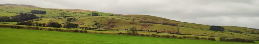
Ingleborough from Clapham
9.6 miles | 15.4 km | 751 m Ascent | 13.3 Naismith miles | Bernie & Sheila Garrett
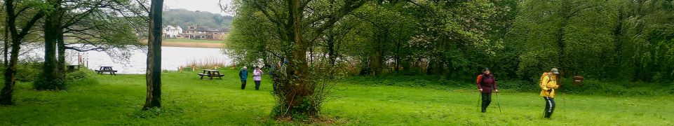
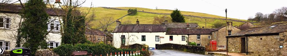
One of the (many) advantages of living in Bentham is easy access to the Yorkshire Three Peaks. The group has taken various routes up each, and in this excellent walk we tackle Ingleborough again. Why? – because it’s still there as Mallory might say.
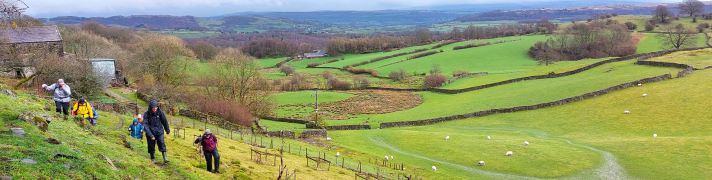
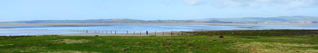
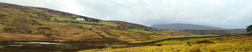
Most walkers start at Ingleton, but we take the slightly less common starting point at Clapham and approach the peak via a route that passes Clapdale Wood and Ingleborough Cave. We then take an optional short diversion to look at Trow Gill, before continuing slightly further north to find an easier route uphill across Clapham Bottoms and on to the famous Gaping Gill. After that there’s a steep climb up Little Ingleborough before we finally reach the peak, where we enjoy fine views and note bronze age remains and a demolished hospice. The diversions just tipped us over the 15km limit that we use to mark a walk as challenging but leave those out and it would be moderate – though still steep.
Ingleborough from Clapham Read More »