Jump to . . .Step by Step | OS Map | Downloads | Gallery | Fly through
One of the (many) advantages of living in Bentham is easy access to the Yorkshire Three Peaks. The group has taken various routes up each, and in this excellent walk we tackle Ingleborough again. Why? – because it’s still there as Mallory might say.
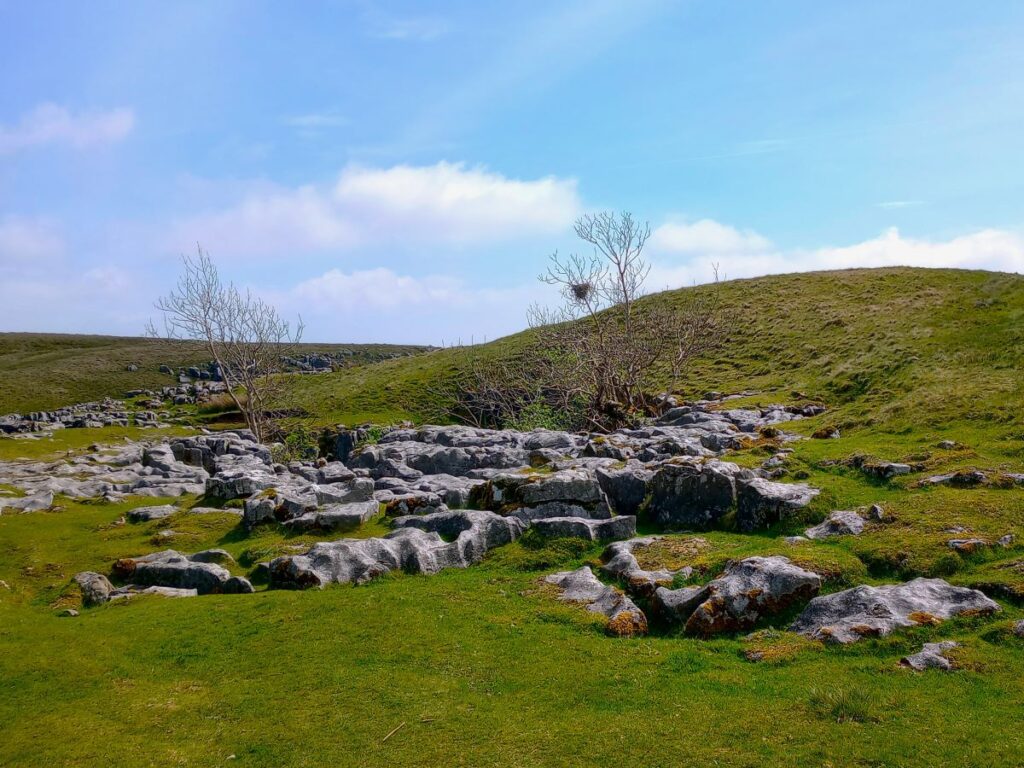
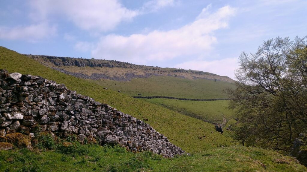
Most walkers start at Ingleton, but we take the slightly less common starting point at Clapham and approach the peak via a route that passes Clapdale Wood and Ingleborough Cave. We then take an optional short diversion to look at Trow Gill, before continuing slightly further north to find an easier route uphill across Clapham Bottoms and on to the famous Gaping Gill. After that there’s a steep climb up Little Ingleborough before we finally reach the peak, where we enjoy fine views and note bronze age remains and a demolished hospice. The diversions just tipped us over the 15km limit that we use to mark a walk as challenging but leave those out and it would be moderate – though still steep.
- Total distance 15.4 km (9.6 miles)
- Total Ascent 751 m
- Challenging walk
Step-by-Step
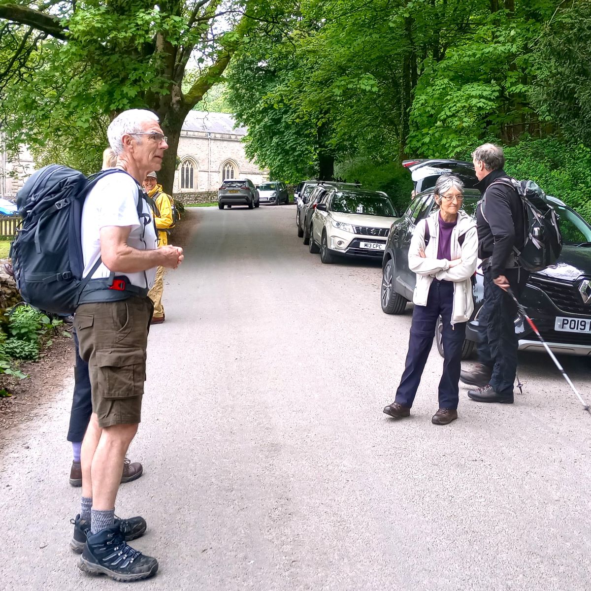
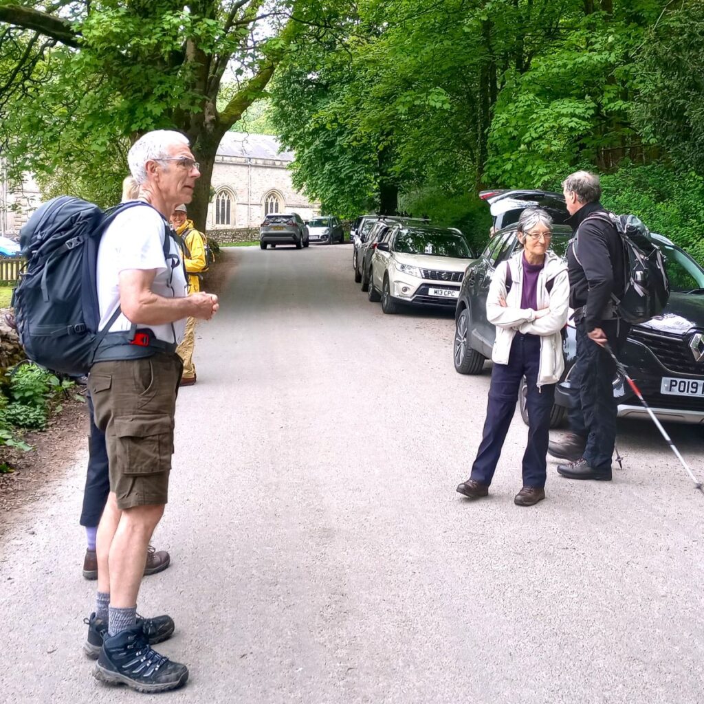
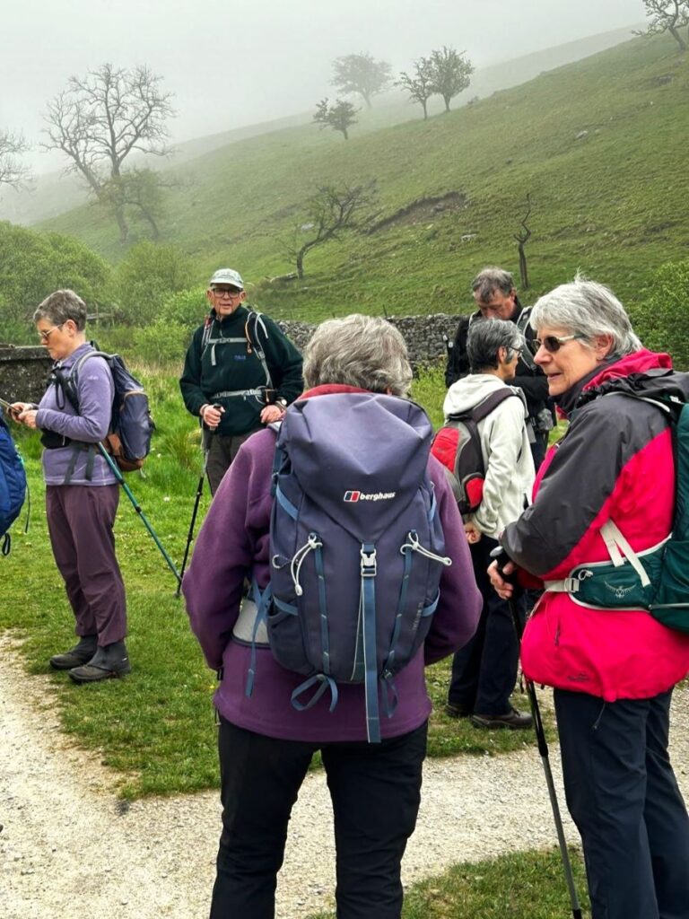
We start in Clapham – which is well signposted from the A65. There is a large car park at the Yorkshire Dales National Park centre, where there are also public toilets. At quieter times of the year it may be possible to find on street parking – we opted for Church Avenue – but if you do this, please park in a manner that is considerate to residents.
If you are using Satnav to get to Church Avenue than the address to enter is Church Avenue LA2 8DT. If you prefer paper maps than the OS grid reference is SD74566938 whilst the what-3-words tag is adopters.noisy.bills
From any of the parking places, we start by heading up to St James Church, a grade II listed building. There has been a church here since at least the 15th century, but almost all of what we see now is the results of extensive rebuilding in 1814 (which were followed by later alterations in the second half of the 19th century). In fact, the tower is all that remains of the 15th century structure.
The interior is equally impressive with fine stained glass and unusual wooden panelling that was created by repurposing Jacobean pews. This was probably implemented in the 19th century as this is when the current pews date from. The church was rebuilt by the Farrar family of Ingleborough Hall, to whom there are several prominent memorials in the graveyard.
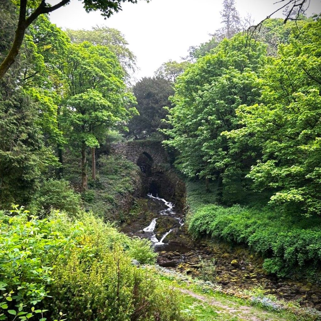
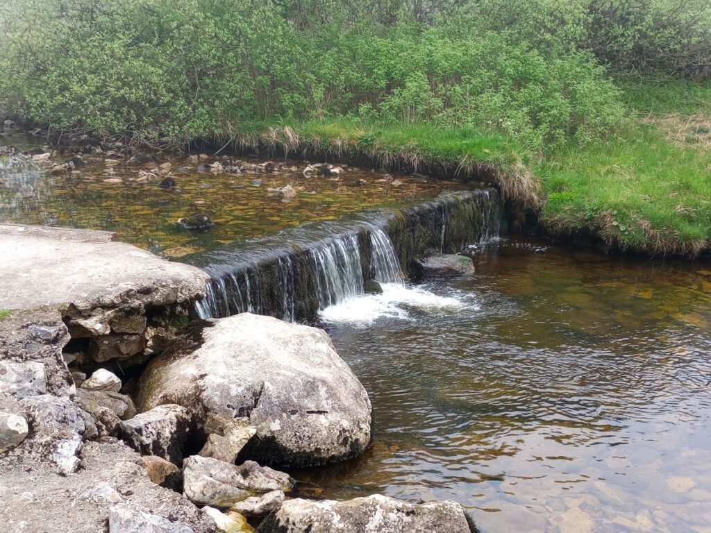
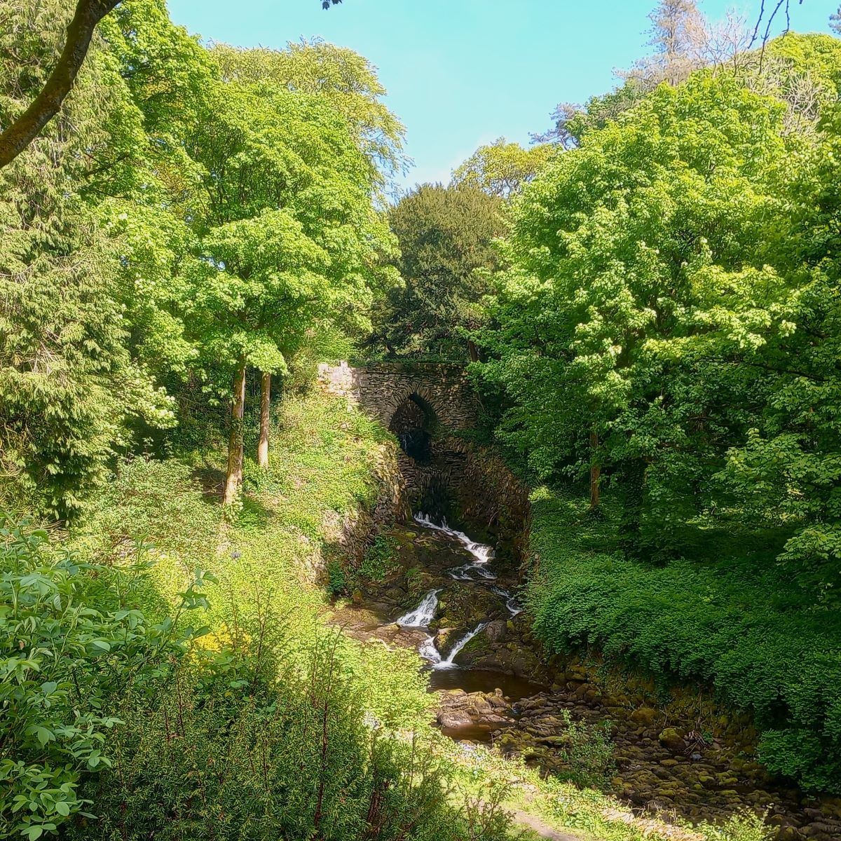
From the church we cross the road bridge over Clapham Beck and then turn right to walk uphill. Almost immediately we find a viewing point on our right where we see Clapham Beck flowing down a waterfall from the (man-made) lake within the Ingleborough Estate. To get any closer to the lake or the dam that regulates the water flow over the falls requires a ticket – these are available from The Old Sawmill, and should you wish, you can walk to Ingleborough Cave via the nature trail path through the estate rather than the (free) route we follow – navigation is foolproof and accessible, and you save perhaps 500m.
Our route continues past the Old Sawmill – we recommend this convenient and friendly cafe – not only is the food good, but there are interesting artefacts from the days when the building was a water powered sawmill for the estate.

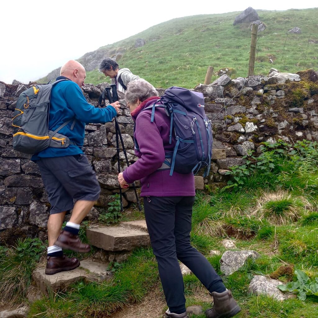
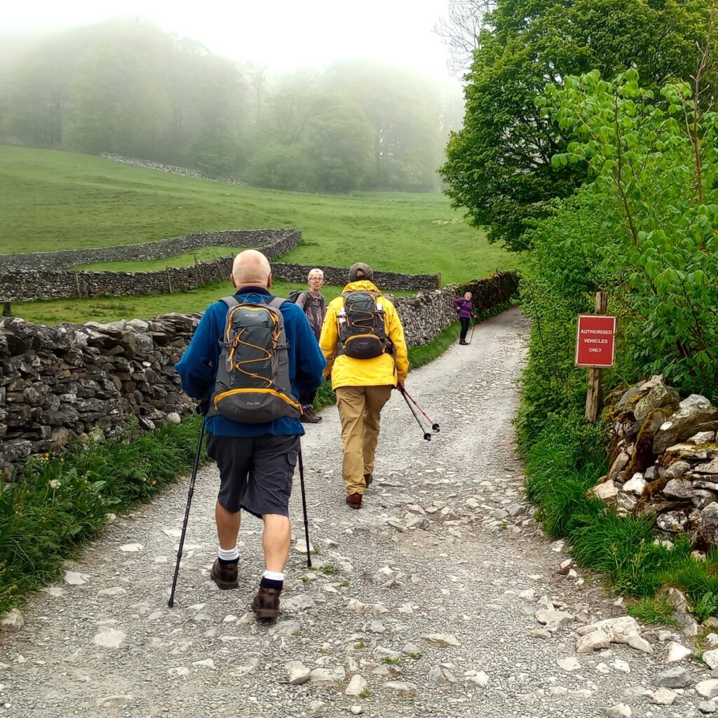
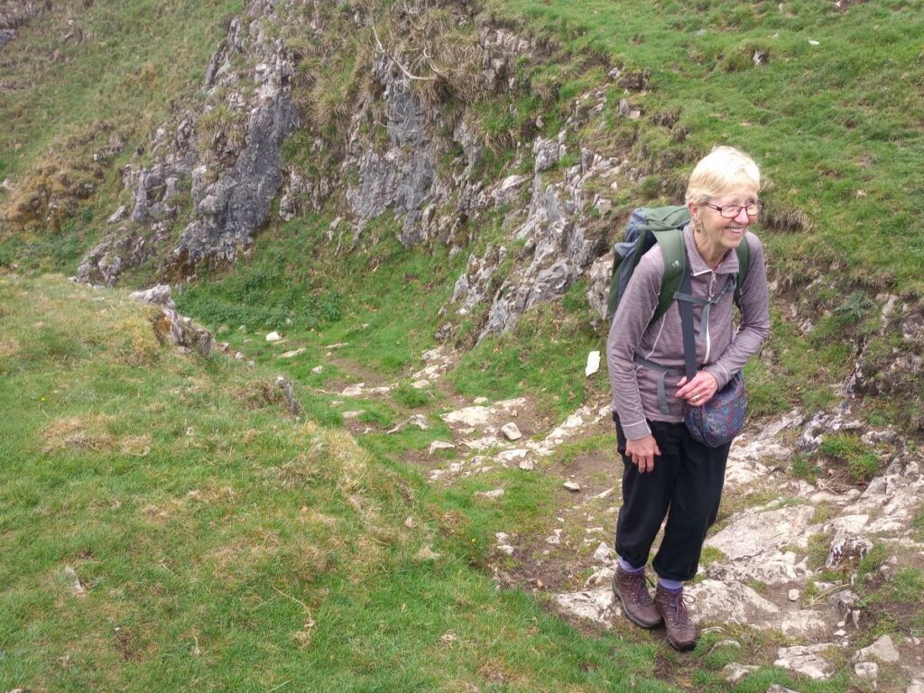
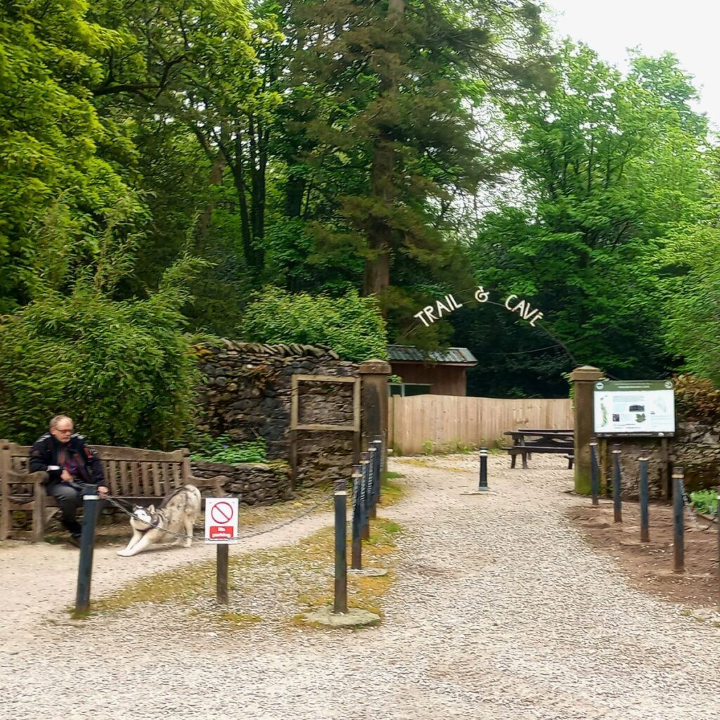
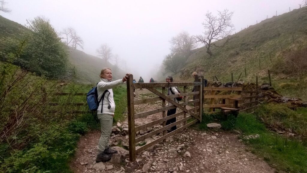
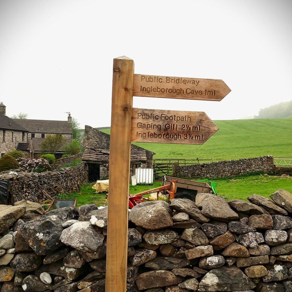
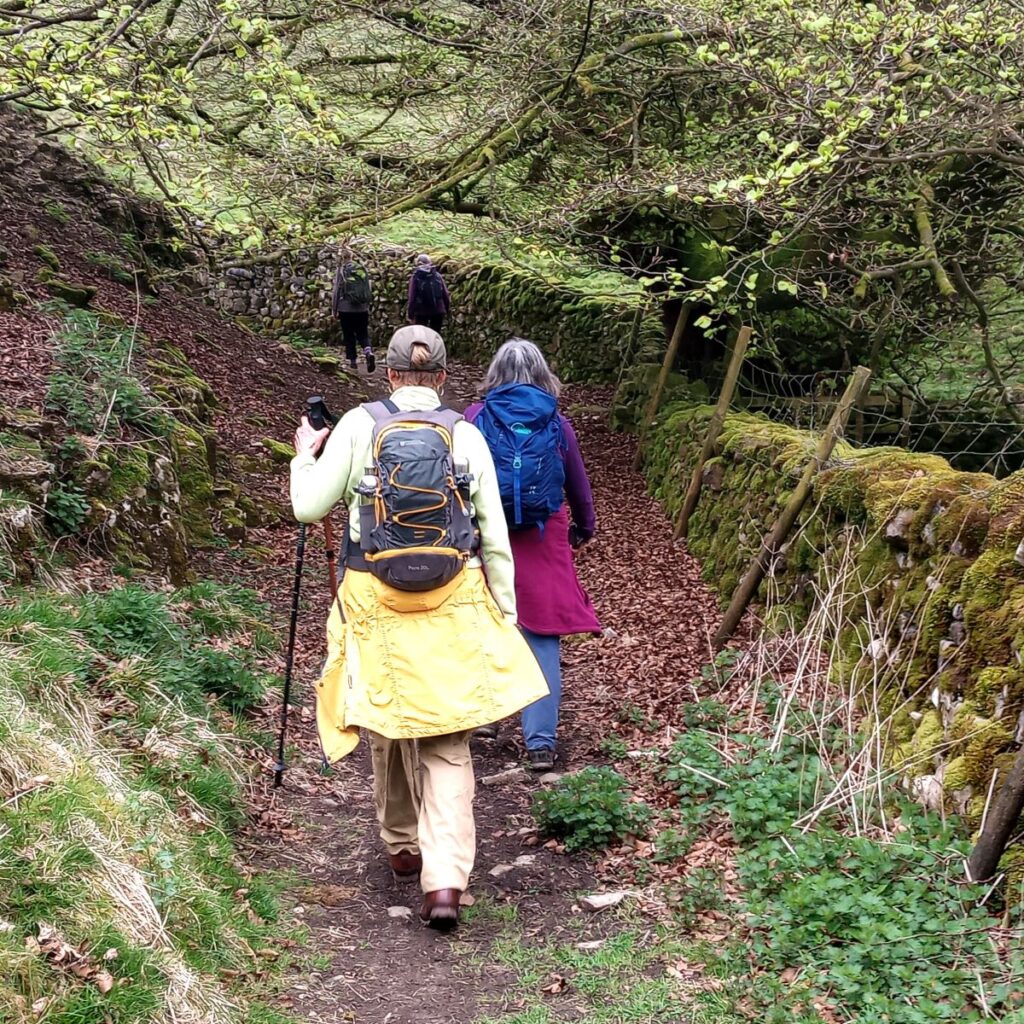
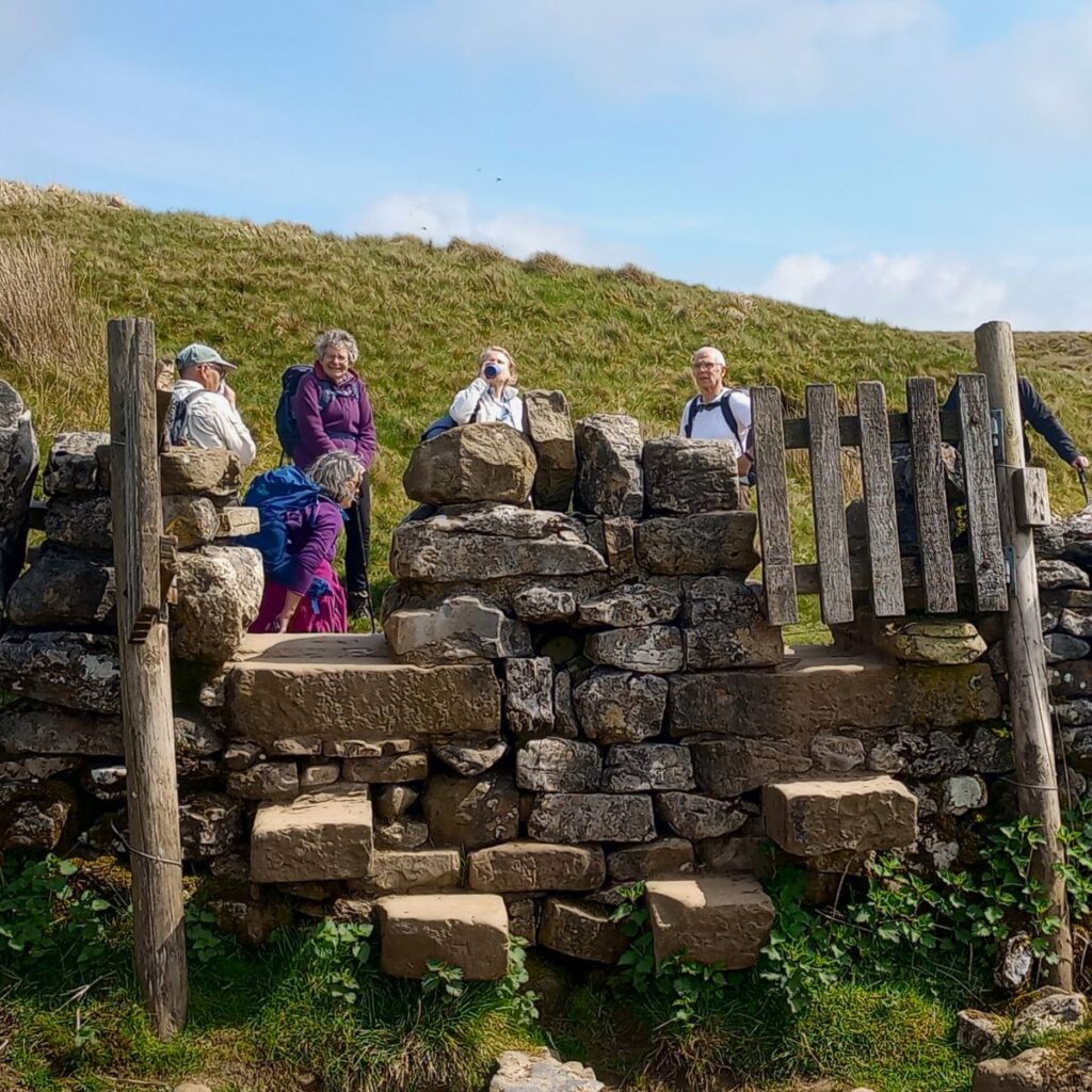
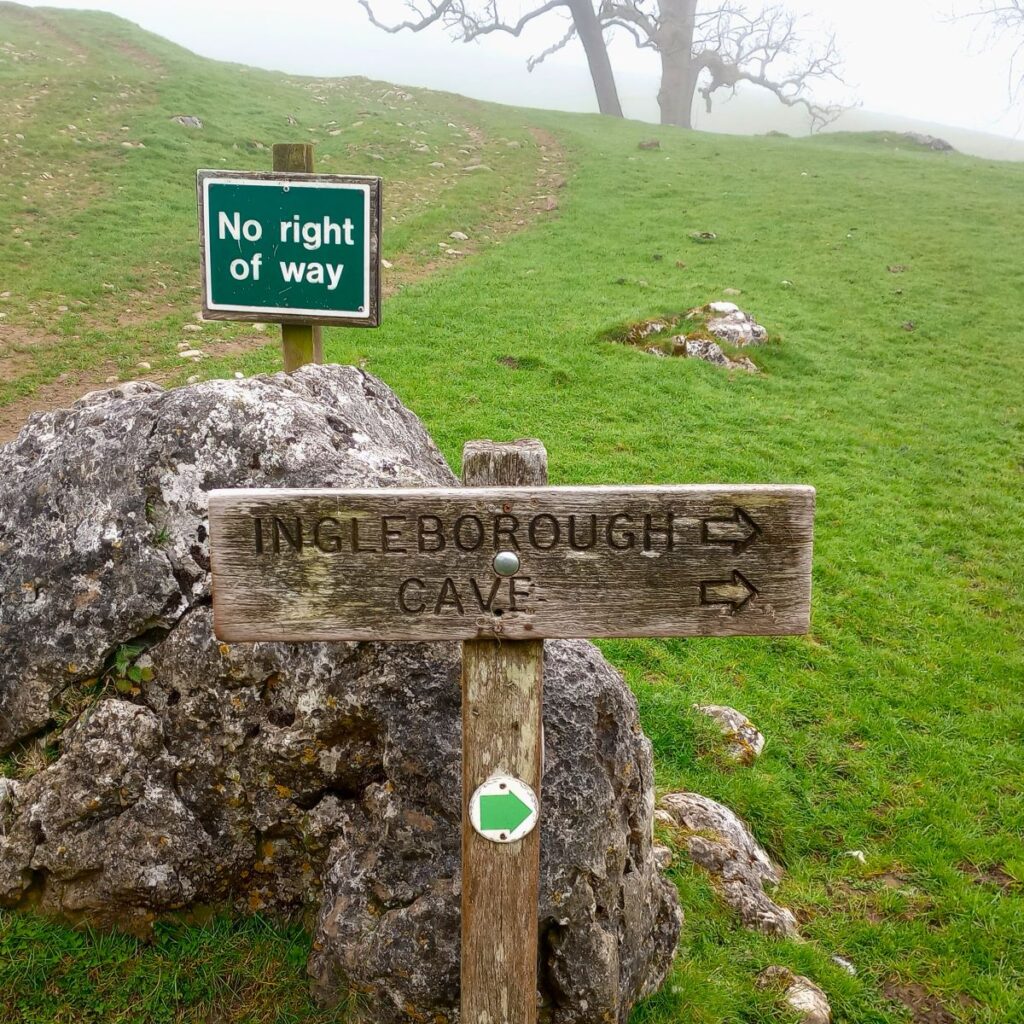
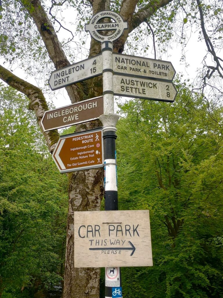
We now head past the side of the sawmill looking for a footpath sign that highlights the route to Ingleborough Cave and Ingleborough – this is no more than 30m past the sawmill. We head right and follow a clear track which takes us around the outside of the Estate and up to a farm at Clapdale, 1km to our north. On the way we pass Limekiln Plantation (on our left) and the rear of Clapdale Wood (on our right). At the farm, we continue to follow the track and then after a gate need to head right – the track continues on, but there is clear signage to highlight the correct route (pictured).
The path now heads steeply downhill and back to Clapham beck. We are now outside the northern perimeter of the Estate, and once at the bottom of the valley, we head left toward the cave.
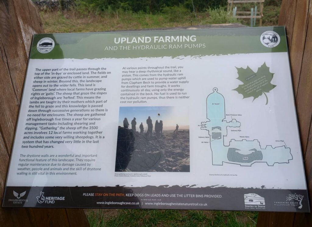
Before we get that far though, we (may) hear a curious regular thumping noise – which we soon realise is coming from an enclosed pump house next to the beck. This is a “hydram” pump, a device which uses water pressure from the water cascading downhill to pump a smaller supply uphill. The simple yet effective device is almost maintenance free and reputedly converts 98% of water energy to produce a supply of water to the farm buildings we passed a few minutes ago, and now 100m above our path. Click here to see a YouTube video explaining how these pumps work
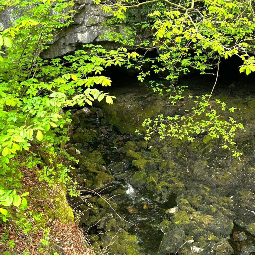
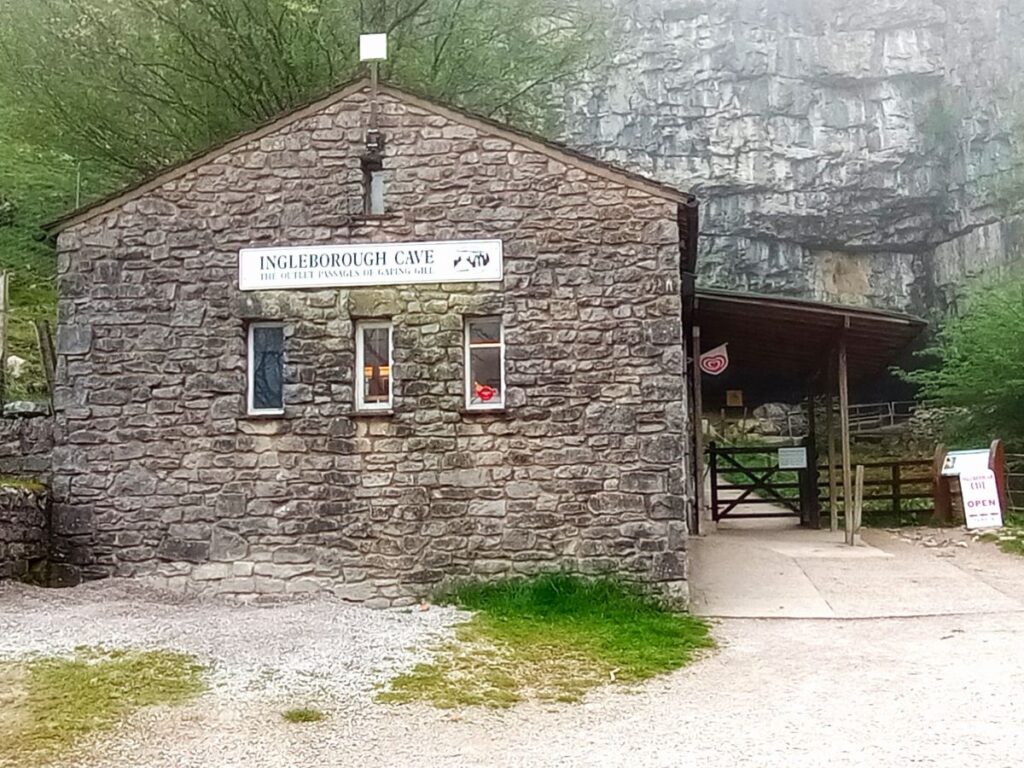
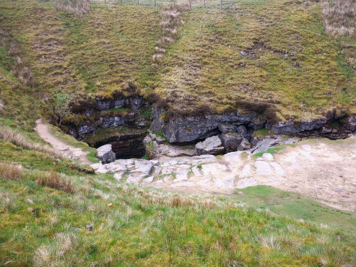
Ahead, and to the left of the beck we now see a more substantial building – this is the entrance to Ingleborough Cave, which was first discovered in 1837 by Victorian explorers who drained away a small lake and went on to discover 500m of previously unexplored passages reaching deep below Ingleborough – which is presumably why the cave is not called Clapham cave.
Today, the cave is well lit, and has been opened up to enable the building of concrete footpaths which leads visitors through a kilometre of passages, passing impressive stalactites, stalagmites and flowstones, dating back millions of years. If you came to here via the nature trails walk, you have the option of a ticket for the caves – this would add about half an hour to the day. Click here to see a YouTube video of the cave
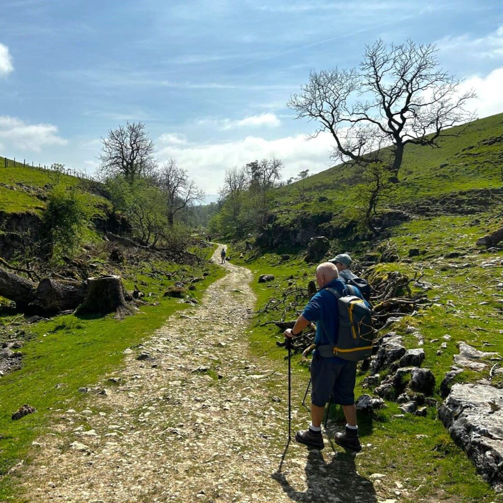
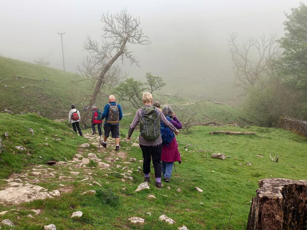
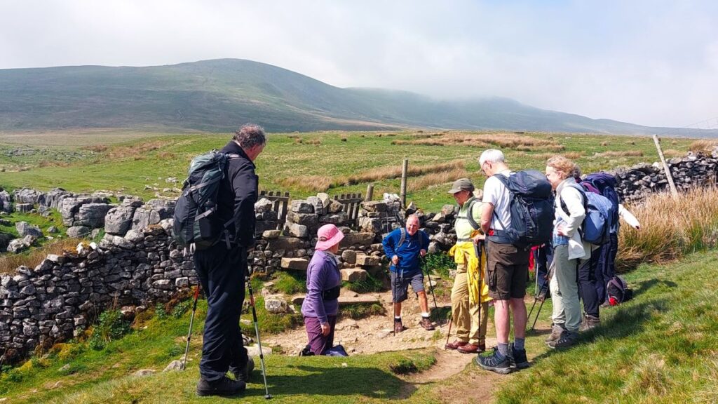
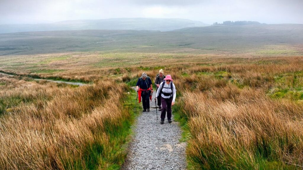
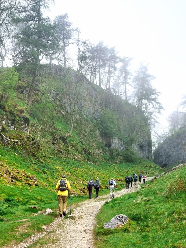
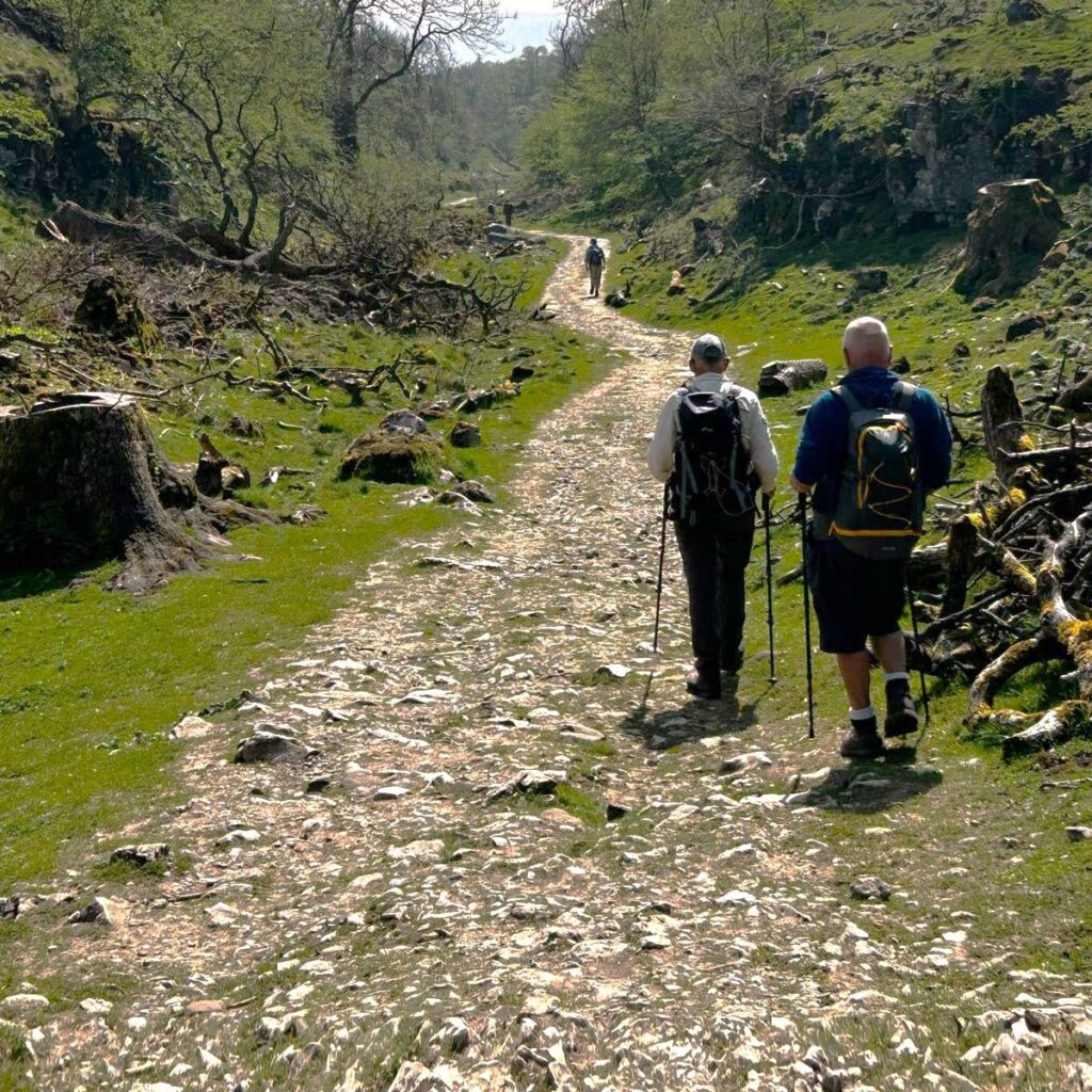
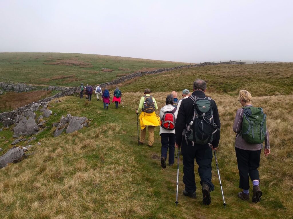
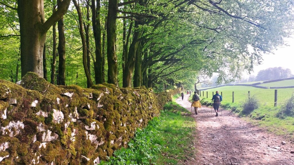
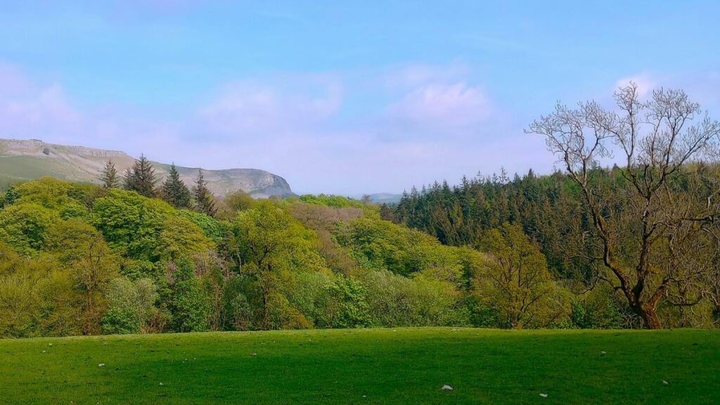
Beyond the cave entrance the track continues over a bridge -the beck emerges from a spring at Beck Head next to the bridge. From here onward we are in the valley bottom within a very pretty ancient woodland. We follow the path up a very slight slope for about 250m until we see a stile on our right – this is a good route up to Long Lane. We don’t take the stile this time, though and instead use it merely as a landmark – we need to follow the path round to the left a little, where we soon have a choice of routes.
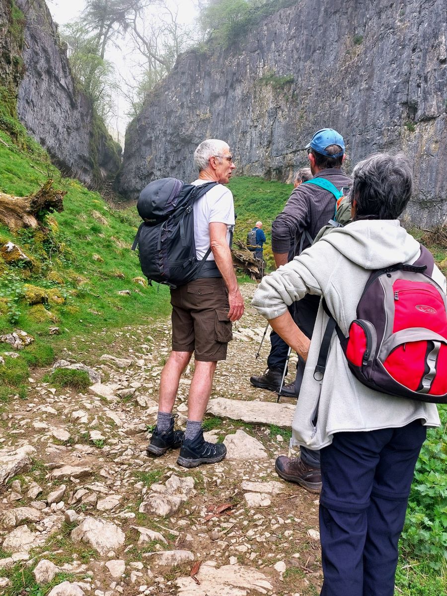
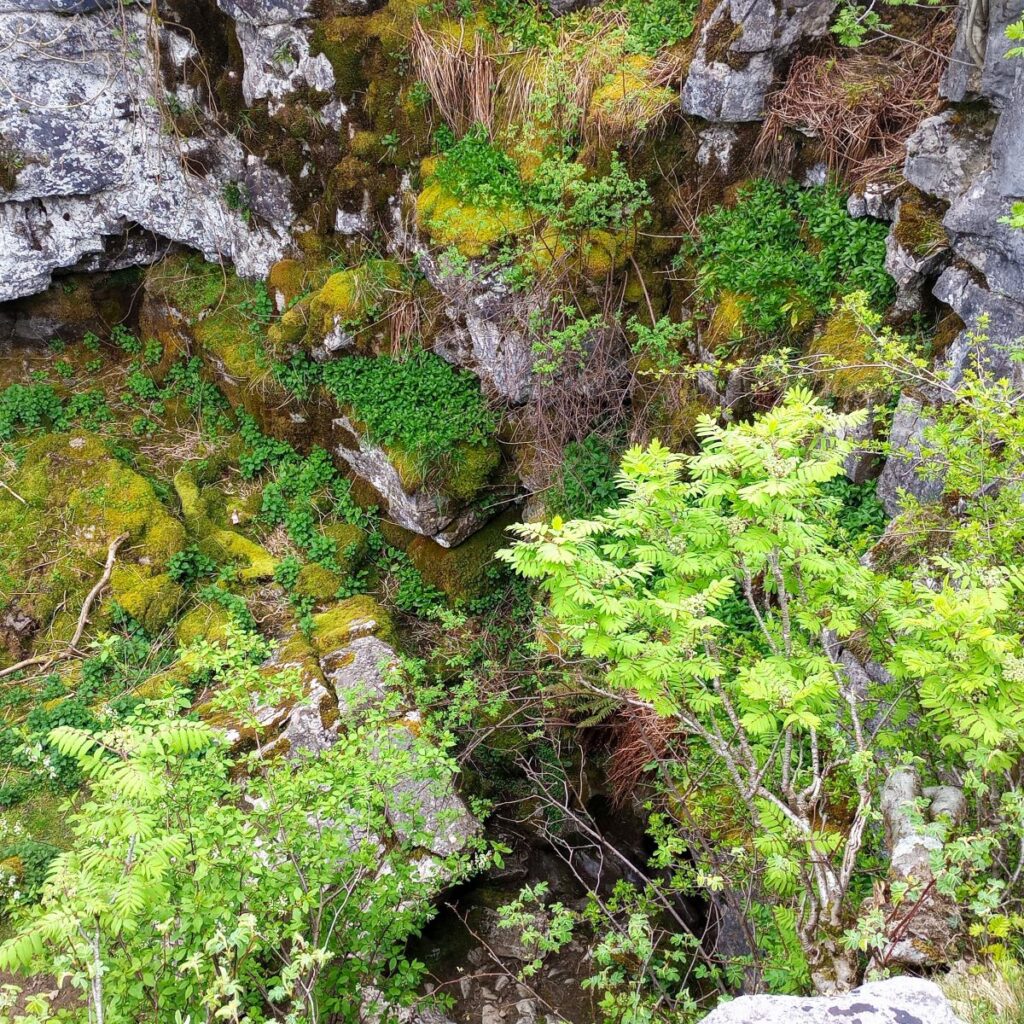
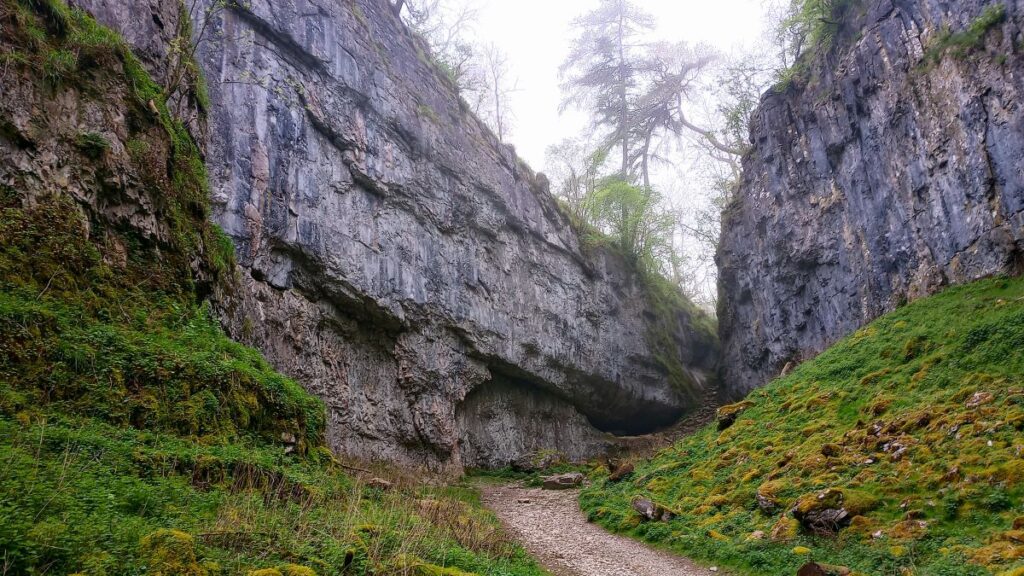
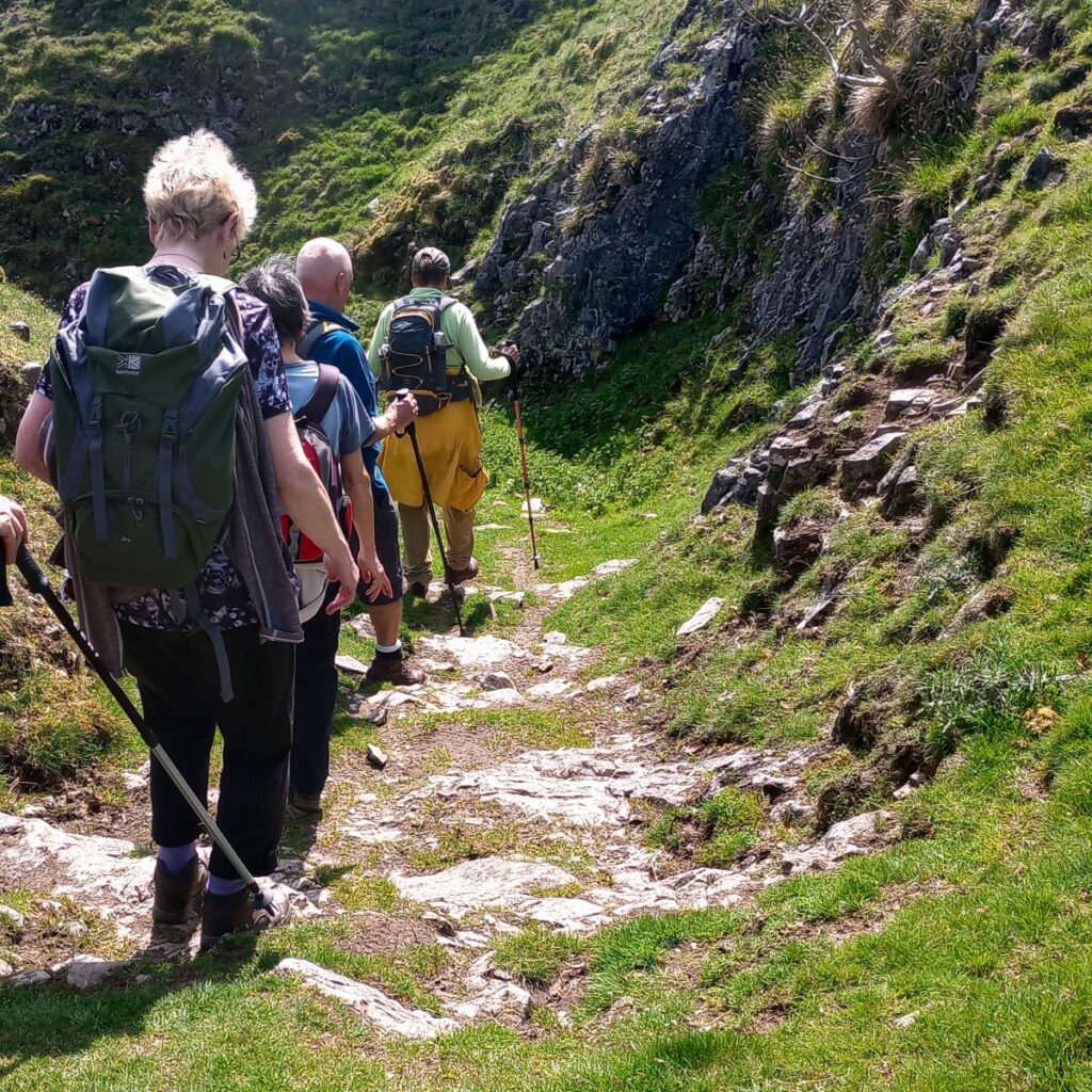
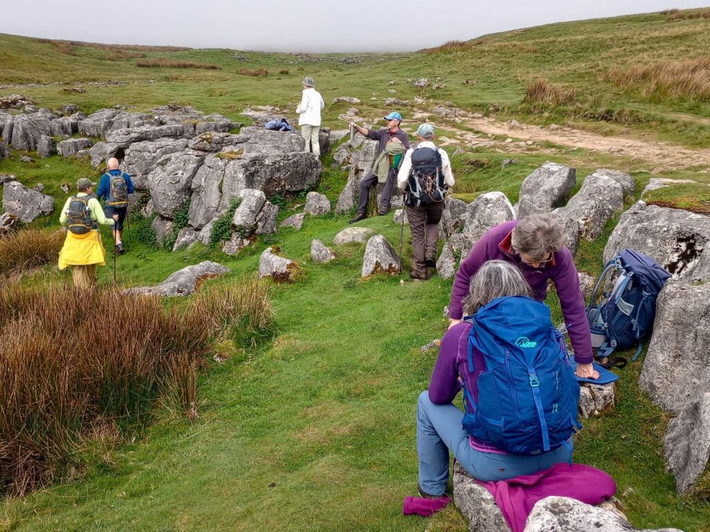
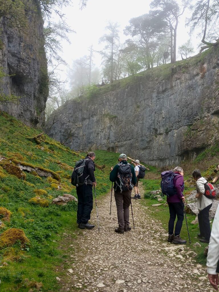
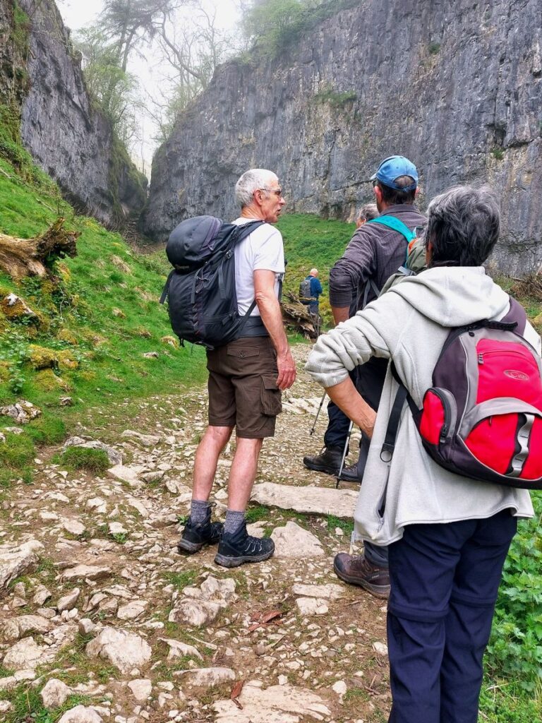
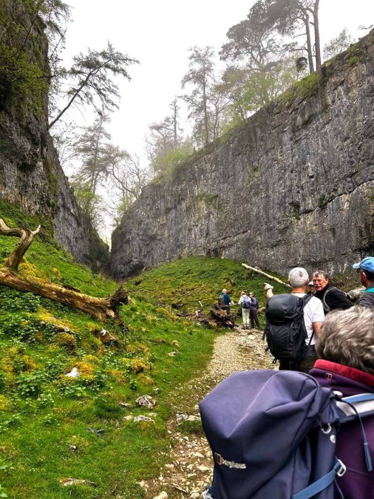
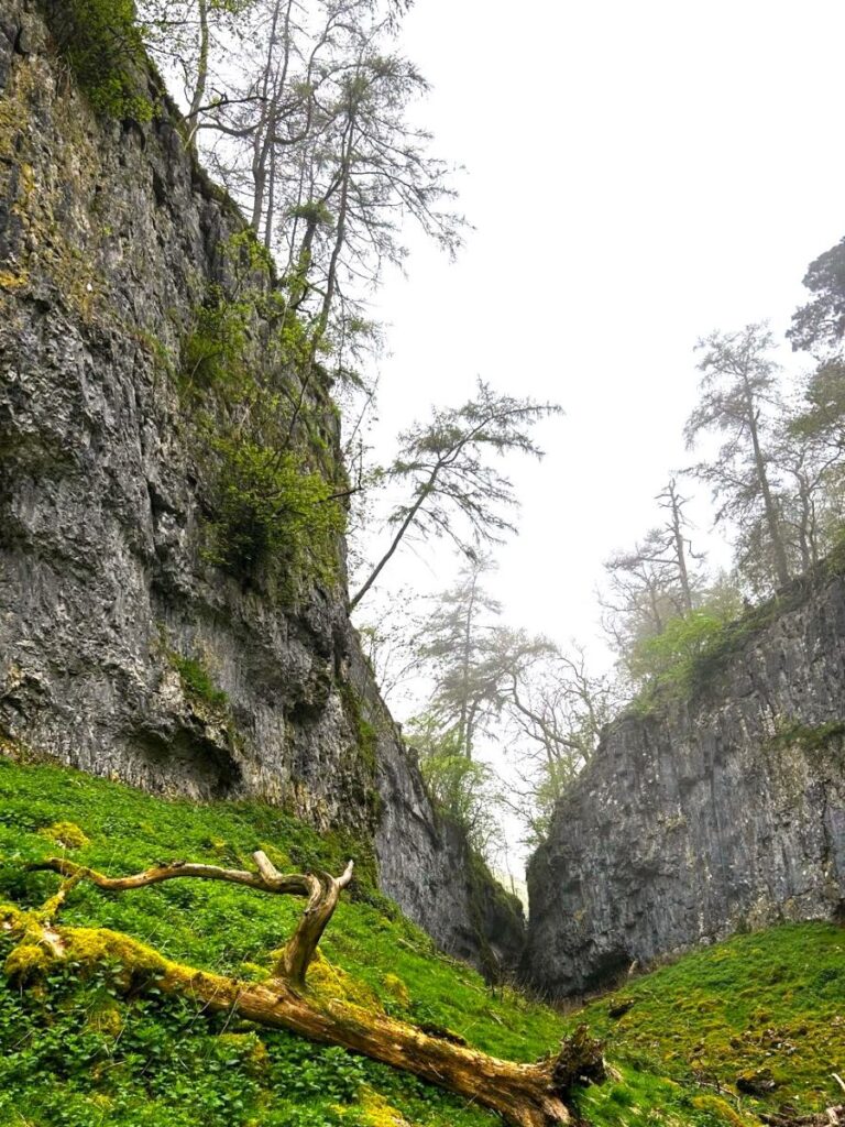
The more common route is hard left on the Pennine Journey path up Trow Gill – a dry gorge which was possibly once an underground cavern formed by waters which now take an alternative route through the Ingleborough Cave / Gaping Gill system. At some point in geological time the roof of this cavern is believed to have collapsed – Trow Gill being the suggested result (though other theories have the ravine as simply a glacial meltwater channel).
The route up through the gill is steep and can be a bit of a scramble – but there is an easier alternative. We took an intelligent compromise and walked up to Trow Gill for good look before returning to the base and then heading onward – just 40 m from the stile that we used as a landmark. This easier path heads north and then swings round to the left to take an easier route parallel to Trow Gill.
After about 500m heading northwest, we meet the Pennine Journey path again – so whether you prefer the rewarding but challenging Trow Gill route or our easier alternative is a matter of taste – we come back much the same way of course, so you could do one outbound and the other on the return.
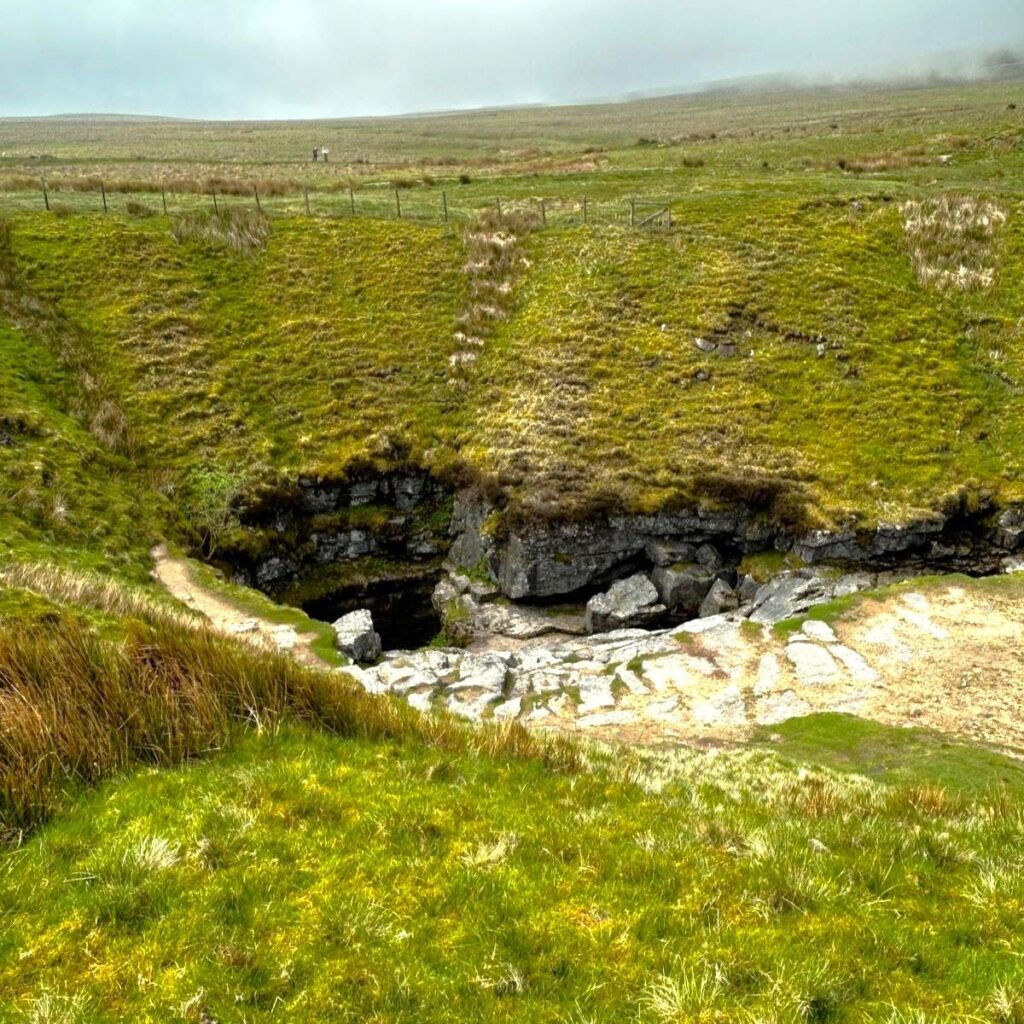
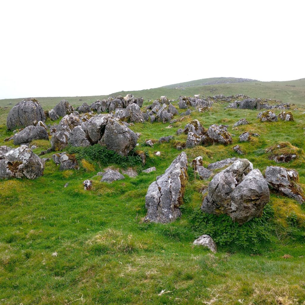
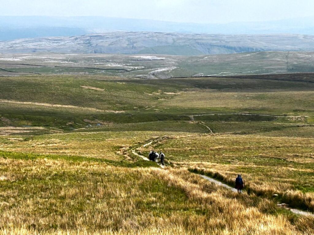
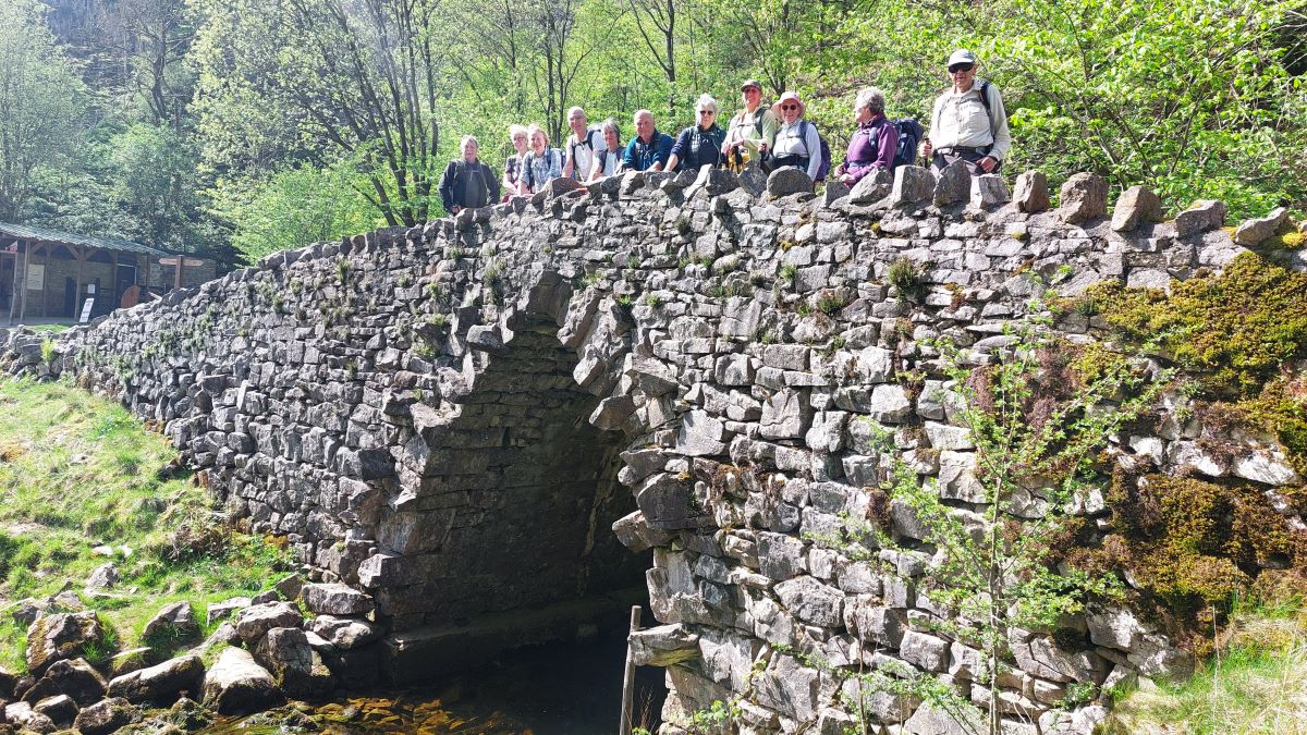
Our next landmark – about 300m after we arrive back on the Pennine Journey path is Gaping Gill, one of the most famous caves in the Yorkshire Dales National Park and one of the largest underground chambers in Britain. The main chamber measures 129m long, 31m high, and 25m wide. Depending on weather conditions, Fell Beck – a stream with intermittent flow which can entirely disappear in dry conditions, pours over a lip of rock above and then crashes 100m to the floor of the cavern before draining through to Ingleborough Cave and emerging as the Clapham Beck that we saw earlier in the day.
The Gaping Gill cave system is one of the longest and most complex in the UK, in fact, it wasn’t until 1983 that members of the Cave Diving Group made the long sought connection between this cavern and Ingleborough Cave – that difficult connection is most definitely not part of the tourist trail at Ingleborough cave.
Settle resident John Birbeck, who also made the first descent of nearby Alum Pot, attempted the first descent in 1842, having first diverted the beck. He was lowered on a rope by farm labourers, but he only reached a ledge 58m (190ft) down, which is known today as Birbeck’s Ledge. Then in 1895 Frenchman Edouard Martel made the first descent to the bottom using a rope ladder and a candle. He kept in contact with the surface by telephone – why he used candles when battery powered lights and telephones were available is not recorded.
Today, access to Gaping Gill can be enjoyed by cavers and non-cavers alike, thanks to two local caving clubs. For a one-week period in May and August, the Bradford Pothole Club and Craven Pothole Club run a ‘winch meet’ event, at which they set up a winch to allow members of the public to descend into the chamber. The descent takes a matter of minutes, and the explorer is then able to wander around Gaping Gill chamber, under the beauty of floodlights, to see the magnificent cavern. Click here to see a YouTube video of this.
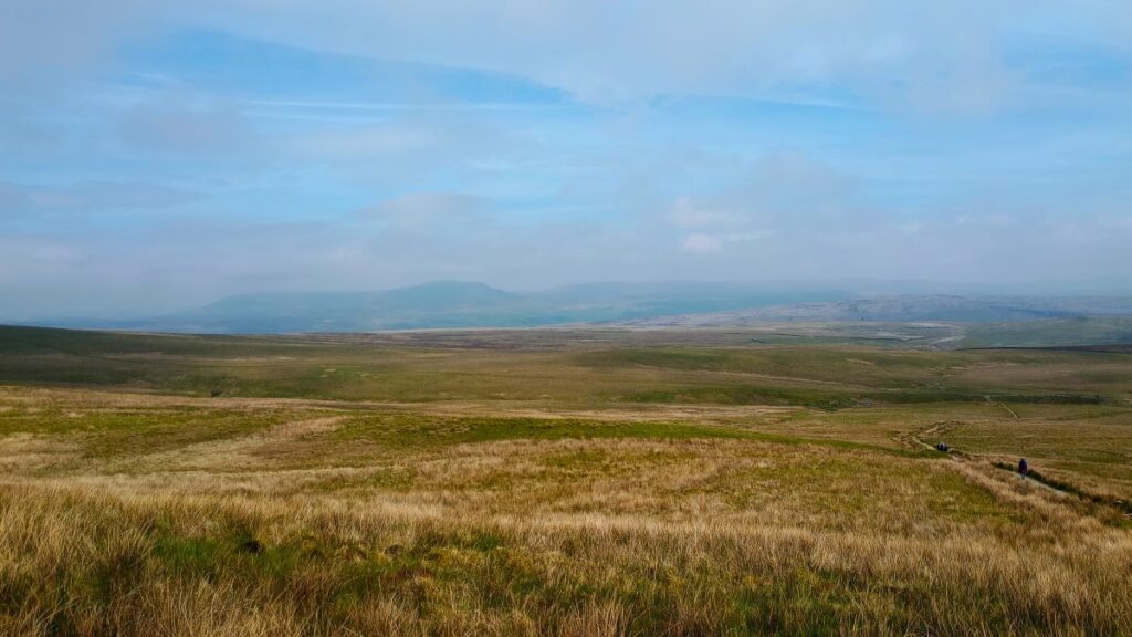
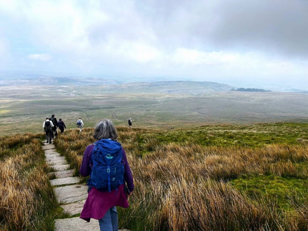
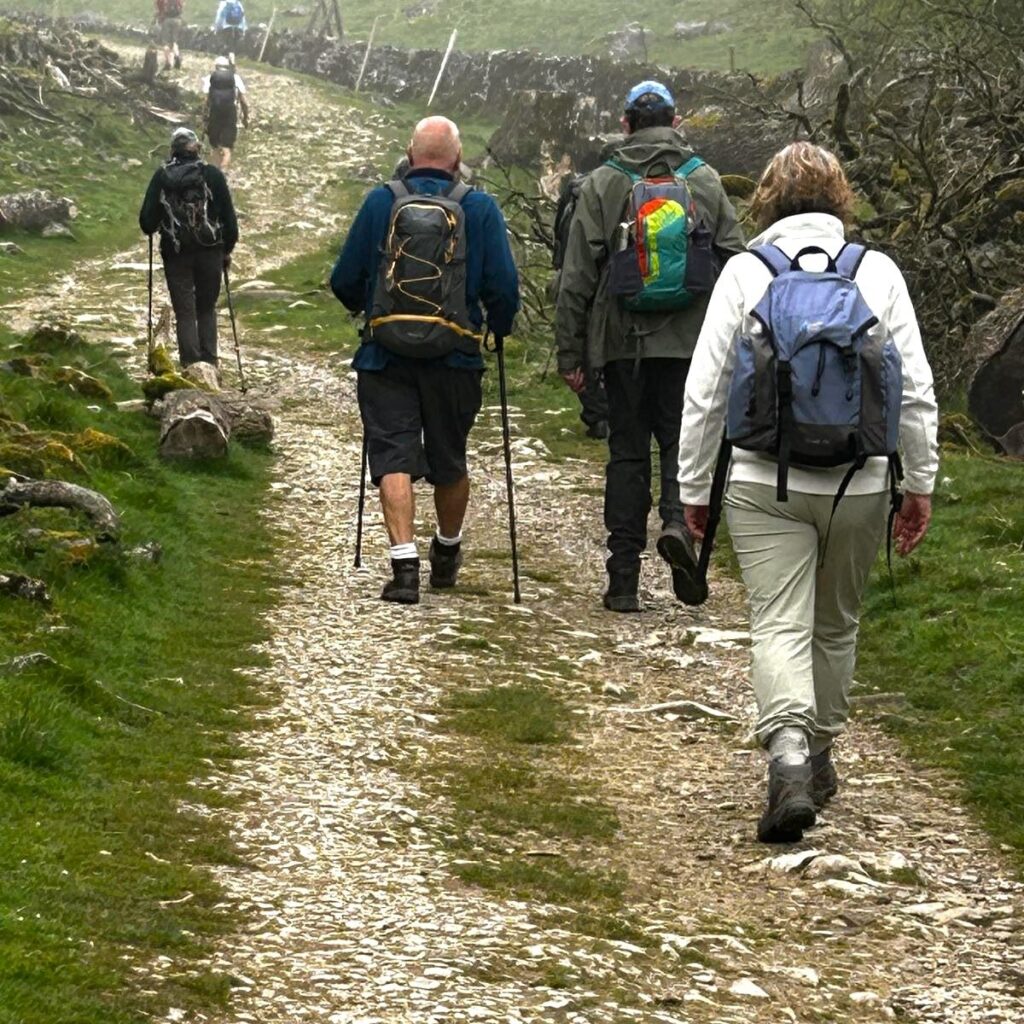
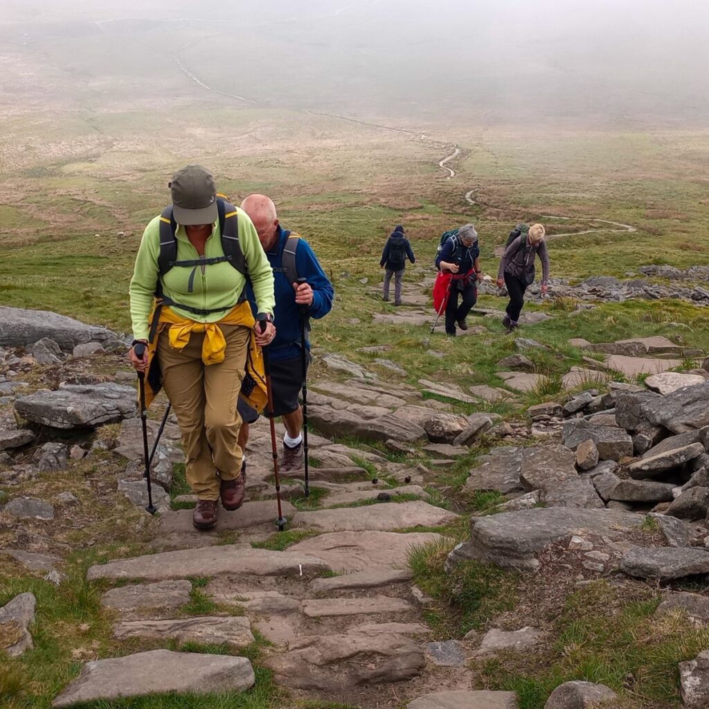
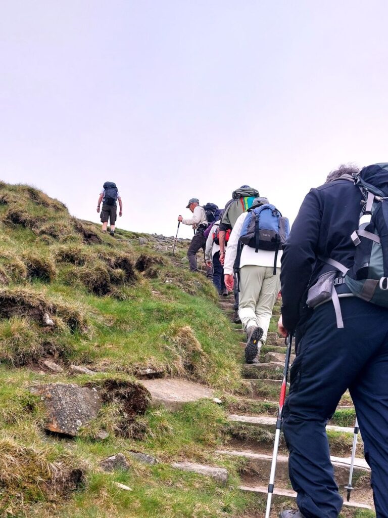
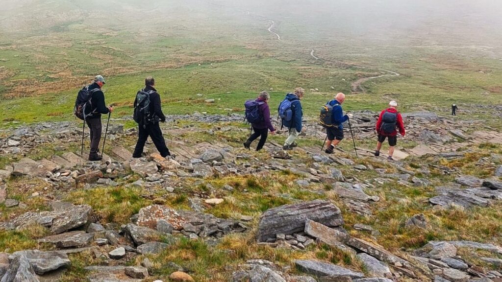
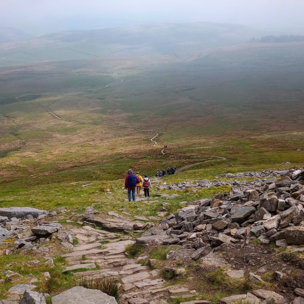
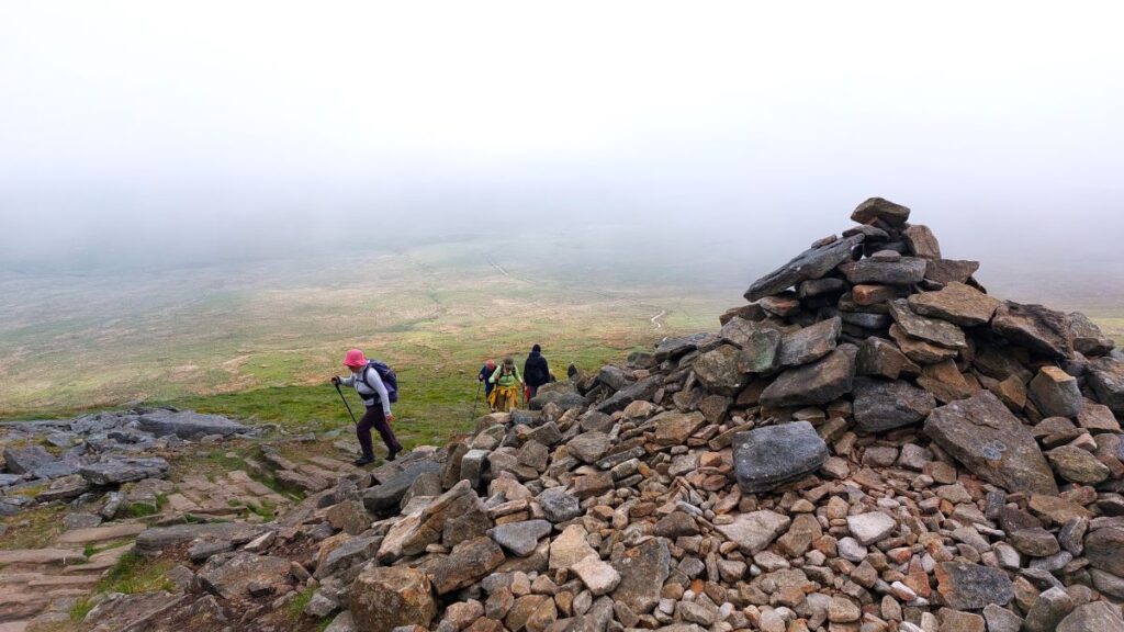
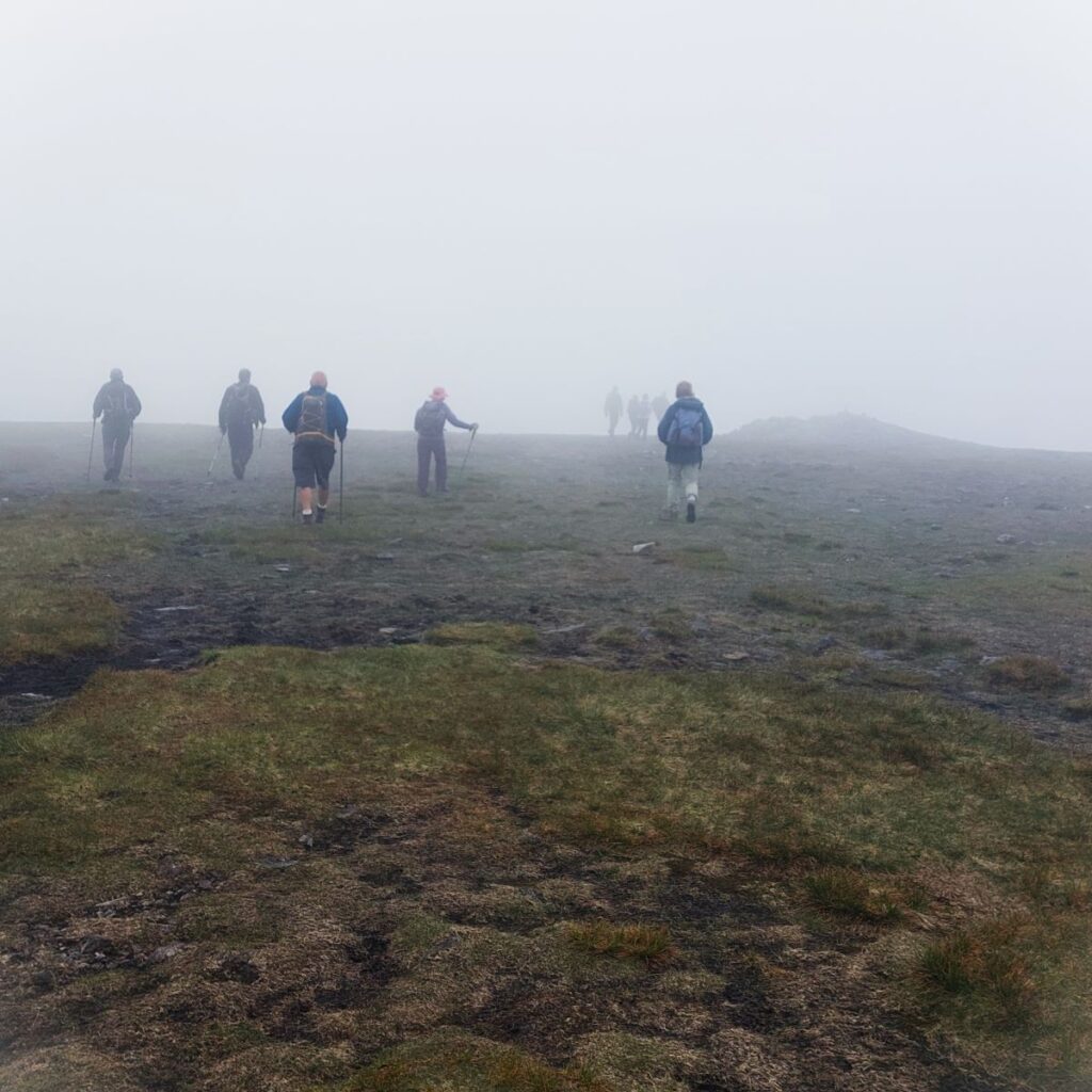
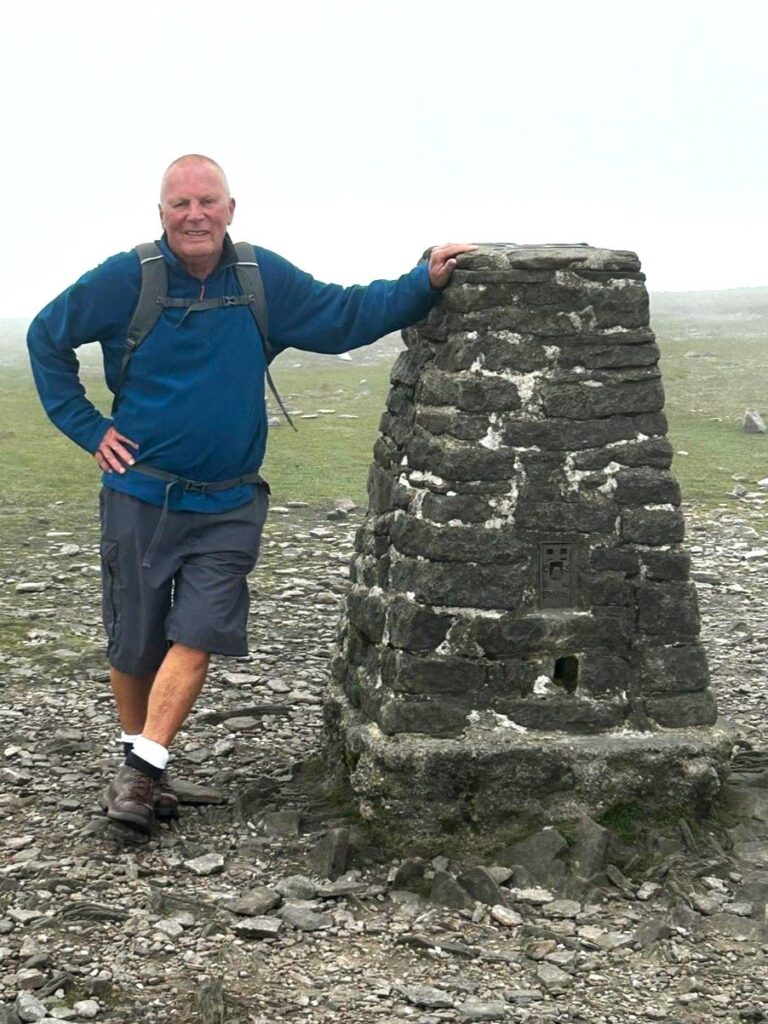
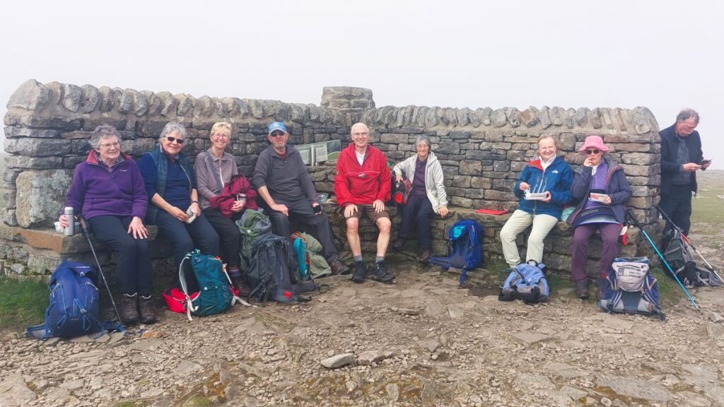
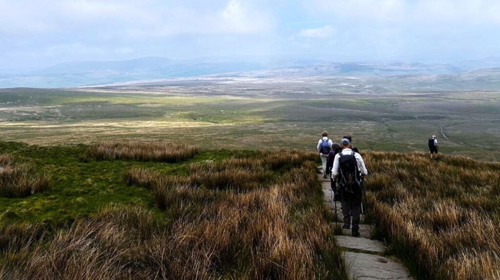
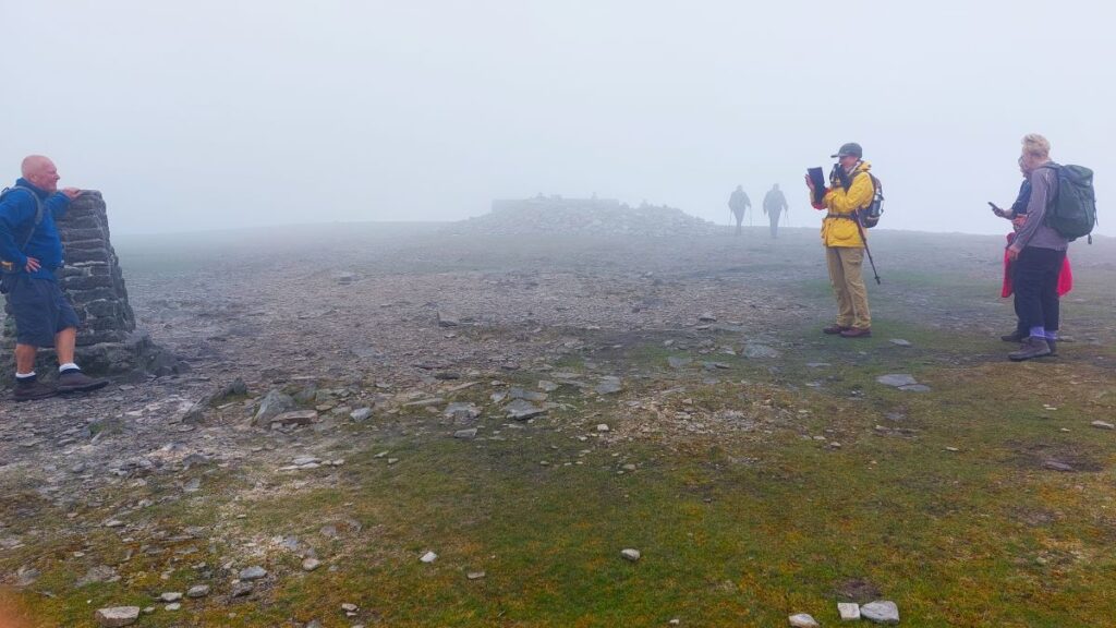
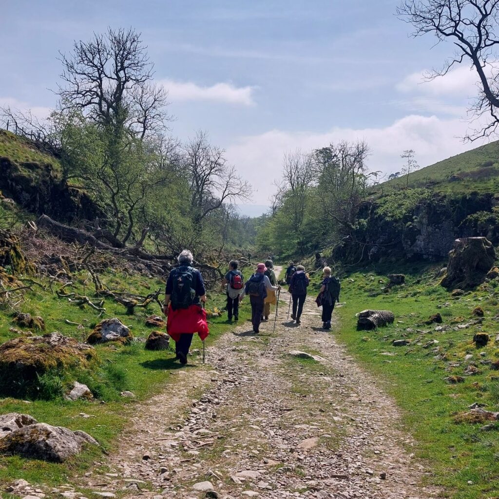
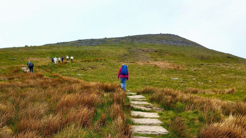
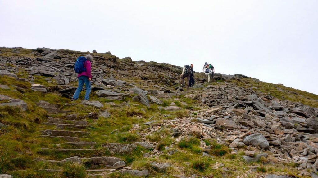
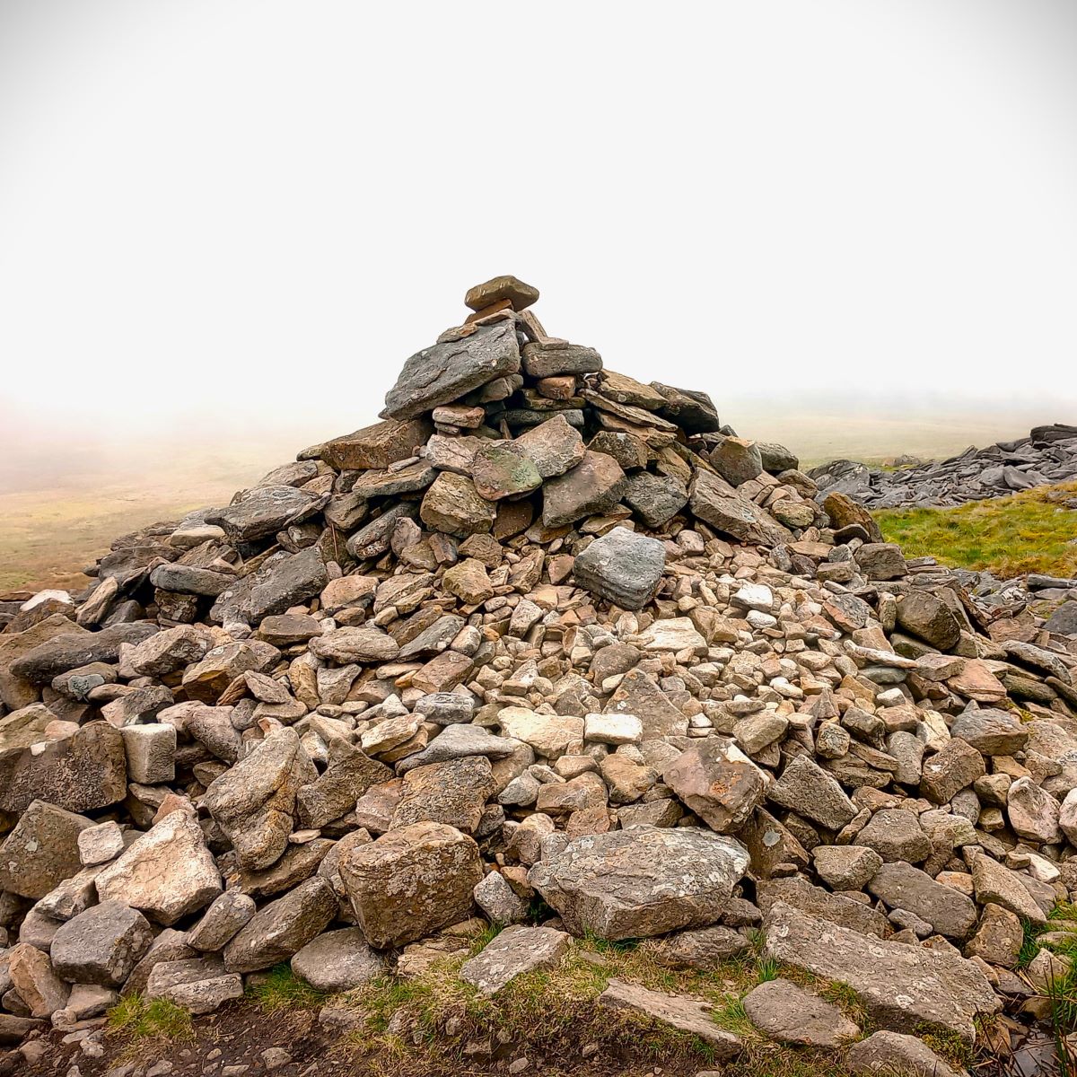
Having enjoyed the view of Gaping Gill, we head back to the Pennine Journey footpath and start the slog up Little Ingleborough, before following the ridge line north to the peak of Ingleborough, using the Trig point as a guide. There is no disguising the fact that this is hard work – but the views from Ingleborough make it worthwhile.
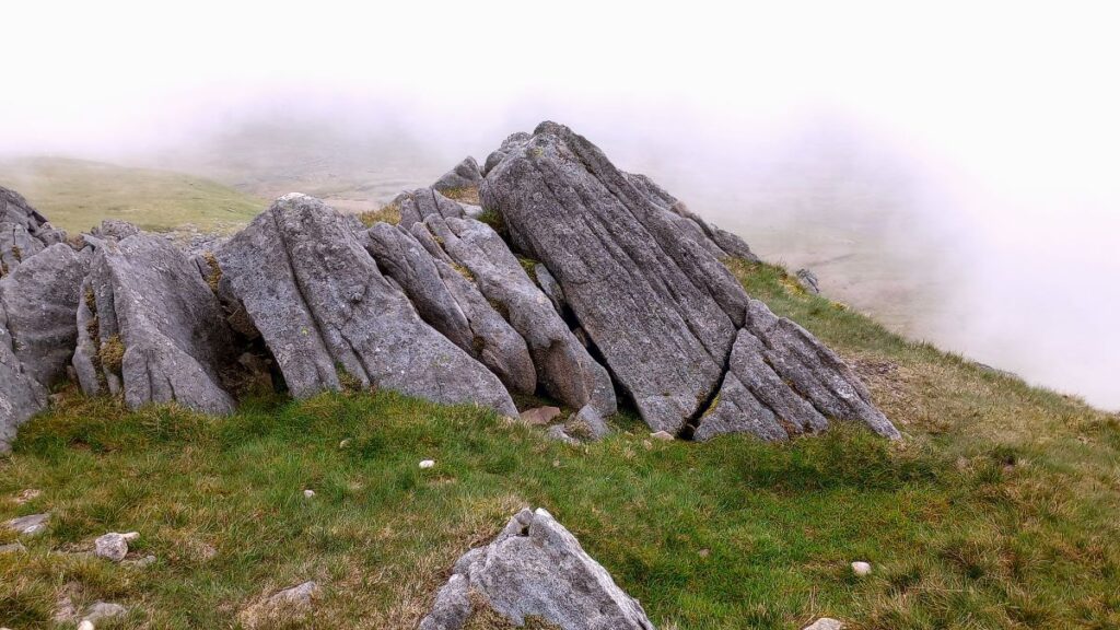
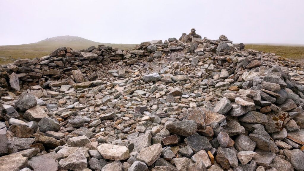
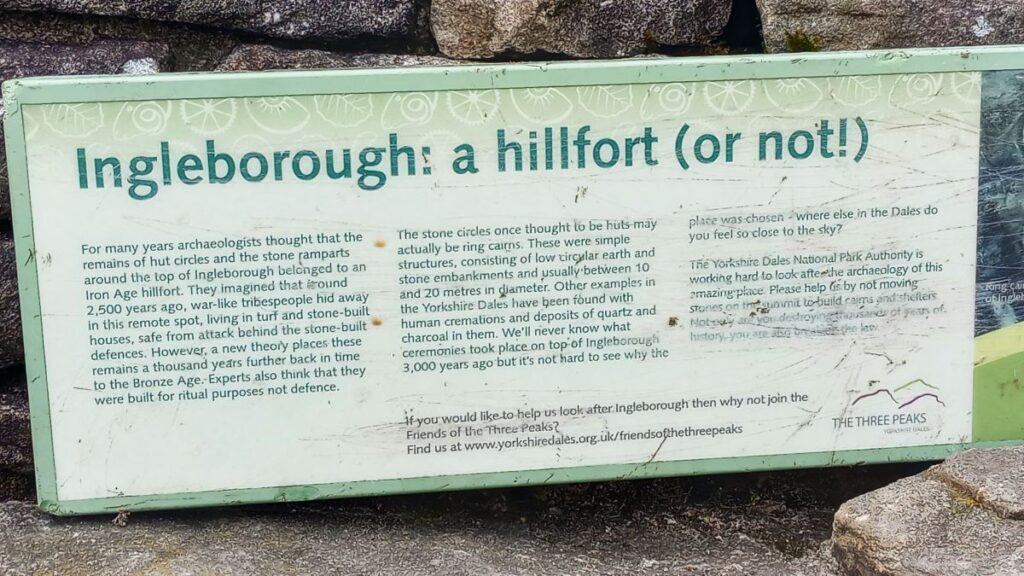
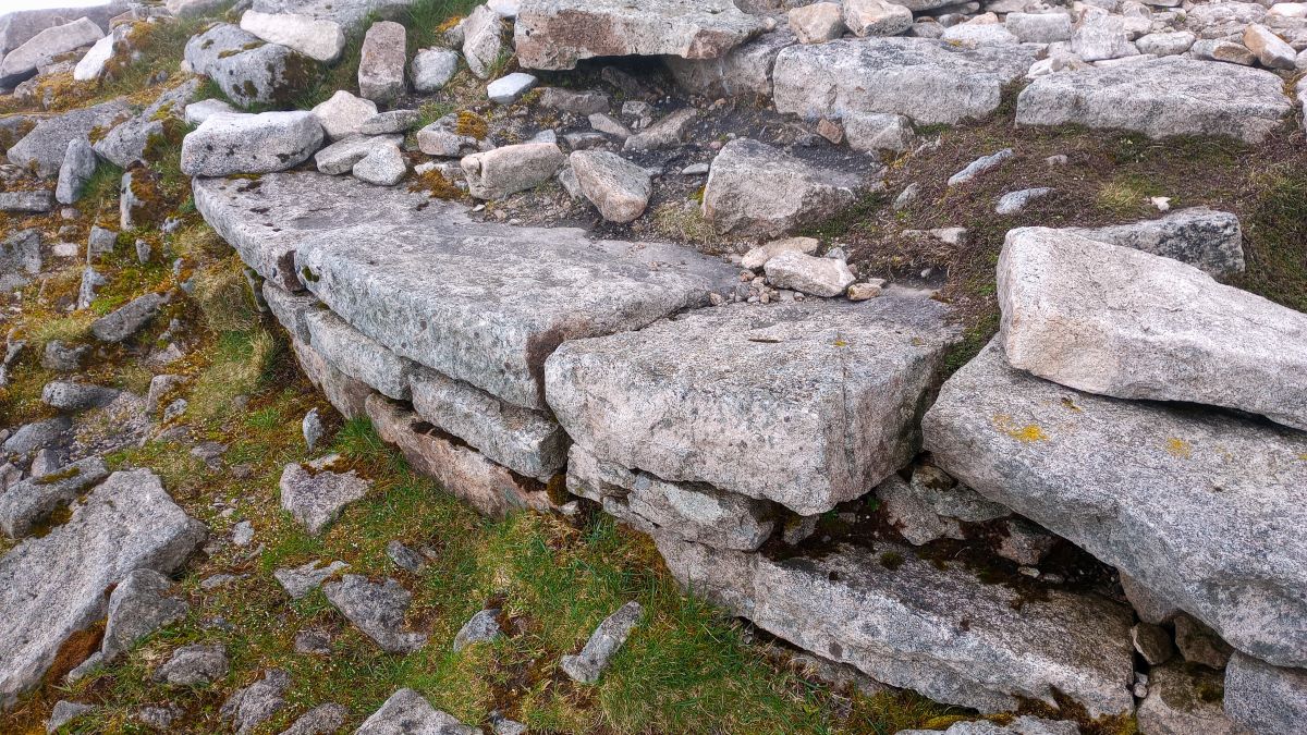
A glance at the OS map shows that as well as the viewpoint, we need to look for evidence of a fort. It was once considered that the somewhat sparse remains of buildings here were evidence of Iron-age forts dating back 2500 years and offering a strong defensive vantage point. More recent analysis suggests however that they are more like 3500 years old and therefore Bronze age. The structures that were once assumed to be huts are now thought to be ring cairns, used in funerary rites.
Also present at the peak of Ingleborough is another architectural relic – though this one is much better understood; Look for traces of a circular stone foundation – these are the remains of Ingleborough Hospice, a building with a bizarre history.
A Bentham resident called Hornby Roughsidge (or Roughsedge) was a prominent local landowner during the reign of William IV – he financed the building of St Margaret’s church on Station Road in Bentham amongst other works. In 1830 he became Lord of the manor at Ingleton and resolved to build a structure on the peak of Ingleborough to serve as a shooting lodge and Hospice (then meaning a place to shelter rather than a charitable medical facility). Money was raised by public subscription and a magnificent stone tower featuring a dome and flagstaff adorned with an impressive doorway carrying the Latin inscription “pro bono publica” which translates as “for the good of the public” was built.

The opening ceremony was accompanied by athletic events and horse races, and it would seem that the warm weather required a great deal of care in respect of re-hydration. Later in the day, profoundly refreshed residents who resented to appearance of the structure on “their” hill returned and destroyed the tower – it seems that the timespan between opening and almost complete destruction was less than half a day.
Our return route is essentially the reverse of the outbound path – although we opted not to revisit Gaping Gill and Trow Gill again. The route will be familiar to you from earlier in the day, so we don’t describe it here.