May 2023

Yarnbury Lead Mines and Mossdale

9.9miles | 16.0 km | 333 m Ascent | 11.6 Naismith miles | Sandra Craggs
This walk can be considered to connect with at least two other Bentham Footpath Group walks: It physically shares part of the route of our Copplestone Gate and Conistone Pie walk, and although in a different part of the Yorkshire Dales, it shares much of the industrial heritage of the Gunnerside and Old Gang Smelt Mill walk.
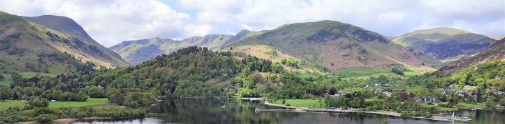
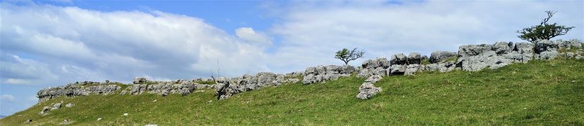
The first half of the walk heads across Downs Pasture to the top of the Dib at Conistone, with great views of the Wharfe Valley and as far South as Pendle Hill. From there we head up the Bycliffe Road to Kelber Gate and then on to Mossdale Scar. The return journey takes us over Grassington Moor and through increasingly bleak, but strangely beautiful lead mining spoils back to the mines at Yarnbury where we spend a while exploring the remnants of this once vast industry.
We rate this walk as Challenging mainly because it’s quite long. There are no particularly steep climbs and there are options to shorten the route if needed.

Yarnbury Lead Mines and Mossdale Read More »

Ullswater and Place Fell

10.0 miles | 16.1 km | 921 m Ascent | 14.6 Naismith miles | Ed Badley
In July 2022, Bentham Footpath Group undertook a challenging linear walk on the Northern side of Ullswater. During that walk we had great views across Ullswater to Place Fell, and this time we return to explore the South side of the lake.
We start from Deepdale Bridge, and initially take a gentle route by contouring around the lake until we get to Scalehow Force. We then head steeply uphill to High Knott, then on to High Dodd, from where we get a good view of the cairn on Place Fell. The strenuous climb to that cairn is rewarded by excellent views across Ullswater to Glenridding, Patterdale and the Kirkstone Pass, before we head downhill – again quite steeply – to Boredale Hause. The final leg of the walk continues downhill to meet the path we used at the start of the walk at the base of Dubhow Crag, before we head back to the cars. This is a strenuous walk, with the more difficult terrain later in the day – so prepare well and make sure you have enough water.

Ullswater and Place Fell Read More »

Roeburndale Bluebells

6.5 miles | 10.5 km | 351 m Ascent | 8.2 Naismith miles | Kate Rowe
The clue is in the name as they say . . . this walk features the woodland in Roeburndale, and the spectacular bluebells and other wildflowers that make the most of the spring light that reaches the woodland floor just before the trees get into full leaf. Timing is everything, as this phase of spring lasts for just a couple of weeks; we scheduled our walk for early May.
Is this a worthwhile walk at any other time? It absolutely is. Roeburndale, like the rest of the Forest of Bowland is quieter than the Dales or Lakes, yet this particular part of it is very accessible. The village of Wray has an interesting history, and an excellent tearoom. On the walk we pass an abandoned rope bridge, a hidden orchard, see slow worms, and there are great views over the three peaks. So, this is a great walk at any time, and or is perfect in early May.

Roeburndale Bluebells Read More »

Stainforth

6.9miles | 11.1 km | 329 m Ascent | 8.5 Naismith miles | Bernie & Sheila Garrett
What are the ingredients for a perfect walk? For some it’s something easily accessible with good parking and not too far from home, perhaps with riverside walks, and a waterfall or two. Or you may prefer ancient packhorse bridges, and traditional village greens, and perhaps a war memorial and village church. Or water mills and abandoned industrial remains excite you.
This walk has all of these and is so densely packed with interest that all this is delivered within our 12 km limit for an easy walk.
What more could you want? No wonder we had such a good turn out for this walk.

Stainforth Read More »