Jump to . . .Step by Step | OS Map | Downloads | Gallery | Fly through
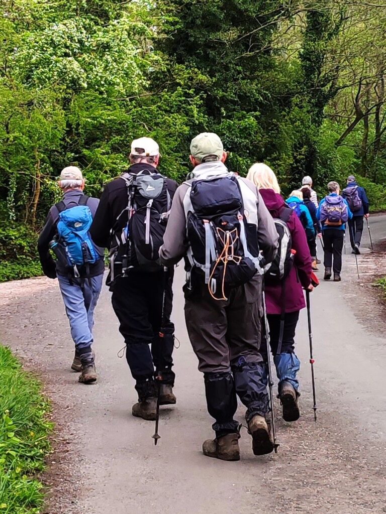
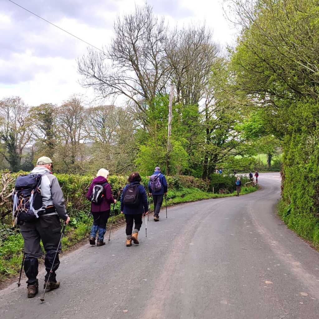
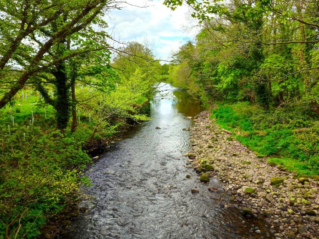
For this walk we head southwest into Lancashire and park at the convenient Scorton Picnic site adjacent to the river Wyre, before we explore the riverside, the adjacent lakes, and the farmland in the Wyre valley as they come back to life as spring takes hold.
This is a walk without a great deal of change in elevation, and is quite short, so we class it as easy. However, it may be worth considering that in common with most riverside and valley bottom walks, how easy it feels may well change with the weather – heavy rain makes the paths muddy and slippery so if you are picking this walk for ease of use, make sure you pick a suitable day.
- Total distance 12.5 km (6.2 miles)
- Total ascent 100 m
- Easy walk
Step-by-Step

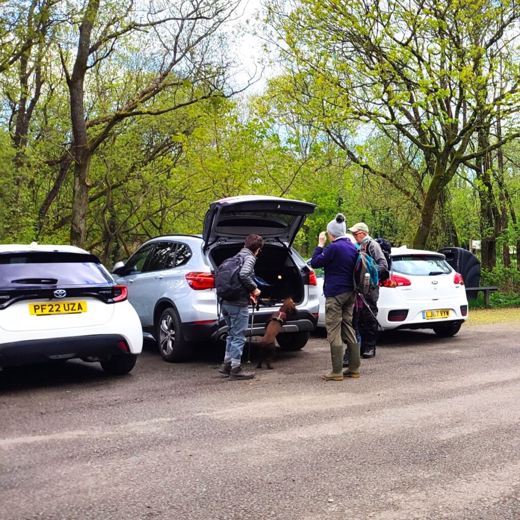
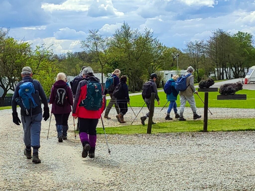
We start at the Scorton picnic site, where there is ample parking – all free of charge. The car park belongs to Lancashire County Council and is part of a network of countryside resources managed by the Council with the intention of improving access and encouraging visitors to this wonderful area. So, in addition to this site there are others that you may well wish to explore – click here to to find out more.
The car park is located on a quiet lane just a few minutes from the A6 – the postal address for satnav users is Cleveley Bank Lane, Scorton PR3 1BY. The OS grid reference is curious in that coincidentally the eastings and northings are identical at SD50415041. If your navigation device uses What-3-Words, then the tag is breached.pheasants.intersect.
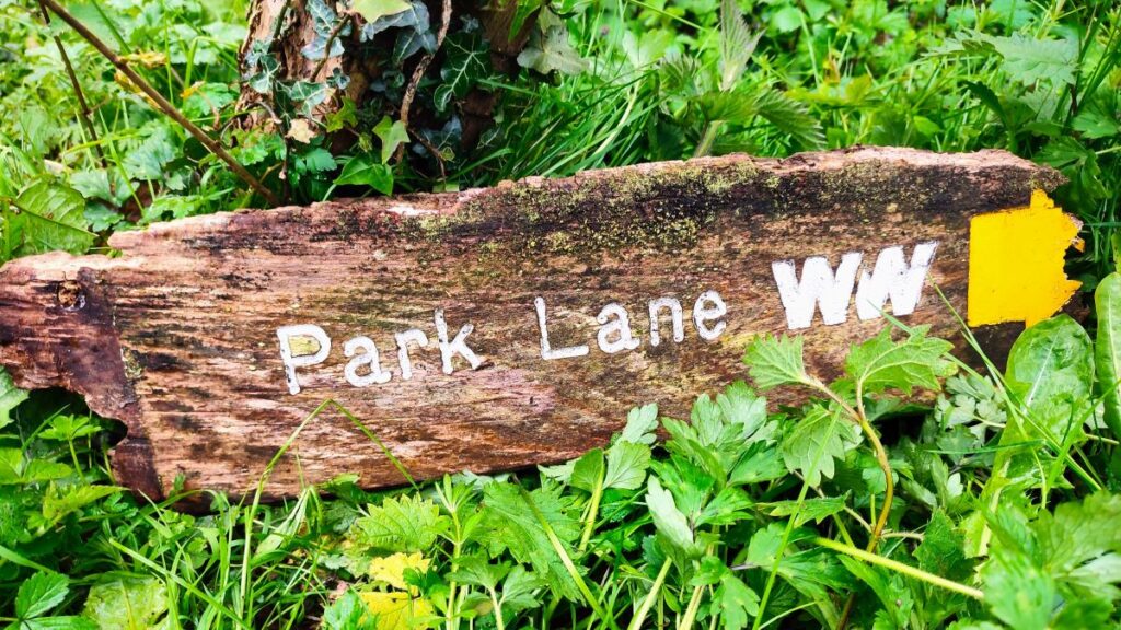
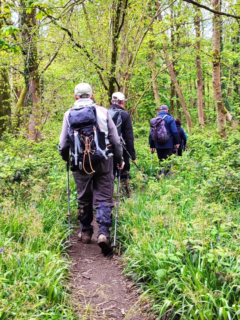
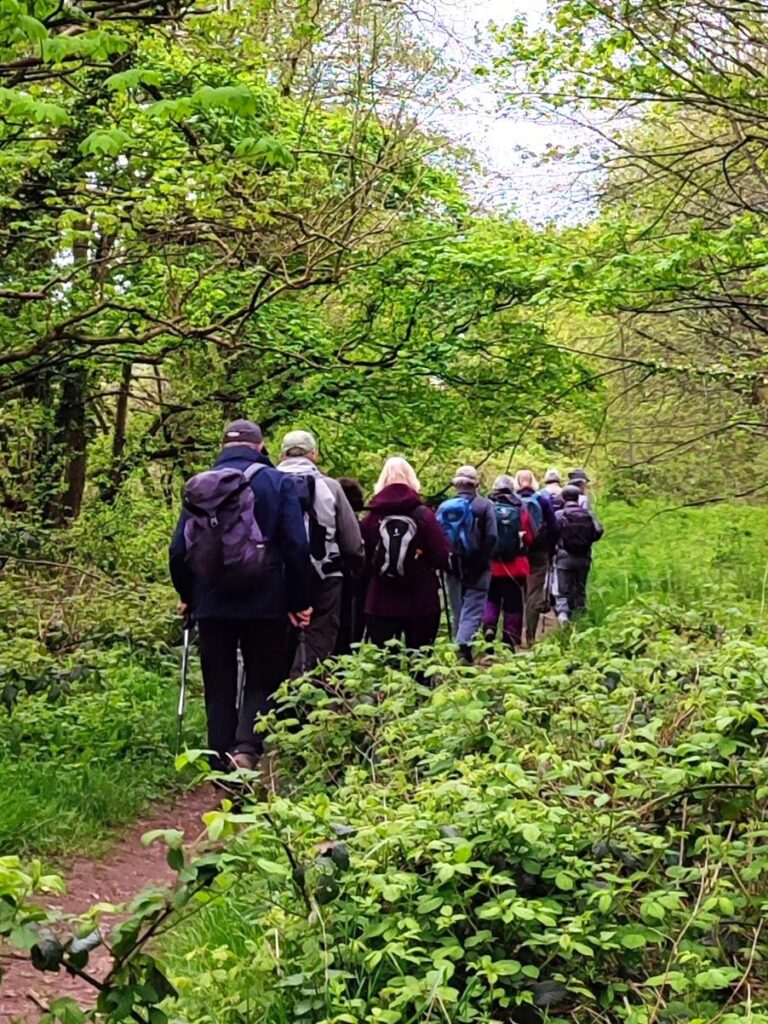
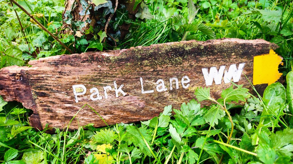
From the car park we head back to the entrance on Cleveley Bank Lane and turn right in the direction of the A6, looking for a footpath on the left no more than 50m ahead – we do not need to cross the Wyre for the start of the walk – although the eagle eyed amongst you will note from our GPX recording that we did in order to explore area a little before coming back to the outbound path. The path we are taking is signed as Park Lane (Wyre Way), although at the time of our visit, the signage needed some maintenance.
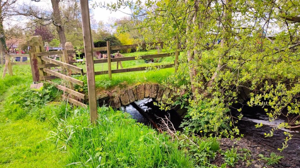
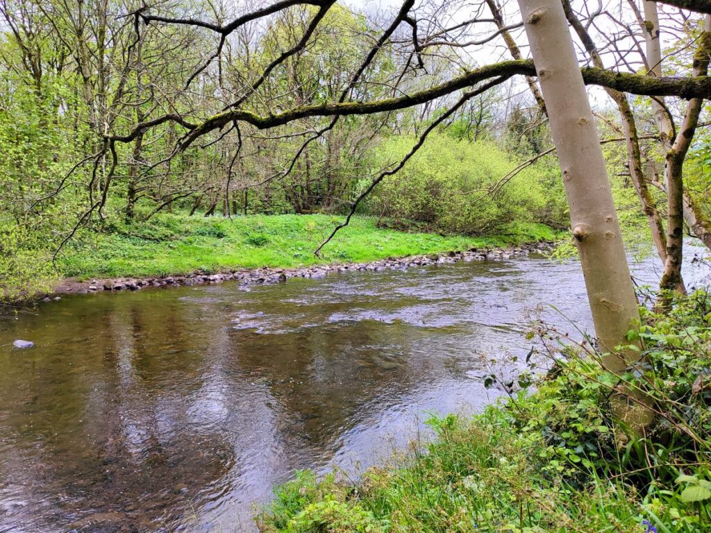
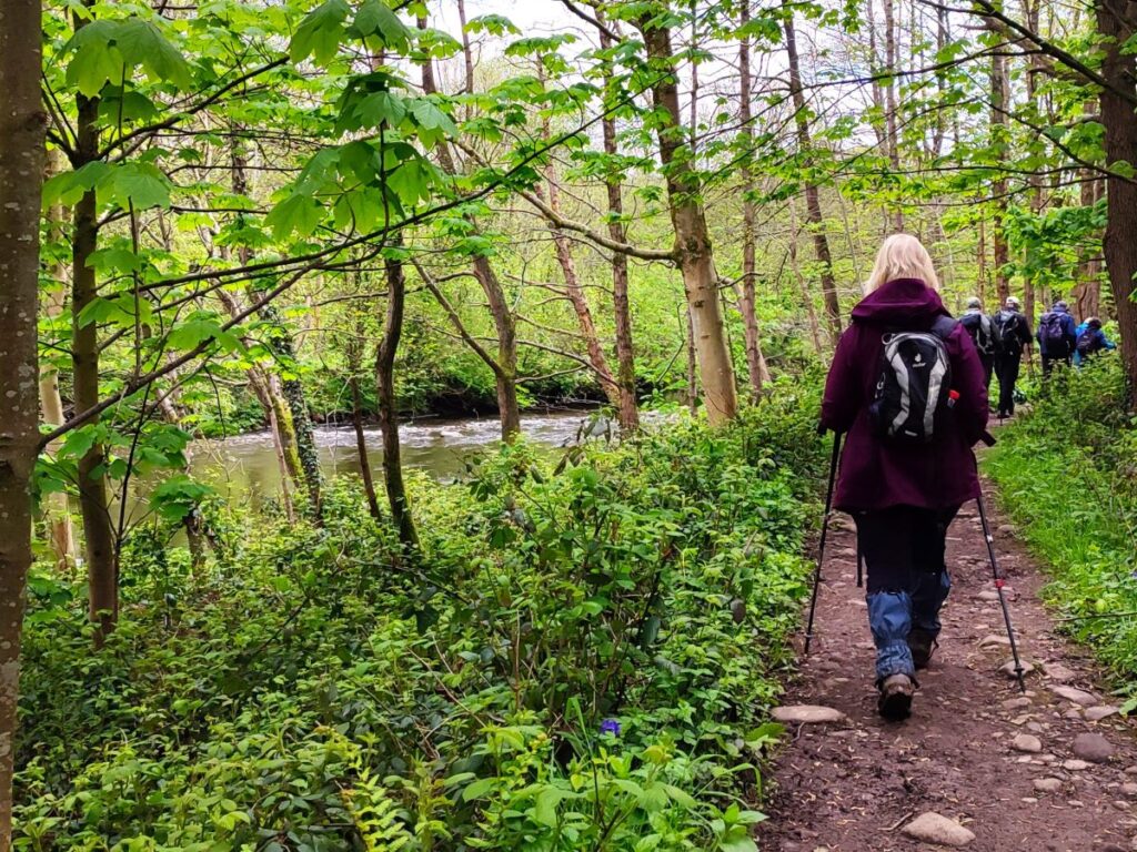
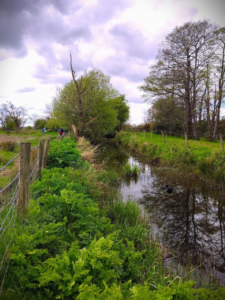
For the next 150m or so the path is down a track at the side of the River Wyre – although the river is somewhat hidden from view so if this does not immediately feel like a riverside walk, don’t worry. Our next landmark is a stile on the left taking the path away from the lane, and further from the river, onto a smaller path along the edge of a field heading toward Scorton. 400m later we cross a pretty bridge made up of two low brick arches and continue south following Park Brook for a while until the path turns slightly left and meets a minor road, where we go left.
It is worth noting that if we were to turn right here, we could stroll down into Scorton – as an out and back addition that would add no more than 1 mile to the walk. The name of the village means “the farmstead near a ditch or ravine” and was largely developed around the cotton mill and railway in the nineteenth century, although there are records of the village and catholic church in “Scurton”, or Scorton, going back to the seventeenth century. It even had its own railway station on what is now the West Coast Main Line from 1840 until 1939.
The village today is a vibrant and thriving community – they have an excellent website which is well worth visiting: click here to see
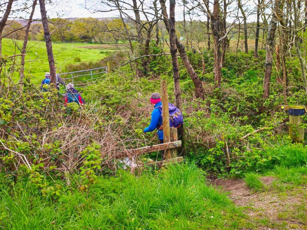
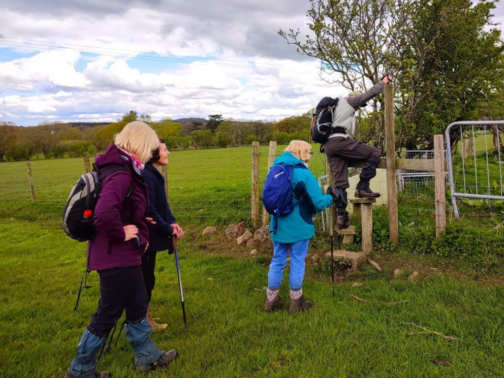
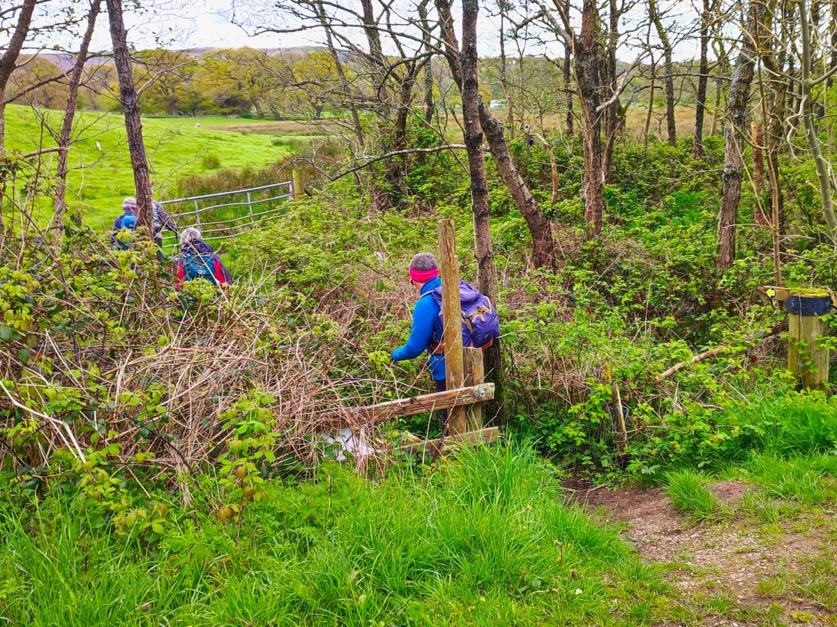
Back on our walk, having turned left at the road we head uphill slightly toward the roar of the M6 – just 150 ahead. We cross over the motorway, and soon leave the noise behind as we walk north west along the road with Park Wood on our right. After 200m or so the road starts to bear left, and as we follow it round, we need to look for a stile embedded in the hedge to the right – this takes us into open farmland. The stile is easy to miss – if you are still on the road and pass buildings on your right, you have gone just a little too far.
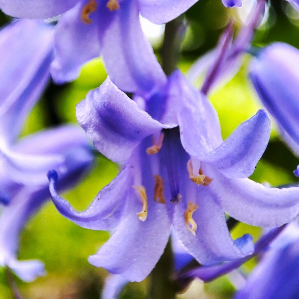
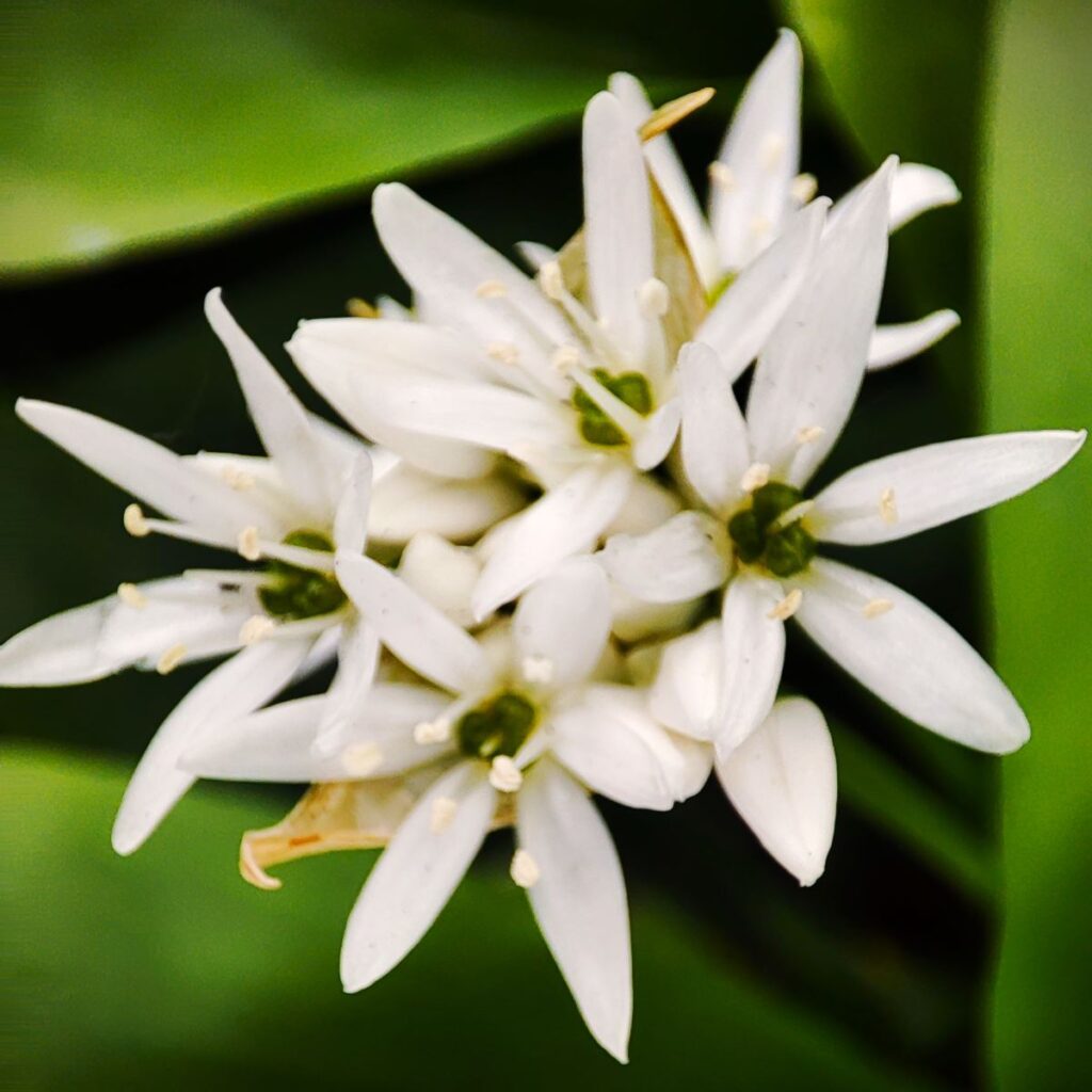
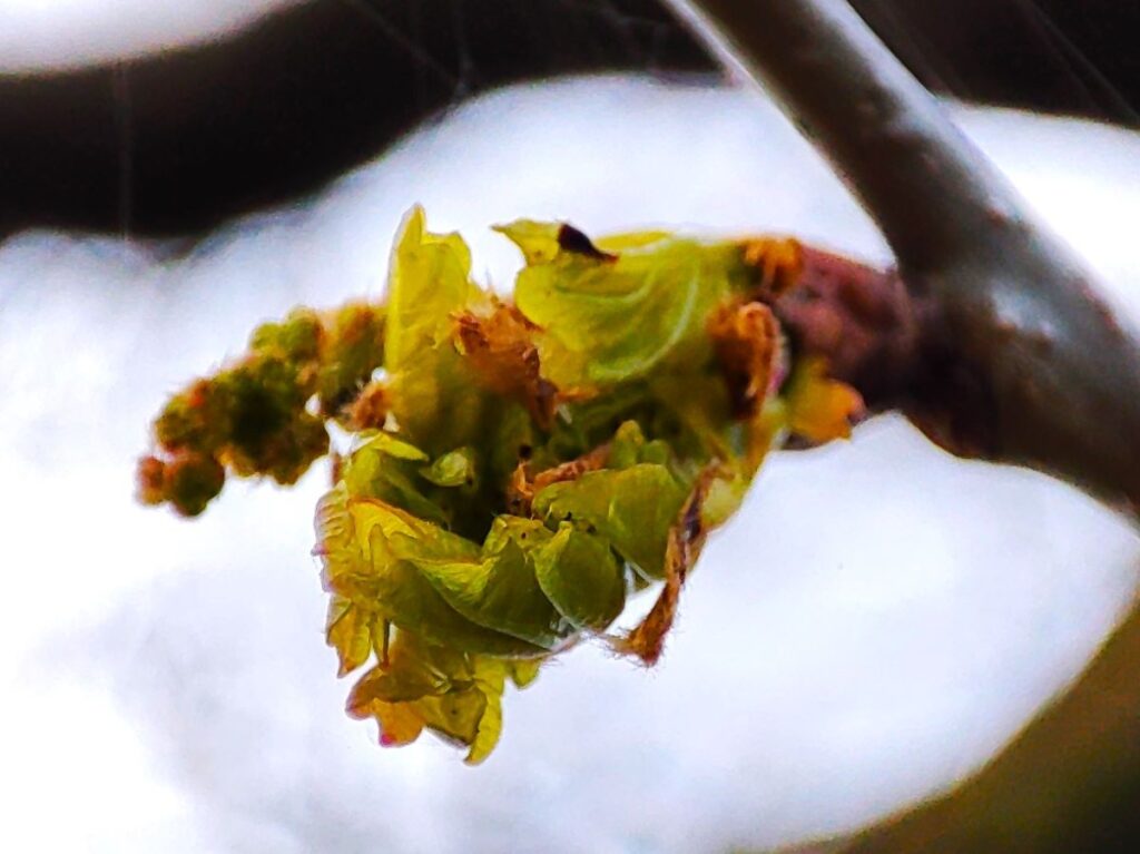
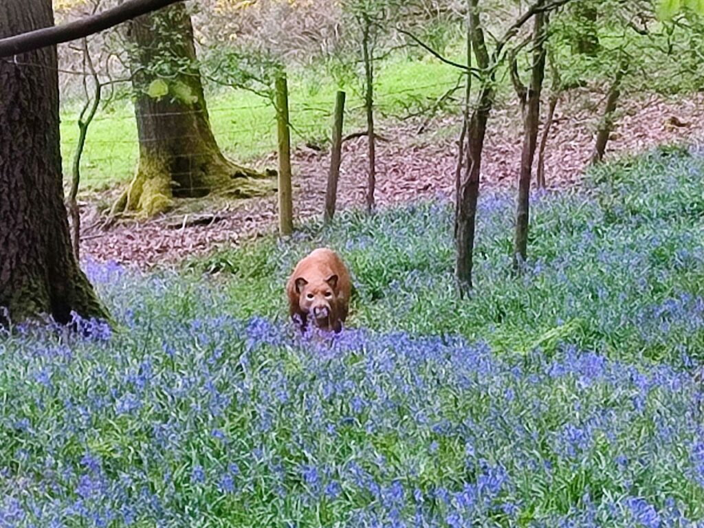
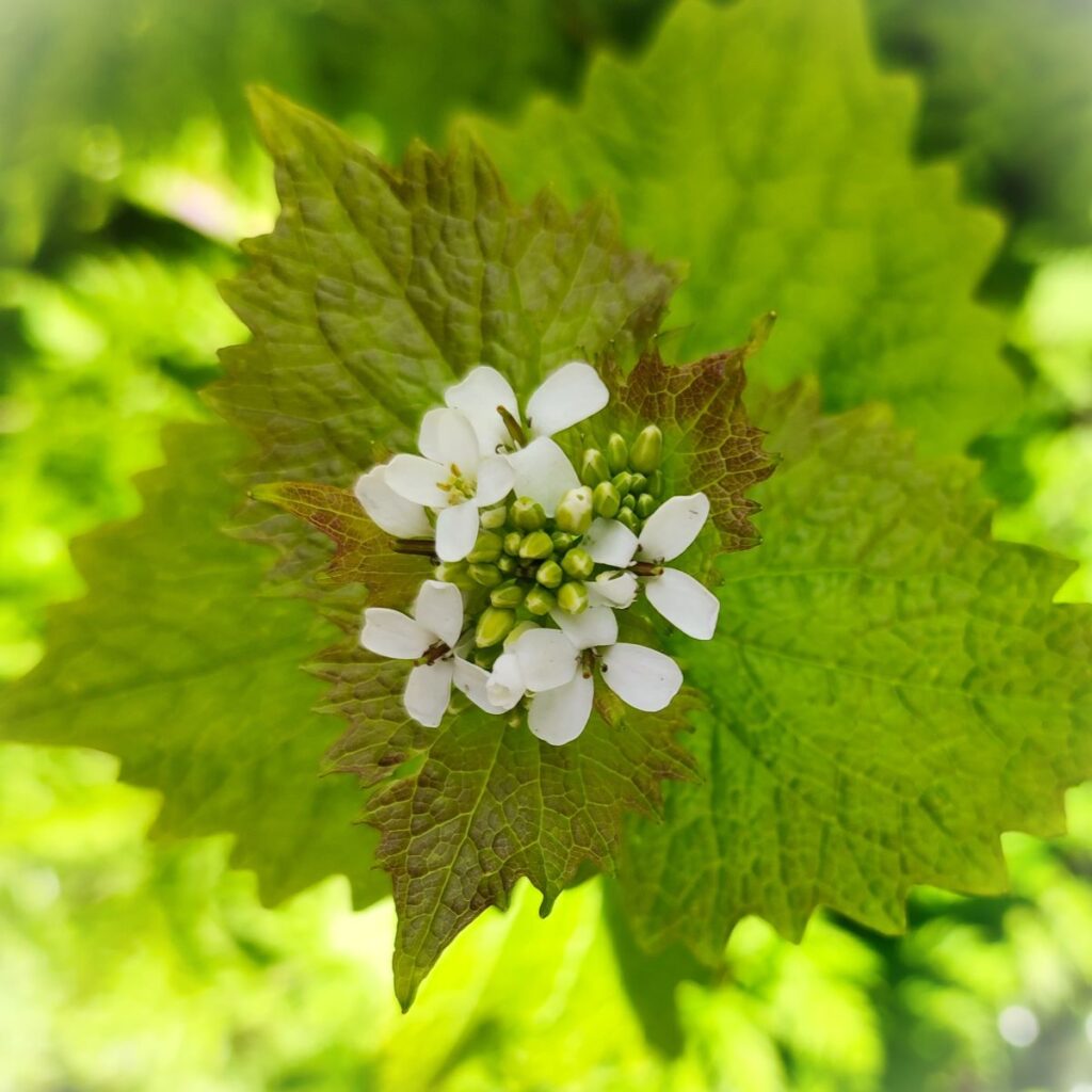
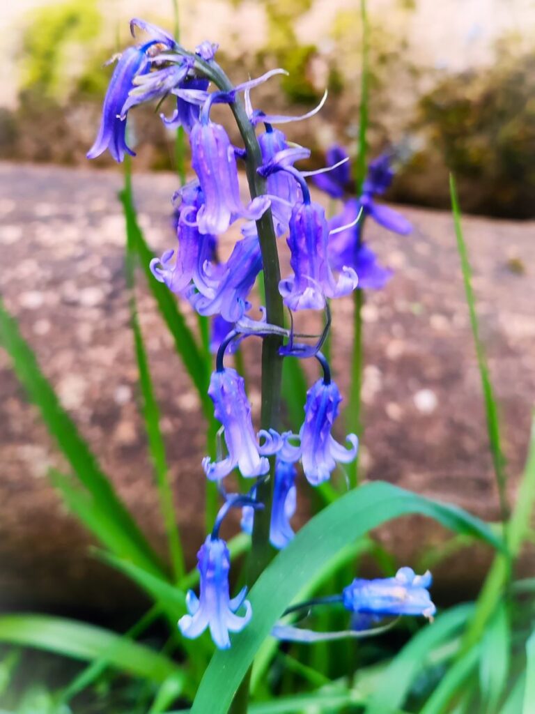
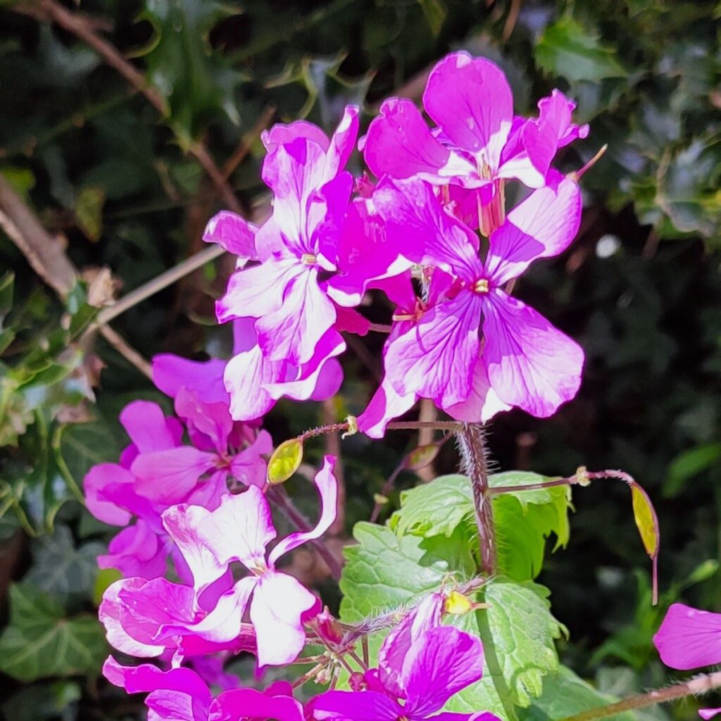
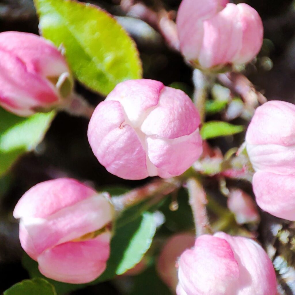
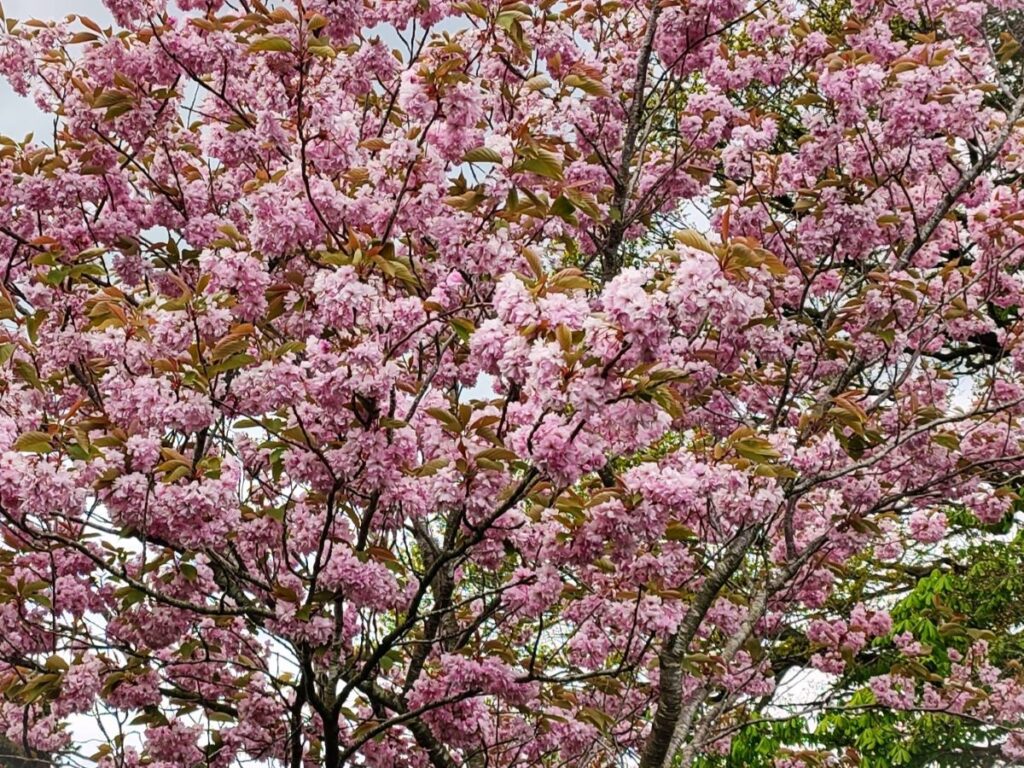
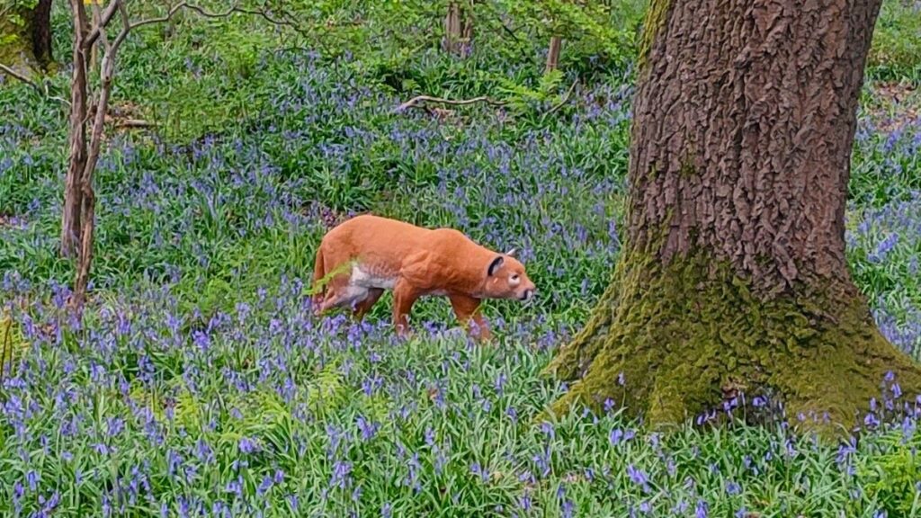
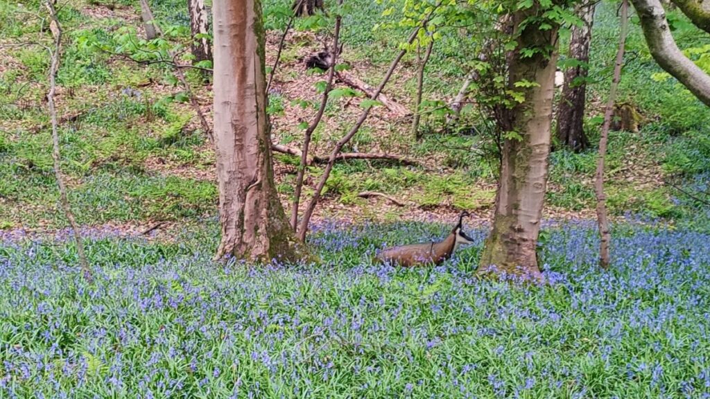
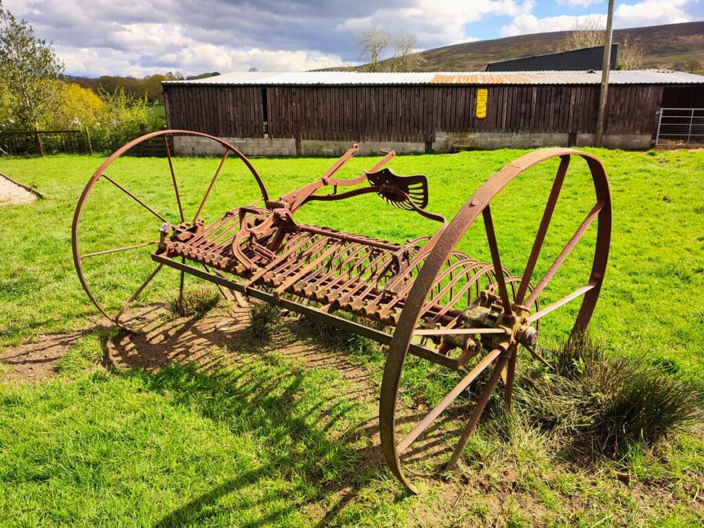
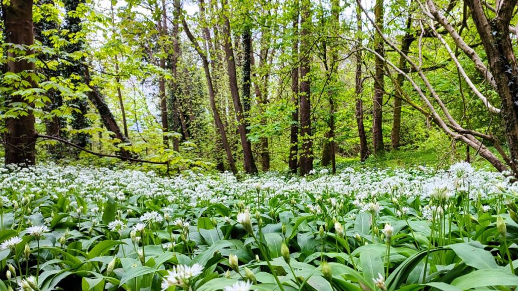
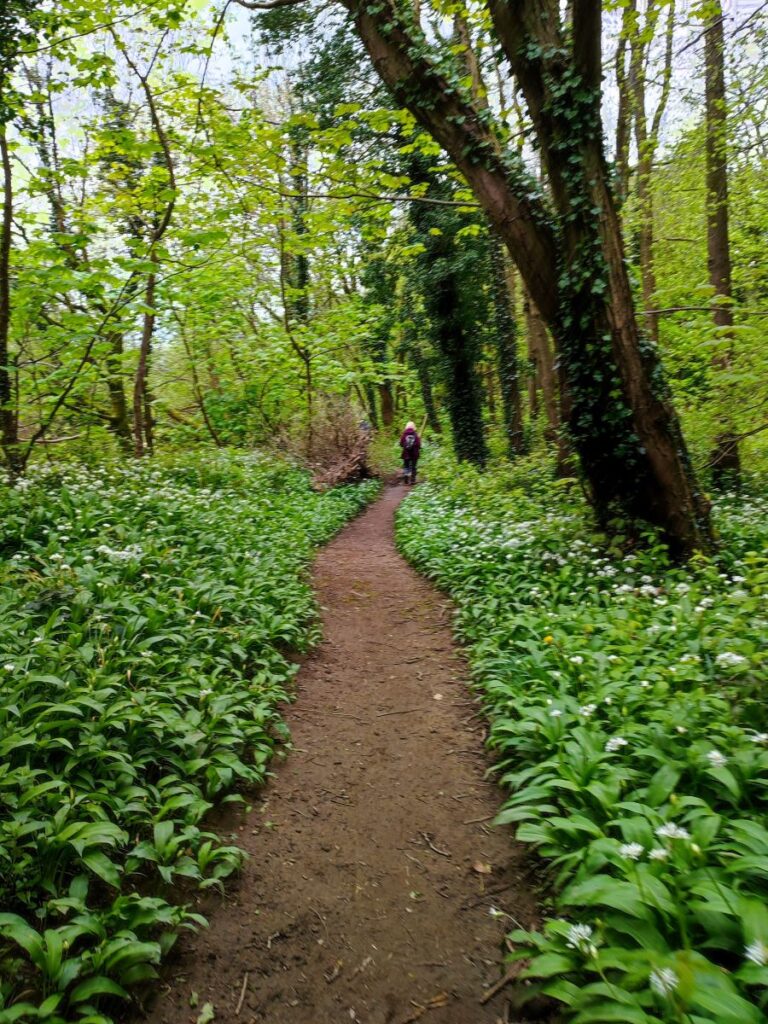
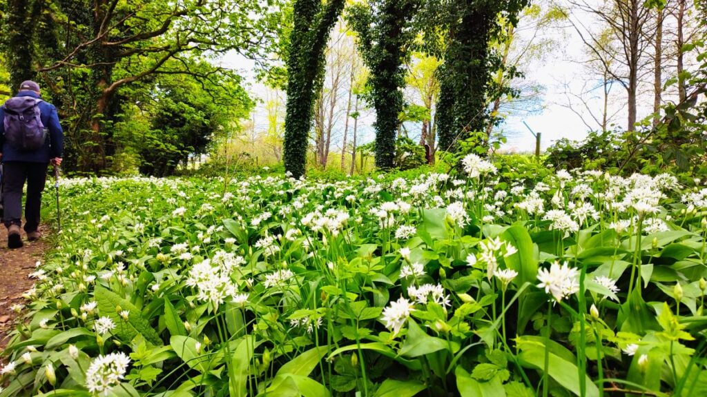
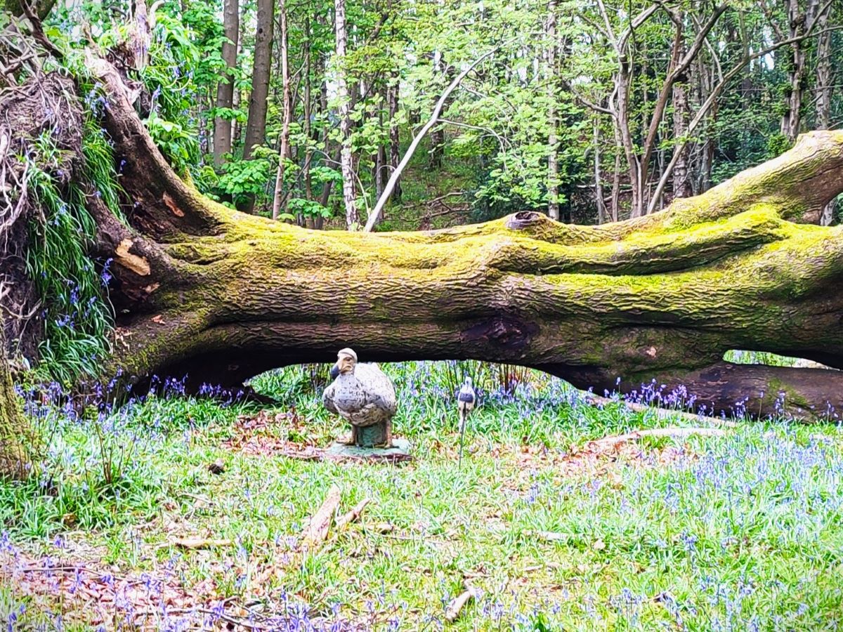
Our path now heads northwest through fields with woodland to our right. At the time of our walk, the bluebells were in full bloom in the woods, with wild garlic not far behind. As we walked further along the edge of the woods, we spotted first a dodo, then a cougar, and finally the deer that the cougar was stalking – all statues of course. We assume that they are part of trail within the grounds of Wyresdale Park, although we could find no mention of it on their website. If we were wrong about this, and you know more about the sculptures, then more please contact us, so we can add more detail.
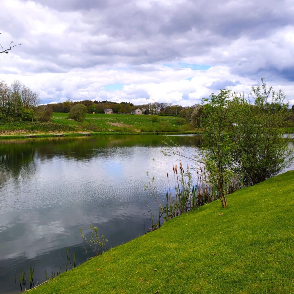
Wyresdale Park was built in 1856–58, for the Ormrod family of Bolton and was designed by Bentham Footpath Group’s favourite architect – the prolific Paley. It has since been extended and outbuildings have been added. The prominent lake at the heart of the estate is man made and was added to the grounds in 1897.
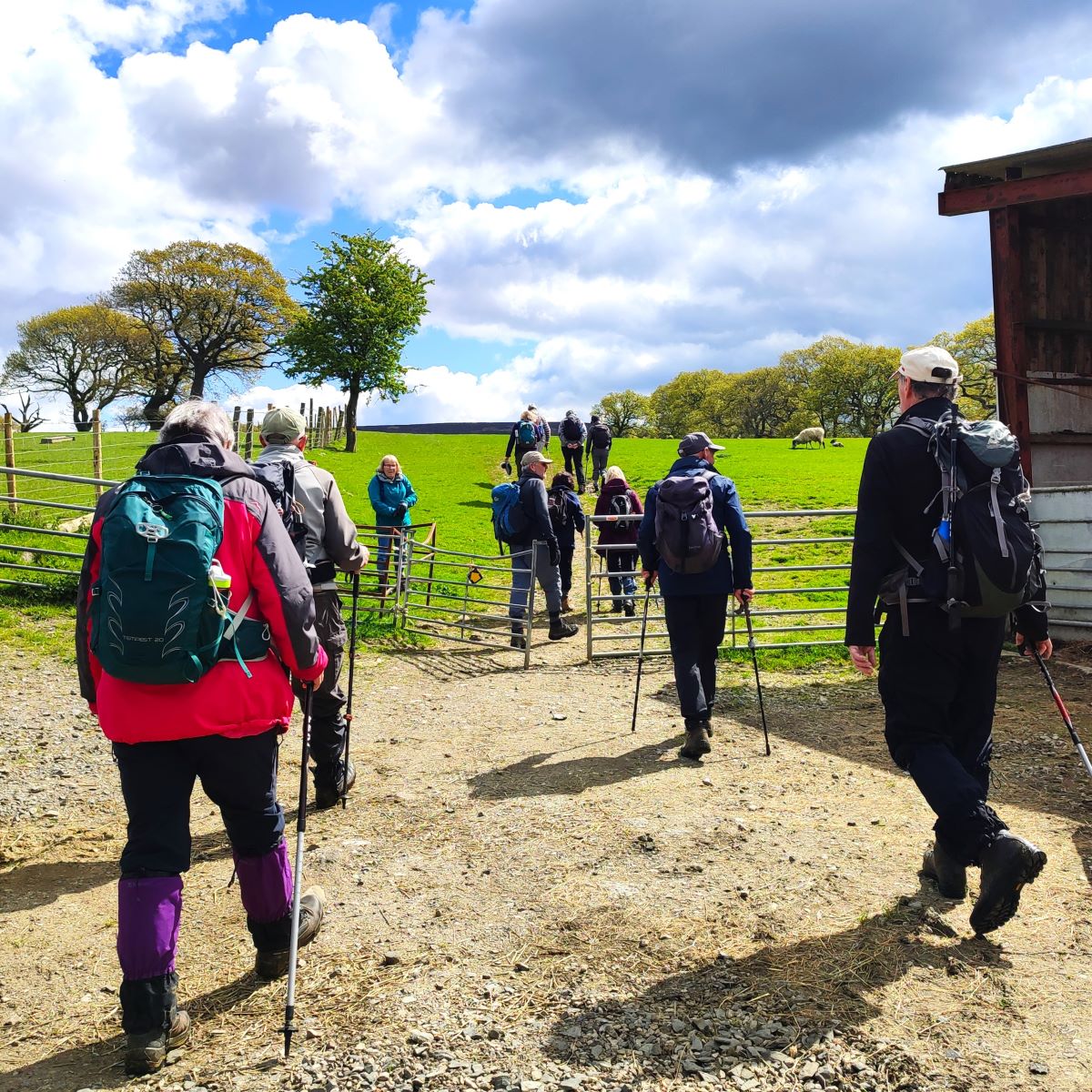
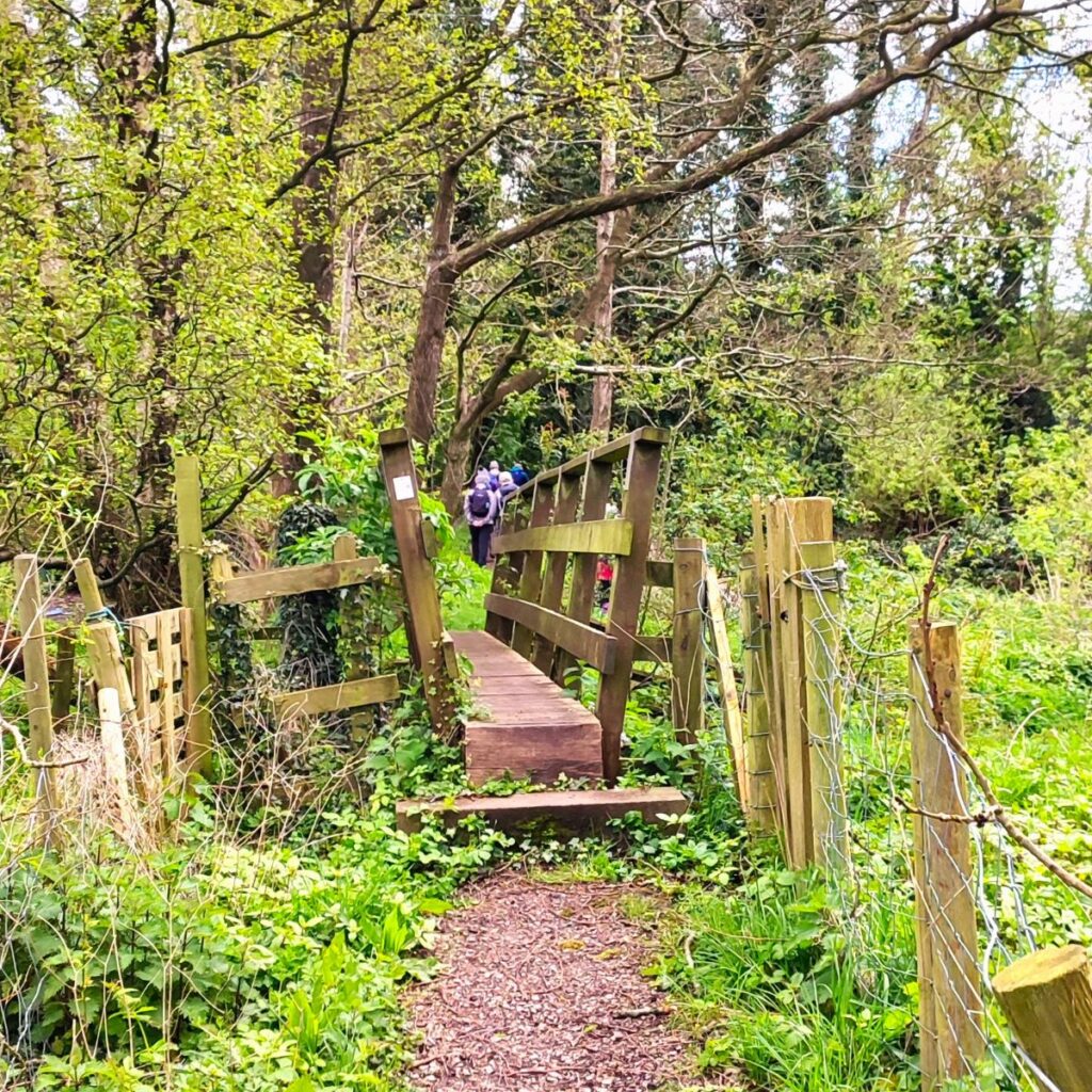
Once we get to the end of the woodland, we cross a small footbridge and then continue northwest through more open countryside, passing a couple of fallen trees that provide a great place to sit and have a break, then 200m or further on we arrive at a minor lane which we access via a stile. The path continues opposite and crosses a field heading toward the farm at Cliftons. The right of way then heads right, going through the farmyard and then exiting via a gate to head uphill so that we have great views over to Forton and Morecambe Bay. There is clear signage of the route through the farm.
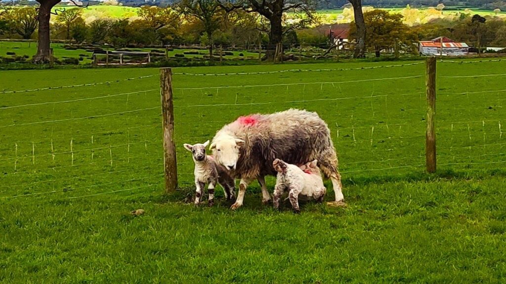
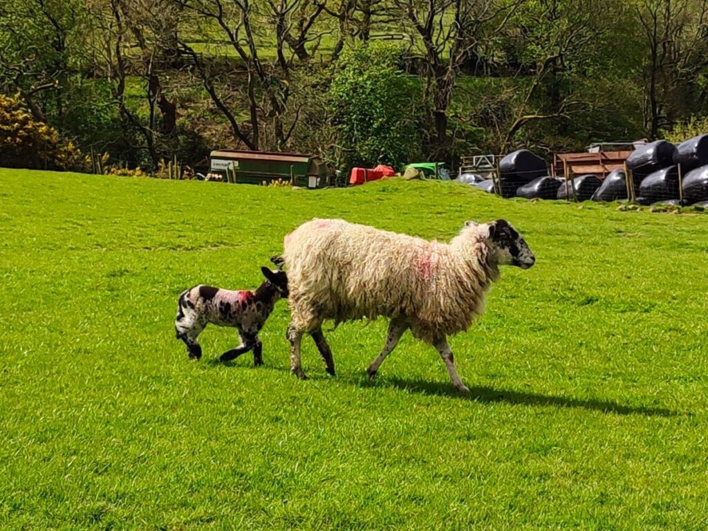
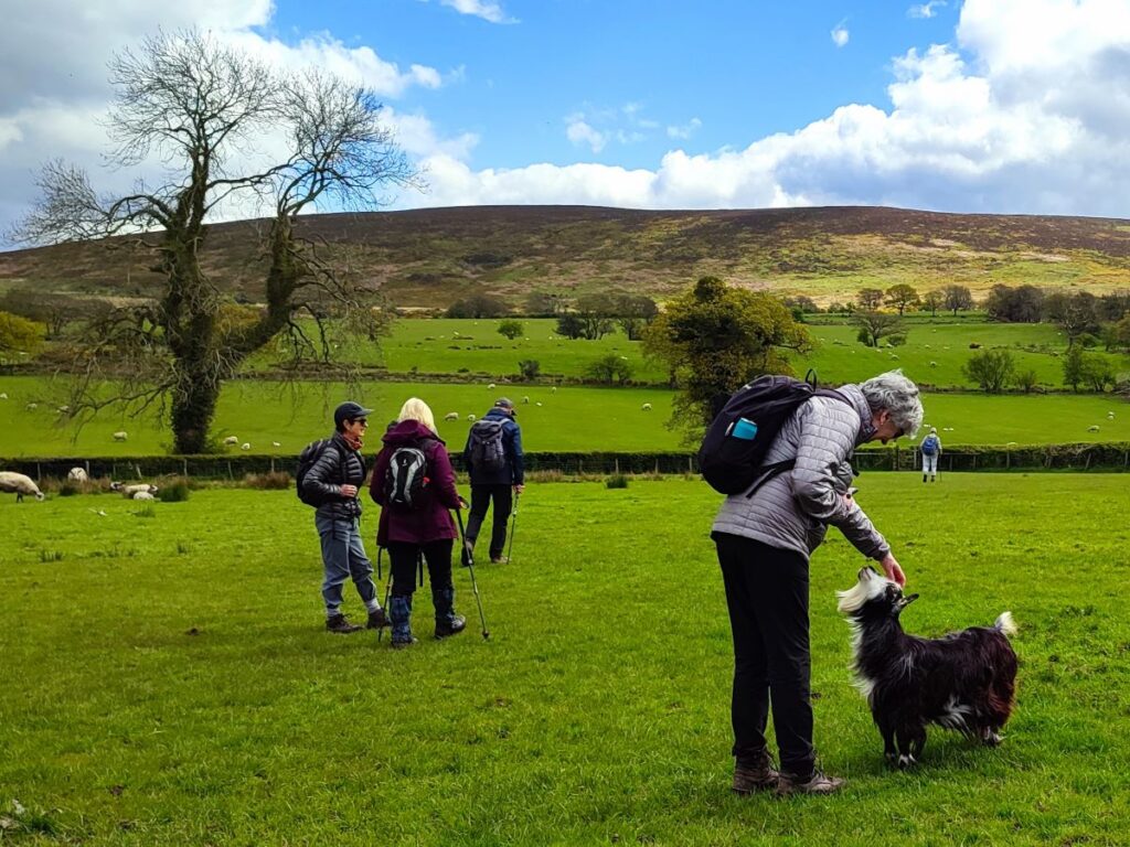
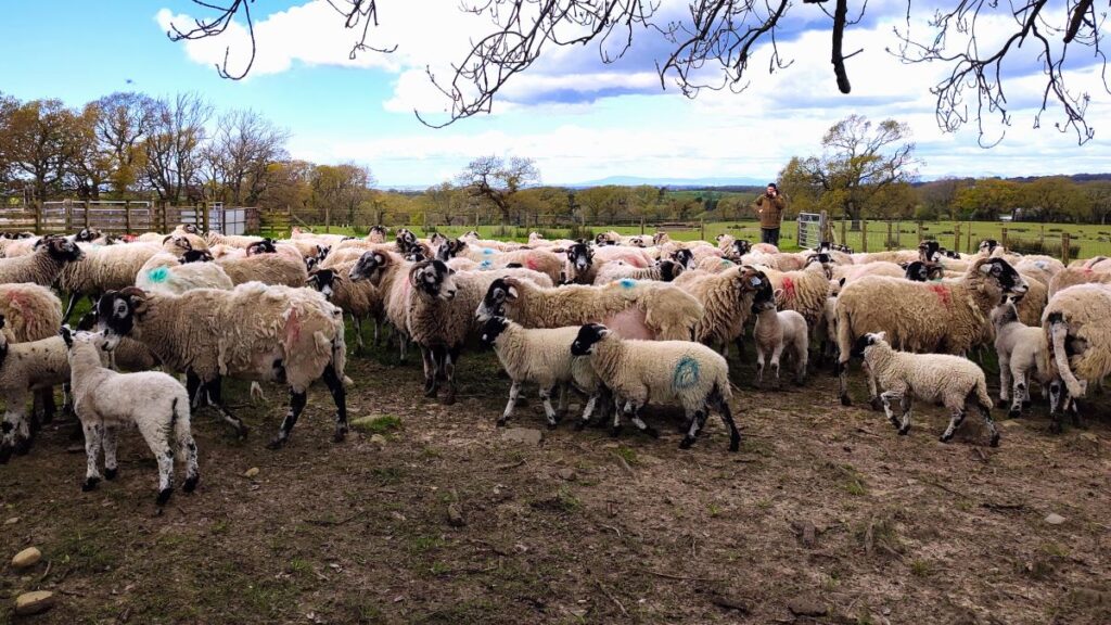
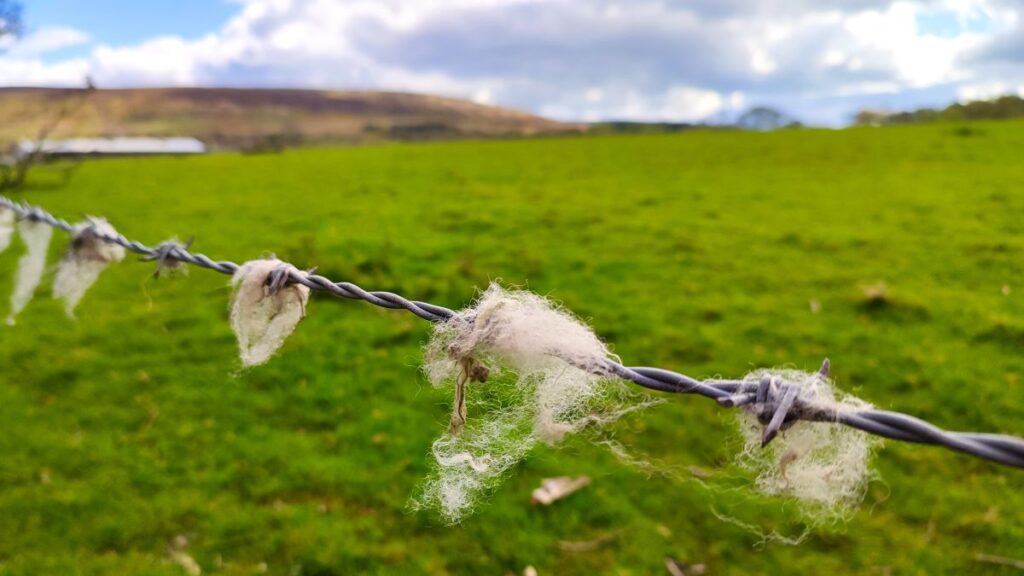
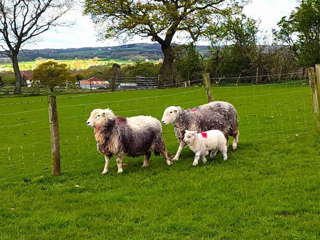
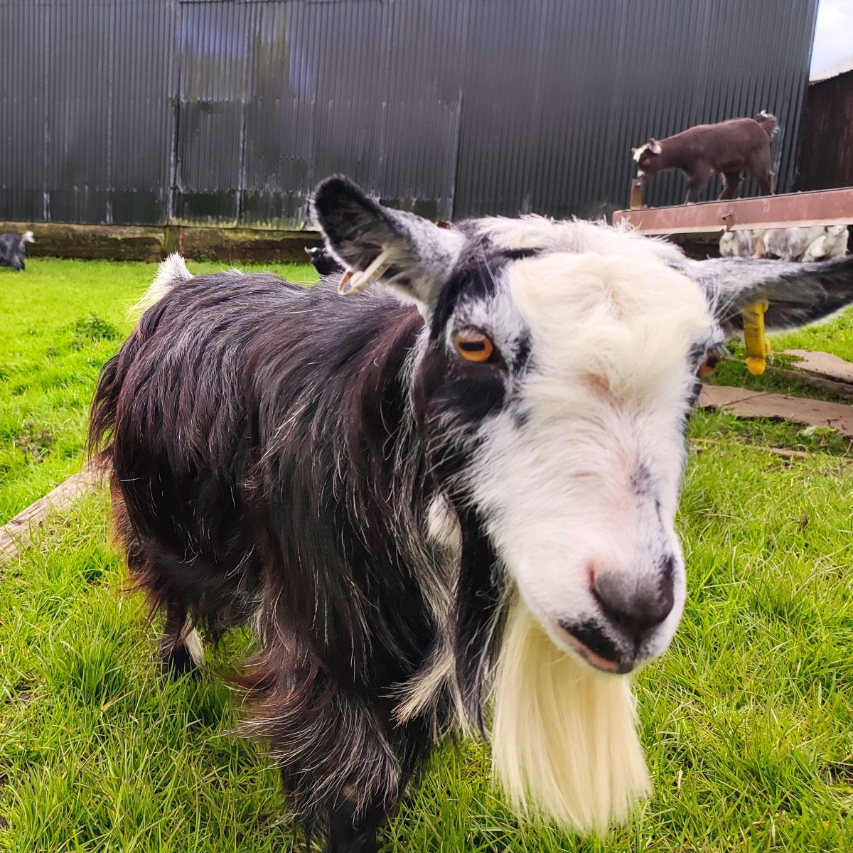
At the top of the gentle rise here we are just 90m above sea level, and at the highest point of our walk. Despite the modest elevation, if we turn back and look toward the coast, we can now see over the low-lying Wyre valley with the nuclear power station at Heysham, the iconic tower at Forton Services and the Lakeland fells all clearly visible. Ahead of us now is Sykes farm where we were greeted by a curious and very tame herd of goats before exiting onto a minor road, where we turn left. As we do so, it is worth pausing for a moment to enjoy the view of Harrisend Fell ahead of us.
We stay on this very quiet road for just 200m, before the path leaves on the right to continue heading northwest. This path from the road can be a little difficult to spot, so if you note two large sheep pens on the right of the road you just missed it, and need to retrace. If however you miss the path entirely and end up at a T junction in the road, don’t worry just head right – we are back on this road soon.
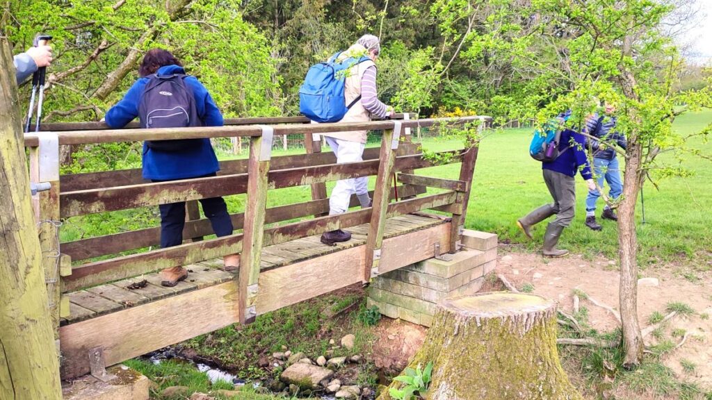
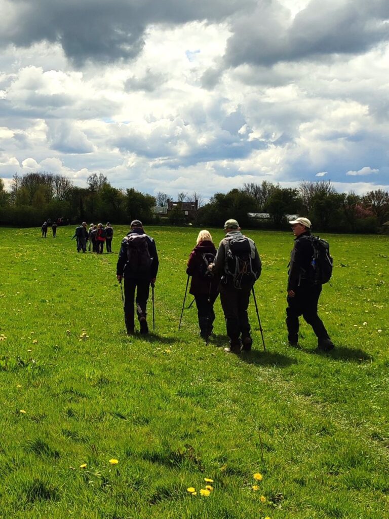
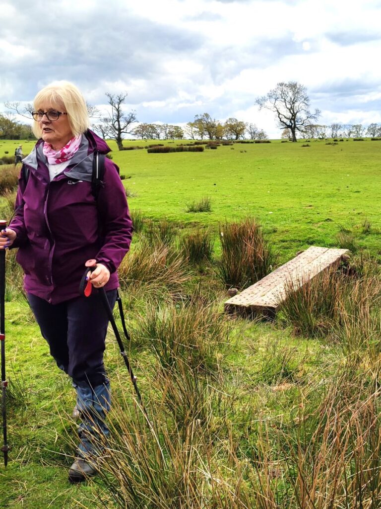
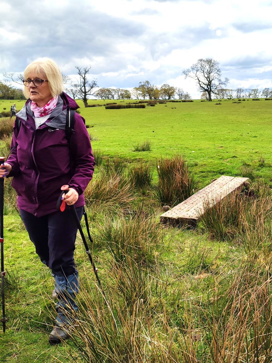
We are now in a large open field. We are initially heading northwest, although the path comes round to the North. In essence we need to head for the prominent dead tree that sits in the corner of the field opposite to our entry point. This is where we cross a simple plank bridge.
From here we head slightly left and cross another bridge – which according to the OS map is the rather grandly named Lordshouse Bridge, in reality this is also a simple wooden plank bridge although it boasts a step or two and a handrail. We then head up to a minor road which we access via a stile. This is Long Lane and if you missed the path earlier, this is where you rejoin us.
We cross and take a second stile to continue in a north-westerly direction heading for a cluster of buildings at Salisbury Farm just 200m ahead. Here we meet a junction in the paths – there is an option to the left which we could take through woodland eventually arriving at Street Bridge, but today we take a more direct route heading right toward a house with stabling and equestrian exercise facilities where we again meet a minor road. It is worth noting here that the path on the ground – which is clear at all times – differs a little from the marking on the OS Map, so we approached the house and walked around the front rather than coming across the back. In doing so, we met the people living there who greeted us in a friendly manner, so we assume this is the “expected” route.

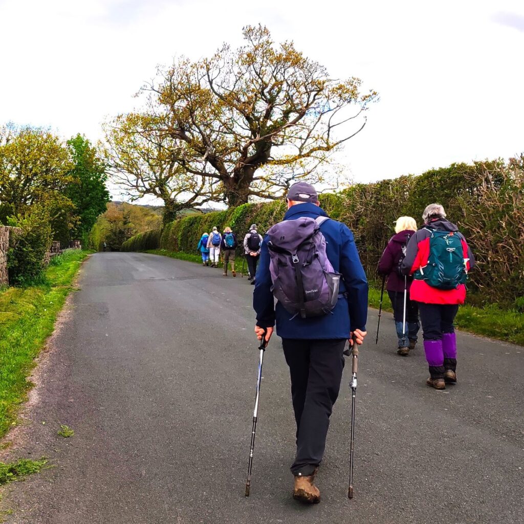
At the road, we turn left, walking on the road for 300m until we arrive at a road junction just beyond a small bridge. We are on Chipping Lane now, and we stay left here ignoring the roads ahead (Wagon Road) and to the right (Trough Road).
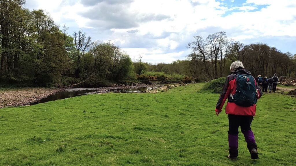
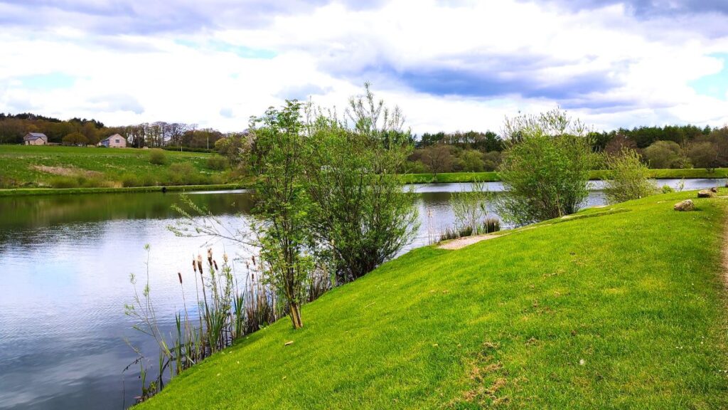
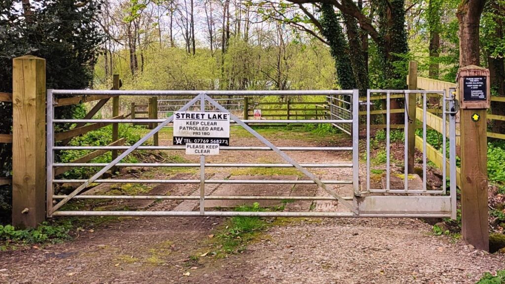
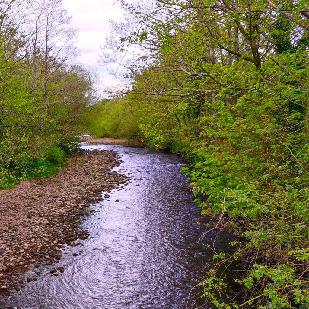
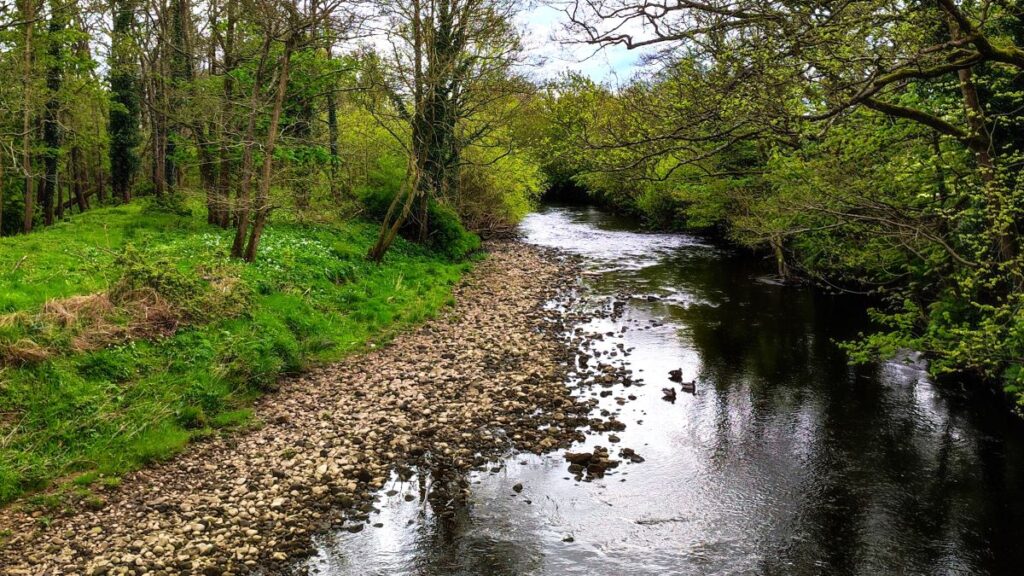
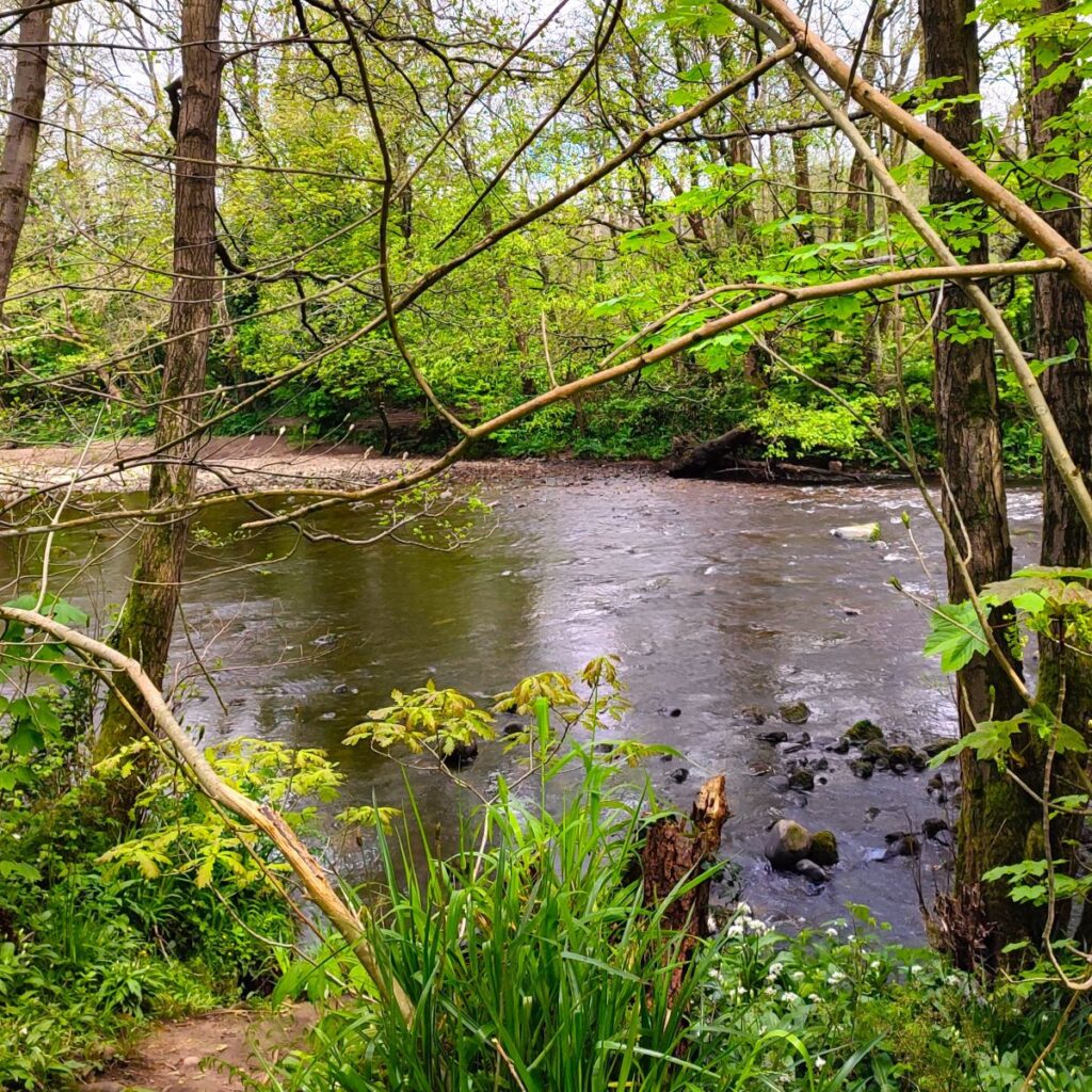
As we continue along Chipping Lane, we notice an enticing footpath sign on the left – not for today – and continue a further 100m to cross the River Wyre. This is Street Bridge. Above the keystone on the west side is an inscription within a border: ‘JT 1835’. Just beyond the bridge the path comes down to the riverbank on the left hand side and we follow the path as it threads its way between the Wyre (on the left) and a couple of lakes formed from old gravel pits (on the right). We are now back on the Wyre Way. The lakes are used for angling, so access is restricted. There is more than ample signage to advise where you should not go.
The path soon arrives at an access roadway around the lakes site – and we have one of the lakes (Fox’s Lake) directly in front of us at this point. We head left, ignoring the road that follows the lake round to the right and head toward the caravan park ahead.
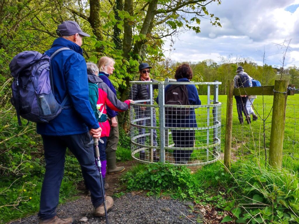
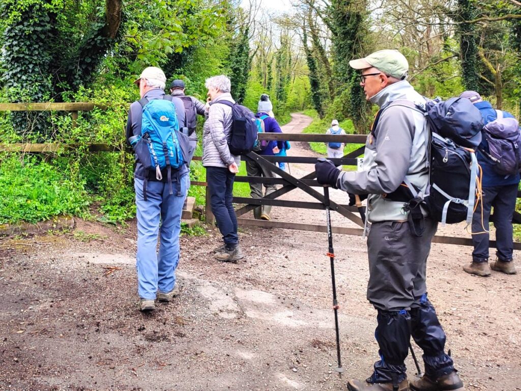
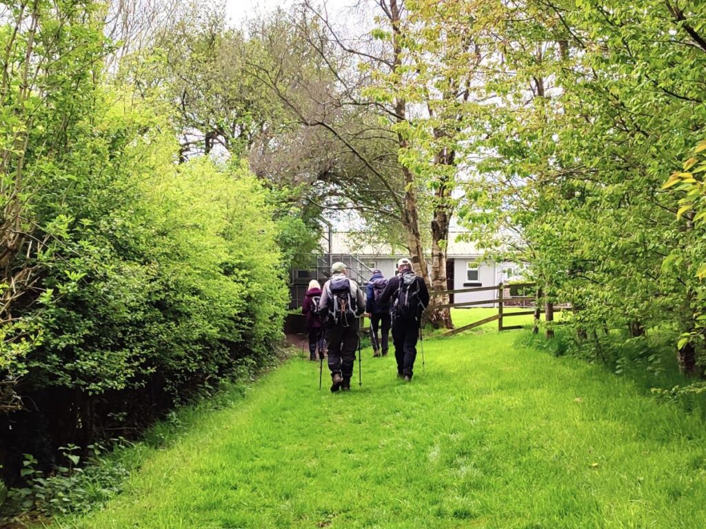
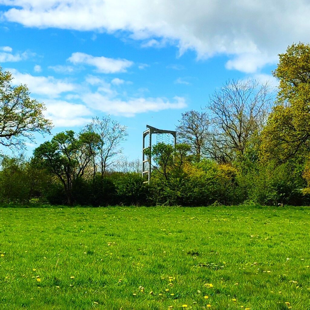
We go through a steel gate and as we enter the caravan site we have some buildings to our right. We head left here and through the manicured site. This is again an area where the route on the ground differs from the one shown on the OS map – although it is clearly signed and soon arrives at a gate into a field behind the caravan park. The path through the field is clear and heads toward a cluster of buildings ahead with an adventure playground partially hidden in trees over to the right. At the buildings the path goes under an extension to the upper story to emerge at an open yard, where it becomes clear that the buildings are all part of Guy’s farm, owned by the Girl Guides.
We head left and back toward the Wyre. We are again following a significantly different route to the one shown on the OS map, but as for each of these diversions, the route is clear, well signed and obviously the one that has been used by many other people. It would seem in this instance that this is an “official” diversion as there are new steel kissing gates and the yellow post tops which appeared on the disused path have been repurposed as makeshift markers on the new riverside route.

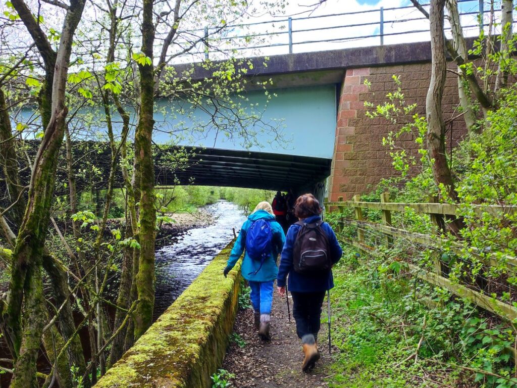
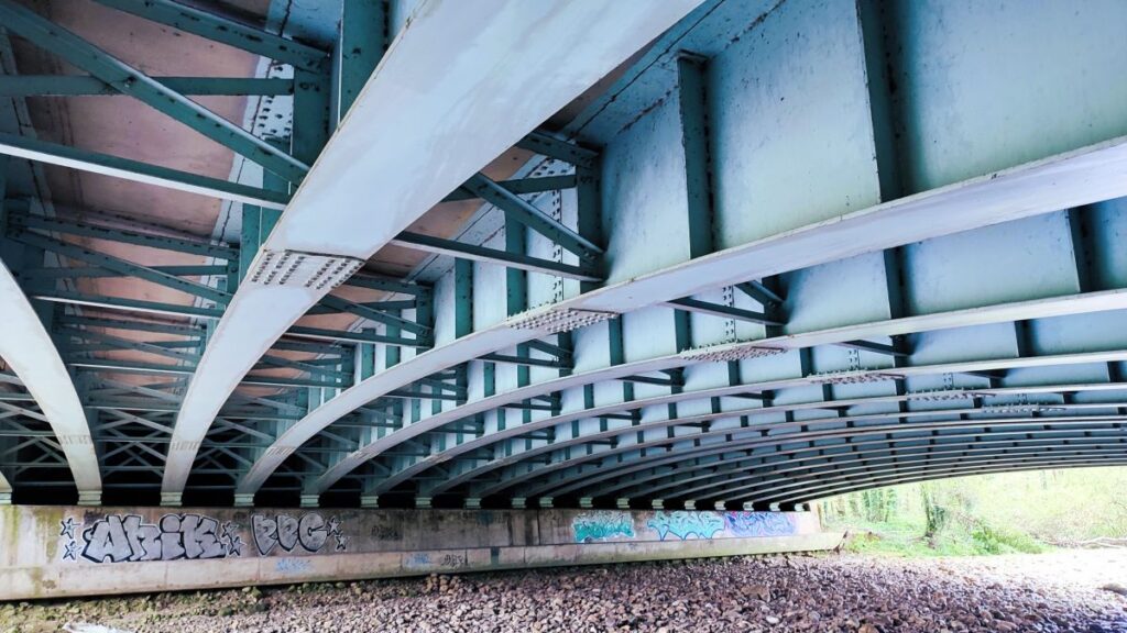
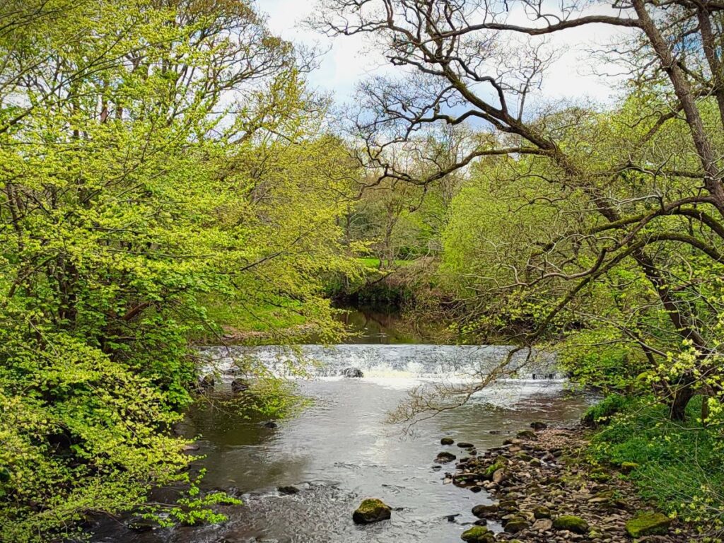
We soon meet the Wyre again and follow it downstream. Ahead we see the M6, and find a footpath at the edge of the river as it passes under the motorway.
The path now follows the river for the next 600m, passing further fisheries and leisure lakes which were once active gravel pits, to eventually arrive at a road.
This is Cleveley Bank Lane, and we are now almost back at the start – all we need to do is head left and take the path into the picnic site where we began our walk.