Jump to . . .Step by Step | OS Map | Downloads | Gallery | Fly through
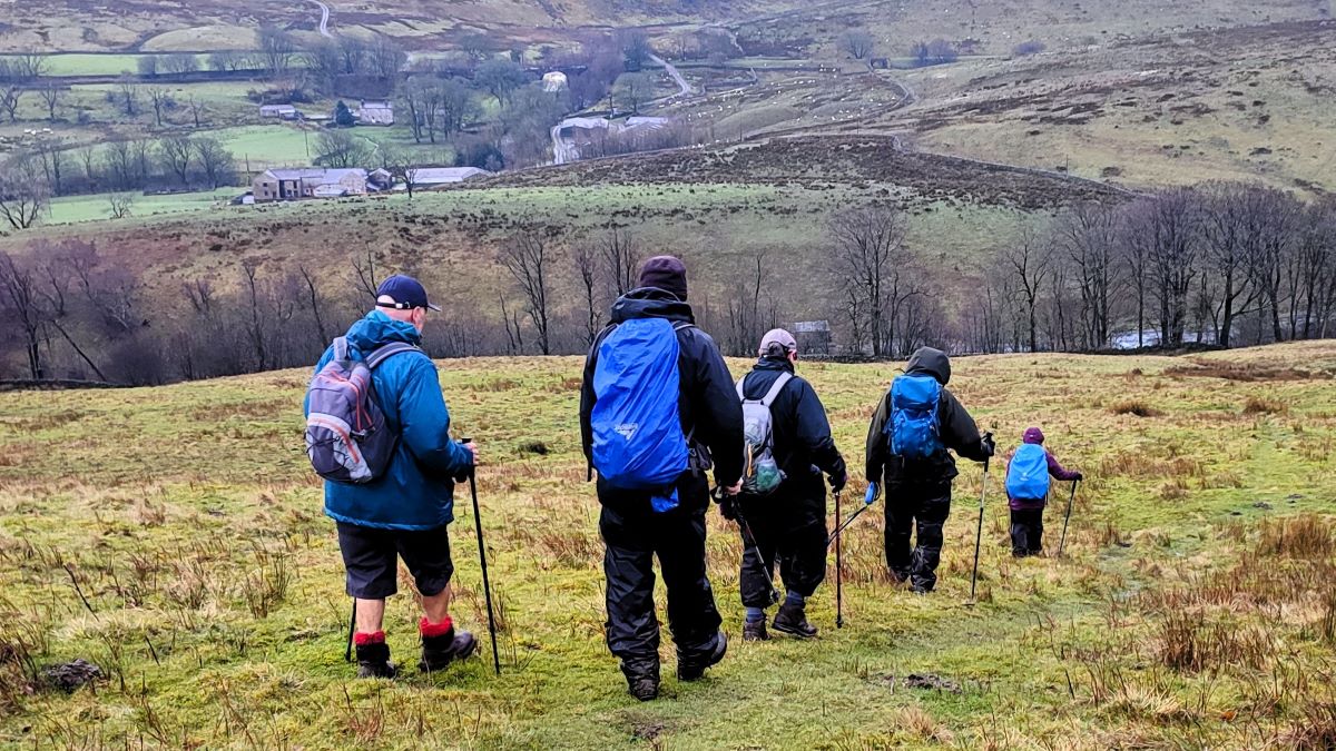
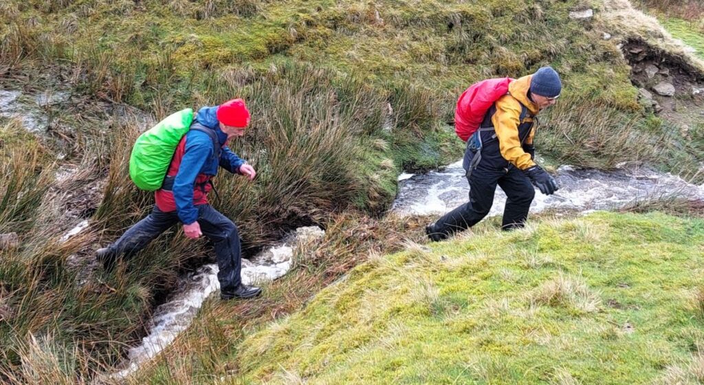
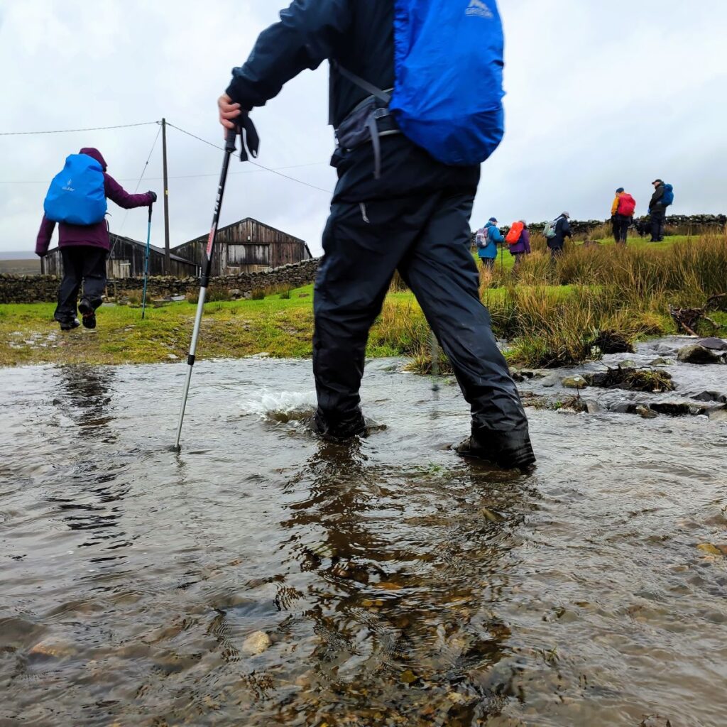
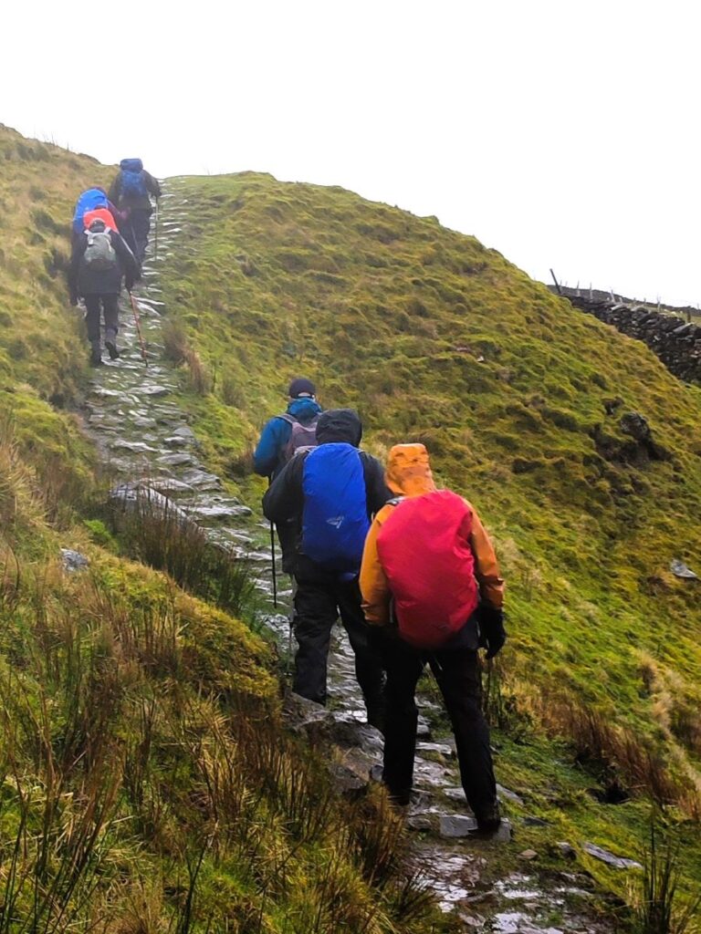
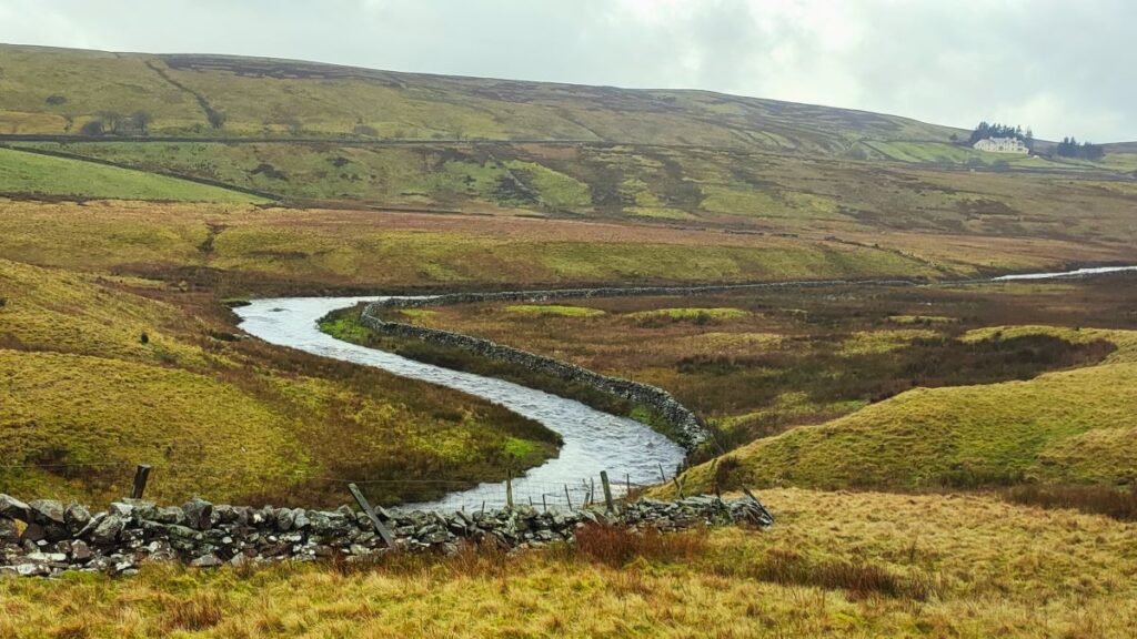
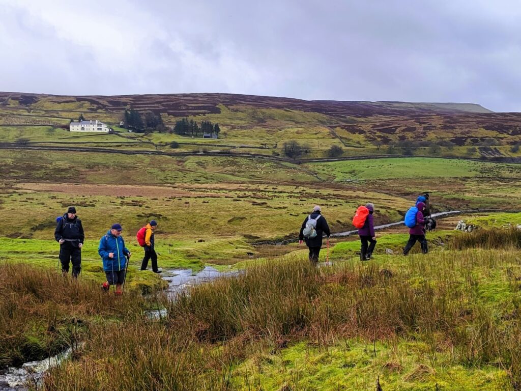
Walking is a somewhat weather-dependant hobby, and this route demonstrates that clearly: When we completed our Grisedale and Garsdale walk in this area in June 2022, we enjoyed bright sunshine, walked over dry fields, and asked ourselves why bridges had been provided to cross mere trickles of streams. Fast forward to the wettest start to year that anyone can remember, and we see why the bridges are there – those same streams are now small rivers in full flow.
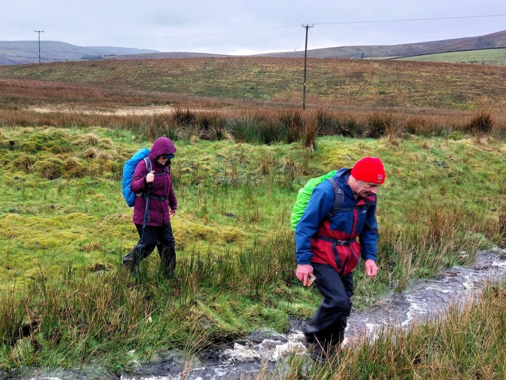
So, does the rain spoil the experience? Not at all, it just gives us a different perspective: Wonderful waterfalls roar into life, mosses and lichens proliferate, and we get extra exercise jumping over streams and fighting to stay upright on muddy descents. Whatever the weather, this walk offers a great deal – we rate it as easy based on the distance and ascent but be aware that there are steep sections and in the event of poor conditions, extra care is needed.
- Total distance 11.5 km (7.1 miles)
- Total ascent 371 m
- Easy walk
Step-by-Step

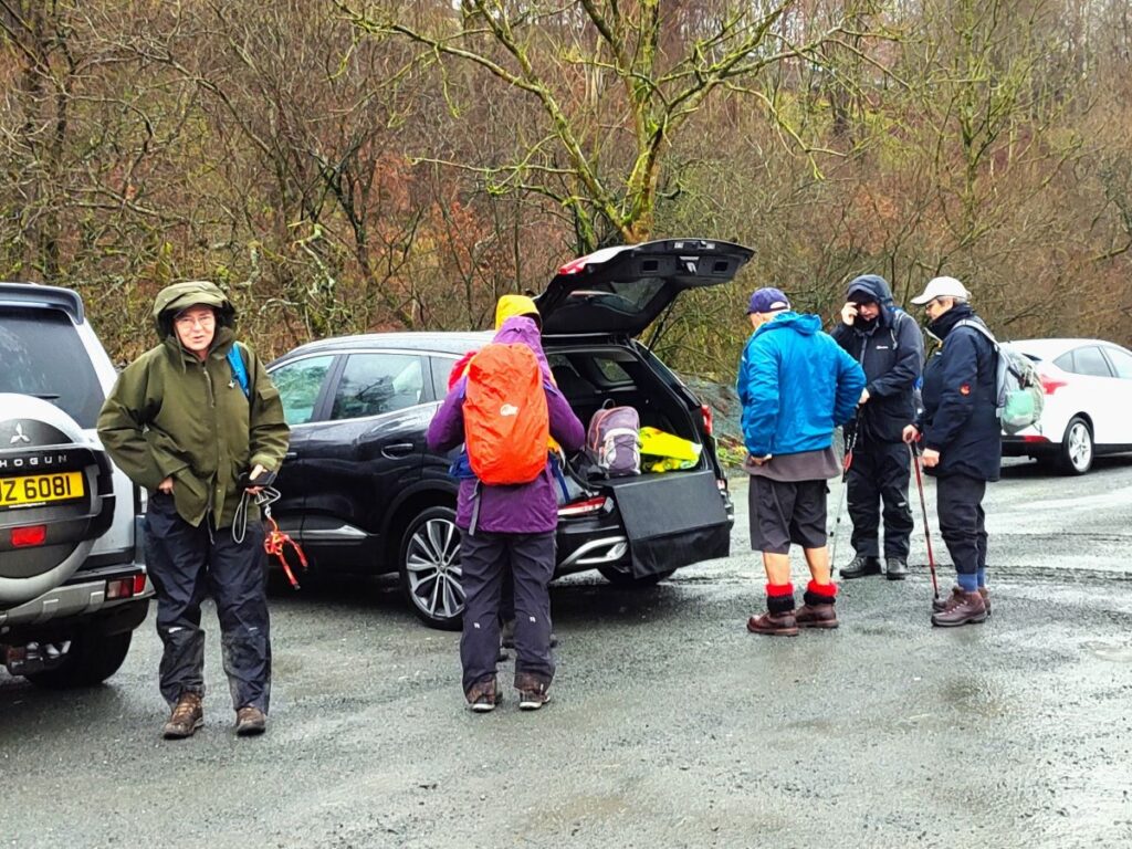
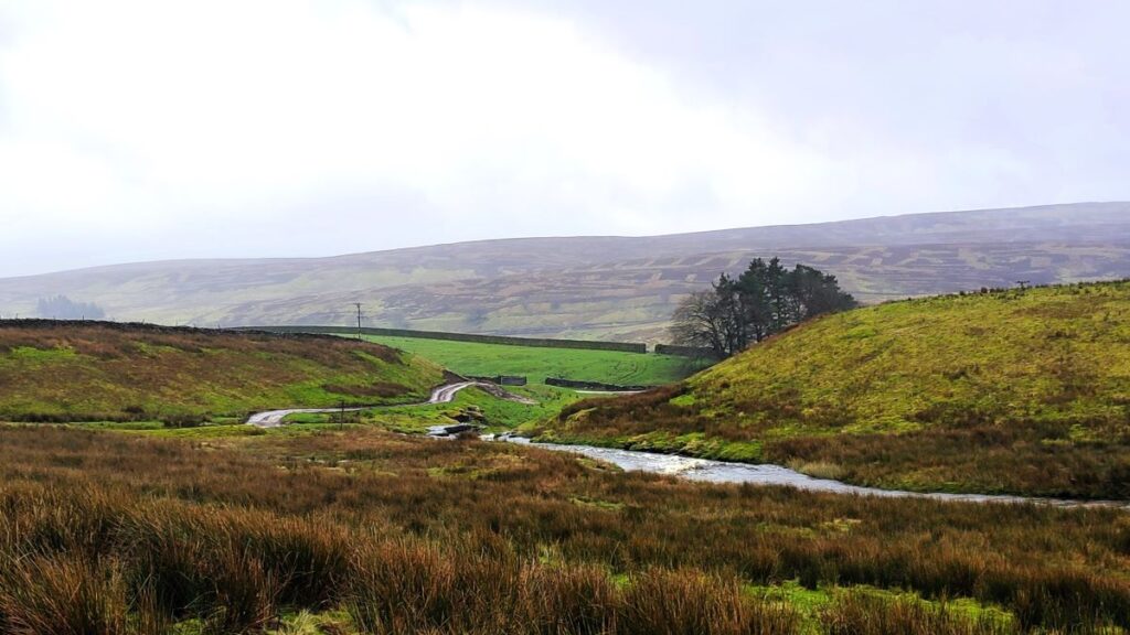
The walk starts at Thwaite Bridge on the A684 between Hawes and Sedbergh: There is a large lay-by on the right as you drive out of Hawes, 3 km after you cross the River Ure at Appersett. If your direction of travel is from Sedbergh, then the layby is on the left 1.5 km after the Moorcock Inn. If you are using Satnav to get there then try Thwaite Bridge A684 as an address – but note that you may need to use the alternate spelling of “Twaite”. The OS grid reference is SD82669226, whilst the what-3-words tag shred.hotspots.whirlpool may also help.
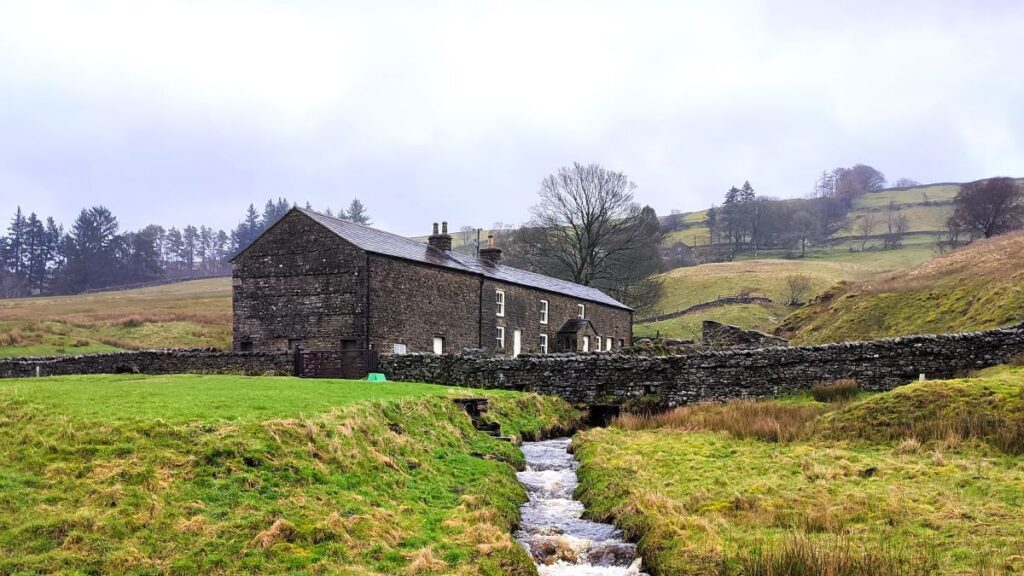
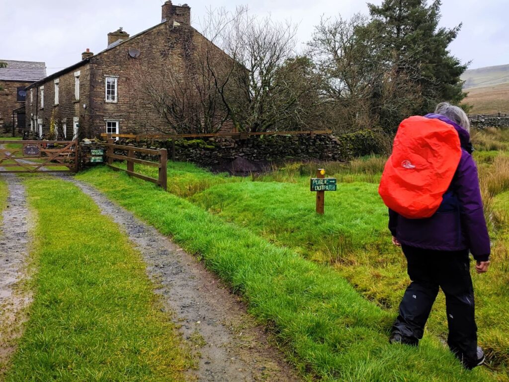
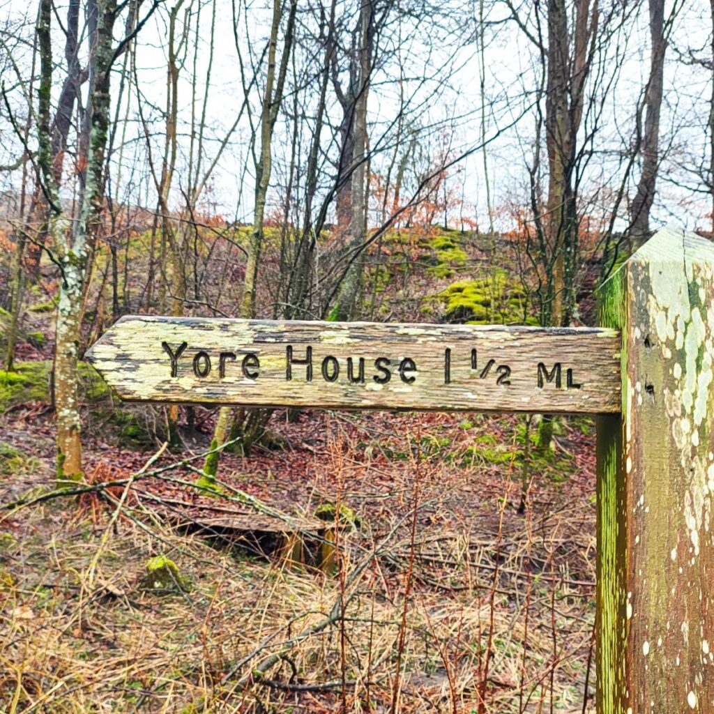
Having parked, look in the direction of Sedbergh and you will see the old bridge over the river Ure – the walk heads out onto hills by crossing the bridge and then turning left, as if heading into the farm at Thwaite Bridge House – you will see way markers for Yore House to help.
As we approach the farm, look for a roundel on the fence on the right, which directs us through a field heading slightly uphill to the right of the farm – we are heading west at this point and following the Ure upstream – although not at the riverbank.
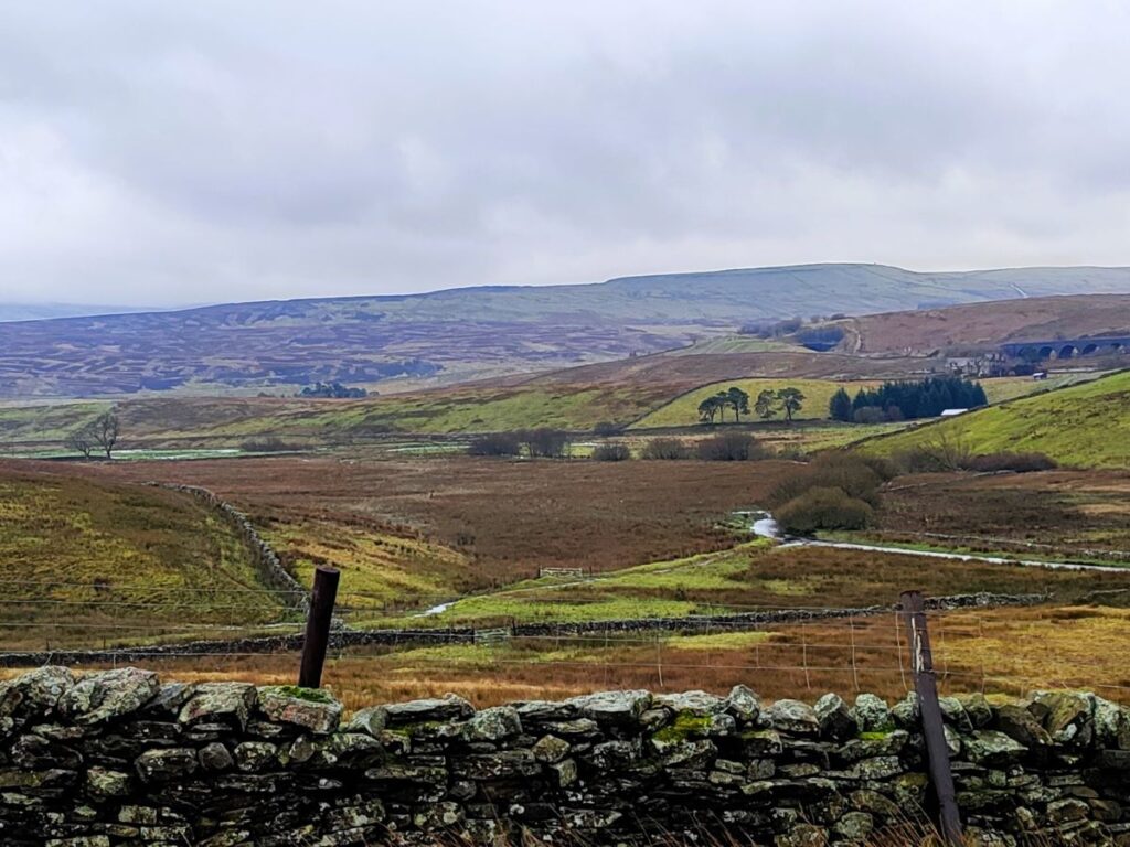
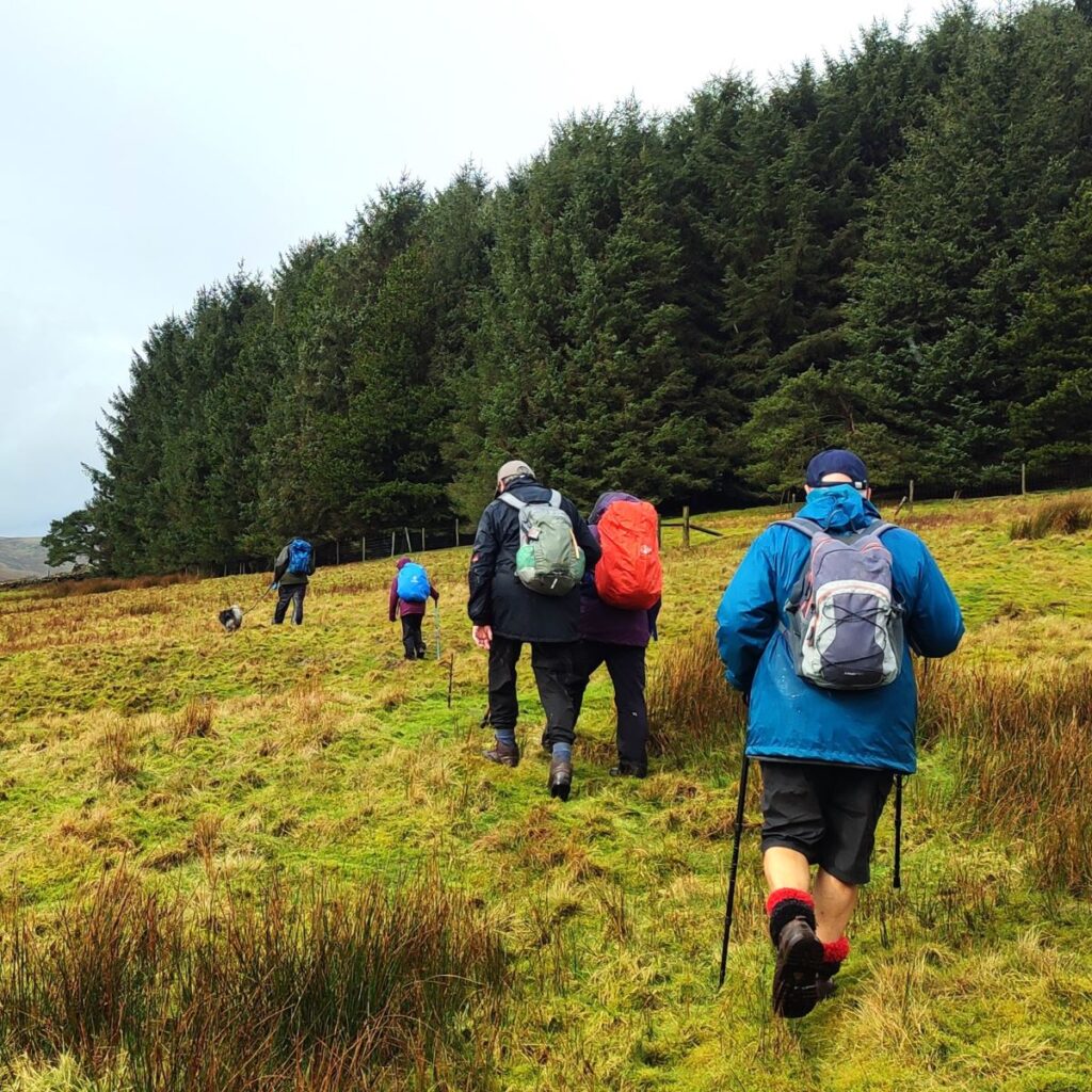
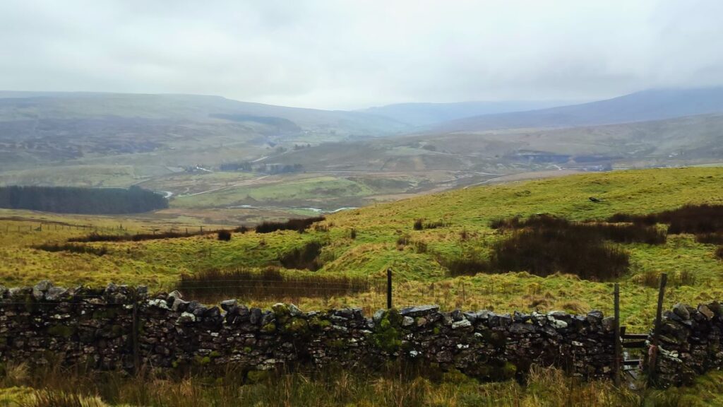
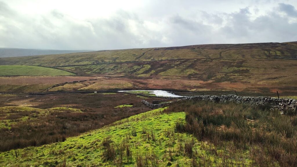
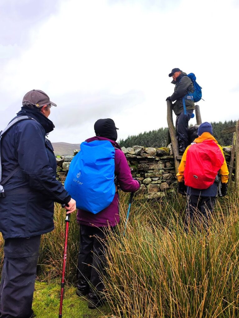
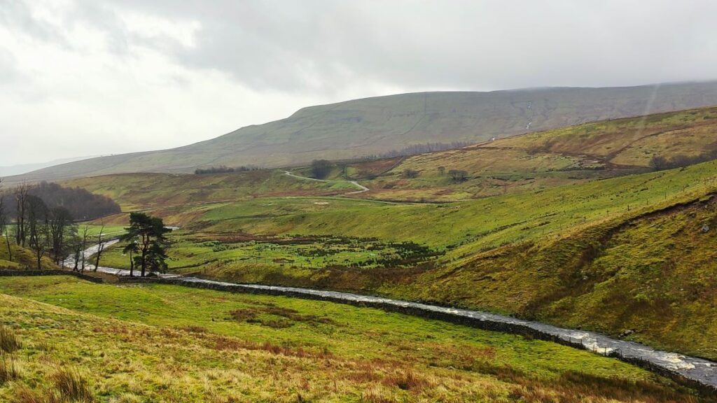
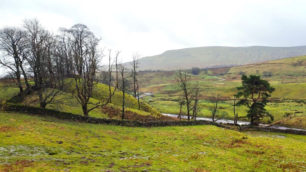
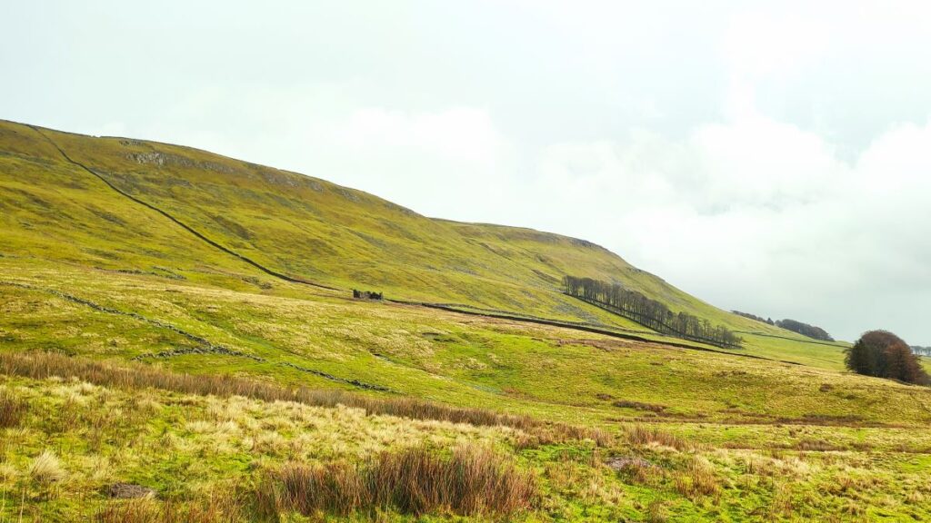
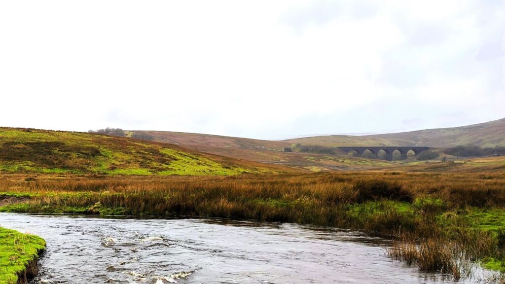
The path rises gently from here and we have a couple of stiles and gates to deal with, but the route remains clearly visible, and in practice as long as we stay roughly 100m away from the banks of the Ure, we will stay on track. All along this section of the route we are walking at the base of an impressive glacial valley known as Cotter Side– we get to see the upper sections later in the walk, but for now the key points to enjoy are the scree slopes of Cotter Clint, and disused quarries and spoil heaps at the Cotterdale end of the valley. On the opposite side of the valley meanwhile we have views of Mossdale Moor, the railway viaduct at Dandry Mire, and the glimpses of the disused railway line into Hawes.


We soon approach a patch of woodland – it lies to our left, so sits between us and the river – we need to find the stile in the bottom corner of the field adjacent to the trees, and then from there head slightly uphill to the bottom end of the next stand of trees. This is Cotterside Plantation.
You will note from the OS Map on our website that we took a route slightly lower on the hill side than the designated right of way – evidence on the ground is that everyone else takes the route we opted for, and apart from a needing to find a safe place to cross a couple of streams, it makes very little difference exactly which route you take.
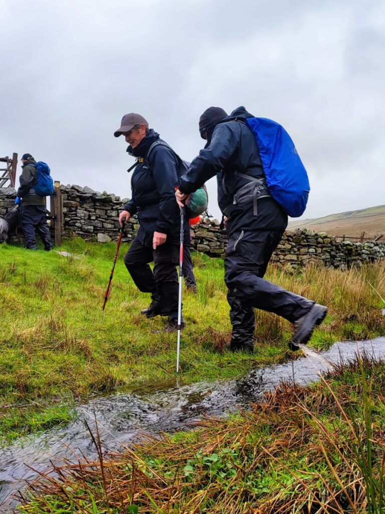
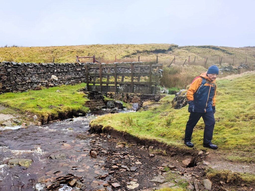
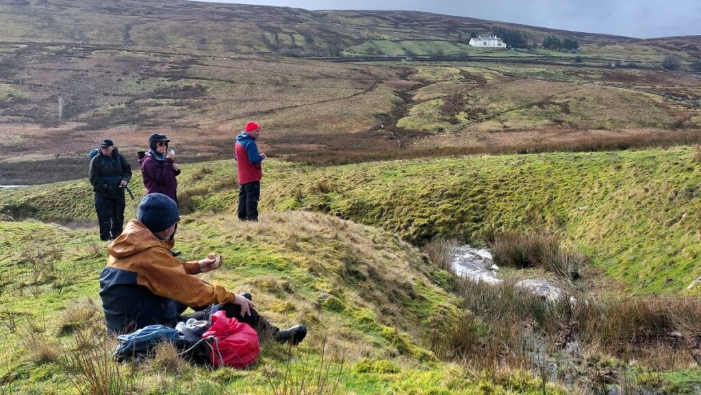
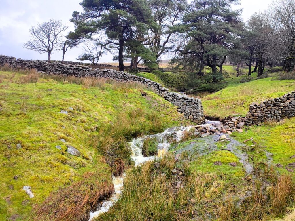
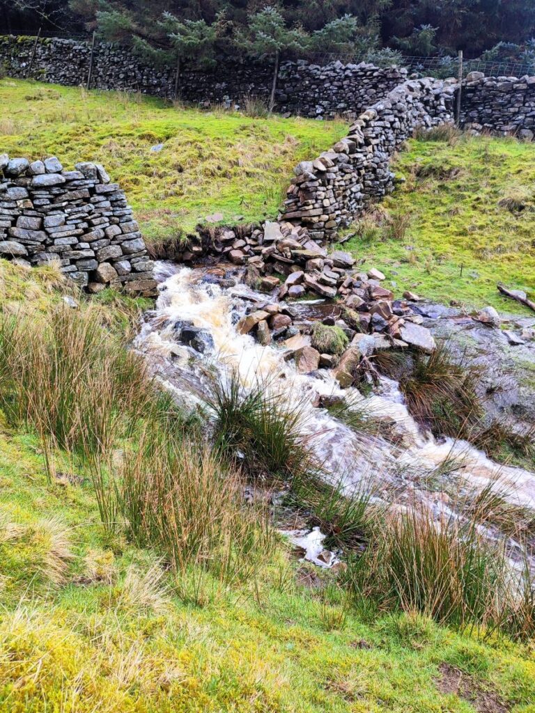
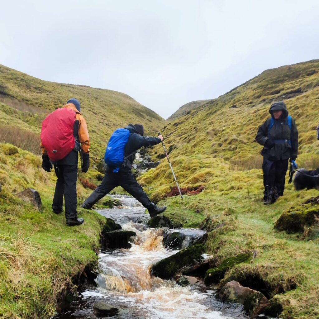
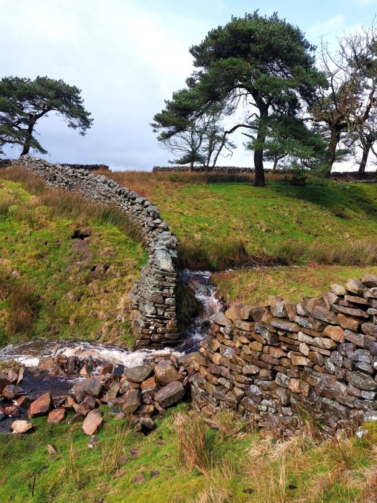
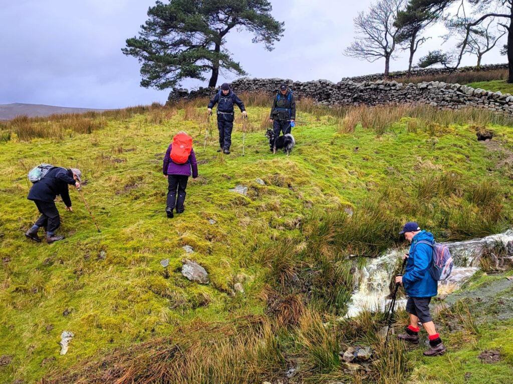
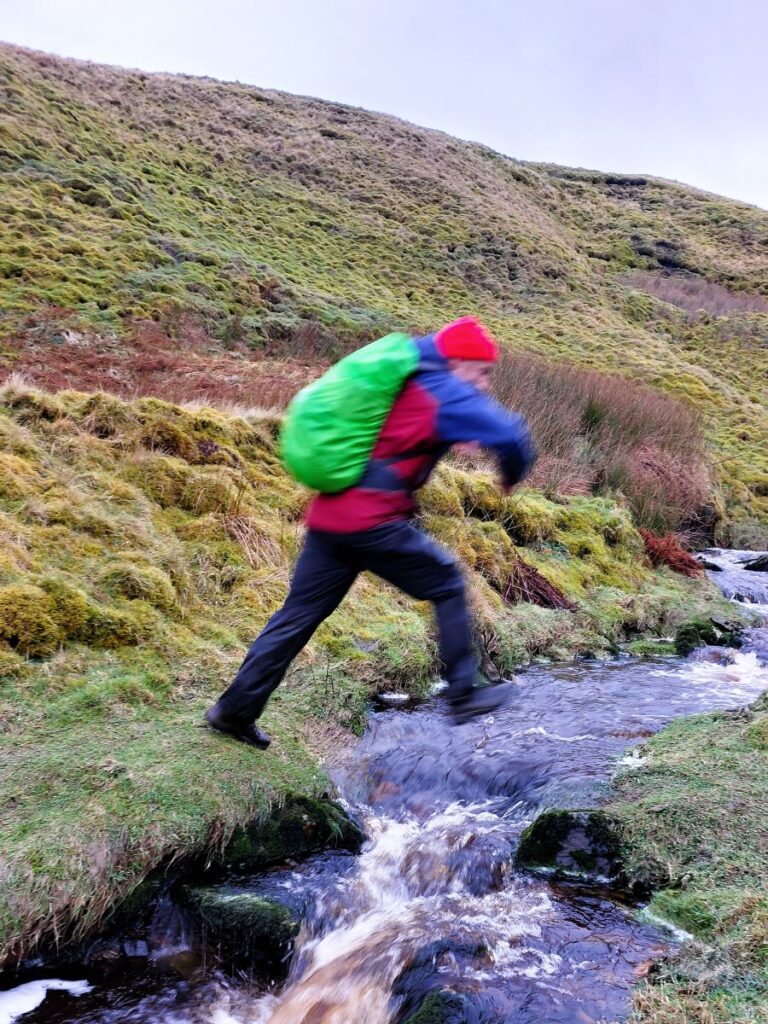
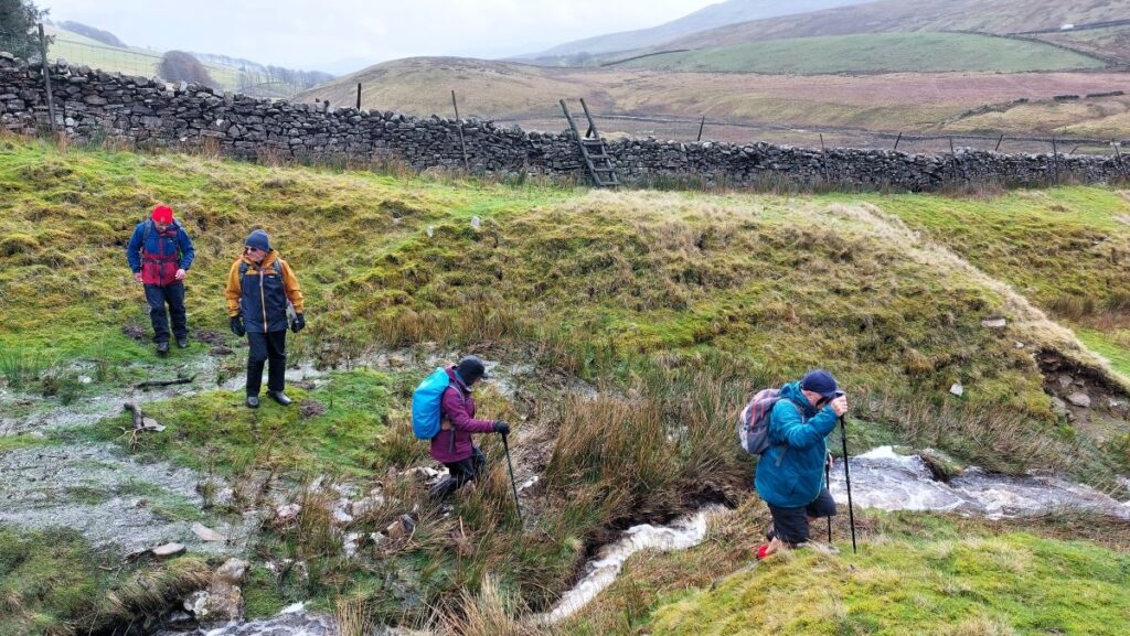
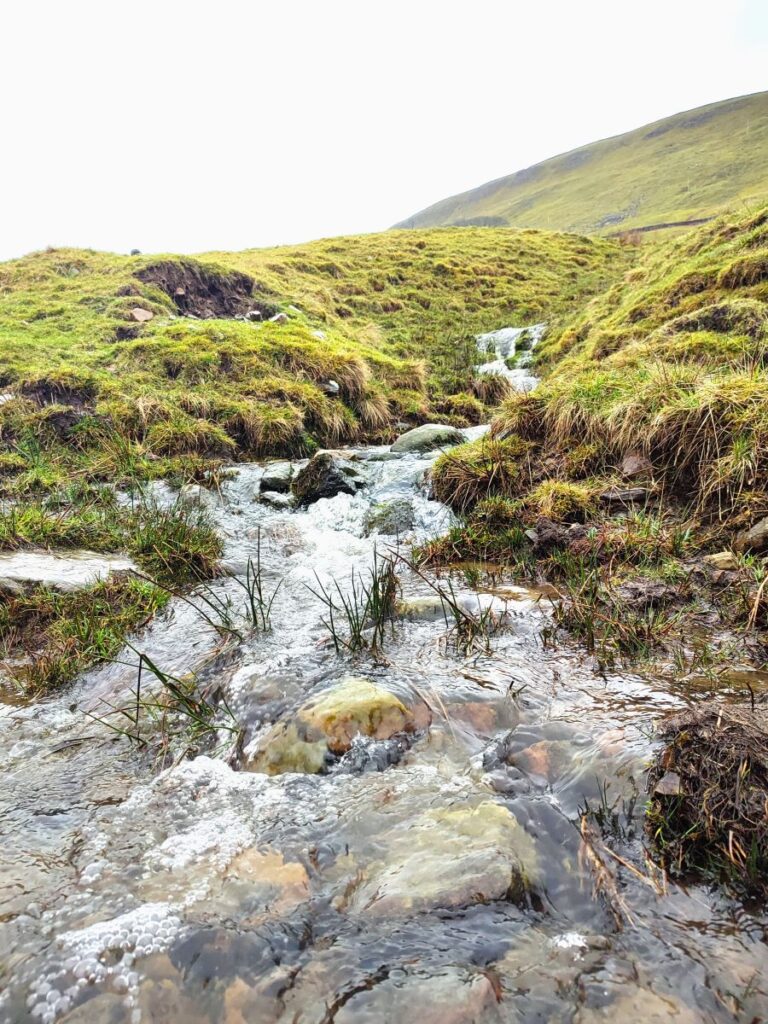
At the bottom end of Cotterside Planation, we cross a stile, and note an energetic beck flowing down through the plantation. We need to cross that stream and continue westward toward Yore House. For much of the year, that crossing is trivial – but on the day of our walk we were faced with a torrent. So, we did what any civilised person would do, we stopped for a brew and a snack whilst we built to courage to leap over the cascading water.

From here, we continue west – what was previously a path now becomes a farm track, and so the going is a little easier. The OS map then shows the track and the path diverging with the track uphill of the path, before the two come back together. In practice our experience on the ground is that the path is clear and is used by farm traffic, and the track is not really visible, but either way, as long as we head west toward the farm, we will stay on route.
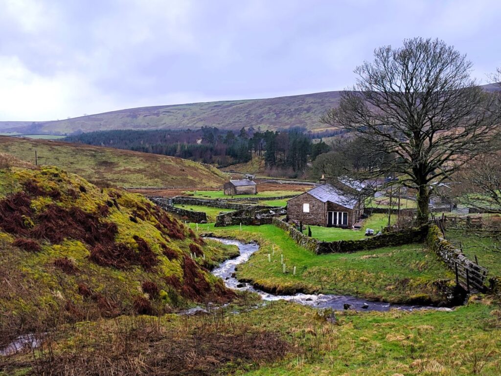
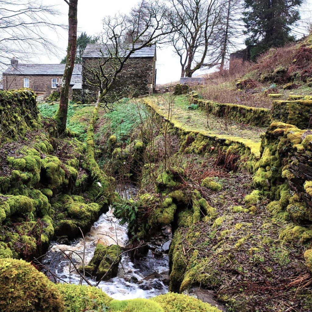
As we approach the farm at Yore House (presumably an alternate spelling to “Ure” as in the river), we cross a small ford, then need to look for a stile over to our right – between the farm and an area of tree planation.
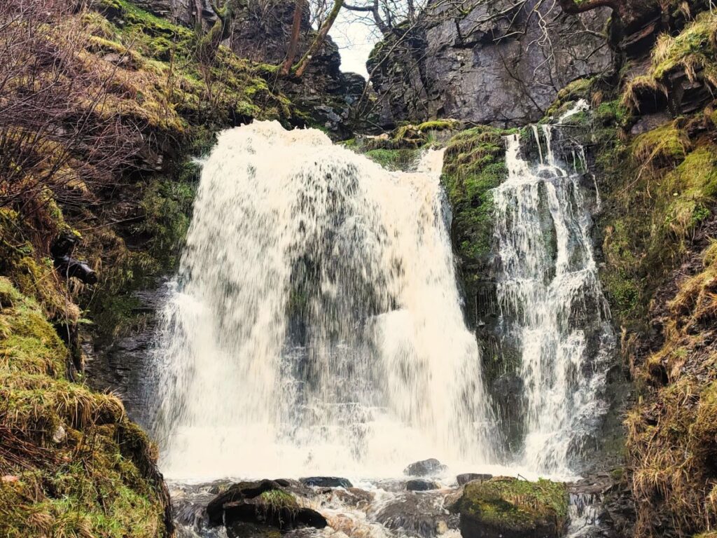
We cross the stile and continue onward until we come down a gentle slop to a clear track, running along the Ure. We need to turn right and head uphill along this track for a short distance, but before we do that, it’s worth looking left and noting the bridge which we see just downstream – there is a very impressive waterfall below this bridge, and a pleasant area of grassland adjacent to it, so if you are walking on a hot dry day, that could be a good option for a picnic.
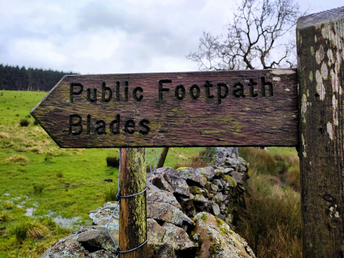
We were less lucky with the weather, so we headed right – the track forms part of the Pennine Bridleway – and then after no more than 25m, left the bridleway to pick up a path that hugs the bank of the Ure – there is a way marker for Blades that shows the correct route.
Our next landmark is a cluster of houses at Blades – the path joins a track coming in from our left at a bridge over the Ure and we head as if we were visiting the hamlet ahead – note that we do not cross the bridge over the Ure.
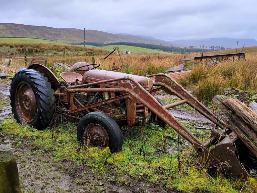
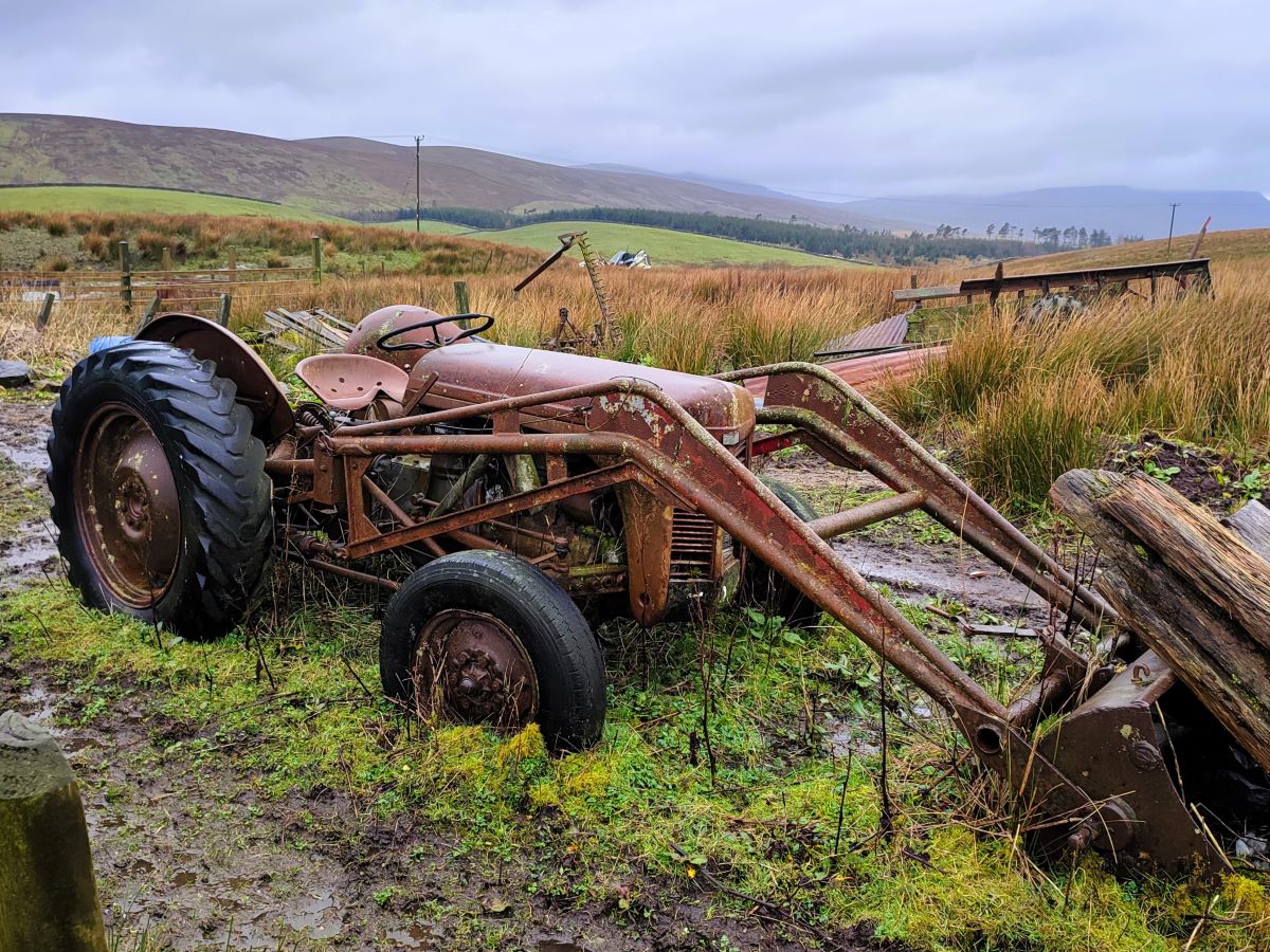
As we approach the houses, the path leaves the track on the right and we cross a stile to enter fields behind the farm, where connoisseurs of vintage farm machinery will enjoy an ad hoc museum. We head right once we are over the first stile and go directly to a second in the wall ahead.
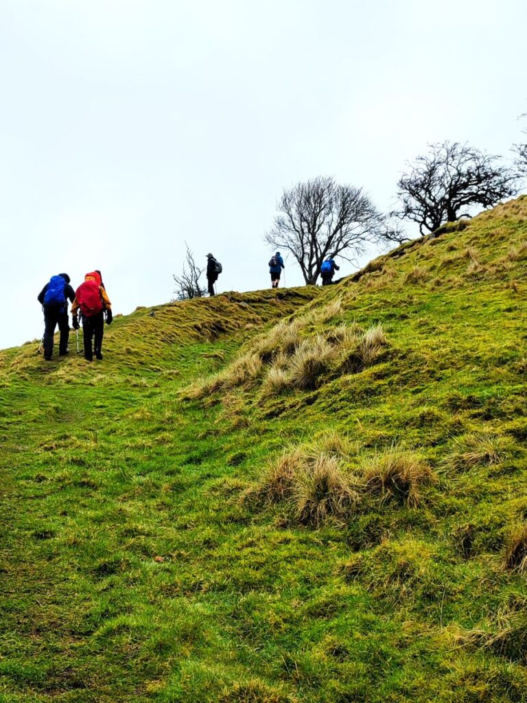
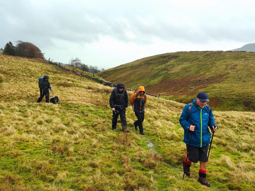
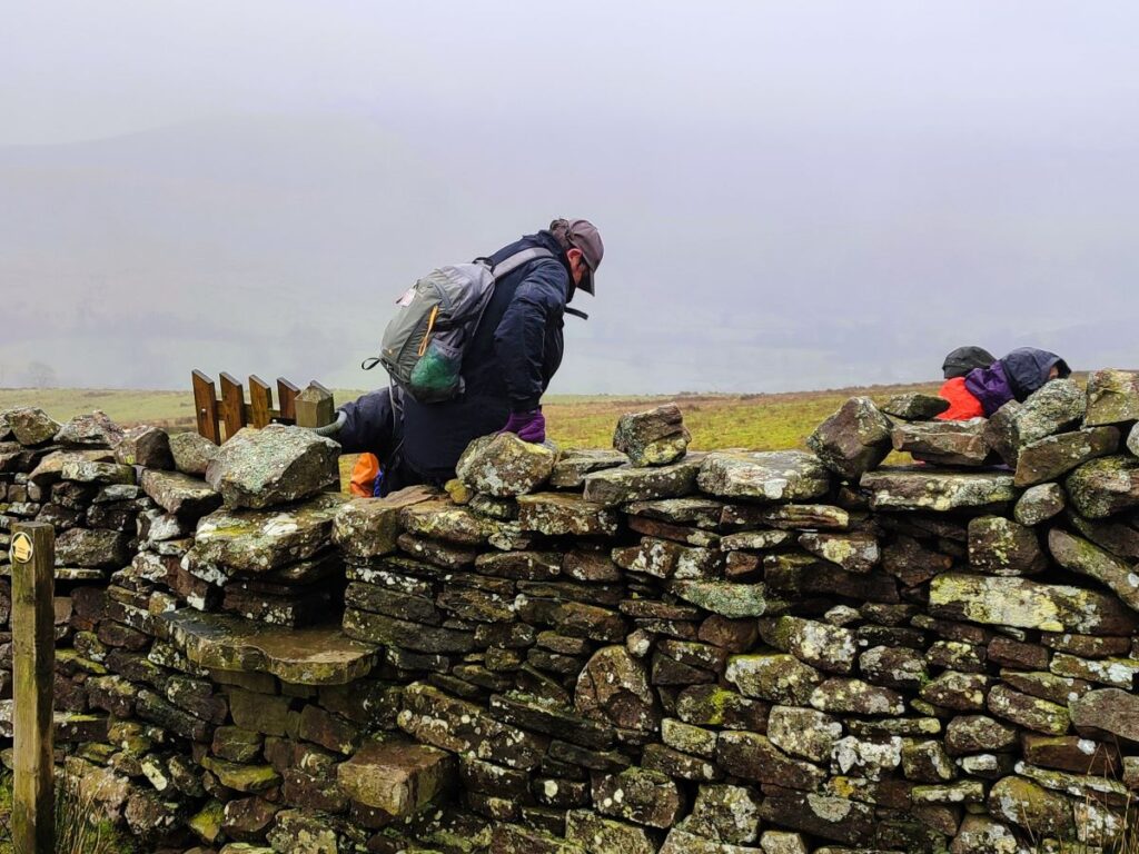
After the stile we are in rough moorland, and head Northwest (i.e. slightly left). At this point, the path is barely visible, and you will note that the route we took does not coincide with the designated right of way. In practice this does not really matter – our next landmark is a step stile in the northwest corner of the field we are currently walking, at the junction of the drystone walls, and next to a beck – so just find a safe route to that point by tracking around the contours and all will be well.
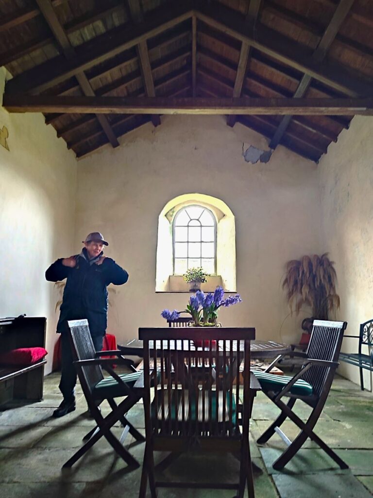
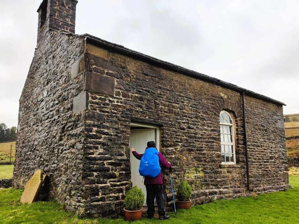
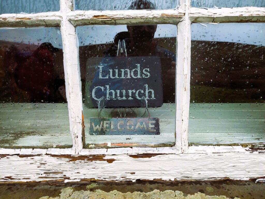
Once over the stile, we see Cowshaw hill ahead – we are now at Lunds – and we see a further stile at the top of the hill. As soon as we cross this, we see an attractive deconsecrated Chapel ahead of us – this is Lunds Church, and we follow the path downhill directly to it. This small but rather beautiful church was built as a chapel of ease in the early 18th century. A chapel of ease (or chapel-of-ease) is a church building other than the parish church, built within the bounds of a parish for the attendance of those who cannot reach the parish church conveniently, generally within sparsely populated rural areas.
The church would once have catered for a congregation of up to 60 when farms would have employed many more people. Depopulation of the area in more recent times meant that the church became non-viable, and it was de-consecrated in 1981. These small chapels were once a staple feature of Dales life, so it perhaps not surprising to learn that Lunds Church was used as a location in the atmospheric 2011 film Wuthering Heights.
Although it no longer serves an active religious function, the building is clearly loved with a well maintained graveyard, and there are plans afoot to restore the chapel and stabilise the structures for generations to come – click here to read more.
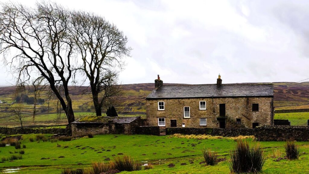
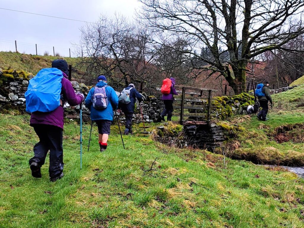
Having paused for a while at this lovely spot we start our ascent of the valley side that has been on our right hand side all morning. We exit the church grounds at a gate stile and head over a foot bridge to pick up a lane that rises to a farmhouse. Here we find a stile adjacent to the wooden 5 bar gate and walk past the front of the house and then via another stile onward up an increasingly steep path.
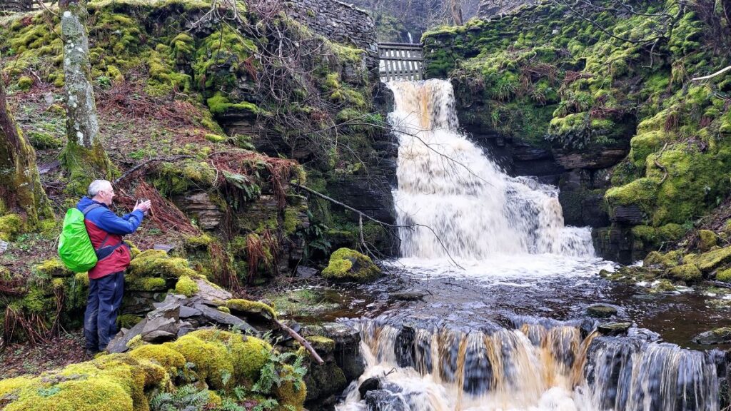
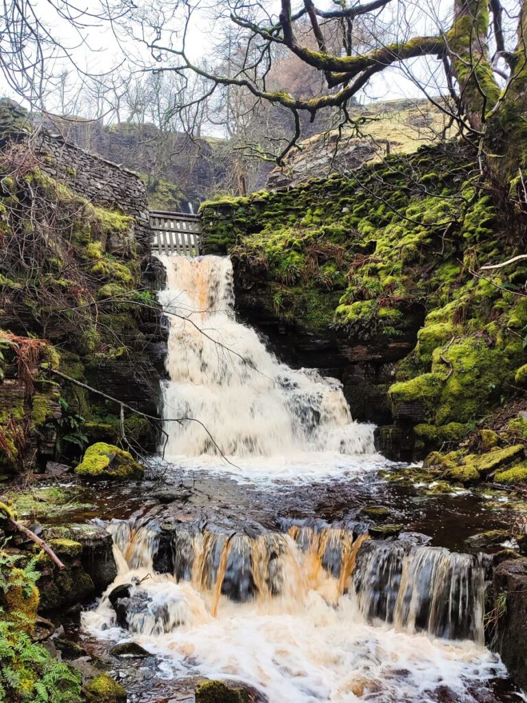
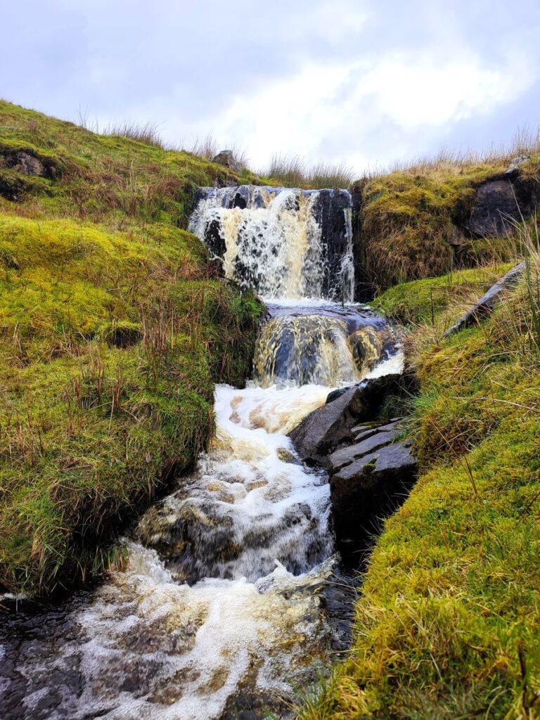
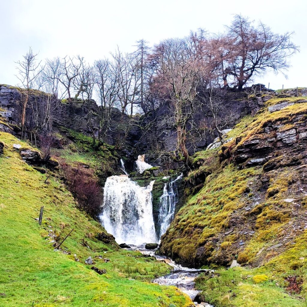
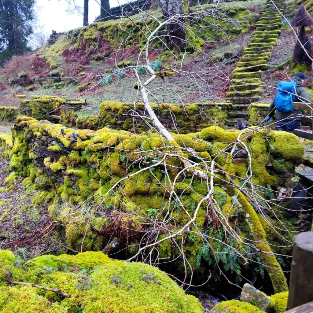
We are now heading northeast toward a junction of paths at Shaws – where we find a waterfall. This is one of the examples of where the weather that had seemed a bit of burden at earlier parts of the morning now pays dividends – the waterfall is spectacular when the beck is in spate.
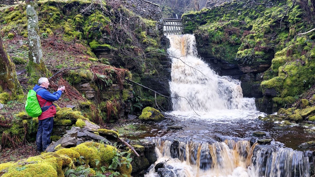
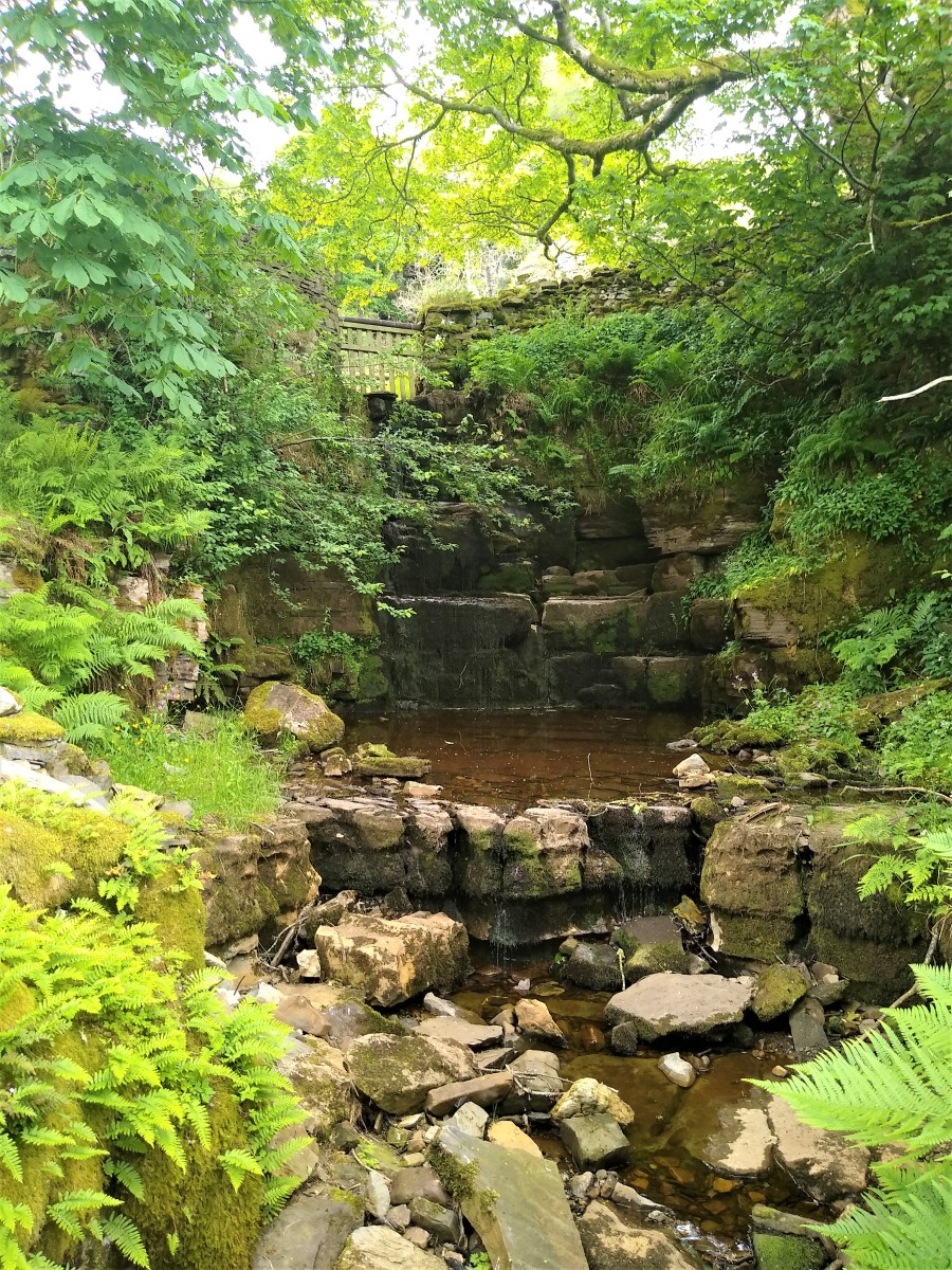
Comparing this with a similar shot taken during our Grisedale and Garsdale walk in 2022 shows just how swollen the beck becomes.
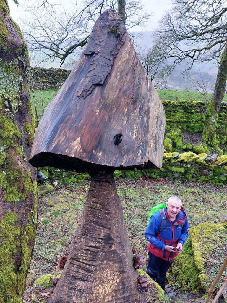
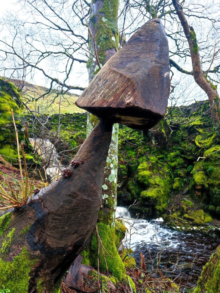
From the base of the waterfall, we head round the back of the farm – enjoying the carved wooden sculptures as we go – and then pick up the path that continues upward to Lady Anne’s Way (also referred to as the High Way), the high level path along the top of the valley.
This 100mile route from Skipton to Penrith was inspired by Lady Anne Clifford, an indomitable lady who owned vast estates in the old county of Westmorland during the seventeenth century. Lady Anne travelled repeatedly between her castles and the route takes in many of these once magnificent buildings. Most, like the Pendragon Castle we visited on our Mallerstang walk, now lie in ruins. to find out more, click here
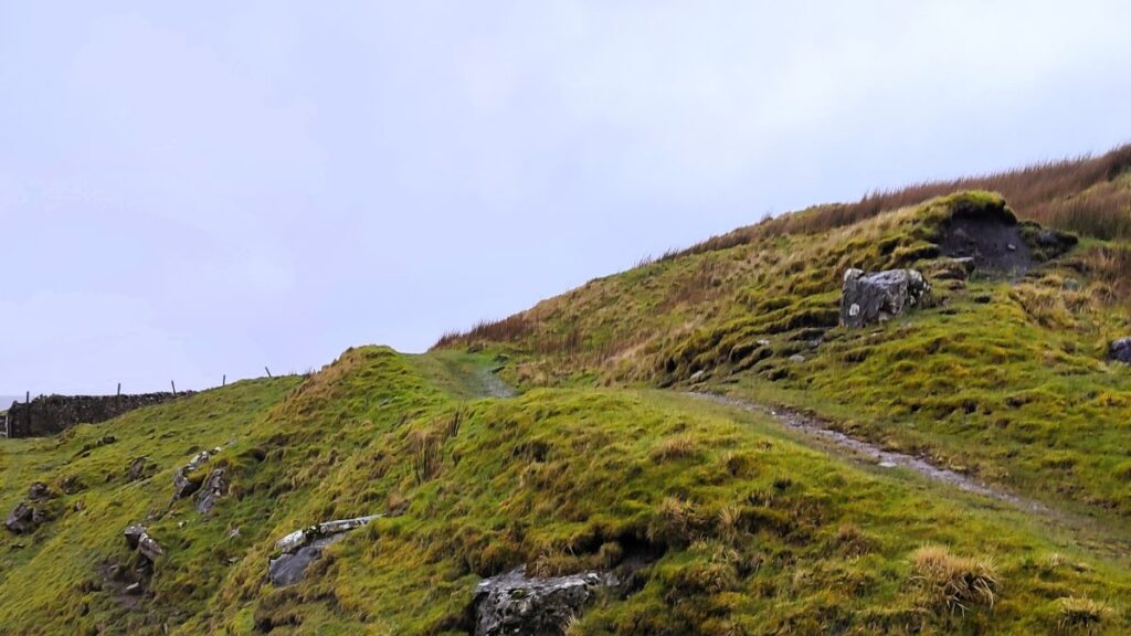
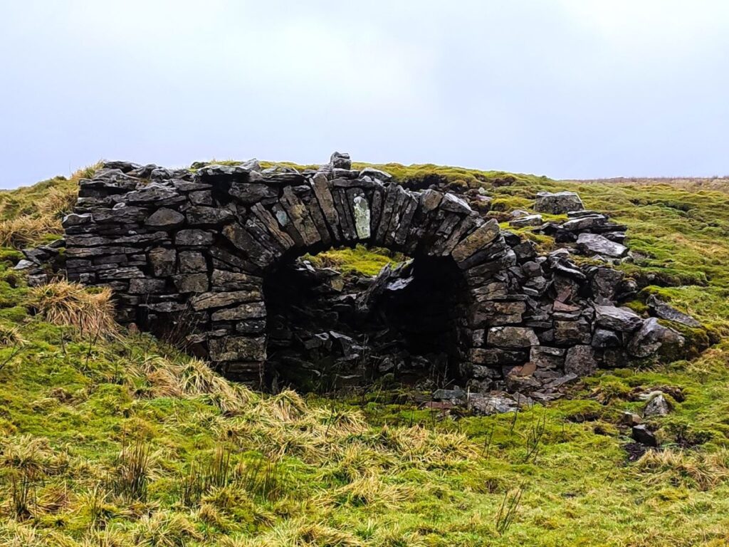
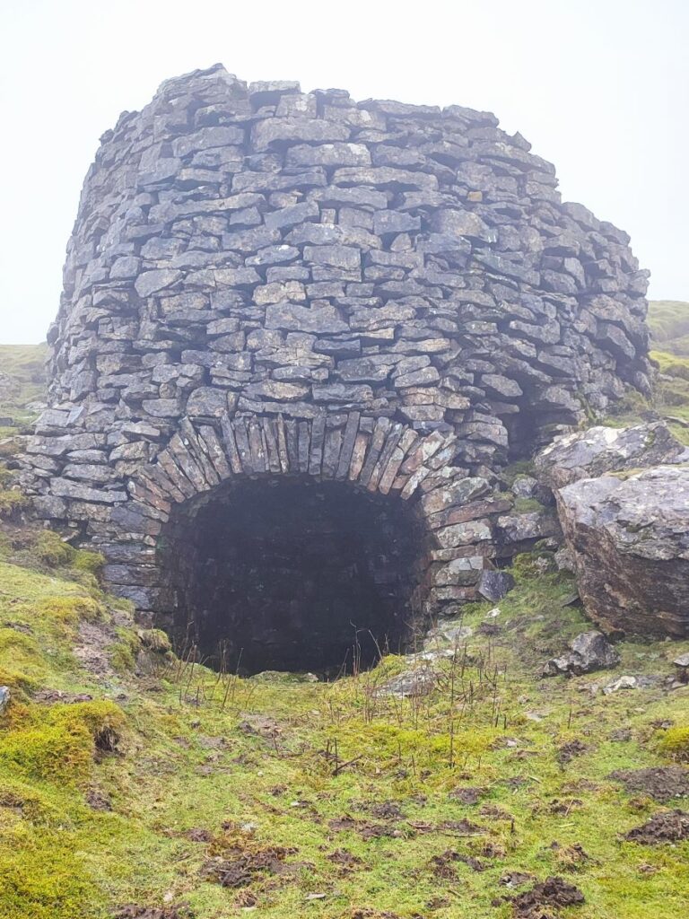
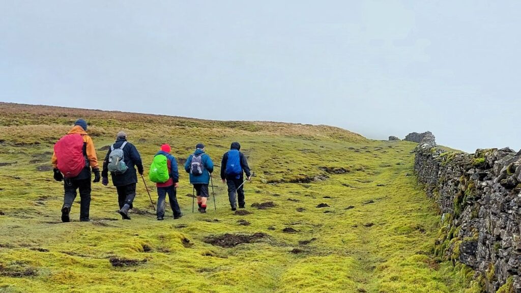
Once we arrive at this popular long distance path we head right – we are now on our way back to Thwaite Bridge, and for the next couple of miles navigation is easy – just follow the path along the top of the ridge enjoying the views to our right. After a mile and a half, we arrive at Cotter End – the end of the ridge where we find a lime kiln, a bench, and a jaw dropping view up the valley to Hawes and beyond (weather permitting of course).
From Cotter End the path heads steeply downhill, through a gate and then becomes a rough track with a drystone wall to the right. We follow it for 250m and then find a waymarked stile on our right – we take this and then head southwest toward Thwaite Bridge.
The first 200m of this path are gently downhill, and then after crossing a stile at the top of a stand of trees, a final 200m section is much steeper, ending at a drystone wall somewhat to the left of the farm tht we walked past right at the start of the day.
There is a gate through that wall, and from there we take a steep and somewhat slippery path down to Thwaite bridge where the walk ends. Take care on this section.