Jump to . . .Step by Step | OS Map | Downloads | Gallery | Fly through
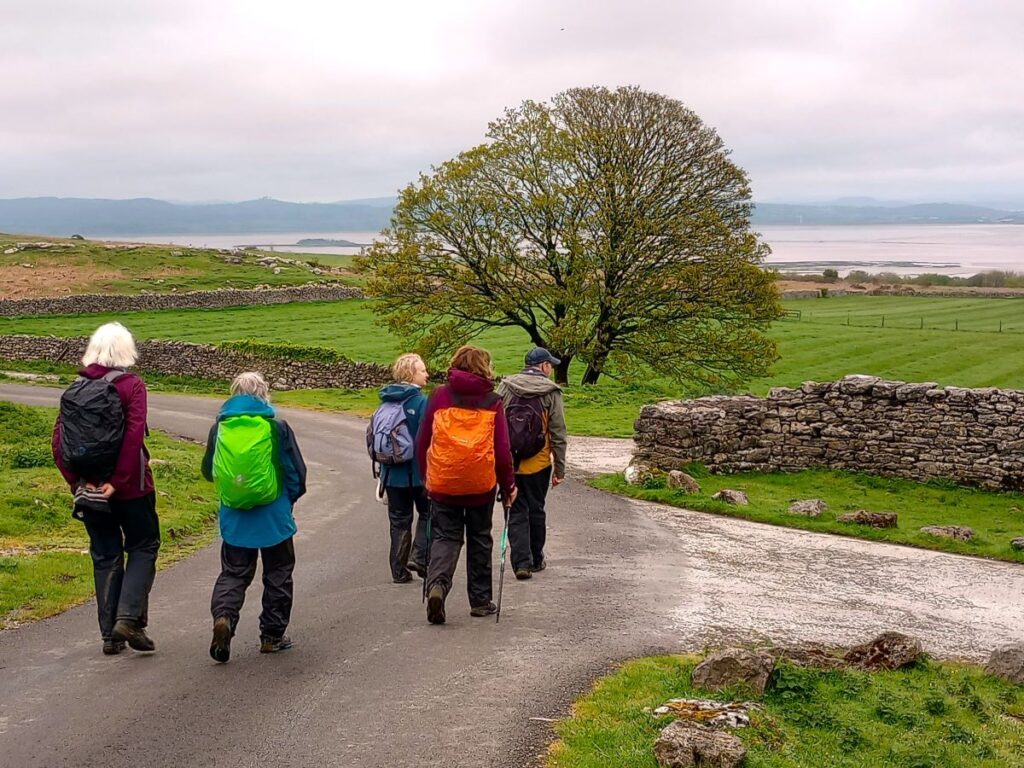
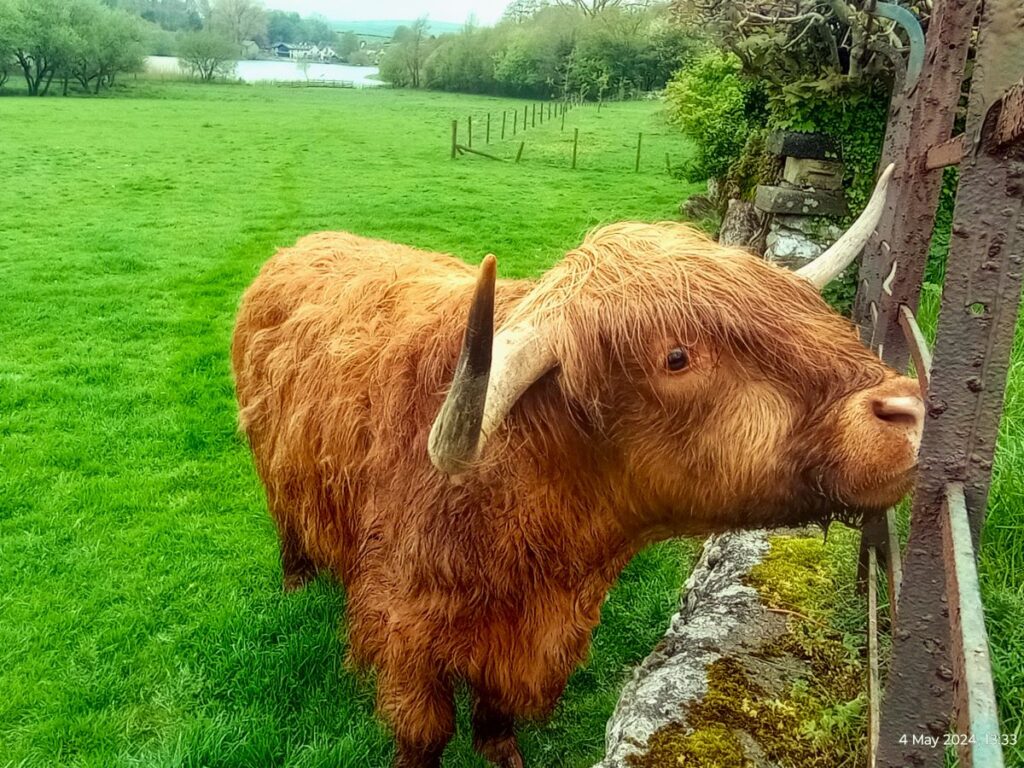
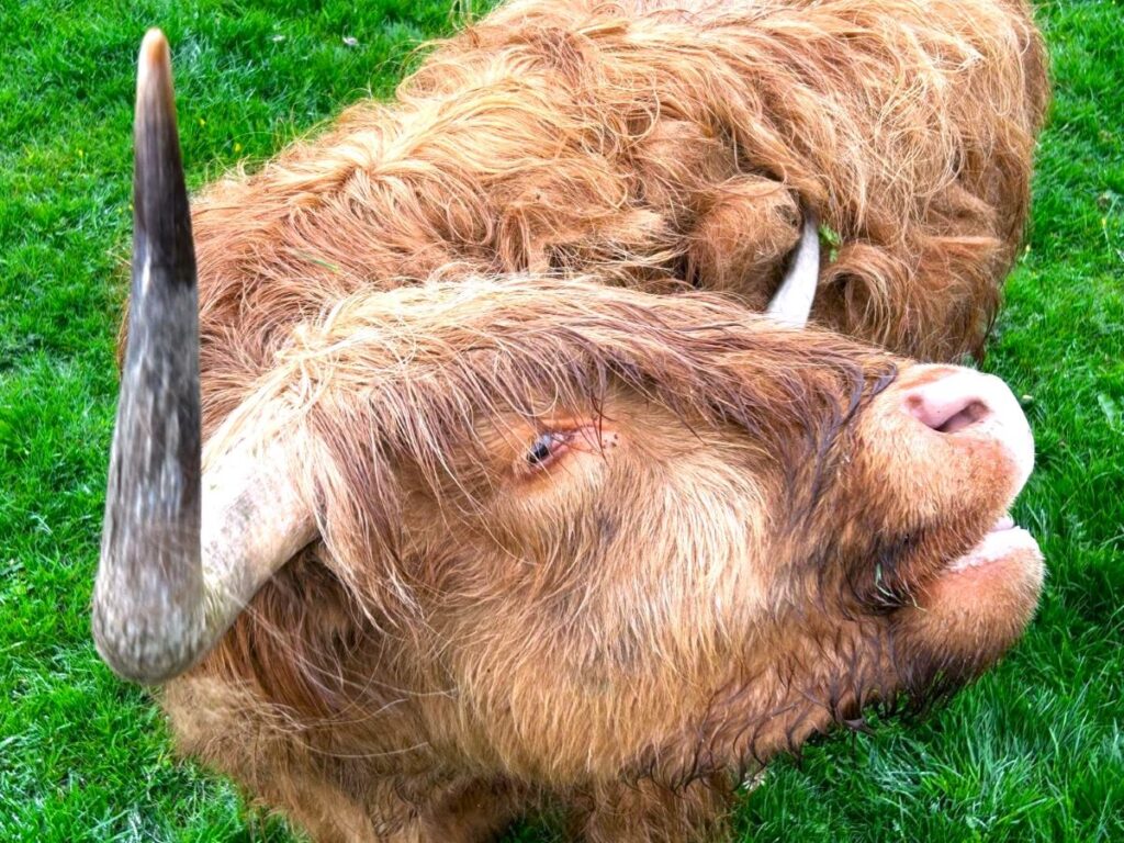
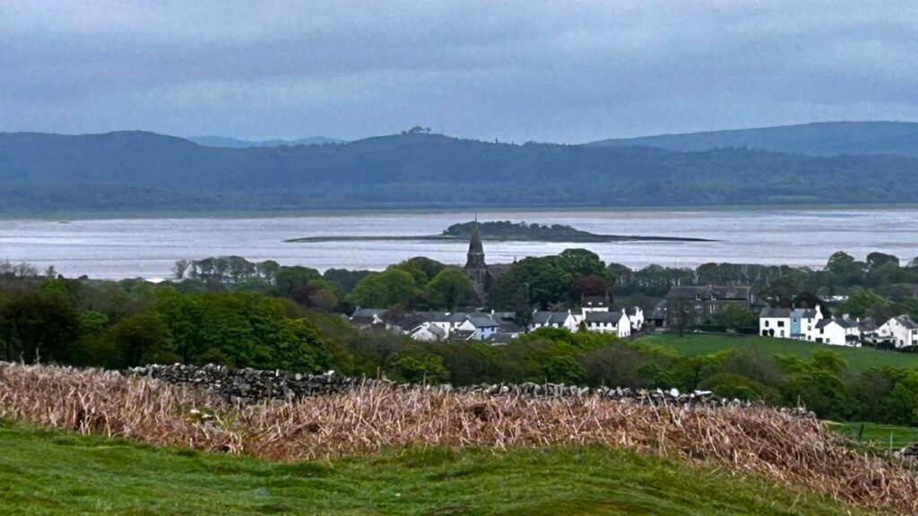
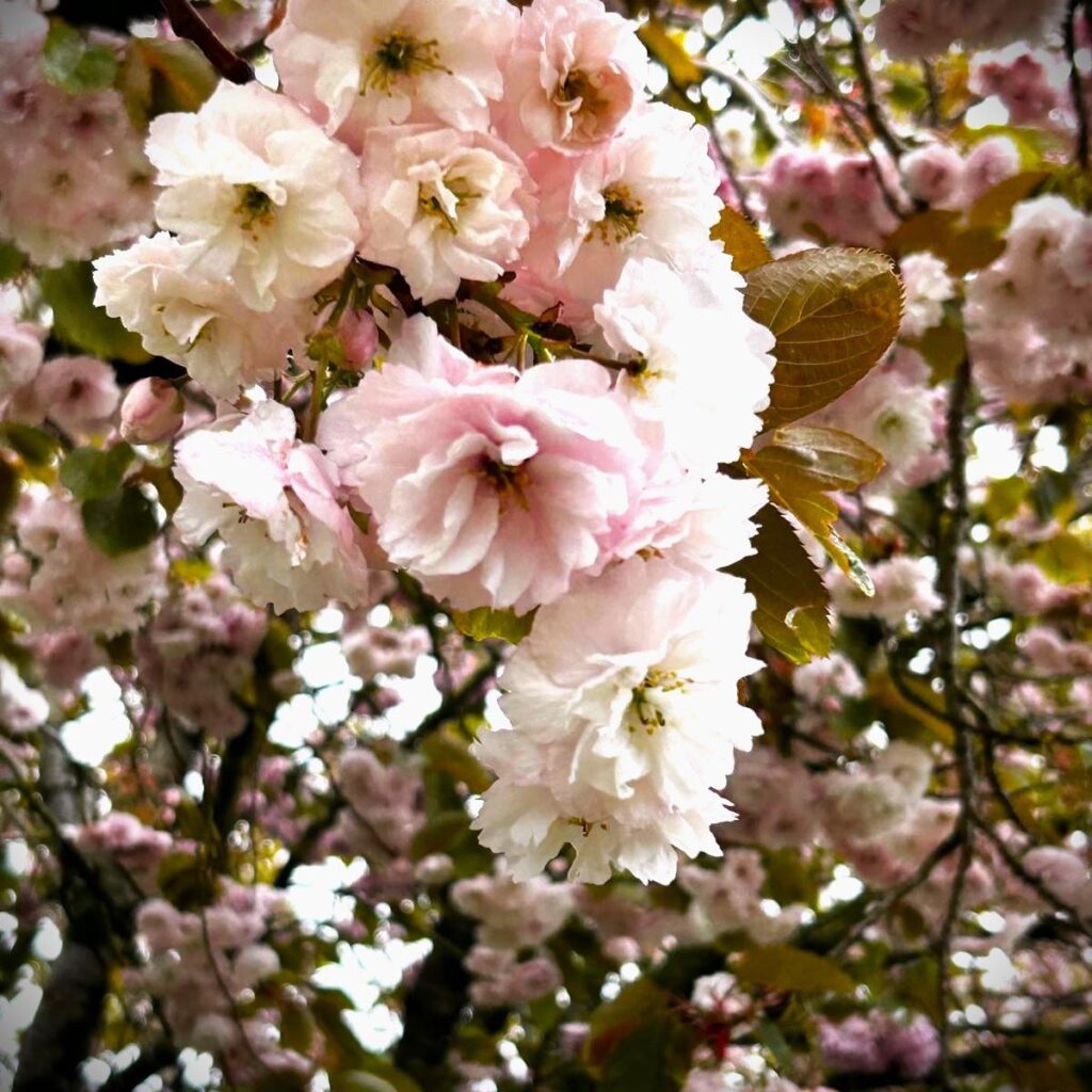
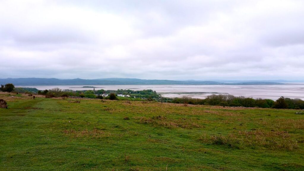
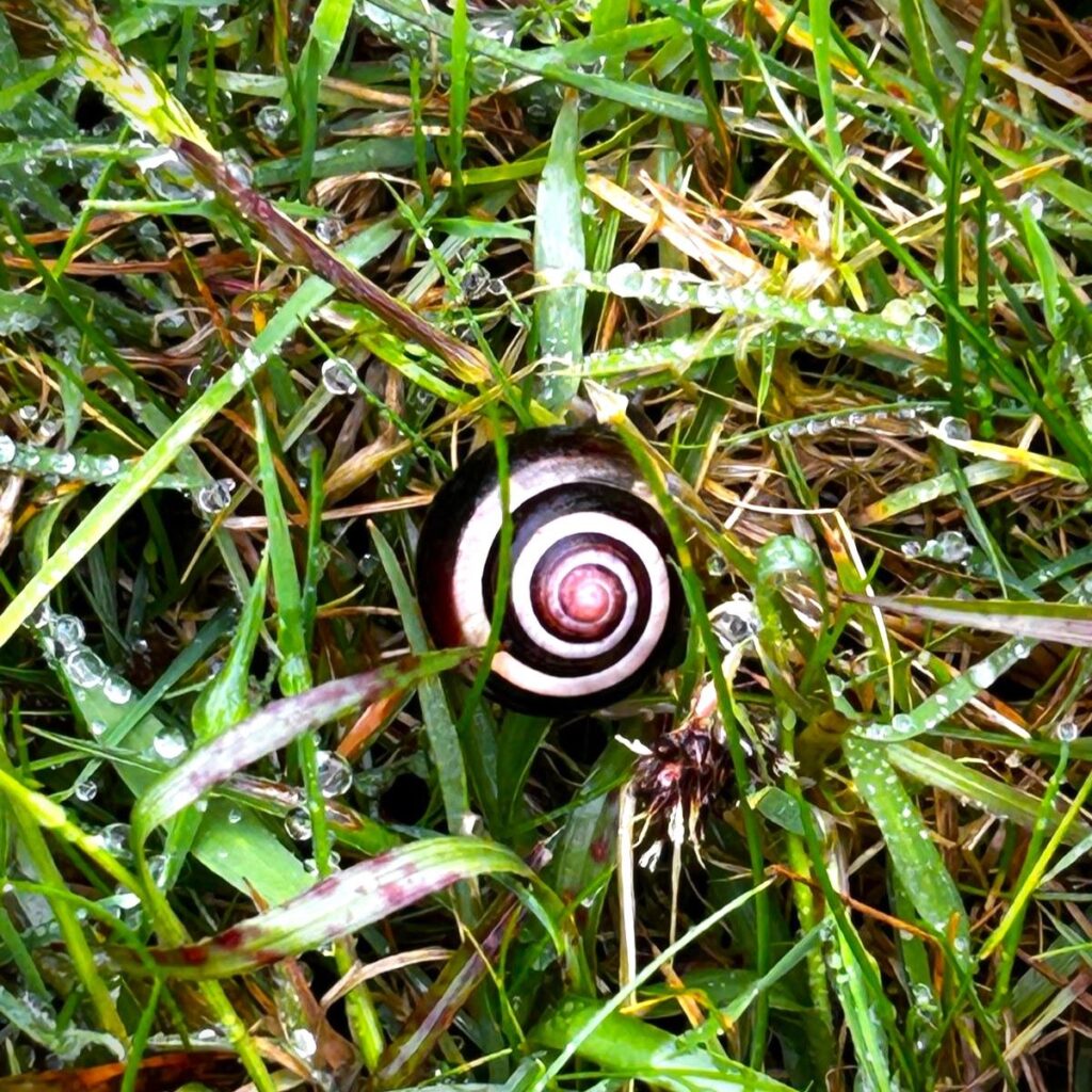
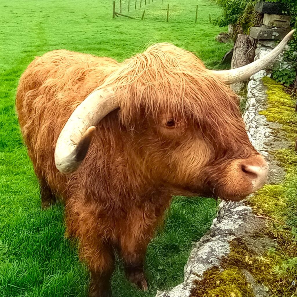
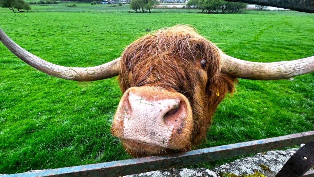
In March 2024, Bentham Footpath Group walked at Flookburgh, and enjoyed views over the Cartmel sands to Bardsea. This time we are on the other side of the estuary for a great walk starting from Bardsea then heading inland to visit Urswick and its tranquil tarn. On the way we have the corresponding views back toward Flookburgh and the whole of Morecambe Bay. We also see a beautiful church, a curious three sided folly, get more than one ice cream opportunity, and pass the site of an ancient hill fort, before noting alpacas, highland cattle and a stone circle. We end by walking on the beach with opportunities to see and hear all the birdlife teeming at the margins. All this with free parking and public toilets.
- Total distance 11.8 km (7.4 miles)
- Total ascent 250 m
- Easy walk
Step-by-Step
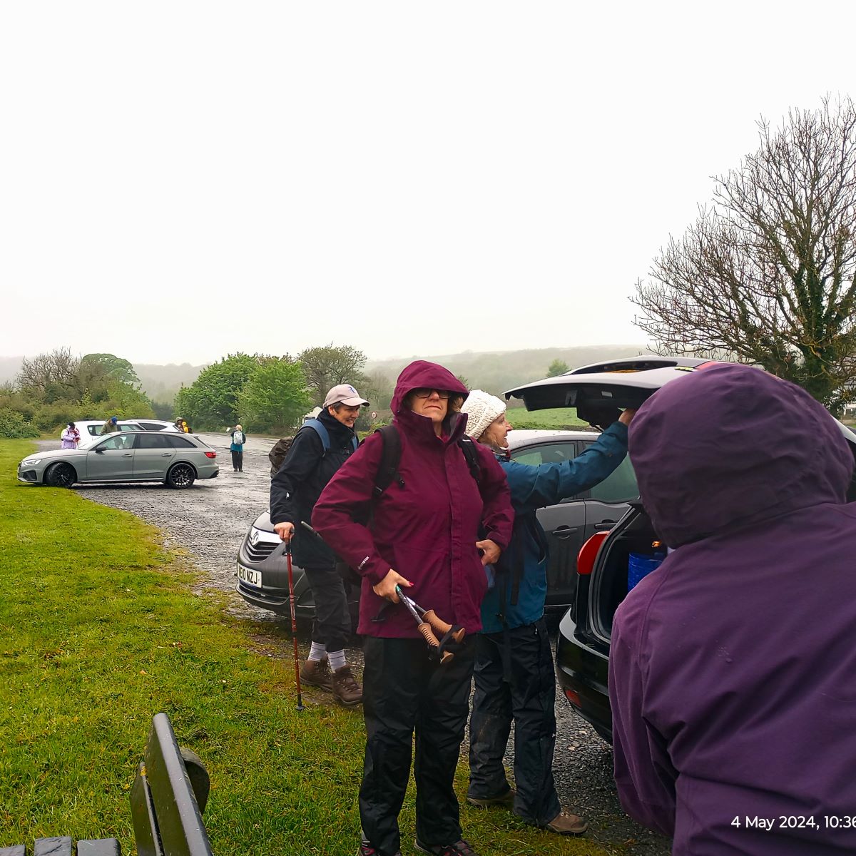
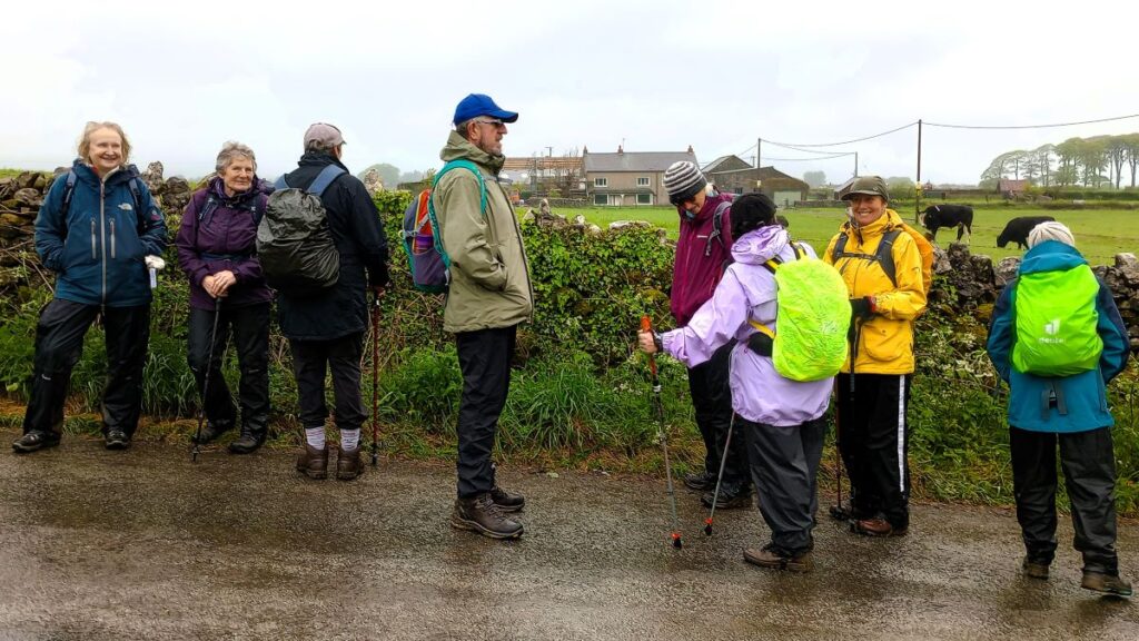
We start from a large layby at the side of the A5087 in Bardsea – parking is free and there is generally lots of space. To find the starting location, take the A590 to Ulverston, then as you approach the town centre take the A5087 – this is on the left if you are approaching from the east via the M6.
Follow this road for about 3 miles, until Bardsea where the road now runs along the side of the estuary – parking is on the left hand side of the main road. If you are using Satnav to get to the start, then try Main Street Bardsea, Ulverston LA12 9QU as an address – this is the minor road opposite our parking place. If you prefer paper maps then the OS grid reference is SD30277433, whilst the what-3-words tag gobbles.detail.shampoos pinpoints the parking.
From the layby, we start with our back to the estuary looking up toward Bardsea – we need to walk up into the village. There are in fact two minor roads come down from the village to the A5087, and curiously they are both called Main Street. It really does not matter which we take – they come together but to exactly duplicate our route choose the road to the right of the public toilets. These by the way are maintained by local volunteers – so a financial contribution would always be welcomed.
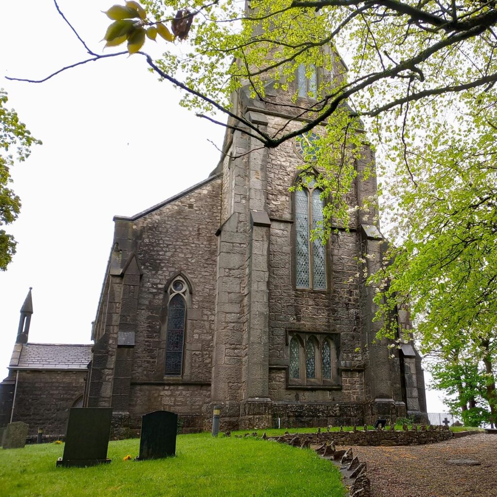
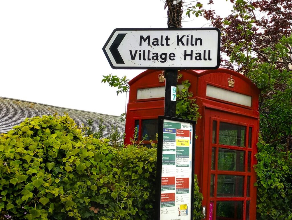
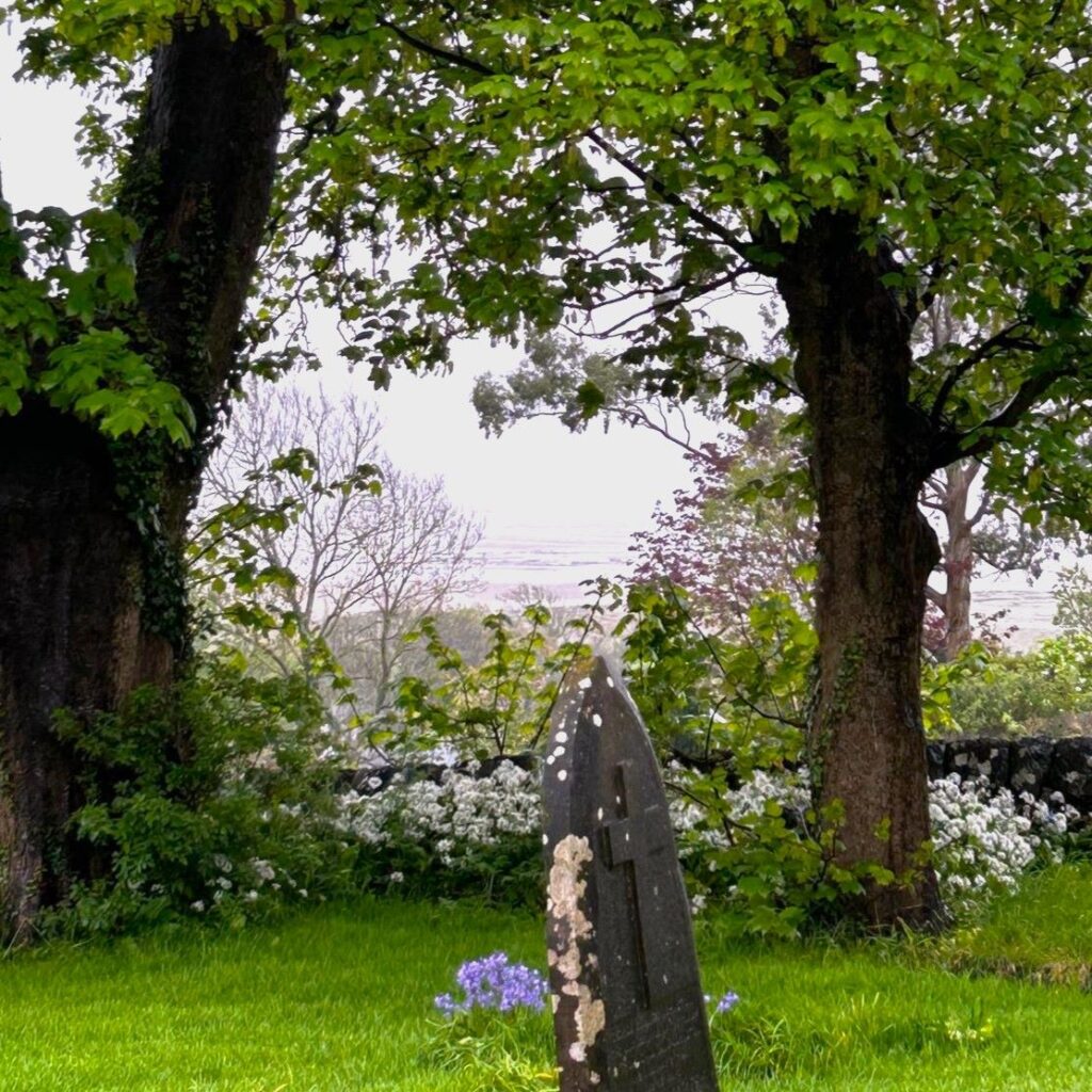
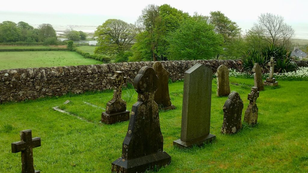
At the top of main street we bear right and enter the village. We will be taking the minor road past the Malt Kilns community centre in a moment but it’s worth taking a short diversion along the main street to visit the church of Holy Trinity. This attractive building sits on a promontory with great views from the rear of the church over the estuary toward Chapel Island.
Unusually for a BFG walk, the architect was George Webster of Kendall not our favourites – Austin and Paley. It is early English in style with stained glass by Powell of Whitefriars with later additions by Shrigley and Hunt. The architectural critic Pevsner rather sniffily states “this is a building without poetry, but beautifully placed above Morecambe Bay”. Harsh.
The foundation stone of the church was laid in 1843 but it was not completed until 1853. Originally in the Chester Diocese it was transferred to the Bishop of Carlisle’s Register of Deeds in 1910. The building underwent a major refurbishment in 1998, funded by the very first Heritage Lottery Fund grant.
Click here to find out more about Holy trinity church, and here or here to learn more about Bardsea
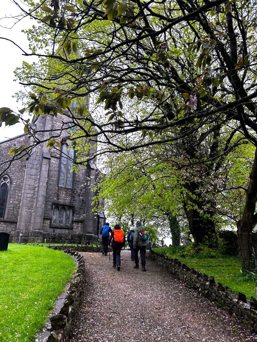
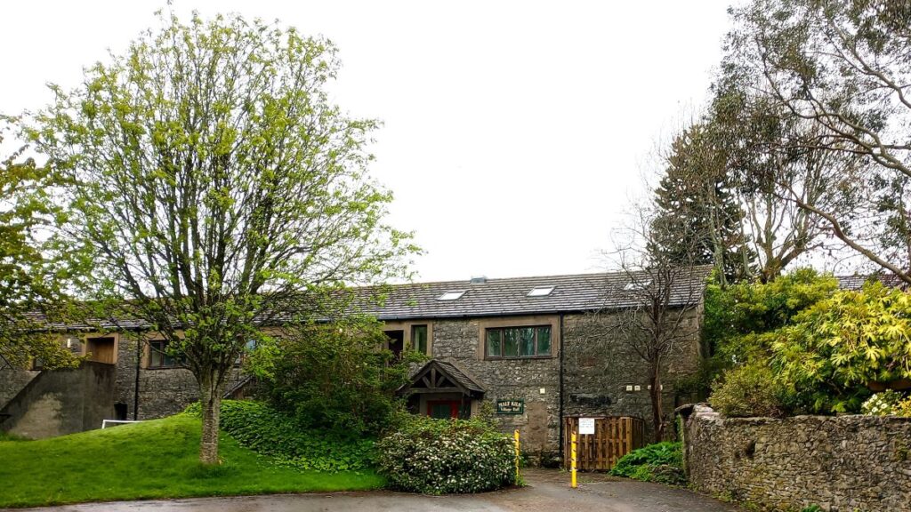
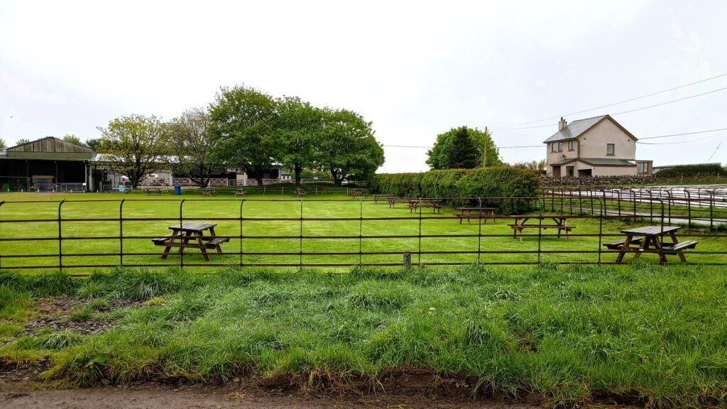
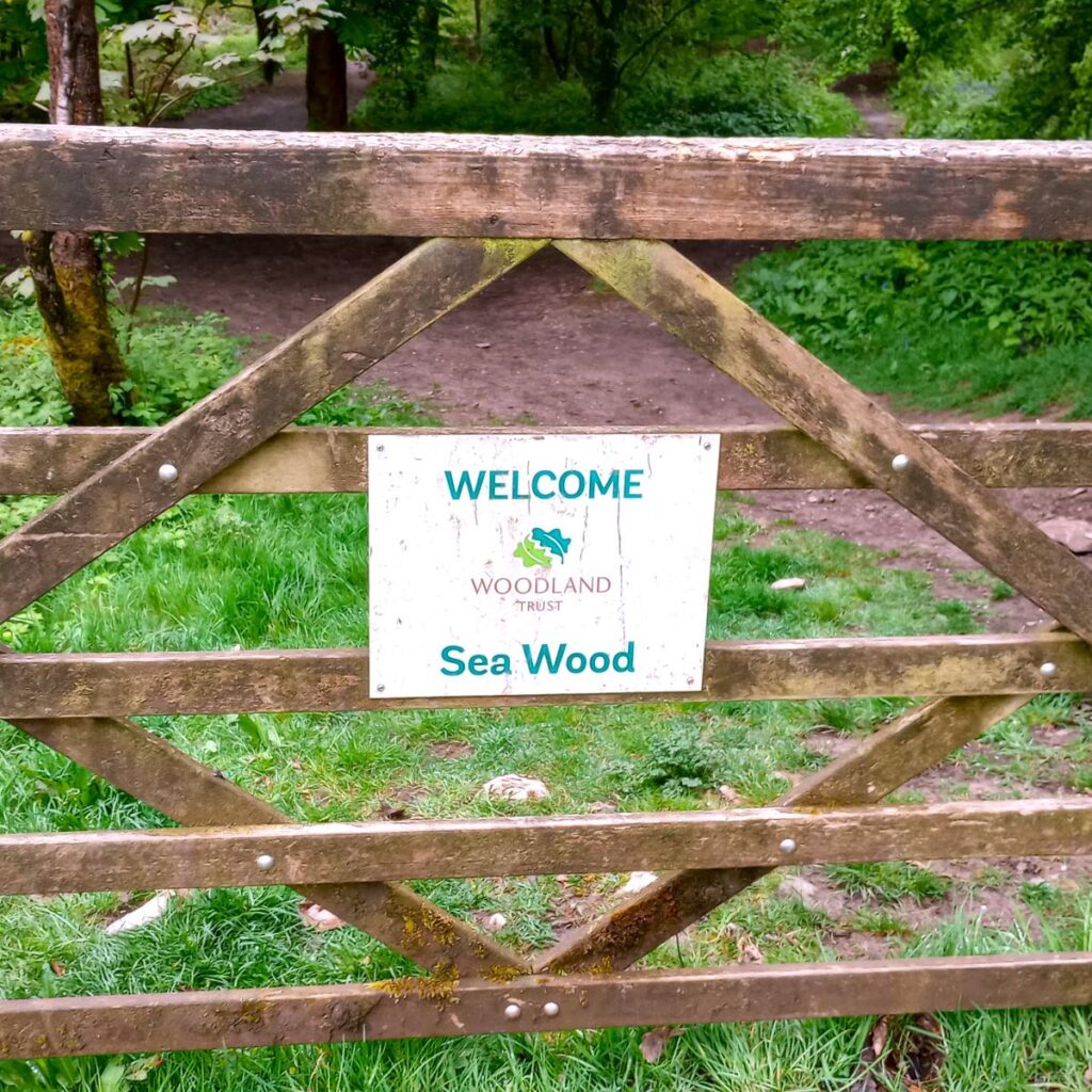
From the church we return to the main street via the lychgate and head left – retracing our steps for just 50m before we head right and slightly downhill on Well Lane passing the Malt Kilns village hall on our right, heading down toward Hag Wood.
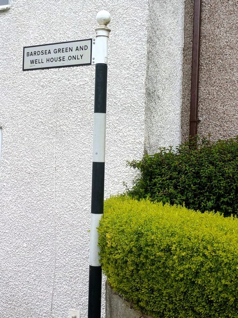
After about 150 m we arrive at a T junction. The road to the left heads toward Wellhouse farm, but we go right and follow the road up to Bardsea Green – a small cluster of houses, and an old school house now used as a residence, before the road becomes a track heading toward the common.

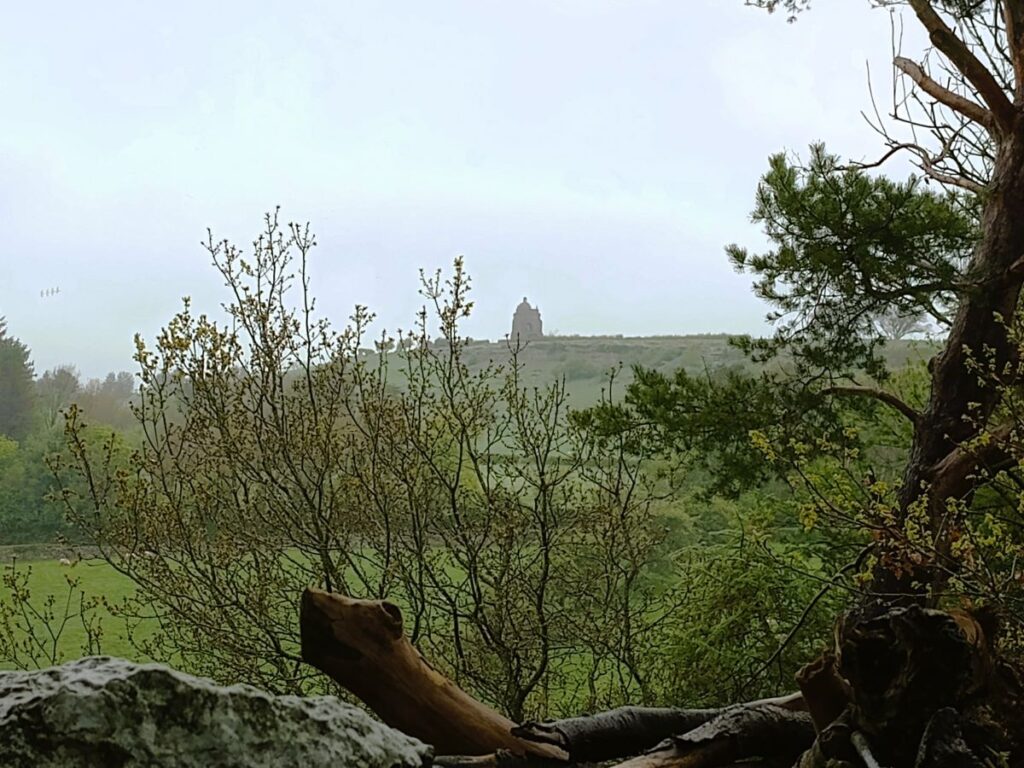
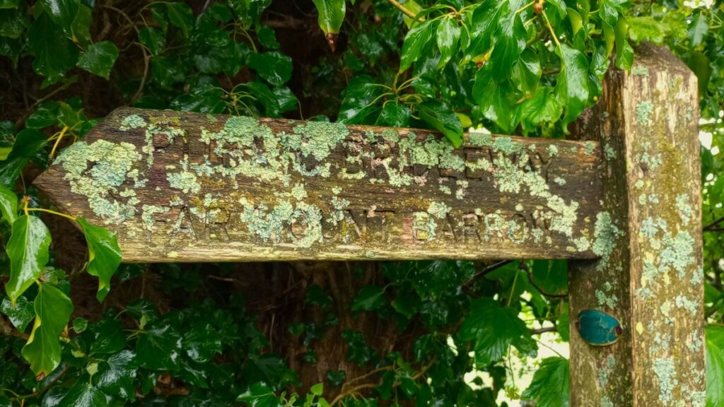
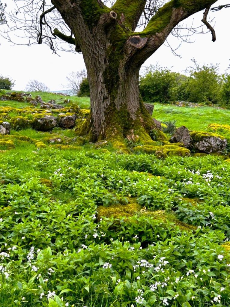
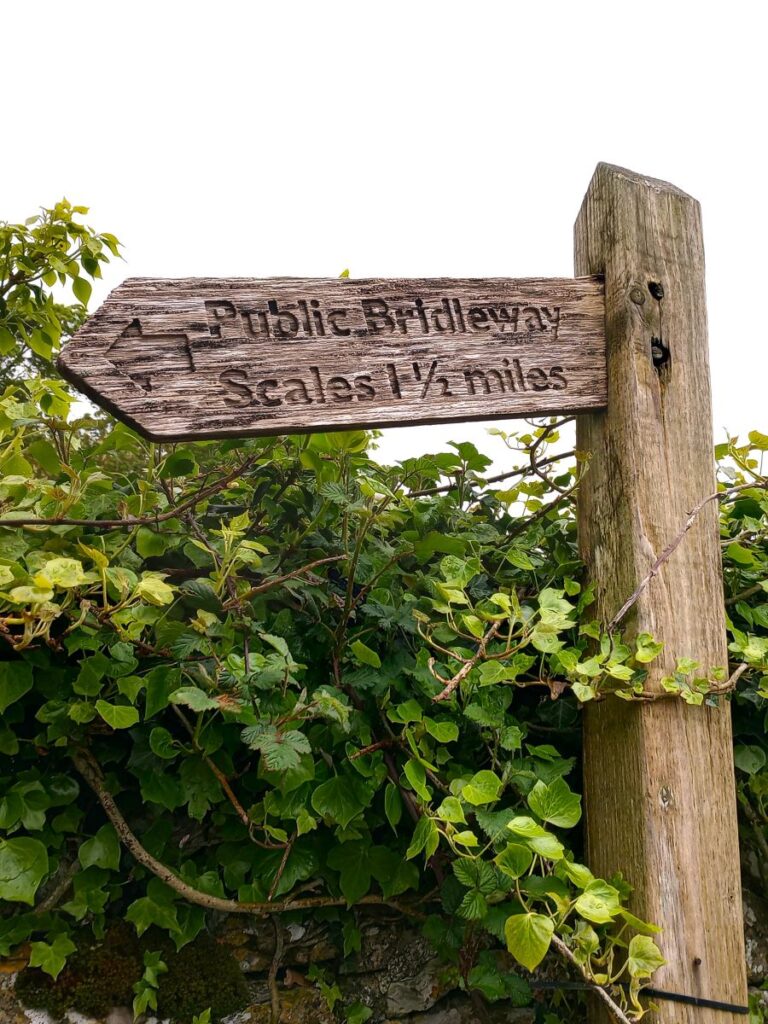
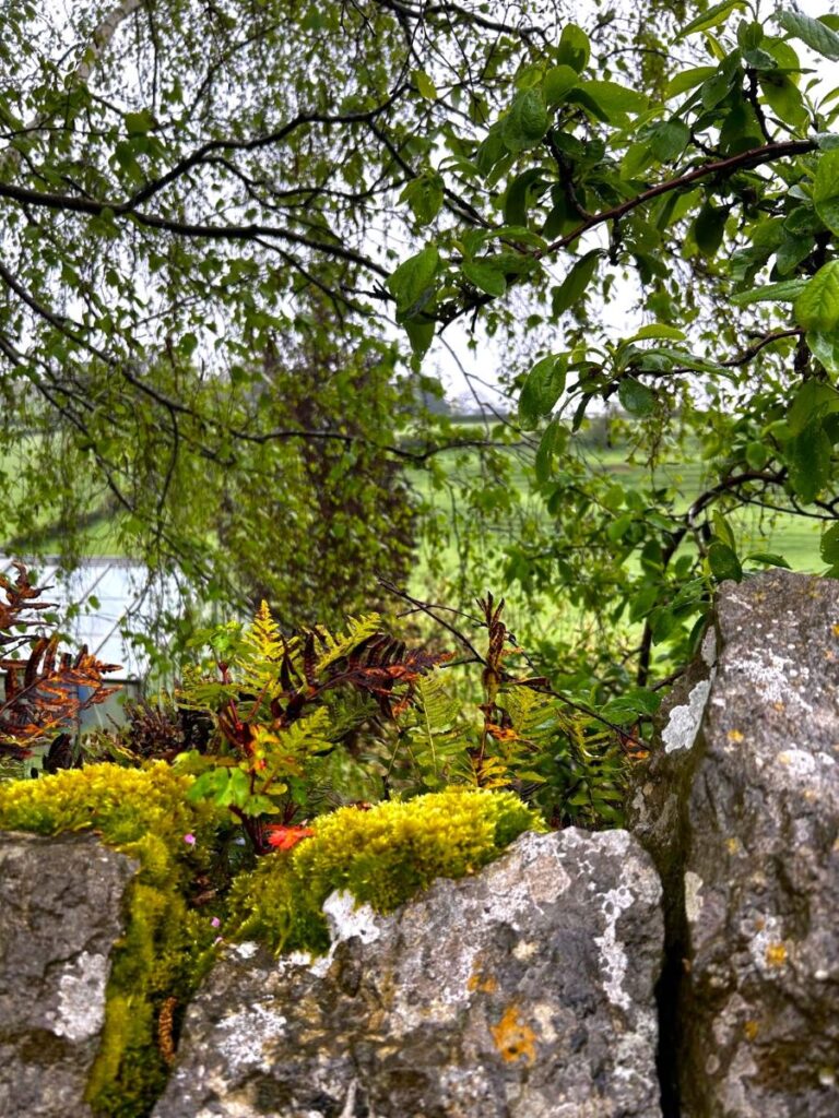
We pass one more house (on our right) than arrive at a green lane heading uphill over exposed limestone pavement – take care here if it’s wet. We now have Crook Wood on our right and through gaps in the trees we start to get our first glimpse of the curious folly known as the Bardsea Monument that was once a part of the now demolished Bardsea Hall. The monument is three sided – although that is not apparent from our viewpoint. It is of course tempting to have a closer look. However, there is no public footpath to the monument, although rumour has it that a route is available: click here to see more on that, or here to see details of the monument
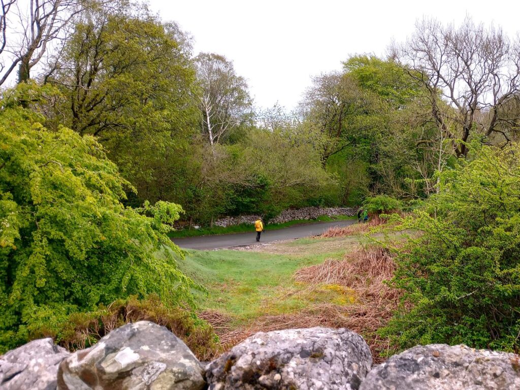
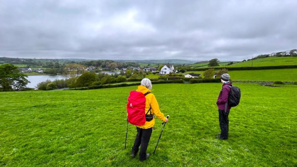
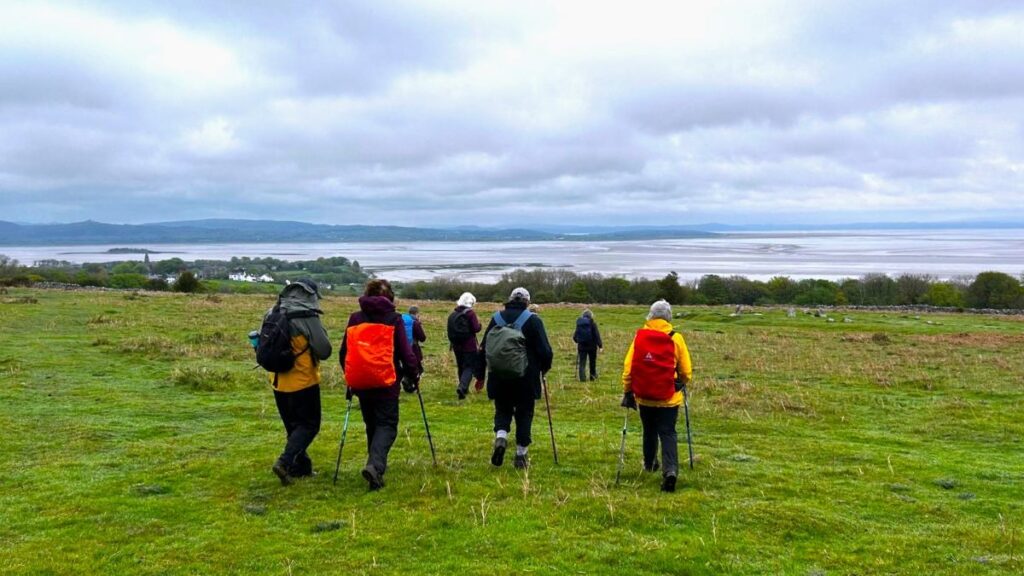
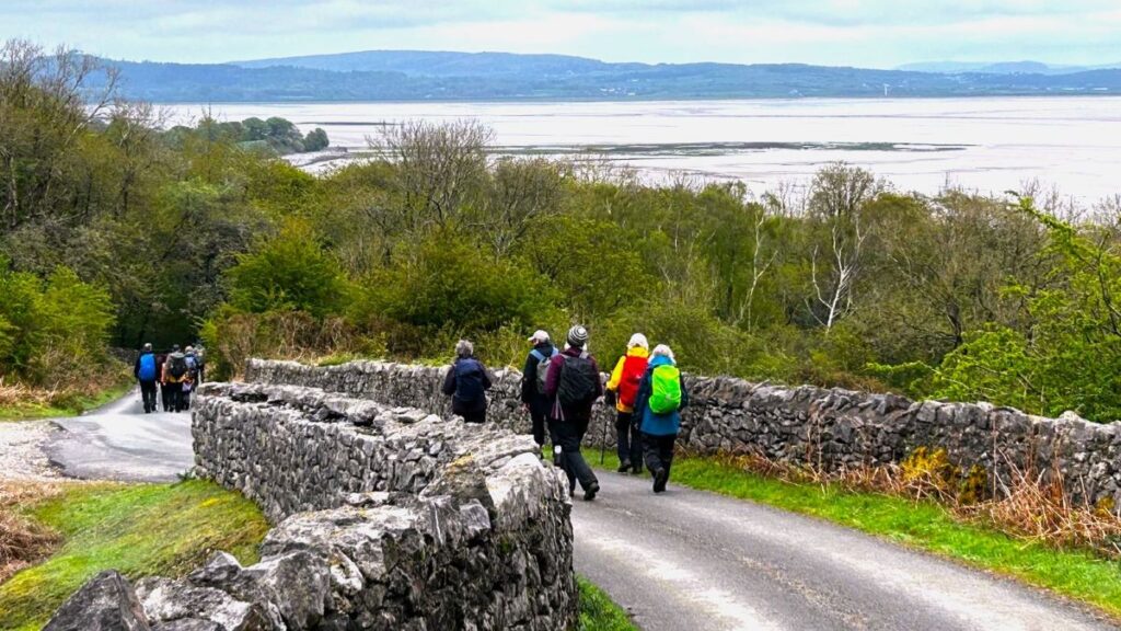
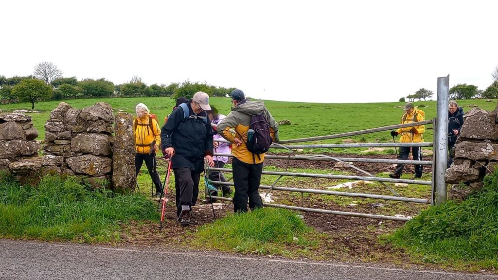
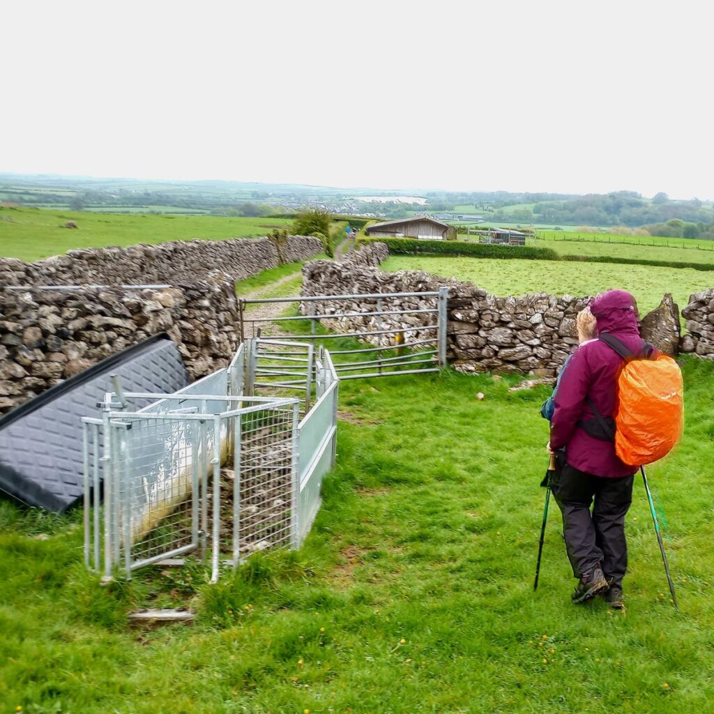
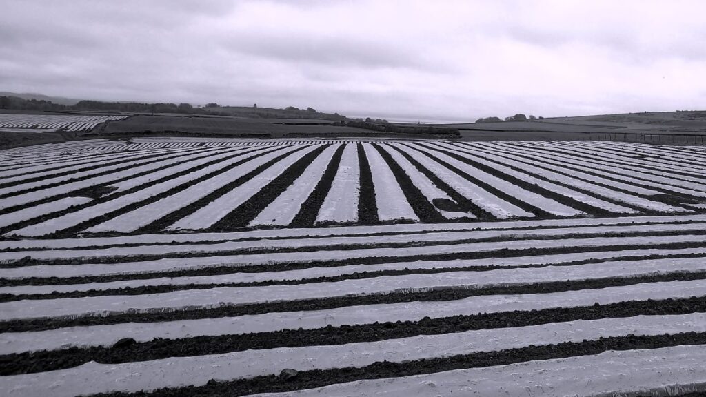
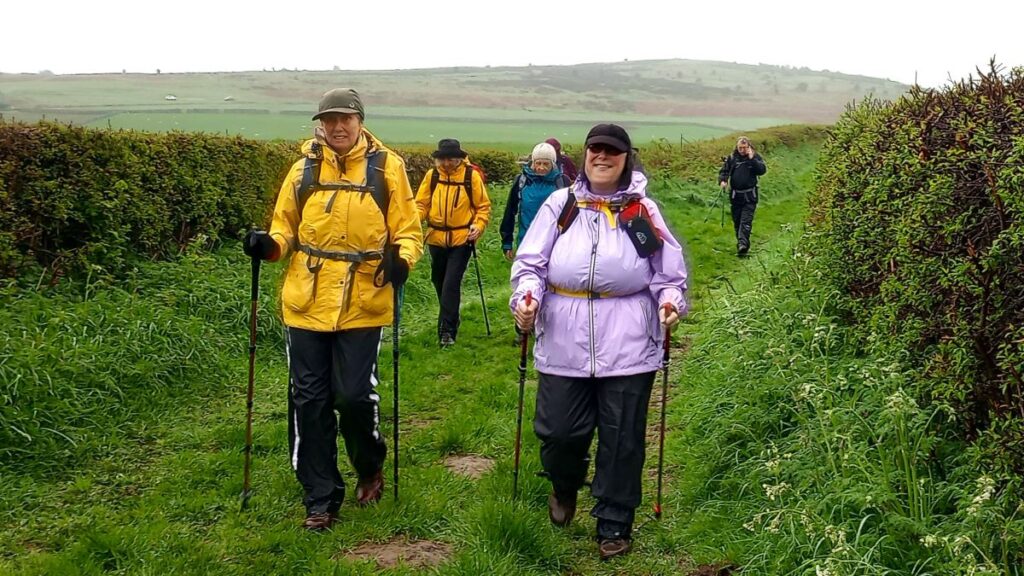
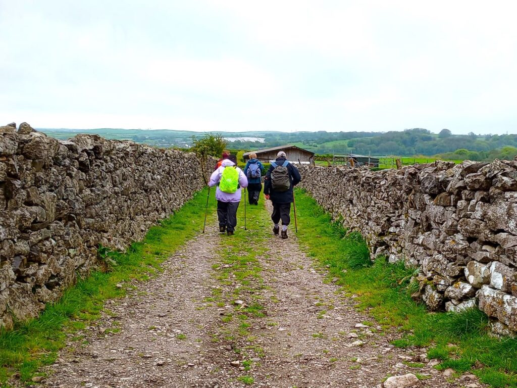
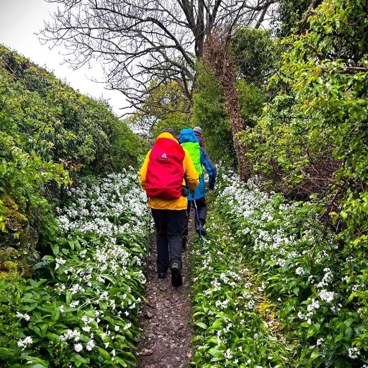
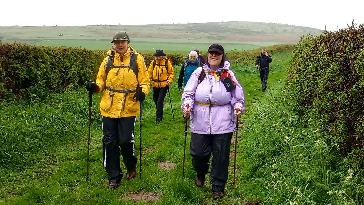
We follow the green lane uphill until we get to a gate where we enter the common – we are now on much more open land. The whole area is referred to as Birkrigg Common, and the hill – which is to our left as we enter is Appleby Hill. A glance at the OS map here confirms what our eyes tell us – the common is criss- crossed with a multitude of paths. This is a good thing of course – we have lots of choice and the walking is easy. It does however make it difficult to describe one definitive route.
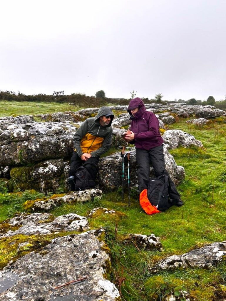
From the gate where we enter Birkrigg Common, we headed left keeping the wall on our left for about 200m before heading sharp right to contour around Appleby Hill now heading northwest. Taking the higher ground in this way gave us better views and an opportunity to find rocks to sit on for a morning break.
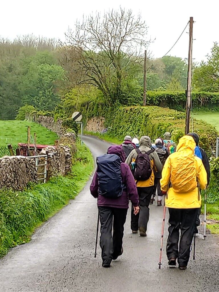
Our next clear landmark is the minor road over the common – known as White Gill Lane. Once we arrive there, we look for the green lane opposite which takes us north toward Ulverston. After about 700m walking on this pleasant track, we arrive at a minor road and head left. This is Red Lane – there is generally not much traffic but take care at all times.

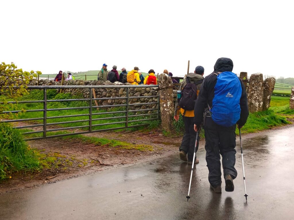
200m ahead of us is a crossroads, and as we approach we notice the first of today’s potential ice cream stops: On the left is Cumbrian Cow Ice Cream, where gelato style ice cream is made using milk from a pedigree Holstein herd. There is parking and picnic seating when the fields are dry and a drive through option when they are not.
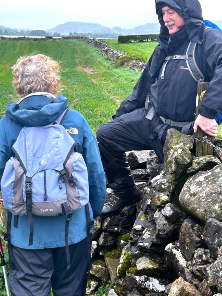
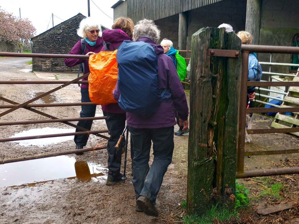
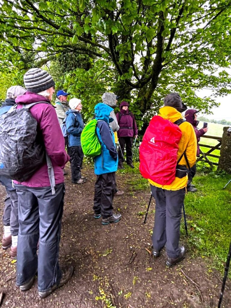
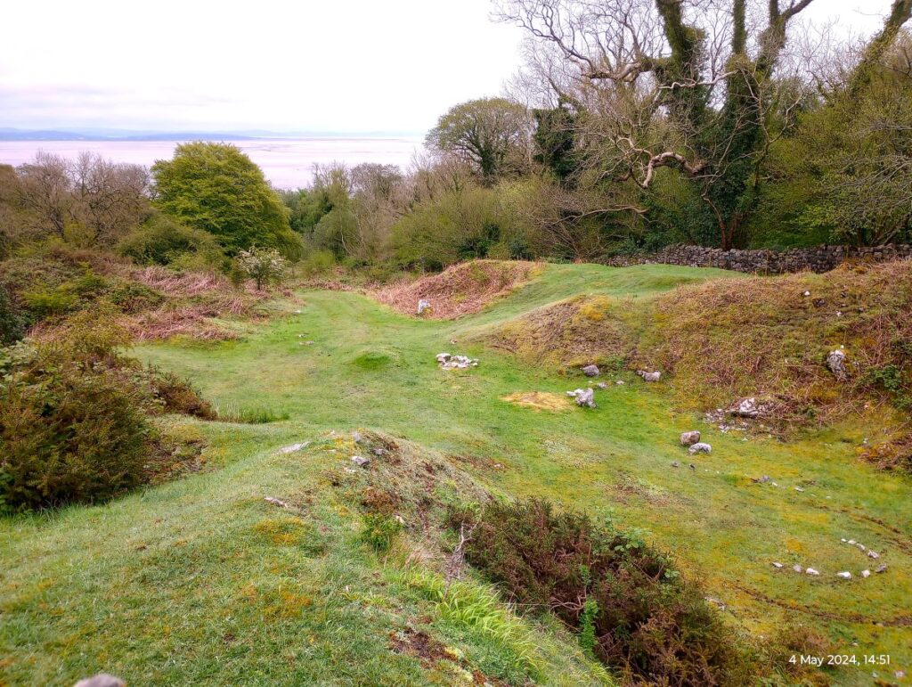
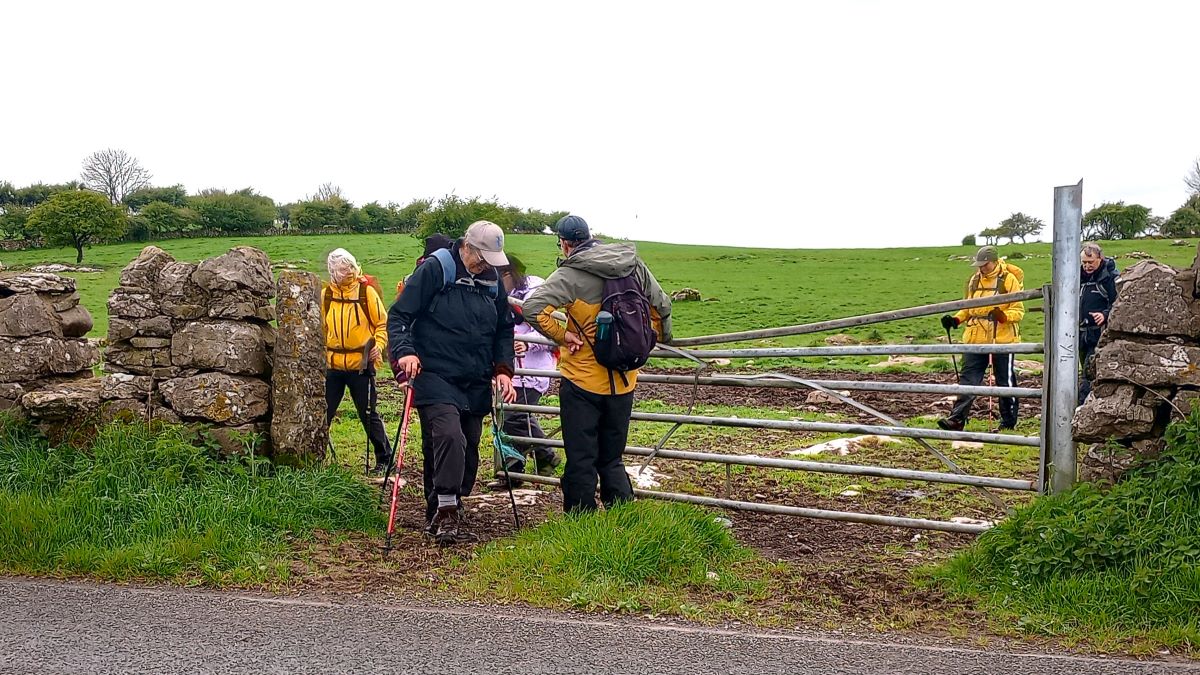
We continue straight at the crossroads heading west for a further 500m until we arrive at a second crossroads. At this point we need to look for a waymarked path heading south – this is on our left as we approach. From here we are in quiet fields again and walk along the field edge for the next 200m, and then arrive at a couple of stiles which take us into the next field where we continue south with a small hill ahead and slightly to our right. Take care here- both stiles are in need of maintenance.

On the OS map the hill is shown as the site of a fort. Feel free to wander away from the designated path to explore this, but do not expect to find any tangible evidence of whatever structures once stood here. Reading the visual evidence of ancient structures is something of a skill – not one that we possess, so for more information on what archaeologists believe once stood here visit this site
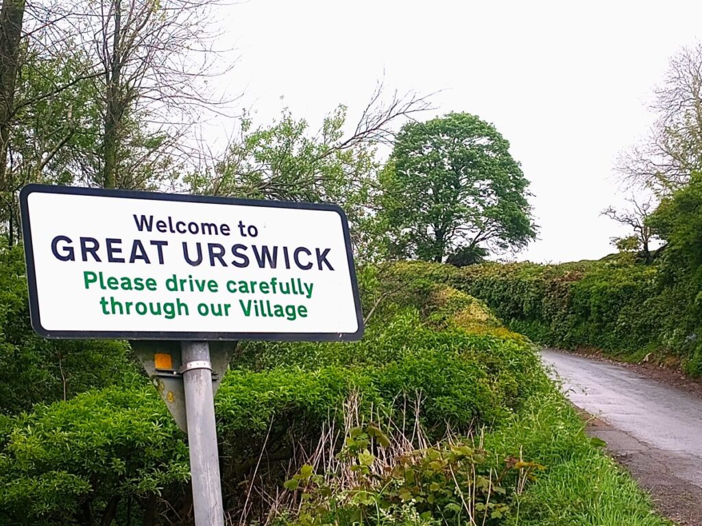
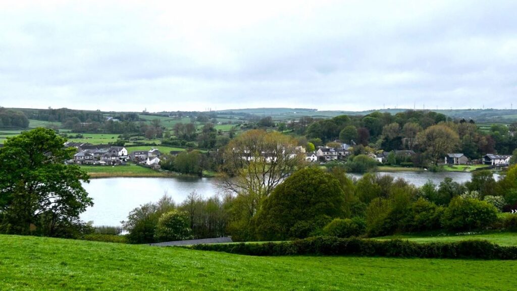
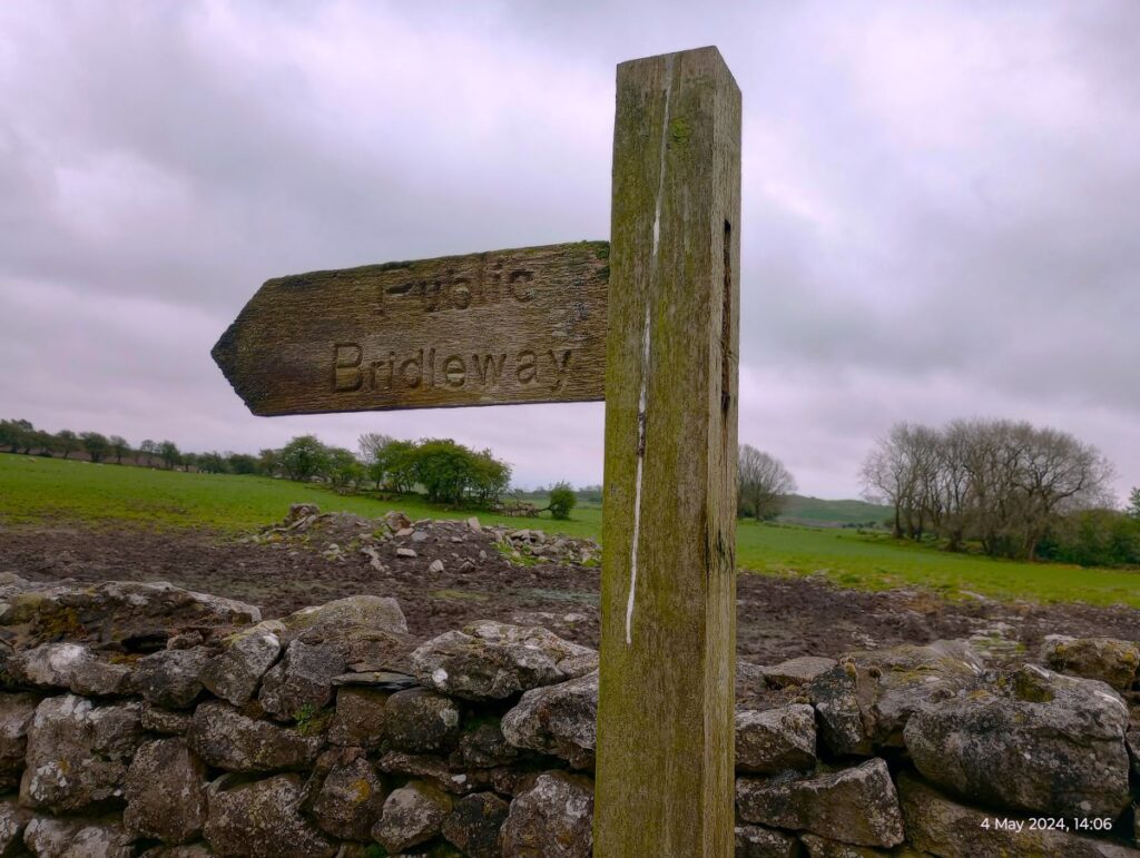
We continue south, and soon approach the head of an enclosed lane which we follow down into Urswick. Once on that lane, you may notice a way marker for a footpath on the right – this also goes to Urswick, so is a viable option – we stay on the lane because it gives us better views of the tarn.
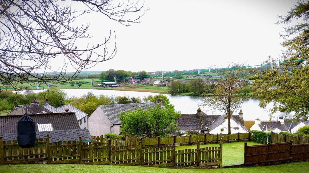
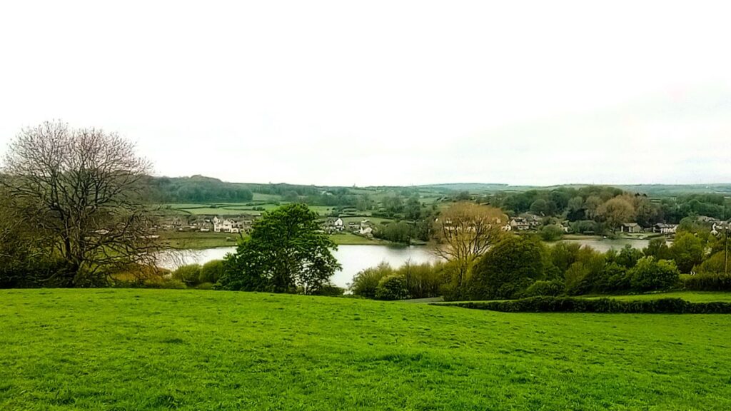
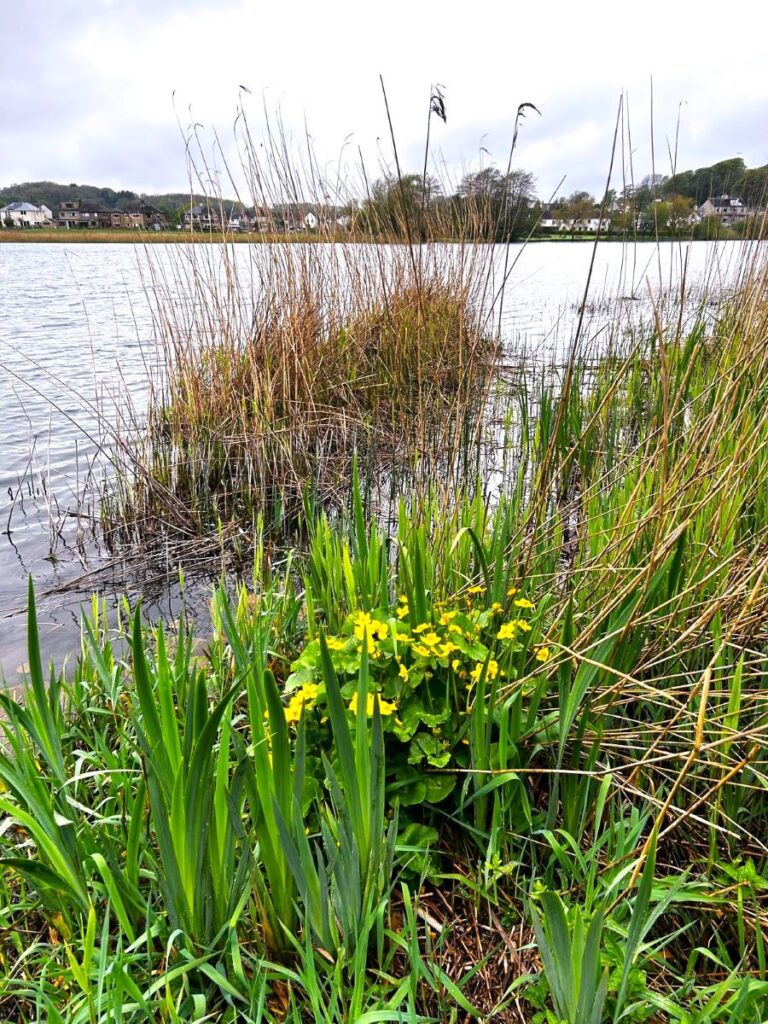
We follow the lane downhill for about 400m and then arrive at a minor road – the last section is very steep. Once at the road we head left and then after no more than 30m turn slightly to the right to take the small road down to the tarn, which we soon find on our right. This is a great place to pause and have lunch – there are a number of benches and picnic tables to choose from.
If you wanted to read more about Urswick whilst having your lunch, try this link.
After lunch we can either climb the steep bank ahead, and then head right as if following the road out of Urswick back toward Bardsea, or head further round the tarn perimeter and then up the road on the left. Once on the road look for a whitewashed house on the inside of the bend, where we take a clearly signed footpath on the right. This takes us through a field, and uphill so that we now have a better view of the tarn and the whole of Urswick.
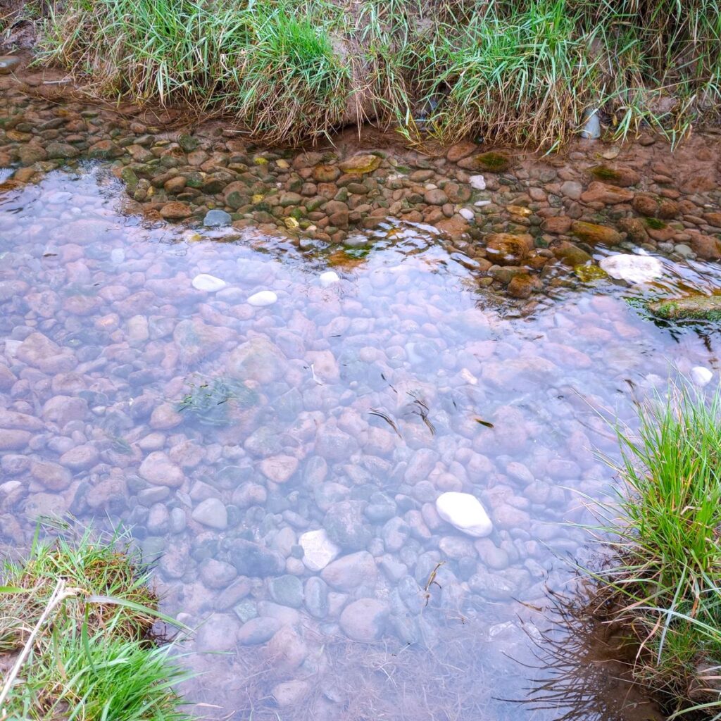
Urswick as a civil parish includes both Great Urswick (to our right from this vantage point) and Little Urswick (to our left). The tarn is fed from the surrounding hills and feeds Gleaston Beck to the south, the water often has a red hue due to the iron content of the surrounding land. Little Urswick, the smaller of the two settlements, stands further south on the lower slopes of a limestone outcrop known as Bolton Heads.
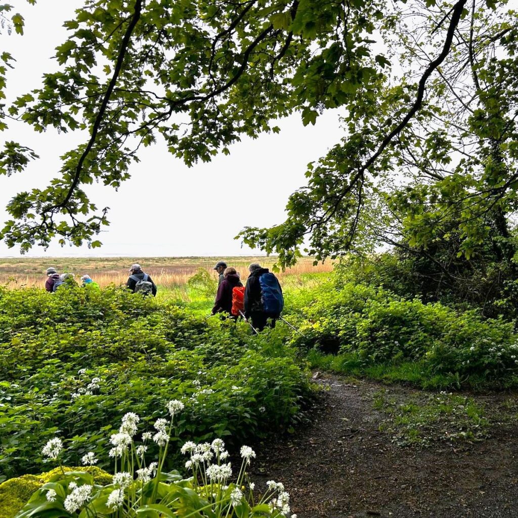
From here the path is somewhat indistinct, but essentially, we head due south for around 1 km. Apart from the climb through the first field, the terrain is reasonably flat, and at all times we stay just above the woodland at Holme Bank plantation, then as the plantation ends we continue in the same direction toward our next landmark a minor road – we need to aim for the metal gate which accesses the road – there is a stile next to it for pedestrian use.
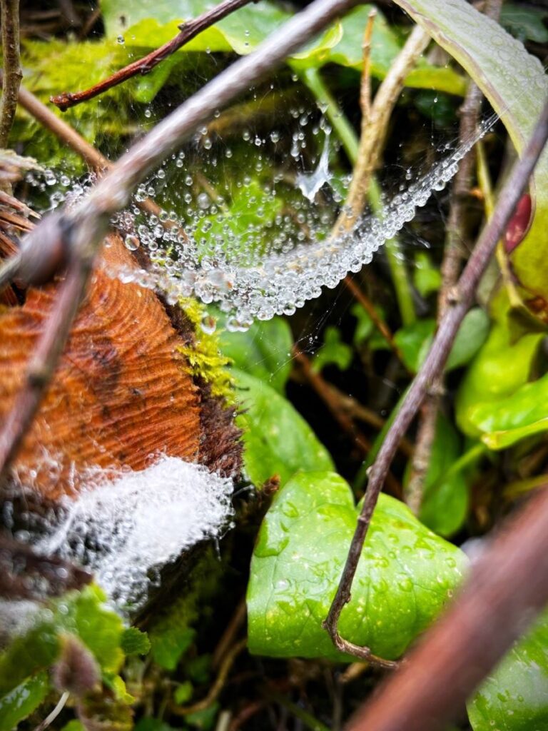
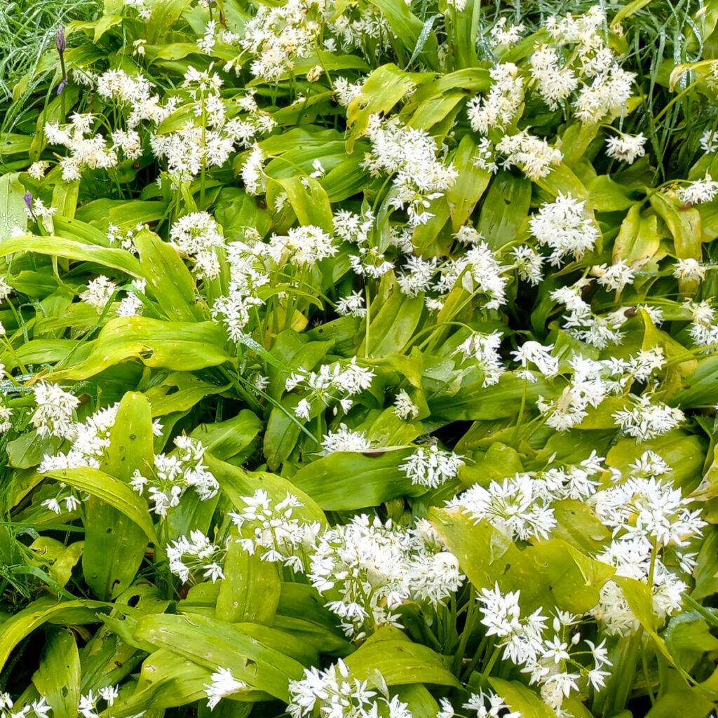
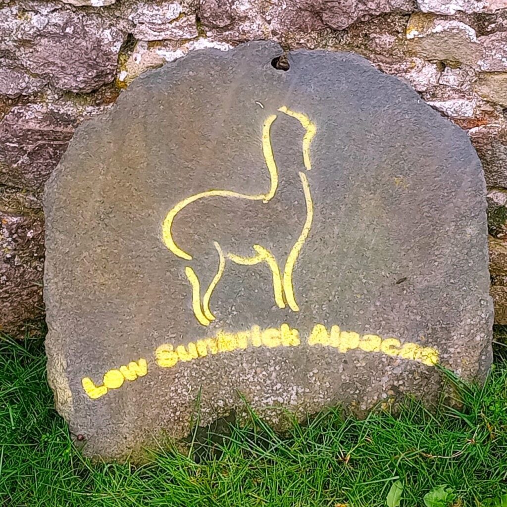
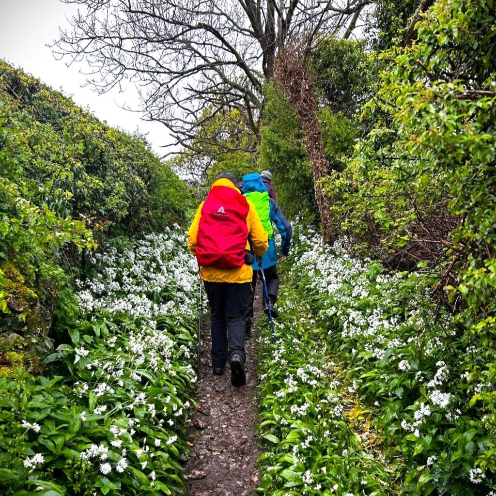
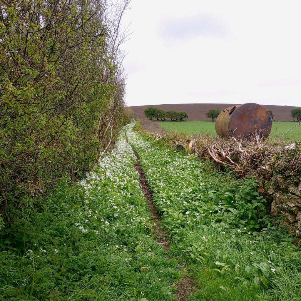
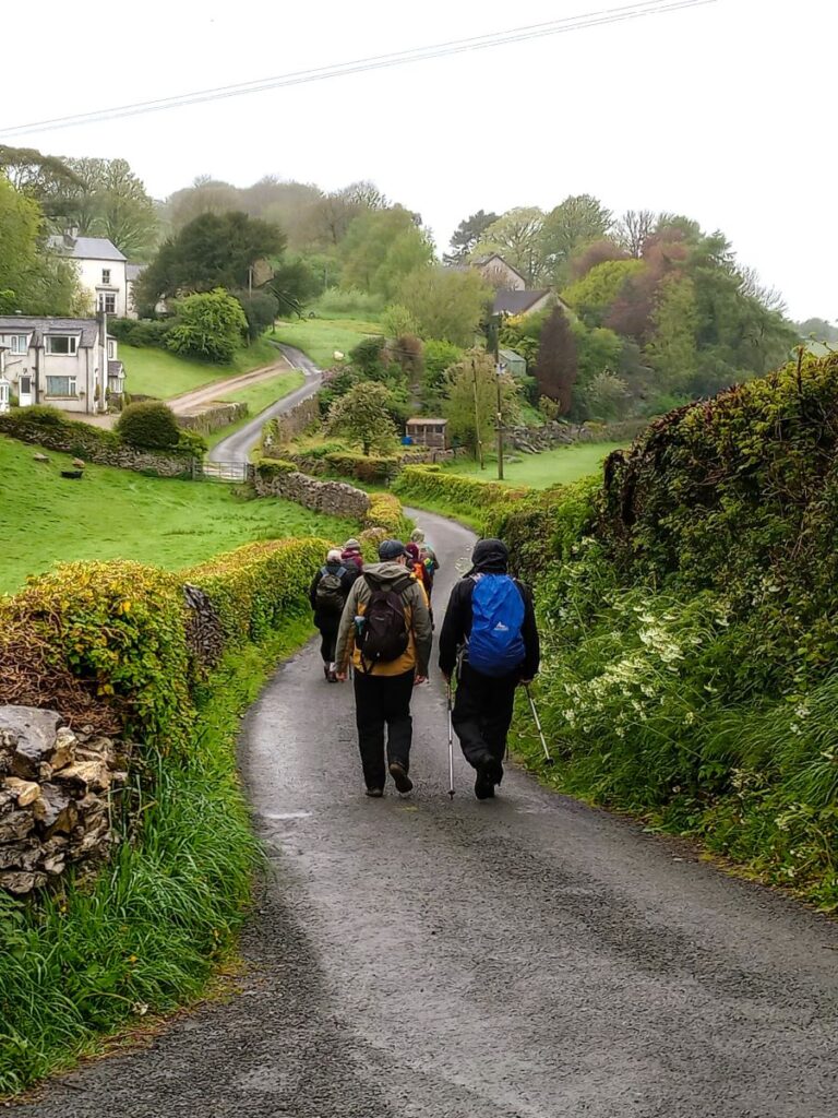
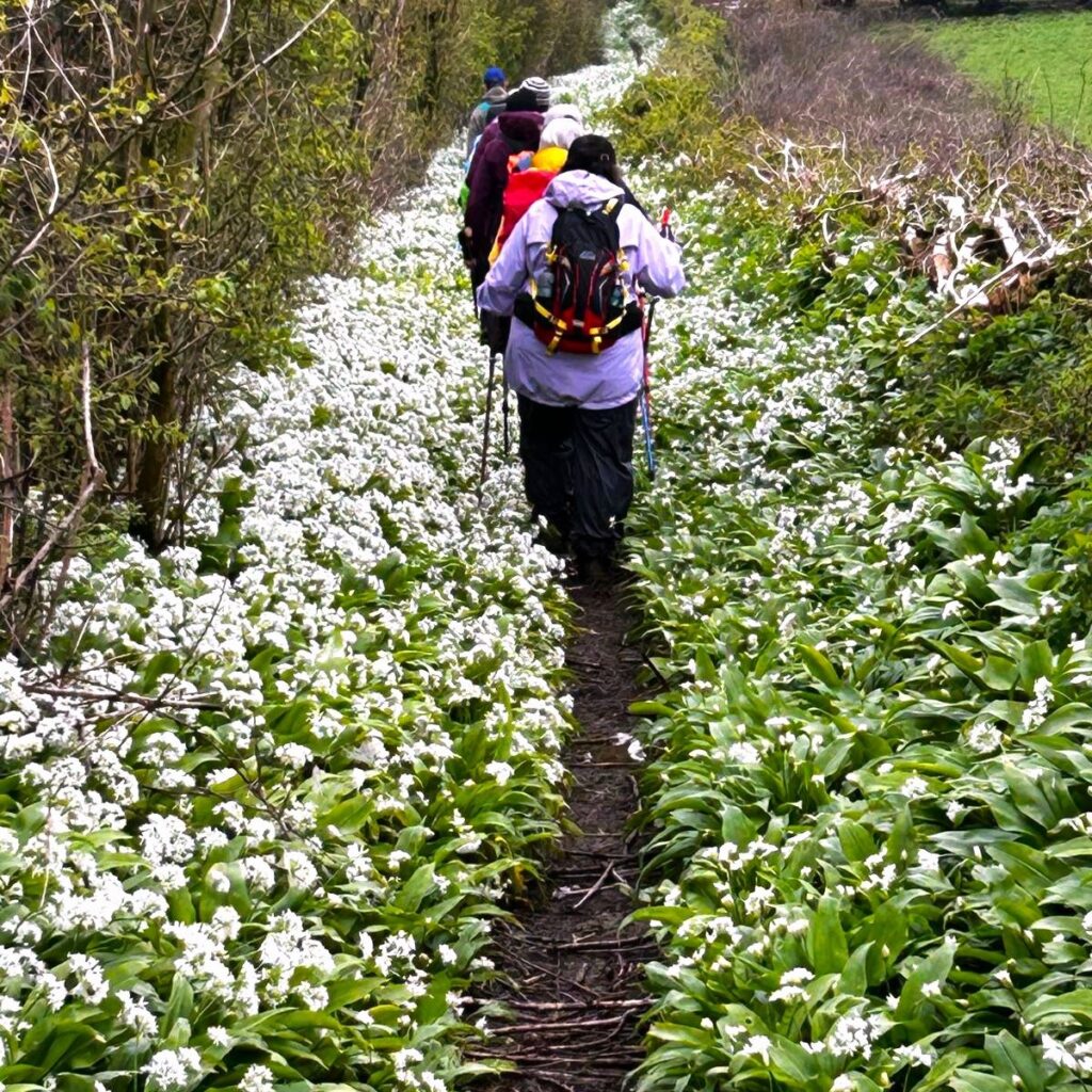
Almost opposite the gate is a green lane, carpeted in wild garlic when we undertook the walk. We follow this lane for 1 km until it bears left and arrives at a farm in Sunbrick. The path continues through the farmyard and then we pick up the road following it downhill though a couple of bends (first to the left then back to the right).
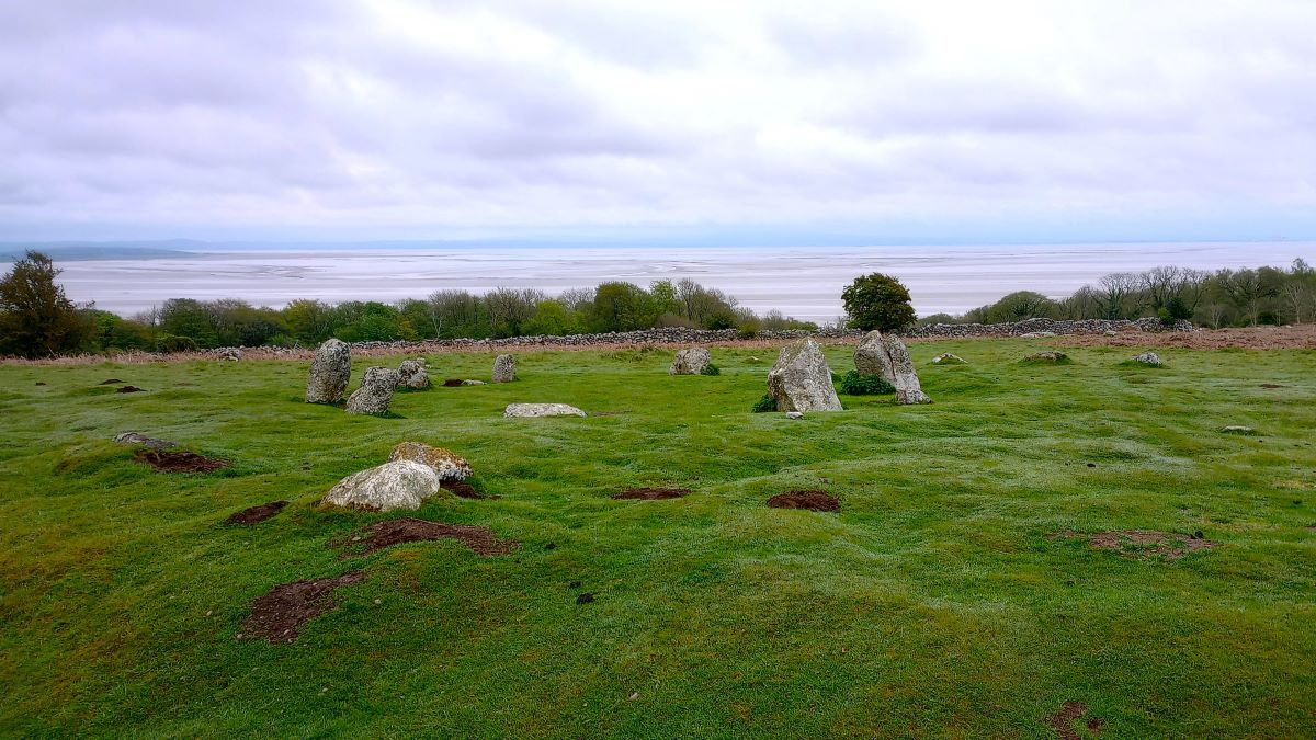
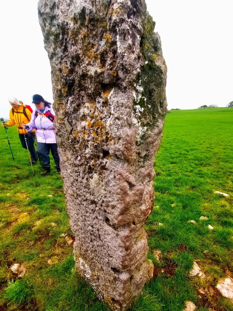
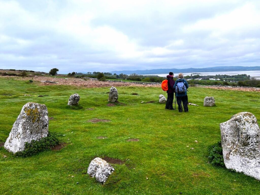
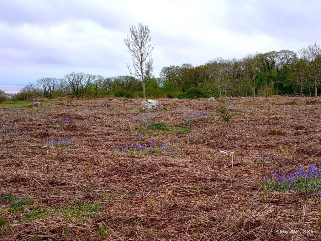
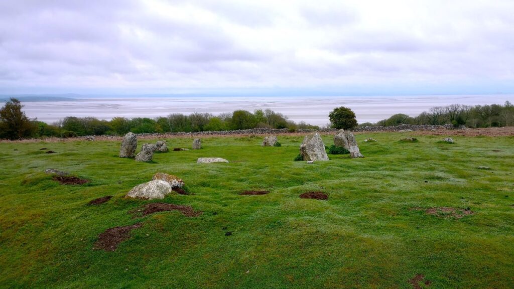
At this point, the terrain will look familiar – we are back at the common, and not far from where we were this morning, so expect to see paths heading off in a myriad of directions. We stay with the road for a short while until about 150m past the second bend we see a path heading off diagonally on the left. We follow this for 200m, which brings us to a stone circle referred to locally as the druid’s circle.
Also known as the Birkrigg Circle, this Bronze Age structure dates to between 1700 and 1400 BC. It consists of two rings of stones, the outer measuring 26 m and consisting of 15 stones and the inner being 9 m wide and consisting of 10 stones. None of the stones is more than 0.6m tall.
Limited excavation within the inner circle in 1911 found an upper and lower pavement of cobbles. Below the lower layer of cobbles five cremations were uncovered, three in pits, one on a layer of cobbles and one covered by an inverted urn. A second excavation in 1921 produced a few small stone implements which archaeologists thought might be a pestle, a palate and a piece of red ochre, and which might therefore have had a ceremonial use. Materials from those excavations are now displayed in Carlisle Museum. Click here to find out more
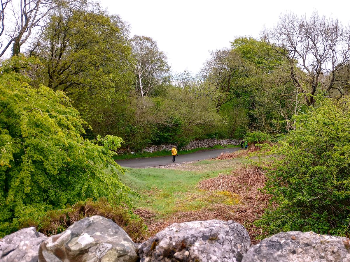
From here we head back to the minor road and follow it back down to the A5087. Again, there are many paths we can choose from to do this, so don’t be too concerned about following our exact route. Be aware though that many of the paths are used by cyclists.
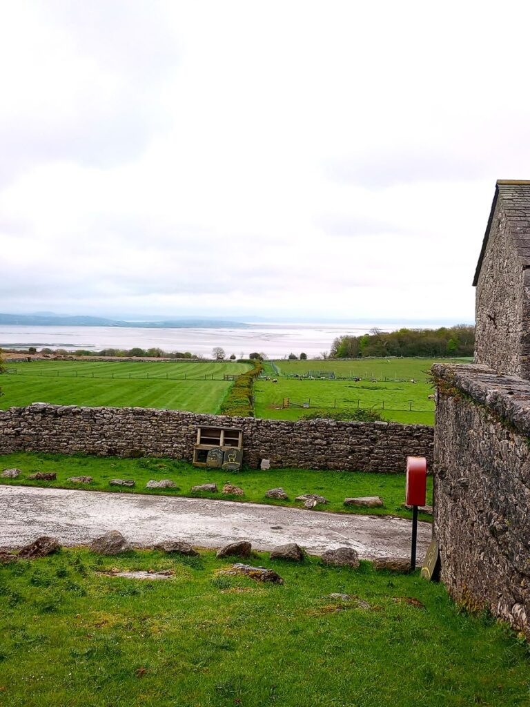
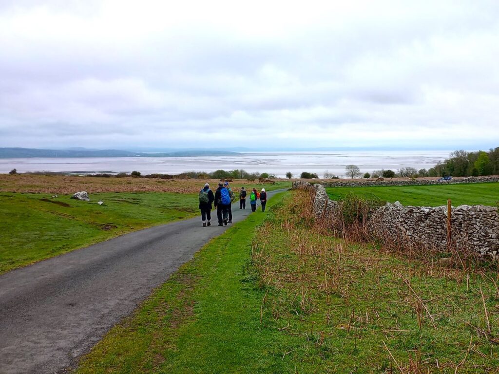
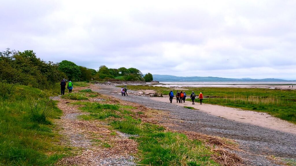
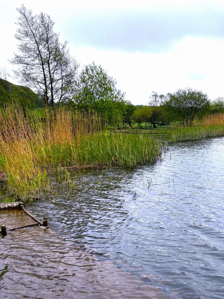
At the main road we need to cross and take a path onto the foreshore. This requires some care as the road can be busy, and visibility is not good here. However, the care we need to exercise here is repaid by a great view across Morecambe Bay when we reach the shore – and in front of us are wetlands rich in birdlife, so a pause to use the binoculars or the Merlin App may be required.
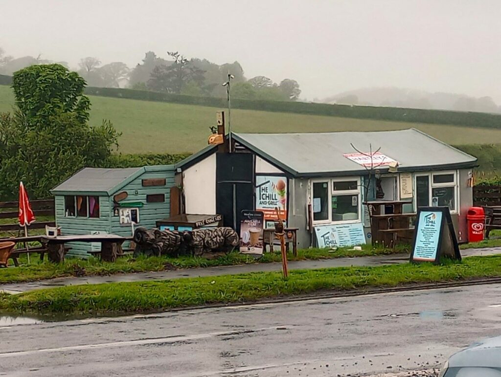
We end the walk by turning left and heading along the shore for 500m back to the cars, where we may notice a further ice cream opportunity – the Chill & Grill Ice Cream hut. There may also of course be traditional ice cream vans at Bardsea beach.
Total distance is a fraction below our 12 km threshold to make this a “moderate” walk so although we show it as “easy” be aware that under harsh weather conditions it may feel more challenging.