Jump to . . .Step by Step | OS Map | Downloads | Gallery | Fly through
Sometimes our program works out such that we are in the same area for two consecutive walks – and that’s the case this time. This walk is at times no more than 200m from our recent Winster Valley walk, and at first we though that must be why a couple of locations looked familiar – we later realised that it is becase our equally excellent route at Lord’s Lot used a short section of the same paths from Spigot House to Bow Mabble Breast.
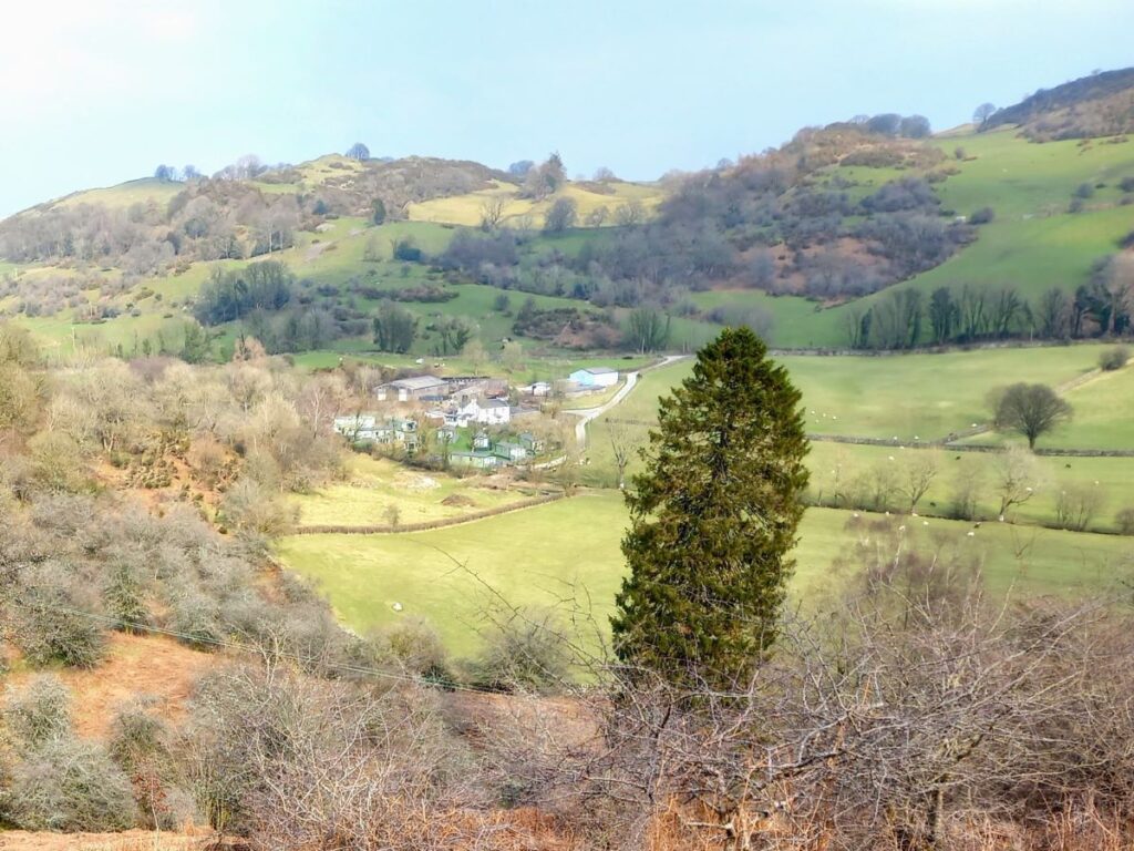
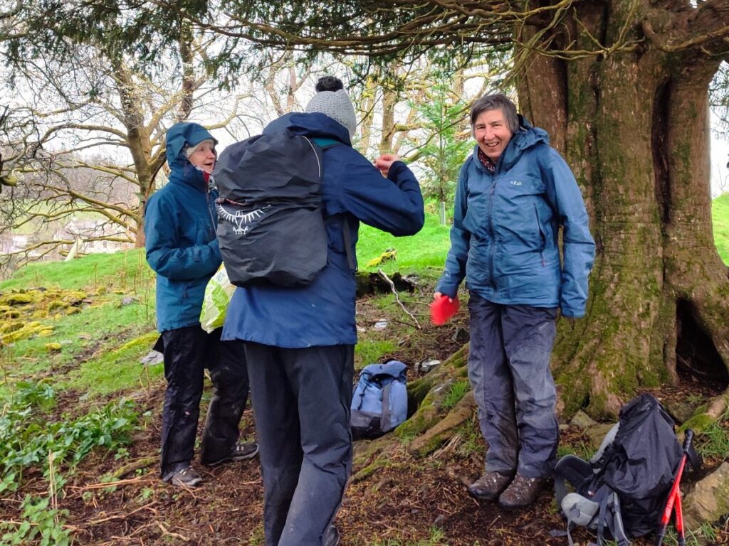
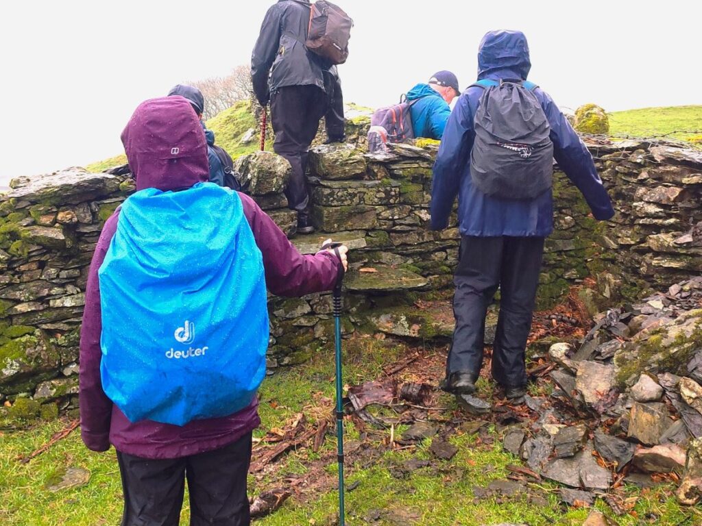
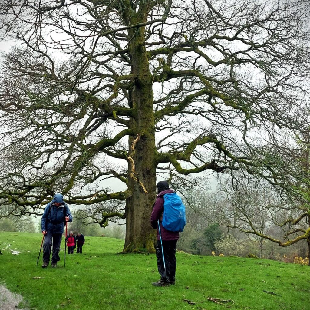
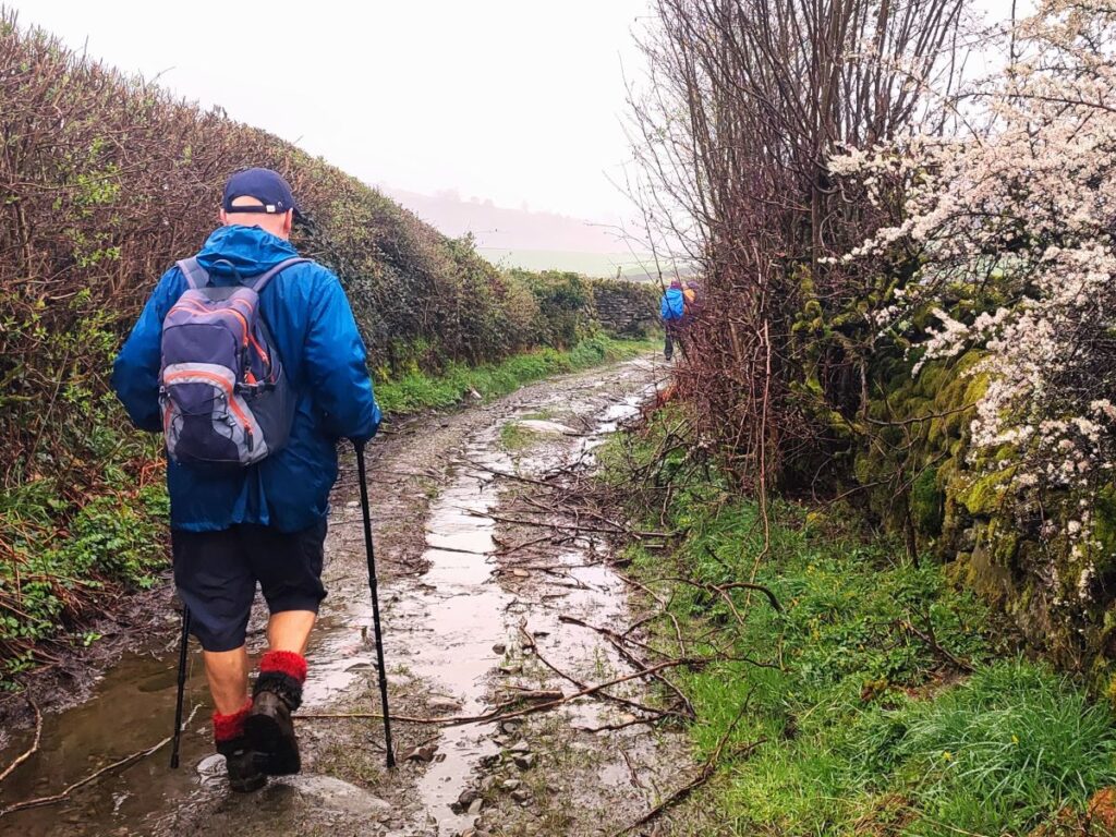
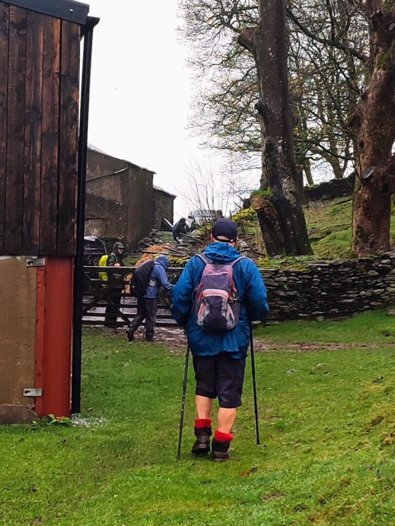
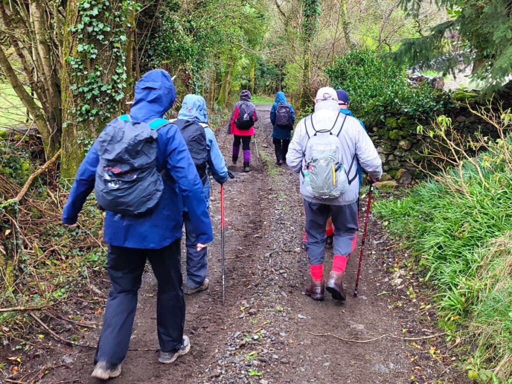
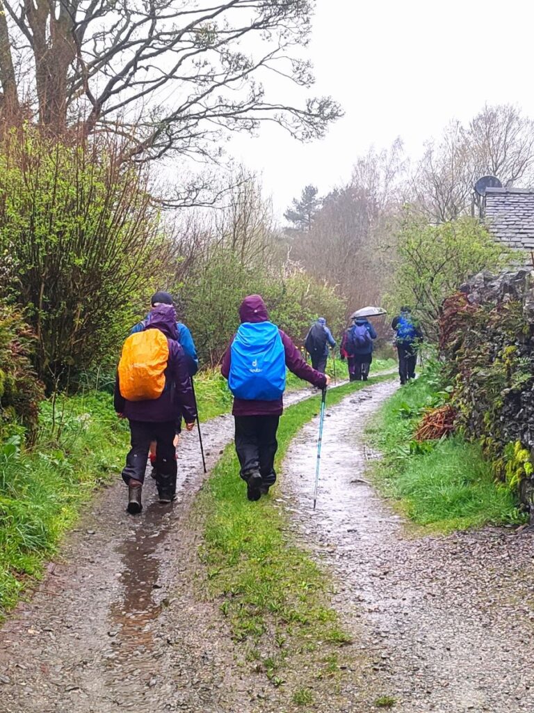
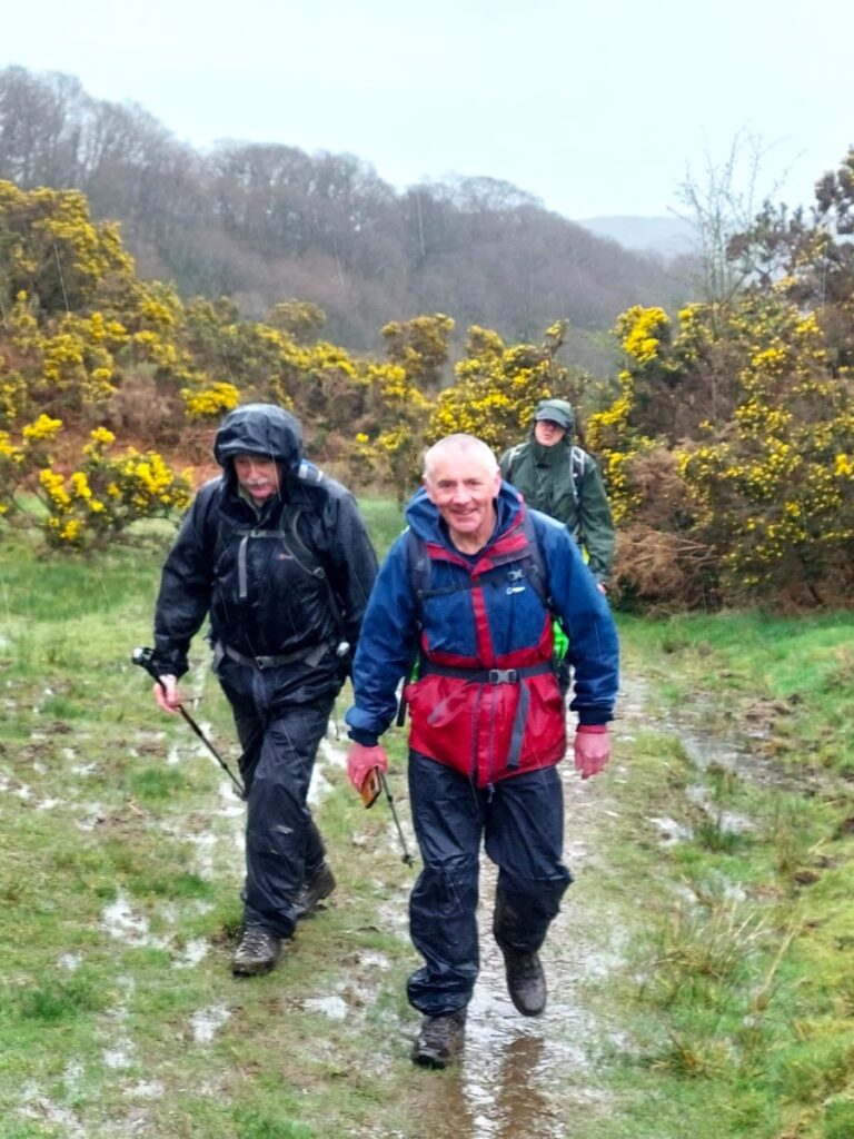
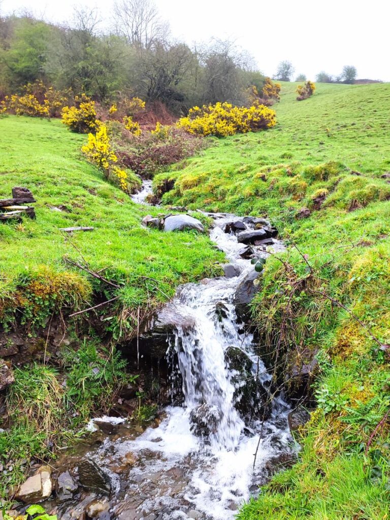
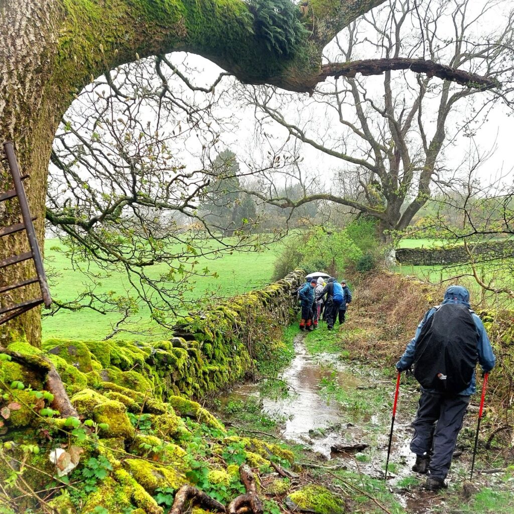
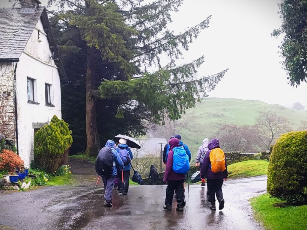
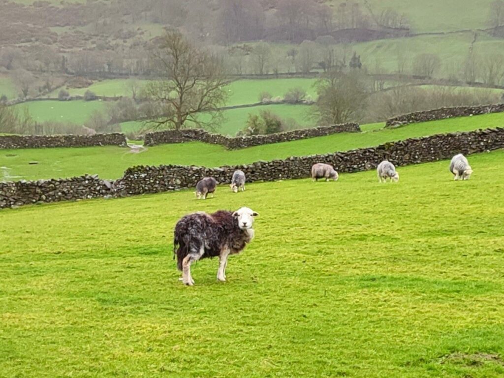
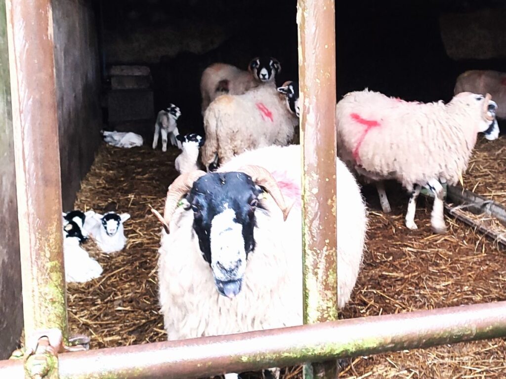
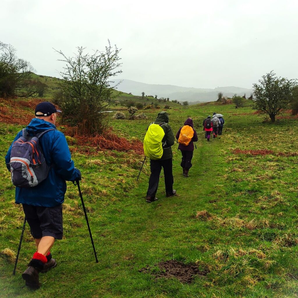
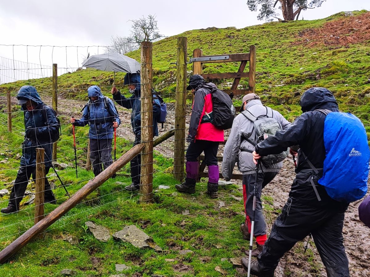
What does separate this walk from the earlier Lords Lot walk is the weather – we were rather unlucky this time. Despite that, there is much to recommend this walk – easy parking, rivers and tarns, woodland, working farms and some great views. Even in the rain it’s well worth the effort.
- Total distance 10.2 km (6.3 miles)
- Total ascent 393 m
- Easy walk
Step-by-Step
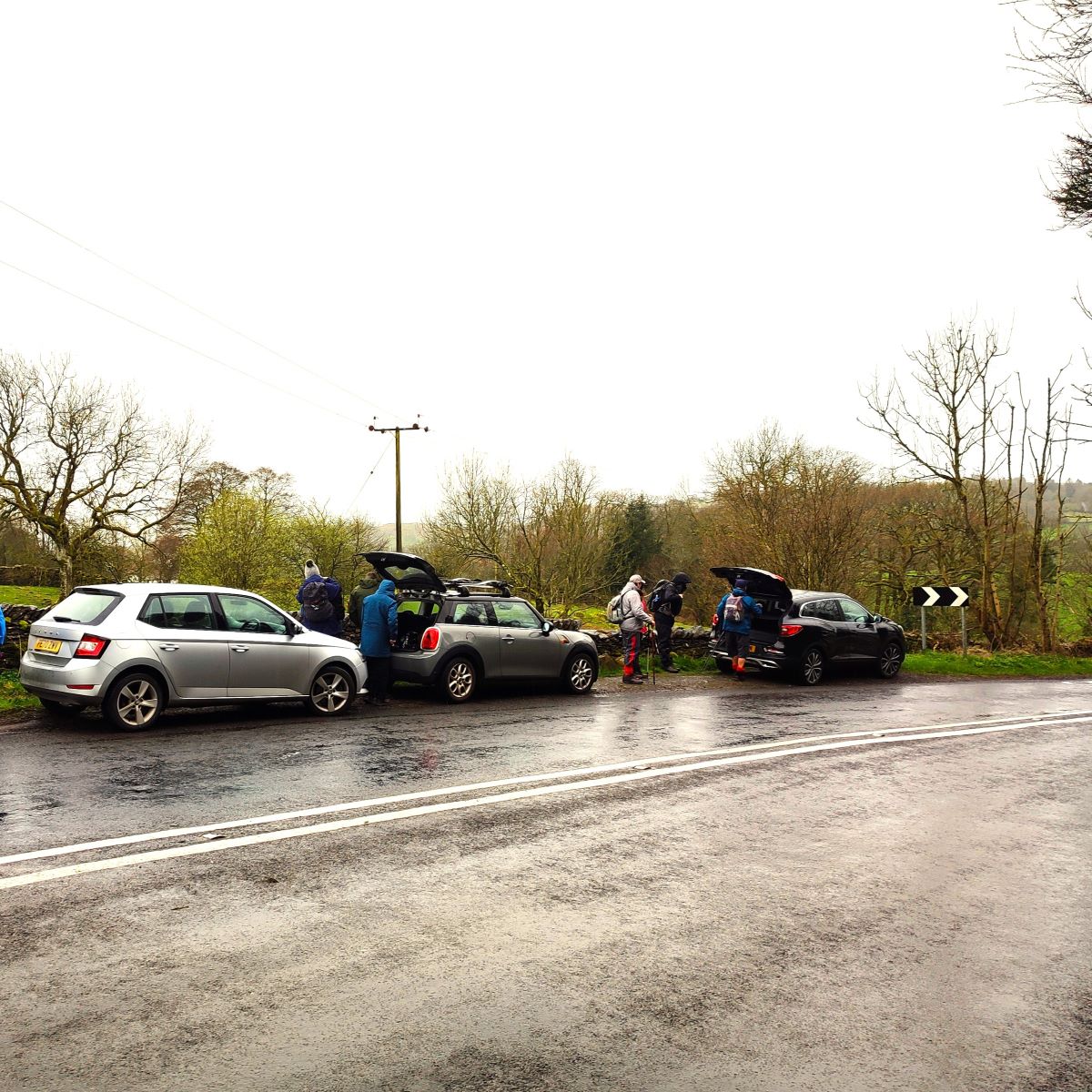
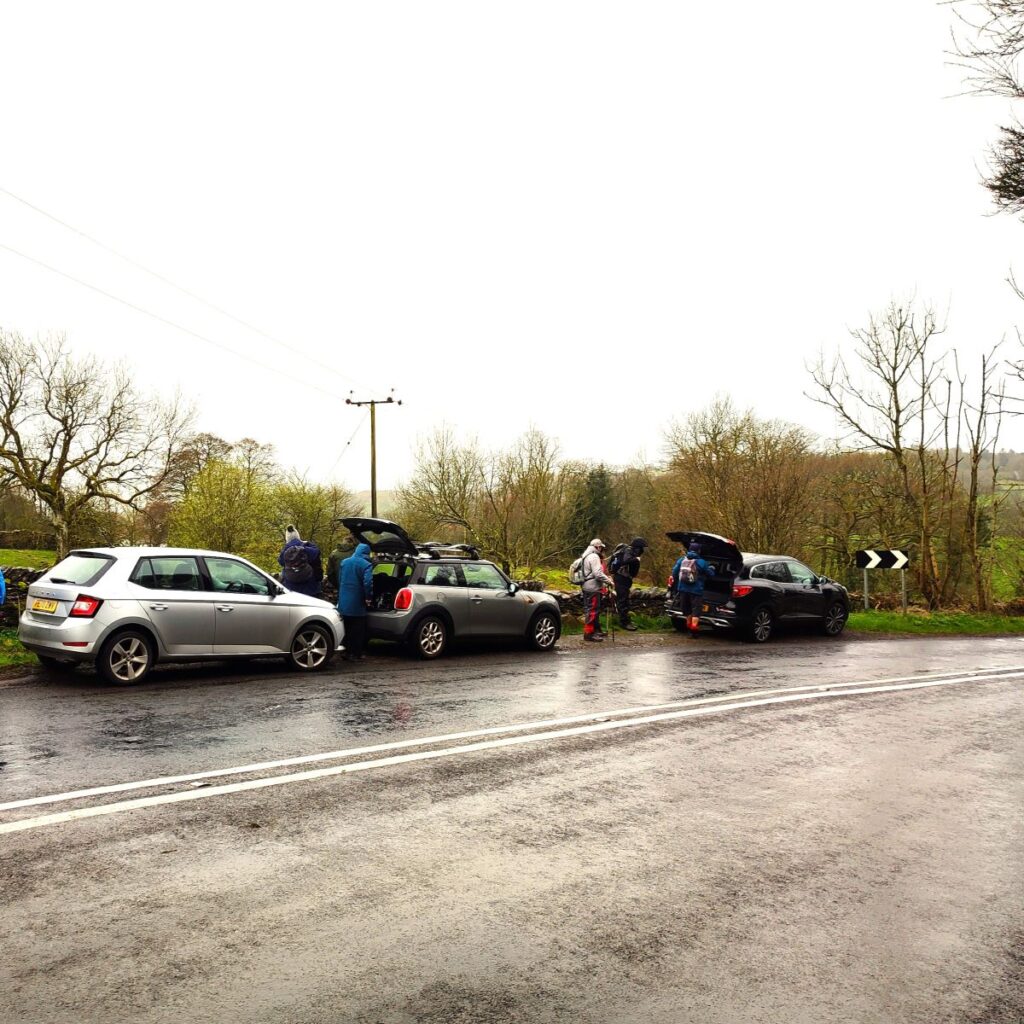
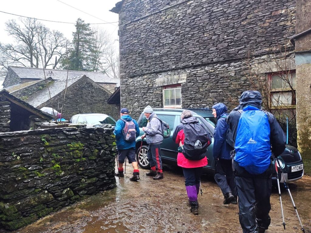
We start from a layby at the side of the B5284 which runs between the A591 and Bowness. This is best approached by taking the A591 to the Plumgarths roundabout to the Northwest of Kendal and then following the signs for the Bowness ferry – this takes you onto the B5284 – so the only difficult part of the navigation is finding the exact starting point. To do this, we need to drive around 3 ½ miles: Go through Crook, then continue past the memorial hall (on the left), St Catherine’s church (also on the left) then after a further ½ mile, look for a bend to the right where the road starts to go down a steep slope. The parking is on the left hand side of the road before the bend and the white cottages – if you see the Wild Boar Hotel, you have just a little bit too far. The OS grid reference for the layby is SD43779510, whilst the what 3 word tag is nosedive.rail.heartache. If you are using Satnav, then try Crook Rd, Kendal LA23 3NF, but be aware that this covers a large area.
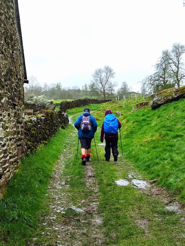
Having parked up and (in our case) donned every item of wet weather gear we could think of, we walk along the left hand side of the road in the direction of Bowness for a few metres to pick up a track on the left heading downhill toward Gilpin Farm.
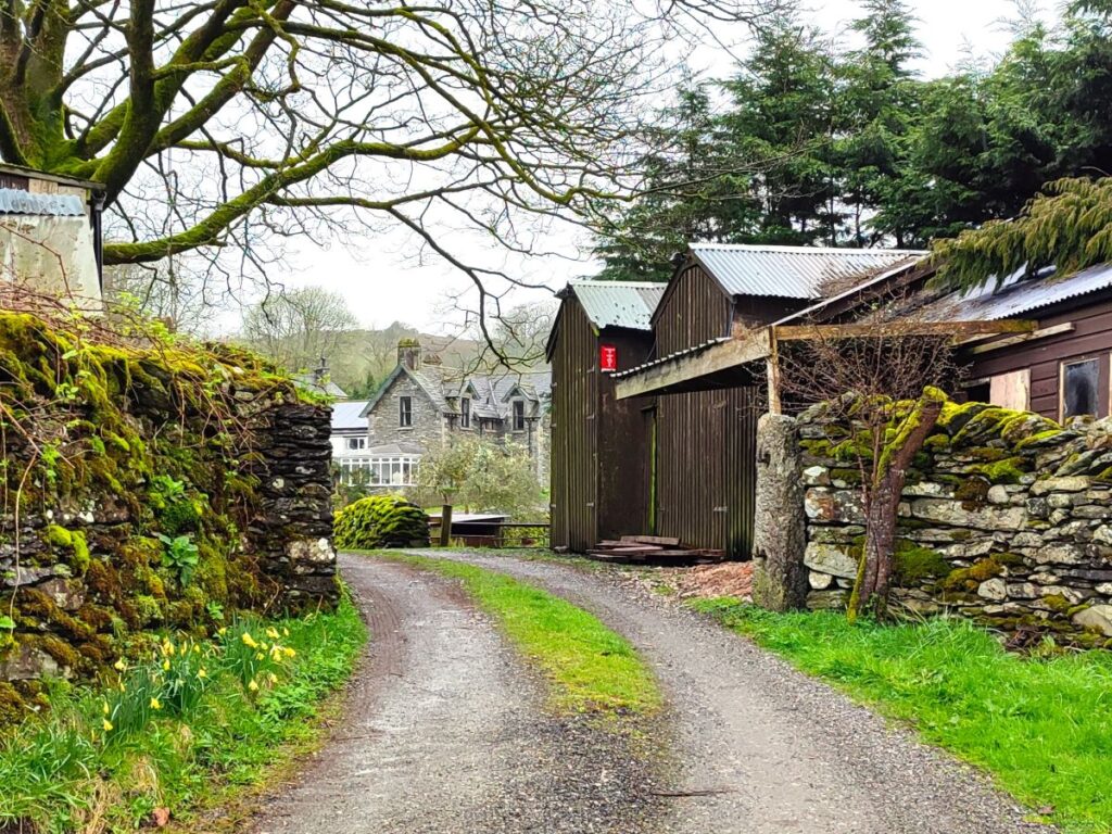
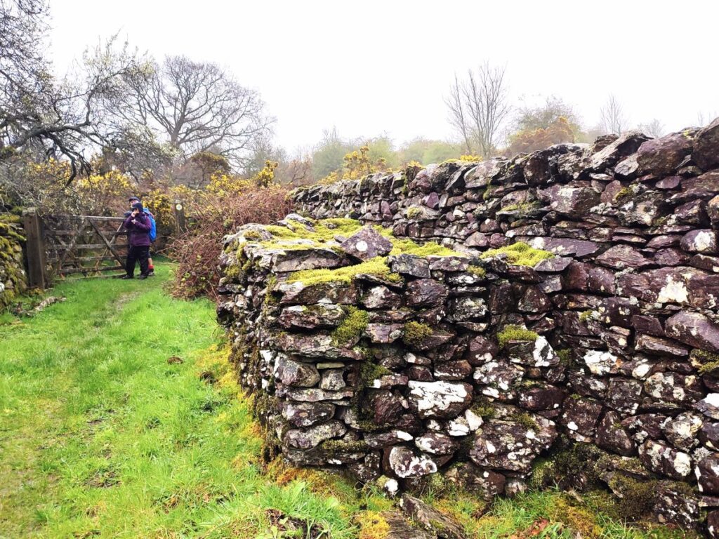
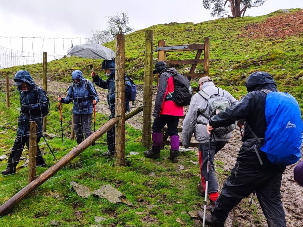
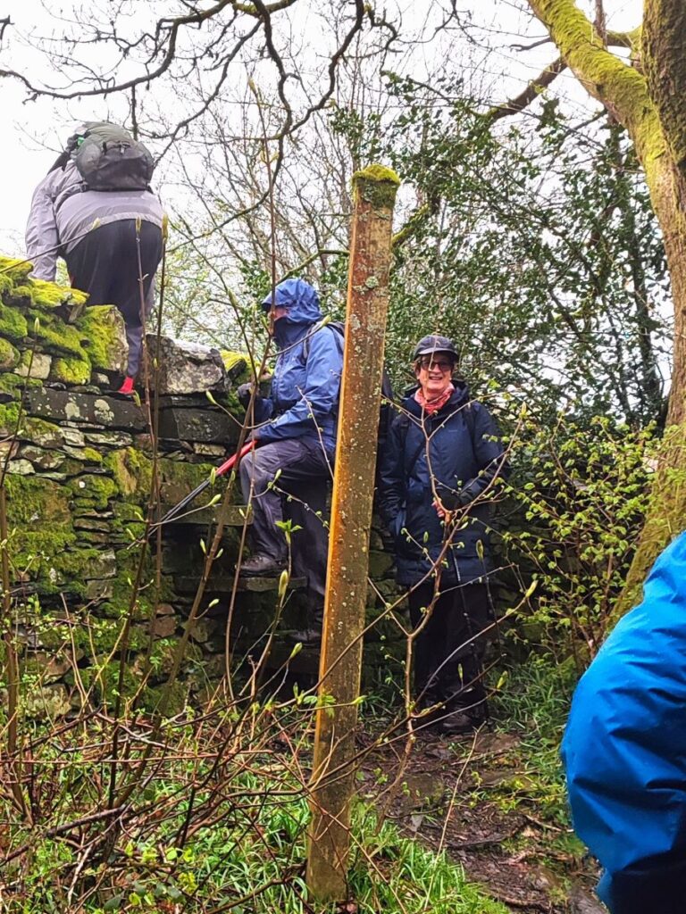
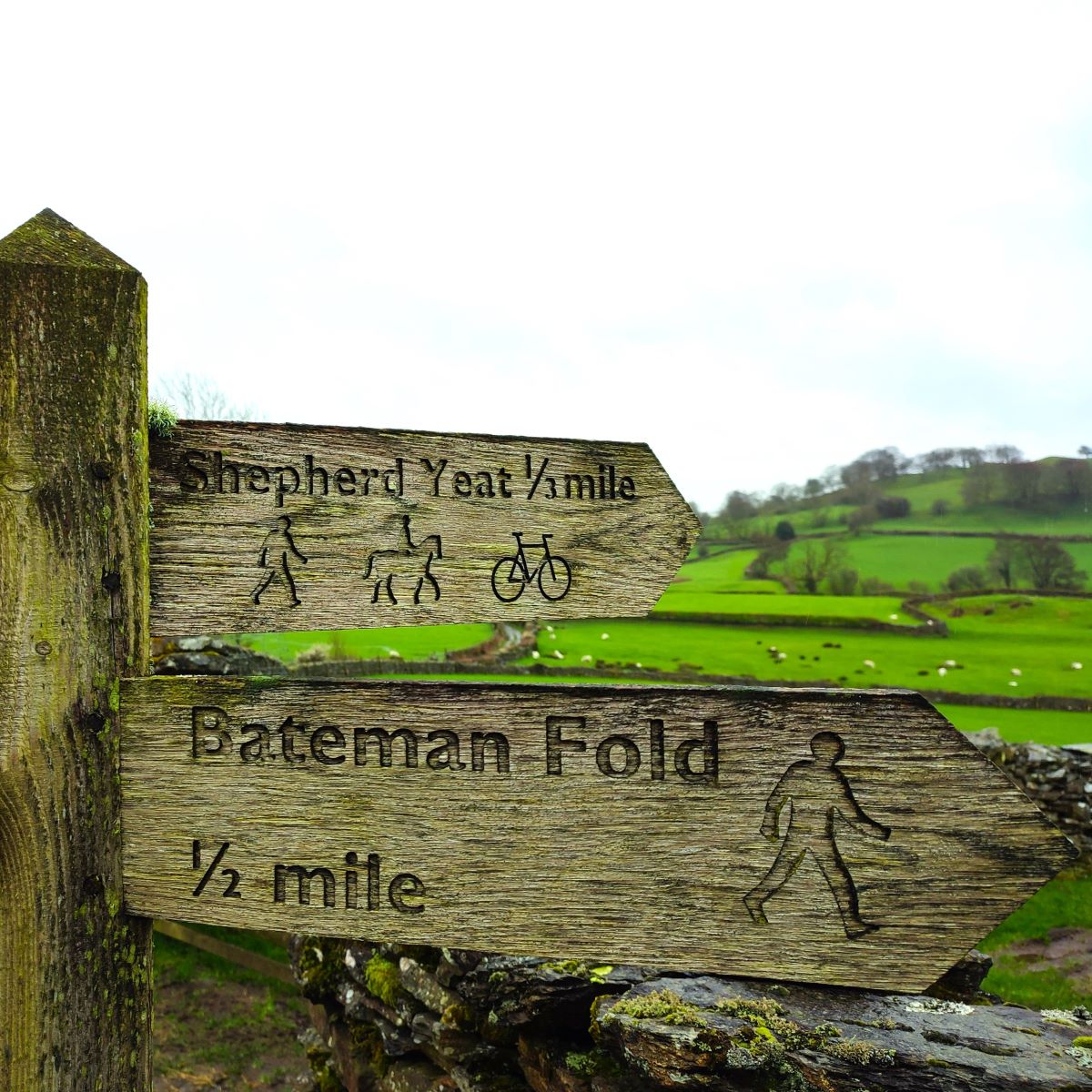
After about 30m, this arrives at a crossroads – where we go left along a flat track heading toward the oddly named Spigot House, an attractive whitewashed dwelling. Opposite this, on our right, is a stile accessing a choice of two paths – we take the one toward Bateman Fold and cross the field keeping the wall to our right until we arrive at a stile (and gate) at the bottom of the meadow.
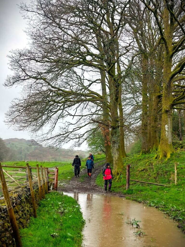
Beyond the stile is a narrow pasture with a wall to our right and a beck to our left. You will note from the gallery on the website that we undertook the walk after a period of very intense rain so also had to contend with quite significant flooding here – you may well be more fortunate.
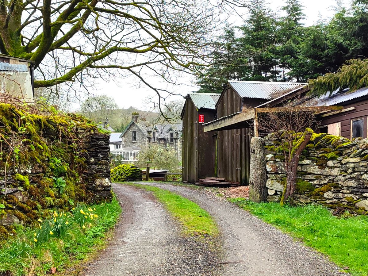
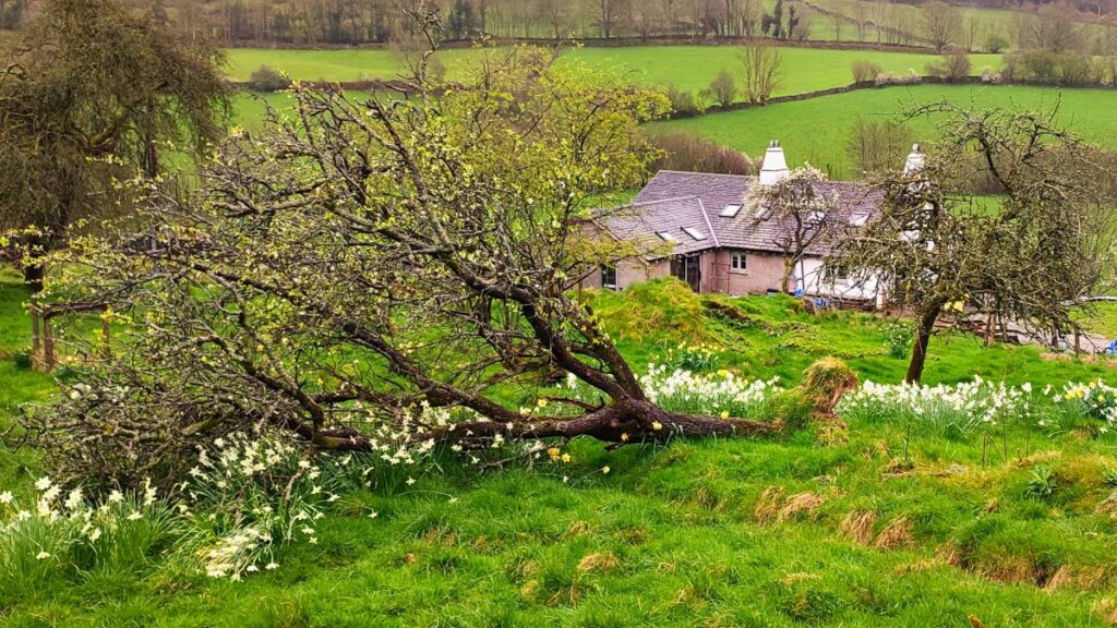
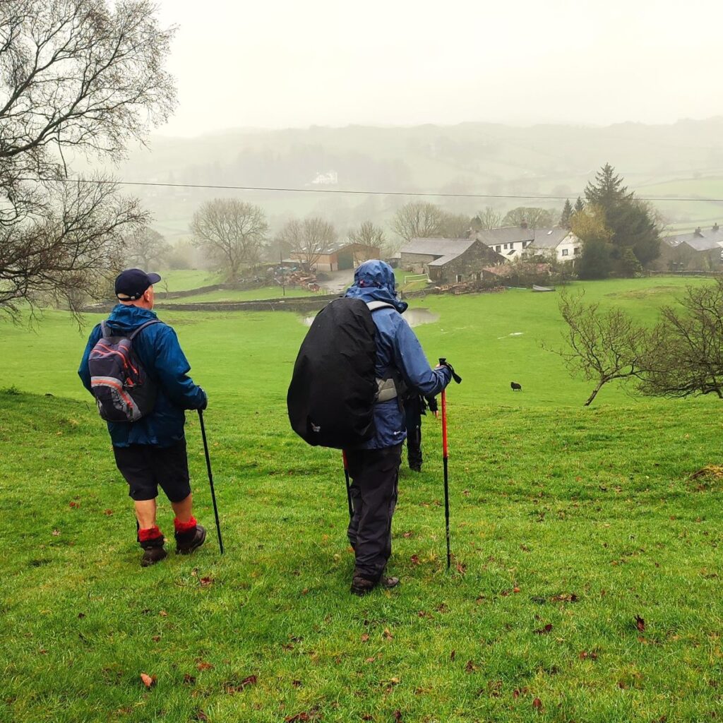
At the far end of this field, we cross a further stile, and then a footbridge over the beck. From there we head right for about 50m until we pick up a track where we head left following the clear route to Bateman Fold – an imposing Victorian country house that can be glimpsed to the right of the track.
We continue past this impressive residence and just 50m later arrive at a junction. The road to the left goes down to Gilpin Mill and Shepherd Yeat. But don’t be tempted to wander left in search of an idyllic watermill driven by the Gilpin – Gilpin Mill ceased to be used at the end of the 19th century, and is now an upmarket Bed and Breakfast.
We therefore head slightly right to climb the hill toward a sharp bend just 100m ahead where the road bears right. At this point we go left onto a track that leads to Thorneyfields.
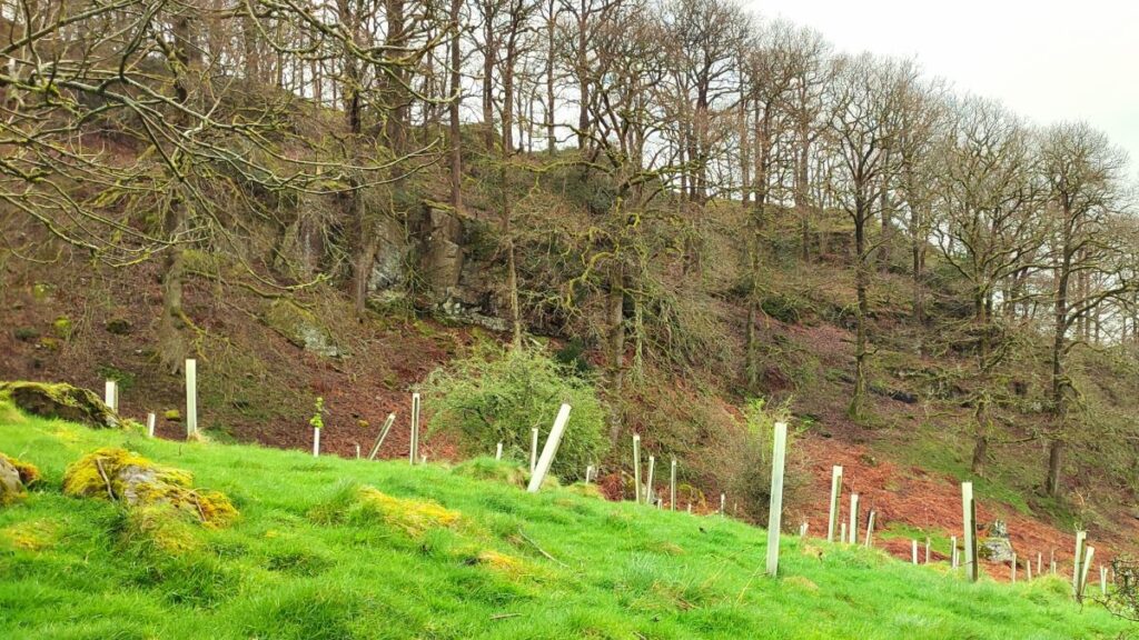
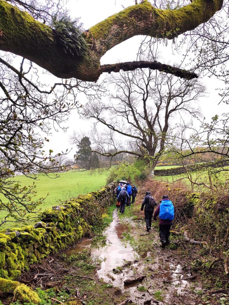
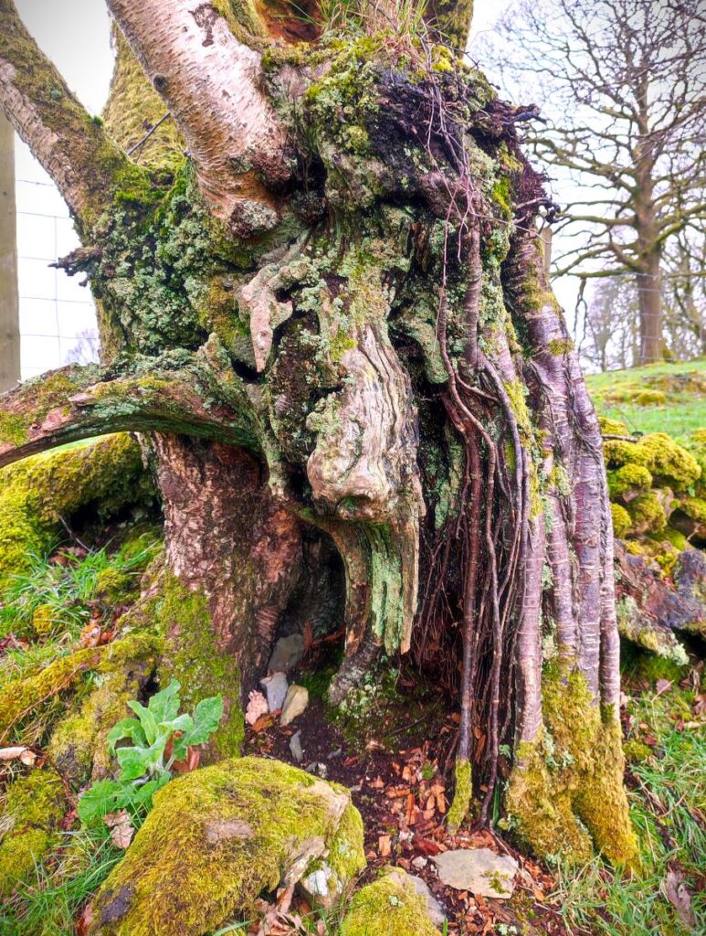
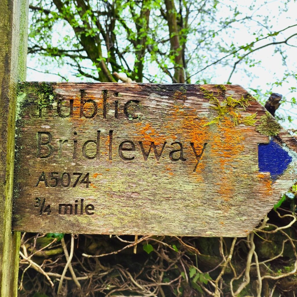
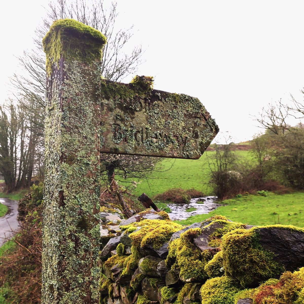
We continue heading south until we arrive at Thorneyfields, before walking to the right of the house to pick up a bridleway signposted as A5074. This gives us access to a track along the lower edge of an attractive wooded cliff known as Bow Mabble Breast – which regulars may remember from our Lord’s Lot walk.
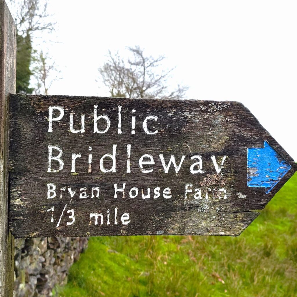
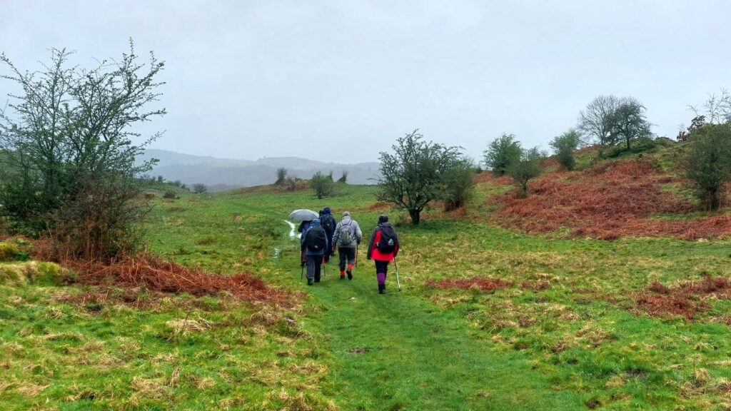
We now walk along the edge of the wall in the field below Bow Mabble Breast until we see a small tarn ahead. We continue past that tarn and then press on until we arrive at the A5074, where we cross carefully and continue almost opposite on a path signed as a bridleway to Bryan House Farm.

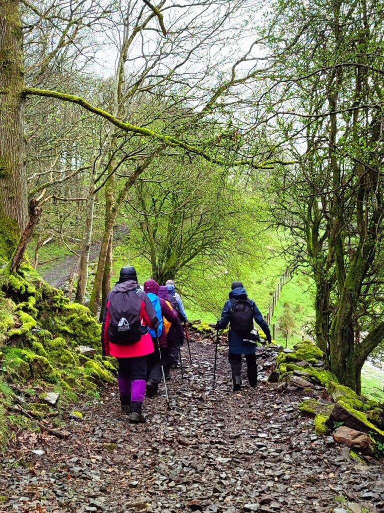
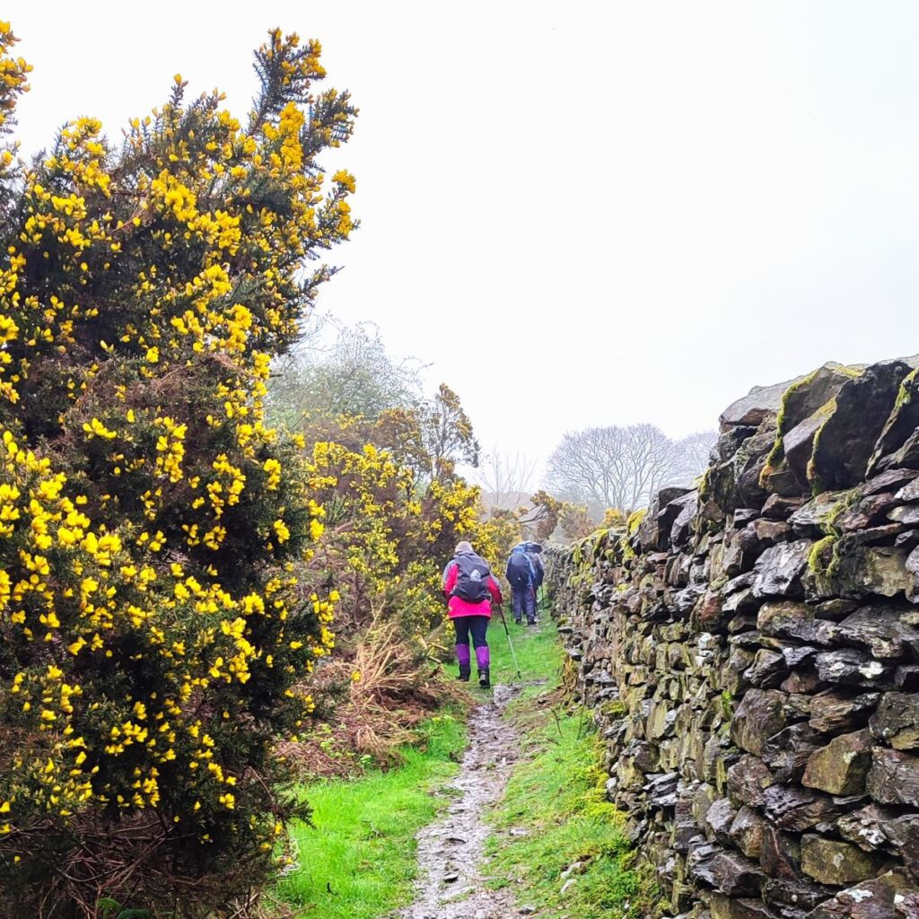
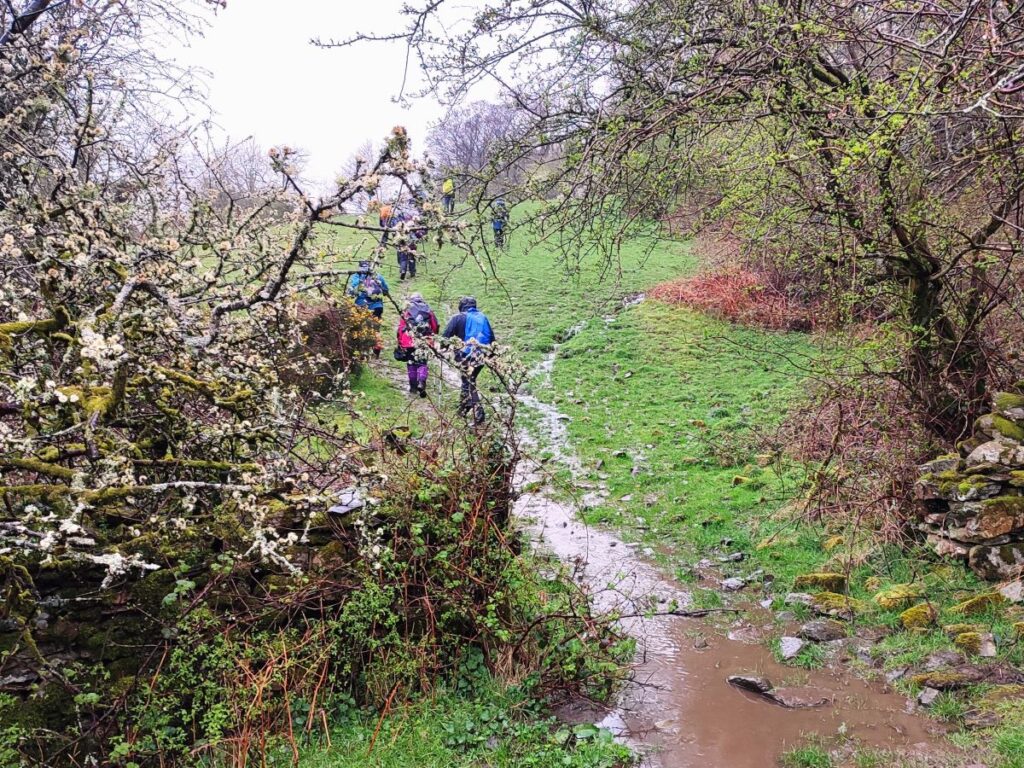
We are now on a track known as Crag Lane, and we follow this for the next 300m heading southwest, through woodland, passing a small attractive tarn on our right. Not far beyond that tarn, we enter a more open area and take a path on the left heading uphill, this is just before Crag Lane arrives at Bryan House Farm, so if you meet the farm and the minor road you need to backtrack by about 30m.
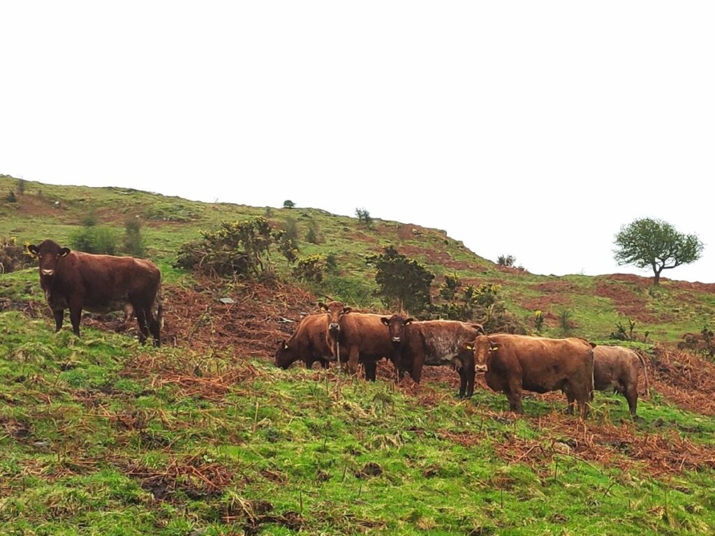
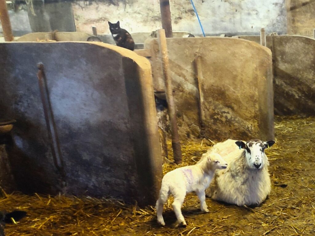
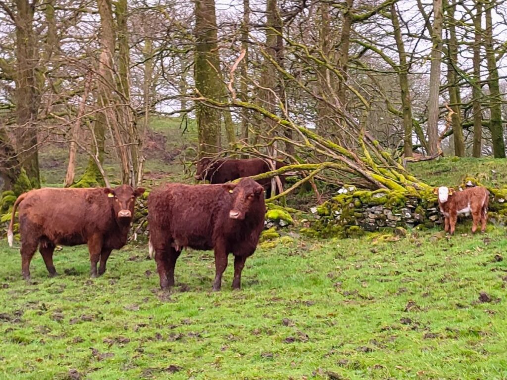
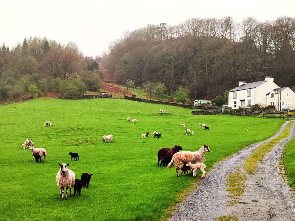
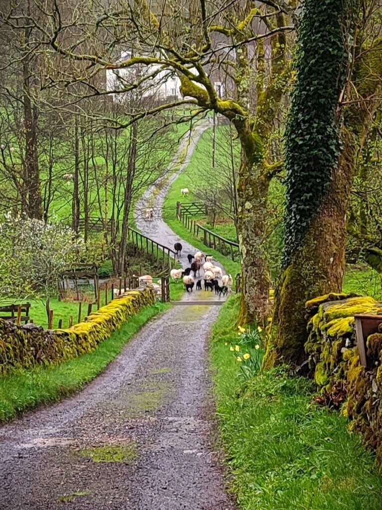
The track we are now on rises up through a mixed landscape – it’s mostly open where the track is but there is woodland to the right and along this section of the walk there are often cattle grazing – so make sure that dogs you have with you are under close control. We stay on this track for about 250m, looking for our next landmark which is a tall gate in the deer fence to our left – we go through the gate and down to a stand of trees where a rocky outcrop provides a good spot for lunch.
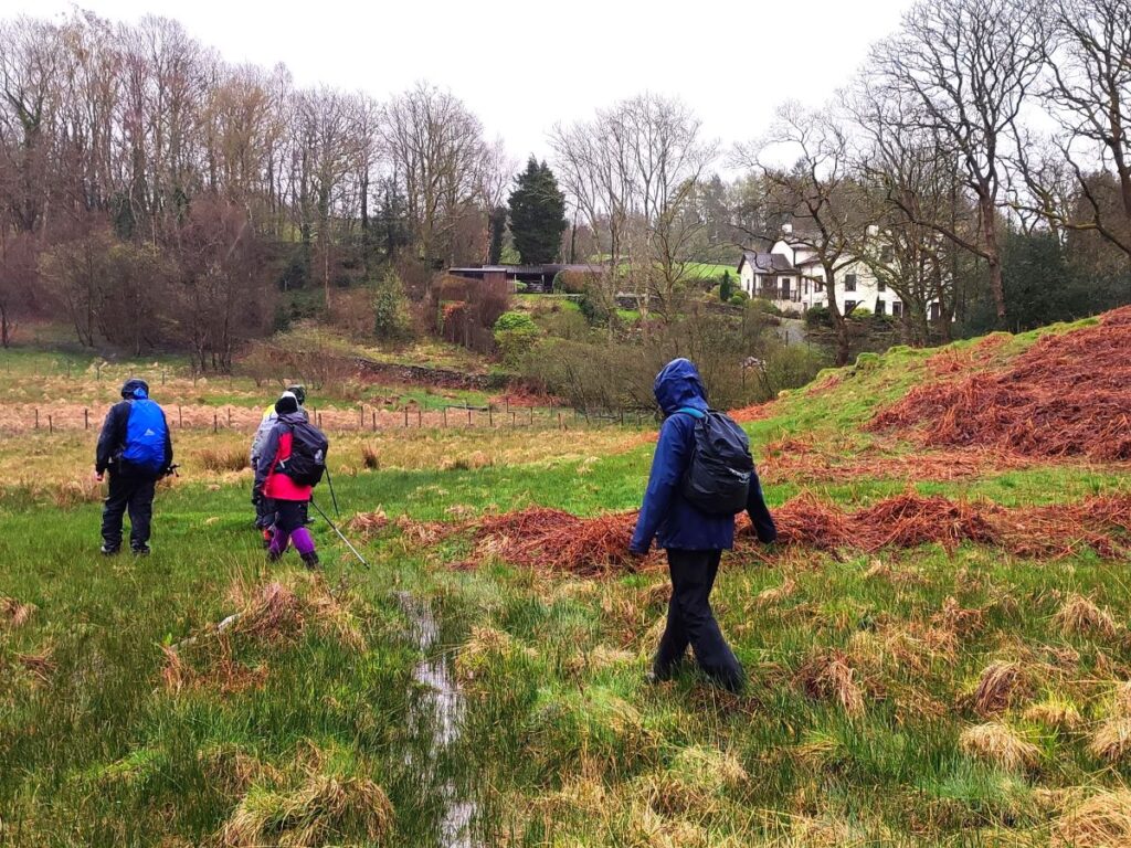
From here, we need to be a little careful with the navigation because there are two paths to choose from. The route we want is to the left heading downhill toward the main road, and a large, whitewashed house. The other path rises and comes back to the track we left a short while ago.
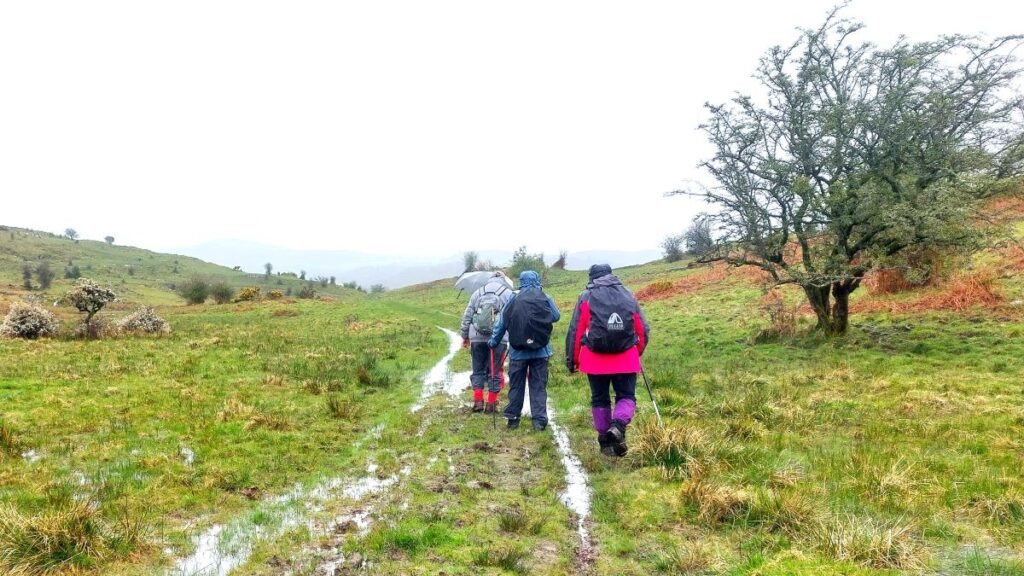
The land at the base of the valley is quite wet – to the extent that the direct route up to the road shown on the OS map may not be easily accessible – if you look at the route we took, you can see that a somewhat indirect route was needed to find secure footing.
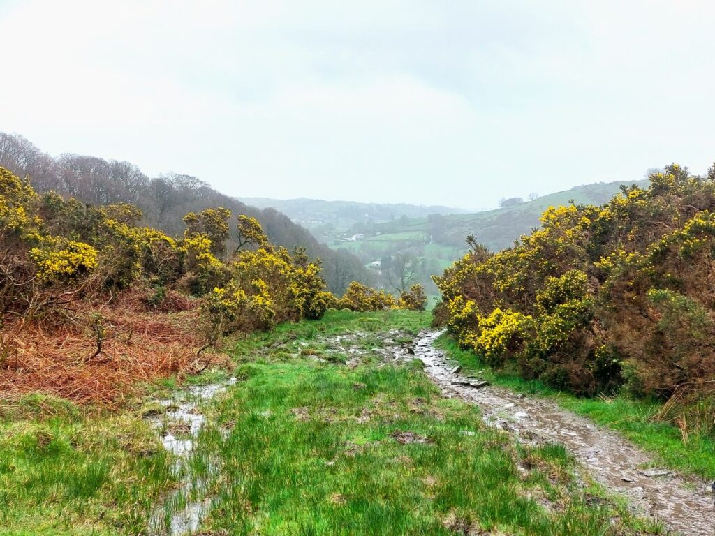
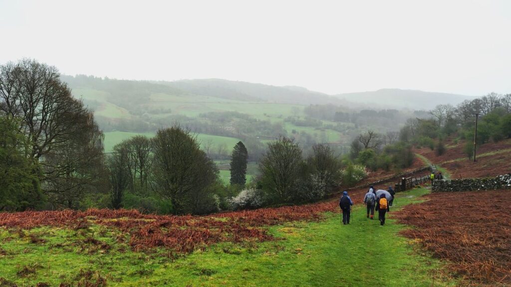
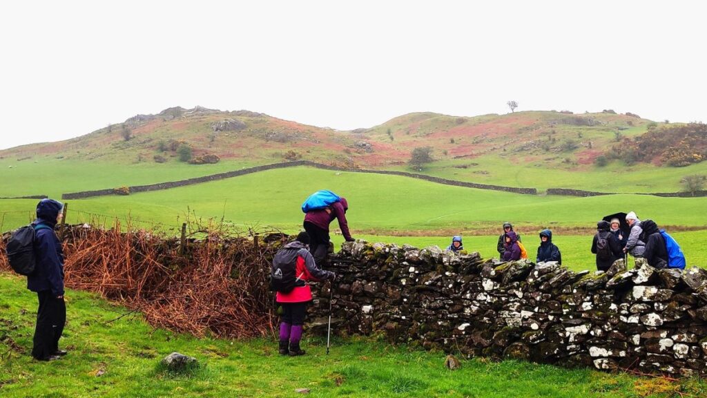
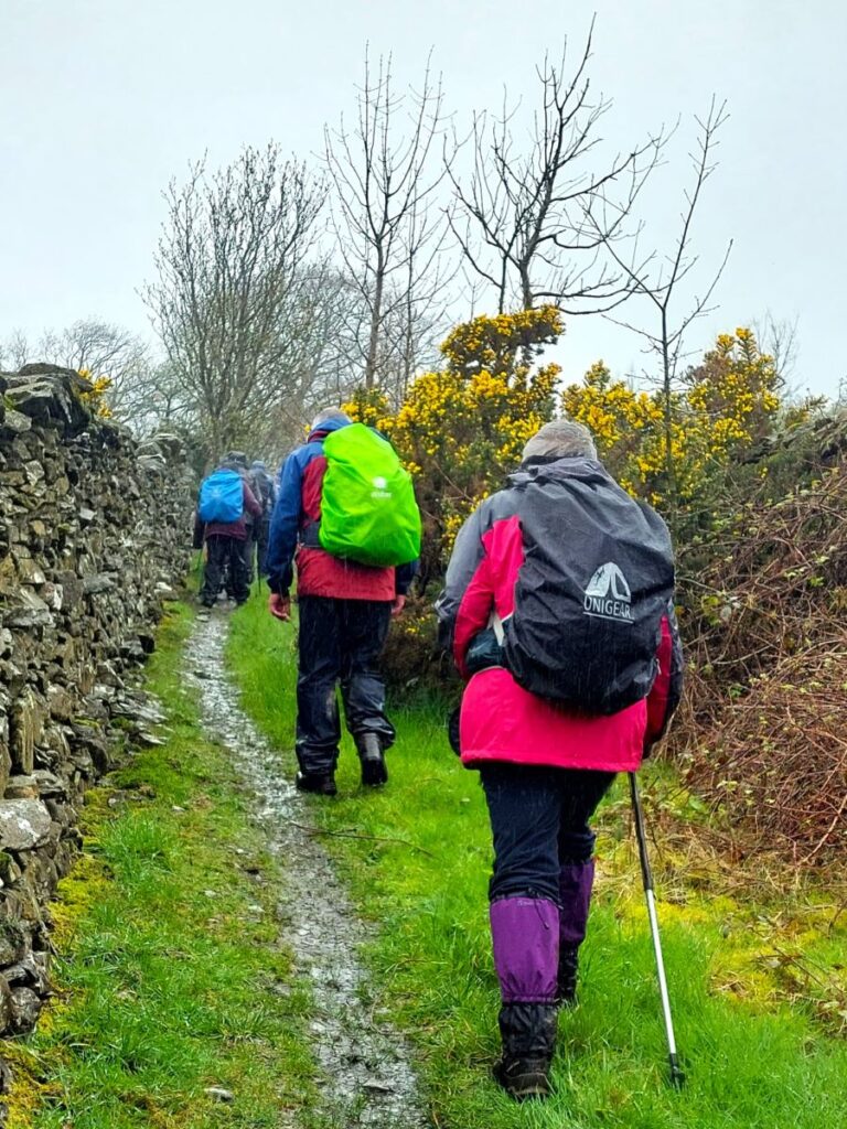
Once at the road, we walk left for about 60m before taking a minor road on the right at a very sharp angle. Remember that this is an A Road – you will meet traffic, so cross carefully. Once at the quiet lane traffic concerns are behind us, and we wander up the road for about 150m through pleasant woodland known as Brackenrigg until we notice a stile at the top of the embankment to our left.
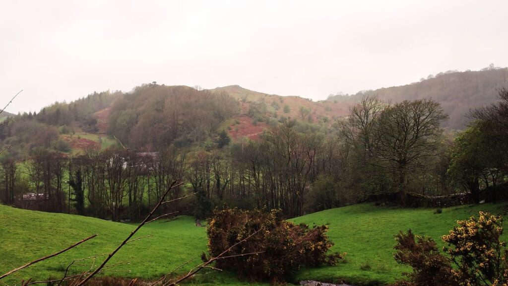
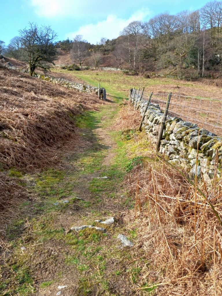
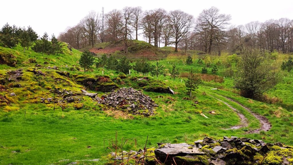
We take the stile and then bear right to find another stile just ahead, and then beyond that we head left toward the middle of the opposite wall where the track continues north through open fields bounded by woodland on both sides (Brackenrigg on the left and Foxhole Wood on the right). There are particularly good views to be had here as we rise to the top of the “saddle” between these two hills.
To our right here is a small hill, and in effect the path we are following contours clockwise around it, so if you start to feel like we are walking in a circle, it’s because we are.
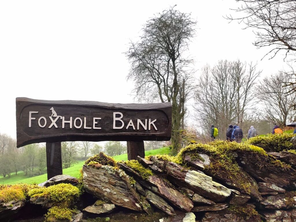
As the track starts to approach the farm buildings at Foxhole Bank, we need to look for the way marker just before the buildings – the right of way is downhill and just to the left of the stone barn, before coming back to the farm access road, where we cross the river Gilpin before arriving at a minor road. We head left here and walk on the road (it’s very quiet) for about 400m, until we find a signpost on the right for a public bridleway.
From here the path should be fairly obvious – it generally heads north to cross a ford and then up a track which becomes an enclosed green lane as it approaches a farm at High House.
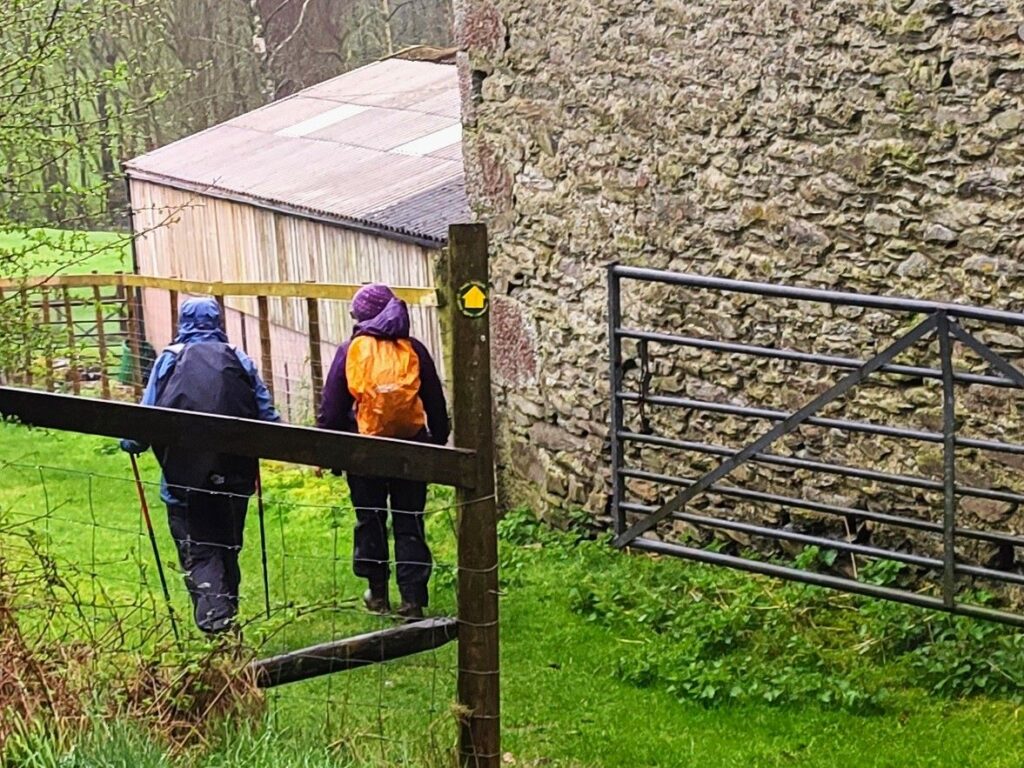
As we approach the farm, the path goes to the right of the large barn, and then through the farmyard to the left before heading right again – there is a track that continues straight on after the barn – don’t be tempted by this. Once we are at the farmhouse, we need to look for a gate to the left which takes us onto a path heading uphill with a drystone wall to our right. This is marked with a yellow roundel, but it’s easily missed so be careful.
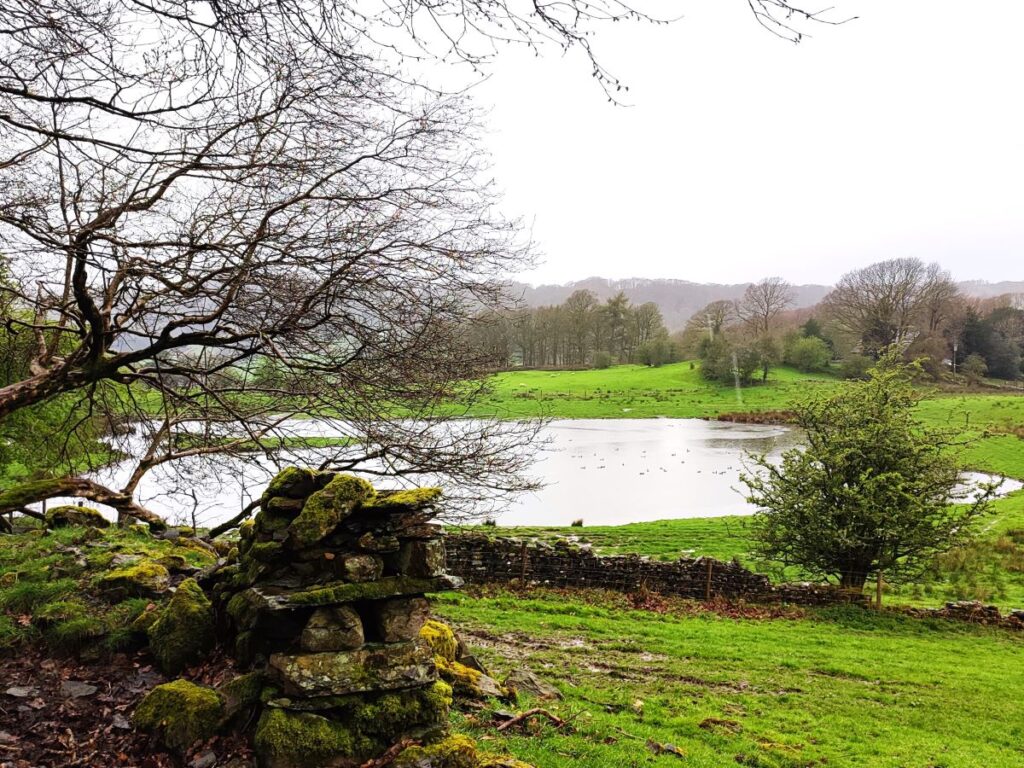
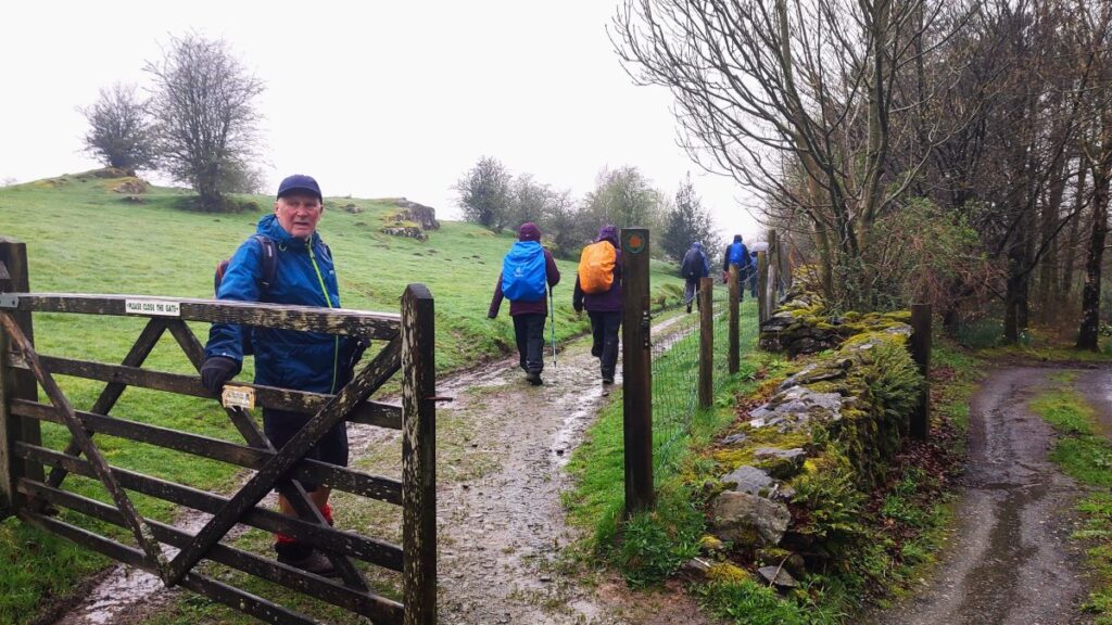
We are now heading North, and need to navigate three stiles before we arrive at a minor road where we see a farm at Brow Head. We turn right on that road and walk just 50m before we find a track on the left leading down to a fishing lake. Just before we arrive at the lake there is a gate on the left and we take this to follow the path round the lake – although there is a fence between our path and the lake at all times. At the far end of the lake (which is only 50m in diameter) the path forks. The right hand branch goes back up to the B5282 close to where we started and would be a viable route. However, we chose the clearer and easier route to the left which after just 150m arrives back at Spigot House – from here we simply reverse the steps from the start of the walk to get back to our cars.
Please note that we describe this walk as easy based on the modest distance and gentle changes in elevation. How easy a walk feels though may well be a different matter, and if you are planning to repeat this walk, you may find that the poor weather we experienced tips it into feeling slightly more challenging.