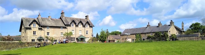
Semerwater from Bainbridge
9.8 miles | 15.8 km | 492 m Ascent | 12.3 Naismith miles | Sandra Craggs
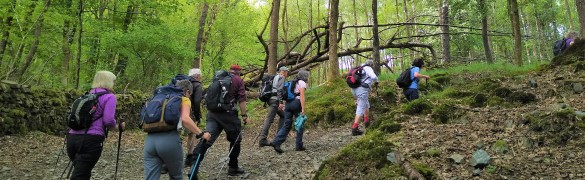
Our walk starts from Bainbridge and initially follows a Roman road known as the Cam High Road up Wensleydale until we overlook Burtersett. We then cross the ridge into Raydale, and head down to Marsett where we cross the river, walk through a nature reserve and over toward the atmospheric old church at Stalling Busk.
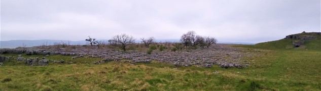
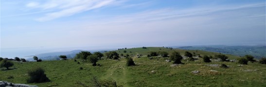
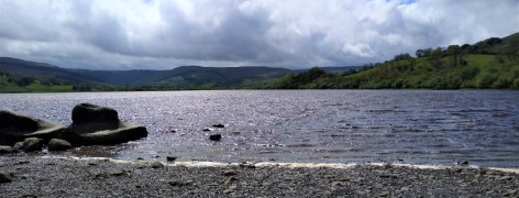
From there we track round Semerwater – again in a nature reserve – to visit the lake shore at Turner’s seat. The final part of the walk sees us follow the river Bain back to Bainbridge, with good views over the site of the Roman fort of Virosidum.
Although quite long, and steep in places, this walk offers great views, and an opportunity to explore some of the quieter parts of the Yorkshire Dales.
Semerwater from Bainbridge Read More »