Cotterdale from Appersett
7.8 miles | 12.5 km | 306 m Ascent | 9.3 Naismith miles | Mary Taylor
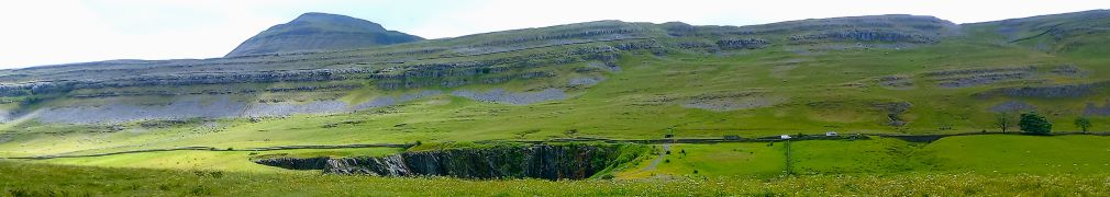
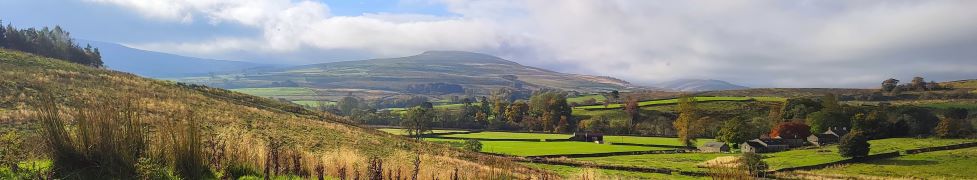
How many Dales are there in the Yorkshire Dales? It sounds like the sort of question that should have a definitive answer, but not so – the consensus is at least 20 but maybe up to 60 depending on what you define as a Dale, and what geographical limits you accept. What is clear, is that some are less well known as others, and one that is often overlooked is Cotterdale; Not because its unattractive, but probably because it’s a “dead end” dale – the road leads to the village of Cotterdale and then stops, so there is no through traffic.
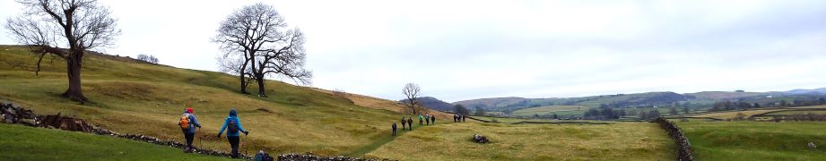
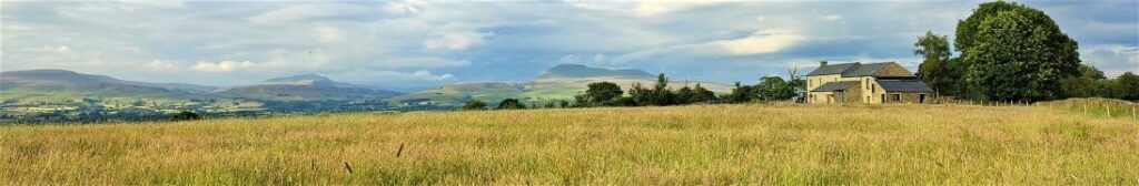
In our opinion, the lack of traffic is a good reason to visit – but it’s not the only one. This moderately challenging walk also offers a lot more: great views over Wensleydale almost as far as Garsdale Head, a lovely dales village, the potential for a short diversion to a perfect picnic spot, excellent views from Cotter End down to Hawes, before a tranquil riverside stroll back to the start with railway viaducts, a hidden waterfall, and the opportunity to add a visit to Cotter Force, all available on the return leg.
Cotterdale from Appersett Read More »