Jump to . . .Step by Step | OS Map | Downloads | Gallery | Fly through
Horton in Ribblesdale is a great place to start a walk, and the “three peaks” are the big draw with Pen-y-Ghent an obvious choice, as is the Sulber Nick route over to Ingleborough.
Both are good walks, but there is much else to see in this area, as we show with a route including a tarn, the stunning Far Moor Bridge, disappearing rivers, atmospheric lime kilns, a National Nature Reserve, extensive limestone pavement, and vast quarries, all of which is accessible via the Settle to Carlisle railway. What more could you want? A blue lagoon? – well there was one until recently, and we can offer pictorial evidence.
- Total distance 12.6 km (7.8 miles)
- Total ascent 297 m
- Moderate walk
Step-by-Step
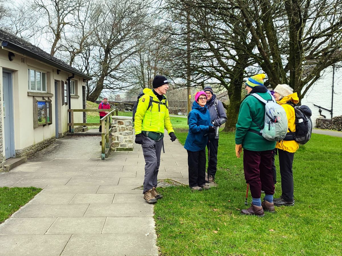
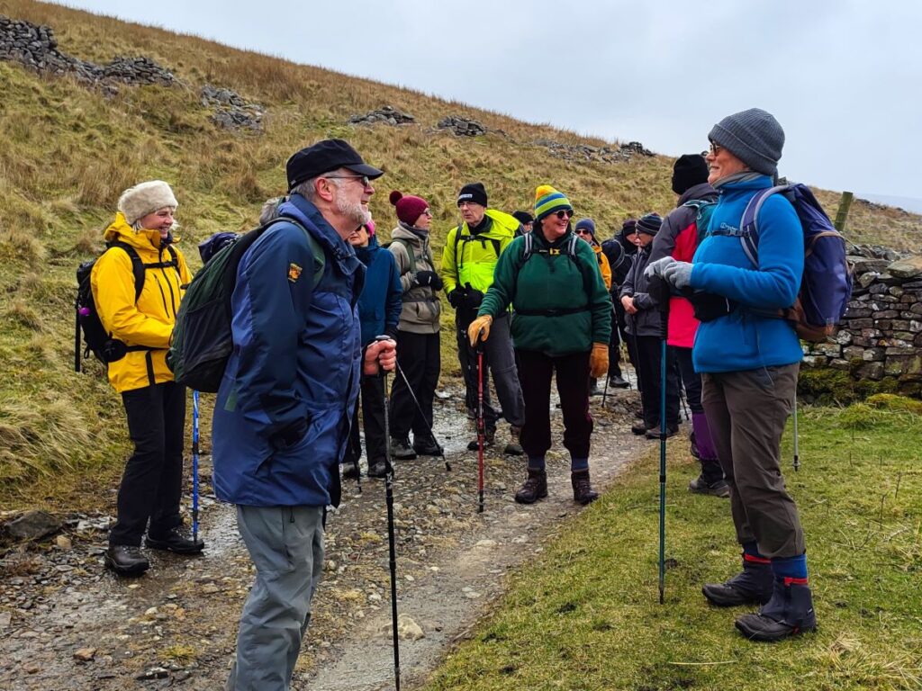
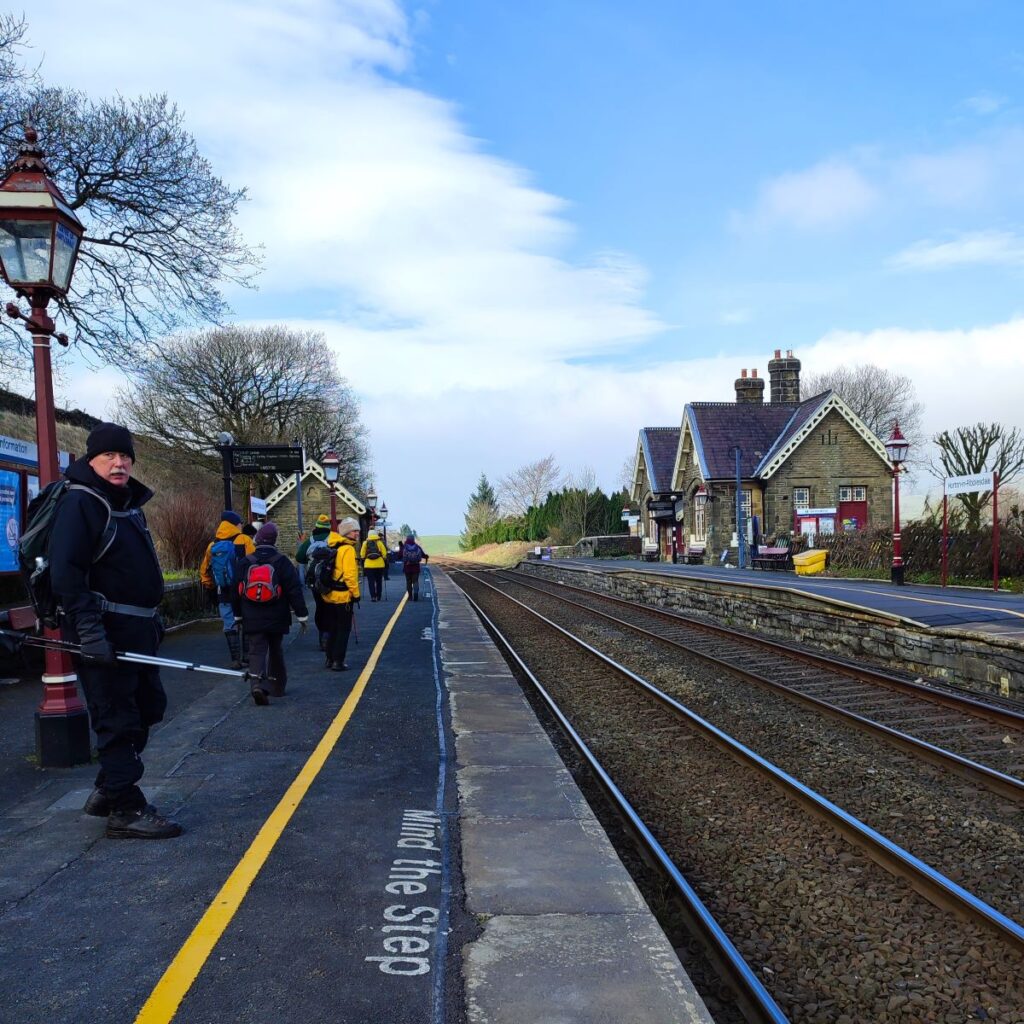
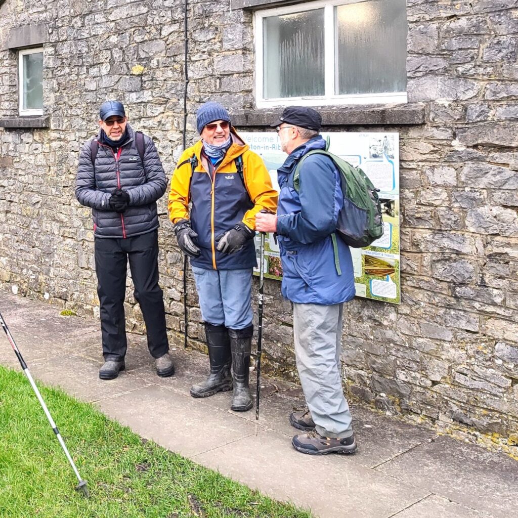
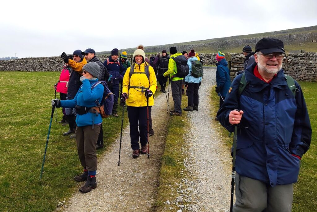
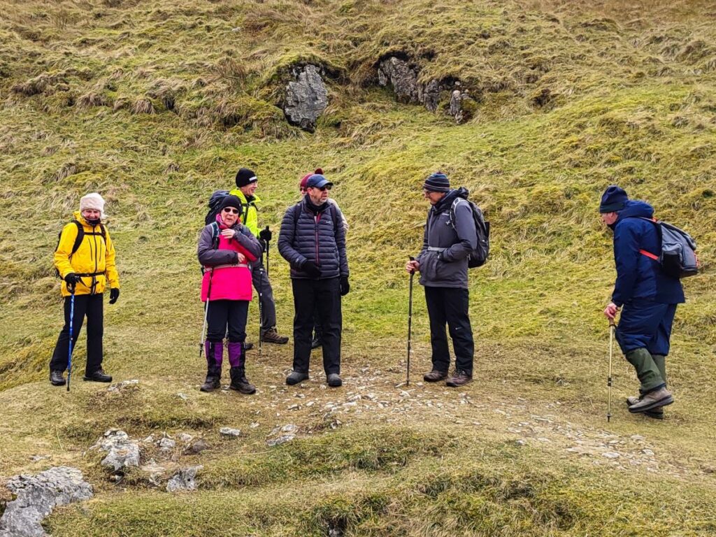
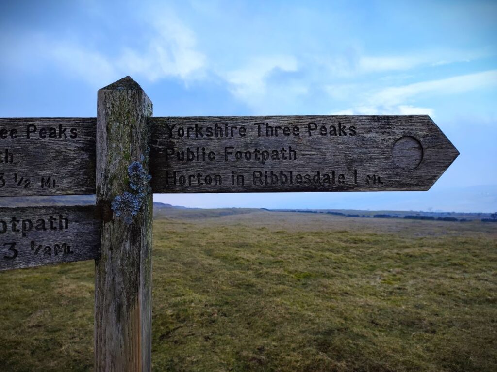
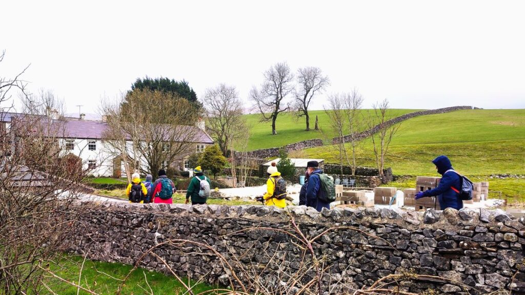
On the group’s website we programmed this walk to start from a layby on the B6479 between Selside and Horton. On the day, an unexpectedly high attendance meant that space was there too limited, so we changed the start point to Horton in Ribblesdale where there is better parking. We show the route starting from the National Park car park, but other parking options are available, and we point out the original intended start within the description so that you can start there if you prefer.
The National Park car park is on the B6479 adjacent to the bridge where the road (Pennine Way) crosses the Ribble. If you are using Satnav to get there then the postcode BD24 0HF, or street address Pennine Way, Horton in Ribblesdale will work. The What-3-Words tag is barstool.deny.origins or if you prefer paper maps, the OS grid reference is SD80767262. Toilets and EV charging are available at the National Park car park: Click here to go to the National Parks website.
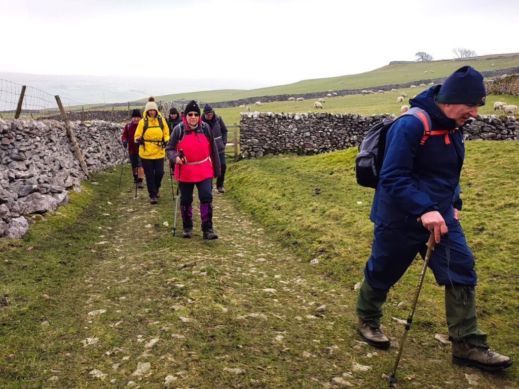
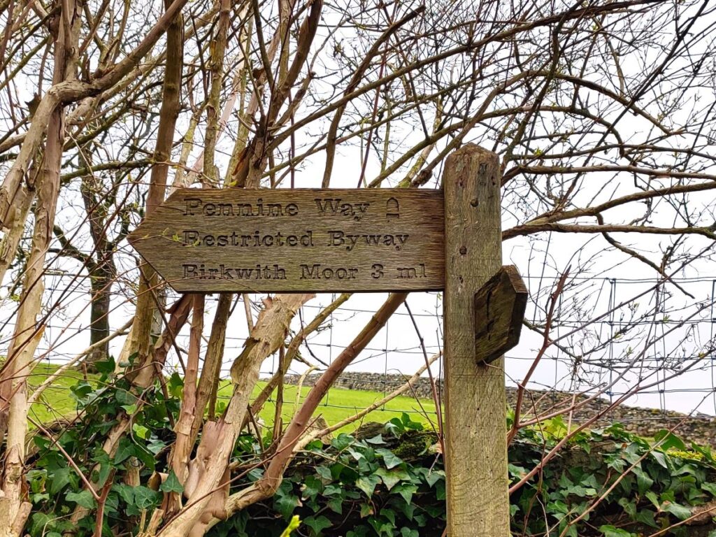
Horton in Ribblesdale is hugely popular with walkers and is part of three major long distance routes – the Ribble Way, the Pennine Journey and the Pennine Way. The Ribble Way follows the river from the Irish Sea to its source in the Dales and covers around 70 miles. The Pennine Journey is a 247 mile circular trek devised by the Wainwright Society, and the Pennine Way is a challenging 268 miles from Kirk Yetholm in Scotland to Edale in the Derbyshire Peak District. Parts of each of each of these routes feature in many other Bentham Footpath Group walks.
- Click here to access the yorkshiredales.org page on Horton
- Or here for a wikipedia article
- or here for a yorkshiredales.co.uk article

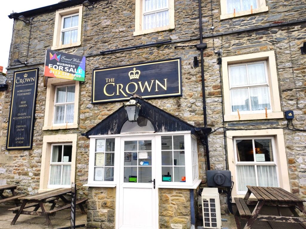
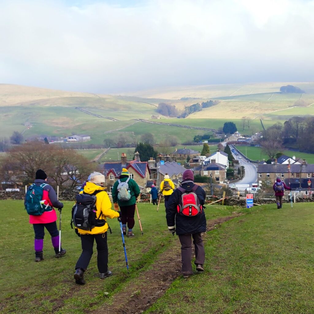
From the car park we head out onto the main road and turn left, as if heading toward Ribblehead. We immediately cross a bridge over a small beck, and then see the Crown Pub ahead of us – we need to take the small road in front of the pub on the right – we do not cross the Ribble here.
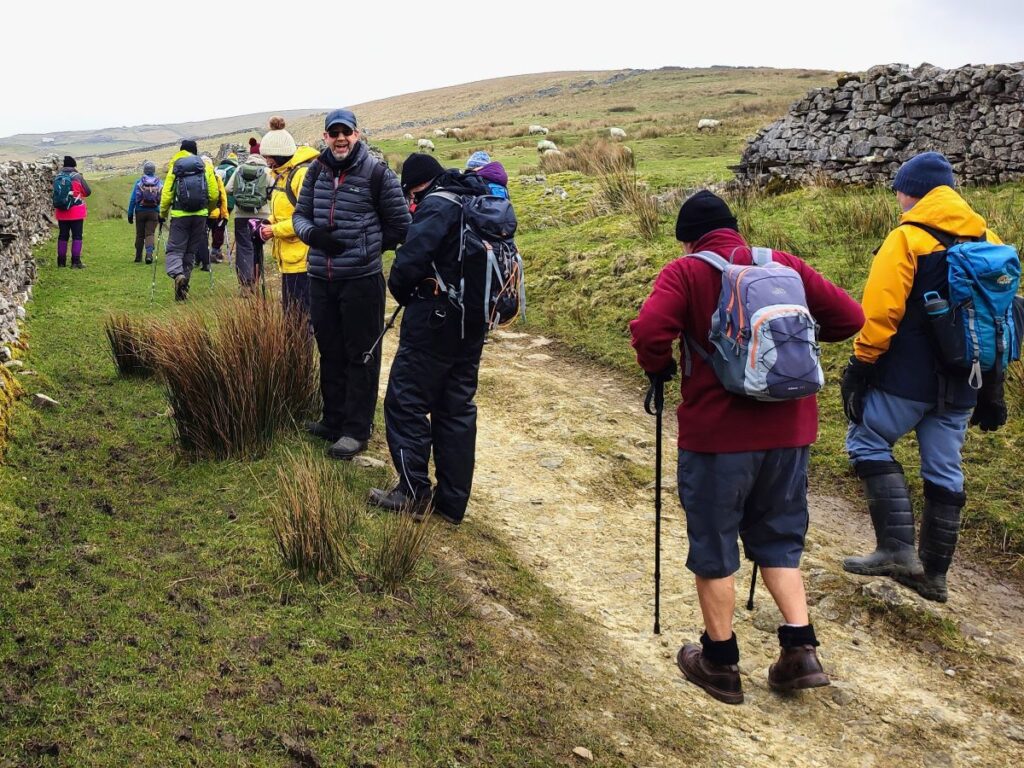
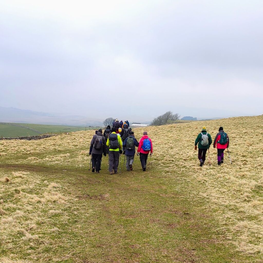
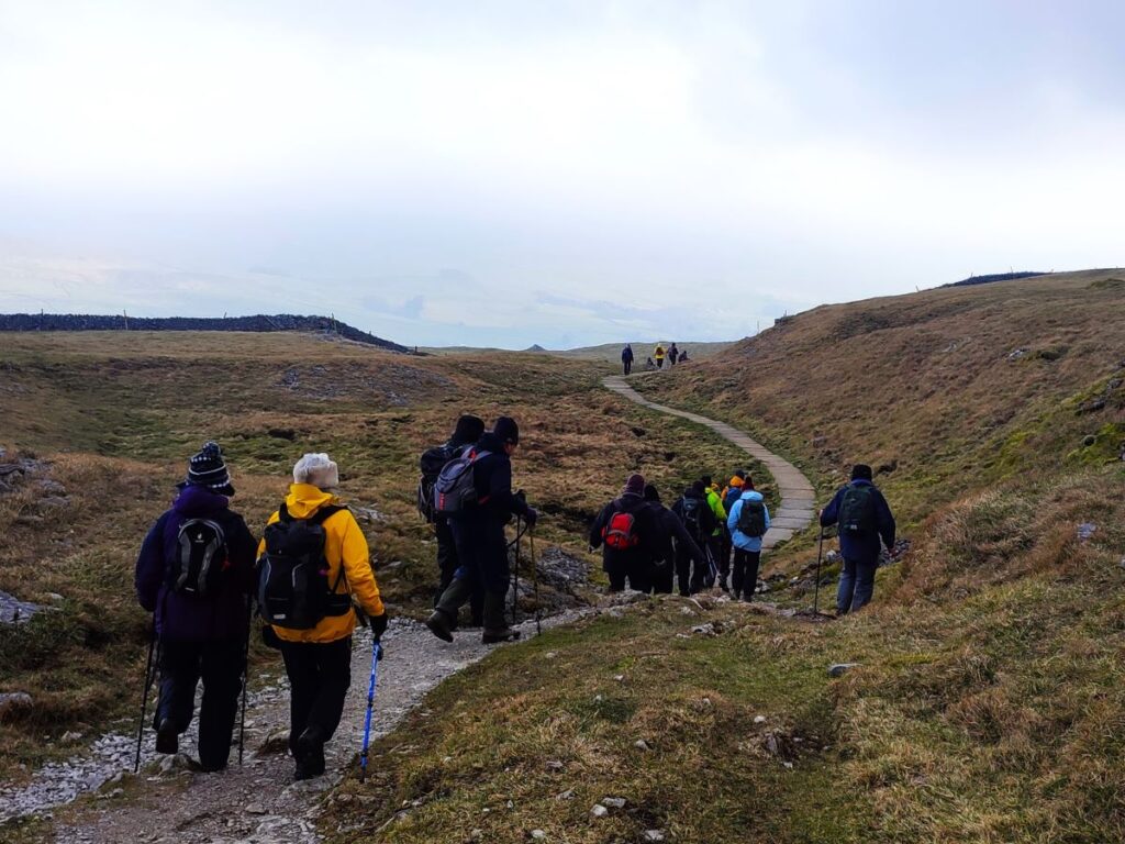
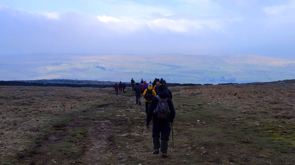
We pass the front of the pub and then turn left to walk up an enclosed lane – this is part of both the Ribble Way and the Pennine Way, so expect company.

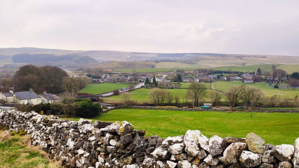
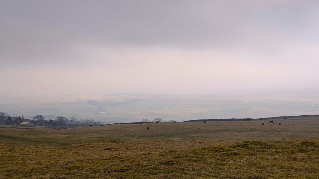
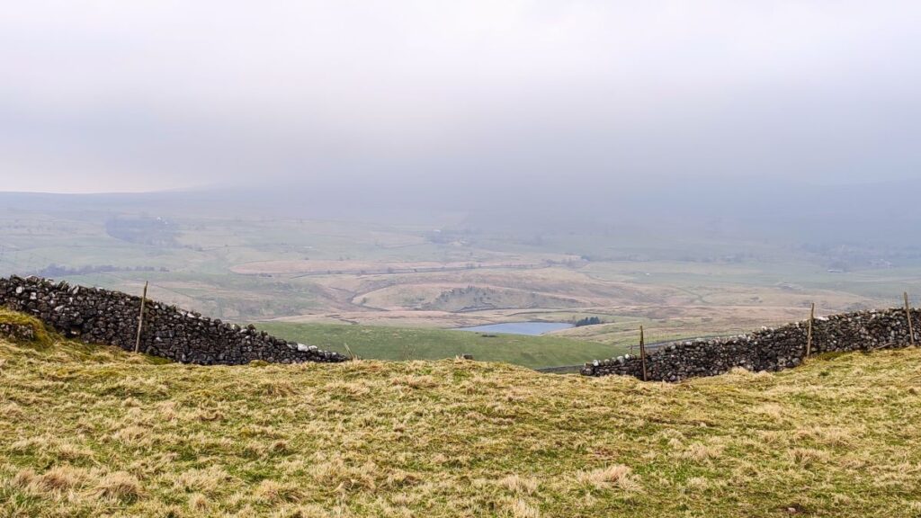
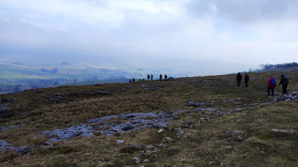
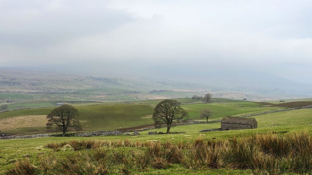
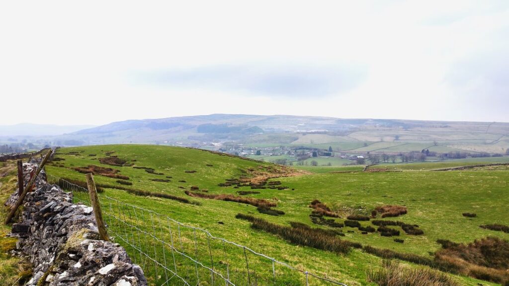
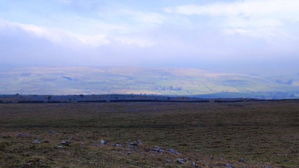
We climb quite steeply at first and soon have great views over the Ribblesdale on the left, and Horton and the stark beauty of the quarries behind us. As we climb higher still, we start to see Far Moor Tarn on the right – this is just downstream of the bridge that we cross later in the walk. Over to our right meanwhile is Pen-y-Ghent, which despite its size is not always visible, as intermediate ridges are just a little too high.
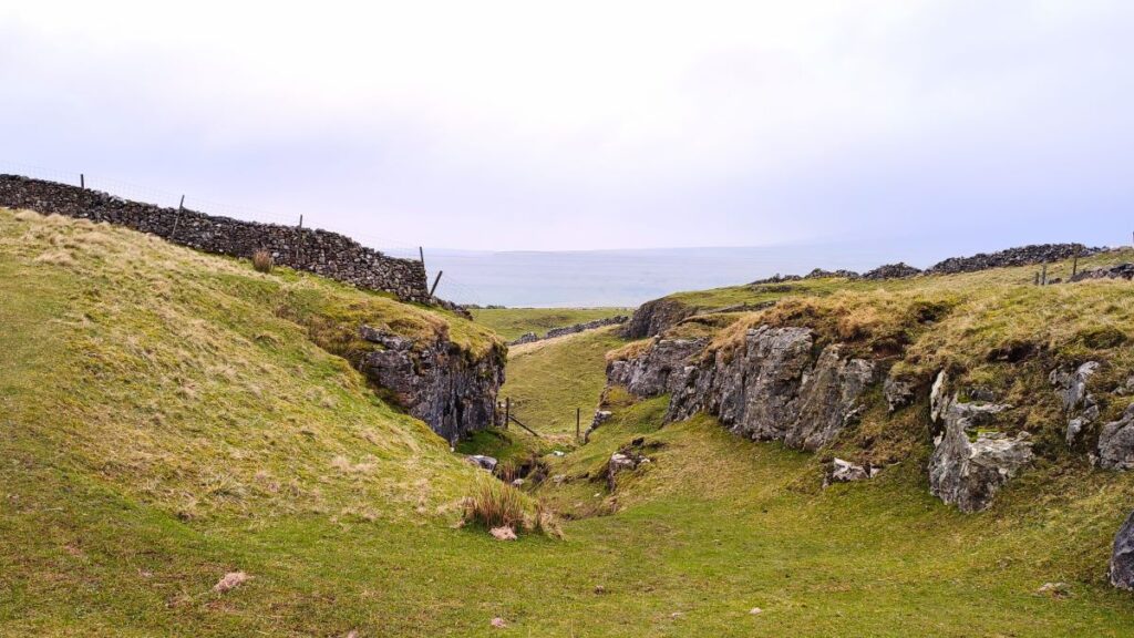
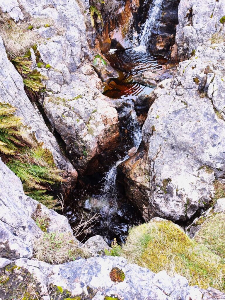
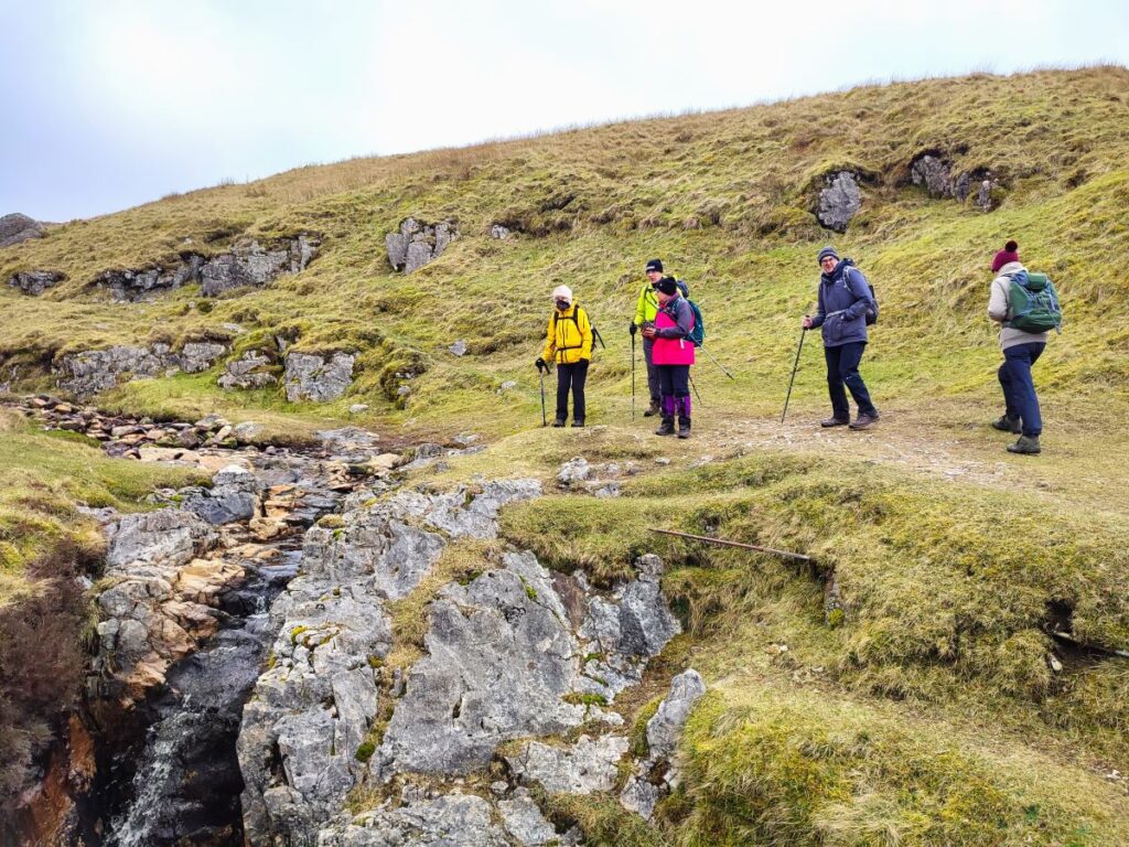
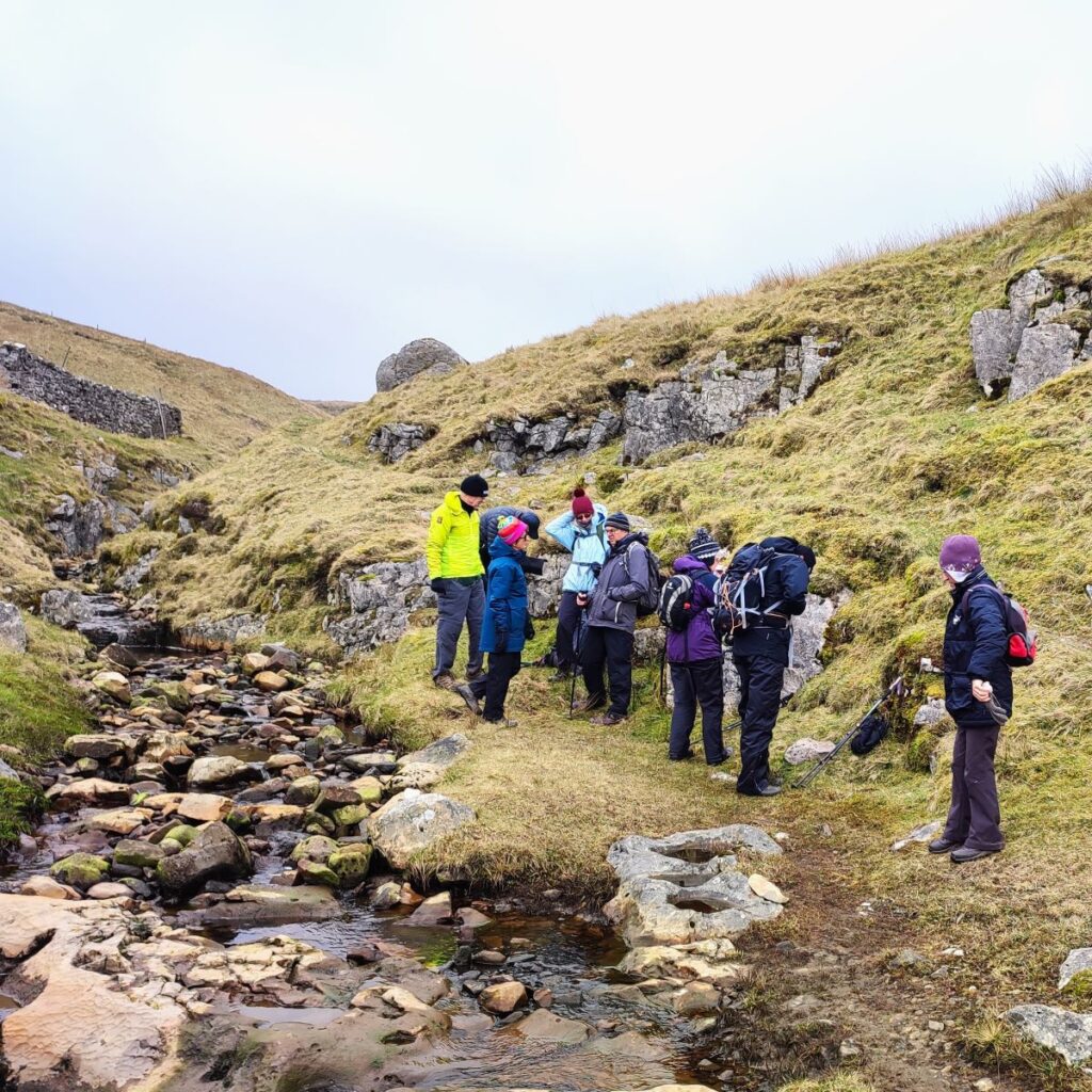
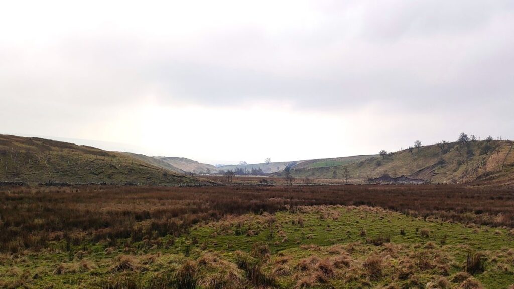
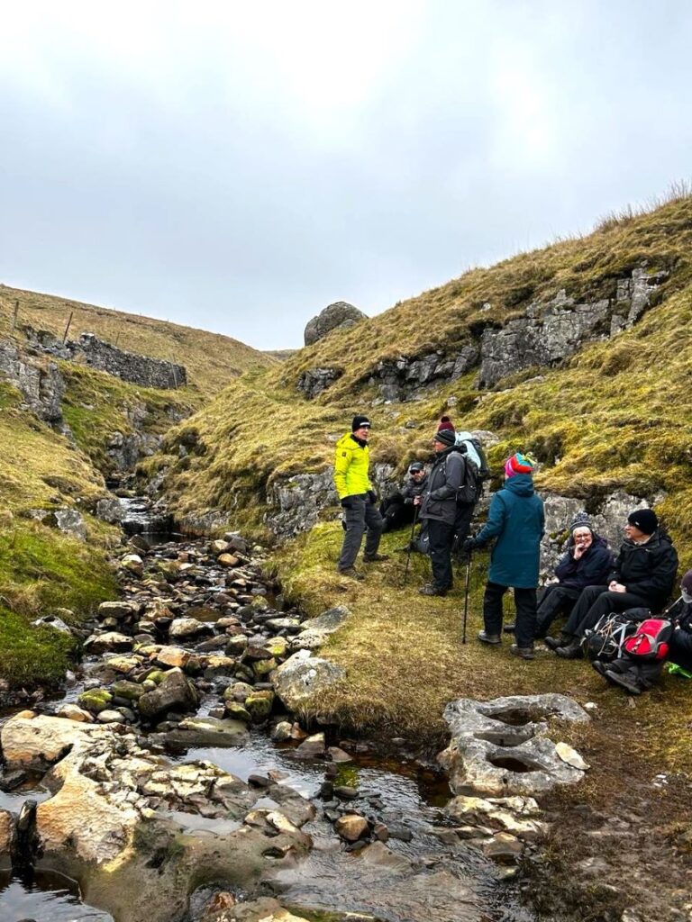
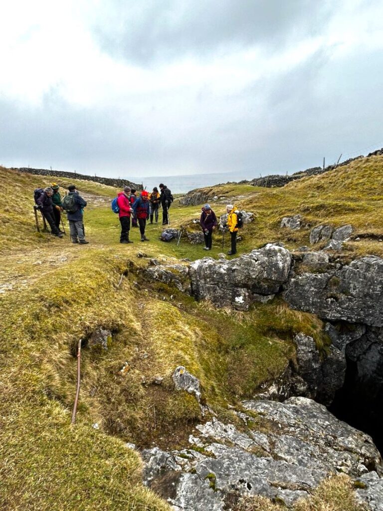
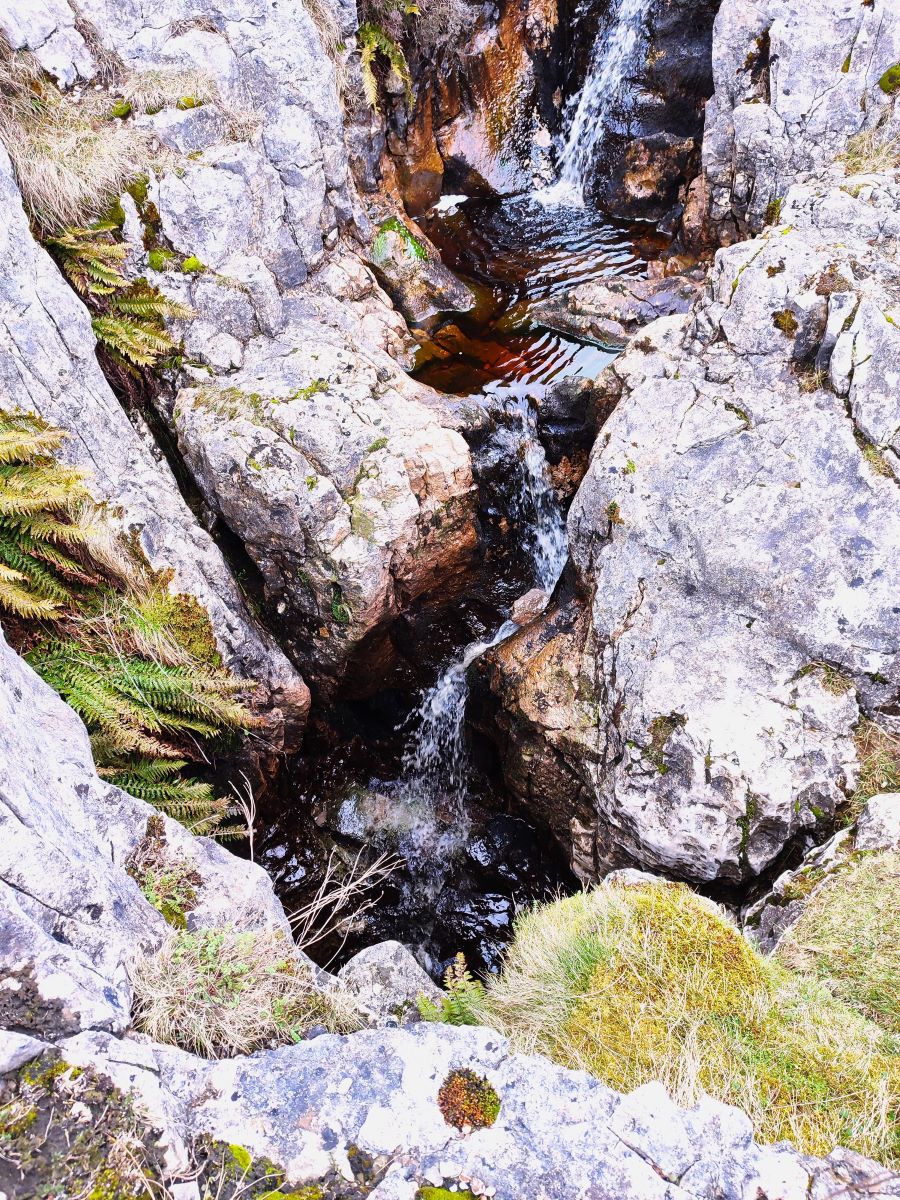
After climbing relentlessly for about 1000m, the path levels a little and we note Sell Gill Holes over to our right: Sell Gill is one of many becks that tumble down from the higher moorland, and flow can be anything from a trickle in a long hot summer to a torrent in a period of prolonged rain. That in itself is not unusual, but what is particularly eye-catching about this stream is that it disappears down into a deep fissure in the limestone – apparently gone forever. There is a dry gulley on the far side of the path, with no trace of any watercourse emerging on the other side.
Underneath the Pennine Way path at this point, and probably not suspected by most walkers, is a large cave system. The gulley to the left is used to access it via a “dry route”, or for the even more adventurous, there is a route down through the waterfall where the beck disappears – this is referred to as the “Goblin Route”. Details of both can be found here, but be aware that although access is open, caving and potholing are specialist skills and should not be undertaken without suitable knowledge, equipment and support. So, for the majority of us, an interesting YouTube video of the inside of the cave at should suffice.
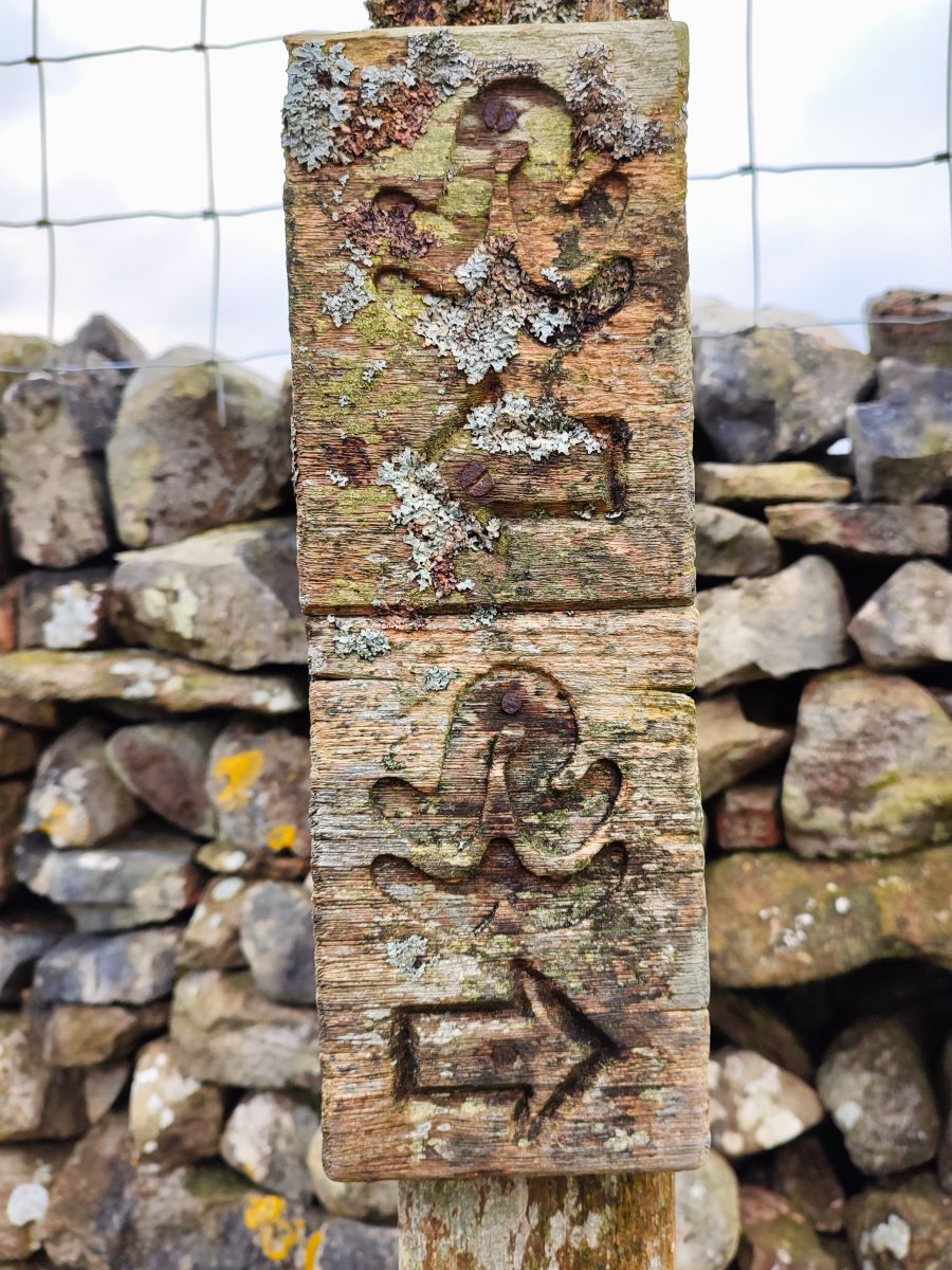
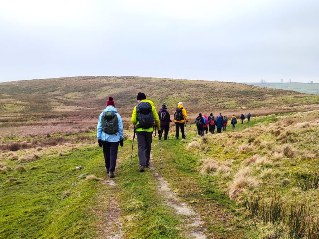
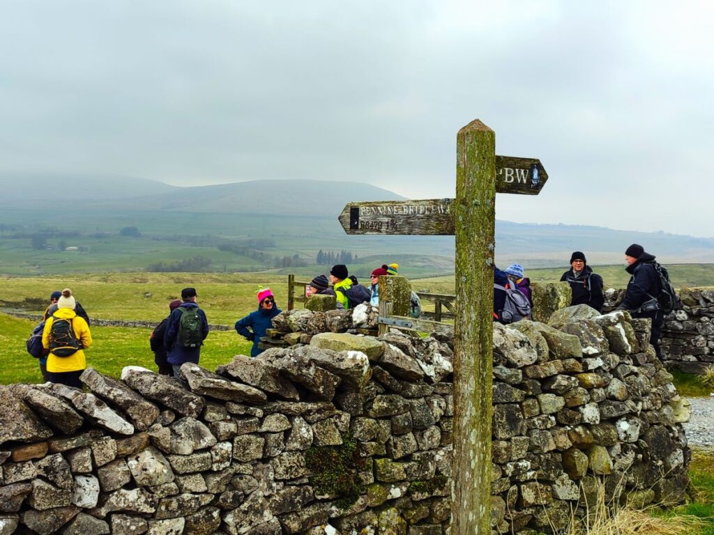
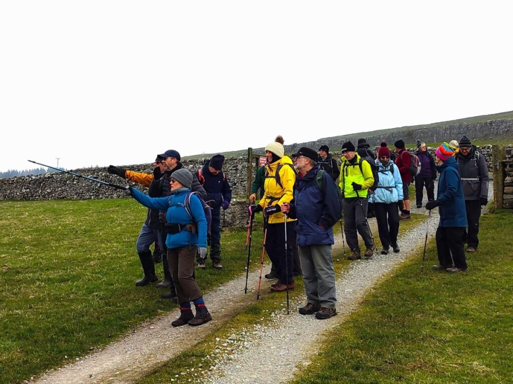
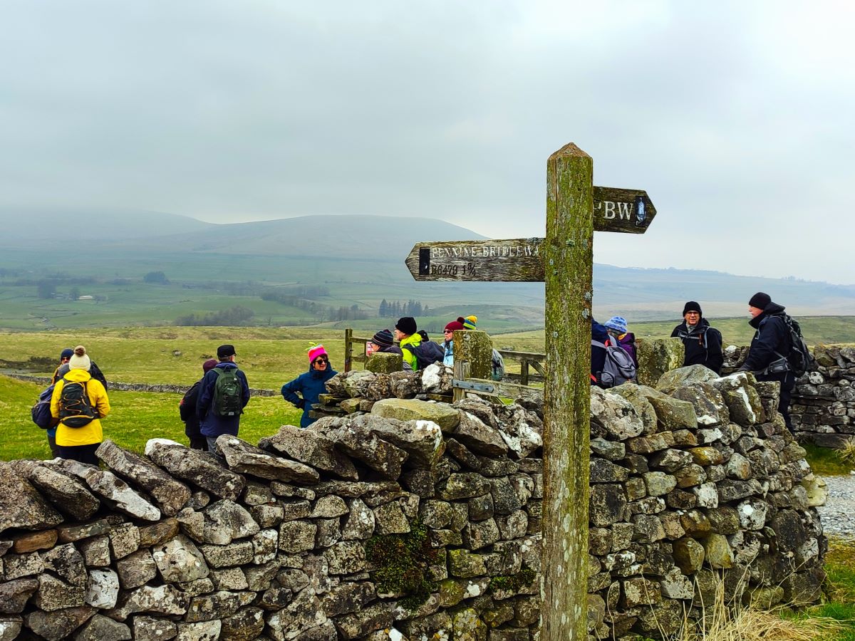
Just beyond Sell Gill Holes, the Pennine Way and Ribble Way paths diverge. The Pennine Way path keeps to the right and stays on the hard track we have been following so far, whilst the Ribble Way – and the route we need – forks slightly to the left. Look for the Ribble Way marker posts.
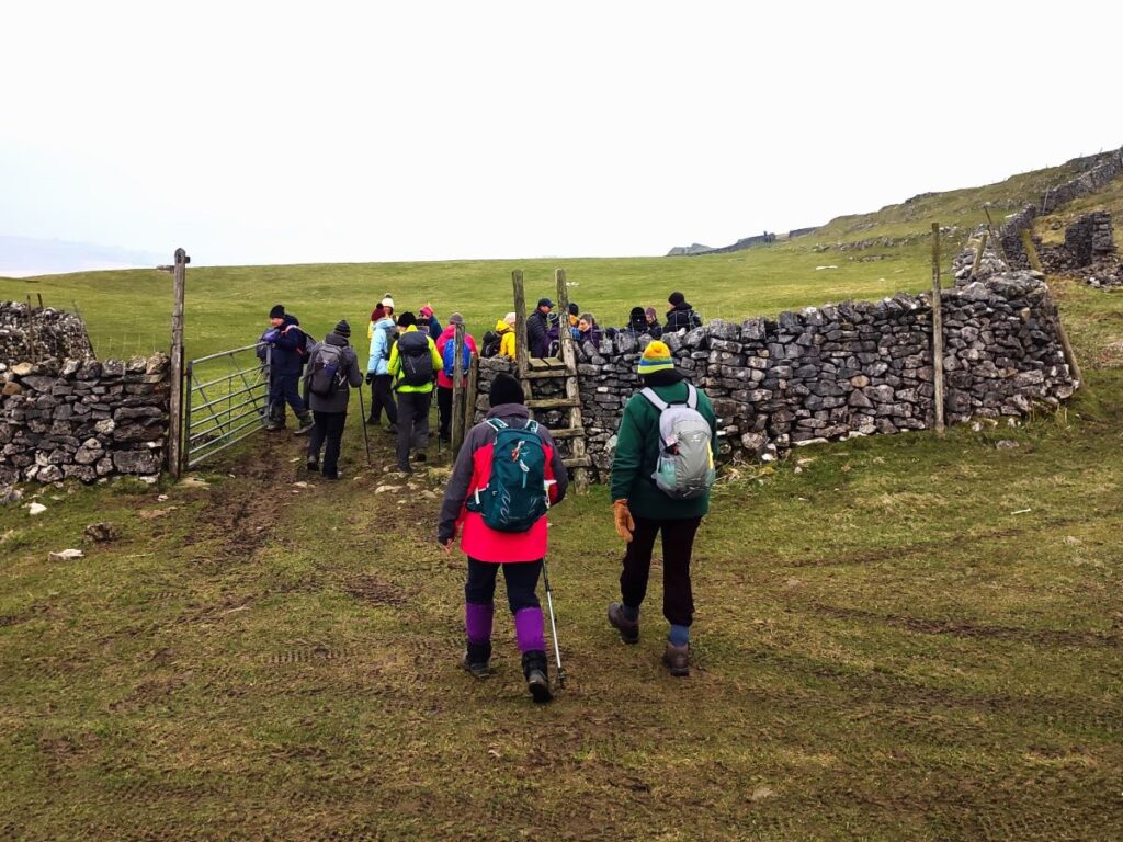
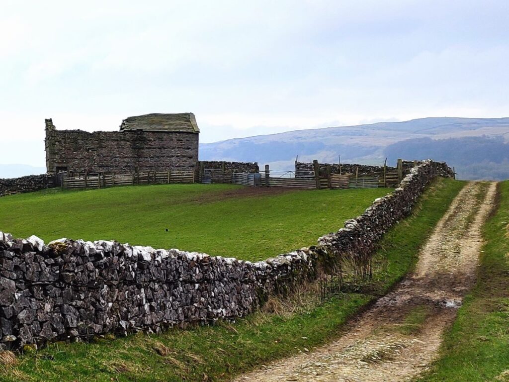
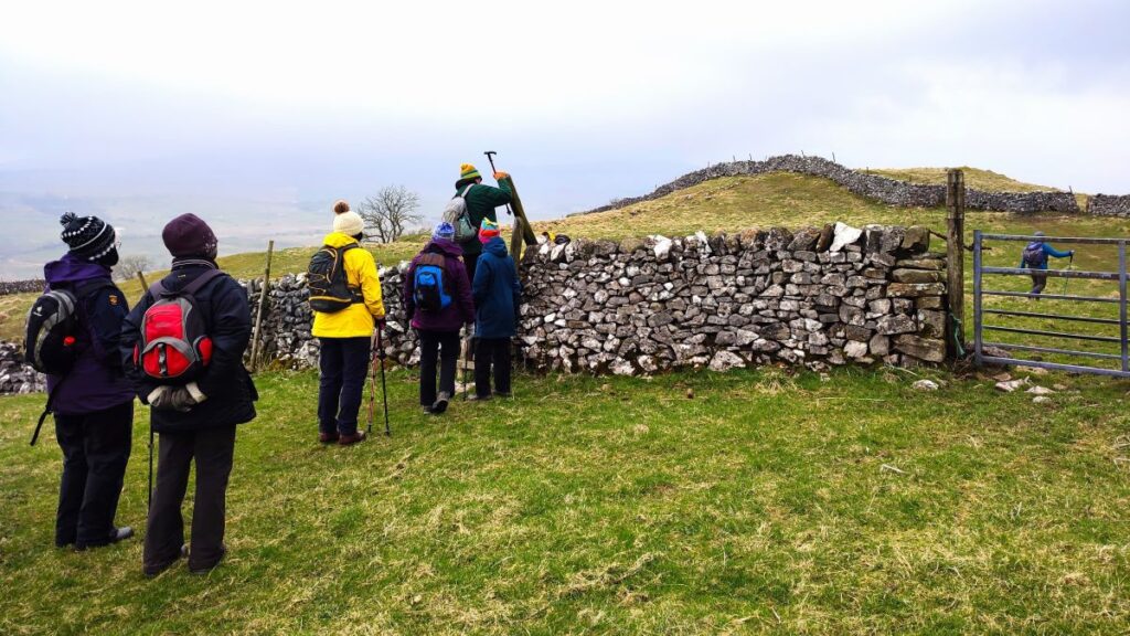
We now follow a drystone wall on our left, and soon see a barn ahead. The path goes over a stile in front of the barn, and then turns right to pass behind the barn so that we contour round the hillside heading northwest.
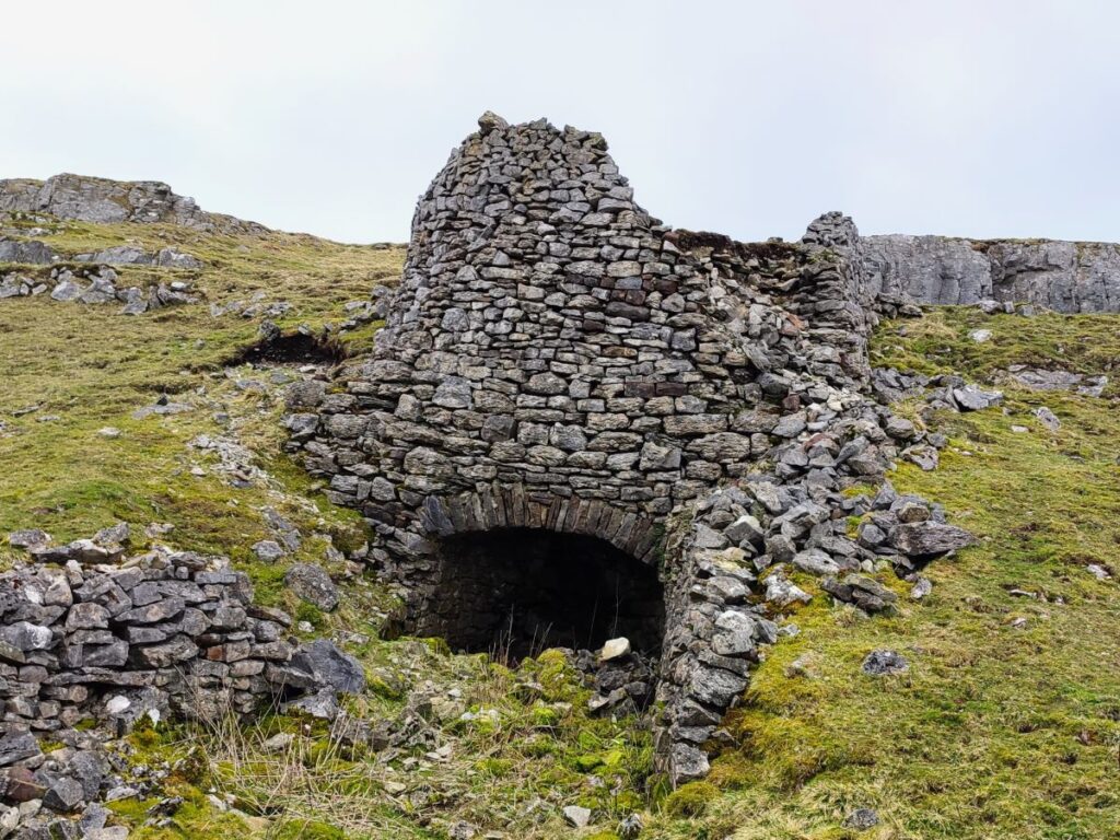
We have a further stile ahead, and then almost immediately a gate, after which we stay on the contours until we get to a further stile / gate pairing. Our landmark here is an old lime kiln over to our right.
From here there are two paths to choose from: We can see a ladder stile ahead – this is tempting, and is part of the ongoing Ribble Way, but our route for today diverts left onto a smaller path which heads downhill to a gate in the bottom corner of the field – if in doubt make sure you walk downhill and toward the Ribble and you will eventually see the gate and the minor road beyond it.
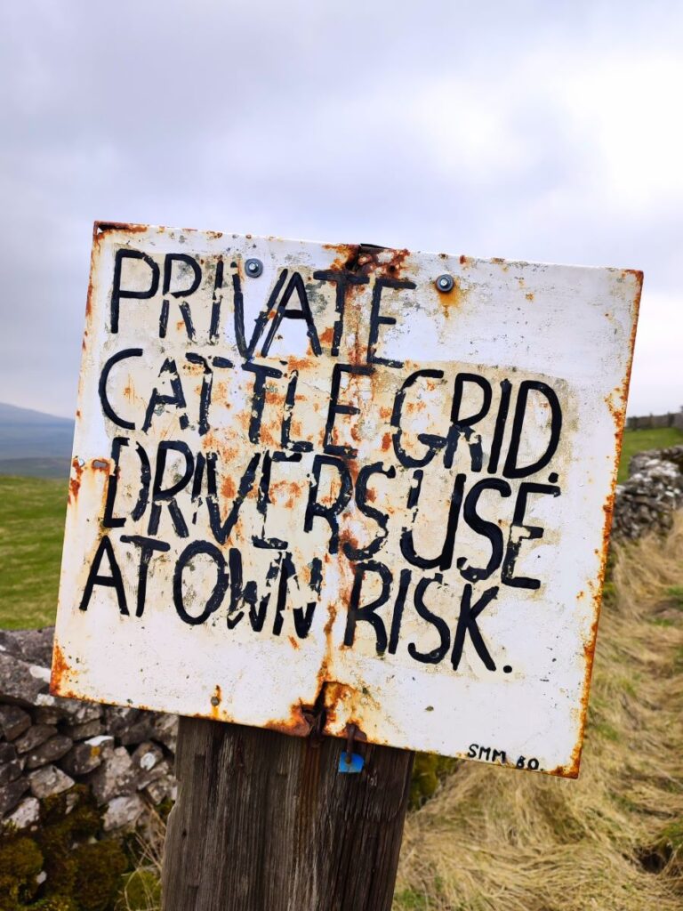
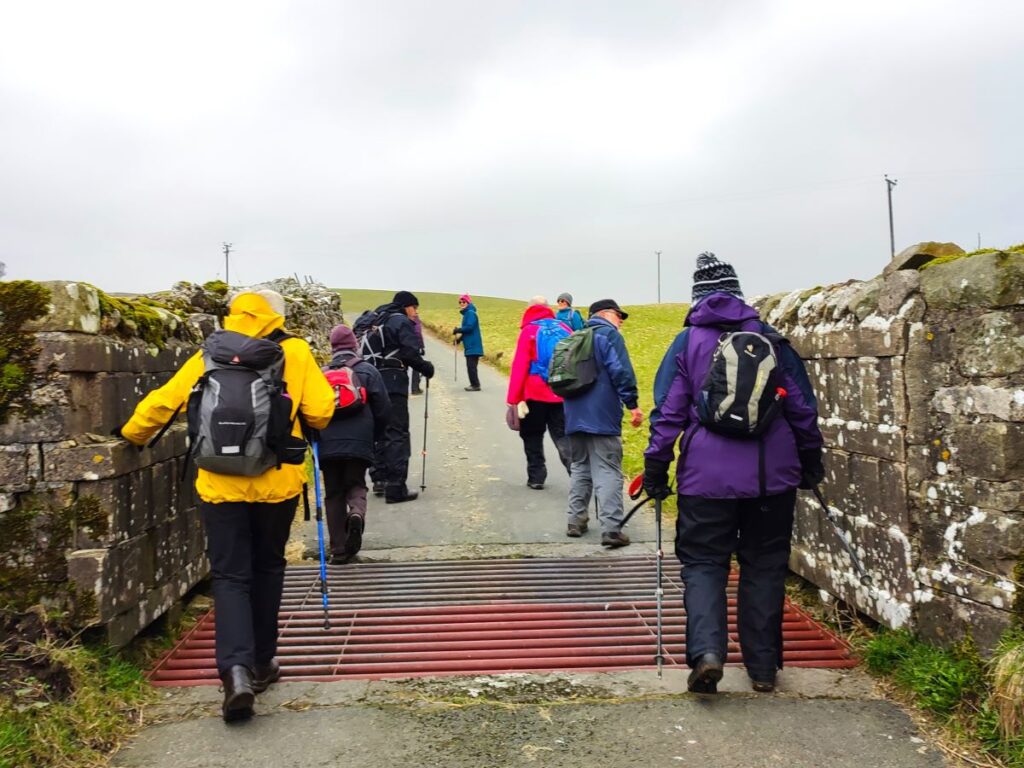
We turn right at the road and walk past a cattle grid to find a gate on the left (usually open) where we take a track which leads down to the Ribble – although the river is not yet visible. We are now on the Pennine Bridleway.
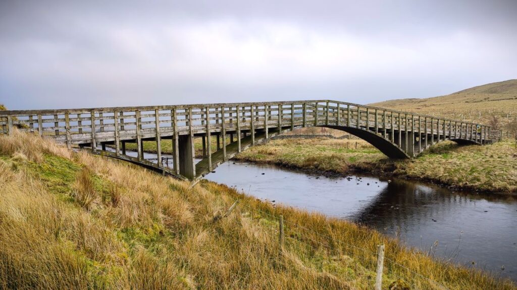
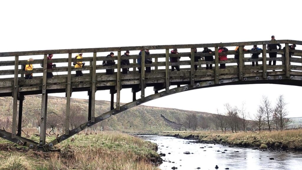
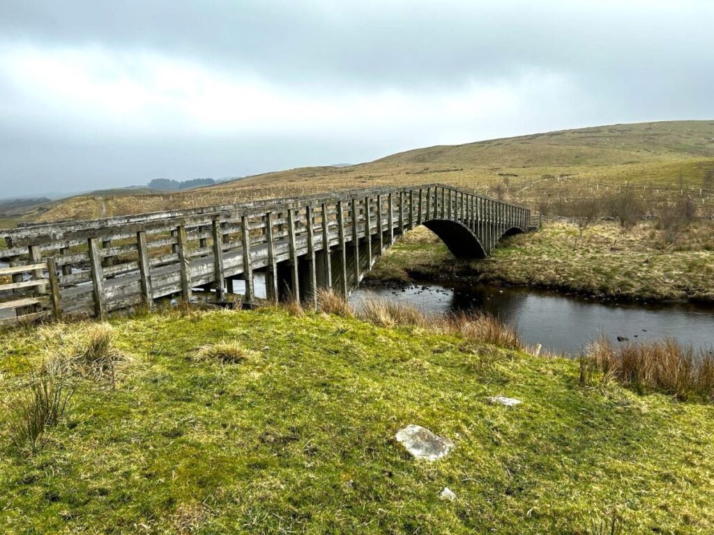
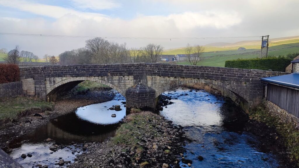
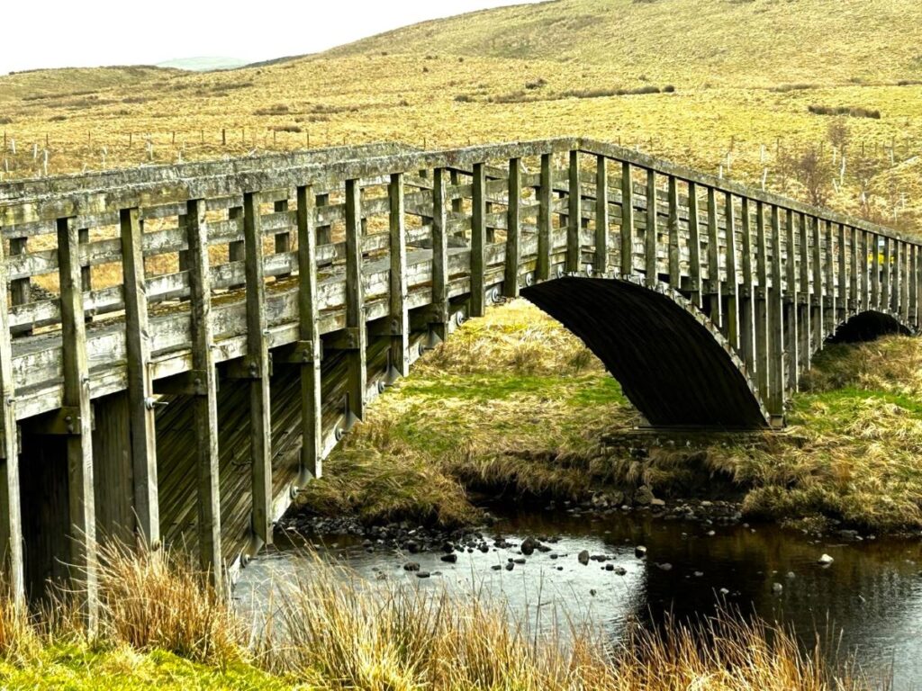
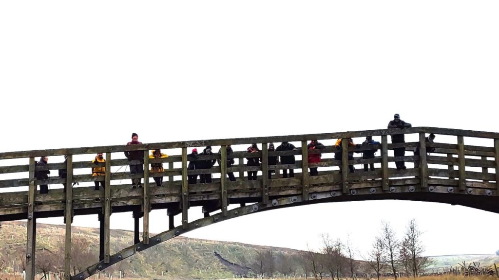
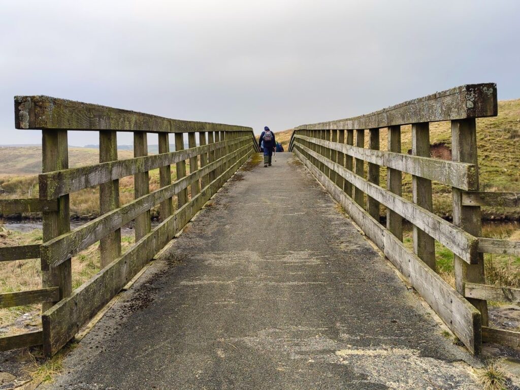
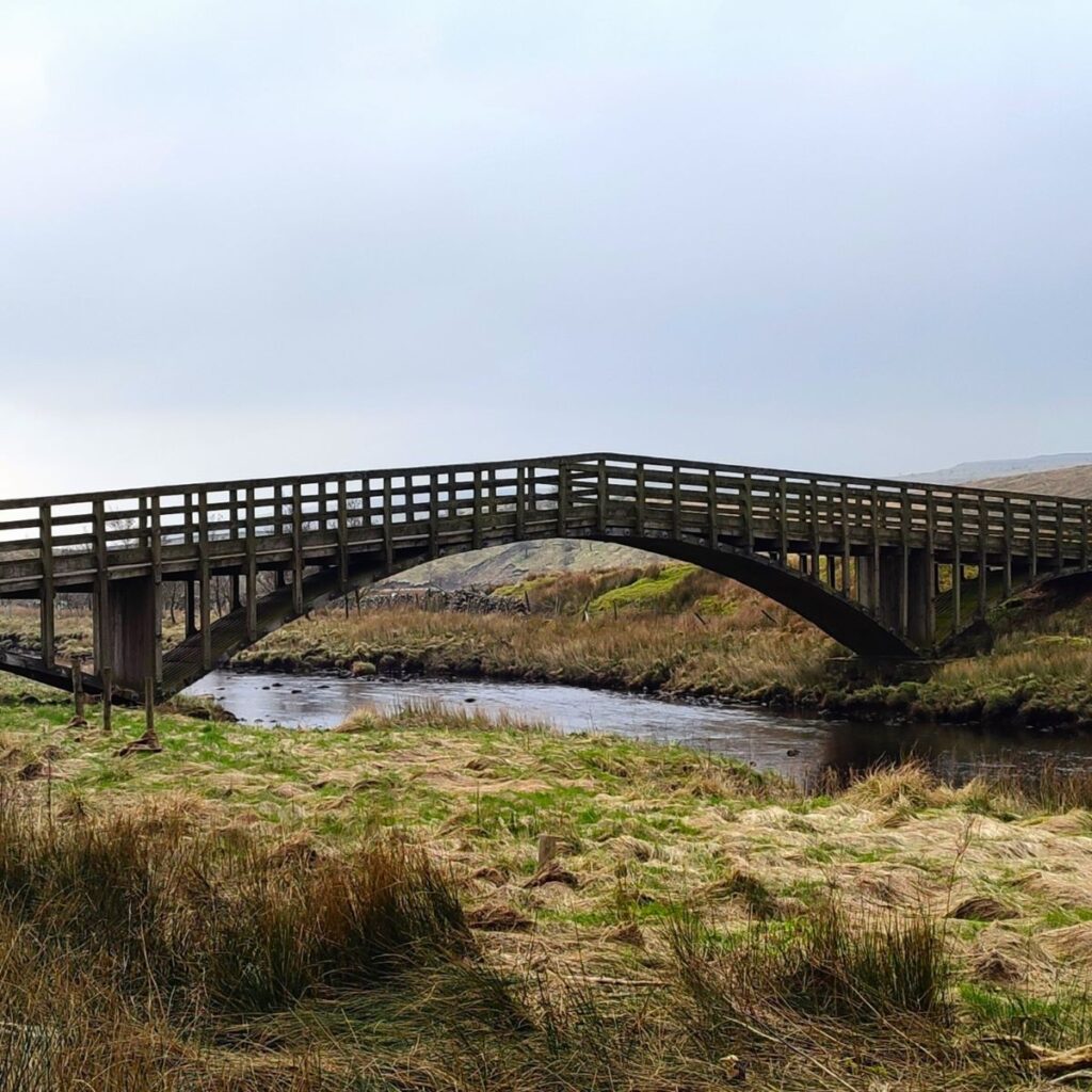
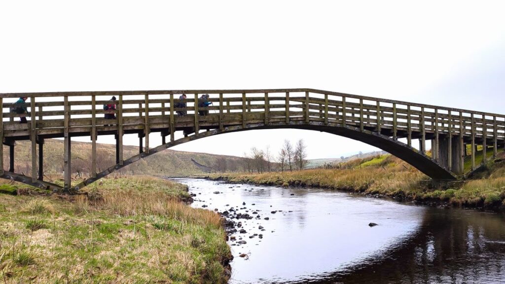
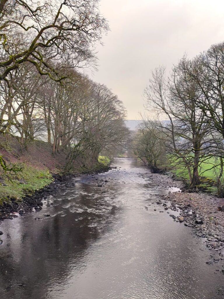
We follow the bridleway downhill and then head left past the front of Dale Mire Barn, and from here onward we can see the Ribble over to our right as we follow it downstream. After about 100m we start to see a spectacular wooden footbridge – this is Far Moor bridge. The bridge was installed in 2011 and is of an unusual and innovative design. Part of the design challenge arises from the status of the route as a bridleway – wooden bridges tend to oscillate when horses cross them, and many horses find this intimidating – which can lead to accidents, so a structure that remained stiff under all conditions was needed. A technique known as stress laminated construction was used, and at 53 x 2.5m, the Far Moor bridleway bridge is the largest example of a stress laminated wooden construction in the world. In addition to being functional, the bridge is rather beautiful, as can be seen in our gallery.
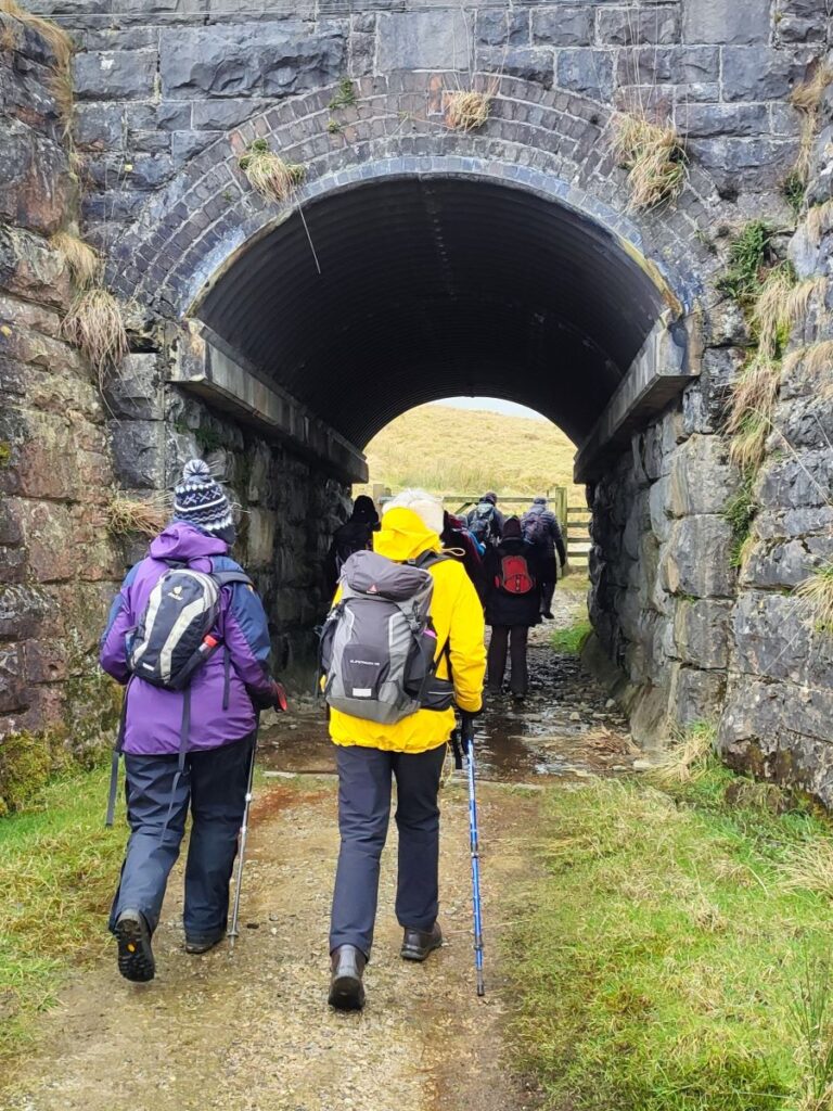
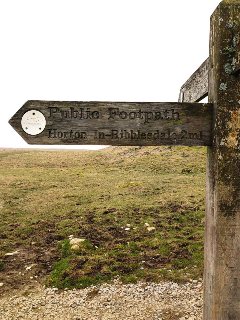
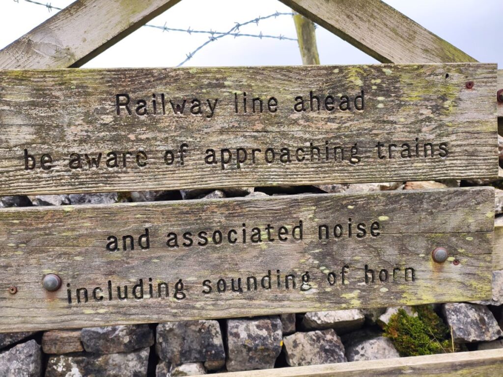
Once over the bridge we follow the track round to the Settle to Carlisle railway line, and take the tunnel under the track, before heading right to follow a clear path up to the B6479 – where we emerge at a layby – this is where we originally intended to park, and it makes a good alternate starting point for the route.
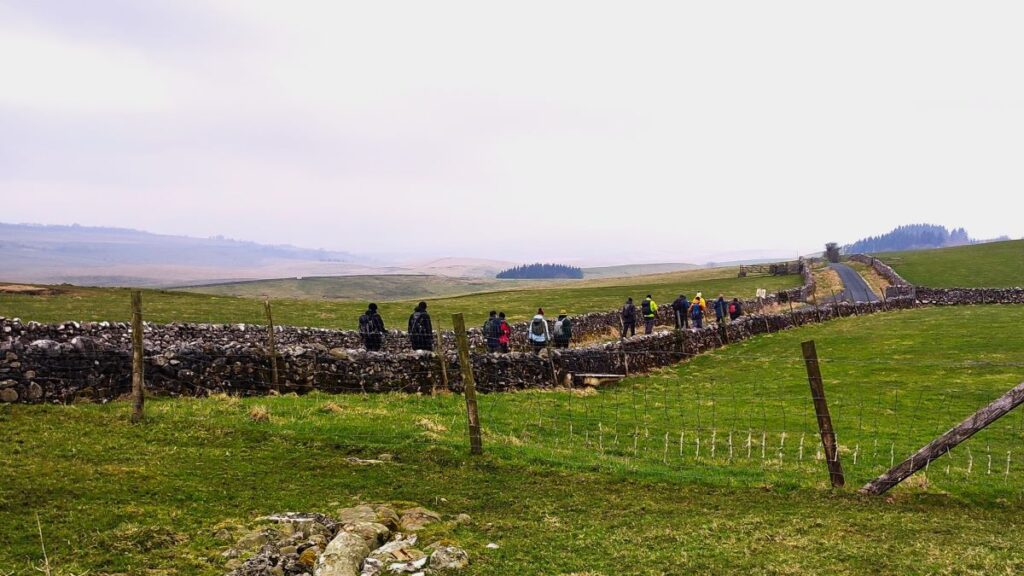
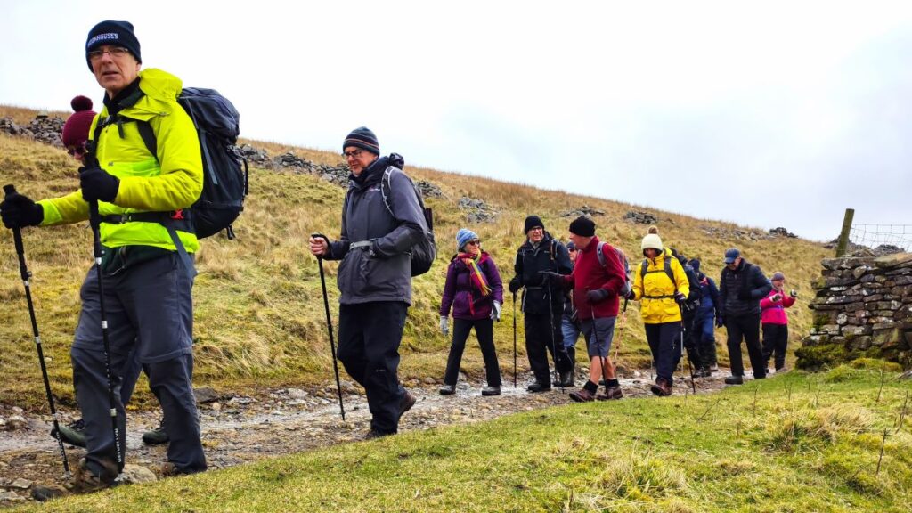
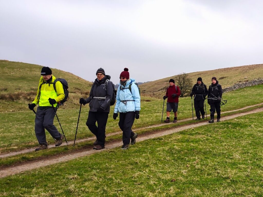
Opposite, the bridleway continues west up a farm track – we crossed the cattle grid, but horses use a gate just to the right. The track continues uphill, and after 100m arrives at a T junction. There is a right of way to the left – but our route today keeps to the right, and we follow the track uphill and then bear left. 100m further on, a track goes over to a farm, but we keep on heading west such that we soon pick up a drystone wall on our right – this is a well-used path so navigation should be clear.


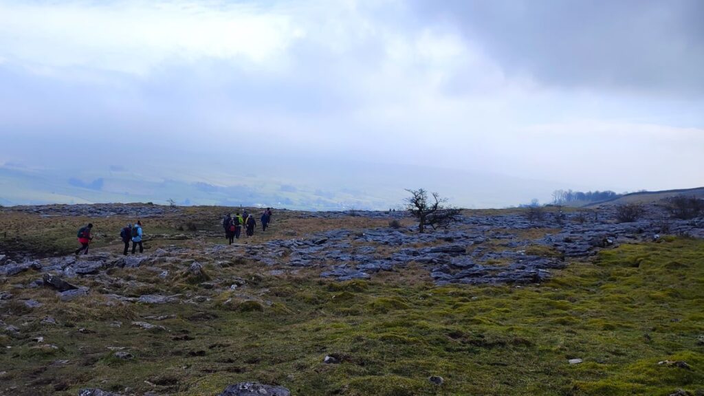
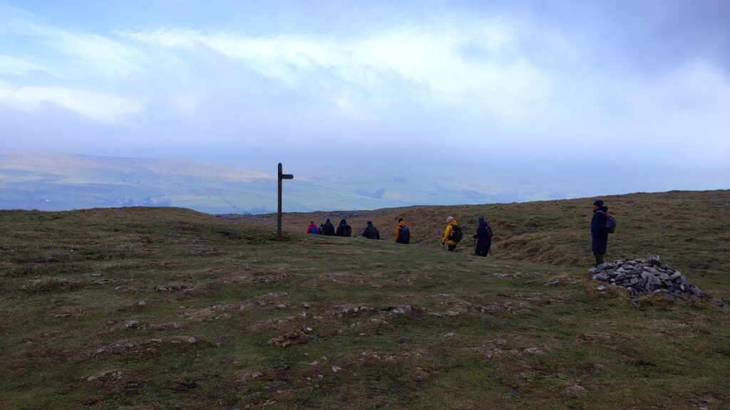
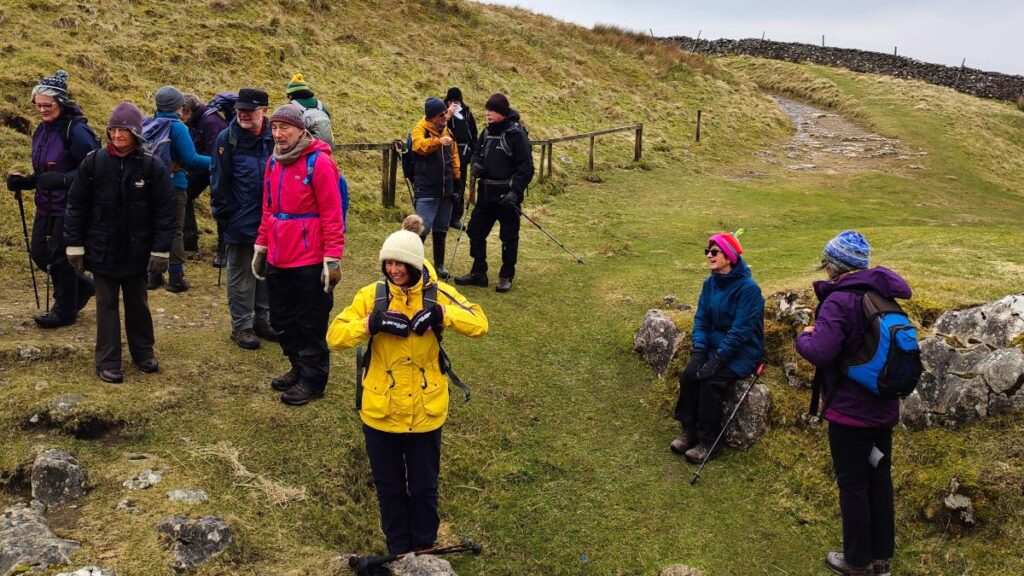
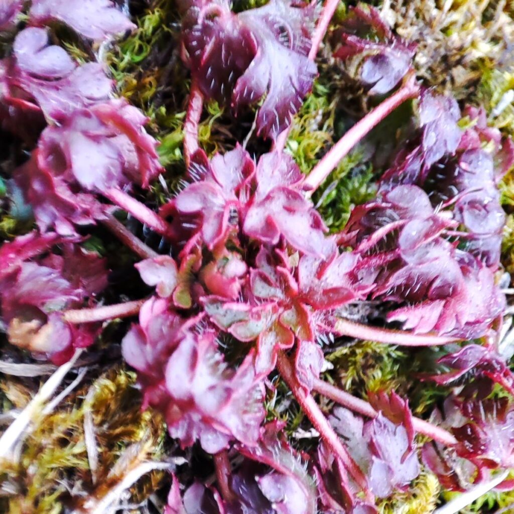
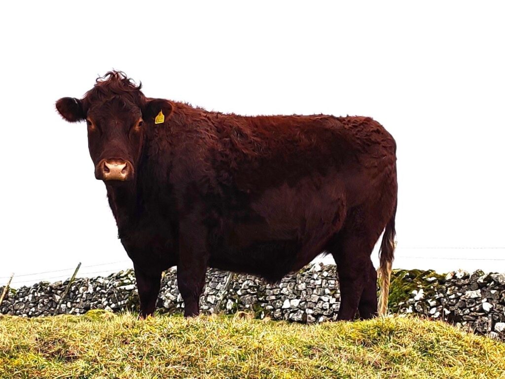
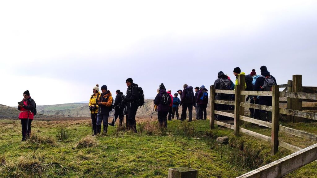
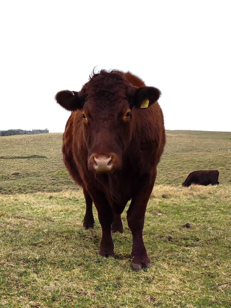
We cross a ford, and then a gate, and then need to look left to see a well signed gate and track heading up into the limestone upland of Ingleborough National Nature Reserve. This fragile landscape is managed by Natural England and is designated as a Site of Special Scientific Interest (SSSI) and a Special Area of Conservation (SAC). The reserve covers an area of 1,014 hectares and is one of the best places to see rare habitats and species which are strongly influenced by the underlying geology. Flora worth noting include Yorkshire primrose, bloody cranesbill, rock rose, juniper, bilberry, hare’s tail cotton grass, bog asphodel, and even carnivorous sundew. The fauna is equally interesting with curlew, brown argus butterfly, roe deer and various bats being seen. Part of the management strategy for the uplands is the periodic grazing of cattle, so expect to see them on this part of the route. Click here for more detail
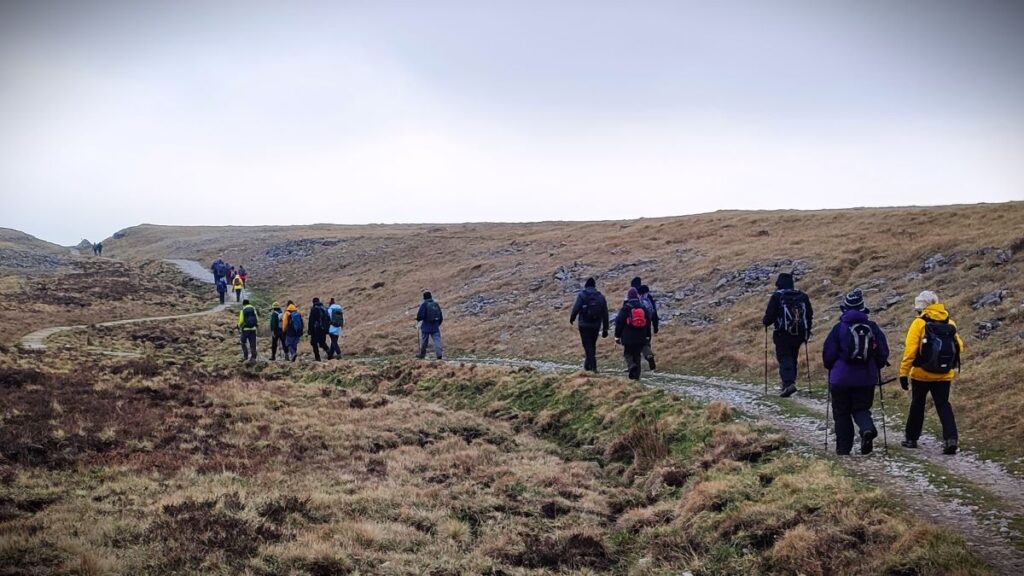
We press on through the nature reserve following yellow topped marker posts until we arrive at a gate, and then 200m later, a junction between the Bridleway we are using and the footpath between Horton and Ingleborough via Sulber Nick.
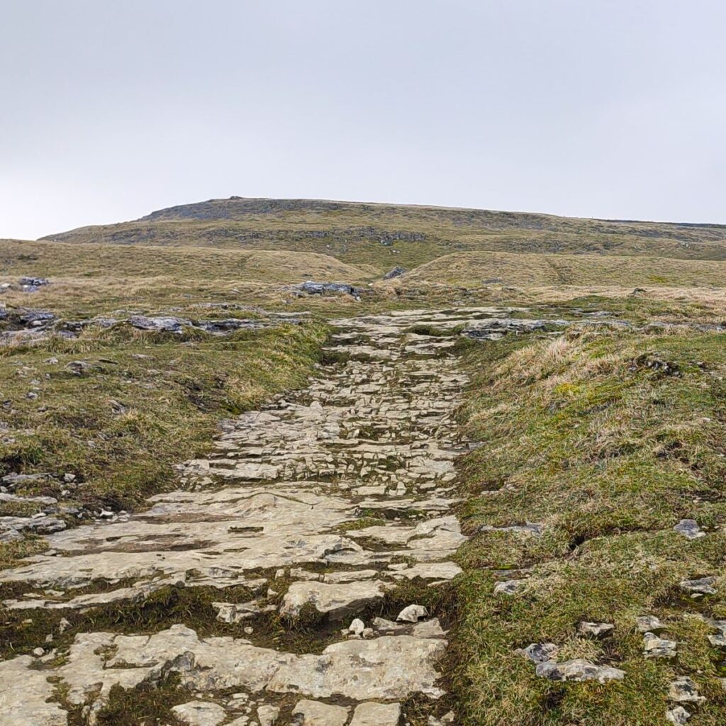
We turn left here and follow a path down through boggy land toward Horton. Please use the flagstones provided – not only does this ensure that the nature reserve remains protected, but it is the safest route. Click here for a short video of our walk down this section of the route.
We are now heading east first through open moor, then an area of limestone pavement and finally after 1000m or so, open grass land. We cross a farm track and continue with the footpath, and as we approach Horton, we notice on the OS map that there is a body of water indicated to our right. On the ground however there is no evidence of this – although there is still signage present warning visitors not to enter the water. If you look at the flythrough video, which is based on composite satellite images collected over a long period of time, there is indeed an azure blue pool to be seen. So where is it now?

This was a drainage pond that was part of the quarrying operations – and was referred to locally as the “blue lagoon”. The exact nature of the materials in the water that created the blue colour is uncertain, but environmental improvements at the quarry mean that the site has now been cleared, and the lagoon is no more.
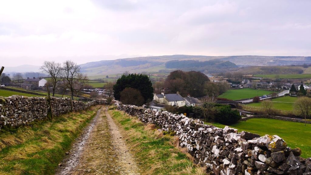
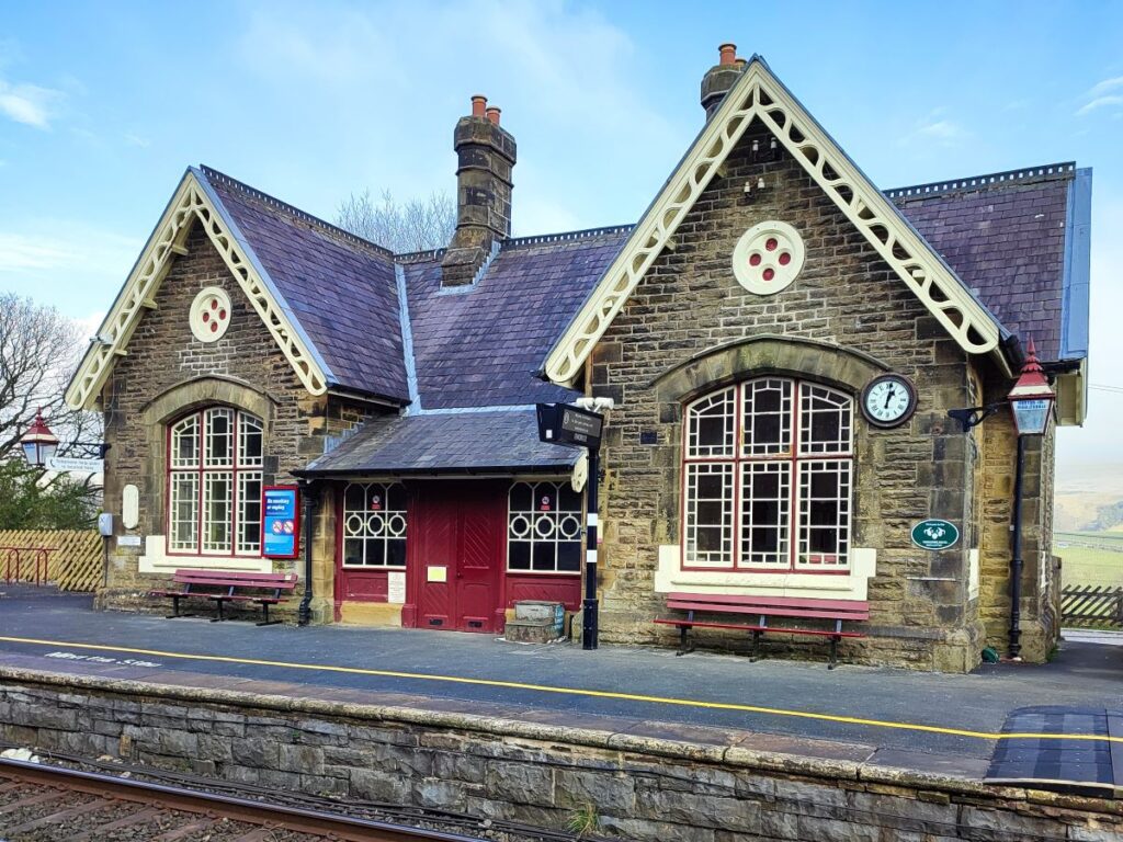
We continue to follow the path down to the railway station where we cross the line and then continue down to Horton where the walk ends.