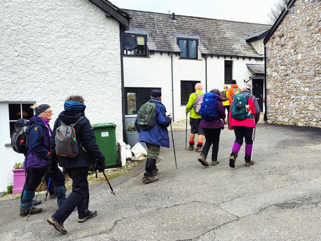
Jump to . . .Step by Step | OS Map | Downloads | Gallery | Fly through
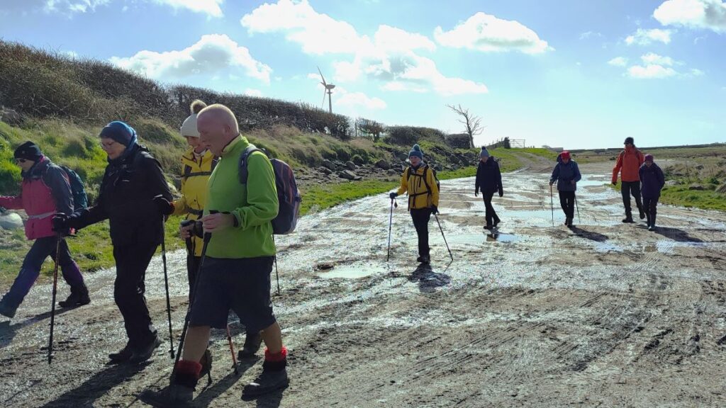
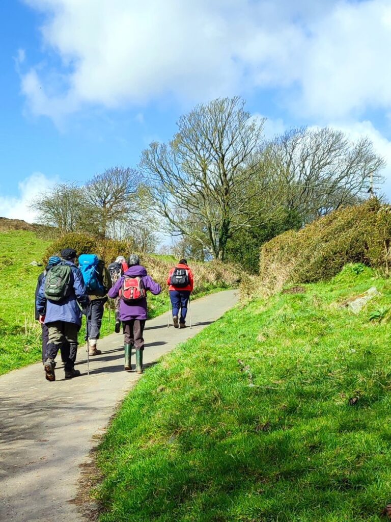
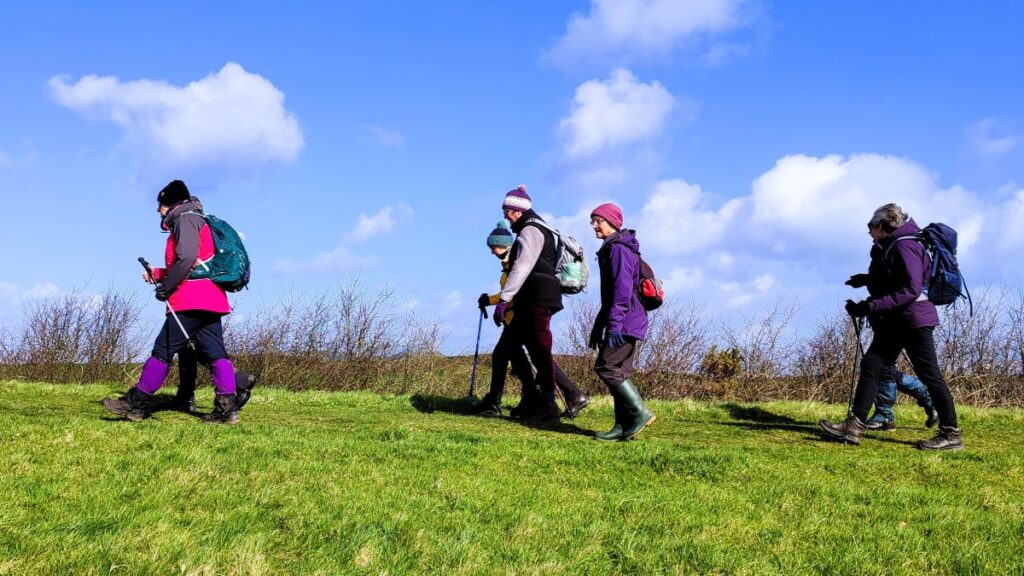
A number of Bentham Footpath Group walks feature views of Morecambe Bay – usually with the Kent or Levens estuaries as the backdrop to higher level walks such as those at Cartmel or Silverdale. This time we do the full seaside experience: Starting at Flookburgh, we walk along the coast getting sand on our boots for a while, before heading inland to Cark, on to Low Bank Side, then across the valley to Templand before returning on a route running through trees below Boarbank Hall. On the way we pass old airbases from both world wars, atmospheric salt marshes, bridleways across the bay, signs of the old shrimping industries, grand Italianate houses, and the odd lime kiln.
- Total distance 13.4 km (8.3 miles)
- Total ascent 138 m
- Moderate walk
Step-by-Step

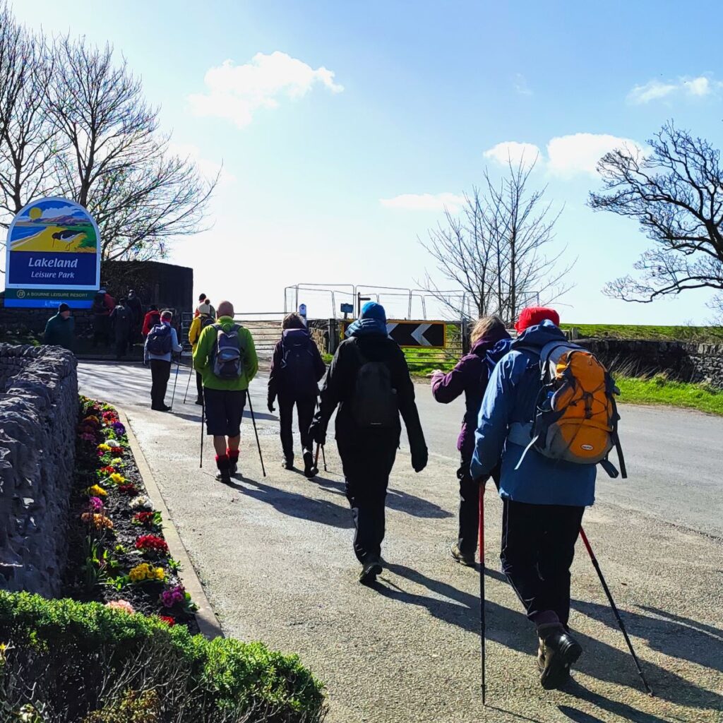
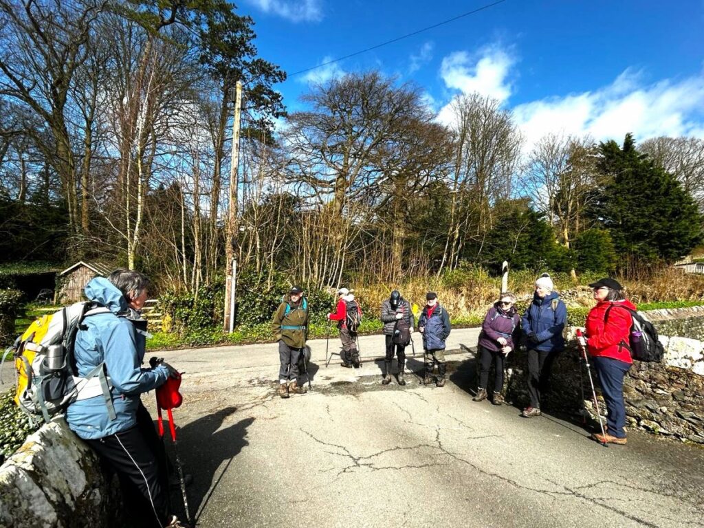
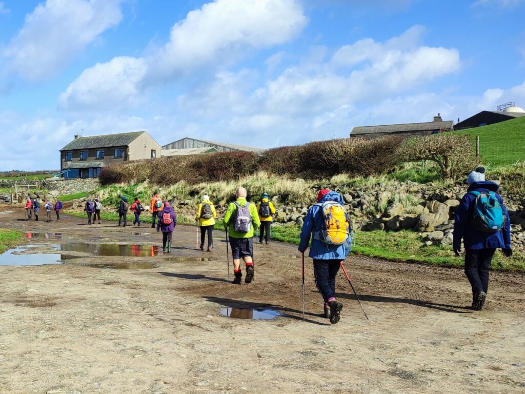
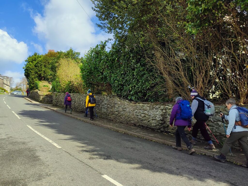
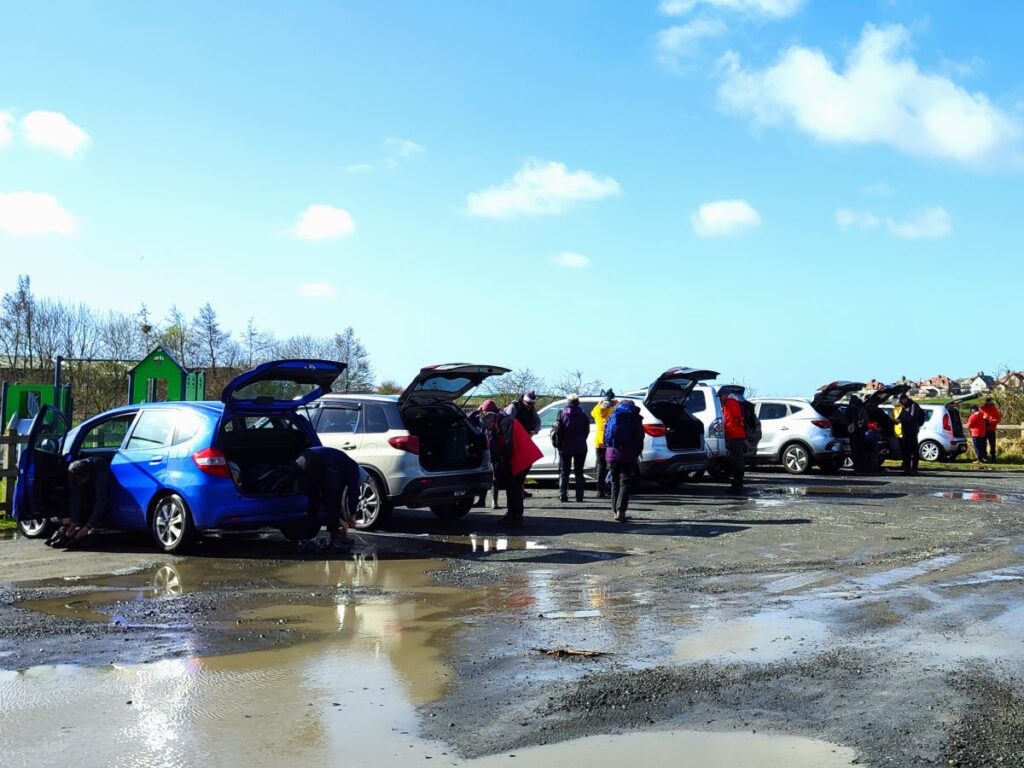
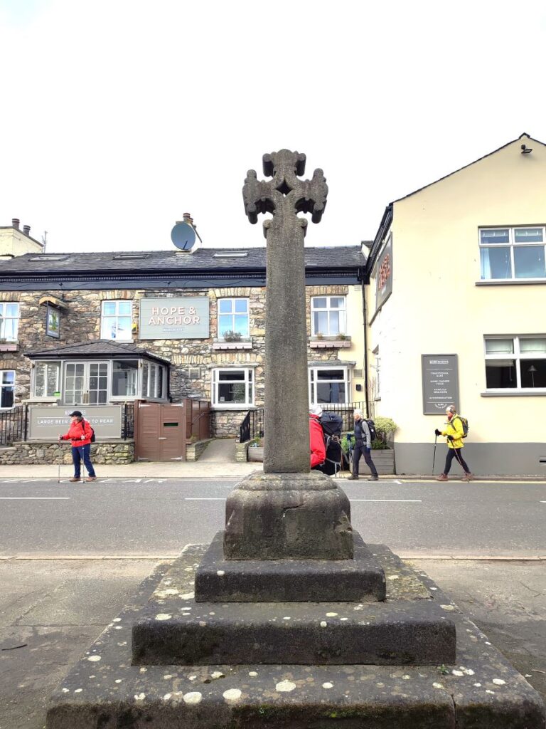
We start at Flookburgh, on the B5277. From Junction 36 of the M6, we take the A590 toward Kendal. Where the A590 becomes the A591, we turn left onto a continuation of the A590 heading to Grange-over-Sands, then at the roundabout just before Grange, we take the first exit on to the B5277, which we follow through Lindale, Grange, Kents Bank and Allithwaite. As we enter Flookburgh, we spot the Hope and Anchor pub, and take the small road opposite, following it down to a carpark on the right next to the playground. If you are using Satnav to get there then try Moor Lane, LA11 7LS as an address. If you prefer paper maps then the grid reference if SD3670547, whilst the carpark is pinpointed by the what-3-words tag roving.afternoon.bangle
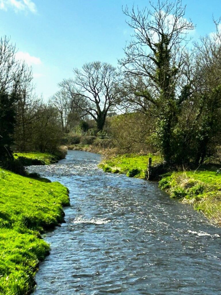
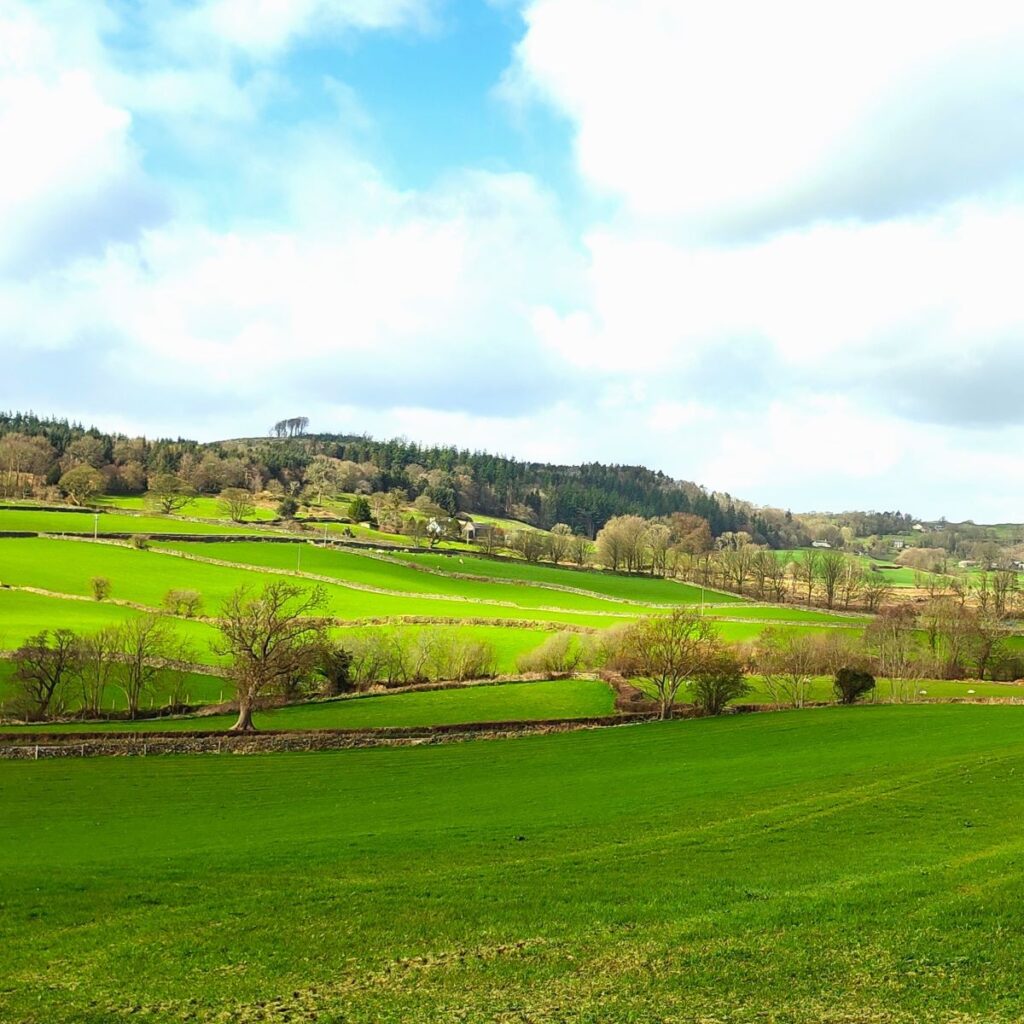
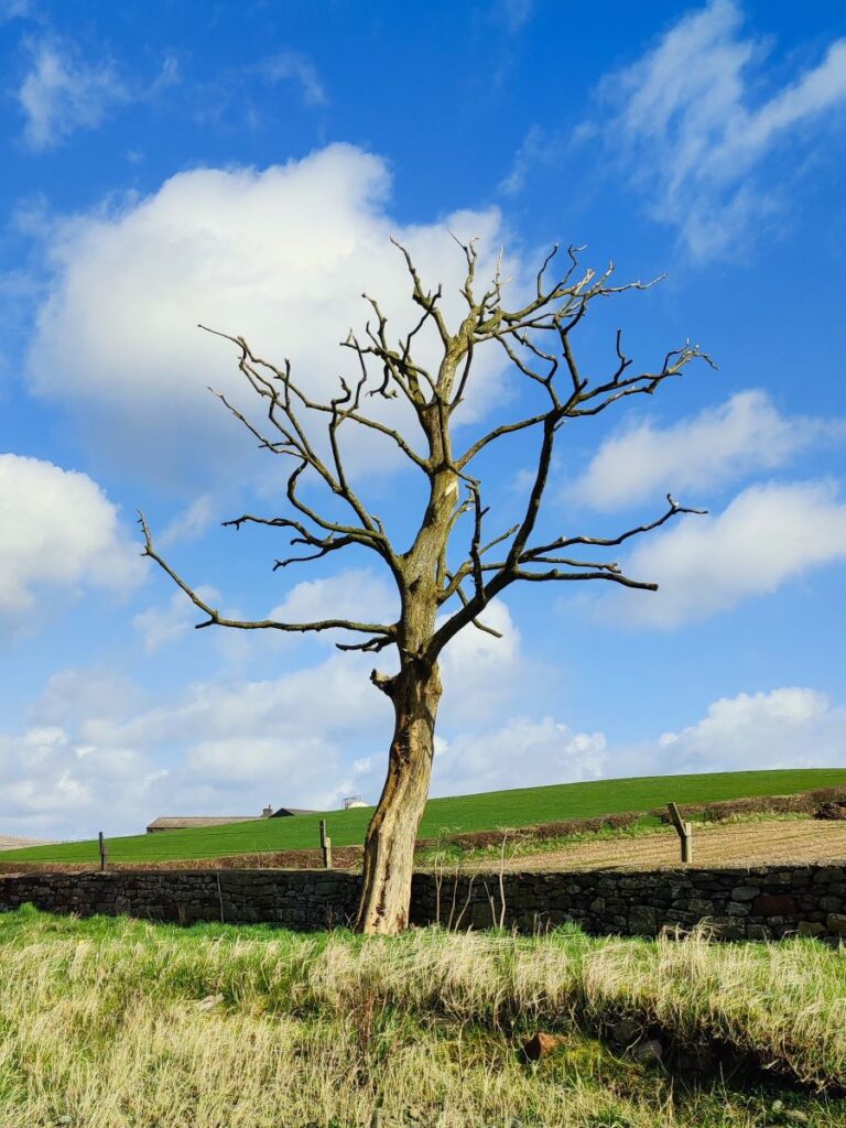
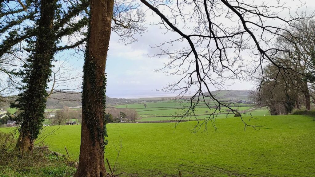
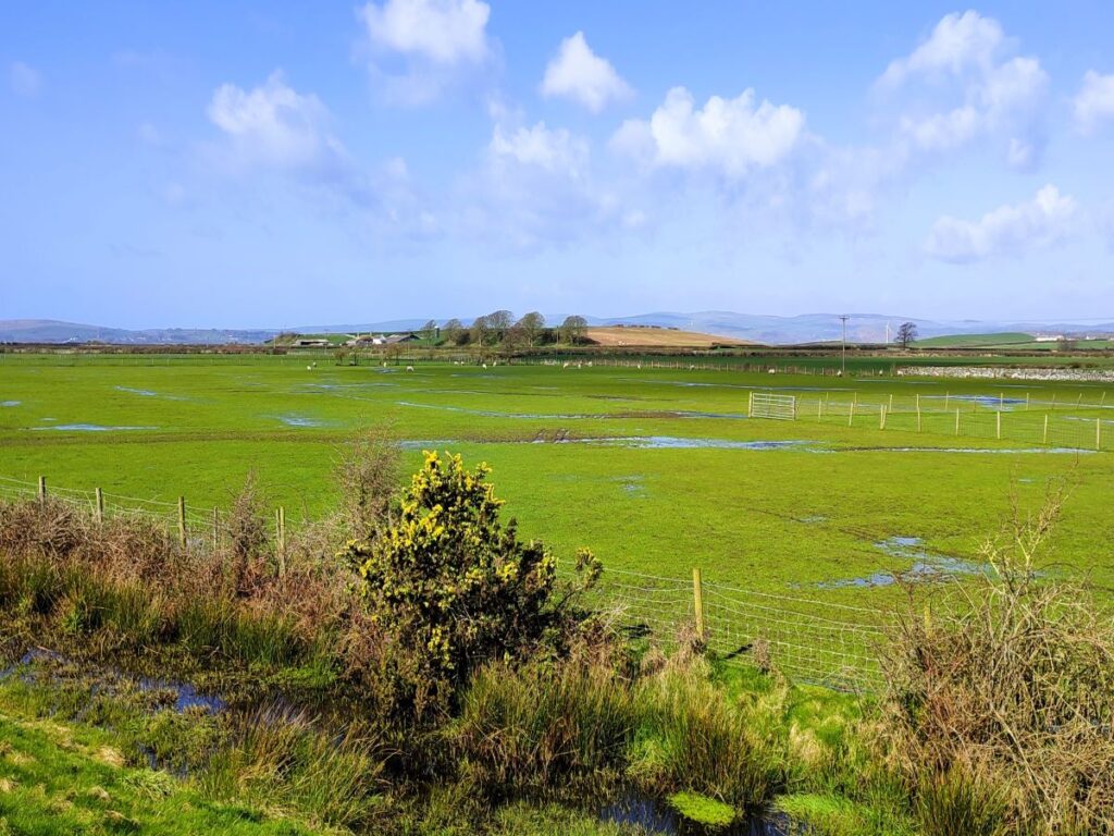
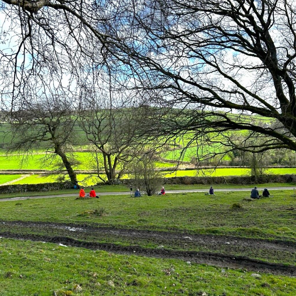
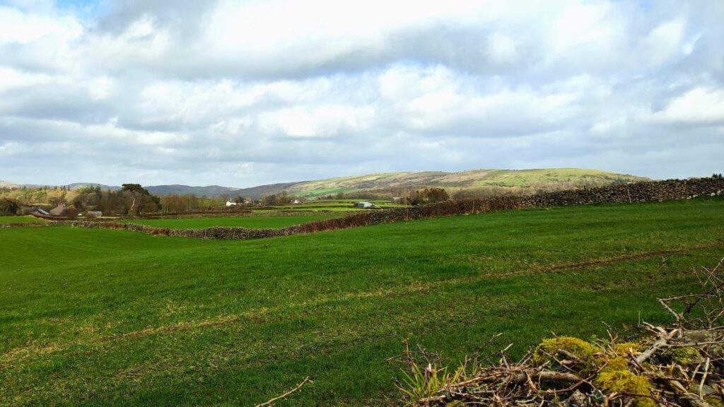
From the carpark, we turn right, and walk down a long and very flat road toward the coast. This is an unusual landscape for our group – and a glance at the OS maps shows not a single contour line – it feels almost like Fenland.
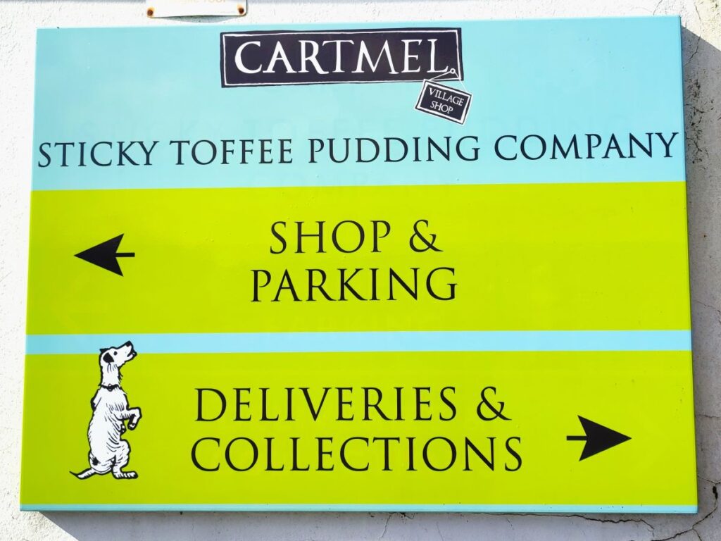
As if to reassure ourselves that we are indeed still up North, we soon see the manufacturing premises for the Cartmel Sticky Toffee Pudding Company. As the name implies, this delicious and traditional pudding started life in the back kitchen of the village shop in Cartmel, but ever-growing demand means that they now need a bigger site.

Soon after, and on the other side of the road, we note signs for Skydive Northwest, and as we look to the left, we also note a windsock, a clue that we are passing Cark Airfield. Aviation at this location can be traced back to the first World War, when the Government needed a site to build airships. In 1917 work began to build an airship station as a subsidiary of Vickers of Barrow in Furness. The site was deliberately kept separate from the main plant at Barrow to reduce the security risk.
Significant infrastructure would be required including 250 houses for staff, and so a branch line to bring in building material was constructed from the railway line between Lancaster and Barrow that passes close by. In March 1917 work began on what was then known as Flookburgh Model Aero Village. In order to save time, the house designs were copied from a similar facility at Inchinnan, near Glasgow and by the end of 1917 nearly 120 houses had been completed.
However, the airship shed project that had started in July 1917 was cancelled by the Government in September 1917, largely due to difficulty in obtaining steel to build the required hangars. No further houses were started, and the railway line was also removed. The housing estate, now known as Ravenstown, is located on raised land to the southwest of Flookburgh village, and a glance at the OS map shows signs of the curious history – what was clearly intended to be an outer crescent was left unfinished for example.
The site remained in government ownership and was again pressed into service during the second world war. Opening in 1941, RAF Cark was designed primarily to operate as a fighter station under the control of No.9 Group, RAF Fighter Command. Its function was to provide protection to the industrialised areas of northwest England. In 1942 usage was taken over by RAF Flying Training Command. On the same day, a new unit, the Staff Pilot Training Unit, was created under the command of No.25 Group using aircraft such as Hawker Hurricanes, Miles Martinets and a while later Supermarine Spitfires. Avro Ansons were also employed at the Station along with a de Havilland Tiger Moth used as a communication aircraft between the RAF Cark and RAF Millom. RAF Cark was also used for Anti-Aircraft gunnery training.
RAF Cark was sold off by the Air Ministry and was subsequently used as a venue for gliding and skydiving – to see a BBC Secret Britain Clip on skydiving from this location, click here

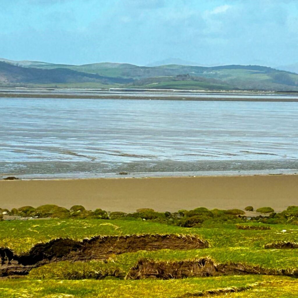
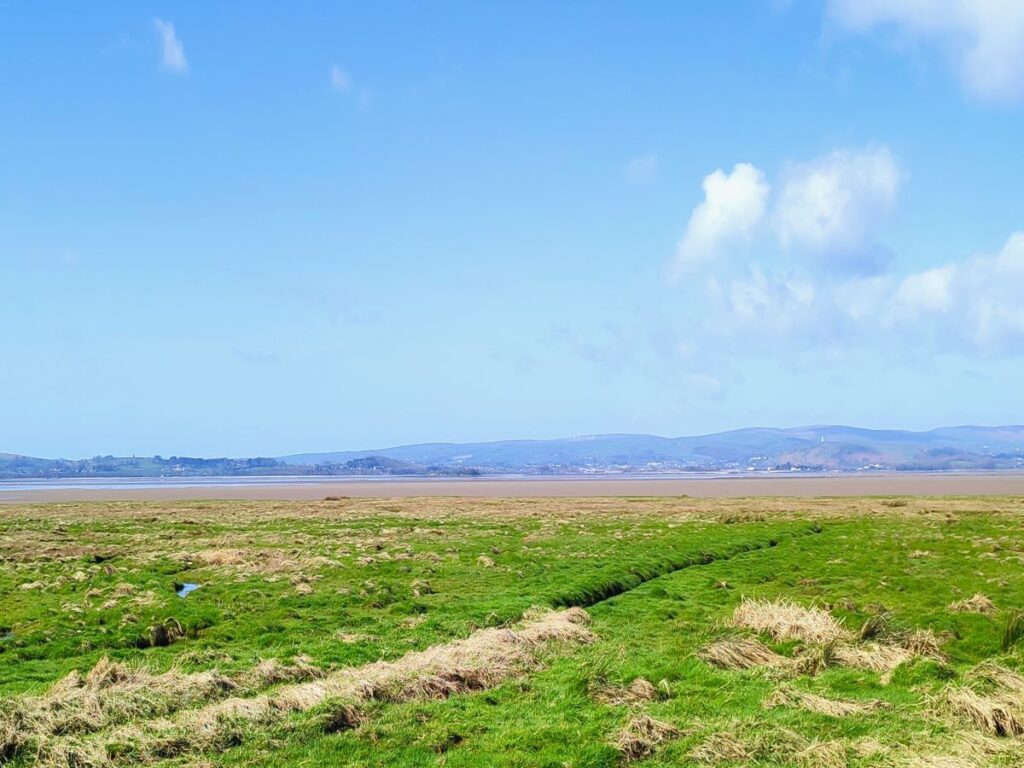
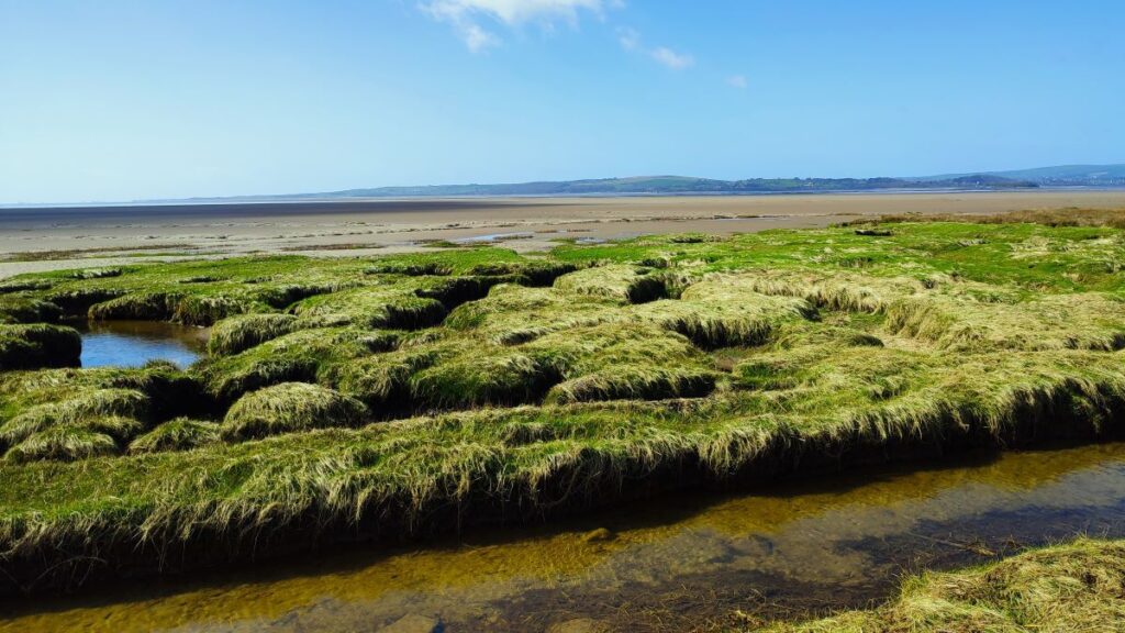
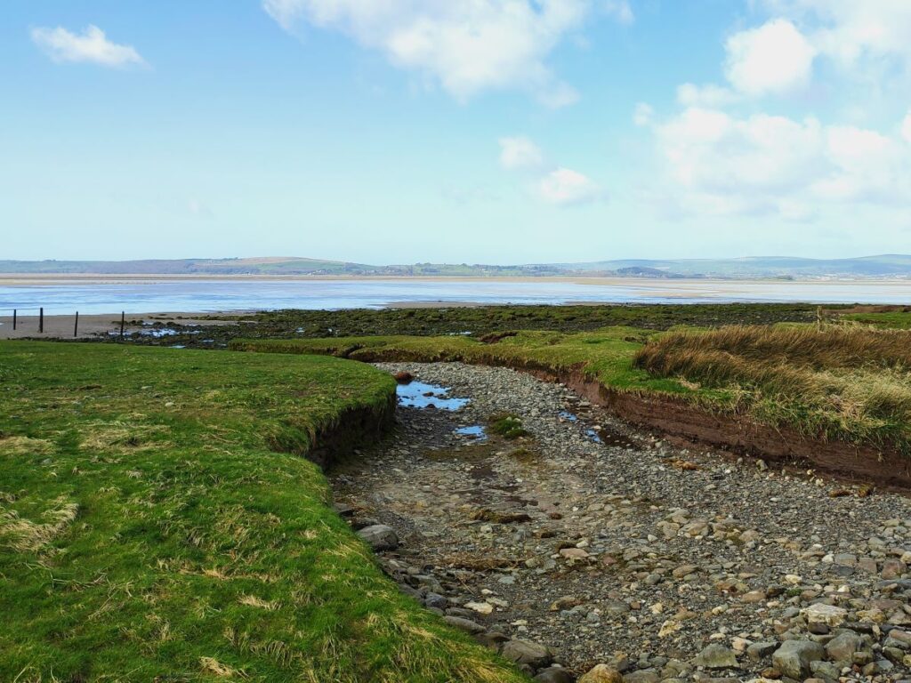
We continue down Moor Lane until we get to the end, and where the road takes a sharp left turn, we go right onto a footpath along the edge of the salt marsh. This area, called Low Marsh is currently used as a grazing area for sheep – producing salt marsh lamb, a well-regarded delicacy, however plans are currently being considered to dig a series of lagoons such that the area becomes a permanent wetland attracting a wider range of bird species. Click here to find out more.
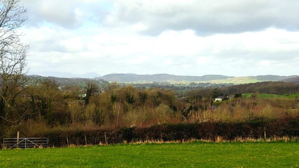
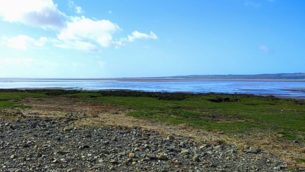
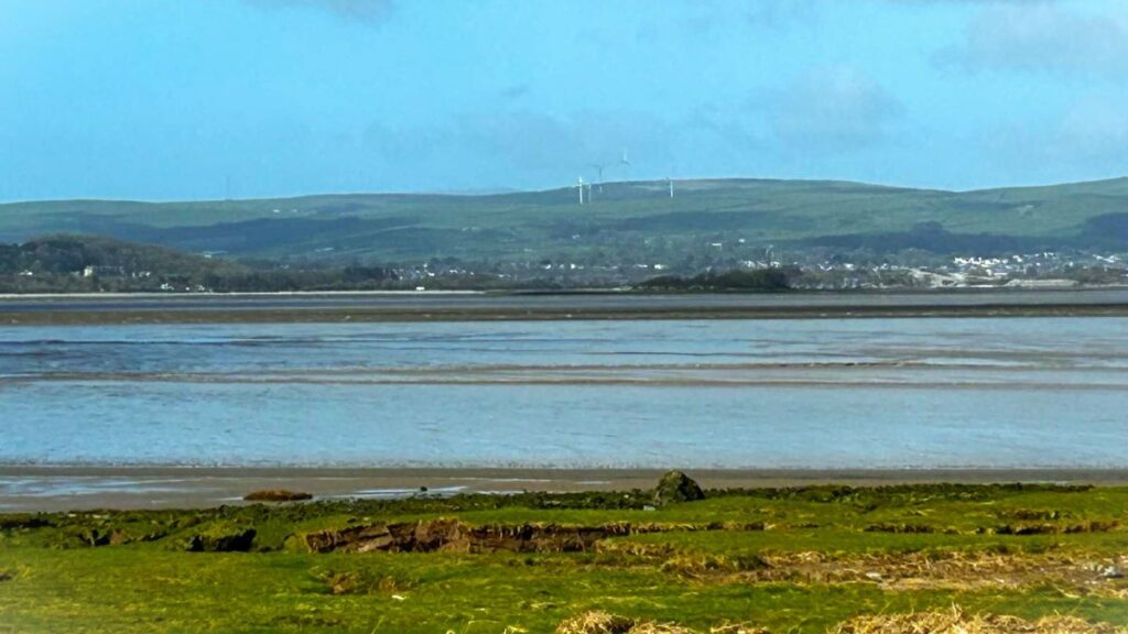
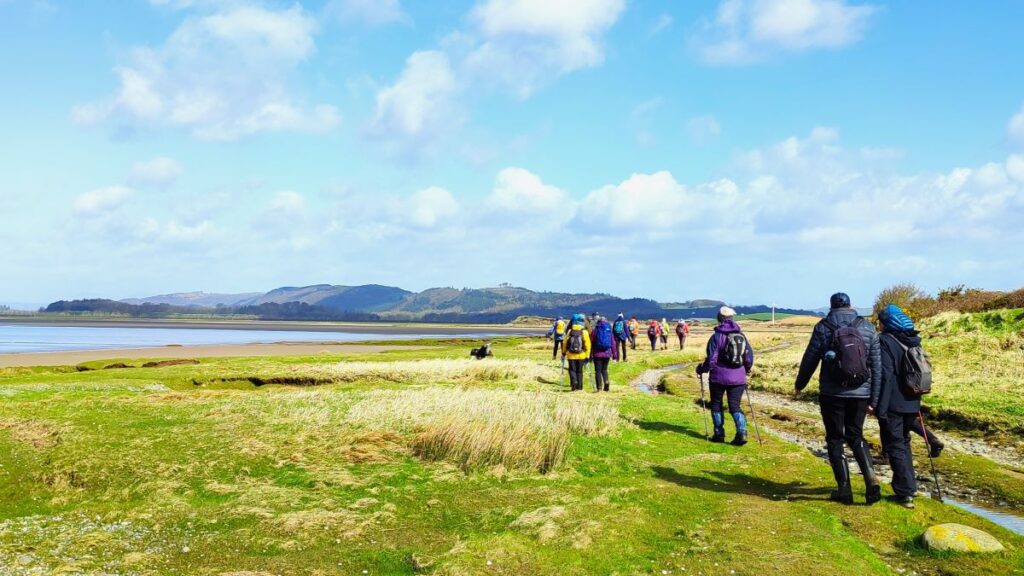
We follow the path around the edge of the salt marsh, and eventually arrive at Cowpren Point – where the path heads right and up the side of the Levens Estuary. From here on, our view is across to Ulverston – where we can see the Hoad Monument (officially called the Sir John Barrow Monument) a 30m lighthouse-like tower at the top of the 133m Hoad Hill which commemorates Sir John Barrow (1764-1848.
To see a panorama shot across the estuary, click here

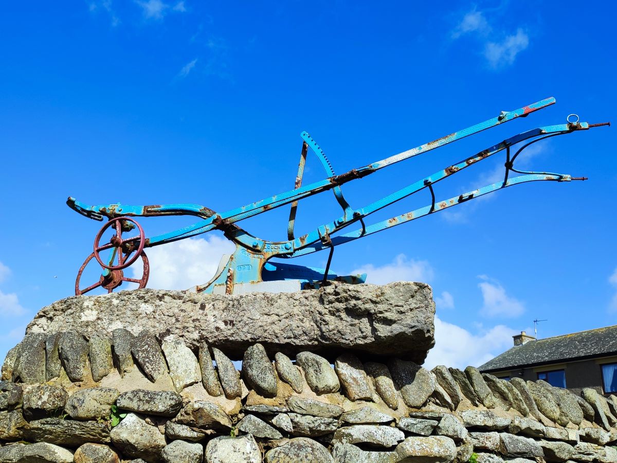
We follow the path round the edge of the estuary passing the abandoned carts once used in shrimping, until we get to a farm with a distinctive blue plough atop a wall – next to that plough we see a track which heads inland at Sandgate Shore. Worth noting here is that this part of the shoreline is a starting location for guided walks across Morecambe Bay, via Chapel Island and on to Canal Foot. The only safe way across the bay is as part of an expert guided walk – as the OS map points out: “Public rights of way across Morecambe Bay are dangerous”. To find out more about guided walk, click here
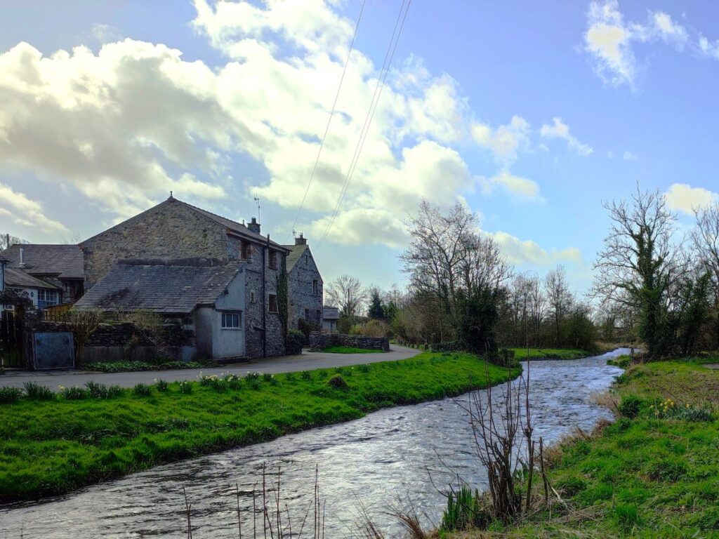
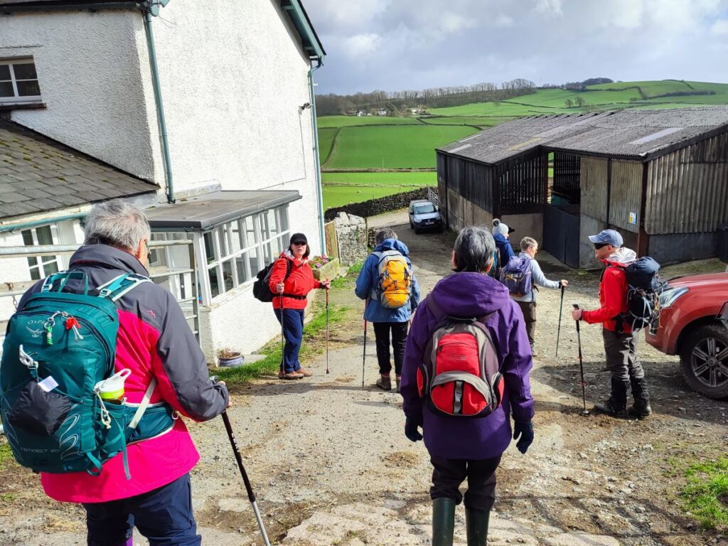
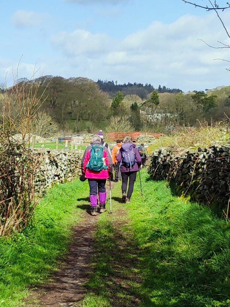
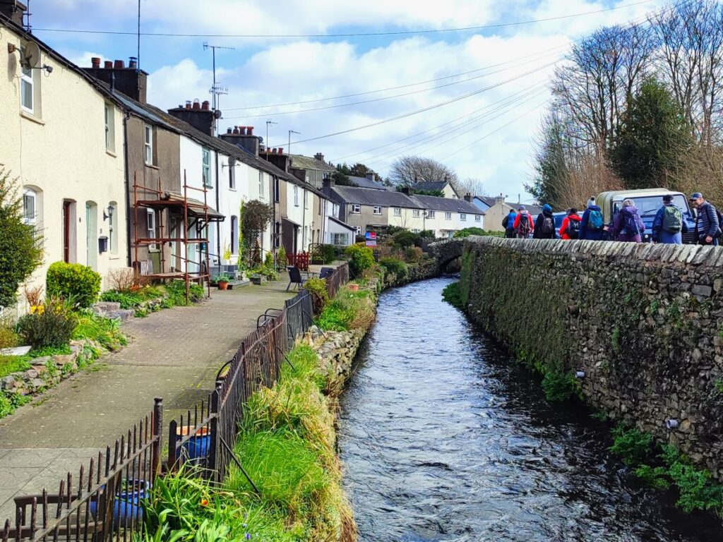
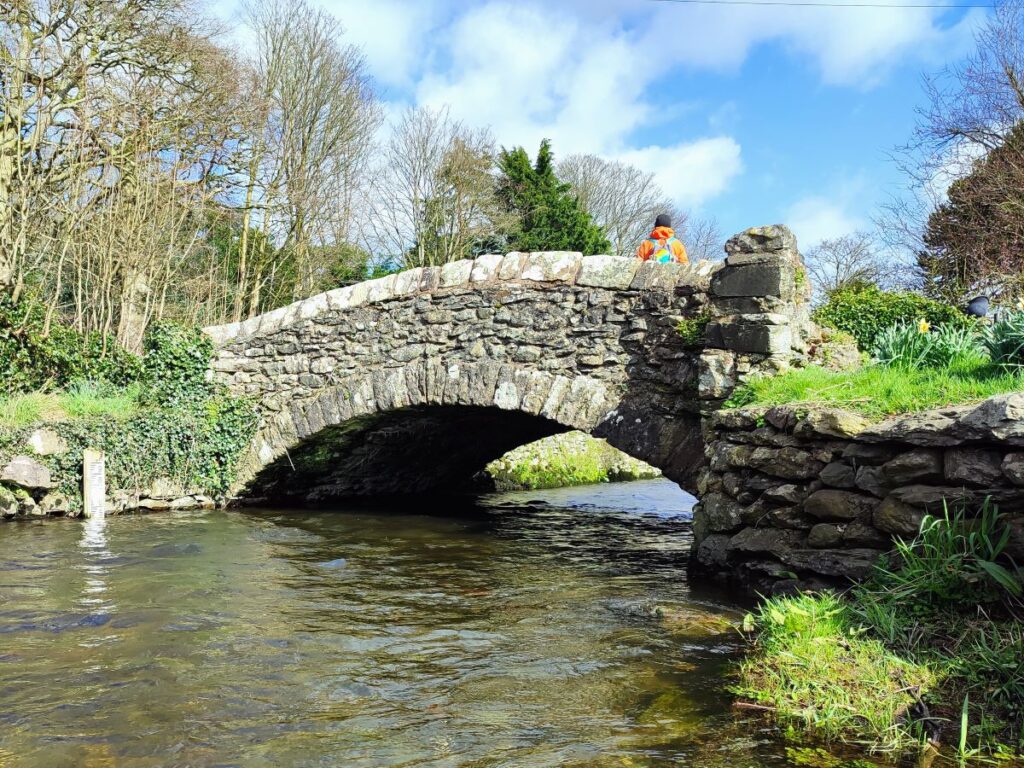
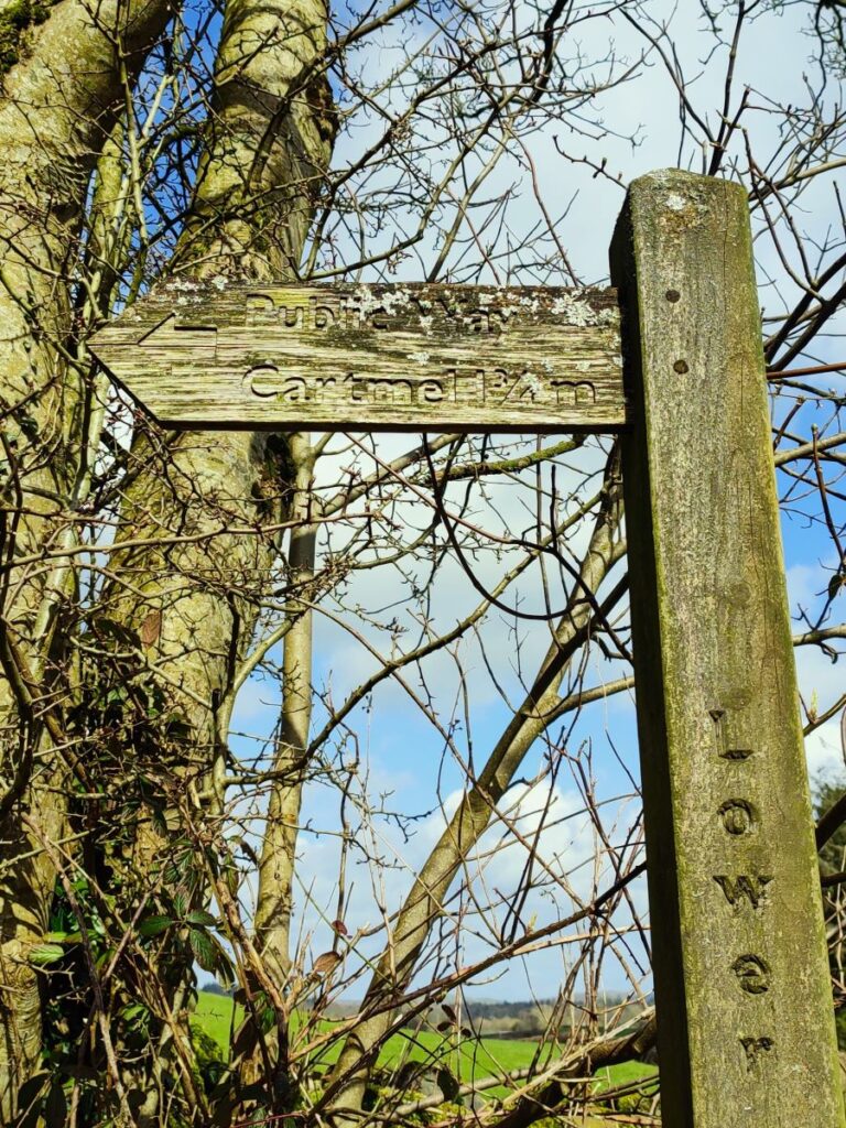
We now head inland up the lane next to the farm. The track forks after 50m – we keep left. It forks again after another 50m, with our route being to the left. We are now on an enclosed green lane with open fields to our left, and we continue for another 300m until we see a signpost for Cark ¼ mile – this takes us across a field to the railway line where we exit onto a track adjacent to the oddly named river Eea – we go right here and follow the river up to Cark, where we cross a lovely packhorse bridge, then turn right to follow the flow upstream.
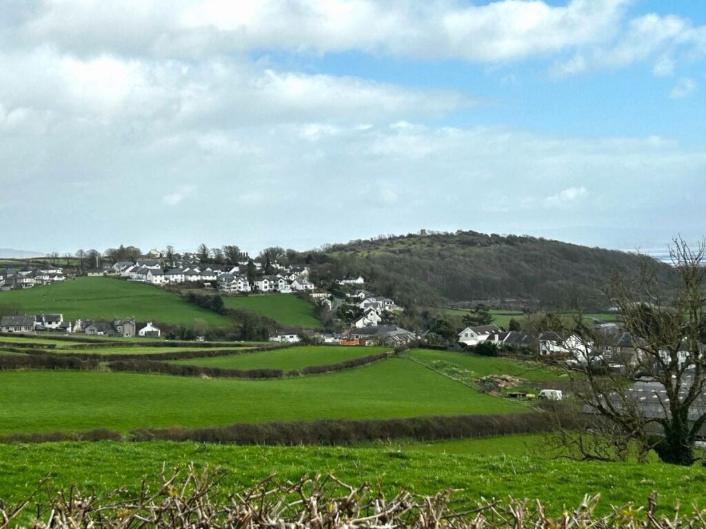
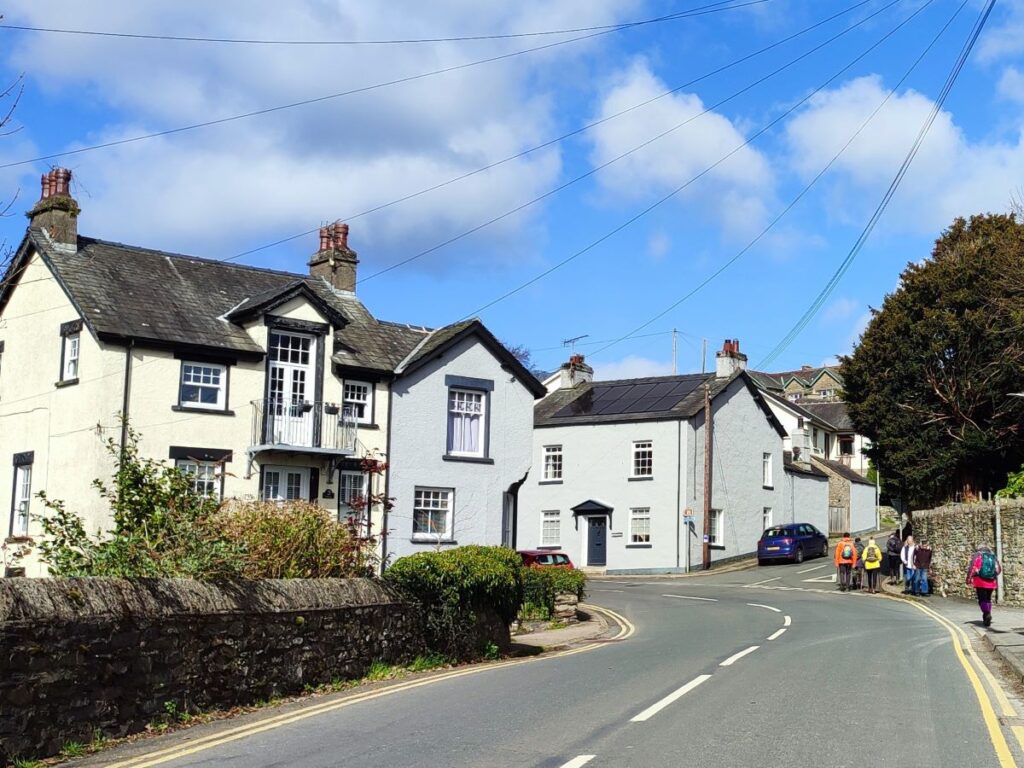
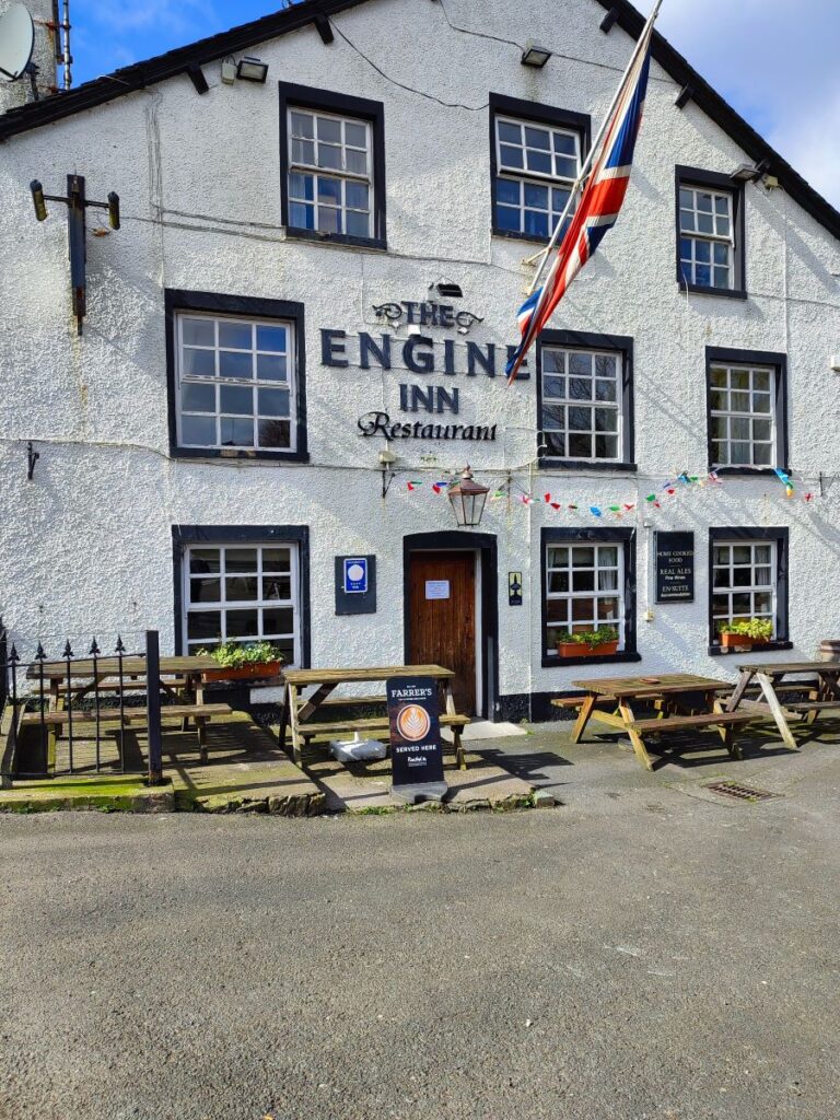
The river runs right through the centre of Cark – and was once the source of power for a cotton mill which operated between 1785 and 1815. Cark (also sometimes referred to as Cark in Cartmel, is a very attractive village, largely unspoiled by tourism, and is well worth taking time out to explore – it boasts two pubs and a station design by architects Austin and Paley on one of their days off from church commissions. For more detail about Cark, click here

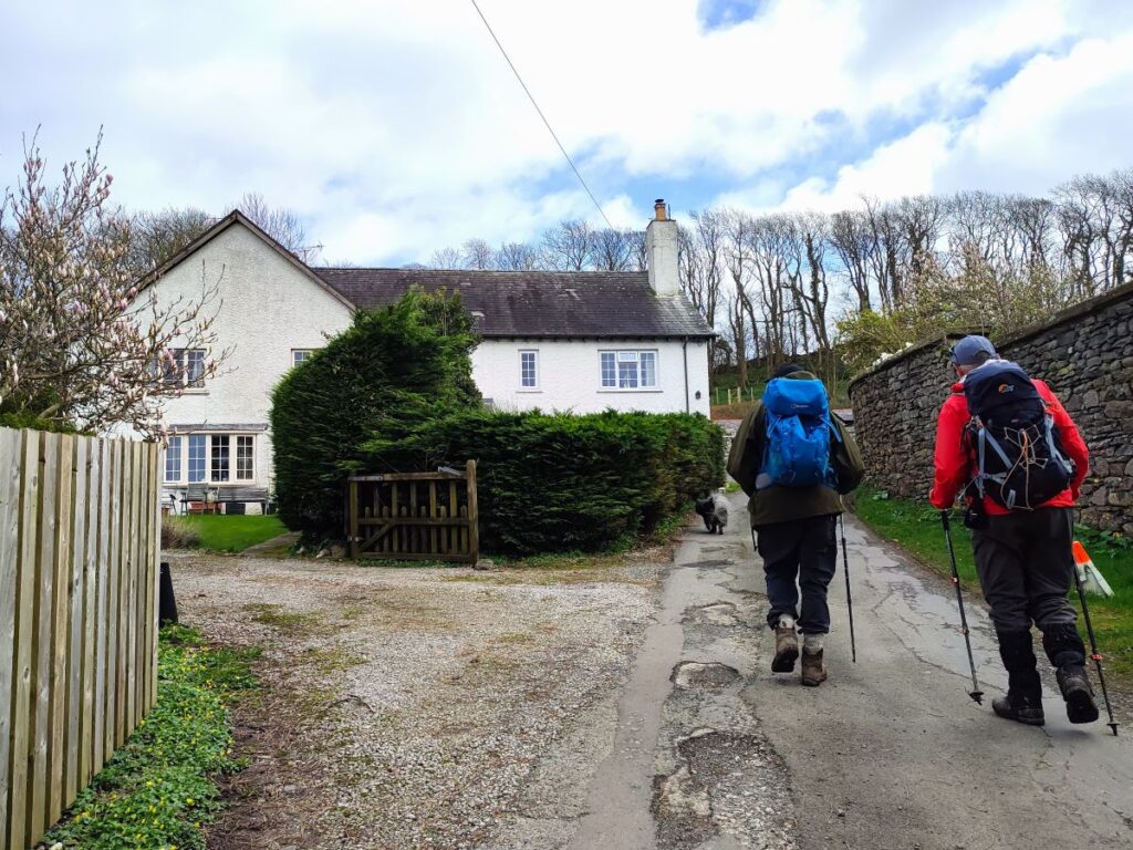
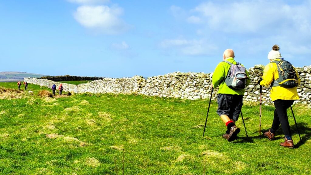
The lane we have been following along the side of the Eea arrives at the B5278 in front of the Engine Inn, and we head left up the road, but then leave it on the right just 30m later to walk uphill along the road in the direction of Cartmel. We walk along the road for about 200m and then see a waymarked path on the left signed for Cartmel 1 ¾ miles. This takes us onto a broad track which heads north along the side of a hill for a while. 400m later we arrive at a farm (Low Bank Side), and we head right down through the farmyard and back down to the Cartmel Road that we were on a little while ago.
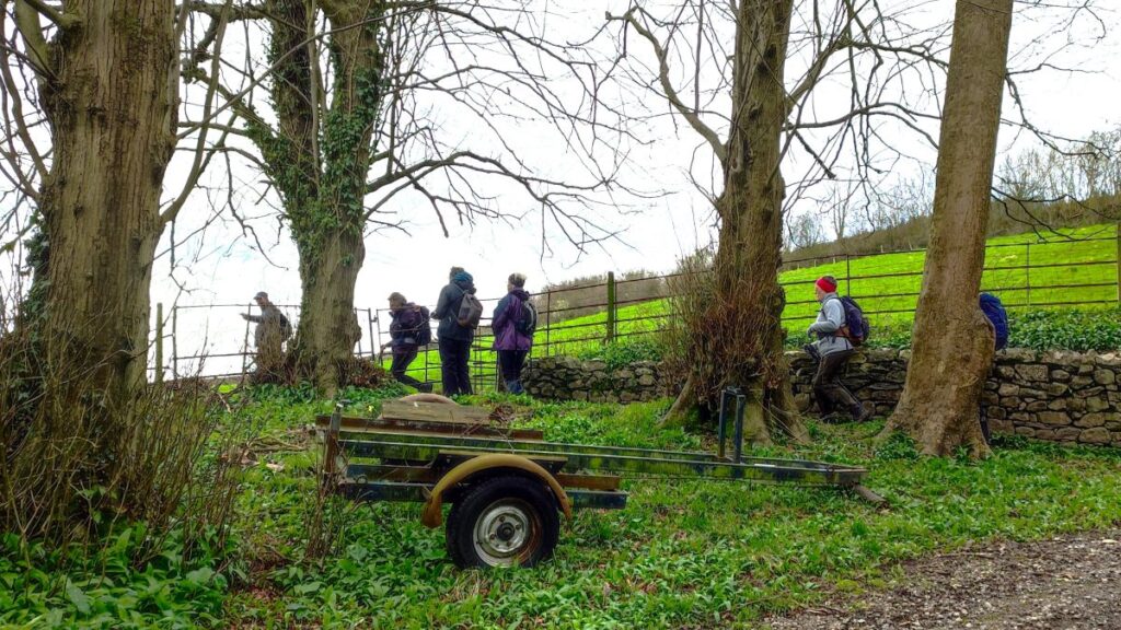
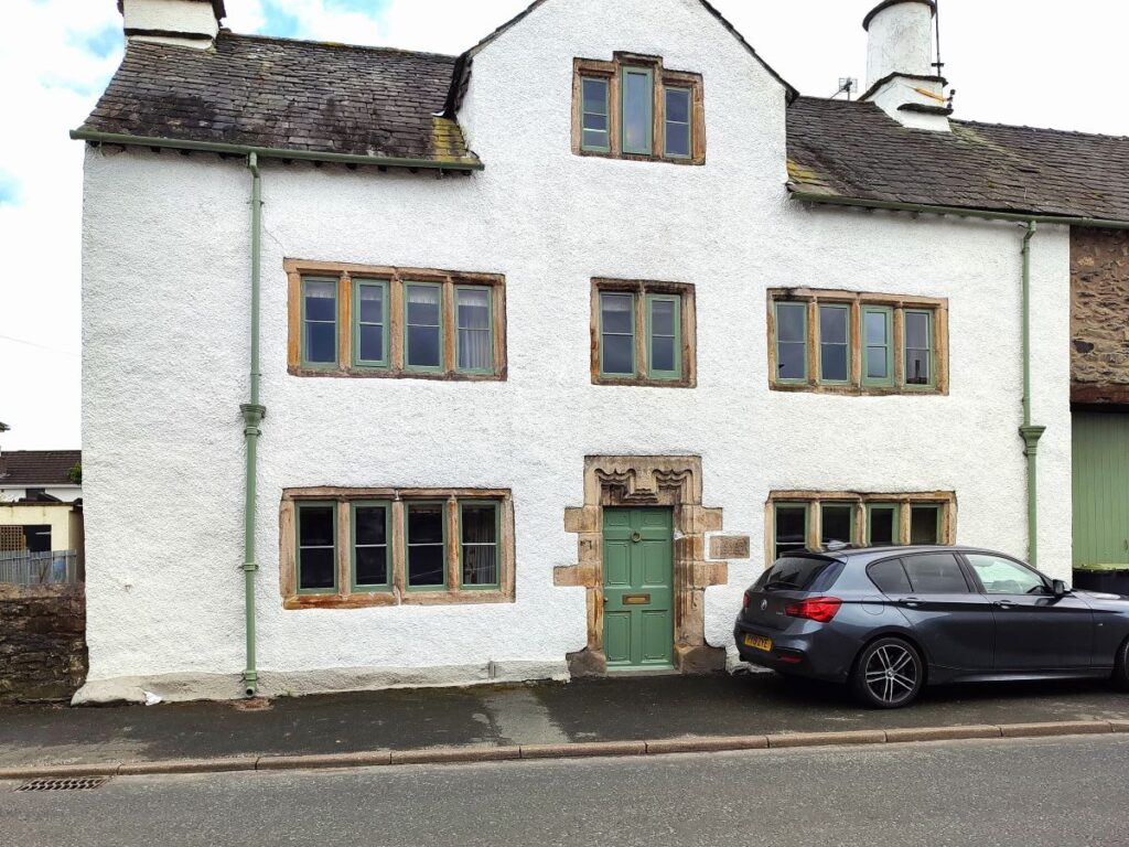
As we arrive at the road we look across and slightly to the right to see the footpath continuing over a stile and then across fields toward Birkby Hall. After walking through two large fields, noticing limekilns and the spire of Cartmel Priory over to our left, we arrive at a minor road and a ladder stile. Opposite us is an impressive set of gates and the access road to Birkby Hall – not a stately home as the name would imply, but a very attractive cottage, and part of a cluster of five or six houses.
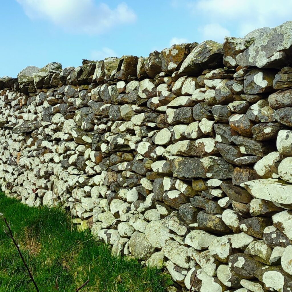
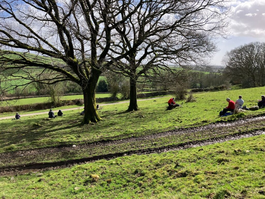
The lane bears left and then right and then takes us uphill and though the edge of a wooded area to a rather steep stone step stile. Beyond that we cross three fields heading generally east, to arrive at a minor road at Templand.
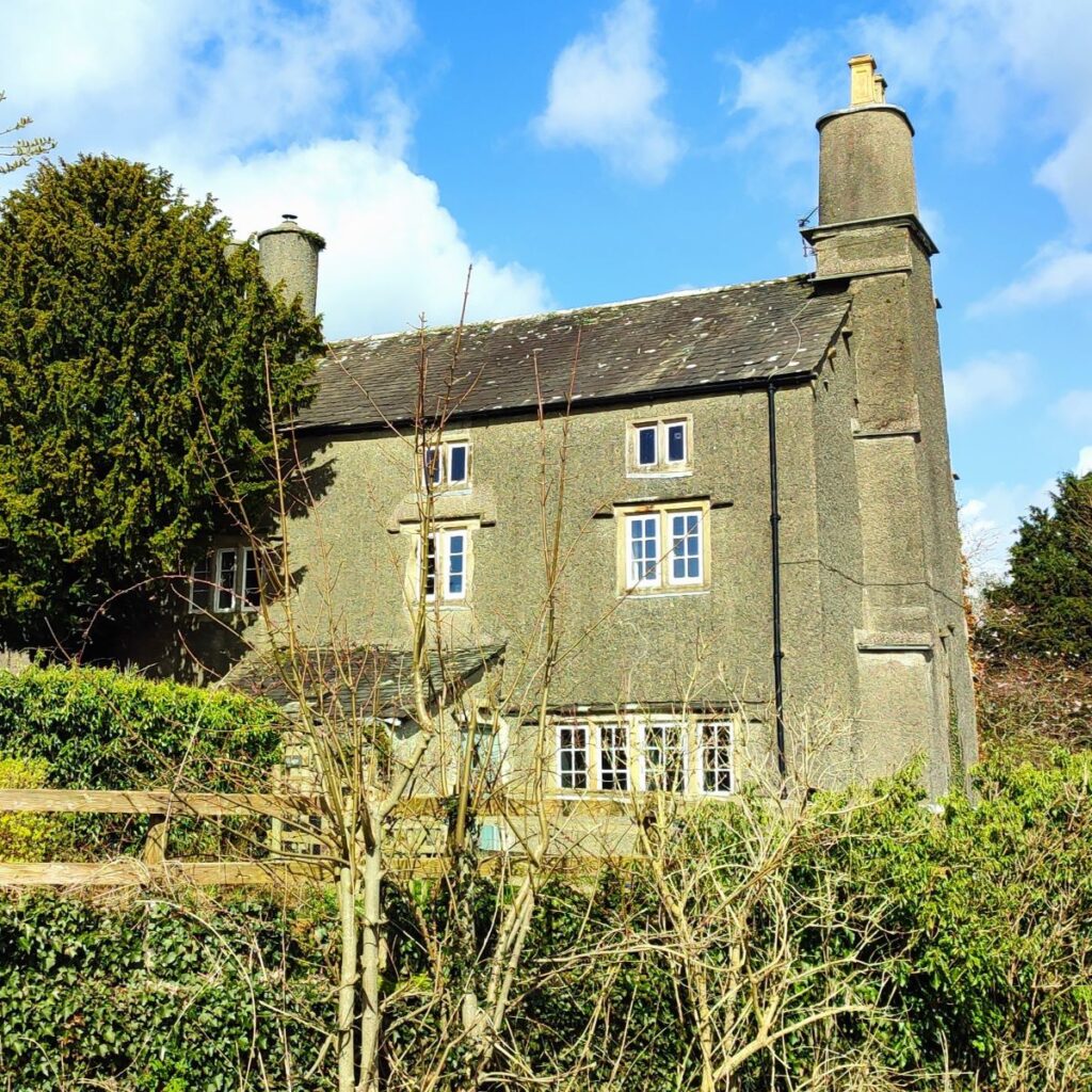
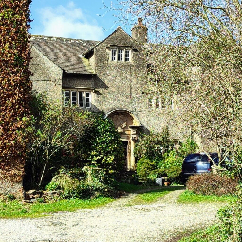
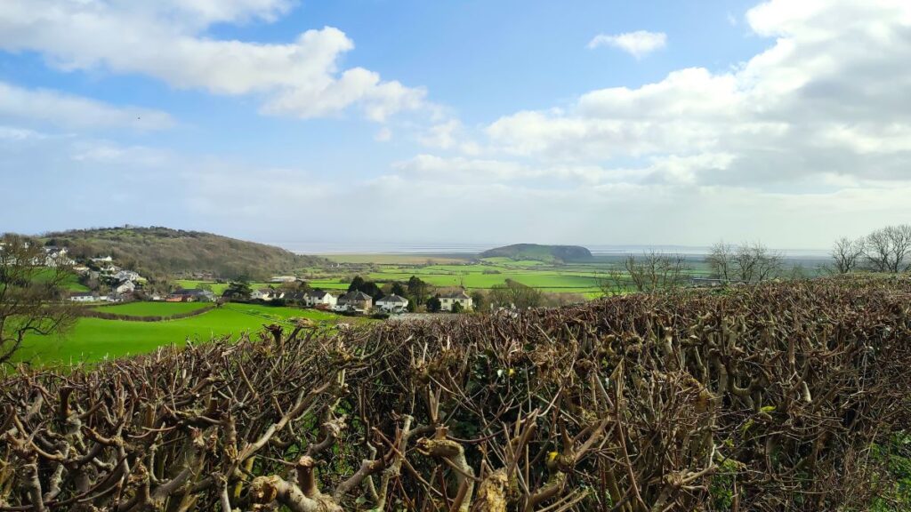
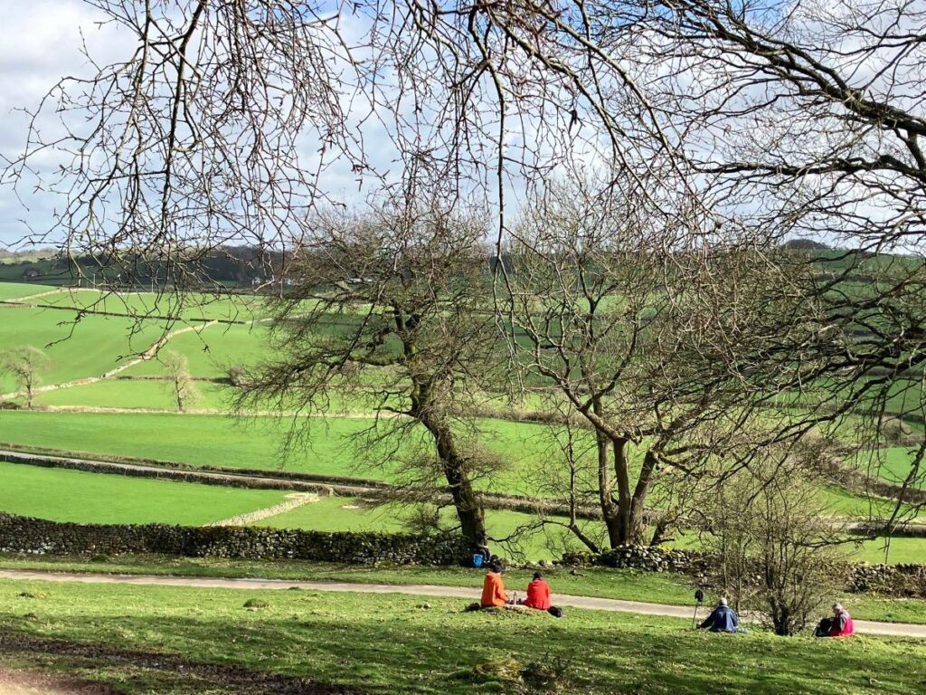
We go right at the road and walk down the road back toward the coast for about 400m – our view is now across the Kent Estuary toward Silverdale. Our next landmark is a footpath leaving the road on the right. It is adjacent to an area of woodland and below the impressive Boarbank Hall.
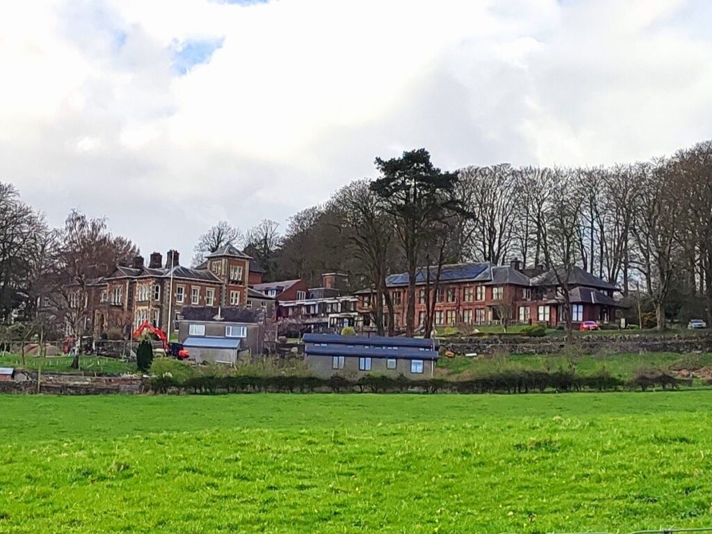
Originally built as a private residence, the Hall originally looked very different – it was largely destroyed by fire in 1870 and rebuilt in an extravagant Italianate style. Since 1921 the occupiers have been Augustinian sisters. They are a Catholic community of nuns who share their possessions, skill and time, care for the sick in their nursing home and provide hospitality in their guest house. More detail about the religious order, a history of the area and Boarbank Hall is contained in a booklet which has been recently revised and reprinted and is available from Boarbank Hall, or you can click here
To read a Westmorland Gazette feature on Boarbank hall, click here or to see a BBC documentary about the architecture of the Oratory, click here

The footpath soon joins the access road for the hall, and we bear right, then just 30m later leave it again on the left to take a stile into open fields – this is hidden behind an abandoned cart so take care not to miss it.
We cross the field and then a further stone step stile, and then have a decision to make: The right of way indicated on the OS map shows us walking to the left and downhill to the road, before meeting a second footpath and coming back uphill – all within the same field. We took the pragmatic view that we could see that second path coming back uphill, so went straight ahead at the stile then followed a clear and well-trodden route to Applebury Hill farm.

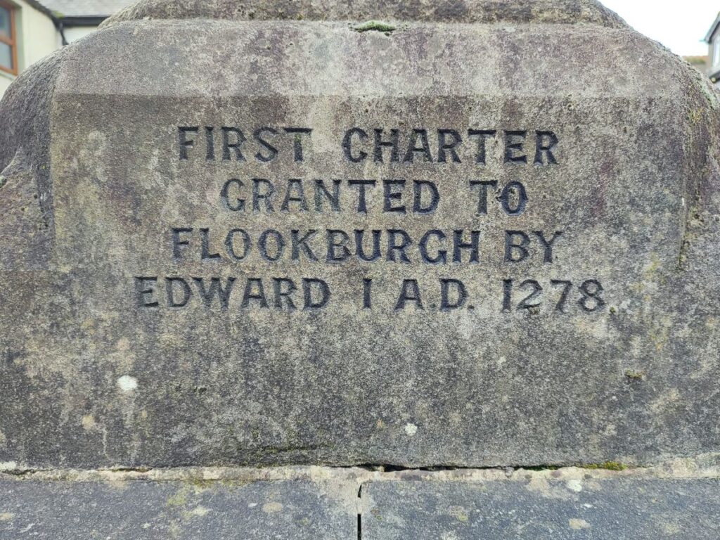
The path goes to the left of the farm (notice the impressive limekiln ahead – it looks like a railway tunnel entrance but is listed on cumbria-industries.org as a kiln) and then after a gate, heads sharply to the left, arriving at a minor road 400m later. We are now back in Flookburgh. At the road, we turn left, cross the railway and then continue down to the B5277. Once there we head right – until we see the Hope and Anchor where we head back down Moor Lane to collect our cars. Worth noting just before we do that though is the market cross. It dates to 1882 but the base and steps are probably much earlier. It bears inscriptions recording market charters in 1278, 1412 and 1659.