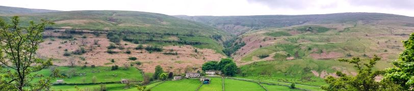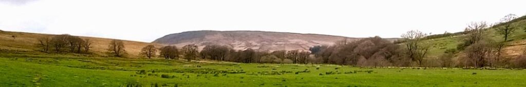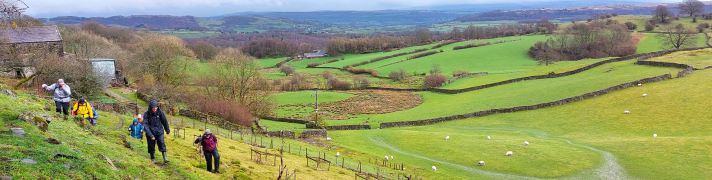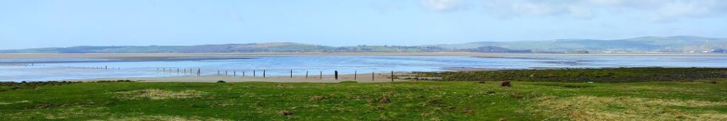
Whelp Stone Crag from Rathmell
7.9 miles | 12.7 km | 307m Ascent | 9.4 Naismith miles | David Longton
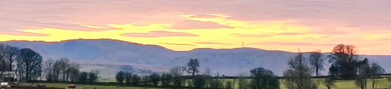
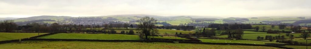
One of the benefits of living in Bentham is easy access to the Yorkshire Dales, the South Lakes, and the Forest of Bowland. That means great scenery – but at times, significant numbers of visitors. As this walk demonstrates though, think beyond the obvious honeypot locations, and it’s still easy to find a great walk which can be enjoyed in solitude, or with your favourite walking group.
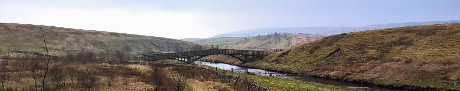
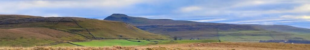
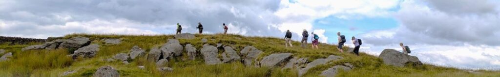
From the easily accessed village of Rathmell, we head out on minor roads to Higher Lumb Gill Wood then stay on lanes to the oddly named Ragged Hall, before arriving at Whelpstone Lodge. From there we climb to the Trig point at Whelp Stone Crag – where we have our passports ready for a brief entry into Lancashire, before returning via Brayshaw, Boostagill and Cappleside. There are great views along the way, and because much of this route is on minor roads, the going is generally easy.
Whelp Stone Crag from Rathmell Read More »