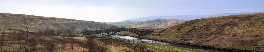
Far Moor Bridge and Ribblesdale
7.8 miles | 12.6km | 297 m Ascent | 9.3 Naismith miles | Sandra Craggs
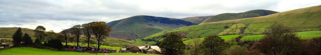
Horton in Ribblesdale is a great place to start a walk, and the “three peaks” are the big draw with Pen-y-Ghent an obvious choice, as is the Sulber Nick route over to Ingleborough.
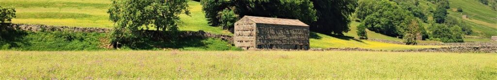
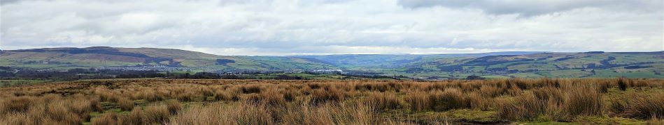
Both are good walks, but there is much else to see in this area, as we show with a route including a tarn, the stunning Far Moor Bridge, disappearing rivers, atmospheric lime kilns, a National Nature Reserve, extensive limestone pavement, and vast quarries, all of which is accessible via the Settle to Carlisle railway. What more could you want? A blue lagoon? – well there was one until recently, and we can offer pictorial evidence.
Far Moor Bridge and Ribblesdale Read More »