Jump to . . .Step by Step | OS Map | Downloads | Gallery | Fly through
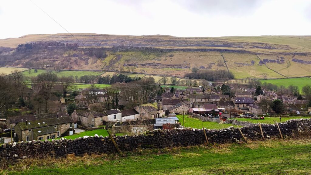
Kettlewell is one of the “Honey pot” villages in the Yorkshire Dales, and so during the peak of the tourist season, it gets rather crowded – and justifiably so – it’s a lovely place.
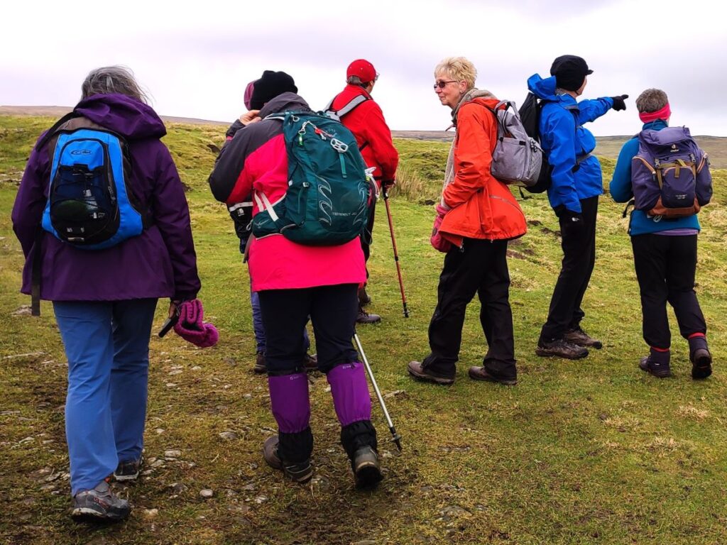
However, if you pick a glowering day during February when the weather forecast is gloomy, not only will you have the pick of the parking places, but all the paths will be deserted and if the weather proves to be better than expected you will still get some great views.
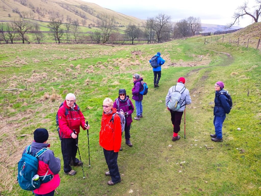
This walk takes us from Kettlewell up the Top Mere Road to Cam Head and then down Starbotton Cam Road into Starbotton. We then return along a riverside path enjoying typical Upper Wharfedale views. Although we class this walk as easy, based on the distance and total ascent, be aware that the first section is steep, though there are a couple of benches to take a rest.
- Total distance 10.3 km (6.4 miles)
- Total ascent 335 m
- Easy walk
Step-by-Step

We start in Kettlewell and recommend parking on the National Parks car park. This is chargeable, but those nice people at the National Park Authority provide clean toilets, electric car charging, and maintain the paths we all love to use, so that seems fair. Parking in the village streets may be possible – but can be inconvenient to the locals, so please be thoughtful.
Kettlewell is on the B6160 just north of Grassington. If you are using a paper map to get there then the grid reference is SD96797230, whilst the what-3-word tag is opera.listed.slugs. For Satnav users, the postcode for the car park is BD23 5QZ.
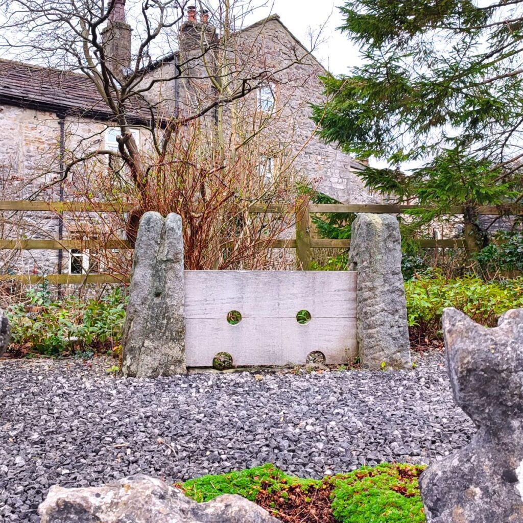
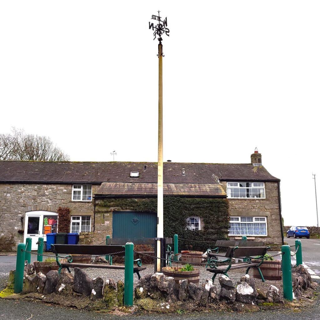
Having paid and displayed, we cross the road and head for Middle Lane – the small road that runs up the side of Kettlewell Beck and into the heart of the village. We pass a deli and an ice cream shop and then continue east passing the old stocks and a war memorial on our left, to arrive at the maypole and a road junction. Here we head left and stroll up the lane until we arrive at the Kings Head pub. Just opposite is the entrance to St Mary’s church. This is well worth a look – either now or perhaps at the end of the walk when there is no time pressure: There has been a place of worship here since the original Norman church was founded in 1120. Of that original structure, only the magnificent Font remains – St Mary’s was rebuilt by the Georgians, but clearly not to a particularly high standard as it was deemed to be unsafe and was demolished in 1882. The Georgian tower remains though and is neatly combined with the Victorian church consecrated on St Mary’s Day 1885.
Of particular note are the inspirational and unique stained glass windows from the 20th century. With the notable theme of the two world wars, the East Window shows a young Christ looking over the battlefield of 1916 and is a memorial to Charles Cutcliffe Hyne. The Holdsworth Windows are memorials to locals John and Michael Holdsworth killed in action during World War II. Also worth seeing is the altar which is made of English Oak and is the work of Colin Almack, a pupil of Robert Thompson, the famous “Mouse man”. Almack emulated his master by including an animal carving – in his case a beaver, which can be found at the base of the left hand side of the Altar, and as a tribute to Thompson, a mouse surmounts the brass commemorative plaque beside the Cockerill window opposite.
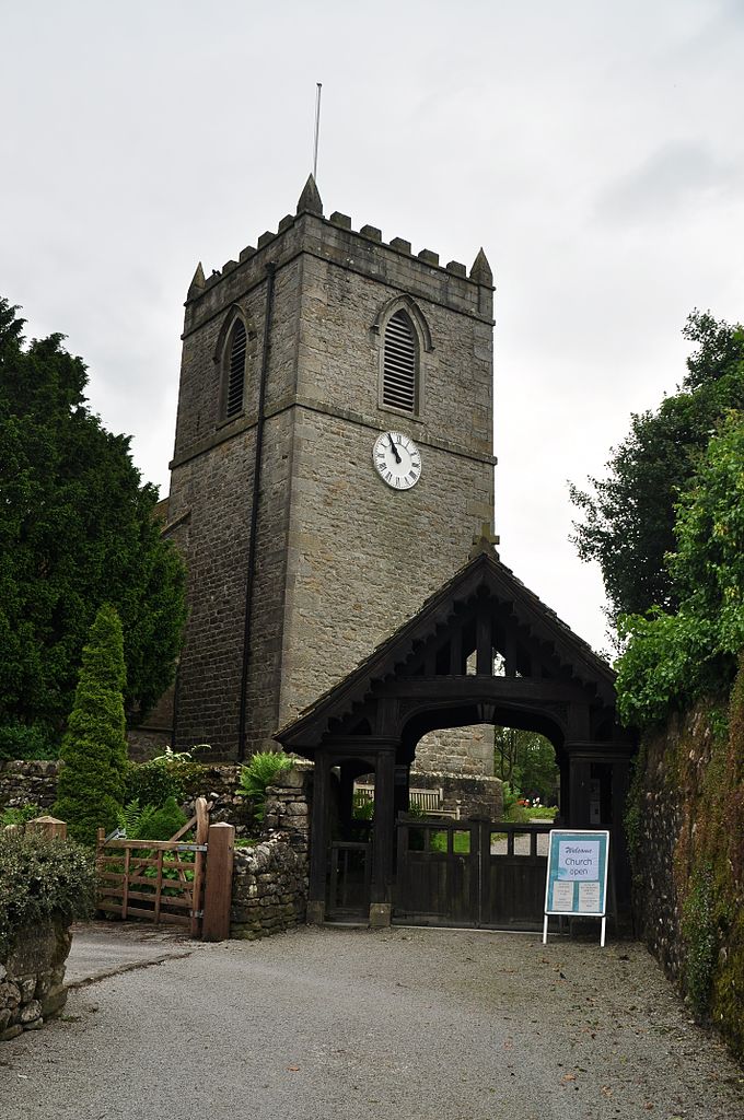
Behind the church is the Labyrinth – a contemplative outdoor space created in 2020. For more detail on all these features, click here to visit the church’s website:
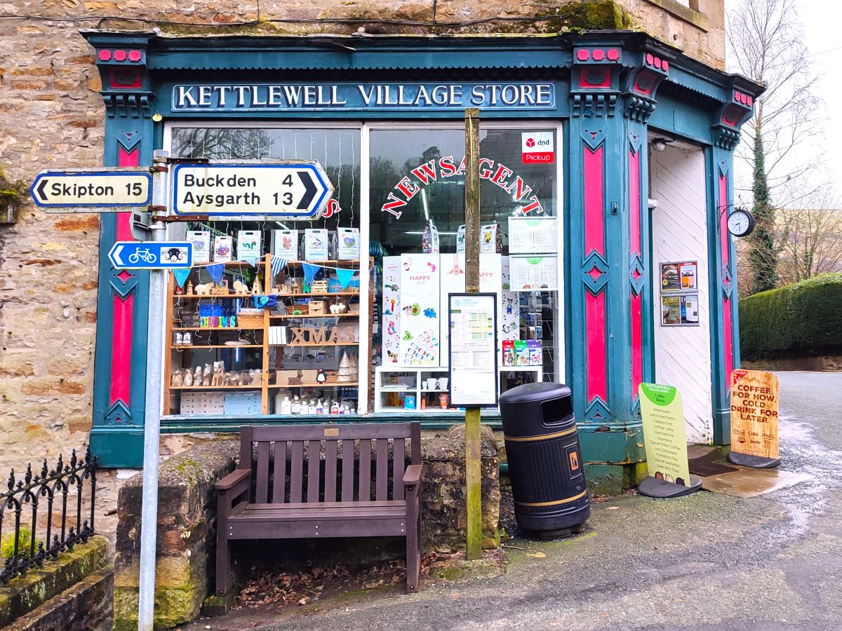
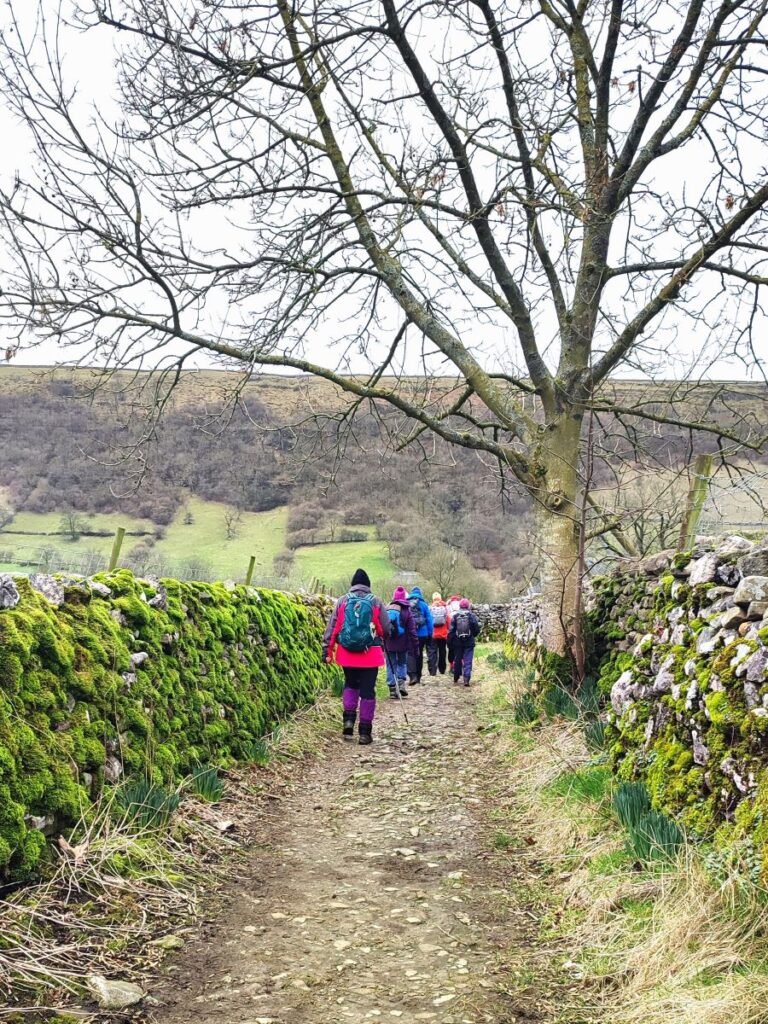
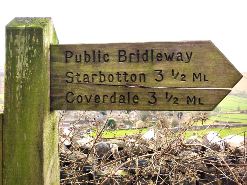
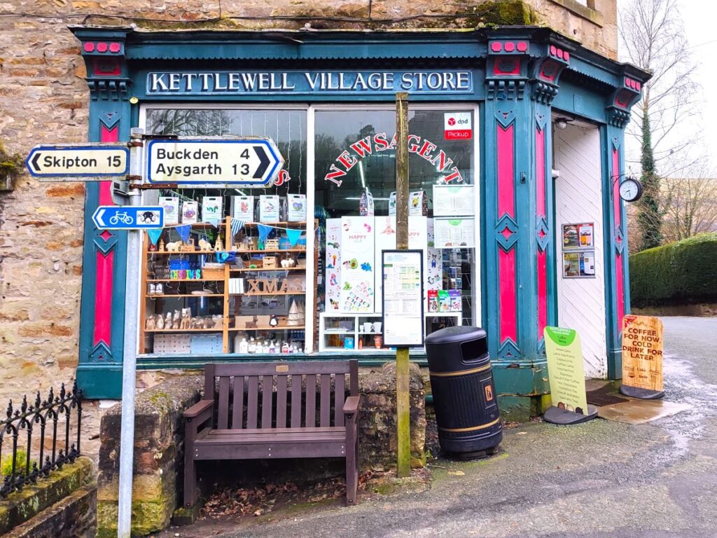
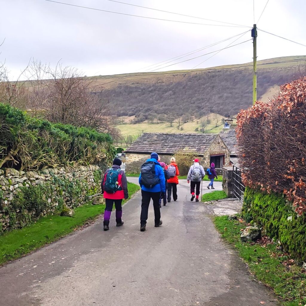
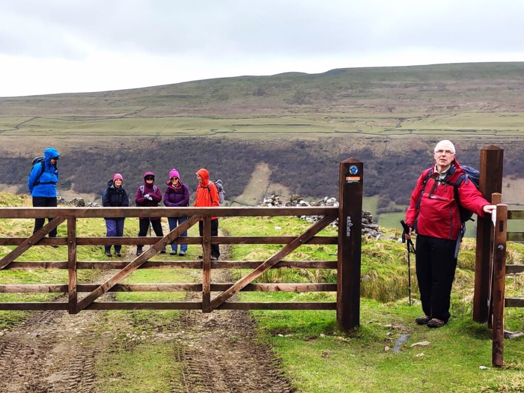
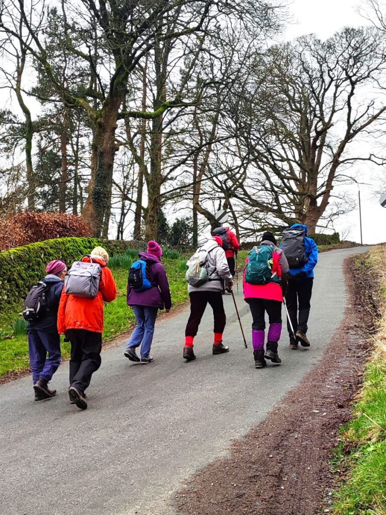
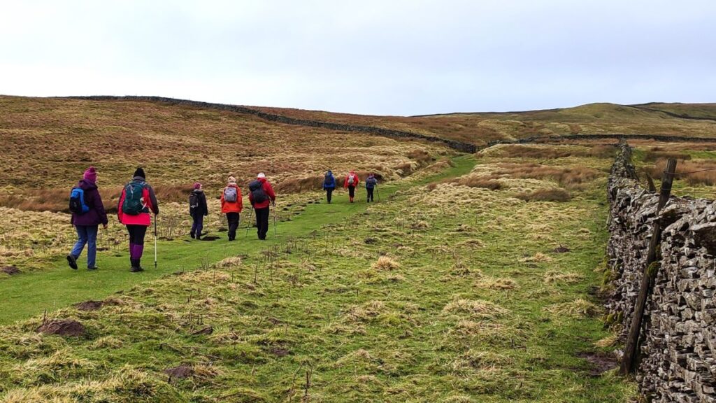
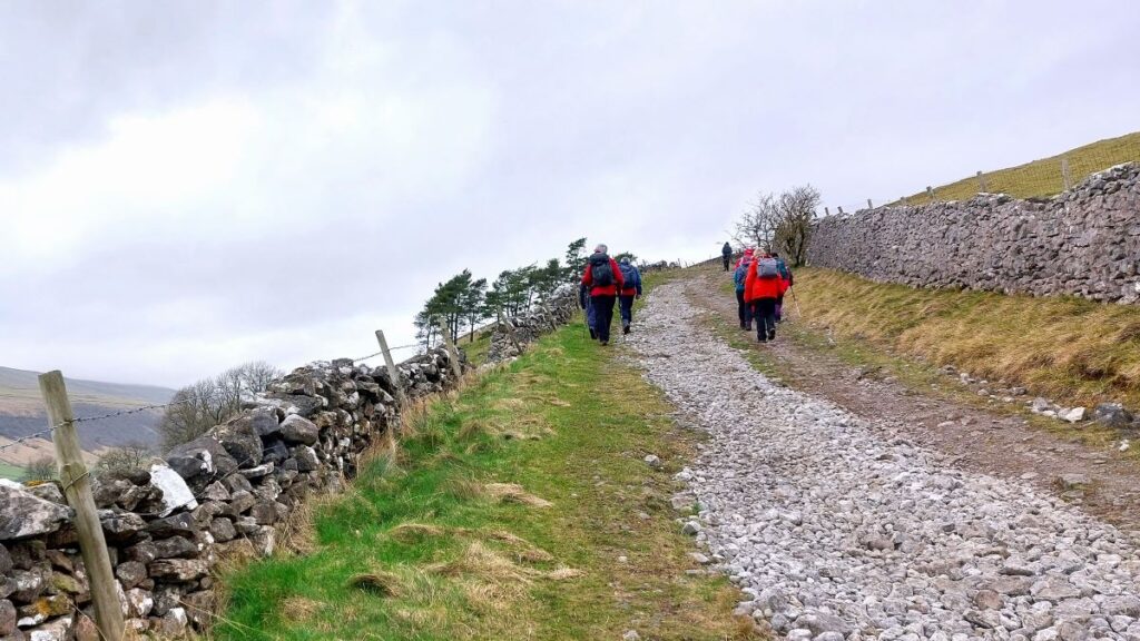
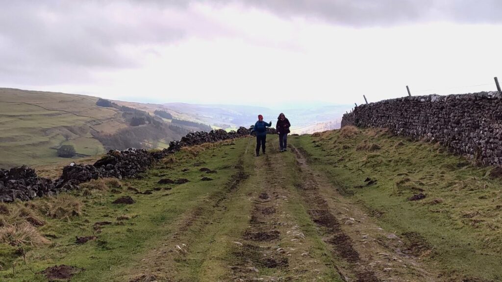
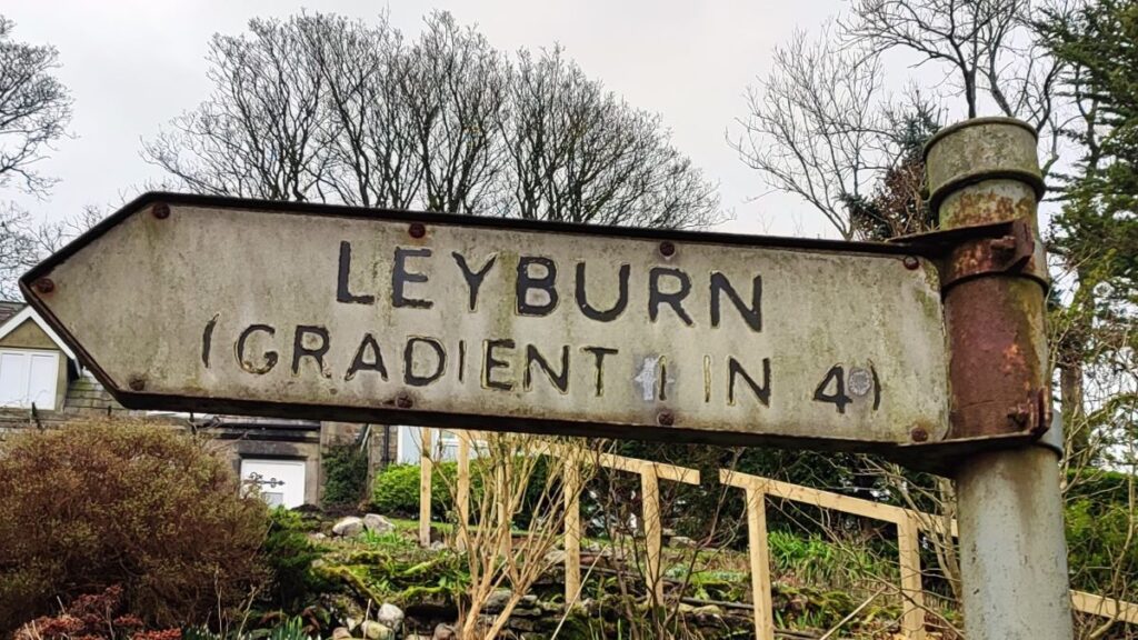
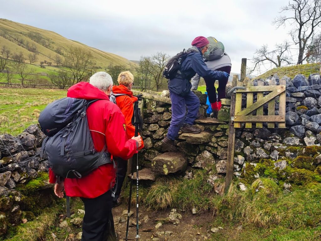
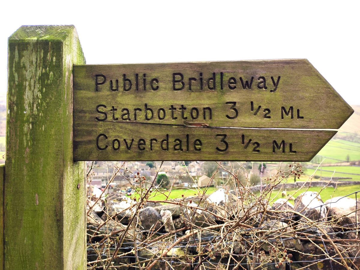
Next to the Kings Head, the road bears left and crosses Kettlewell Beck, and we head up toward the very traditional looking Village Store. Opposite is a small road, and we head up here, now following the beck upstream. After about 150m, the road bears sharply to the left, and we see a road sign promising a 1 in 4 gradient. We follow the road round and just ahead see a rough lane leaving the road on the left – we take this track (signposted as a bridleway to Starbotton) and press on uphill.
Just as the road sign promised, the gradient here is quite steep, but there are a couple of memorial benches which offer a good opportunity to pause and enjoy the view back down to Kettlewell.
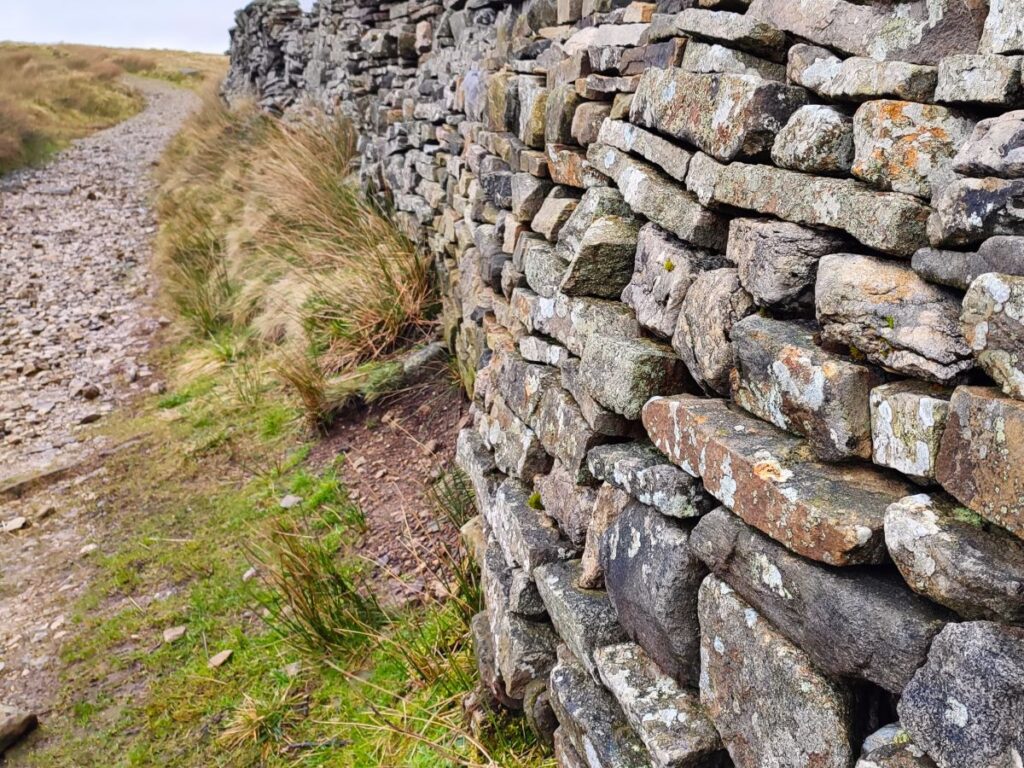
The track we are walking on is called the Top Mere Road, and is a typical Yorkshire Dales “green lane” – in times past it would have been a busy route giving access to lead mines on both sides of Cam Pasture – a quick glance at the OS map shows a number of disused shafts, spoil tips and flues within sight of the road – although none are as clear as at the nearby Yarnbury lead mines. Also at the top of the lane is an area noted on the OS map as Starbotton Peat Ground, so it may be the case that the green lane also served a purpose similar to the Turbary Road on our recent Kingsdale walk.

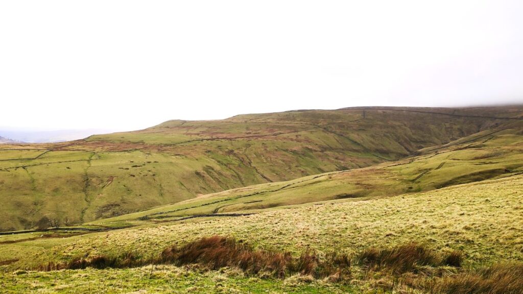
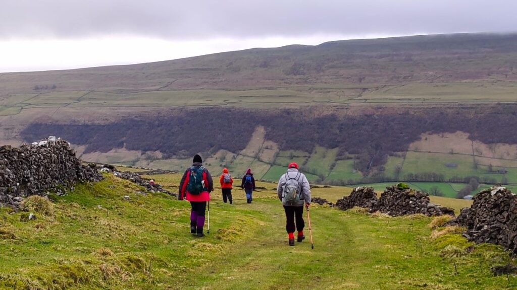
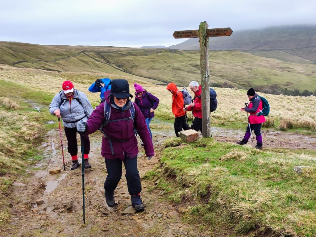
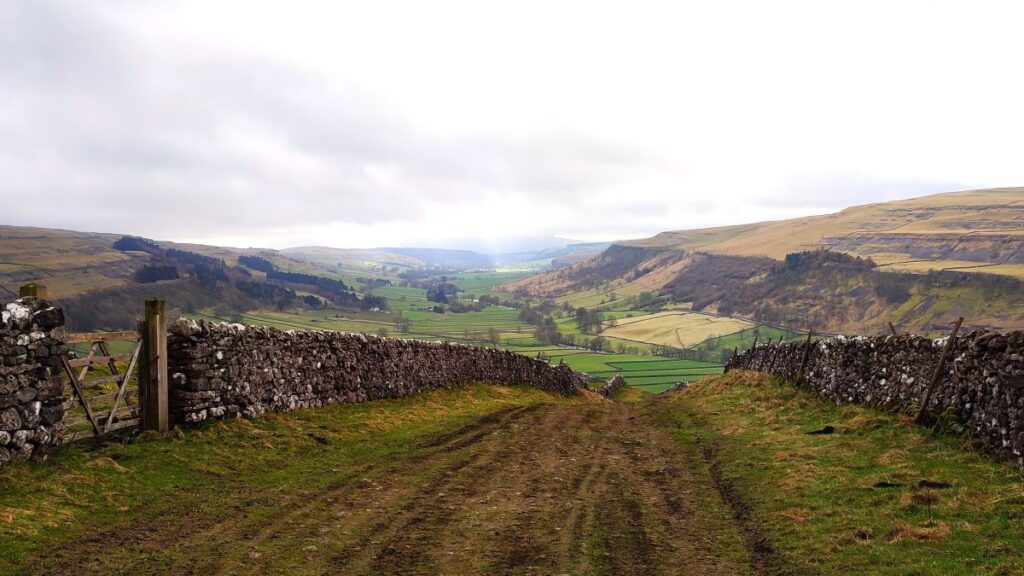
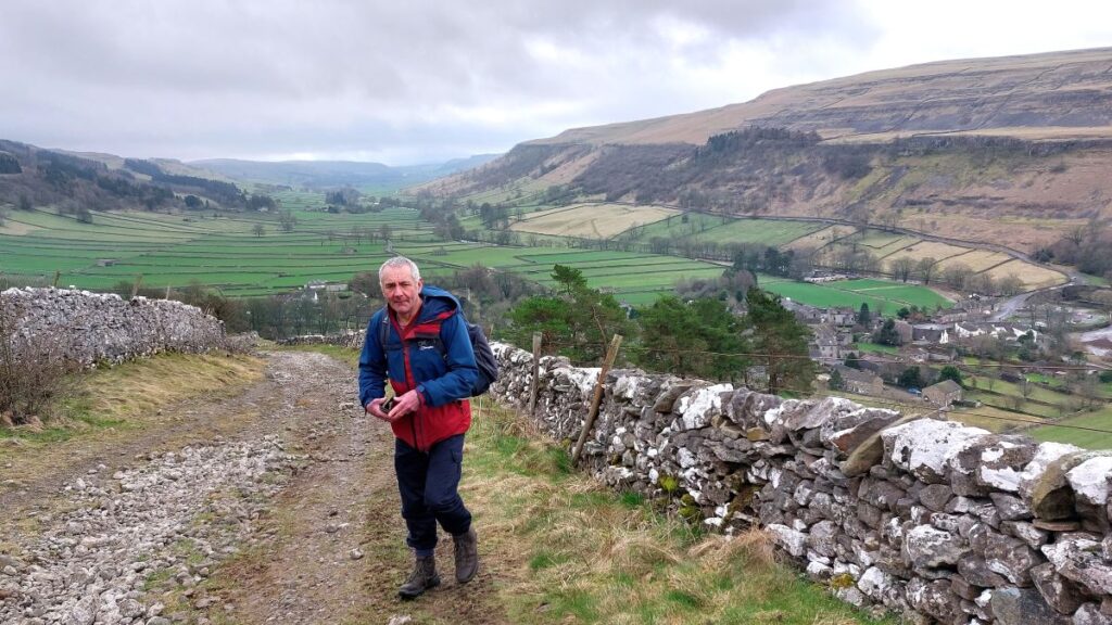
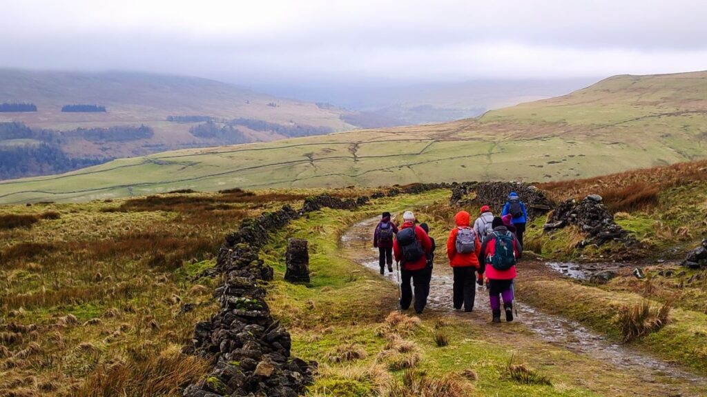
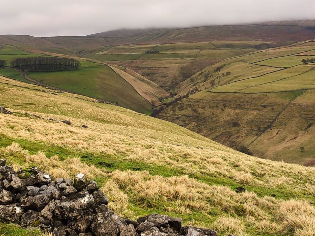
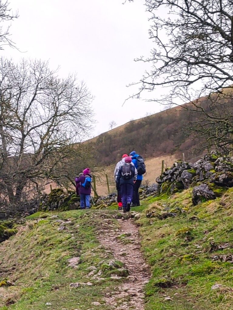
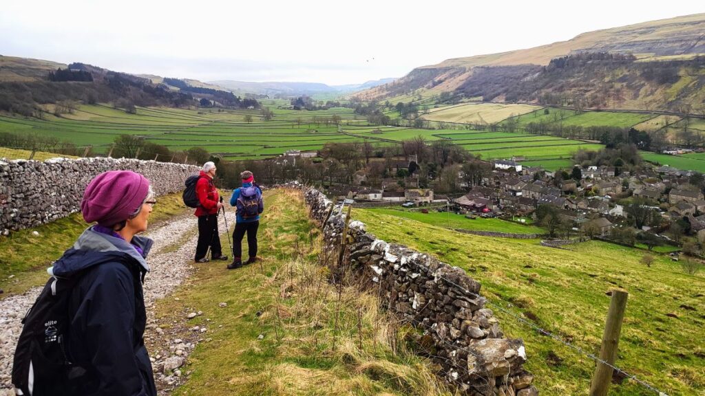
The Top Mere Road continues relentlessly uphill until the gradient levels off somewhat, and we find that we have great views to the right over the valley toward Great Whernside. Our next landmark is a three way fingerpost where we have a choice of continuing right and then onward toward Buckden Pike, or to take a sharp left and round the side of Cam Head.
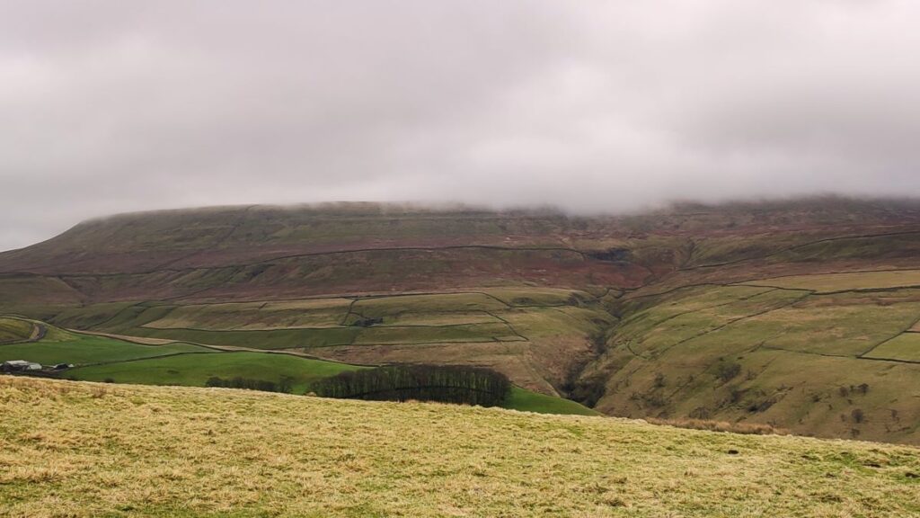
We head left and after just a little more climbing are at the highest point in our walk – depending on the weather this might be a good place to take a break and enjoy the views down Wharfedale. We did not have particularly good visibility, but you can see what we saw by clicking here
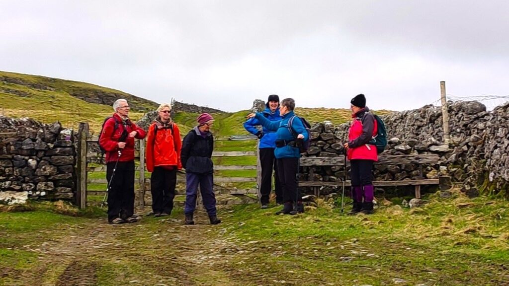
No more than 400m after taking the sharp left turn, we arrive at a gate, and just beyond this we see another path joining us from the right. We don’t use that path – we continue downhill, but it’s worth noting that it offers an option to extend this walk and make it more challenging by taking the contours round the back of Knuckle Bone pasture and coming back into Starbotton via another green lane – Walden Road.
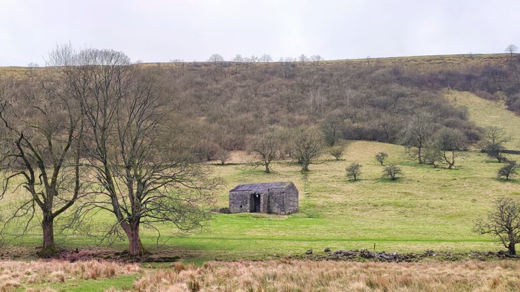
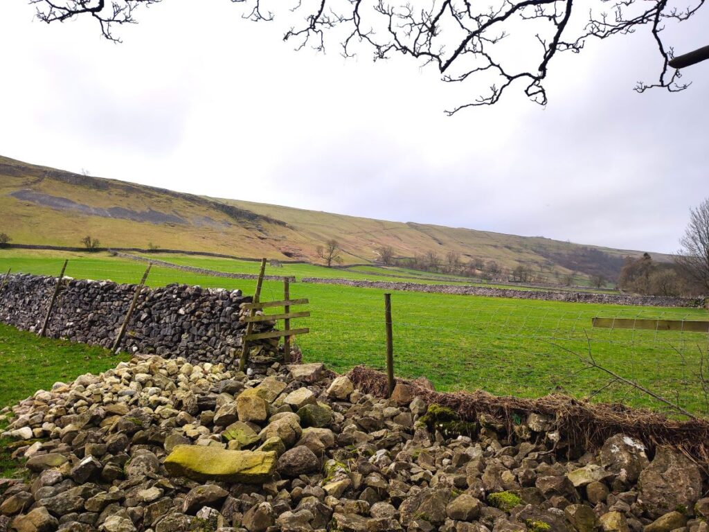
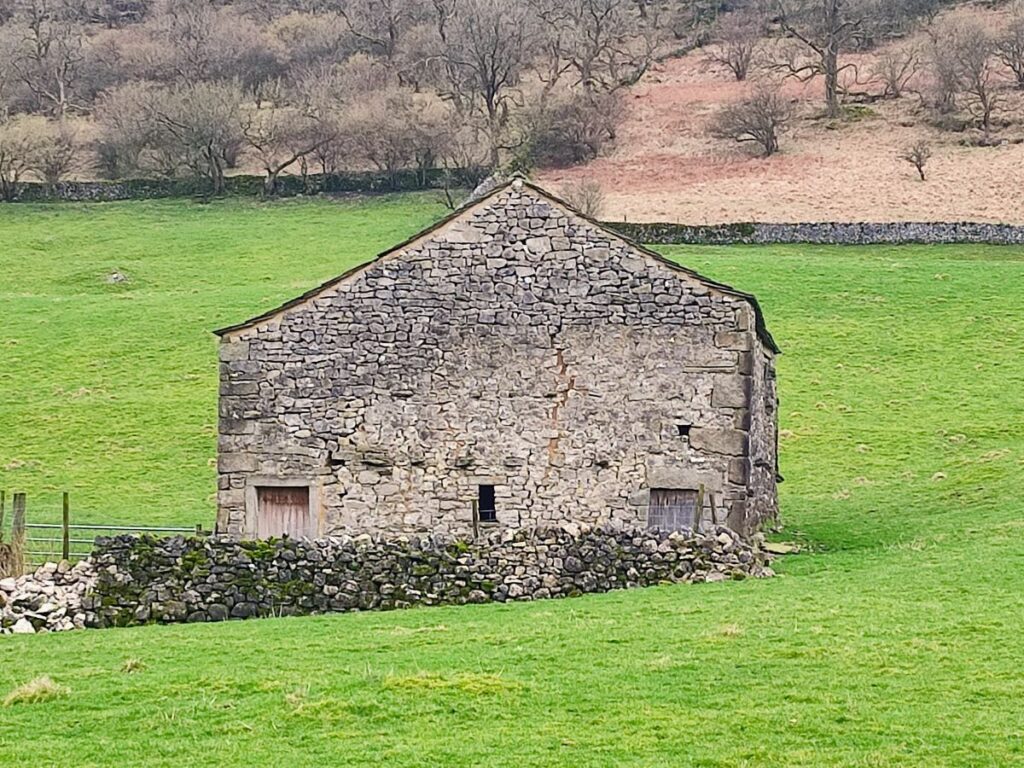
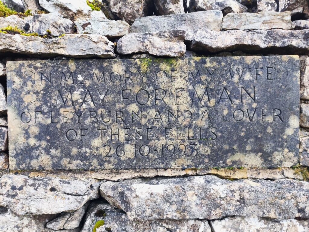
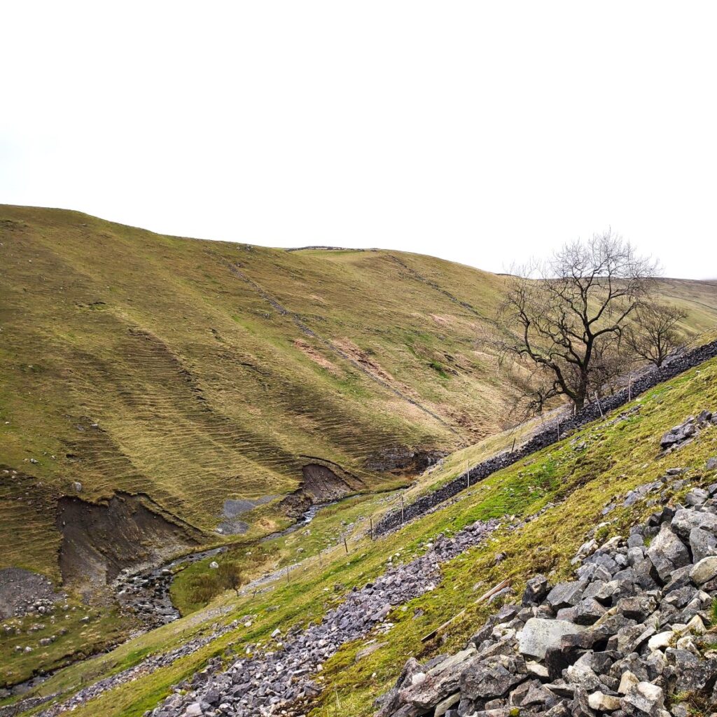
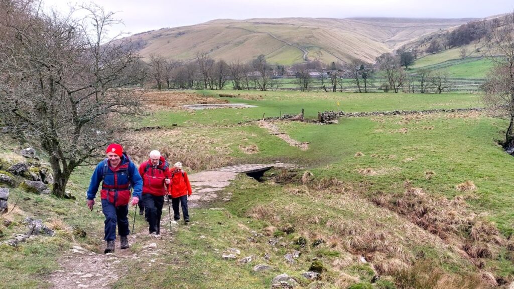
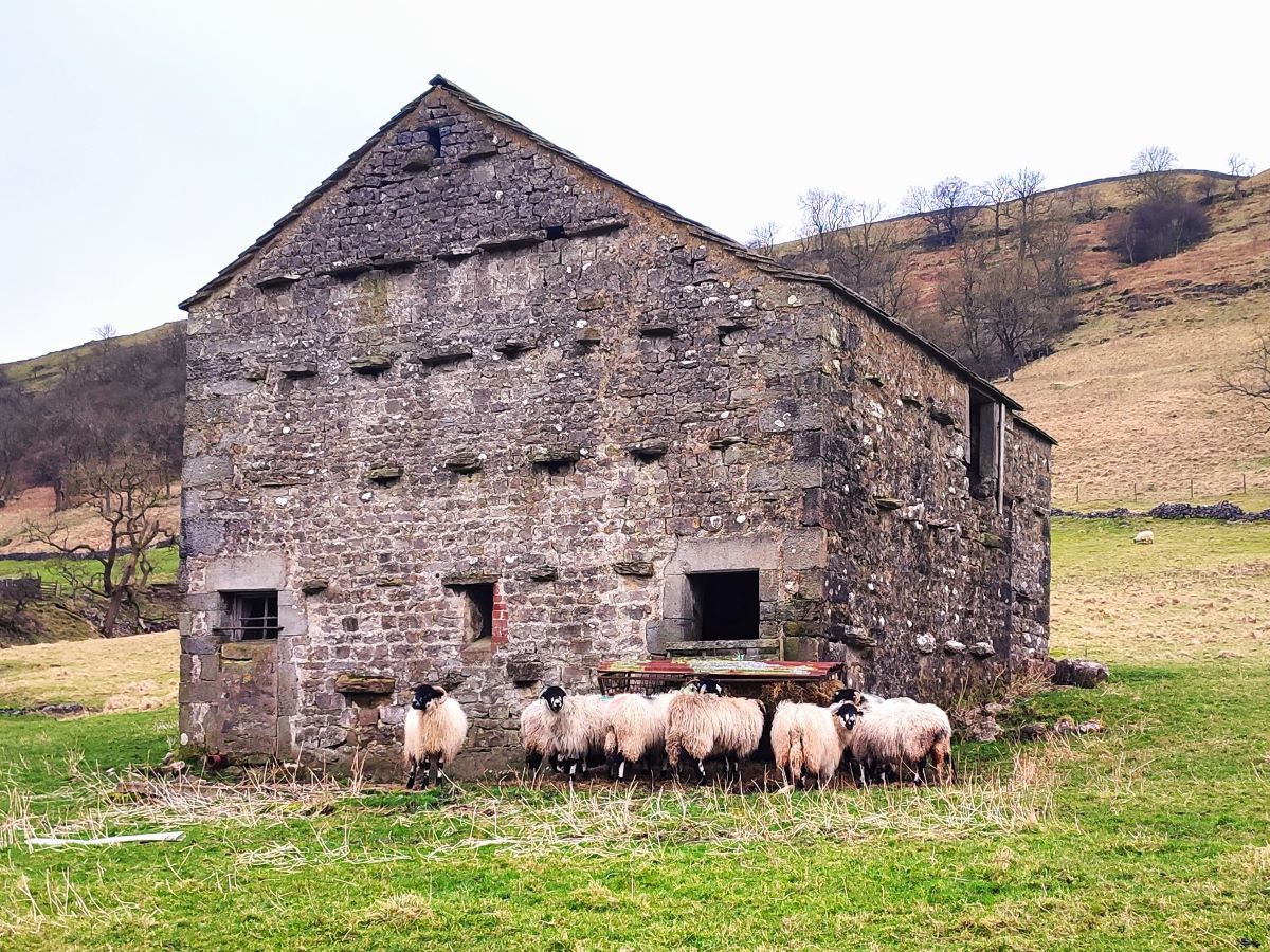
We press on along the Starbotton Cam Road – the track is always clear, and navigation is simple – just head downhill until you arrive at Starbotton. That perhaps sounds a little dull – it’s not – there is plenty to see including a poignant memorial stone, more disused mine workings, the remains of a smelting chimney, and a particularly steep-sided ravine where the Cam Gill Beck runs. The name Cam comes up quite often in the Dales – it’s an old English word meaning a ridge, so given how many of those there are, it’s perhaps no surprise.

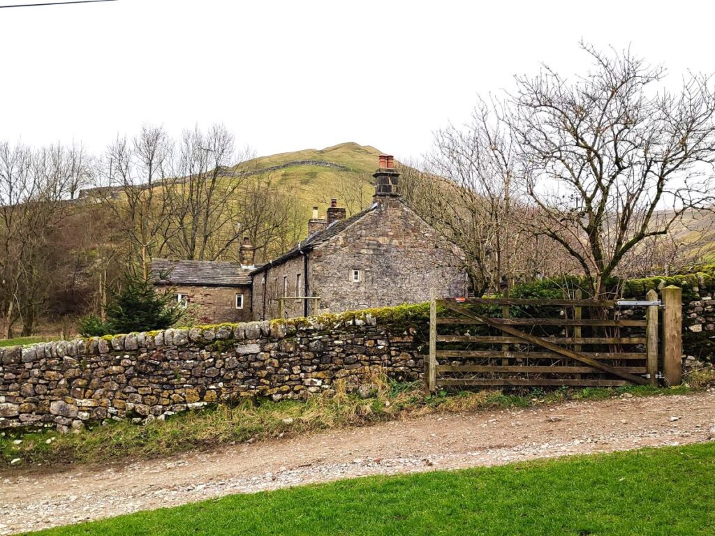
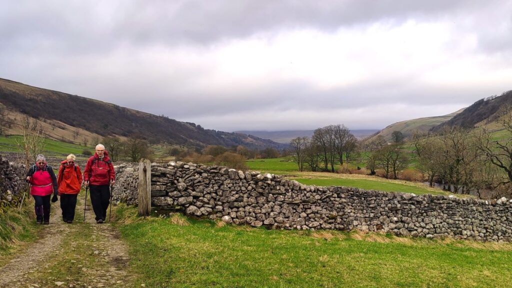
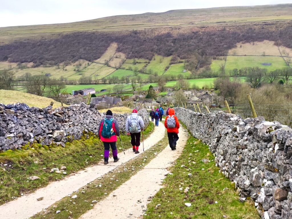
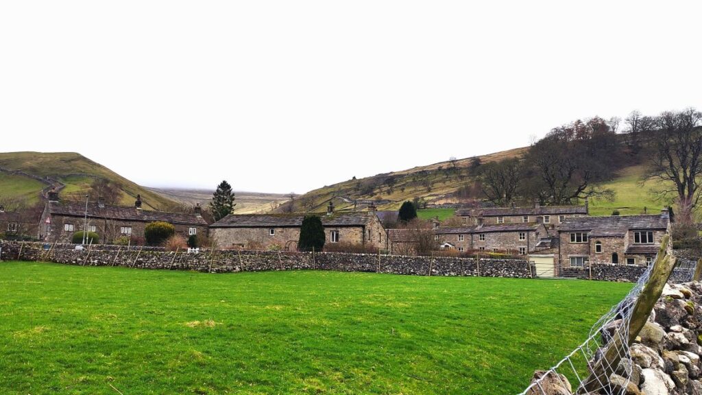
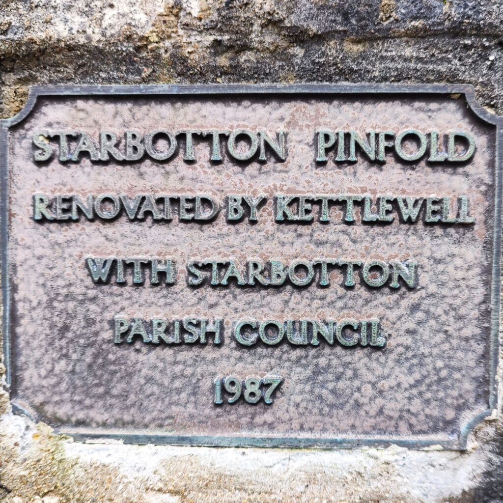
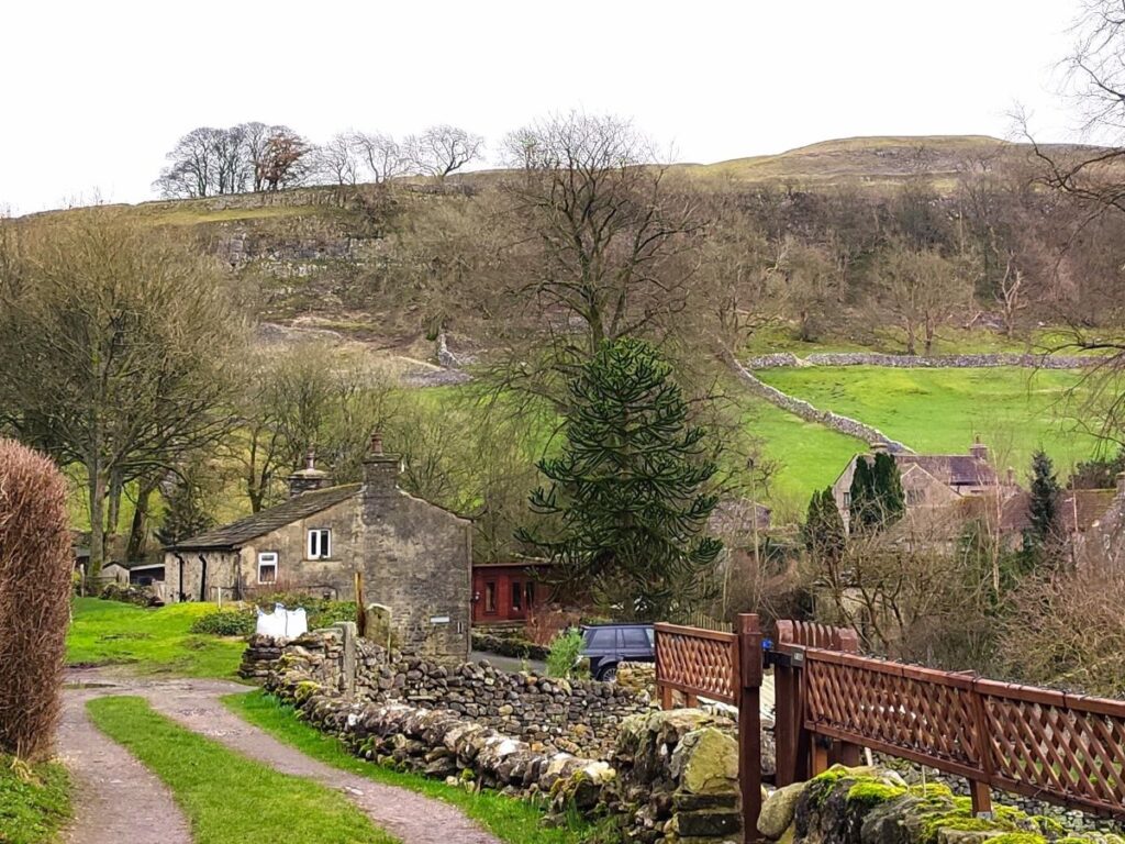
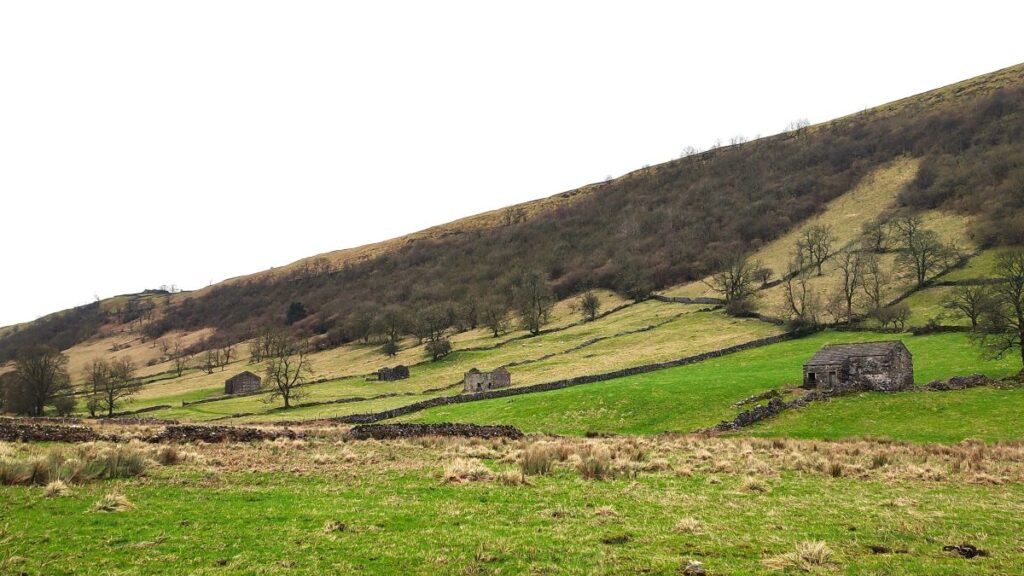
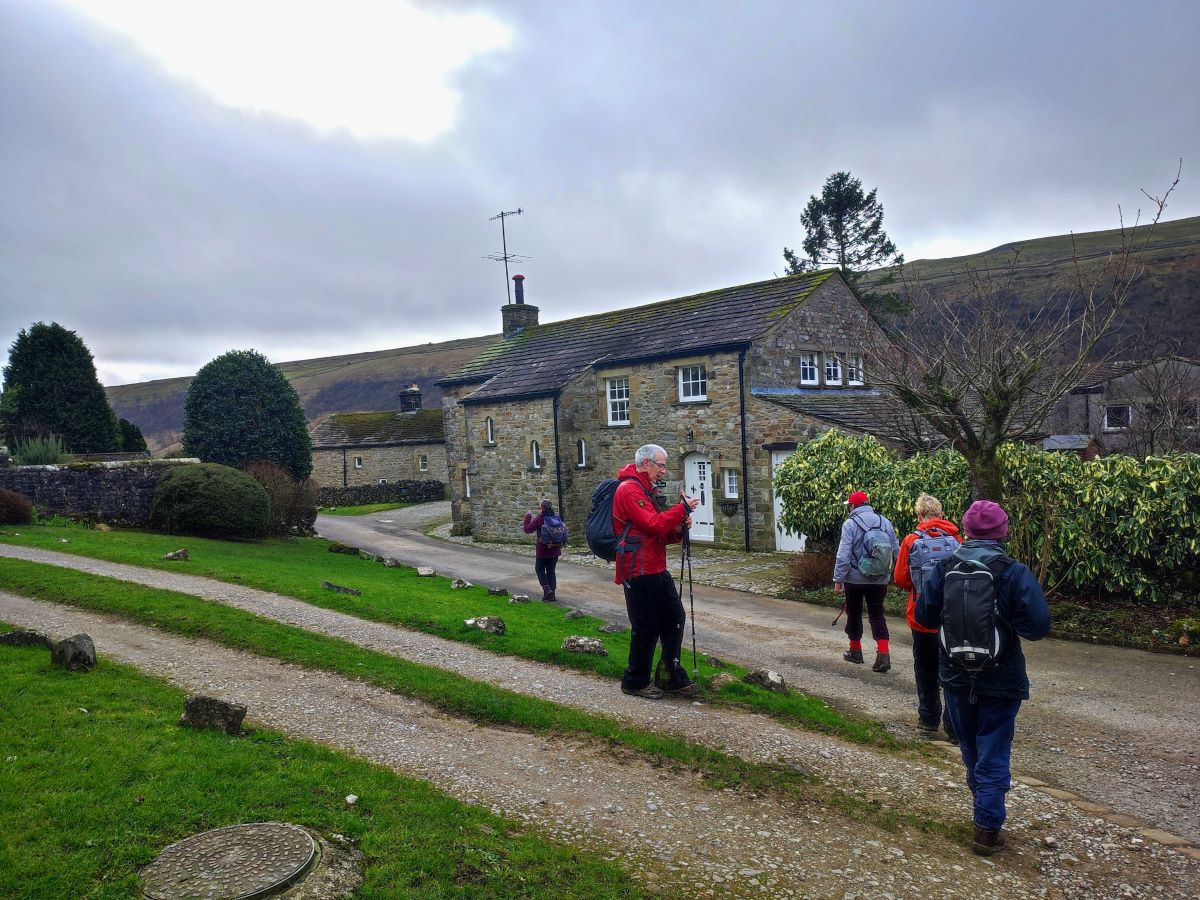
At the end of the Cam Road, we arrive at Starbotton, a very pretty village. The curious name is from the old English meaning “the valley where stakes were got”, and spelling has varied over the years from Stamphotne in the Domesday Book through Stauerbothem and Starbottom to settle on the Starbotton by 1610.
There around 60 houses in the village, many of them holiday lets – in times past Starbotton housed miners and smelters for the now disused lead works, and the rather grand house next to the sole pub in the village – the Fox and Hounds – was built to house the manager of the smelting works and his family. For more detail about the village click here for a wikipedia link or here for a Yorkshireguides page.
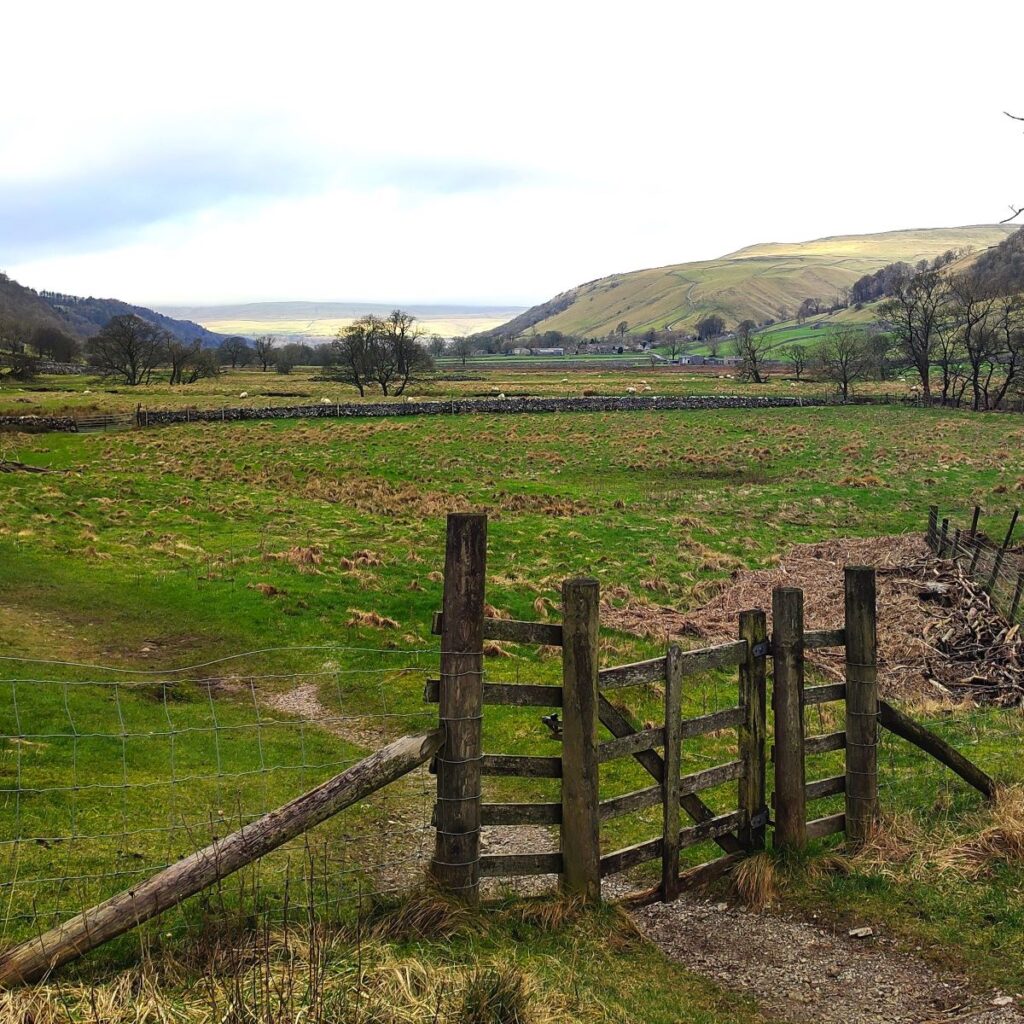
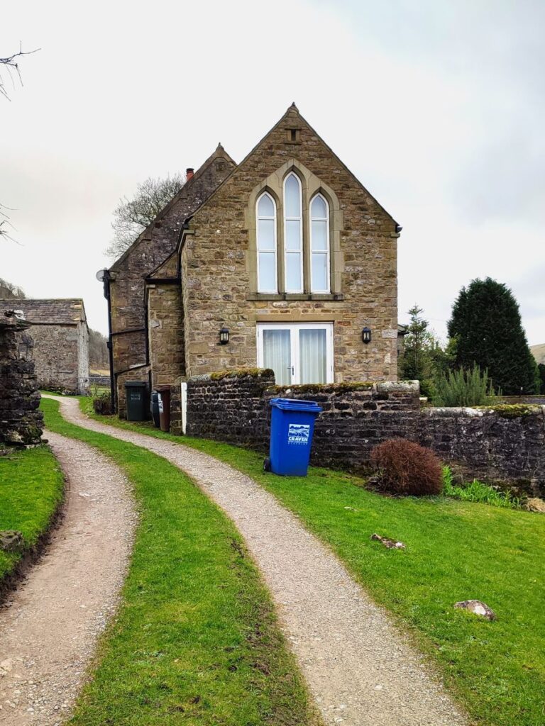
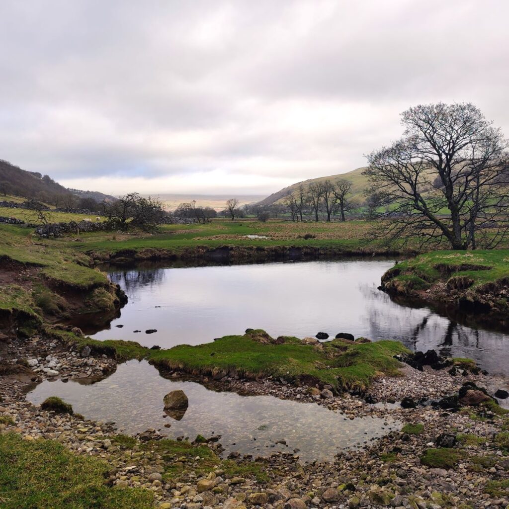
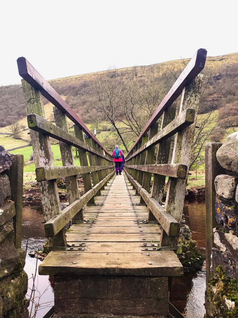
Once in Starbotton, we walk to the right of the old schoolhouse and follow the lane down to the B6160 where we cross and take a well signed path down to the river Wharfe.
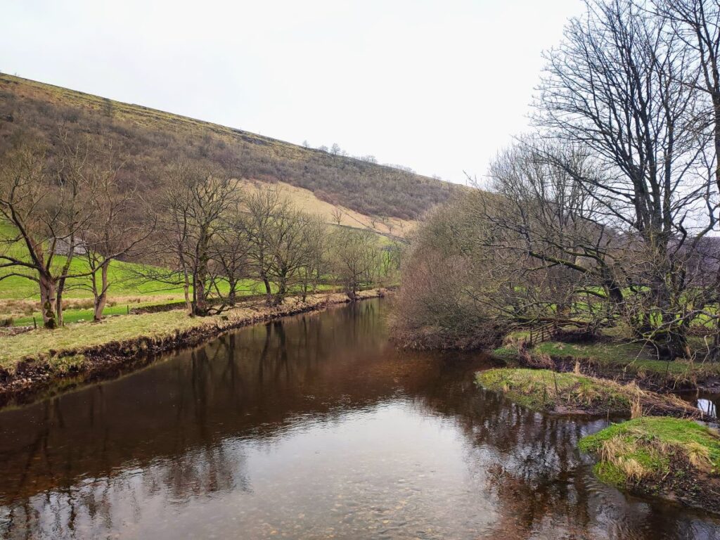
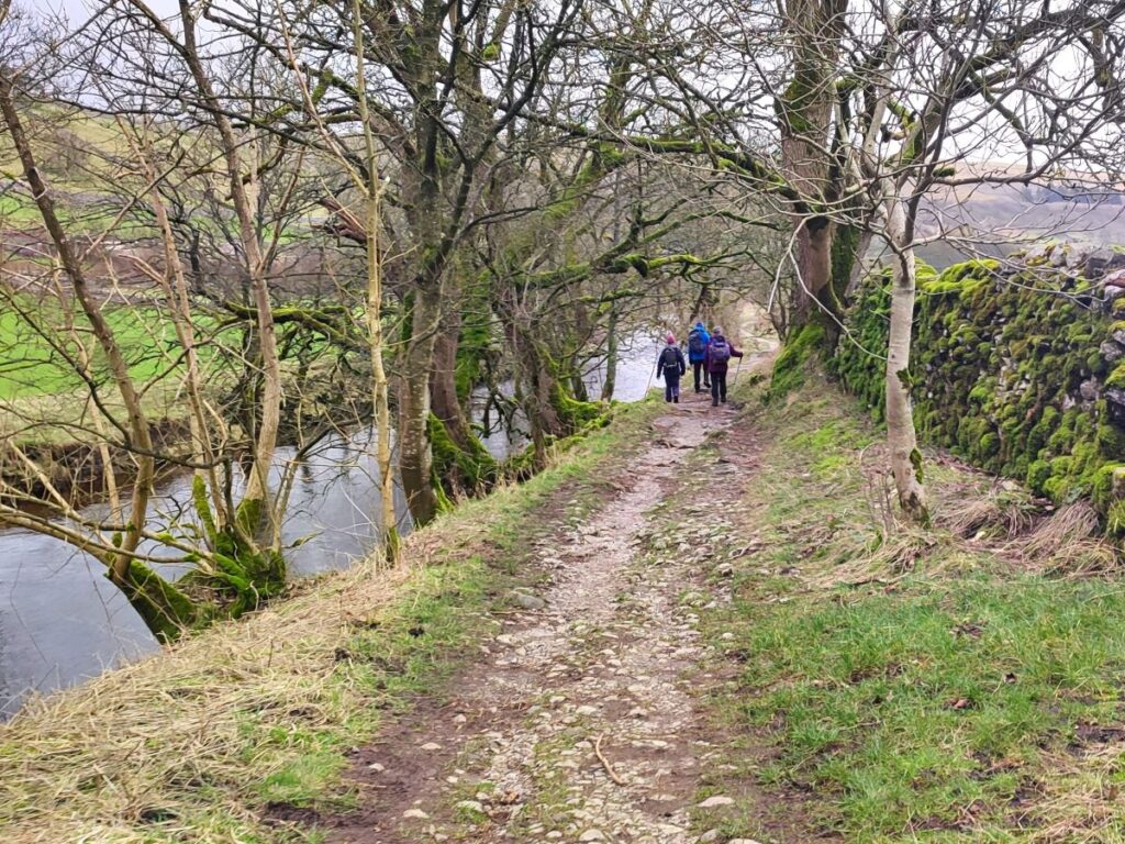
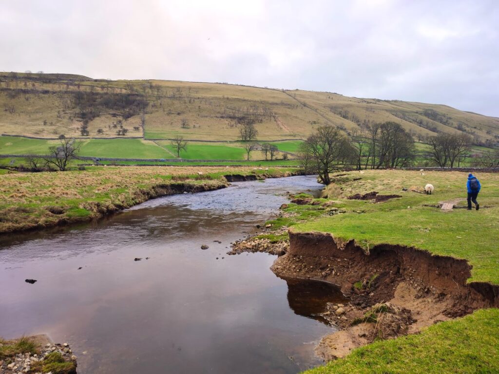
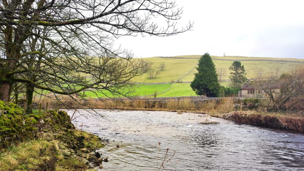
There is a footbridge to cross the river, and at the far side of that we have a choice of three paths: Turning right would take us upstream along the Dales way toward Buckden, straight on would take us up the steep climb to Arncliffe, whilst the route to the left, which we take, is along the Wharfe downstream and back to Kettlewell.
Although the path follows the river, it does not stick closely to the bank, so don’t be concerned if the river is out of sight from time to time; the route remains clear and there are yellow topped marker posts along the way. From here the terrain is very different to the earlier part of the day – we are now walking through lush meadow and the going is generally flat, although after heavy rain it can be a little muddy.
This is a good place to see curlew, oystercatchers, lapwings and if you are lucky and quiet, little owls or otters. It’s also worth paying attention to the steep fells to the right – one of the characteristic features of this landscape is the presence of waterfalls and streams that appear after heavy rain, and then fade to almost nothing in times of drought.
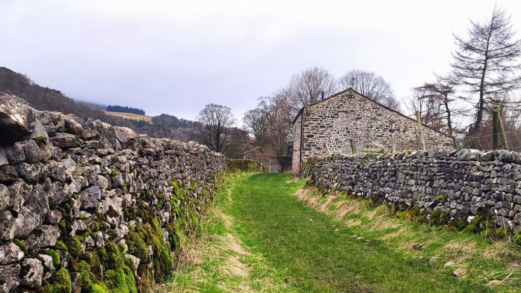
We follow the riverside path all the way back to Kettlewell, where we see our cars – we just need to follow the path round to the right and then cross the river at the road bridge to get back to the car park safely.
This route has also been walked on the ever popular thetaxidriverj YouTube channel. Click here to see the video.