November 2022

Dowbiggin

6.6 miles | 10.6 km | 312m Ascent | 8.1 Naismith miles | George Sheridan
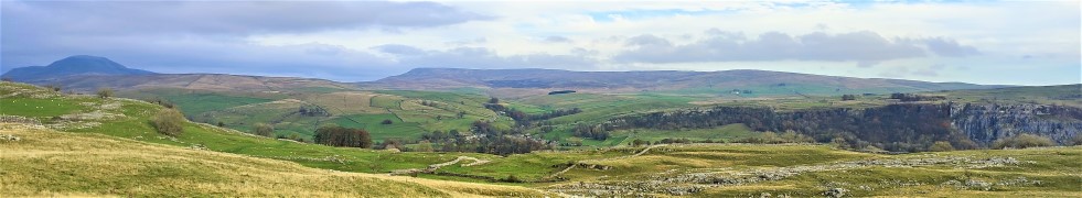
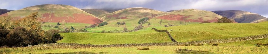
The Howgills, are a firm favourite of Bentham Footpath Group: These distinctive rounded hills with their lovely velvety appearance offer a wide variety of walks with peaks such as The Calf, Calders, and Arant Haw, along with the spectacular waterfall of Cautley Spout.
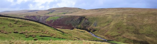
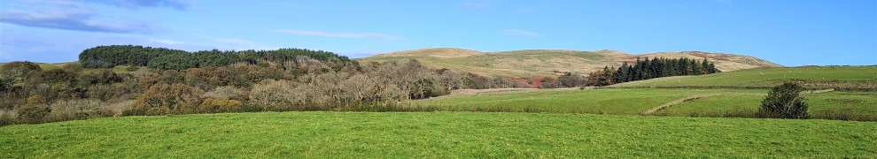
This easy walk does not do any of these big climbs – instead we focus on gaining a great view of the wider area. It starts from New Bridge just outside Sedbergh and then heads East along the Clough River, before turning North at Dovecote Gill. We pass through Dowbiggin and then cross the Hebblethwaite Hall Gill before heading West at Hebblethwaite Hall. We then press on to the A683 via an Alpaca farm at Ghyllas, and after a very short section of road walk take the Pennine Journey path along the Rawthey back to New Bridge.

Dowbiggin Read More »

Giggleswick Scar

7.4 miles | 11.9 km | 400m Ascent | 9.4 Naismith miles | Sandra Craggs
This walk starts from Giggleswick Village and then heads up through Lord’s Wood, past the quarry, to join the top of Giggleswick Scar at Schoolboy’s Tower where we get great views across the Ribble valley. From there we walk along the top of the scar until we meet the path coming up from Buck Haw Brow, when we head North to Feizor Thwaite.
A sharp turn back along the Pennine journey path brings us down to Stackhouse, and from there we stroll back to Giggleswick along the side of the Ribble at Settle.
Although this walk is classed as easy because it’s (marginally) less than 12 km, be aware that there is a steep climb and some terrain that can be wet and slippery in poor weather.

Giggleswick Scar Read More »

Whitsundale from Keld

8.1 miles | 13.1 km | 578 m Ascent | 11.0 Naismith miles | Jim Shuttleworth
Swaledale is a great place to walk, and Keld is always a good place to start; There is convenient parking at Park Lodge farmyard with a handy tearoom serving locally made ice creams during the summer season.
Swaledale is famous for its fast flowing river, and this is so because a number of side dales each with their own river merge with the Swale within a short distance of each other.
As well as Swaledale itself, this moderate walk visits three of the side dales that connect with Swaledale – East Stonesdale, West Stonesdale and Whitsundale.
Most of the route is on clearly marked paths – some of them long distance routes, and there is some road walking on quiet roads, so navigation should be simple. Be aware through that Swaledale can be very wet, and as you can see from the gallery, winter walks in this area can damp and windy. Don’t let that put you off though – this is a walk to savour at any time of the year.

Whitsundale from Keld Read More »

Cowan Bridge, Ireby and Masongill

7.5 miles | 12.0 km | 299 m Ascent | 8.9 Naismith miles | Mary & Kate Taylor
Although Bentham Footpath Group regard anywhere in the Yorkshire Dales, the South Lakes or Forest of Bowland as “home”, this walk really is local – and it reminds us just how much wonderful walking lies on our doorstep.
This route takes the form of a figure 8, so there are clear opportunities to walk either loop independently, or to combine them as we have here, to create a moderate walk with great views.
We start with a pleasant stroll along Leck Beck, then take a quiet road up Leck Fell before heading down green lanes to Todgill farm – where the two loops of the walk cross – and from there to Ireby. We then go via Over Hall and Stirragap to Masongill, and back over fields to Ireby again. We then follow a quiet lane back to Cowan Bridge via Leck.

Cowan Bridge, Ireby and Masongill Read More »