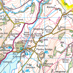
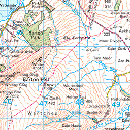
Jump to . . .Step by Step | OS Map | Downloads | Gallery | Fly through
As a group, we put a huge amount of effort into researching our walks and scheduling them such that we make the most of the seasons. That diligent planning ensures that when we set out for the Levens Estuary (as we had always planned for this day), we do so safe in the knowledge that we will be enjoying the mid-august sunshine in complete safety.
Sometimes though, the weather doesn’t match our plan, and we find ourselves facing flood warnings on the route we had chosen: We are lucky that our walk leaders have an encyclopaedic knowledge of the area and can create a fresh walk out of thin air at short notice. This walk therefore is just such a piece of magic – a reprise of one that we did a few years ago which feels just as fresh and well prepared as usual. Keep checking the website to see whether we re-run the Spark Bridge and Levens Estuary walk, but in the meanwhile enjoy this excellent alternative.
- Total distance 13.9 km (8.6 miles)
- Total ascent 317 m
- Moderate walk
Step-by-Step
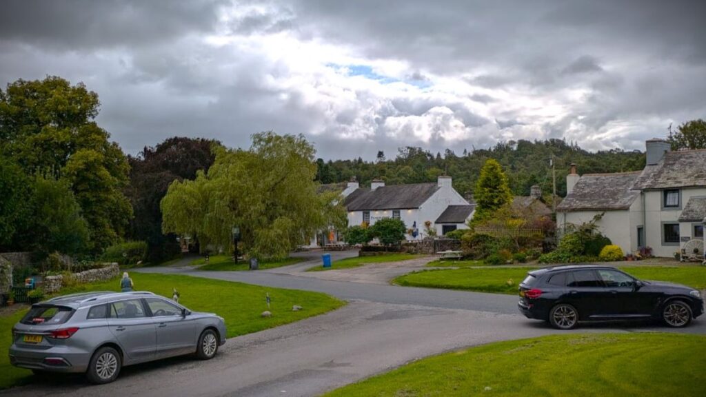
We start at the small village of Askham – not far from Pooley Bridge, an area we have visited a few times. The best route to Askham, assuming you are travelling from the south, is via the M6 northbound leaving at junction 39 signed for Shap. Take the A6 north through Shap following signs for Penrith. The A6 goes under the M6, then back over and approaches Hackthorpe. Go left onto a minor road and continue through Lowther – Askham is then just 500m further along this road. We cross the River Lowther, pass St Peter’s church, and then after 100m turn right into West View to find the car park.
If you are using Satnav to get to the start point, then try West View, Askham, Penrith CA10 2PD as an address. If you prefer paper maps, then the OS Grid reference is NY51512395 whilst the what-3-words tag is vase.reference.stumps
You will notice that the signage at the car park gives the impression that the parking is for Askham Hall, but this is a public car park as indicated by P on the OS map.
If you want to know more about Askham, click here for a Wikipedia article or here for the Visit Cumbria web page
Although not the purpose of today’s walk, Askham Hall is an interesting site – until recently it had gardens and a café that were open to the public, but is currently re-focussing on offering up market hotel accommodation and wedding venue services, so please don’t go “exploring” there.
The hall itself evolved from a pele tower at some time in the 14th century. In 1828 it served as a rectory for a short while before being passed to the Lowther family in the 1830s. The 7th Earl of Lonsdale used the hall as his residence following the wartime requisition of Lowther Castle (more on that later). Askham Hall became a Grade I listed building in 1968, and as we have noted, it is now a hotel.
From the car park we head back down the access road we arrived on, and once back at the main road, head right toward the village centre – just 100m away. At this point we meet a crossroads and continue opposite, still heading west.
We ignore a road branching off on the left and continue through the village. The houses soon end – the population of Askham being just 356 in the 2011 census – and we find ourselves walking along the front of a large farm. The road is initially metalled, but degrades the further we walk, and eventually becomes a track.
Beyond the farm we keep the wall on our right as we head out onto Askham Fell – we are climbing quite steeply through this section of the walk, and use the left hand end of small woodland ahead as our next landmark. There are a good number of side paths and tracks marked on the OS map on the climb from Askham village to the peak at Heughscar Hill, and many more are apparent on the ground, so if you want to be sure to follow the walk we describe here, keep to the wall or better still download and follow the GPX trail.
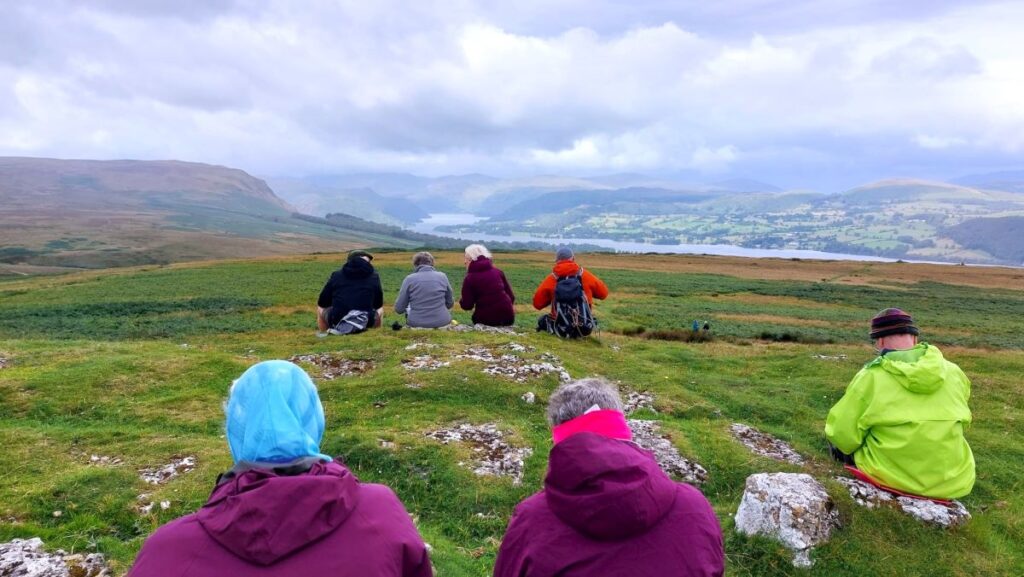
As we get past the end of the woodland, we have a short climb to the peak where we are rewarded for the hard work we have invested: A great view over Ullswater opens up with Pooley Bridge at the right hand side, and the fells that we enjoyed on our Ullswater Way linear walk under somewhat better weather in July 2022 ahead. This is a great vantage point to take a break.
Between the peak of Heughscar and the lake below, there are a number of interesting sites which you may want to add to the day:
The most famous Roman Road in Cumbria – High Street – runs north-south just 200m below our viewpoint. Catalogued as M74 (M in this instance standing for Margery, the academic who first described the Roman road network in the UK), it runs for about 20 km over the high fells between Ambleside and Brougham fort near Penrith. The highest peak of the road is 828m and is somewhat confusingly also named High Street after the road it sits on. The combination of the stunning location, the inherent fascination of Roman roads and the determination of the tourist industry means that there are many walks that feature the High Street – Google is your friend.
Somewhat older and on the course of the Roman road 500m southwest is the Cockpit, an impressive Bronze age stone circle. The picture here is from the Visit Cumbria website and is the work of Simon Ledingham.
The Bronze Age in Great Britain lasted almost 1500 years, and it is hard to date the Cockpit within that timeframe because it has features of both the early and the late Bronze Age: Stones set within a low embankment suggest a late date. However, it is more than 20m in diameter and has more than 20 stones greater than 1 m high, which together suggest an early date. It is therefore generally agreed that it is at least 3500 years old and could be as much as 5000 years old.
Although the engineering challenge of creating this structure would be trivial now, it would have been a huge undertaking at the time, so how was Cockpit built? It is thought that as a first step the land was levelled and the circle dug out. Then, rather than digging a hole for each stone, the stones were put in place at the edges and finally the flat central area was backfilled. The question as to why it was built is even more intriguing: The large flat centre and clear entrances routes suggest a meeting place for the scattered local population, but it may also have had religious or spiritual significance.
Askham Fell and Barton Fell – which is adjacent to the southwest – are littered with such ancient sites. More than 100 Bronze Age sites are known – although many require expert knowledge to even see where they are.
Fully refreshed, we turn round and start to descend. We initially head back to the southern end of the stand of tree below us – retracing our outbound route – then strike out south toward Moor Divock. As on the initial climb, there are many paths here, some marked on the OS map, but many not, so there is some potential to take the “wrong” route, but in practice the route we are following is the clearest. Across Moor Divock (which is just the name given to a flat area of Askham Fell) there are further ancient sites and interesting geological features such as sink holes, and again we get a clear sense of ancient habitation. It is thought that the name derives from Mor meaning moor) and Dyfog, (meaning a Celtic person).
We are now heading Southeast as we take a clear downhill route toward the minor road into Helton, but on the way it’s worth taking time to have a look at the Cairn Circle – another of the atmospheric ancient stone structures, and then just downhill from there, the Cop Stone, a larger isolated stone, which geology tells us is not a natural feature.
We soon arrive at a metalled road and our path continues opposite – we need to be careful though as there are two routes down from the fell, and each has a continuation on the far side of the road. We need the more northern of the two – the one to our left as we arrive at the road. They are just 60m apart so you should be able to see both.

The path now heads across pastureland toward the edge of Helton – the route is clear and obvious as long as we keep left as we approach the village and ignore the tempting track to the right. We arrive at the road into Helton, and go left before crossing, and then almost immediately taking a path between houses to arrive at a crossroads where we take the metalled road opposite – look for the dead end and children playing signs to be sure.
We follow this down to a footbridge over the River Lowther, where we encountered a sign that we found a little ambiguous. One interpretation would be that the bridge is closed, the other that it may not be used as a bridleway. We investigated and could see no reason not to use the bridge and so progressed – make your own decisions here.
Beyond the bridge we climb up to a minor road, and then continue opposite on a path to Whale – a tiny hamlet. As the farm buildings at Whale come into view, we look for a path on the left of the road which takes us north past Whale Farm, and then onto a track at the edge of a dense but rather atmospheric woodland which manages to generate a night-time feeling even in the mid-afternoon.
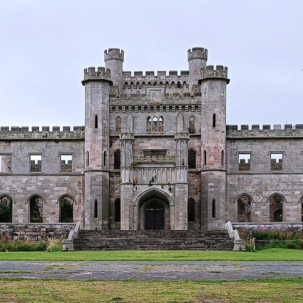
We now head north for the next mile or so, on fairly flat meadowland at the base of the valley. We are never very far from the river, although it’s not in view for all of the route. As we arrive at a wooded area just to the south of Askham, we start to see the cranes that are currently in position to help with the restoration of Lowther Castle, and once we are about 200m into the woodland, we need to bear right to approach the castle.
Click here to see a Wikipedia article about the castle
Although we did not enter the castle on this walk, it is a visitor attraction well worth getting to know. Despite looking like it has been a ruin for centuries, this grand house was essentially intact until fairly recently: In 1939 the castle was requisitioned for the war effort, and used by the tank regiment, and survived the war essentially undamaged, to be returned to the family in 1954. The family however could not afford to use or maintain it, and offered to give it away to the National Trust or other institutions. Sadly, in those depressed post-war years that transfer proved non-viable. To avoid taxes the owners stripped the castle and removed the roof, resulting in the derelict site we now see. The resolve of the current generation of the family and a less aggressive taxation regime mean that restoration work can now progress – if the castle looks familiar by the way, its probably because it’s been on TV so often. It has featured in Gardner’s World, Antiques Roadshow, and Digging for Britain, amongst others.
From the gate at the front of Lowther Castle, we take the driveway to the north. It branches after about 100m, and we stay to the left meeting the road we drove in on soon after. The path continues opposite, and heads toward an area of woodland. As we reach the trees, the path forks, and again we need to keep left so that the woodland remains on our right.
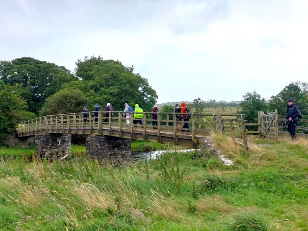
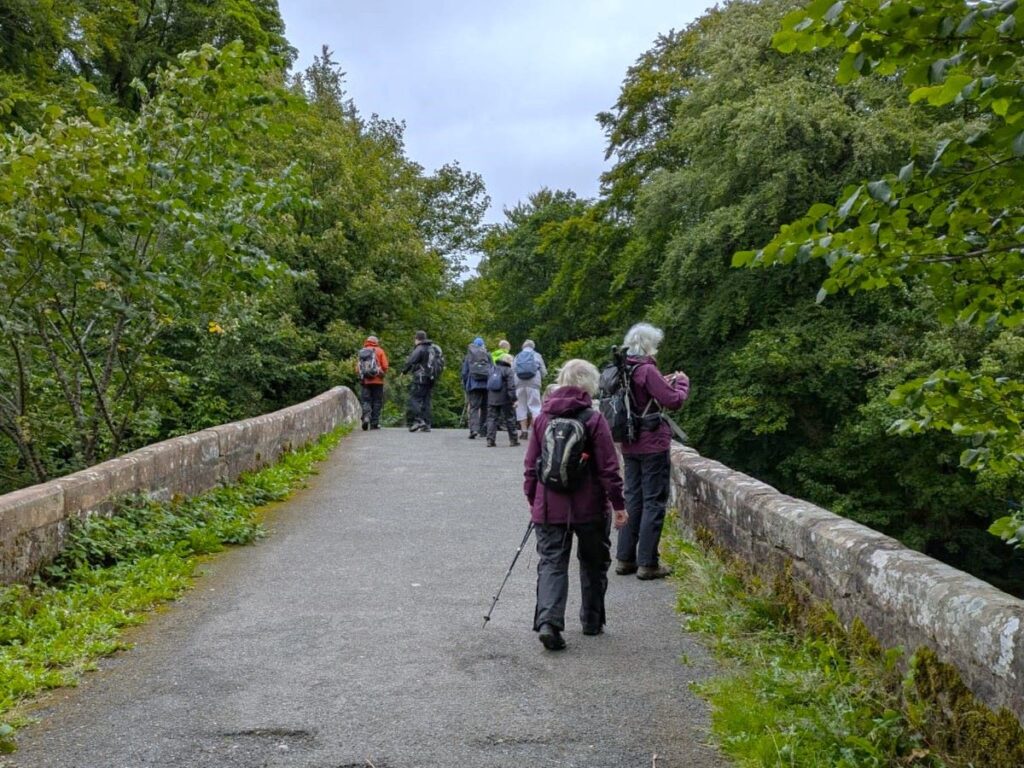
The path then arrives at a stone bridge over the Lowther, with a wooden bridge to our right – we cross using the stone bridge, then turn sharp left to pick up the riverbank path on the opposite side. This runs at the base of a wooded area and if you look right as we walk down here you will spot a mound that is indicated as “Castlestead” on the OS map.
One school of thought says that this medieval fortified structure was probably a timber “ringwork” – a timber version of a Motte and Bailey Castle without the Motte. Though Pevsner in The Buildings of England (1967) states that Castlestead is “an earthwork forming a rectangular enclosure of about 30 by 24 yds, [which] probably represents the overgrown foundations of a pele-tower or other Medieval building”. The oldest written reference to the structures was in 1174 as the “castellum deLauudre”.
The path continues through woodland following the course of the Lowther – but moving further from the riverside as we progress. Eventually, we emerge into an open field which we cross picking up a lane which we follow to the left, arriving back at the car park just 150m later.
