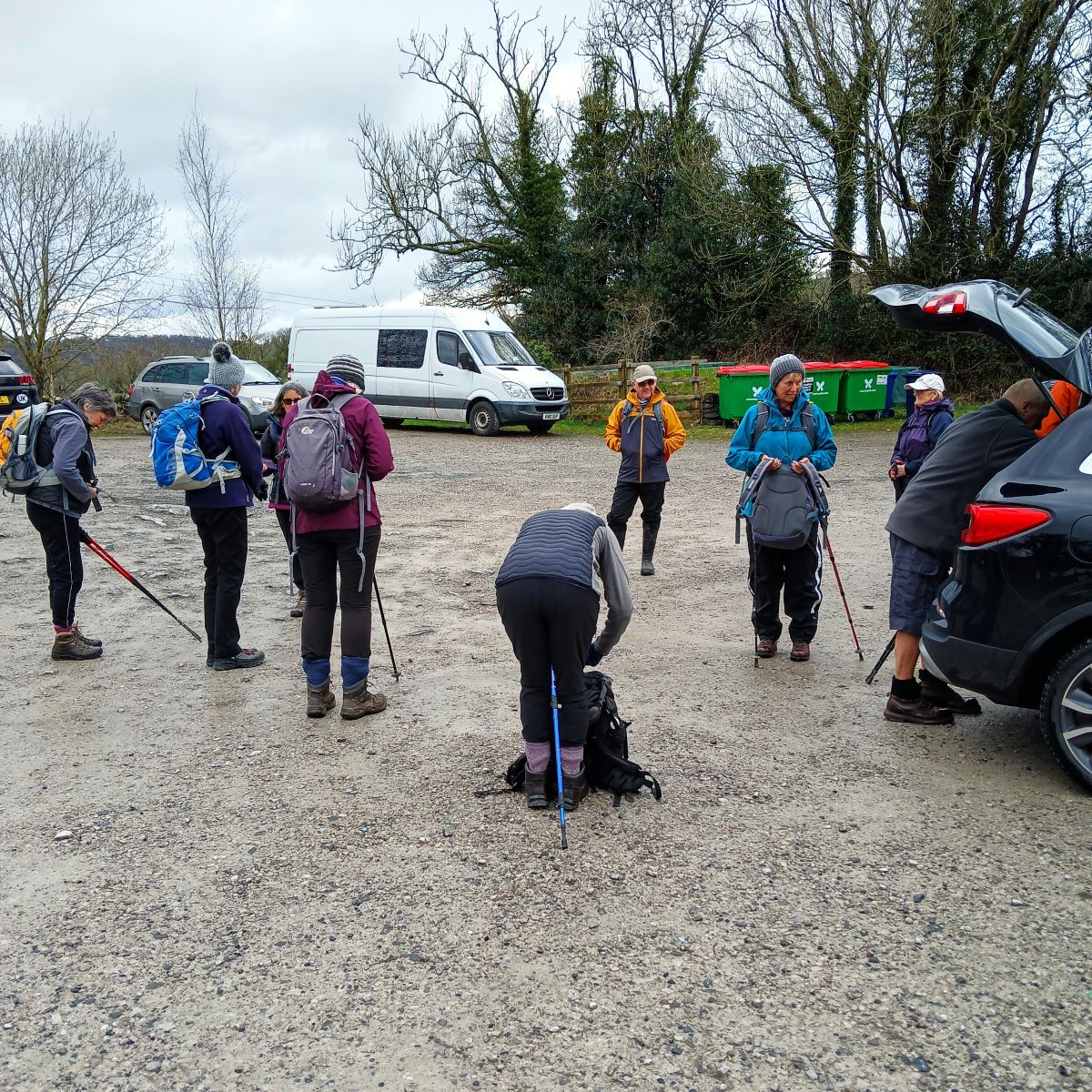
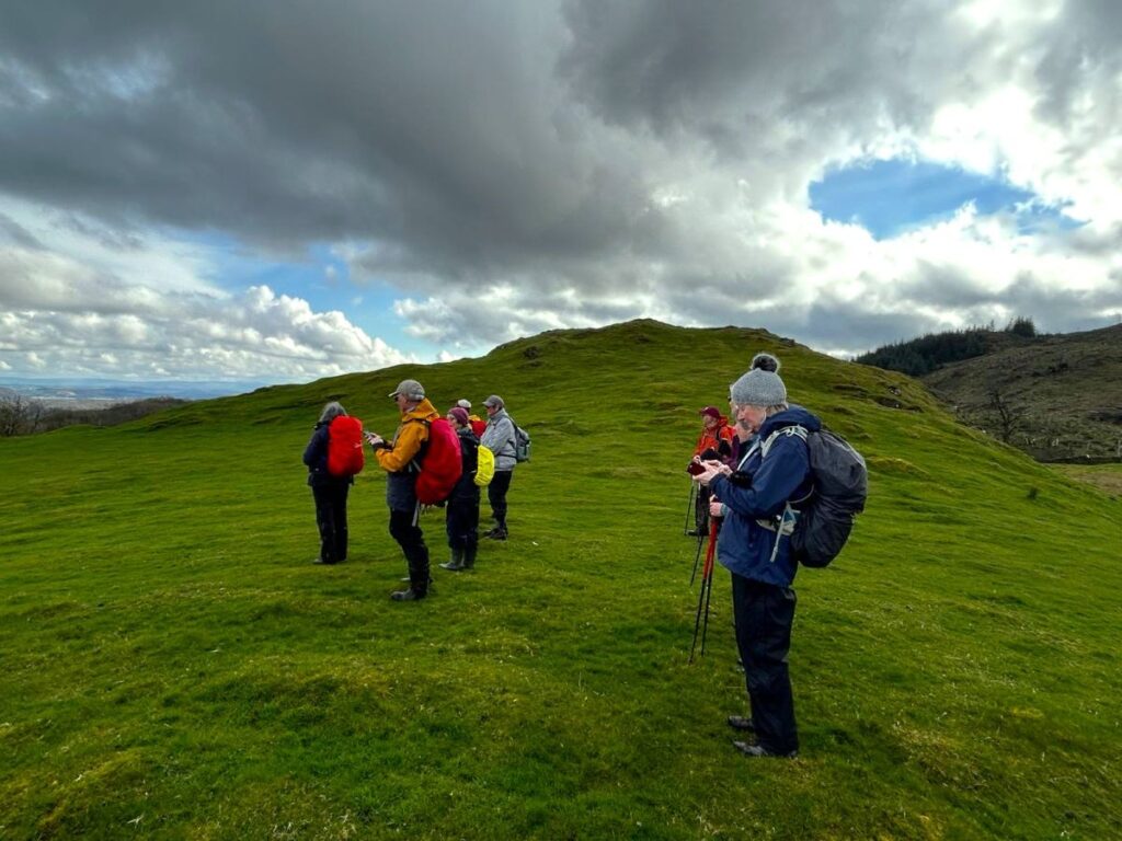
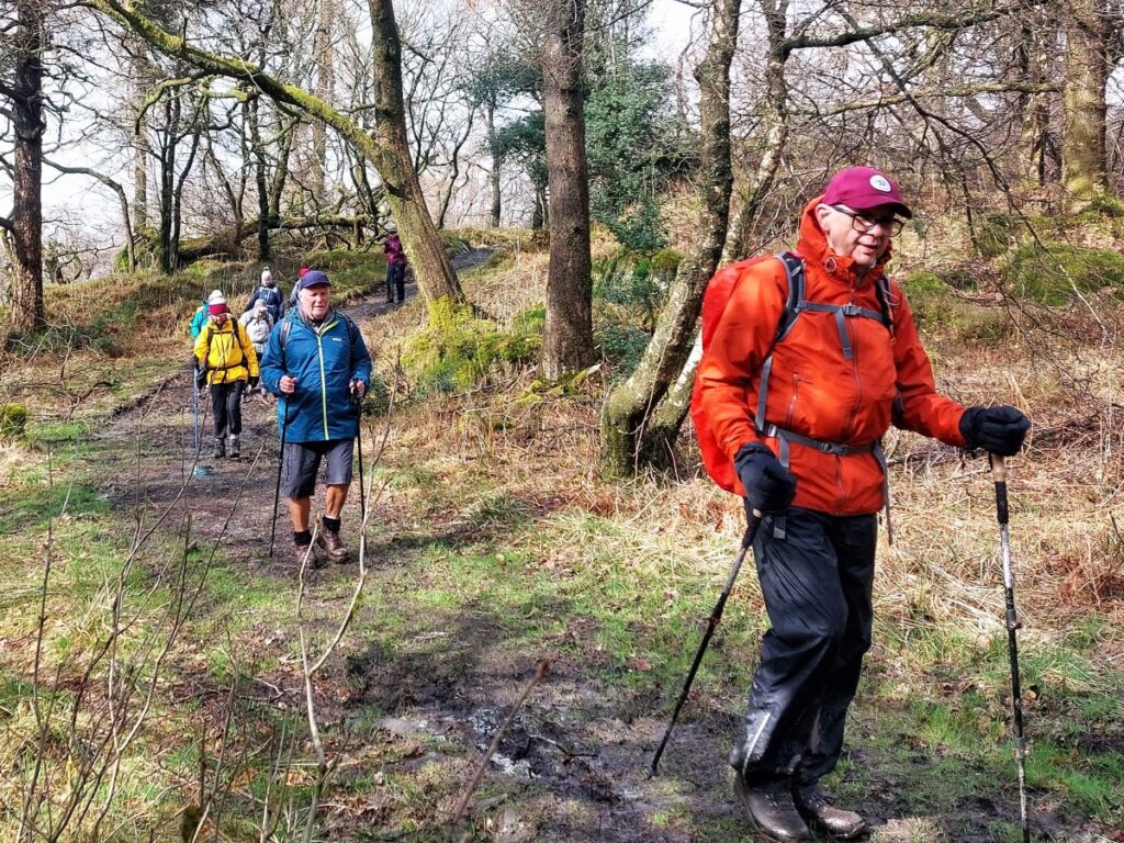
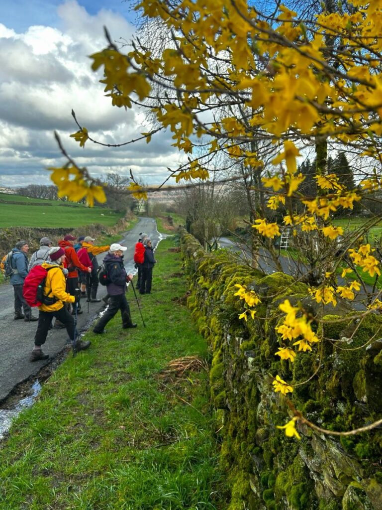
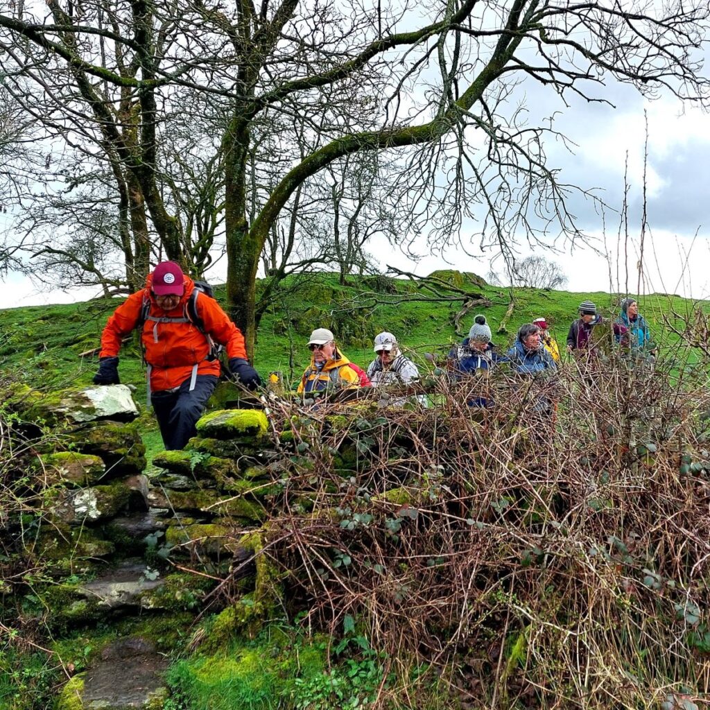
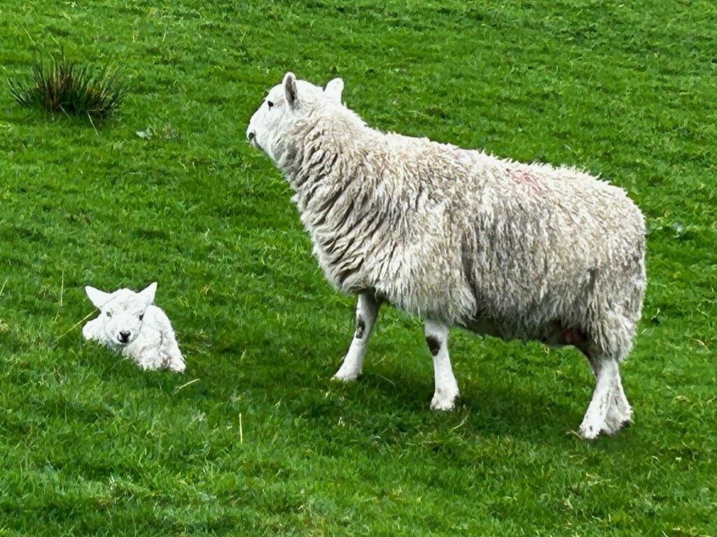
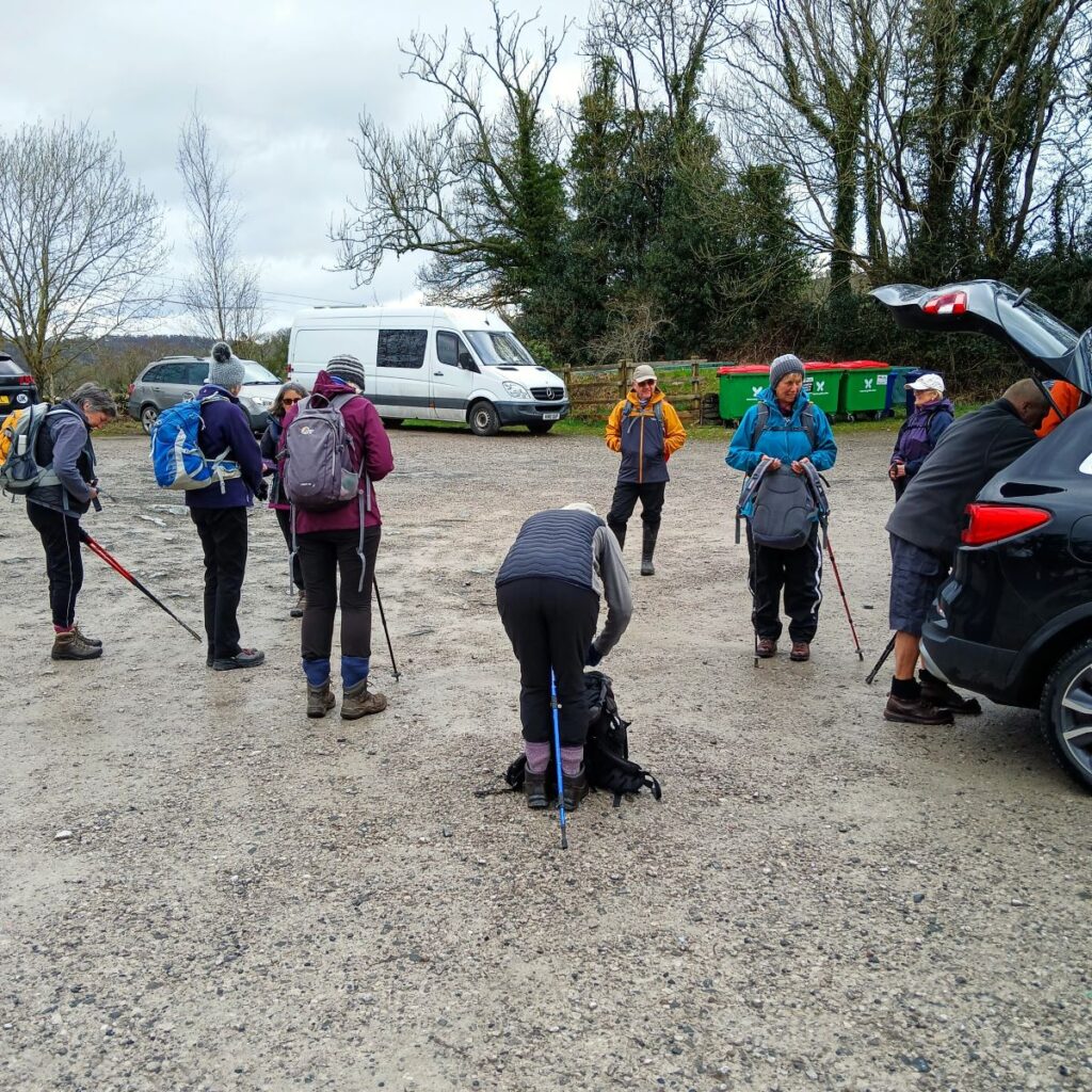
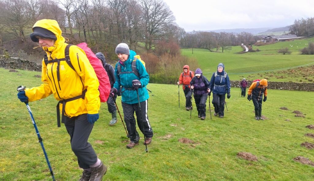
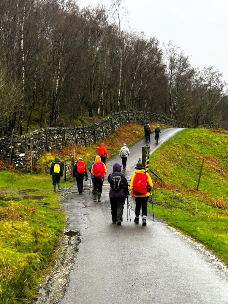
Spring is such an optimistic time of the year, and getting out and about on a walk with friends is a great way to experience it. So the Bentham Footpath Group have developed an informal habit of taking a walk each year that celebrates the season by picking a route that features the best of the new daffodils or bluebells.
So, here is a “daffodil walk”, and as all Wordsworth fans will appreciate, it really has to be in the Lake District to be authentic – which means of course that as well as the spring flowers we get great views of the fells, tranquil tarns and on this walk, links to Arthur Ransome.
Although our focus was the daffodils, this is a great walk at any time of the year. We rate it as “moderate” based on distance and elevation change but you should be aware that it can feel challenging under wetter conditions.
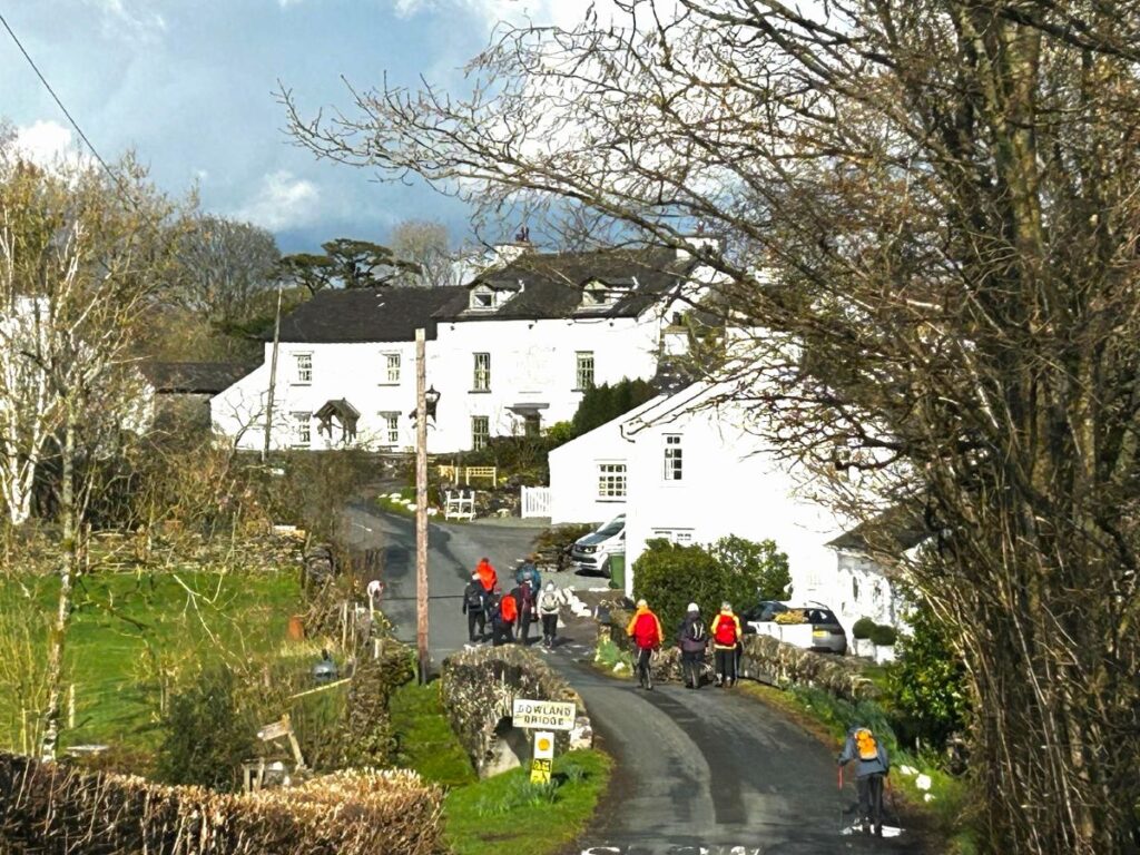
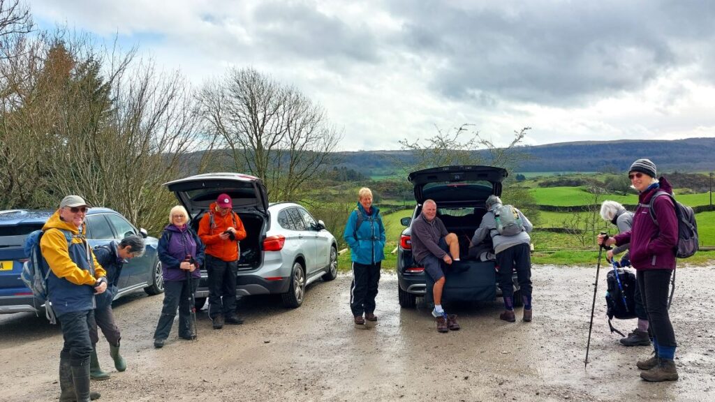
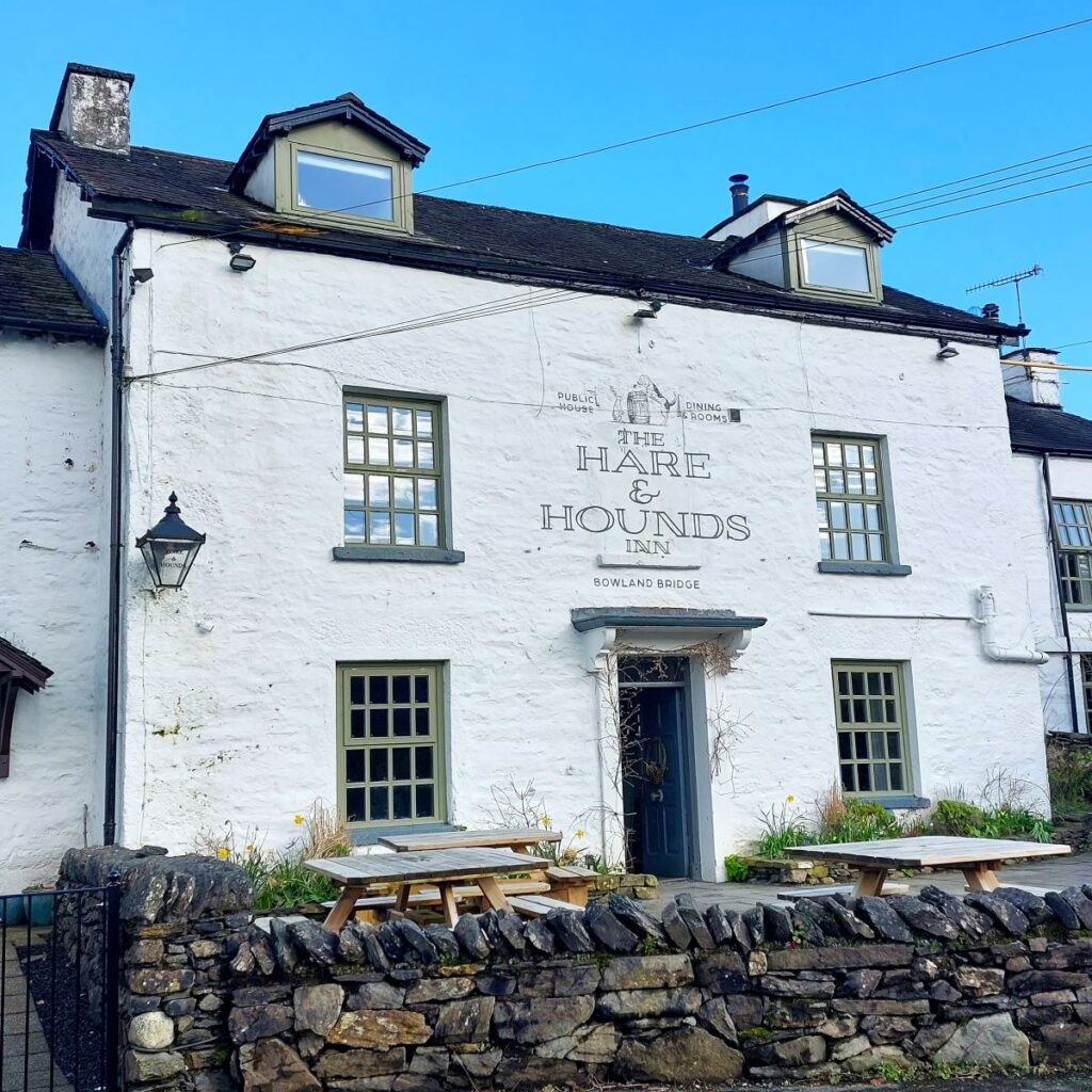
We start from the roadside layby adjacent to the Hare and Hounds pub in Bowland Bridge – an easy place to find: From M6 Junction 36 take the A590 turning left towards Barrow. After the turning for Levens, take the next right onto the A5070 signed Bowness and Windermere. After about 3 miles take the left turn to Bowland Bridge (look for signs to The Hare and Hounds and the Masons Arms). Please be aware that there is only a small amount of roadside parking in Bowland Bridge – perhaps enough for 4 cars.
If you are using Satnav to get to the start, try using the address of the pub – Smithy Lane, Bowland Bridge, LA11 6NN, or if you prefer paper maps, the OS grid reference is SD41788961. The exact location of the lay-by is pinpointed by the What-3-Words tag advantage.reds.knees
Our walk was timed to coincide with the wild daffodils, but it is a lovely walk at any time of year in a very peaceful part of the Lake District. On the day it was quite a challenging walk due all the recent heavy rain.
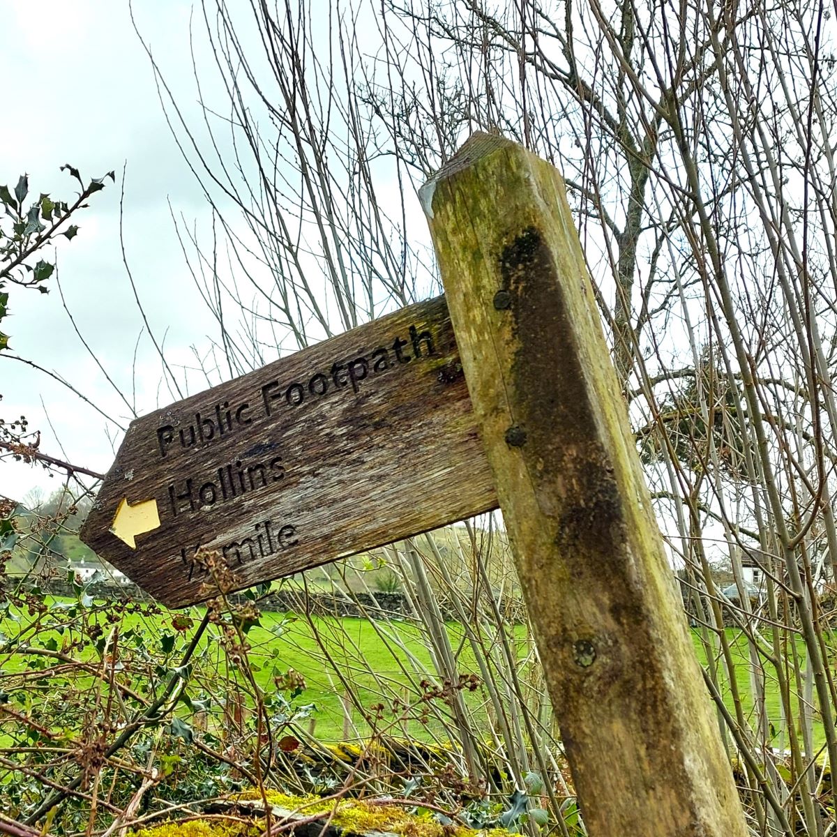
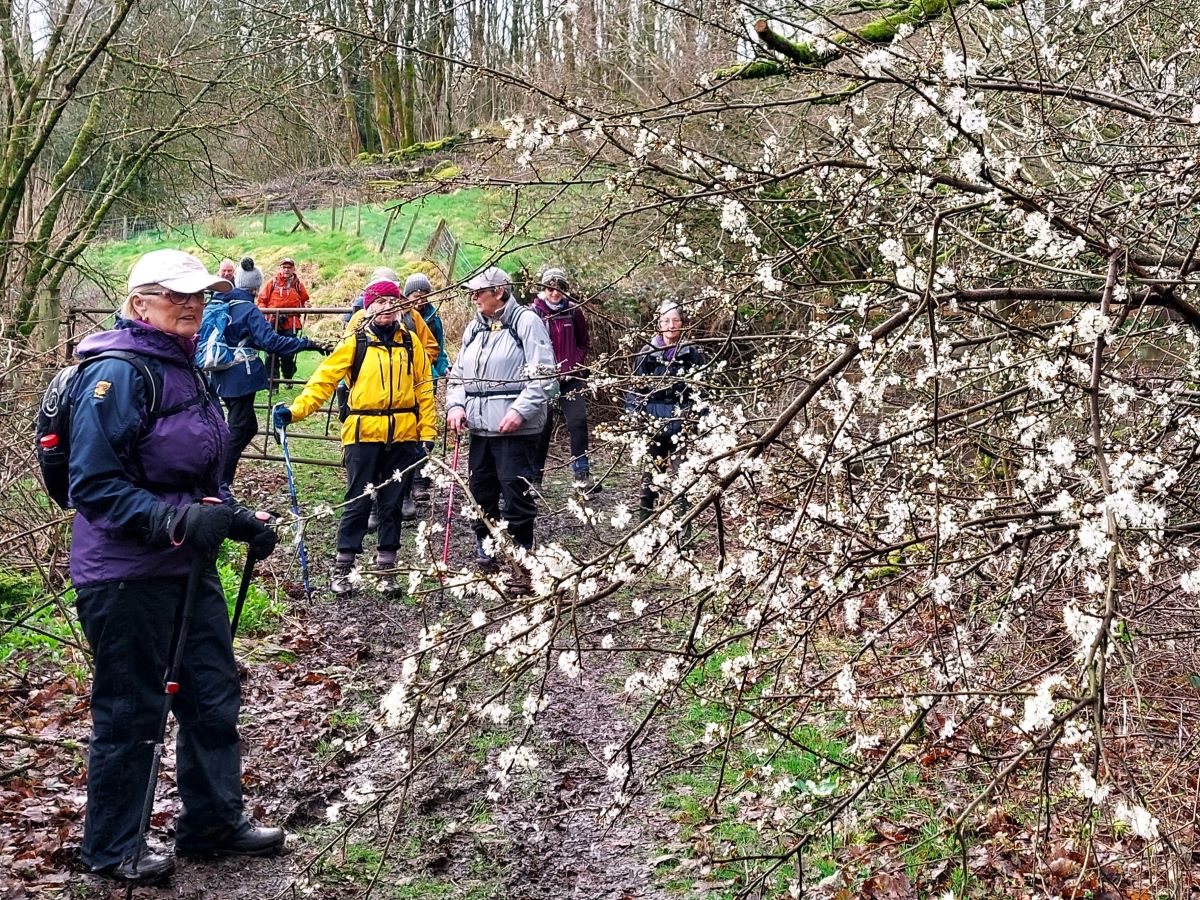
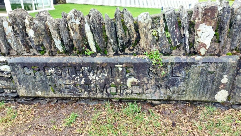
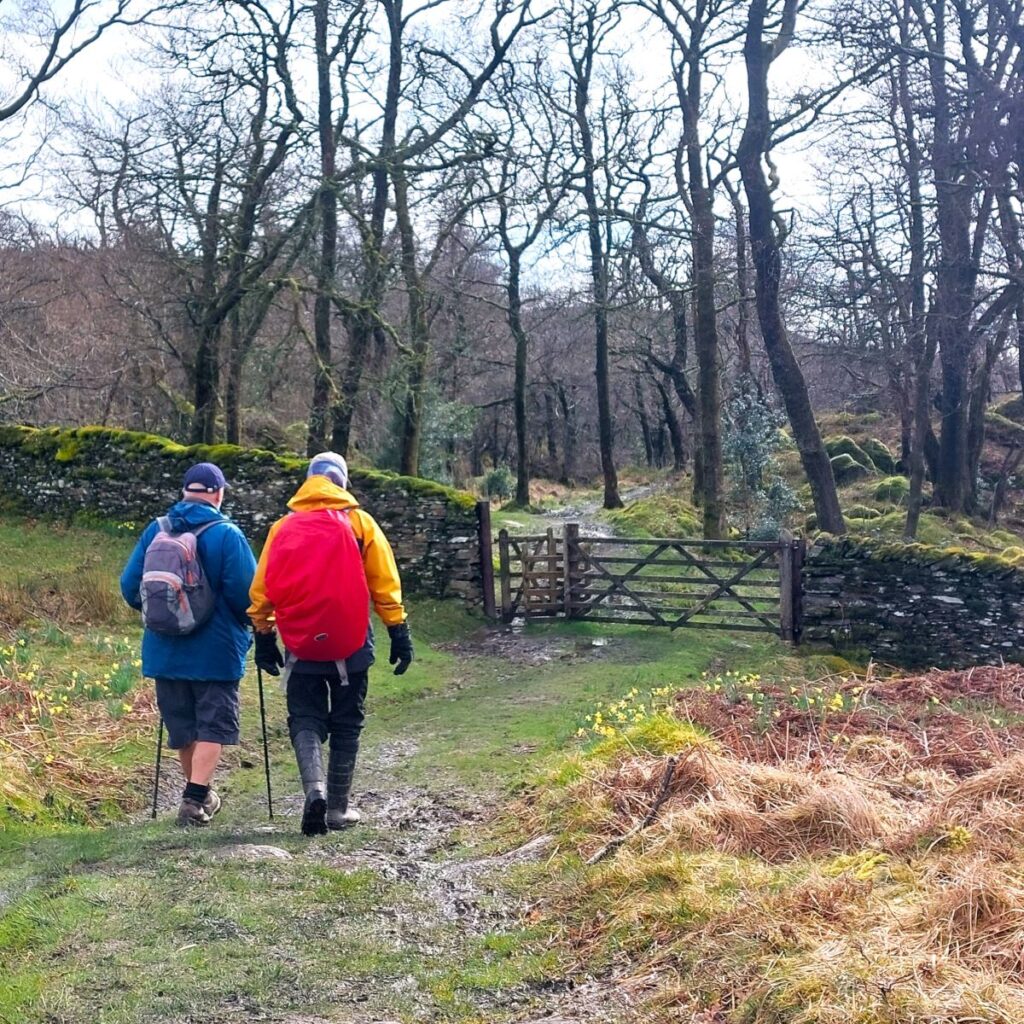
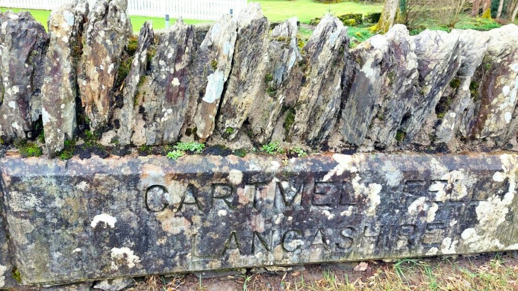
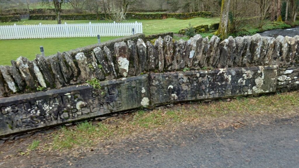
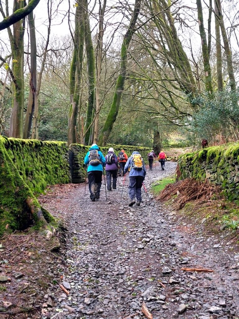
To start, we walk past the Hare and Hounds, and then over the bridge noting the old boundary between Lancashire and Westmorland in the middle of the bridge and take the footpath on the right to Hollins.
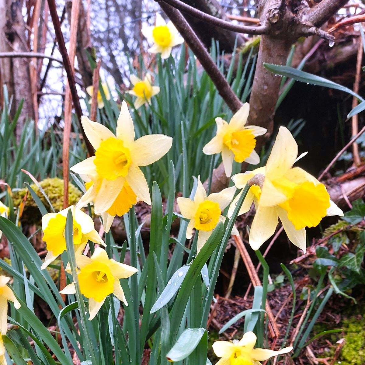
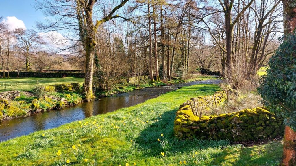
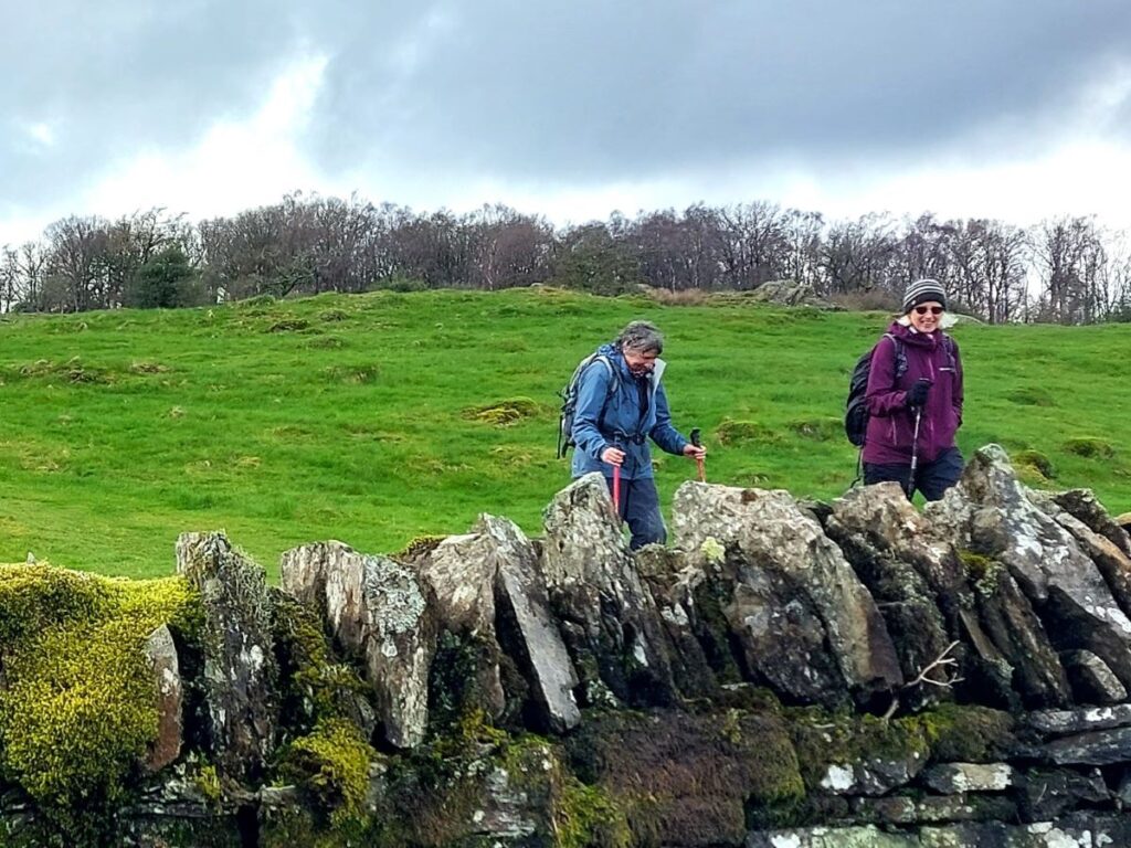
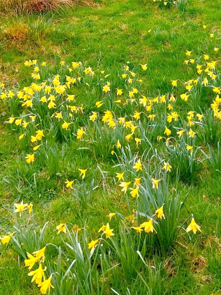
We then walk diagonally left, passing through a small wood, before bearing left and uphill to a kissing gate – enjoying the first display of daffodils – before we cross the next field keeping to the left of a telegraph pole to find a stile with small gate.
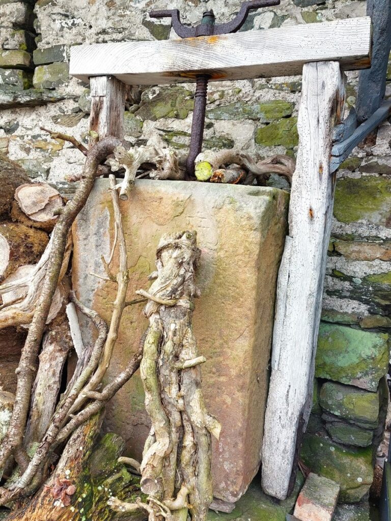
As we approach Hollins, we take small gate up on the left onto the road and turn right, then as we pass Hollins, we note the traditional cheese press on the left and numerous bird feeders on your right. We then join a track – which although rather muddy in places, rewarded us with a good display of blackthorn blossom – and continue until the road is reached – just below Great Hartbarrow. We go right at this point.
Great Hartbarrow is a very old farm, first mentioned as “Hertbergh” in 1332. In medieval times it had its own water powered “fulling mill” where woollen cloth was washed and beaten in water to thicken and felt it.
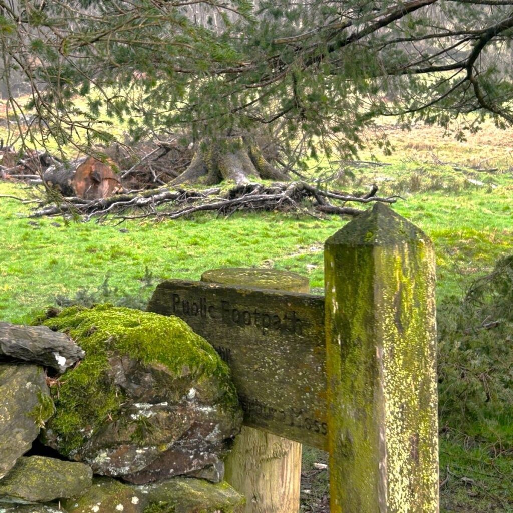
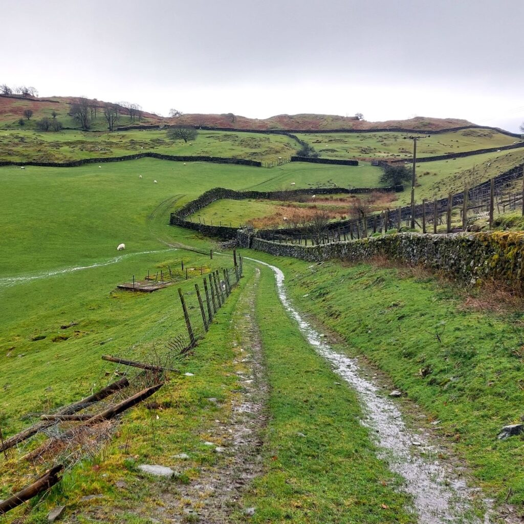
Our next landmark is a bridleway sign on the left indicating the route to Wood Farm. Three fields are crossed heading to the farm buildings.
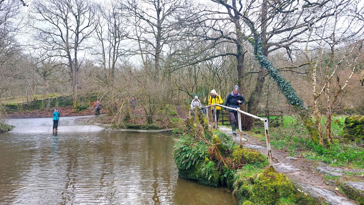
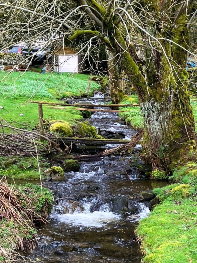
We then bear right at the green lane and go round the end of the barn, before turning right down the track and left at the road. On reaching the ford we cross the river Winster by the old footbridge on our left.
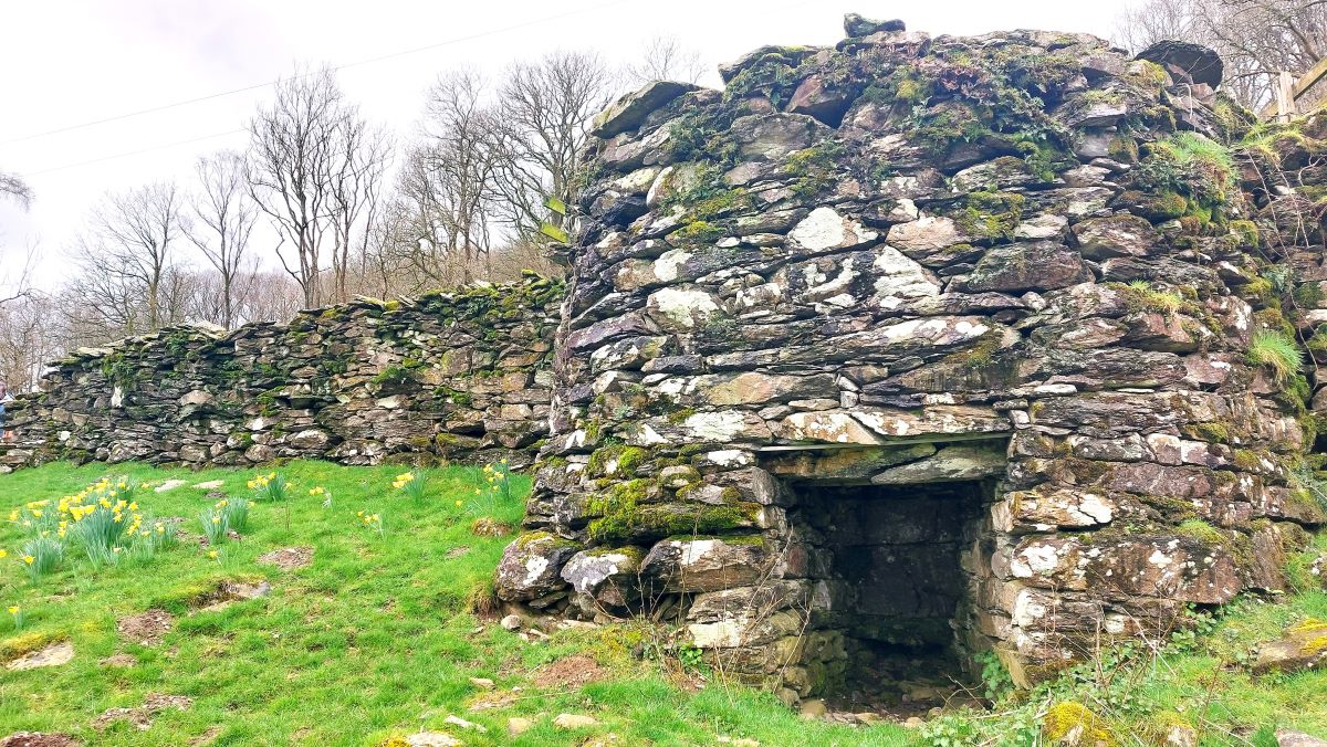
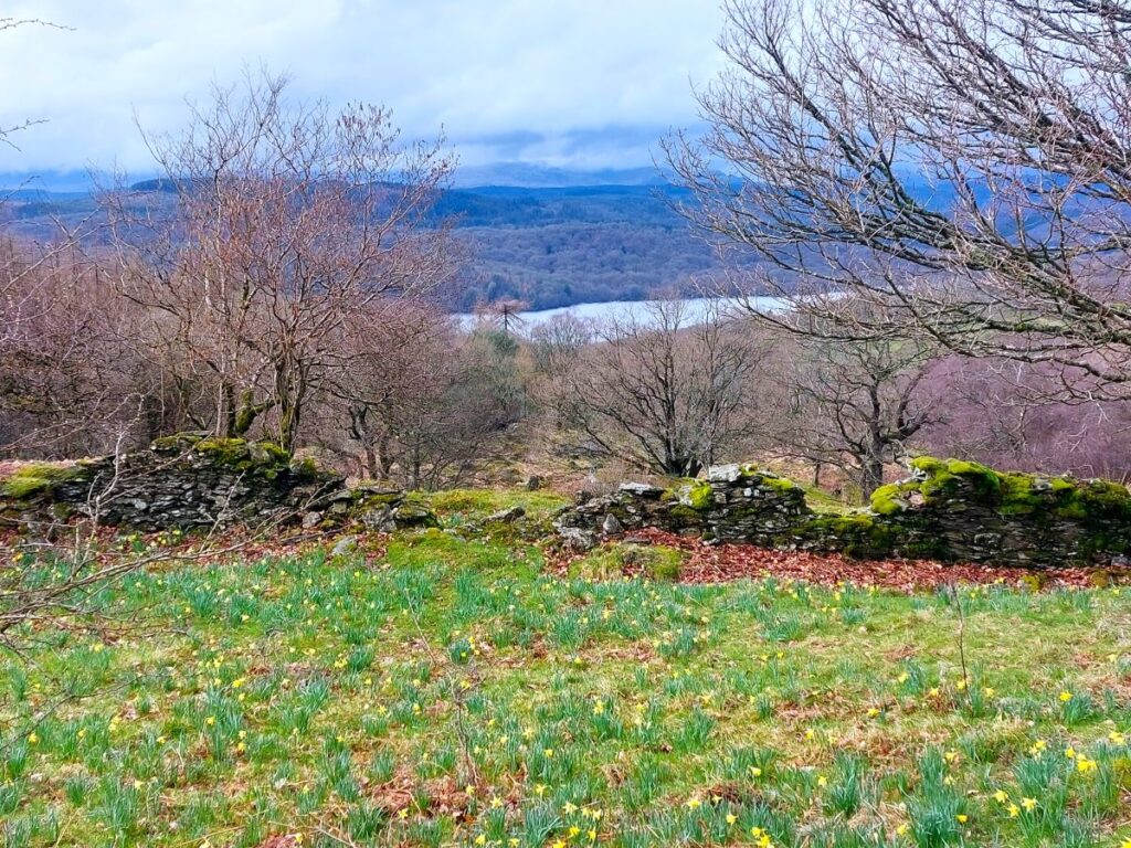
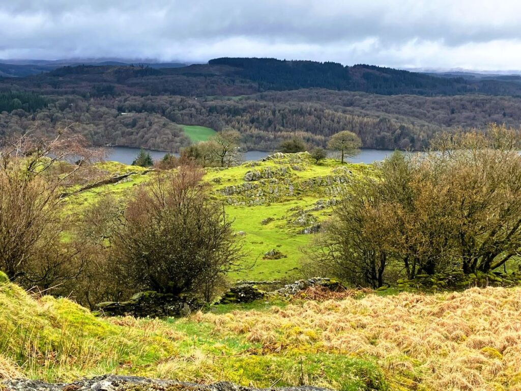
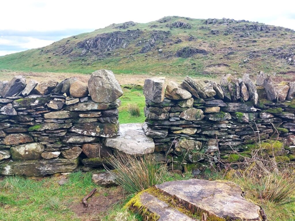
Beyond the bridge, we go through a kissing gate and then follow the track across a field and through a gateway to head gently uphill – but before we get to the gate which we see ahead of us, we go down through a wall gap, where a particularly fine limekiln is seen on our left.
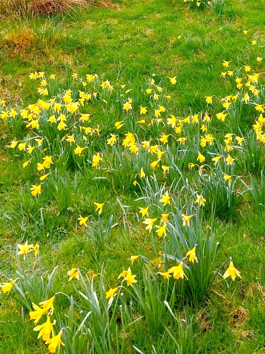
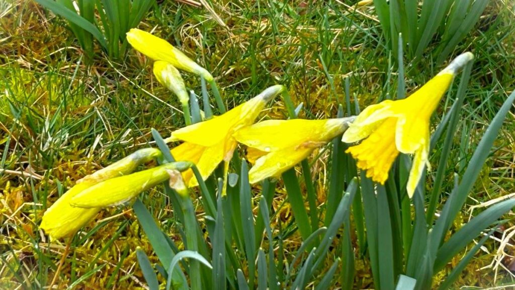
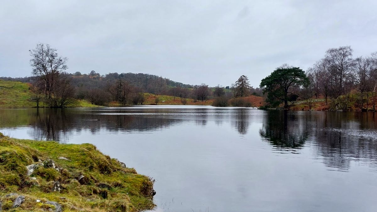
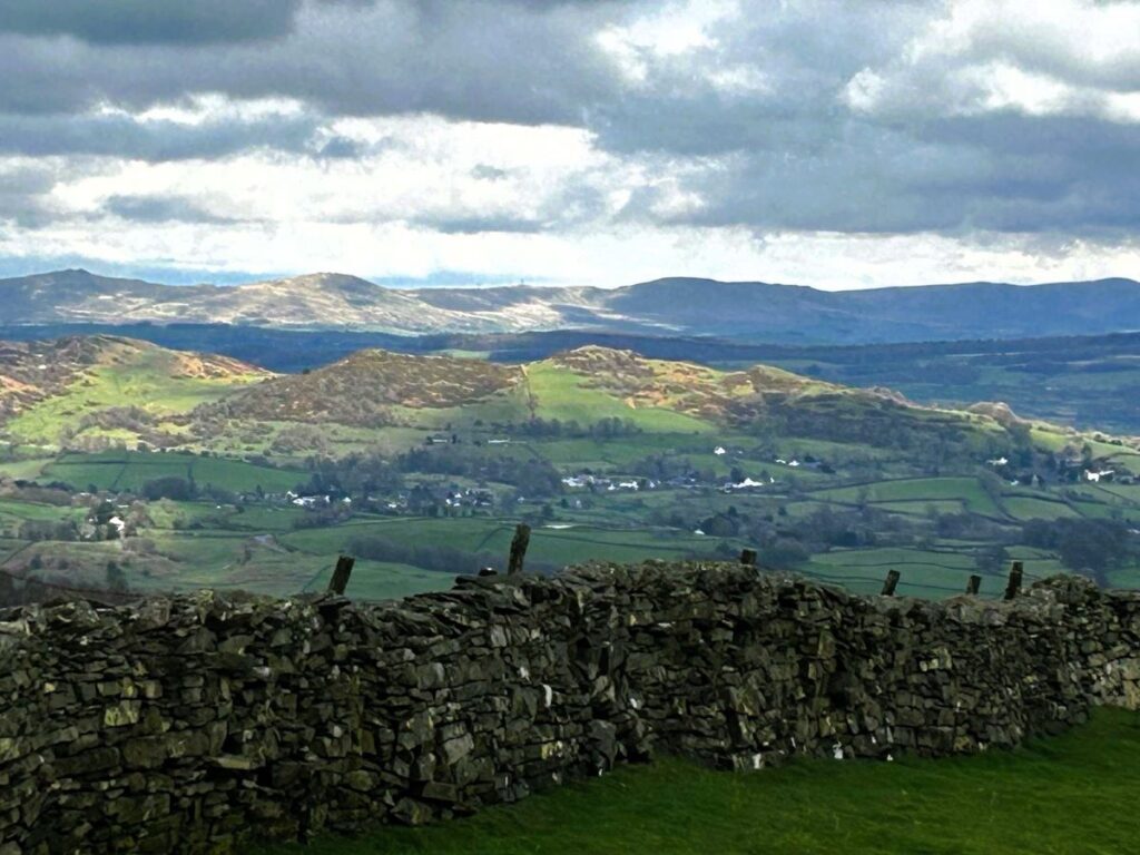
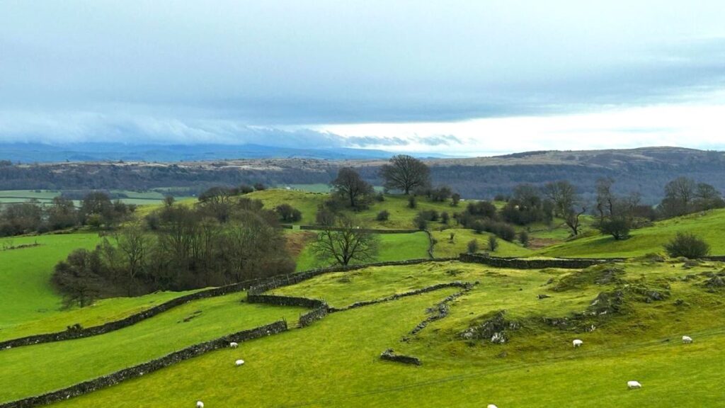
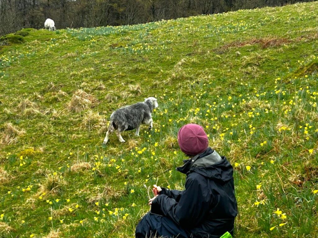
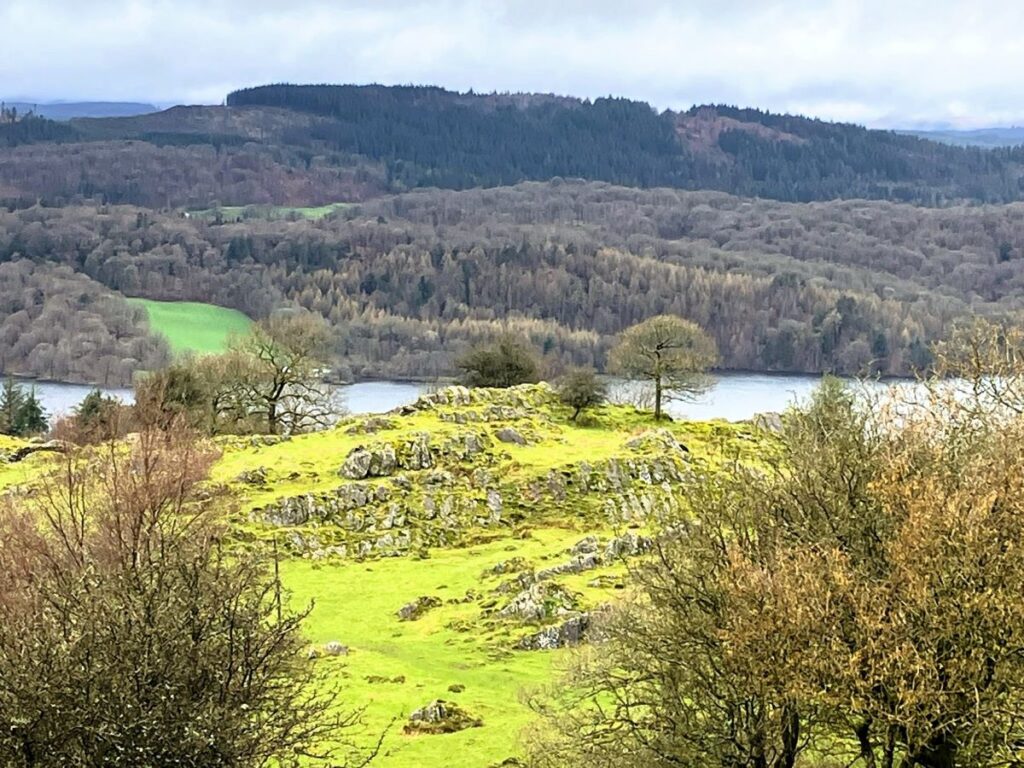
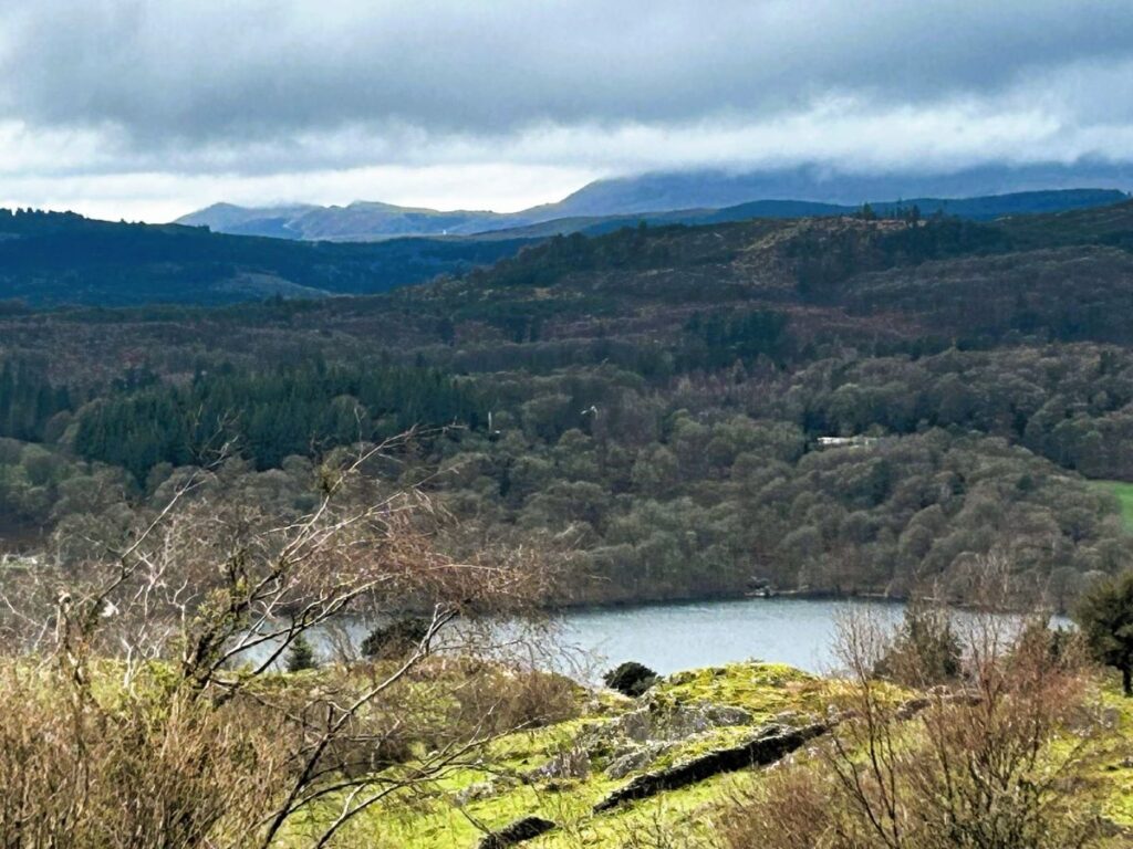
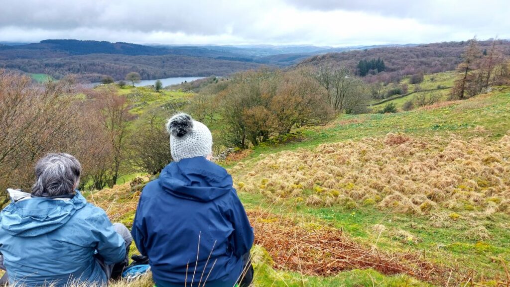
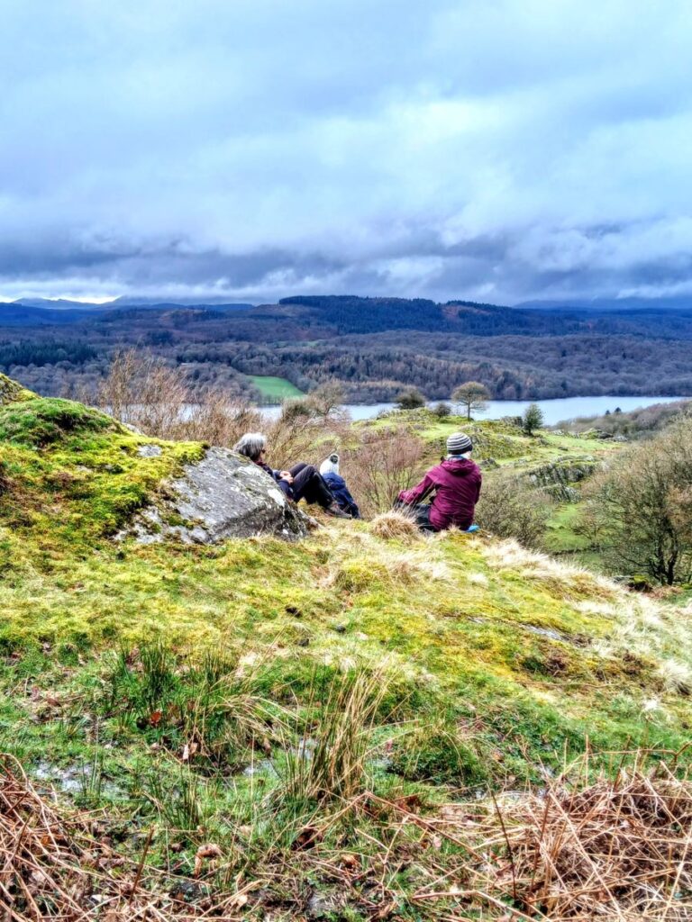
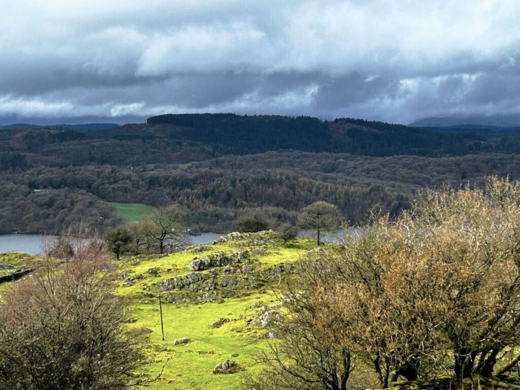
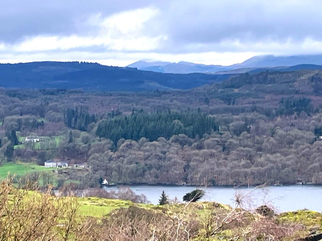
At this point, the lake is below us on our right, and the view is further improved as we reach a fine display of daffodils on our left. If you want this view, then we recommend scheduling your walk for late March/early April.
From there we continue to Winster House and turn left steeply uphill on a track passing a row of beech and walnut trees, although species identity may not be obvious without their leaves.
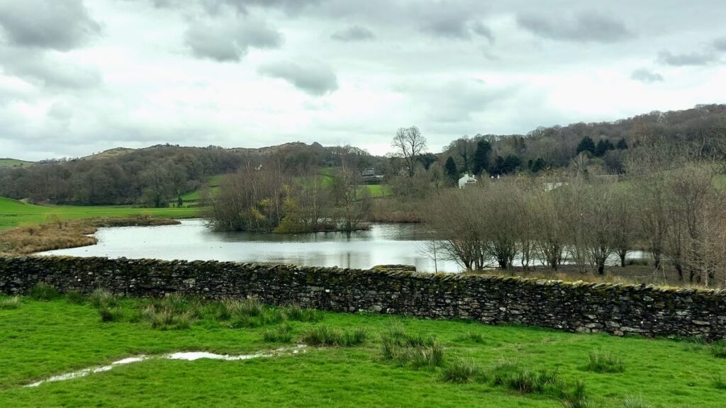
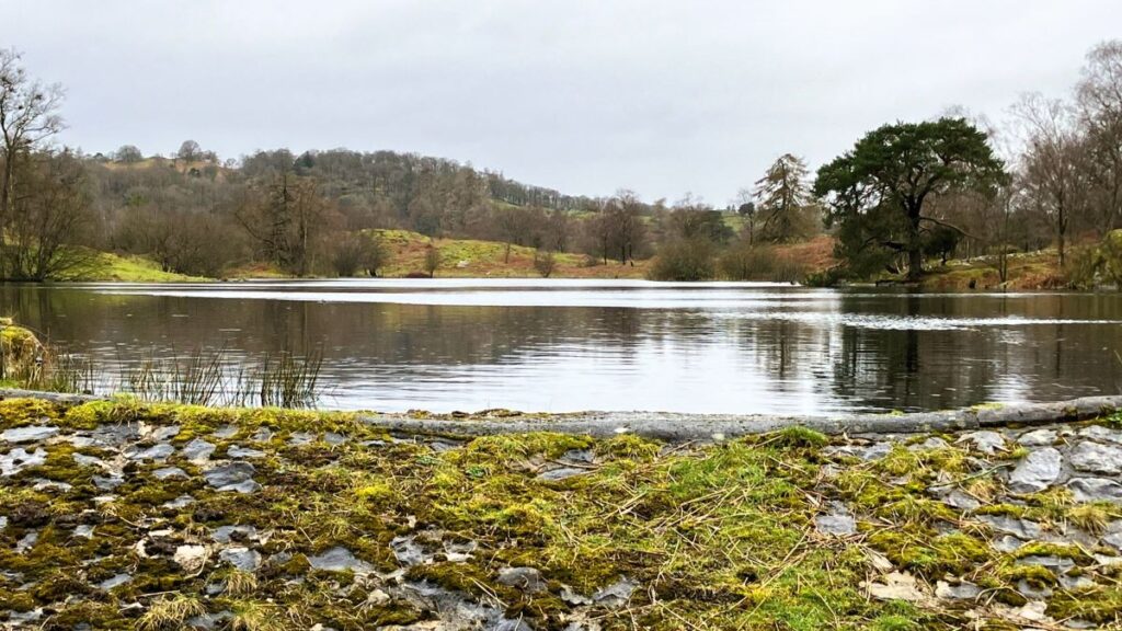
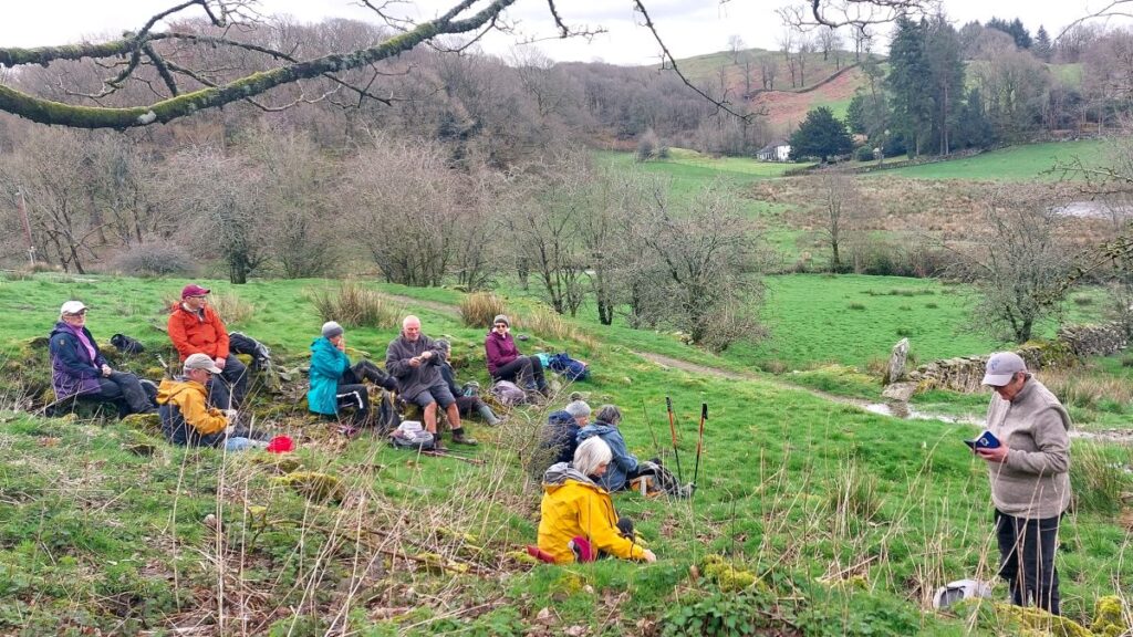
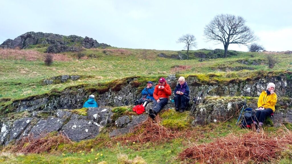
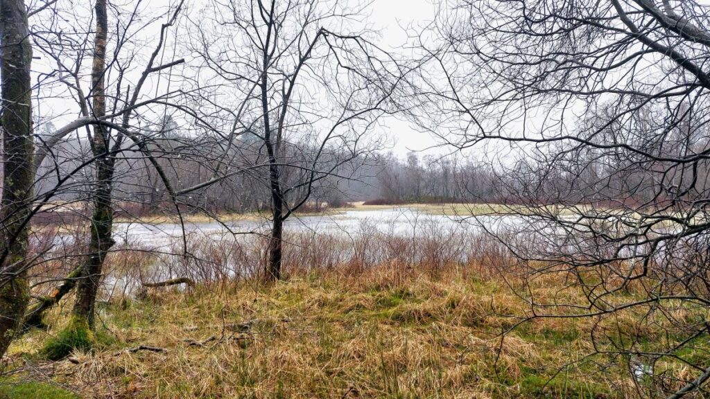
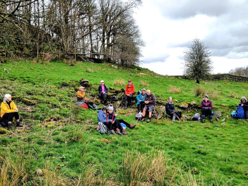
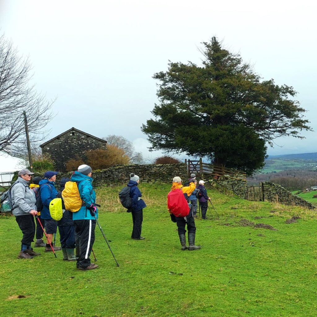
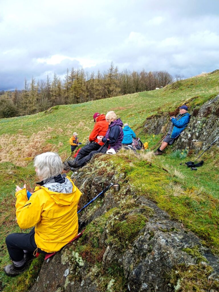
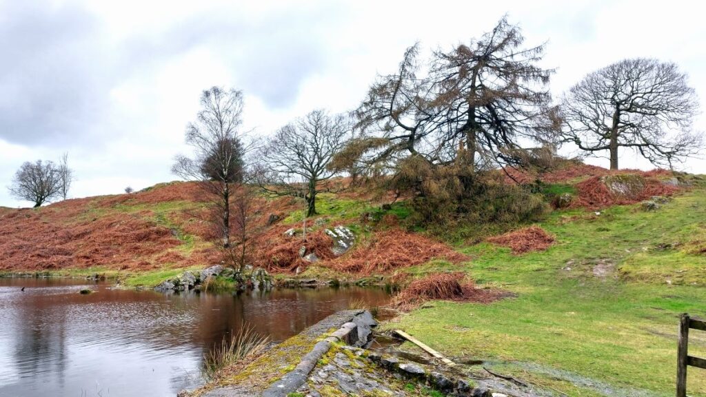
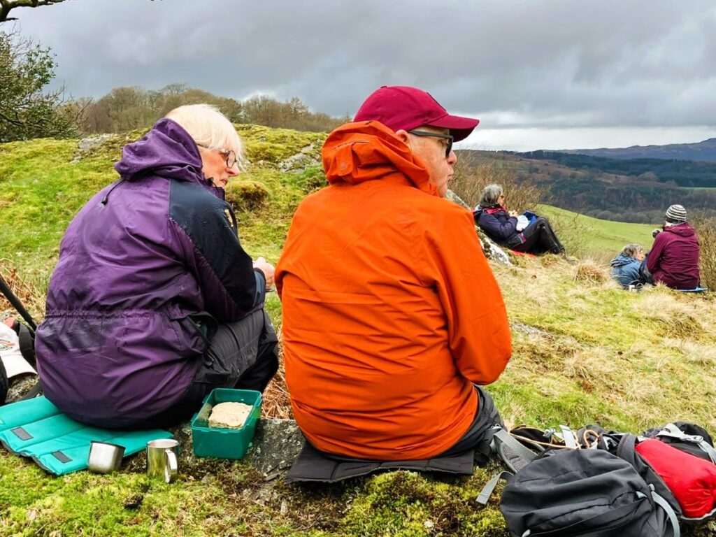
At the top, the track turns left and soon reaches Podnet Tarn, a lovely spot for break. Podnet Tarn was known to contain a sizeable population of medicinal leeches – so paddling is not recommended.
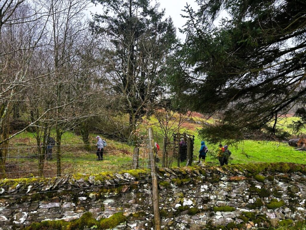
We head past the tarn along the road until there is a deer gate on the left – which takes us into the wood. From here navigation requires some care – almost immediately we take the slightly indistinct path going right, parallel with the deer fence.
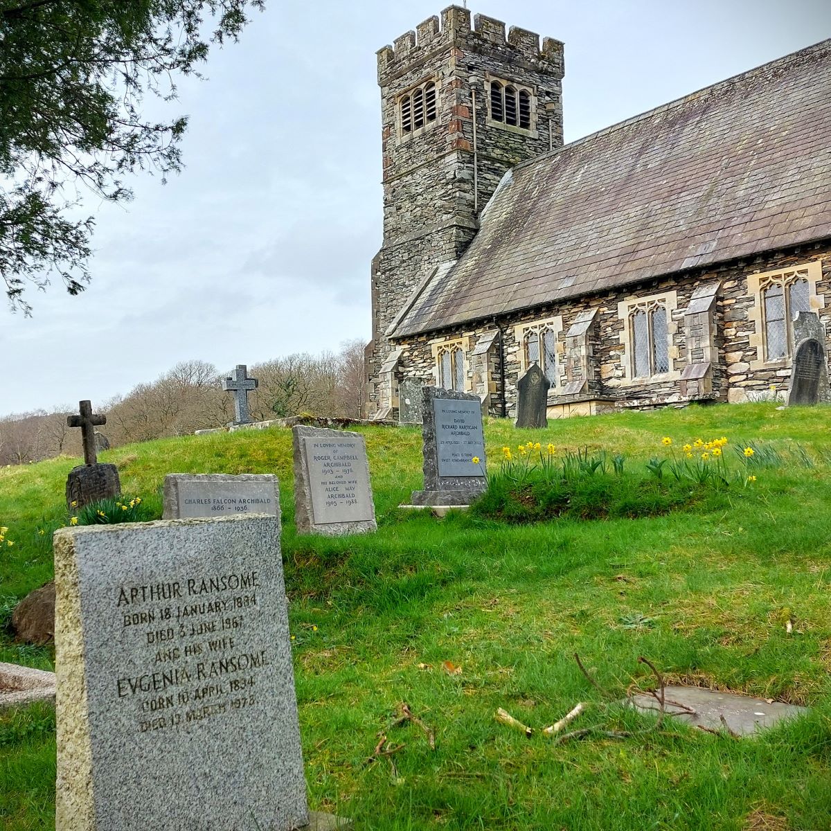
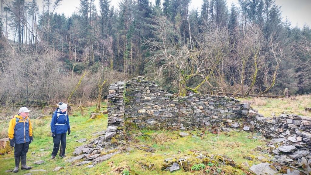
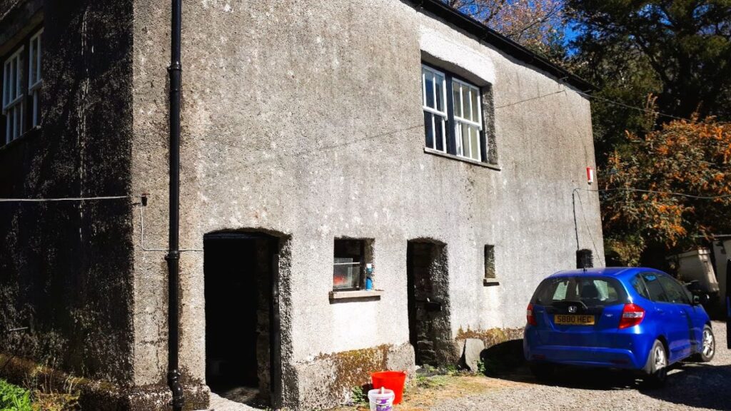
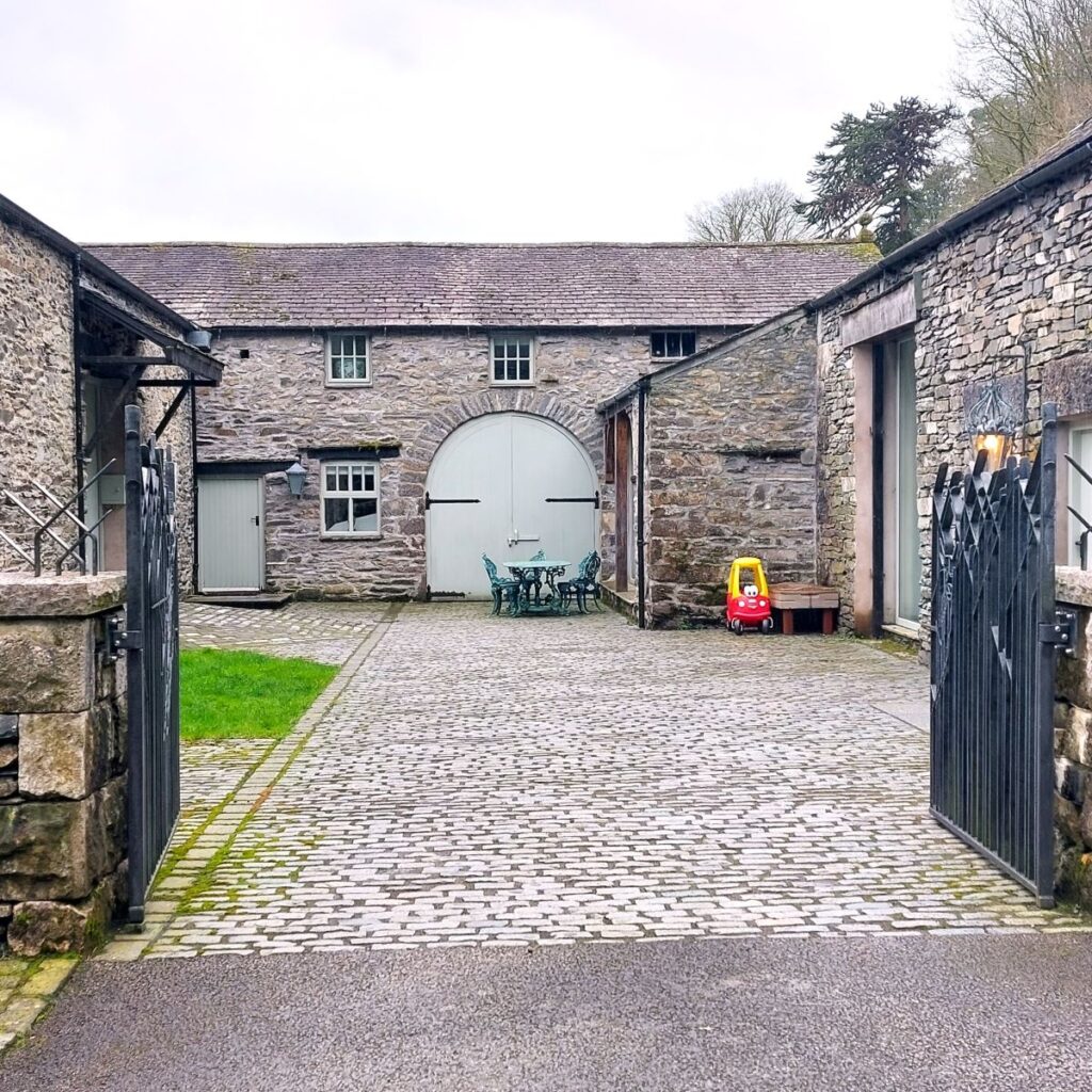
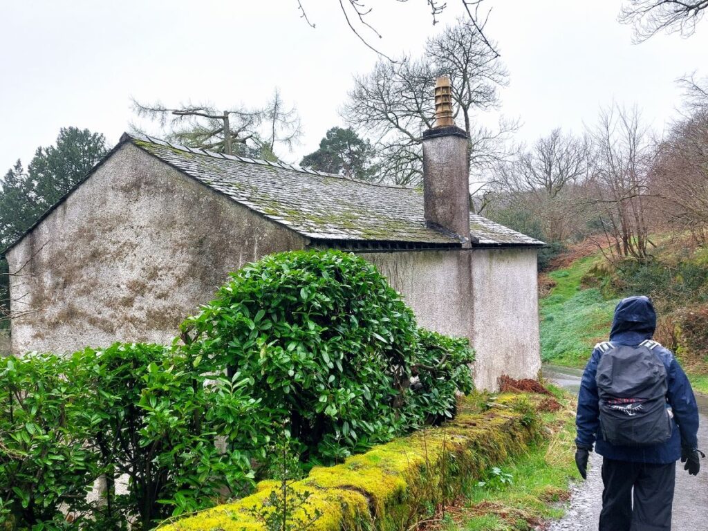
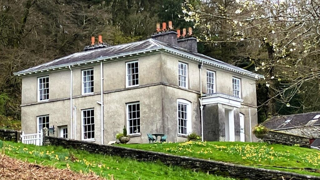
The wood is exited via another deer fence, before we continue over paths with wooden boards in places through Great Ludderburn Moss Nature Reserve. On reaching the road we turn right and take the first left. This road takes us downhill and past the home of Arthur Ransome from 1925 to 1935 where he wrote amongst others “Swallows and Amazons”. The barn (pictured here) contains his typewriter and other effects.
It is worth noting that Arthur Ransome has a very unassuming gravestone in a quiet corner of St Paul’s Church, Rusland near Newby Bridge–a 10 mile drive away on the opposite side of Windermere from this route – it is well worth a visit.
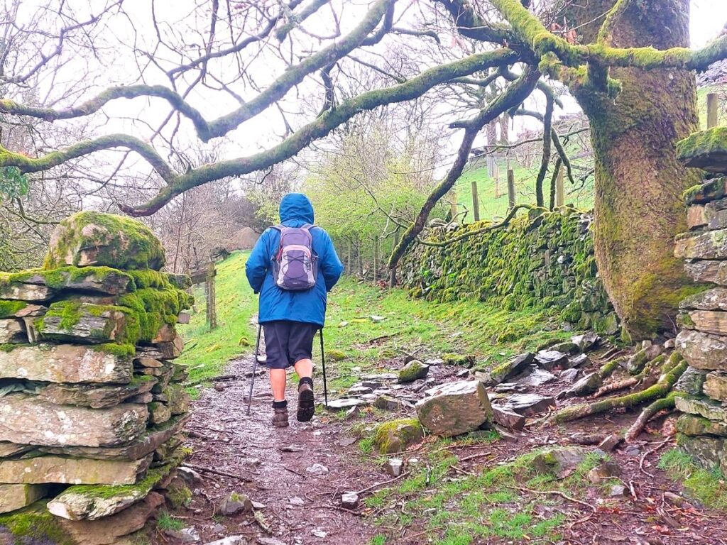
At the bottom of the road at a hairpin bend, we take the footpath to the right along a track, before we turn right to head towards a stile. We are now walking uphill again, taking the “alternative path” below High Moor How to a kissing gate.
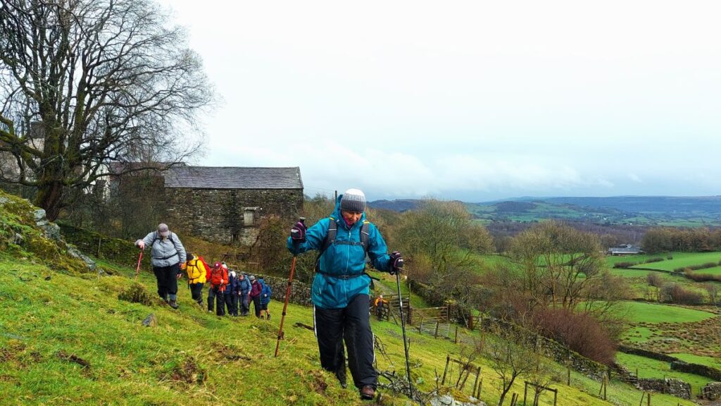
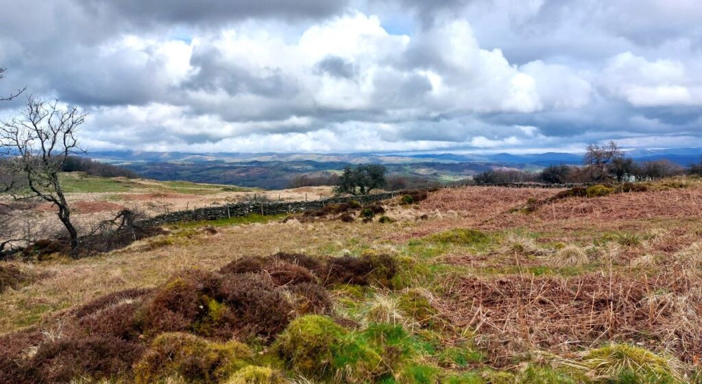
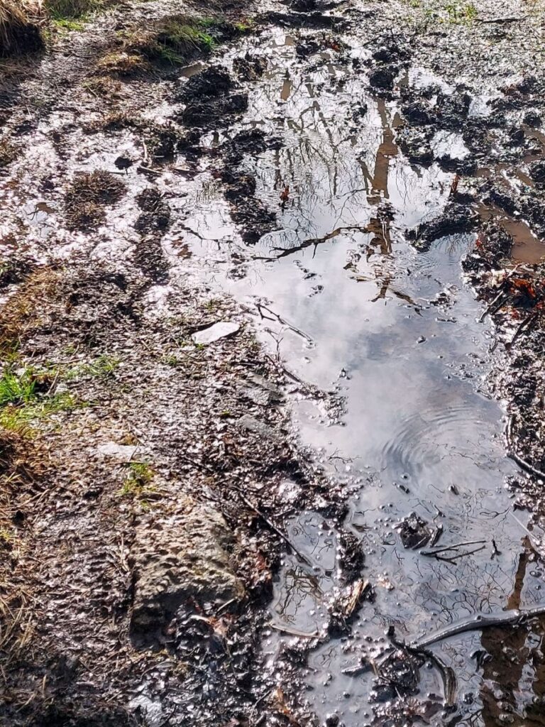
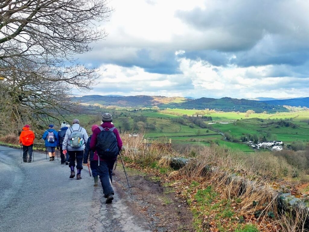
We continue steeply uphill through a gate, keeping to the lower path then over a stile and follow the wall aiming for a gate in the distance. After all the rain this was quite challenging and care was needed, but the views were stunning.
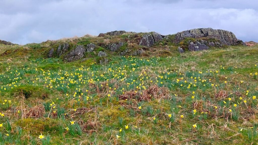
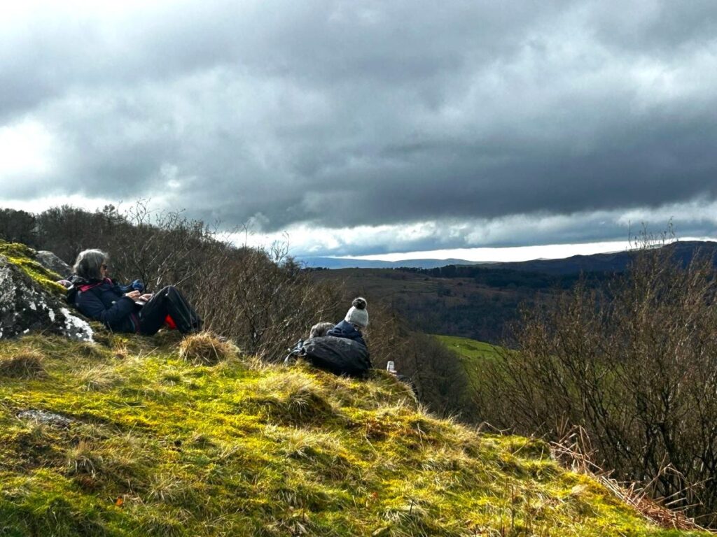
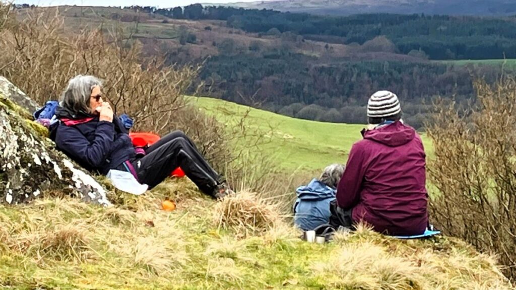
After the gate, daffodils surround us and, with views down to Windermere, this is a lovely place to take a break.
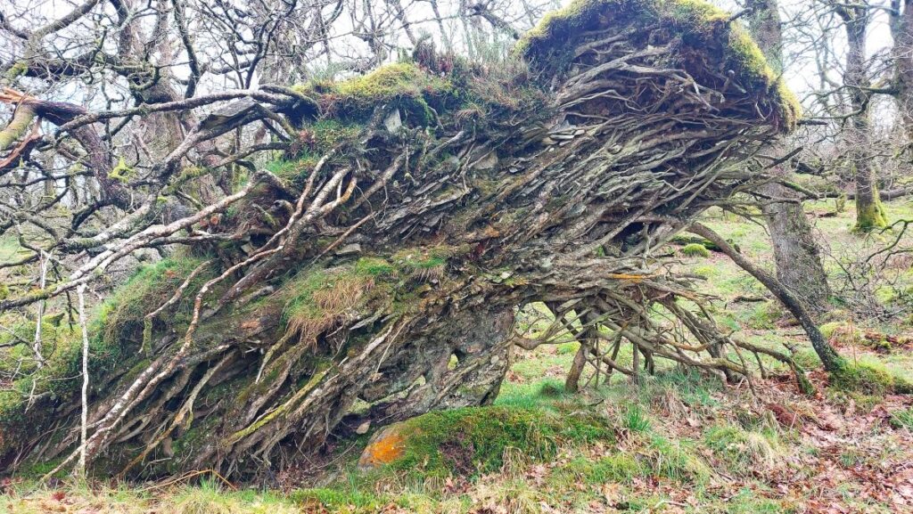
After our break, we continue along the track and leave the daffodils behind and go into woods – This is Blake Home Plantation. The track can be a bit boggy in places, and on our walk it certainly was, and additional care is needed as there are many uprooted trees alongside the track.
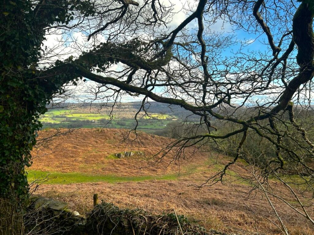
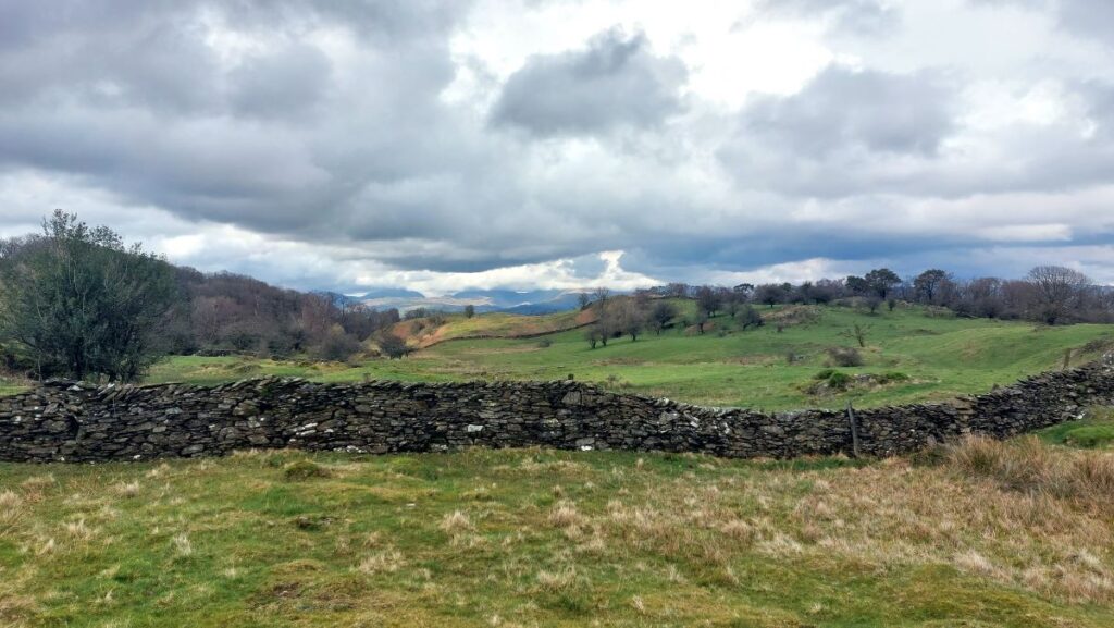
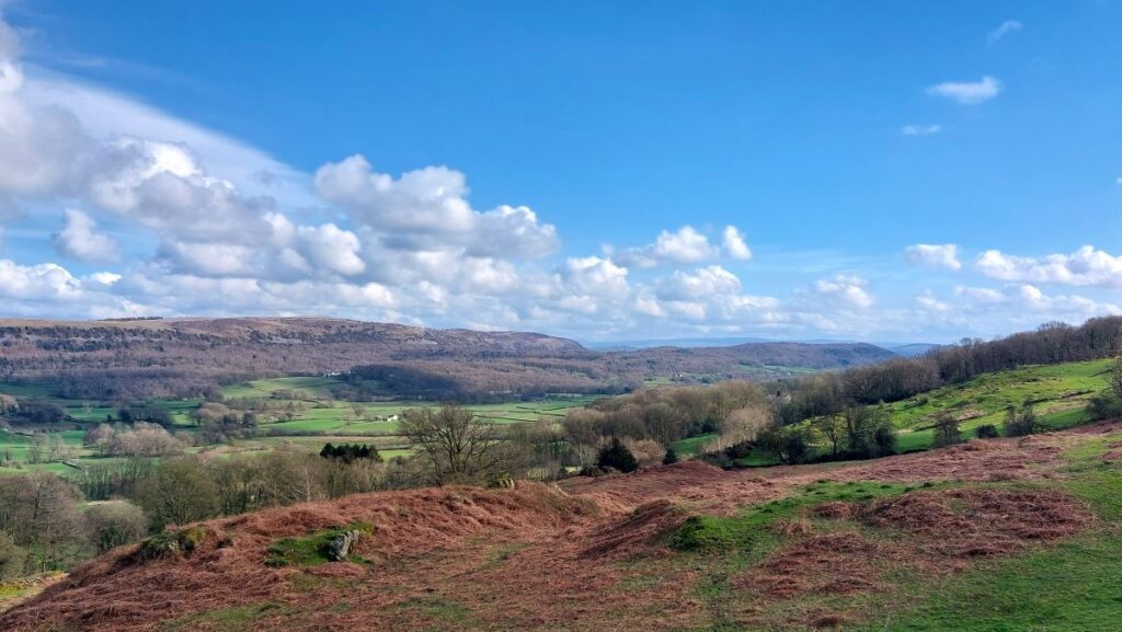
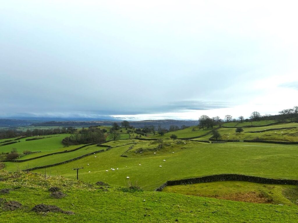
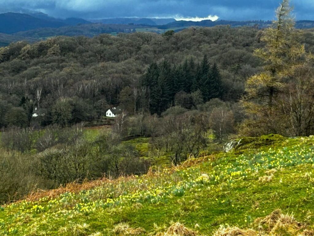
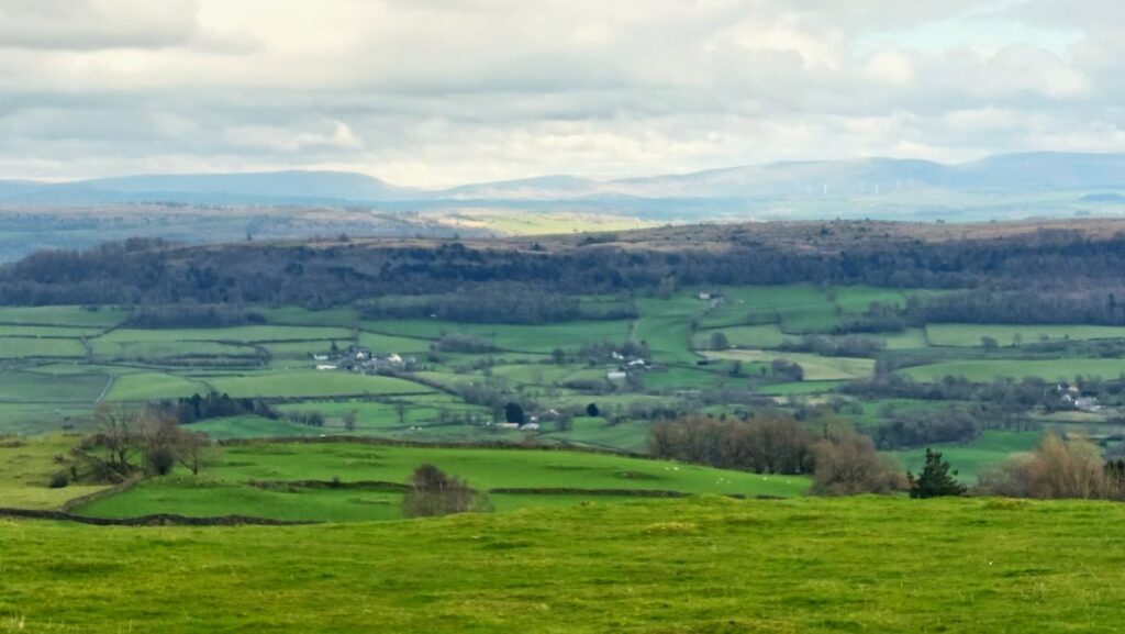
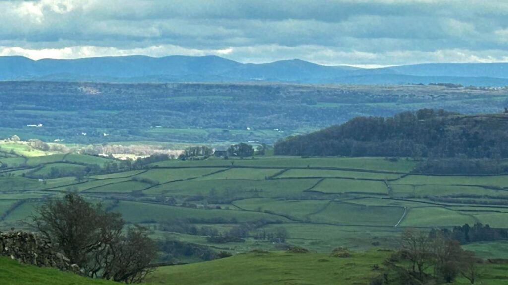
We soon notice a small path coming in from the right, and we need to keep left for another uphill section. Eventually panoramic views of the eastern and northern hills open up on the left.
Soon after crossing a board walk, the ruined building of Birch Fell Cottage appears, and we turn sharp left up to a stone stile in the wall.
Heading left towards rocks, we follow the wall downhill. Once again there are lovely views as far as Morecambe Bay.
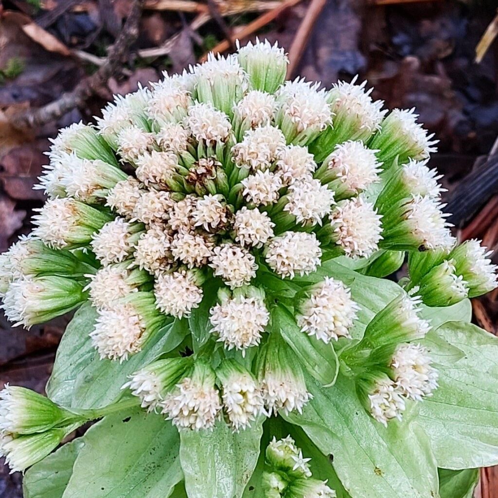
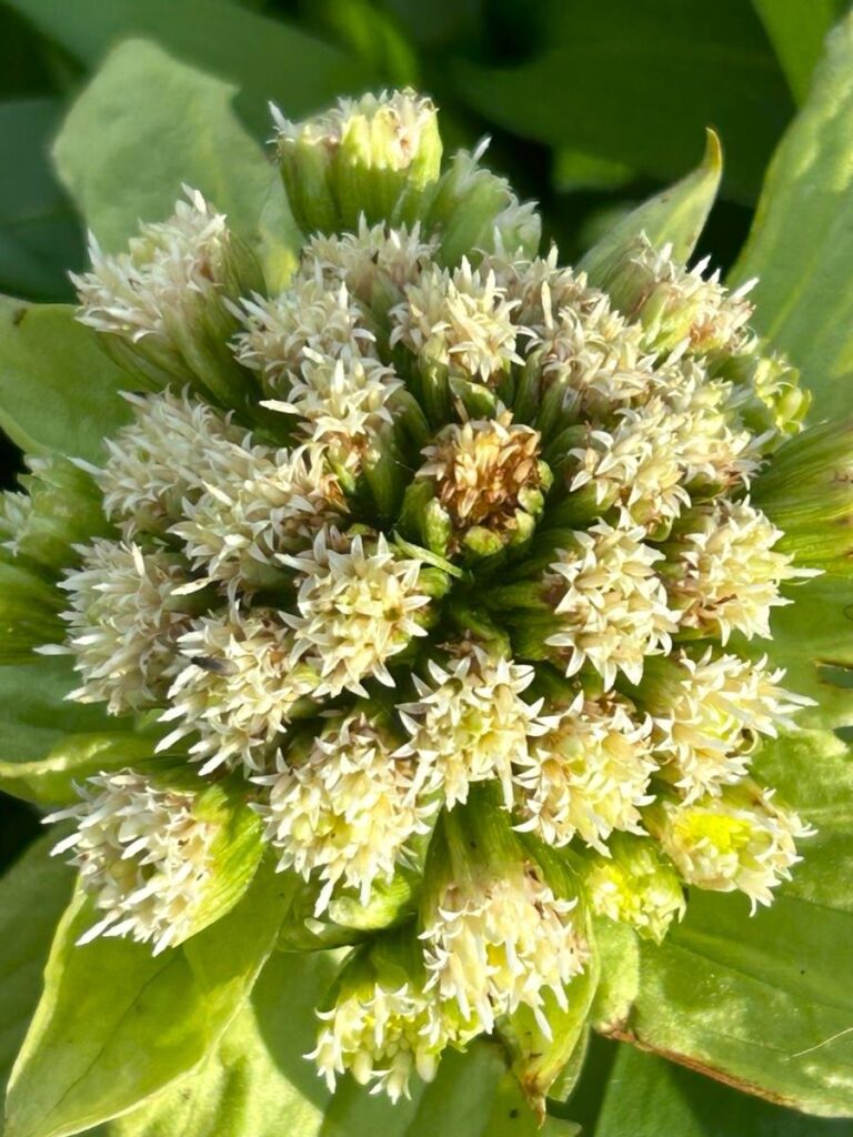
From here, our starting point can be seen in the distance. Part way down the hill we take the obvious route aiming for the gate to the right near the buildings at Lightfoot. Once through the gate we follow the road all the way back to the cars, passing unusual “White Butterbur” flowers in the verge; although attractive, this is regrettably an invasive species.
Taking care on the sharp bends we pass the Masons Arms. Bowland Bridge is soon reached and a sunny end to our walk.
To see a couple of short videos of the views on the day of this walk, click here or here