Bracewell from Gisburn
7.2 miles | 11.6 km | 212m Ascent | 8.2 Naismith miles | Alison Kinder & Colin Stroud
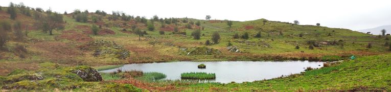
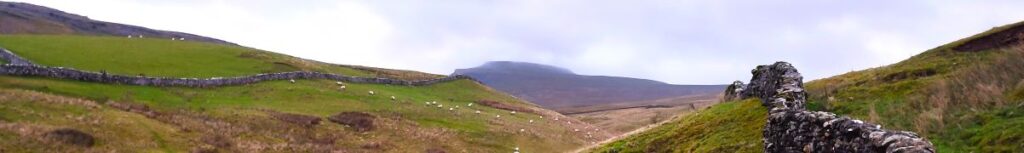
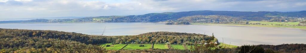
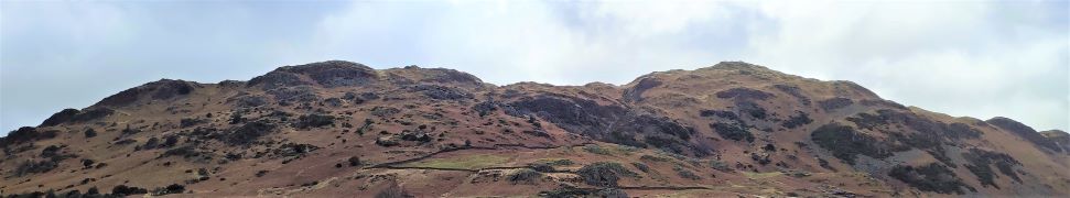
Bentham Footpath Group is lucky enough to have good access to the Yorkshire Dales, The South Lakes and the Forest of Bowland, and it’s to the latter that we head for this walk.
It might be tempting to assume that a walk in the forest would involve a lot of time spent amongst the trees. Not necessarily so, as the name Forest of Bowland, was first applied when medieval Royal hunting forests were established – the title ‘forest’ refers here to hunting rights, and not to a large expanse of woodland, as we would interpret it today.
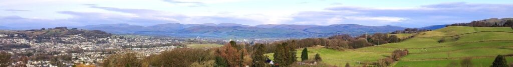
From the attractive village of Gisburn, we loop out round Gisburne Park, before following Stock Beck upstream to Horton, and then Bracewell. We have a quick look at the lovely church of St Michaels, then head west across farmland to Sullside Hill, before strolling back down into Gisburn, via another ancient church – St Mary the Virgin.
Bracewell from Gisburn Read More »