Jump to . . .Step by Step | OS Map | Downloads | Gallery | Fly through
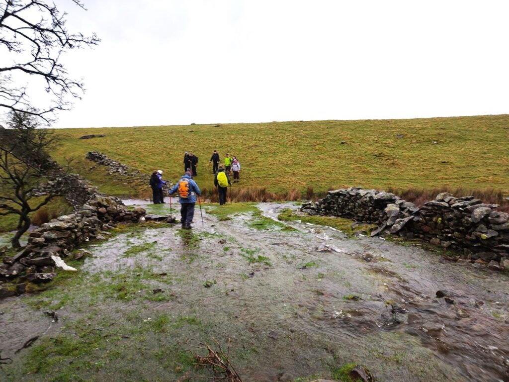
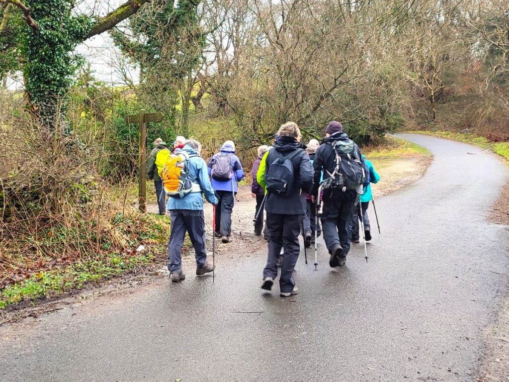
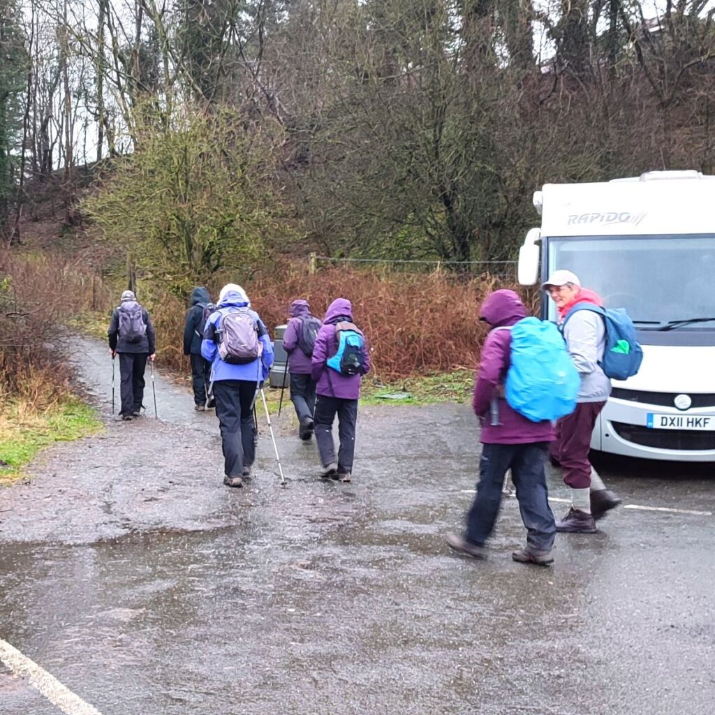
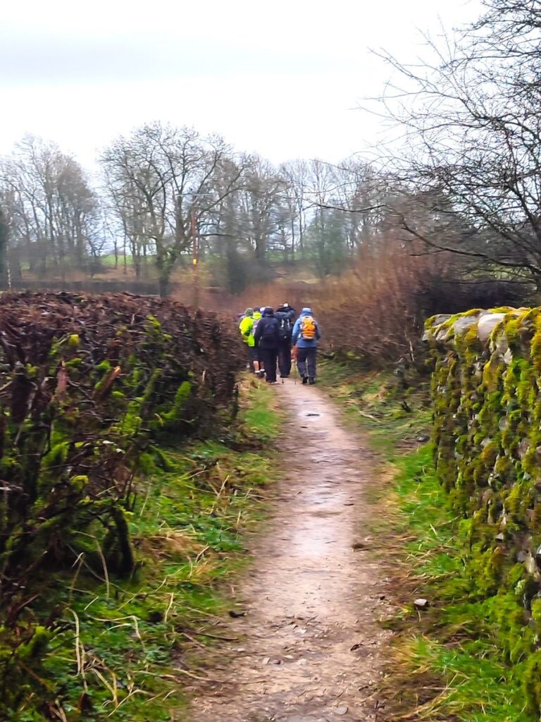
This is one of our shorter walks – partly because we revised part of the route on the day to avoid flooding, and partly because sometimes it’s just nice to offer an easier route that can be used to fill a Sunday afternoon or a spare couple of hours on a balmy summer evening.
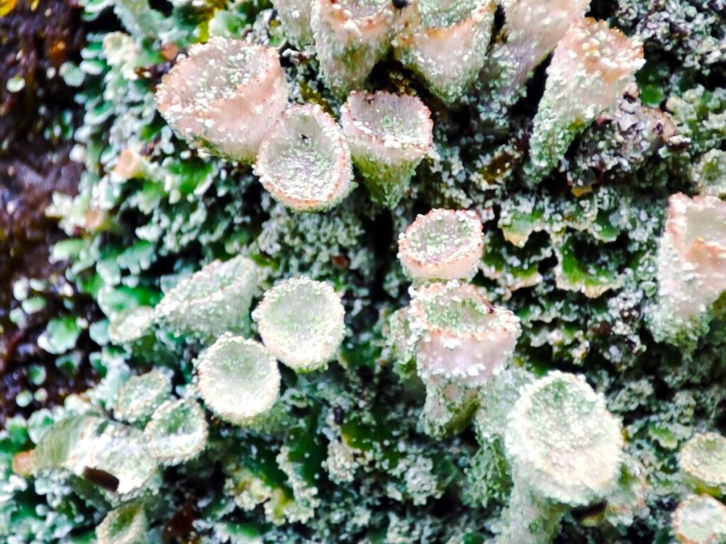
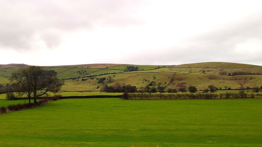
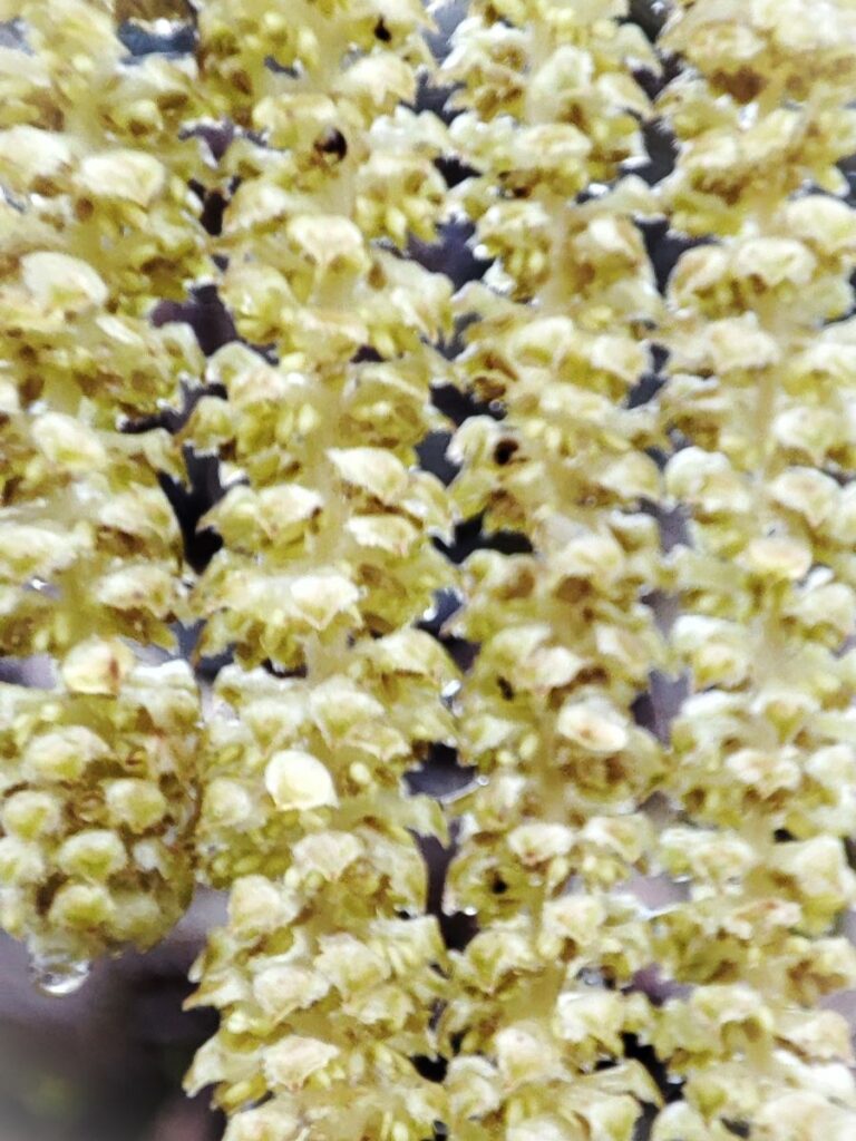
Despite being quite compact, this walk packs a lot in – we get to see the dismantled railway line that once linked Ingleton and Sedbergh, via Barbon, we walk on a Roman road, pass a number of Andy Goldsworthy art installations, catch a distant glimpse of a stone circle, visit the beautiful Holy Trinity Church in Casterton, walk on the access road to coal mines that can be traced back to the reign of Charles I, and all still have time left to get some shopping in Kirkby.
- Total distance 8.1 km (5.0 miles)
- Total ascent 164 m
- Easy walk
Step-by-Step
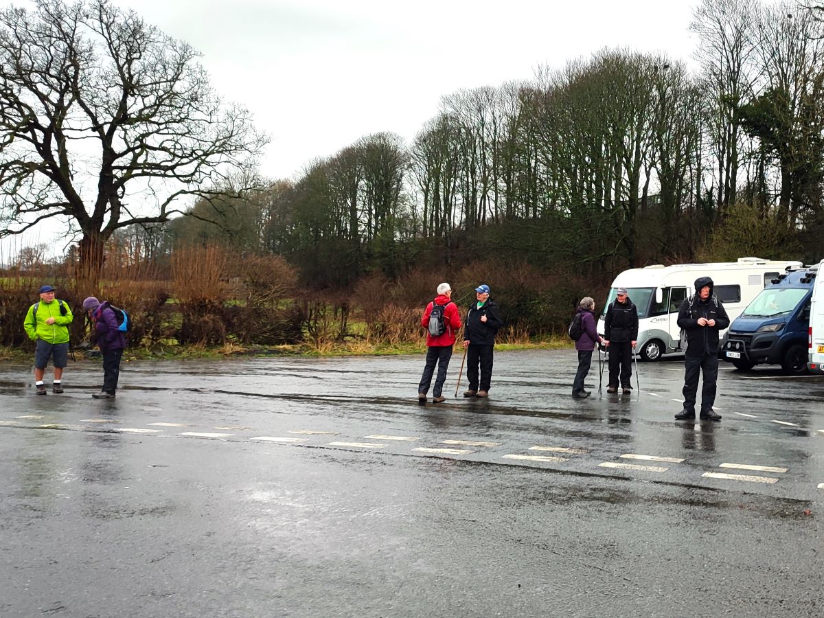
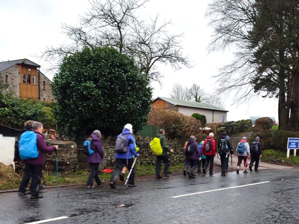
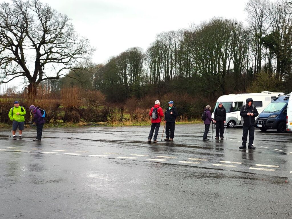
We start from Kirkby Lonsdale. The path we initially take is at the corner of the free car park to the east of the A683 opposite Devil’s Bridge, very close to the junction of the A65 and the A683. But you could just as easily park anywhere in Kirkby and stroll to the same starting point – with the added bonus of seeing more of this ever-popular town. The grid reference for the car park is SD61777821, whilst the what-3-words tag is bolt.huts.partner. If you are using Satnav to get to the start, then try Devil’s bridge Kirby Lonsdale, or Bentinck Drive as an address.
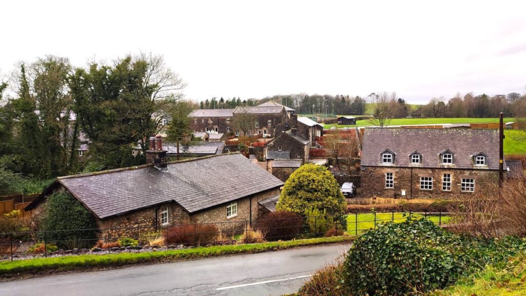
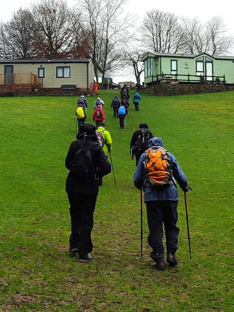
Once at the car park, we start off by finding the track that leaves the road where the access road through the parking area turn sharp right – the lane is in the left hand corner. We head up there for just a short distance until we see a stile on the left leading us into a caravan park. We take the path straight ahead aiming for a clear gap in the caravans, and then bear slightly to the right passing the reception area for the site, and as we walk past, it’s worth taking a moment to read some of the information boards which give descriptions of wildlife that can be seen in the area. We are now on the access road through the site, and we follow it round to the left before noting an exit on our right which takes us onto an enclosed track, called Laitha Lane, where we head left. Laitha Lane, historically also referred to as Latham, Latholme or Lathey lane derives from the old English for water meadow – so expect the surface to be wet. The route has always been an important link from Casterton to Kirkby, and in 2014 major improvements and resurfacing made the route much more accessible to all.
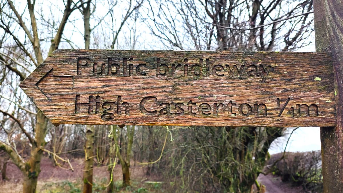
About 250m after joining Laitha Lane, it bears right and then 50m later comes to a junction. Laitha Lane continues to our left – and forms part of our return route, but for now, we head right following a public bridleway sign for High Casterton.
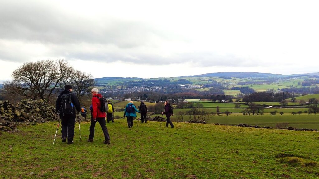
As we follow the bridle way round, we soon have the well-manicured grass of the golf course on our left, and the eagle eyed may spot a little used path joining us from the right – the other end of this connects to Laitha Lane close to where we joined it but given that the improved surface of the lane is now so good we recommend the easier option.
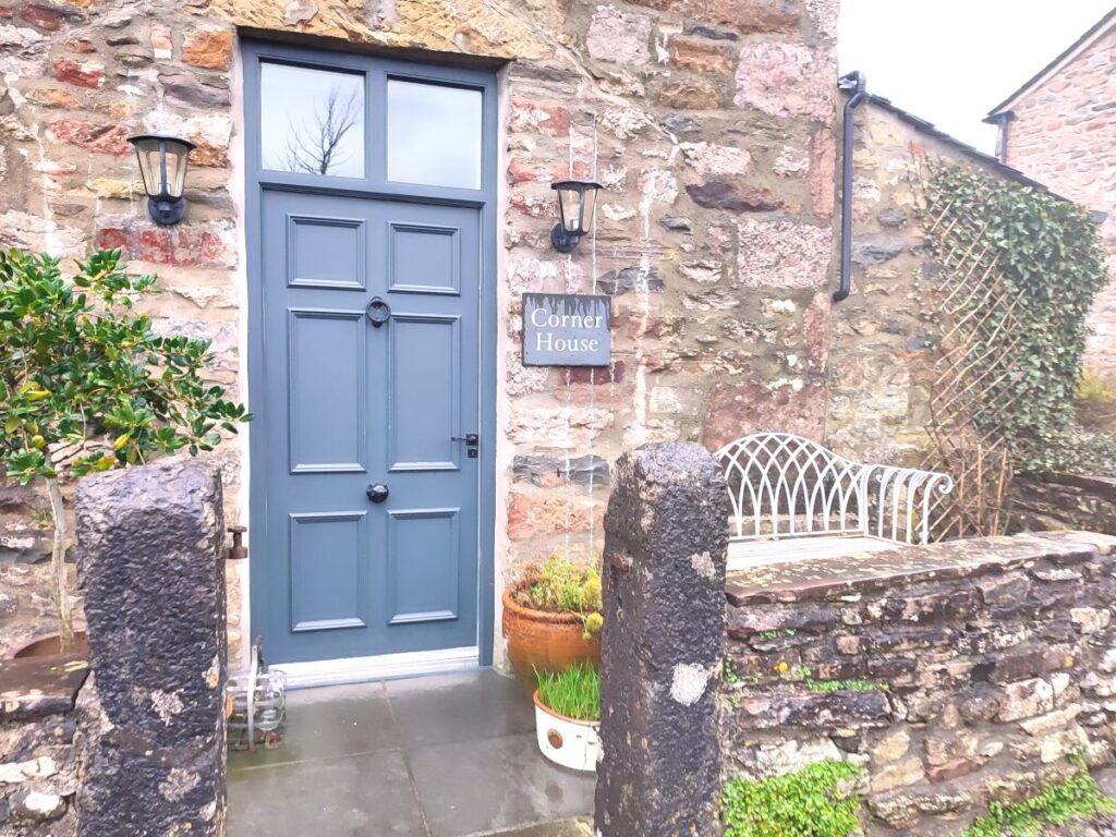
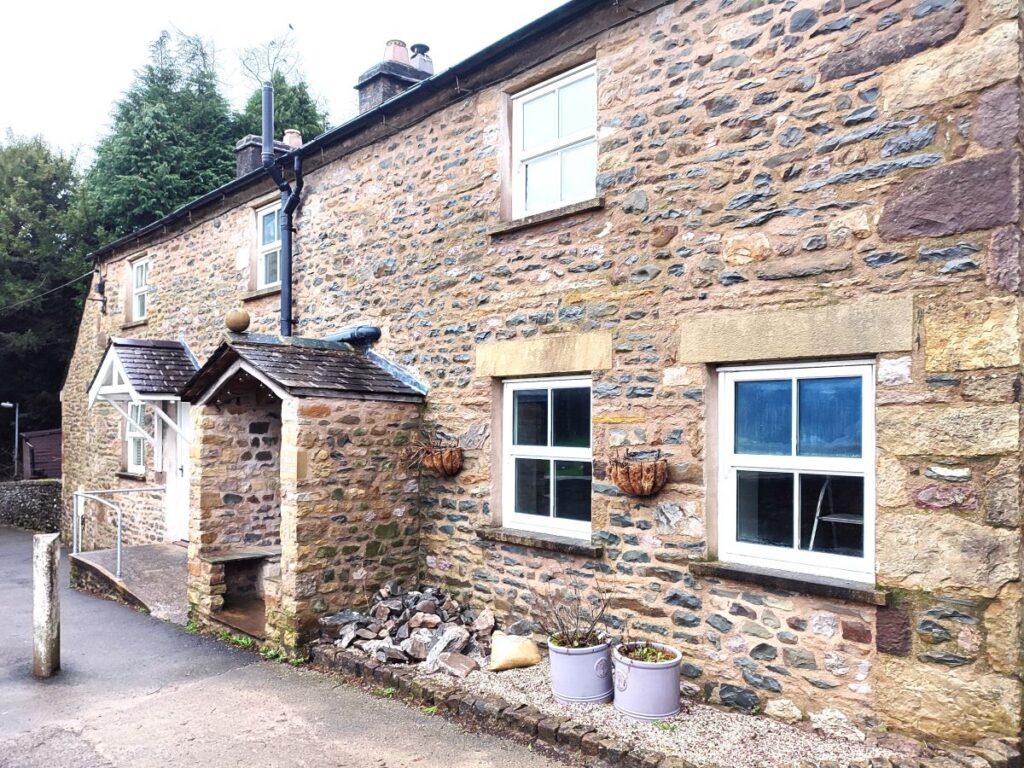
What had been a rough track soon becomes a decent metalled surface, and we follow the obvious route through large houses to the centre of High Casterton, where we meet a T Junction – next to the appropriately named Corner House.
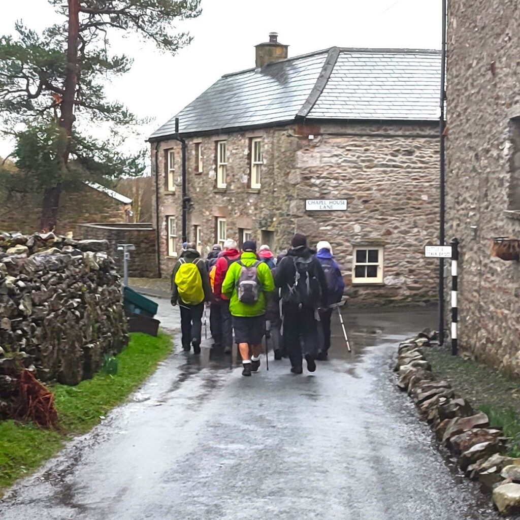
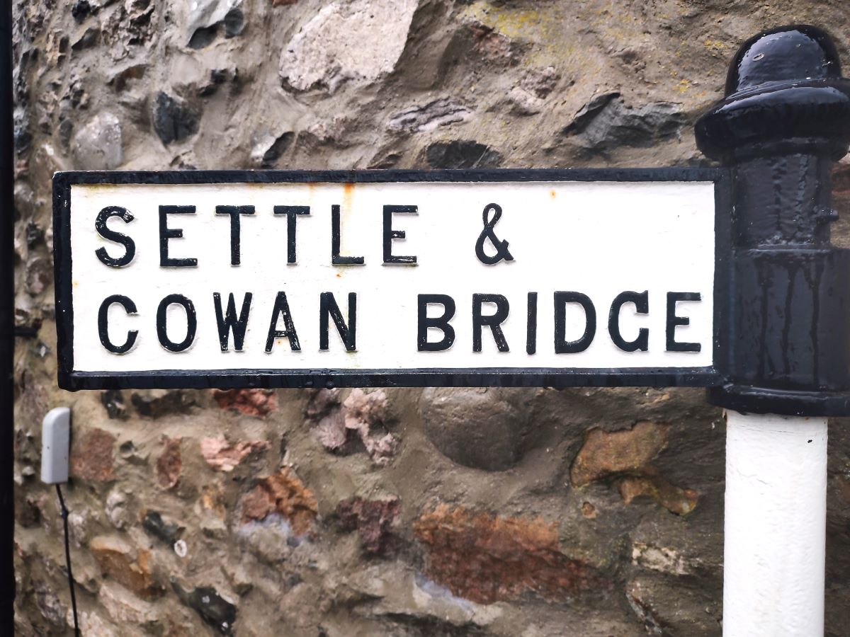
We now head right, and immediately see another junction. We ignore Chapelhouse Lane (on the right) – this goes back to the A65 – and follow the traditional cast iron signage for Settle and Cowan Bridge.
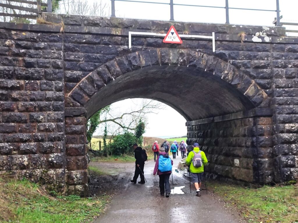
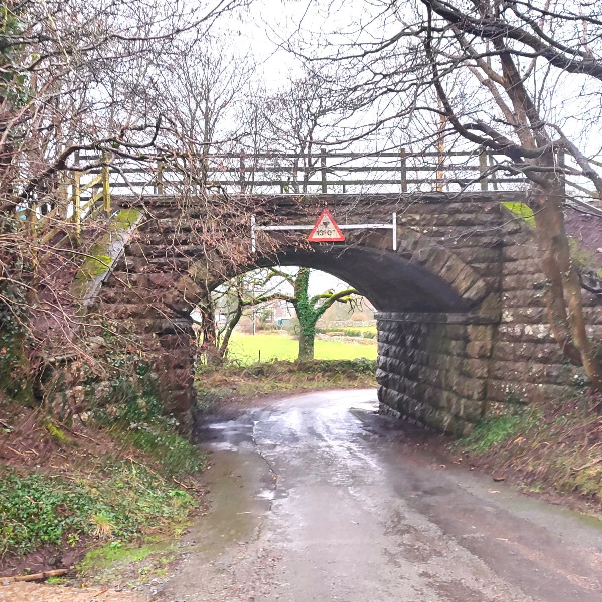
We follow the road round to the left, and then have a good view of a railway bridge that once carried the railway over the road. The railway in question was of course the Ingleton Branch of the North Western Railway.
The line opened in 1860, and ran from Clapham, through Ingleton, Kirkby Lonsdale, Barbon, Middleton-on-Lune, Sedbergh and Lowgill, before joining what is now the West Coast main line, just south of Tebay. Passenger services ceased on 30th January 1954 – so prior to the “Beeching cuts” – and the line finally closed in 1967. There are signs of the route visible in many places up and down the Lune Valley, including the listed viaducts at Lowgill, Waterside (Sedbergh) and Ingleton. It seems a great pity that the route was not repurposed as a path when closure occurred, as this line is crossed on a number of Bentham Footpath Group walks and could offer great links between them.
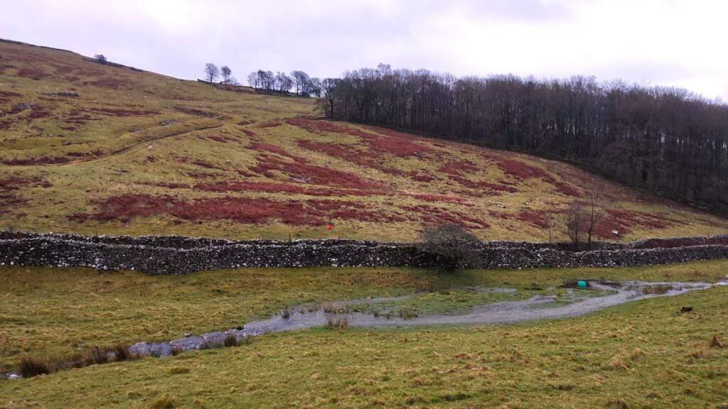
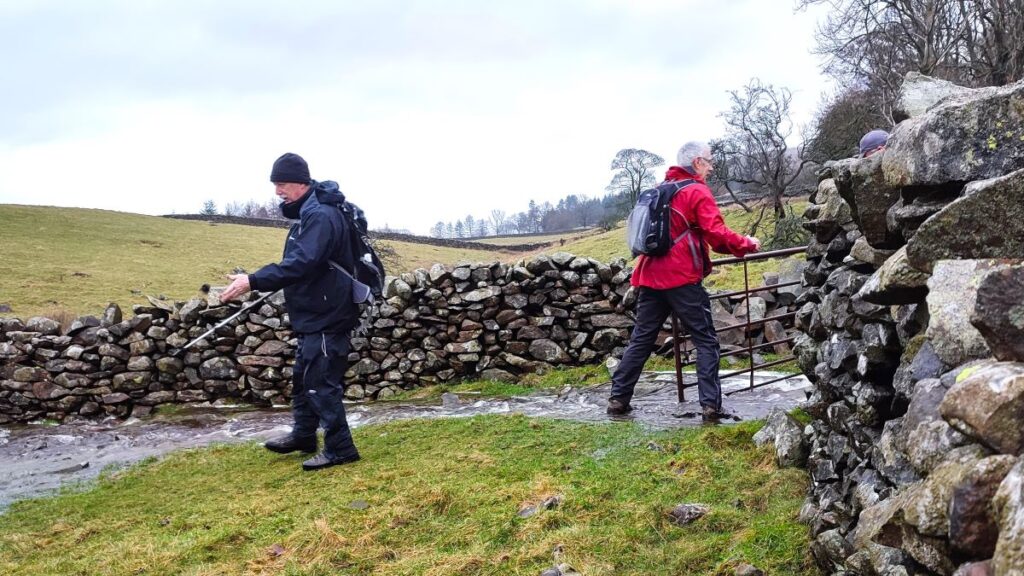
Just beyond the railway bridge, there is a lane on the right which passes some stables – there is footpath along here which heads to Bindloss Farm – and then Fellfoot Lane; that had been an intended part of the day’s route, but as you can see from the pictures in the gallery, local flooding made this an unwise route. However, if you are walking in better weather than we were and wish to extend the walk a little, this is an option.
So, beyond the bridge, we continue with the road and climb up to a junction where we meet another minor road known as Wandales Lane, to head left. We immediately note that Wandales Lane is arrow straight and are not surprised to note that the OS map identifies this as a Roman Road – in fact it can be traced south toward Low Bentham. The exact route south of the Greta is uncertain, although its onward route from Low Gill toward Slaidburn and Dunsop Bridge is clearer, and features in other walks the group have undertaken.
To find out more about the routes of Roman roads in our area, this website is worth a look, and for more detail about the Romans in Casterton, the Casterton Village website is a great resource – click here
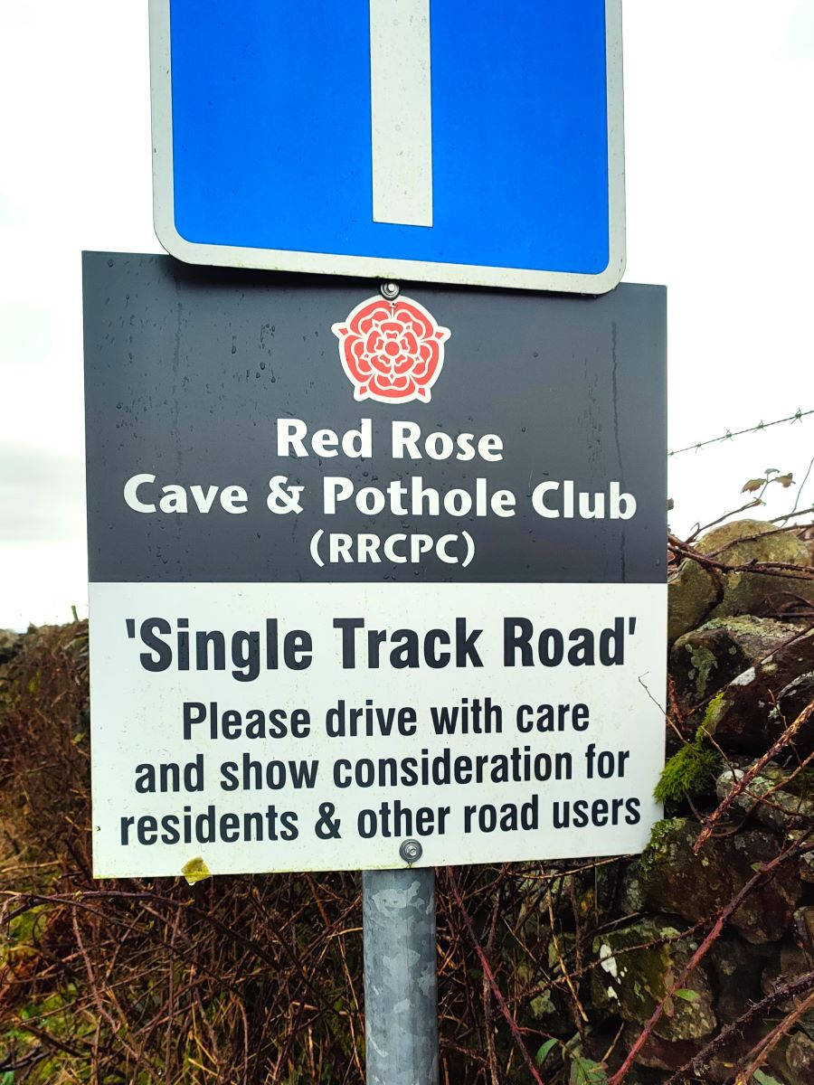
Like ancient legionaries, we march north toward Barbon, and then after just 300m of Sin Dex, we arrive at a crossroads where we turn sharp right to head toward the fells. We are now on the single track road that leads to Bull Pot farm where Red Rose Cave and Pothole Club have a bunkhouse – check our walk at Barbon and Brownthwaite for more detail of that.
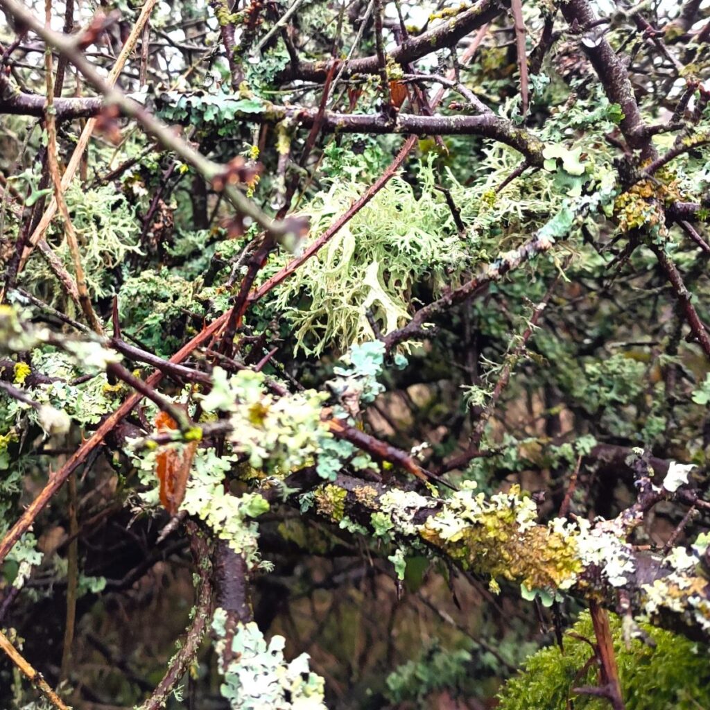
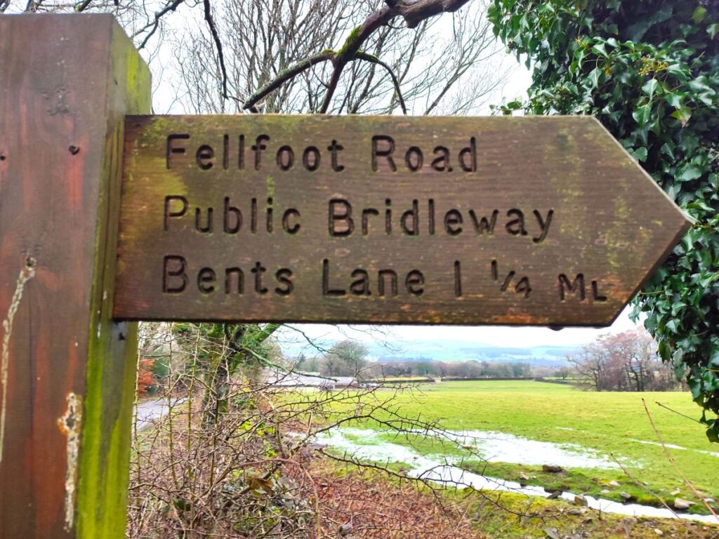
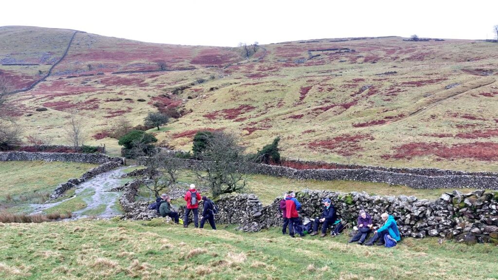
300m up the lane, we meet another crossroads where the rough track referred to as Fellfoot Lane crosses the metalled road approach on. The lane to the right is where you would arrive if you took the Bindloss farm option, and we now head left along Fellfoot Lane where we immediately meet the first of four Andy Goldsworthy installations collectively referred to as the Drove Folds.
There are sixteen folds in the full installation, but not all are on the relatively short stretch of the Fellfoot road that we use. For more detail about the works, click here and for a broader view of Goldsworthy’s work click here
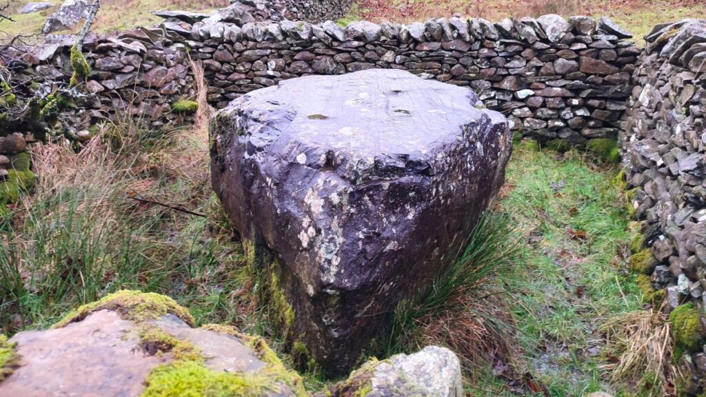
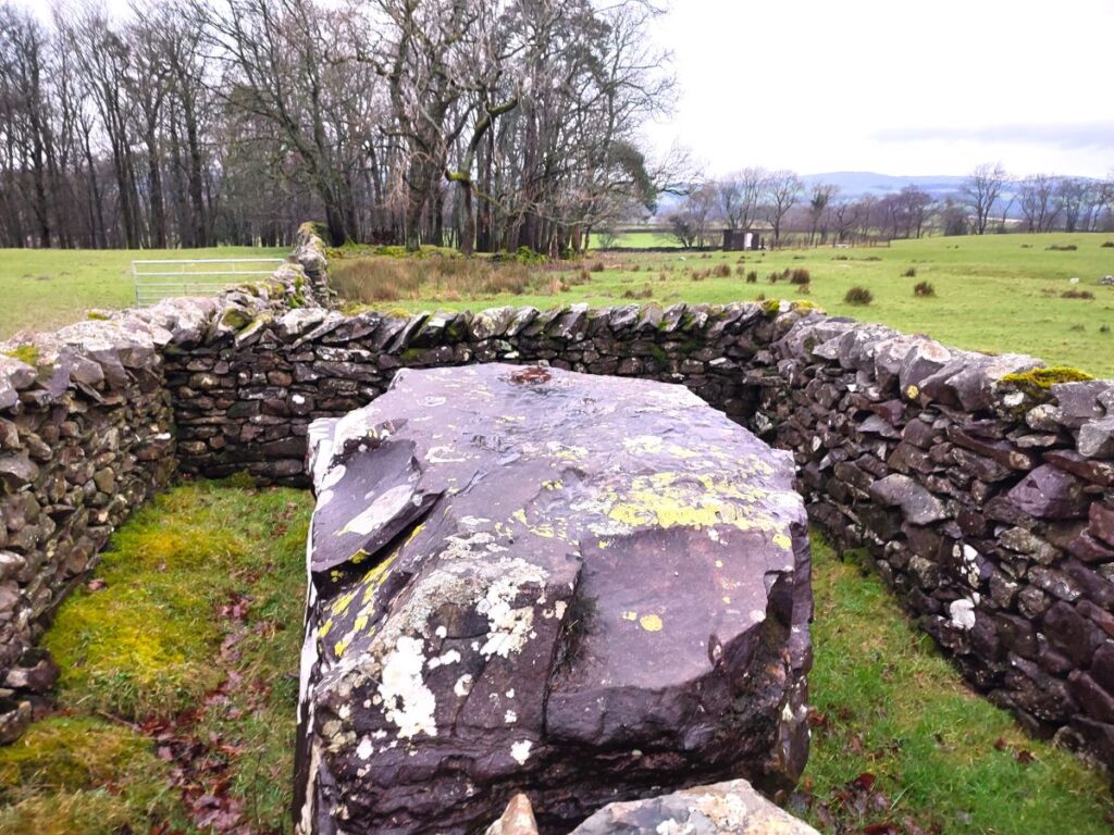
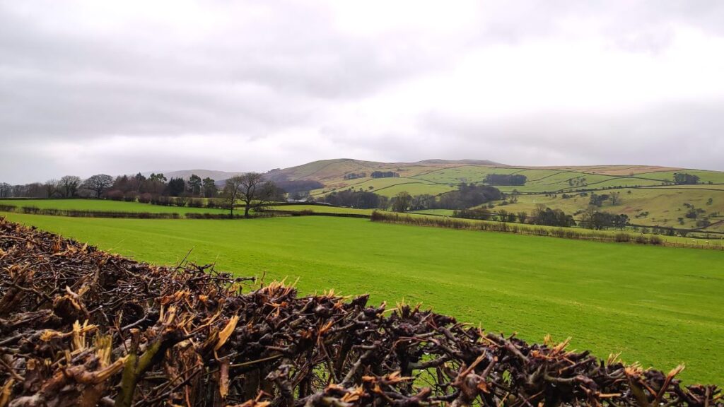
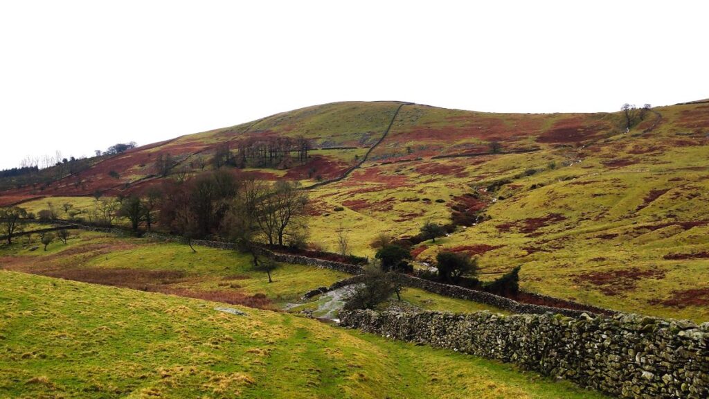
It is worth looking to the right as we progress down Fellfoot Lane – over on the fellside is a stone circle, which depending on weather conditions may be visible – in fact seeing it from here or the paths higher up the fell are your only option, as sadly there is not permitted right of way to the circle.
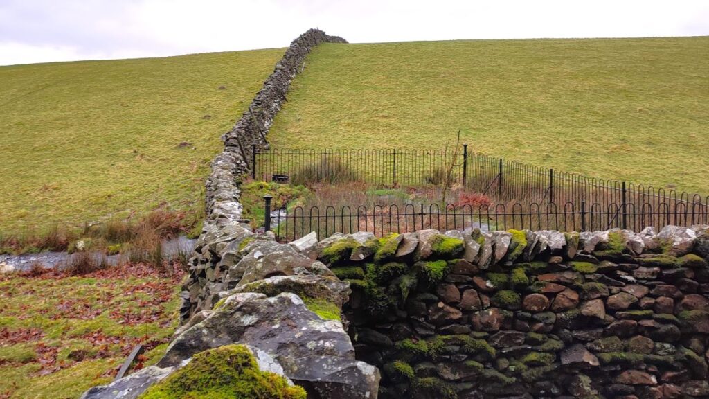
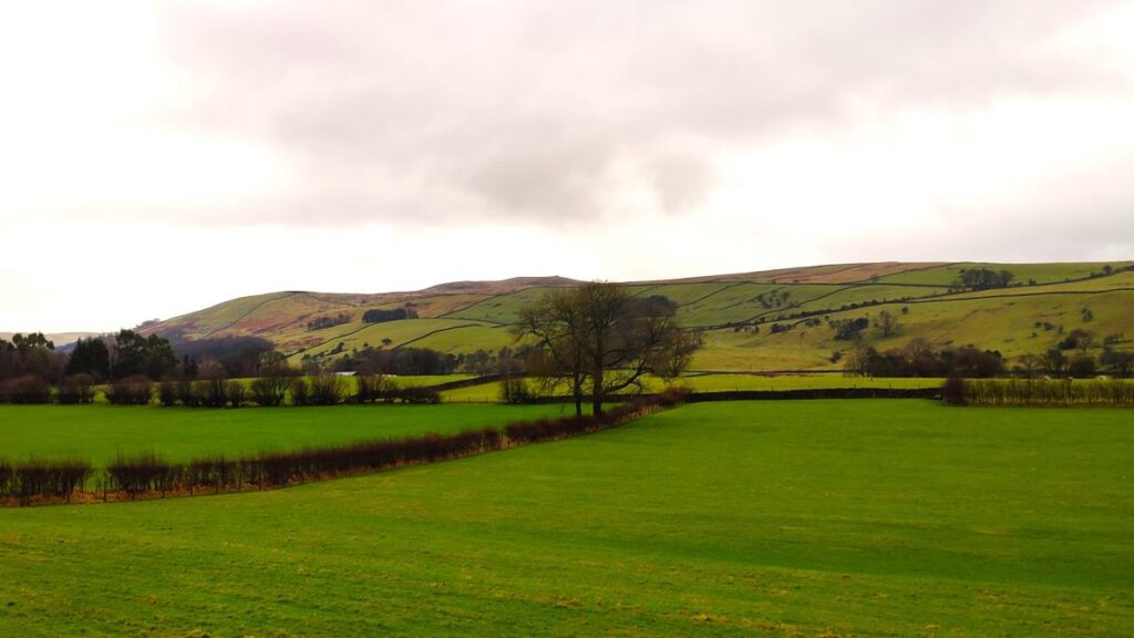
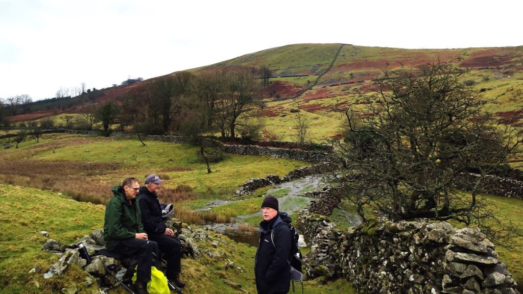
We stay with Fellfoot Lane for about 600m and then look for a waymarked path on the left which takes us down to Langthwaite – this is just a little further than the springs within wrought iron Victorian railings that make good landmark on our left – (visible in the picture above).
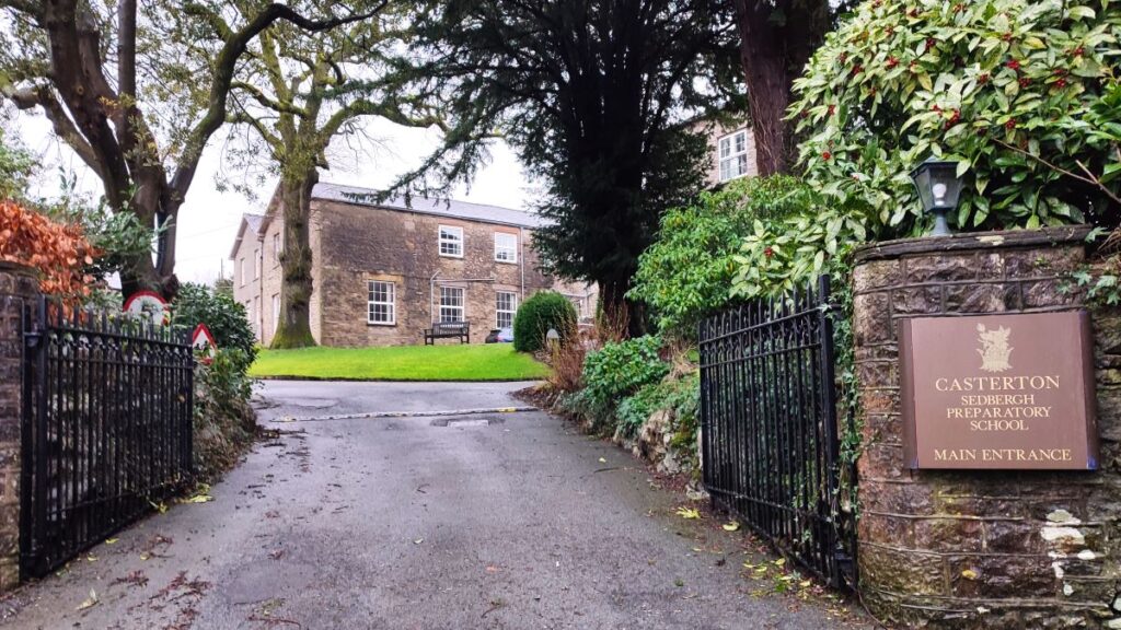
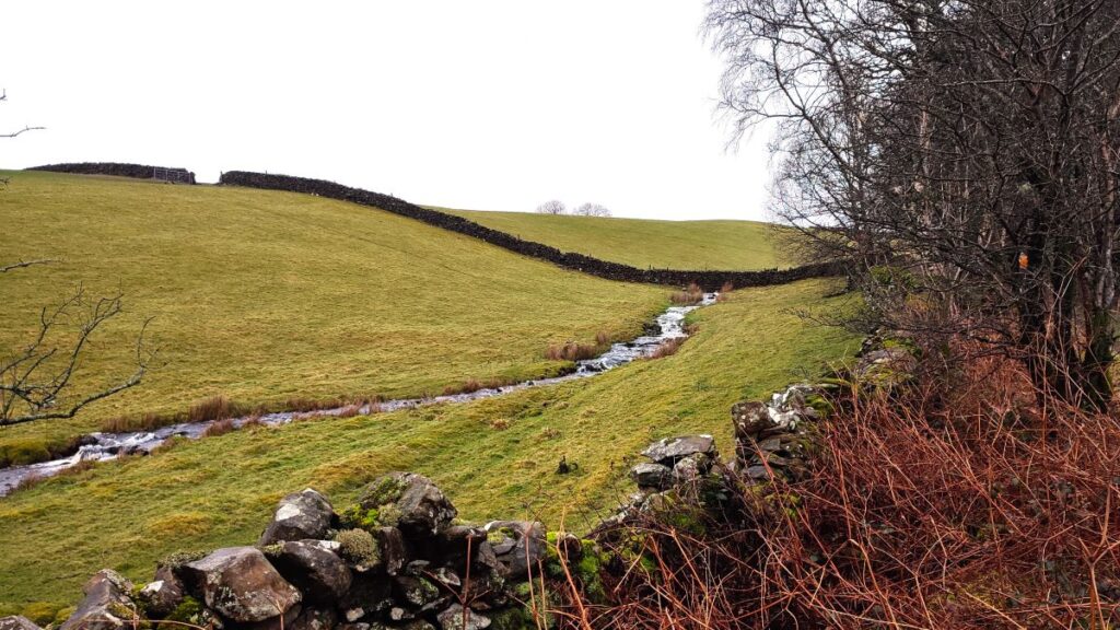
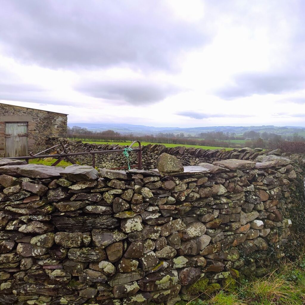
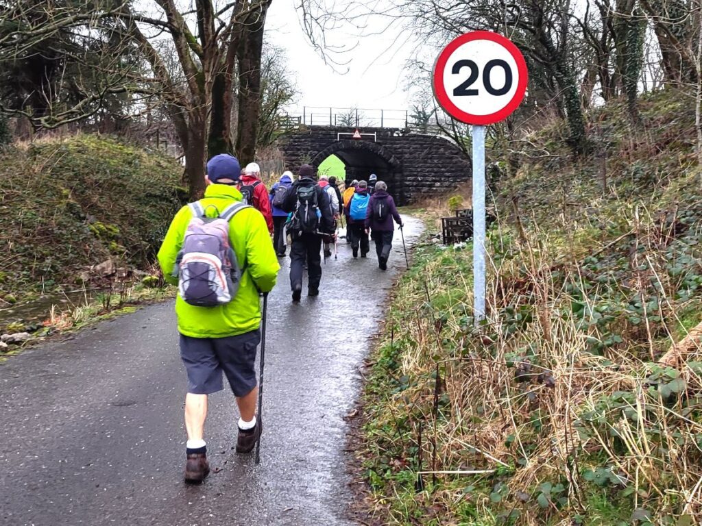
Our path now stays to the right of the drystone wall, rising a little at first then heading steeply downhill to a farm at Langthwaite, and then continues via a good quality single track road back to Wandales Lane (the Roman road). Once we arrive at Wandales Lane we cross and head directly to a railway bridge – very similar to the one earlier in the walk, where the road continues into Casterton, passing Casterton School.
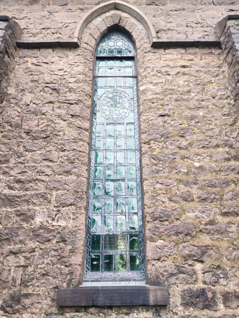
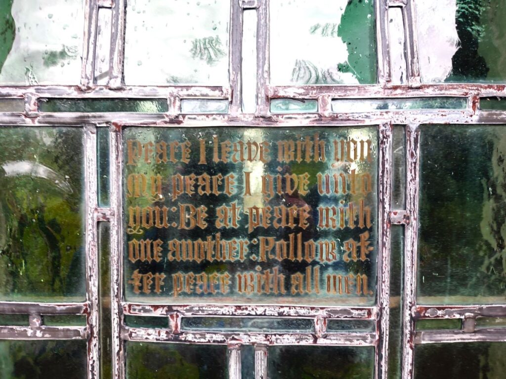
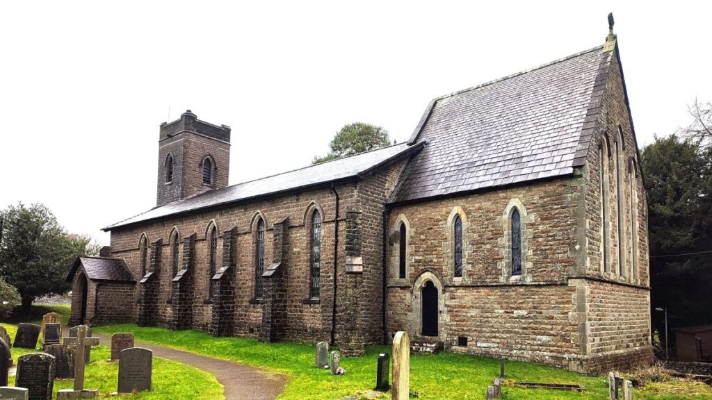
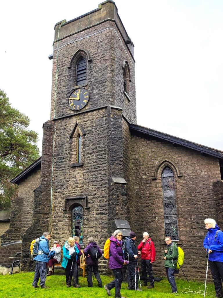
The Original Casterton School was founded in 1823 by Reverend William Carus Wilson as the Clergy Daughters’ School in Cowan Bridge to educate daughters of financially disadvantaged clergymen. It moved to its site at Casterton in 1833. Four of the Brontë sisters (Maria, Elizabeth, Charlotte and Emily) attended the former Cowan Bridge School. A stone inscription to commemorate this is present at the original site and the current school at Casterton still acknowledges the literary connection by naming buildings accordingly. Also worth noting is the Holy Trinity church – built between 1831 and 1833 also by the clearly industrious Reverend Wilson.
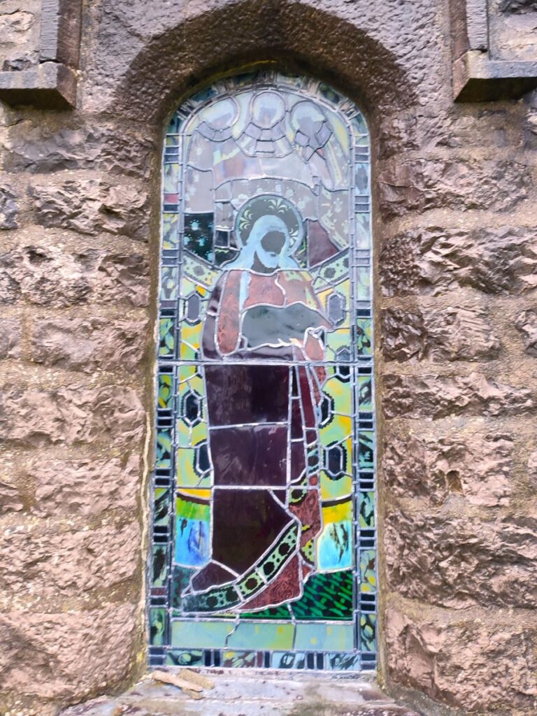
The current church boasts stained glass windows and wall paintings of remarkable quality – and although rather macabre, the graveyard is also interesting:
During the 19th century, control of infectious diseases was minimal, and in institutions like the school, infections could spread rapidly, with deadly results. It was considered important to immediately bury the bodies of those that died in this way so there is an isolated section of the graveyard to the north side of the churchyard which holds seventeen or so graves of teenage girls, often from distant parts of the country who were lost when typhus, scarlet or other infectious diseases broke out. Some of the graves are shared by two or even three unrelated girls – indicating the close proximity of the deaths and the urgency with which they needed to be interred. Again, the Casterton Village website has some great resources on this.

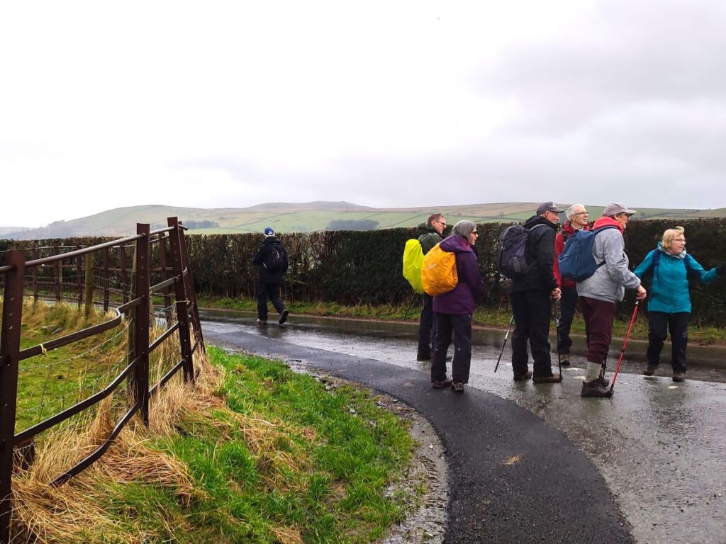
From the church, we head south along a quiet lane that runs parallel to the busy A683 and follow the road south until we get to a crossroads at Colliers Lane. Clearly this name indicates that coal was dug at some time, and according to the Lancaster Archaeological and Historic society, mining took place from the reign of Charles I through to closure in 1850. For those seeking the detail, their website is worth a look.
At the bottom of colliers Road, we meet the A683, and turn left, walking on the road for a mere 20m until we leave on the left as if to enter the golf course, but as we turn in, we see Laitha Lane on our right and follow this back toward Kirkby.
As we progress down Laitha Lane, we soon arrive at the point where we exited the caravan park in the outbound journey, and we could of course take this route back to the start. On the day of our walk we were aware of how slippery the bank down the caravan park to the stile had been and so opted for a safer route: We continued along Laitha Lane for a further 100m and then at a cross roads turned right – this is the lane that exits the car park, where the walk ends.