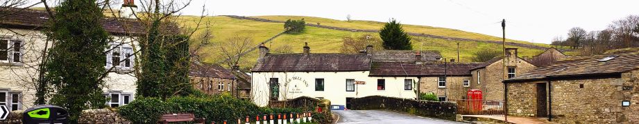
Yorkshire Dales Walking

Wyresdale, Scorton

6.2miles | 10.0 km | 100m Ascent | 6.7 Naismith miles | Mary & Kate Taylor
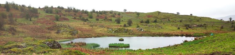
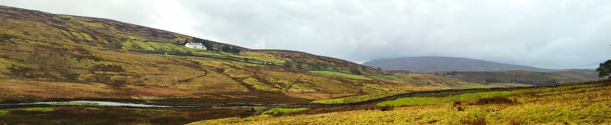
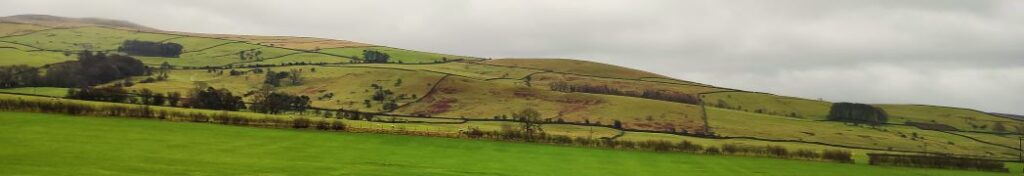
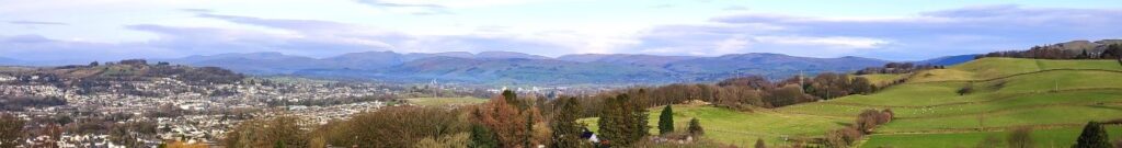
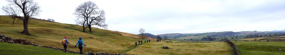
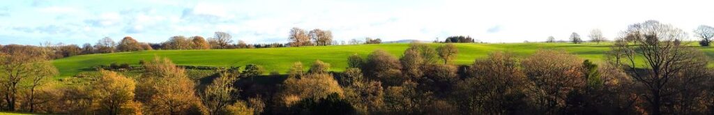
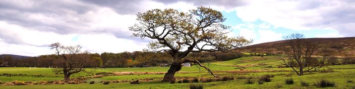
For this walk we head southwest into Lancashire and park at the convenient Scorton Picnic site adjacent to the river Wyre, before we explore the riverside, the adjacent lakes, and the farmland in the Wyre valley as they come back to life as spring takes hold.
This is a walk without a great deal of change in elevation, and is quite short, so we class it as easy. However, it may be worth considering that in common with most riverside and valley bottom walks, how easy it feels may well change with the weather – heavy rain makes the paths muddy and slippery so if you are picking this walk for ease of use, make sure you pick a suitable day.

Wyresdale, Scorton Read More »

Around Gilpin Beck

6.3 miles | 10.2 km | 393 m Ascent | 8.3 Naismith miles | Alison Kinder & Colin Stroud
Sometimes our program works out such that we are in the same area for two consecutive walks – and that’s the case this time. This walk is at times no more than 200m from our recent Winster Valley walk, and at first we though that must be why a couple of locations looked familiar – we later realised that it is becase our equally excellent route at Lord’s Lot used a short section of the same paths from Spigot House to Bow Mabble Breast.
What does separate this walk from the earlier Lords Lot walk is the weather – we were rather unlucky this time. Despite that, there is much to recommend this walk – easy parking, rivers and tarns, woodland, working farms and some great views. Even in the rain it’s well worth the effort.

Around Gilpin Beck Read More »

The High Way Upper Wensleydale

7.1 miles | 11.5 km | 371 m Ascent | 9.0 Naismith miles | George Sheridan
Walking is a somewhat weather-dependant hobby, and this route demonstrates that clearly: When we completed our Grisedale and Garsdale walk in this area in June 2022, we enjoyed bright sunshine, walked over dry fields, and asked ourselves why bridges had been provided to cross mere trickles of streams. Fast forward to the wettest start to year that anyone can remember, and we see why the bridges are there – those same streams are now small rivers in full flow.
So, does the rain spoil the experience? Not at all, it just gives us a different perspective: Wonderful waterfalls roar into life, mosses and lichens proliferate, and we get extra exercise jumping over streams and fighting to stay upright on muddy descents. Whatever the weather, this walk offers a great deal – we rate it as easy based on the distance and ascent but be aware that there are steep sections and in the event of poor conditions, extra care is needed.

The High Way Upper Wensleydale Read More »

Kettlewell to Starbotton

6.4 miles | 10.3 km | 335 m Ascent | 8.1 Naismith miles | Sandra Craggs
Kettlewell is one of the “Honey pot” villages in the Yorkshire Dales, and so during the peak of the tourist season, it gets rather crowded – and justifiably so – it’s a lovely place.
However, if you pick a glowering day during February when the weather forecast is gloomy, not only will you have the pick of the parking places, but all the paths will be deserted and if the weather proves to be better than expected you will still get some great views.
This walk takes us from Kettlewell up the Top Mere Road to Cam Head and then down Starbotton Cam Road into Starbotton. We then return along a riverside path enjoying typical Upper Wharfedale views. Although we class this walk as easy, based on the distance and total ascent, be aware that the first section is steep, though there are a couple of benches to take a rest.

Kettlewell to Starbotton Read More »

Kirkby Lonsdale and Casterton circular

5.0 miles | 8.1km | 164 m Ascent | 5.9 Naismith miles | Don Cartledge
This is one of our shorter walks – partly because we revised part of the route on the day to avoid flooding, and partly because sometimes it’s just nice to offer an easier route that can be used to fill a Sunday afternoon or a spare couple of hours on a balmy summer evening.
Despite being quite compact, this walk packs a lot in – we get to see the dismantled railway line that once linked Ingleton and Sedbergh, via Barbon, we walk on a Roman road, pass a number of Andy Goldsworthy art installations, catch a distant glimpse of a stone circle, visit the beautiful Holy Trinity Church in Casterton, walk on the access road to coal mines that can be traced back to the reign of Charles I, and all still have time left to get some shopping in Kirkby.

Kirkby Lonsdale and Casterton circular Read More »

Oxenholme round

7.2 miles | 11.6 km | 271 m Ascent | 8.6Naismith miles | Alison Kinder & Colin Stroud
Kendal styles itself as “The gateway to the Lakes”, and it is indeed a good base for those wishing to explore the southern end of the Lake District. The surrounding countryside also has much to offer in its own right– as we see in this walk.
From convenient parking close to Oxenholme station, we start by climbing the Helm, gaining great views of the Lakeland Fells, the Howgills, and Morecambe Bay. From there we descend past an ancient fort, and a curious folly to pick up St Sunday’s Beck which we follow upstream to the delightful Bleasehall Wood. We note a syphon well before taking an isolated green lane to St Sunday’s Bridge and from there we head to Hawkrigg. The return leg involves a brief but quite steep climb up the aptly named Windy Hill, and then it’s a steady descent to the finish. We show this as an easy walk because it is (just) less than 12 km – but the consensus from the group was that it “feels more like a medium”.

Oxenholme round Read More »

Norber erratics from Clapham

6.9 miles | 11.0 km | 249 m Ascent | 8.1 Naismith miles | Mary Taylor
Bentham Footpath Group travel up to an hour or so to get to the start of our walks. This generally works well, but given that we already live in paradise, we sometimes find ourselves thinking – why not just stop here and just walk our own patch? So that’s exactly what we do on this walk.
The Norber erratics are well known, and one of the “tick list” attractions in the Yorkshire Dales. The usual starting point would be Austwick – and we have in the past walked from there, but this route extends the day and gives us a chance to take in Clapham and Wharfe, as well as Austwick.

Norber erratics from Clapham Read More »

Levens and Heversham

6.0 miles | 9.6 km | 205 m Ascent | 7.0 Naismith miles | Don Cartledge
A quick glance at our website shows that Levens is a firm favourite of the Bentham Footpath Group, and this easy walk demonstrates exactly why – it’s convenient to get to, offers easy walking, is packed with interesting locations, landscaped parks and industrial heritage, as well as offering stunning views back to the Yorkshire Dales, of the Kent estuary, and over to the Lake District fells.
The route we present here overlaps in places with a number of our other walks – the great advantage of this is that you can use this as the basis for longer or more challenging days out by adding sections from the connecting routes.

Levens and Heversham Read More »

Ingleton Circular via Fell Lane

4.1 miles | 6.6 km | 197 m Ascent | 5.1 Naismith miles |Alison Kinder & Colin Stroud
This walk was designed to be brief such that as a group we could meet as usual yet be finished in time to reconvene with friends and family at the Old Sawmill in Clapham for a convivial meal.
Don’t go thinking that this walk is any the lesser for being short and sweet though – it goes far enough up Fell Lane (one of the routes up Ingleborough) to give good views of the peak, and we have Ingleton and the Lune Valley to enjoy too.
A brief look at the OS map will show that this walk intersects with many other footpaths so there are ample opportunities to extend or modify the route – or simply enjoy it as it is: An easy but enjoyable walk that can be slotted into the day with minimal planning.

Ingleton Circular via Fell Lane Read More »

Bolton by Bowland

6.5 miles | 10.5 km | 155 m Ascent | 7.3 Naismith miles | George Sheridan
We head back to the Forest of Bowland for this great and relatively easy walk from the pretty village of Bolton by Bowland, creating a great opportunity to combine the walk with a visit to the village – which boasts two great pubs and a very interesting church.
We start at a free car park next to the road bridge over Skirden Beck and then follow the beck upstream to Oak Trees Nursery. A short section on the road takes us up to Forest Becks, where we pick up Monubent Lane, which we follow as far as Monubent Head. From there we cross Fooden Moor until we get to Raygill Moss where we pick up the Ribble Valley Jubilee Trail. This takes us to Fooden, where we start to see the Ribble over to our left. We then follow the Ribble Valley down to the estate where Bolton Hall once stood and walk back into Bolton by Bowland via the estate grounds. We then stroll through the village, passing the church, the two greens and one of the pubs.

Bolton by Bowland Read More »