Jump to . . .Step by Step | OS Map | Downloads | Gallery | Fly through
Bentham Footpath Group travel up to an hour or so to get to the start of our walks. This generally works well, but given that we already live in paradise, we sometimes find ourselves thinking – why not just stop here and just walk our own patch? So that’s exactly what we do on this walk.
The Norber erratics are well known, and one of the “tick list” attractions in the Yorkshire Dales. The usual starting point would be Austwick – and we have in the past walked from there, but this route extends the day and gives us a chance to take in Clapham and Wharfe, as well as Austwick.
- Total distance 11.0 km (6.9 miles)
- Total ascent 249 m
- Easy walk
Step-by-Step
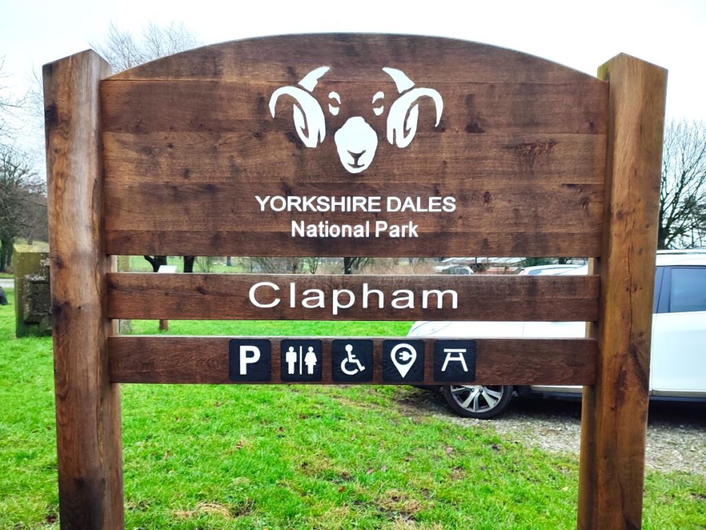
We start in Clapham, at the National Parks car park. Parking is chargeable, but it’s very convenient, there are public toilets, and it helps pay for all the good work the National Park does preserving the Dales for us, and adding resources like their excellent website and free walking apps
The car park is right in the centre of Clapham and is well signposted. If you are using Satnav to get there, the address is Church Avenue, Clapham, LA2 8EQ, which corresponds to the OS grid reference SD74546921 or the What-3-Words tag originate.shallower.climbing
Before we start on the walk, it’s worth taking a moment to look at the Millennium Stone and associated information board – this was created to celebrate the millennium and incorporates a number of features which help define Clapham.
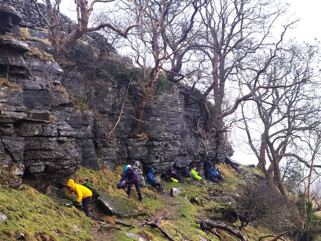
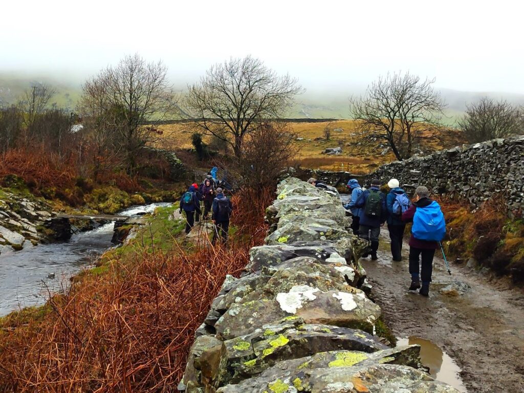
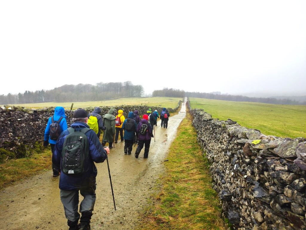
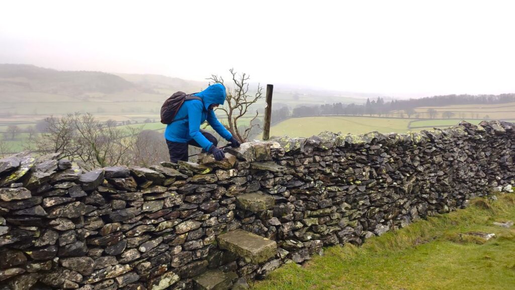
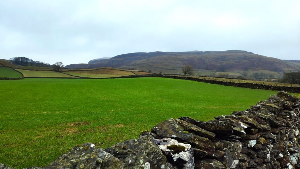
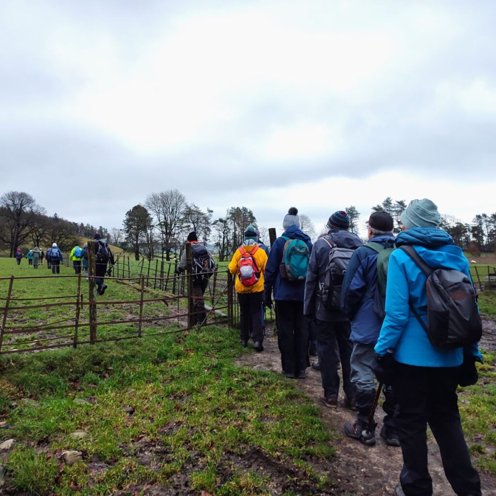
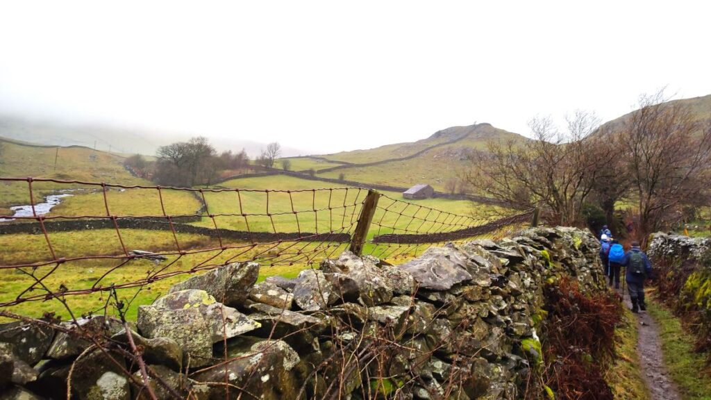
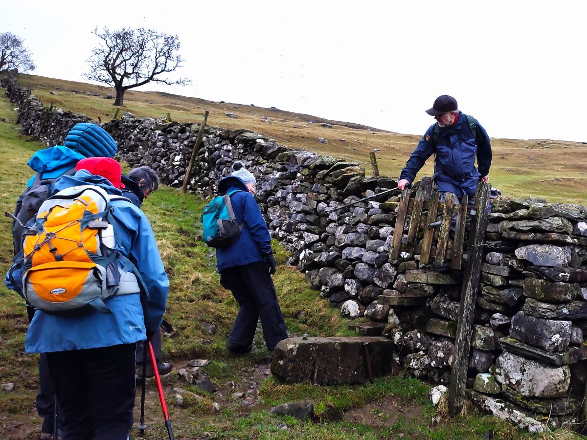
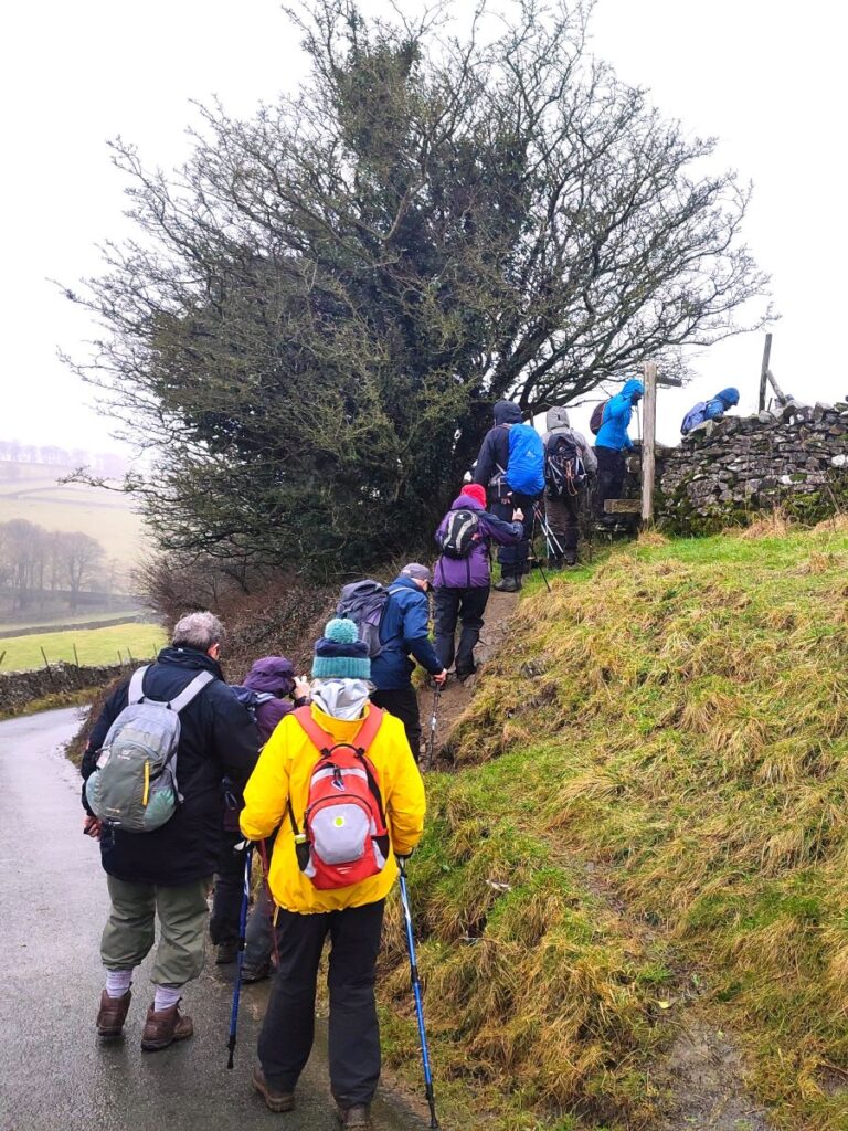
The walk itself starts by taking the path at the side of the facilities block – this runs southeast from the toilets toward the farmland at the back of the car park. At the end of the car park path there is a gate which takes us onto a public footpath adjacent to a farm track – and then via another gate into a series of fields heading Southeast toward Austwick. Some of the field boundaries can be crossed at gates, but most have stiles so although we offer this as an “easy” walk, be aware that we base that on the distance and elevation change – the actual terrain here, and later on at the erratics, means that you need to be prepared for a slightly more challenging experience.
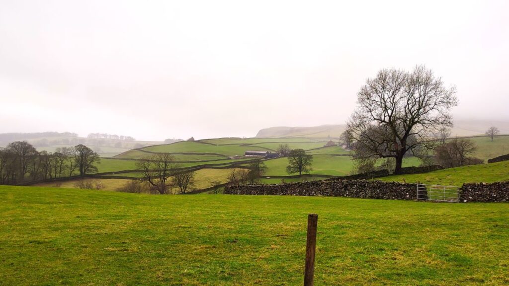
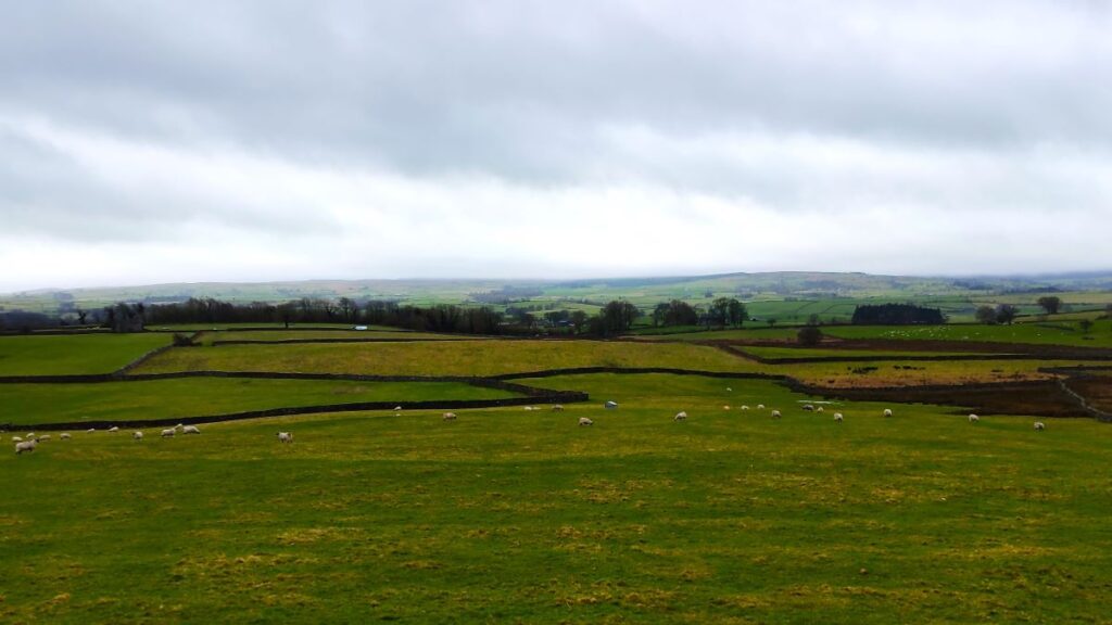
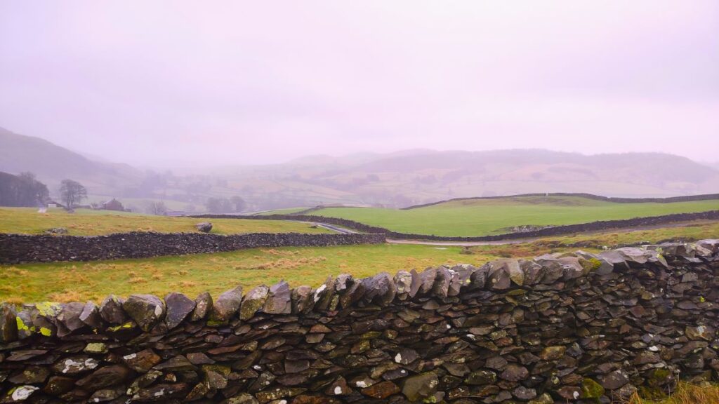
The path over to Austwick is well used, and should be clear at all times, and as we head that way, there is little climbing – that comes later. Over to our right as we progress, we have a good view of the Forest of Bowland and Gisburn Forest, as well as down the Ribble Valley flood plain. To our left there is the woodland at Thwaite top, and the Pennine Journey / Pennine Bridleway paths that we use on the return leg. Also just visible, though not directly on our route is a recently restored woodland close to the junction of the A65 and the Clapham Old Road where a toll house stood until comparatively recently – some of the walls are still visible. Be aware though that if you want to visit that woodland the correct route is from the Old Road.
As we approach Austwick we pass through an ancient field system known as a Lynchet – it is most noticeable in the last field before we arrive at the road into the village. Lynchets date back to (at least) Anglo-Saxon times and were an organised way to divide the common land so that many families could share both the crops and the labour required to realise them. This involved dividing the land into thin strips, the remnants of which remain visible even now. For a good explanation of Lynchets in the dales visit the Dales Discoveries website – which incidentally has has much else to offer.

We arrive at Austwick at a minor road (Clapham Road) and turn left to walk up to the centre of the village, soon arriving at the Church of the Epiphany, notable for it’s rose window, and pews that feature storage for top hats. Opposite this is the village green, the post office / village store, and the road to Horton in Ribblesdale. We walk up that road passing the Game Cock Inn, and then the primary school as we walk through the village. To find out more about Austwick click here
Once past the school we note a road on the left – Townhead Lane. Were we to turn left here and head up the rather steep road we would be on the lane to Crummackdale, from which we later access the erratics, so this is an option to shorten the walk if you are short of time or energy – but the price you pay is missing Wharfe and the Wash Dubs, so we recommend staying with us.
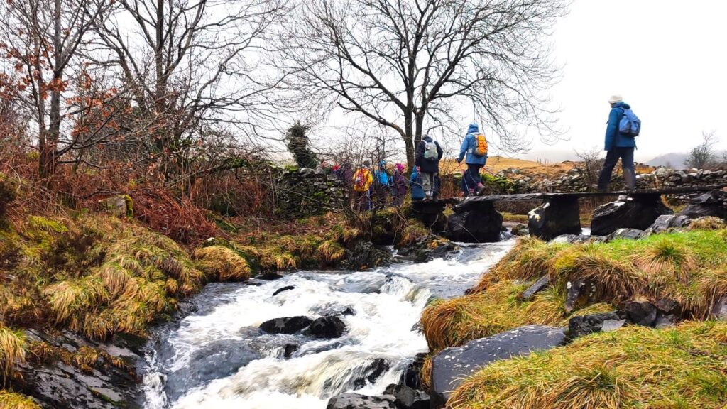
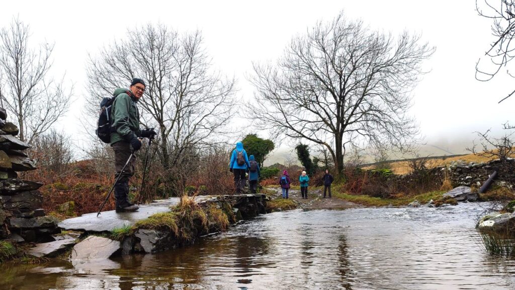
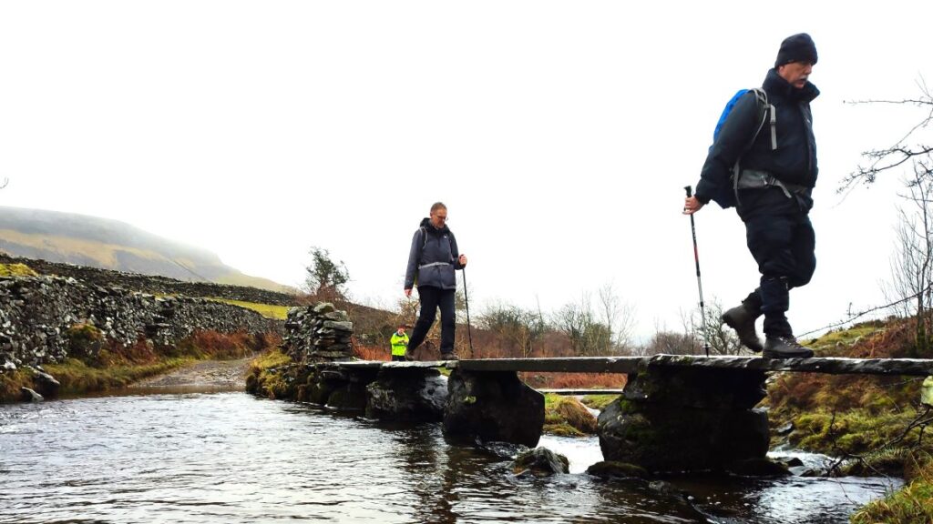
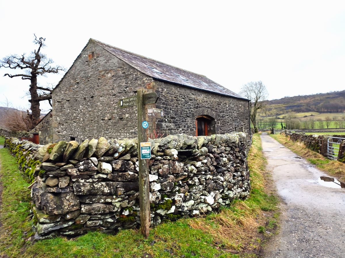
We therefore press on along the Horton Road, walking on the road for about 600m – it is not especially busy, and visibility is generally good, but even so, extra caution is needed here. As we walk along the road, we pass a converted barn on the right adjacent to a path (part of the Pennine Journey route) – which goes down to Flascoe bridge, a pretty stone slab bridge over Austwick Beck, a great place to have a picnic.
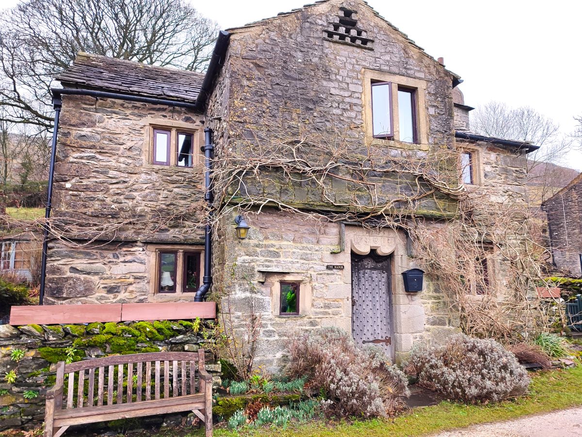
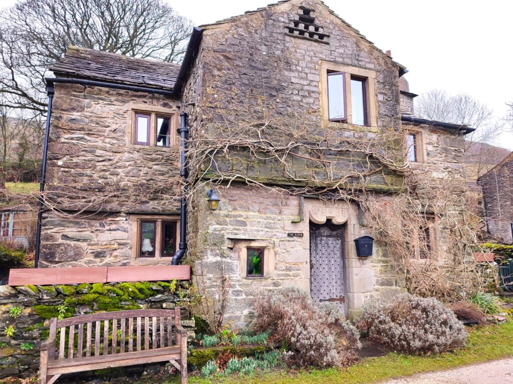
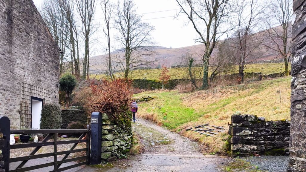
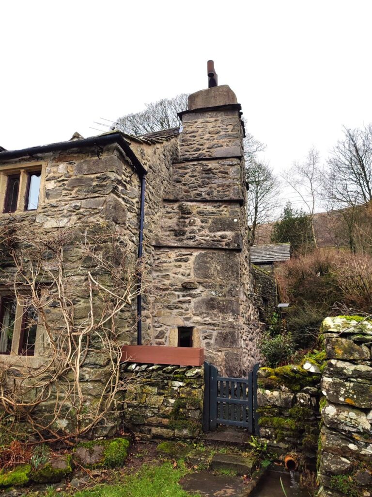
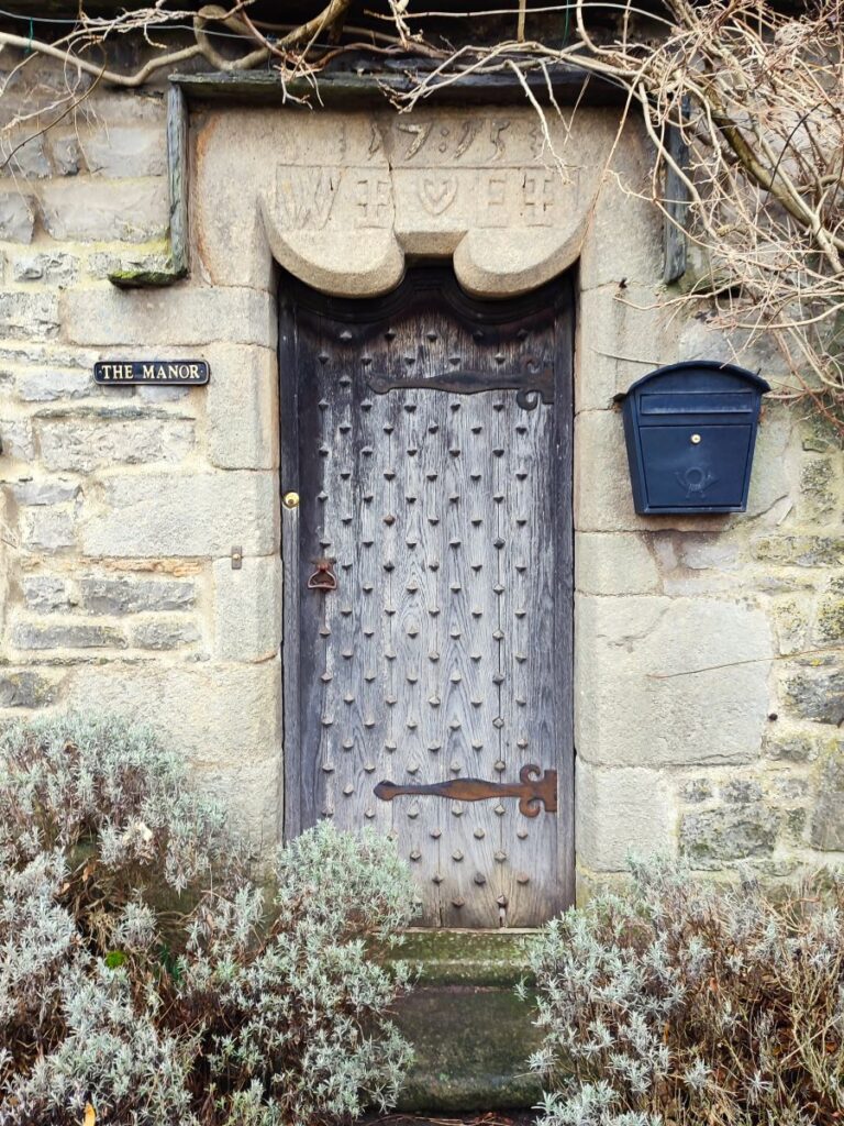
Further along we approach a whitewashed house on the right and need to look for a footpath on the left signposted for Wharfe. This takes us up a pretty lane adjacent to Austwick Beck and into the ancient hamlet. The name Wharfe means ‘the bend’ and it is the only settlement in Crummackdale. There are just 14 dwellings all of them impossibly attractive, and notable amongst them the Manor house – dating to 1715 and grade II listed. This features in many Dales Calendars.
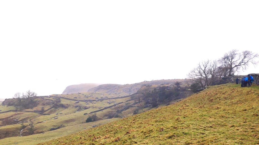
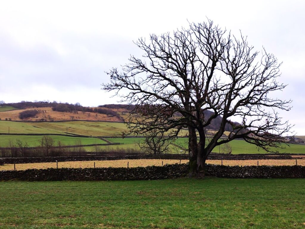
Beyond the manor house look for a lane on the left heading toward Moughton Fell which rises immediately behind the hamlet to a height of 1,400 ft (430 m).
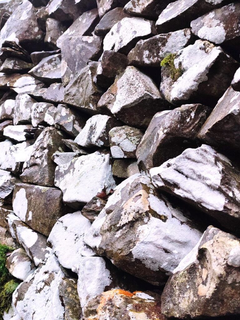
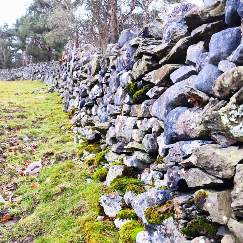
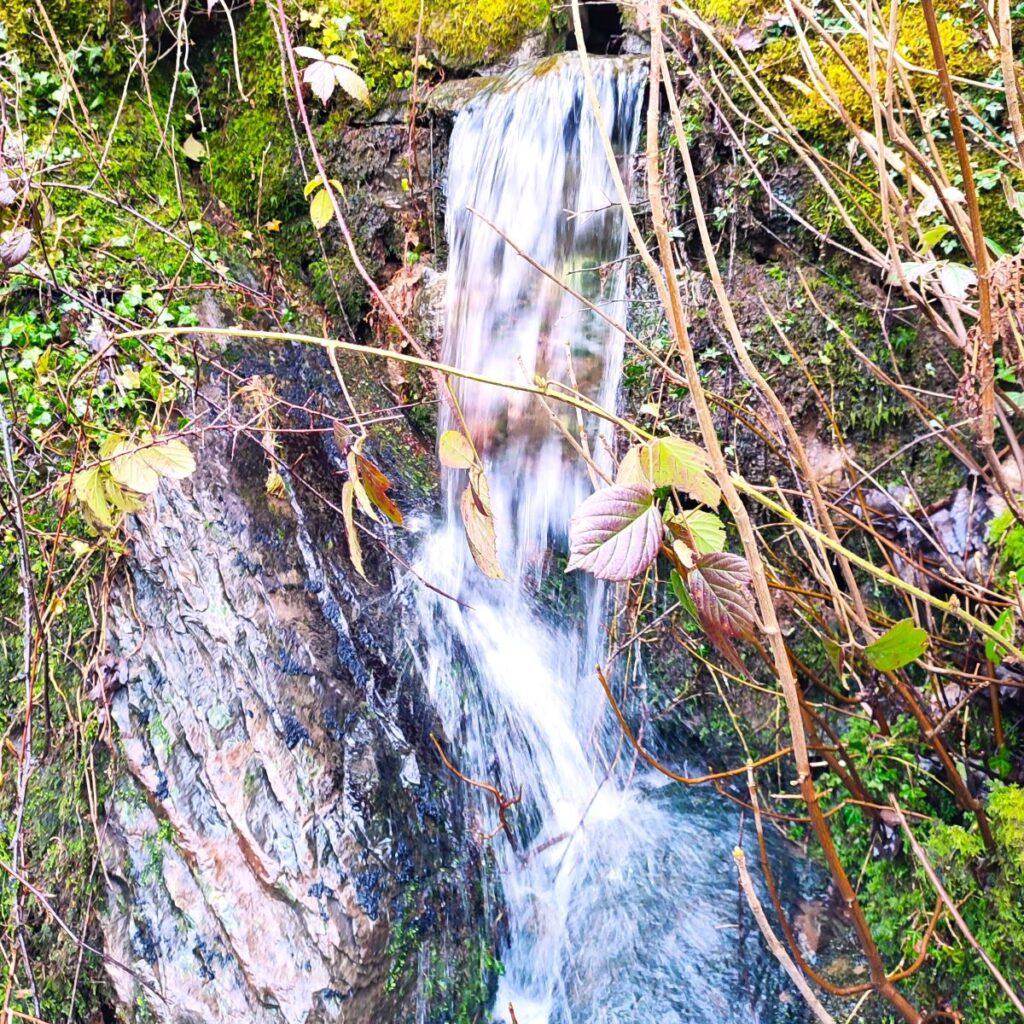
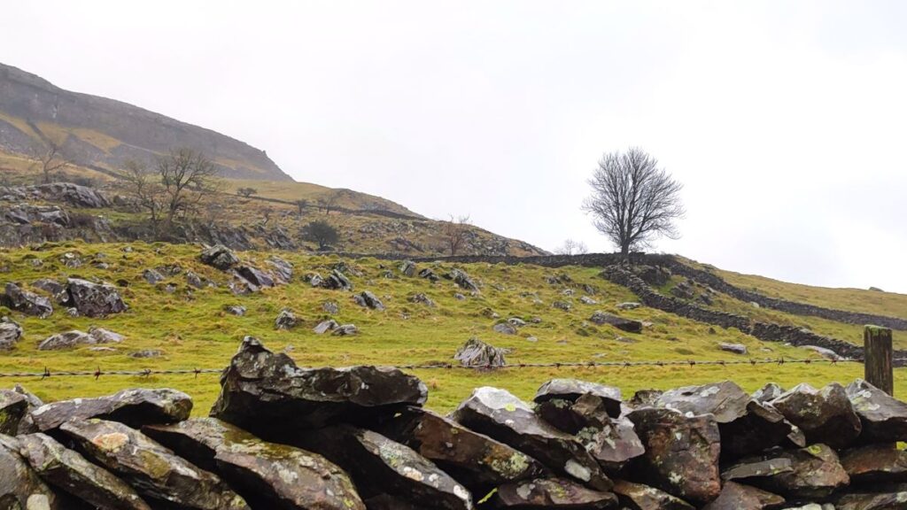
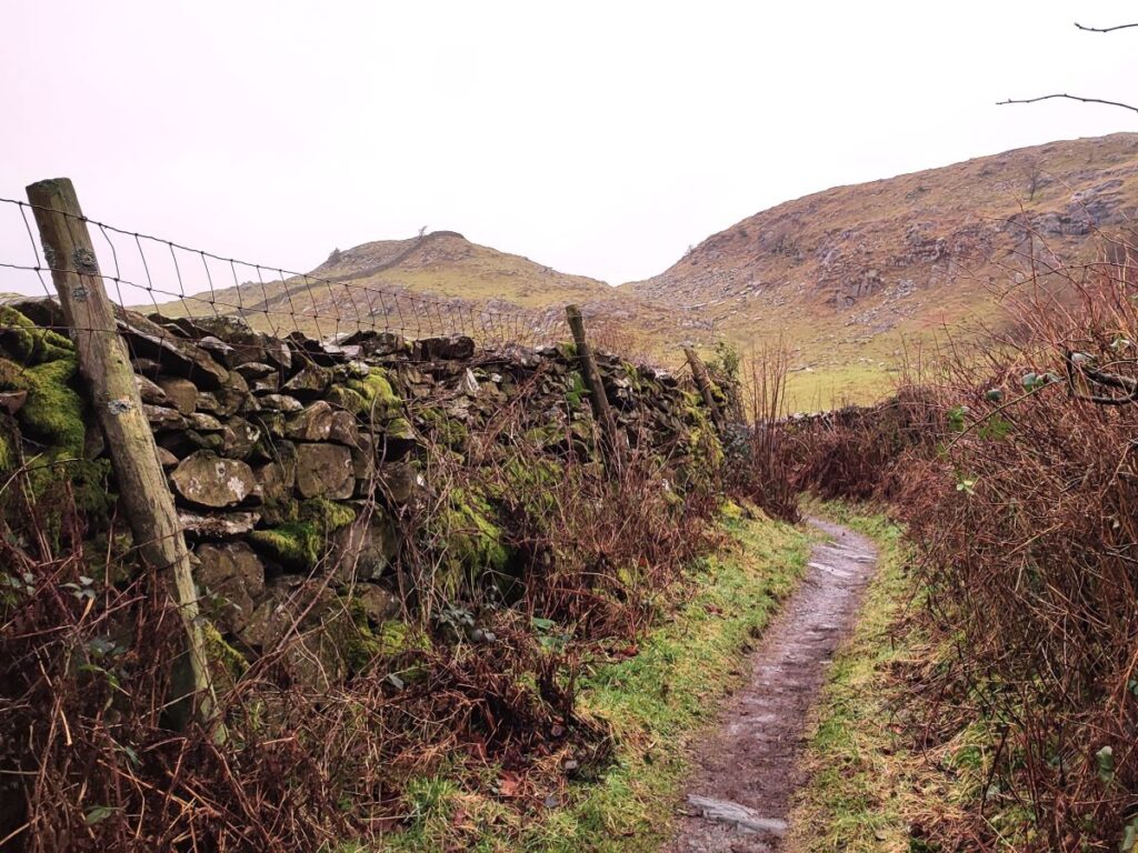
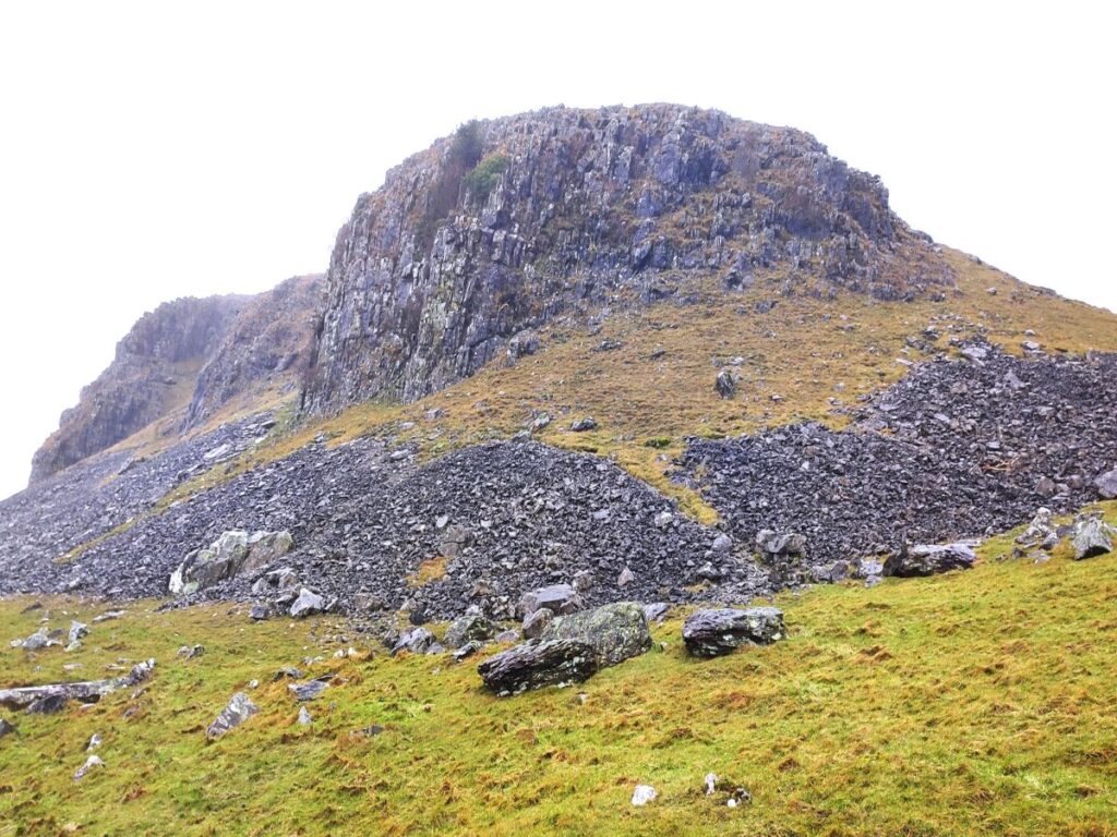
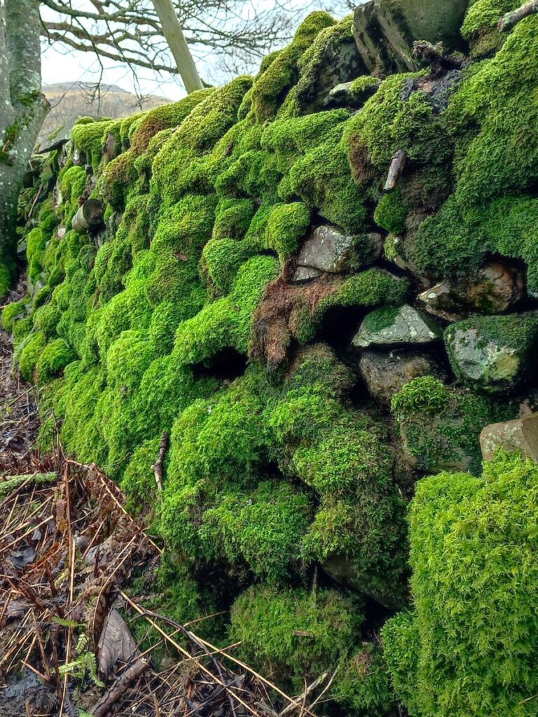
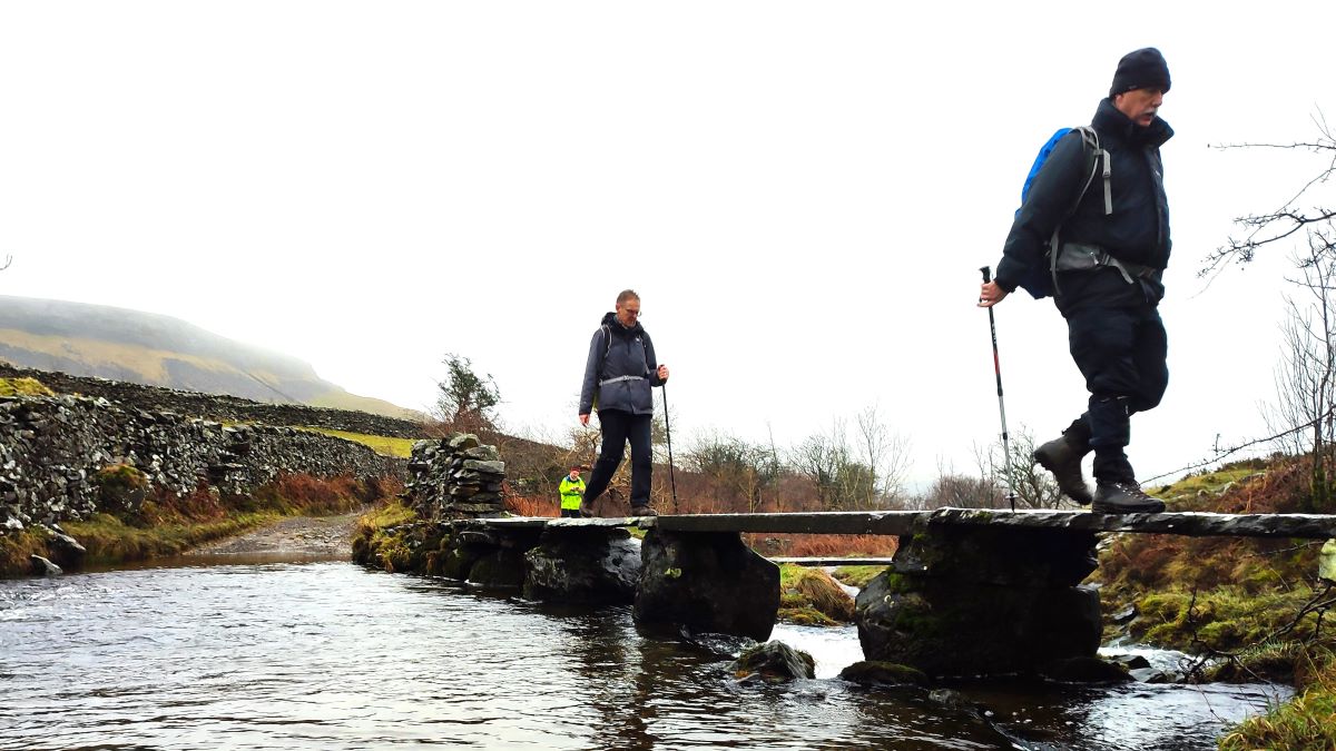
We take this smaller lane, back on the Dales Highway path, and follow it round to the left, climbing along the foot of the looming Moughton Scar as we go. We remain within drystone walls for most of the route, but we may well hear the flow of Austwick Beck as we progress – it’s never far from the path and does feature a waterfall – although it’s not readily visible.
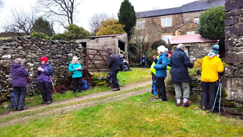
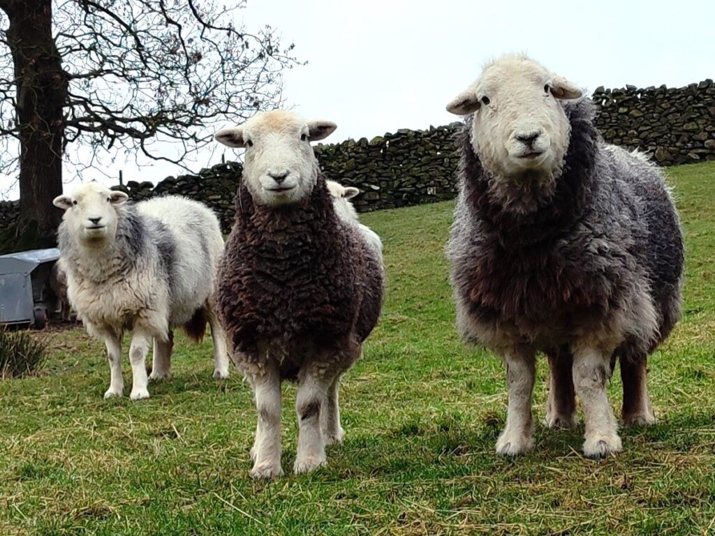
After about 800m of progress northwest along the Dales Highway, we arrive at The Wash Dubs, an interesting agricultural and cultural relic: In the days before chemical sheep dips, sheep had their fleeces ‘salved’ with grease and Stockholm tar to keep parasites at bay. Before the fleece could be clipped and sold for wool production, the resulting mess had to be washed out in order to get a better price. In Austwick, farmers worked together and dammed Austwick Beck in Crummackdale to form a pool or wash dub. The sheep ready for washing were herded into the small stone enclosure nearby. Austwick wash dub field was given to the Parish Council by the landowner and the enclosure has been restored with Millennium Lottery funding.
Continuing with the Dales Highway for another 300m we arrive at Crummack Lane and turn left as if heading back to Austwick. This is a great location to look to Moughton Scar on the left, and over Austwick to Oxenber and Wharfe Woods directly ahead.
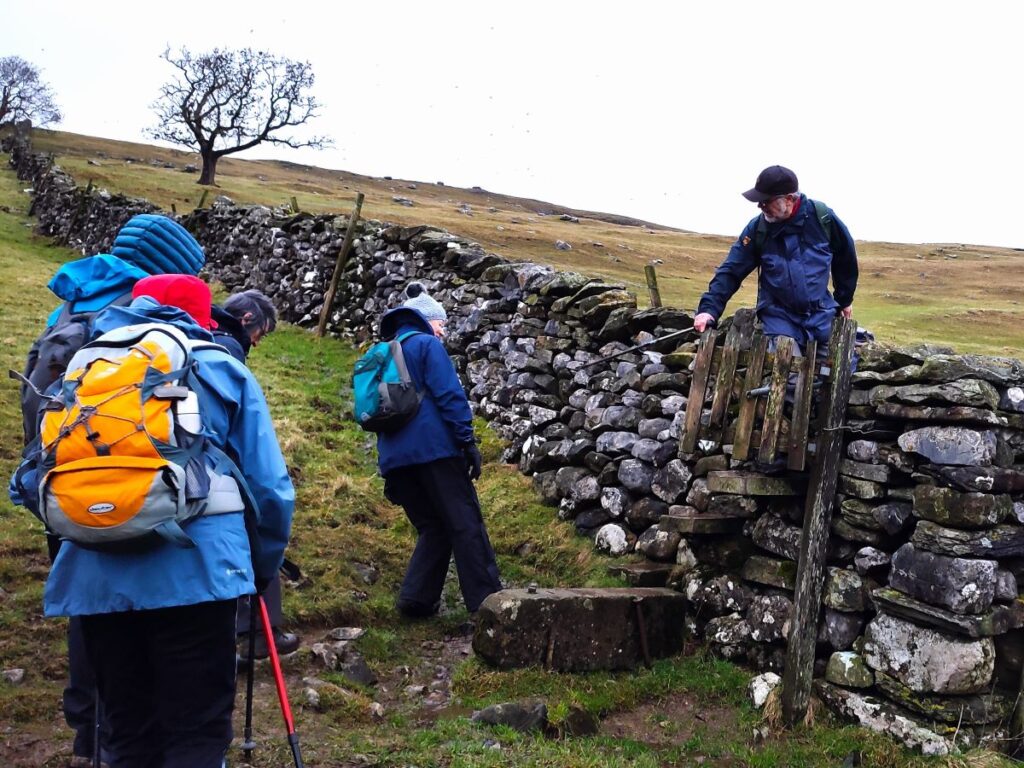
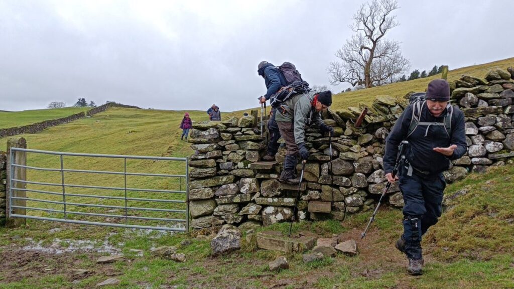
We follow the lane for about 500m until, as it starts to head sharply downhill, we see a stone stile on our right and a ladder stile on the left. The ladder stile is a route back to Austwick, but we take the stone step stile on the right and head through the field keeping to the drystone wall on the right hand boundary – this path takes us to the erratics.
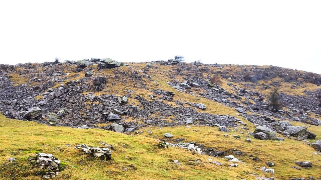
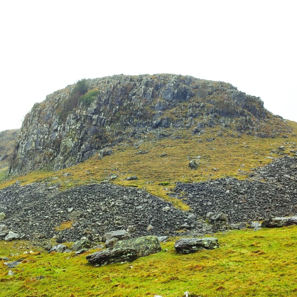
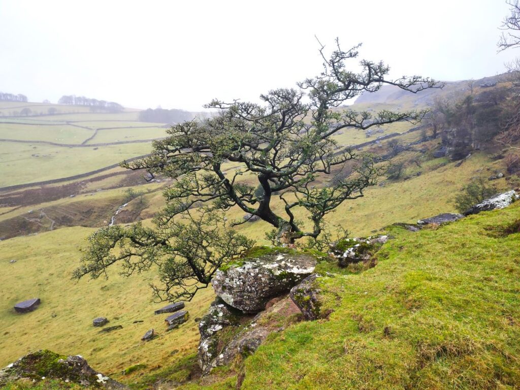
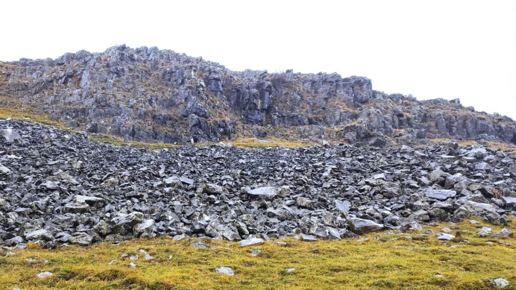
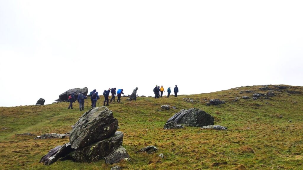
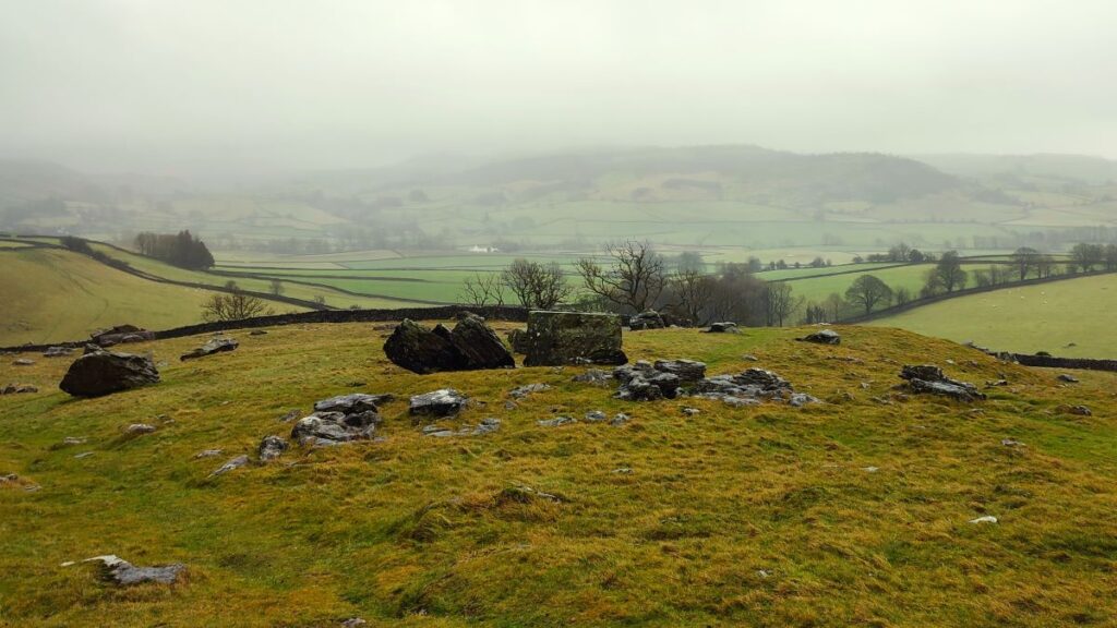
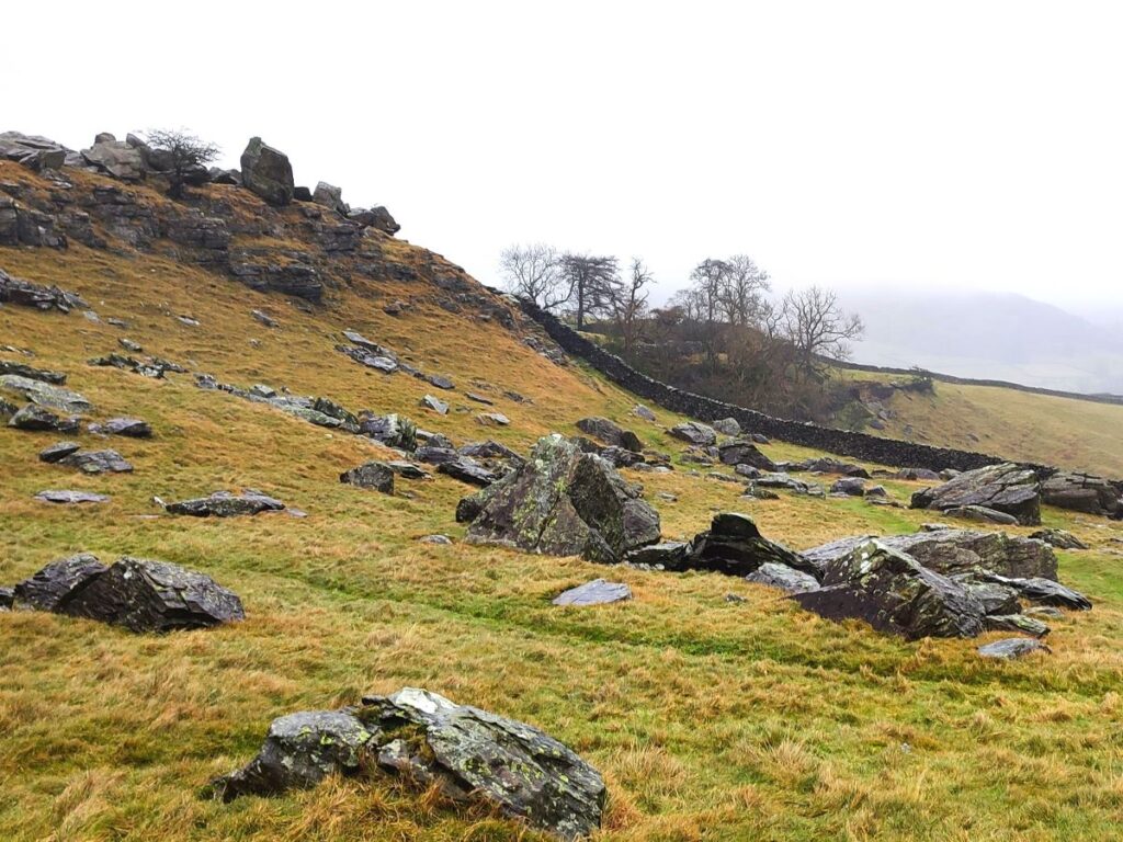
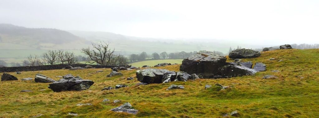
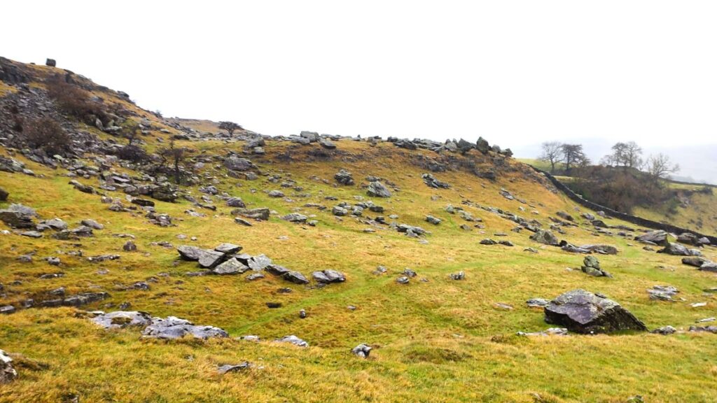
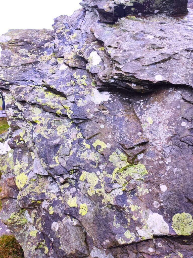
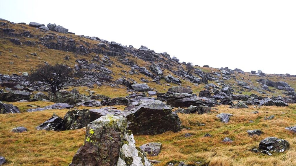
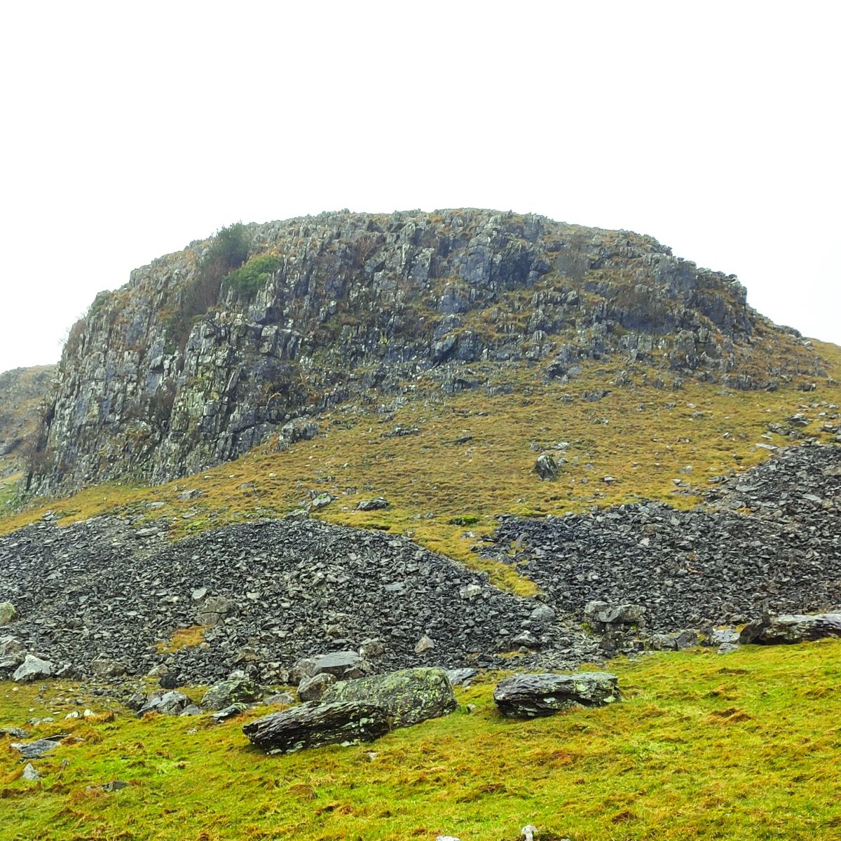
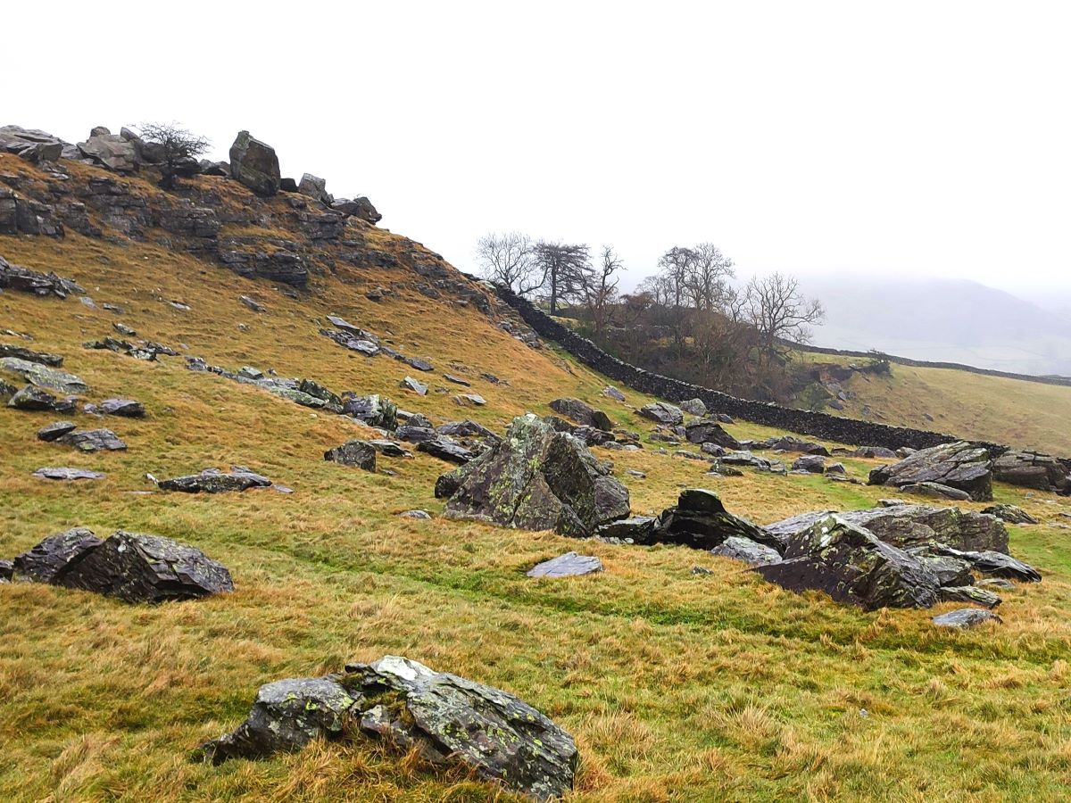
The Norber Erratics are generally considered to be the finest example of glacial erratic rocks in Britain. Thanks to an unusual geological phenomenon, many of the dark ancient boulders are balanced, apparently precariously, on white plinths of limestone, forming bizarre and attractive natural sculptures. The rocks are huge sandstone and slate Silurian boulders that were carried to their current location by a glacial ice sheet. They were deposited on the limestone shelf when the glaciers melted at the end of the last ice age, between 12,000 and 17,000 years ago.
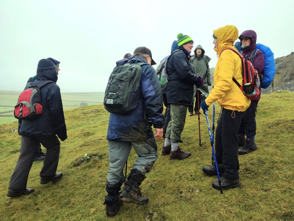
That explains why the boulders are here – but to understand why they are apparently balanced so artfully we need to understand the millennia of erosion that followed, whittling away the more vulnerable limestone except for the protected areas directly below the older Silurian rock, leaving the tough Boulder perching on partially eroded columns of white limestone. There are more than a hundred such Silurian boulders in the Norber Erratics field, and it’s well worth while spending time wandering round to find the best angles from which to view these strange forms.
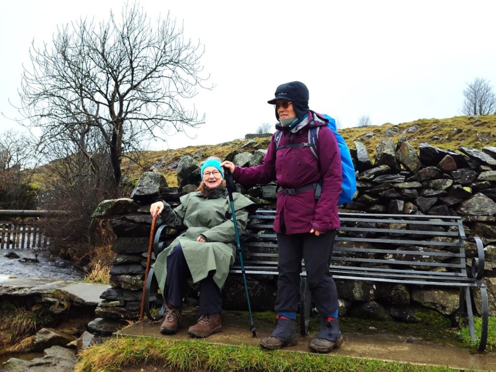
We were somewhat unlucky with the weather on the day of this walk, so to see the erratics in a kinder light, have a glance at the gallery on our earlier Norber Erratics walk, by clicking here
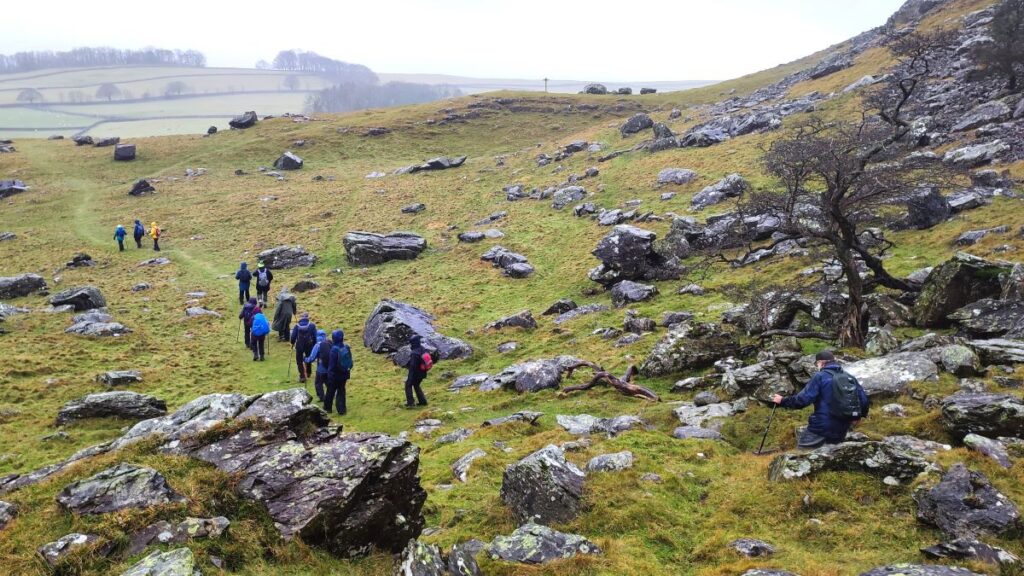
The route through the erratics is well trodden, but there are of course a myriad of routes that people have taken to get the best pictures of the more photogenic boulders, so it would be easy to go astray. The general advice then, is to follow the path from Crummack Lane along the front of Nappa scars, then cross the tumbledown wall and head up to the next stile before following the path slightly to the left and downhill around the base of Robin Proctor’s Scar to arrive at a four way fingerpost where we take the route indicating Clapham.
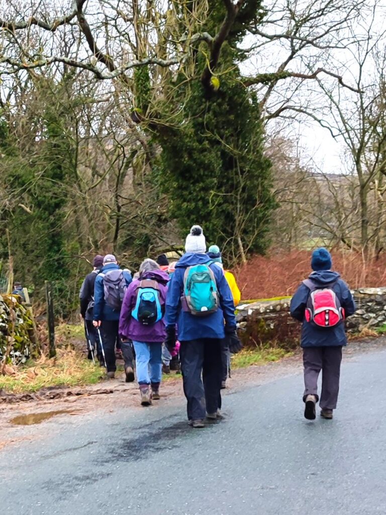
We now head along the base of imposing scars and then at their end point through open pasture before coming up to a lane. This is Thwaite Lane, and we head right, following it all the way back to Clapham.
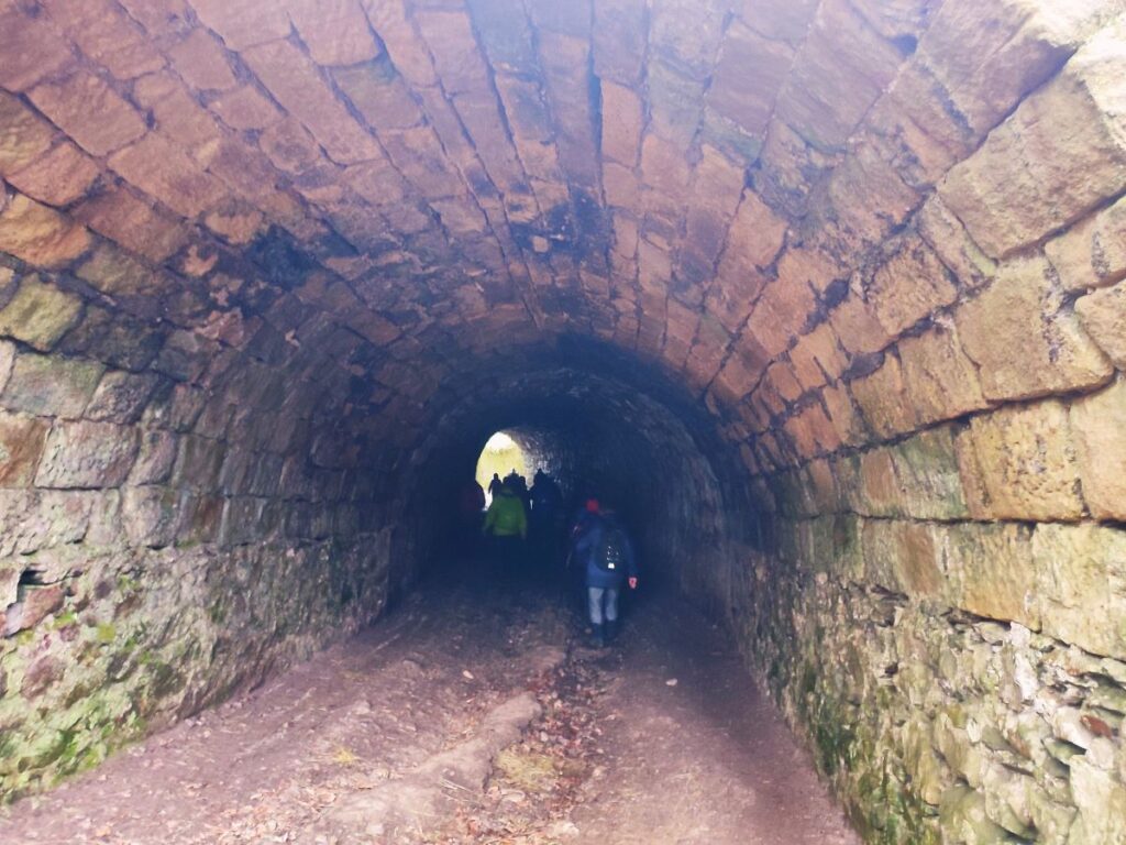
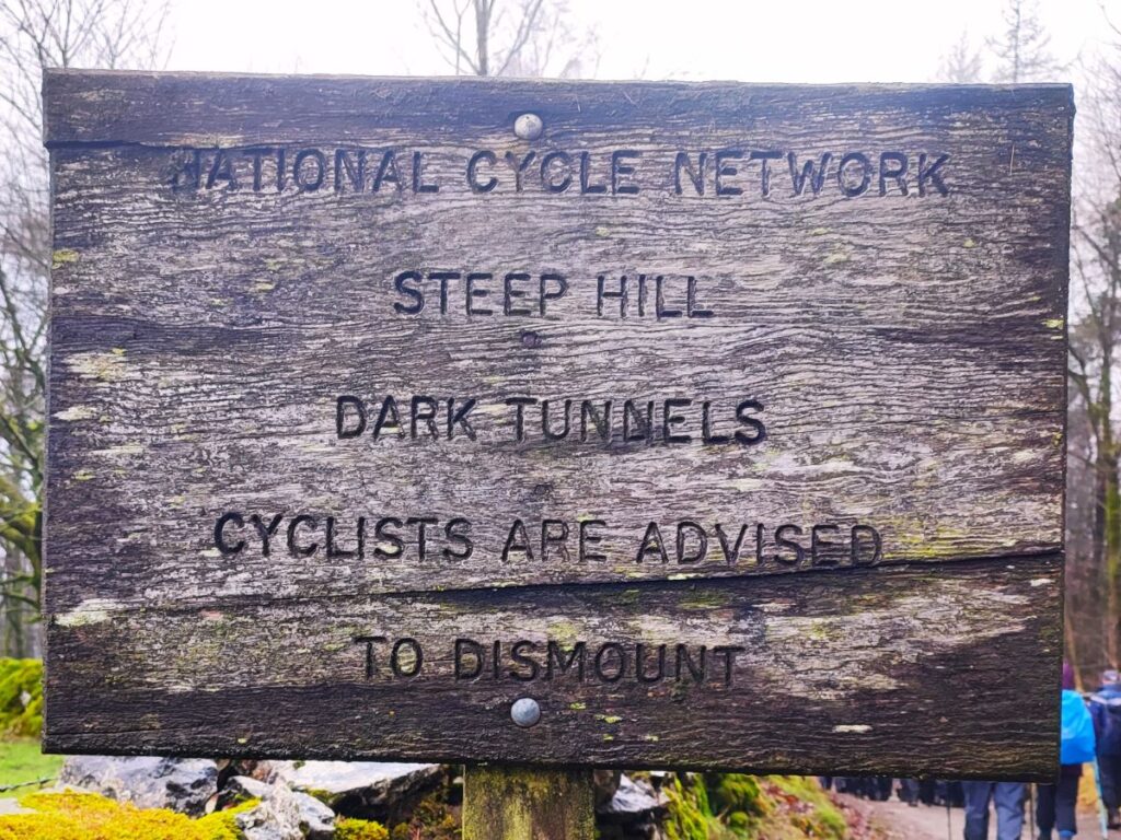
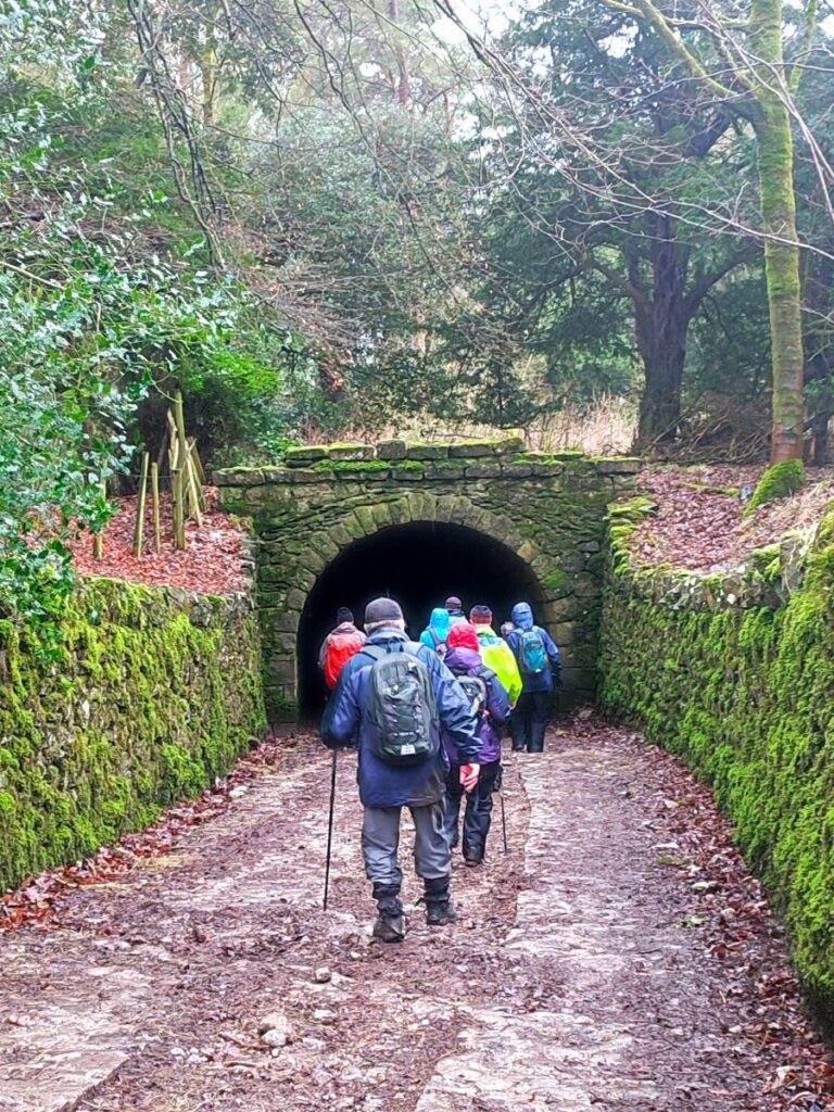
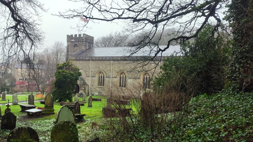
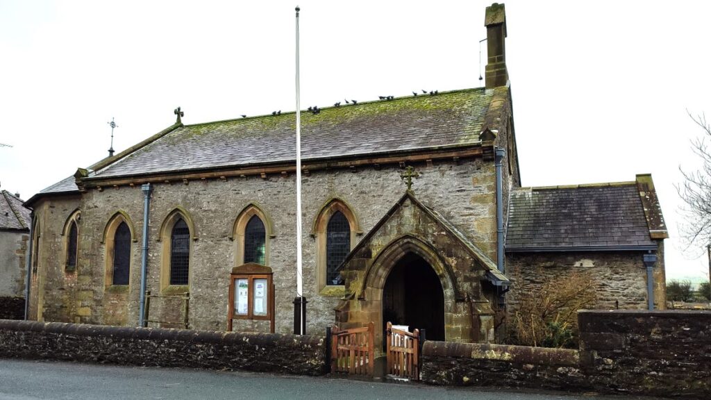
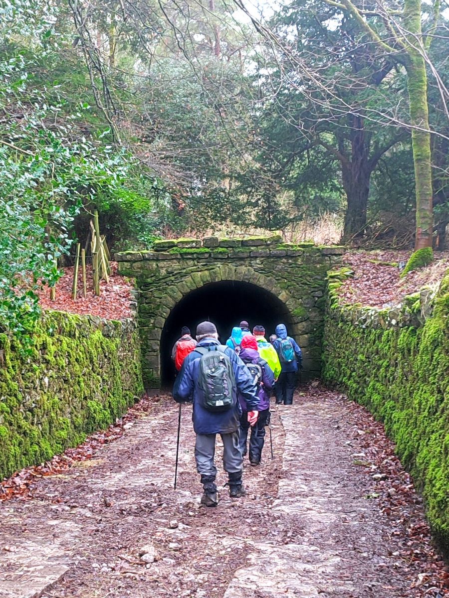
Thwaite Lane is part of the route for both the Pennine Journey and the Pennine Bridleway, and after about 800m we arrive at a junction with another lane (Long Lane), a good route to Gaping Gill. That’s not part of our route today though so we keep left and track along the edge of the woodland and down hill through tunnels to Clapham, emerging next to St James Church.
The church was founded in Norman times, and originally dedicated to St Michael. It is mentioned in records dating back to 1160. The church and indeed much of the village were burned during a Scottish raid following the Battle of Bannockburn in the early 14th century. The church tower was probably erected following this incident, but the rest of the church dates from the 19th century.
At the church we head left and back to the car park where the walk ends, but before leaving Clapham, we recommend having a good look round this interesting and thriving village. The Old Sawmill is well worth a visit and has hosted Bentham Footpath Group events very capably in recent times.
For more detail about what to find in Clapham use these links to . . .