Jump to . . .Step by Step | OS Map | Downloads | Gallery | Fly through
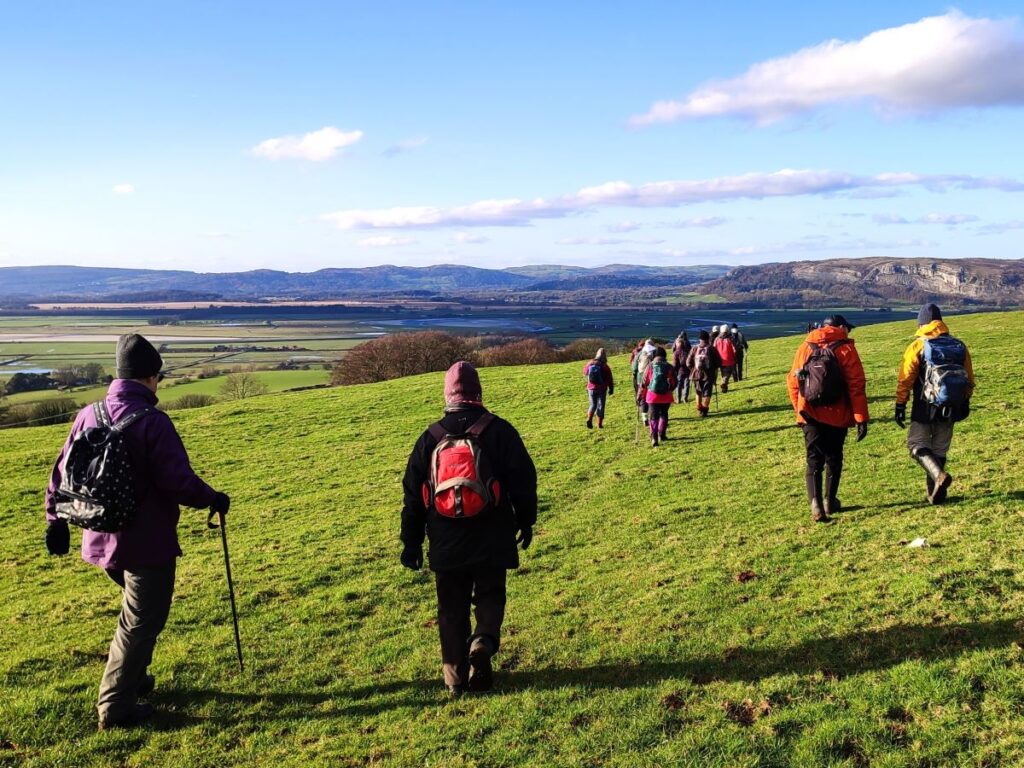
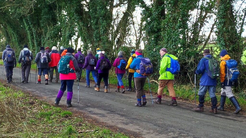
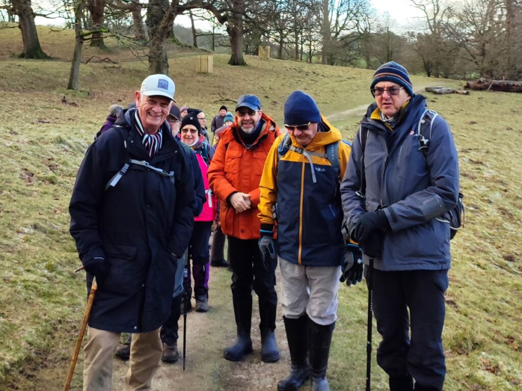
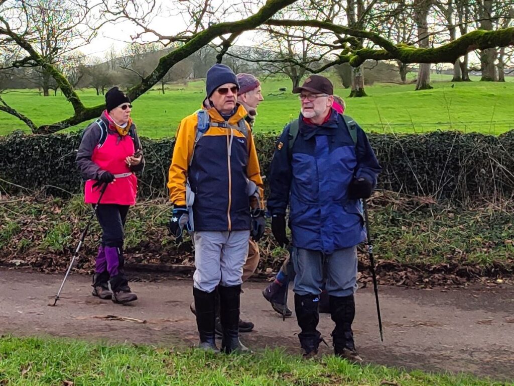
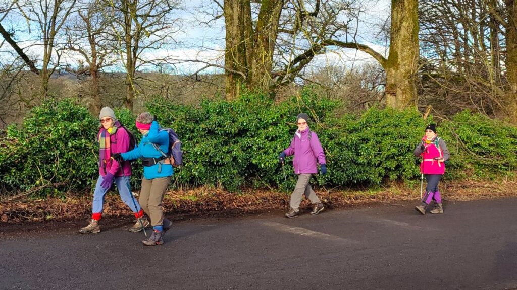
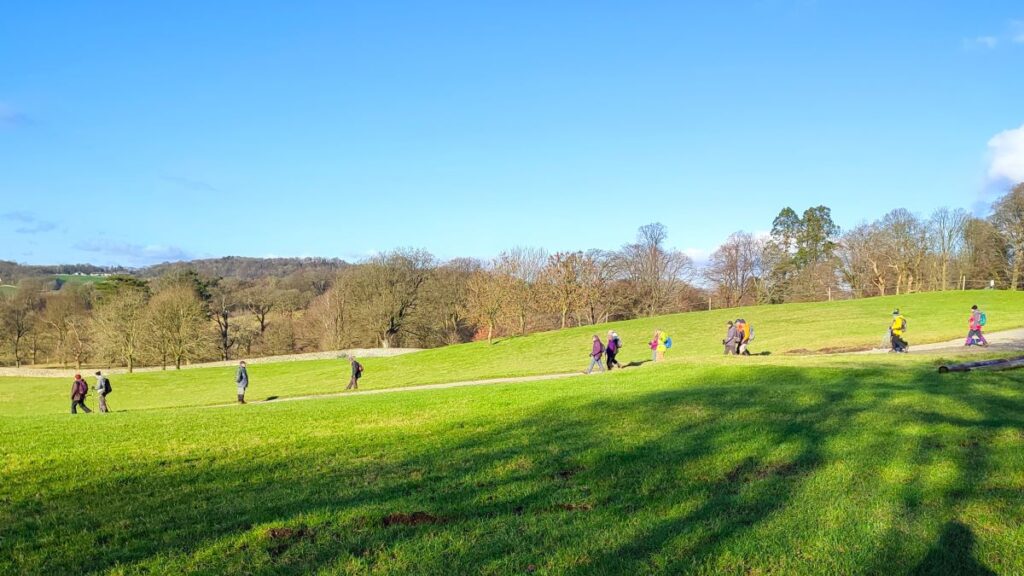
A quick glance at our website shows that Levens is a firm favourite of the Bentham Footpath Group, and this easy walk demonstrates exactly why – it’s convenient to get to, offers easy walking, is packed with interesting locations, landscaped parks and industrial heritage, as well as offering stunning views back to the Yorkshire Dales, of the Kent estuary, and over to the Lake District fells.
The route we present here overlaps in places with a number of our other walks – the great advantage of this is that you can use this as the basis for longer or more challenging days out by adding sections from the connecting routes.
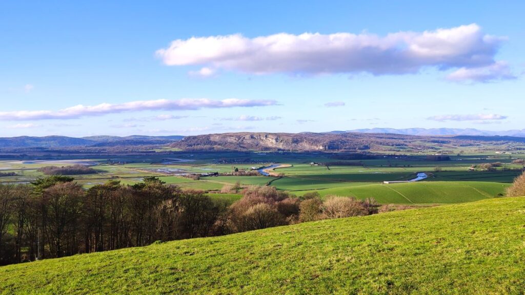
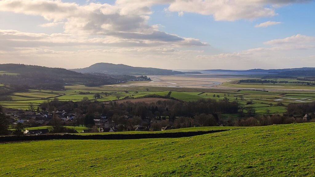
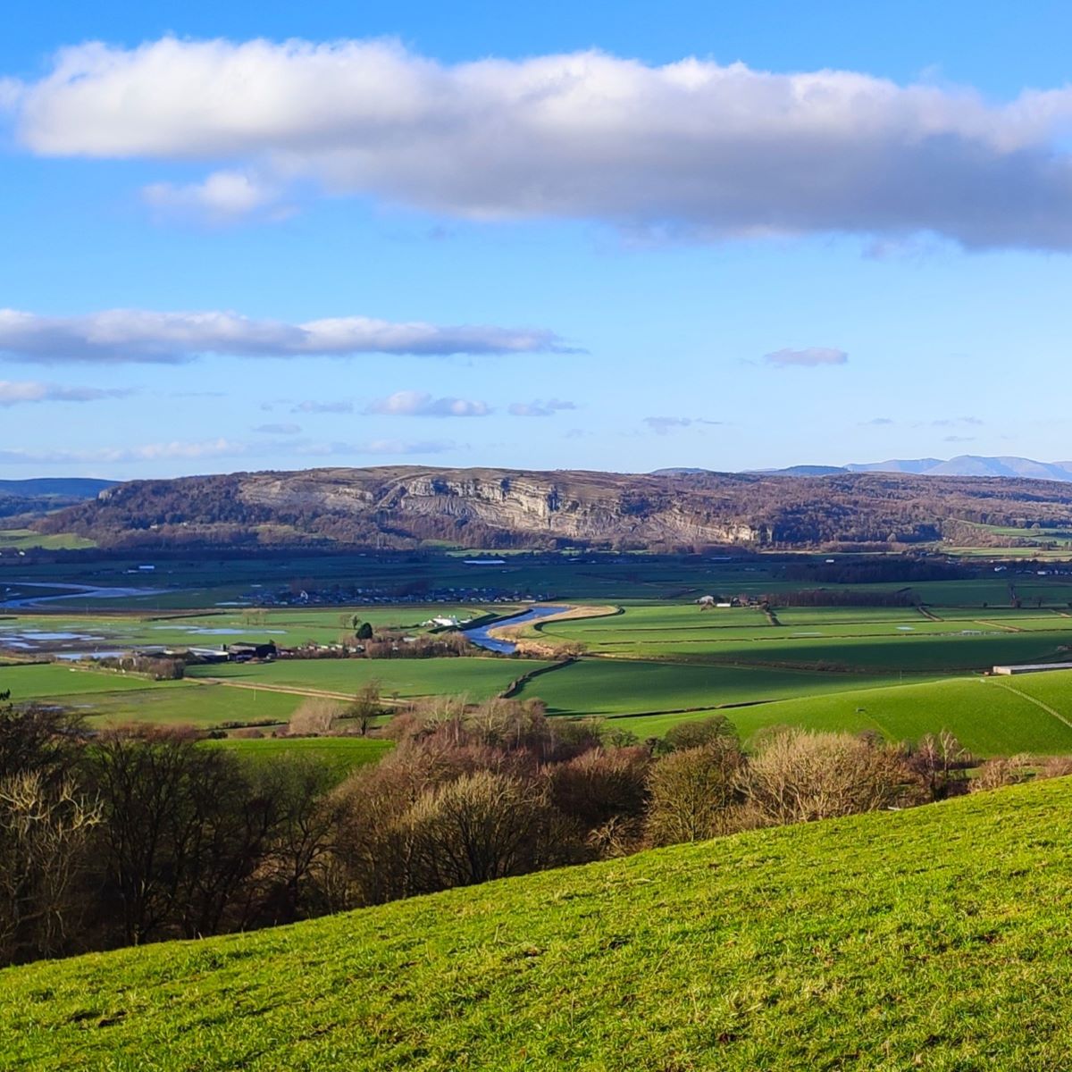
The best views on the walk are from Heversham Head – and on a cold crisp winter’s day they are simply stunning. Be aware though that the climb down from the head under icy conditions can be challenging.
- Total distance 9.6 km (6.0 miles)
- Total ascent 205 m
- Easy walk
Step-by-Step
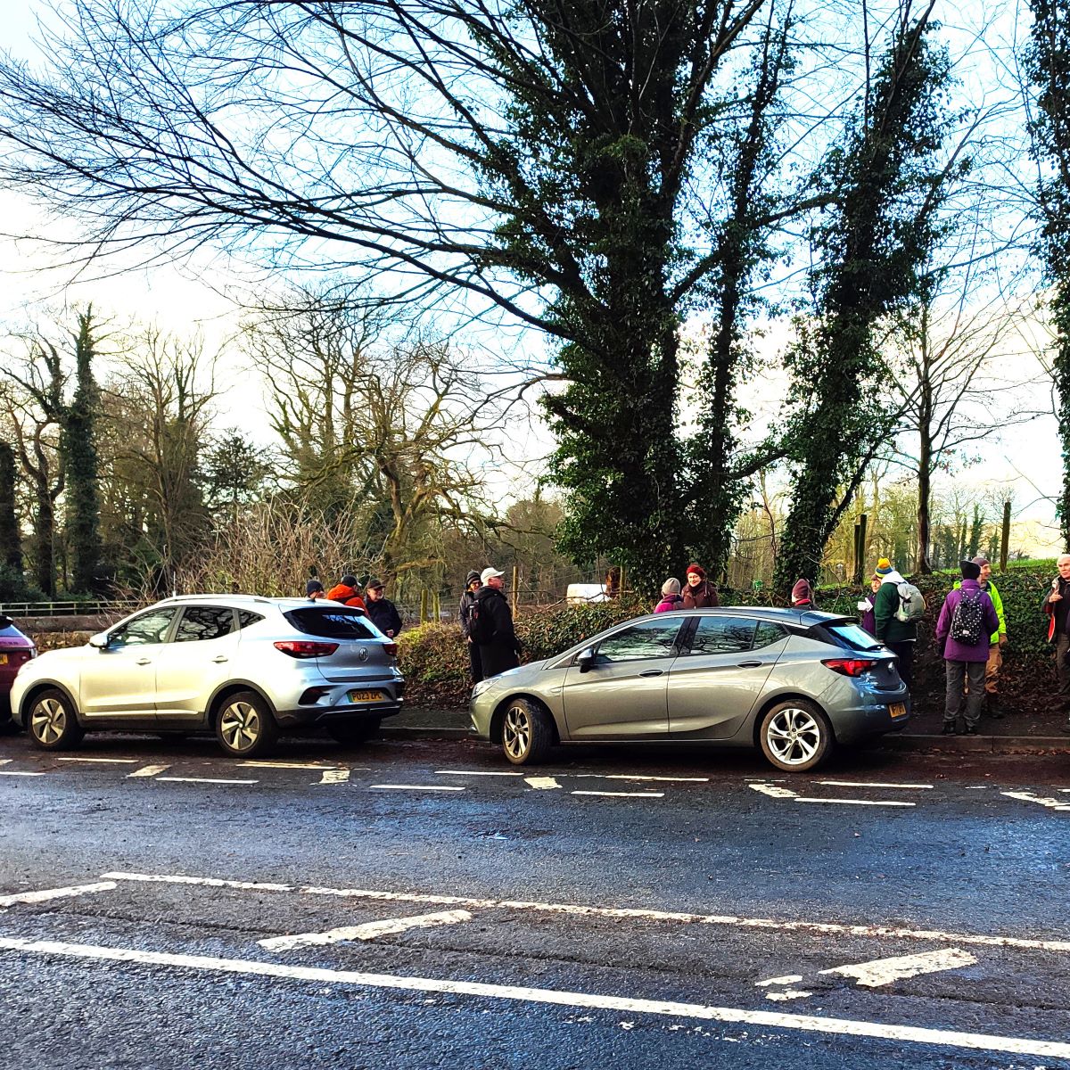
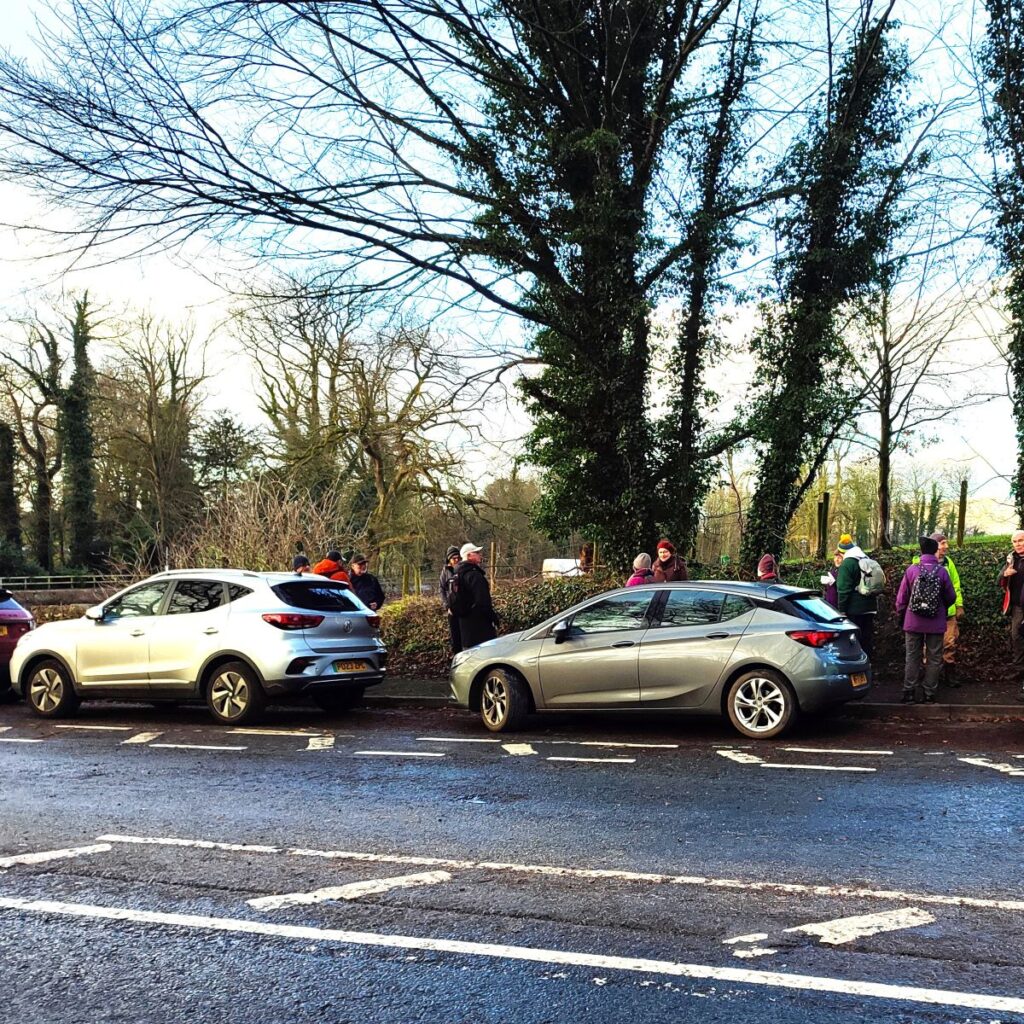
We start from a layby just to the north of Levens bridge on the A6 – parking is free but can be in short supply at this location in the summer, so plan accordingly. To find the layby, take the A65 as far as the M6 at junction 36, then cross straight over and continue on the A590. Continue for about 3 miles, then take the exit signed A590 Grange and stay with the A590 until the exit on the left to the A6 – this comes up quite soon, so stay in the left hand lane. Follow the A6 down toward Levens Bridge – the layby is on the right just before the junction. If you are using Satnav to get there then safest address to use is the one for Levens Hall (which is next to the bridge): Levens Hall, Kendal LA8 0PD. If you prefer paper maps, the OS Grid reference is SD49608539, whilst the What-3-Words tag is conquests.napped.hulk
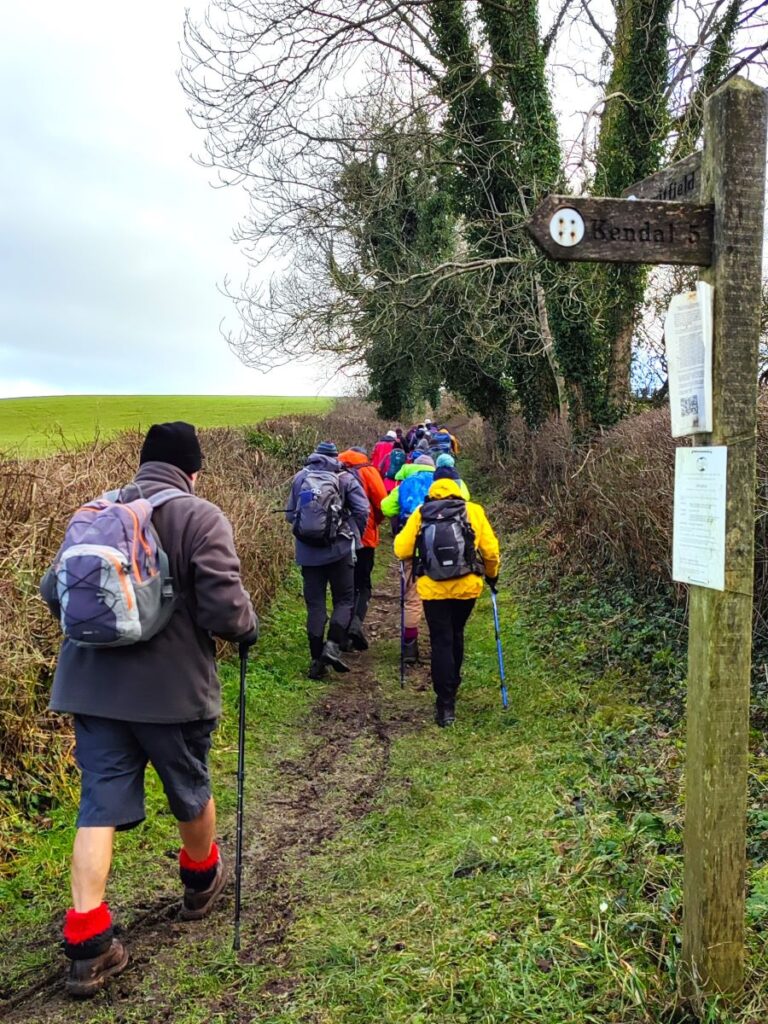
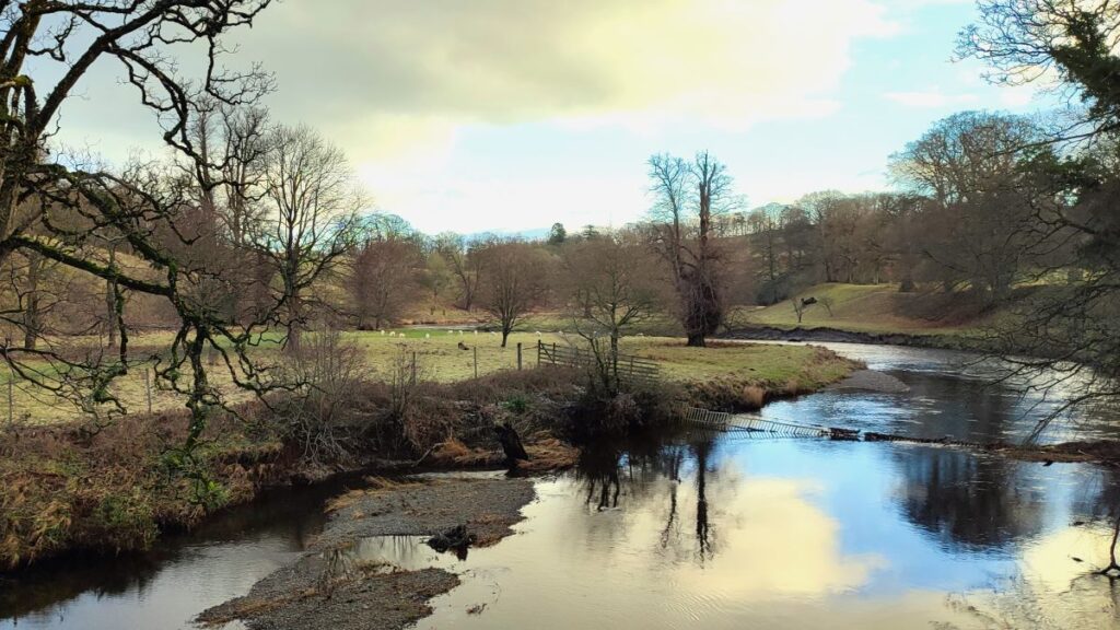
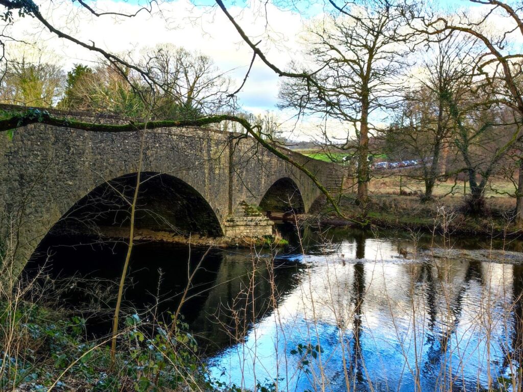
We set off by crossing the road and heading downhill toward Levens Bridge. This dates back to the 17th century, and it is Grade II listed – although the structure we see now is largely a result of re-builds in the 18th and 19th centuries. From a walker’s point of view, the bridge is not especially remarkable, but it does offer good views of the river Kent as it flows through the Levens Hall Deer Park – a crisp frosty winter day presents a particularly good perspective.

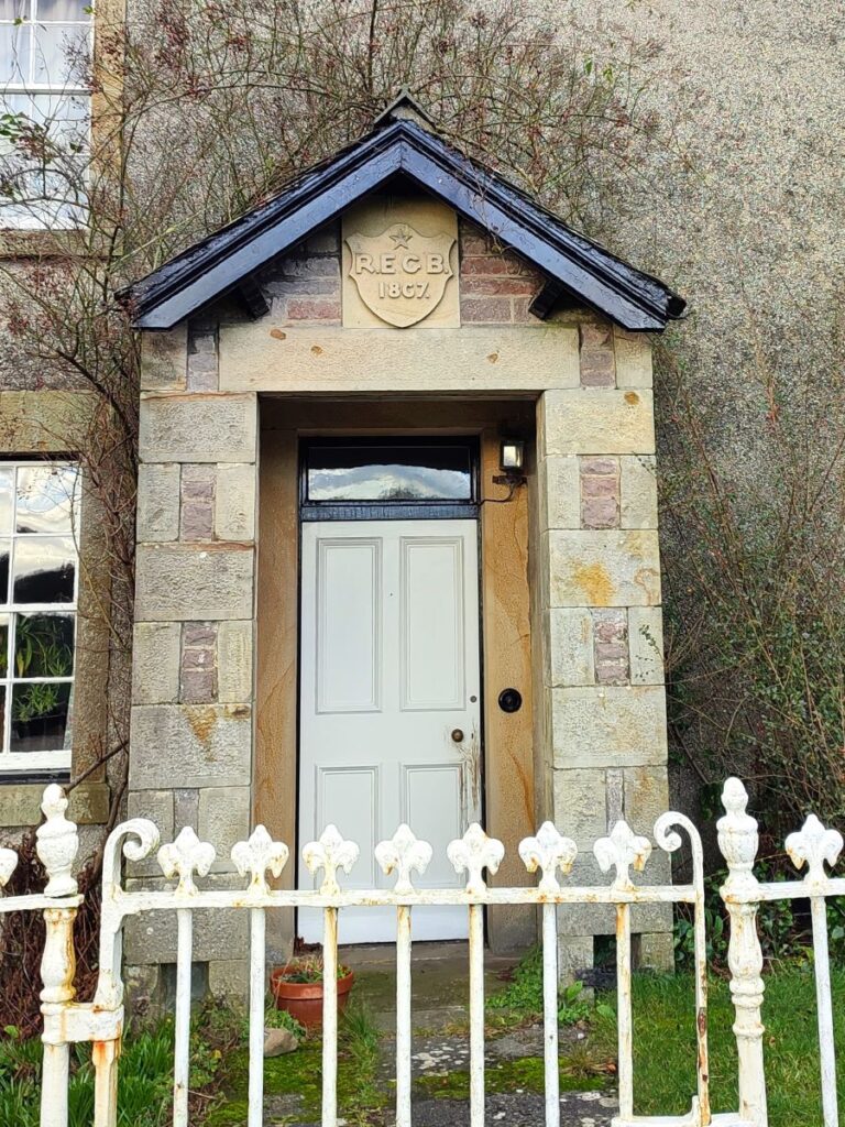
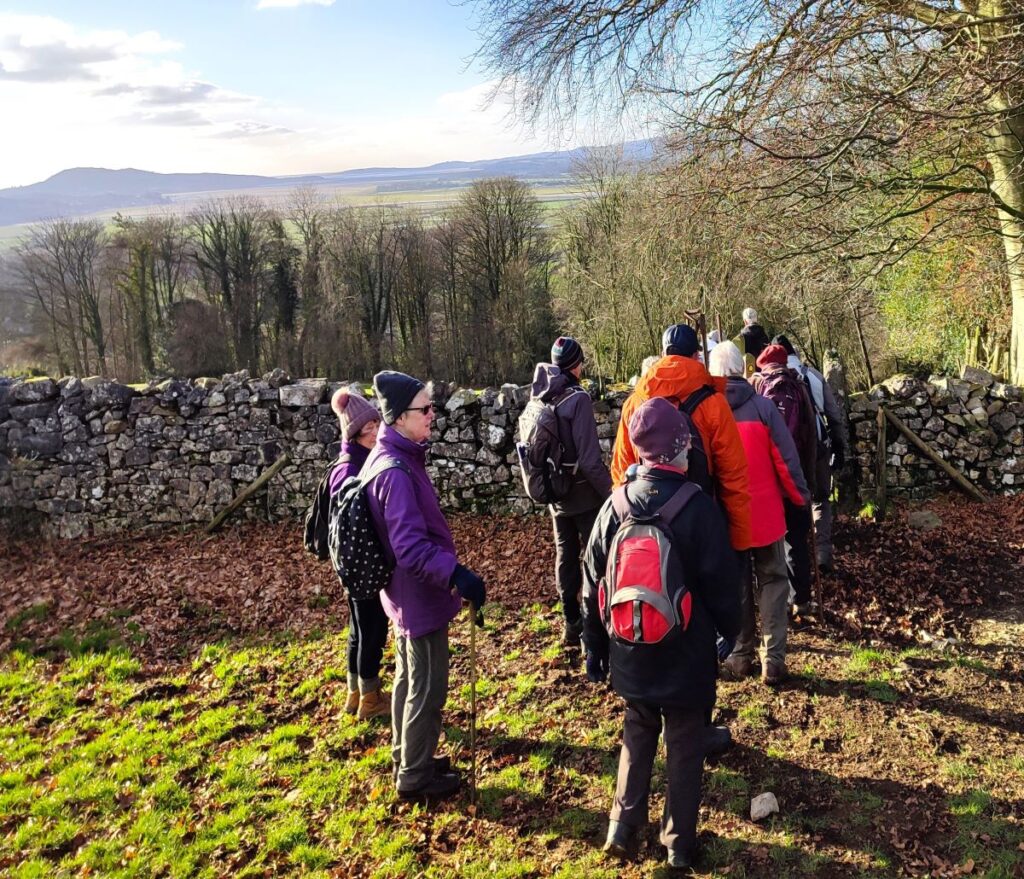
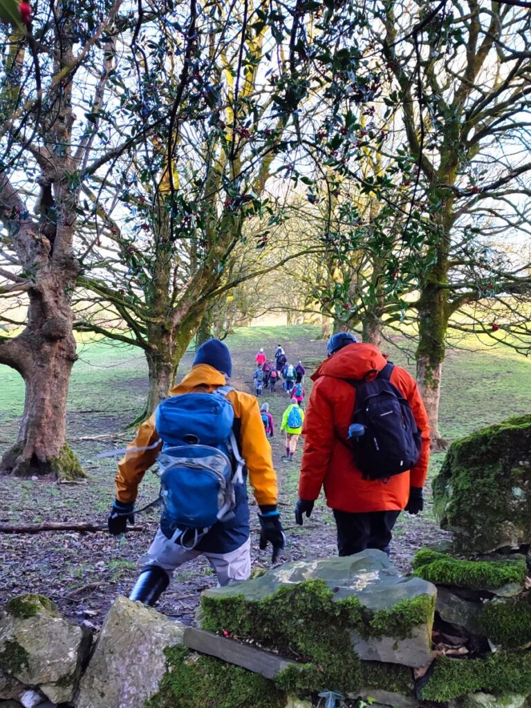
Just beyond the bridge there is a pedestrian entrance to the deer park which takes us onto a public footpath through the private grounds. The deer park belongs to Levens Hall – the entrance to which is right next to the bridge on the opposite side of the A6. Our walk takes us briefly past the Elizabethan manor house on our return leg, but there is relatively little to see above the high perimeter wall, so it’s worth noting that it is open to the public – click here for an unbiased description of the hall, and here for details of opening times and the things to see. To see a drone’s eye view of the Deer Park, try this YouTube link:
We take the path through the Deer Park and follow the river Kent upstream – it is worth knowing that there is a public footpath on each side of the Kent, and it’s important to use the one on the right bank (when heading upstream). Don’t be tempted to use the left hand path – it’s a good walk, but there is no connection with our onward route as we leave the Deer Park.
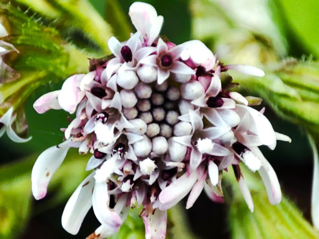
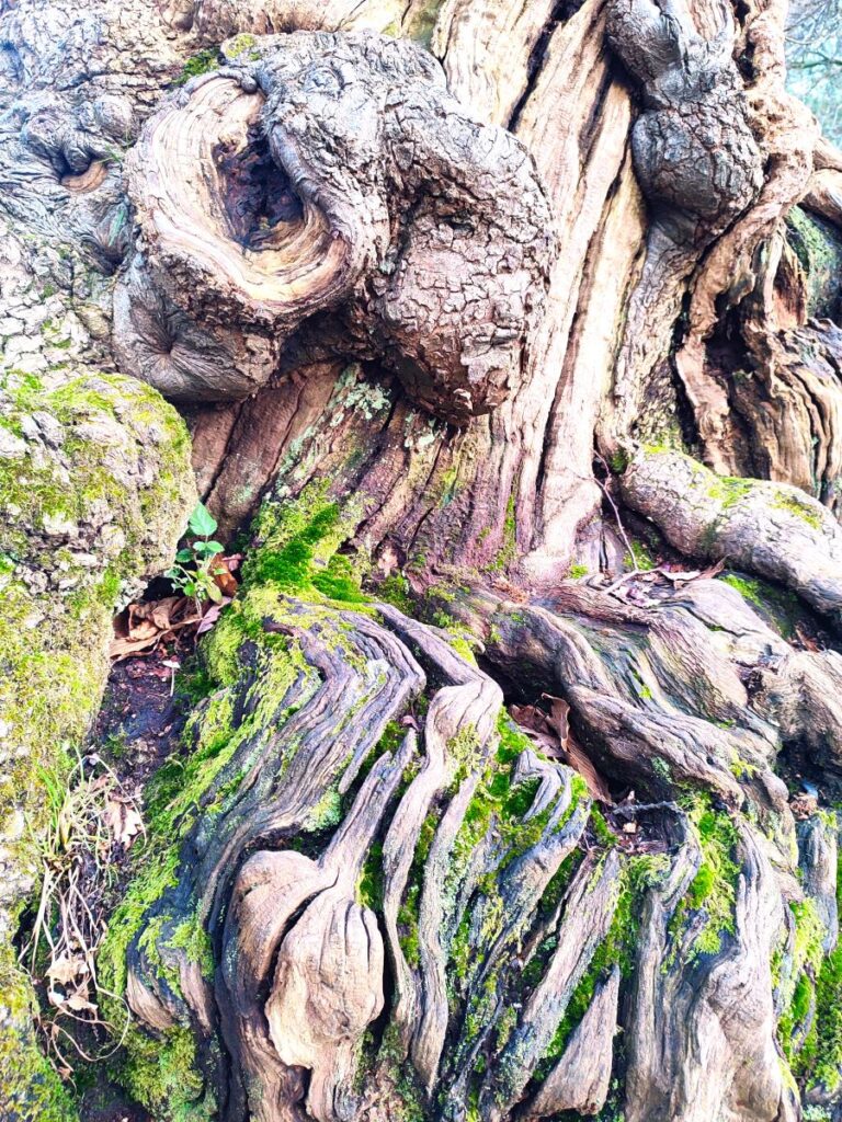
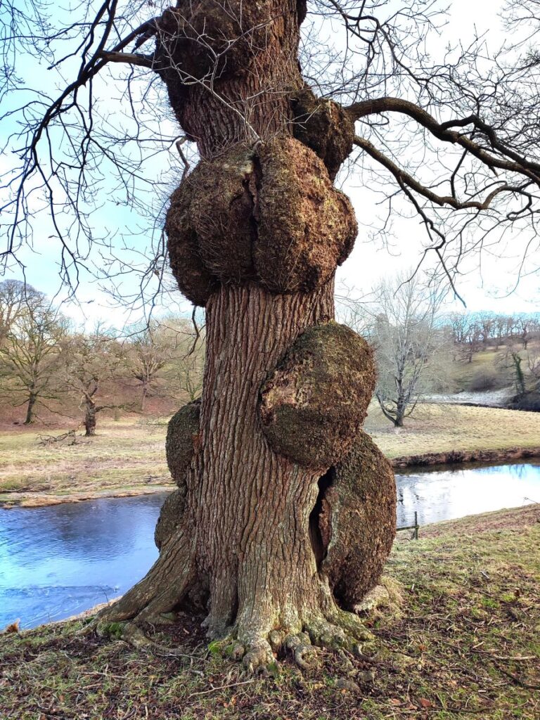
The park features many magnificent specimen trees and was landscaped some 300 years ago at the same time as the gardens of the main house. It hosts a herd of black fallow deer, along with rare-breed Bagot goats. With their distinctive white coats, black faces and large curved horns, the goats are believed to be Britain’s oldest breed of goat with a documented ancestry. On the day of our walk, we saw goats on the left bank of the Kent, and deer on the right bank, close to where we were walking.
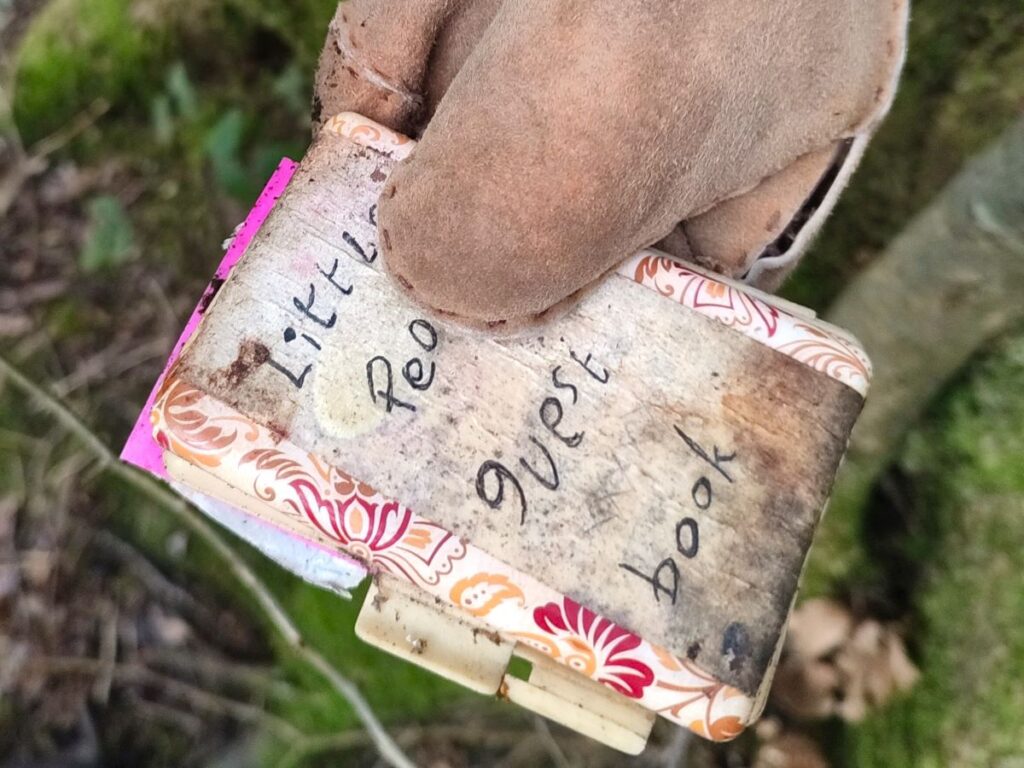
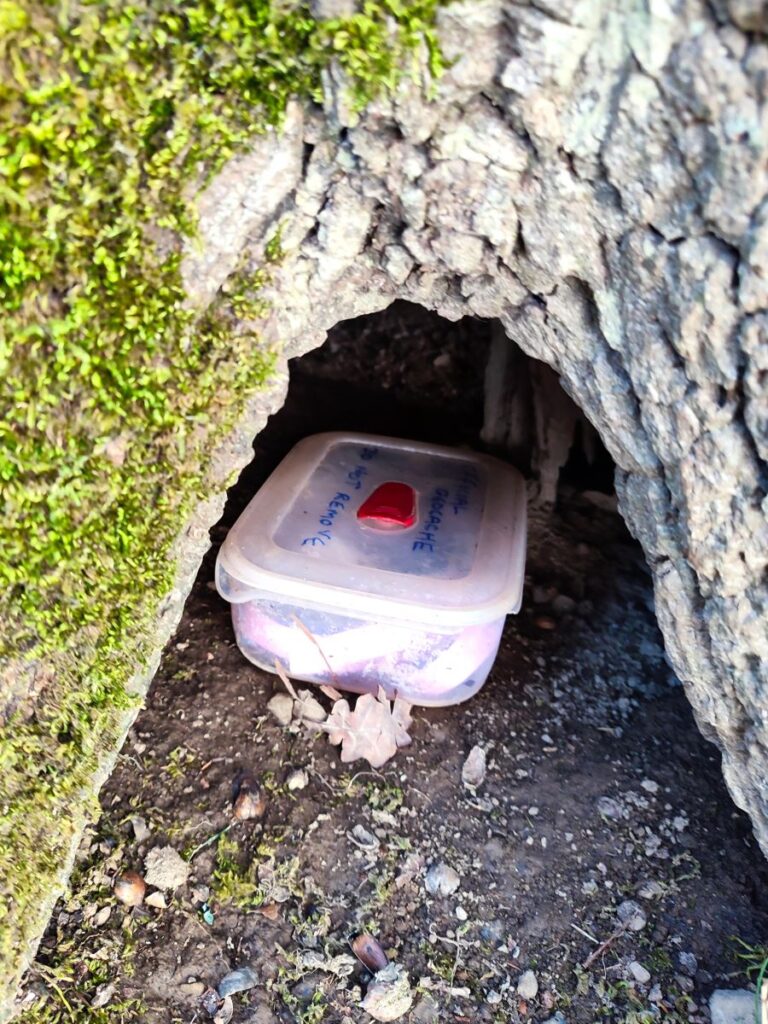
The deer park is very popular with families as a recreational area – and is often using in geocaching trails – so if you notice a partially hidden geocache, please leave it in situ. To find out more about geocaching, a real world treasure hunting game, click here to find out more.
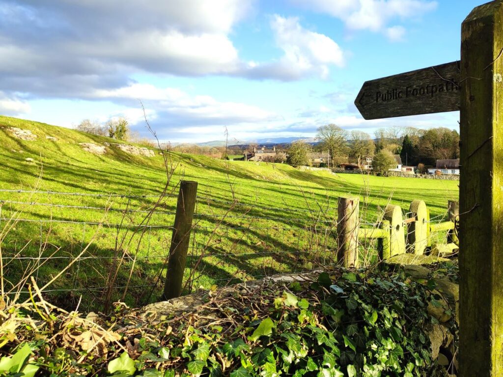
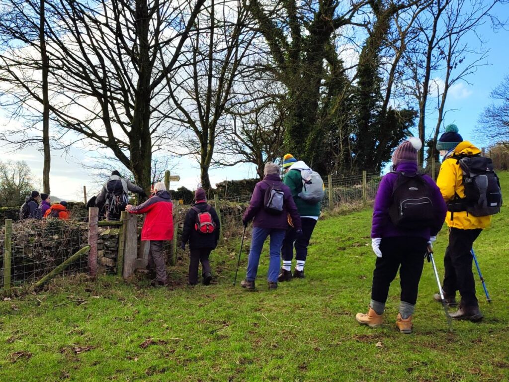
At the end of the 1km path through the park, we arrive at a gate and exit onto a minor road. From here we head right, walking along the road for a short while – the road is generally quiet, but there is no pavement, so care is needed. After 400m, we see a footpath sign on the left hand side of the road and take the path up to what was once a section of the Lancaster canal – it’s now dewatered so looks like a wide ditch, slowly being reclaimed by nature.

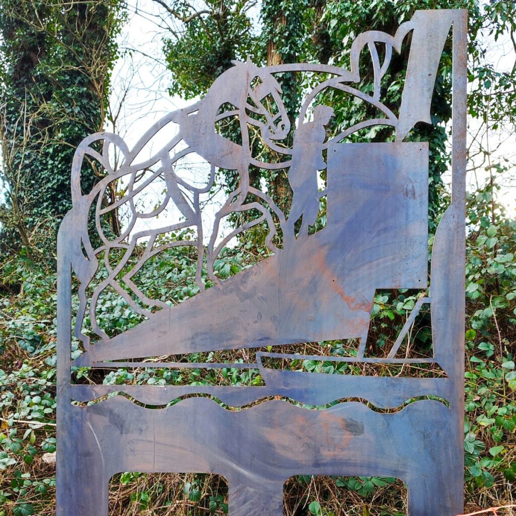
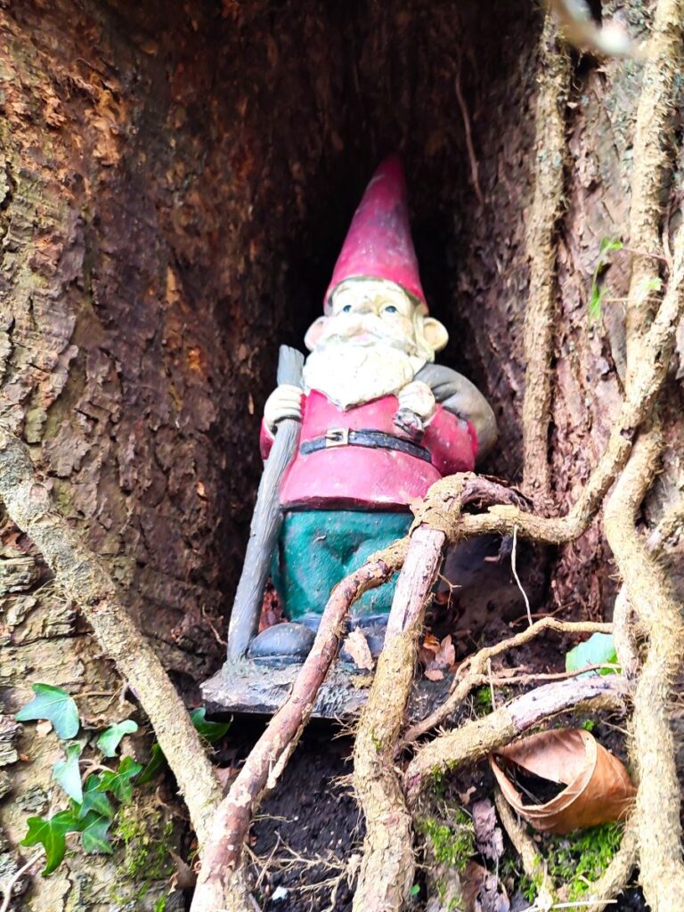
We remain parallel to the road for another 200m, passing a curious tree that is decorated as a gnome’s dwelling, and a site where an artwork is currently being installed; there was no signage to indicate the significance of the sculpture, hopefully an interpretation board will be part of the completed installation.
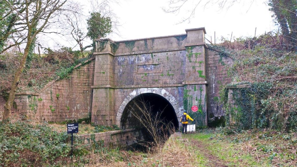
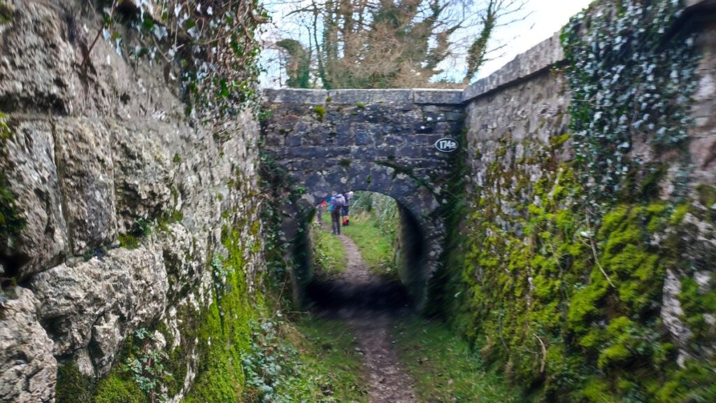
After a while the path takes a sharp left turn – as indeed the canal once did, and ahead of us is a hill. When canals were built, there were three options for dealing with a hill, avoid by taking a circuitous contoured route around it, build locks (and a water supply to them) to take the canal up and over, or as was chosen here, bore a tunnel through it.
The tunnel is known as the Hincaster tunnel – the name comes from the nearby Hincaster Hall – curiously the hill that it passes through is referred to on the OS map as tunnel hill, rather suggesting that the hill did not have a specific name until the tunnel made it more noteworthy.
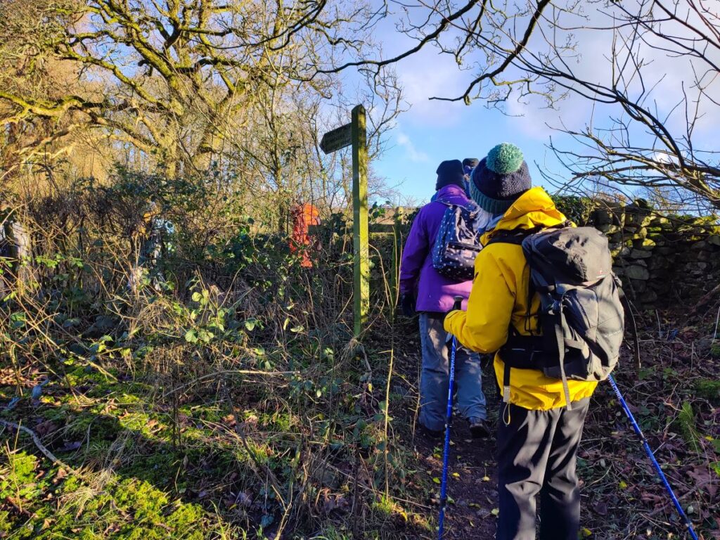
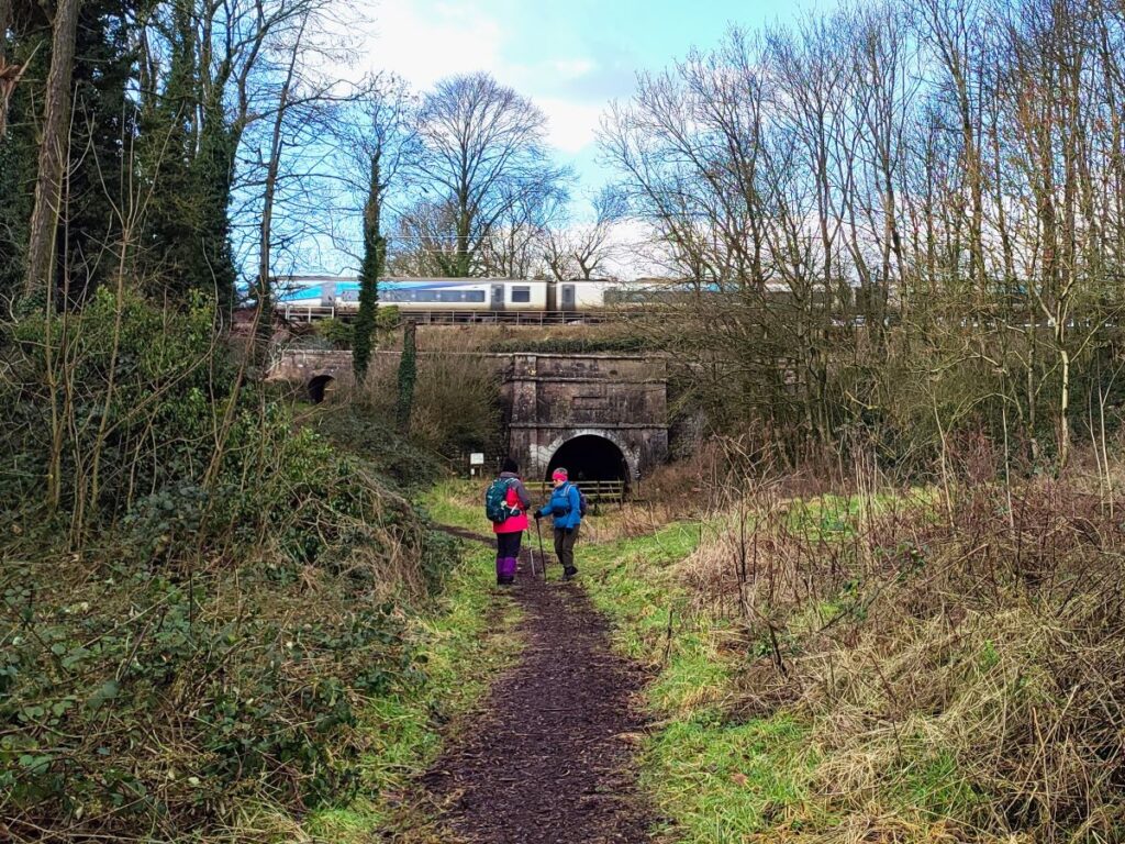
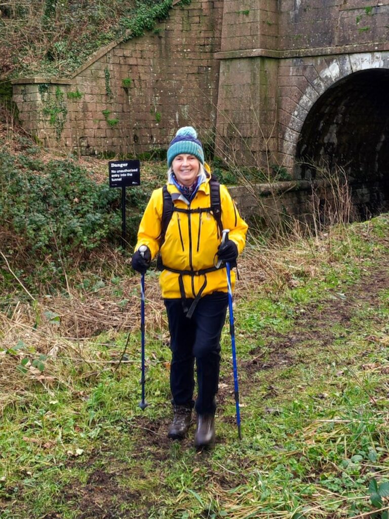
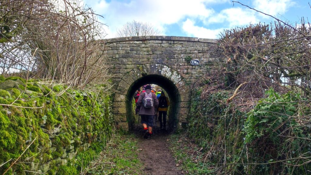
The tunnel is quite short (378 yds), and it was therefore viable to move boats through by pulling on chains attached to the side of the lining – for this reason there is no route through for either pedestrians or the horses that pulled the boats as far as the tunnel portal. To get the horse to the other side of the hill to meet the emerging boat, the canal company provided a specific access path – which is now a public footpath. That’s how we get to the other side of the tunnel – head right just before the portal and follow the path uphill, then head sharp left and follow the track over the hill, passing under a couple of bridges where a road and then the West Coast Main Line cross our route. For more detail on the tunnel, click here.

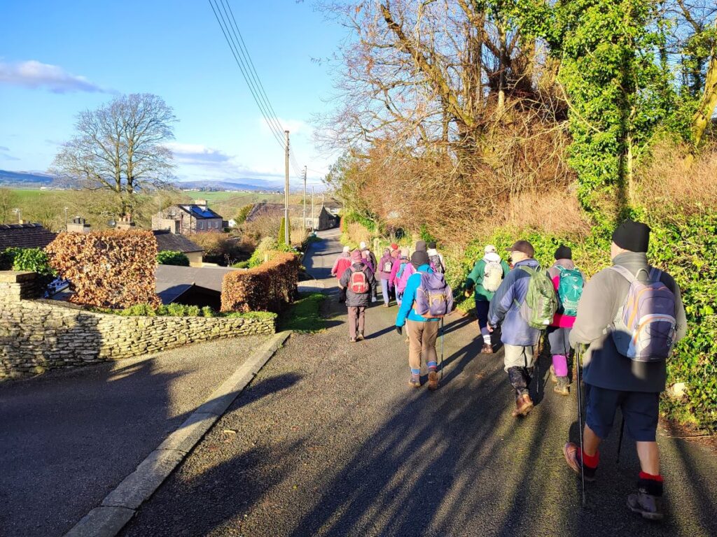
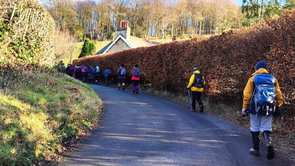
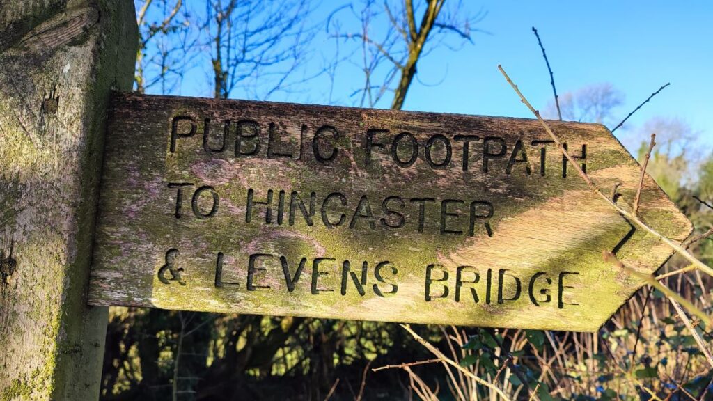
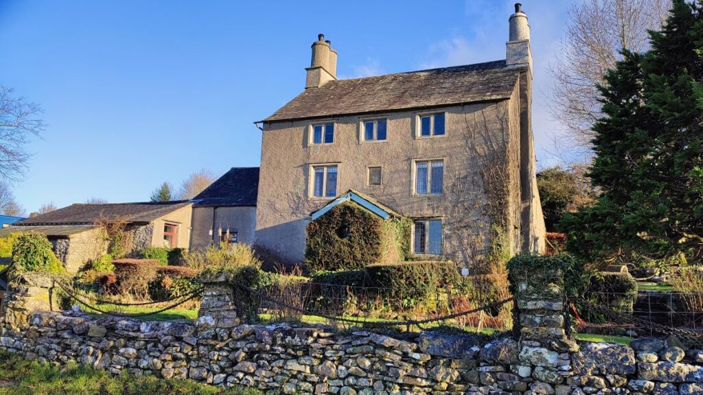
At the far end of the tunnel, the path continues down to a minor road where we turn right and walk south for 200m to find a road junction where we go sharp right to walk west toward Hincaster. Having passed under a railway bridge carrying the West Coast Mainline, we soon arrive at the village where we are greeted with a pleasant village green and an assortment of old houses, some cottages and others rather grand -although now divided into smaller dwellings.
The suffix “caster” is often associated with Roman settlements, a few coin finds have been made but other than this there is no evidence of a Roman town here.
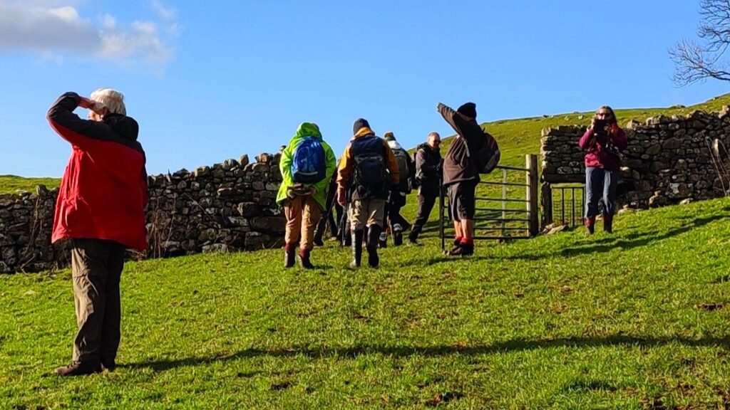
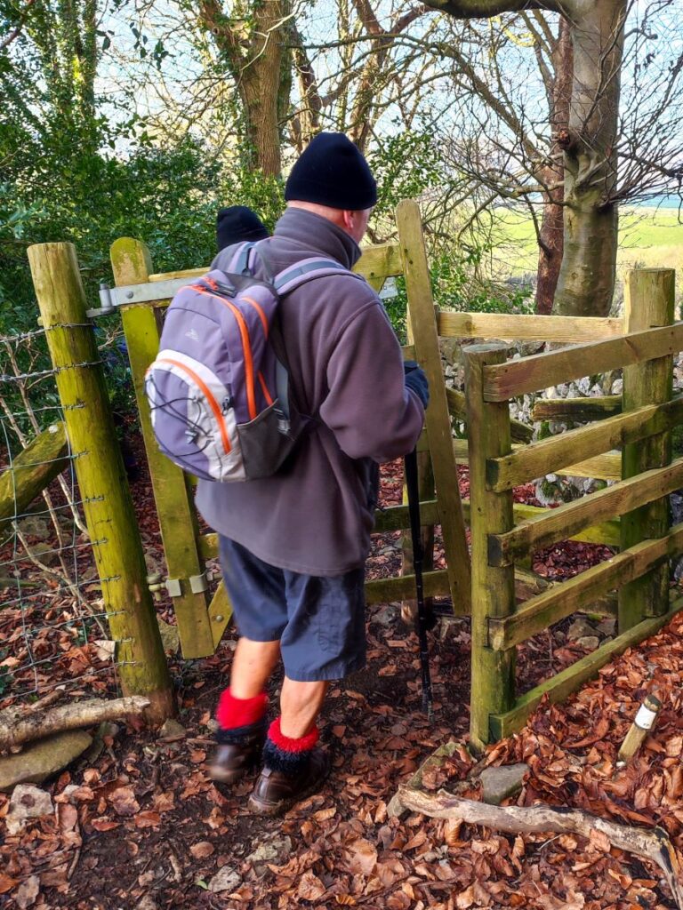
As we walk through Hincaster, the road bears left to merge with another, and we follow it round until we are heading south toward Greenside. We stay on the road for a while now (perhaps 400m from the green at Hincaster) before we see a stile on the right which takes us to a path cutting the corner of a field at the edge of Greenside. We cross to a second stile which takes us onto a very quiet lane where we head right and climb for a while – If you miss that first stile, you will arrive at a T junction, and can get back on track by heading right.
We stay on this road for only 50m before we see the path exit on the left – some care is needed here, there is a farm track to a gate that looks like it ought to be the correct route – in fact the footpath is just to the left of this.

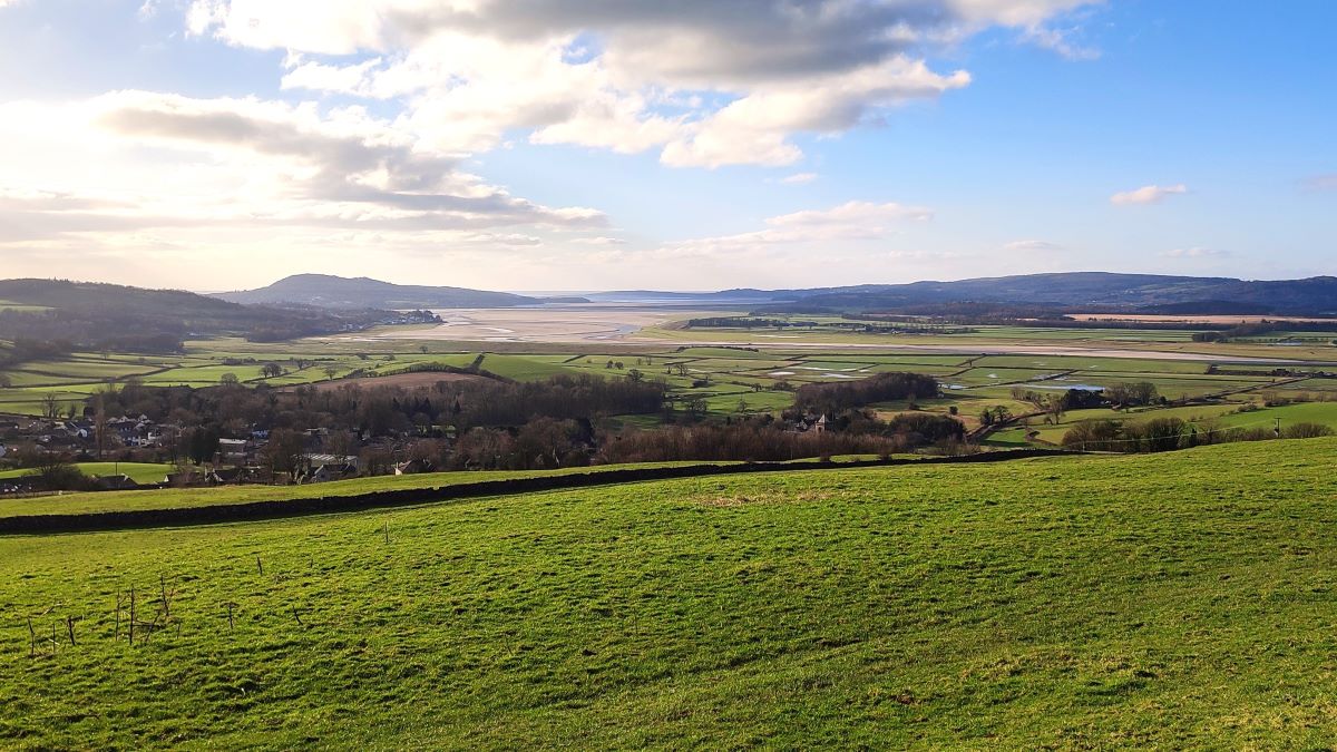
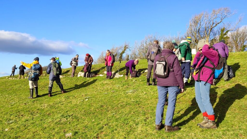
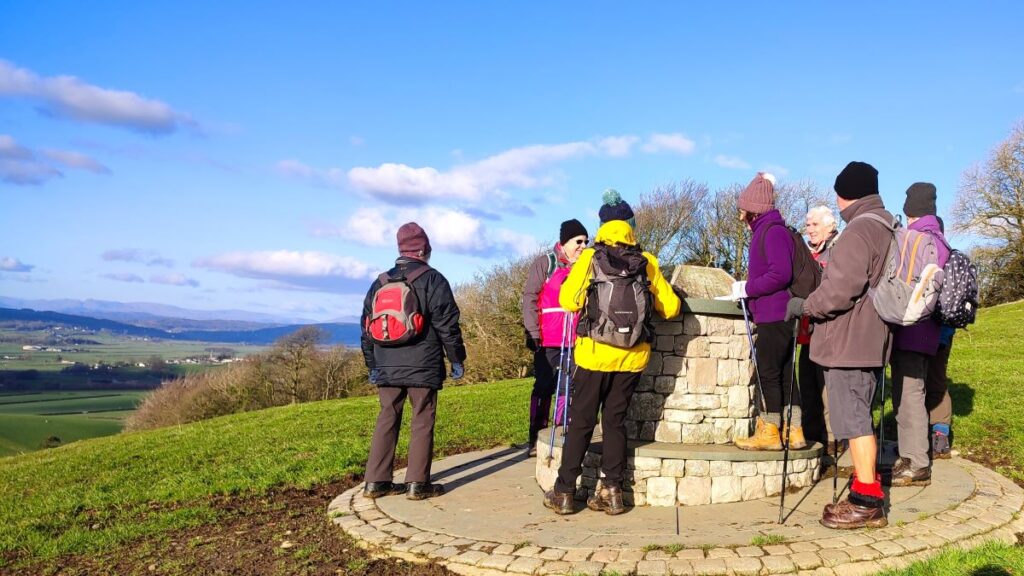
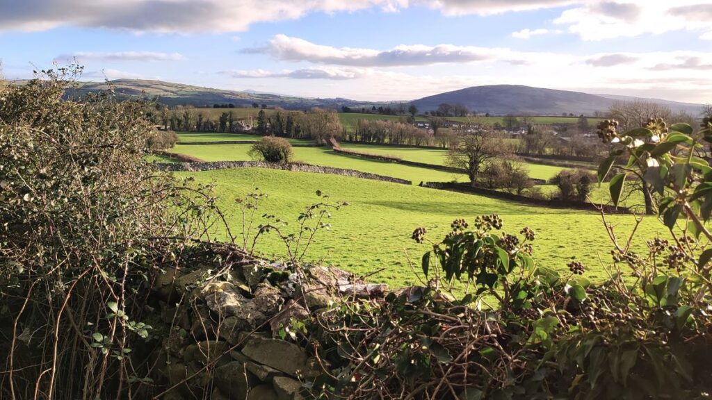
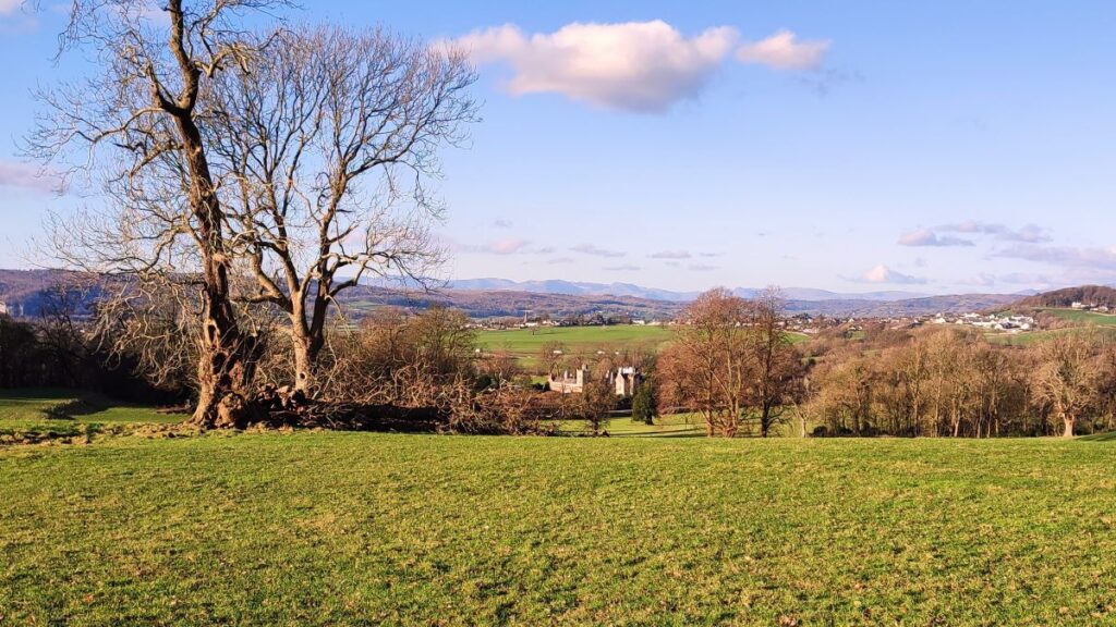
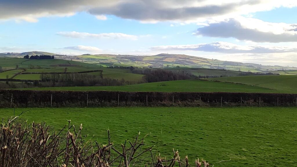
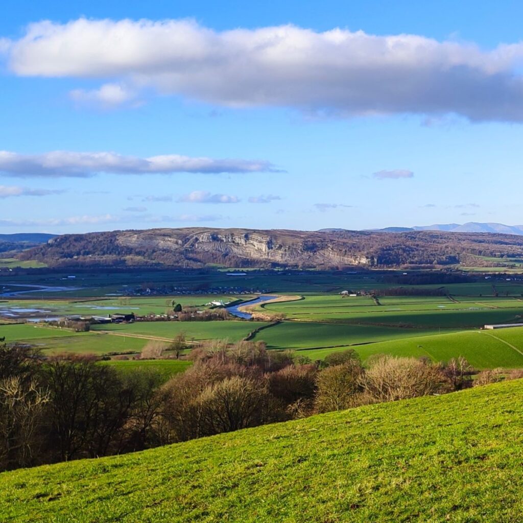
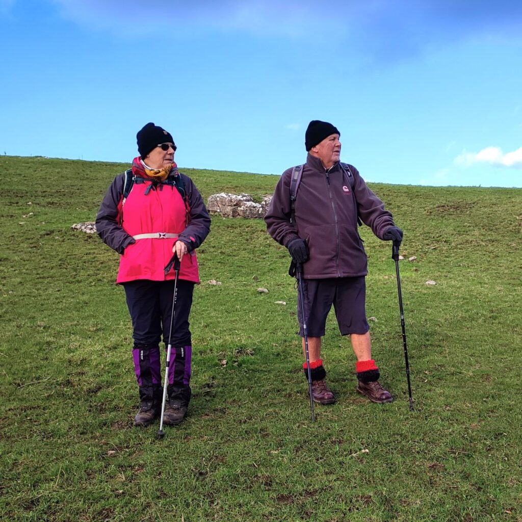
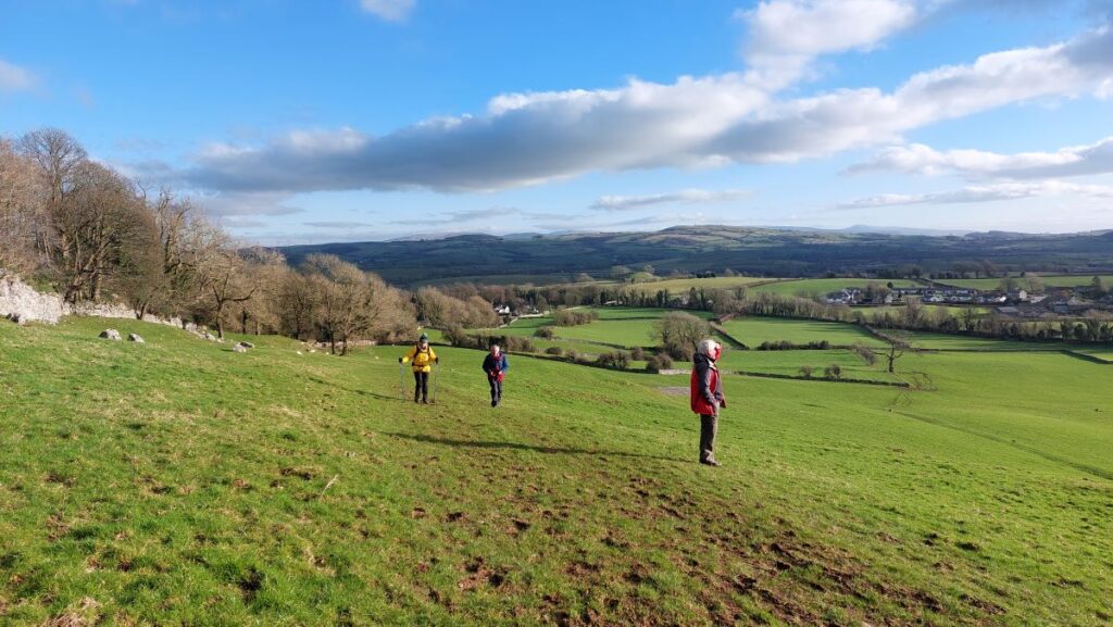
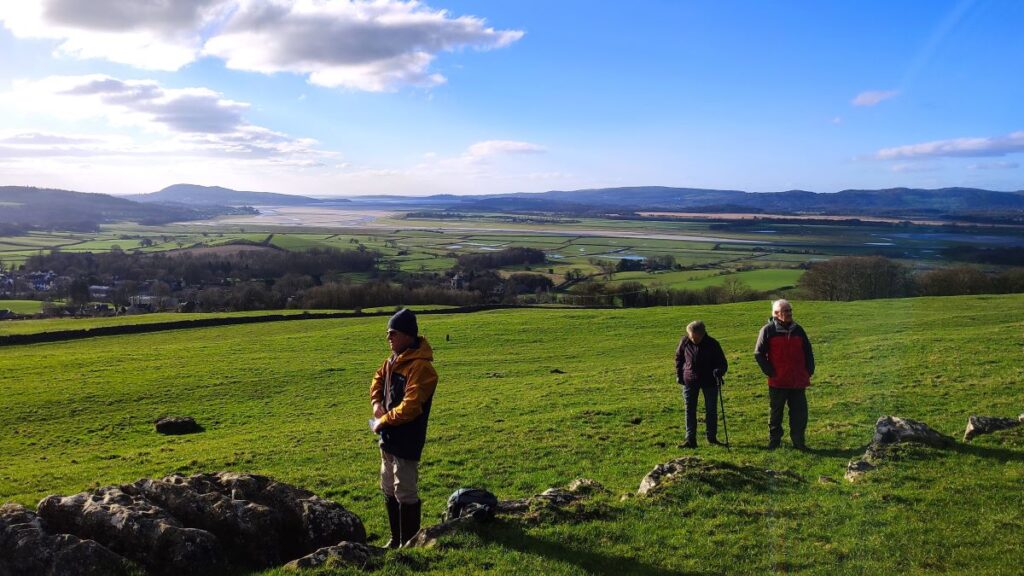
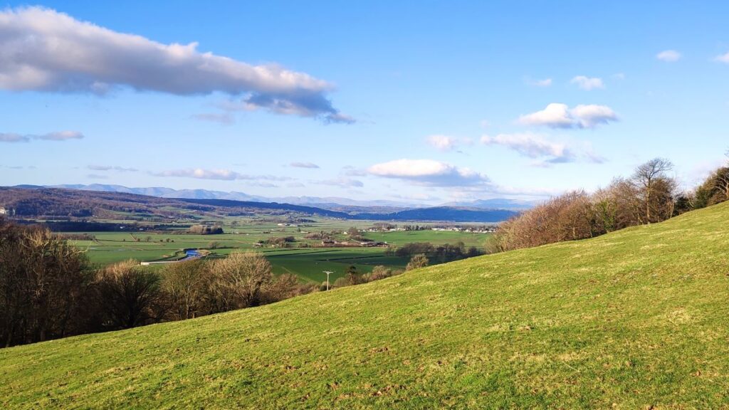
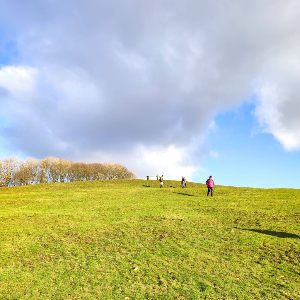
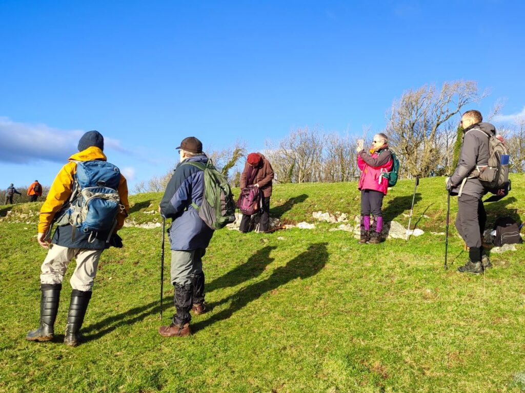
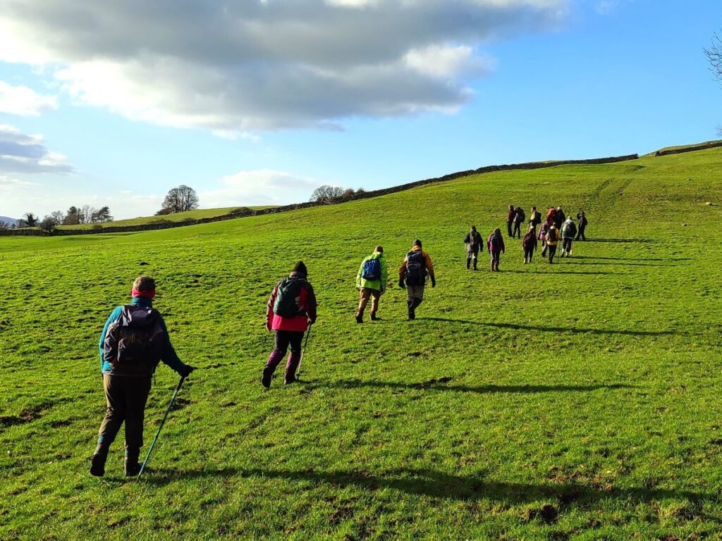
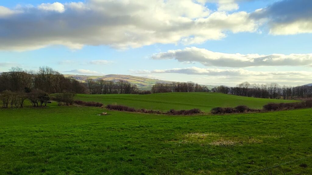
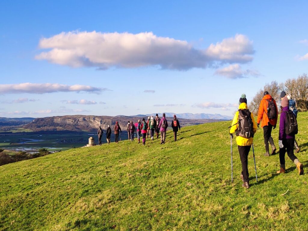
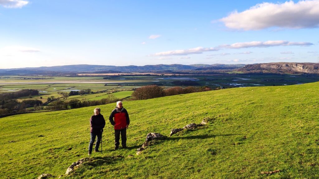
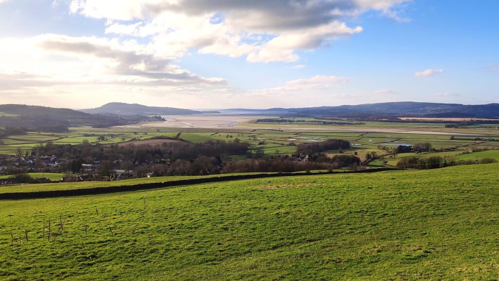
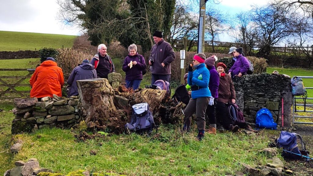
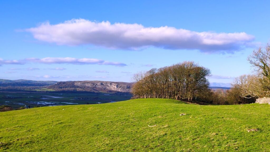
From here the view changes quite noticeably – we have exited the trees and now have great long range views over to Farleton Fell with Ingleborough visible in the distance. We now head uphill toward the top of Heversham Head, keeping the wall to our left, and as we climb, the views just get better, until at the top, the Kent estuary and the Lakeland fells emerge. The only sensible thing to do here is sit down and have lunch whilst we drink in this stunning visual treat.
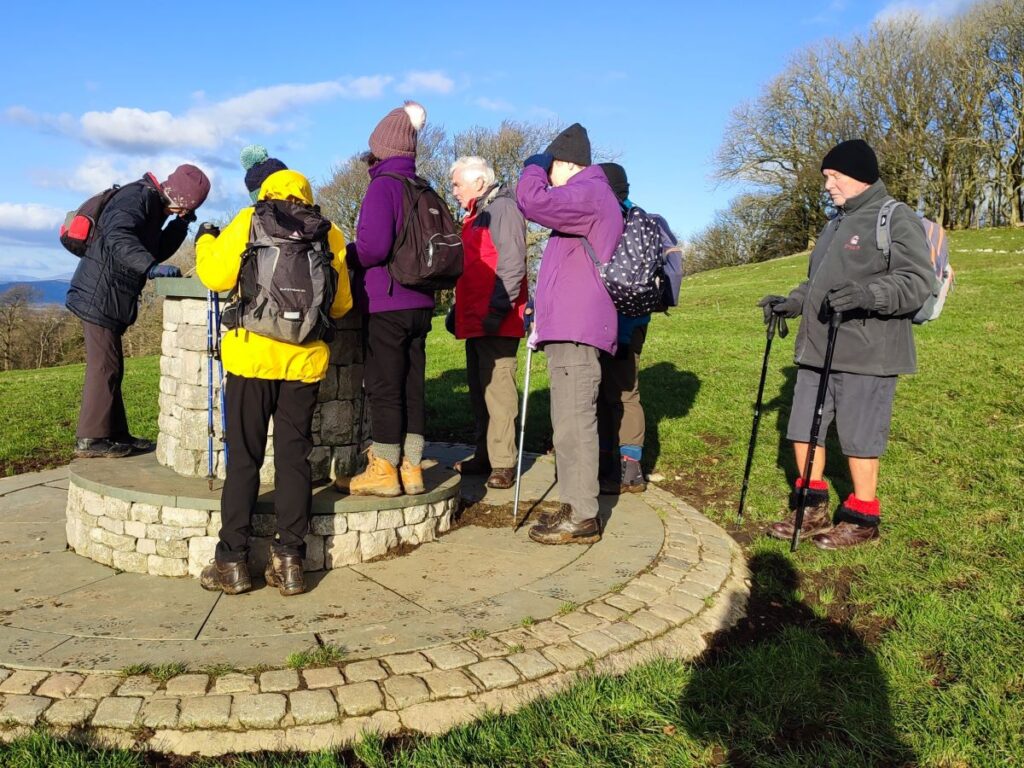
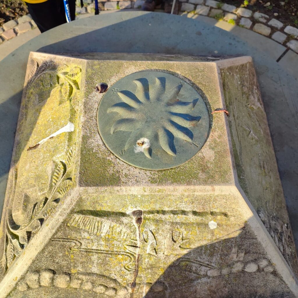
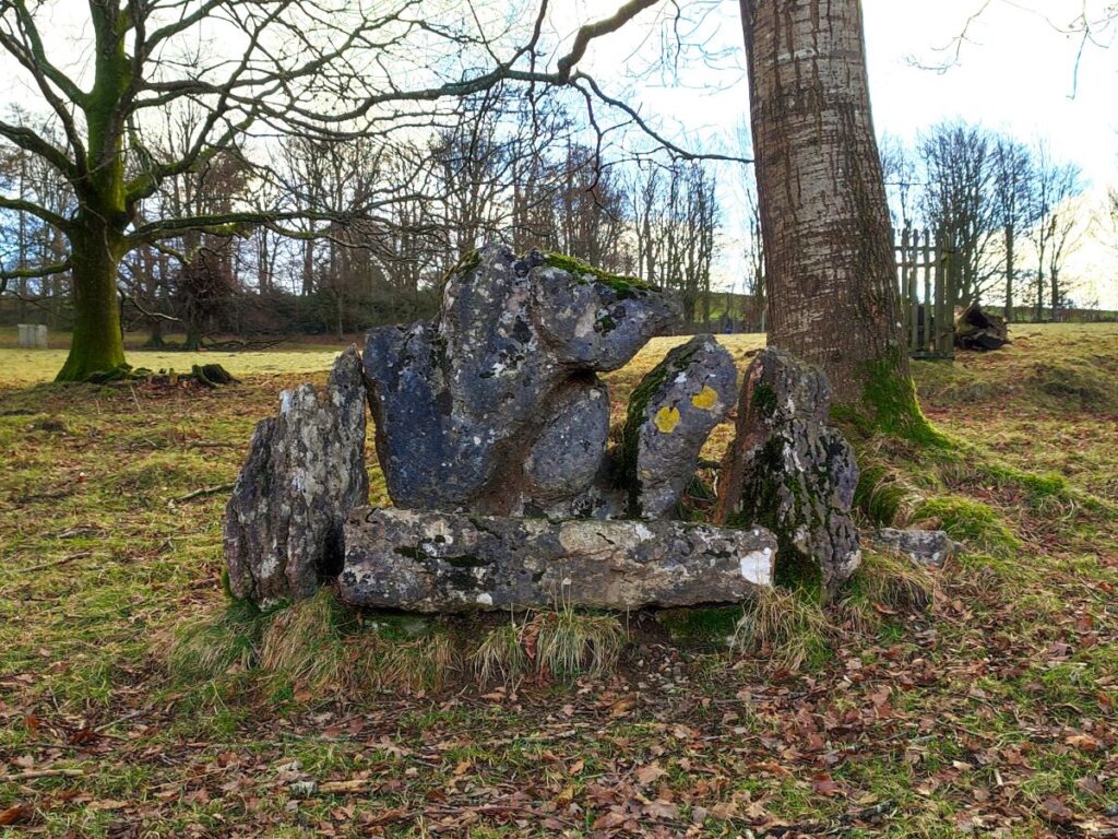
There is a trig point on Heversham head, indicating a spot height of 123m – the views belie this modest height though, and a quick glance at the nearby view marker soon shows; the coast, the Lakes, Ingleborough, a nuclear power station, St Anthony’s tower, Foulshaw moss, Whitbarrow scar, and much more can all be seen.
The view marker on Heversham Head was the result of a consultation carried out by the Parish Council amongst the residents of Heversham on the best way to celebrate the Millennium. The installation consists of an octagonal limestone column which carries a circular slate slab on which the profile of the views is etched and annotated. Above this is a limestone block carved in a representation of the views, a collaboration between the artist Lara Clahane and the sculptor, her husband, Danny above all of this is an inset slate compass.

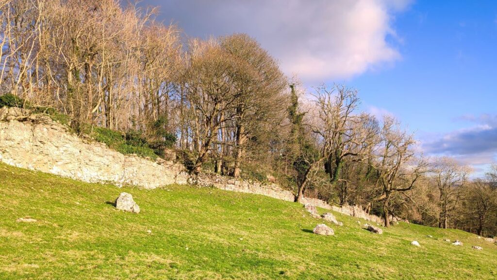
We now need to head back toward Levens bridge, and initially our route is downhill toward a gate in the drystone wall above Heversham. Once through this rather snug gate, we keep the wall at the edge of the woodland on our left and follow it down to a second gate – this one rather more comfortable, and then through the woods to a small road.
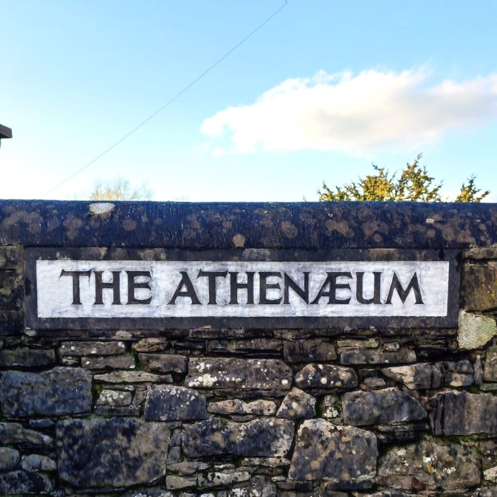
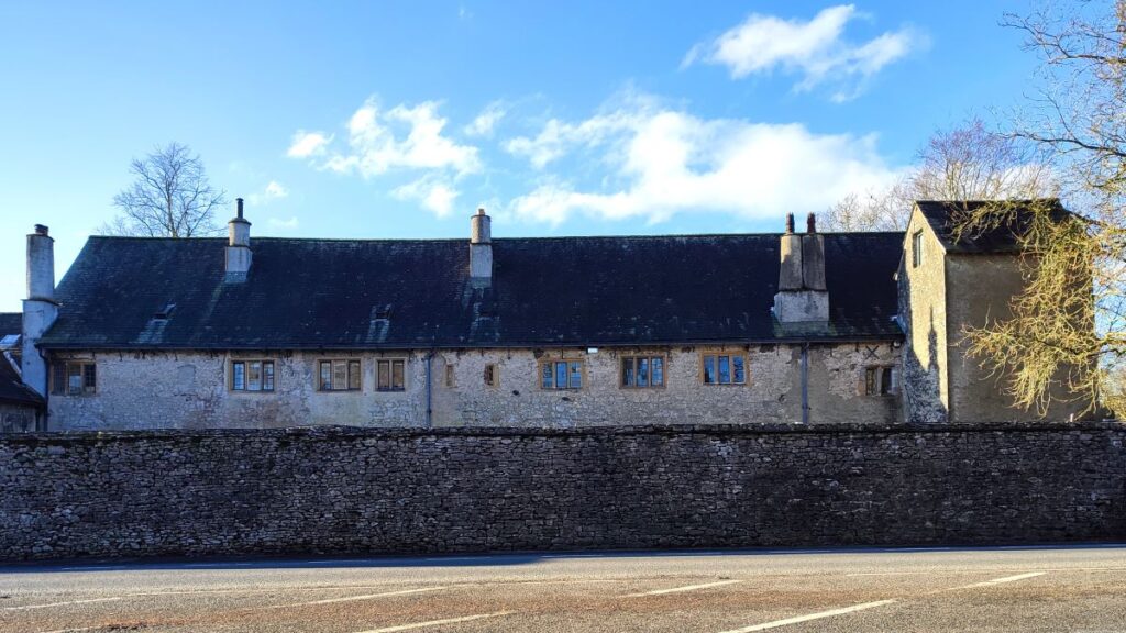
At the road we turn right and walk downhill into Leasgill where we note that many of the buildings carry name plates with the spelling Leasghyll. Another spelling that may catch the eye is the Athenaeum. Most people will associate this name with the Pall Mall based Gentleman’s club, but there are also a number of other similar clubs with this name including a rather opulent example in Liverpool to which members of the Argles family – rich shipping merchants belonged. The Argles family bequeathed a building to the community in Leasgill, initially as a penny reading library, and gave it the same name as their favourite club.
The Athenaeum is now run on a non-profit making basis by a Management Committee on the behalf of the Parish, and saw a major refurbishment in the late 1990s. It now provides a large hall which can take 100 with seating or 150 non-seated.
Just past the Athenaeum, we see a road on the right and follow this steeply up hill for about 150m until we find a stile on the left hand side of the road. This takes us through a tree lined path north to a delightful green lane where we head left. We stay on this green lane for only 50m though before we find a clearly signed path on the right which runs below the woodland as we head across level ground toward High Barns – don’t miss the views down to Levens Hall as we walk this section.
As the path approaches the farmhouse at High Barns, we see a concrete track heading down to ward Levens Hall – we take this track and follow it downhill and past a number of estate workshops until we arrive at the A6 just in front of the hall – you may notice some of the topiary for which the hall is famous above the perimeter wall.
We turn right at the main road and stroll up the A6 back to our starting point.