Jump to . . .Step by Step | OS Map | Downloads | Gallery | Fly through
Kendal styles itself as “The gateway to the Lakes”, and it is indeed a good base for those wishing to explore the southern end of the Lake District. The surrounding countryside also has much to offer in its own right– as we see in this walk.
From convenient parking close to Oxenholme station, we start by climbing the Helm, gaining great views of the Lakeland Fells, the Howgills, and Morecambe Bay. From there we descend past an ancient fort, and a curious folly to pick up St Sunday’s Beck which we follow upstream to the delightful Bleasehall Wood. We note a syphon well before taking an isolated green lane to St Sunday’s Bridge and from there we head to Hawkrigg. The return leg involves a brief but quite steep climb up the aptly named Windy Hill, and then it’s a steady descent to the finish. We show this as an easy walk because it is (just) less than 12 km – but the consensus from the group was that it “feels more like a medium”.
- Total distance 11.6 km (7.2 miles)
- Total ascent 271 m
- Easy walk
Step-by-Step

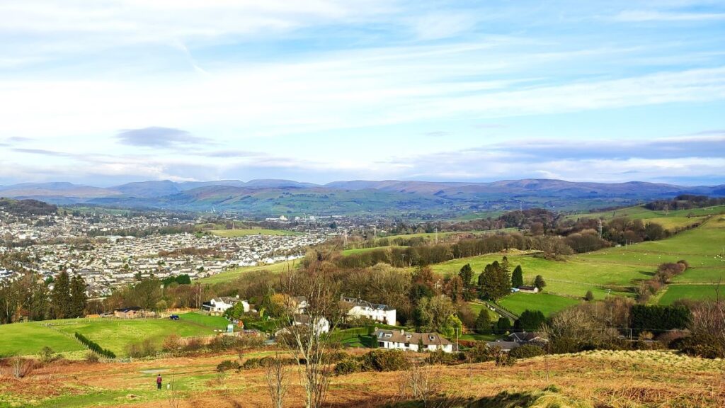
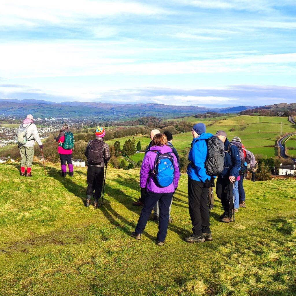
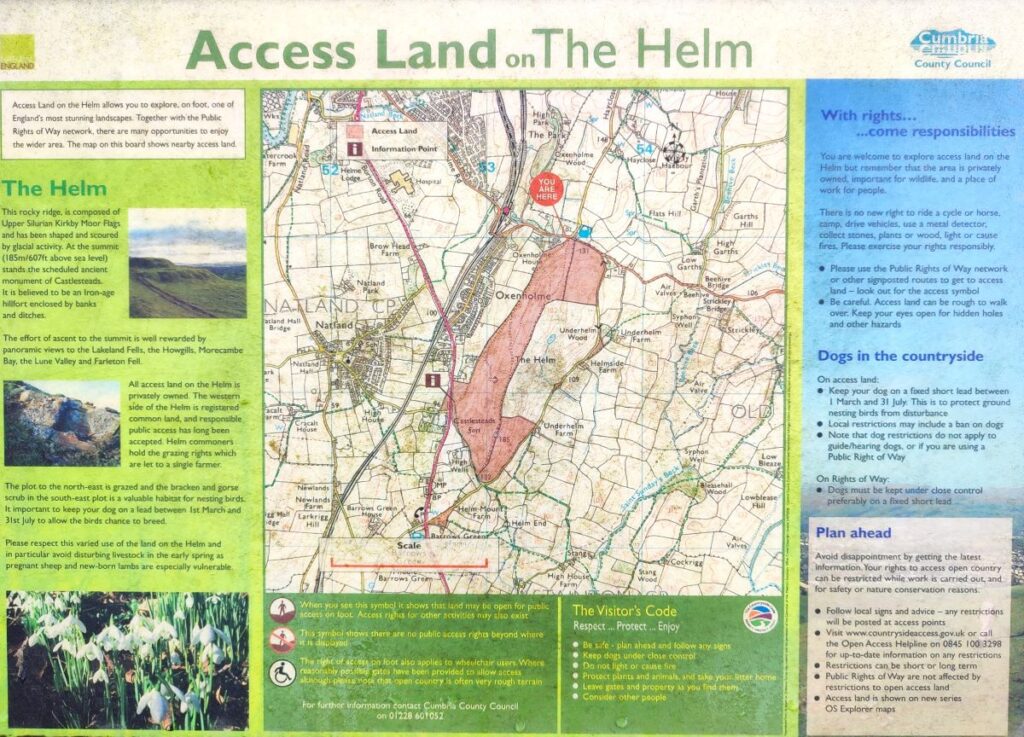
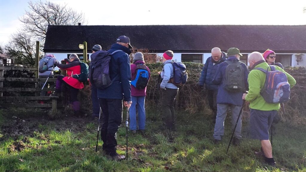
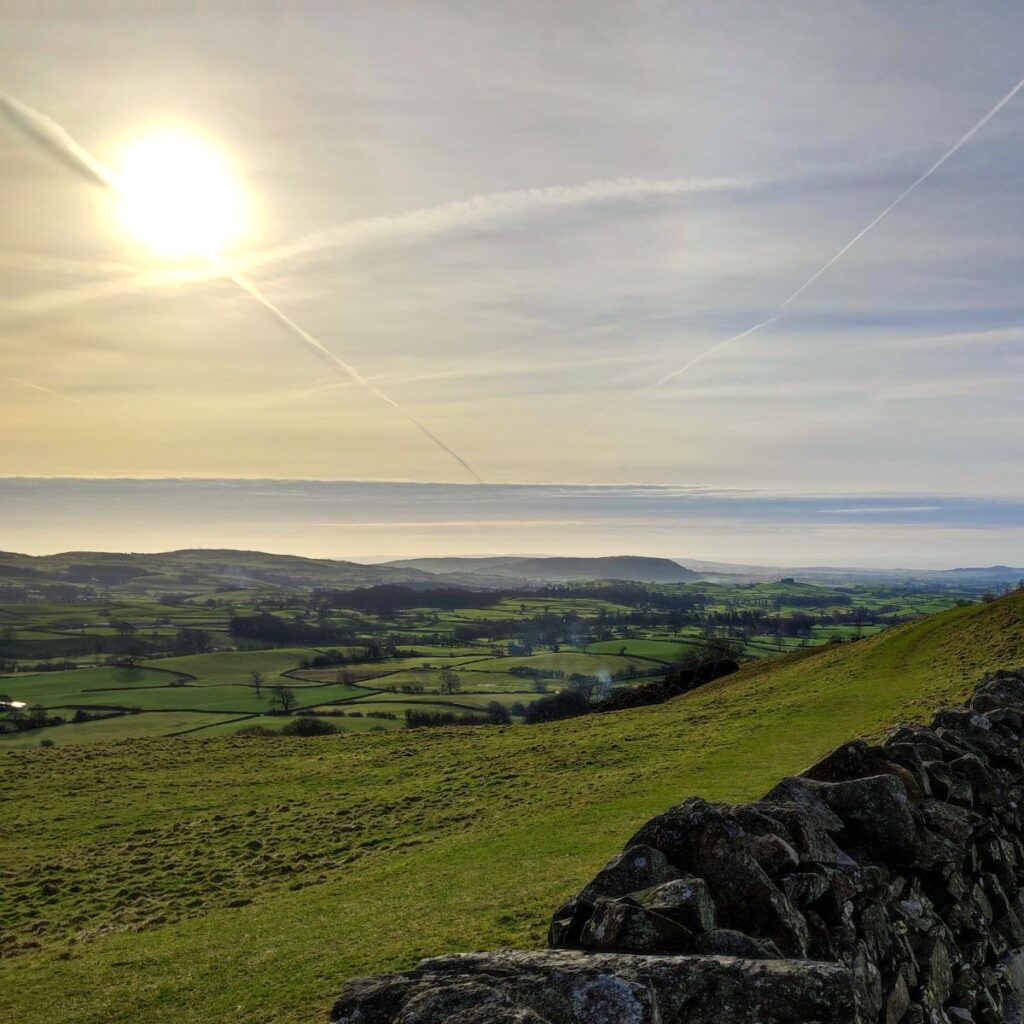
We start from the Helm – a well known hill just south of Kendal near Oxenholme – in fact this walk would be accessible from Oxenholme station. The Helm is found off the B6254 just southeast of Oxenholme. The easiest way to find it is to put “Station Inn Oxenholme LA9 7RF” into your Satnav and then take the very small lane opposite the pub – parking is just 100m up that lane. If you are using a paper map, then the OS grid reference is SD53528998, which corresponds to the What-3-Words tag tops.boxer.human. The Helm is a popular spot with families and dog walkers so be aware that parking could be in short supply at peak times.
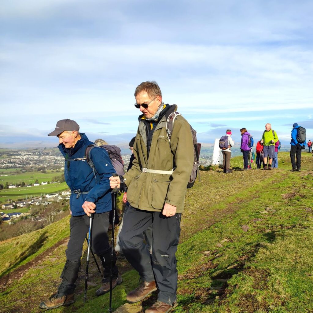
Although the Helm is a small hill (by Lake District standards) it is situated such that it offers great views in every direction from the top – no doubt the reason why an iron age fort was built there. Most of the Helm is Common Land owned by private landowners, but about a quarter of it – to the eastern flank – is owned by The Friends of the Lake District, a charity focused on preserving the unique landscape of the Lake District. In addition to the Helm, they own and actively manage a number of well-known sites that Bentham Footpath Group have visited including Asby Common near Orton and Mike’s Wood near Staveley. To find out more about this proactive group, click here
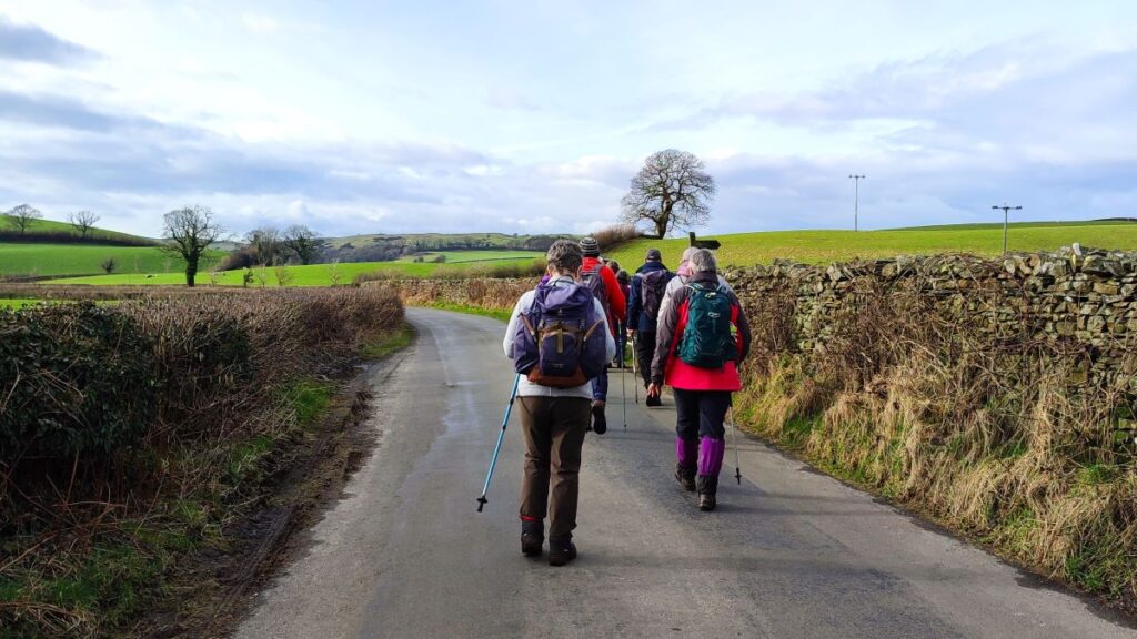
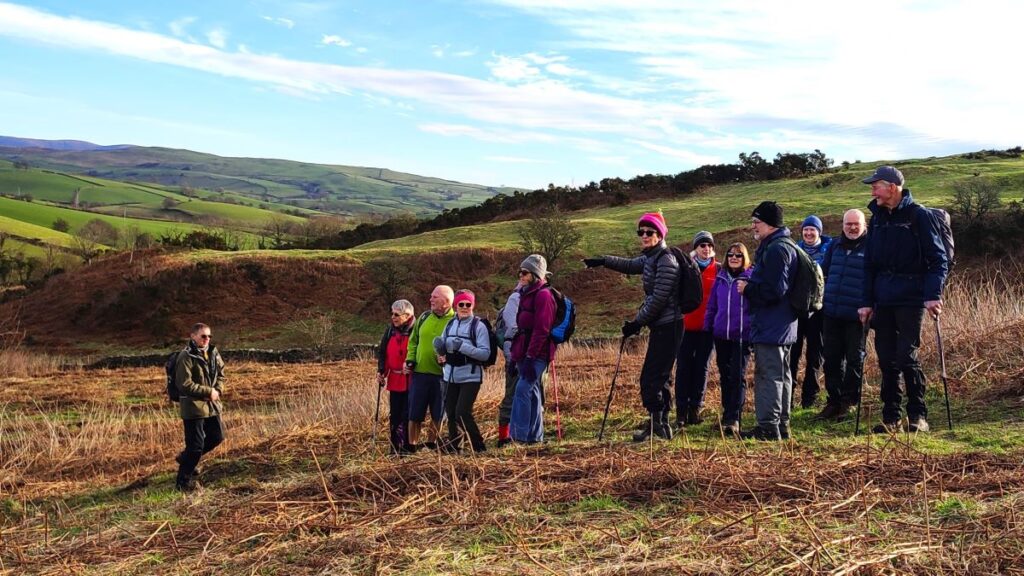
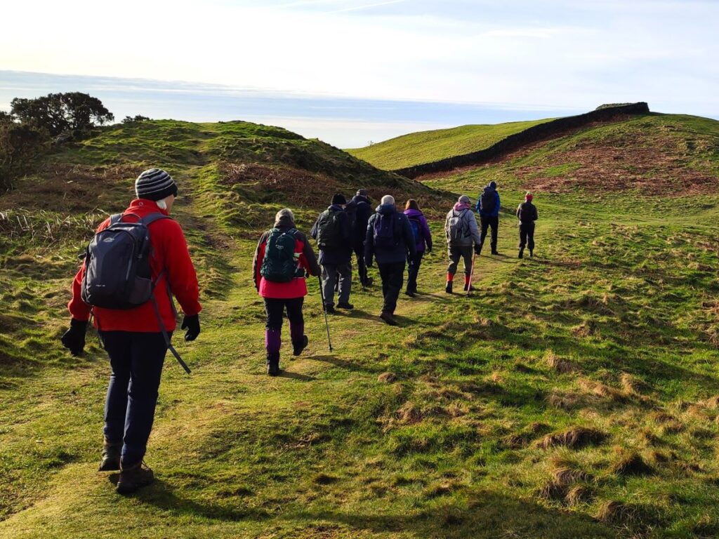
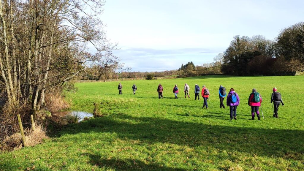
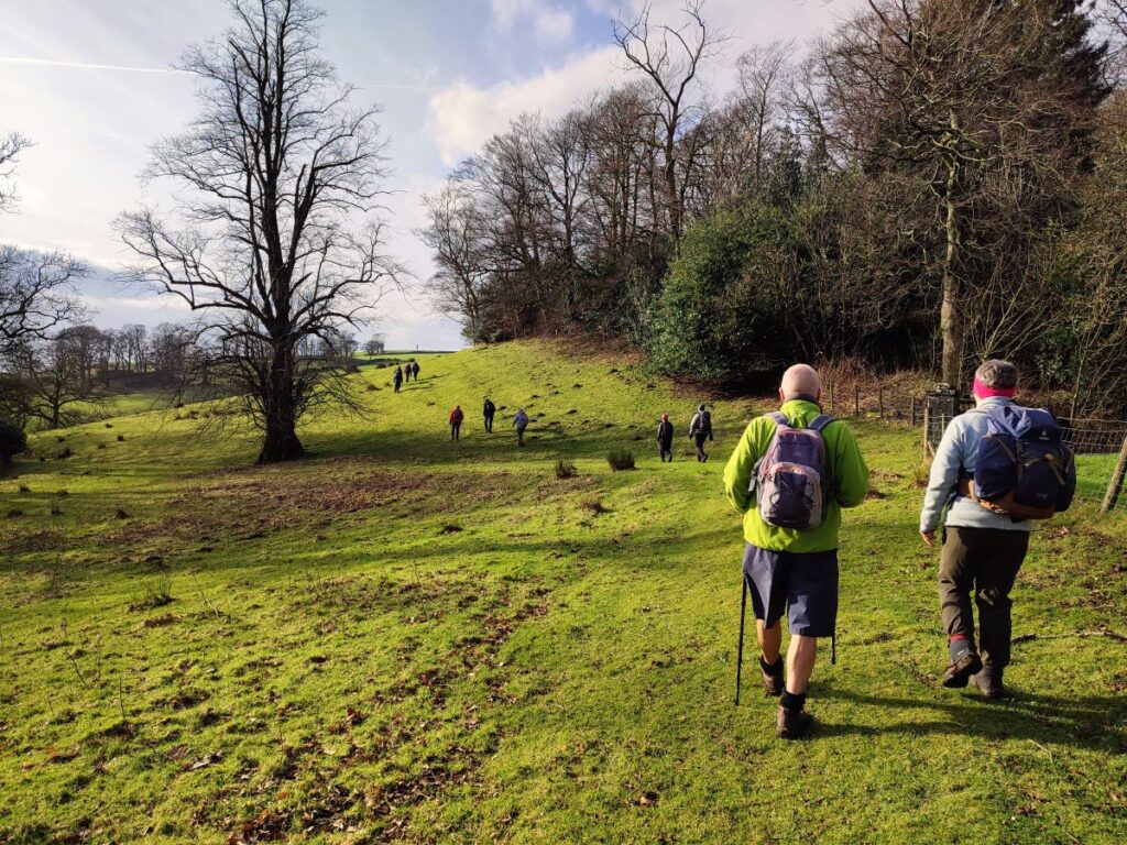
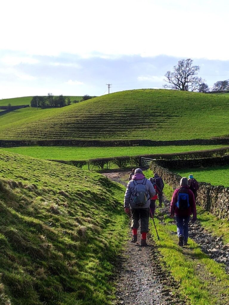
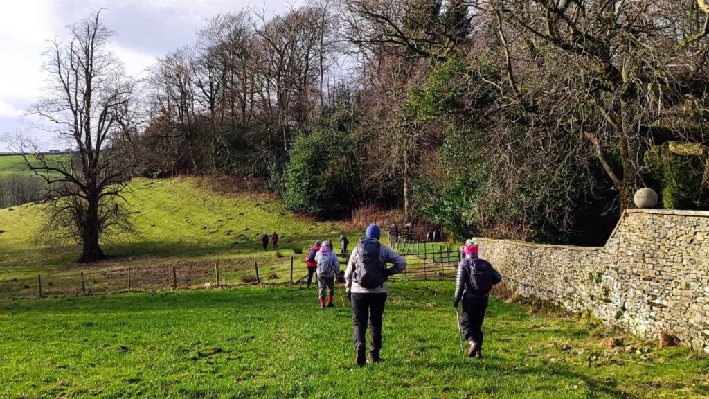
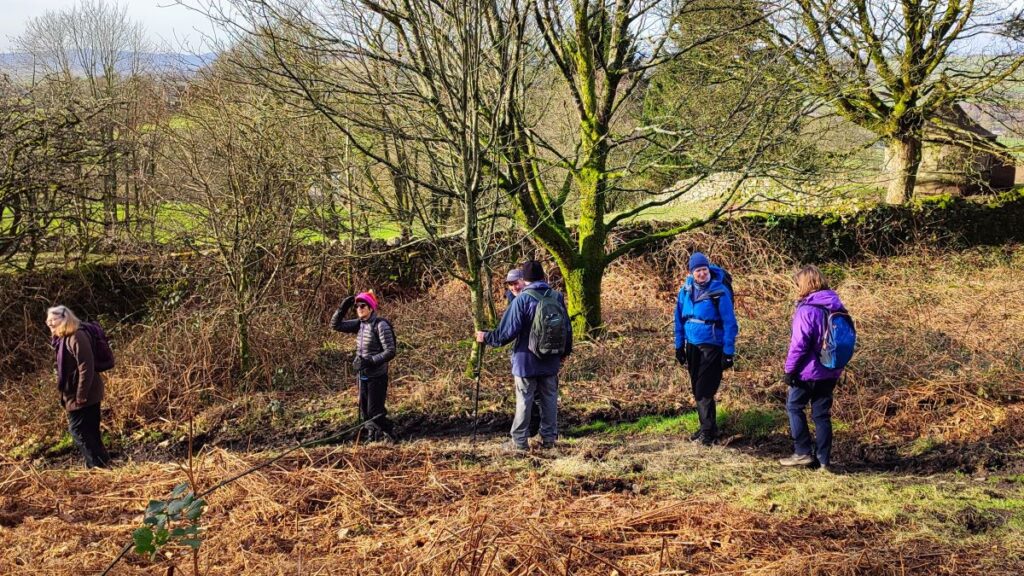
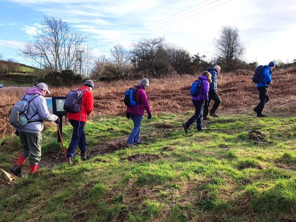
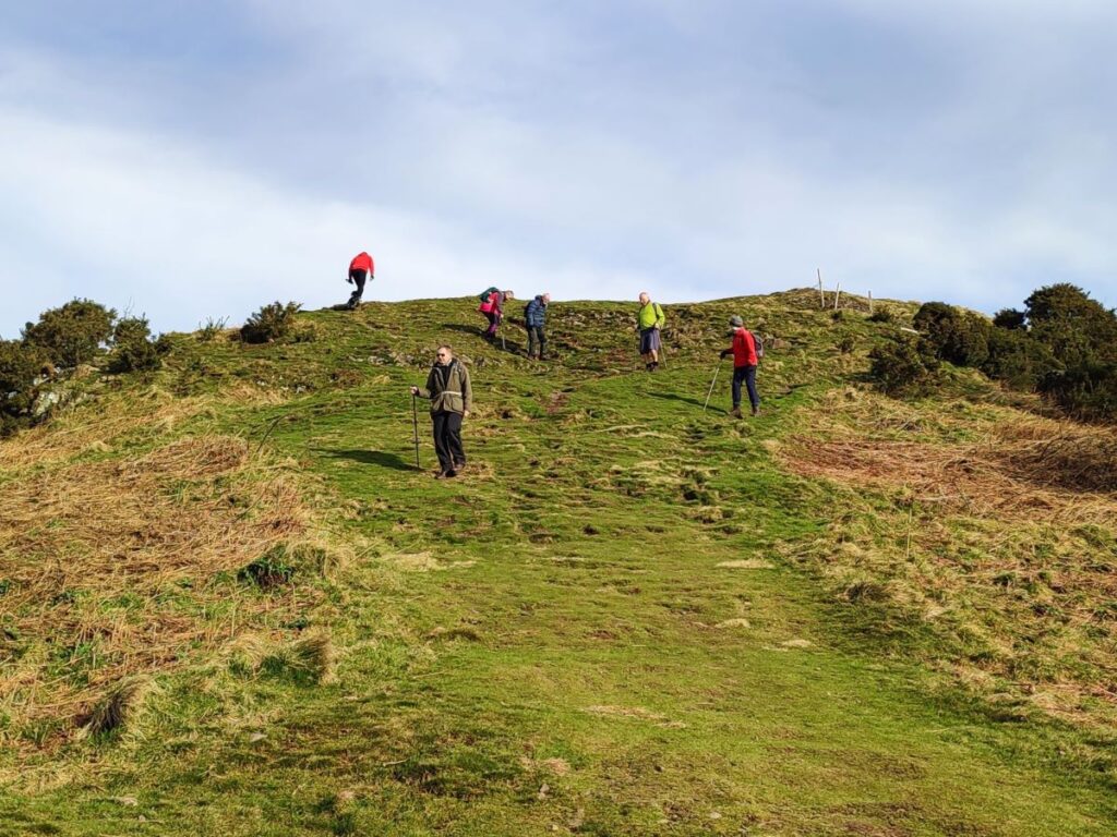
From the minor road where we accessed the Helm, look for an information board as you head back toward the Station Inn – there is a path next to this and this is where we head up the hill. As soon as we start climbing it becomes apparent that there are many paths to choose from. Don’t worry too much about selecting the “right one”, as long as we head up hill and then follow the ridge southeast, all will be well.
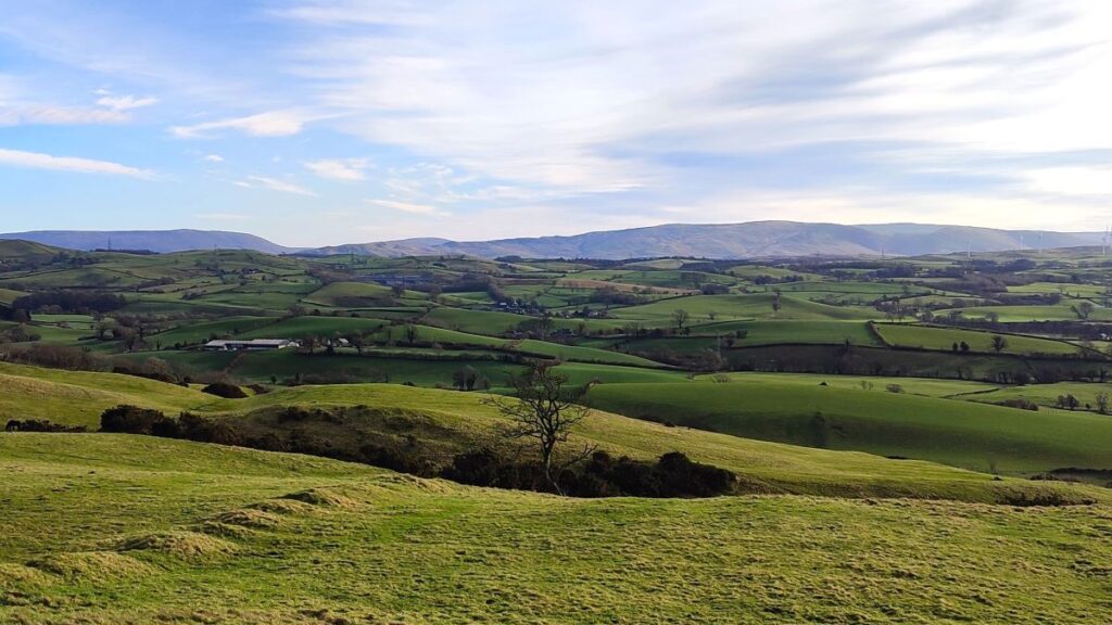
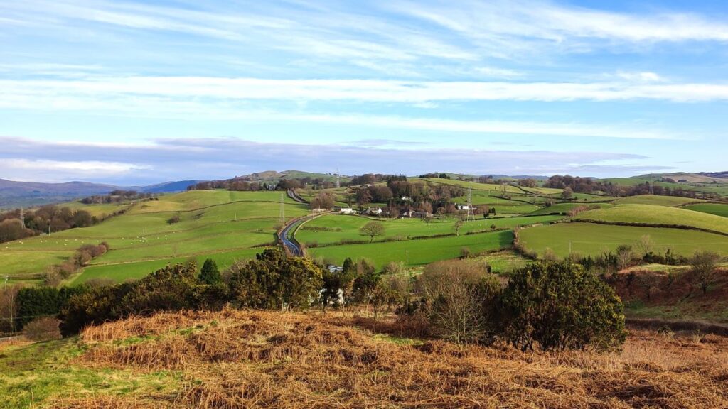
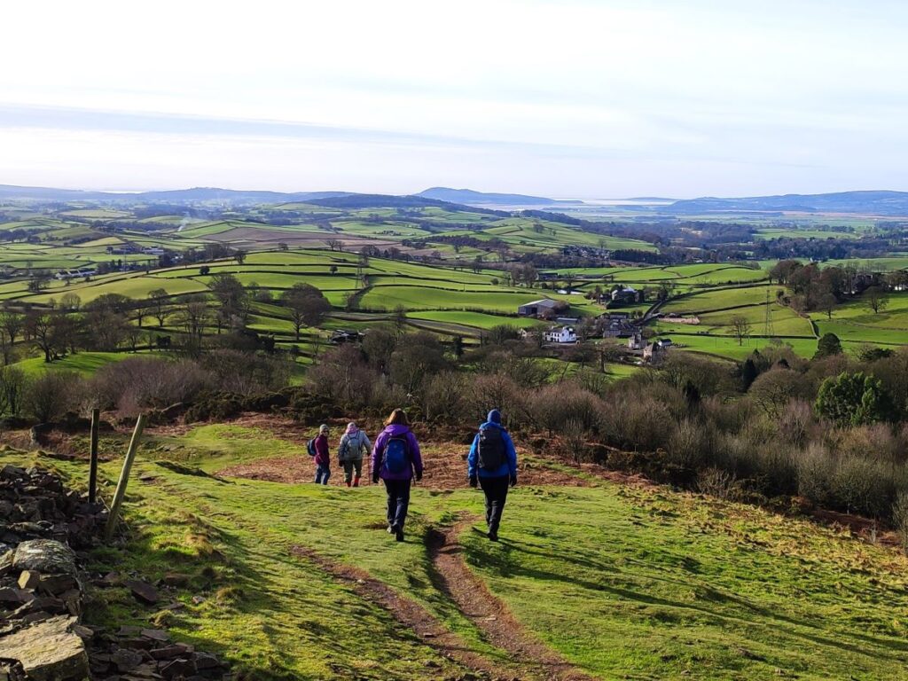
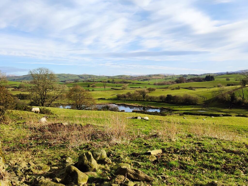
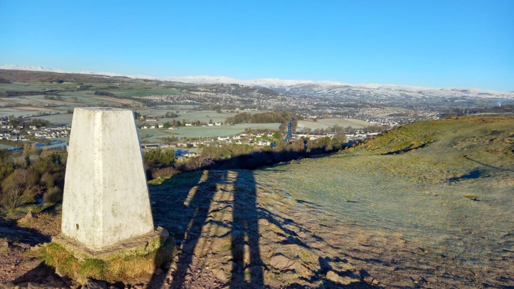
On the way up, don’t forget to look back and enjoy the views. Depending on the weather you should be able to see Oxenholme strung out along the railway, and further in the distance Kendal, with the Lakeland Fells behind. Further over to your right on the far side of the M6 are the Howgills, and straight ahead you may well be able to see Morecambe Bay.


Right at the top of the Helm is a trig point and just beyond this the site of the Castlesteads Hill fort. However, so little remains of this iron age structure that untrained eyes will probably detect nothing – it is only by aerial photography that faint traces of the structures become visible, and it is believed that it was a purely defensive earthwork, utilising an excellent natural position aided by a double rampart on the weakest (northern) side. According to Historic England Research Records, there is not the slightest evidence of internal structures or associated features, and so it could be any one of a native defensive work of the Iron Age, early Roman period, or a Motte of the Scottish ‘Ridge’ type.
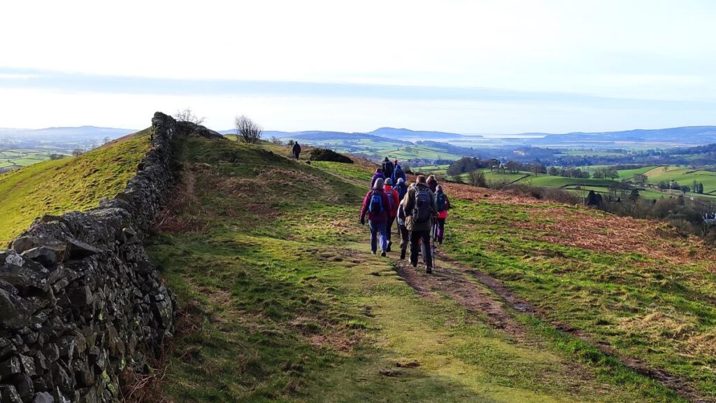
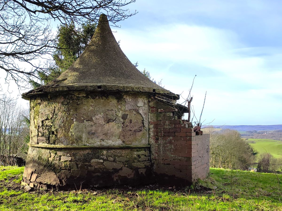
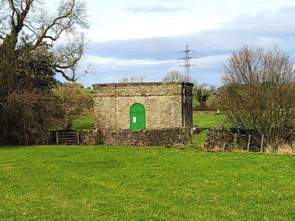
At the end of the Helm, we are now looking over Morecambe Bay, and have a steep climb down the end of the ridge through attractive gorse into woodland where we catch a glimpse of curious turreted tower assumed to be a folly – or possibly a dovecote.
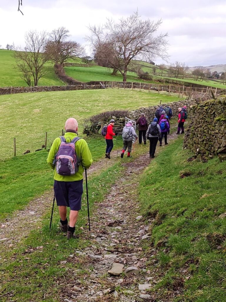
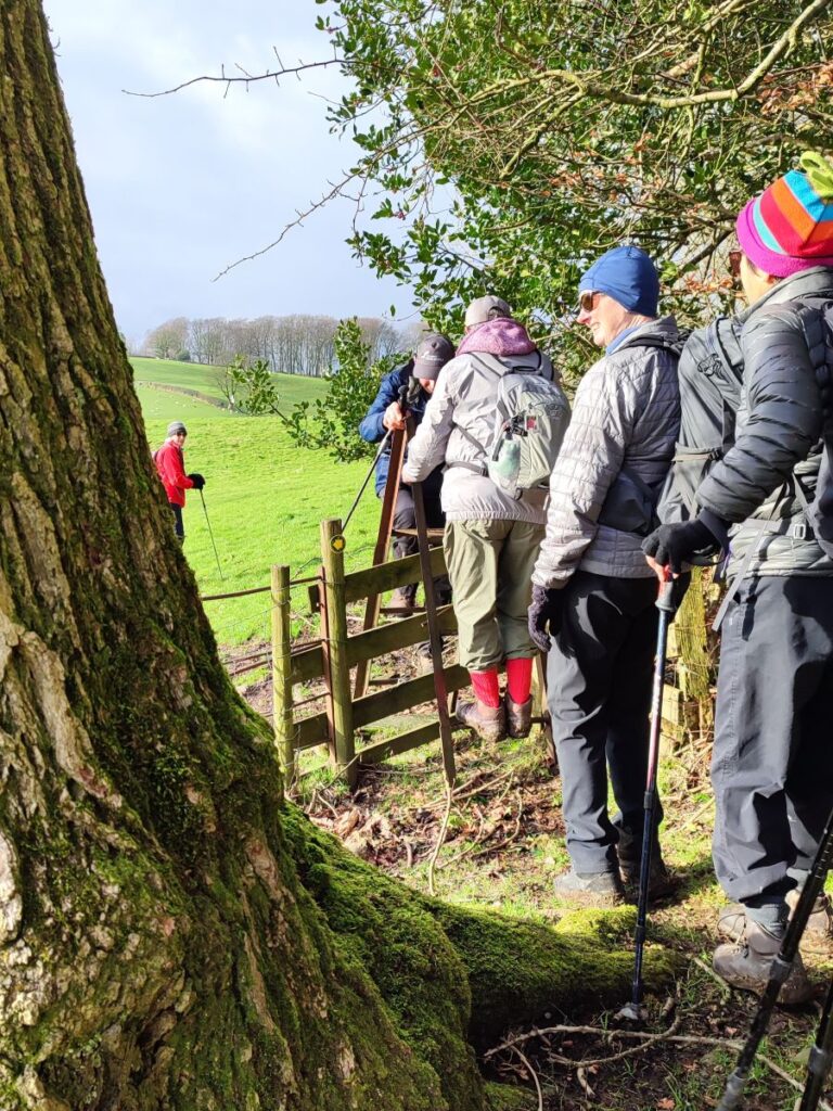
From here we meet a number of alternate paths – we need the one heading left and continuing the descent, which takes us south along the drystone wall to a minor road.
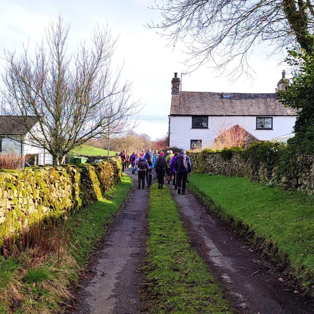
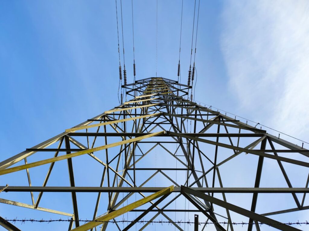
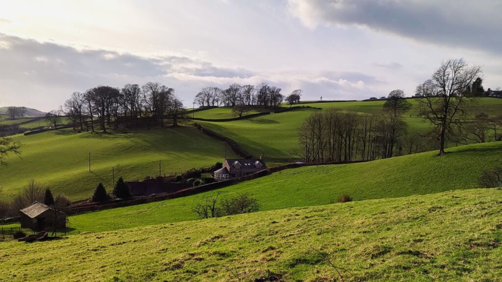
When we arrive at the road, we cross to the lane opposite and continue downhill passing through Helm End, a house with rather attractive well maintained gardens, until we arrive at an open pasture, where we cross diagonally to a large metal gate. We then follow the drystone wall (on our left) passing a pylon, to head toward a single storey whitewashed house on a minor road.
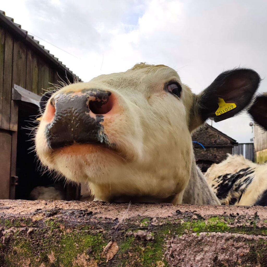
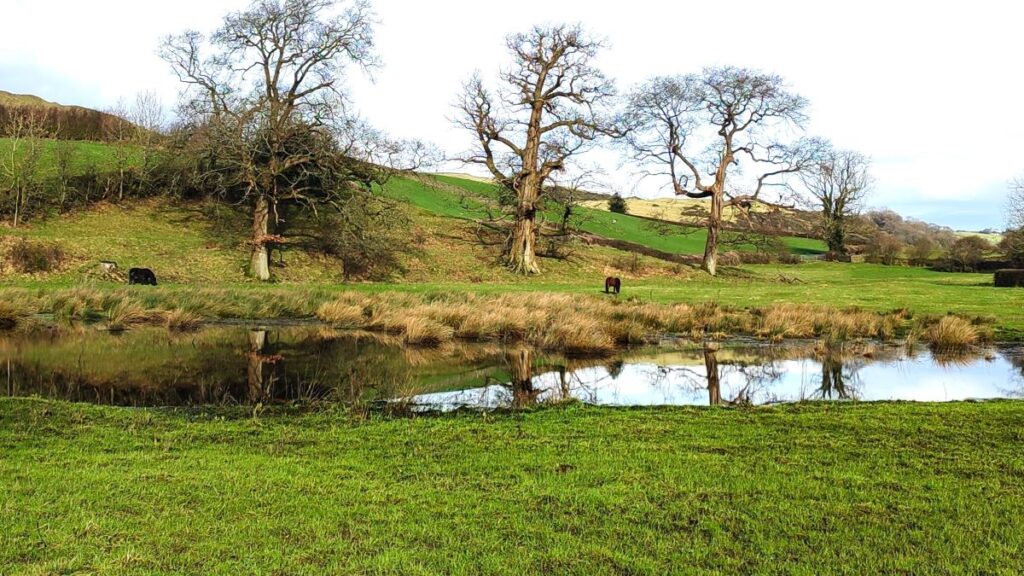
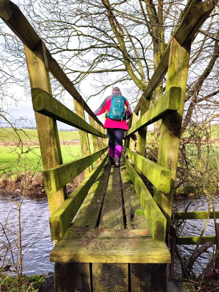
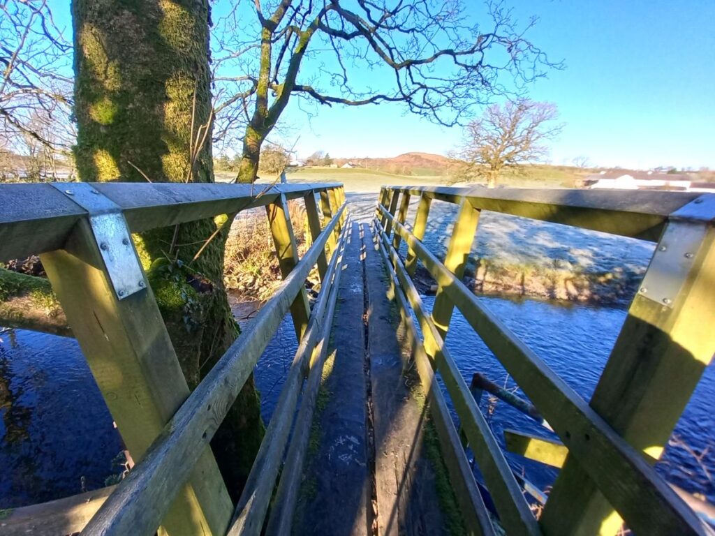
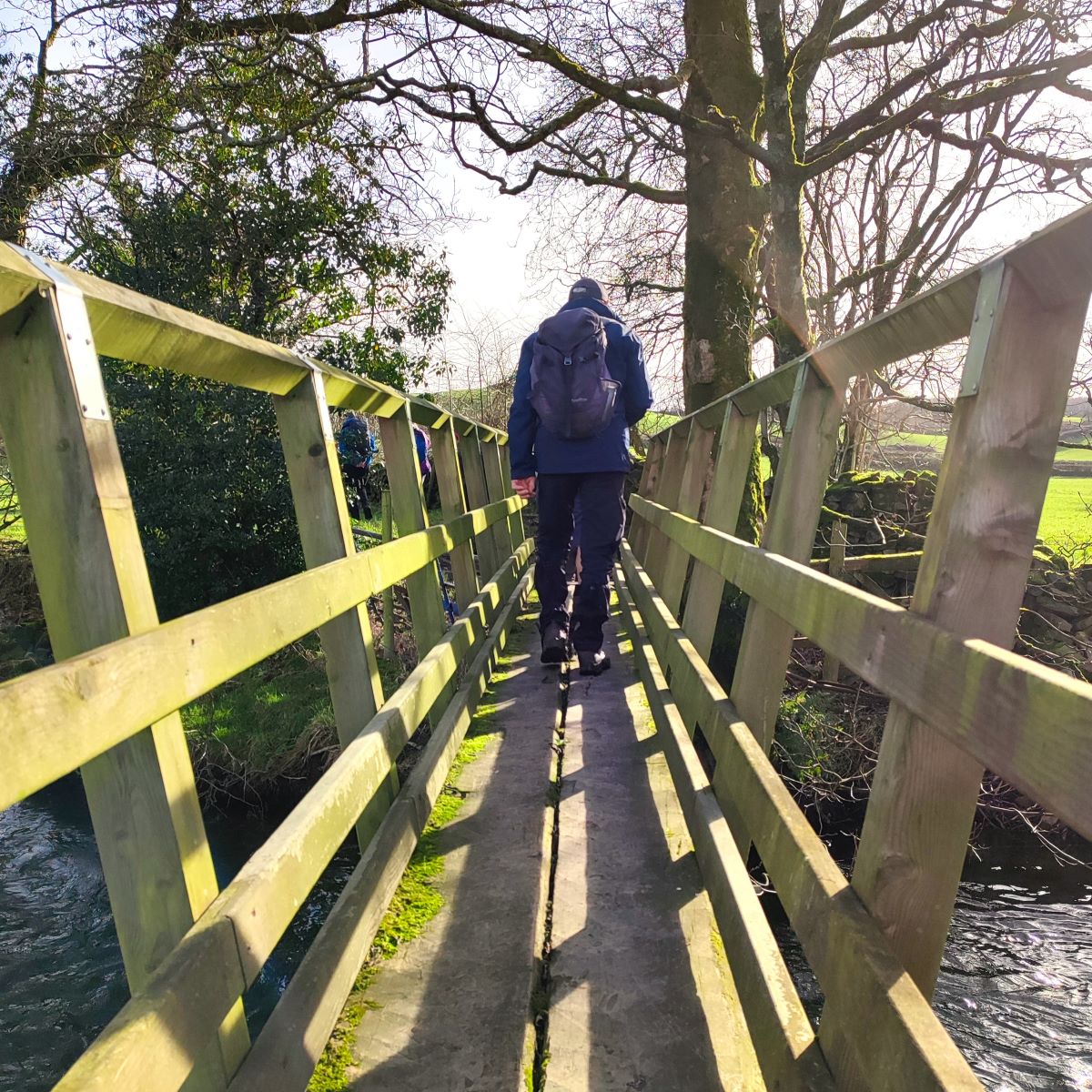
There is a stile onto that road, and from there we head left walking on the road for 100m, to a cattle grid. There we see a finger post directing us to leave the road and head right down to a wooden footbridge over the St Sunday’s Beck – which as it flows downstream to Stainton, and merges with a number of other tributaries becomes the Stainton Beck. Regular walkers will remember this from our Levens Bridge and Holme walk.
St Sunday’s Beck is very pretty, but regrettably the water quality status is not what we would wish: The Environment Agency has two measures of water quality: Ecological – which is based on what lives in the water, and Chemical which is based on sampling and chemical analysis. The Ecological status is currently assessed as “moderate” the middle level of five, whilst the chemical status is “fail”, due to the presence of polybrominated diphenyl ethers (PBDE) and mercury compounds. If you are walking a thirsty dog you might want to consider this.
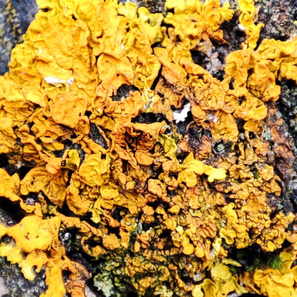
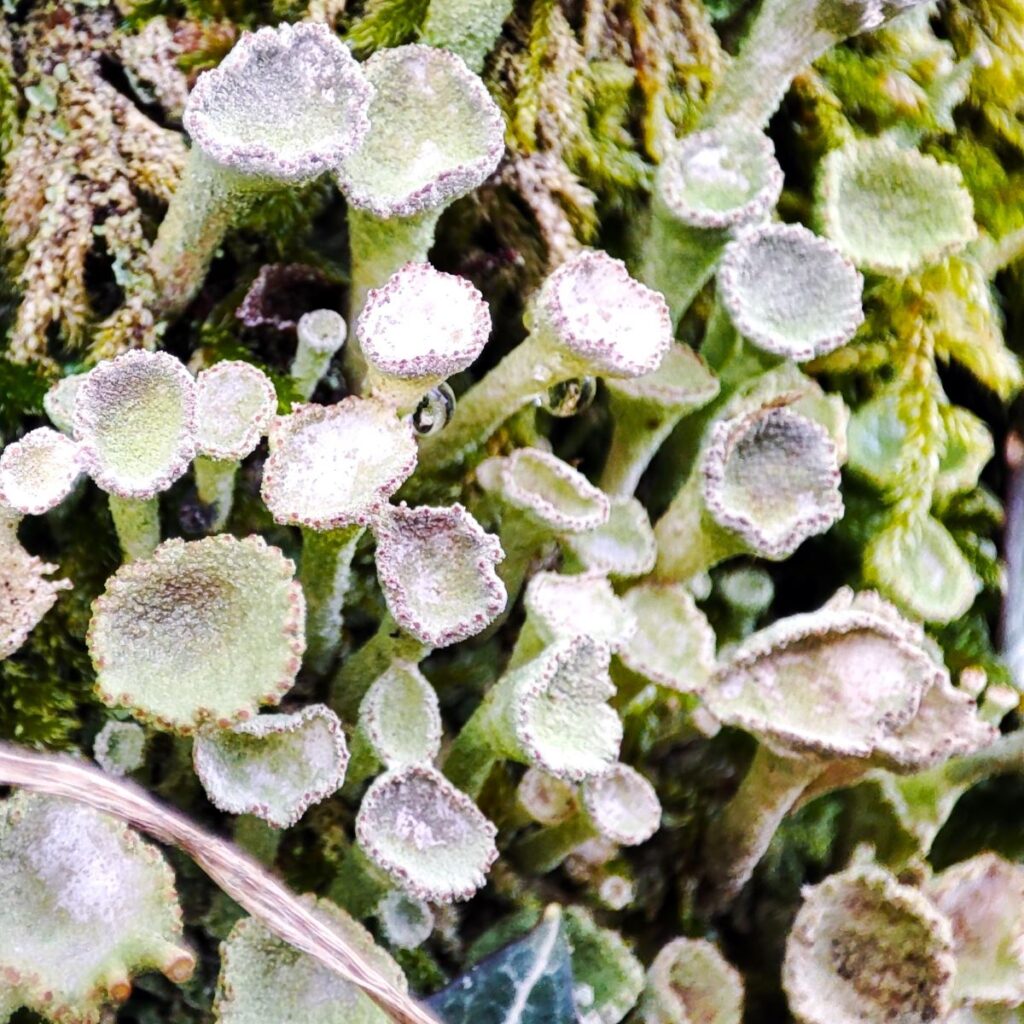
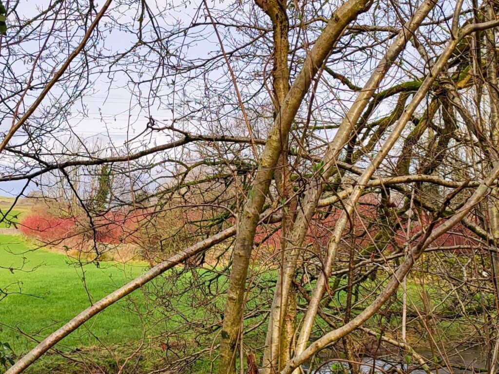
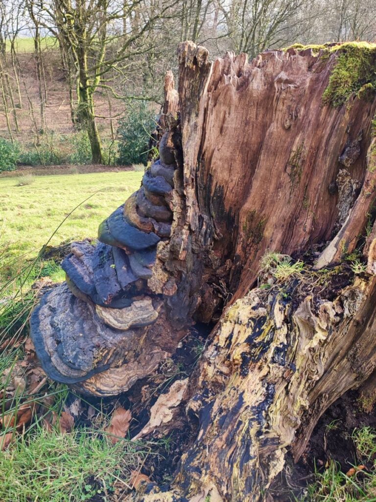
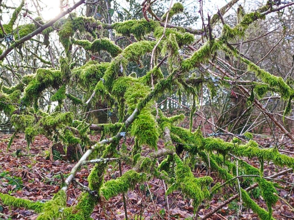
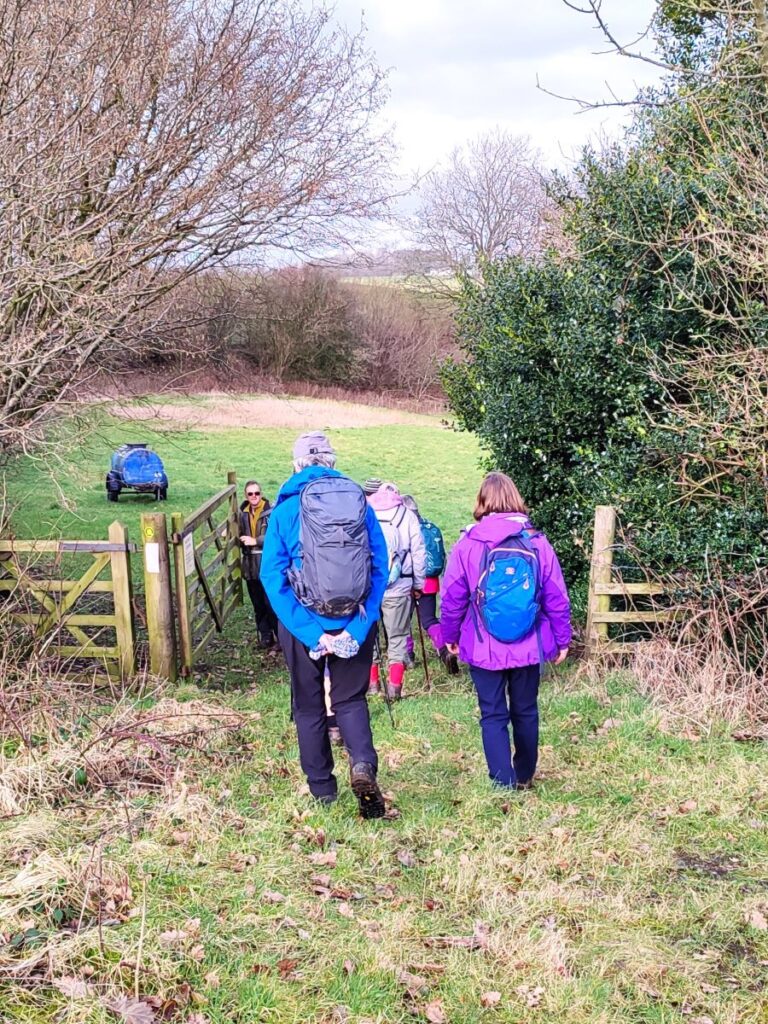
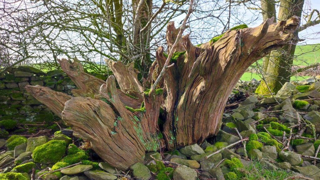
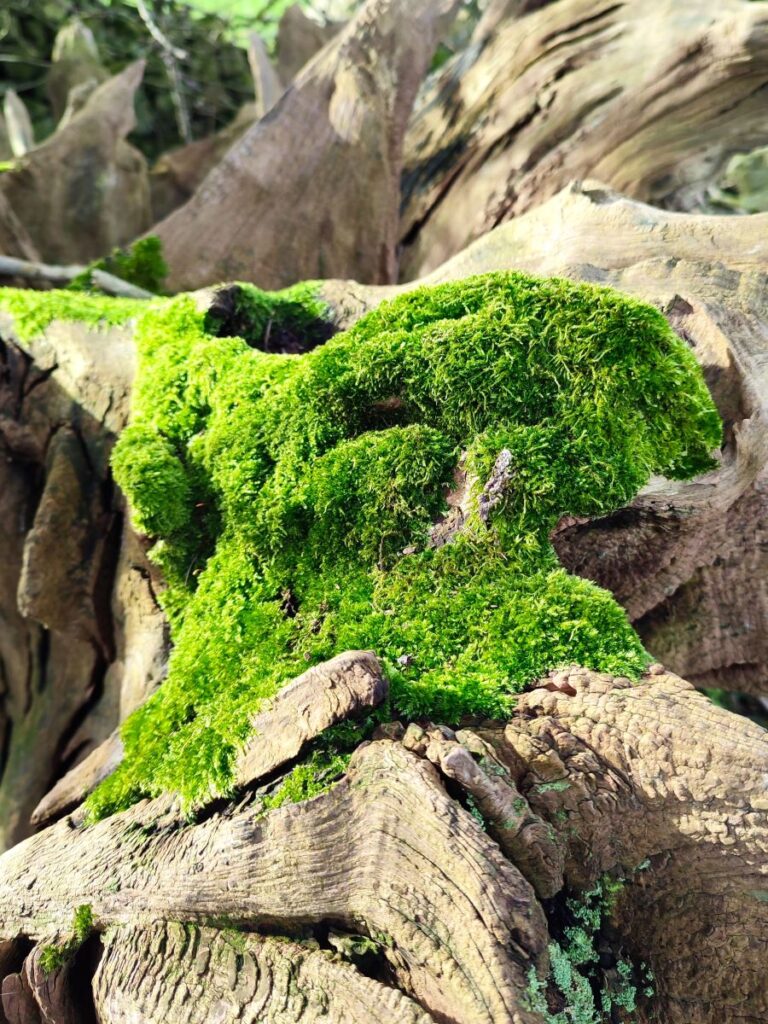
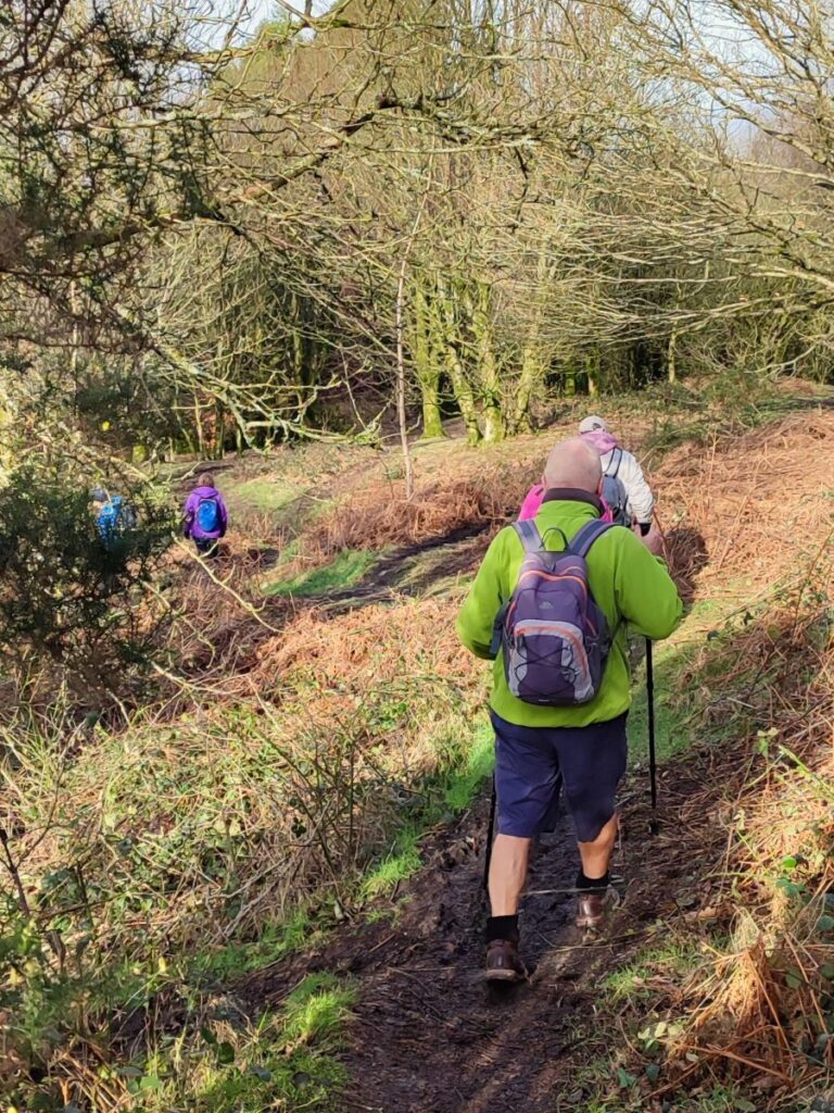
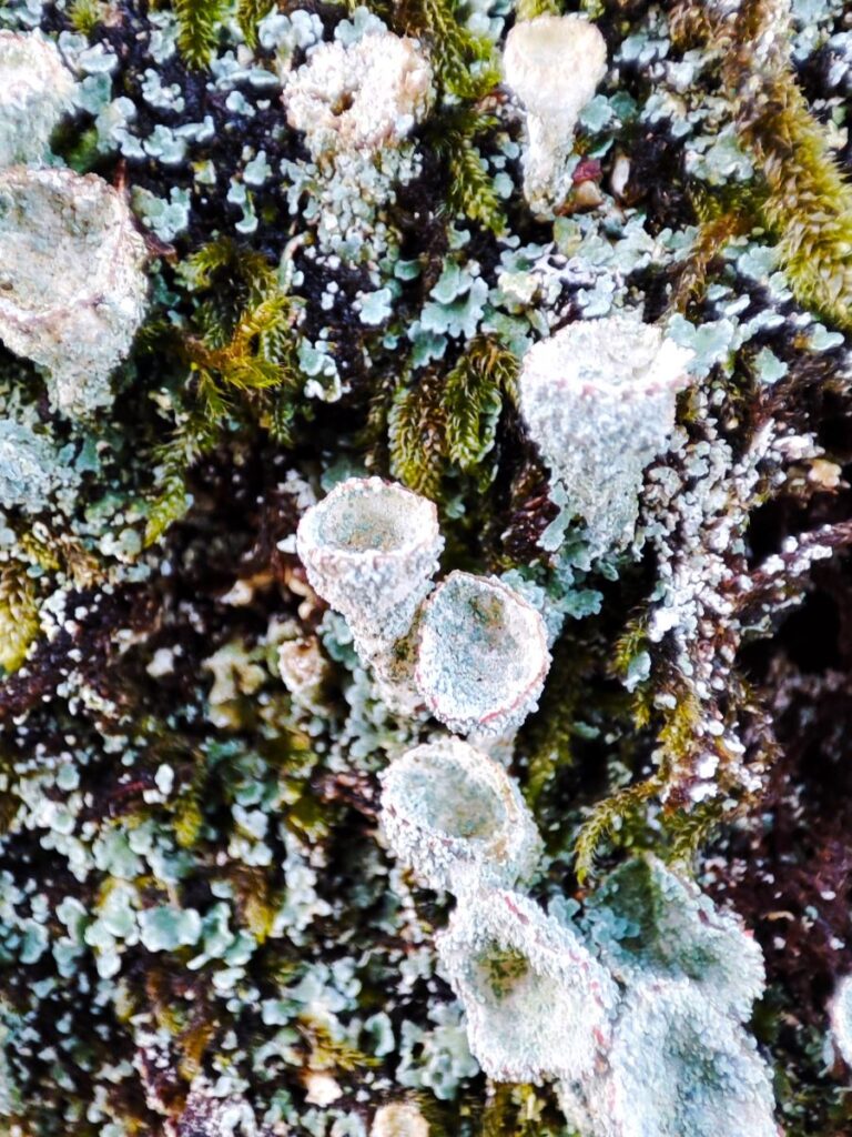
Once over the footbridge, we turn left and follow the beck upstream through three fields until we enter woodland at Bleasehall Wood. This small but undeniably atmospheric area is carpeted with wildflowers in spring, and has many ancient trees covered in mosses and lichens creating something of a “middle earth” atmosphere. Also of note on the way through the woods, and most clearly visible right at the start of the woodland section, is the display of red stem willow over to the left: Not visible on the ground, but clearly seen on the flythrough is a pond – we assume that the willow is growing around the pond and as the new growth is conspicuously red, it creates a very welcome splash of colour in the winter months.

At the end of the woodland, we exit on to an open pasture, and if we look to the left at this point we will see what appears to be a Victorian red-brick pumping station. This is the Syphon Well, bearing the coat of arms of Manchester Corporation Water Works, it marks the line of the Thirlmere Aqueduct – ninety five miles of pipes and tunnels built between 1890 and 1925 to carry water to power industry and provide wonderfully soft water to the good citizens of Greater Manchester.
That explains the ownership then, but what does a syphon well do?
When the pipeline was planned it was obviously important to keep excavation costs within manageable limits, so the route follows a gentle slope as far as possible. The terrain through which the pipe travels however is quite hilly, so there are inevitably areas where the pipe has fallen below the level of the next section, but importantly, is still higher than the end point. Rather than using pumps here, a syphon effect can be used to lift the water to the ongoing route – the role of the well building is simply to allow for access to the syphon for maintenance.
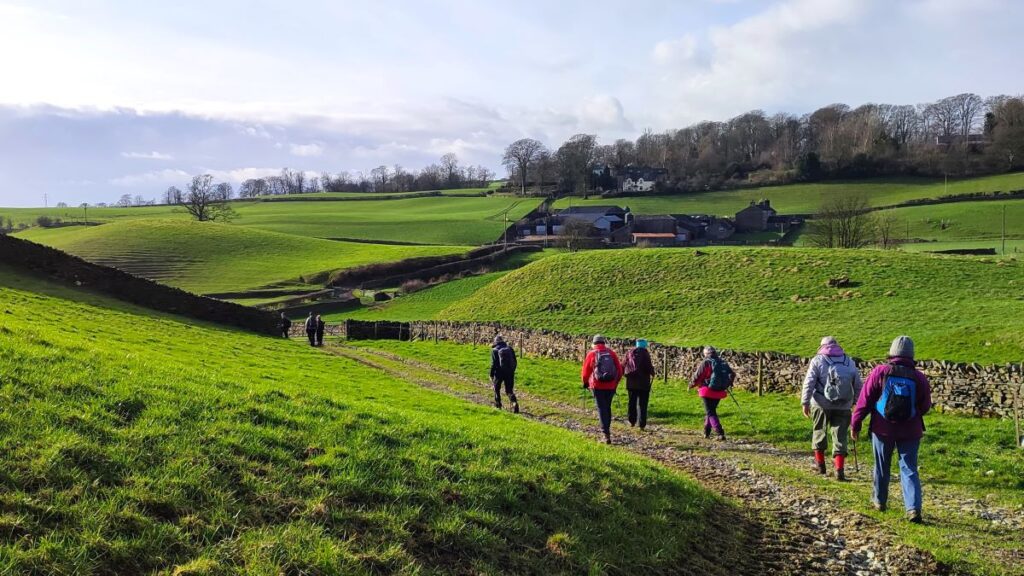
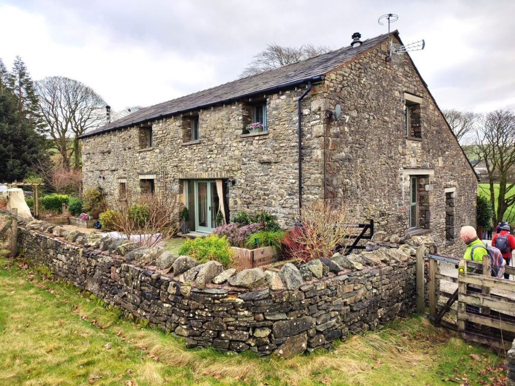
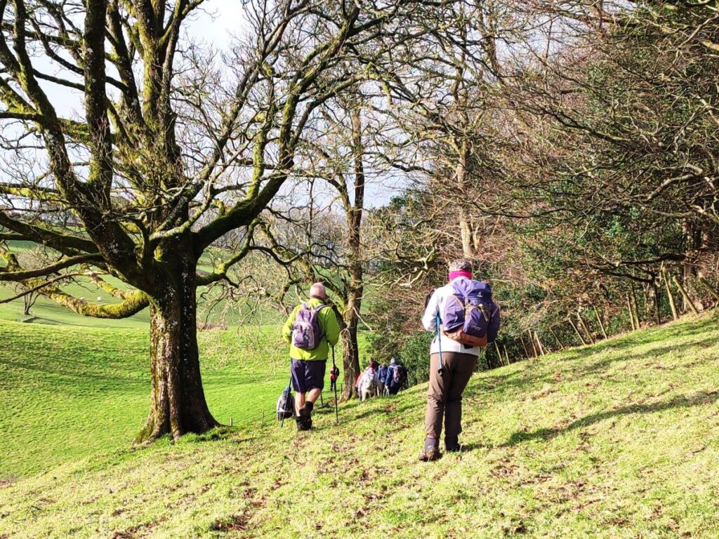
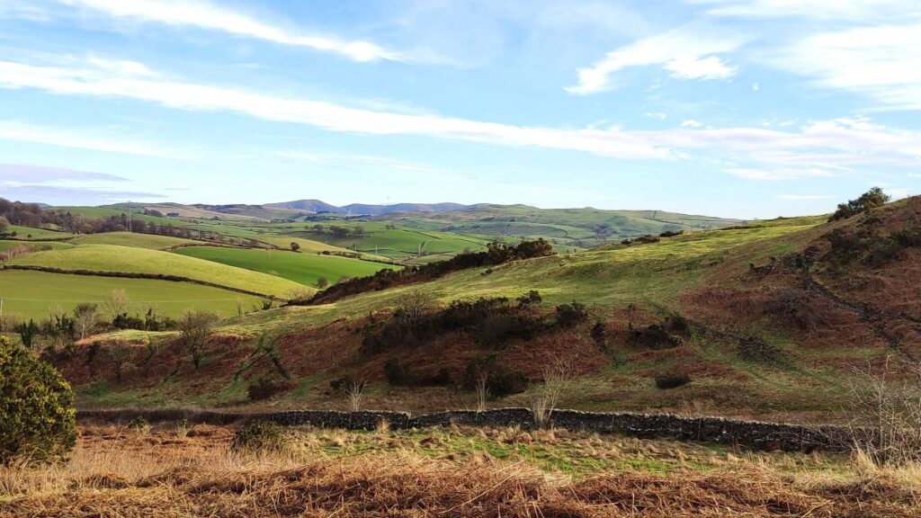
We now continue through the field heading toward the houses we see ahead at Low Bleaze. Some care is needed here, the paths forks just after the syphon well, so make sure you keep right – the alternate path goes to Blease Hall, a sixteen century house – worth exploring another time perhaps?
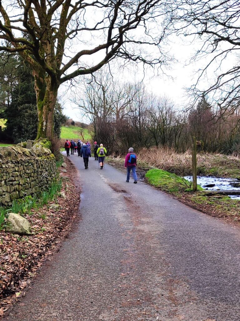
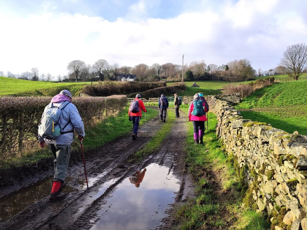
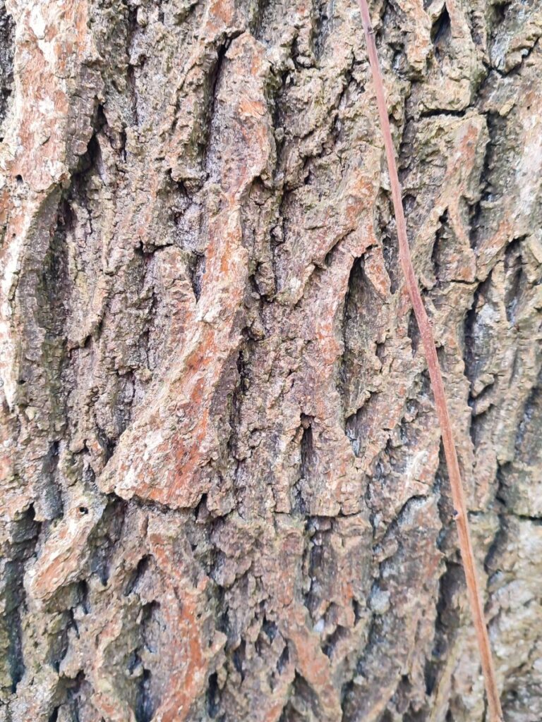
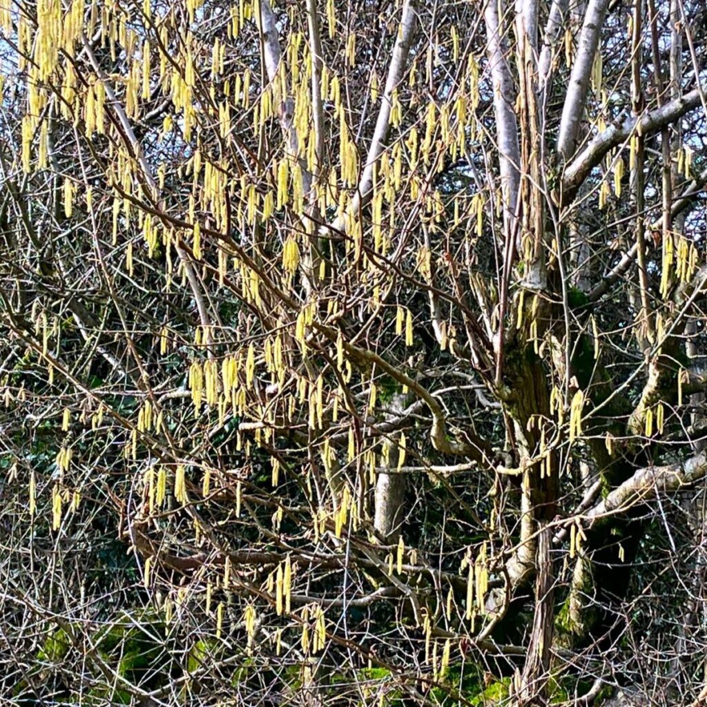
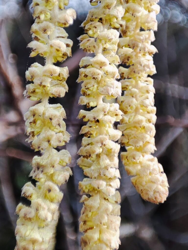
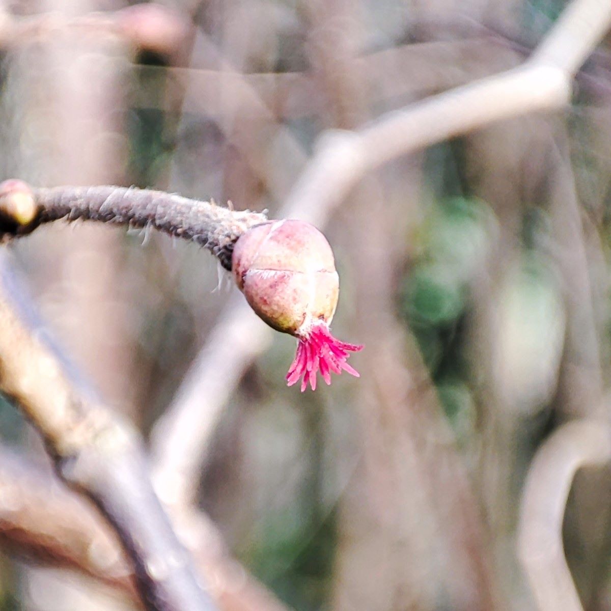
As we approach the houses at Low Bleaze we enter a quiet green lane – called Highgate Lane, so presumably once going all the way to Kendal where the Highgate is still an important thoroughfare. At this lane we head left and walk within an avenue of Hazel trees for a good while. During February, the most obvious feature of the Hazels are the catkins – the male flower. Clearly there must be a corresponding female flower to receive the pollen, and this is the tiny and barely visible, but bright red female flower, of which we noted a few. So, make a mental note – Highgate Lane could be a great place to pick ripe hazelnuts later in the autumn.
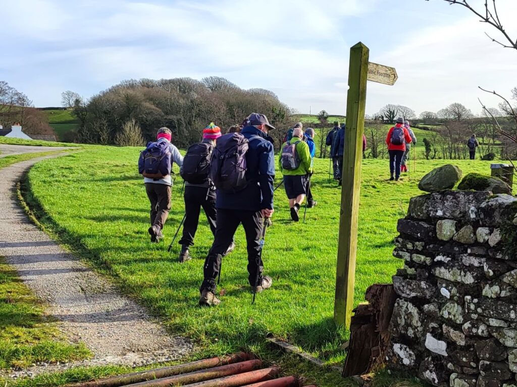
After perhaps 500m, Highgate Lane arrives at a minor road – in fact it’s the B6254 again – we turn left here and walk along the road for just a few metres until we see the footpath leave again on the right, taking us down to a gate where a fingerpost shows us the route round the edge of the fields to a wooden footbridge where we re-cross the St Sunday Beck. Once over the beck we keep to the right hand side of the field and go up to the gate onto a minor road. We then turn left and again look to the right for the path to continue almost opposite.

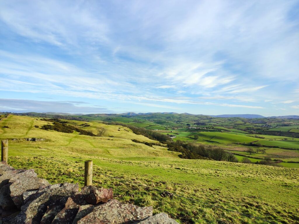
Our route is now uphill, with a wall to our left, heading north toward a pylon. Once there we cross the stile and continue in the same direction for a good while, enjoying good views across the valley. We soon meet another minor road, where we repeat the turn left exit to path on right pattern until the path comes up to the back of a rather attractive house at Strawberry Bank – here we take the alley between the buildings and go down onto the road.
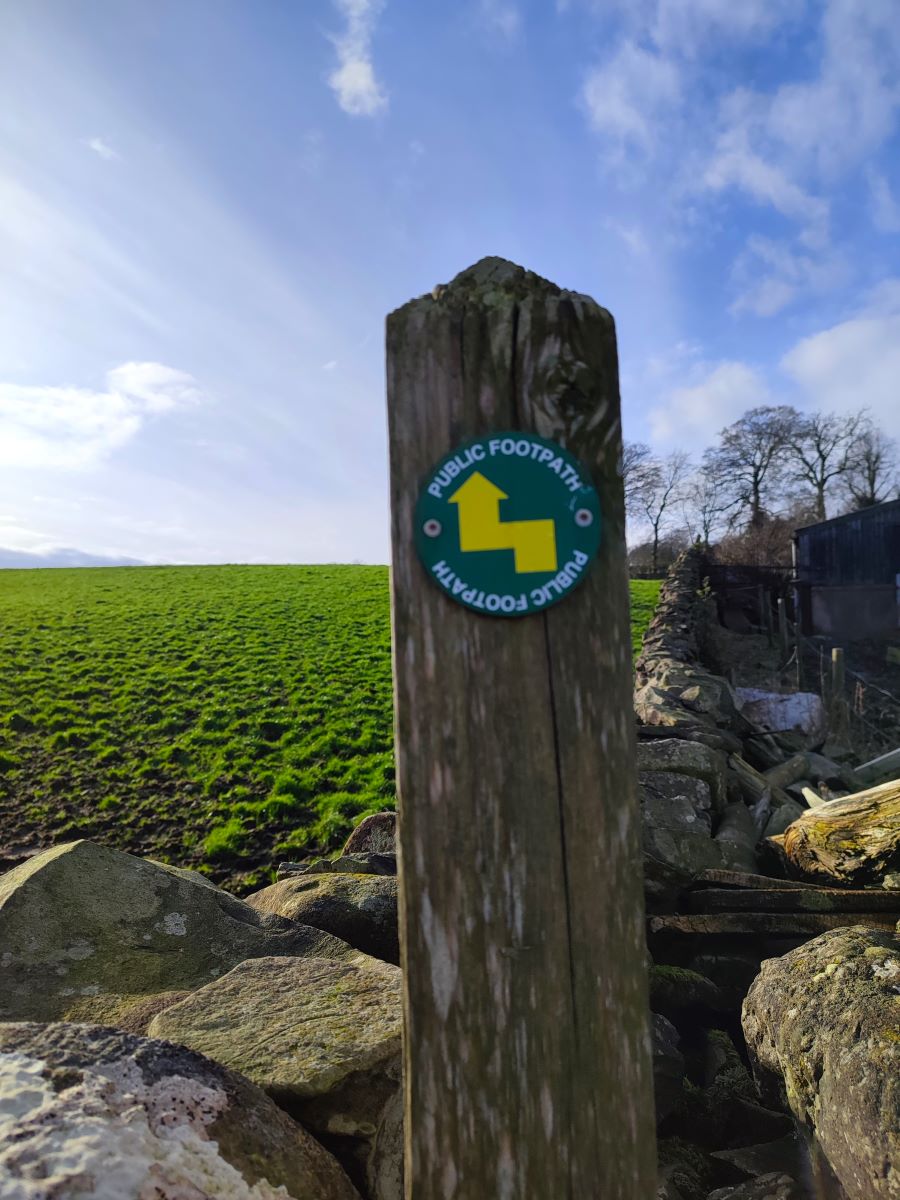
We turn left at the road and walk for no more than 200m on the tarmac until we see a footpath sign on our left just beyond a farm. The footpath strikes out across the field and then passes behind the farm buildings to head west across a number of fields. There are no specific landmarks to follow just here, but the path is generally clear, and the next stile is always visible – but if in doubt follow our GPX. We soon see a farm in the distance – this is Hagg Farm, and that’s where we need to head next. As we arrive, look out for a distinctive way maker roundel showing that we do a dog leg and go round the outside of the farm to rise up to a gap between two patches of woodland and then descending to a road where a stile in front of the house leads us safely onto the metalled surface. We head left, and then right, to pass the left hand side of the house and then up the rather steep Windy Hill, staying to the left hand side of the field. Toward the top we see a track ahead and then slightly further up a stile into a caravan park.
A short track takes us through to Windy Hill Farm, where we follow the markers through the barns to a stile into open fields. We then cross diagonally toward a pylon / transformer, and then keep the drystone wall to our left as we continue down toward a group of dwellings at Hayfellside, where we need to do a quick right-left dogleg to continue heading southwest past a stable block.
We soon arrive at a road and turn left to walk along the road for about 400m until we arrive at the Station Inn – and our parking spot opposite. Some care is needed on this road – visibility is good and there is a wide grass verge but there is considerable traffic flow.