Jump to . . .Step by Step | OS Map | Downloads | Gallery | Fly through
We head back to the Forest of Bowland for this great and relatively easy walk from the pretty village of Bolton by Bowland, creating a great opportunity to combine the walk with a visit to the village – which boasts two great pubs and a very interesting church.
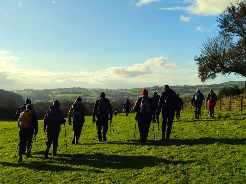
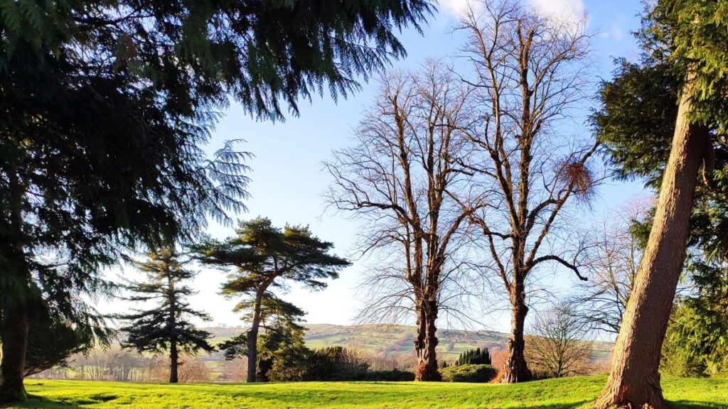
We start at a free car park next to the road bridge over Skirden Beck and then follow the beck upstream to Oak Trees Nursery. A short section on the road takes us up to Forest Becks, where we pick up Monubent Lane, which we follow as far as Monubent Head. From there we cross Fooden Moor until we get to Raygill Moss where we pick up the Ribble Valley Jubilee Trail. This takes us to Fooden, where we start to see the Ribble over to our left. We then follow the Ribble Valley down to the estate where Bolton Hall once stood and walk back into Bolton by Bowland via the estate grounds. We then stroll through the village, passing the church, the two greens and one of the pubs.
- Total distance 10.5 km (6.5 miles)
- Total ascent 155 m
- Easy walk
Step-by-Step

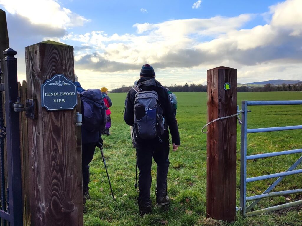
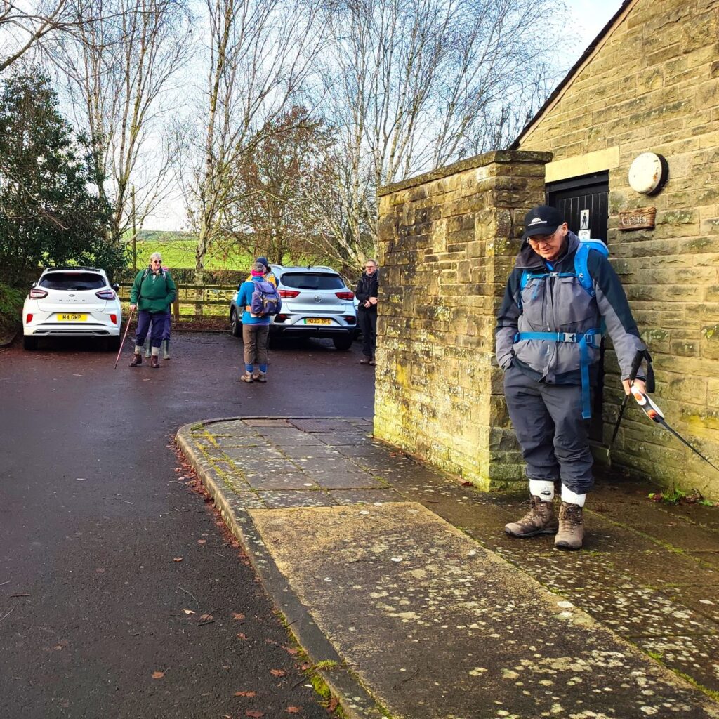
We start at the public car park in the village centre – this is easy to find and is at the western end of the village right next to the road bridge over the Skirden Beck. If you are using Satnav to get to the start then the address is Main St, Bolton by Bowland, Clitheroe BB7 4NW – if you prefer using What-3-Words then the tag is volume.fidgeting.audibly which corresponds to OS map reference SD78404932
Car parking is Free, and there are well kept public toilets on site.
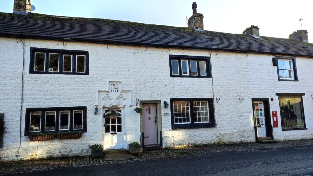
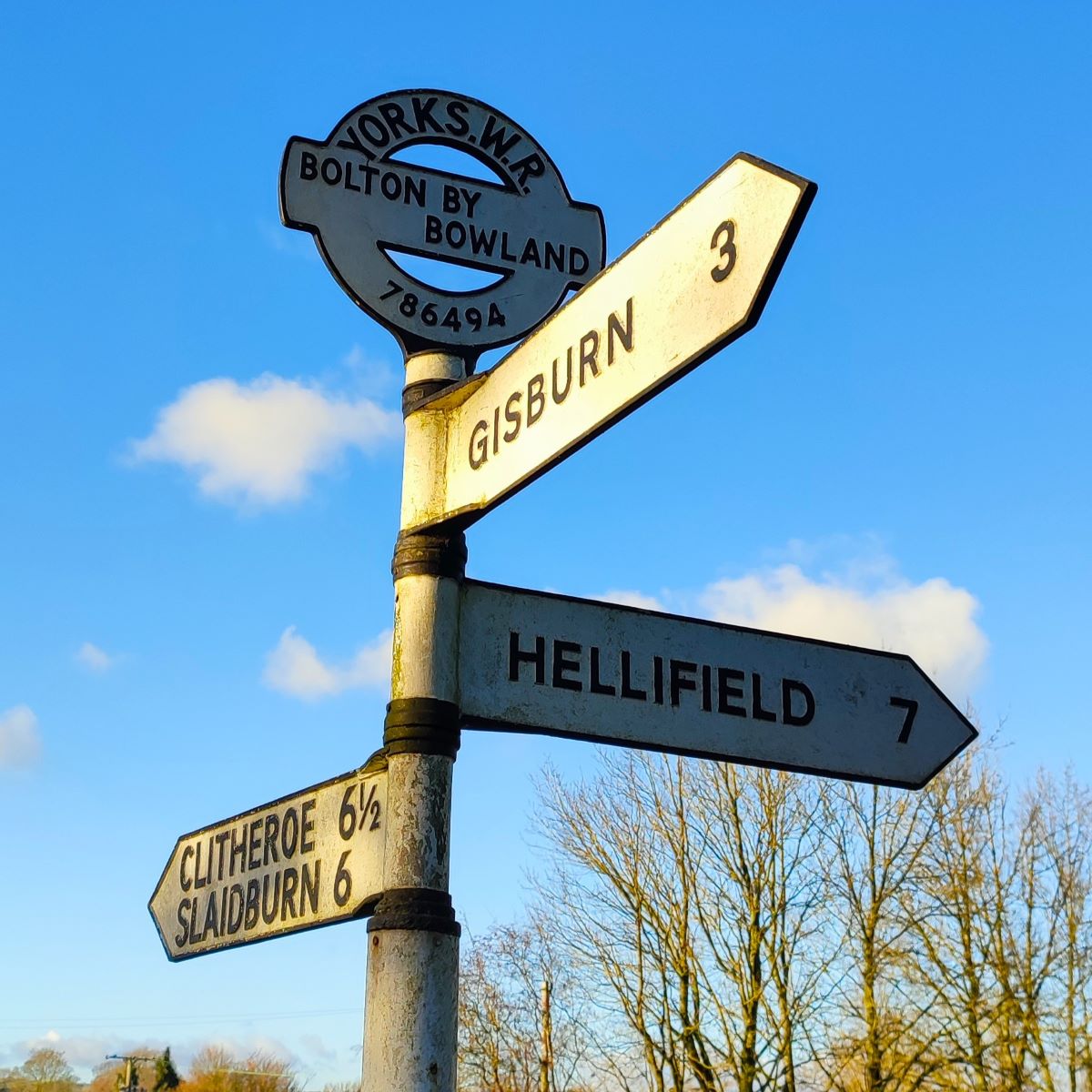
Bolton by Bowland is an ancient settlement – it was listed in the Domesday Book – so must predate 1086 – although the name was then recorded as Bodeton, meaning a bow in the river. In medieval times it became known as Bolton in Bowland, the “in” probably reflecting the connection of the village and surrounding lands to the ancient Forest of Bowland and the feudal Lordship of Bowland. The manor of Bolton by Bowland was however under the control of the Percy Family from ancient times and that is the name we now use.
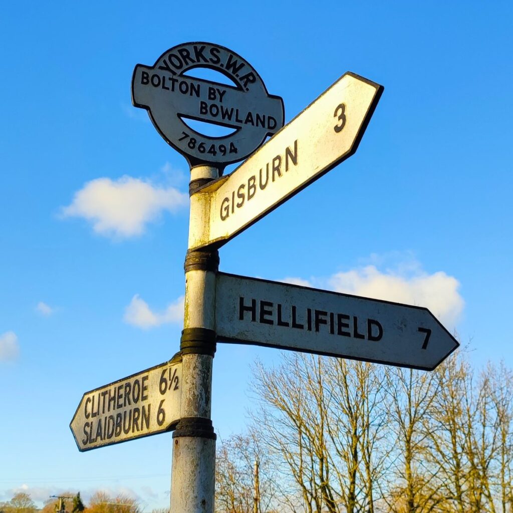
If that’s confusing, then so is the question of Lancashire or Yorkshire. The strict answer is Lancashire – the local government reorganisations in 1974 shifted Bolton by Bowland from the West Riding of Yorkshire into Lancashire – where it remains. However, the village has a strong community spirit and is proud of its heritage so when the cast iron road signs were refurbished, they opted to retain the West Riding Designation – along with the OS grid reference in the casting.
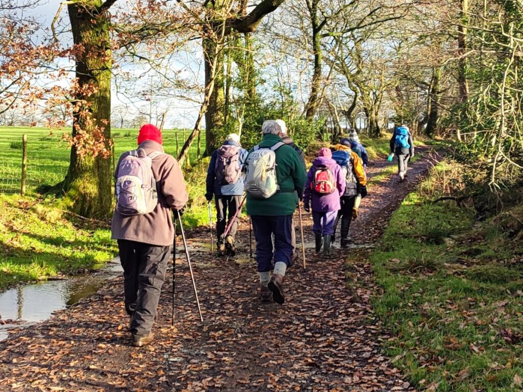
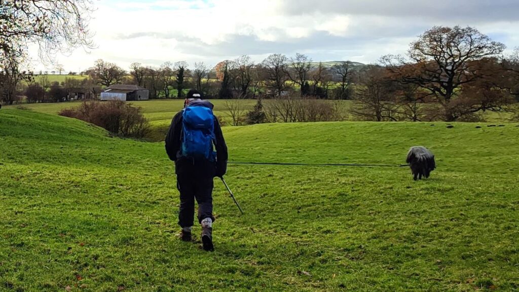
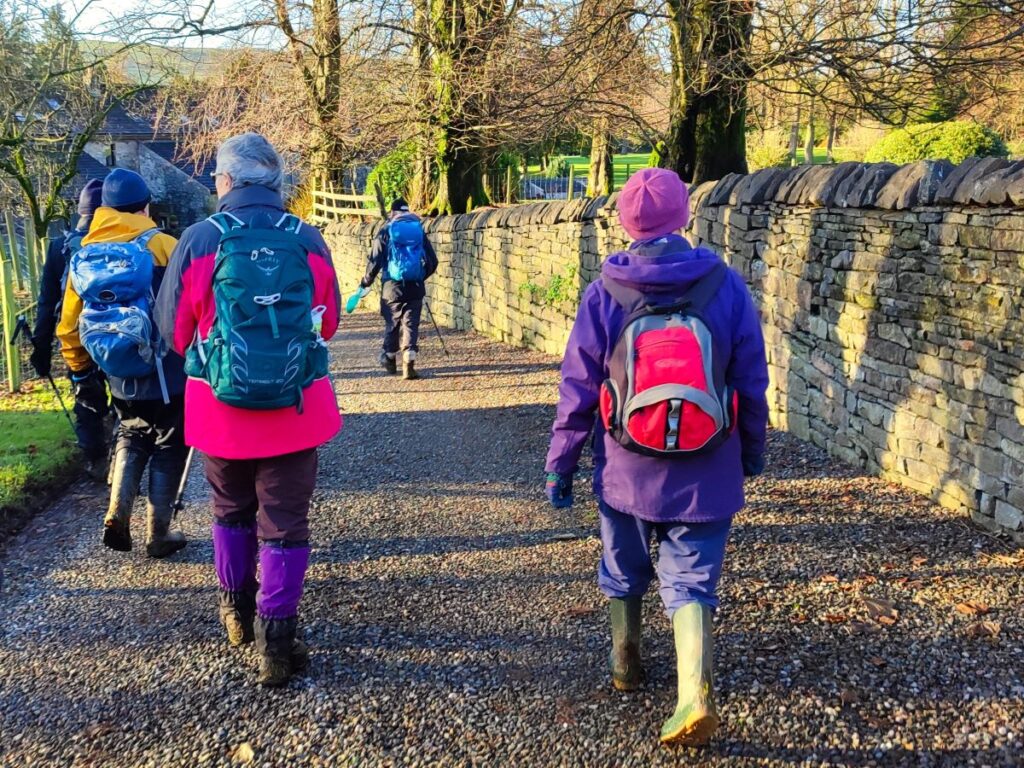
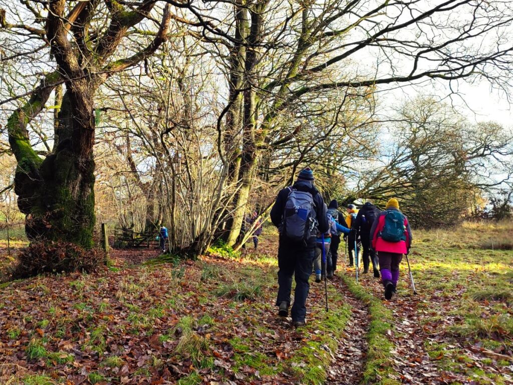
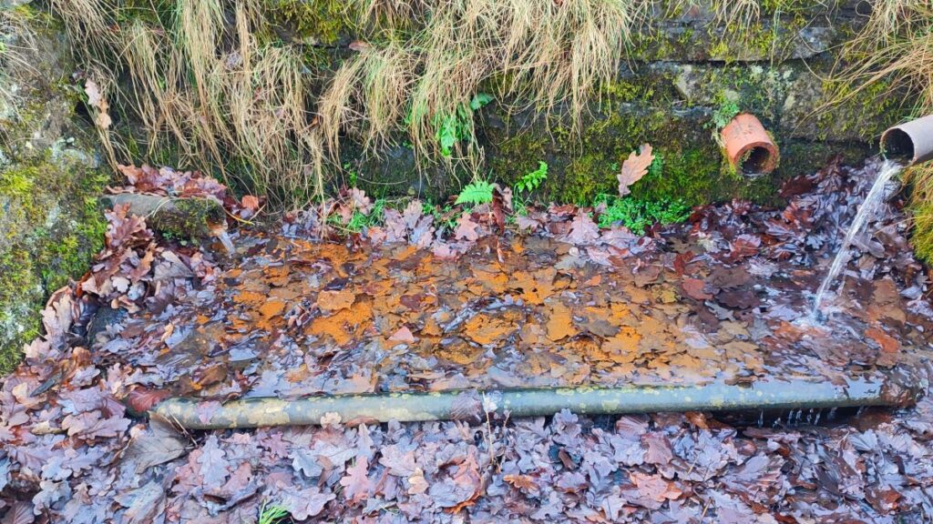
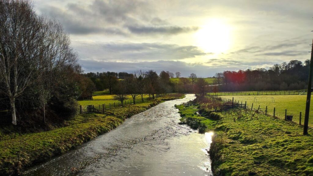
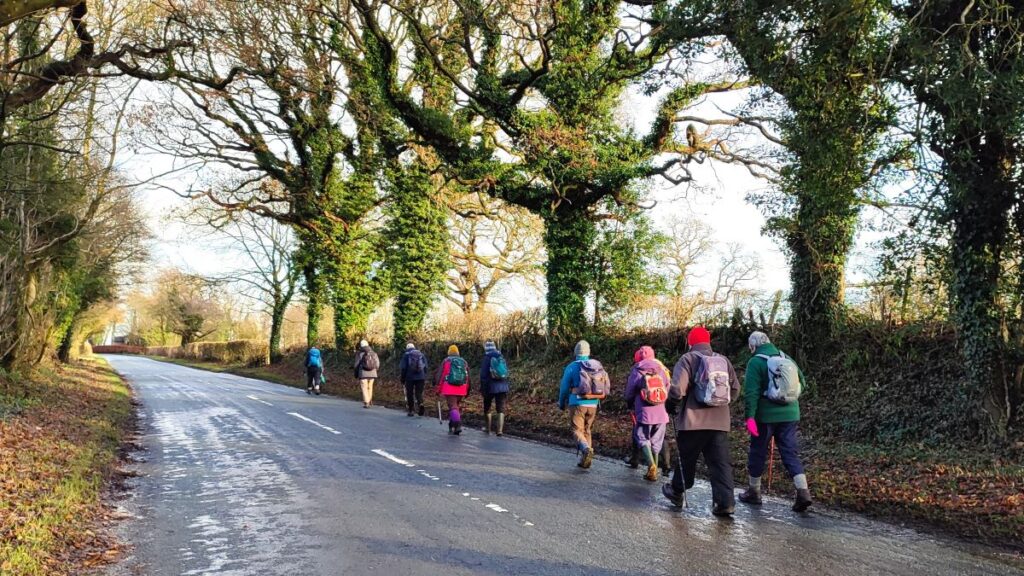
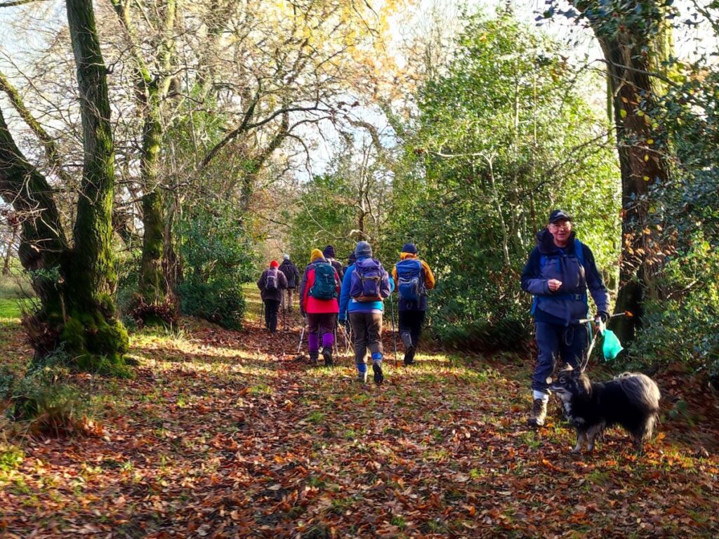
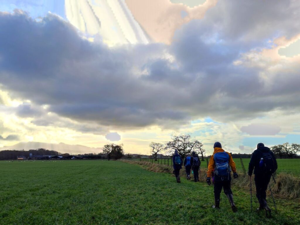
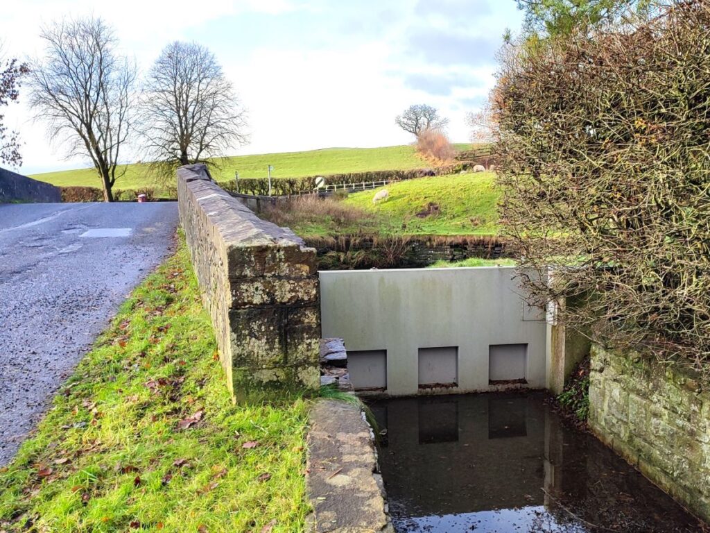
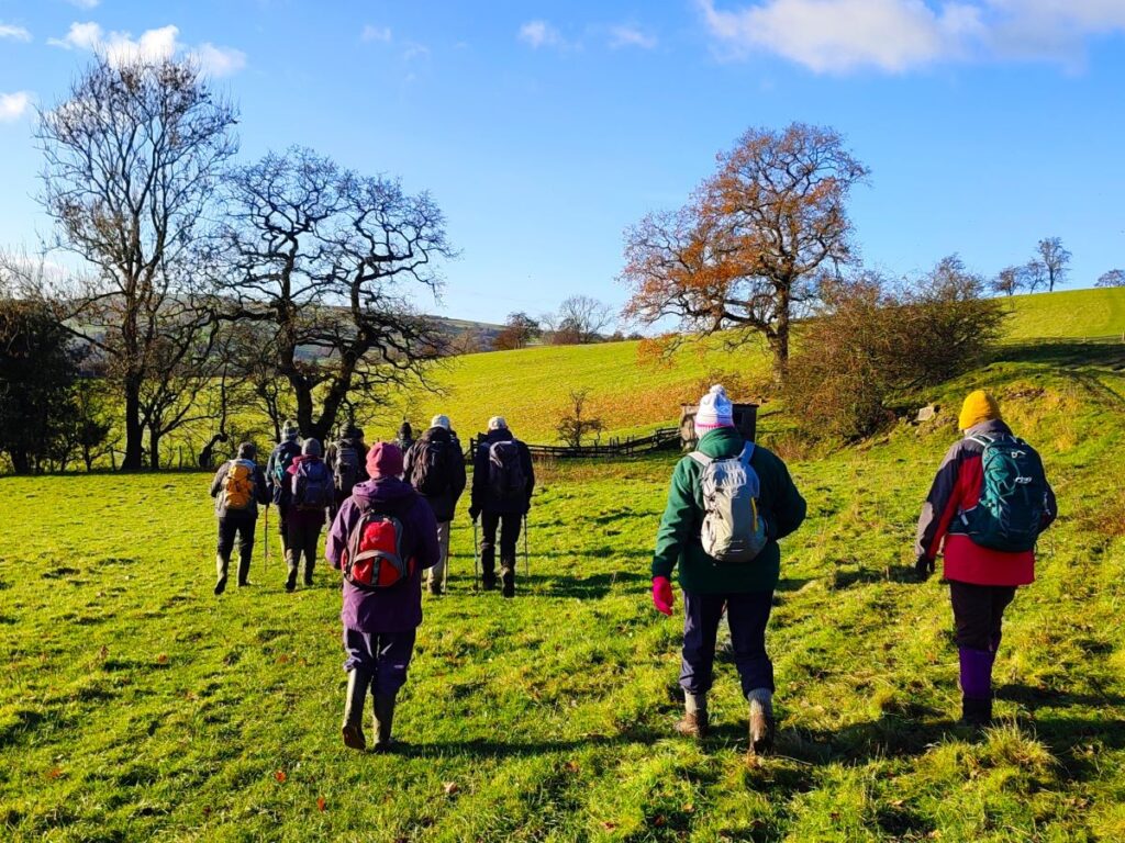
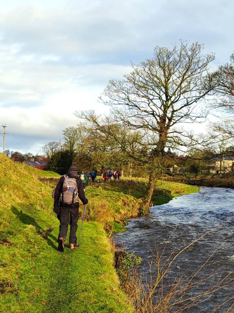
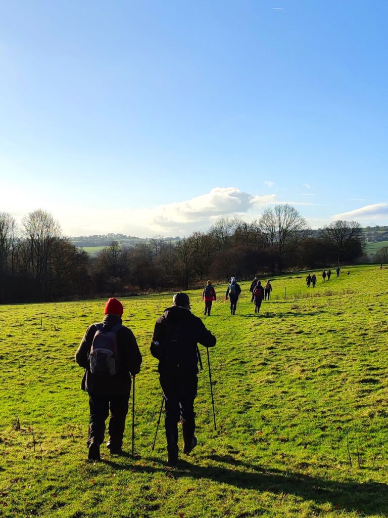
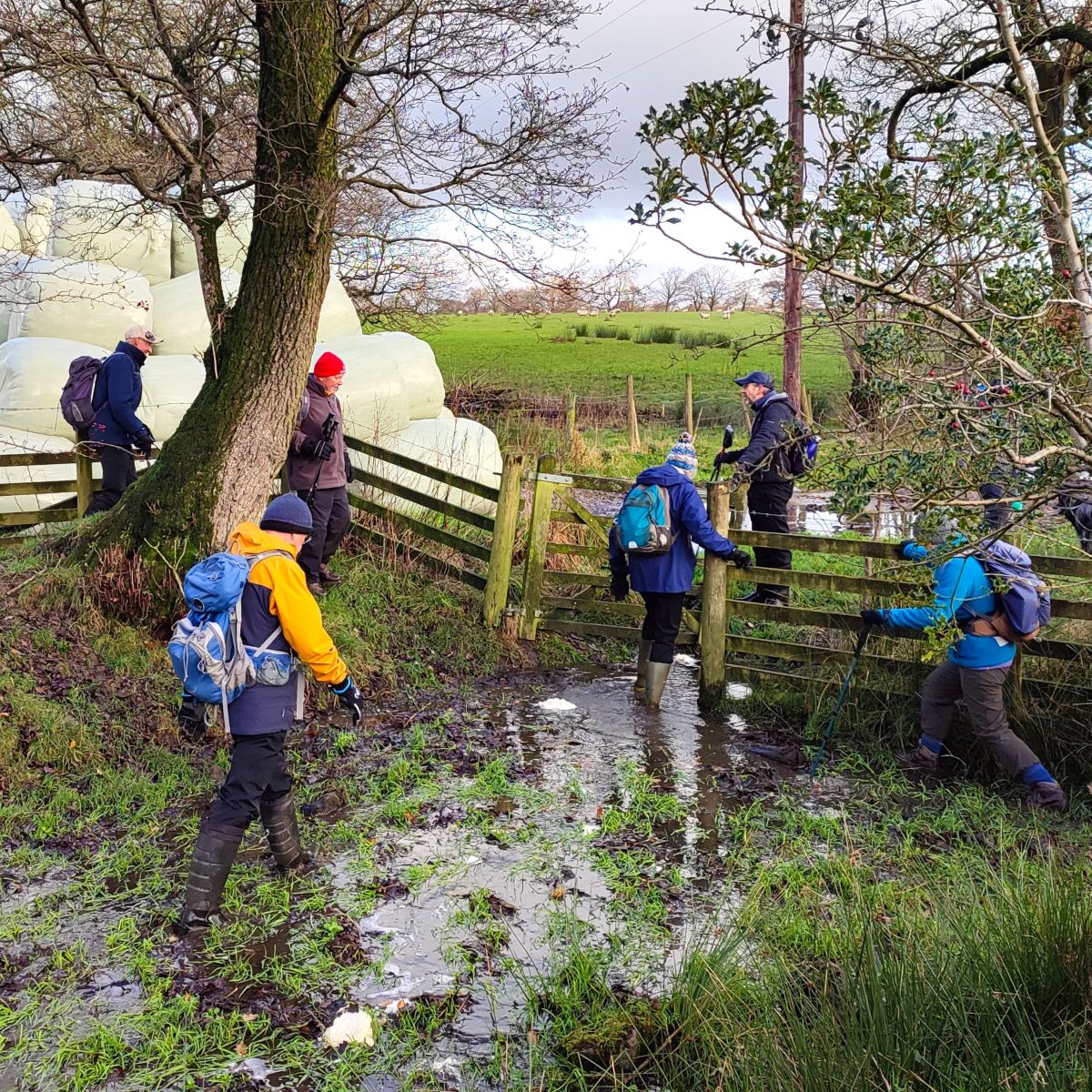
The walk starts by crossing the road bridge next to the car park and then takes the stile on the right hand side of the road into the fields next to the beck. We follow the beck upstream for about 1km – the path is clear, and navigation will not be a problem. Along the way we have good views of the village to the right, and slightly behind us, and then at the bend in the Skirden a great view of the valley up toward Forest Becks – think John Constable.
After this view point the path continues North heading for Oak Trees Nursery – we are further away from the beck now.
At the nursery we exit onto the road and turn right to walk up the road for a little while. Care is needed here as there is no pavement. The road however is reasonably wide and there is good visibility.
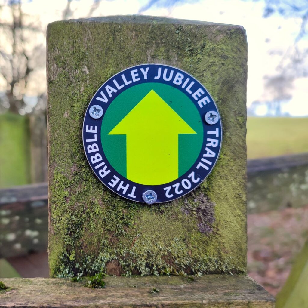
You will notice a public footpath sign on the left after about 300m. This is tempting but is not our route today – it is part of the Ribble Valley Jubilee trail (which we do use later on), so might be worth coming back to explore another time.
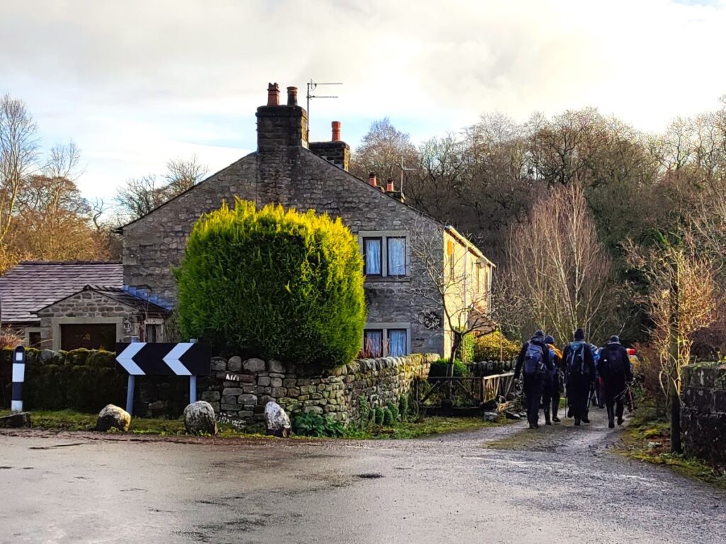
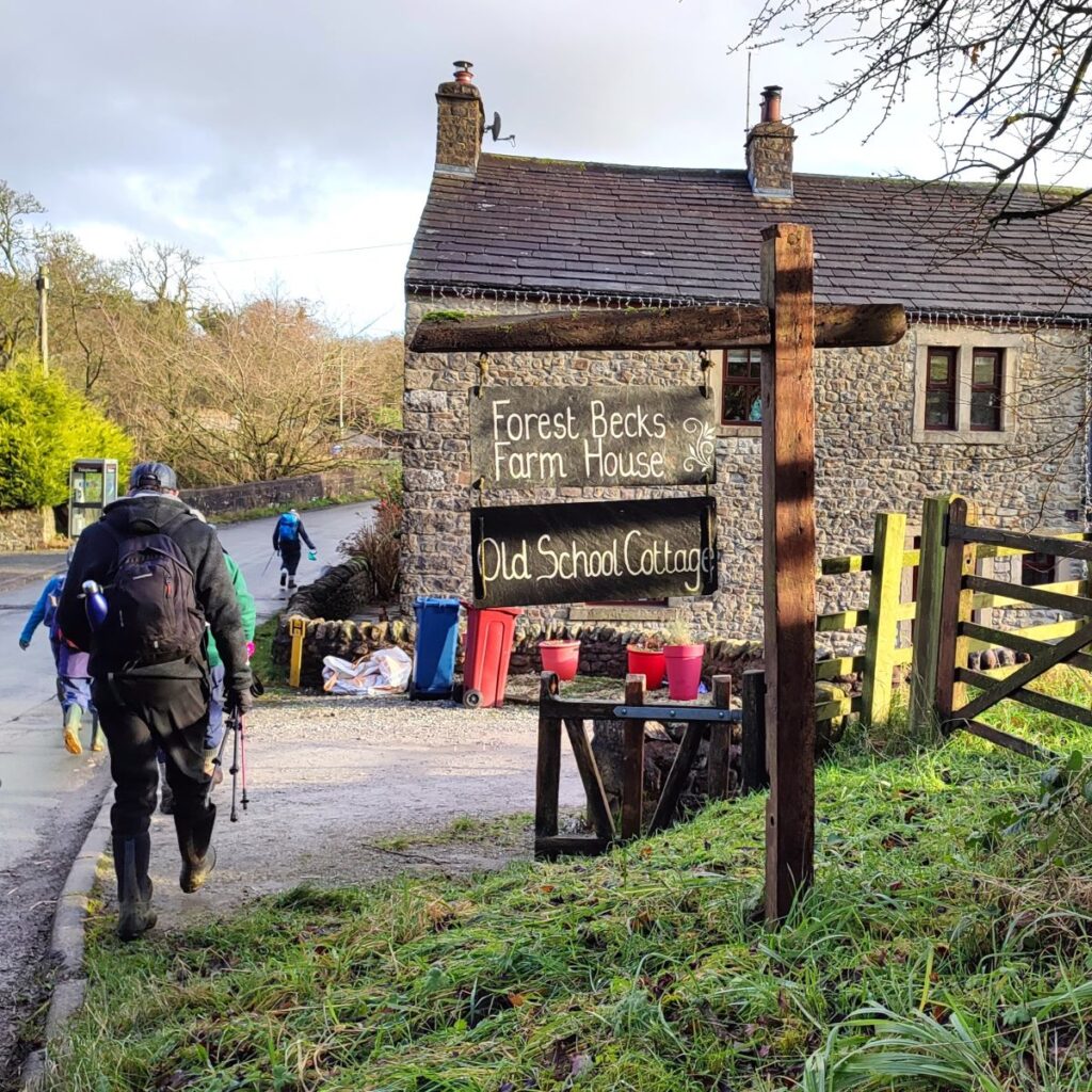
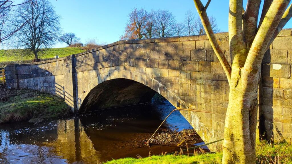
500m further on, the road bends round to the right and we arrive at Forest Becks where we note a Grade II listed bridge, and an old schoolhouse. We need to leave the road just after the bridge and take the lane up past the cottages to find a wooden footbridge over the stream.

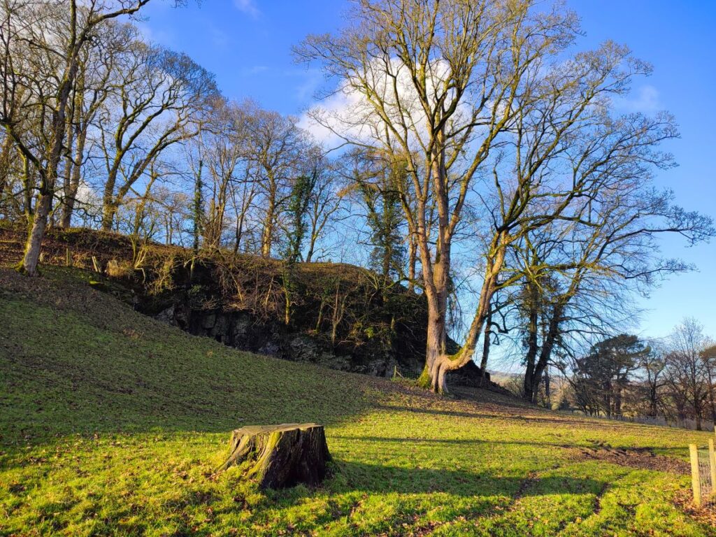
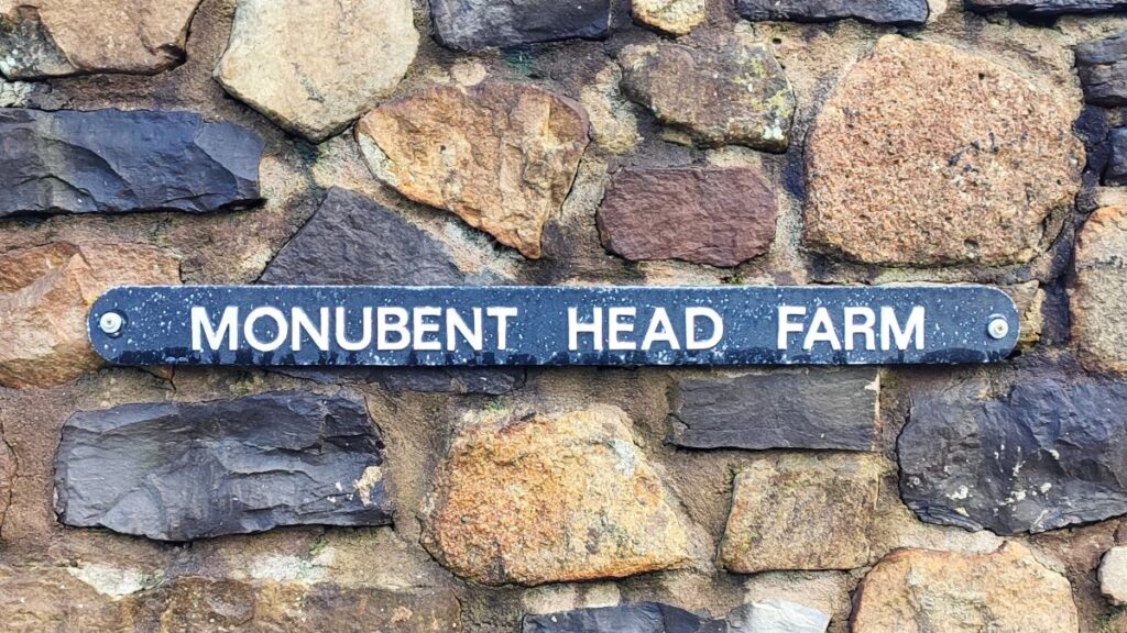
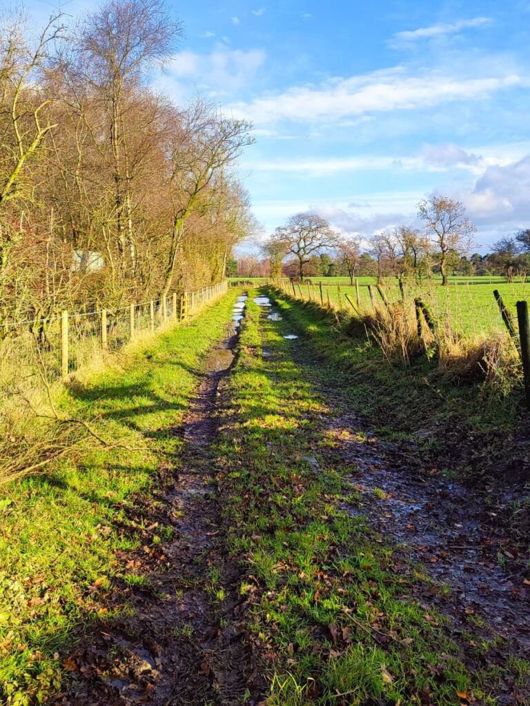
Beyond the bridge there is a gate on the left hand side, and we take this to access the western end of Monubent Lane. This would once have been a green lane running from Monubent Head to Forest Becks. The eastern end is still used and is metalled, but the start at Forest Becks is now quite overgrown and definitely passable only on foot – even then you may notice from the GPX data on our route that we deviated from the “official” public right of way by a few metres to find a dry route – as ever use your discretion and be respectful of the landowner’s property.
The rather unusual name Monubent dates back to the 13th century – when it was listed as Manebent and is not connected to the modern word monument in any way – it in fact means a place with many rushes in old English – given the rather wet terrain at this point, it all starts to make sense.
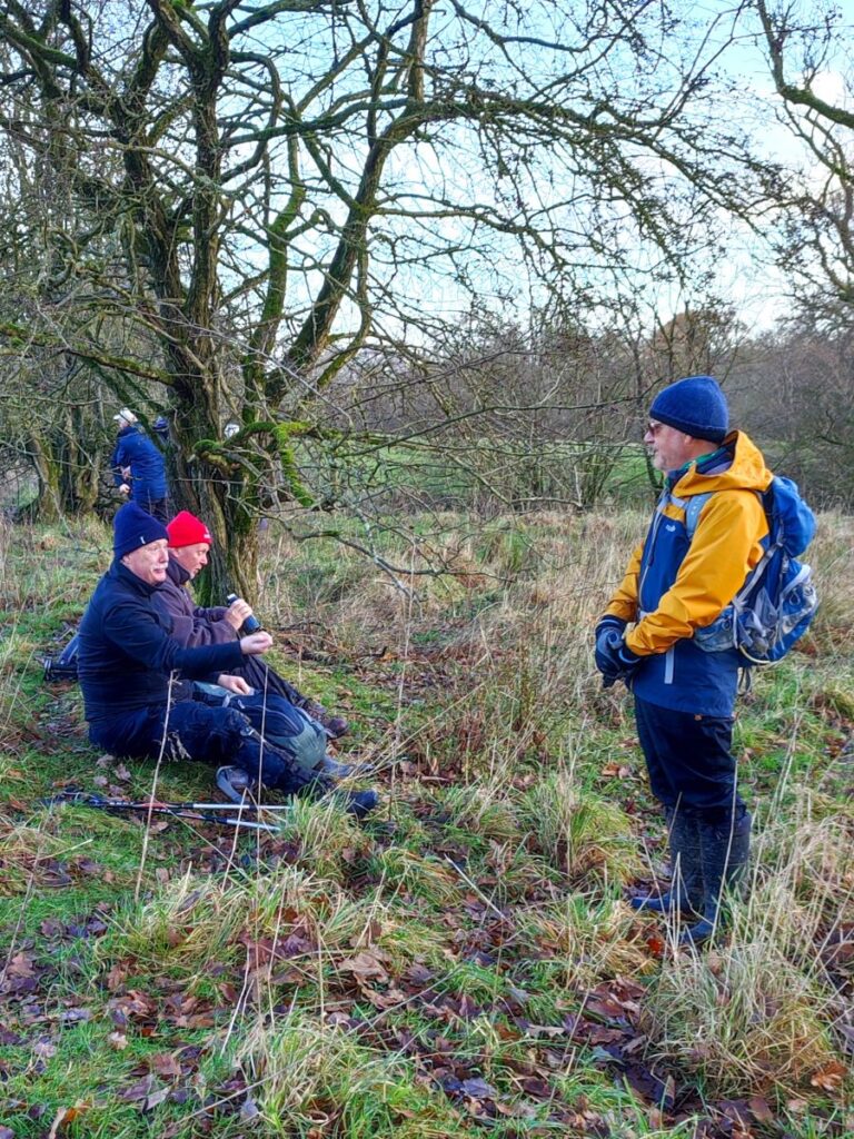
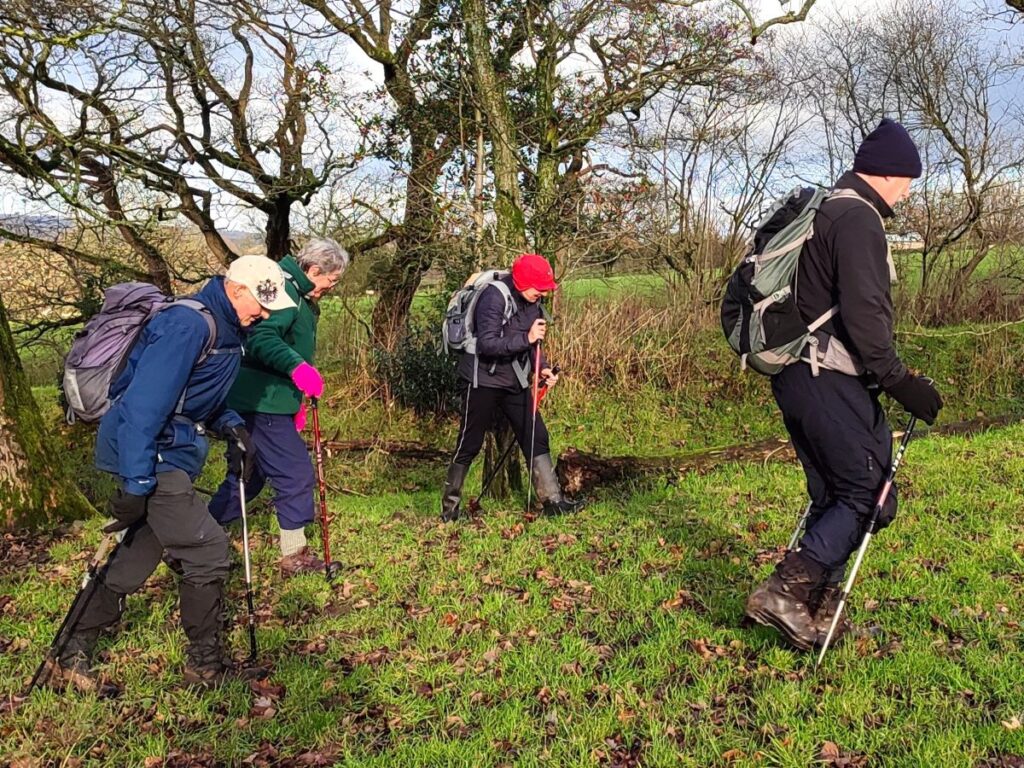
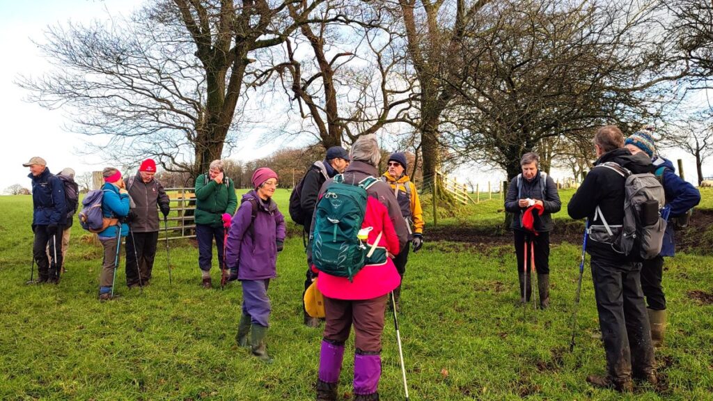
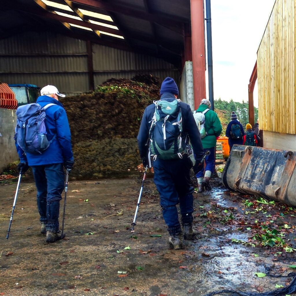
We progress up the green lane until we find a gate which takes us on to the still extant section of the lane. This is a sheltered space, and so a good spot to take a break, after which we press on up the lane to arrive at Monubent Head Farm.
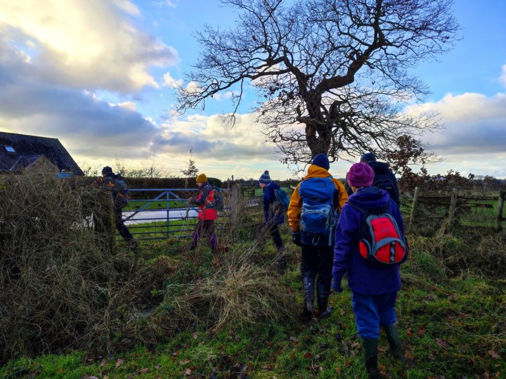
The path now continues through the farm yard and through the gap between two barns to exit onto flat pasture behind the farm – we keep to the right of the pasture as we head towards woodland known as Closes Plantation, and then need to spot the point at which the path crosses into the fields on the right and then heads to the left of the slurry lagoon to a stile onto the farm access lane.
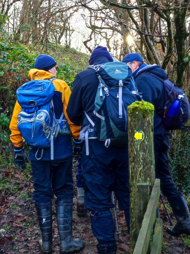
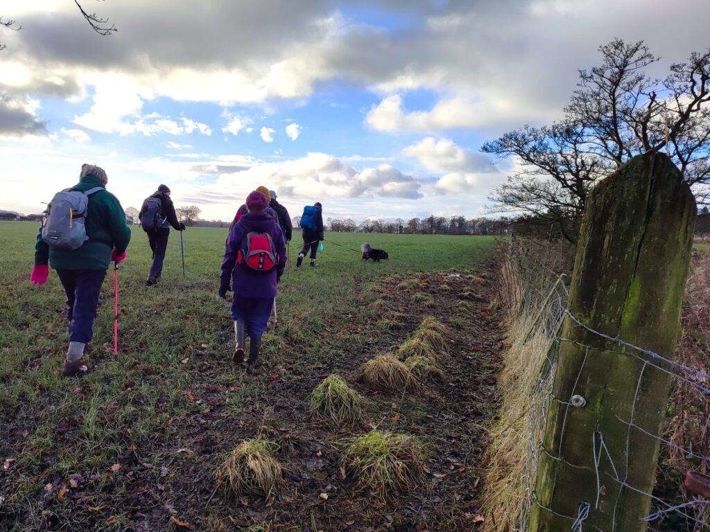
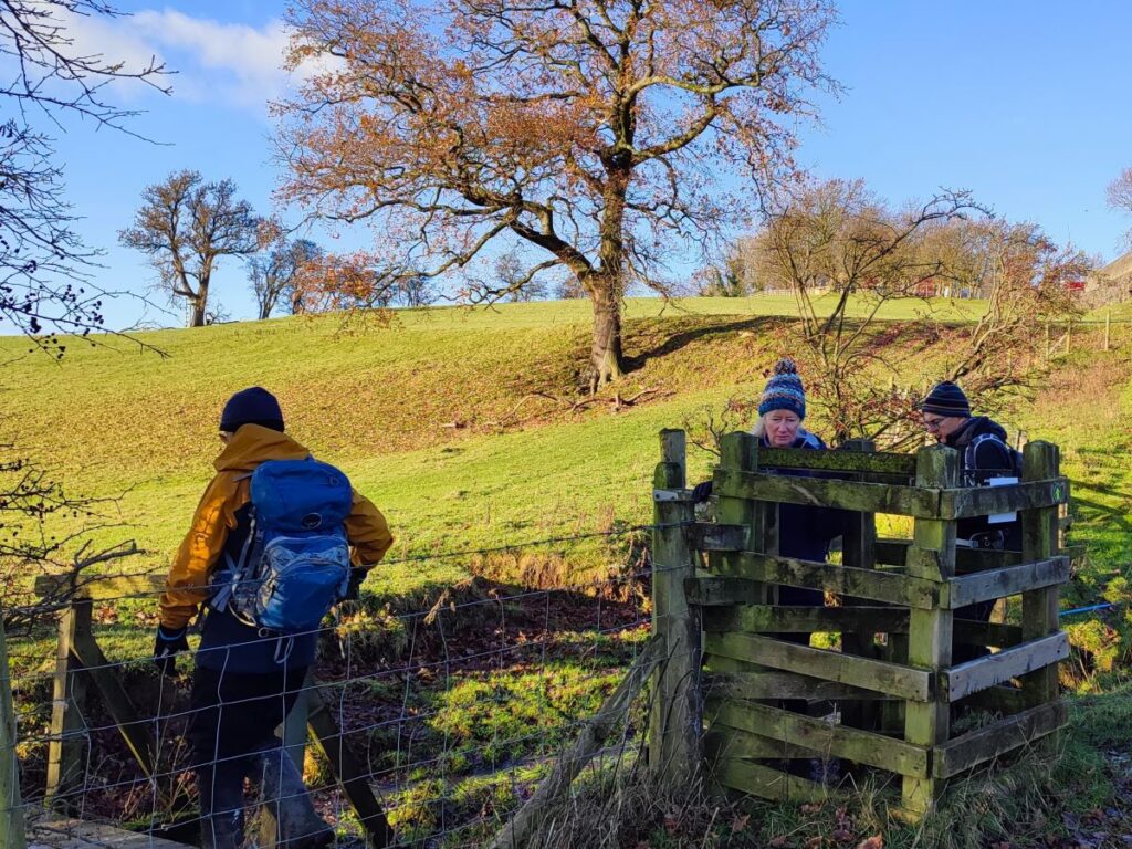
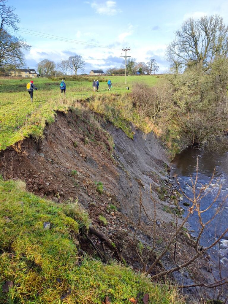
At the lane, you will see a stile directly ahead – but inaccessible behind a new fence complete with lots of barbed wire. Don’t worry – the path has shifted a little to the left and is still accessible. We take the new path, then cross the field heading southeast. At this point the “official” path as marked on the OS Map is difficult to see, and as you will notice from the route marked on the map on our website, we possibly went a little bit too far before we saw the fence line and came back to the route along the field edge south to the minor road at Raygill Moss.
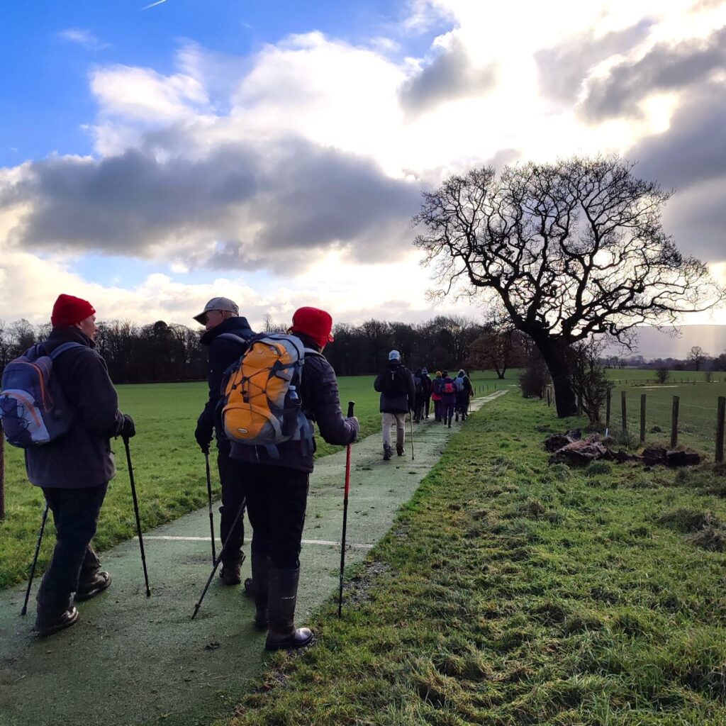
Once at the road, we cross, and take a clearly marked public footpath to the right of the house – we are now on the Ribble Valley Jubilee Trail – and so like all long distance paths, the route from here is well used and generally easier to navigate.

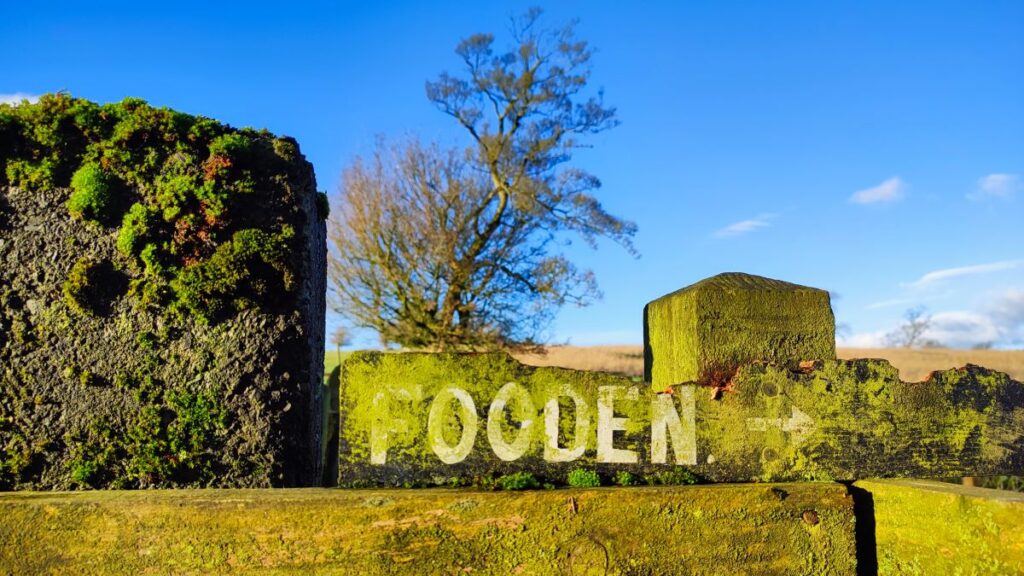
One curiosity is that the path comes back round the back of the house and picks up a track which is covered with a recycled sports surface – an artificial grass of some kind with marked lines presumably once belonging to pitches. This soon bends slightly to the right, and we follow it so that we are now heading Southwest toward Fooden – which is just 500m after Raygill Moss.
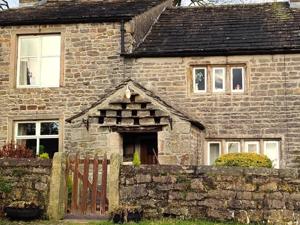
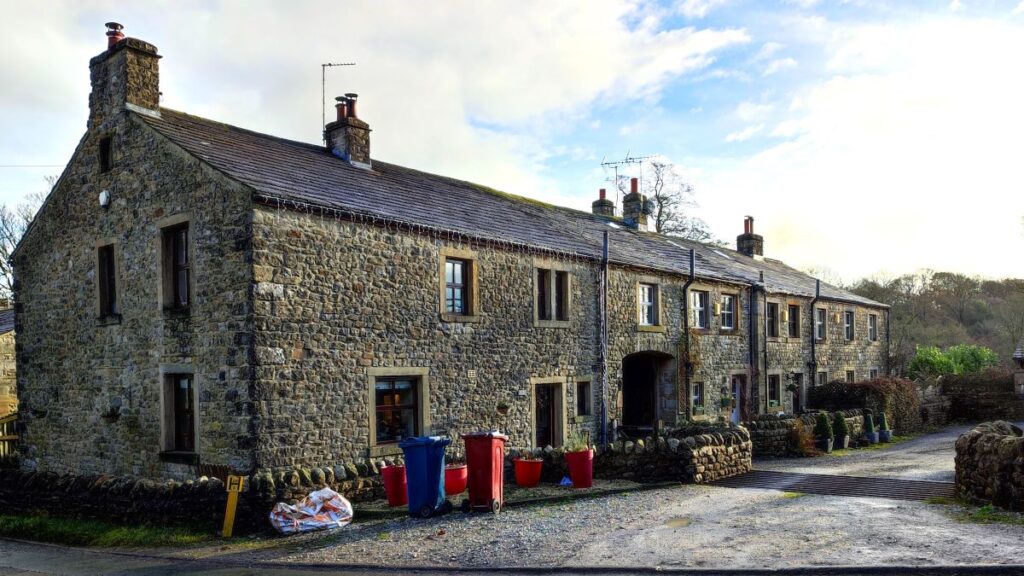
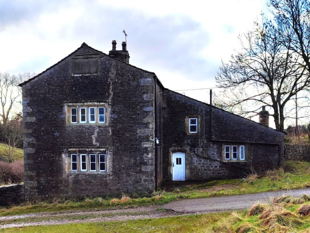
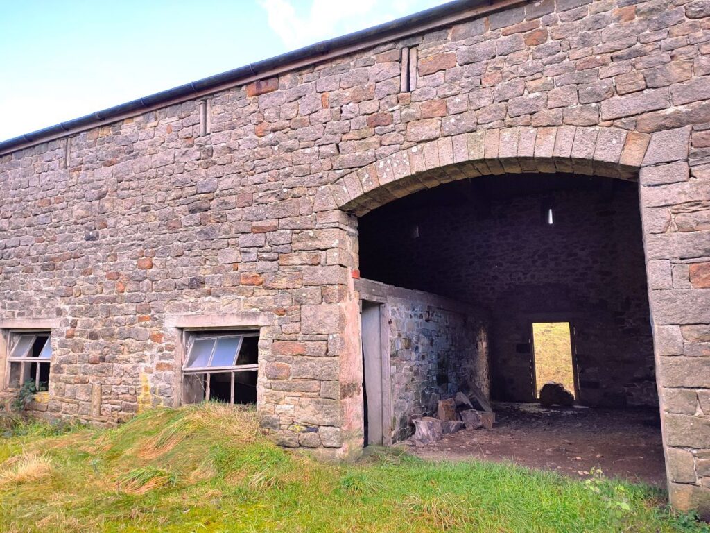
Fooden is a tiny hamlet – essentially the farm – which is where we arrive, a couple of very attractive cottages and the Hall, a grade II* listed building dating from the 17th century.
As we arrive at the farm, we walk in front on the barn and then find a track which heads right and up through the hamlet – we need to be careful not to lose the path here – it continues south so if you find yourself in front of the cottage picture here you have already gone too far – look back toward the farm and you will see some additional signage that will clarify the route.
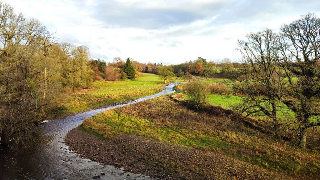
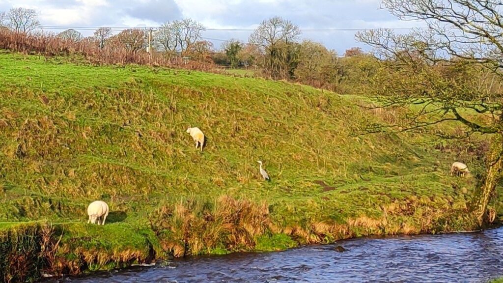
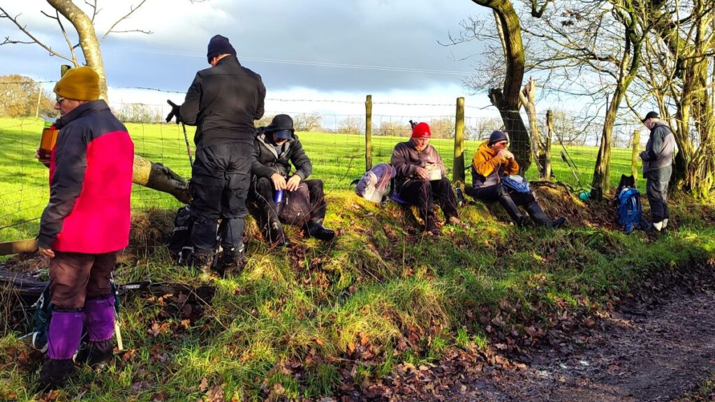
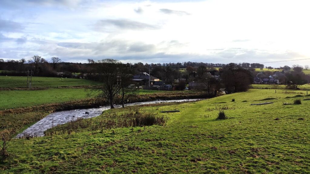
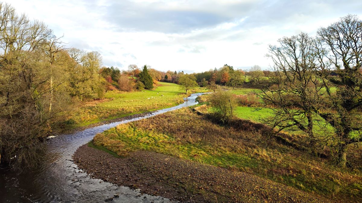
We now follow the Ribble Valley Jubilee Trail for a while, generally heading southwest until we arrive at a viewpoint above a sweeping bend in the Ribble – this makes a great place to stop for lunch.
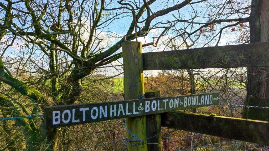
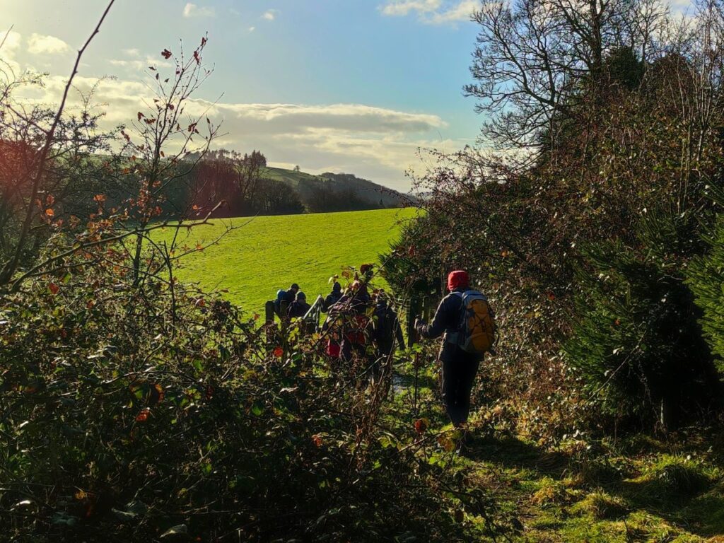
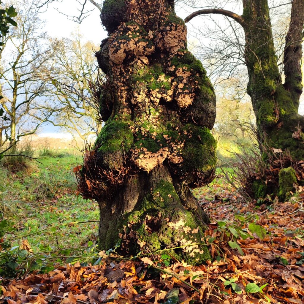
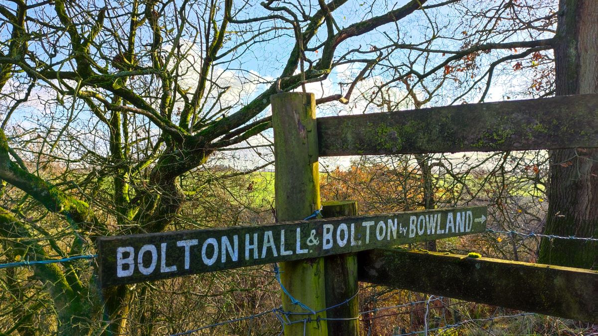
We then continue through a stile with a distinctive roundel and a sign for Bolton Hall. We are still on the Ribble Valley Jubilee Trail, and the path follows the woods around the meandering path of the river for a while – so we have woodland to our left and open farmland to our right. Don’t worry if you can’t see the river – it’s out of view for most of this section.
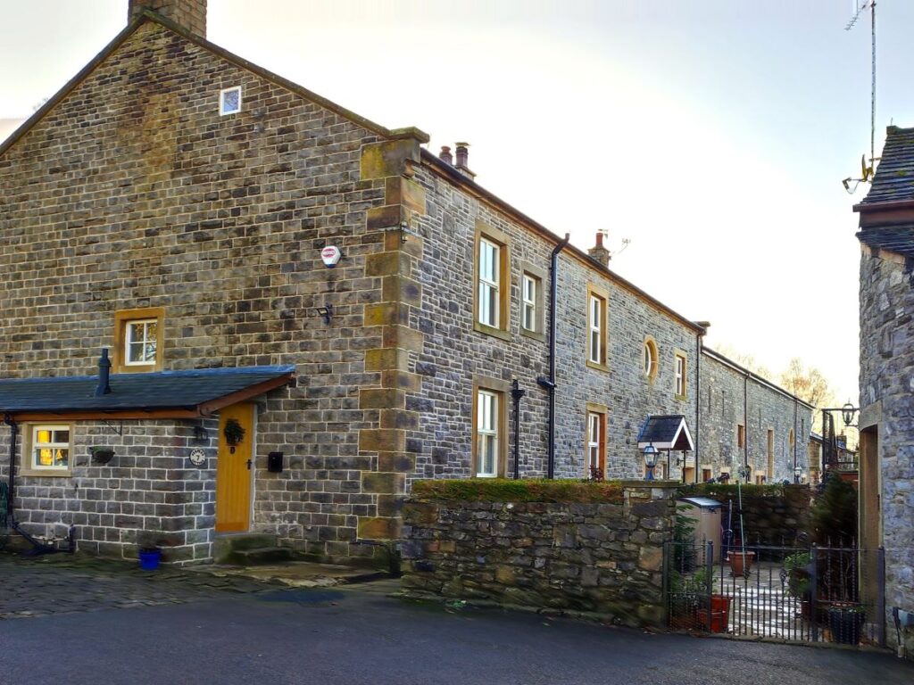
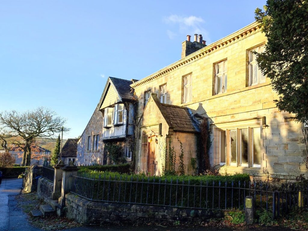
The estate through which we are now walking was the grounds of the once magnificent Bolton Hall – demolished as recently as 1958. The site of the old hall and grounds are now known as King Henry’s Mews and are private properties converted in 1997 from the estate’s remaining outbuildings and stables.
There is an excellent section on the Bolton by Bowland village website with much more detail about the hall and its history – along with some excellent pictures taken prior to the demolition. Click here to go to that site.

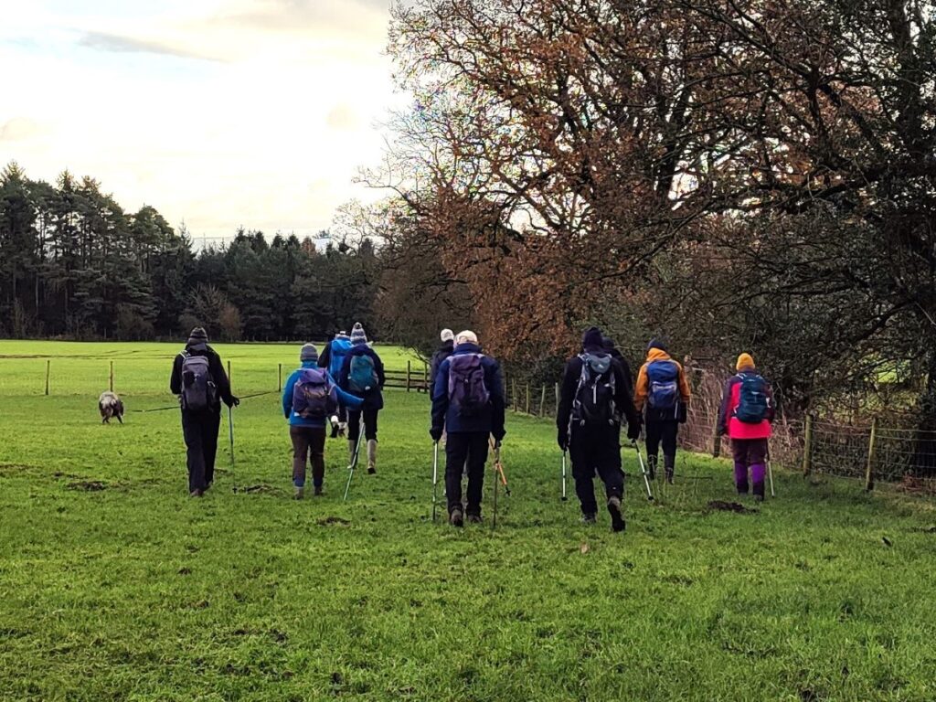
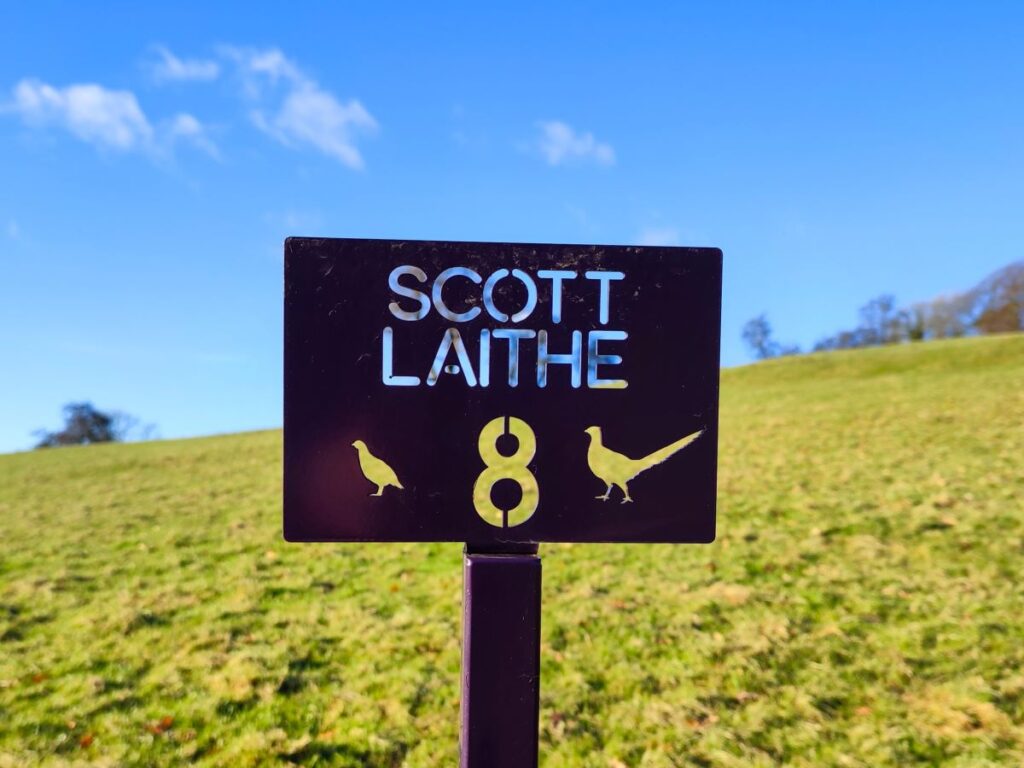
We soon leave the woodland behind and find ourselves walking west though open farmland – keeping to the fence line on our right. The route is generally easy to see here – and once we get to Scott Laith, we are further assisted by a series of markers to identify the right route through the fields as we approach Bolton Hall Farm.
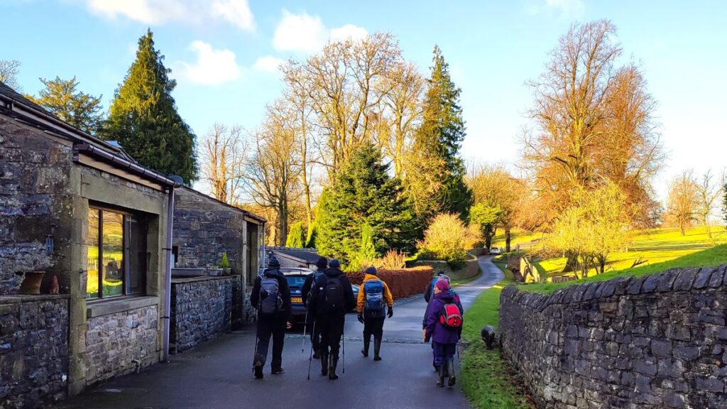
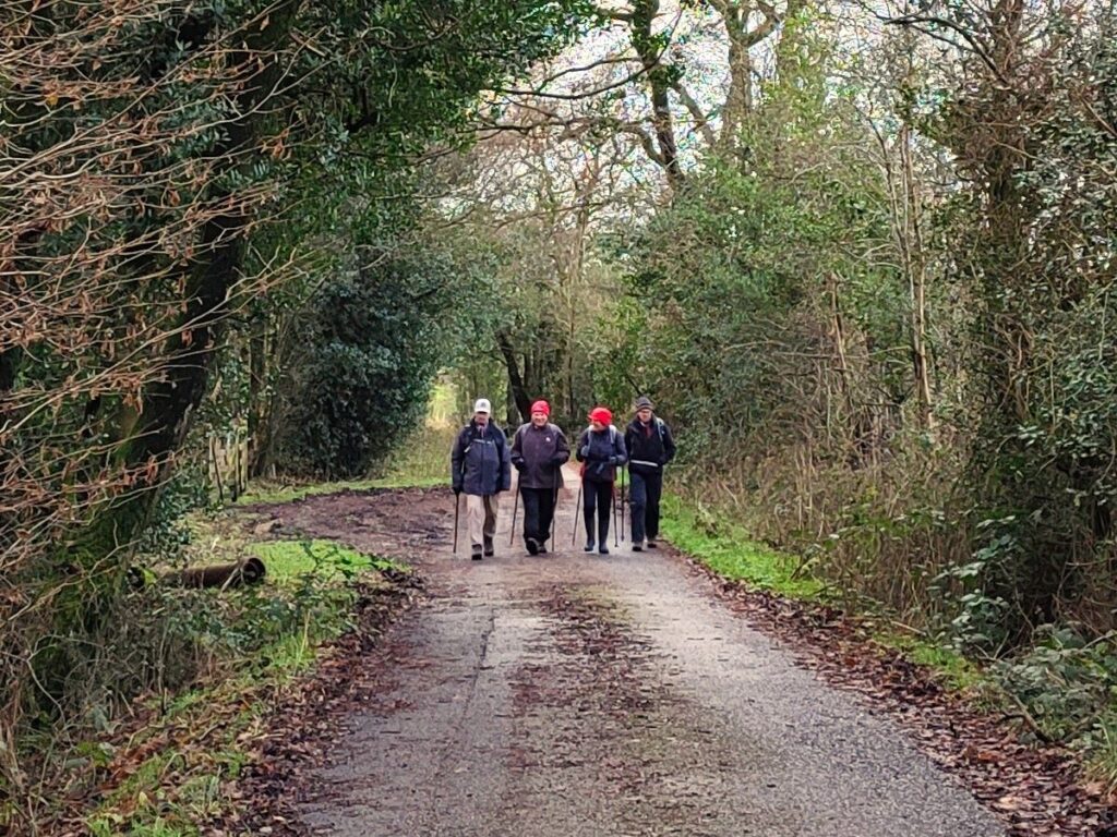
As the farm comes into view, we head for the cluster of buildings and arrive at a well surfaced road that services the estate – we head right here and stick with the road through the private grounds until we arrive back at the village.
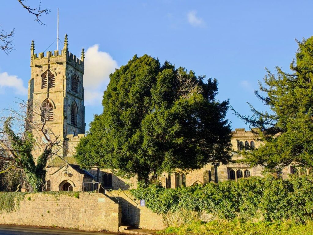
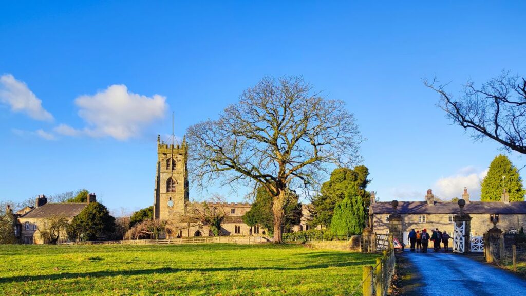
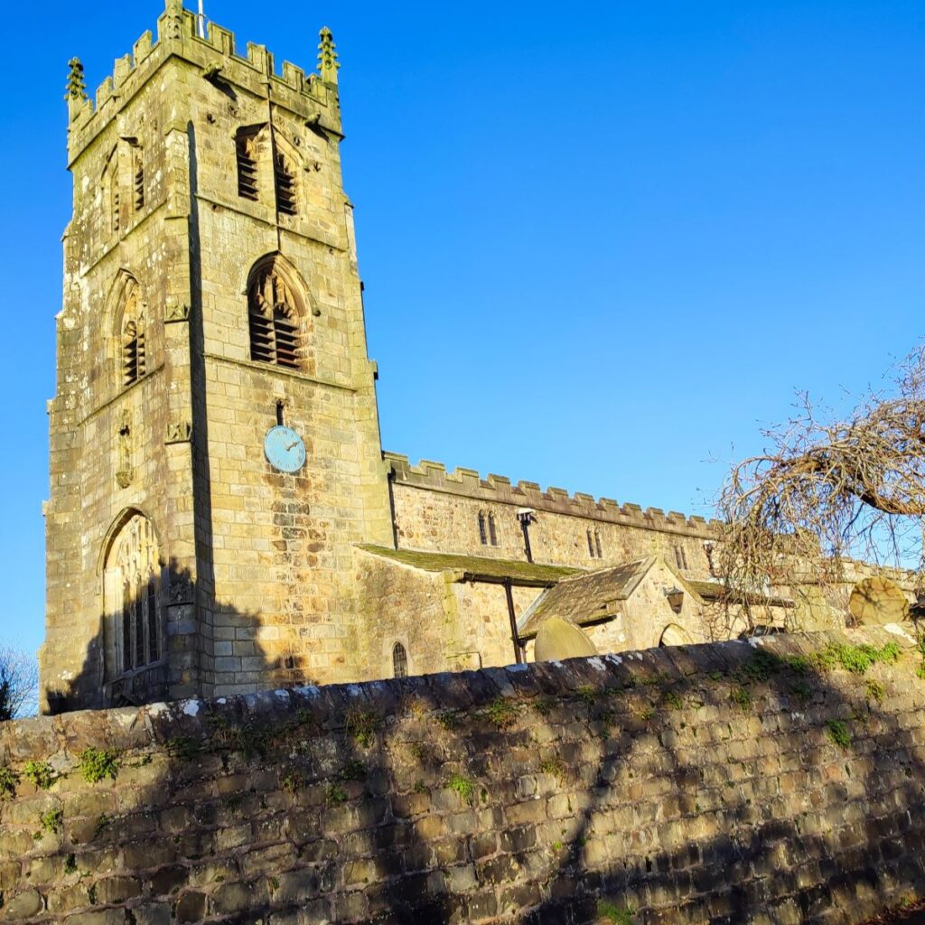
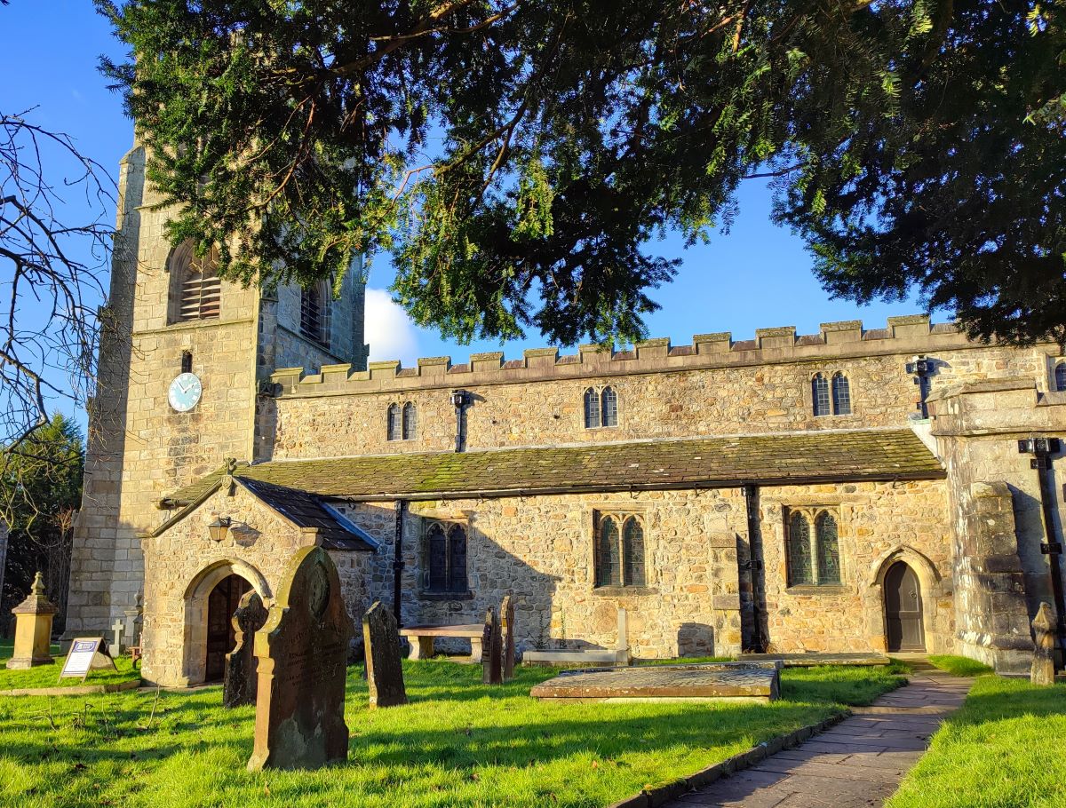
Once we arrive at the village at the end of the estate road, we see the church of St Peter and St Paul.
There has been a church on this site since (at least) 1190, although the earliest remaining structures still present on site are from the 13th century. Almost all the church we see now dates from the middle of the 15th century, when it was built by Sir Ralph Pudsay, the Lord of the Manor of Bolton. He funded the building works which were completed in about 1466. As you would expect for a Bentham Footpath Group walk, the Lancaster architects Austin and Paley were involved somewhat later, completing a major restoration in 1885-1886. Further restoration to the tower took place in 1994.
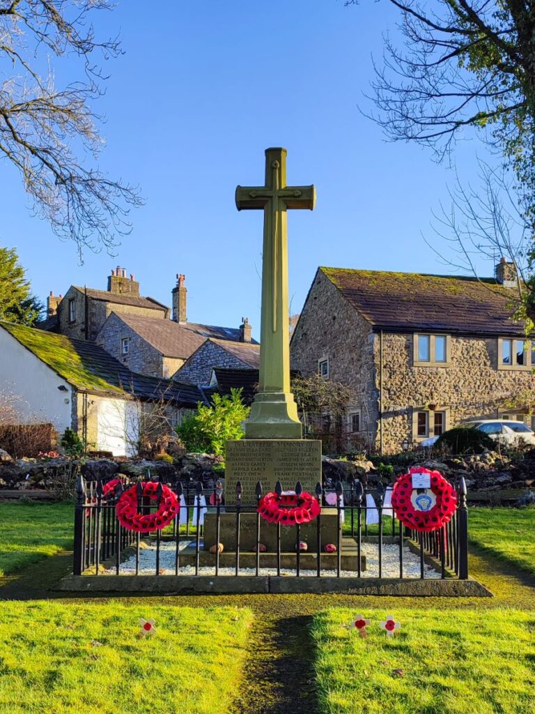
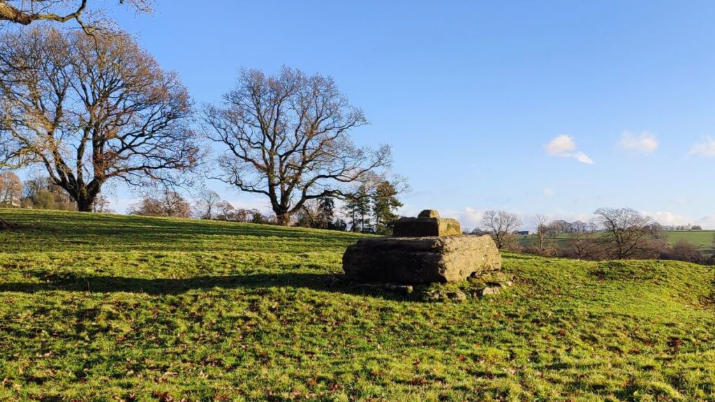
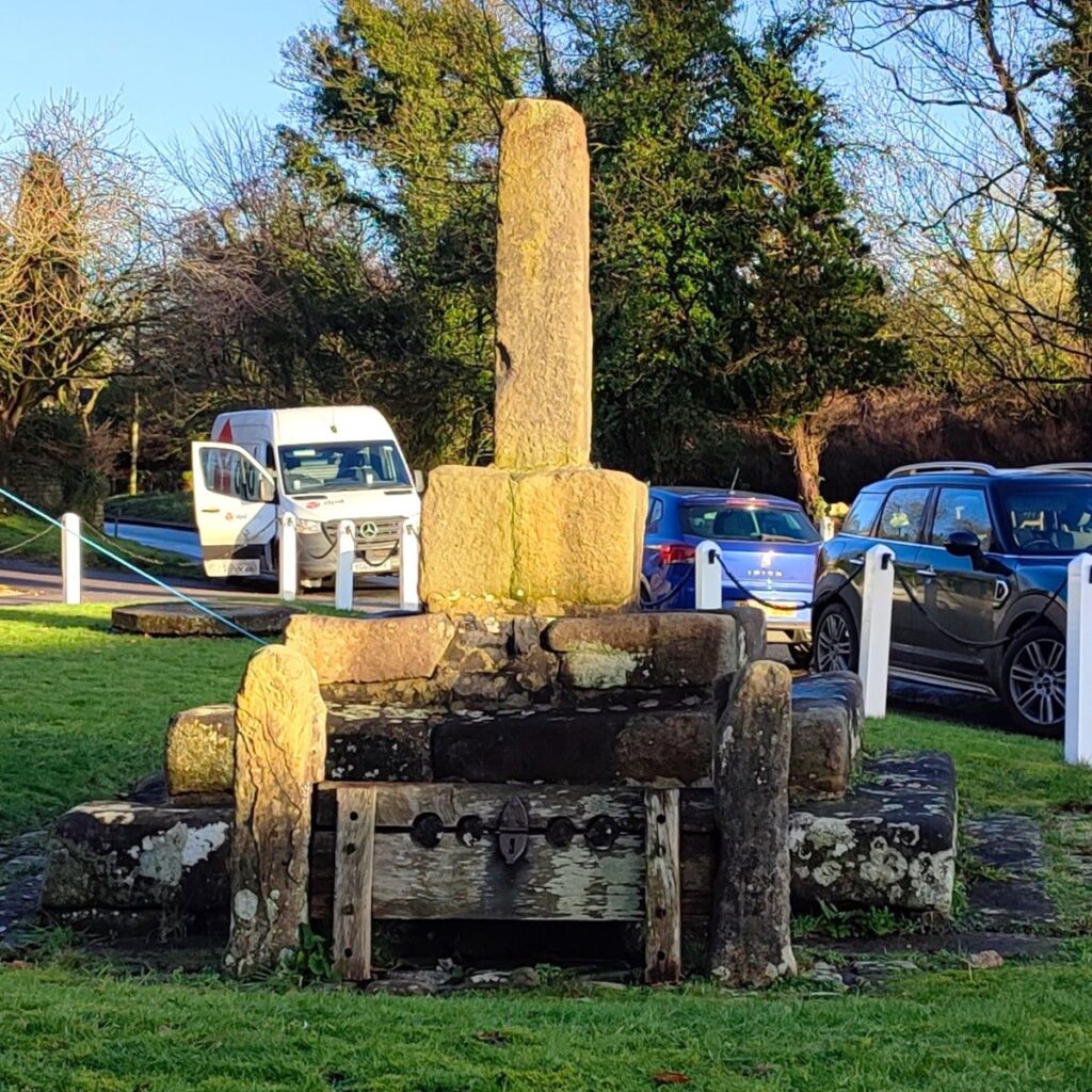
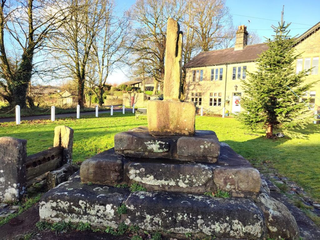
To finish the walk, we head left, past the church and down to the pair of village greens, where we note a well-tended war memorial – complete with poppies still present during our walk, and opposite that the remnants of a more ancient stone cross and a set of stocks.
From here it’s just a short stroll past the pub to the car park where the walk ends
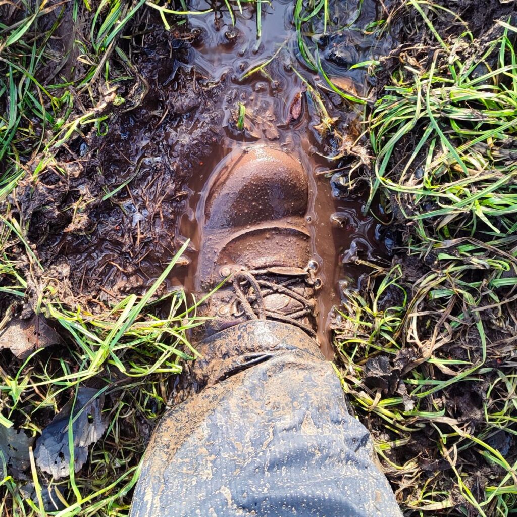
Please note that although this is a short and relatively flat walk which we classify as easy, the ground can be very wet in winter, making sections “heavy going” so if you genuinely need an easy walk schedule this one for a dry period! It is also fair to say that navigation will be easier if you take a GPS enabled device with you and use our downloadable trail data.