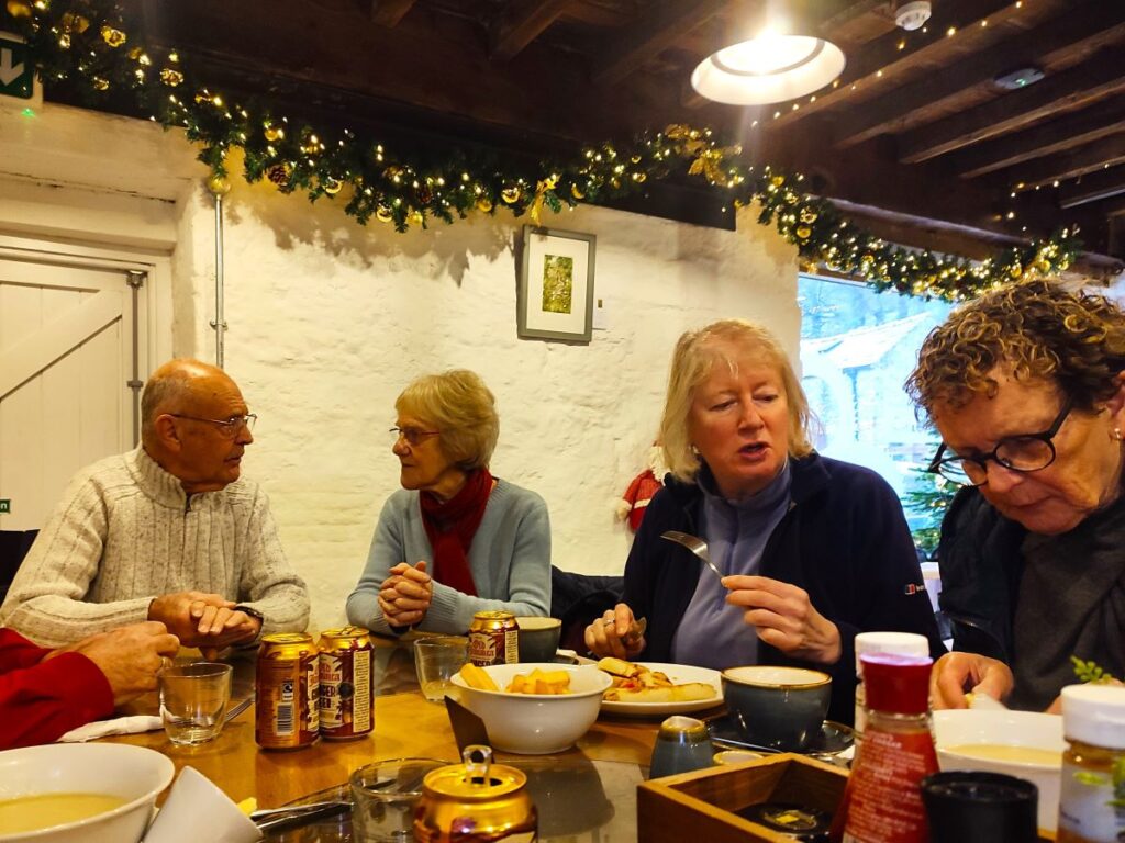
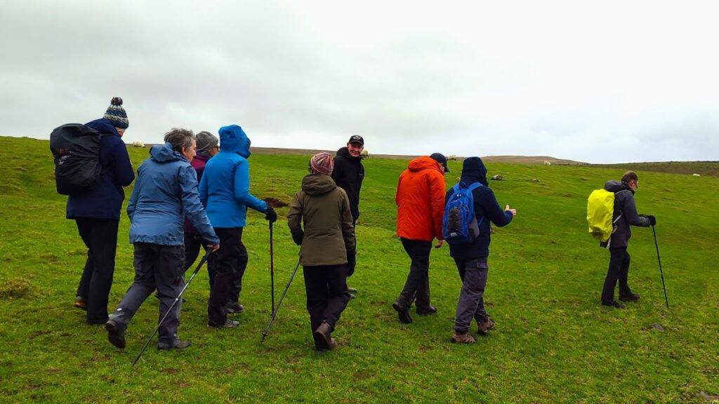
This walk was designed to be brief such that as a group we could meet as usual yet be finished in time to reconvene with friends and family at the Old Sawmill in Clapham for a convivial meal.
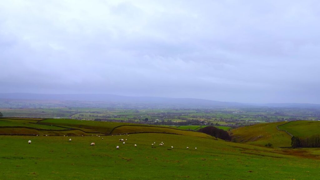
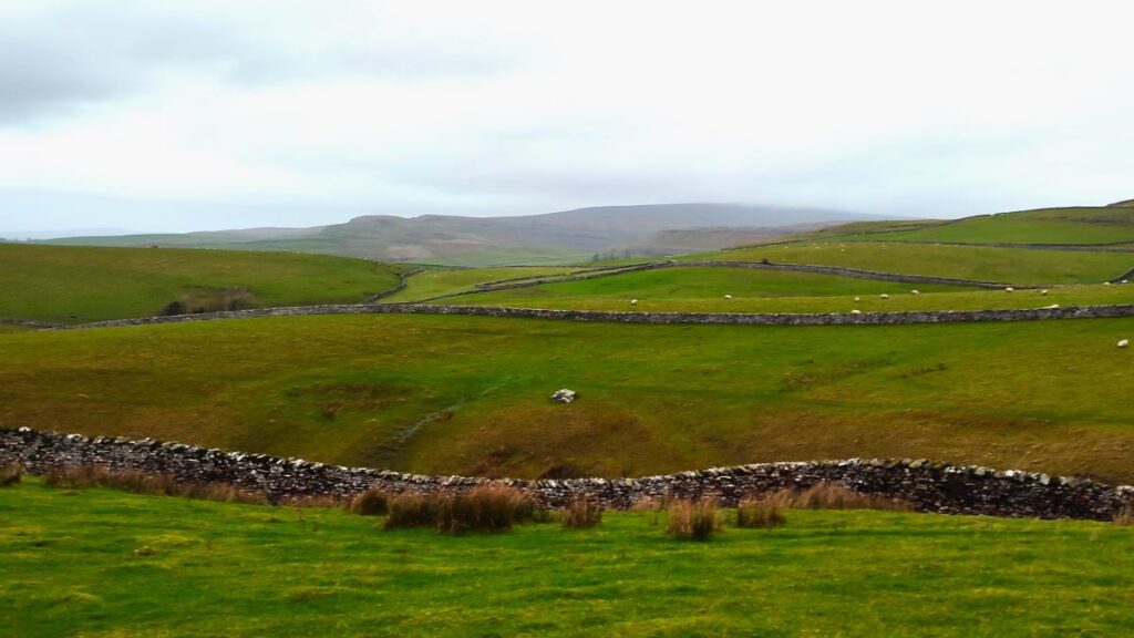
Don’t go thinking that this walk is any the lesser for being short and sweet though – it goes far enough up Fell Lane (one of the routes up Ingleborough) to give good views of the peak, and we have Ingleton and the Lune Valley to enjoy too.
A brief look at the OS map will show that this walk intersects with many other footpaths so there are ample opportunities to extend or modify the route – or simply enjoy it as it is: An easy but enjoyable walk that can be slotted into the day with minimal planning.
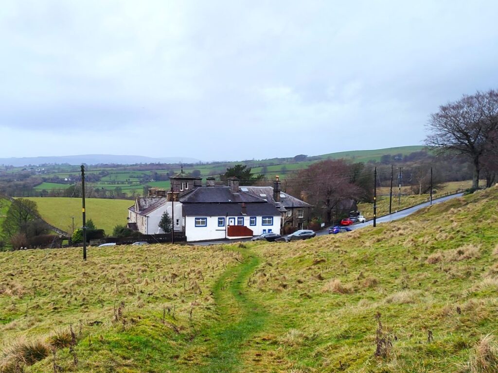
We start from Ingleton – just off the A65. We picked the informal layby at Storrs Common as our starting point – take the B6255 toward Hawes and as the road climbs steeply out of Ingleton, you will see the parking on the right opposite a white and blue bungalow. If you are using Satnav to get there then the address for the house is Hawes Road, Ingleton, LA6 3AN, whilst the what-3-words tag for the parking is plenty.microchip.useful. If you prefer paper maps, then the OS grid reference is SD70177320.
If parking is not available there, then simply return to Ingleton and use one of the public car parks, and walk back up to our start – an added bonus is that this gives you the opportunity to add a stroll around the shops in Ingleton to your day. Alternatively carry on toward Hawes to find the quarry car park 100m or so up the road past the last house, then walk back down to our start.
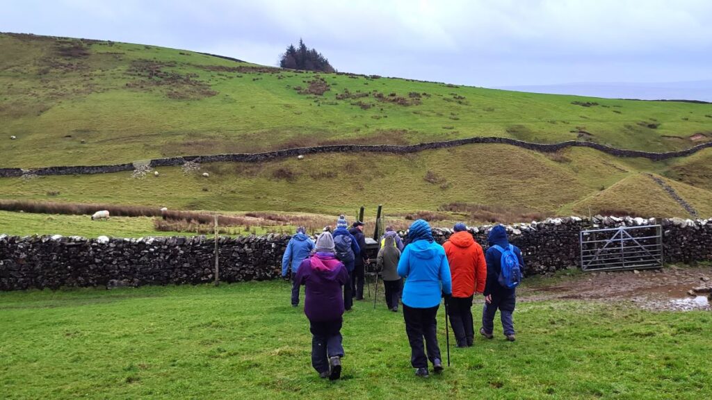
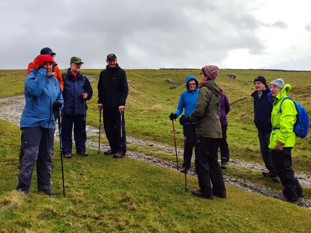
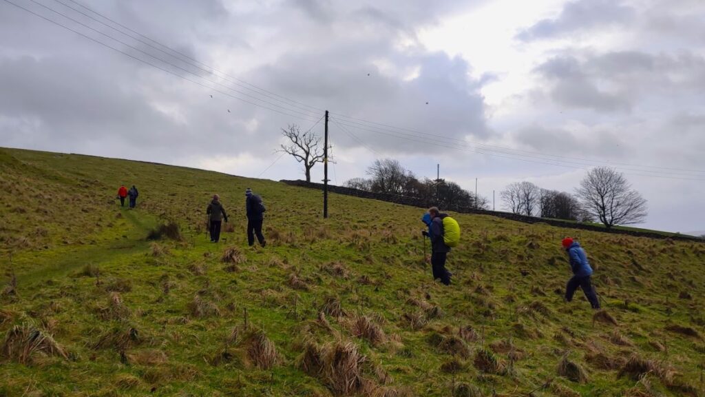
From the parking places we head up onto Fell Lane – this is the main route up to Ingleborough via Crina Bottom, so it’s a well-used route and the way should be quite clear. The path we are on at this point is part of the Pennine Journey long distance route path. This starts at Settle and then heads up to Hadrian’s wall via Ingleton, Whernside, Dent, Sedbergh, Appleby and Alston, before heading east across the wall and returning south via Hexham, Middleton, Bowes, Tan Hill, Buckden and Pen-y-Ghent – a total of nearly 250 miles. Click herefor more detail of the Pennine Journey path.
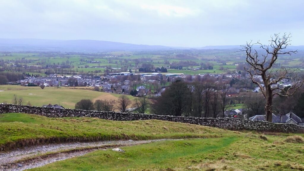
As we initially head uphill over Storrs Common, we notice that the ground shows lots of scarring from old quarrying operations, and there is a still a major quarry slightly further up the road toward Hawes – its clearly visible on our flythrough.
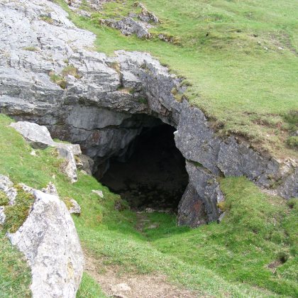
Also of note over to the right – though not explored on the day for time reasons, are the two entrances to Storrs Cave. This picture was sourced from the English Wilderness Blog – a site well worth taking some time to explore.
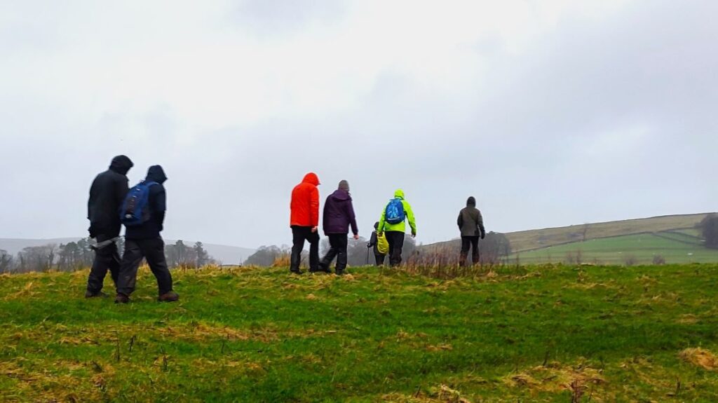
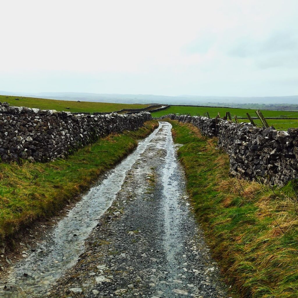
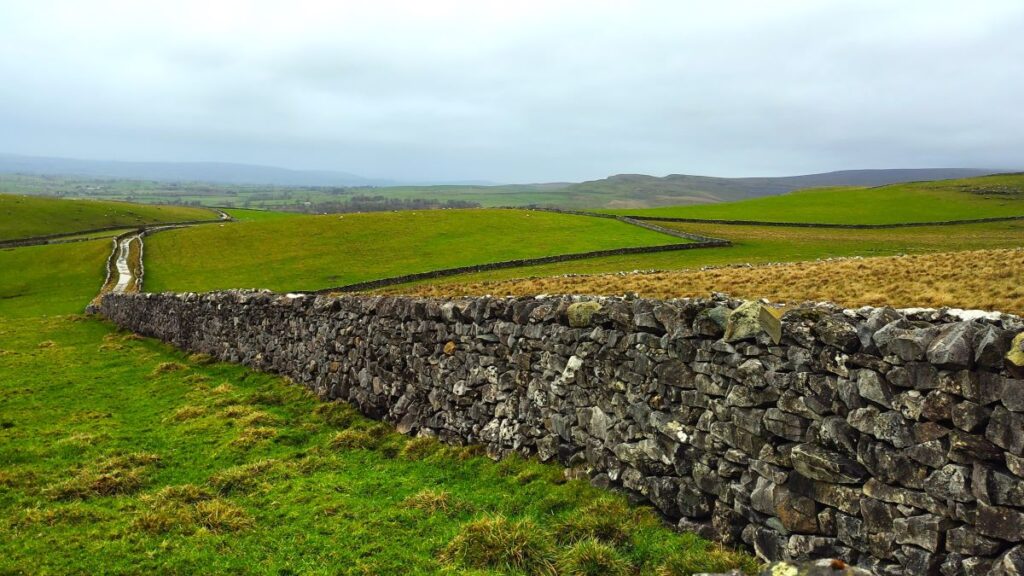
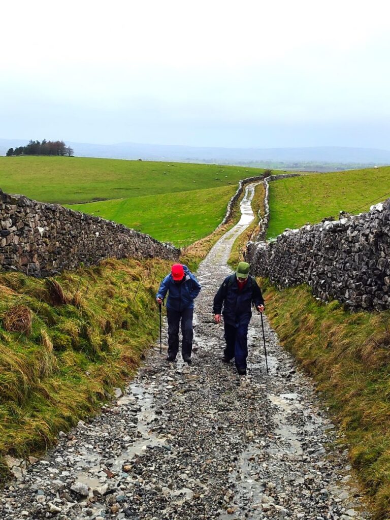
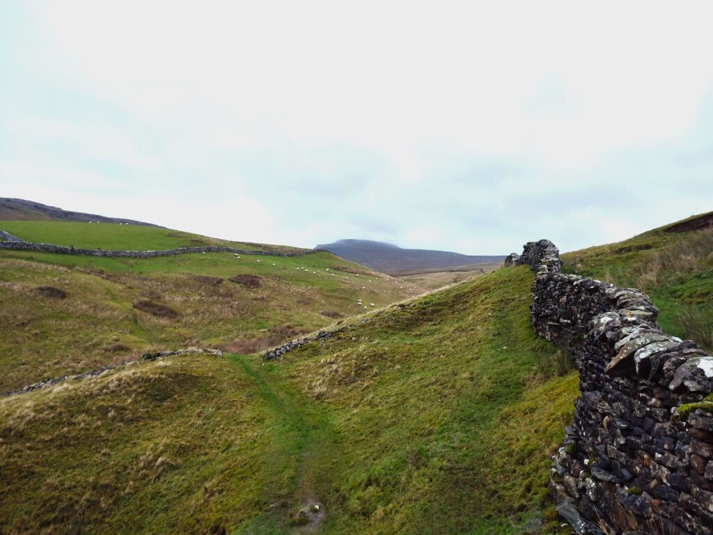
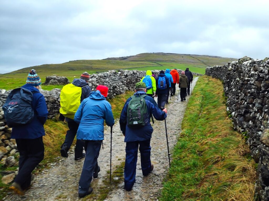
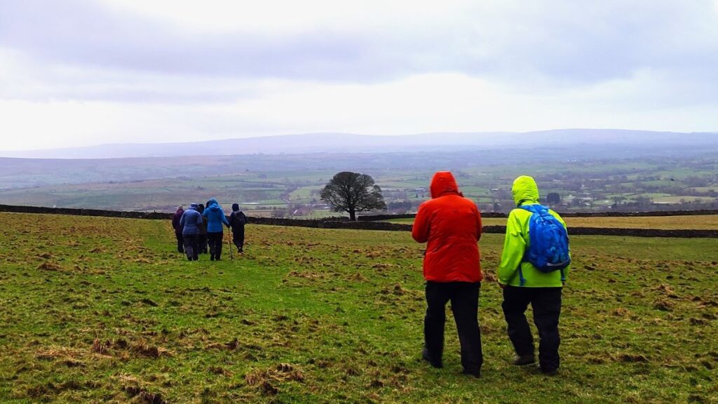
We press on up Fell Lane, soon finding ourselves between drystone walls on a track that could only be in the Yorkshire Dales – the climb is not particularly steep, but even so its worth stopping every now and then to look back and enjoy the views behind – they change constantly as we gain height.
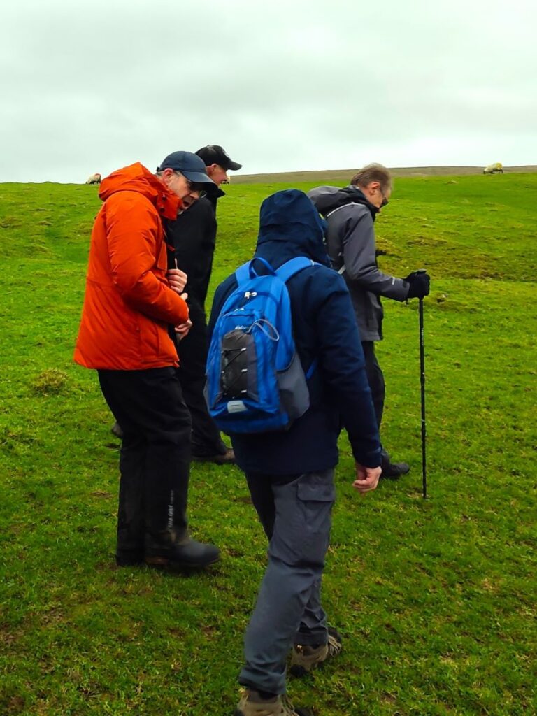
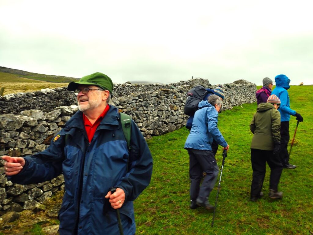
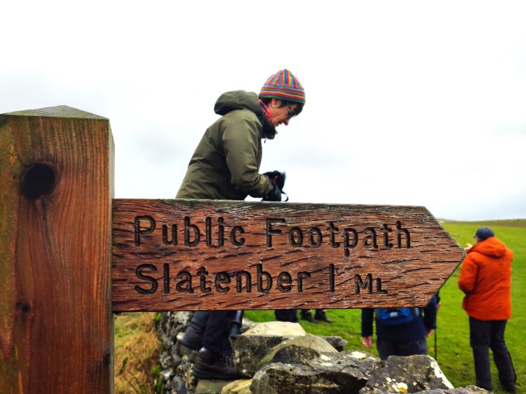
The Pennine Journey path continues upward to the peak of Ingleborough. That’s a great walk and is highly recommended, but it’s not our target today, so we look for a footpath sign on the right hand side of the lane pointing us toward Slatenber. If you find yourself at an isolated farmhouse at Crina Bottom, you have gone too far and need to retrace a little.
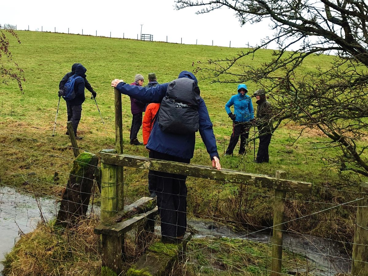
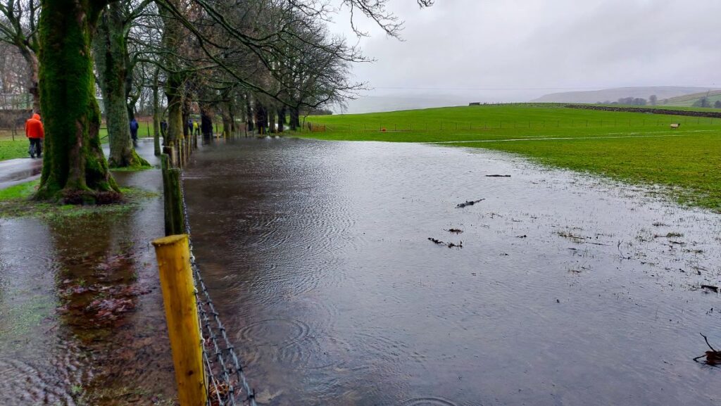
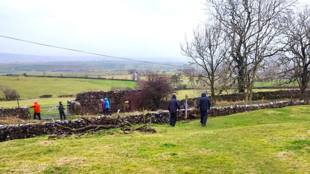
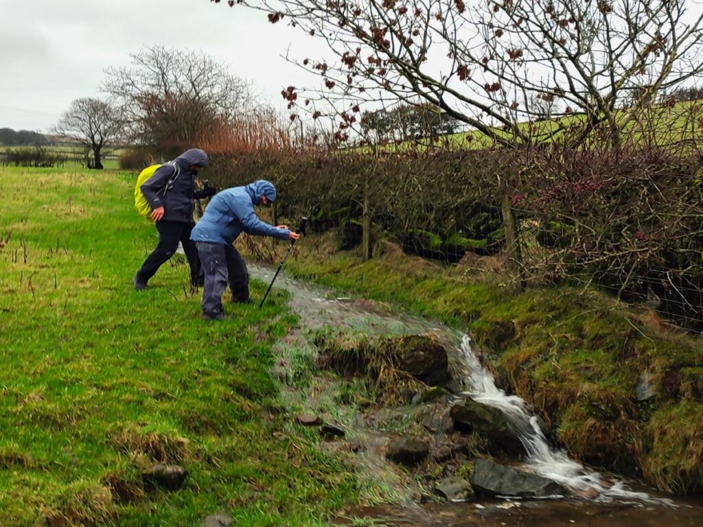
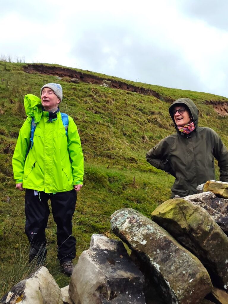
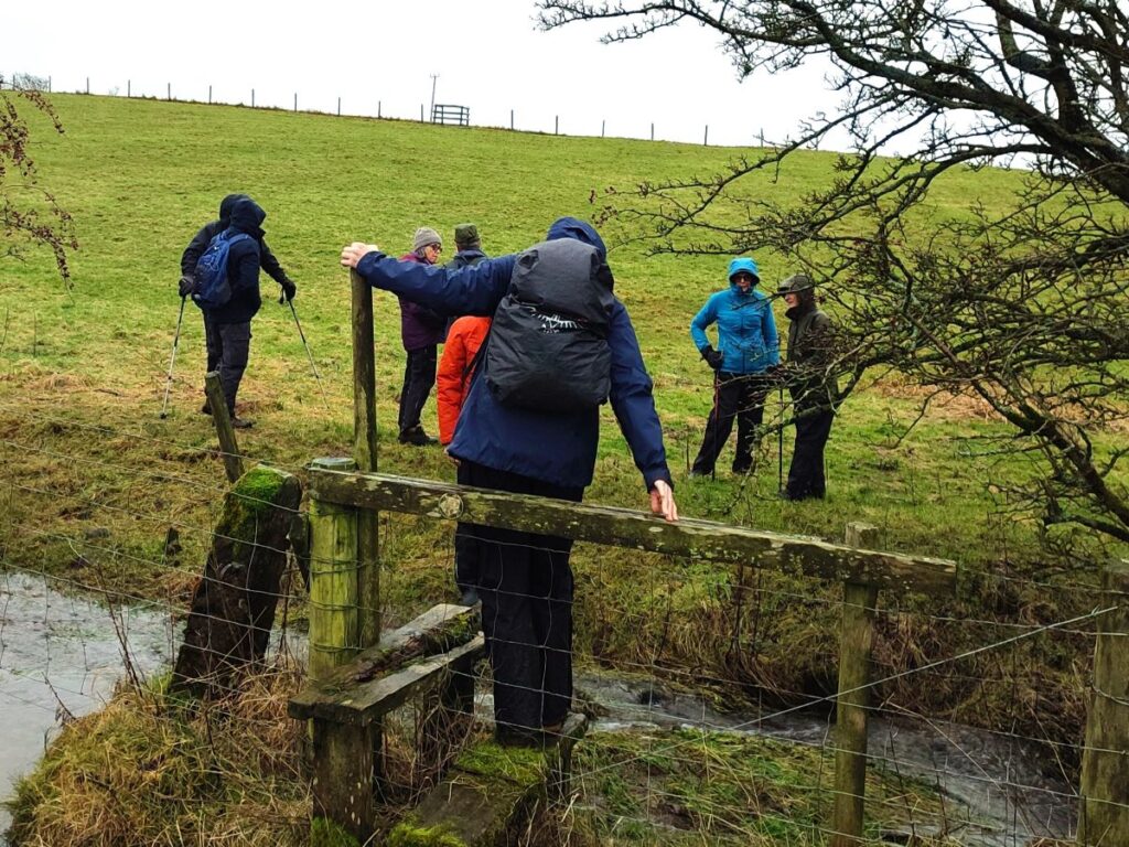
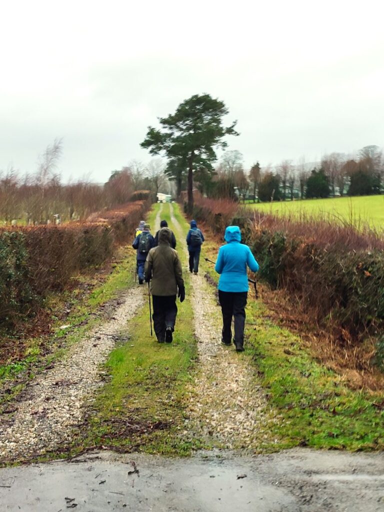
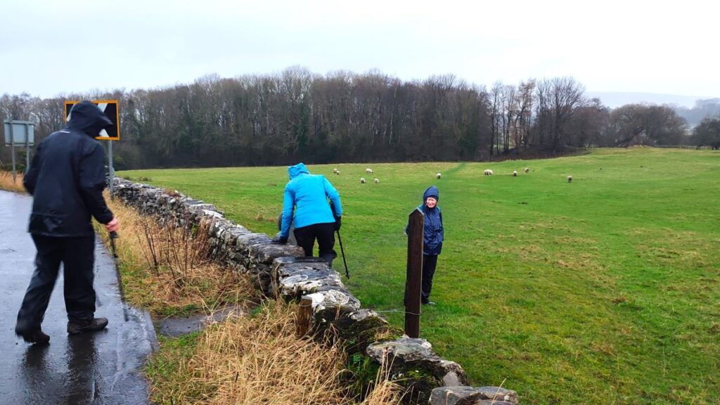
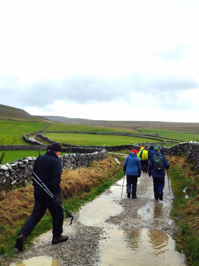
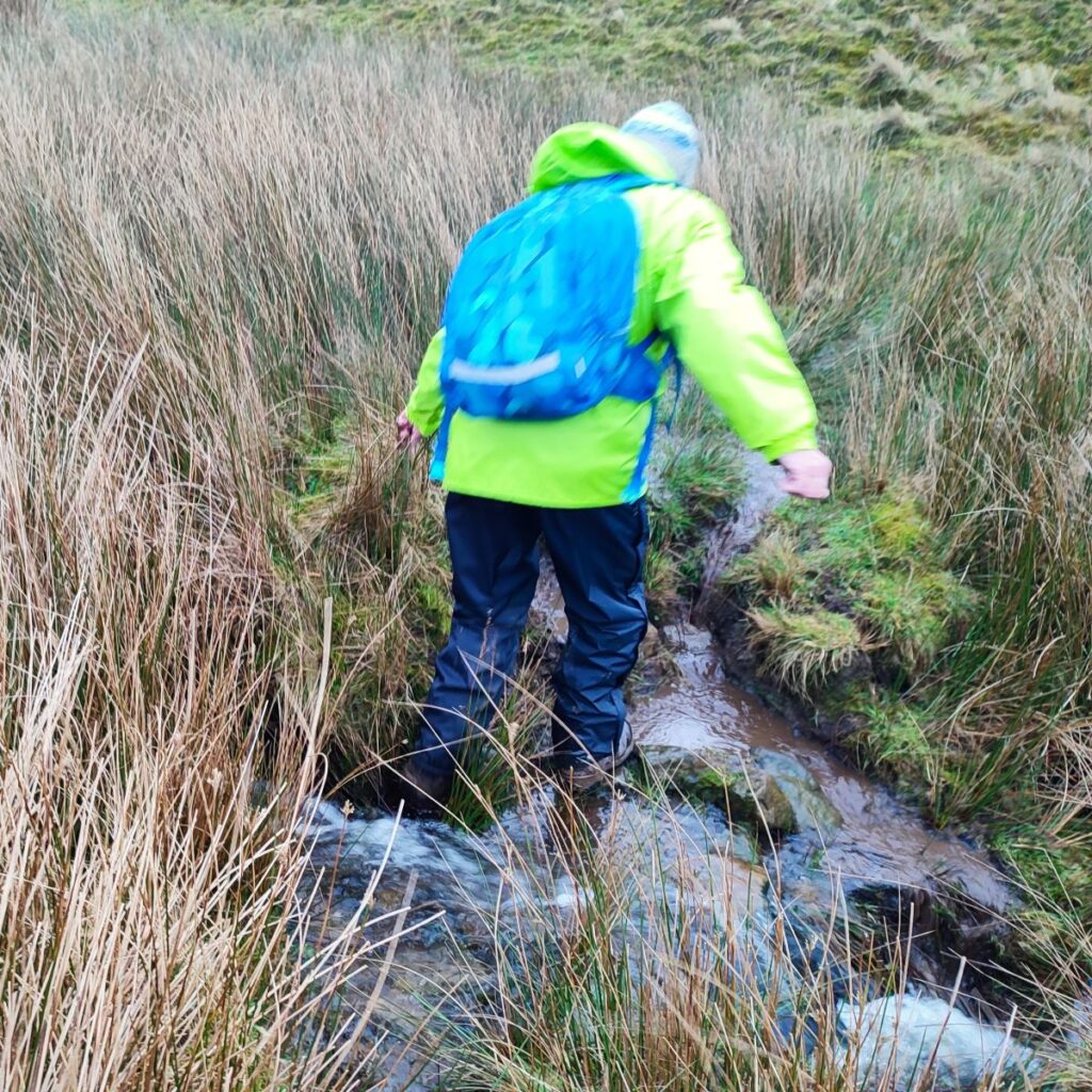
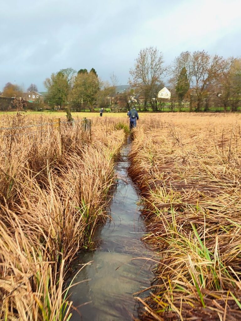
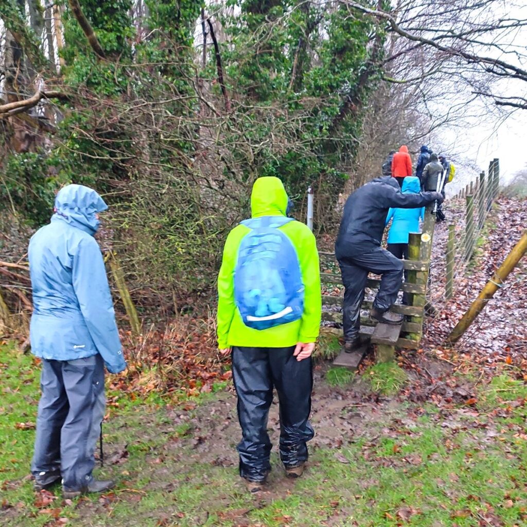
The next section of the walk has us heading consistently South as we head toward Slatenber. We cross a number of field boundaries at stiles as we go, and the route is generally clear. We need to cross a number of streams too, and as our pictures show we picked a spectacularly wet day for the walk, and even under these conditions the crossings were safe and easy, so on a dry day they will be even more secure.
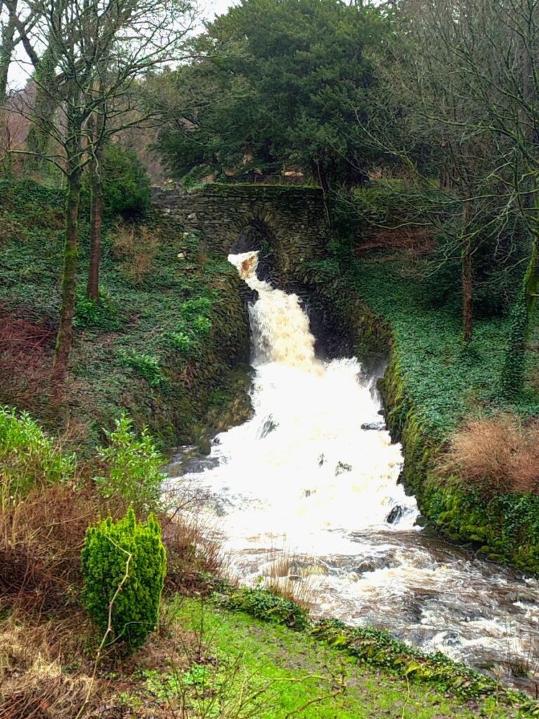
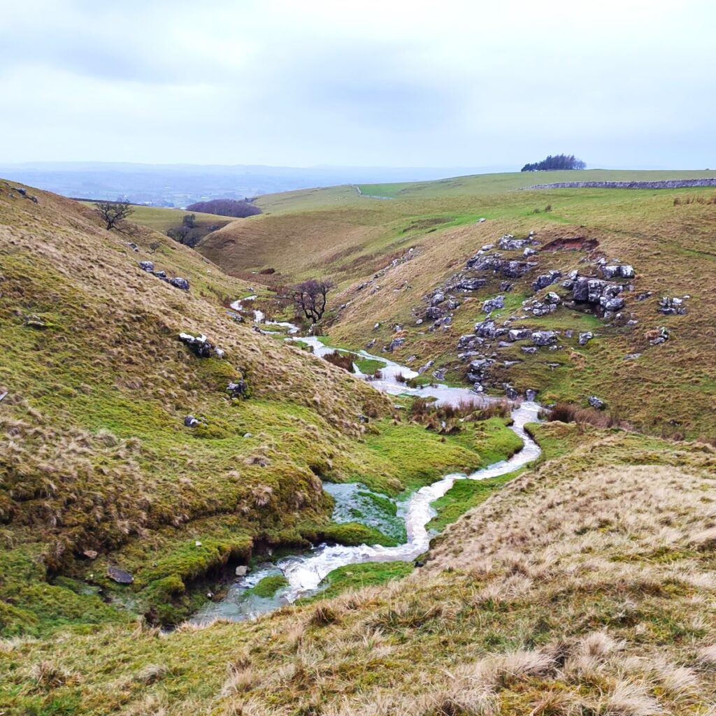
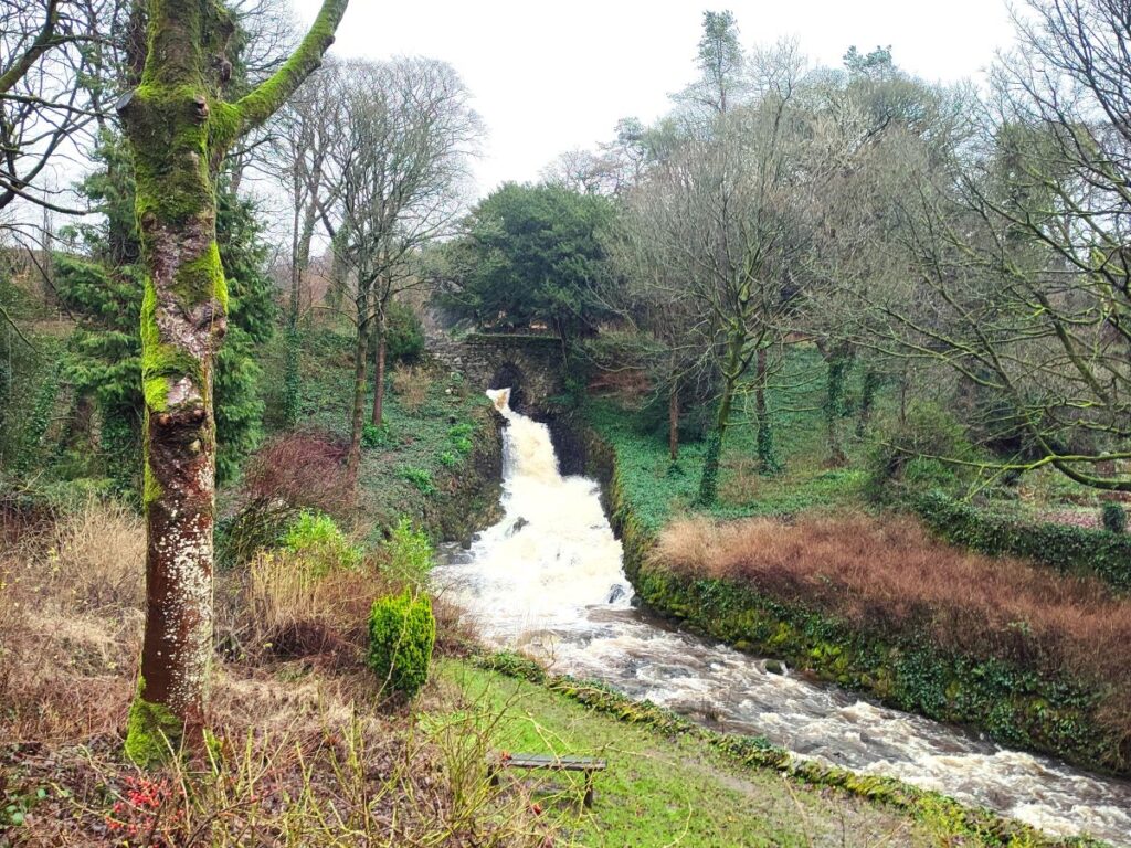
To our right as we cross the fields, there is another feature that could be worth coming back to explore when we have more time: Easegill Force and the natural stone arch. For those wanting a taster of this surprisingly little known waterfall, we recommend the description in Stephen Oldfield’s Blog – a site we have recommended on other Bentham Footpath Group posts.
The path soon approaches the farmhouse at Slatenber, and heads to the right of the building to pick up the old road from Clapham to Ingleton, before continuing almost opposite, across two more fields with a slightly difficult stile to navigate.
We then arrive at a metalled road called Lowkber lane where we turn left to walk on the road for just a few metres until it forks. At the branching point we head right and down Green Lane for the next 250m.
We then look for a lane on our right – this leads down to the caravan park at Greenwood Leghe. As we approach the site there is helpful signage to ensure that we choose the boggy narrow track with ample barbed wire snagging points rather than entering the main part of the park.
We follow the path round the perimeter until we arrive at a metalled track within the park. At this point, the public footpath continues along the access road to the site and back down to the A65, crossing the route of the disused railway line into Ingleton as we go.
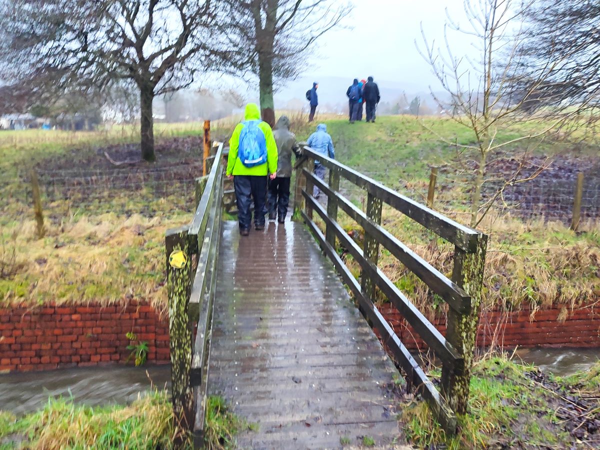
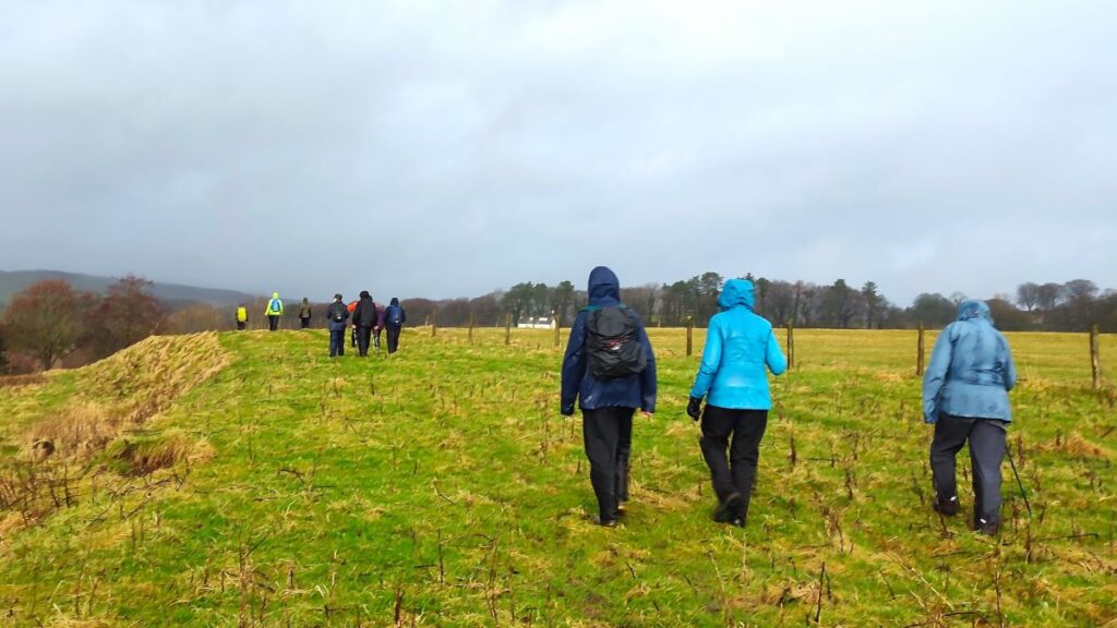
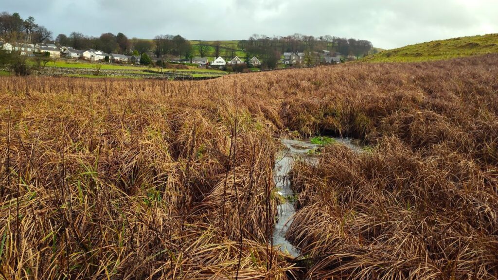
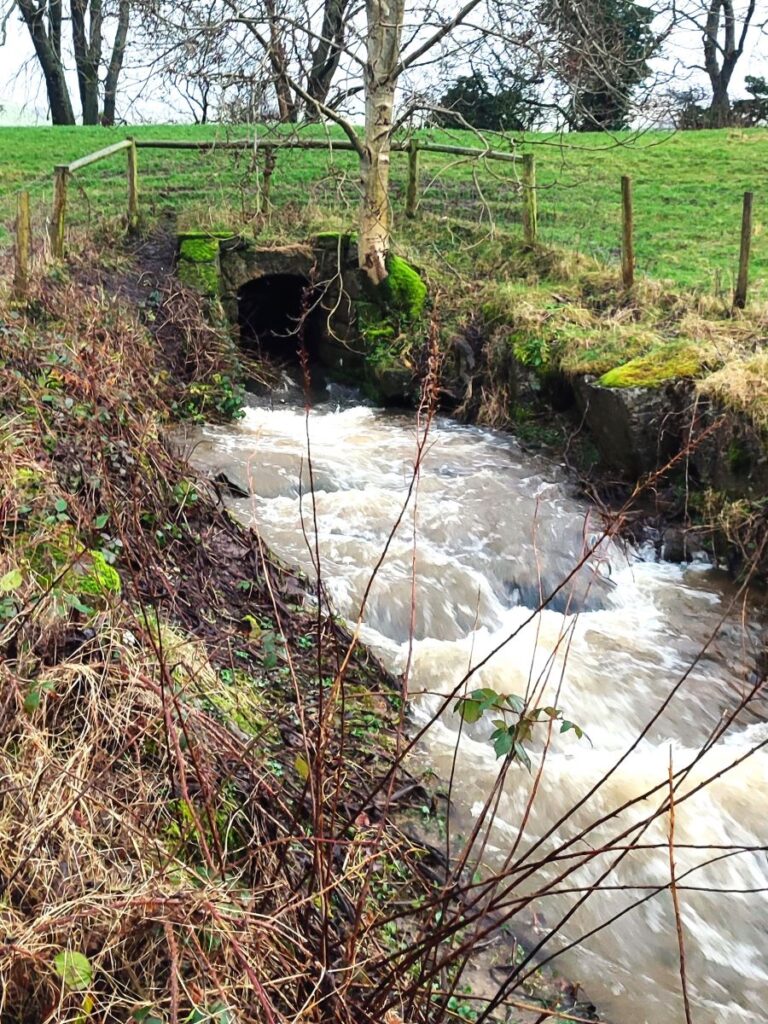
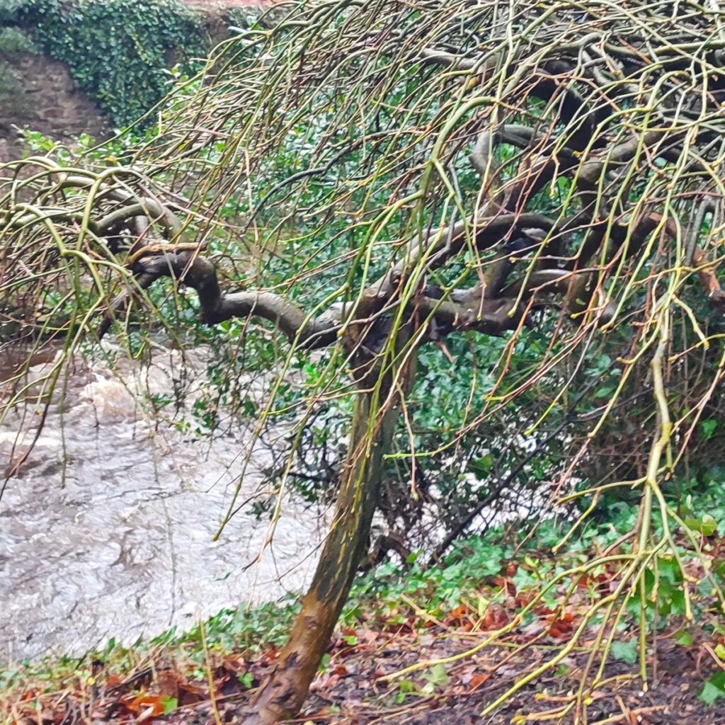
At the main road we turn right and walk along the pavement for little more than 50m before we take a stile on the right and head diagonally across the fields, and back toward Ingleton – we are now heading north and need to look for a wooden pedestrian bridge over a small but energetic stream. This is Jenkins Beck – part of the flow at Easegill Force that we passed earlier in the walk.
Beyond the bridge, we head slightly to the right and then follow the fence line for a while. Note that this is not quite on the footpath marked on the OS map, but it’s a well-used route that avoids walking through the housing estate so is preferred by most people. We follow the path through a marshy area where paving flags have been provided to mark and stabilise the path – even during the very wet weather we experienced this was easily navigated so should not be a problem, and after a short while we arrive back at the B6255 in Ingleton. From here we head right and uphill back to the parking – obviously if you parked in Ingleton village, you would need to improvise.