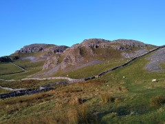
Sharp Haw and Flasby Fell
7.1 miles | 11.5 km | 374 m Ascent | 9.0 Naismith miles | Sandra Craggs
Living in and around the Dales means that we often drive through Gargrave, and as we exit the town on the Skipton side, we see an attractive fell ahead of us with a wooded side and a ridge that looks inviting as a walking area.
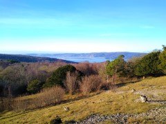
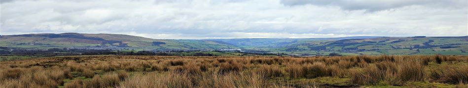
That’s our destination for this walk: The woods are Crag Wood, and the peak behind them is Sharp Haw and Flasby Fell. Rather than approaching them from Gargrave though, we head over to the B6265 Grassington Road so that we approach Sharp Haw from the Southeast on the Dales High Way. This route keeps more of the spectacular view over the Ribble and Aire Valleys hidden until a big reveal at the peak of Sharp Haw. We then continue round Flasby Fell to Flasby Village and return via forestry tracks through High Wood and Crag Wood, enjoying excellent views over Gargrave toward Clitheroe.
Sharp Haw and Flasby Fell Read More »