Silverdale is a great place to start a walk, and one the the Bentham Footpath Group have used many times. This easy walk starts in the village then heads along the shore (with a safe inland alternate in the event of high tide) before heading up to Arnside Knott with its famous views over the Kent estuary.
From there we descend to Arnside Tower and through Middlebarrow and Eaves Woods to the Pepperpot Monument. Finally we return through woodland back to the village.
Seaside, Woods, Wildlife, Panoramic views, a castle, and a monument. All in one easy walk.
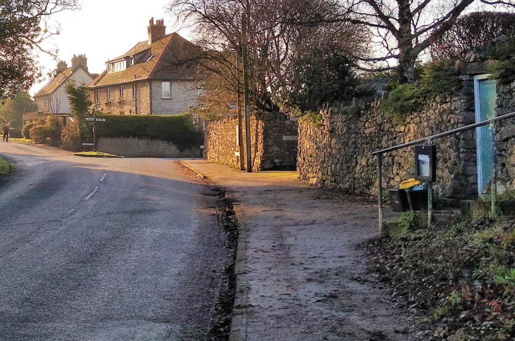
Silverdale is a lovely village, and so lots of people visit.
Parking can therefore be hard to find, so we recommend planning this walk for a weekday if practical – and an early arrival may be wise during summer months.
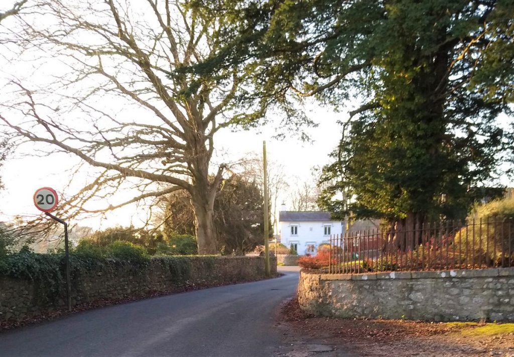
If you arrive from the Carnforth road, parking is usually possible on Stankelt Road – but please be considerate to residents
Postcode LA5 0TA should work for Satnav users.
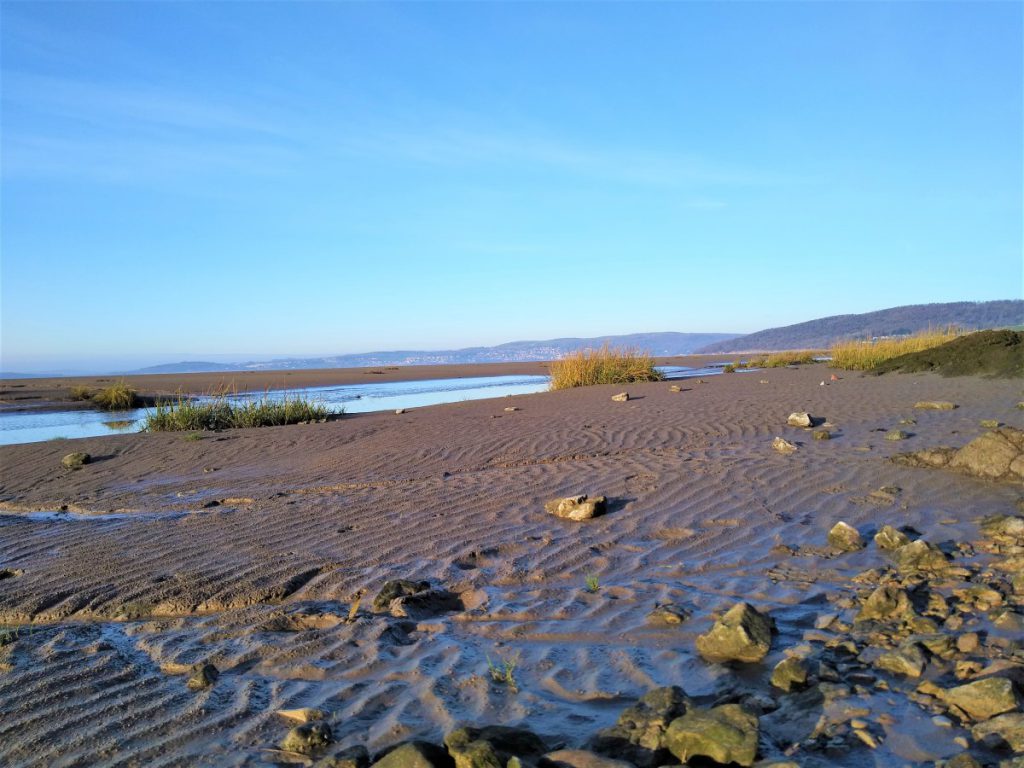
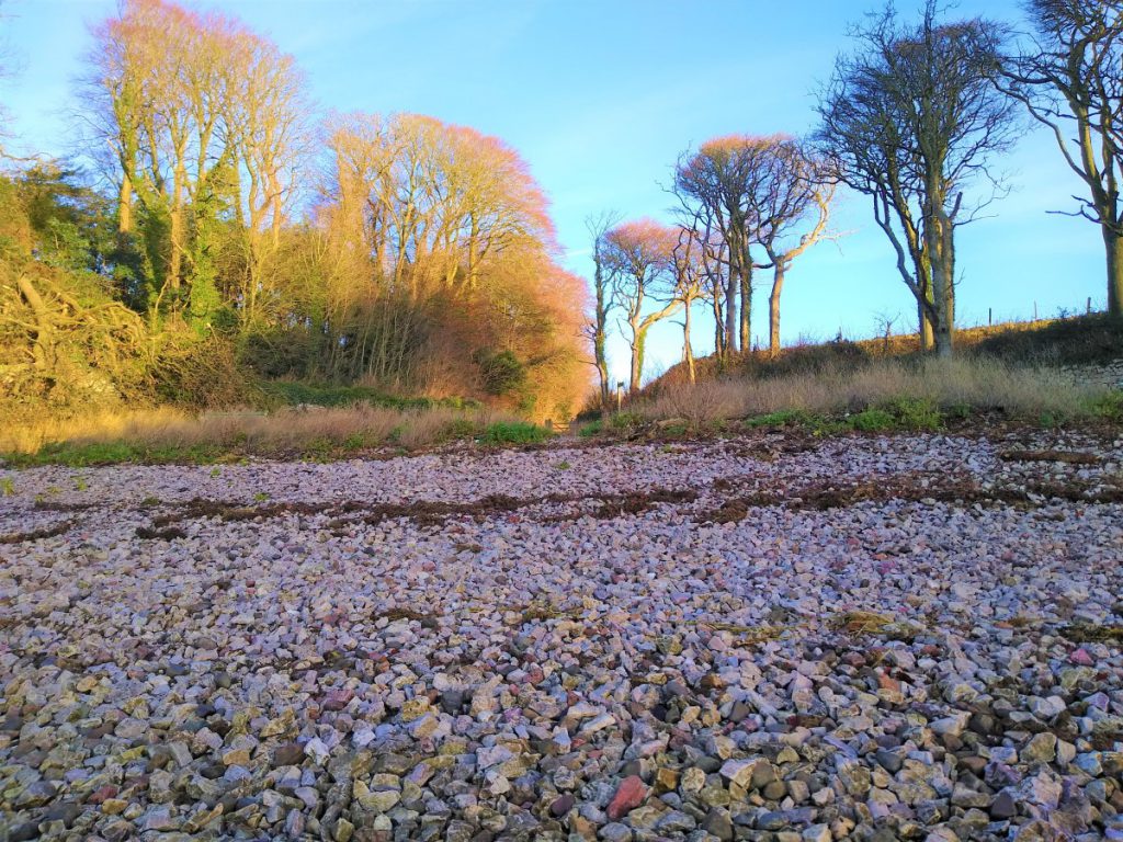
After parking, we head downhill toward Shore Road where we continue down to the beach and turn right along the Lancashire Coastal way. Whether or not this is safe and convenient will depend on the tides and your footwear – even at low tide the sand will be wet and sticky, so if you need an easier alternative, backtrack to the junction of Shore Road and Stankelt road where you will find some steps leading up to a stile which leads to a public footpath which takes you over fields to Silverdale Cove.
If you are using the Lancashire Coastal path, the dryer ground is often found close to the rocks at the top of the shoreline.
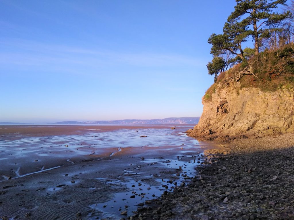
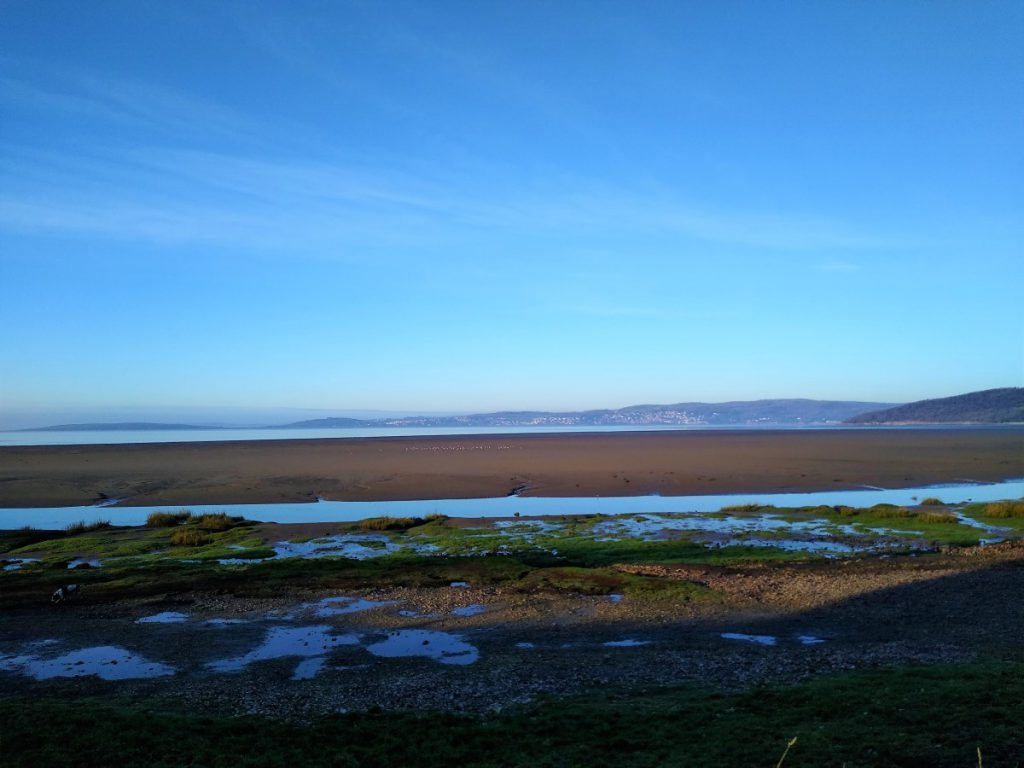
Views of the cove are generally better from the more challenging shore-side route, so if you have taken the easier path over the fields, take a moment to explore the cove and find both the cave and the red staining from iron based minerals.
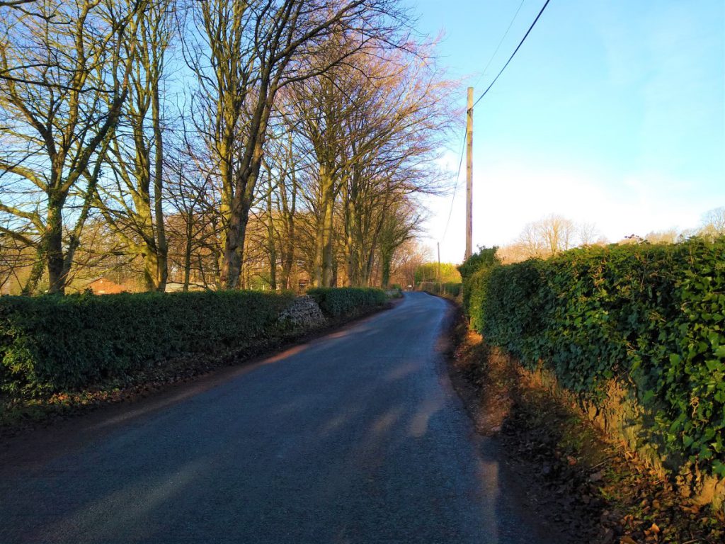
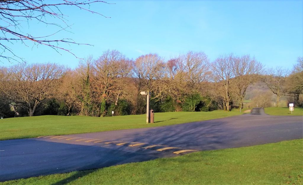
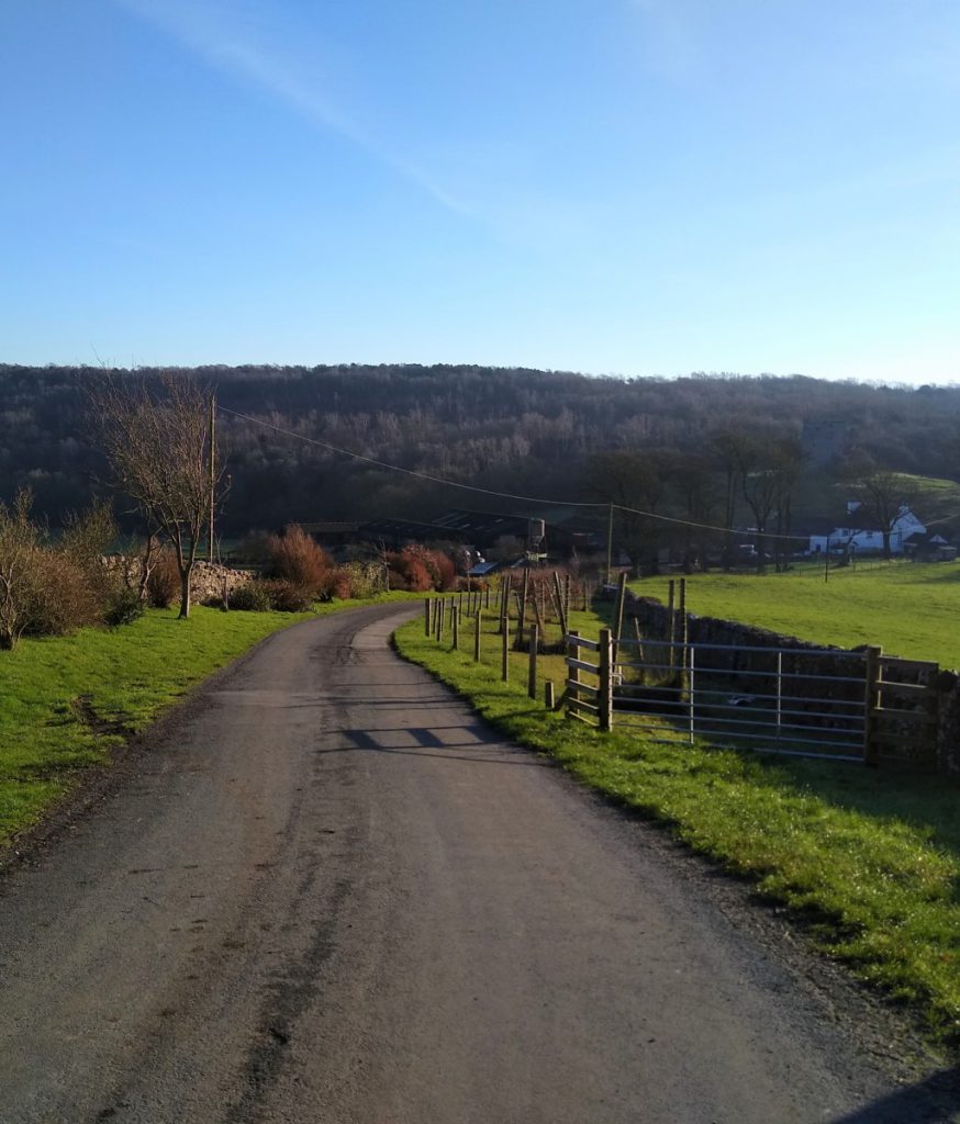
From the cove, we head inland to pick up a lane which leads uphill away from the coast. This soon arrives at a minor road where we take left for a short while. The road is generally quiet, but it is the main access to a couple of holiday parks, so expect heavier traffic on “changeover days” – i.e. the weekend.
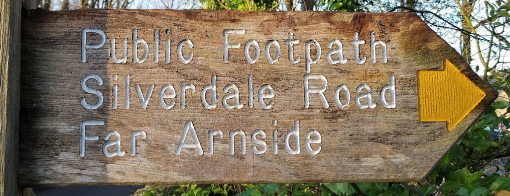
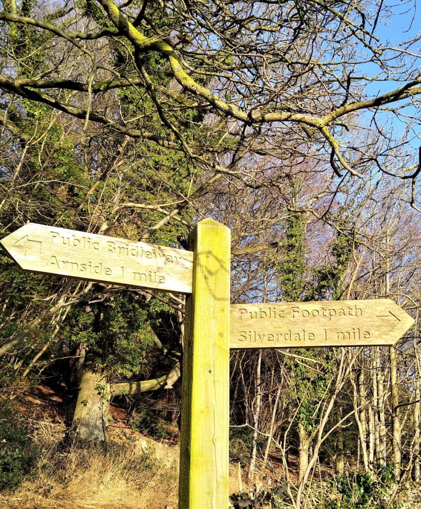
Our next landmark is a fingerpost indicating the public footpath over the caravan park – this is found just as the road veers left – our route is straight on.
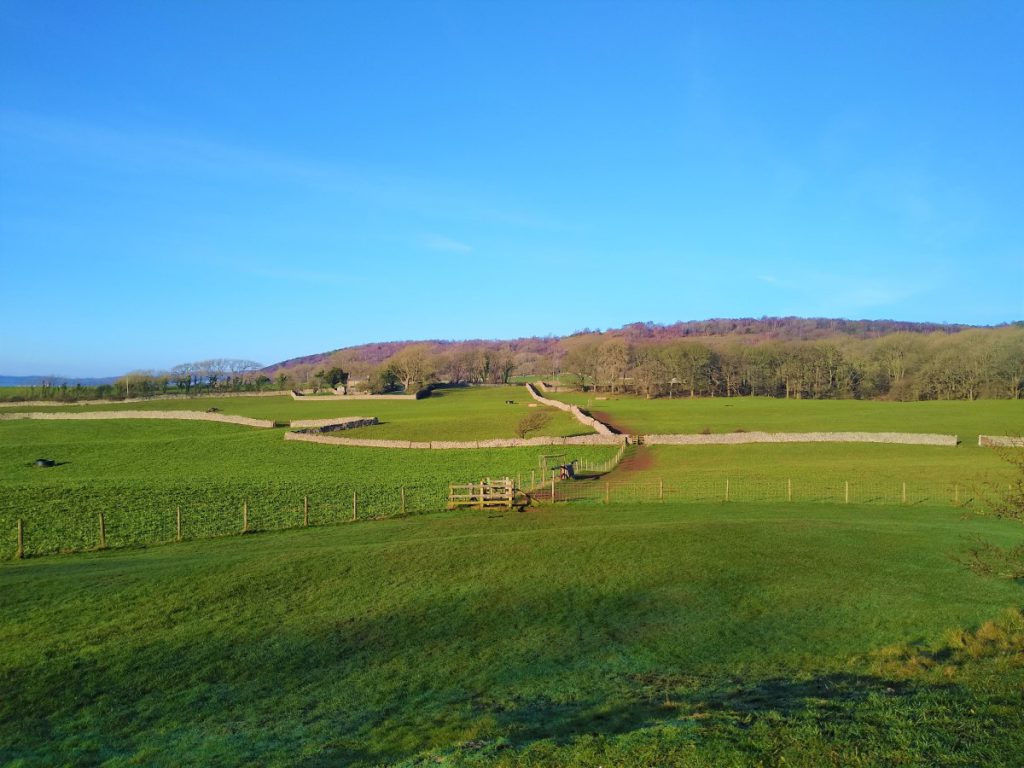
The holiday park is a typically neat and sterile environment, but we soon cross it to pick up the onward path through farmland. At this point, the route is clearly visible, as is Arnside Knott, our next destination.
We cross several field boundaries at well maintained gates to arrive at a stile out onto a minor road, and from here we cross almost directly to pick up the lane to some farm buildings. There is a finger post directing us to Arnside Knott at this point.
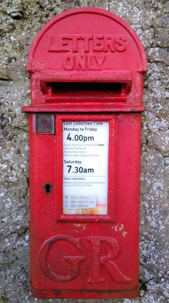
Worth noting here is a GR post box set in the wall, and still in use. The lack of a regnal number generally indicates that the box was installed during the reign of King George V, so 1910 – 1936.
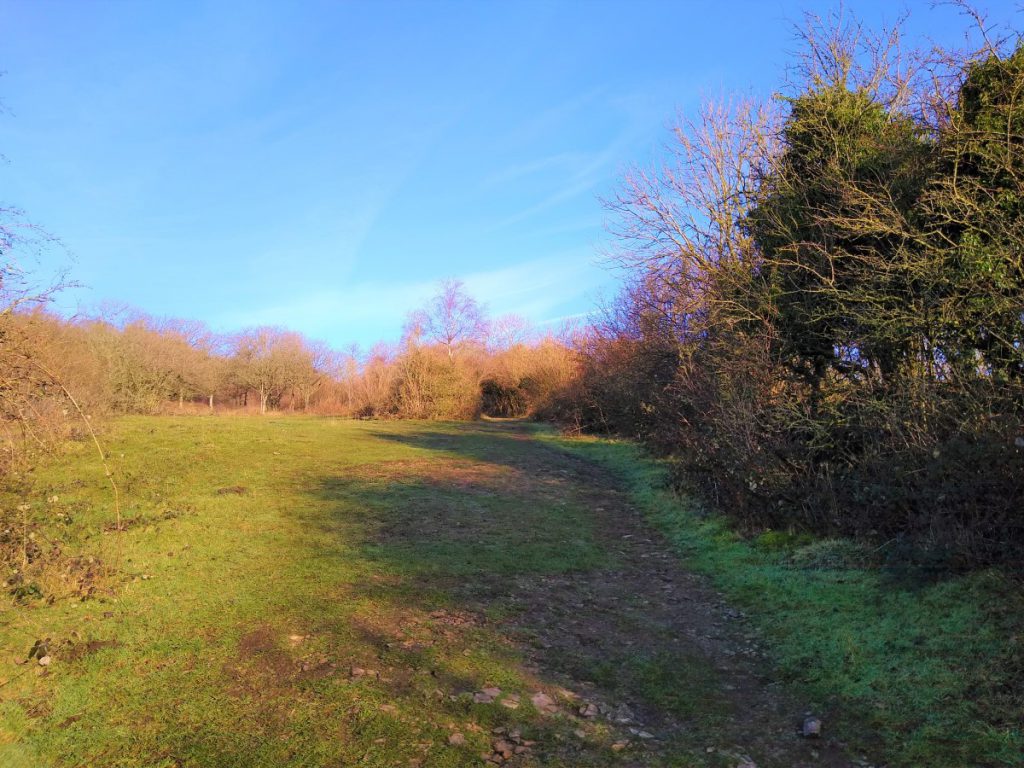
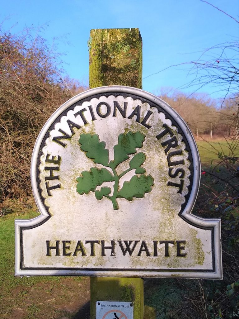
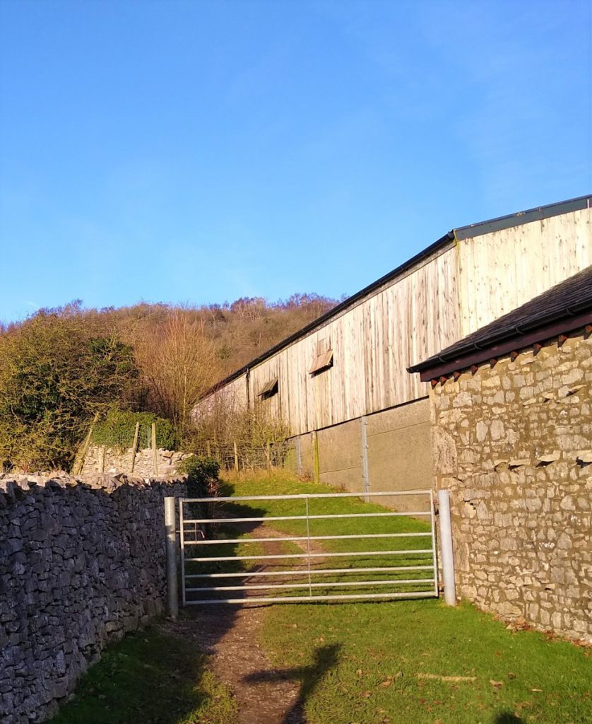
As we approach the farm buildings, we find another finger post indicating the route up hill to a gate at the left hand side of the barn. Just through that gate, we find a National Trust Sign welcoming us to Heathwaite Woods. At this point we see paths heading in many directions, but our route is sharp right to follow the field boundary gently uphill.
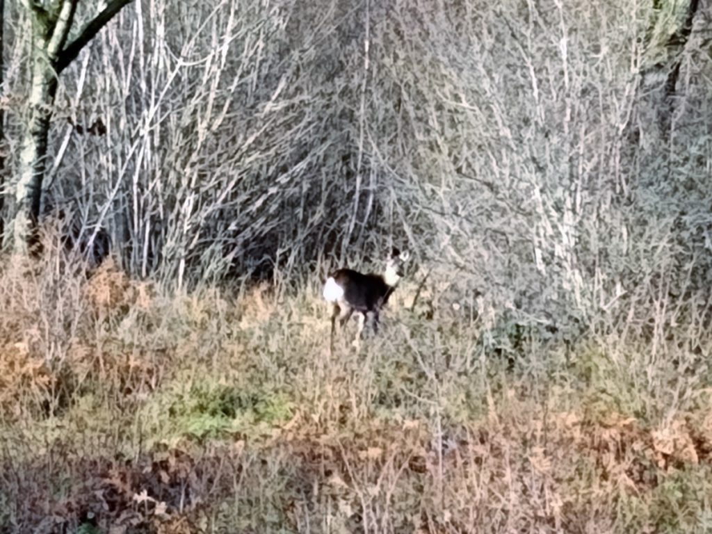
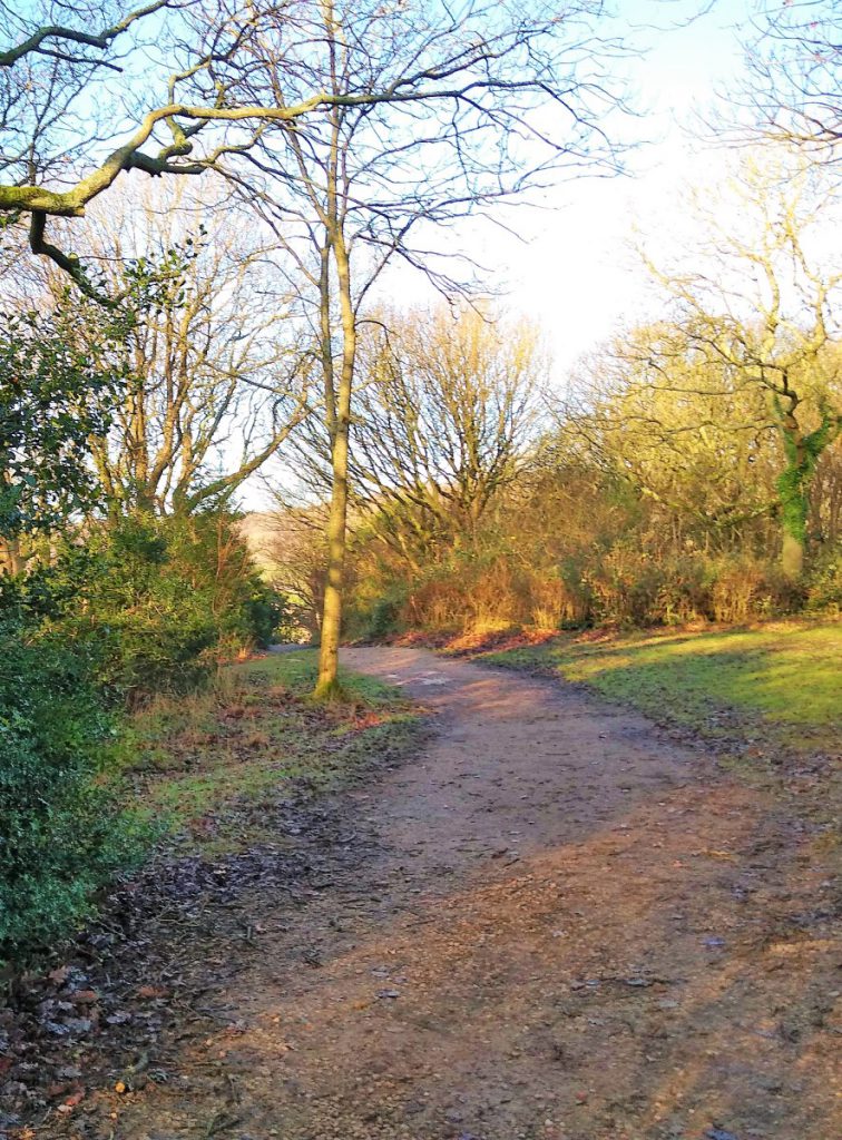
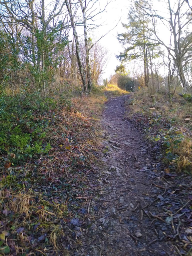
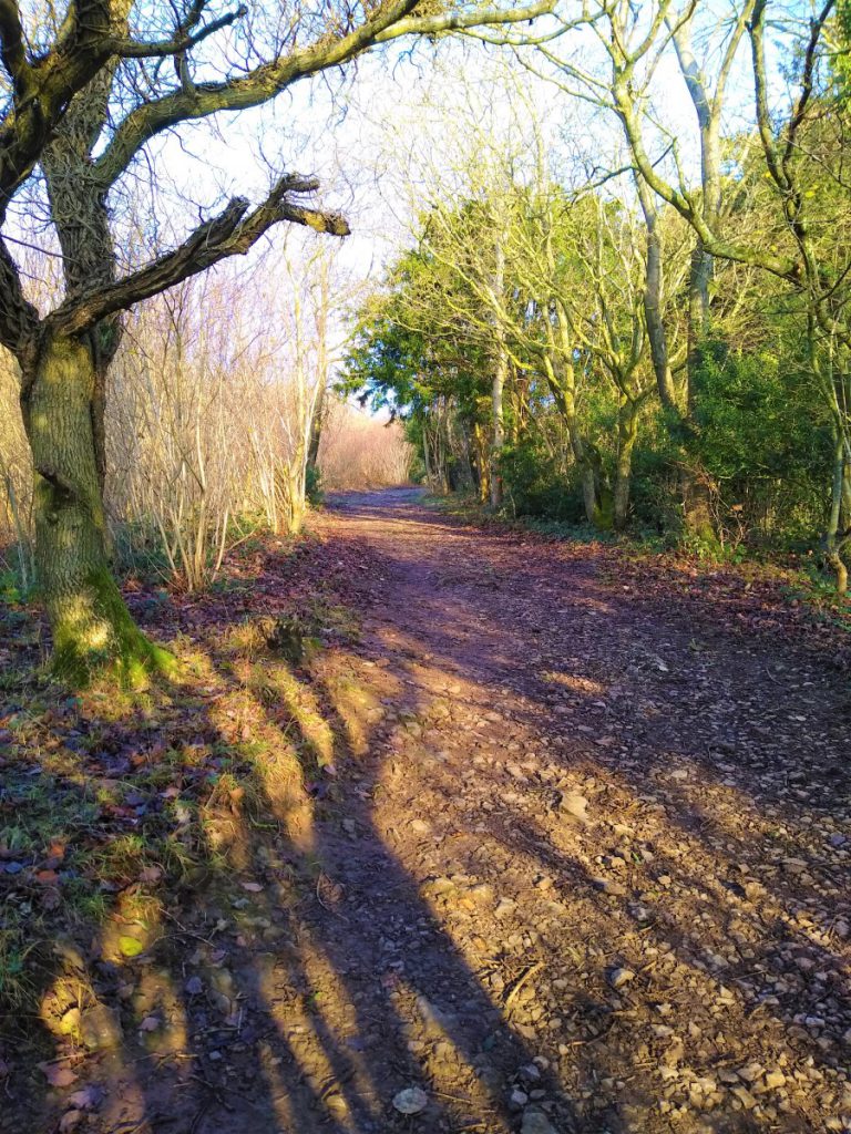
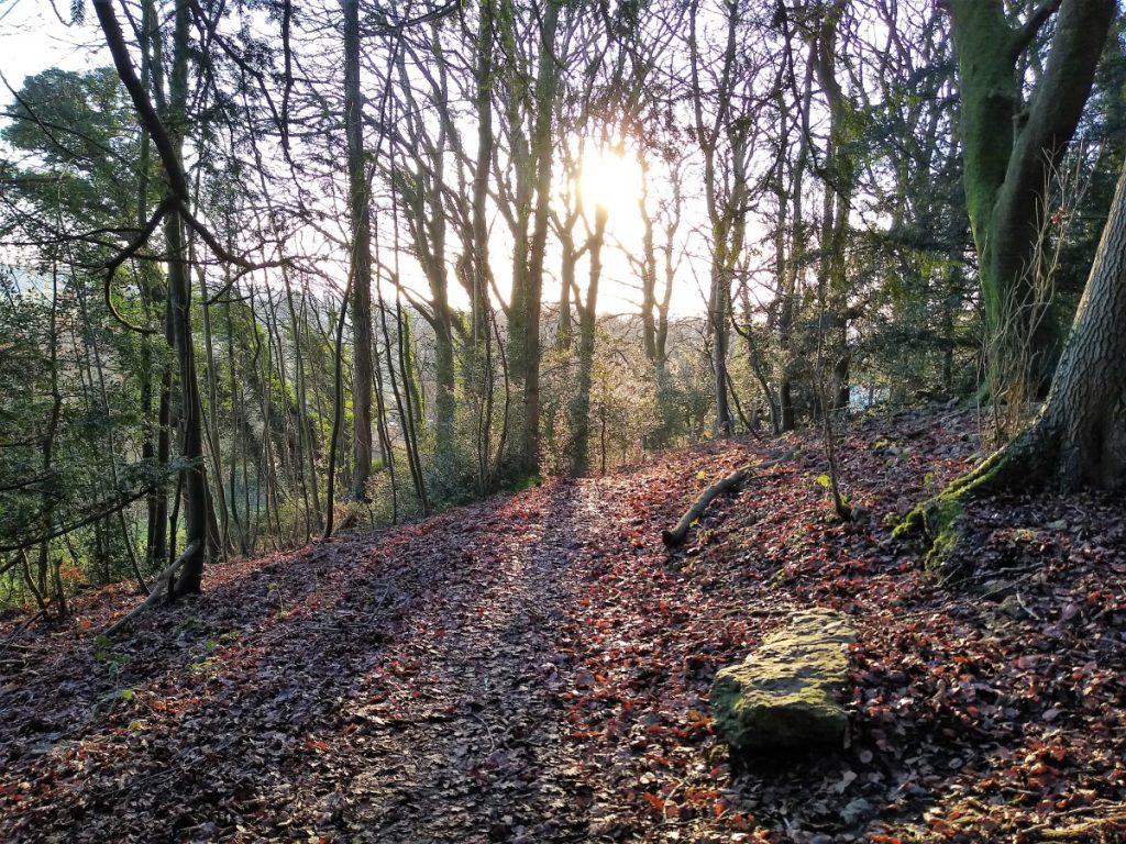
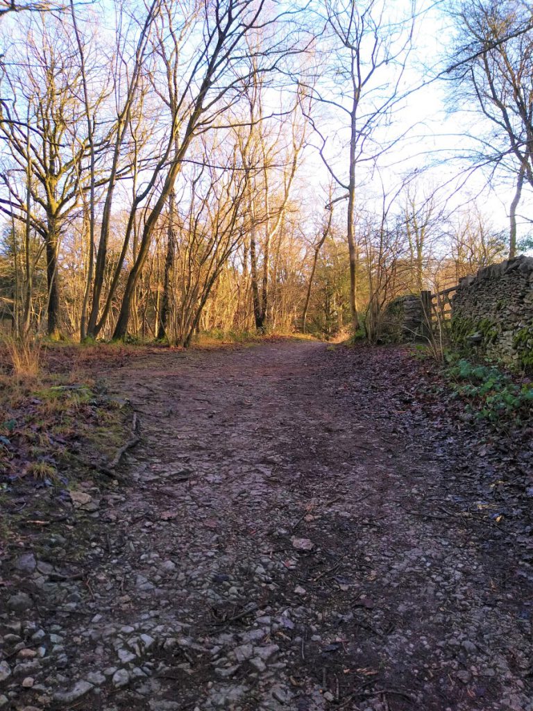
We soon leave the open fields and carry on along tracks in the woodland. It is worth keeping an eye open here for signs of the roe deer which live in the woods, and which are reasonably tolerant of people.
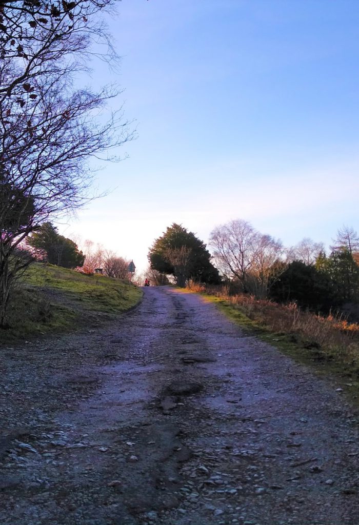
The path continues gently uphill, and we soon arrive at the crossing point of a number of paths – look for the four way finger post just below the bench as our next landmark.
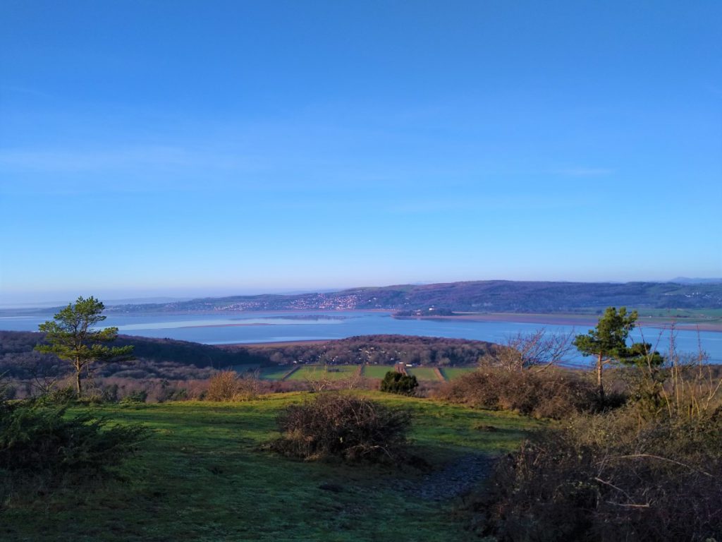
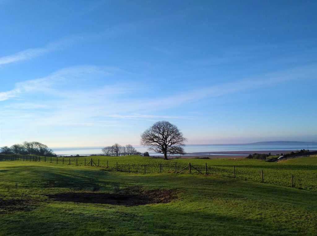
We could walk round Arnside Knott either way, but the route we choose is directly across from the four way fingerpost, initially in a NE direction. The path soon veers left to an open area with excellent views over the coast before heading right again and up into the woodland.
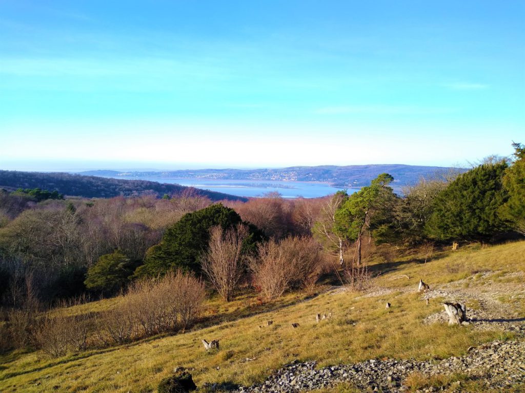
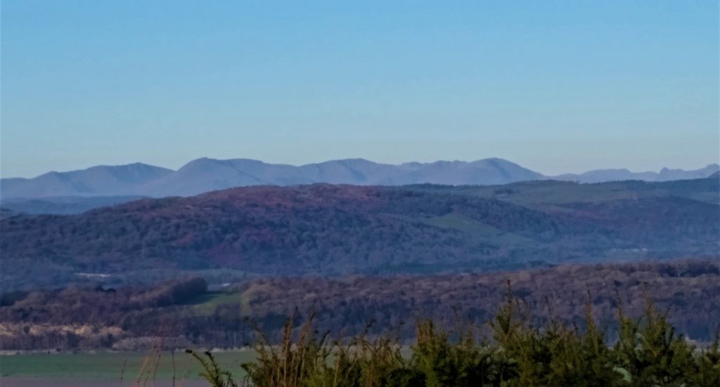
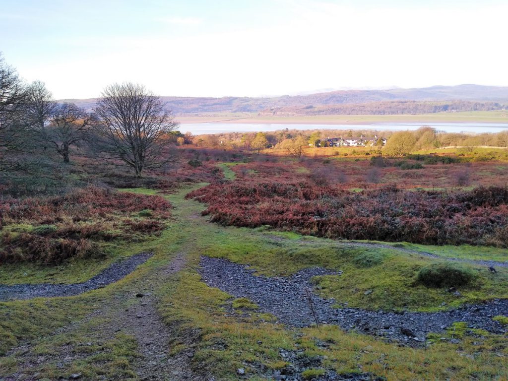
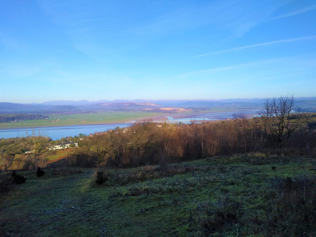
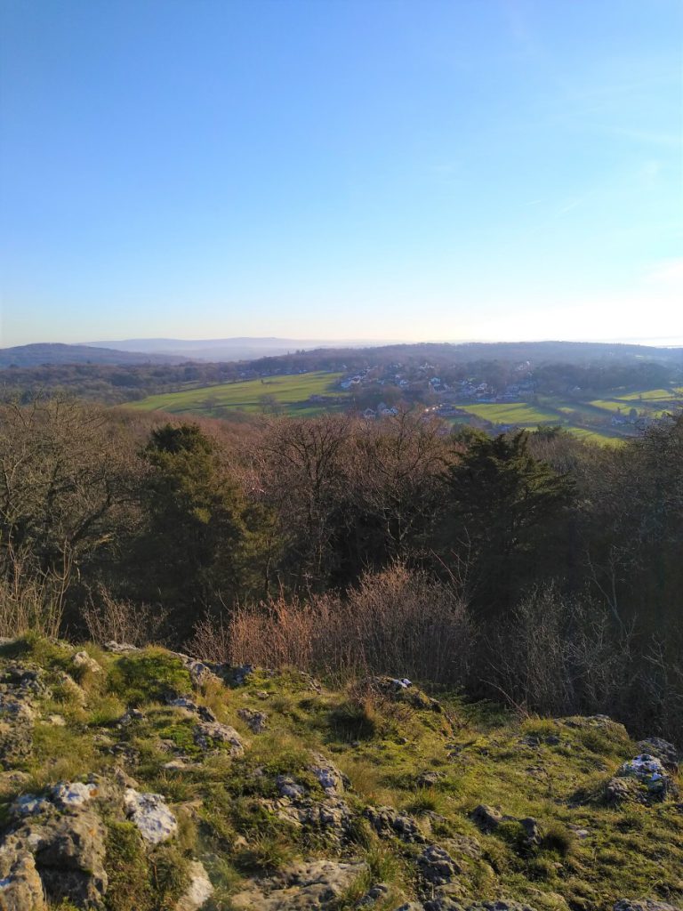
As the path starts to level out again at the top of the Knott, look for a clear and well used path on the left which leads to the viewpoint at the top of the Knott. From here you can see the Lakeland fells across the Kent estuary, the Howgills to the east, and directly below, the town of Arnside with its railway bridge.
This is a good point to rest for a while – most of the climbing is now complete.
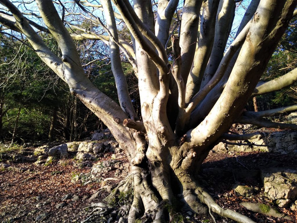
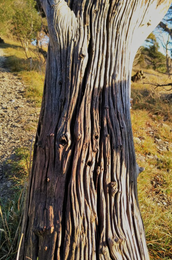
We now retrace our steps back to the path around the Knott and continue in a NE direction, looking out for a “stirrup” shaped tree on the left.
This odd tree has also been likened to a giraffe, and it is said that this is the Knot that is refenced in the name Arnside Knott – although this is probably folklore.
The trees, now dead, were Larches, probably from the same parent seed stock, which grew into each other – a process known as self pleaching.
At this point our path leaves the larger continuing route and we head downhill toward the white buildings in the distance. The path here is steep and can be slippery so take care.
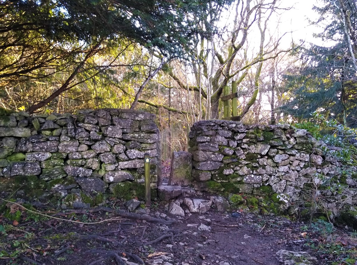
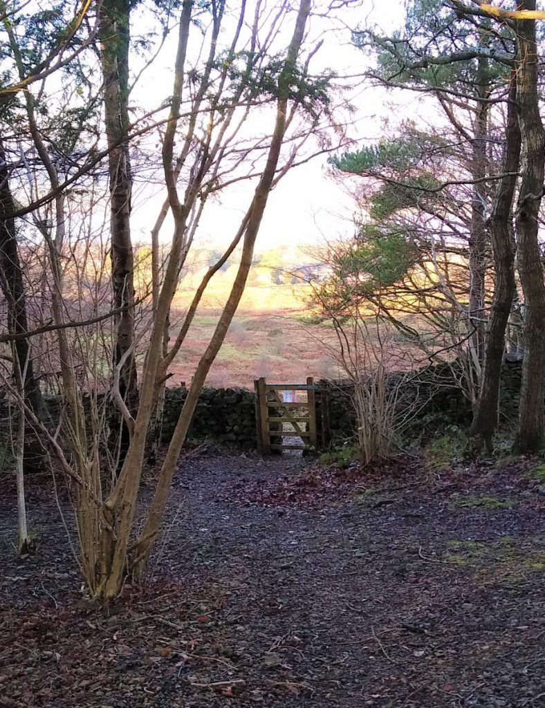
At the bottom of this path, we cross a drystone wall onto a rough track, and turn left to walk uphill, passing a cattle grid before entering the National Trust woodland again. Note that there is a car park here – useful for other walks maybe?
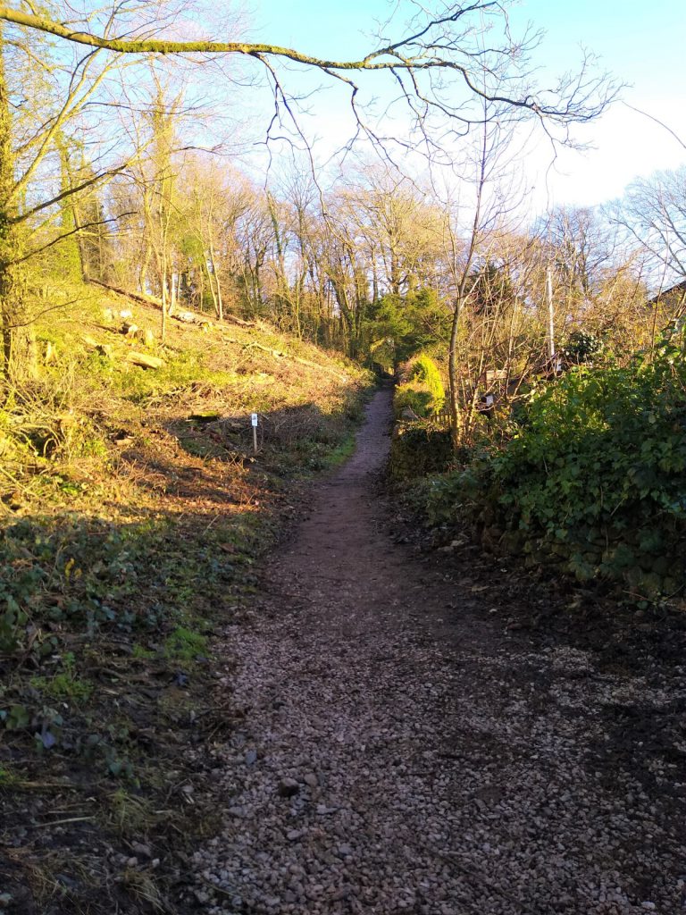
Beyond the car park, we continue through the woodland on broad tracks, and see evidence of the woodland being used for teaching, presumably by the National Trust.
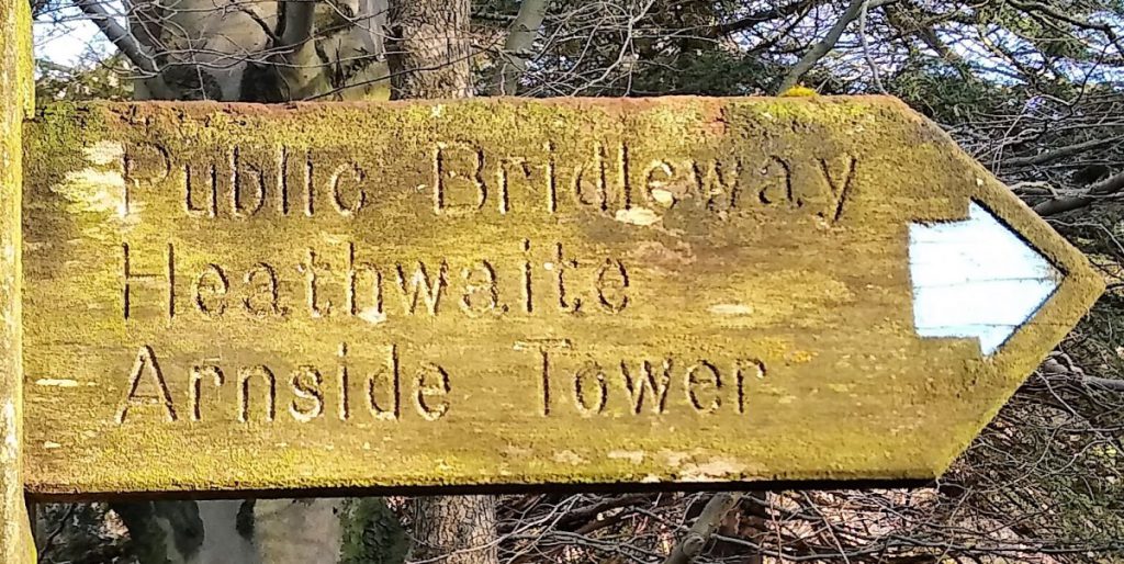
We stay with this path (in fact a bridleway) until we arrive back at the four-way crossing we noted at the start of the climb up the Arnside Knott, and this time our direction is downhill – clearly signed for Arnside Tower.
Our route now loops gently round to our left, always on wide and clear tracks heading generally downhill until we meet the Arnside Road. Here we turn left and walk along the road for a very short distance before seeing up another finger post directing us downhill and to the right toward Silverdale, to pick up a farm road toward the Arnside Tower which is now clearly visible.
Just before the farm, look out on the right for a path between wire fencing – if you find yourself in the farmyard, you have gone too far and need to backtrack. This path takes us round the farm and on toward the tower. At the end of the farm buildings there is another finger post, but navigation is obvious – the path goes straight to the tower.
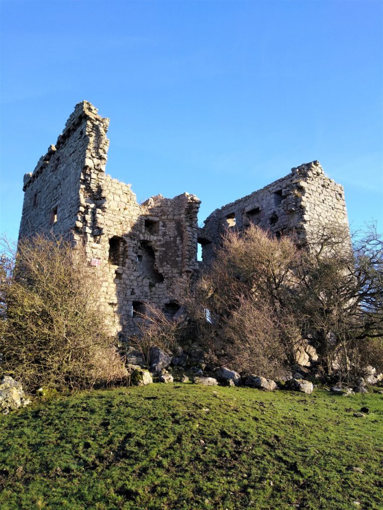
Arnside Tower was built in the 14th or 15th century as a “Pele tower” – essentially a defensive structure where the population would shelter during times of attack. This one is unusual in that it is free standing – most are attached to the property of the landowner. Originally thought to be four or five storeys tall, systematic dismantling and the inevitable weathering mean that it is now without a roof or floors.
Records show that the tower was severely fire damaged in 1602, but was repaired and then occupied as a dwelling. Between 1684 and 1690, further dismantling occurred, with building materials being removed to Beetham and Knowsley.
In 1884, what remained of the tower was subjected to a particularly severe storm, which resulted in the destruction of most of the southwest angle of the cross wall, with the South wall also being damaged. As a result, the tower is now virtually split in two, with one portion containing the four storeys with domestic rooms, and the other portion containing the five storeys with the garde-robe and the taller part of the tower.
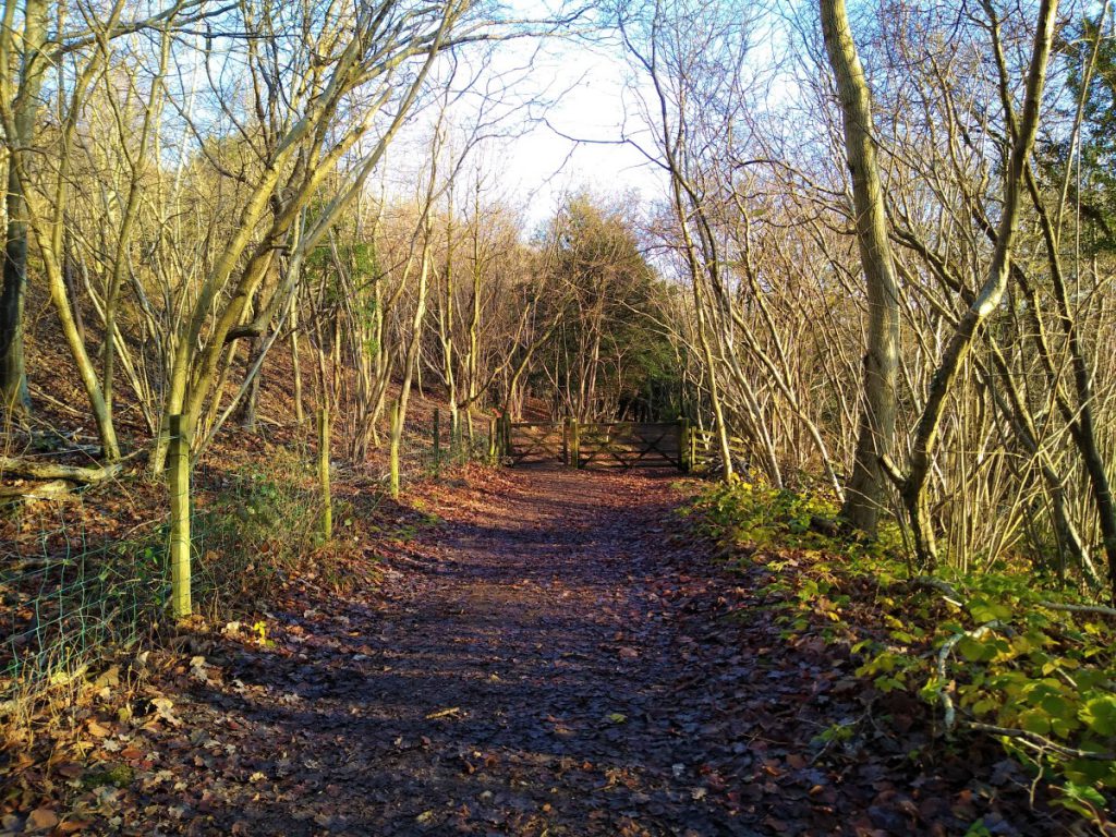
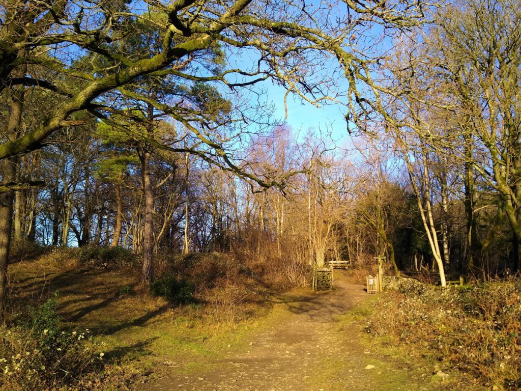
Beyond the tower, we head to the field corner where we see a lane and a smaller path up into the woods. It is the smaller path that we take, now heading in a southerly direction.
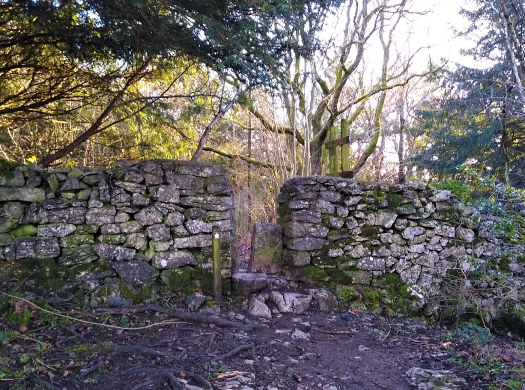
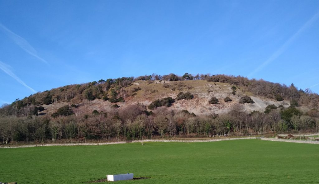
After a brief climb through the woods, we find another caravan park, with clear way markers to follow until we exit again into the woods to track gently uphill to a dry stone wall and a stile. Beyond this we follow a clear track, heading SE and contouring around the base of the hill. This is King William’s Hill, and we will soon climb it to see the Pepper Pot monument.
For now though, we keep to the clear track until we arrive at Elmslack where the path merges with the access lane to a number of small traditional cottages. At this point we see a bench – a good point to have a brief rest before tackling the hill up to the monument.
From the bench we take the path on the left and start to head uphill. After 100m or so a path leaves on the left, with a clear signage to the monument. We follow this path uphill and gently round to the left, at which point, it becomes less distinct and loses the signage.
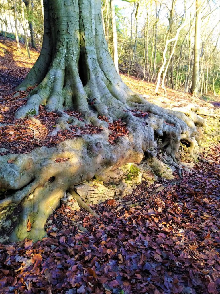
One clear landmark is this rather impressive tree. The easiest route to the top is behind this tree, and so easily missed – if you do miss the path, the default navigation advice is that the Pepper Pot is at the top, so head uphill.
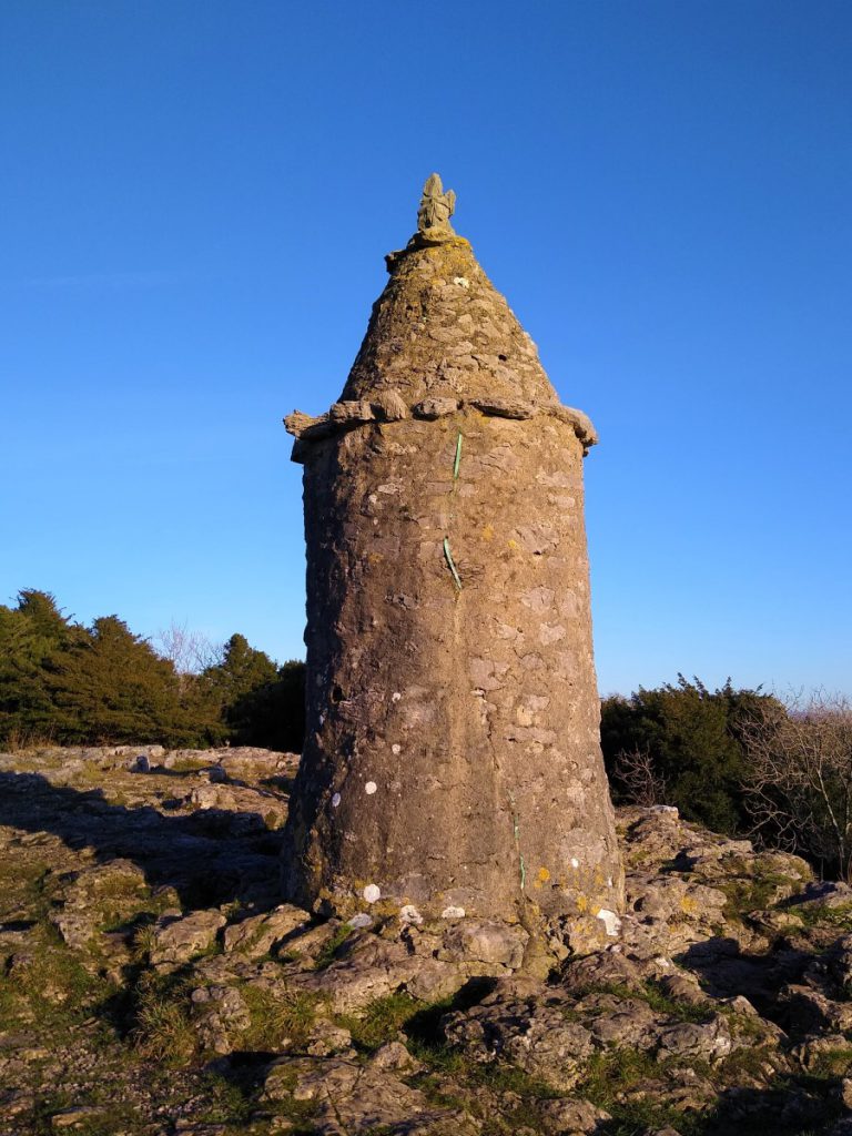
Although universally known as the Pepper Pot monument, the name given when it was installed was “The Queen Victoria Silver Jubilee Monument” – the somewhat rough appearance suggests that it was a heart-felt tribute from locals rather than a display of civic largesse.
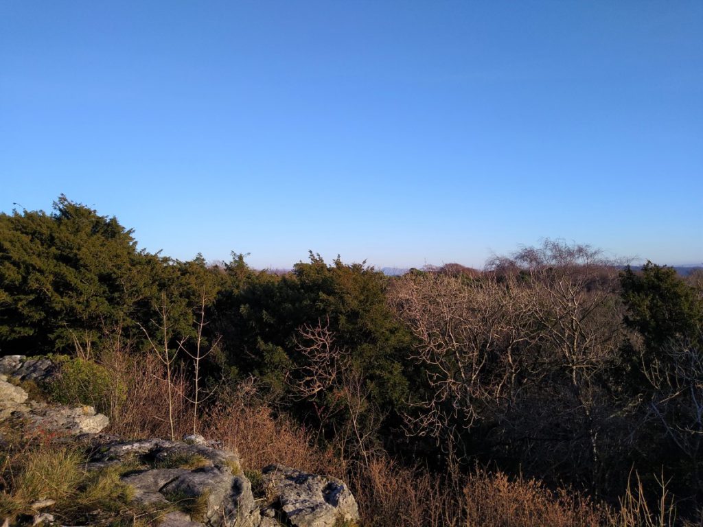
Views from the monument are excellent with Elmslack and Silverdale to the south, Morecambe Bay to the west, and even a glimpse of Ingleborough to the east.
Having enjoyed those views, we retrace our steps back to the footpath out of Elmslack, where we turn left and press on through the woods on a broad track.
Keep an eye open for a marker post on the left showing a route continuing along the main track, or a smaller path exiting to the right and downhill. It is that smaller path that we take.
This takes us along a field boundary between two wire fences and down to the road at Silverdale. From here, we turn right and walk along the road back into the village centre to end the walk.