Living in and around the Dales means that we often drive through Gargrave, and as we exit the town on the Skipton side, we see an attractive fell ahead of us with a wooded side and a ridge that looks inviting as a walking area.
That’s our destination for this walk: The woods are Crag Wood, and the peak behind them is Sharp Haw and Flasby Fell. Rather than approaching them from Gargrave though, we head over to the B6265 Grassington Road so that we approach Sharp Haw from the Southeast on the Dales High Way. This route keeps more of the spectacular view over the Ribble and Aire Valleys hidden until a big reveal at the peak of Sharp Haw. We then continue round Flasby Fell to Flasby Village and return via forestry tracks through High Wood and Crag Wood, enjoying excellent views over Gargrave toward Clitheroe.
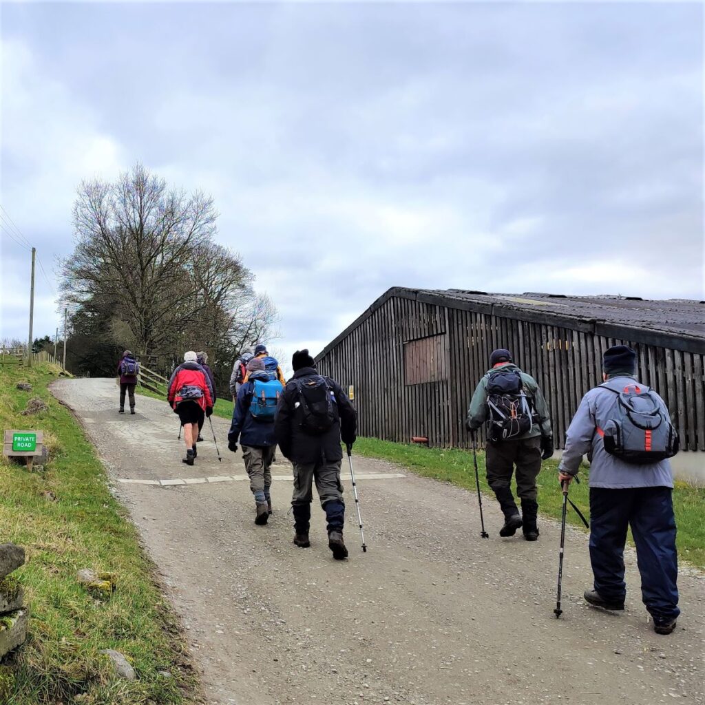
We start by heading out toward Skipton on the A65, and at the large roundabout on the edge of Town we take the A59 toward Harrogate. At the next roundabout we take the B6265 signposted for Grassington and continue past the Craven Heifer pub on the right. We then enter the Yorkshire Dales National Park – the sign is on the left.
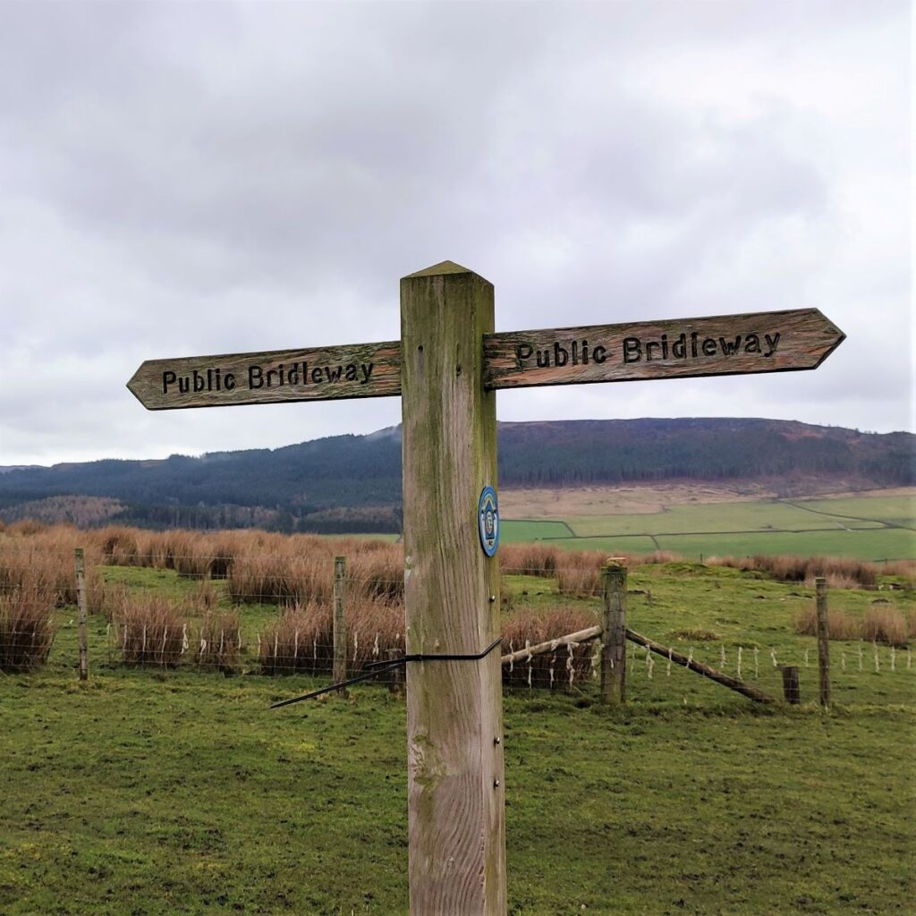
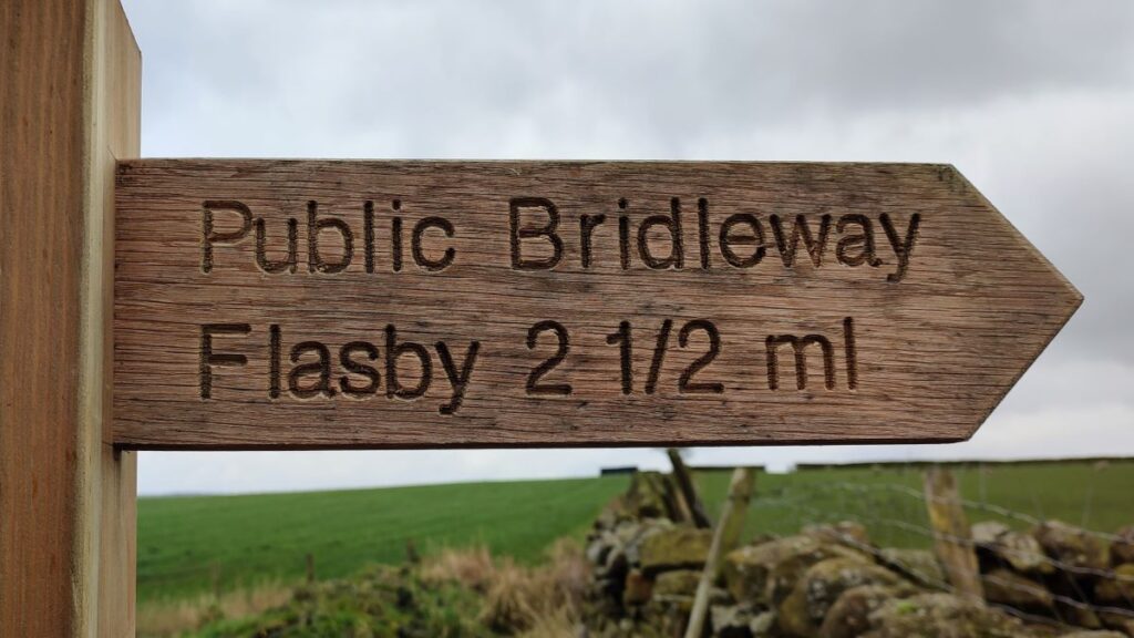
Rather unusually we present two options for the starting point for this walk. The better of the two is in a small layby on Bog Lane which is the first turn on the left after the National Park sign – drive up bog lane until the sharp left turn and you will see the layby and the Fingerpost for the that walk we will take.
However, it is often the case that the layby is full, so a second option is to return to the B6265 and park in the layby between the National Park sign and Bog Lane. On the day of the group walk, we were lucky and used the Bog Lane layby – so the pictures show that, but the GPX and the trace on the OS map show the route from the B6265 – because this includes all options.
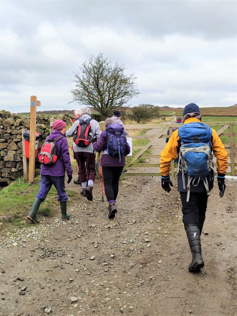
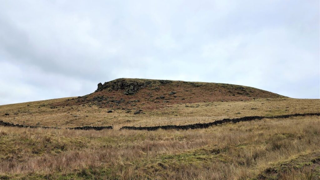
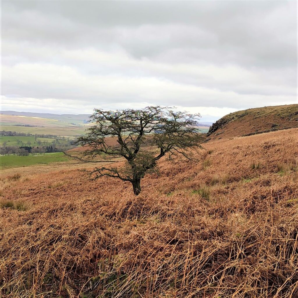
If you are starting from the B road, turn left up Bog Lane and walk up to the layby show here. From there you will see Sharp Haw and Rough Haw looming ahead us. Sharp Haw is the pointy one on the left, and Rough Haw is the gentler lump on the right.
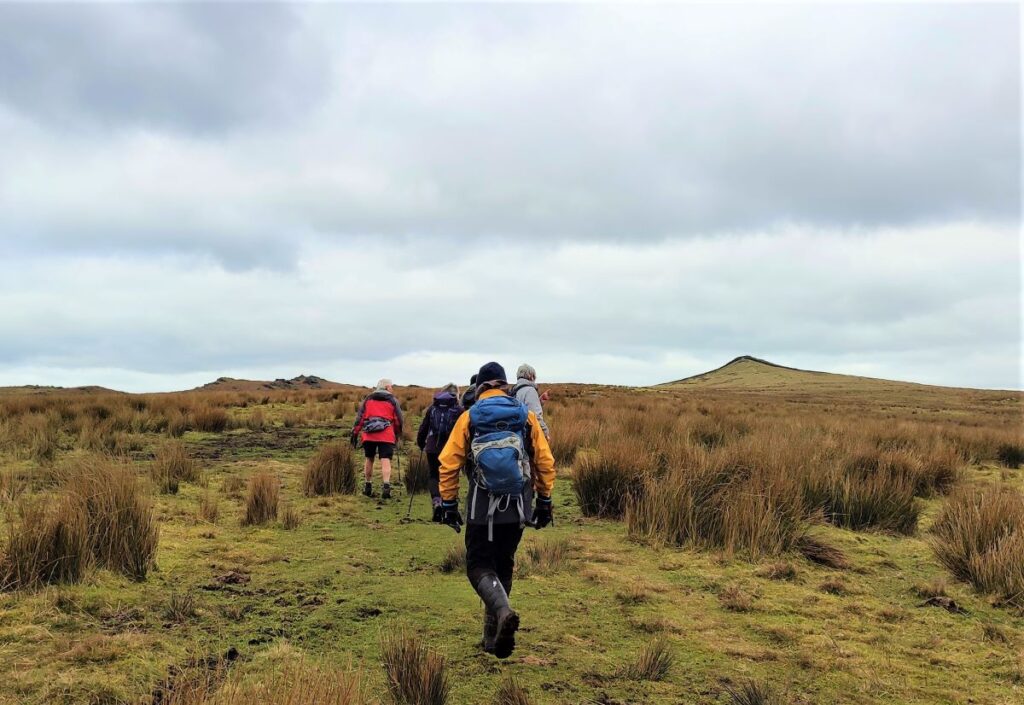
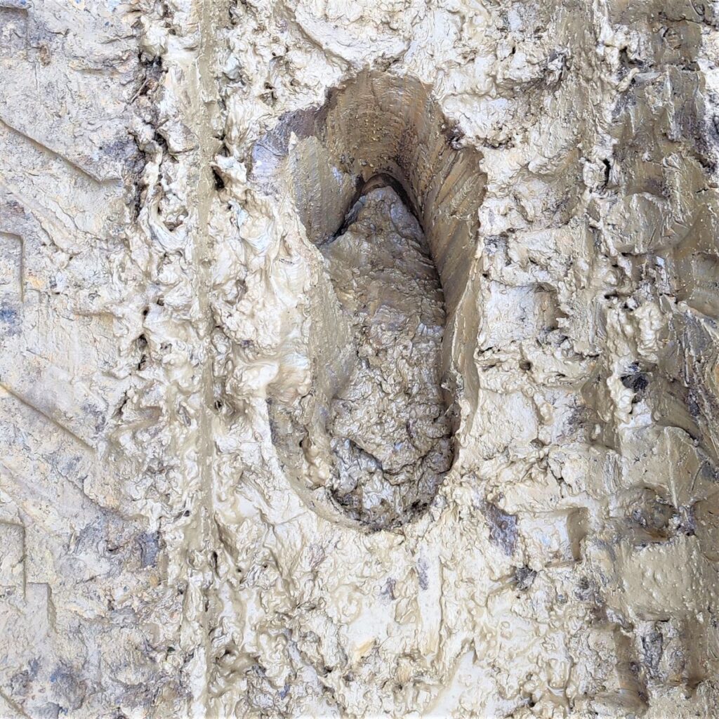
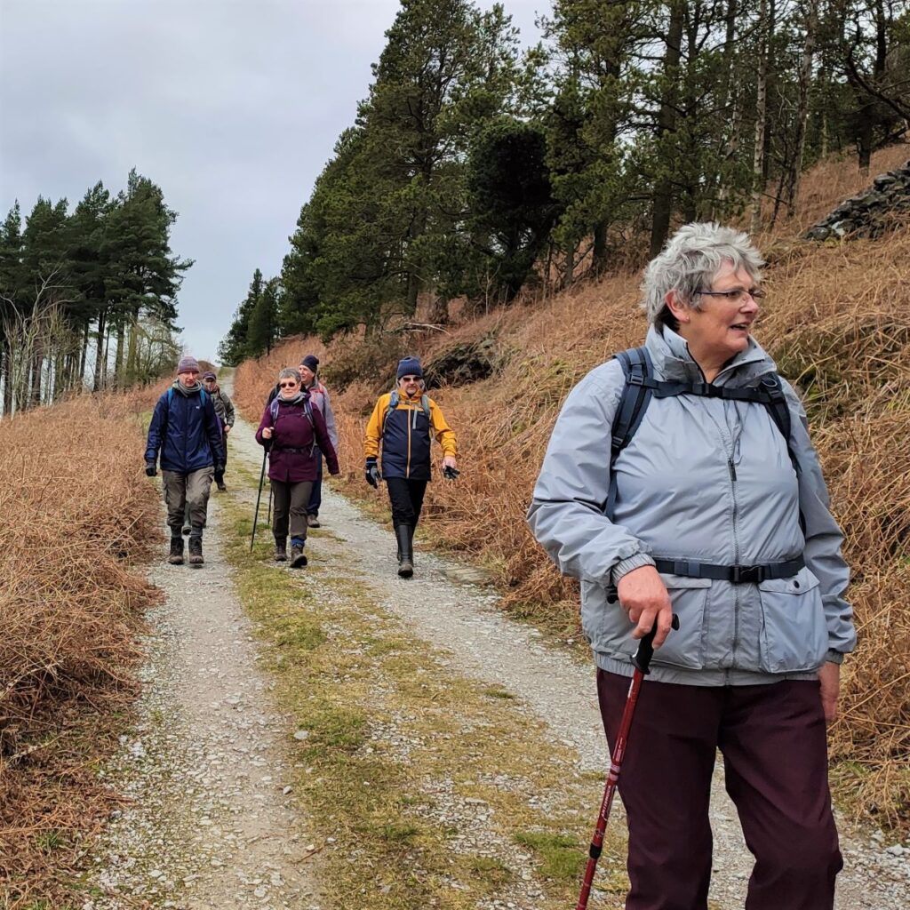
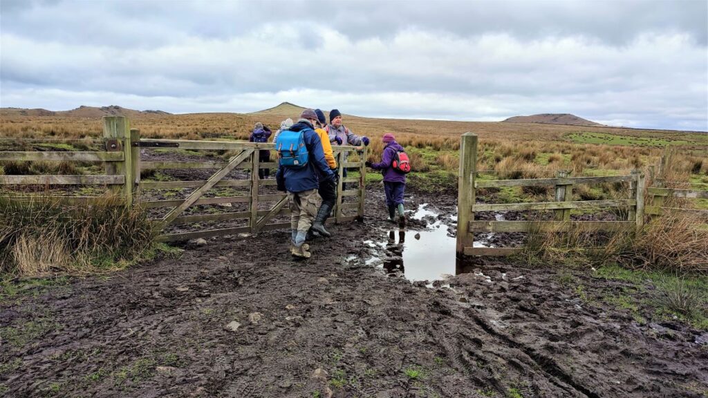
The lane heads uphill for a while, and at this stage the walking is easy and dry – but expect lots of mud later on.
We soon see a fingerpost indicating that the path leaves the track on the right – from here we follow the fence line for a while keeping the fence on our right. The route is clear, but the land is poorly drained, and the route will at times have been churned up by farmers on quad bikes so you may need to find your own route through, deviating from the route on the OS map a little.
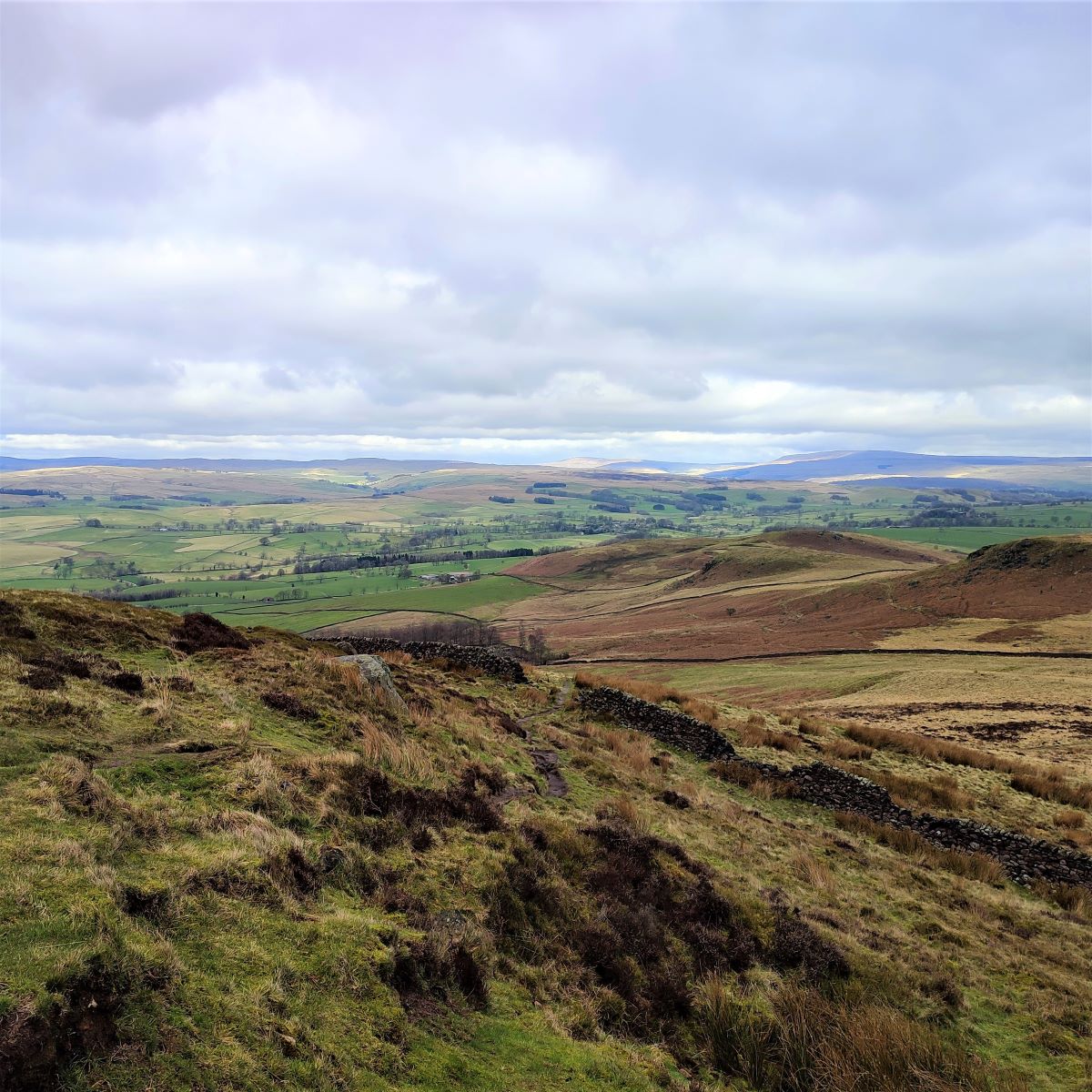
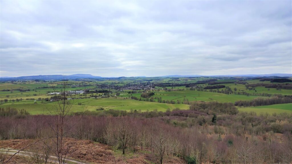
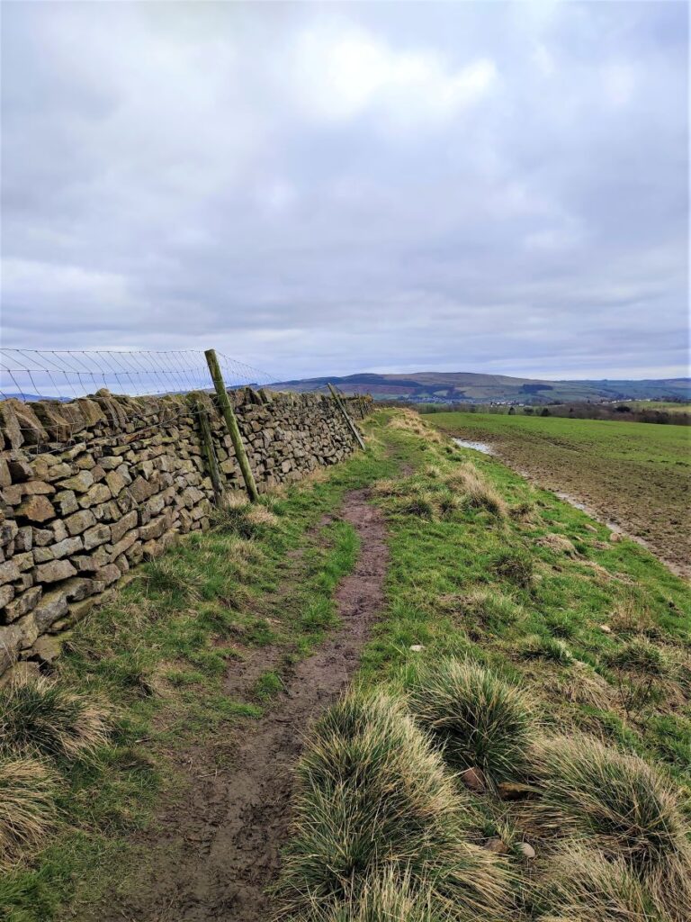
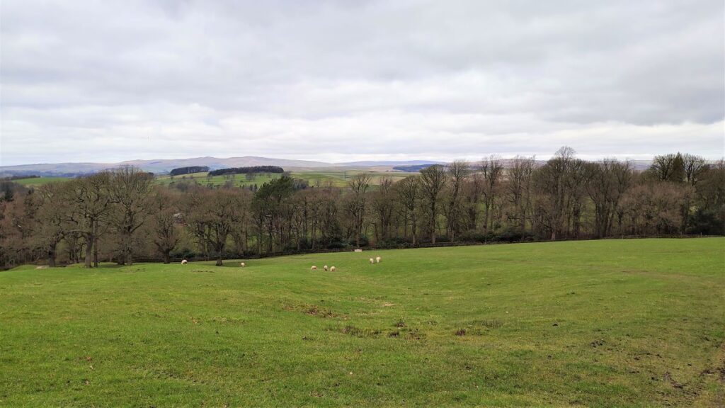
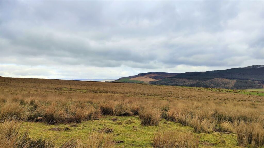
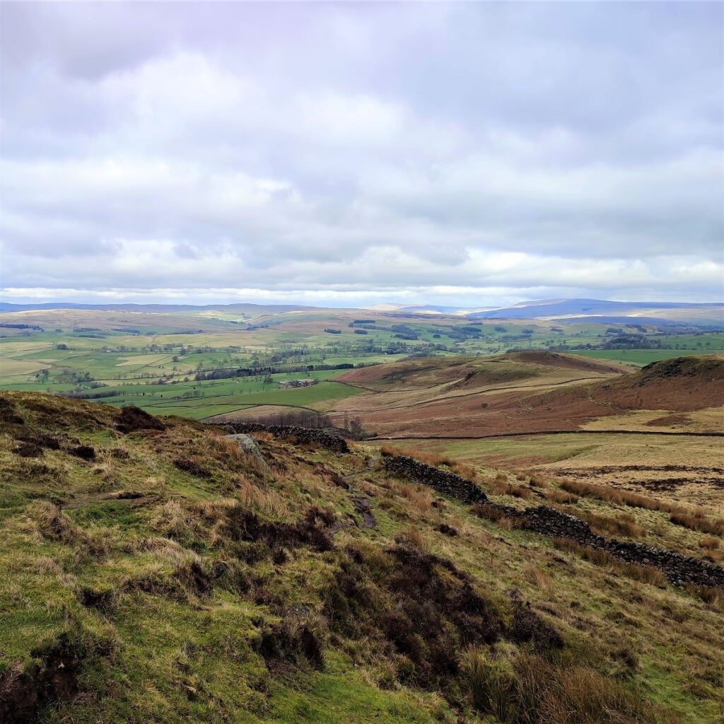
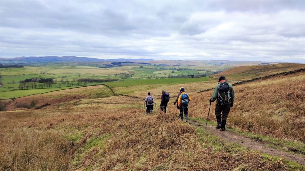
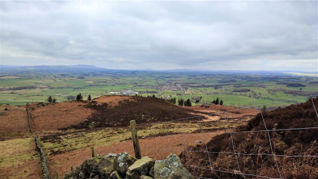
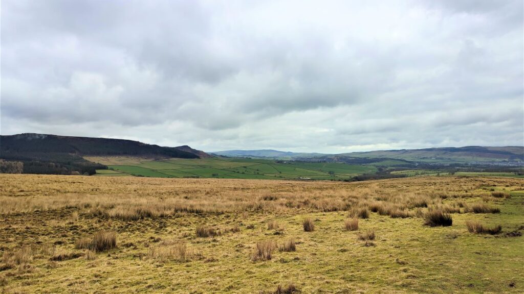
We now start to climb more steeply, and have Sharp Haw ahead of us, Embsay Moor and glimpses of Embsay Reservoir over to the right, Skipton behind us, and views toward Barnoldswick and Clitheroe to the left. The higher we go the better these views get, but it’s not unusual for cloud to descent on Sharp Haw, so make sure you pay attention all the way up.
We soon approach a gate and continue up toward the Haw. The name is unconnected with Haw (meaning hedge or boundary) as in Hawthorne – the area is too exposed and wet to sustain Hawthorne hedges.
Haw in this context is more likely to be a version of “Hawse” (the summit of a pass) or “Howe” (a pointed and rocky formation but not a mountain summit), whilst Wikipedia suggests that Haw comes from the Old English “Hawian”, meaning a view. Take your pick.
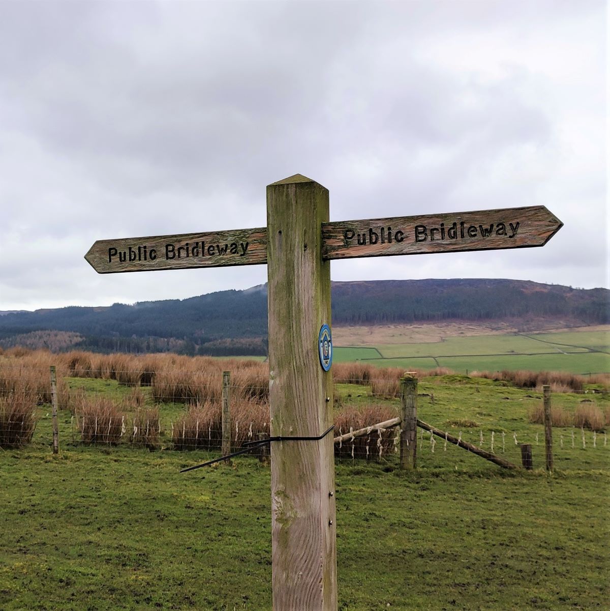
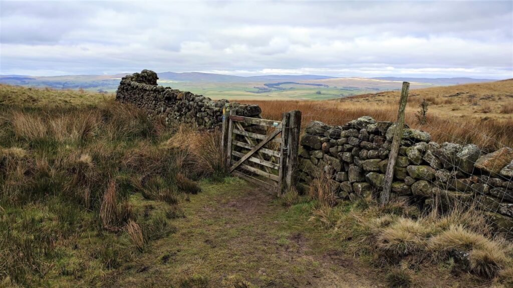
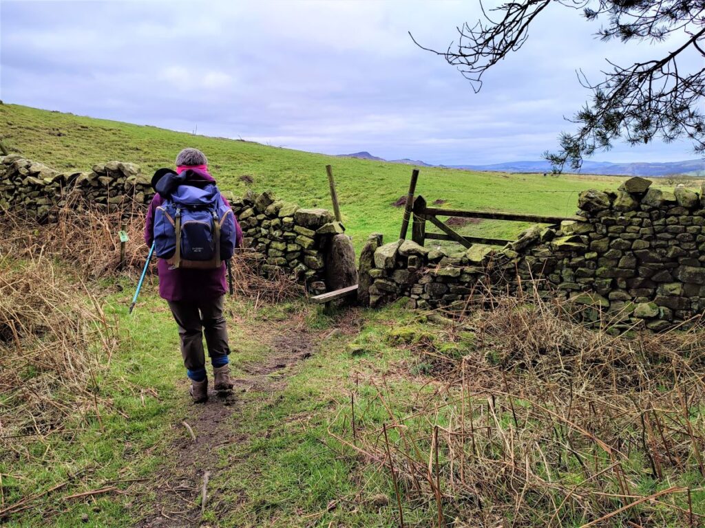
From the gate, the track up to the Haw is clear to see – but note that at this point we are on a bridleway – and the bridleway passes to the right of the Haw, so to reach the Trig point at the top to see the best views we need to make sure we head directly toward the Haw – aiming for the stile and Trig point which are clearly visible.
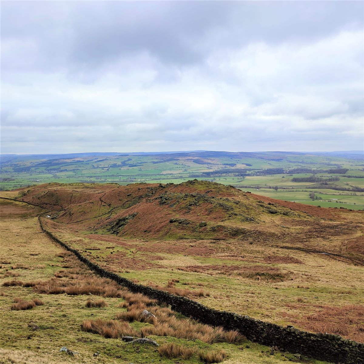
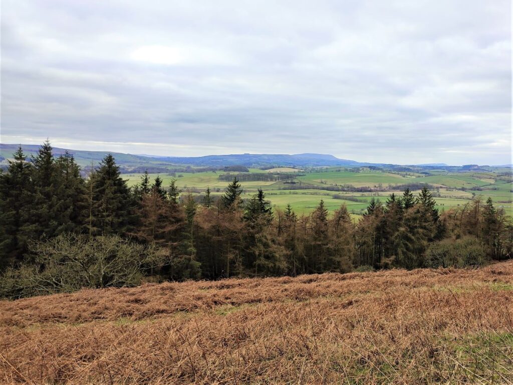
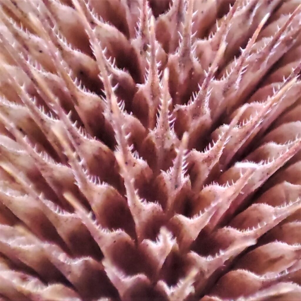
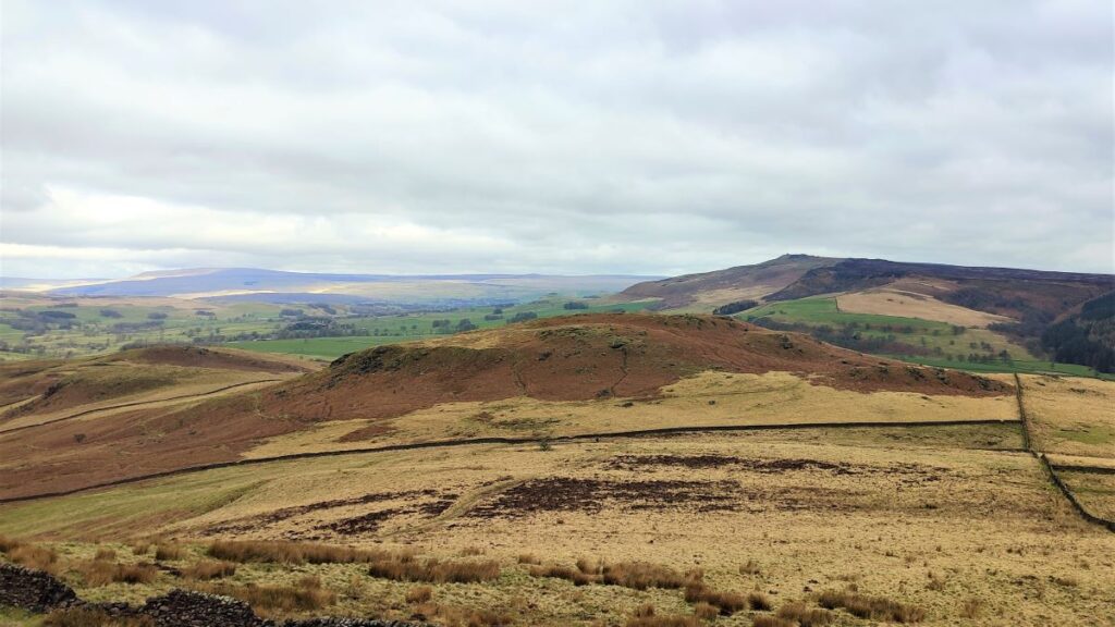
As we get nearer to the peak, the view to the left is dominated by a ridge of millstone grit, and although not particularly visible just yet, the woods through which we return are on the opposite side of that ridge. Also present within the millstone outcrops, but not visited on this walk is an ancient enclosure with carvings that are believed to be neolithic.
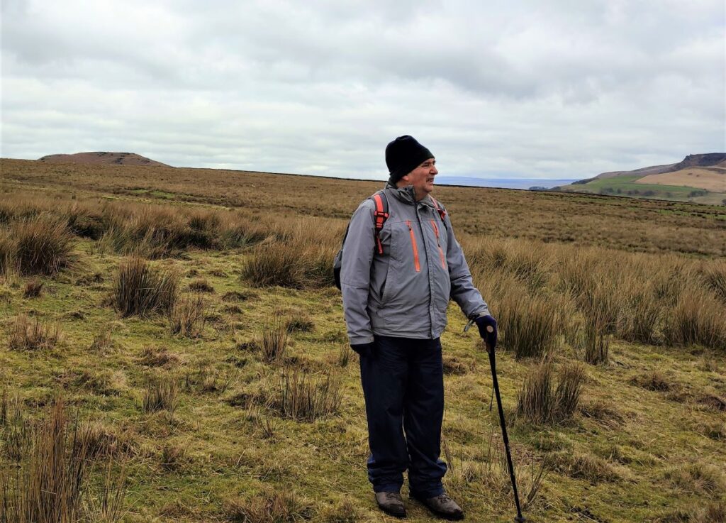
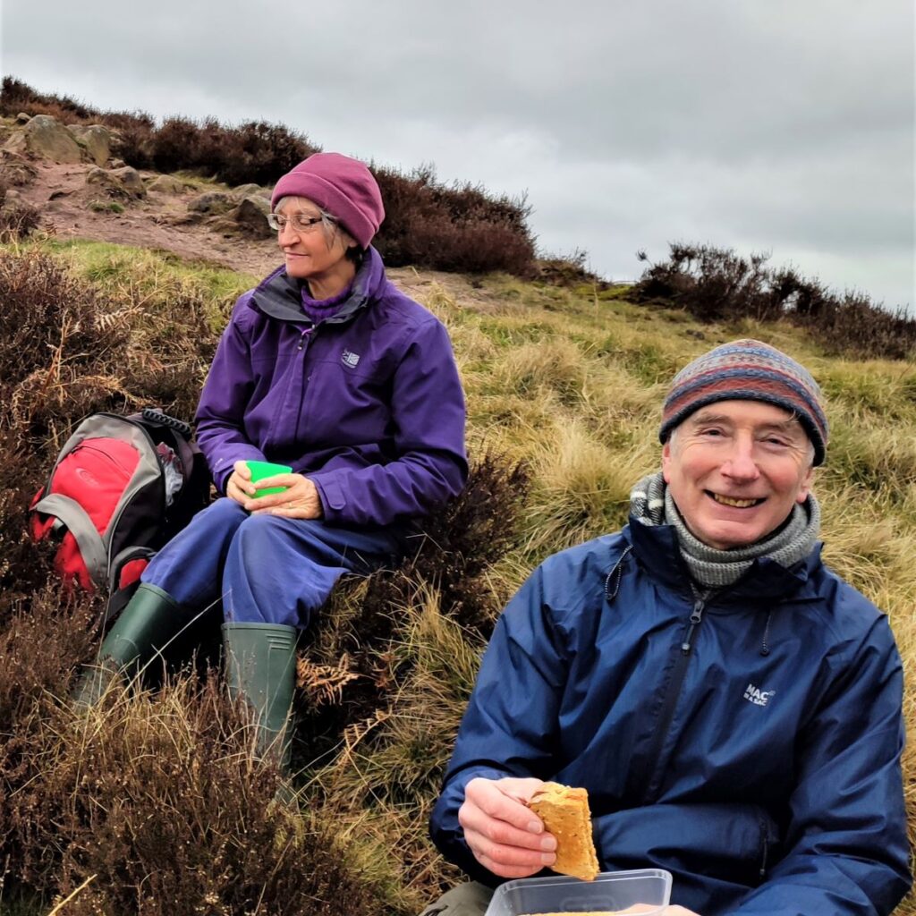
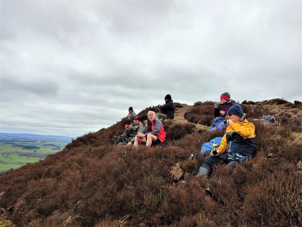
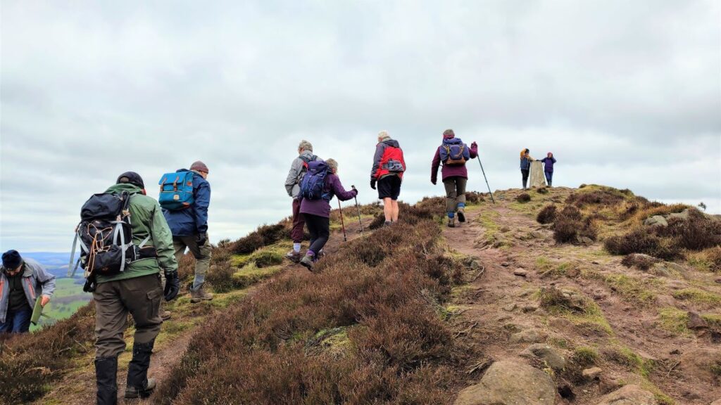
As we approach the Haw, the climb gets steeper, and the last bit to the stile which gives us access to the Trig point and a more sheltered area behind a drystone wall is hard work, but the views from the top make it all worthwhile, and so this is a good place to rest and enjoy a brew.
The path leaves the short ridge at the top of Sharp Haw on the right, and heads steeply down toward Rough Haw, meeting the Bridleway again. We now head toward Rough Haw and find a gate in the drystone wall ahead.
If you want to take a short diversion here to climb Rough Haw, and so be able to say that you did both in one day, then the route is obvious. Make sure you return to the gate though so that we continue safely down to Flasby.
There is some speculation that Rough Haw was an iron age hill fort – it fits the pattern of a potentially worked rounded hill, with ridges typical of such monuments. There are also extensive remains of walling, (more typical of the Iron Age period than the Neolithic). The structure of the site is similar in size and design to the remains at the nearby Horse Close Hill above Skipton, but none of these potential sites have been properly investigated and verified.
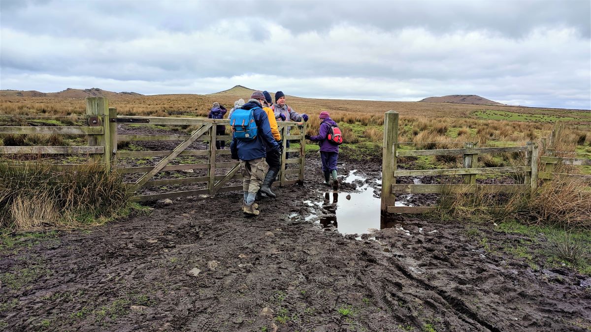
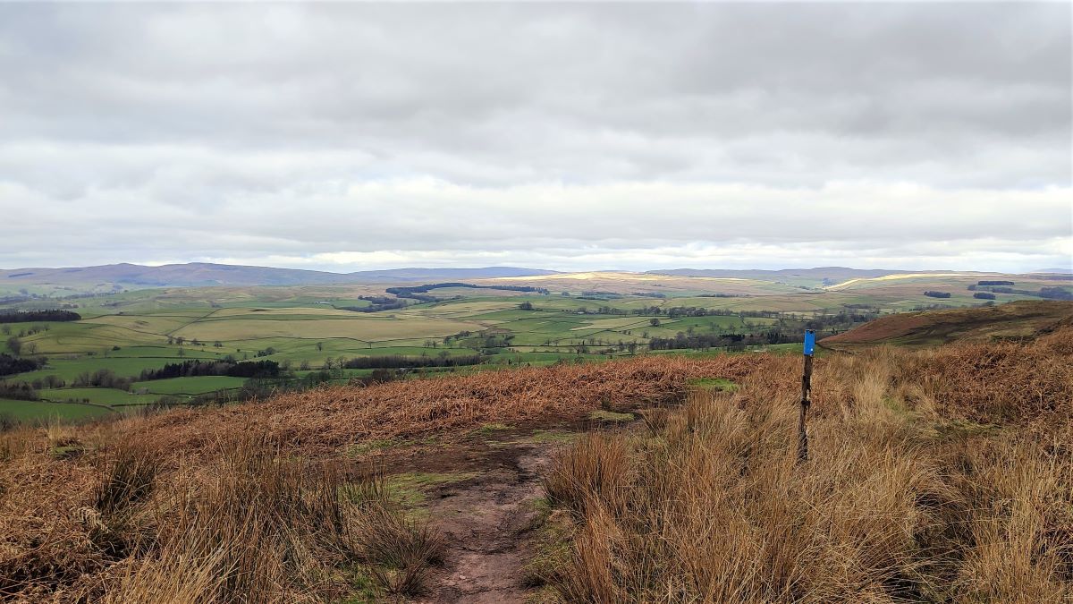
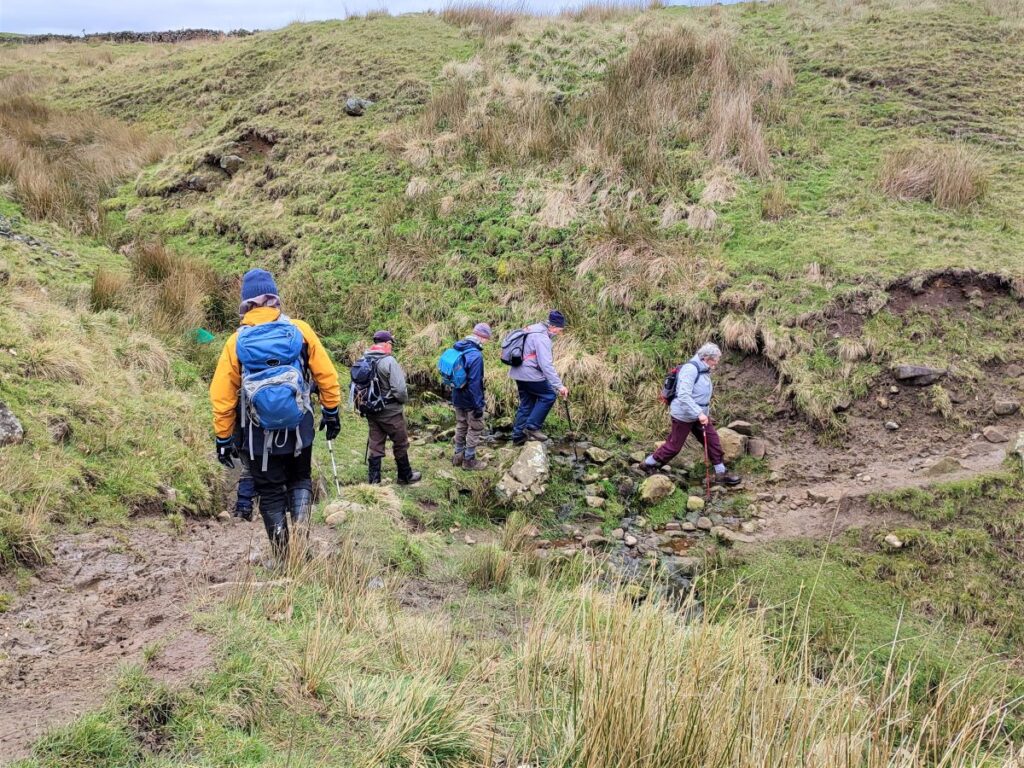
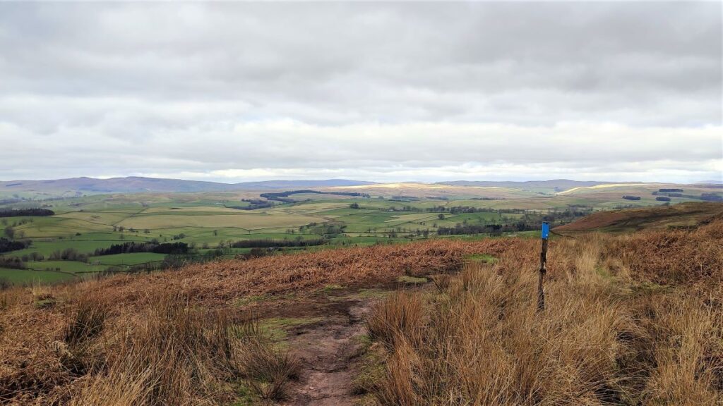
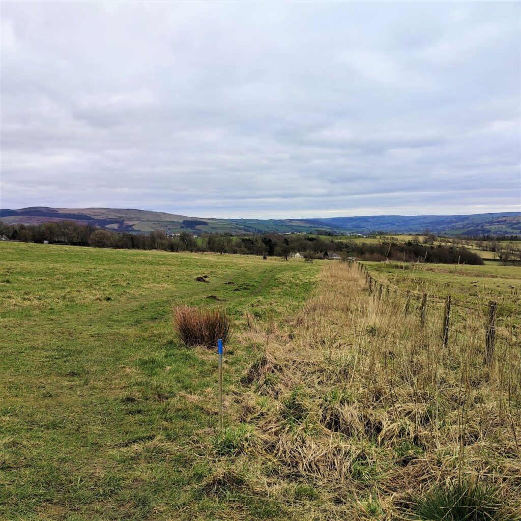
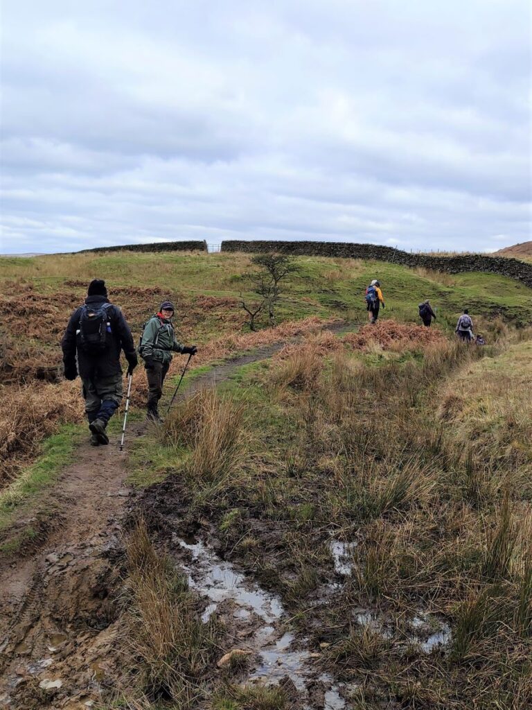
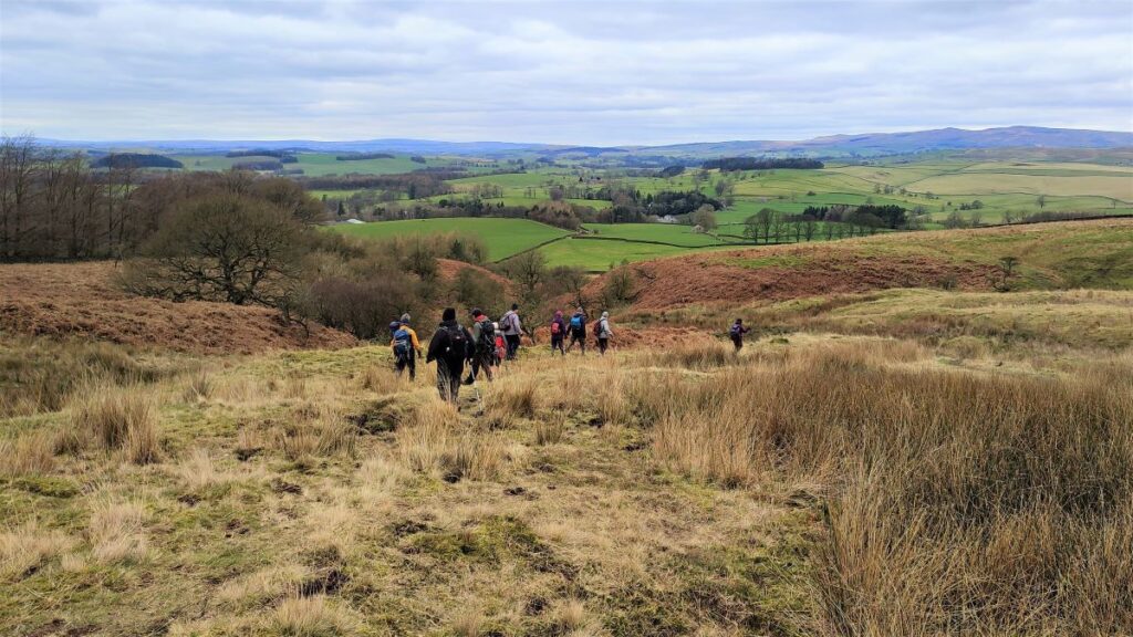
From the gate, we see a path heading left, and we take this to head toward Flasby. The land here is very wet, and the best route down over Flasby Moor changes with the weather. The most reliable route is highlighted by a series of posts with blue painted tops, but you will see a clear fork in the path before long where your choice is right (the blue markers) or left to follow the wall downhill. Having tried both the strong recommendation is for the blue path.
Even this is very wet in places, so expect to have to make a few diversions to find secure footing, the key is to keep the overall direction of the blue route in sight.
After a while we arrive at a gate into a meadow with a clear path heading diagonally across the field. We take this route down to a second gate which accesses a lane, which rather curiously appears to be surfaced with a recycled five-a-side pitch.
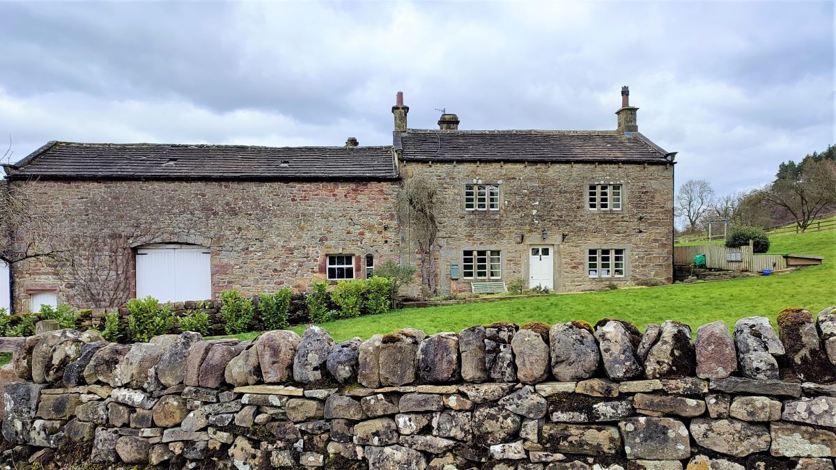
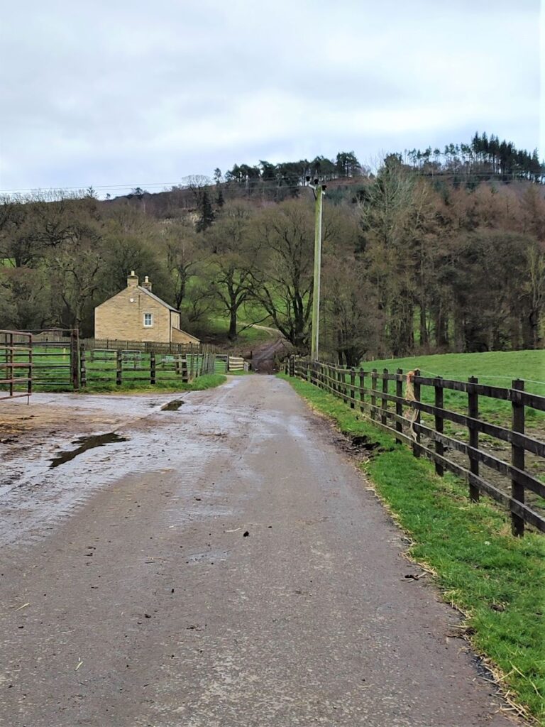
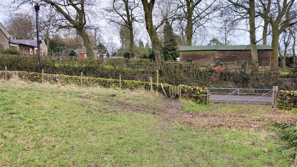
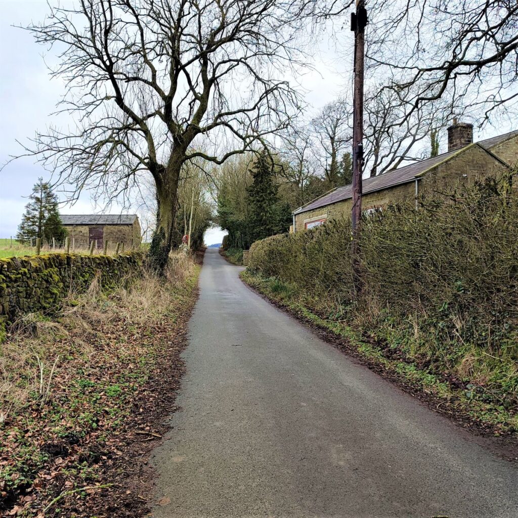
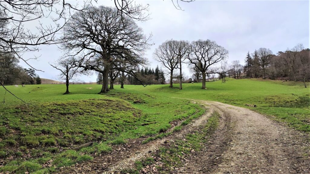
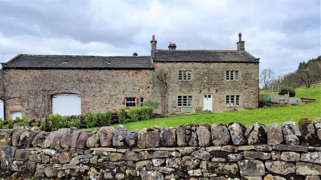
We follow the lane down through woodland and find ourselves at the edge of Flasby next to a particularly attractive farmhouse.
Flasby is a small but ancient Hamlet – it was recorded in the Domesday Book as “Flatebi” in 1086, and the name is probably of Old Norse origin, meaning “the farmstead of a man called Flat” (also though to be the case for Flaxby near Knaresborough). The population now is thought to be around 200, and its modern claim to fame is as the home of cricketer Freddie Trueman.
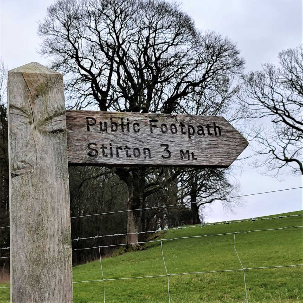
We do not go into Flasby, although adding a quick visit to the walk would be easy. Instead, we take a sharp left and head uphill along a route signposted to Stirton.
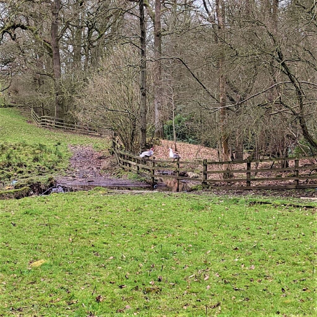
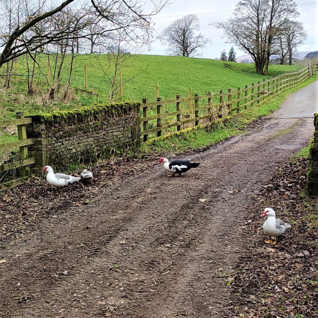
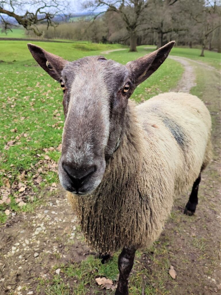
This takes us along a metalled farm road for a short while, passing a wooded area with a pleasant wall that makes a good point to sit and stop for lunch, and we then pass the large modern dairy farm and continue down the lane toward a gate, where we may find a number of Muscovy Ducks.
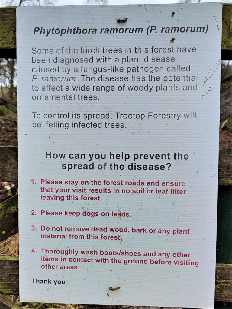
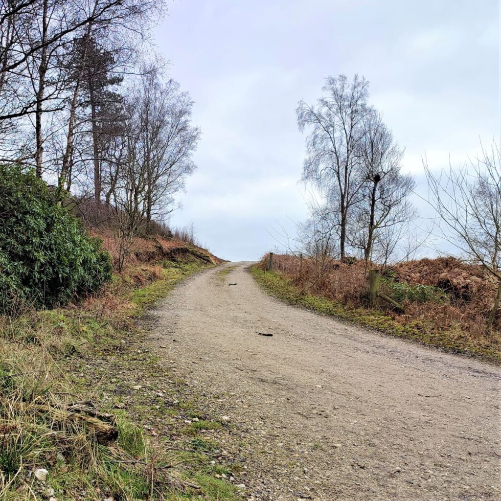
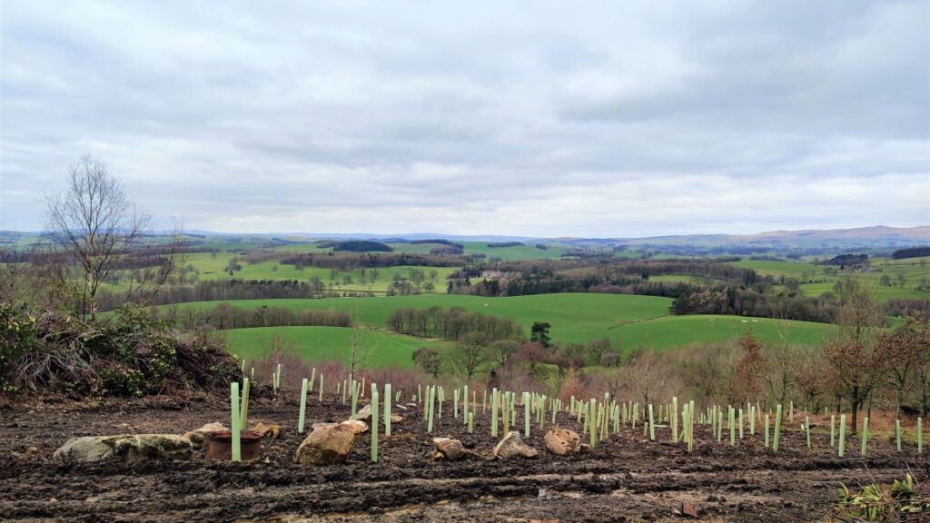
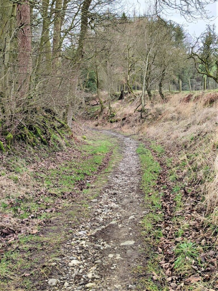
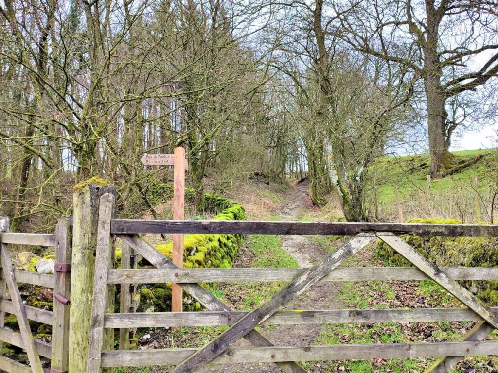
Beyond this the road becomes a rough track and curves round, first to the left then to the right to rise up toward the entrance to the woodland. At the time of our visit, the woodland looked somewhat depleted, with much of the existing stock having been cleared to fight an outbreak of Phytophthora – a fungal infection. This has necessitated the use of heavy plant, so the return journey turns out to be just as muddy as the outward route.
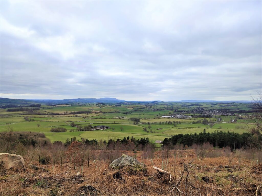
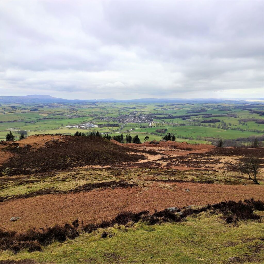
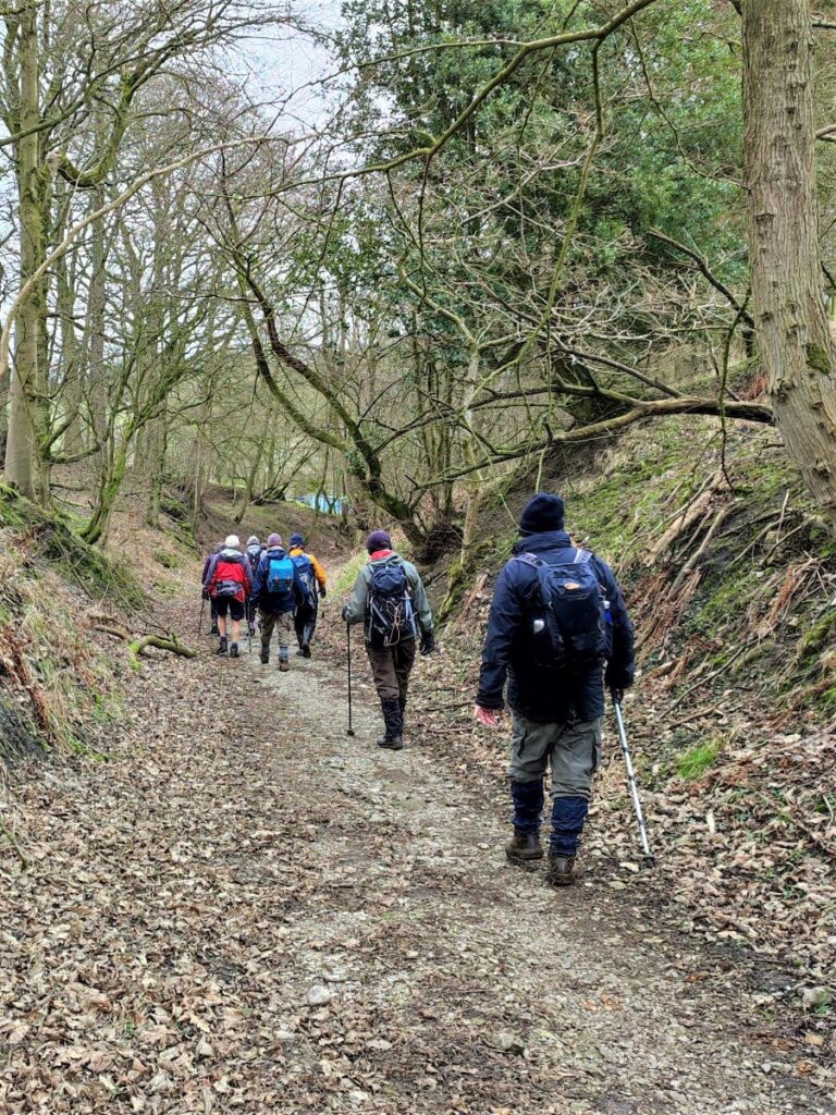
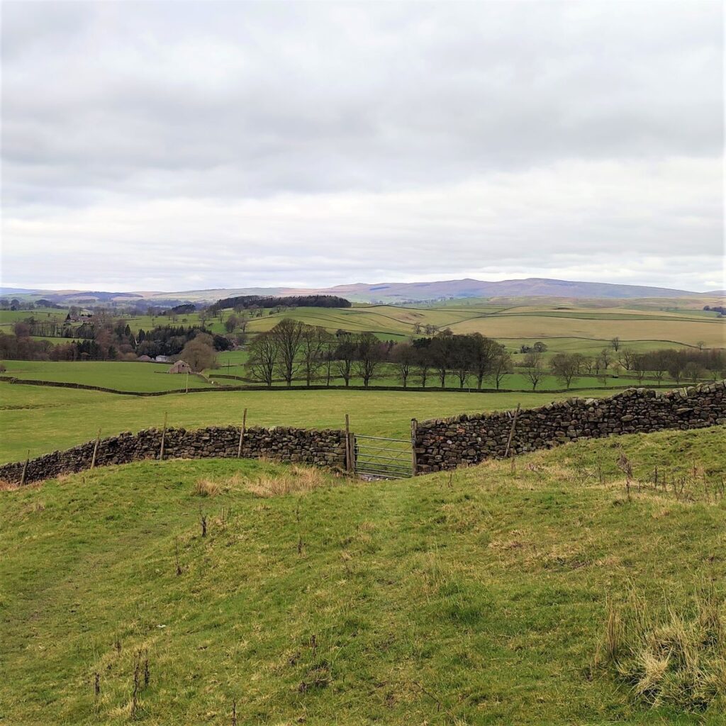
The track through the woodland is clear – although occasional diversions to find a passable route may be needed. The path rises quite steeply at first, but soon levels off and arrives at a T junction where we can choose to go either left or right. In fact, either route is acceptable, as the tracks come back together later. We recommend the higher route to the left because the views over to the canal toward Gargrave are better.
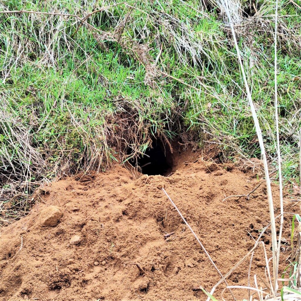
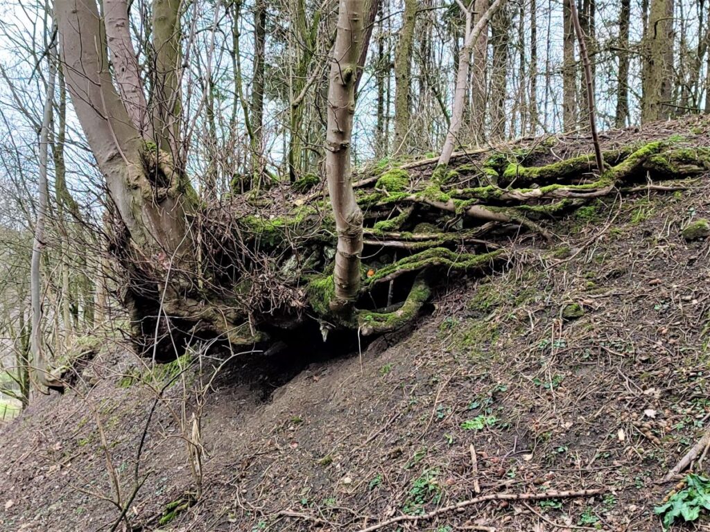
We follow the forest track for a good while now, noting badger setts as we go. We pass a hut on the right and then as the track starts to rise and curve sharply to the left, we look out for a path leaving the track to head right down to a stile into the open fields beyond. If you miss this and continue along the track, then don’t worry – the track is in fact the one we started on, so you will arrive safely back at Bog Lane.
Our route crosses the field and then a stream in a deep ravine and then heads over to a gate which gives us access to a path along the edge of a field. We follow this for a while – take care the mud here is slippery – until we arrive at a stile where we turn right to follow the field boundary back to Bog Lane. There is a good chance that you will see Kestrels hunting here if you are quiet for a while.
At the lane we turn left and walk uphill. We continue with this very quiet road for a while until we arrive back at our starting point.