Jump to . . .Step by Step | OS Map | Downloads | Gallery | Fly through
Grisedale is not well known, and often missed by visitors, but there is a simple beauty in this Dale – which is what why we chose this walk.
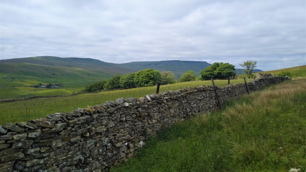
We start at Garsdale Station and then head up Grisedale to East Scale and the Quaker Burial Ground, before walking up Galey hill to Flust where we pick up the Pennine Journey path down to the B6259.
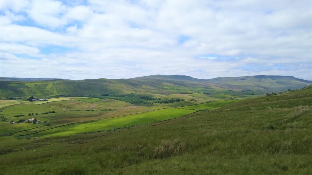
A very short section of road walking takes us to Quarry Farm where we head over fields and through a plantation to Lunds Chapel, before climbing (quite steeply) up the side of Abbotside Common to pick up (Lady Anne’s) High Way. We follow this along the valley side for a while before heading down the Pennine Bridleway to the Cobbles Plantation and Ure Force.
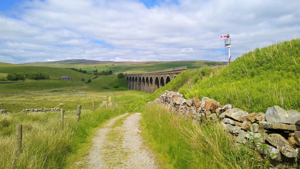
A brief stop at The Moorcock Inn is a recommended option, before crossing the A684 and walking under the impressive Dandry Mire Viaduct to return to the start.
We rate this walk as challenging because it is quite long – but none of the paths are difficult.
- Total distance 15.3 km (9.5 miles)
- Total Ascent 590 m
- Challenging walk
Step-by-Step
Our walk starts at the Railway Station at Garsdale – We parked at the “overflow” carpark on the right of the station. Please be aware that the station carpark is primarily provided for rail users and be aware that ample parking is also available on the road.

The station is easy to find, and well signed from the A684 – but if in doubt, Sat-Nav Users can use the station postcode – LA10 5PP, whilst paper map users will find grid reference SD78719168 locates the carpark, and for What-3-Words users, the tag is “twinkling.graphics.quiz”.
From the car park we set off left, heading down hill on the “Coal Road” – noting the rather dire (and entirely accurate) warning about the dangers of using this unclassified road in the winter.
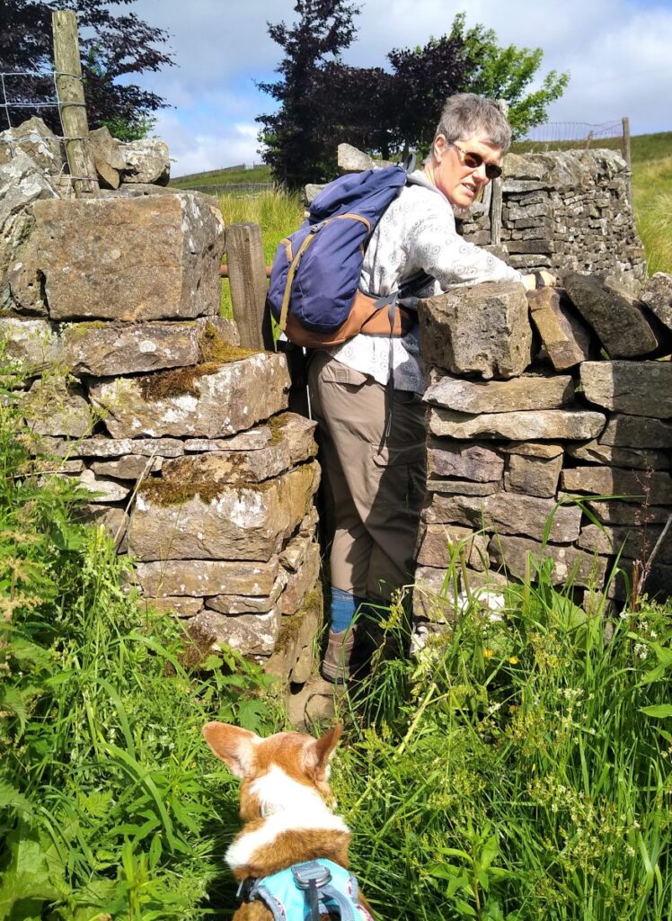
When we meet the A684 at the bottom of the hill, look for a squeeze stile in the wall opposite. This leads into a rough pasture where we head straight on. The corner of the field where the stile enters has a water trough that leaks a little so that corner may be quite boggy – an alternate route would be the gate just to the right of the stile – obviously making sure that is closed after use.
We now head uphill, aiming for another stile directly above our first – this is not visible at first, but becomes clear as we head onward.
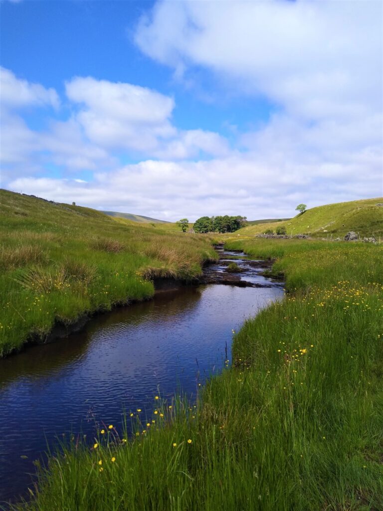
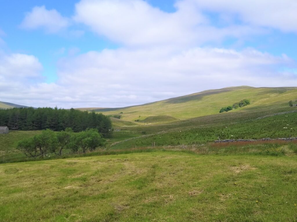
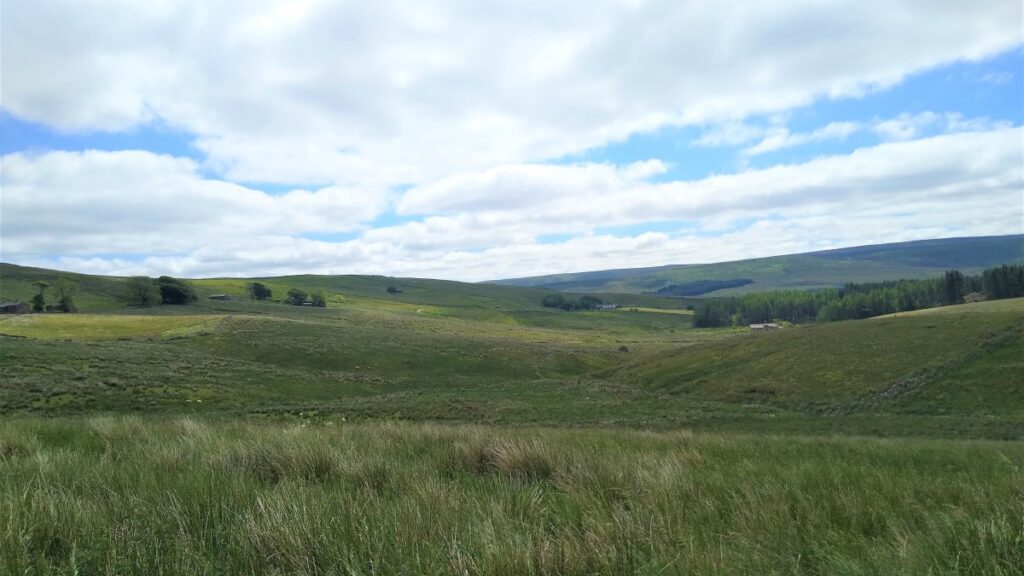
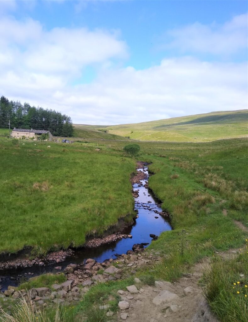
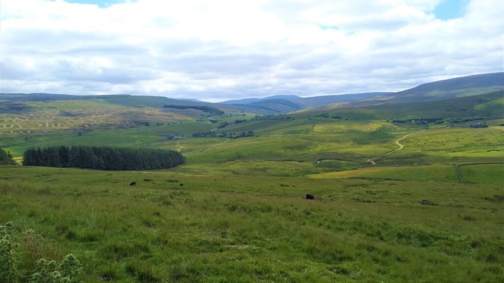
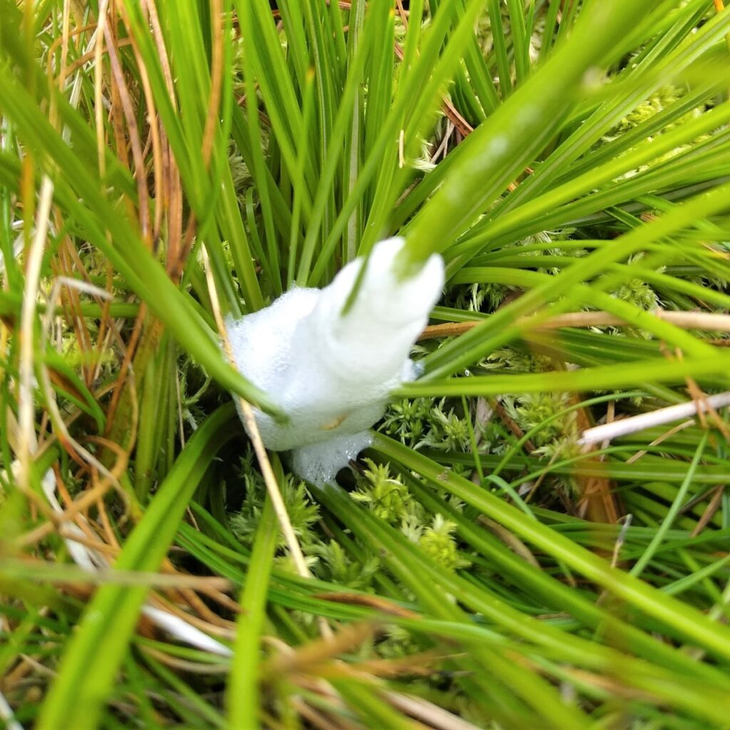
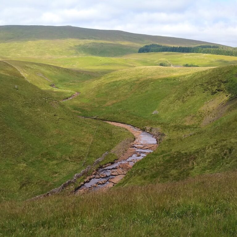
After the second stile, the ground is flatter, and initially follows the route of the beck in the valley to the left. The OS map indicates that this is Clough Force – although as we see from the pictures we took on the day of our walk, the stream does tend to disappear during dry periods: We are now in Grisedale.
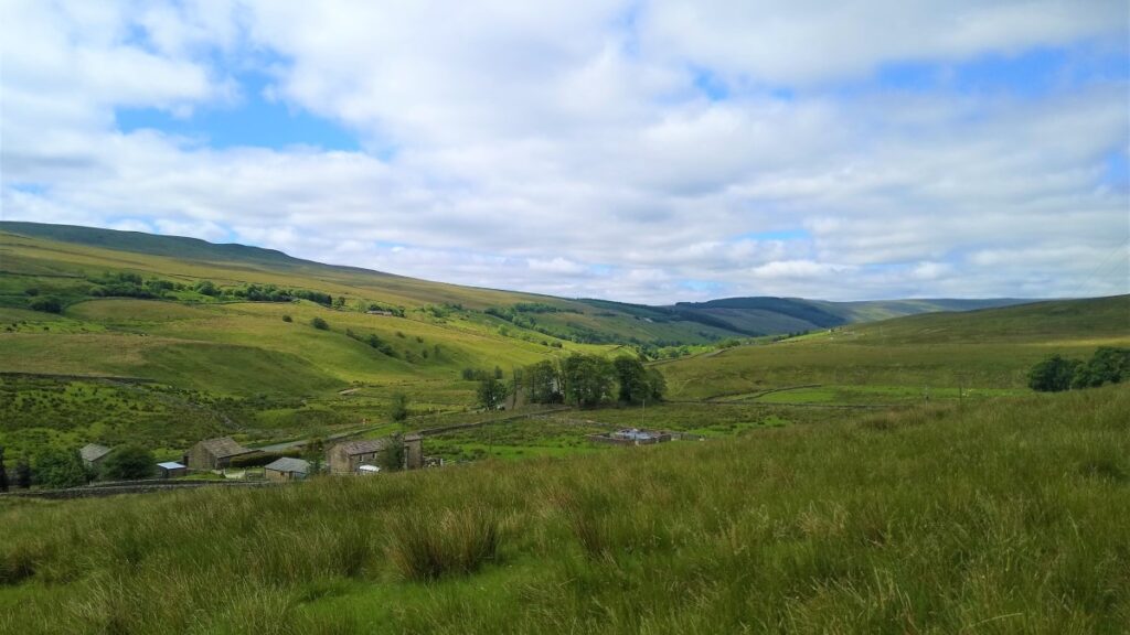
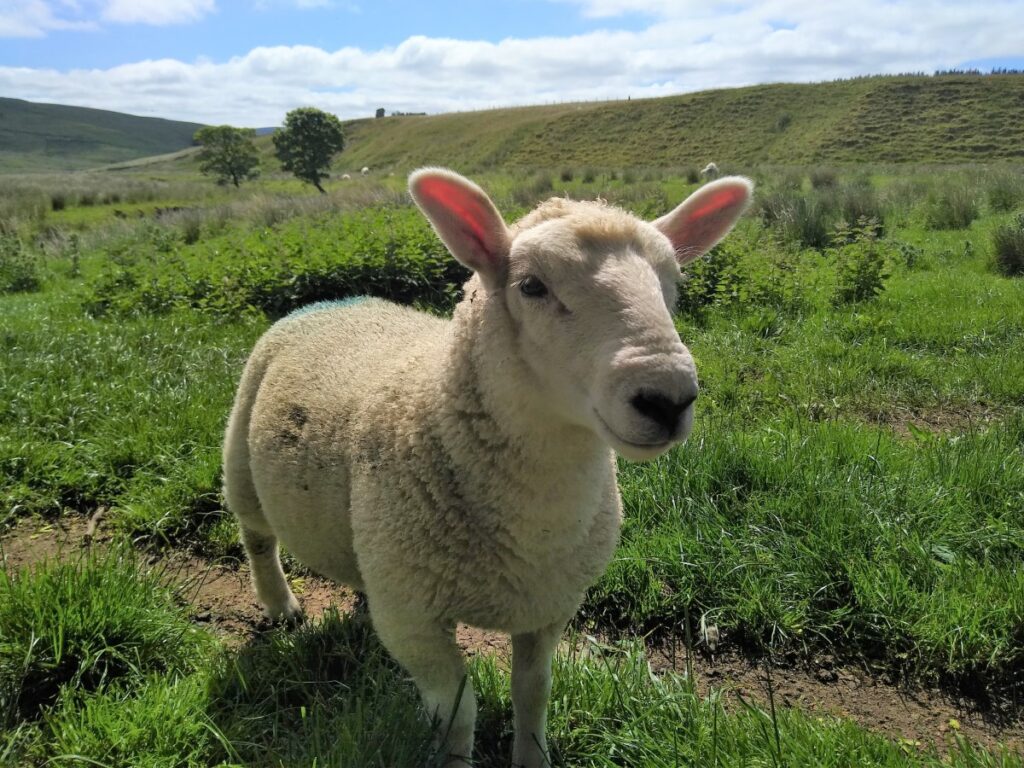
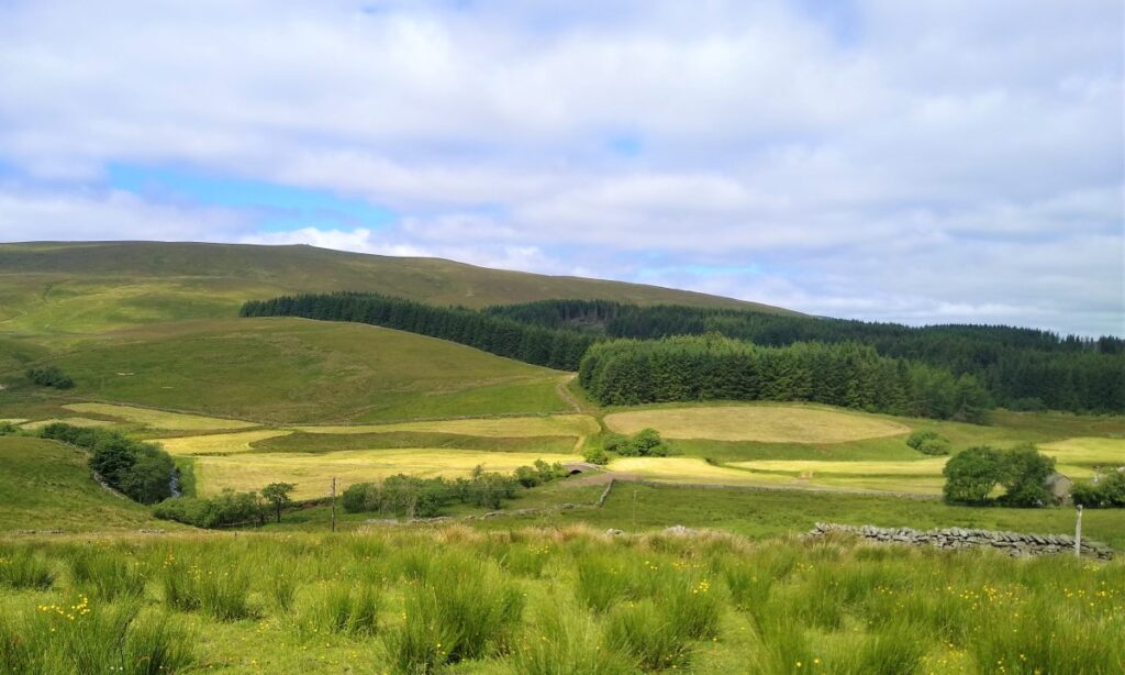
Grisedale (not to be confused with Grizedale in the Lake District) is certainly one of the lesser known and less visited of the Yorkshire Dales – so much so that in 1975 Yorkshire TV made a film entitled “The Dale That Died” which focussed on the struggle to keep farming and methodism viable in this sparsely populated area. Nearly fifty years later, Grisedale would better be described as the Dale that refused to die – farming continues, and the population has recovered somewhat.
The 1975 film is freely available to watch through the BFI player – this film – and indeed many of the items in the BFI archive are well worth discovering.
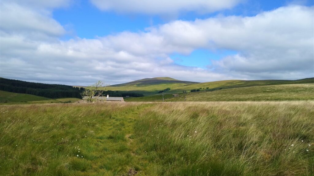
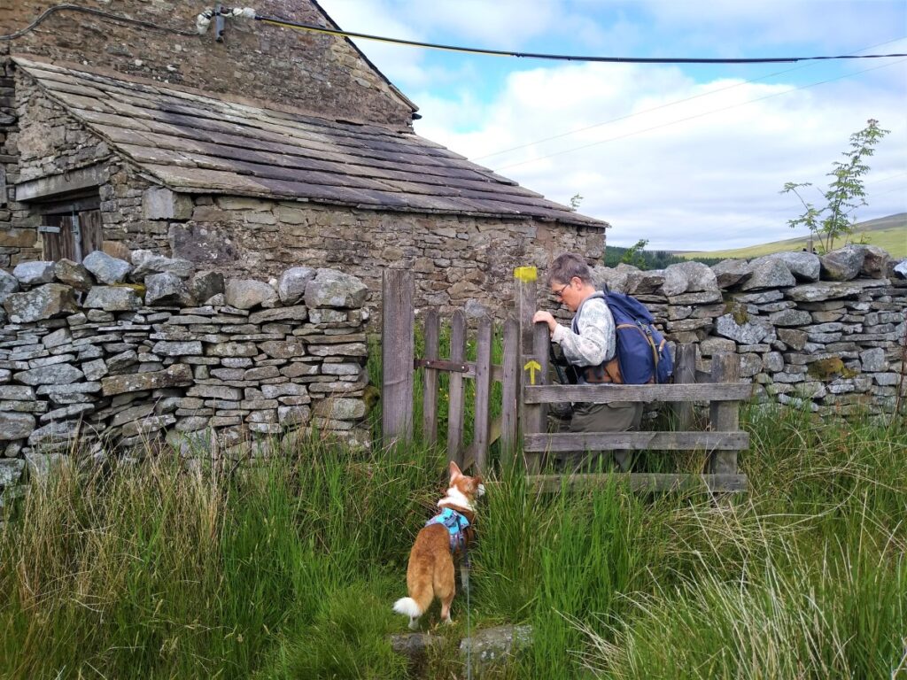
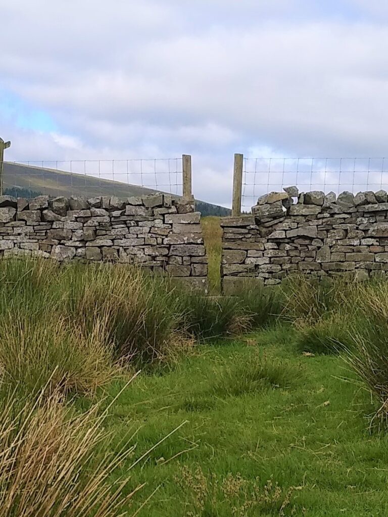
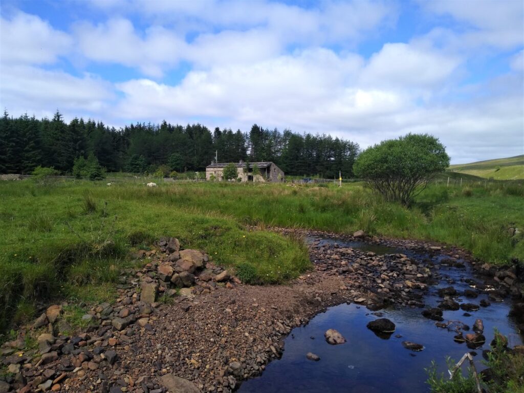
Ahead of us, we see a farmhouse – this is Blake Mire, and our path goes through a gate to the right of the building to pick up a short section of track. We follow this for a short while (no more than 100m) before seeing a stile in the wall to our left which takes us back out onto scrubby moorland.
At this point, it’s easy to misinterpret one of the fence posts downhill as being a way marker – it’s not. Stay at the same level and track along the contours to find a stile in the wall. From here the path is clearer and is marked by ad-hoc yellow markers.

The path soon becomes a farm track and heads down toward a gate onto a minor road, where we turn right and head gently uphill toward a farm building at Rigg Moor. As an alternative, there is a path across two fields roughly parallel with the road and emerging at Rigg Moor – the choice is yours.

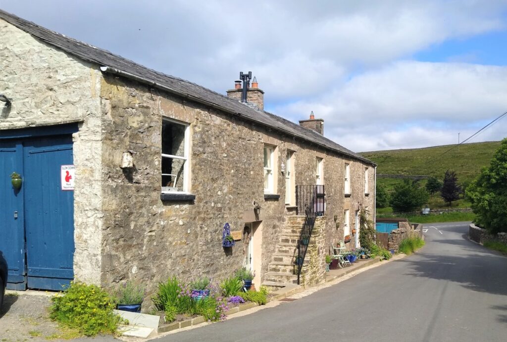
From the road at Rigg Moor, look left and downhill to find the stile in the drystone wall which takes us Northwest and gently downhill toward a modernised farm building at Reachey – the path here goes along the side of the river, so can be quite muddy if the weather has been wet for a while.
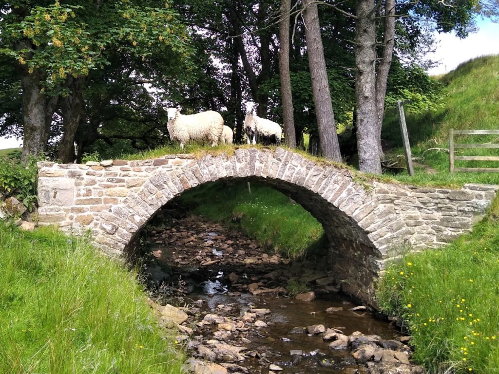
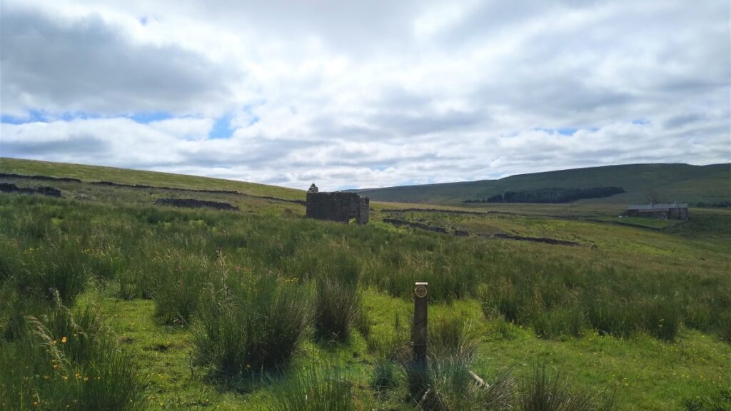
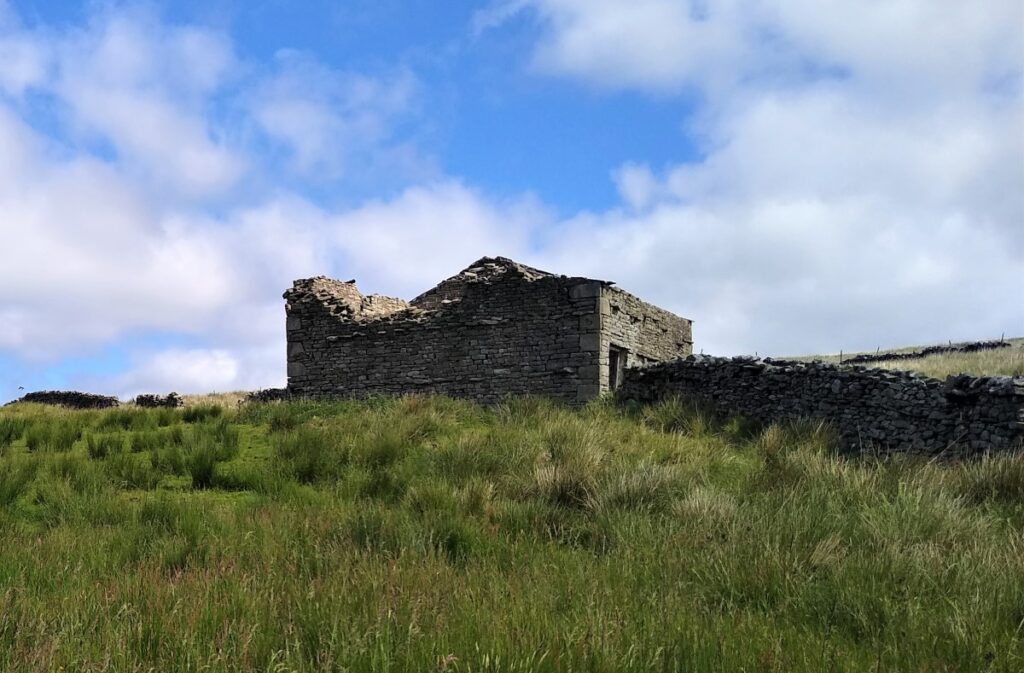
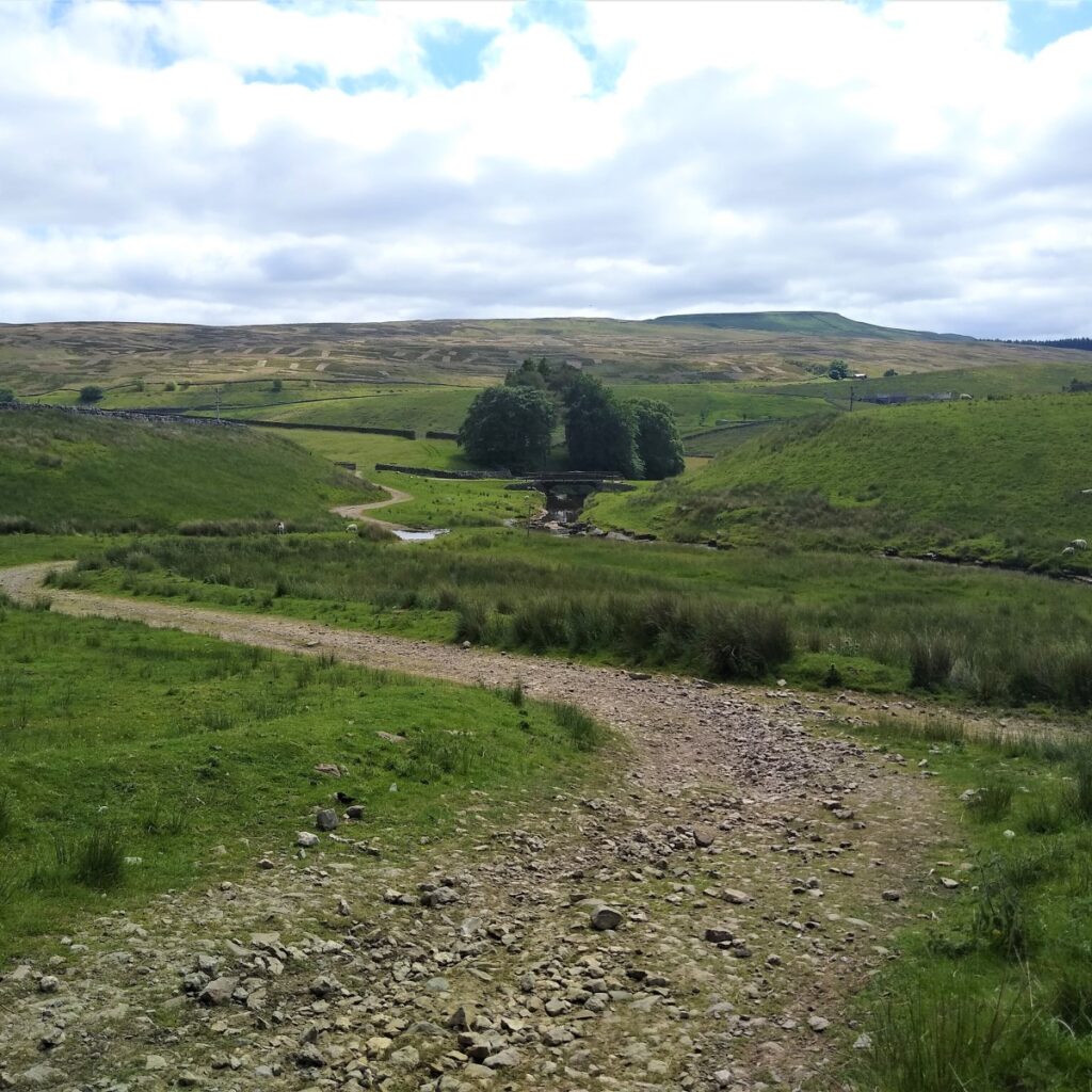
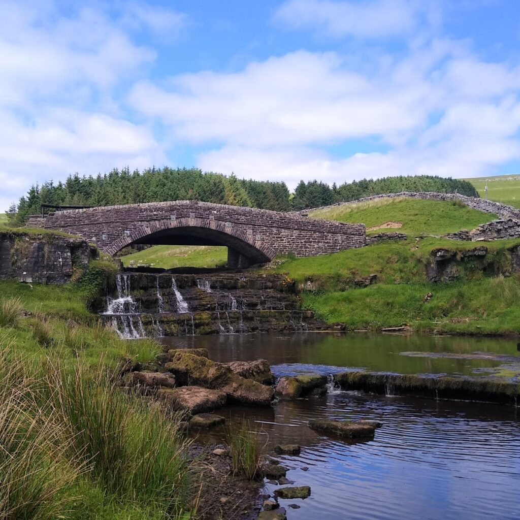
At Reachey, we keep the house on our left and follow the clear path along the riverbank until we see a delightful packhorse bridge at East Scale.
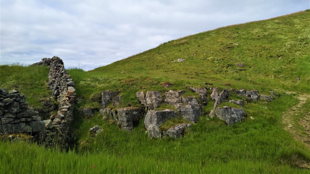
The bridge gives access to two farms, referred to as East and West Scale – both are currently derelict.
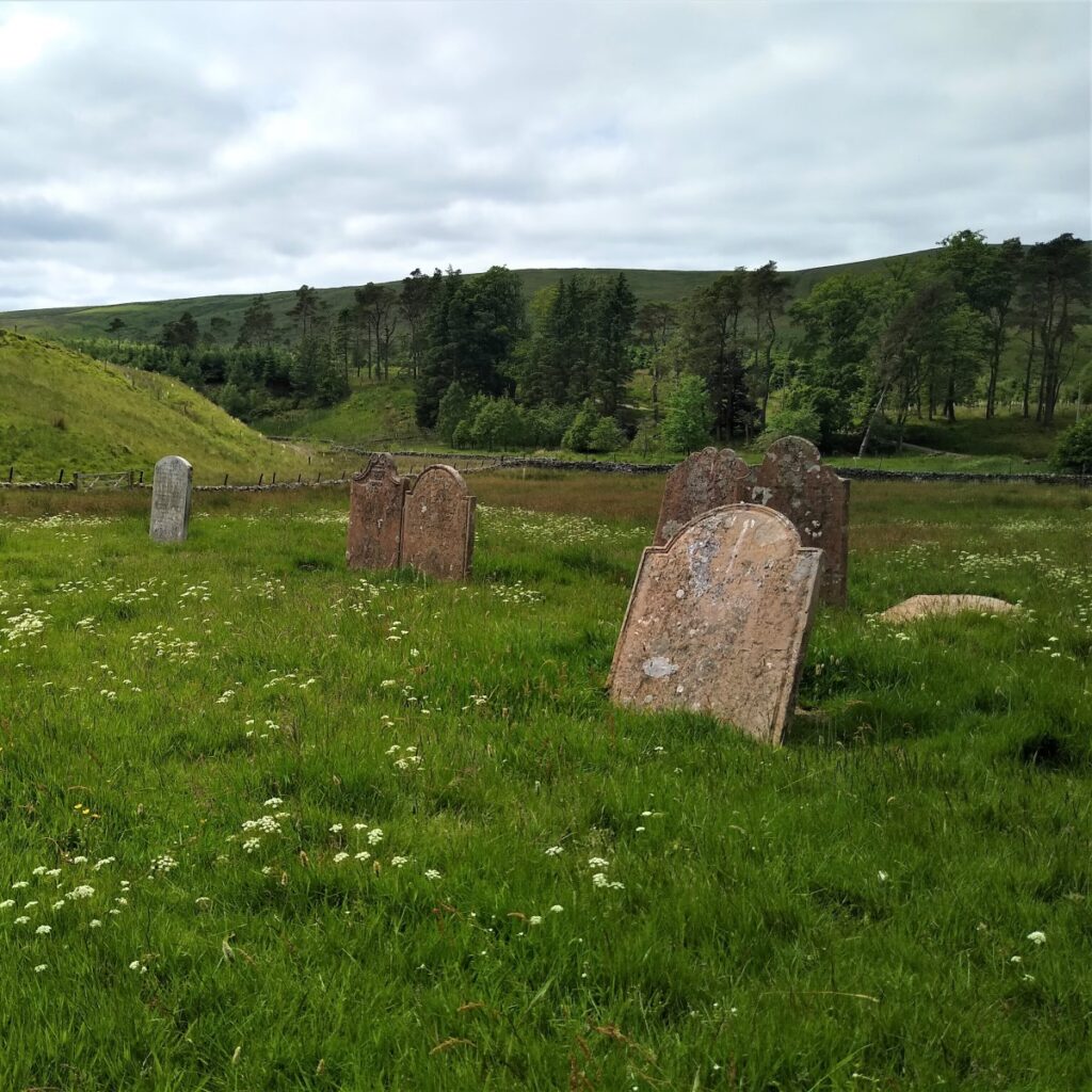
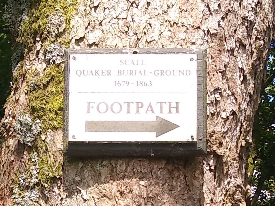
Also at this location is the Quaker Burial Ground – the Society of Friends often purchased their own burial sites as established religions would not permit Quakers to be buried in their graveyards.
Quaker burial grounds do not feature displays of status such as gravestones so they may often look like open fields initially – despite containing quite large numbers of graves.
The two farmhouses at Scales, and a good acreage of surrounding land were bought in 2001 by musician Vince Clarke, probably best known as one of the founders of synth-pop band Depeche Mode. His plan, as revealed in (granted) planning permissions, was to renovate East Scale into recording studios, and West Scale back to a residential dwelling, with one of the ruined outhouses to function as an office and archival storage for master recordings. As we see from the current dilapidated state, this did not happen.
The site was listed for sale in 2007 but failed to sell, and further (simpler) planning applications were granted in 2011 showing the restoration of just one of the buildings. Again – this has not been actioned.
From here, the OS map, and indeed the signage, shows the footpath continuing up the side of the valley before turning back and heading back toward the track that we see at the packhorse bridge. Given that there is nothing specific to see at the point where the footpath doubles back, we opted to walk up the track to the farm building at Flust.
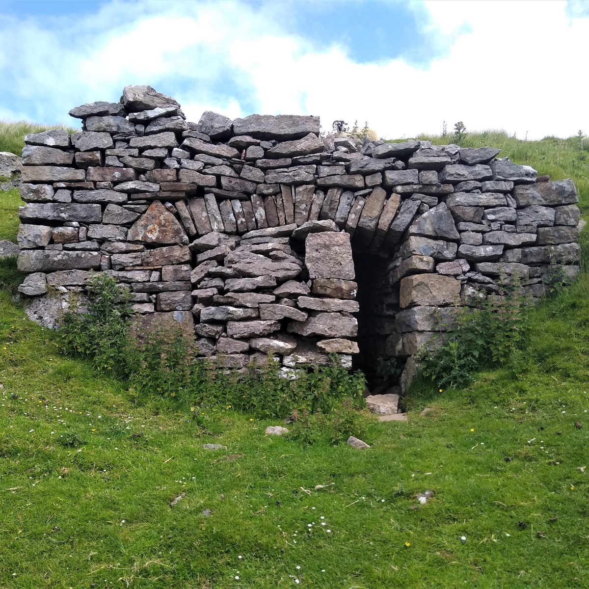
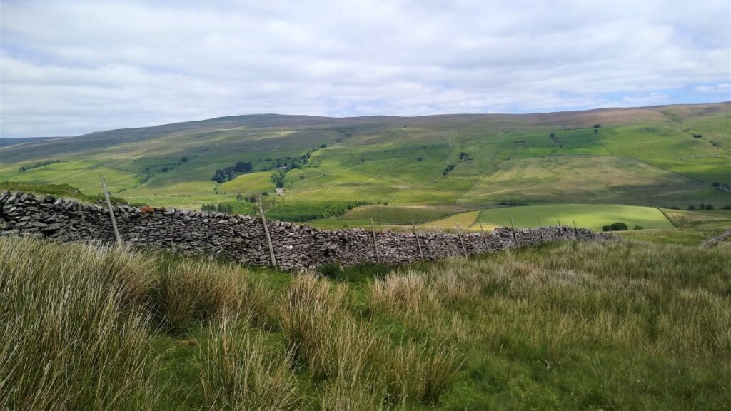
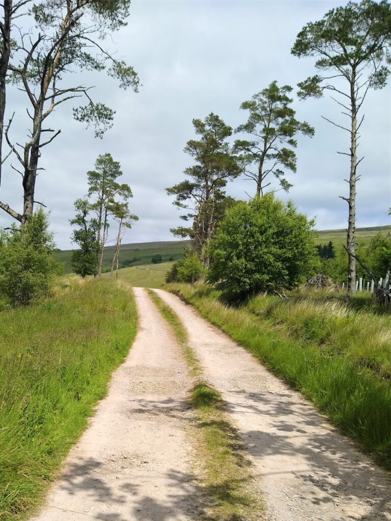
Don’t be tempted to take the footpath below the farm – press on through the farmyard to pick up the wider track that is part of the Pennine Journey. We now follow the track Southeast along the side of Grisedale Common, passing a lime kiln converted to an animal shelter on our left.
The track soon turns right and heads downhill, and at this point we stick with the Pennine Journey path as we head straight on across flattish moorland toward a high ladder stile – which we use as a landmark as we approach.
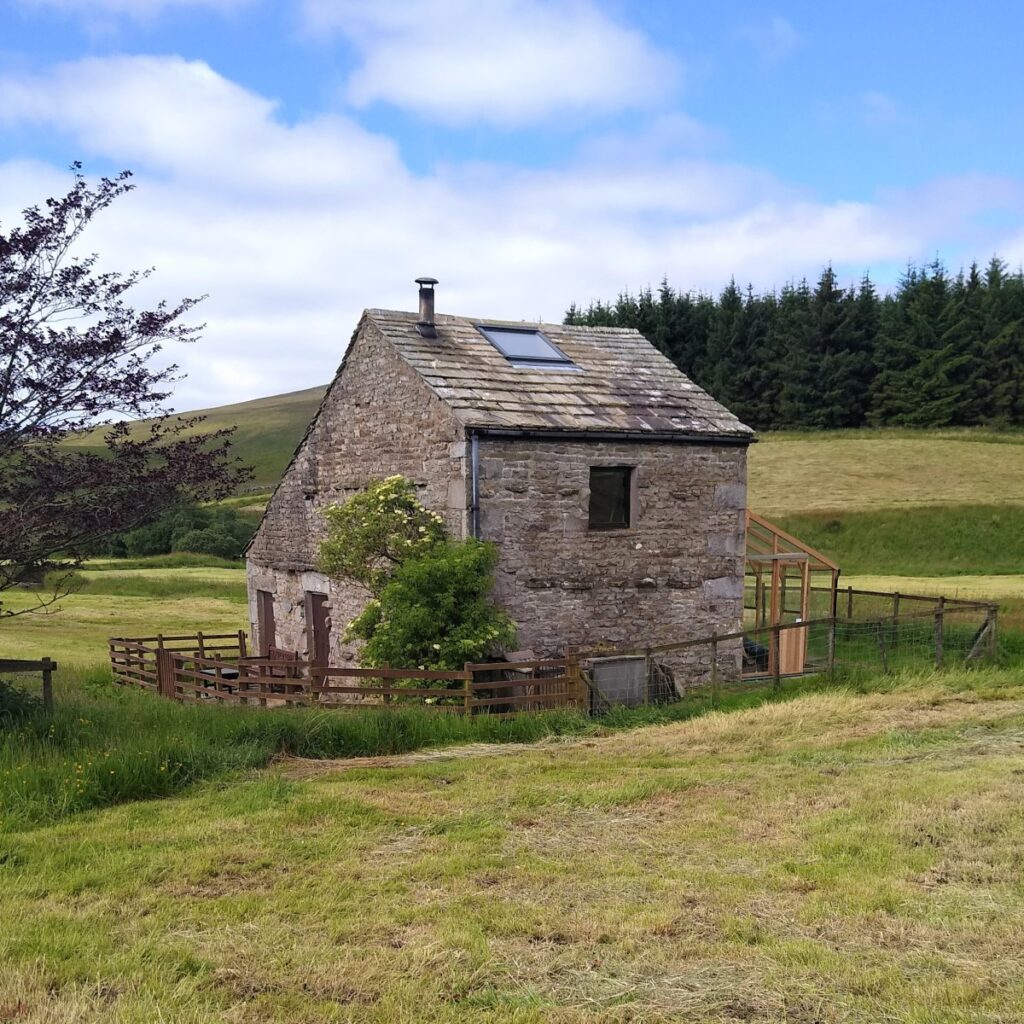
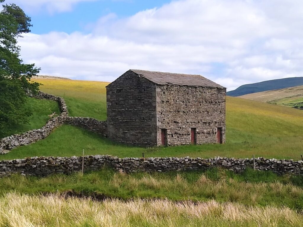
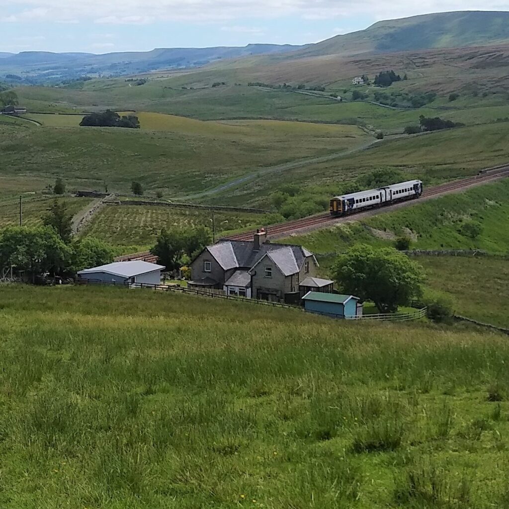
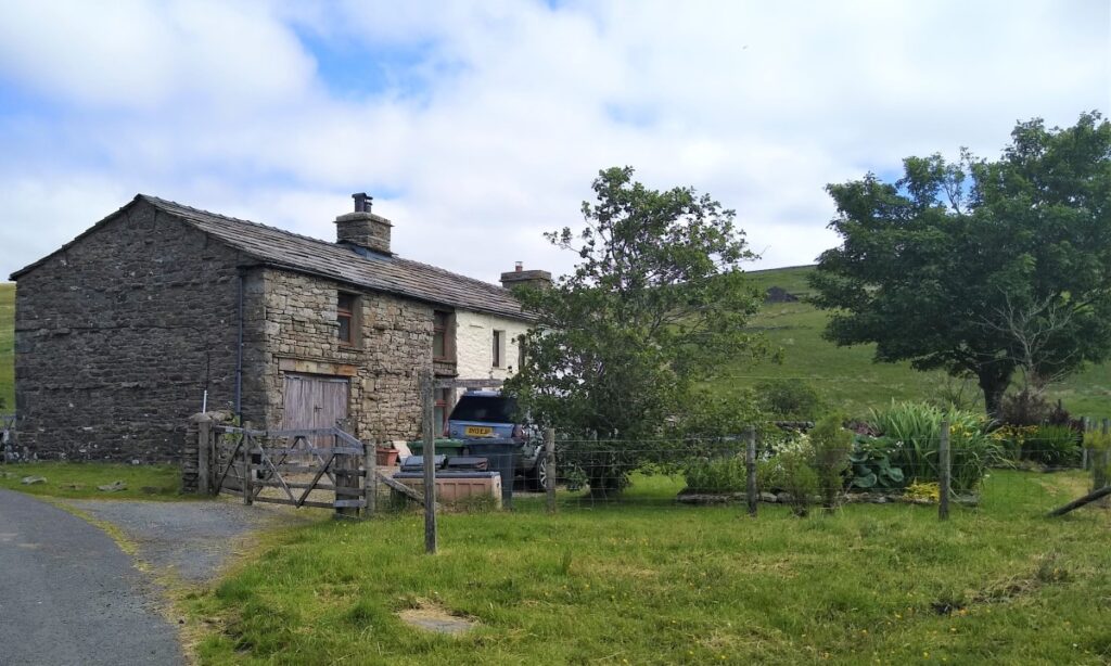
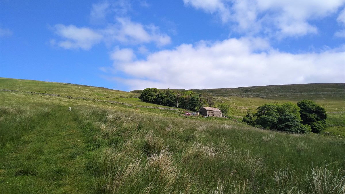
From here the route may seem a little unclear – so make sure that having crossed the ladder stile you keep the drystone wall on your left tracking it downhill toward a footbridge over the railway, next to this attractive property.
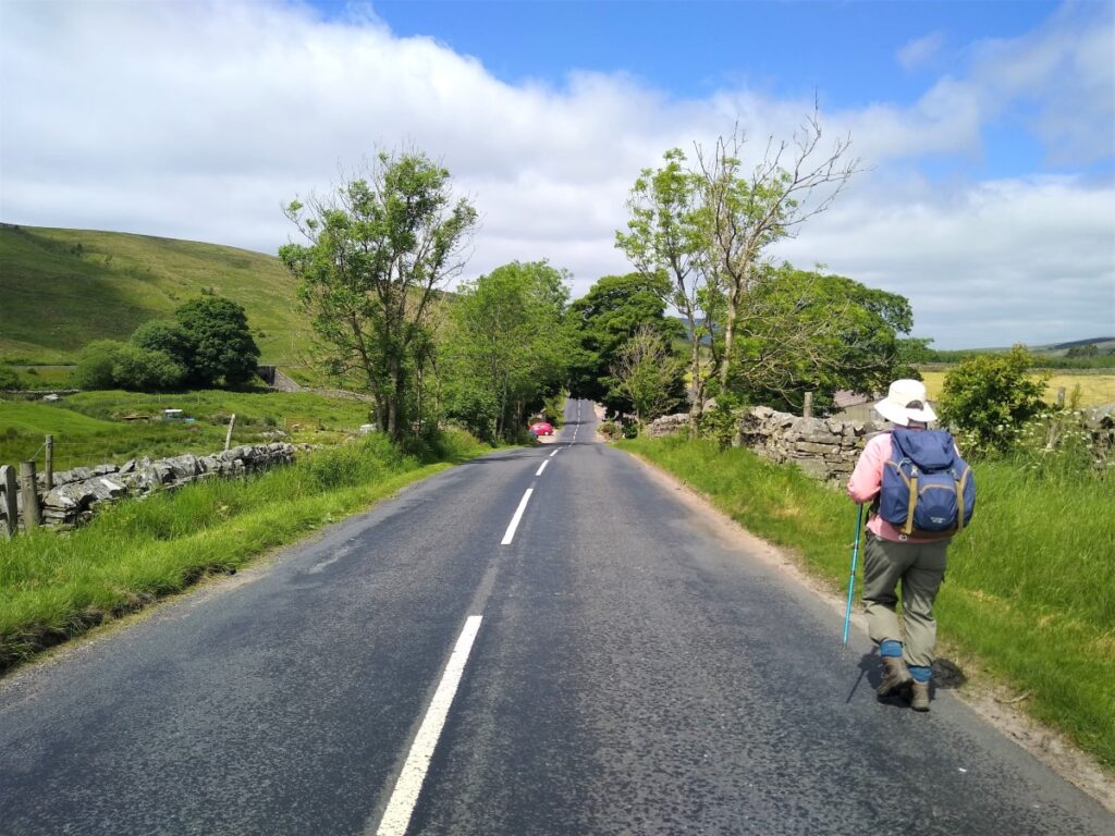
Having crossed the railway, we cross the field roughly along the line of the telegraph poles to find a stile onto the B6259. This is the main road through to Kirby Stephen, so take care.

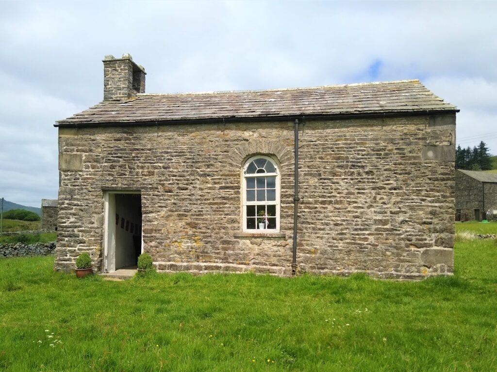
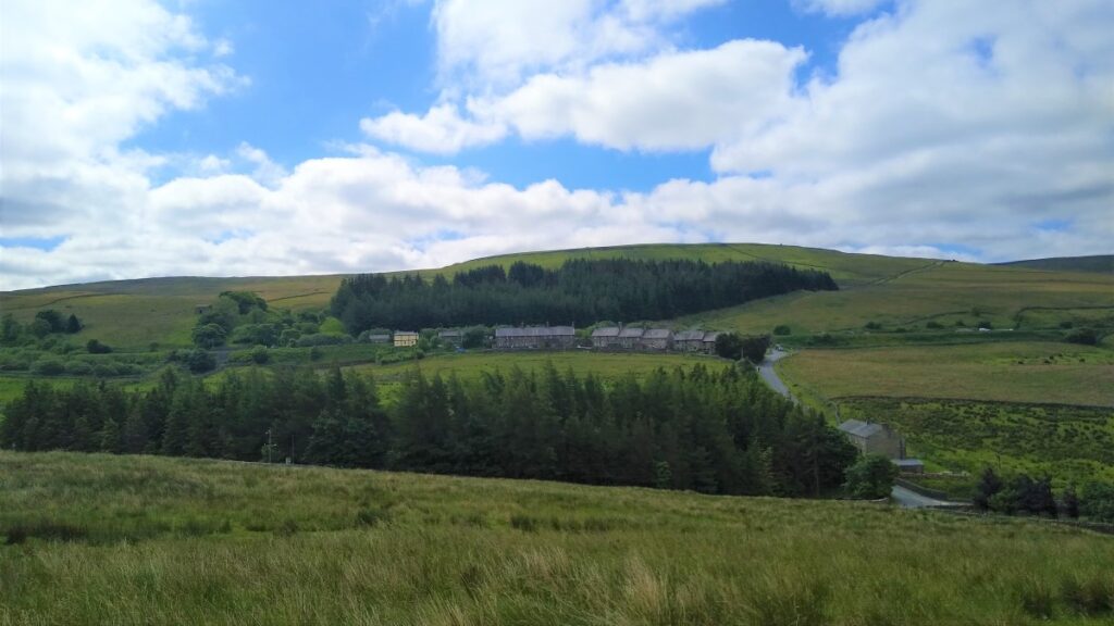
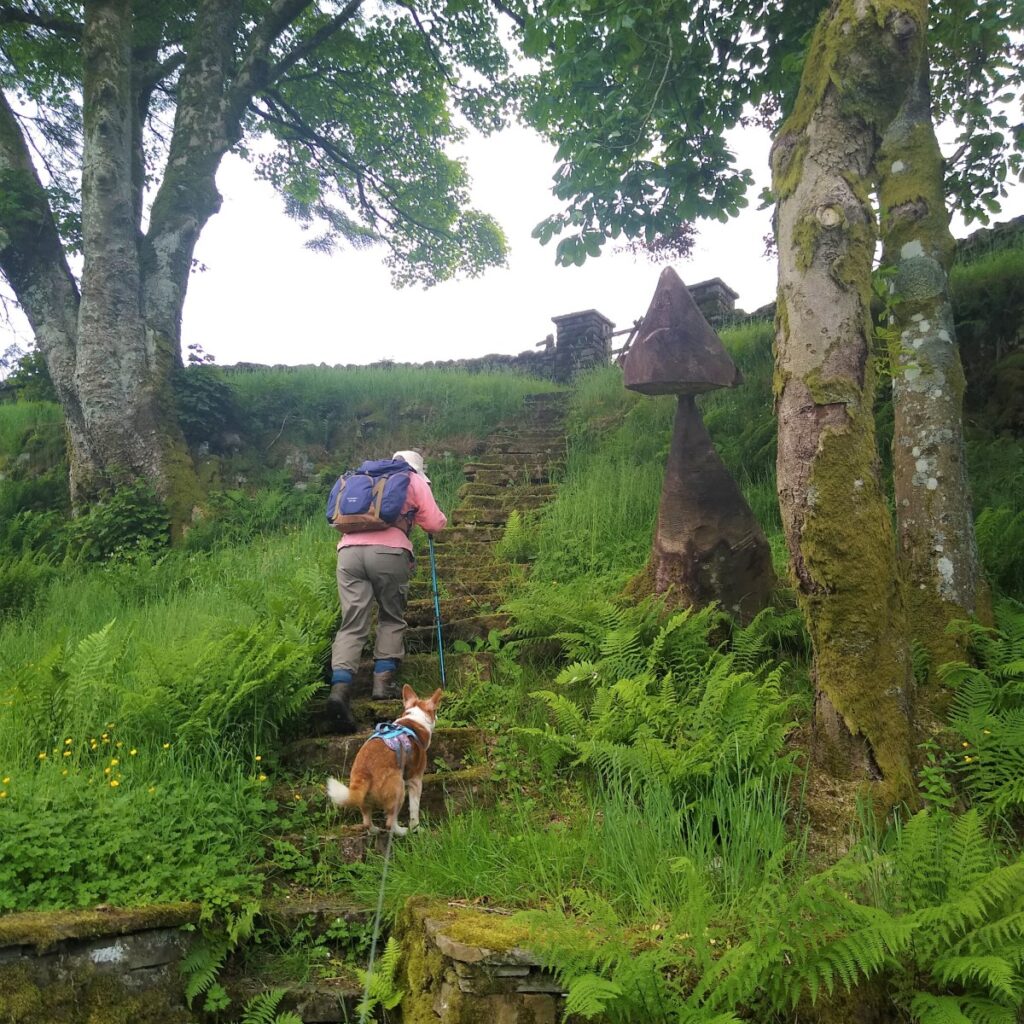
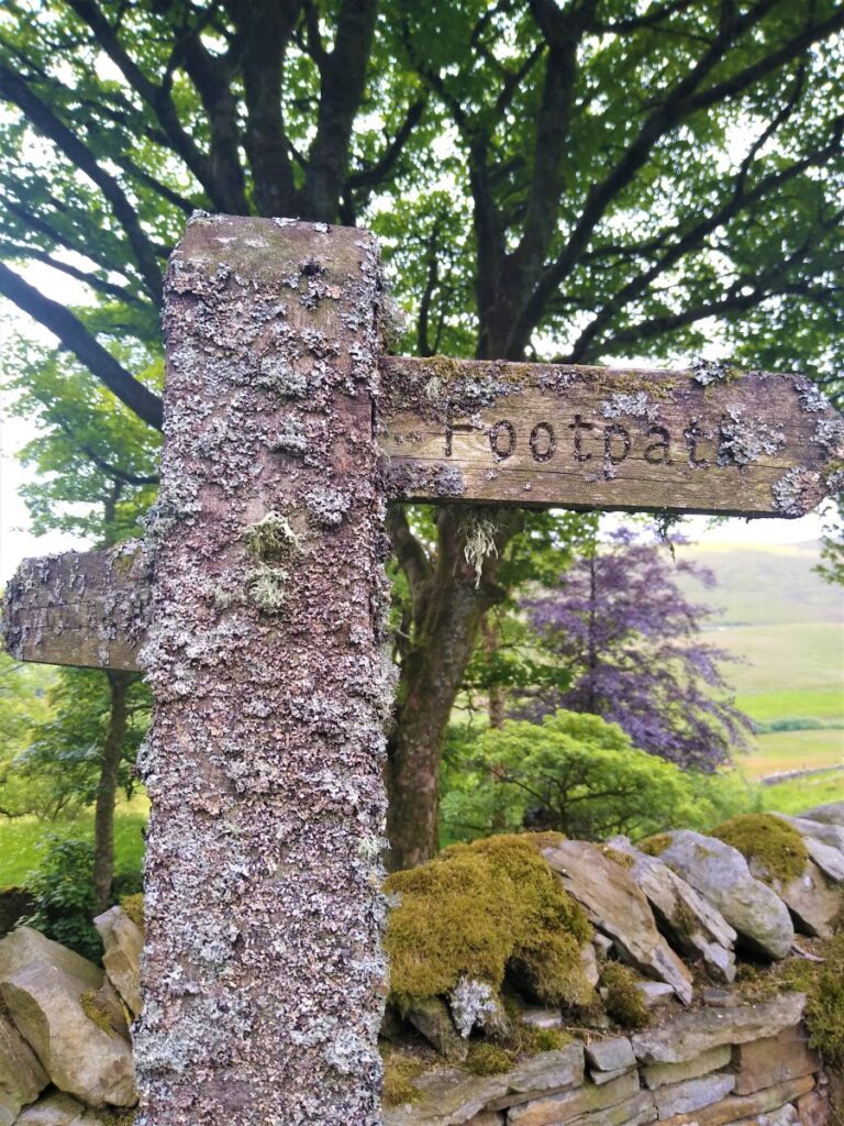
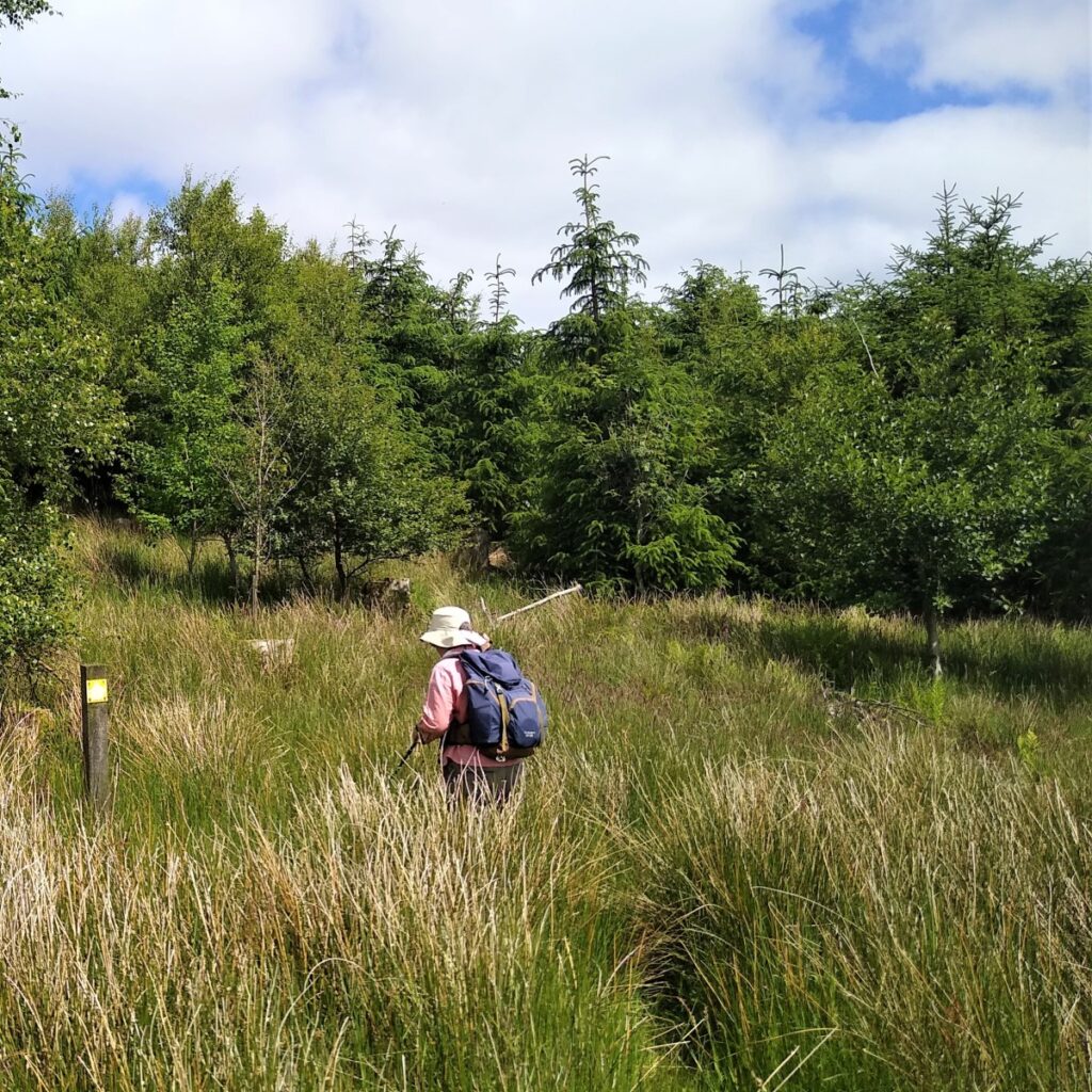
At the road we turn left and walk along the B6259 for a short while. We pass Quarry farm and as the road starts to head uphill, we see a stile and fingerpost on the right directing us across fields toward a plantation where a narrow but clear path takes us through pine trees to a pick up a rough track down to a very pretty eighteenth-century chapel, sitting on a lonely hillside.
As this chapel belongs to the Church of England we should strictly call it a church: Lunds Church.
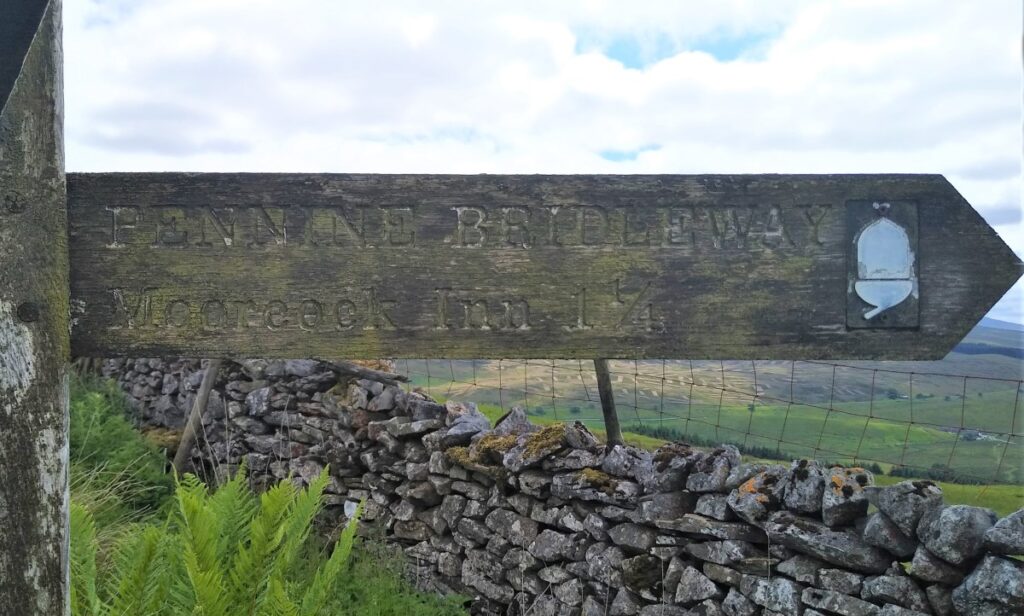
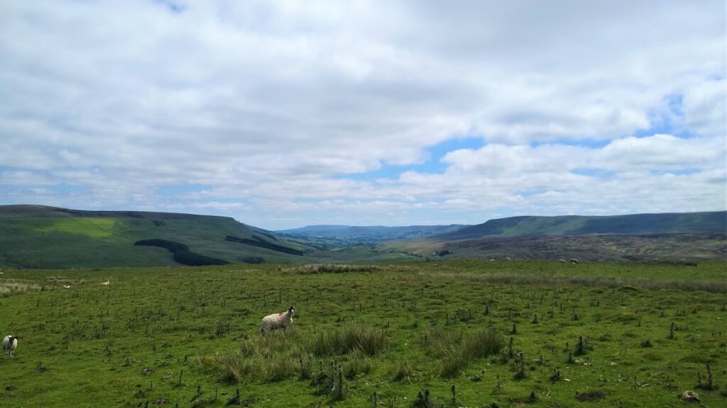
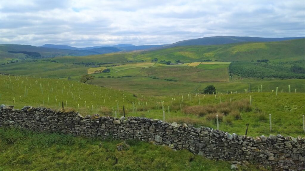
From here our primary route back heads steeply uphill to reconnect with the High Way / Pennine Bridleway at Calf Moss, where we turn right and pass High Dyke before coming back down to Cobbles Plantation. It is worth noting that there is an alternate footpath along the valley bottom which gives an opportunity to shorten this walk and take out some of the steeper slopes.
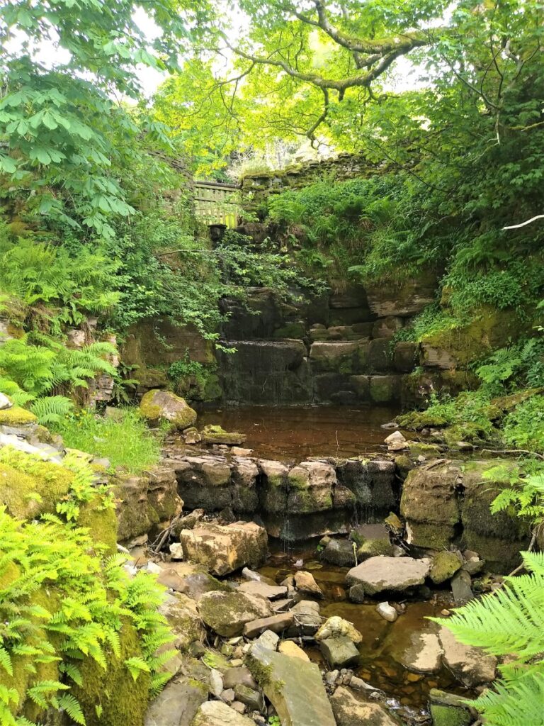
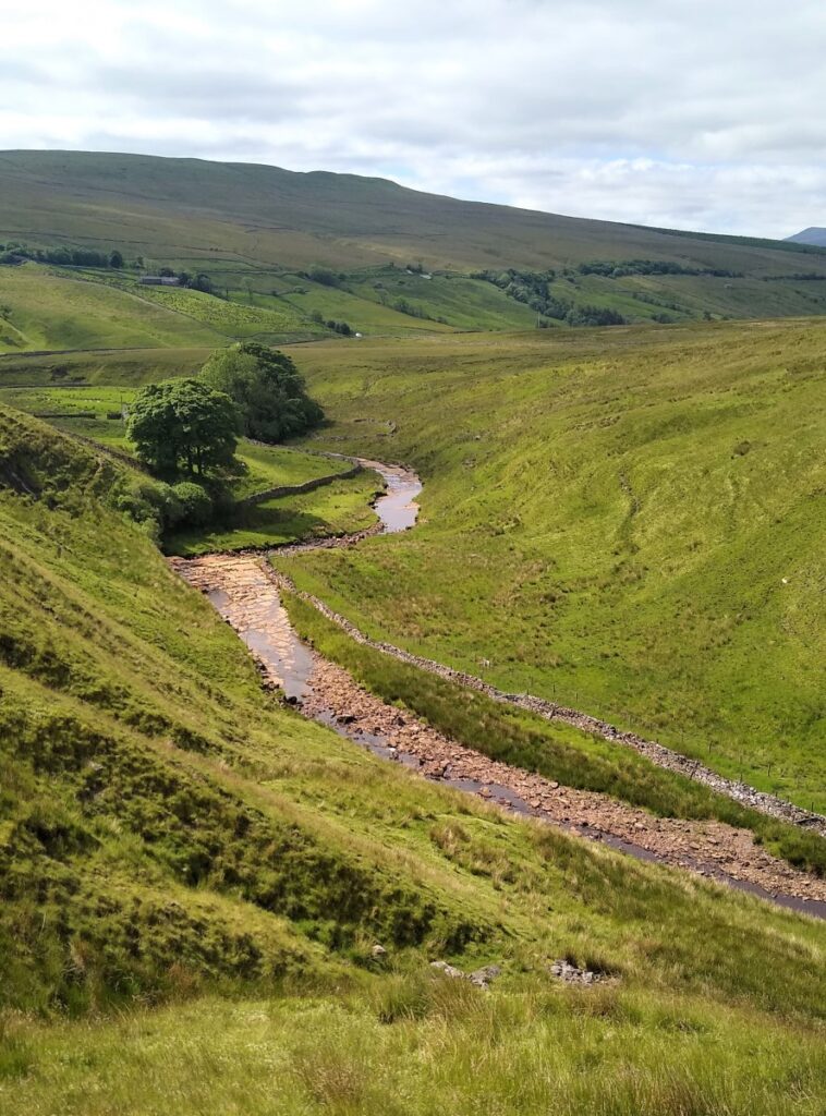
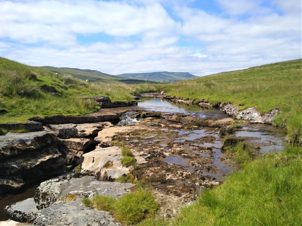
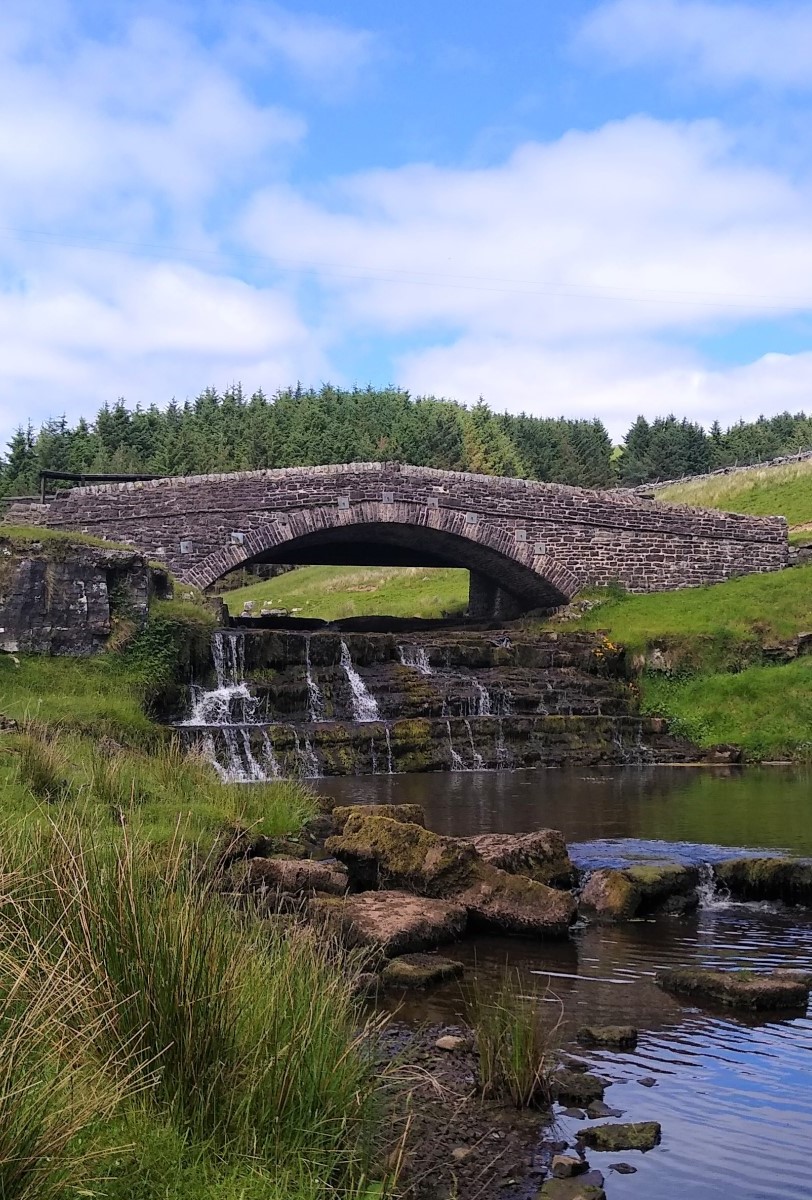
At the bottom of the Cobbles Plantation, we meet the top of the River Ure – the river through Wensleydale – at Ure Force.
The falls are perhaps best viewed from one of the two bridges over the Ure at this point either one of which we take on the next leg of the journey down to the Moorcock Inn.
This pleasant pub surprised us by having great ice cream available as well as a good choice of beers.
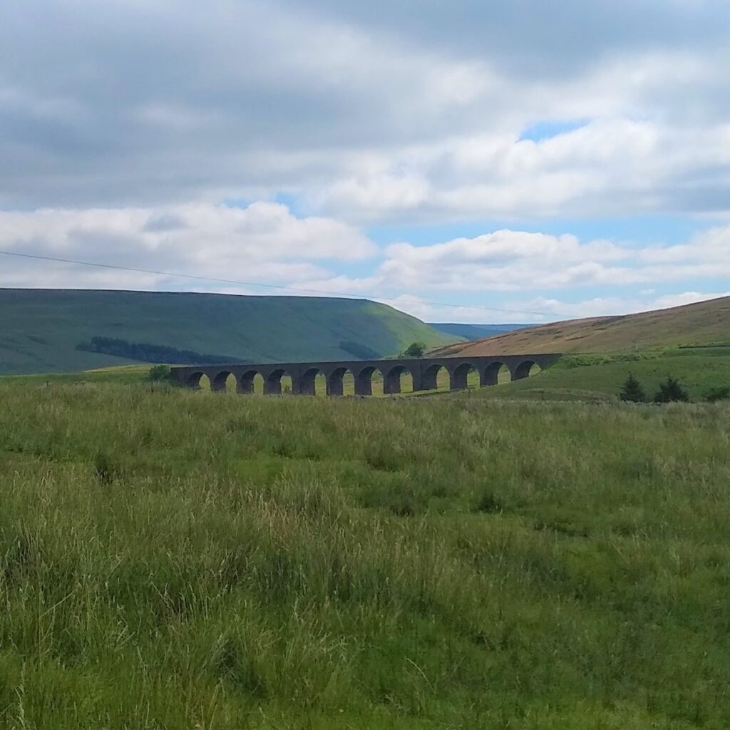
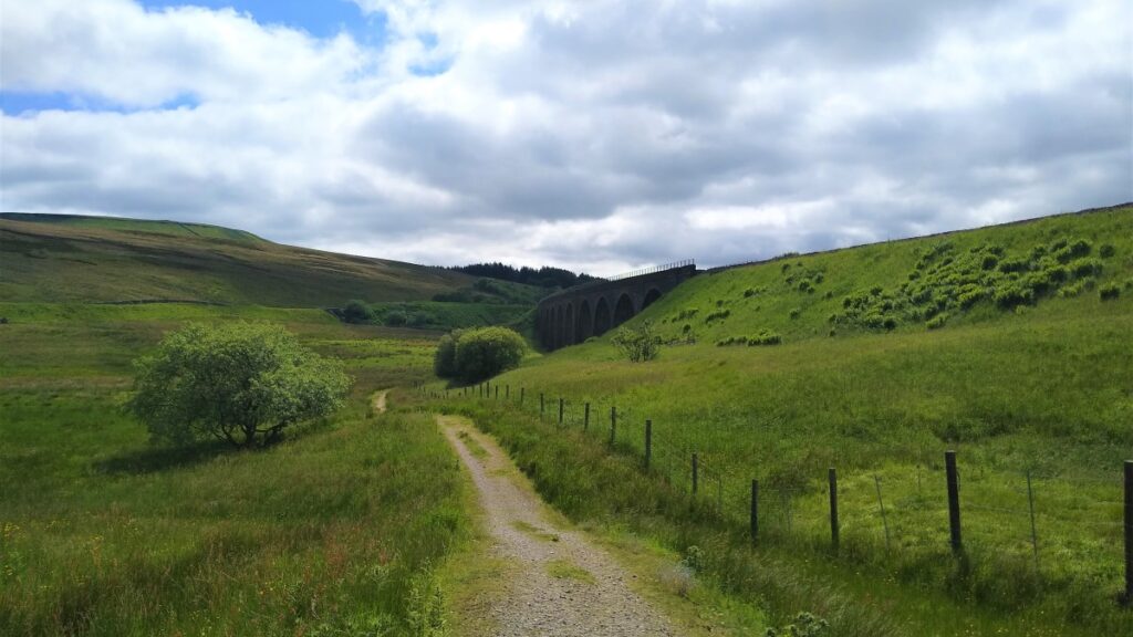
Suitably refreshed, we pick up the bridleway just opposite the pub car park and head toward the Dandry Mire viaduct. This adds a short distance but is safer than walking on the main road.
The bridleway crosses the A684, and then continues below the viaduct for a while, we cross under it at a gate, and rise again to follow the railway line back to the station and the parked cars.
Work started on this part of the Settle to Carlisle line in 1871 and the original plan was to cross Dandry Mire Moss on an embankment rather than a viaduct. In 1873, after two years of work, it was reported that over 250,000 cubic yards of material had been poured into the bog, which had just swallowed it all up, displacing the peat, so much so, that it formed ridges either side of the proposed embankment to a height of nearly 15 feet. The continual wet weather combined with the boggy nature of Dandry Mire, combined to prompt the architects to try a radically different approach.
John Sanders, the main architect for the infrastructure on the Settle to Carlisle line, designed a viaduct, and J S Crossley was appointed as the chief engineer during the build period.
The conversion to a viaduct began in 1873, originally as an 8-arch viaduct, later becoming 12 as the true extent of the bog became apparent. The arches, which are built from coursed sandstone, were complete by May 1875, with the approach embankments finished two months later. The parapet was completed in September of the same year.
During the Second World War, a Luftwaffe bomber dropped bombs near the viaduct; it missed the viaduct by several hundred yards, causing no real damage – although it was apparently aiming for Newcastle, some 70 miles away.
- Total distance 15.3 km (9.5 miles)
- Total Ascent 590 m
- Challenging walk