This circular walk starts from Langcliffe – either in the village itself where there is a good car park, or at the side of the road out to Malham near the Clay Pits Plantation. The published distance is for the roadside start, so add about 1 km and allow for a steep initial climb if you prefer to start from the village.
From the start we head up to Victoria Cave, a well-known landmark above Settle, and then along the base of Attermire scare, passing Horseshoe Cave, before picking up Stockdale Lane and the Pennine Bridleway.
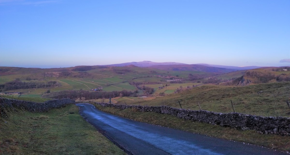
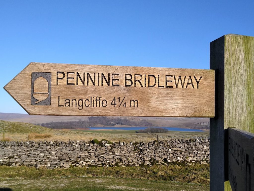
We then climb to the peak at Great Scar before descending, with views of Malham Cove, to take the Pennine Bridleway along the “gentler” side of Langcliffe Scar. The return leg provides views to Pen-y-Ghent and the Ribble Valley before returning us to our starting point
Langcliffe is an attractive village on the B6479 from Settle to Horton-in-Ribblesdale: Look for the sign to Malham just after you reach the edge of the village. Follow the road through the village and find the car park on the left, or carry on out of the village and up the winding single track road toward Malham to find a parking space at the corner of the woods at Clay Pits Plantation.
Sat Nav users should find BD24 9NF gets to within sight of the free village centre car park.
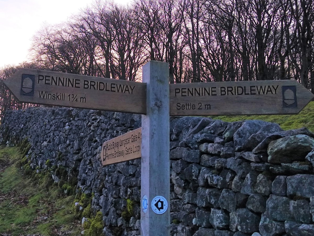
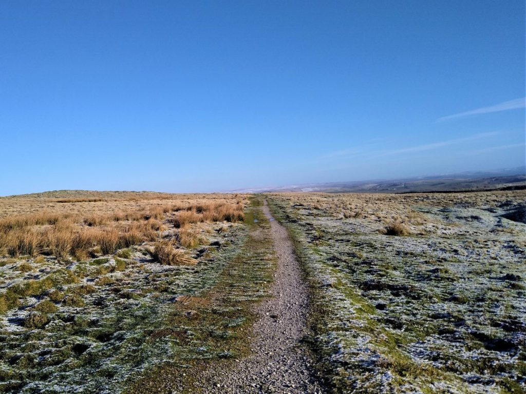
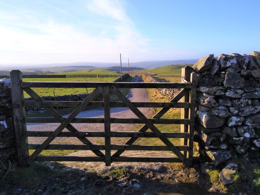
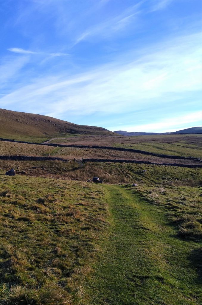
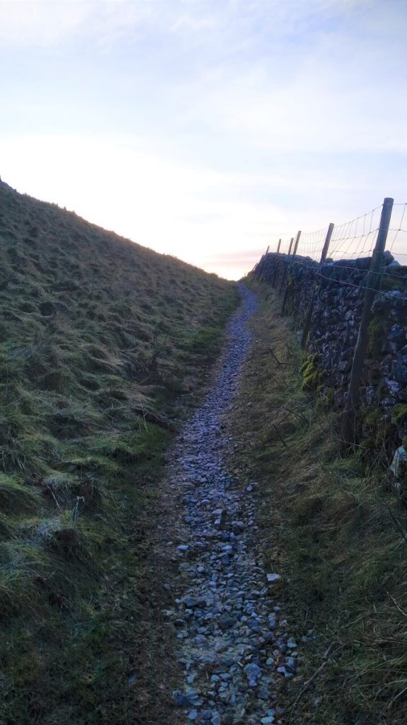
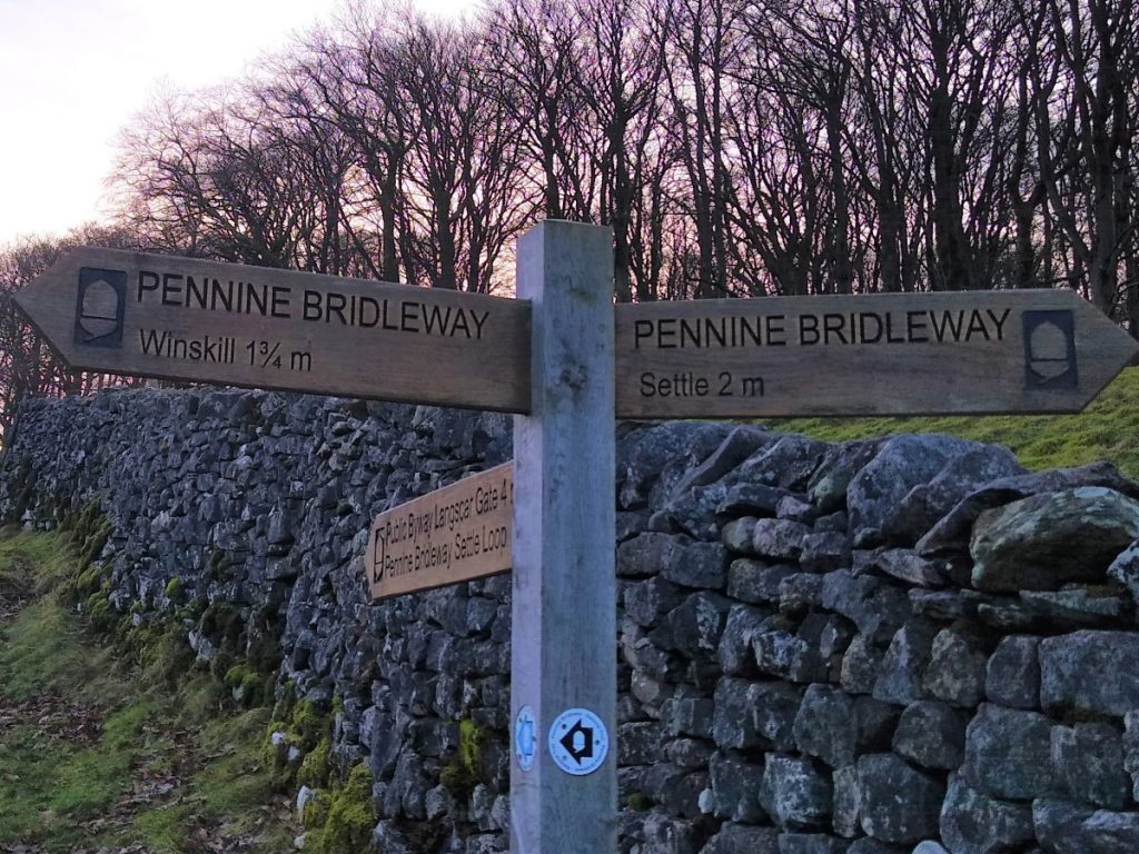
From the sharp left hand corner at Clay Pits Planation, continue up the rough track rather than taking the left turn that the road takes. This is part of the Pennine Bridleway, and we are walking the section referred to as the Settle Loop at this point.
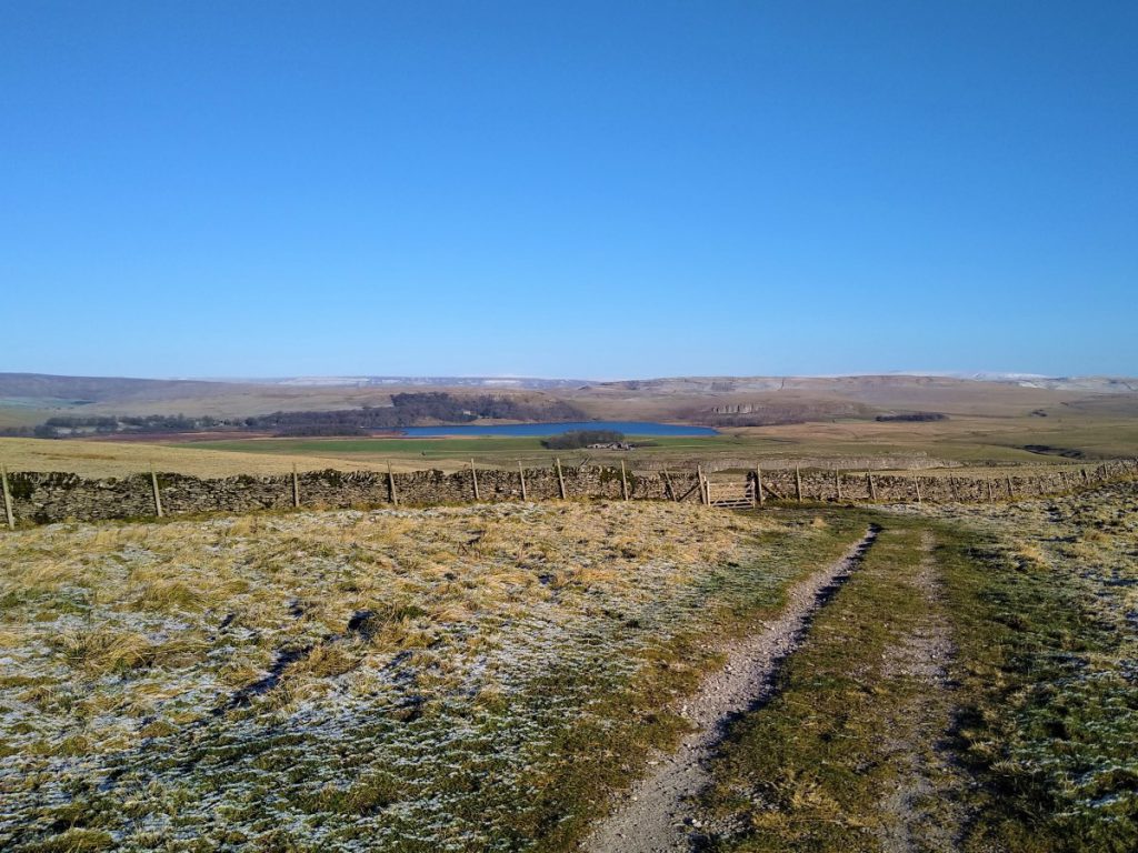
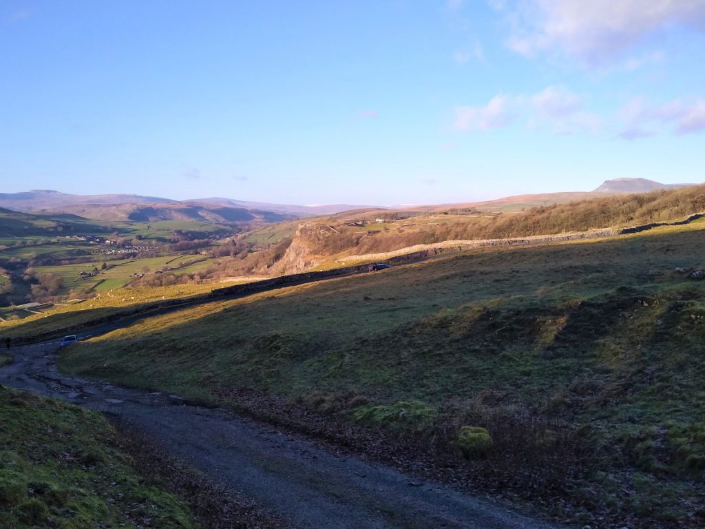
As we walk up this slope, we find a gate that gives us access to open fields with good views over the Ribble Valley toward Stackhouse and Giggleswick Scar, and on a good day as far as Ingleborough.
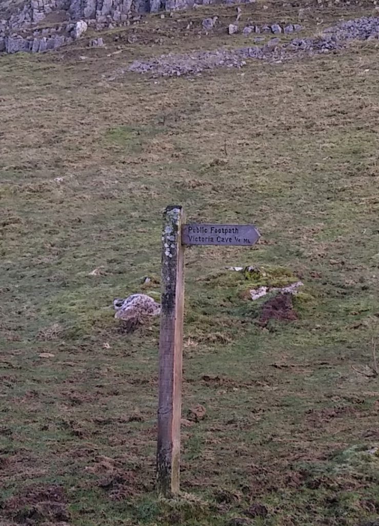
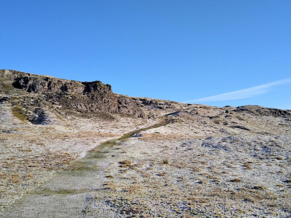
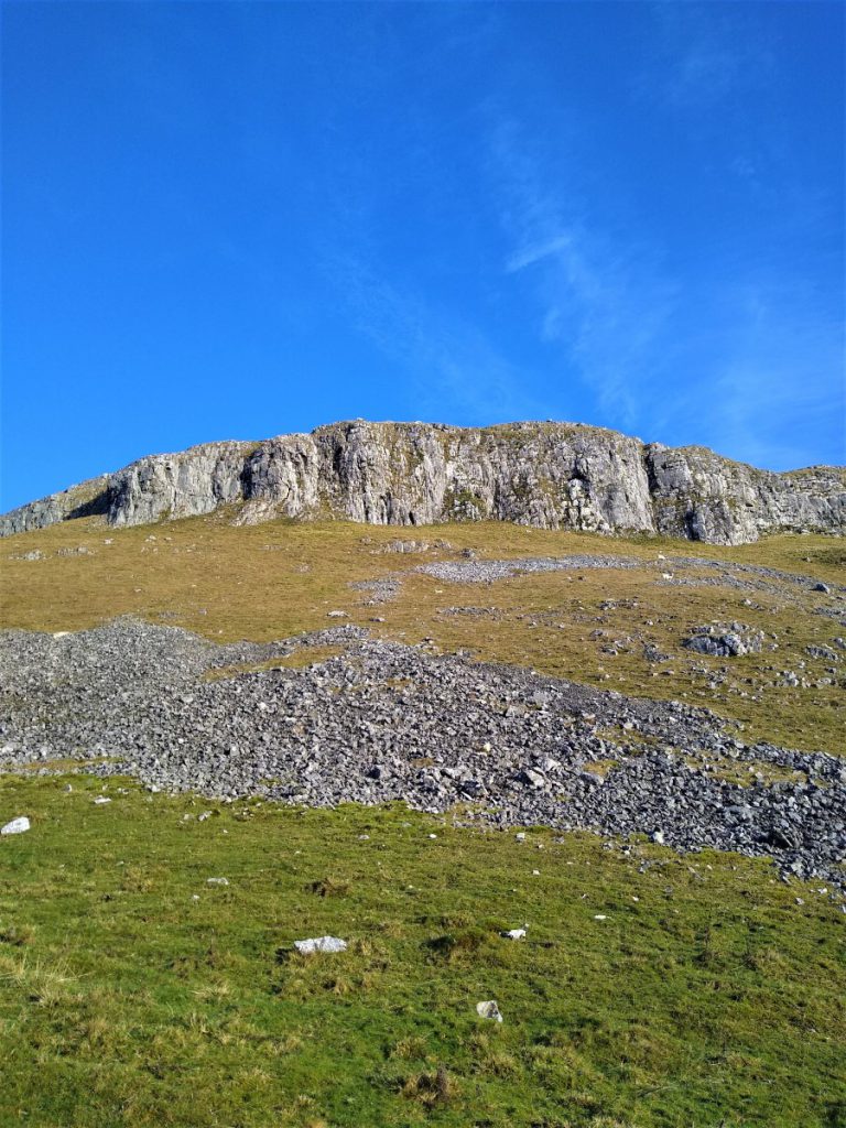
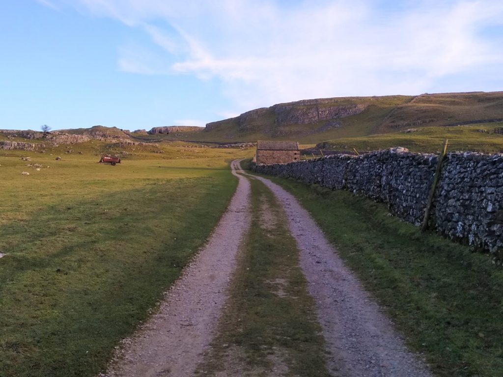
We stay close to the drystone wall on our right and follow the track round and up past a barn until we find a signpost for Victoria Cave, taking us right, through a small gate onto a footpath along the bottom of the scar.
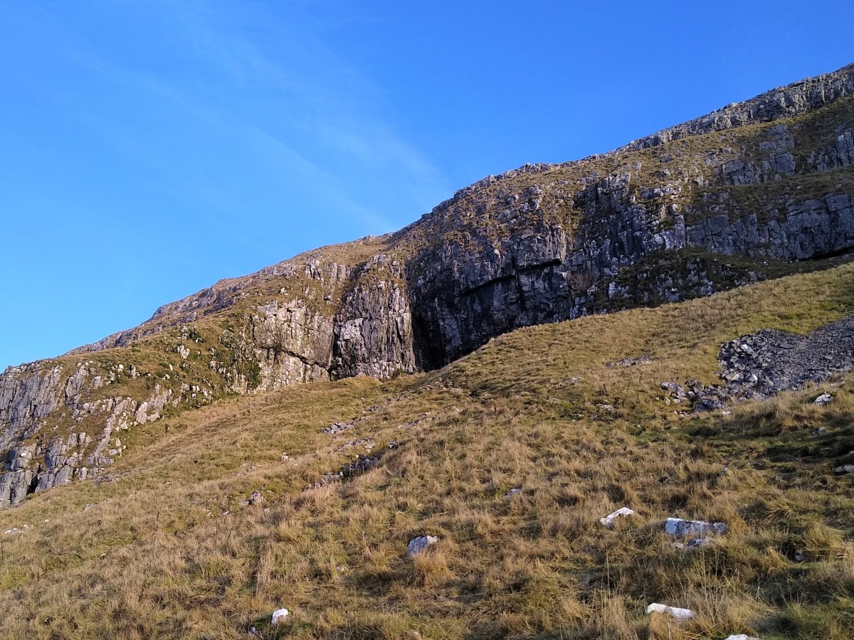
Victoria cave is prominent on the face of the scar, but until 1837, was filled with clay deposited by water running through the limestone. Victorians were keen on the idea of finding bones of exotic ancient creatures, so excavated the caves. Bones were indeed found: The earliest, at 130,000 years old, included those of hippos, narrow-nosed rhino, elephants and spotted hyenas. These date to an interglacial period in the Upper Pleistocene era when the climate was much warmer than today. It is probable that the hyenas were using the cave as a den and dragging scavenged bones back to it. No evidence has ever been found for human activity during this period.
For archaeologists, the Roman layers are equally interesting. Unusual bronze and bone artefacts have been found, including coins and jewellery. The unusual nature of some of the finds has led archaeologists to believe that the cave was being used as more than just a storage place or shelter for craft workers: It may well have been a shrine.
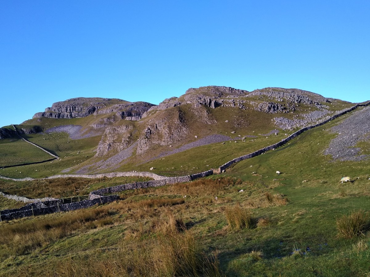
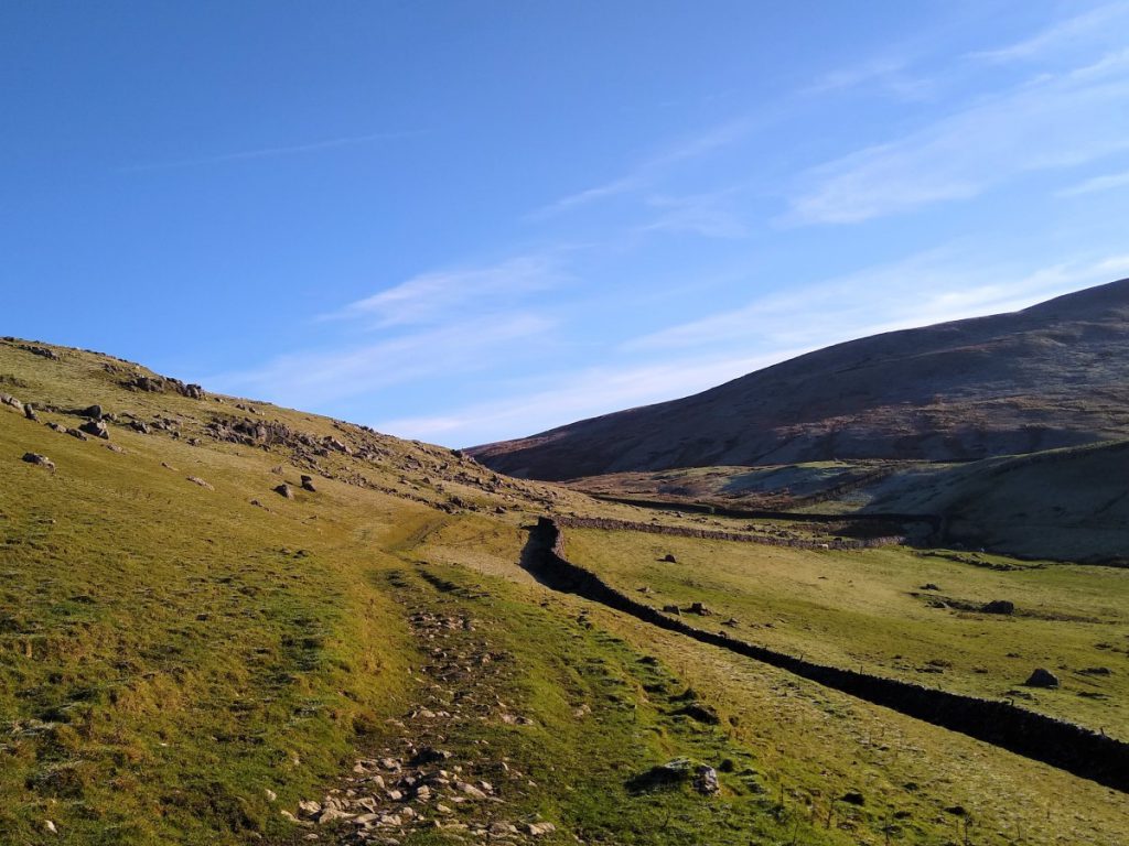
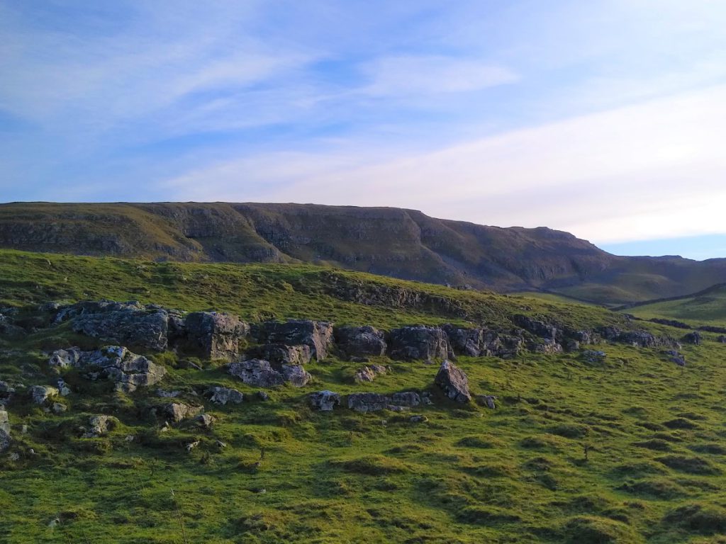
We continue along the base of the scar keeping the dry stone wall on our right, until we reach the corner of the enclosure when the wall diverts right, and we carry straight on. The path is clear, but if in doubt head toward the familiar shape of Pendle hill in the far distance.
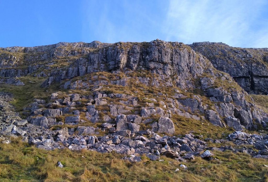
As we round the base of Attermire Scar, we see a signpost for the Dales Highway heading toward Settle on the right. Ignore this, we carry on round the base of the scar. Above us at this point are Attermire Cave – sometimes referred to as “the keyhole in the cliff” – and Horseshoe Cave.
The path now curves round to the left, and we change direction to head East, across fields that can be quiet boggy in wet weather. The views back toward the Warrendale Knotts make the effort worthwhile.
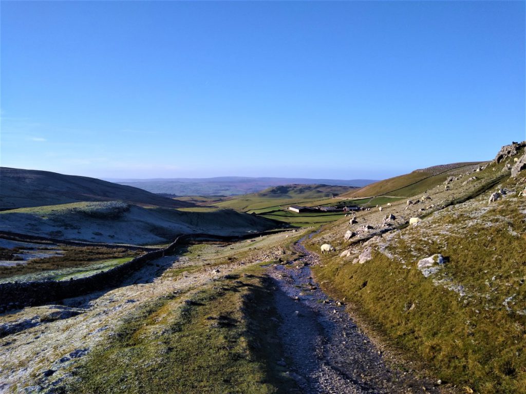
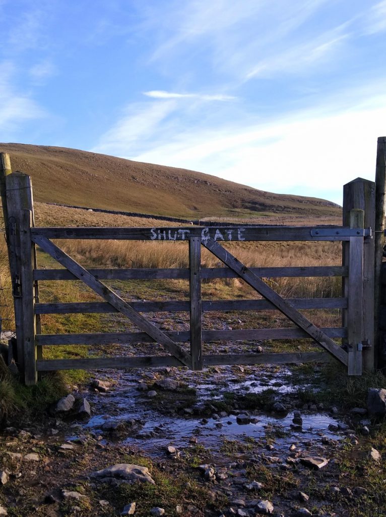
After passing through a number of gates we arrive at the junction with Stockdale Lane and the Pennine Bridleway. We step out onto the road and then head uphill (east) toward Stockdale Farm – possibly the tidiest farm in the Dales.
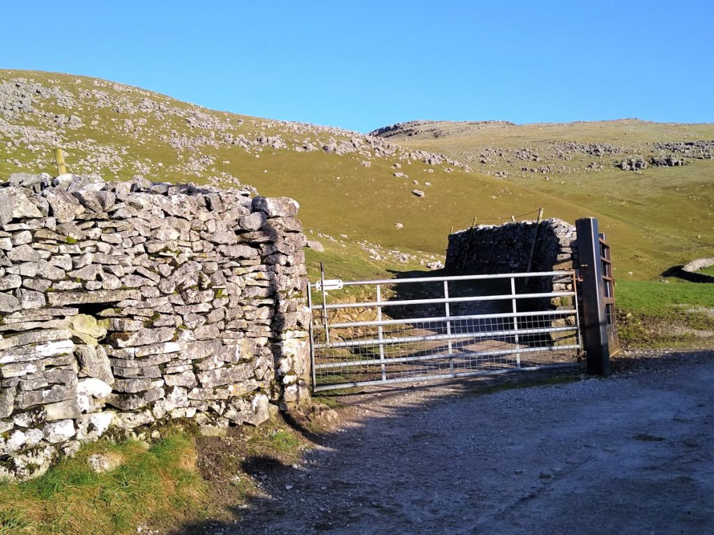
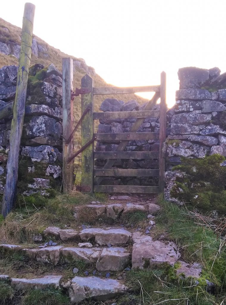
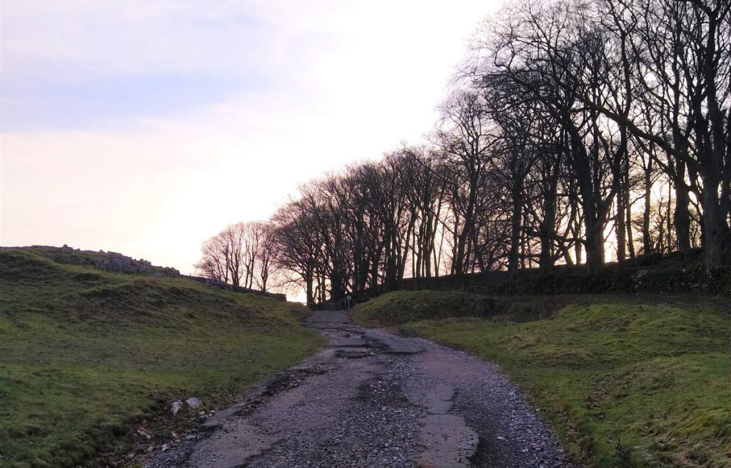
As we near the farm, we see a gate on the left, and the bridleway diverts into fields and woodland, climbing all the time.
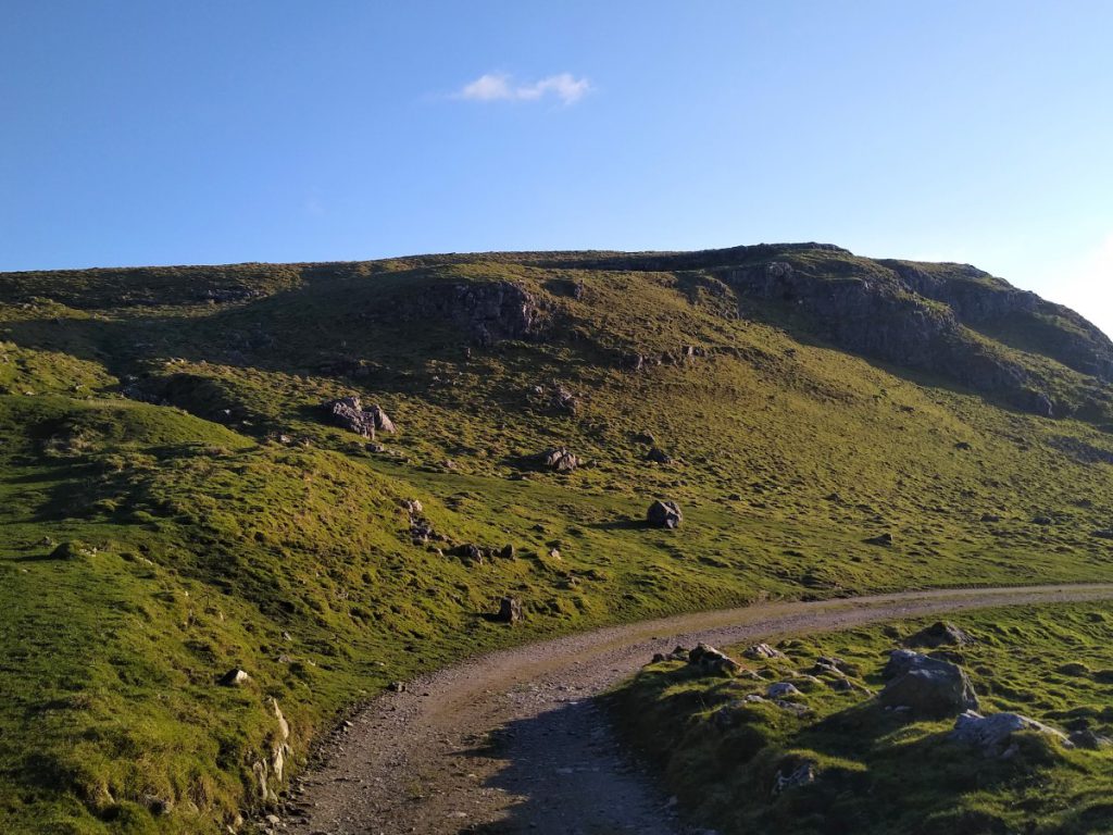
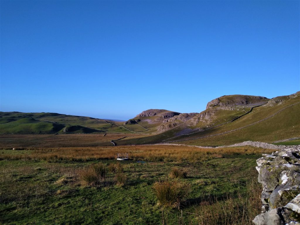
Initially we have a drystone wall on our right, but we soon find ourselves in open land with excellent views ahead to Kirby Fell and back toward Settle.
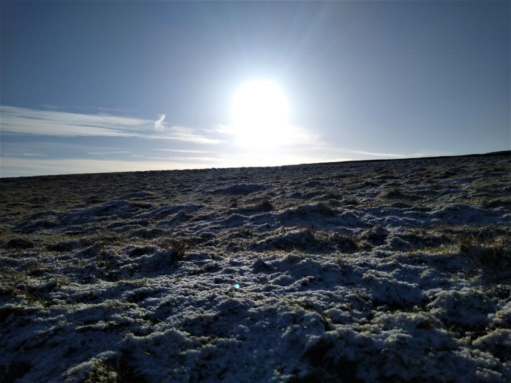
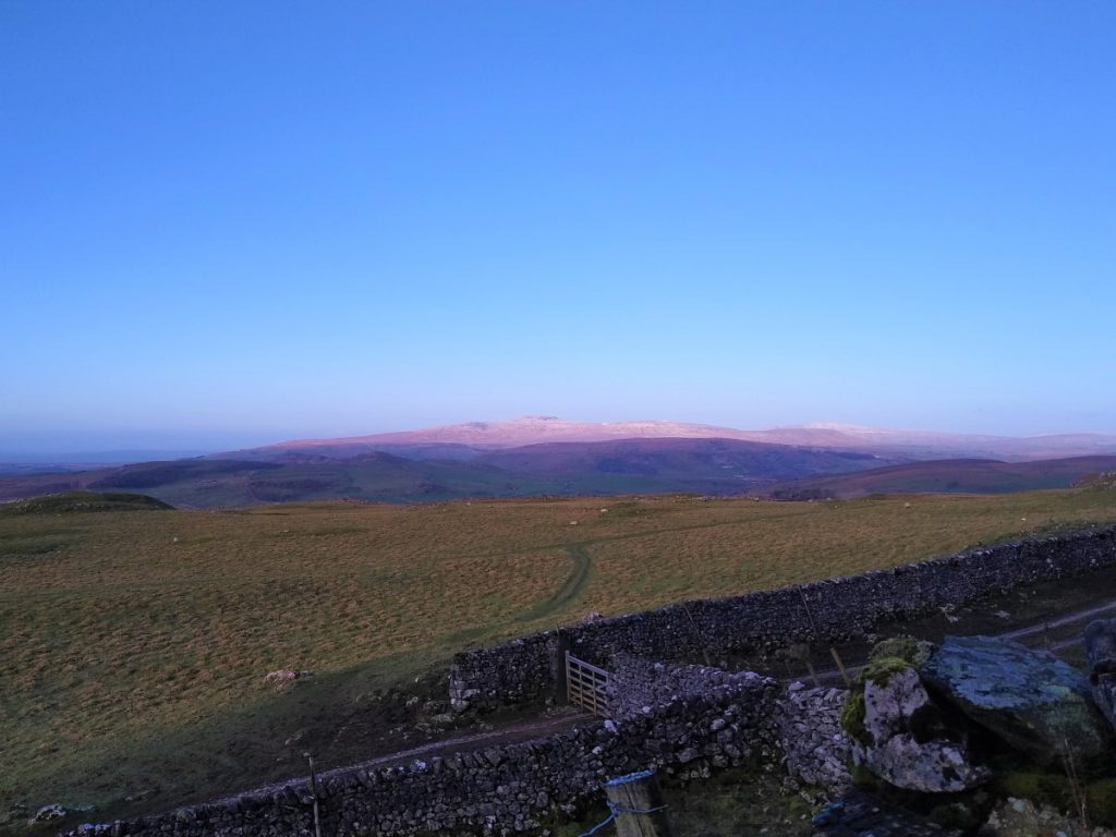
The steep climbing is soon over, and this may be a good opportunity to pause and have a break before revealing the views over to Malham Tarn as we crest the ridge.
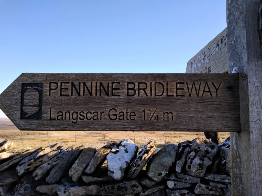
At this point you may notice a fingerpost offering a route to Malham. For this walk we stick with the Pennine Bridleway to Langscar Gate, but the path to Malham is worth exploring another time as it gives a route to the cove that is much less travelled than most.
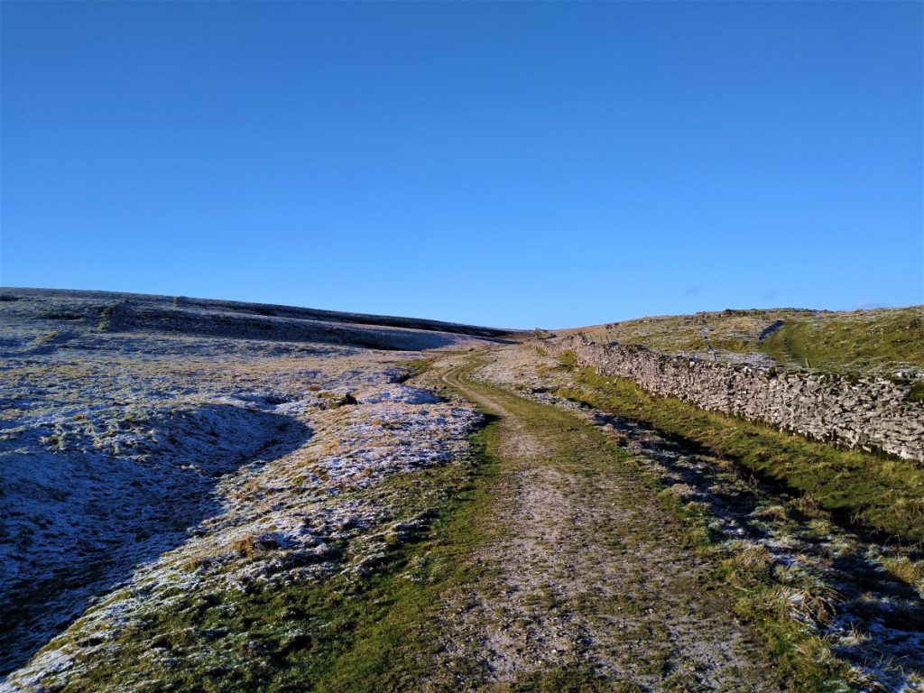
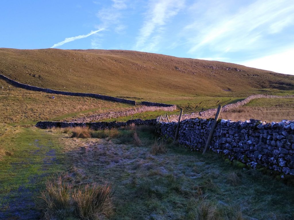
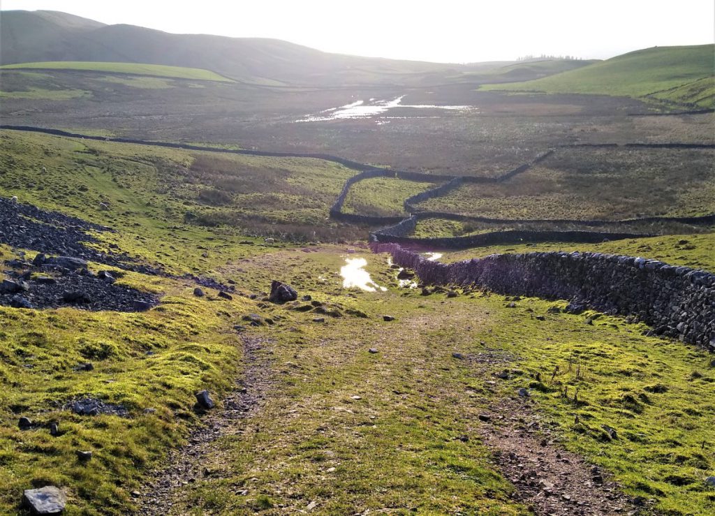
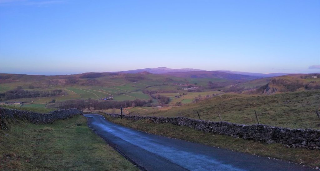
We now walk downhill, still with the Pennine Bridleway until with the Tarn ahead of us, we meet a second lane at a T junction. Right would take us to the Tarn, but we choose left (NW) to take the loop around the back of Langcliffe Scar with the peak of Black Hill directly ahead.
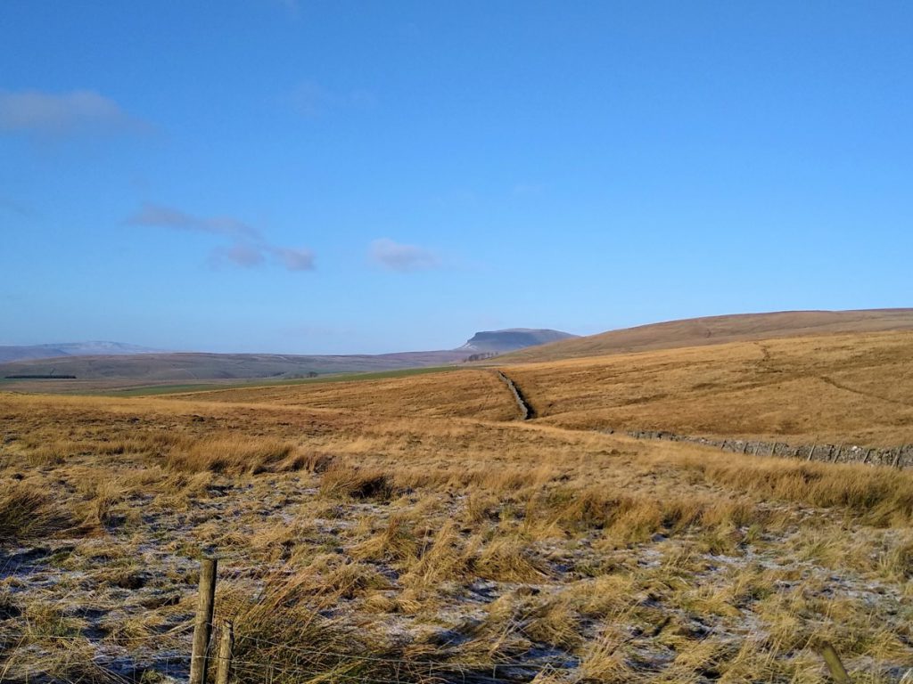
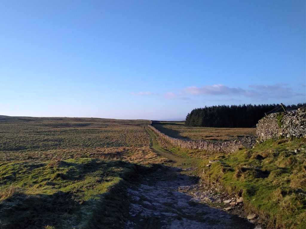
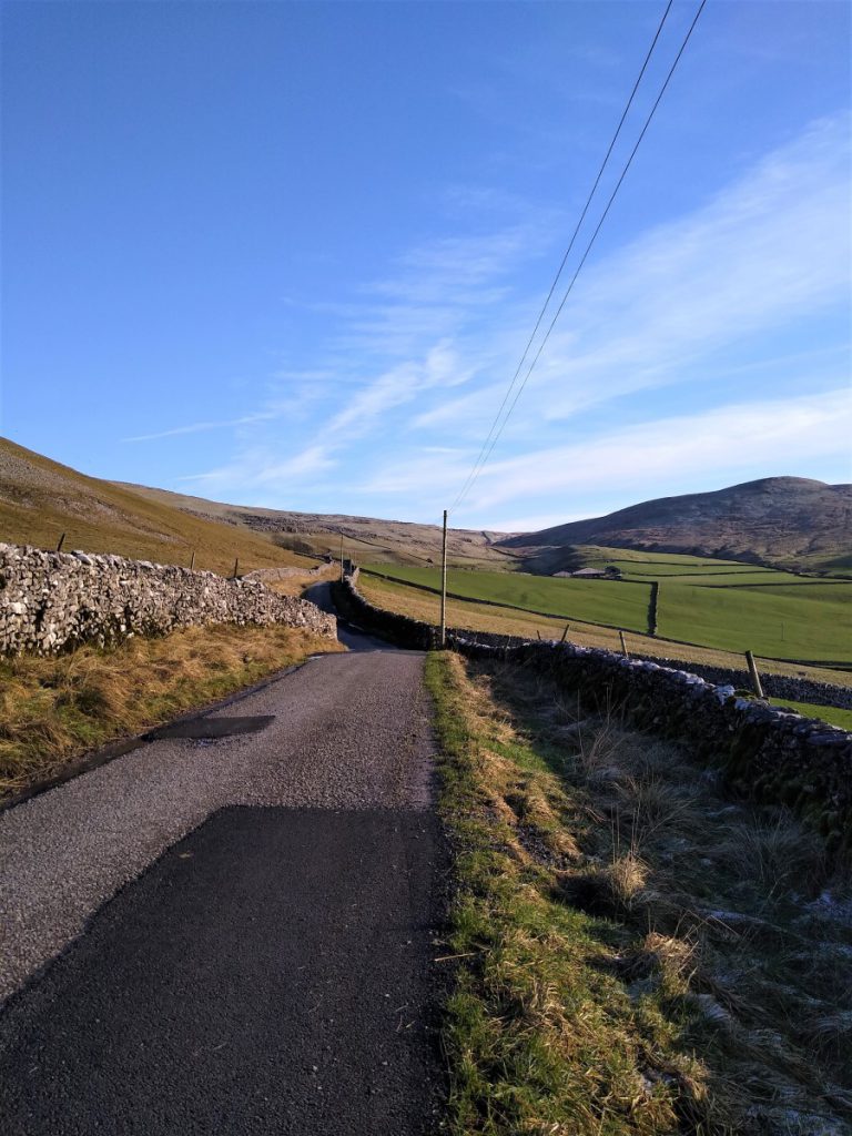
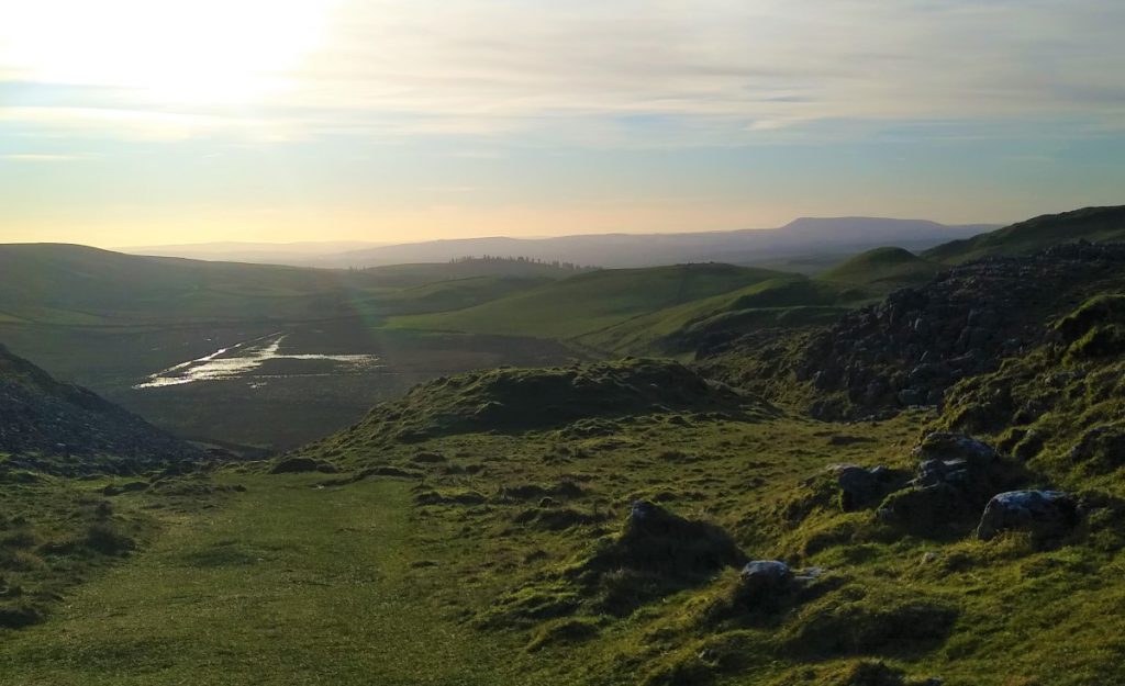
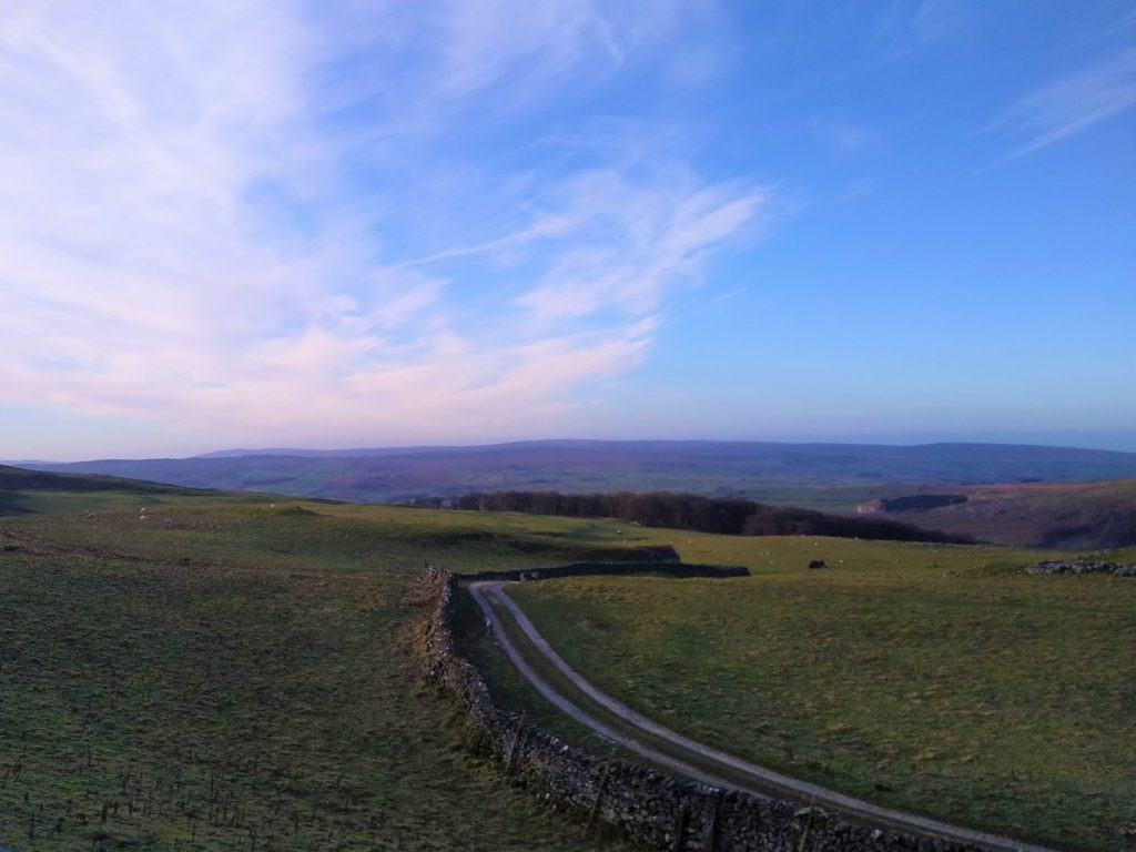
The route is now wide and easy, and generally flat. Initially the views are pleasant enough, but as we circle round, Pen-y-Ghent and then Ingleborough come into view, and on a perfect day all three peaks can be seen.
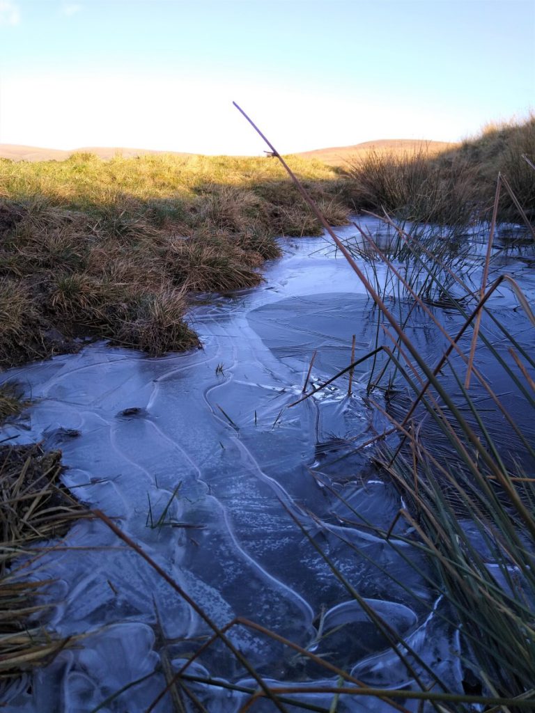
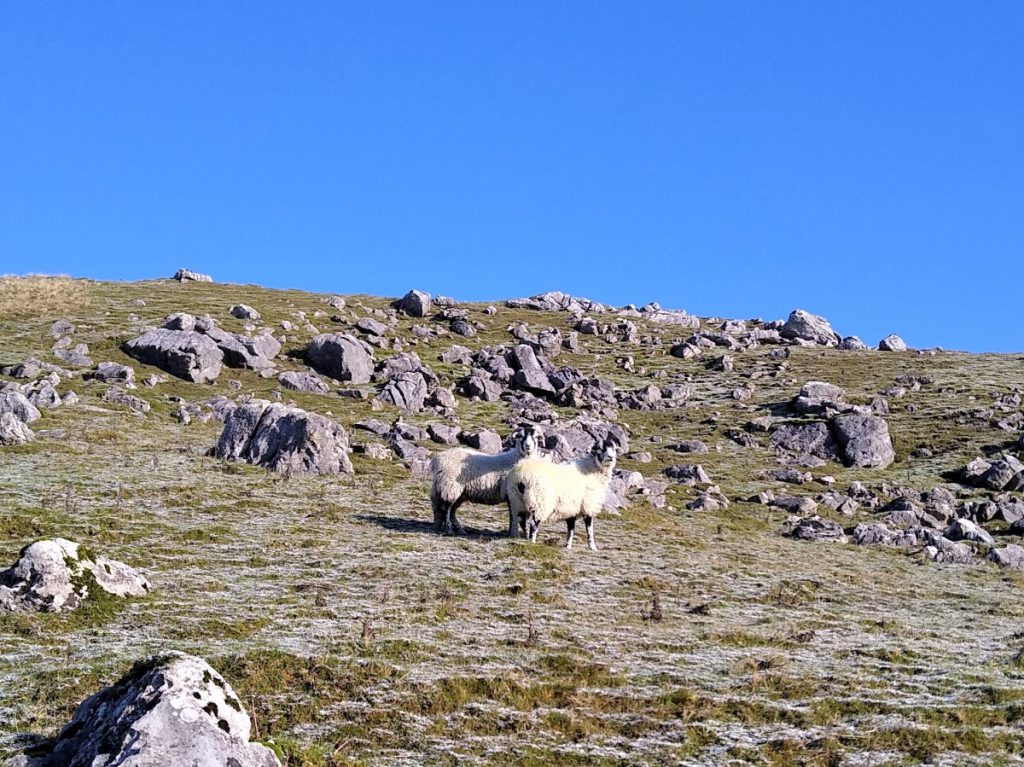
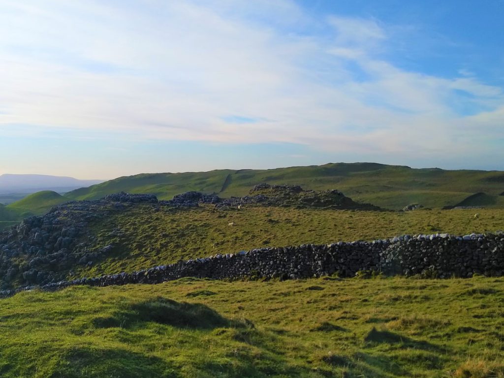
The route remains clear and easy, and navigation will not be an issue, so make sure you take time to look at the landscape around you. Unusually for the Yorkshire Dales some of this area is under National Trust ownership, and so land use is driven more by conservation considerations than might normally be the case – although cattle and sheep do still graze here. Particularly noticeable in spring are the number of ponds that harbour literally millions of tadpoles.
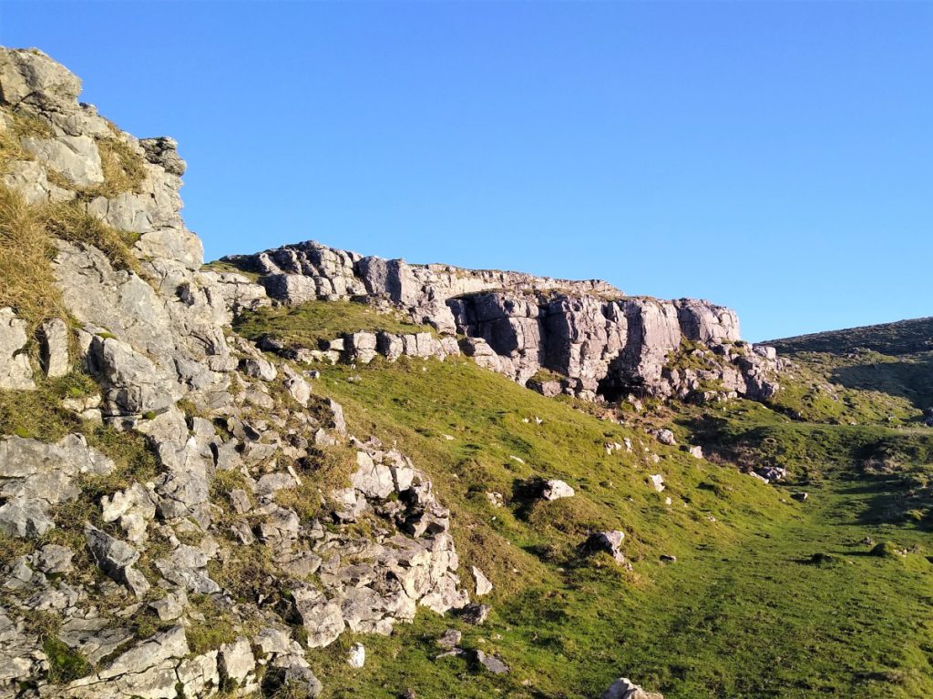
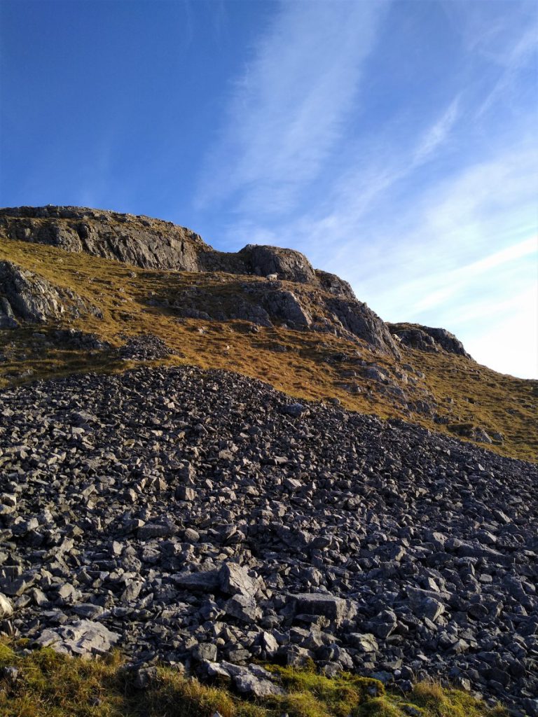
The track continues to curve round, and before too long we are heading due SW, and at this point we find the face of the scar again, and yet another cavern: This time Jubilee Cave.
In addition to Iron Age and Roman material, artefacts of Mesolithic and Late Palaeolithic type have been recovered from Jubilee cave.
Beyond the cave, the track continues back down toward our starting point.
The walk can of course be done either clockwise or anticlockwise. The instructions are for anticlockwise, so we would recommend this for first use, but when you know the route, the clockwise route gives an interesting and surprisingly different perspective.