Jump to . . .Step by Step | OS Map | Downloads | Gallery | Fly through
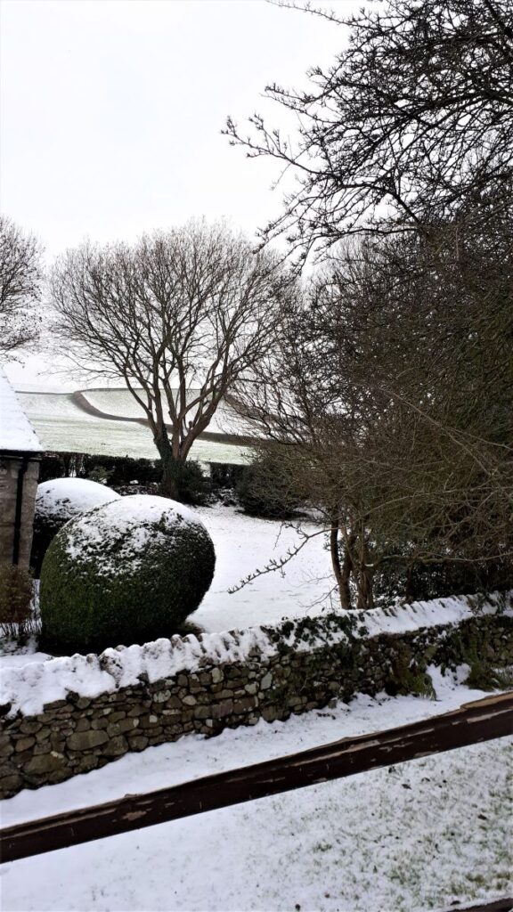
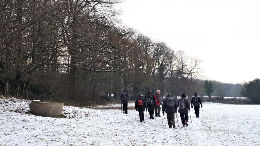
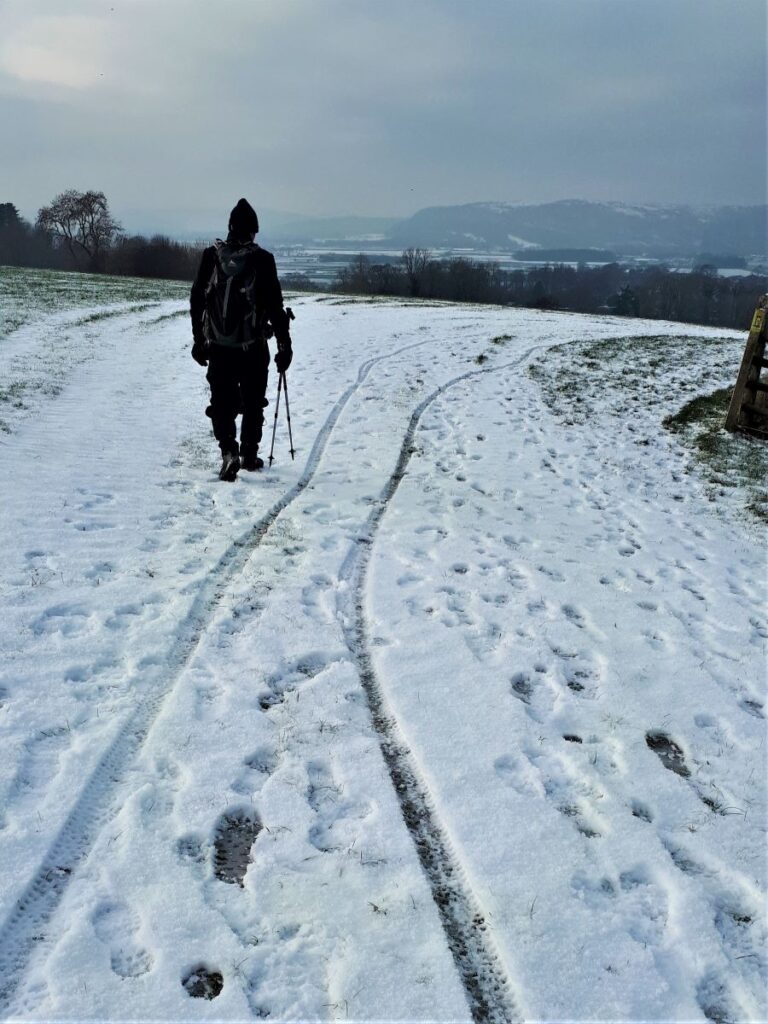
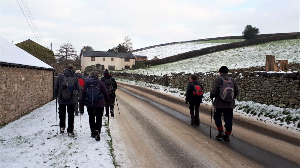
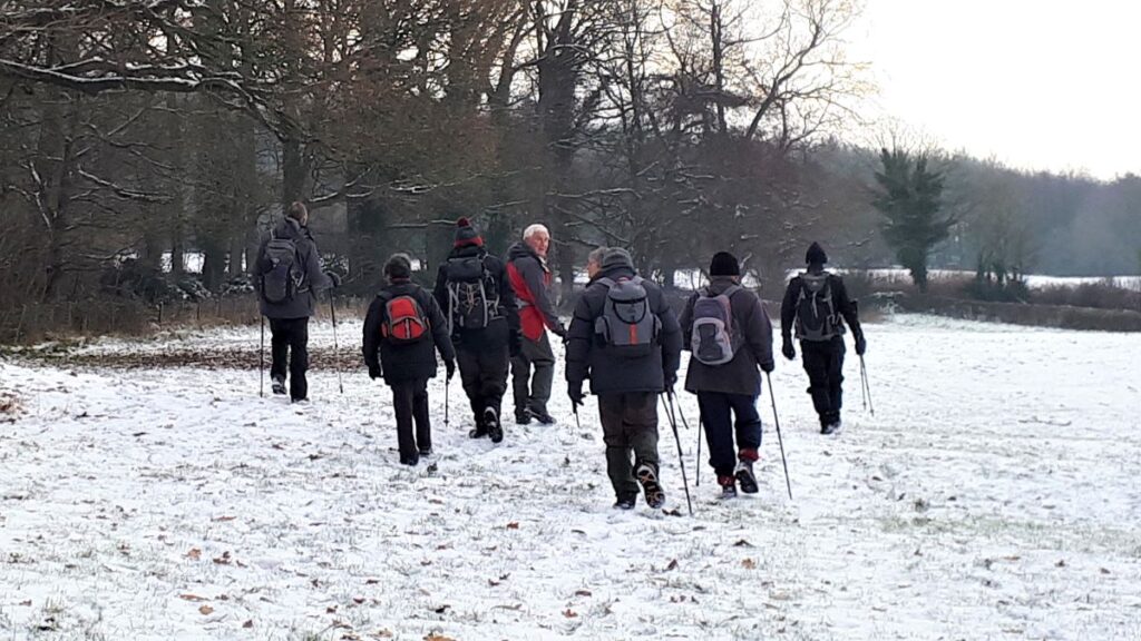
This short and relatively easy walk brings Bentham footpath Group back to the Kent estuary again – and on a good clear day (not the case on the day of the group walk unfortunately) – great views of Farleton Knott, then the Howgills, the Lakeland fells and finally the Kent estuary and the viaduct at Arnside are revealed.
Add a curious folly tower, an old railway line that is slated to be converted to a pathway, a toposcope, and a 12th century church with beautiful grounds, to make this a walk well worth the effort.
The route is essentially a figure of eight, so there is the opportunity to make it two shorter walks, and as part of this route intersects with other BFG walks, there is scope to use it as a basis for longer combined routes.
- Total distance 10.5 km (6.5 miles)
- Total ascent 312 m
- Easy walk
Step-by-Step
The walk starts in Heversham, with on-road parking available near Dallam School on what was once the A6 until the by-pass opened in the 1920s.
Driving from Bentham, take the A65 West as far as the Crooklands roundabout just before the M6. From there it’s a matter of debate as to whether it’s better to cross the M6 and then take the A590 and A6 Southbound, or whether to go right toward Kendal and then take left at the Crooklands Hotel to take the B6385 to Milnthorpe then the A6 North. Take your pick – then Heversham is just off the A6 and well signed from either direction. The map reference you are aiming for is SD49688314. If you use satnav for navigation, then postcode LA7 7EH, and the road name Dugg Hill will help. If What-3-Words is your preferred tool, then the tag is whom.campfires.model
Having parked, head back out along the main road in the direction of Milnthorpe, past the impressive buildings of Dallam School on your left. The school you see was originally Heversham Grammar School. It operated as such for more than 370 years from 1613 until 1984, when it merged with the comprehensive school in Milnthorpe to become the boarding house and 6th form college of Dallam School.
Dallam School in interesting in that it is one of only a handful of State Boarding Schools, which means in effect that the education element is state funded, but the “board and lodgings” elements of usage are chargeable. There was until 2017 also a state Primary School in the village – next to St Peter’s church. This was closed and relocated to Leasgill reportedly because the toilets were built directly over the main water supply to the village.
As you head back toward Milnthorpe you soon find yourself back on the A6 – this is a busy road, but we are on it for no more than 50m before we see a stile and a clear way marker, both on the left, taking us diagonally across a field toward a house where a small kissing gate gives access to a path to the right which takes us up to a small metalled road.
We take the road to the left (away from the A6) and as it climbs it almost immediately crosses a bridge over what was clearly a railway line at one time. This was the Hincaster branch line – opened by the Furness Railway in 1890, before becoming part of the London and North Western Railway.
There was once a station in Heversham and this was passed to the London, Midland and Scottish Railway during the Grouping of 1923, only to be closed in 1942. The line itself was closed in 1966, and the station demolished – photos do exist though; to see one click here
Plans to develop the railbed as a walking route seemed quite advanced at one stage, but little progress has been made since 2013 which is a shame.
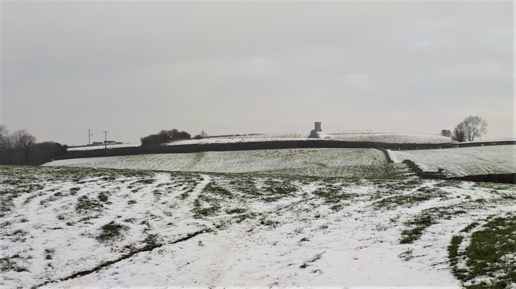
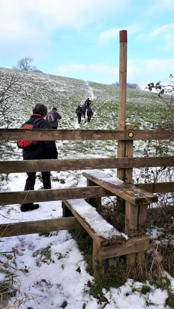
After crossing the bridge, you will see a large house to the left, and a footpath sign taking us up through fields on the right. Once in the field – head uphill and generally Southeast toward St Anthony’s tower, which only comes fully into view as you crest the hill. Then head down to the far corner where a stile gives us access onto a very minor road.
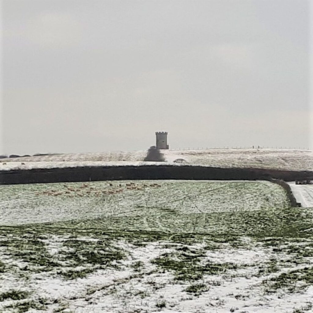
St Anthony’s Tower is a folly said to have been built to commemorate the Reform Bill of 1832. The tower is a prominent local feature, visible from some considerable distance all round and was built by either George Webster or Henry Smithies, depending on which sources you choose to believe. It is Grade II listed, but not open to the public – although the visibly trampled grass leading up to it suggests that this does not stop anybody.
At the road we turn left and follow the lane for a while, ignoring signed footpaths on the left, until we come to an offset crossroads. We take the “straight” route – so we should have an unexplored lane on both our right and left hand side as we carry on.
The lane continues for a while, but we need to be careful not to miss a stile on the left taking us onto a path that crosses the fields as we approach Ackenthwaite. If we do miss that path, or want to avoid the fields – which can be quite boggy – then the lane also goes to Ackenthwaite, but we need to make sure we keep left as we arrive at the village to get back on track.
Assuming we took the path over the field, then we head for a gate between houses as we approach Ackenthwaite – it may feel like we are entering a private drive, but this is the correct route.
We arrive at the road through Ackenthwaite and turn left, and as we do so you may see a sign indicating Workhouse Lane; this once led to a large building that was a workhouse, then a mental institution, and then a storage warehouse. More recently it has been converted into flats and now stands as 5 dwellings within the estate of Owlet Ash.
Ackenthwaite was also the location for Libby’s dairy – a part of the Nestle empire. There is now a small industrial estate on the site.

We now head Northeast along the quiet road which leads out of Ackenthwaite toward Woodhouse. We ignore a path on the left at Cragg Yeat and just a little further on take a signed path up a lane on the right before a bungalow. At the top of here, we cross a stile then bear left behind the bungalow contouring around the side of the hill for a while.
The path is clear and soon heads down to a minor road which we join and turn right to cross over the West Coast Main Line at Rowell. We continue along the lane for a short while passing a cattery on the right before arriving at a farm on the left where the path continues between farm buildings and then round to the left. Here it passes between two livestock sheds and then goes under the railway line to a gate into a somewhat muddy field.
Once in the field, the published right of way shown on the OS map hugs the bottom of the slope next to the railway embankment. In practice, this may be quite wet, so a more secure route may well be to the top of the field. Either way, we are heading to the opposite corner where we find a gate.
Through the gate we look to our left and see another gate – we go through here and head to the top of the field and exit onto a narrow lane where we head right. We follow this round until we arrive at the metalled road where we again turn right and head downhill – back toward the railway.
Almost immediately (and well before we get as far as the railway) we see a road junction with White Lane on our left – we take this and follow it down to a crossroads where we go straight ahead toward Hincaster.
After no more than 100m, the road bears round to the right, and we see a small lane carrying on uphill ahead. Our route for now is to the right on the larger road (Harry Brow), but it is worth noting that this is the pinch point of our figure of eight loops so if a shortcut is required, be aware that the lane ahead is part of our return journey – a quick glance at the OS map should help.
We continue into Hincaster on Harry Brow – take care as there is no pavement – until we see a signposted path between houses on the left. This takes us up Pump Lane to a gate where two routes are available. We take the path on the right heading uphill. The path on the left heads over to Mabbin Hall – which is on our route, so this is a further shortcut opportunity.
We head steeply uphill, and then as we reach the crest, we see a gate in the far corner of the field. This takes us onto a short lane which approaches Hincaster Hall – a location we have met before on the BFG Levens and Sedgewick walk.
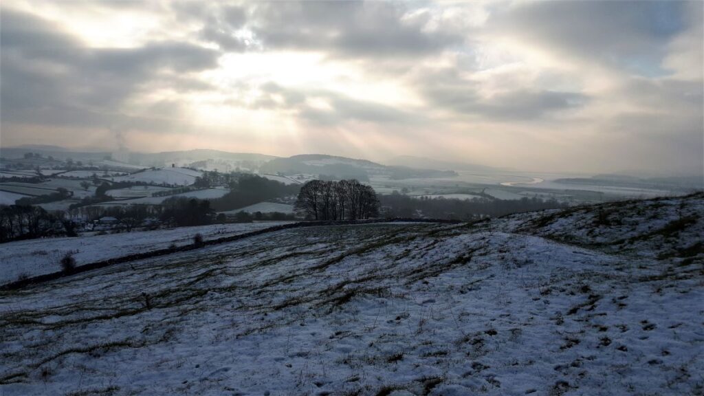
As we arrive at the lane behind the hall, we head left and almost immediately see a gate accessing a track that leads up around the hill toward High Barns. We follow this, and as we rise, we start (weather permitting) to gain excellent views over toward Kendal and the Howgills. Given the view, and the fact that we are now at the furthest point of the walk, this may be a good place to take a break.
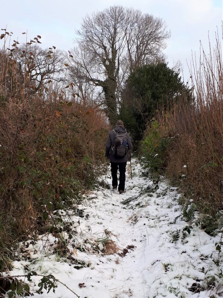
We continue along the lane and follow it down to a gate behind the farm. The path continues just to the left of the large barn, and we head downhill hugging the field boundary until we arrive at a stile in the bottom right hand corner. Over the stile, we head sharp left along a clear lane and enter open fields just below some woodland. There are a number of stiles entering the woodland, but we ignore all of these and follow the path along the bottom of the treeline, until we find a stile out onto a lane where we head left.

We follow the lane for a while now – ignoring tempting footpaths on both sides – until we arrive at a minor road and Mabbin Hall – the last footpath sign you passed on your left is the alternate path from Hincaster.
At Mabbin Hall, we turn left and head downhill with the dense woodland of Heversham Plantation on our right. We are now back at the pinch point of our figure of eight, so if the shortcut prior to Hincaster was taken – welcome back.
We are now looking for a lane on the right as we head downhill. We don’t take that lane though – the waymarked footpath is just a few metres beyond it and runs below to come up to a stile where we enter the open land of Heversham Head.
We now head uphill keeping within about 50m of the drystone wall that borders the plantation, until we see a metal gate. Beyond this we continue climbing, passing the trig point (123m) on our right, and then as a huge view of the estuary and the Lakeland fells opens up, we find the toposcope and a convenient bench, where we may well pause for a while.
From here we head downhill – steep and potentially slippery – toward Heversham village – using the church as a landmark. We find a kissing gate, which may well be the most ineptly installed gate known to civilisation, and having traversed that, follow the same line down to the far right hand corner of the field where we enter some woodland.
There is a clear but muddy track which heads downhill through the woods and emerges onto a small, metalled lane. We take a left turn at the lane and head uphill toward a building that appears to be a dead end – if fact there is a squeeze stile on the right just before the entrance gate, and we take this to head downhill to the church of St Peter’s.
The oldest parts of the present church dates from the 12th century. Additions and alterations were made during the 14th, 15th and 16th centuries, and major rebuilding took place following a fire in 1601. Further restoration was undertaken in 1868 by the Lancaster architects Paley and Austin, who also added the tower, and seem to have been involved in design and construction of almost every significant building in the area.
We exit the church grounds onto the main road and head left back to the start.
- Total distance 10.5 km (6.5 miles)
- Total ascent 312 m
- Easy walk