Jump to . . .Step by Step | OS Map | Downloads | Gallery | Fly through
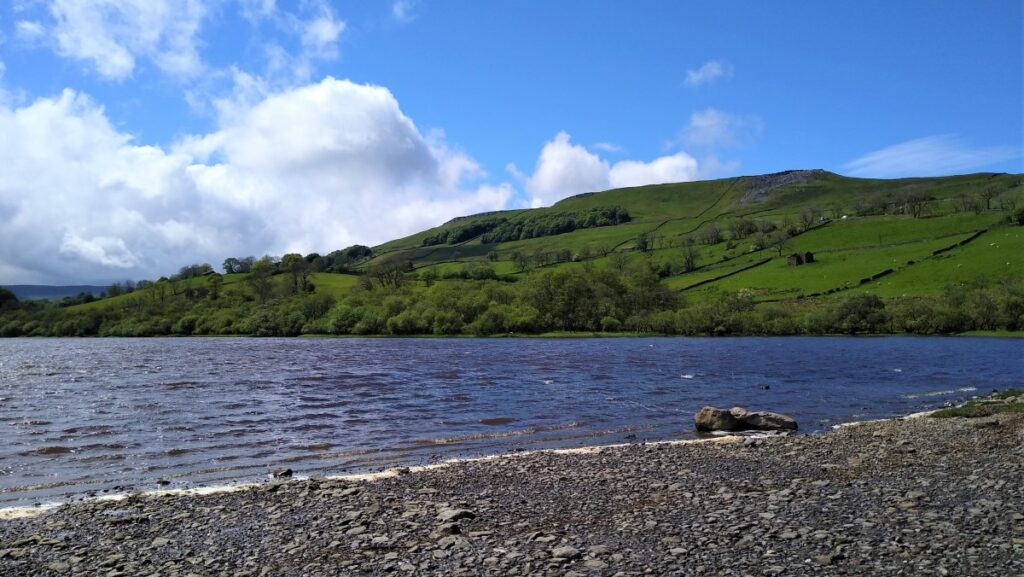
It is often assumed that the limestone geology of the Yorkshire Dales means that it is lake-free. This is not quite so – Semerwater and Malham Tarn are the obvious exceptions.
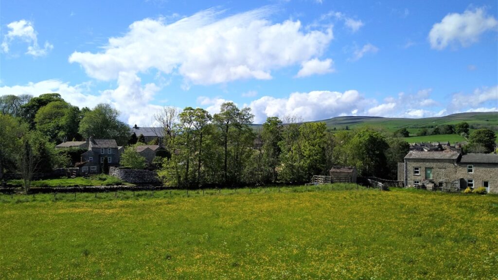
Our walk starts from Bainbridge and initially follows a Roman road known as the Cam High Road up Wensleydale until we overlook Burtersett. We then cross the ridge into Raydale, and head down to Marsett where we cross the river, walk through a nature reserve and over toward the atmospheric old church at Stalling Busk.
From there we track round Semerwater – again in a nature reserve – to visit the lake shore at Turner’s seat. The final part of the walk sees us follow the river Bain back to Bainbridge, with good views over the site of the Roman fort of Virosidum.
Although quite long, and steep in places, this walk offers great views, and an opportunity to explore some of the quieter parts of the Yorkshire Dales.
- Total distance 15.8 km (9.8 miles)
- Total Ascent 492 m
- Challenging walk
Step-by-Step
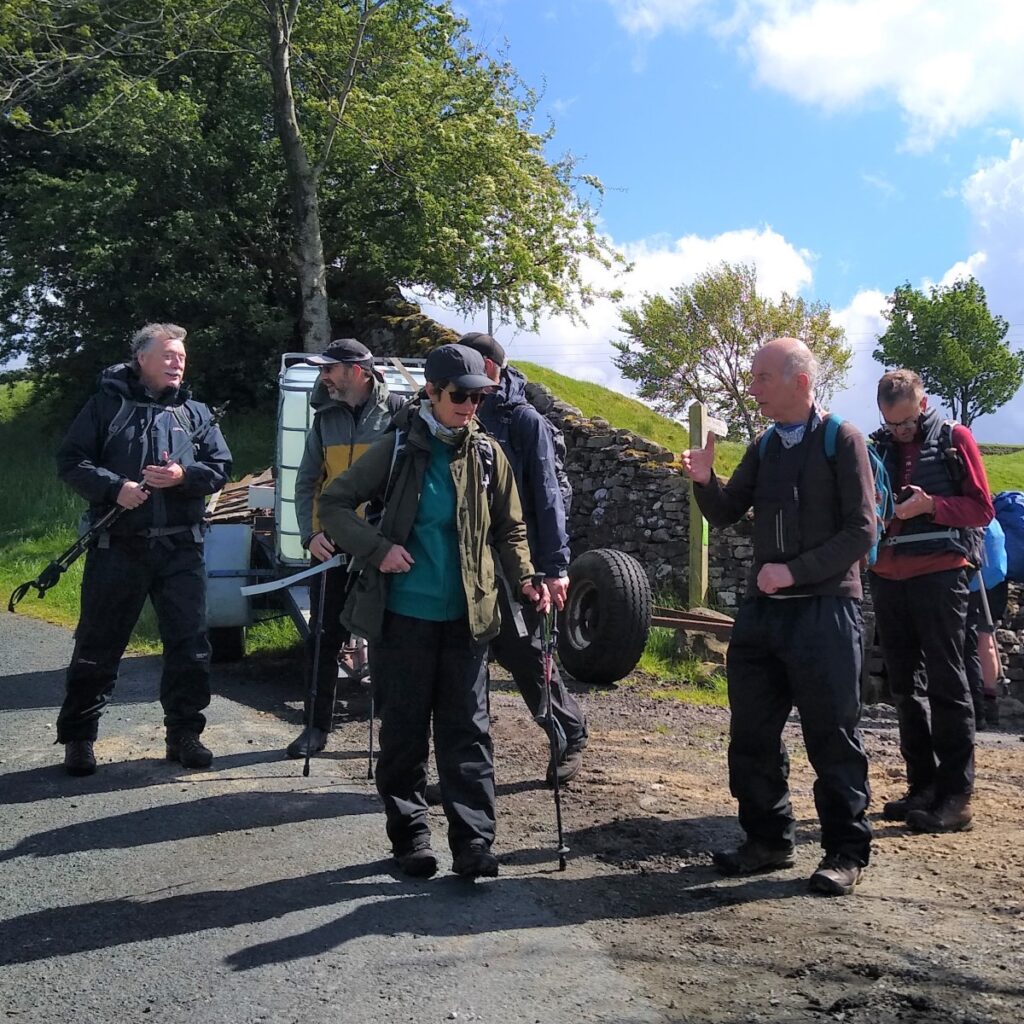
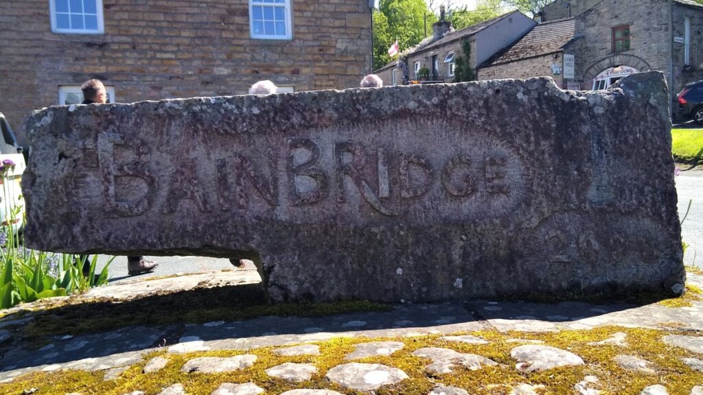
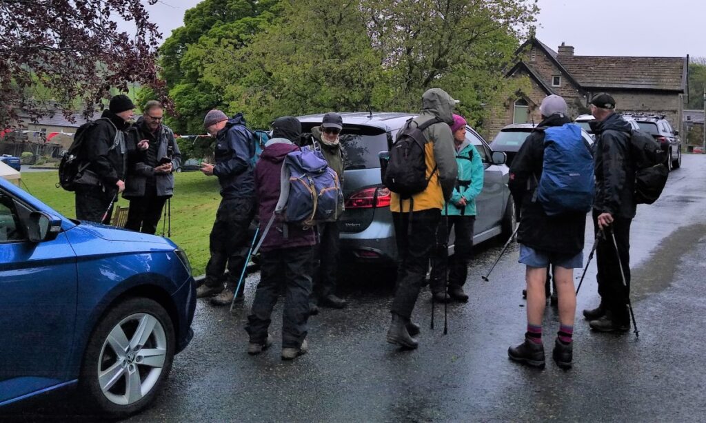
We start in Bainbridge – roadside parking is available next to the green, with honesty boxes for donations.
Sat Nav users will find that postcode DL8 3GA gets then to the green, whilst What-3-Words tag cello.leader.wimp or grid reference SD93419015 add some precision.

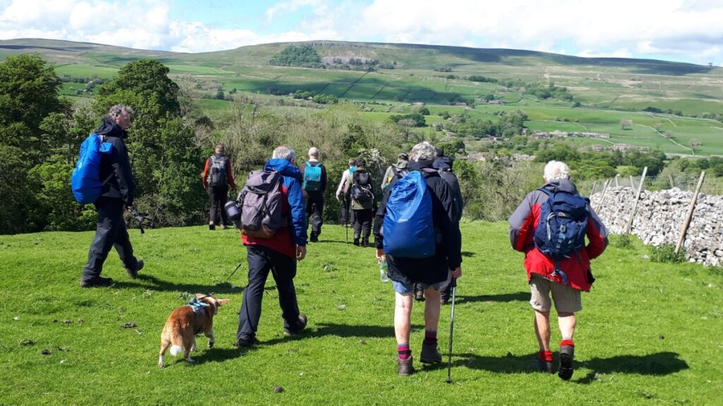
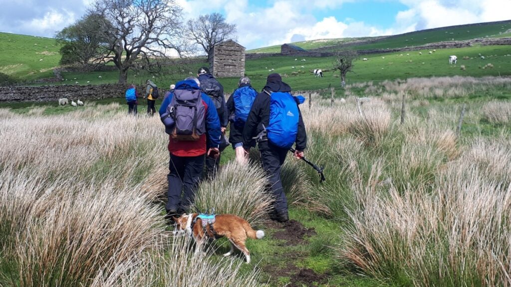
From the parking, we head up the hill and follow signs for the Yorkshire Dales National Park offices – where we turn right into Scott Hill, and walk through the car park to find a stile leading onto flat fields. We are heading West and tracking the A684 in the bottom of the valley.
We are not at this point on the Roman Road – and this is by choice, because the first part of the Cam High Road is now a minor road and although quiet, we prefer to take the opportunity to make this part of the walk entirely traffic free. If you want to follow as much of the Roman route as possible, then instead of heading into the National Park office at Scott Hill carry straight on. This takes you along the Cam High Road, until you catch up with the us at the “Beggarmans Road” sign.
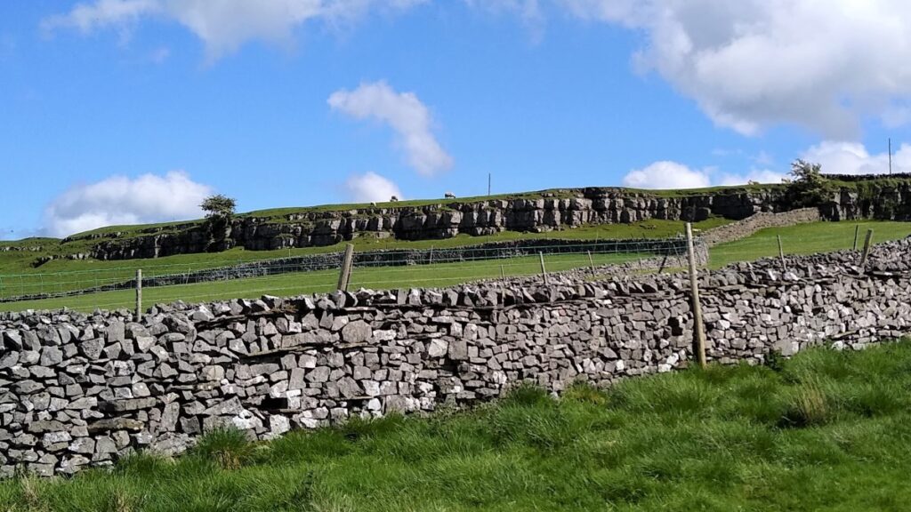
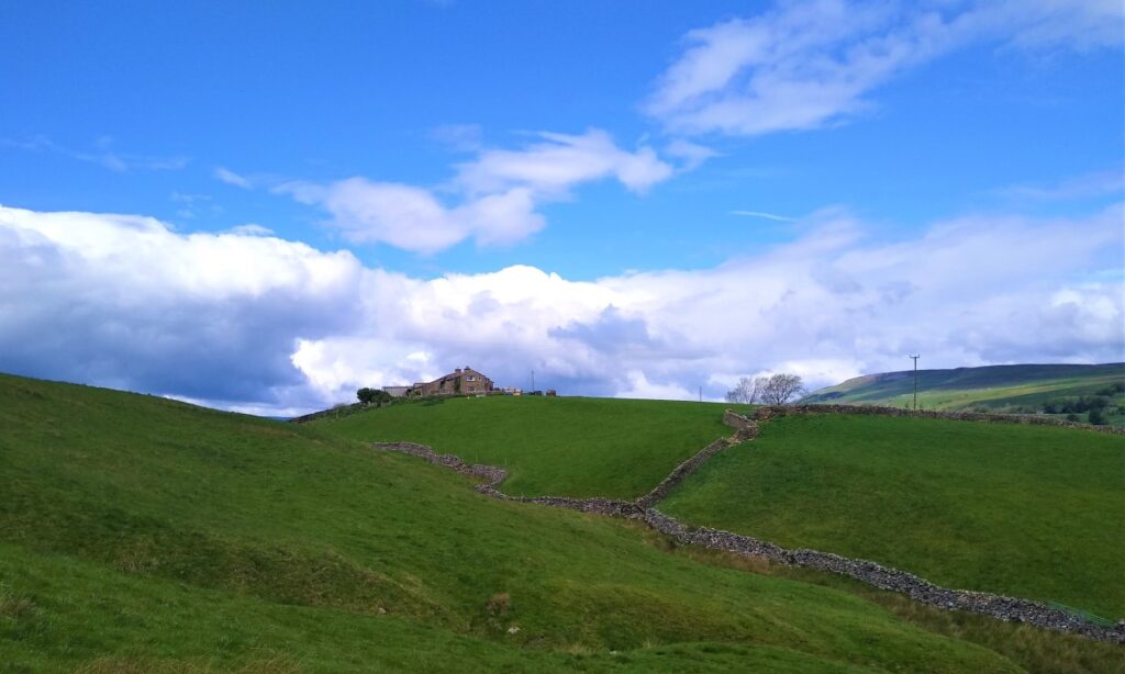
We continue across the top of a series of small meadows, each with a gated stile until we find ourselves in a larger and less manicured open field with a farm ahead of us on a ridge at Greensley Bank. We follow the path along the edge of a small stream (Goodman Sike) until we come to a drystone wall.

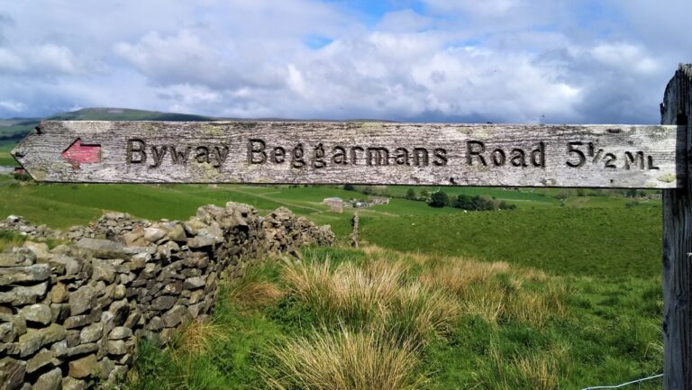
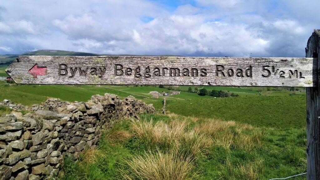
From the far side of the wall, we note that the path marked on the OS map continues over to the farm where we cross two stiles to come back into the same field, so instead of doing that, it makes sense to turn sharp left when we enter the field and follow the drystone wall uphill until we meet the Cam High Road. Here we see the Beggarmans Road sign, and so we welcome back anyone who opted to follow the Roman Road from the start.
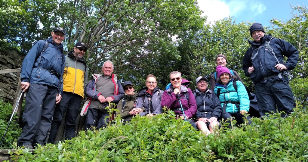
Notice that the Beggarmans Road is a byway – it is legal for motor vehicles to use it, although as we soon see, this is only an option for diehard 4 x 4 fans or off road motorcycles. We saw no traffic at all during the BFG group walk but be aware that this is a possibility.
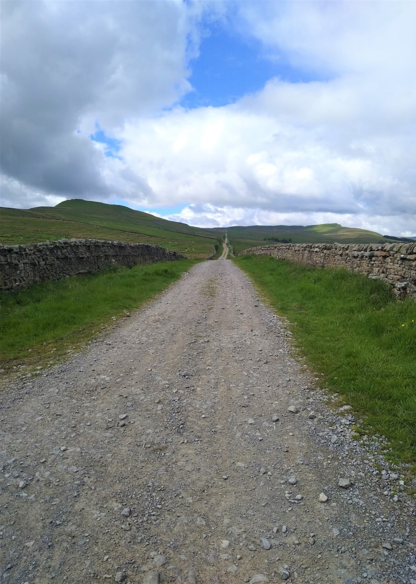
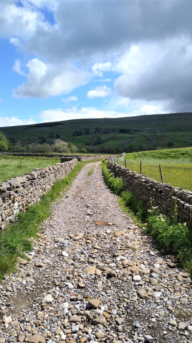
Ahead of us now is the Roman Road – and as you can see from the line disappearing into the distance, it complies with the stereotype of being arrow-straight.
It is known with certainty that the road connected the fort at Virosidum (modern Bainbridge) to Ingleton though from there the onward route is uncertain.
Maps from 1720 marked the road in a direct line to the fort at Over Burrow, south of Kirby Lonsdale, but there is no sign of it today.
Ivan Margary the scholar who devised the numbering system for Roman Roads suggested a more southerly route, joining the Ribchester to Over Burrow road somewhere near Low Bentham.
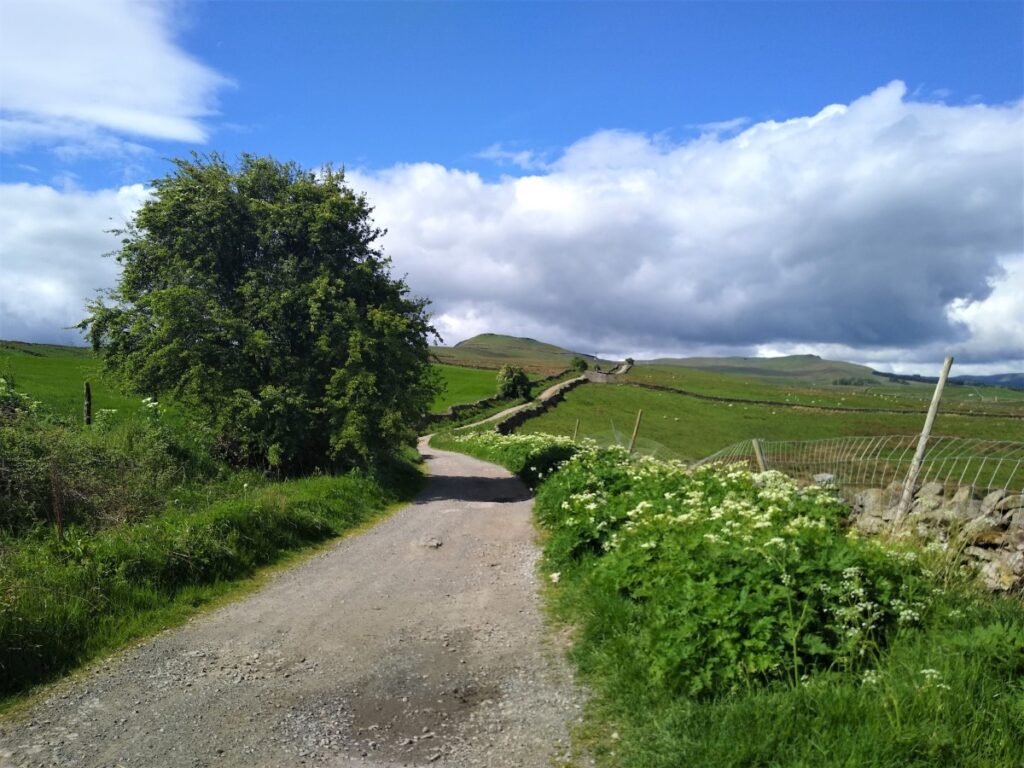
We continue to follow the Roman Road until it meets the modern road into Countersett. Here we cross and continue on the other side with views down toward Burtersett on the right and Wether Fell ahead of us.

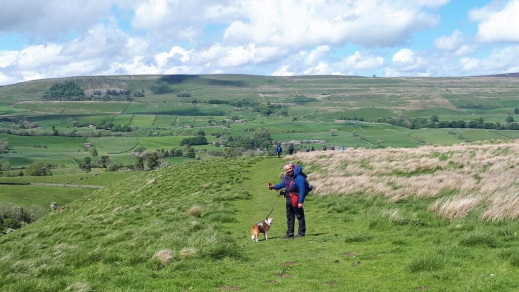
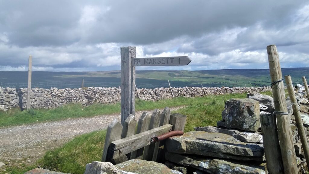
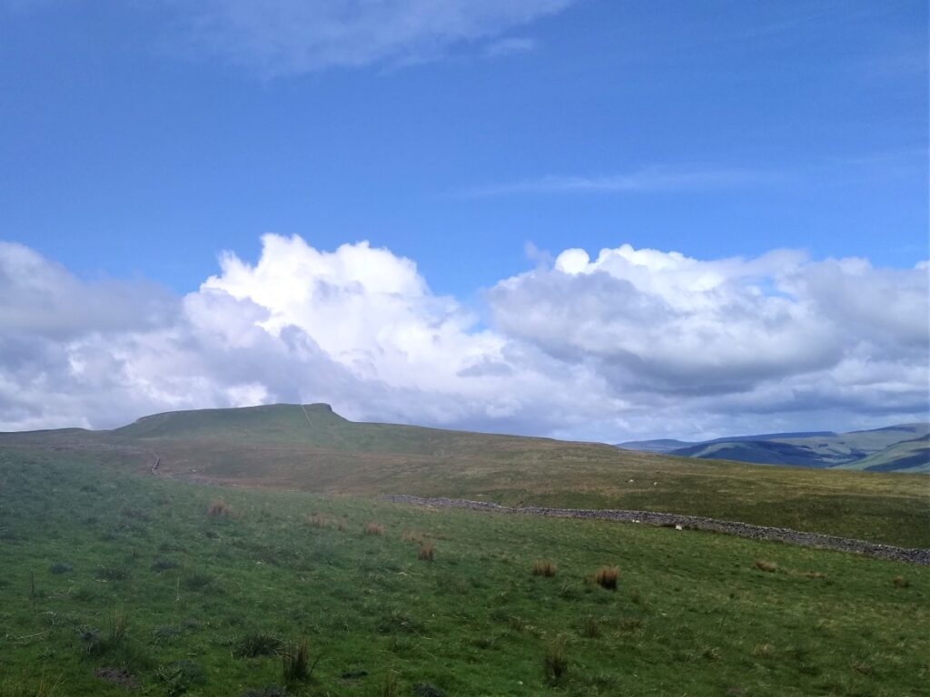
We soon see a path crossing the Cam High Road. The path on the right comes up from Burtersett, and is a well worth exploring another time, whilst on the left, signposted for Marsett, we see a steep route up to a notch in the ridge – this is where we head.
The lower lying ground can be quite boggy, and as soon as that is cleared there is something of a scramble up a steep slope to a gate at the top. Once there we carry on, following the line of the drystone wall, still climbing, until we see a four way fingerpost. This is the end of the relentless ascent that started at Bainbridge – the top is at a height of 511m.
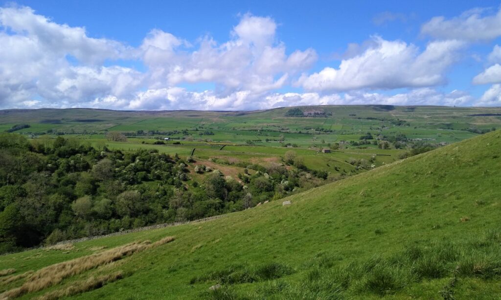
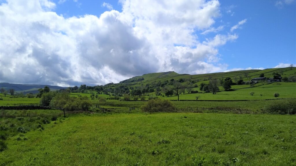
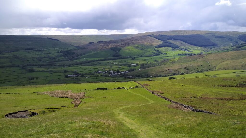
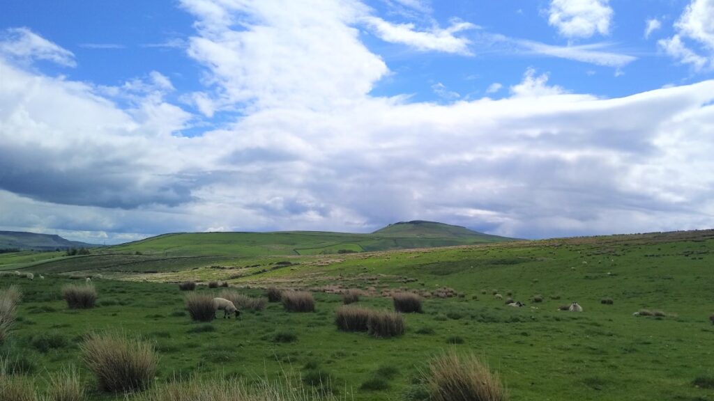
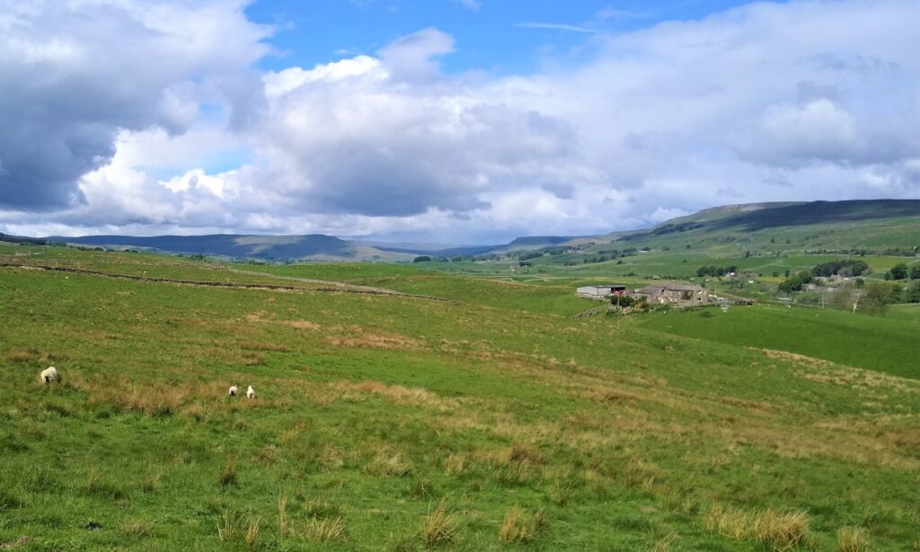
The finger post shows a bridleway crossing our route – but we carry straight on and start our descent into Raydale, one of the less well known of the Yorkshire Dales, and therefore often less crowded despite being so attractive.
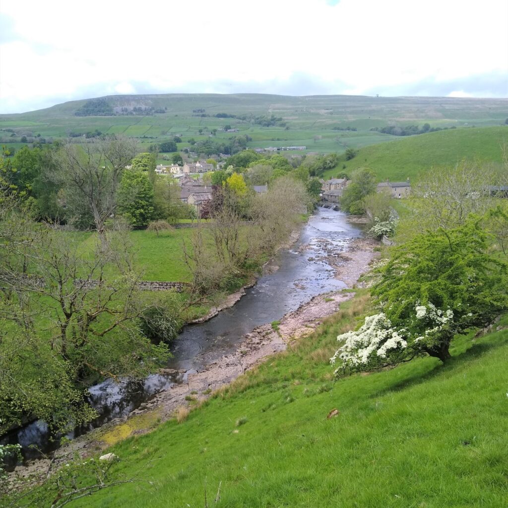
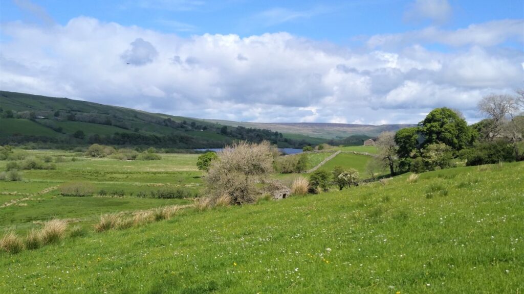
We see Marsett in the valley bottom, with Stalling Busk further away on the opposite side of the valley, and before long we catch our first glimpse of Semerwater over to the left.
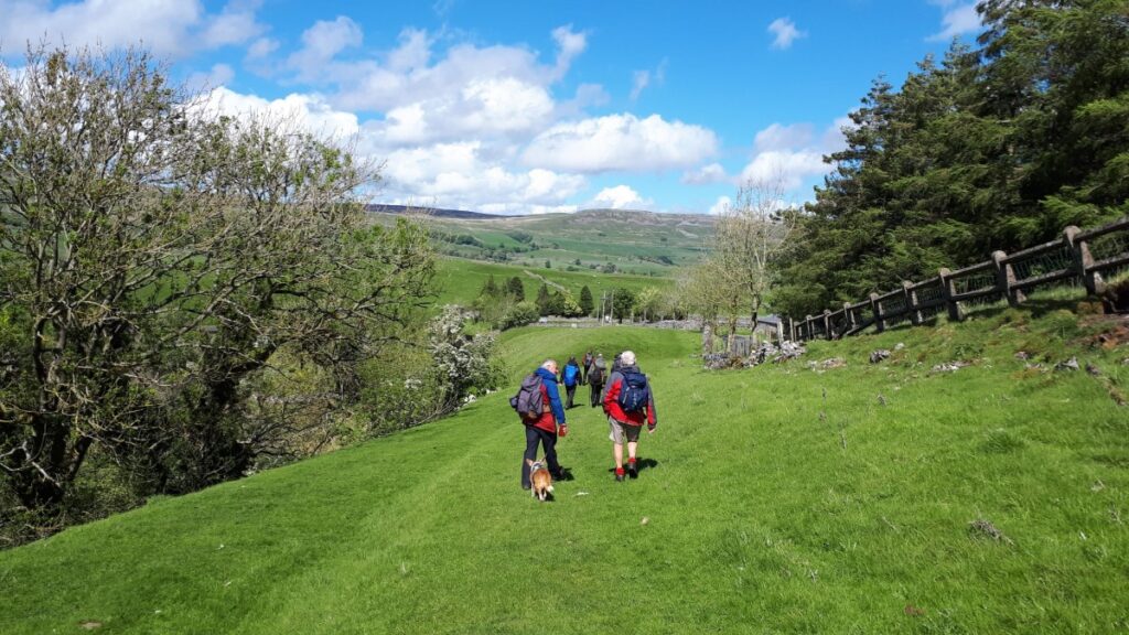
The track down is steep – and care is needed especially when wet – but it soon levels out to approach a stile over a drystone wall, and from there down to the corner of a meadow where we continue through a gated stile that may be hidden behind tall grass: The key is to head directly toward Marsett.

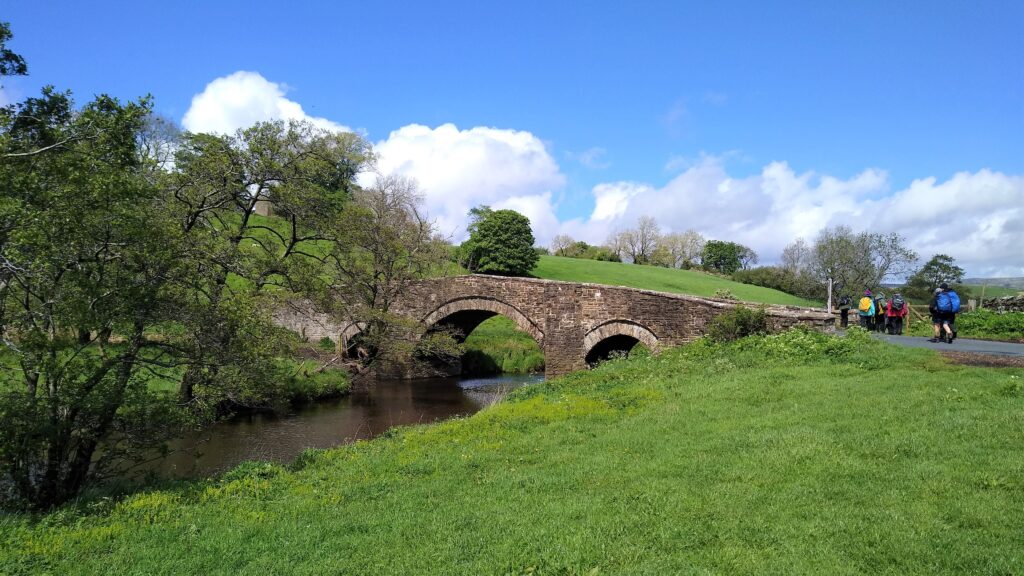
The path remains clear and soon approaches a lane which we join and head downhill to the road into Marsett. We turn right and cross the bridge, taking a moment to have a look at this pretty hamlet, which consists of just two farms and ten permanent dwellings, together with a number of holiday cottages. There is also a Methodist Chapel, built in 1897.
The name, first recorded in 1283 as Mouressate, is from the Old Norse Maures sætr, meaning ‘the sætr of a man named Maurr’. A sætr is the Norse word for a hamlet, or group of dwellings, and the word continues to be used in Scottish Gaelic. The cluster of place names ending “sett” in this valley shows clear evidence of Viking history.
In 2016, Marsett’s red telephone box was scheduled to be removed, but following a successful campaign where local councillors pointed out that there is no mobile phone reception in the area, it was renovated instead. This is one of around 10,000 working red call boxes left in the UK – although this number is diminishing.
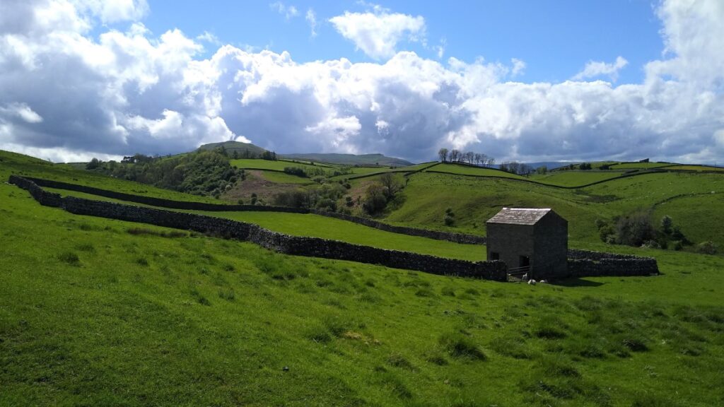
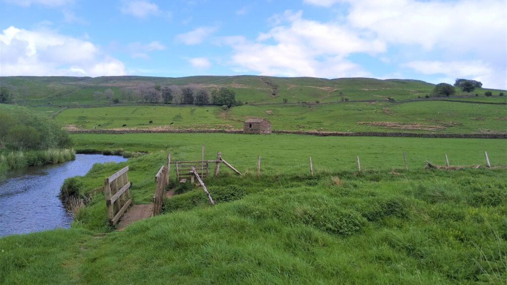
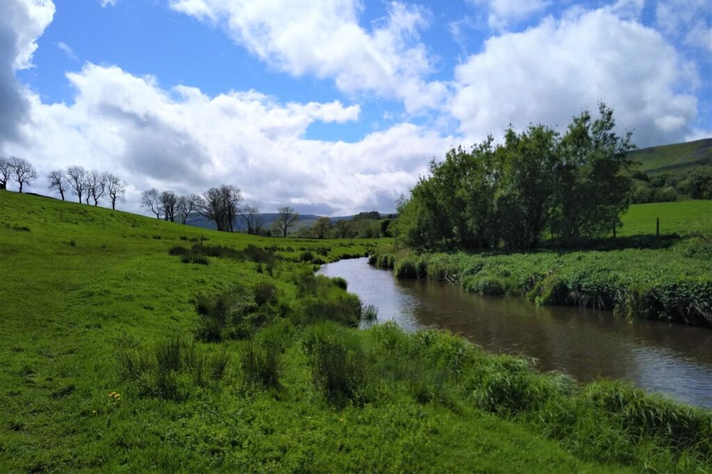
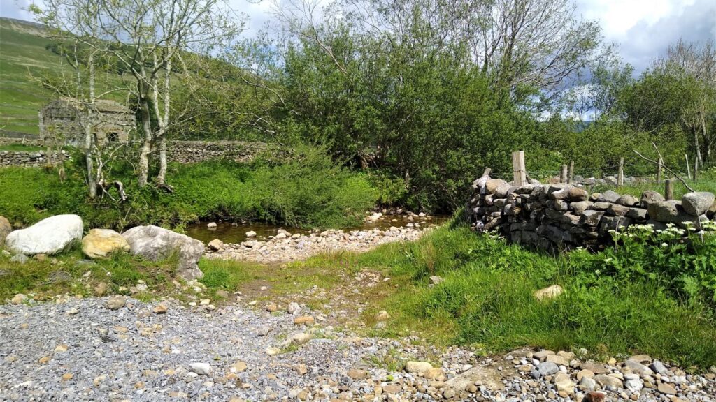
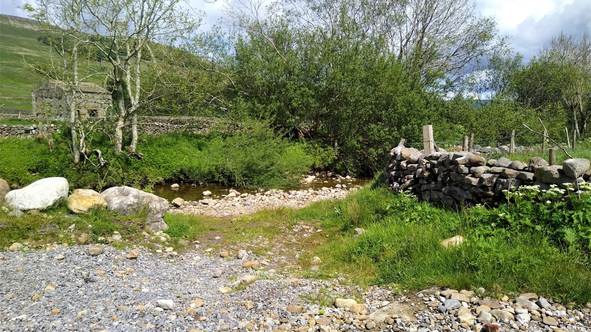
Just after the road bridge crosses Marsett beck, we turn left and take a track along the southern bank of the river. After a short while this leaves the river and heads up a track toward a gate which admits us to the Nature Reserve. We pass an independent hostel on the right and then see a footbridge ahead of us. This crosses the Longdale Sike, as does the alternate ford – take your choice.
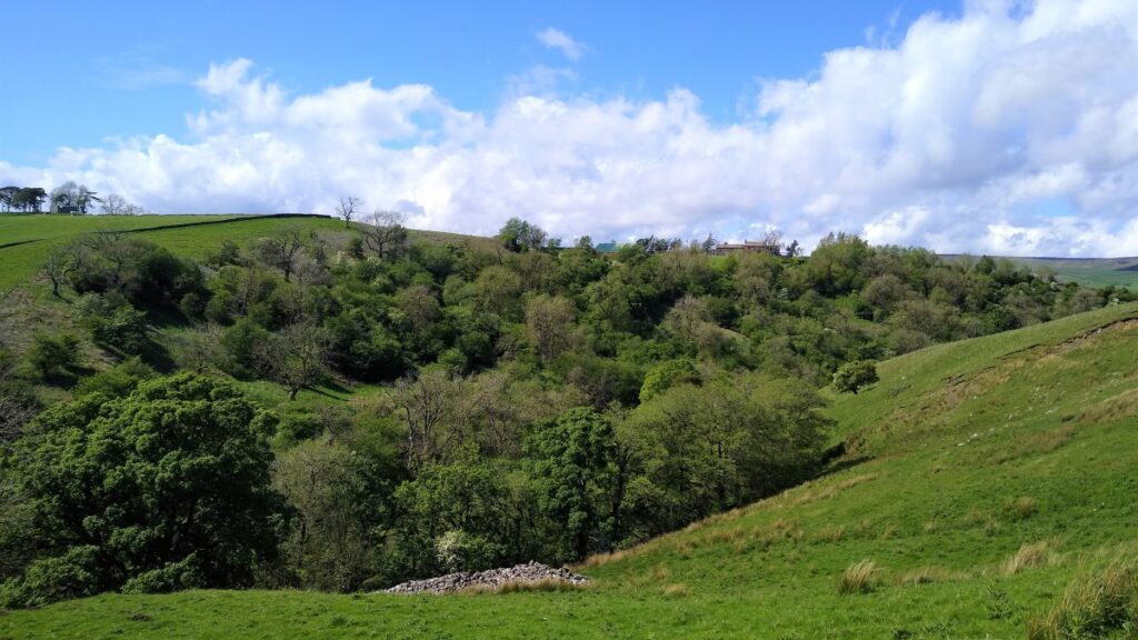
The path now heads up a rough lane, and we soon see another footbridge on our left. We cross this and take a path through boggy ground helped by the installation of large stone flags. We cross a stile and then take a clear path to the left and head slightly uphill toward a barn.
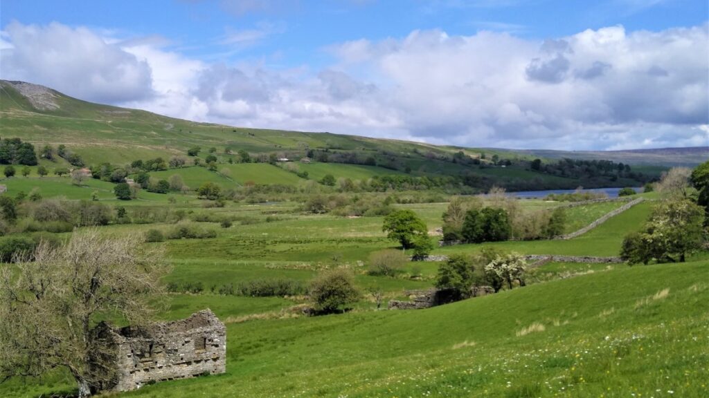
We turn left at the barn and follow the path – which remains clear – gaining height slightly as we head toward the lake and the old church at Stalling Busk.
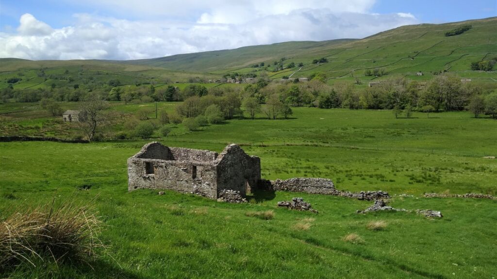
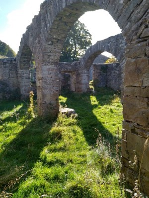
This wonderfully atmospheric ruin is all that remains of the original parish church of Stalling Busk. It dates from around 1722, although some of the structure incorporates stonework from the early church on this site dating from 1602 or 1603. The interior is divided by two arcades which run North-South rather than follow the usual East-West alignment. These arcades probably date from the early 19th century. The church was still in use in the early 20th century, but it was in a poor state of repair.
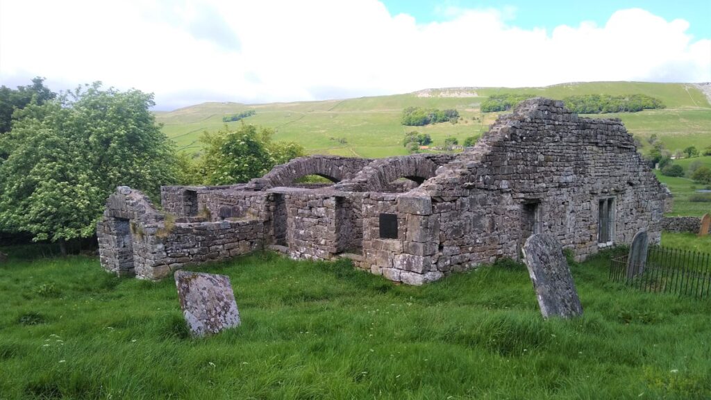

When the new church of St. Matthew’s was built in the village of Stalling Busk in 1908 to 1909, the old church fell into disuse and was soon stripped of its roof and furnishings. Some consolidation work was carried out in 1981, when the altar was also rebuilt in its present position against the North rather than its original position in the East aisle. Further restoration was then undertaken in the year 2000.
In its early years this building was a chapel of ease. Stalling Busk became a perpetual curacy in the 1750s and a fully independent ecclesiastical parish in the 1860s. The parish covers the whole of Raydaleside and, and about 750 people from this area lie buried in the churchyard.
A respectful exploration of this well-tended graveyard shows that burials continued well past the date when the new church opened – presumably because local people wanted to continue to be buried with loved ones. The most recent grave marker is 21st century.
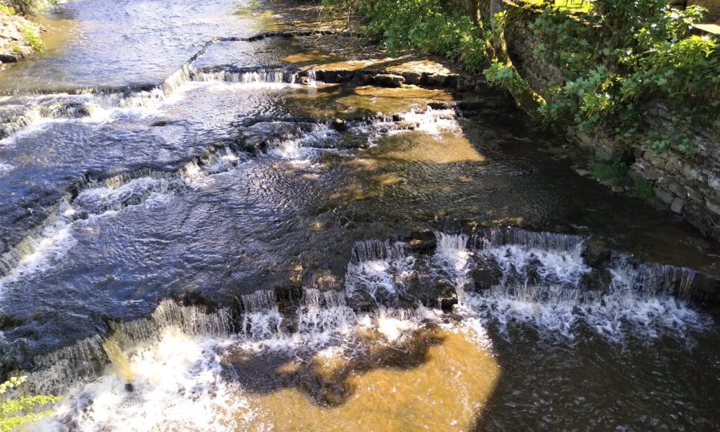
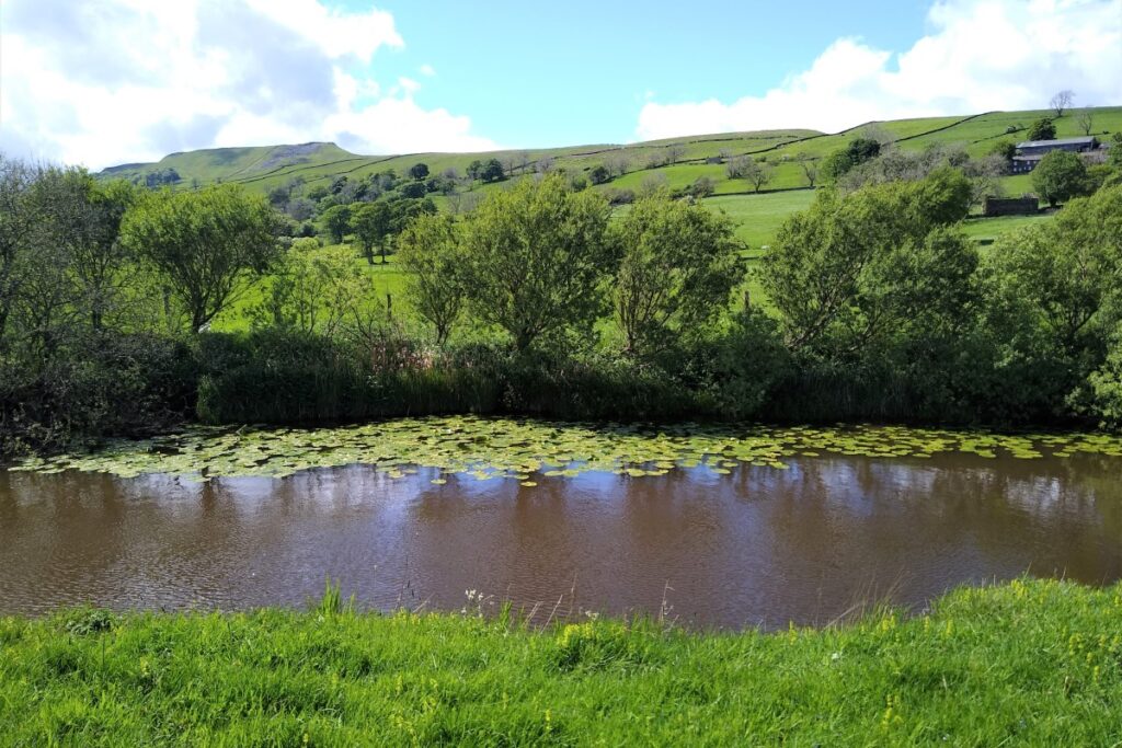
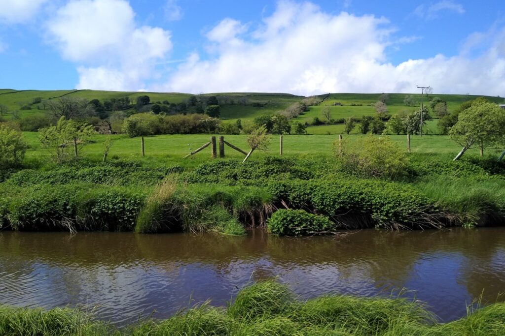
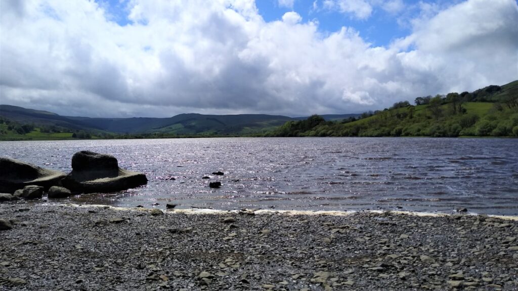
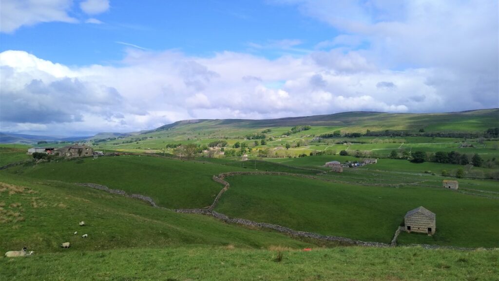
We leave the church by the stile and turn left to head down to the lake. The path takes us through another section of nature reserve, with good views over Semerwater and the wetlands to it’s Southwest. The river entering the south side of the lake is Crooks Beck, whilst it is drained on the North by the River Bain. This is England’s shortest river at just 2 ½ miles – it ends when it meets the Ure in Bainbridge.
We follow the path, which soon moves further away from the waterside until we meet the road at a farm. It is worth noticing here that parking on the north side of the lake is payable at this farm.
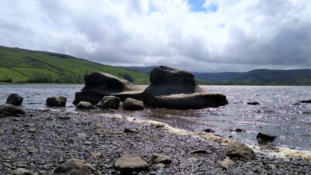
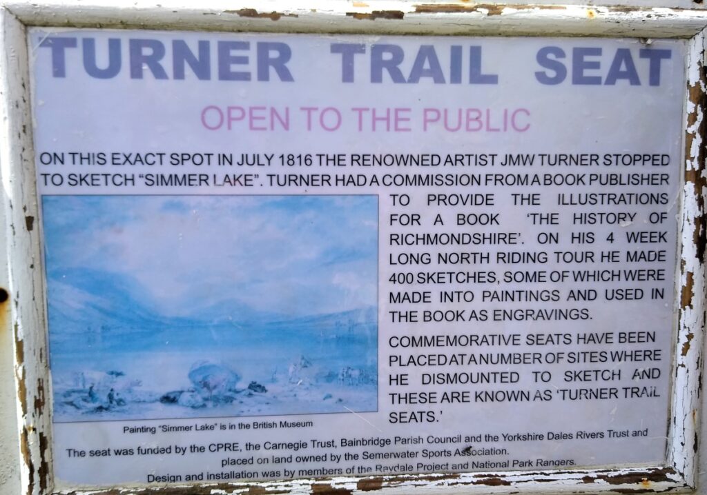
We turn left and walk down the road to the lakeside parking. Here we find the “Turner Seat” the place where JMW turner painted his masterpiece “Simmer Lake”. Visit the TATE website to see how accurate Turner’s view was.
Semerwater is an odd place name. The name, first recorded in 1153, derives from the Old English elements sæ ‘lake’, mere ‘lake’ and water. So, the form “Lake Semerwater” introduces a fourth element with the same meaning: “lake lake lake lake”. This is known as a pleonastic naming and is common where the original meaning of the name is lost to current usage.
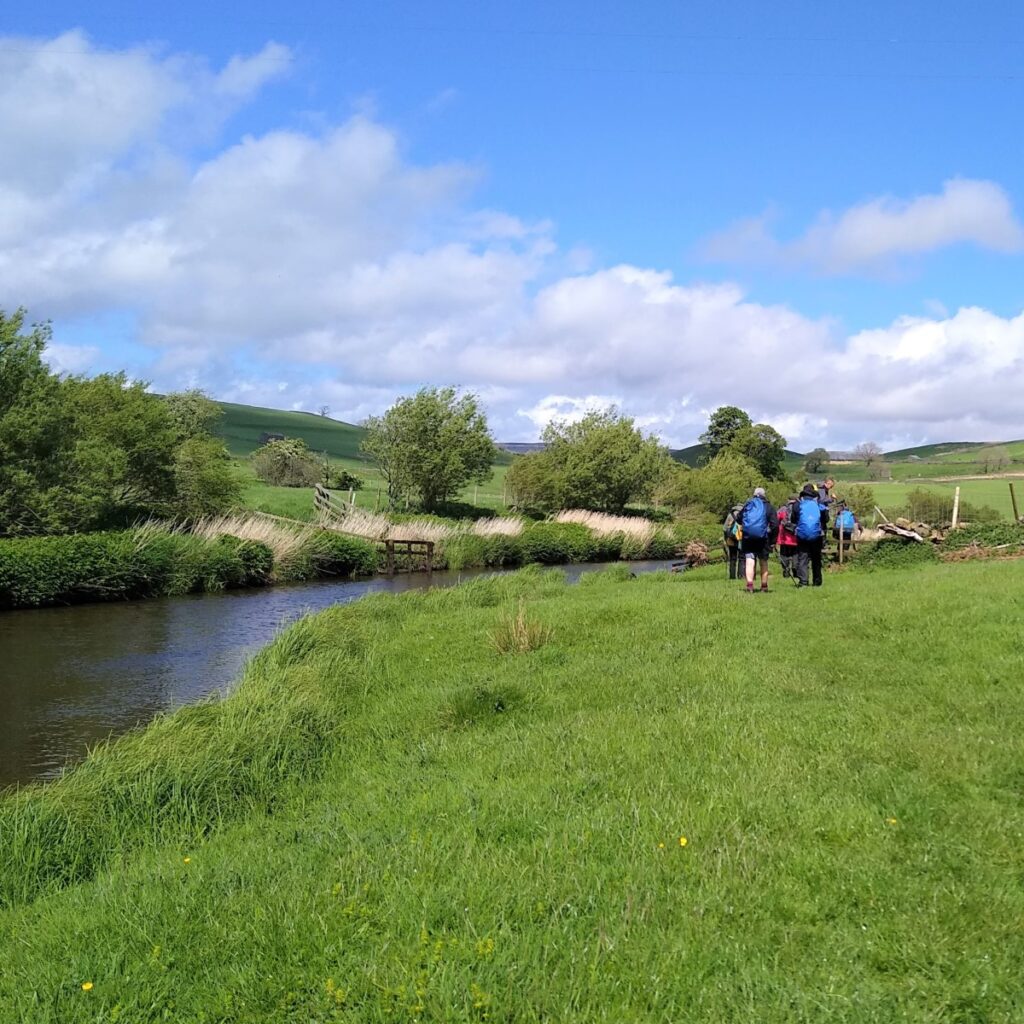
We now head North toward the bridge where the road crosses the River Bain and take the stile onto the riverside path downstream toward Bainbridge. Our route coincides with the Pennine Journey path at this point.
The path hugs the riverbank initially, and we cross fields with a good chance of seeing hares in the spring.
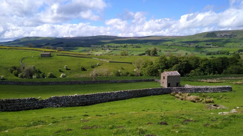
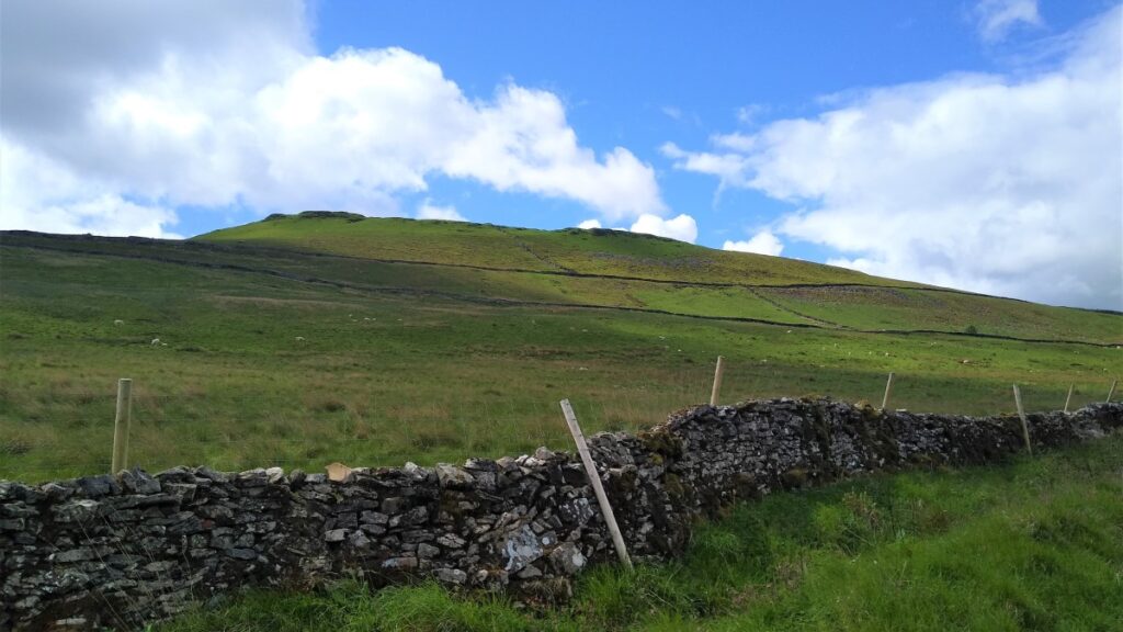
We cross a small footbridge and then follow the river round to the left before heading up a clear path to the peak of Bracken hill. This is our last high point of the day at 311m, and we have good views North to Bainbridge and Askrigg, Northwest along Wensleydale, and Southwest back to Semerwater.
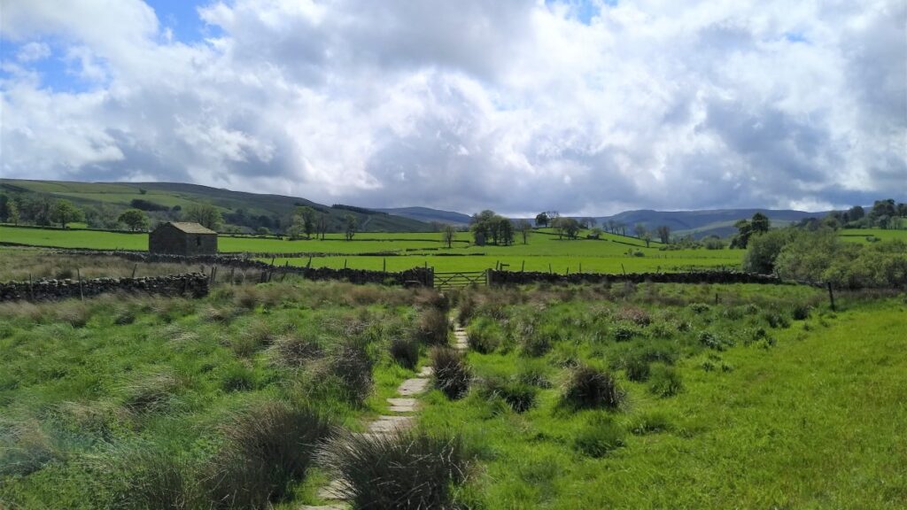
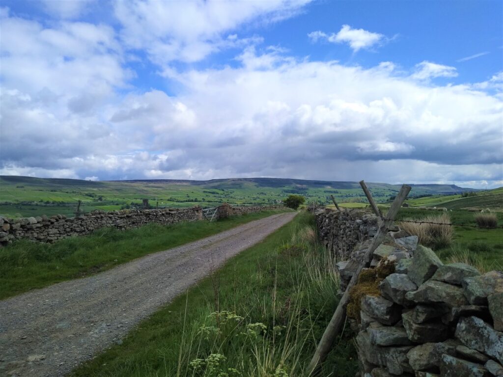
For the last leg of the walk, we head downhill to pick up a drystone wall that separates us from the minor road to Stalling Busk. We stay in the fields though and ignore a sign showing a path exiting onto the road – our route is down to the A684 at Bainbridge, staying within the field.
Before we head down though it’s worth looking North to Brough Hill just to the right of Bainbridge. This is where the Roman fort of Virosidum was located, and in suitable light, the clear oblong outline of the Roman structure is still visible.
While the fort may have had an earlier phase, the visible remains date to AD 90–105. The outline of the defences of the fort contains an area of 1.16 Hectares (2.8 acres). The fort platform survives to a height of 3.9m and it is surrounded by a single ditch on the north, east and south sides, with a series of five ditches on the west. It is thought that the site was abandoned between c.120 and c.160. The fort interior was rebuilt in the early third century by the Cohors VI Nerviorum and further rebuilding across the whole site took place in the late fourth century, with pottery evidence suggesting a late abandonment as Roman power waned.
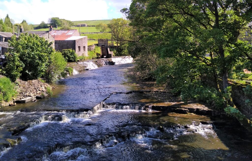
At the A684 we turn left and head downhill back into Bainbridge, taking care as we cross the road bridge – there is no pavement.
Worth noting from the bridge is the Archimedes screw of the Bainbridge Hydro project. The screw powers most of the properties in the village, with excess electricity being sold off to the National Grid. It was opened in 2011 with an installed capacity of 45 kW and is expected to last 40 years. It is a low-demand eco-friendly scheme and is expected to save 3300 tons of CO2 during its working life.
- Total distance 15.8 km (9.8 miles)
- Total Ascent 492 m
- Challenging walk