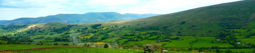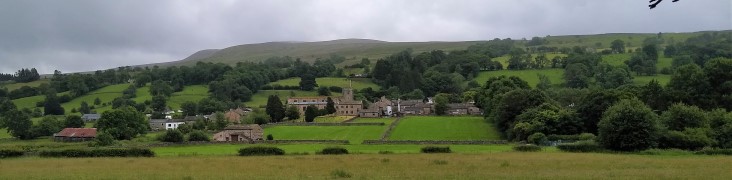
Sedbergh, Brigflatts and Millthrop
6.3miles | 10.2 km | 217 m Ascent | 7.4 Naismith miles | Terri Kwiecinska
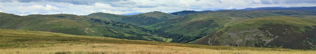
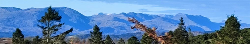
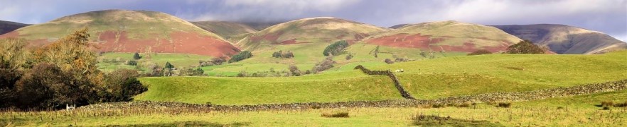
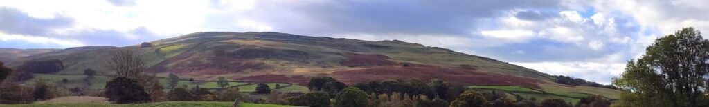
People often associate Sedbergh with the Howgills and steep climbs such as Cautley Spout, Winder or The Calf. These are indeed great options, but there are gentler walks from Sedbergh, and that’s what we offer here.
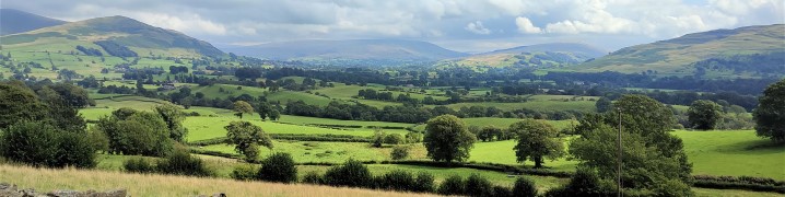
We start in the town centre and then take a route past the parish church to Birks, then walk over flat fields to the historic Friends Meeting House at Brigflatts. We backtrack slightly and take a disused railway line to the river Rawthey which we follow upstream to a footbridge at Birks. We cross this and then head across a golf course to the rather lovely Abbot Holme Bridge, then follow the Dee upstream to Dent Foot Chapel and Rash Bridge. From there we cross and at Rash climb through a couple of fields to pick up the Dales Way into Millthrop, before crossing the Rawthey again and returning to Sedbergh. Overall then we get to see lots of the Howgills in their autumnal colours without needing to actually climb them.
Sedbergh, Brigflatts and Millthrop Read More »