Jump to . . .Step by Step | OS Map | Downloads | Gallery | Fly through
Many people associate Killington with the reservoir and the services on the M6.
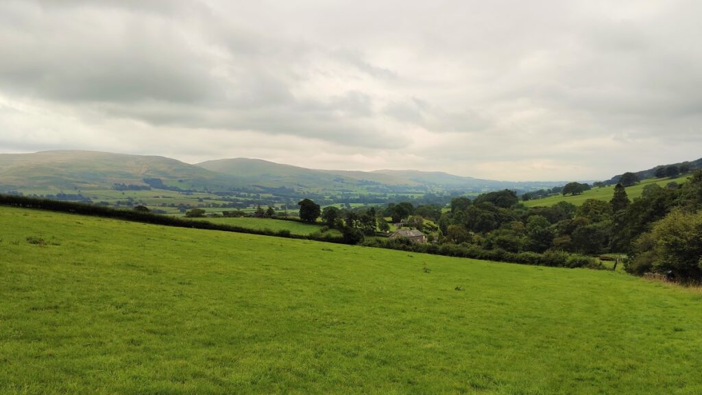
In fact, the pretty 14th century village that the reservoir is named after is some way to the East of there in the Lune Valley with impressive views over to the Howgills at Sedbergh.
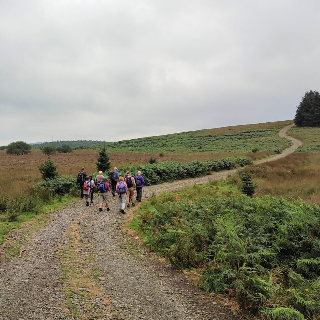
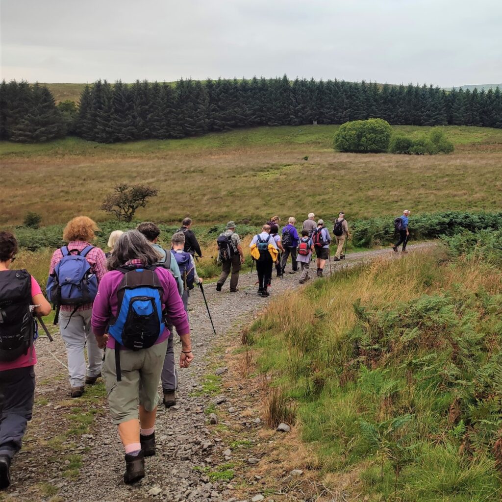
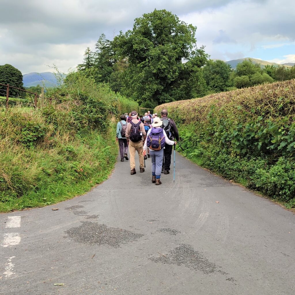
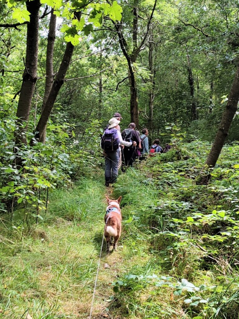
This relatively easy walk takes the shape of a figure eight on the OS map – and there are paths to enable either loop of the figure 8 to be walked independently, so two shorter walks can also be found here.
Apart from some boggy ground at Tarn Moss, the walking is easy though, so we recommend the walk as published here.
- Total distance 11.6 km (7.2 miles)
- Total Ascent 435 m
- Easy walk
Step-by-Step
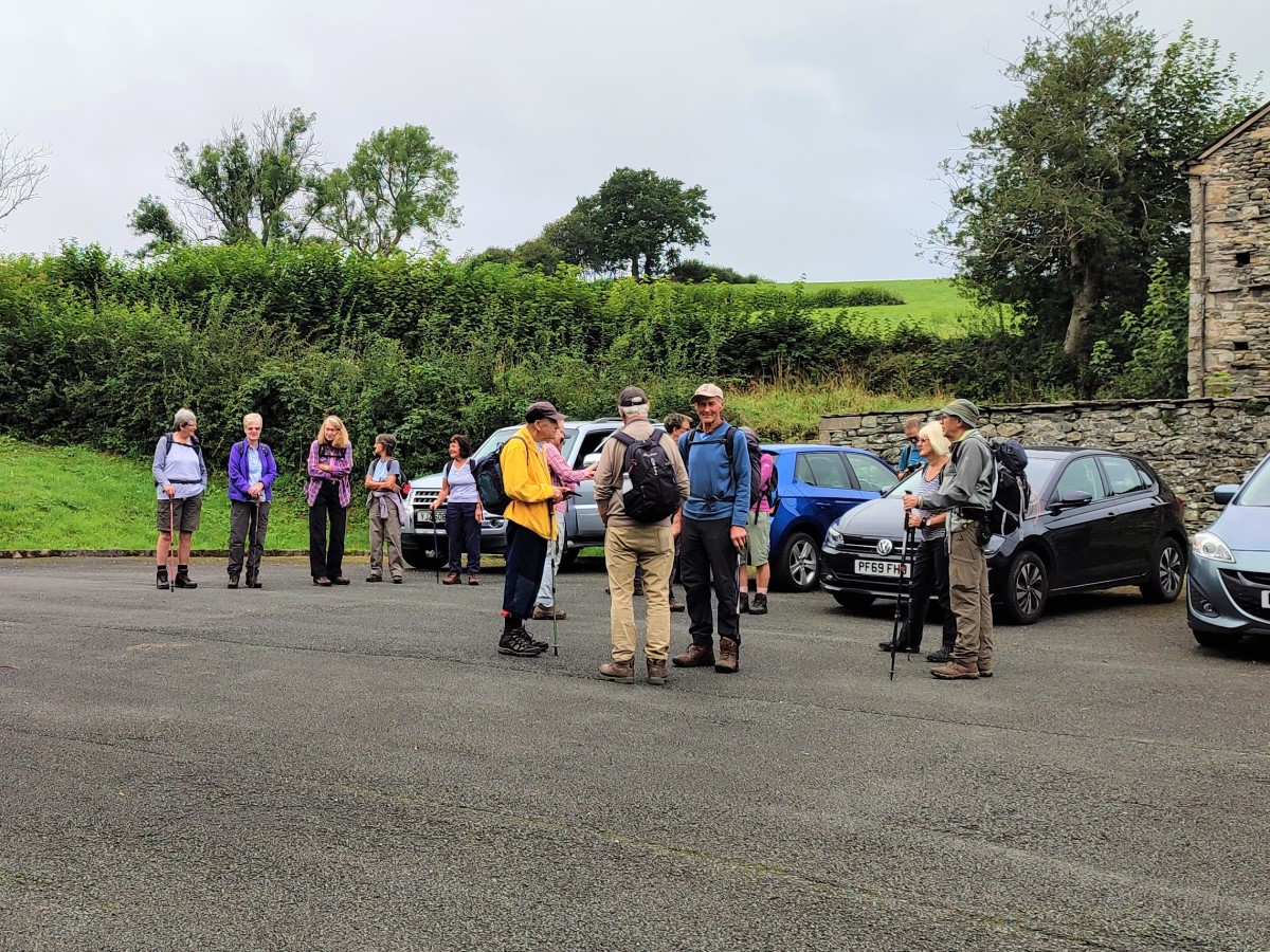
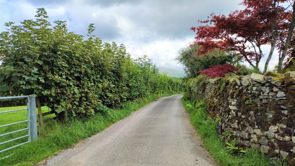
We start at the free carpark next to the graveyard in Killington. To find the car park, use map reference SD61328891, what-3-words tag chefs.pegs.pavilions, or for satnav, use LA6 2HA.
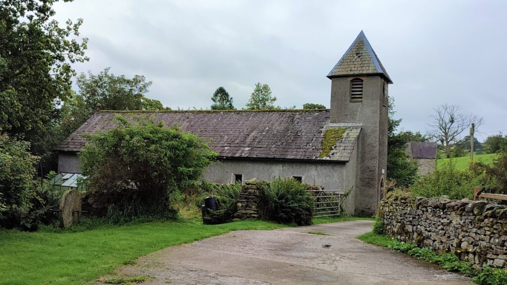
The car park is free, and as far as we could see does not have an honesty box to enable a voluntary contribution. We believe that technically the car park belongs to the church – All Saints, which we pass at the start of the walk, so if you feel moved to show your gratitude pop into the church and leave a donation.
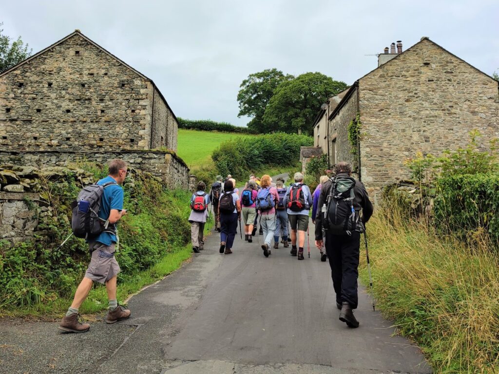
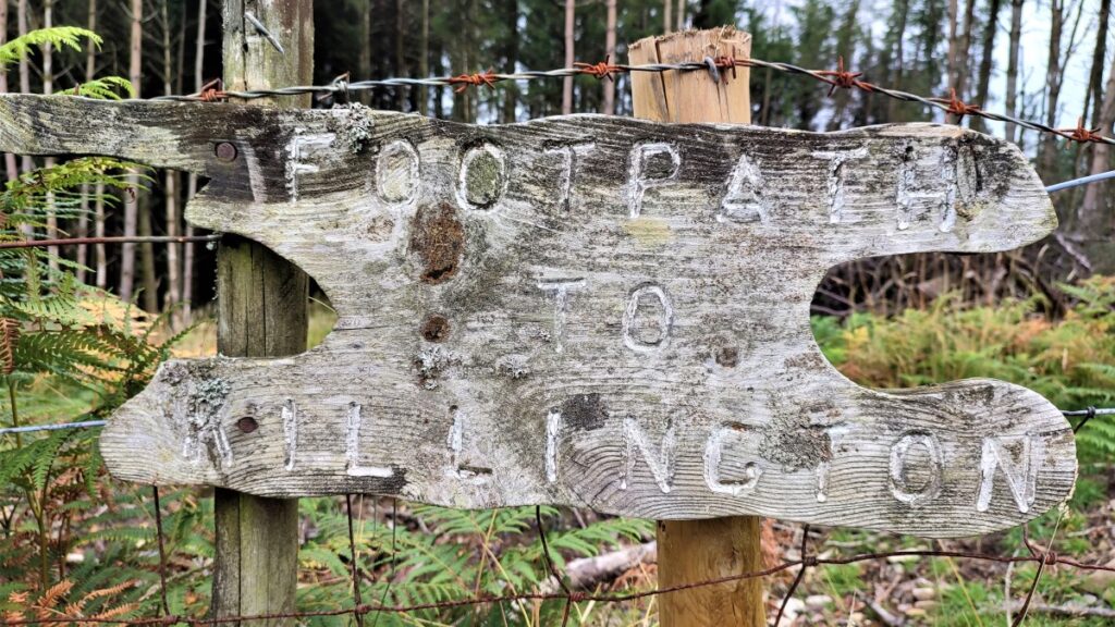
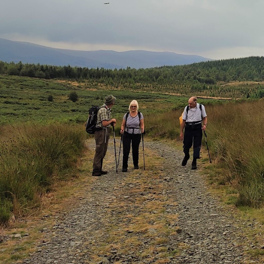
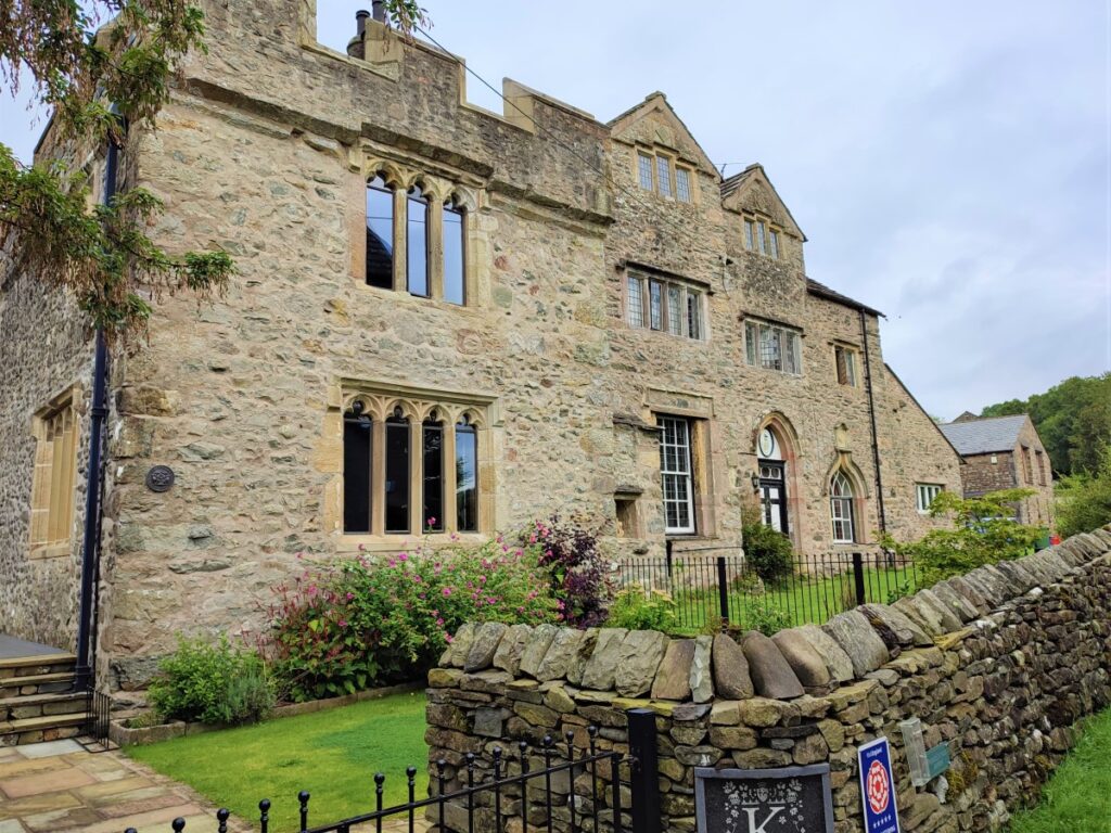
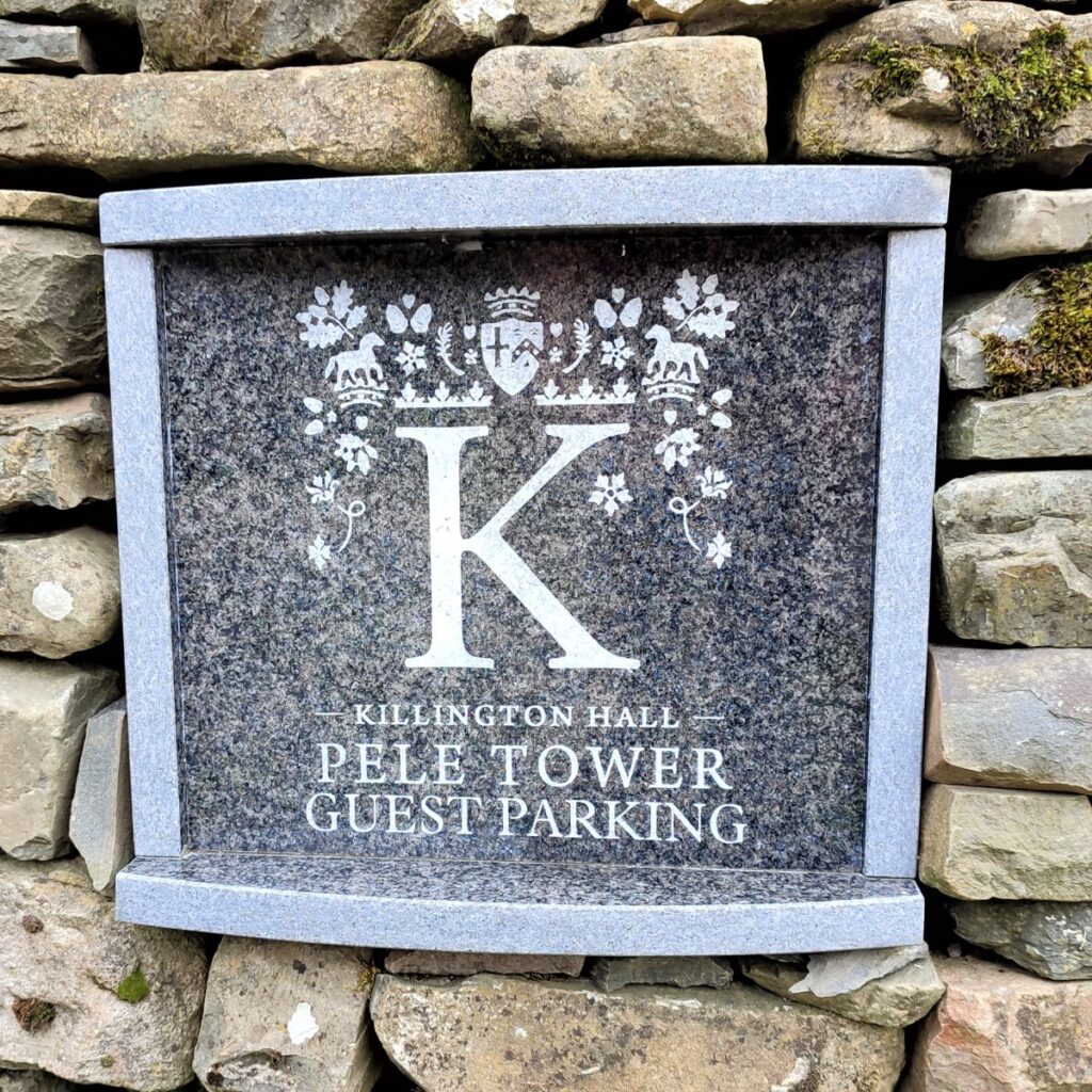
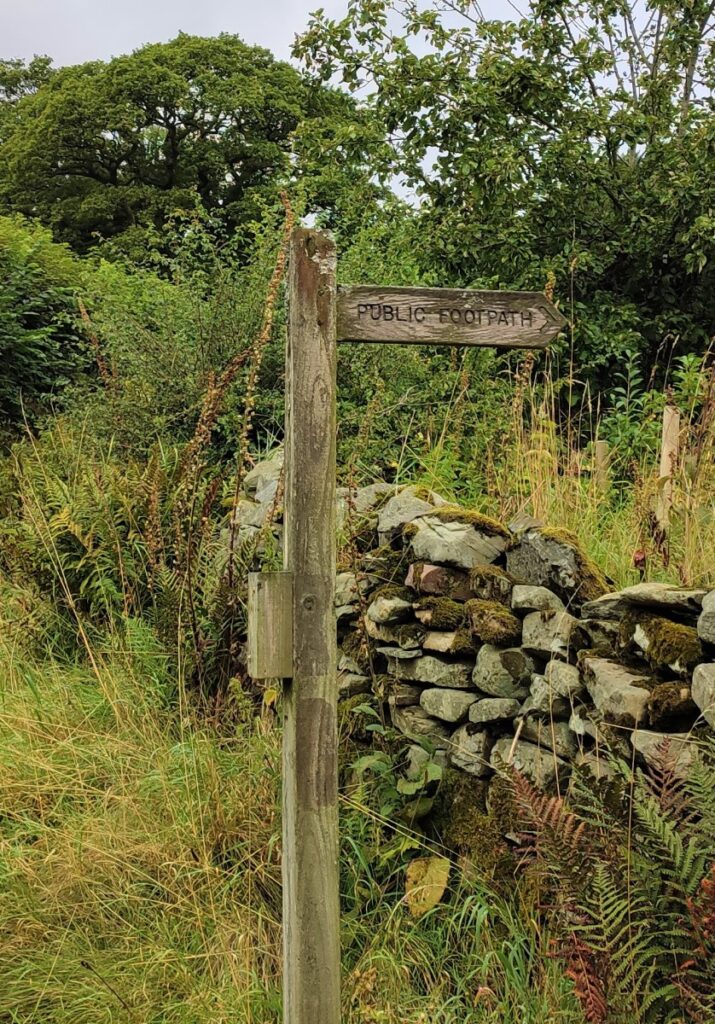
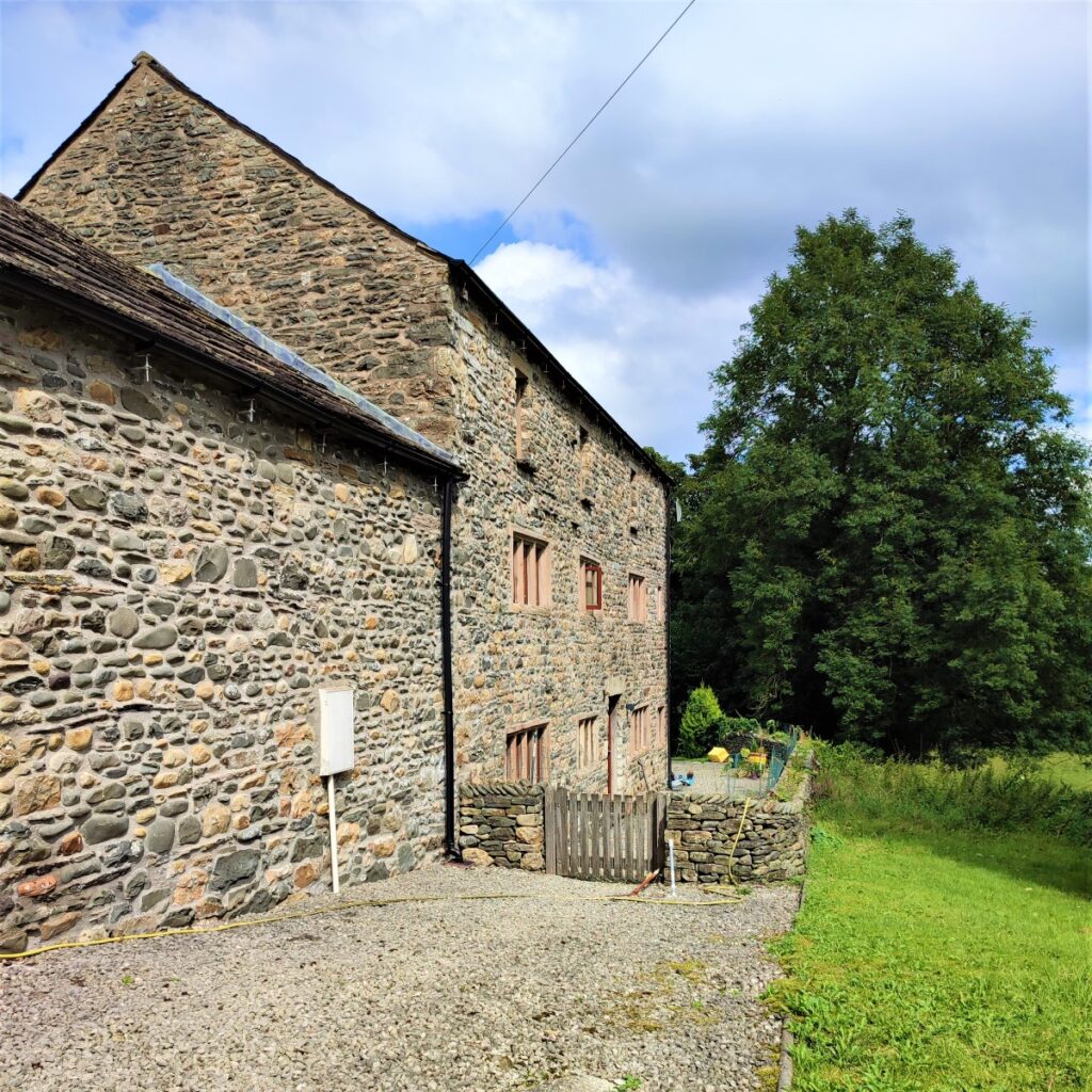
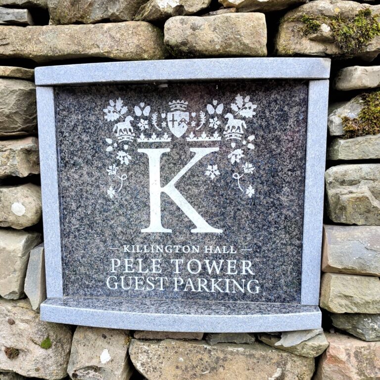
From the car park we turn left and head up the lane between two stone buildings, keeping an eye open for a footpath fingerpost on the right hand side. Here we take the lane toward the church and the 14th century Pele Tower.
Killington and Firbank (a few miles further North) were originally one manor with the River Lune forming a boundary. Killington is tucked away behind the hills immediately to the west of the Lune Valley, and is an ancient site, dating back to Saxon times. The name Killington is believed to be a corruption of the Anglo Saxon ‘Cyllasingatun’ meaning the homestead or farm of Cylla.
Pele or peel towers are a peculiarity of the Anglo-Scottish borders – and so not surprisingly they feature in a number of Bentham Footpath Group walks. Pele Towers are small, fortified keeps or tower houses, built along the English and Scottish borders in the Scottish Marches and North of England, mainly between the mid-14th century and about 1600. They were primarily defensive although they also played a role in the confirmation of status and prestige

They also functioned as watch towers where signal fires could be lit by the garrison to warn of approaching danger, and most came into existence during the Scottish Wars of Independence, when the population lived in constant fear of attack.
It is quite surprising that any are still standing: When James VI of Scotland became James I of England he decreed that the borders should henceforth be known as the “Middle Shires” and that all pele towers should be torn down.
Large Pele Towers have a “barmkin” or yard enclosed by a wall or palisade of some description. In wealthier towers this would be stone built, whilst in other locations it would be more of a thorny hedge-based structure. The idea was that cattle could shelter in the barmkin whilst people sheltered in the tower that was usually several stories high and many feet thick. The basement room of a tower would be vaulted and used for storage. Often the original access to the living quarters of the tower would be through a hole in the vaulted ceiling via a ladder which could then be drawn up after the defenders.
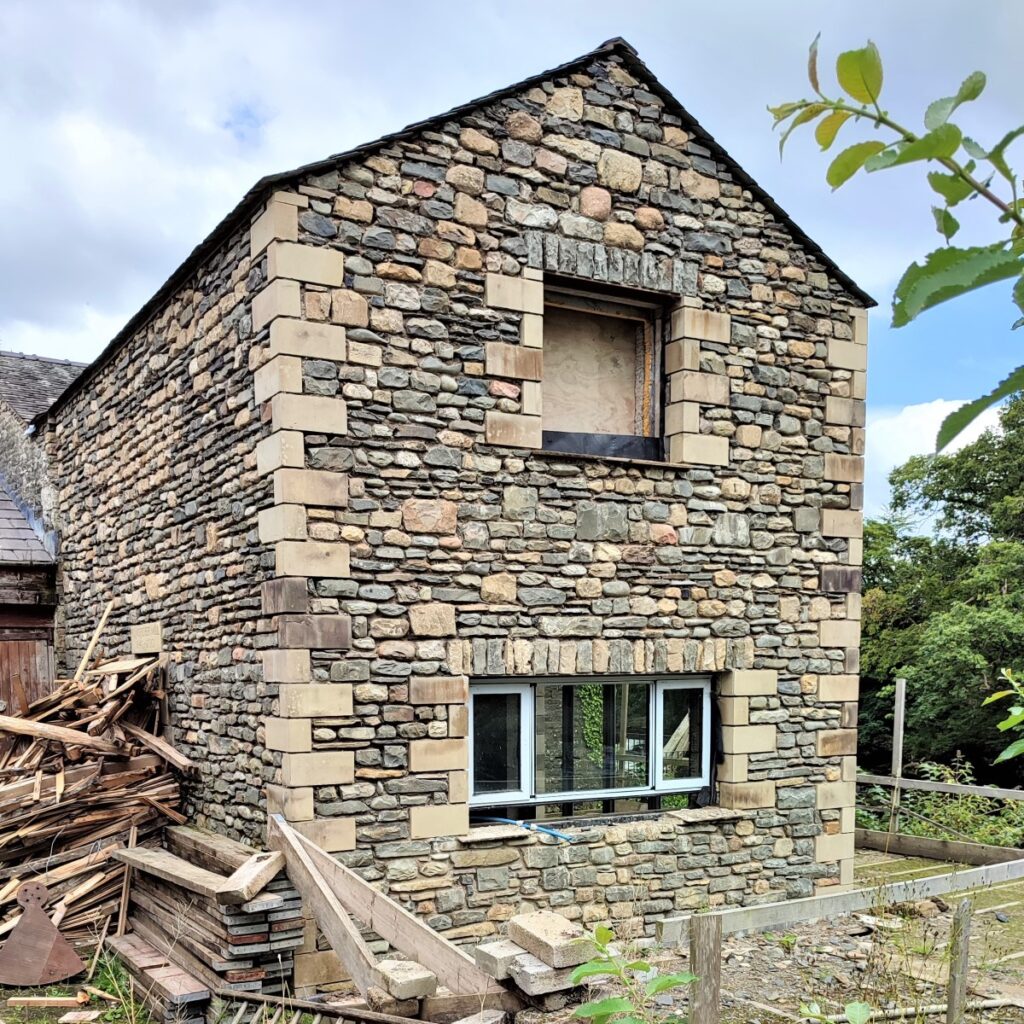
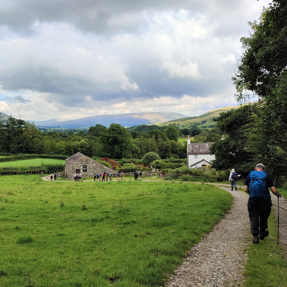
The tower we see now at Killington Hall has been carefully restored and repurposed as upmarket self-catering accommodation.
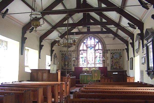
Opposite the hall is All Saints Church – and like the Hall, this can be traced back to the 14th century.
This simple, but rather lovely building has a nave and chancel in one, and a bell turret.
The North windows are 14th century, and the south windows 17th century.
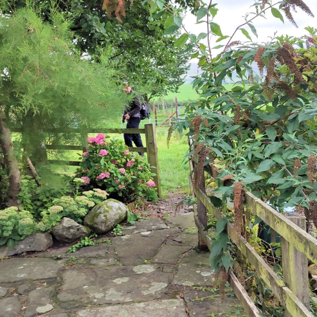
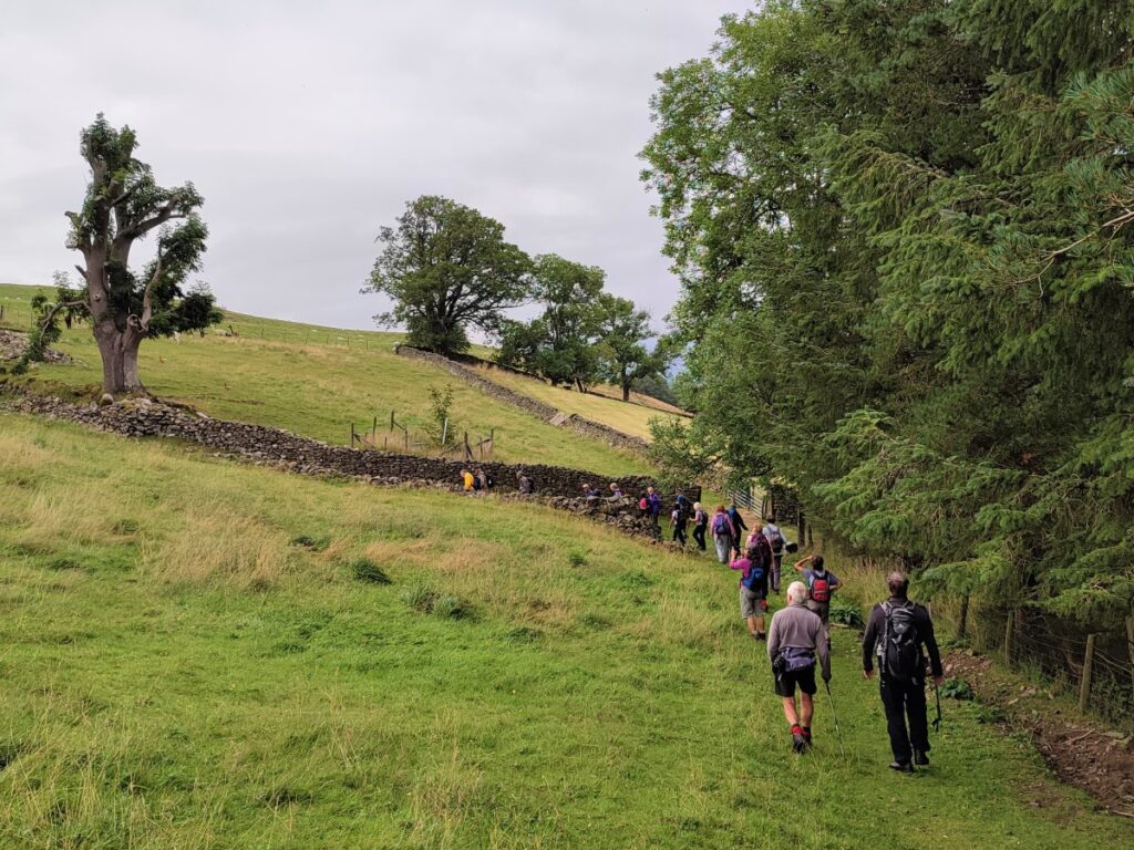
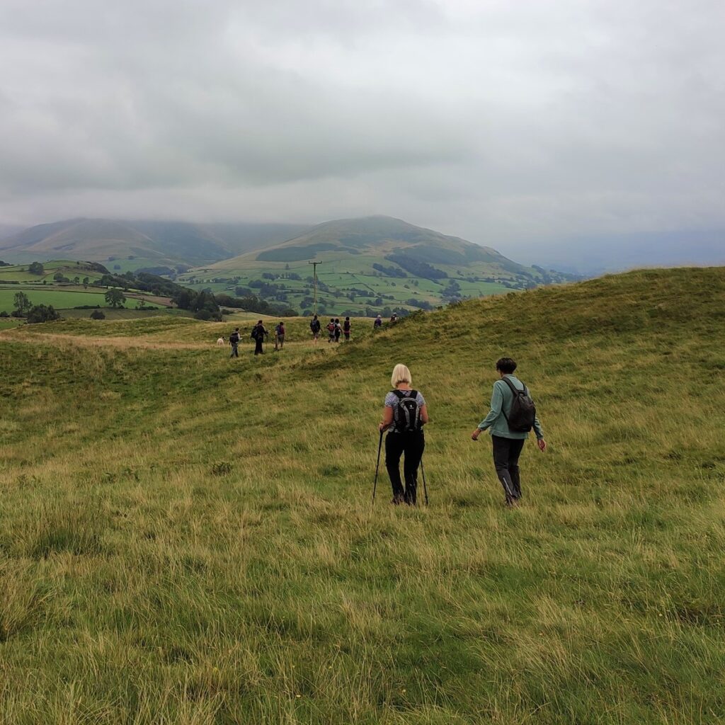
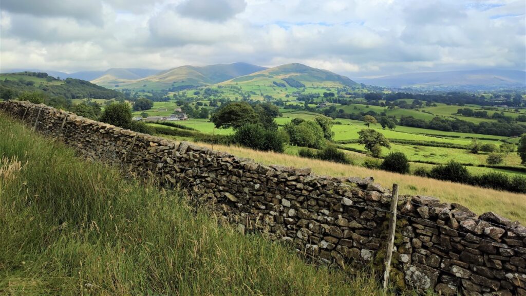
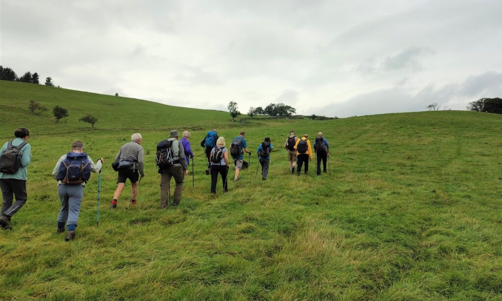
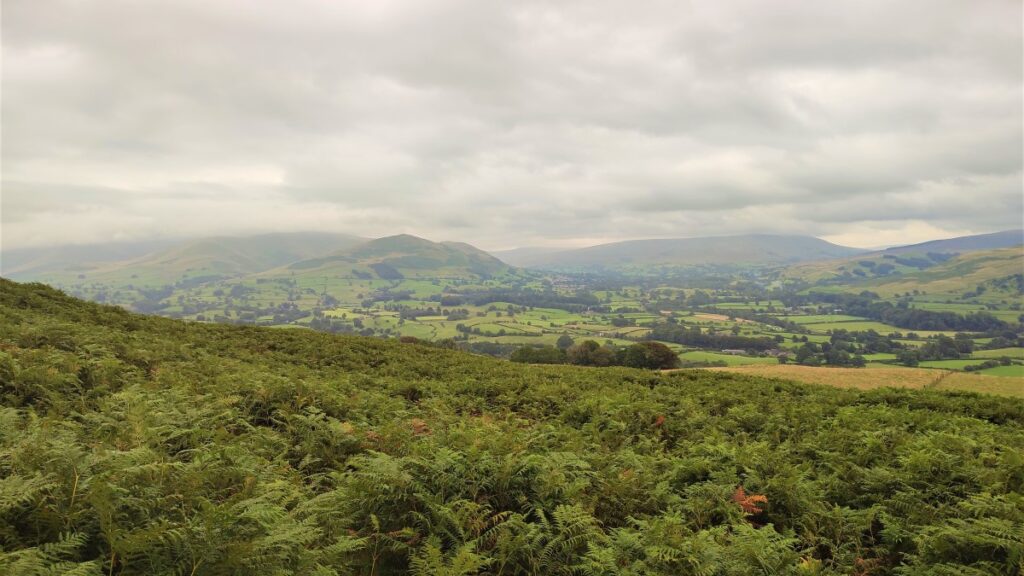
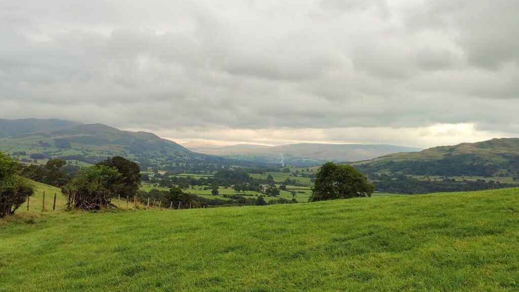
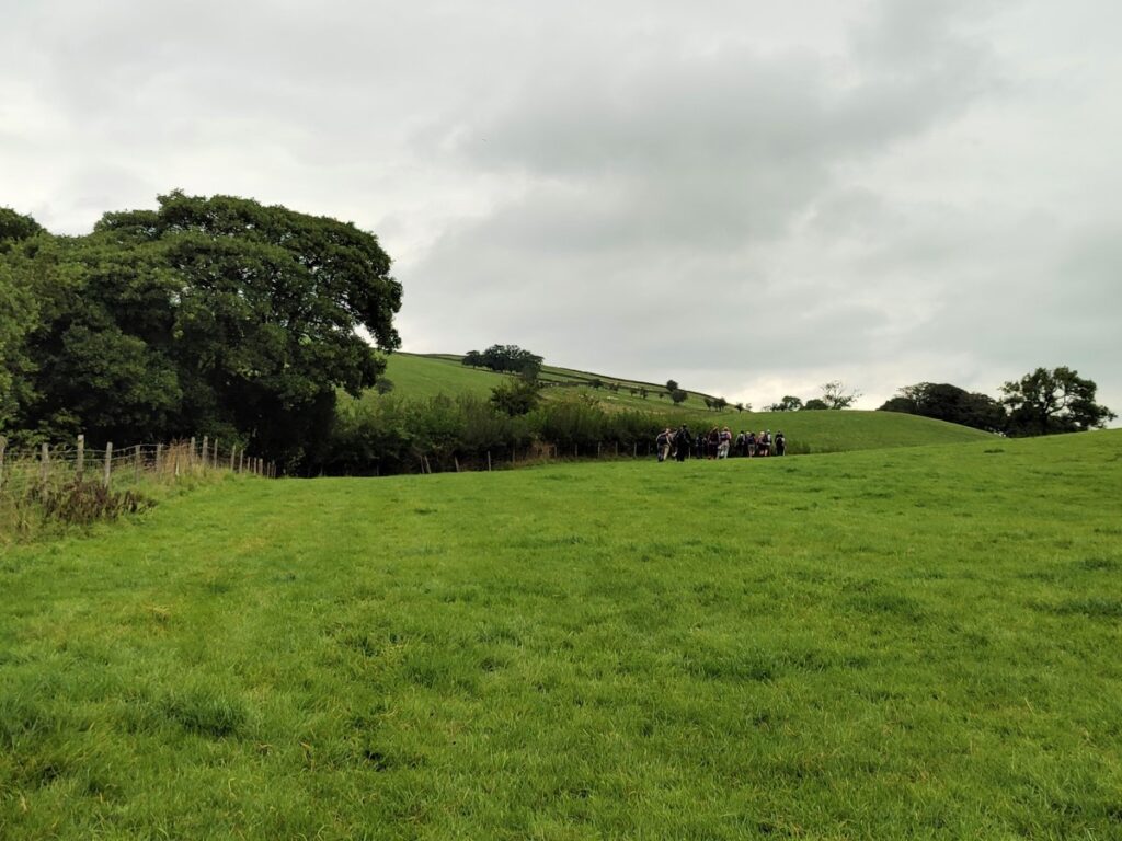
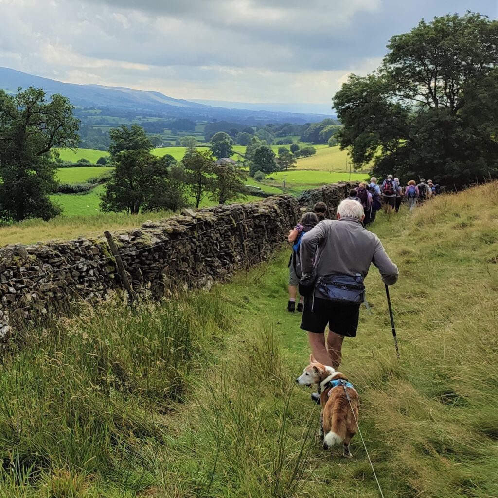
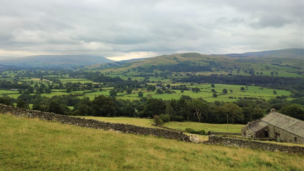
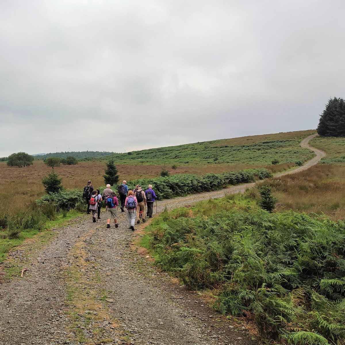
From the hall and the church, we continue up the lane heading toward a farm building, exiting out onto open fields via a well-tended garden. Once in the field, we head North and follow the line of the field boundaries gently uphill. As we do so, it is worth pausing a couple of times to look back at the view over the Lune valley toward Middleton and Barbon Fells – at this stage the Howgills are just beyond the top of the hill.
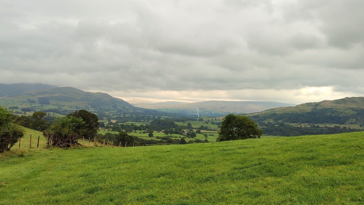
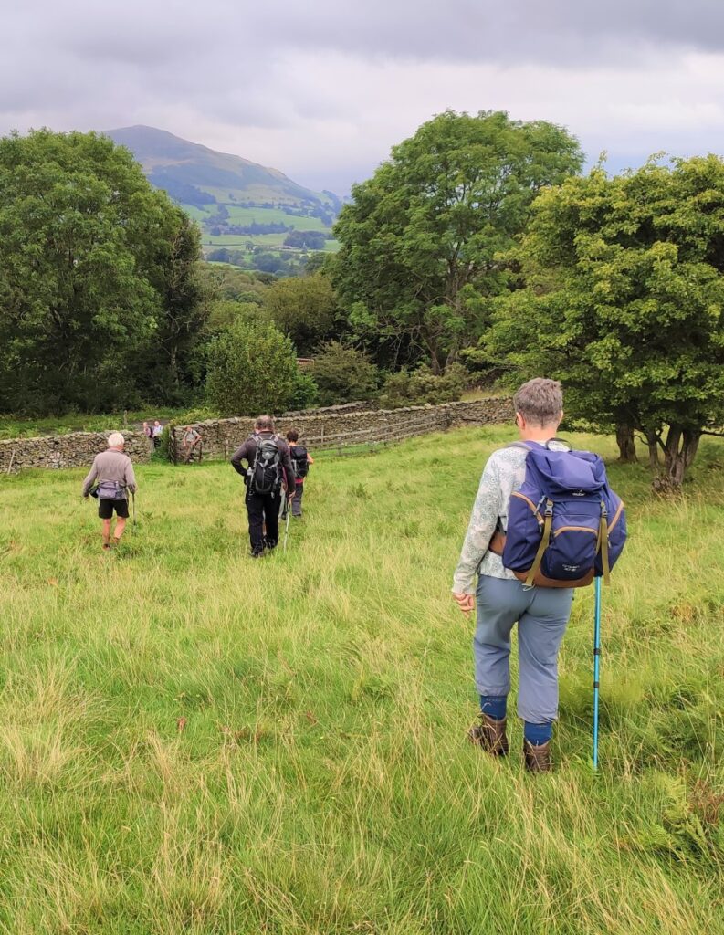
The path soon starts to veer right a little, and as we pass the peak of the hill (which we keep to our right) we get our first views over toward Sedbergh. We are now following a wire fence and need to look for a gate in that fence where we head left, to head across the field slightly uphill again, and still in a Northerly direction.
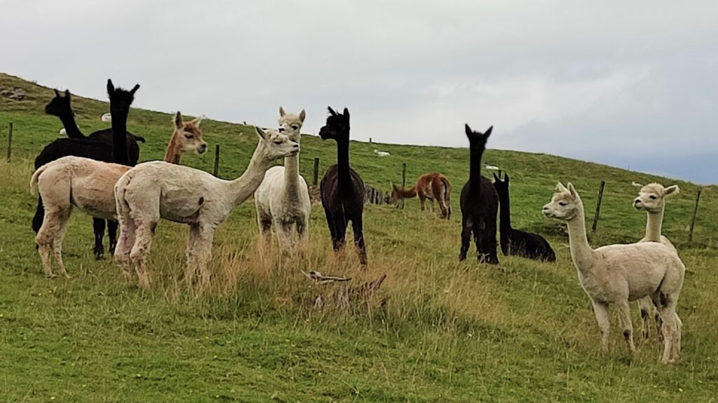
As we head uphill, we need to aim to pass to the left of a wooded plantation known as Lammas Plantation – not Llamas, although it is tempting to read the map that way as we are about to pass an alpaca farm.
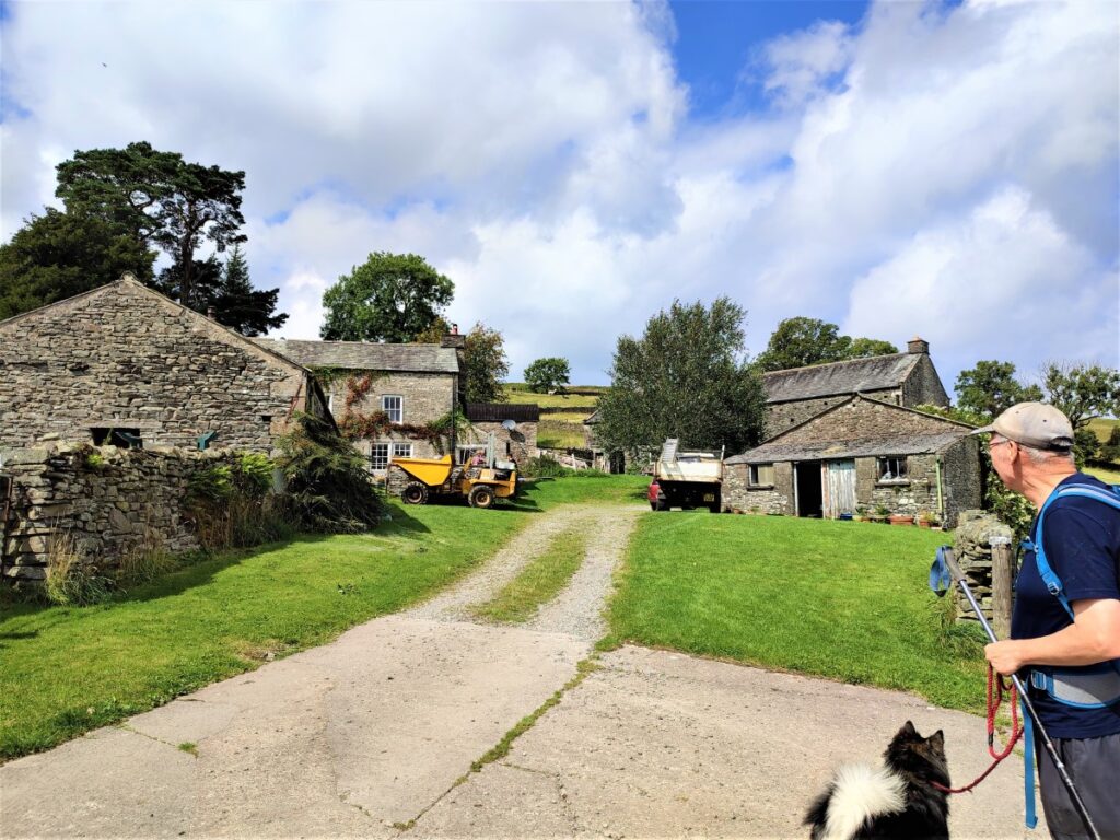
Once past here, we continue North with that farm now visible in the distance.
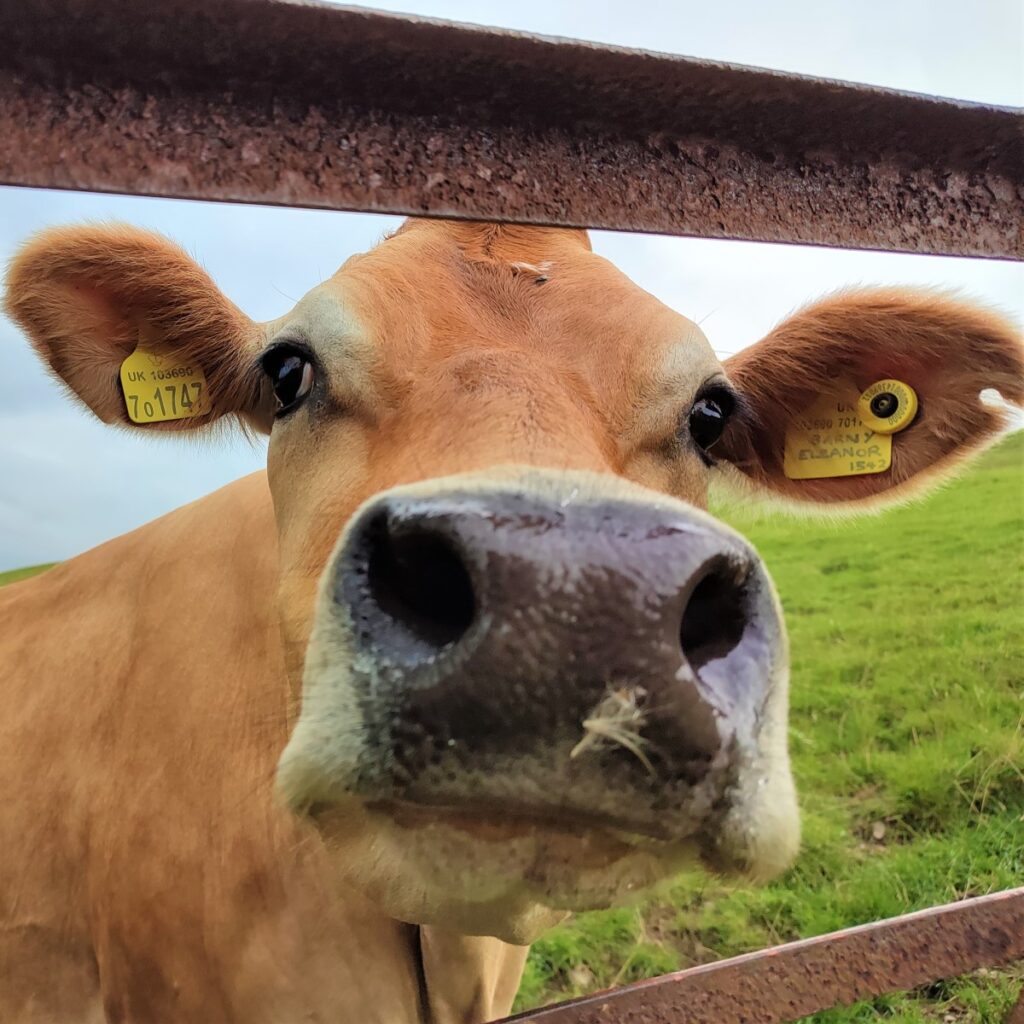
This is Greenholme farm, where Alpacas are farmed primarily for their wool – they also keep some particularly inquisitive cows – so take care if you are walking a dog.
The alpaca (Lama pacos) is a species of South American camelid mammal, so they are related to camels – and often spit like a camel. It is similar to, and often confused with, the llama. However, alpacas are noticeably smaller than llamas – and somewhat better tempered.

We head toward the farm, keeping the buildings on our right – note though that on the later stages of the walk we pass the farm from the other side, and there is a path through the farm enabling the pinch point of the two loops of the figure eight to be cut into two separate walks.
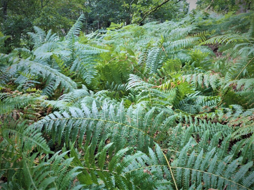
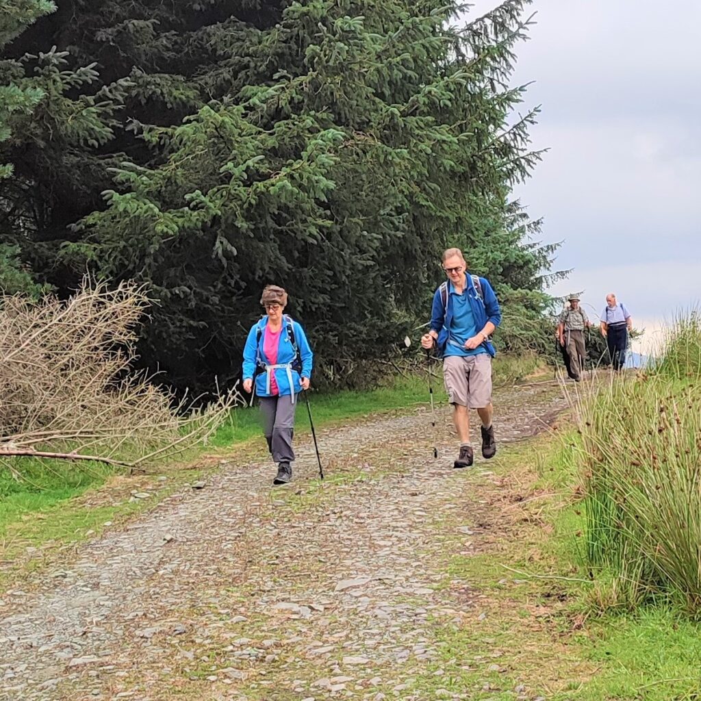
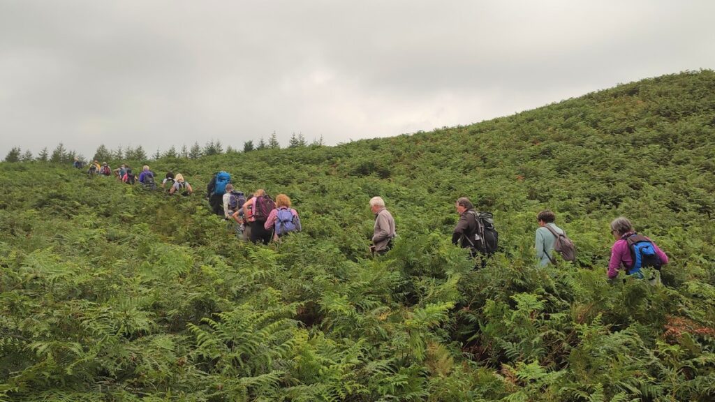
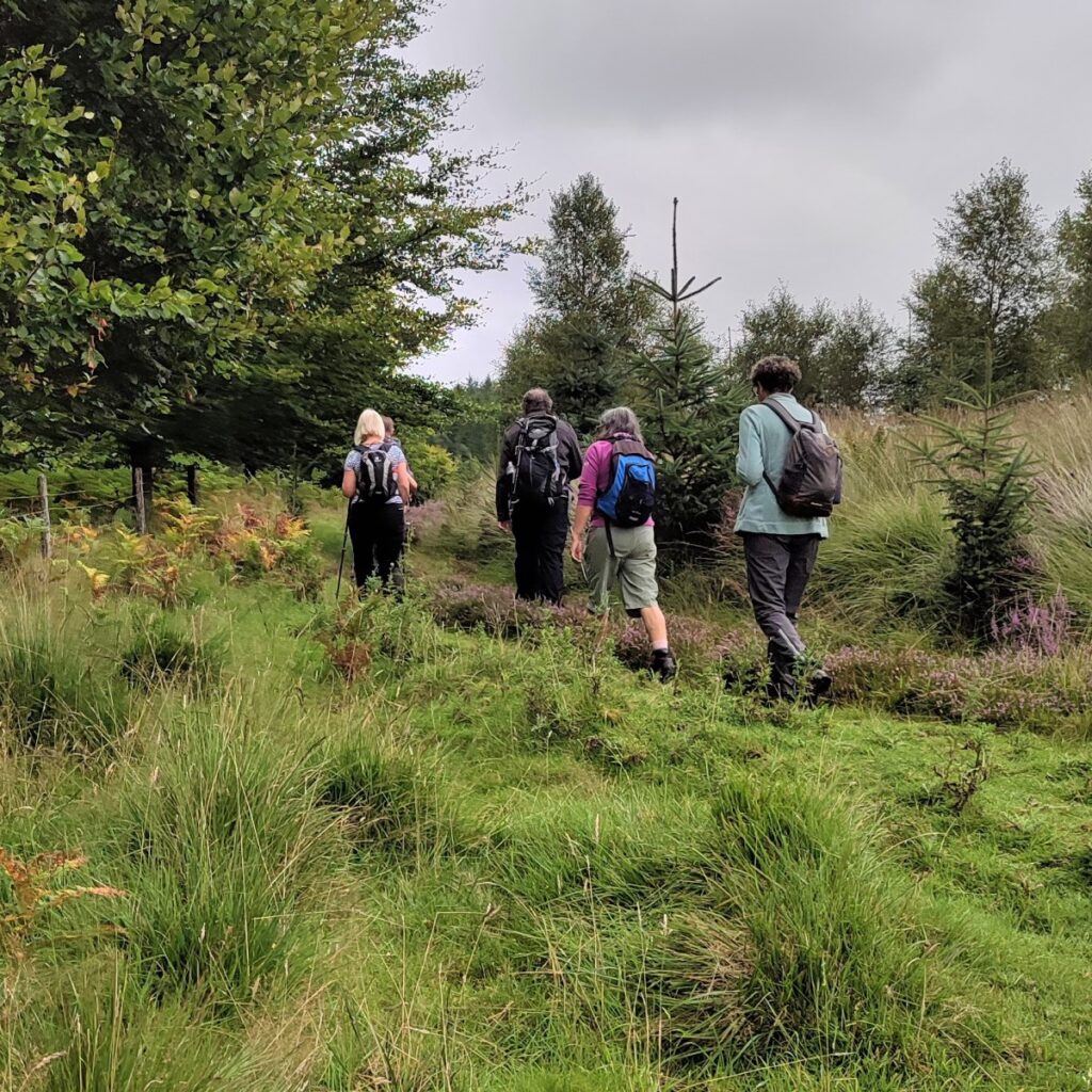
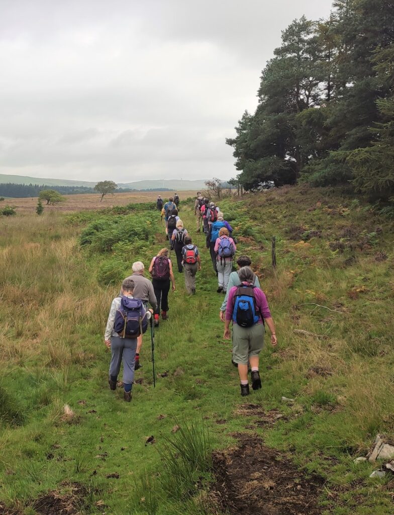
For now, with the farm on our right we pick up a rather stony lane and head uphill. The lane leads us to a crossing into more open land with profuse bracken growth to our left.
We walk along the track for a short while and look for a drystone wall where we head up into the bracken on paths that are easy to miss – so take care here.
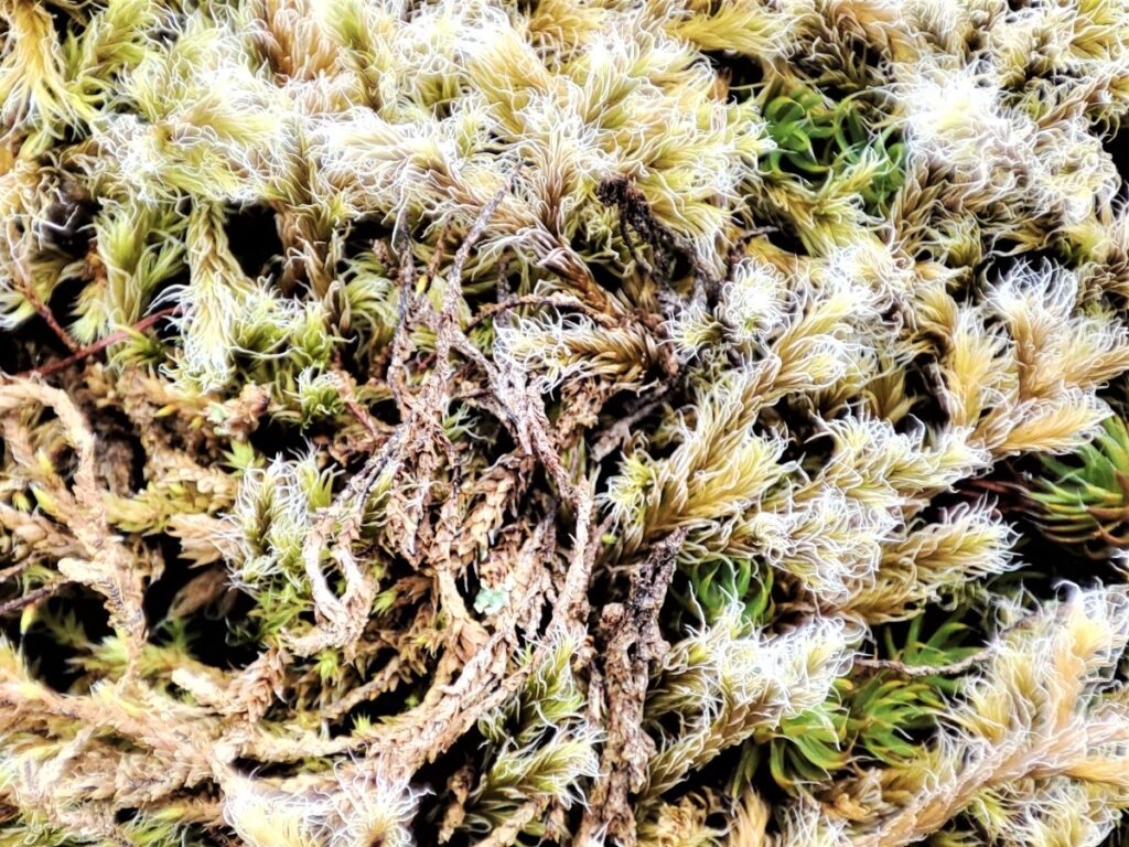
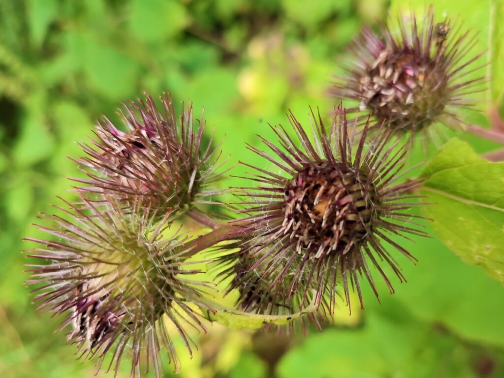
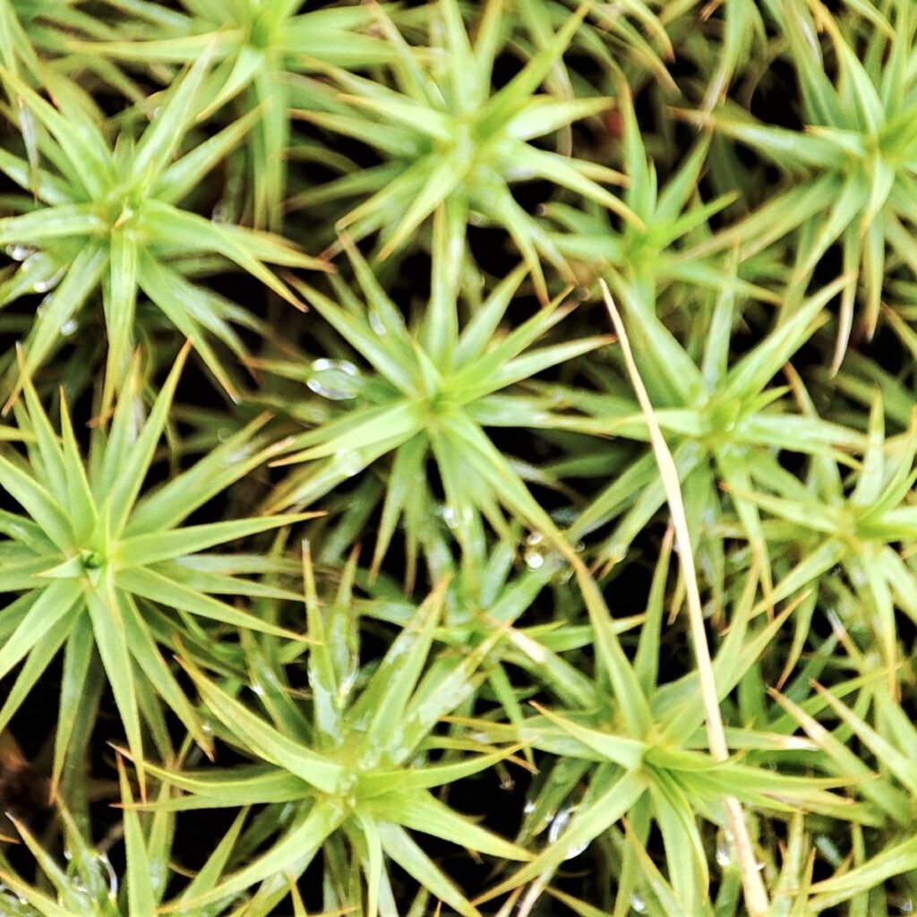
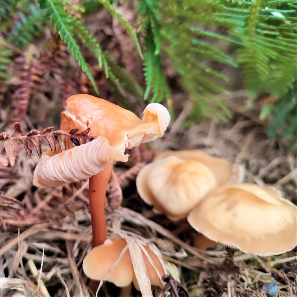
As walkers, we see so much bracken that it becomes effectively invisible, so its easy to forget what an interesting species this is:
Bracken is the largest of our native ferns. It’s actually a ‘Pteridophyte’ which means that whilst it has vascular tissue like other plants, it reproduces by releasing spores rather than producing seeds.
The leaves are large and deep green, with fronds which alternate down the stem. The fronds themselves are tri-pinnate, which means that the leaflets (smaller leaves) which grow on each side the stem are themselves divided into leaflets as are those leaflets.
New fronds unfurl from the base in the spring as a trio of small leaves or pinnules. The emerging “roll” is often referred to as a fiddlehead – because of the resemblance to a scroll on a violin neck.
Some cultures regard the fiddlehead as an edible delicacy, but consumption is now discouraged as the plant produces ptaquiloside, a suspected carcinogen: All cultures that consume bracken fiddleheads see high rates of stomach cancer.
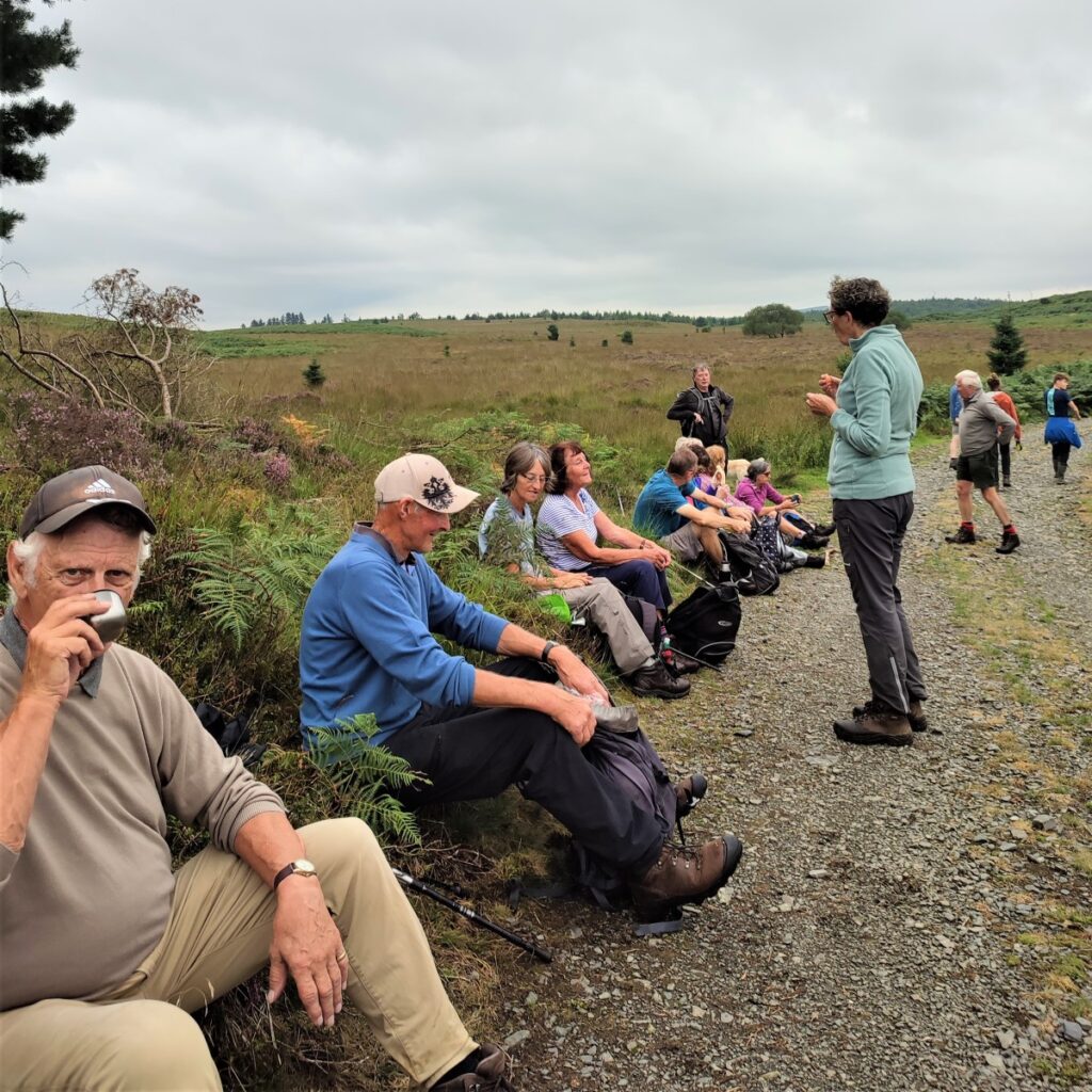
Our path winds its way uphill, and for the first time our direction is not to the North – we are now heading West to pass to the left of a plantation known as Hodgsons Hill. Here the path merges with a track which we follow up to a junction – most of the climbing is now done so this is a good place to take a break.
Suitably refreshed we press on taking the left branch at the junction to head West toward another plantation – this one is Greenham Moss. We skirt to the left of this – still on a clear track and then pass to the right of a third plantation (un-named) before the track takes a hard left turn and heads downhill.
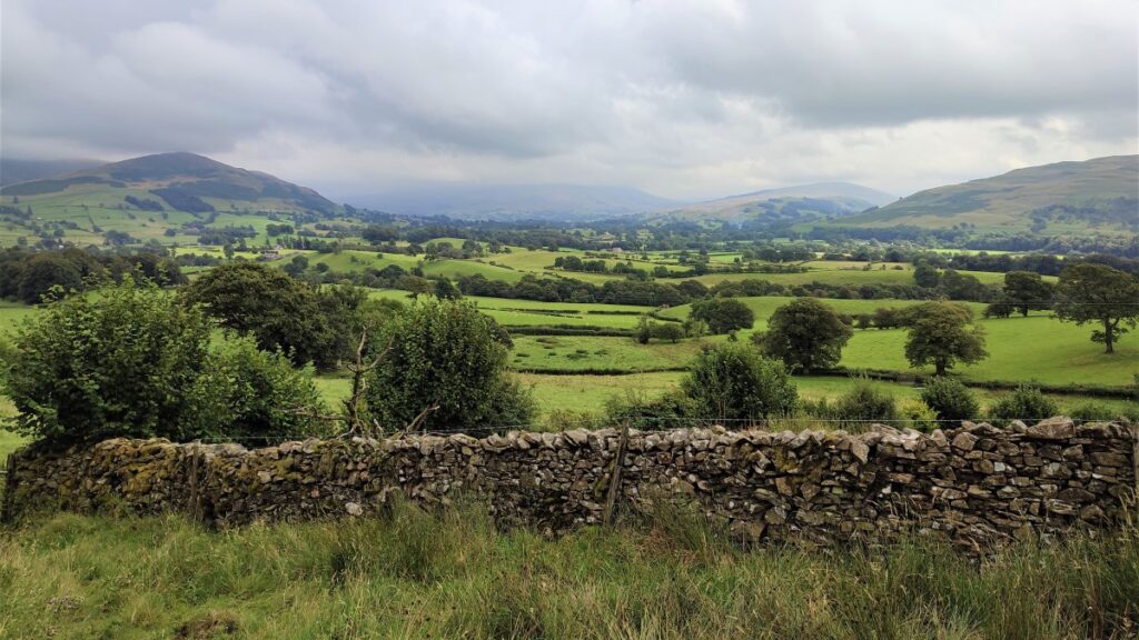
As we follow the track round, we can now see Killington Reservoir in the distance. Although used now primarily for water sports, Killington Reservoir was originally built in 1818 as the main source of water for the Lancaster Canal. Two earth dams were built to cap the valley ends and impound 3,236 million litres of water presenting a surface area of 58 hectares.
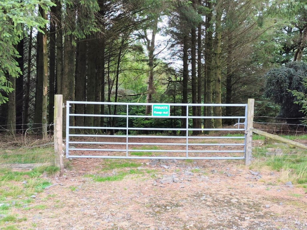
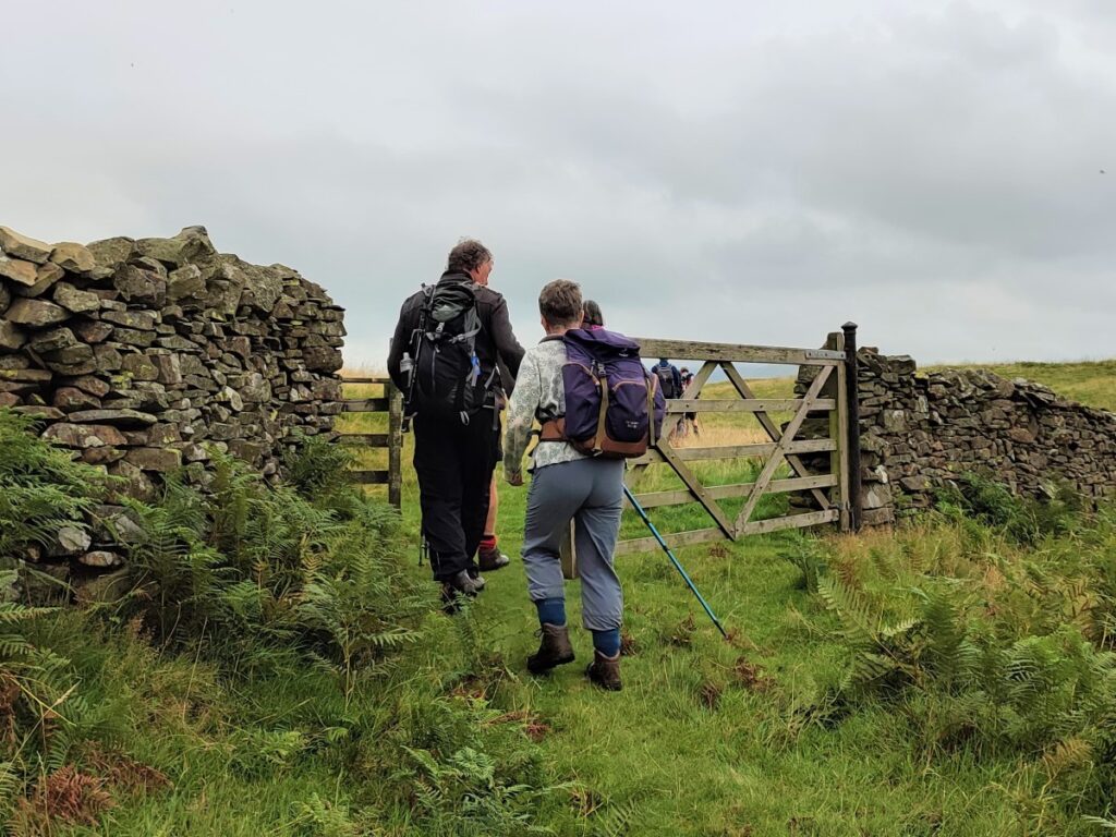
We meet another track and take right at the junction to cross Hall Beck and head North again until we meet a gate advising us that the land ahead is private – we therefore turn right along the boundary keeping on the accessible side of the fence.
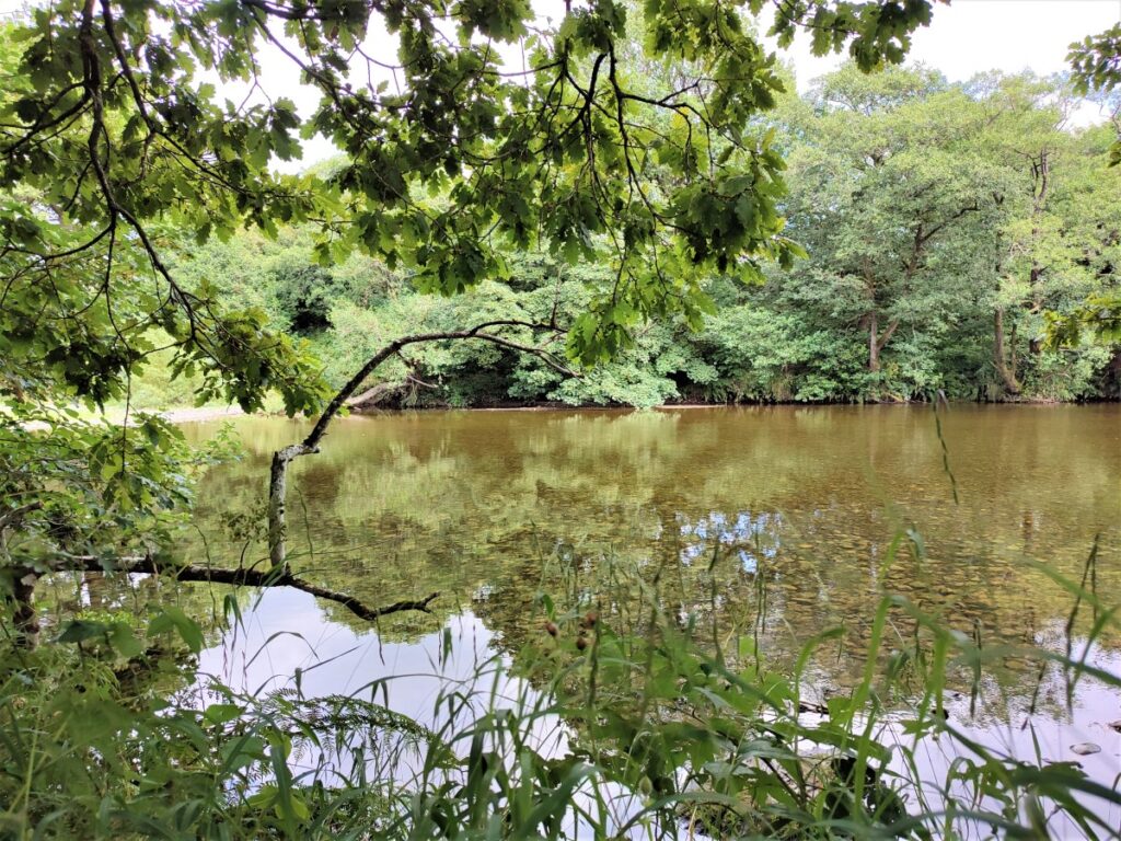
Beyond the gate and to the left of the fence as we follow it round is Lily Mere, a private estate. This is apparently for sale having been re-possessed part way through the construction of a large house.
As we follow the fence round the side of Lily Mere, we eventually arrive at a gate giving access to open moorland. Once through the gate we head Northeast and soon find a fingerpost offering two routes onward. We take the path to the right which heads down to the A684. The paths should be clear, but if in doubt look forward and spot the hill to the left of Sedbergh – this is Winder, and head toward that.
We now head downhill and meet the A684 at the corner of a field – if you are not in the corner you took the left hand path at the previous fingerpost, so continue along the inside of the wall until you find the field corner.
We now turn right and walk downhill along the verge of the A684, we are on the road for just a short while – but care is needed.
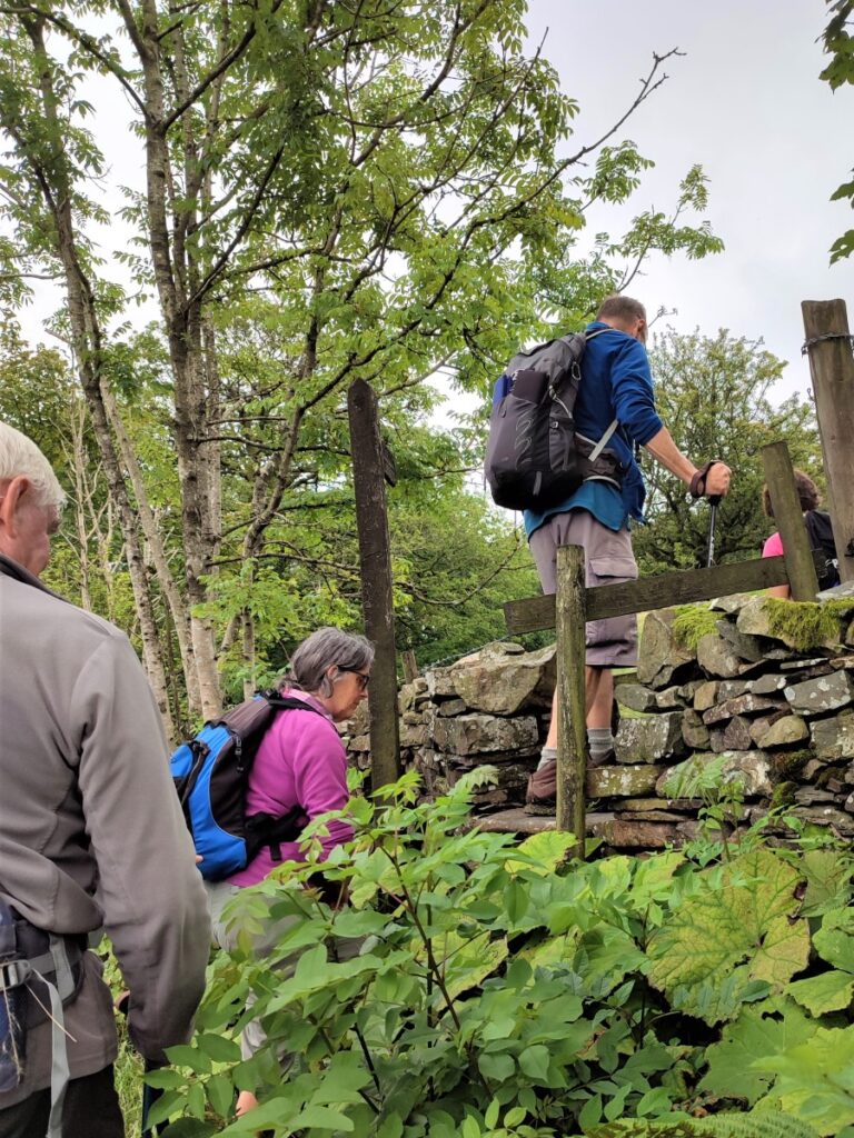
Look out for a signed walk on the right hand side where we cross a drystone wall and head off south keeping the wall on our left.
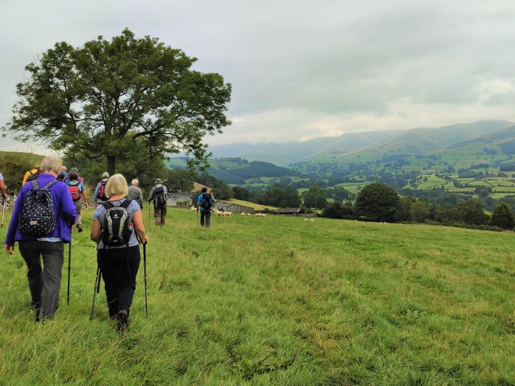
We now head consistently South tracking along the contours of the hill – generally with drystone wall on our left beyond which great views over to Howgills are seen. We soon find a commemorative bench placed at a location where the views are particularly good, and here we break for lunch.
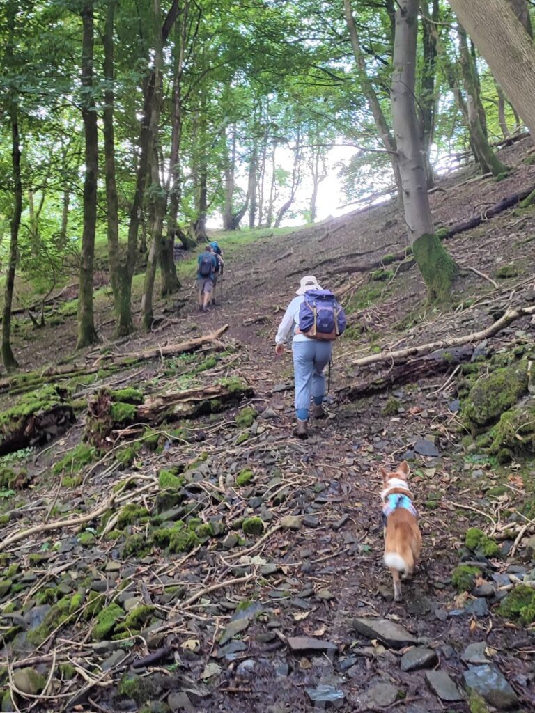
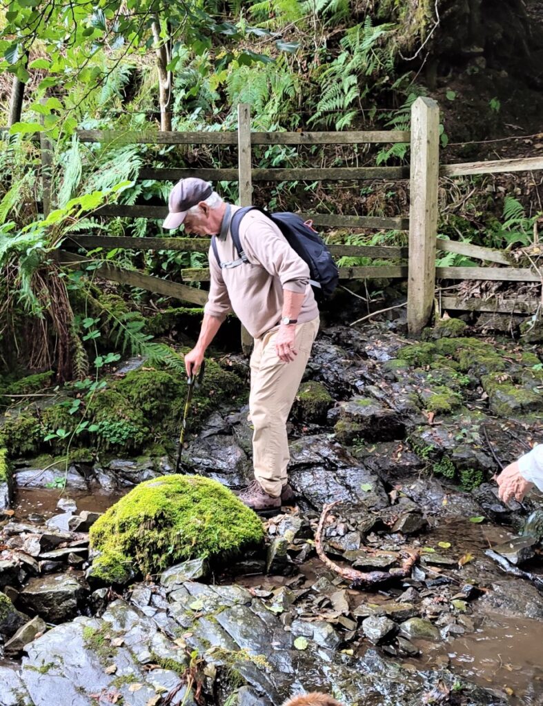
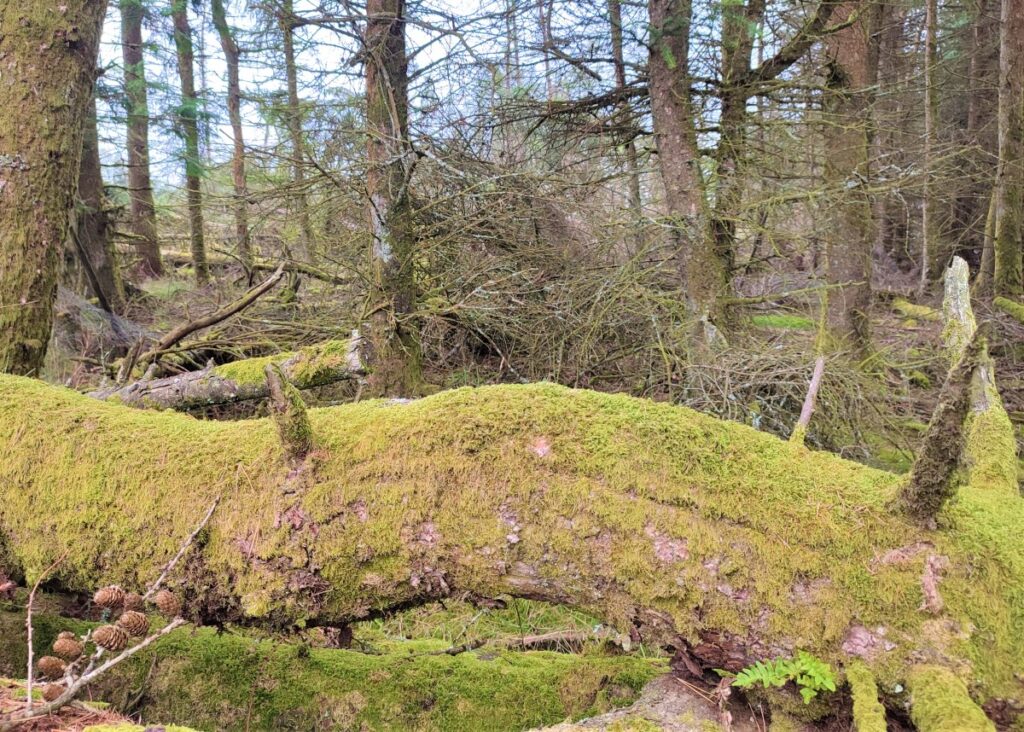
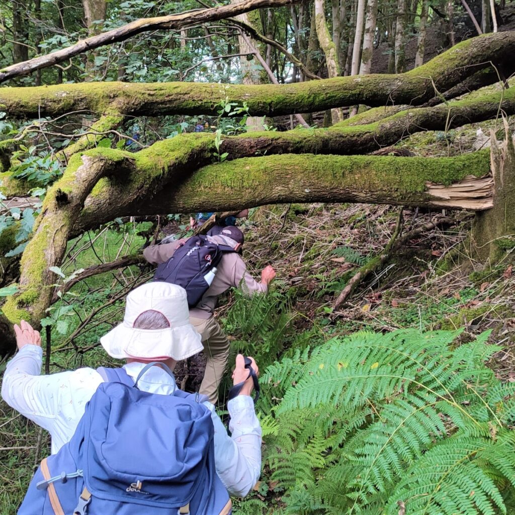
As we continue, we need to pass through a number of locations where storms have felled trees and the path is partially blocked – some limbo dancing skills come into play here.
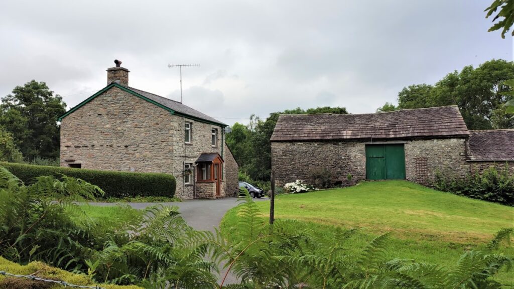
The path enters an area of woodland known as Cowby wood, and we start to head uphill. At the far side of the wood, we enter farmland again and head toward the farmhouse at the far right corner of the field. This is Greenholme Farm again.
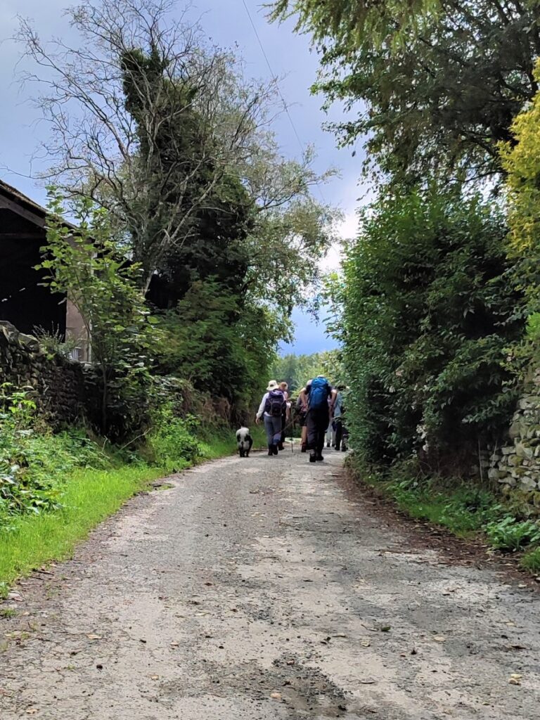
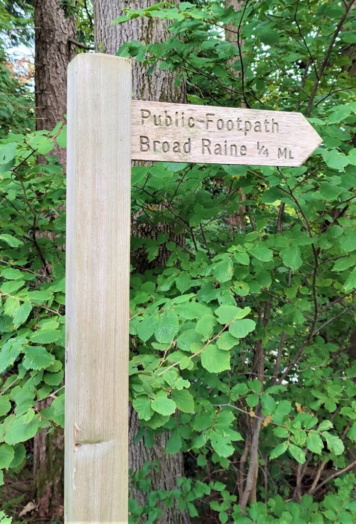
We now walk down the lane and away from the farm taking a sharp left turn to follow the track downhill to a minor road at Bowersike. Here we take a right onto the road and almost immediately arrive at an angled T-junction. We take the road to the left, almost heading back on ourselves, and continue – looking out for a footpath side on the right of the road.
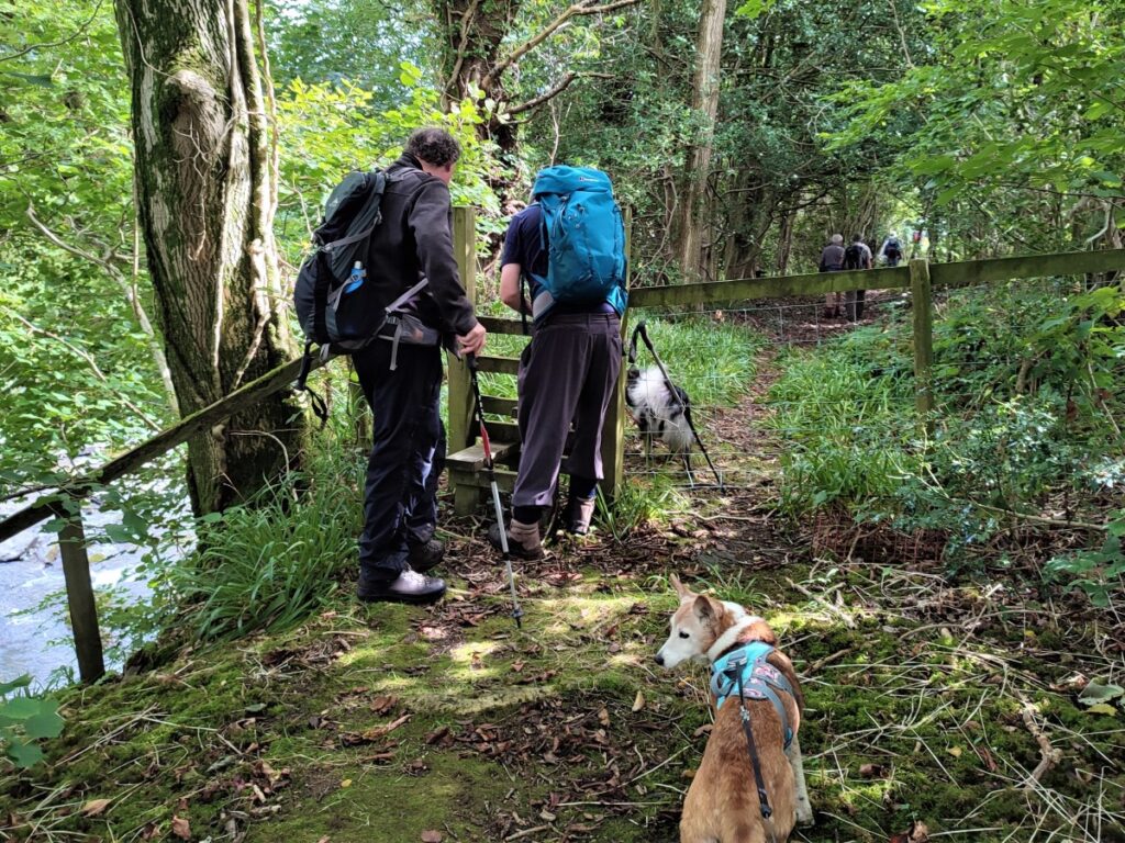
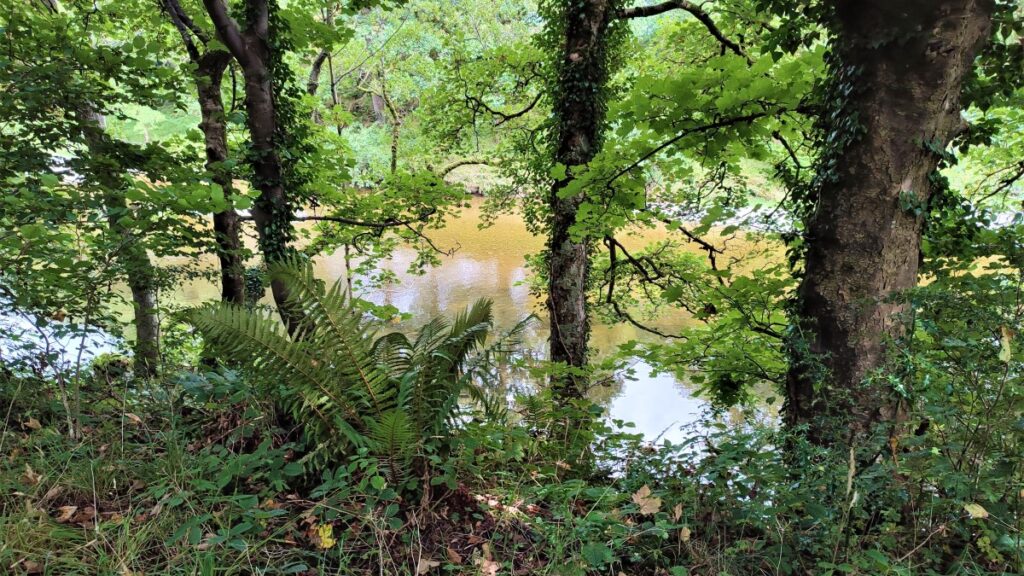
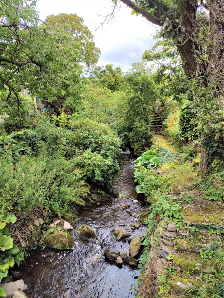
We take the Broad Raine path which leads down to the banks of the river Lune, which we follow downstream for a while.
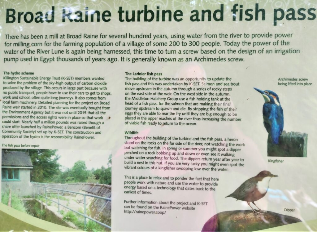
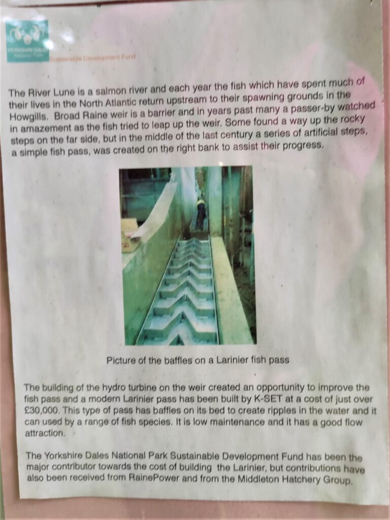
Fairly soon we arrive at Broad Raine Turbine – a local hydroelectric scheme.
The 35kW hydraulic turbine is built on a weir that is at least 150 years old, but which up to recent times has been maintained by the Environment Agency.
The weir originally existed to supply water to a wheel at the flour mill which ceased to operate in the 1970s. The mill is part way through conversion into a dwelling.
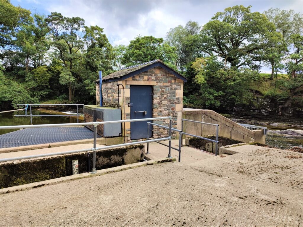
The river Lune which runs from North to South at this point changes from being a wide gentle river to become a narrower faster stream that cascades over rocks through a narrow gorge. Salmon migrating upstream from across the Atlantic in order to lay their eggs in the upper reaches of the river negotiate the weir either on the east bank by a series of natural rocky steps or on the west side by a fish-pass built in the last century.
The Environment Agency use the fish-pass to monitor the size of the salmon moving upstream. Adjacent to the fish pass is a small building which housed the monitoring equipment. There is also a large fish holding tank where during the latter months of the year the spawning salmon are captured, and their eggs extracted and fertilised.
The fry are then reared with a much higher survival rate than would occur naturally and re-introduced into the waters of the upper reaches of the river. This is done by the volunteers of the Middleton Hatchery Group.
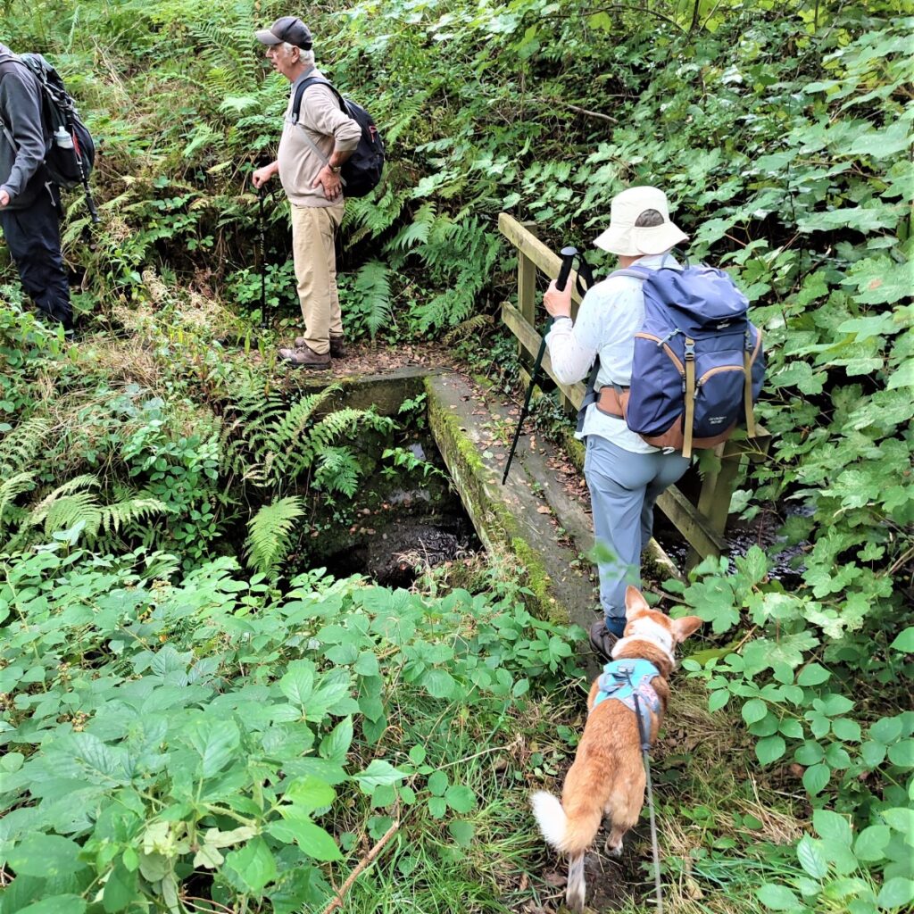
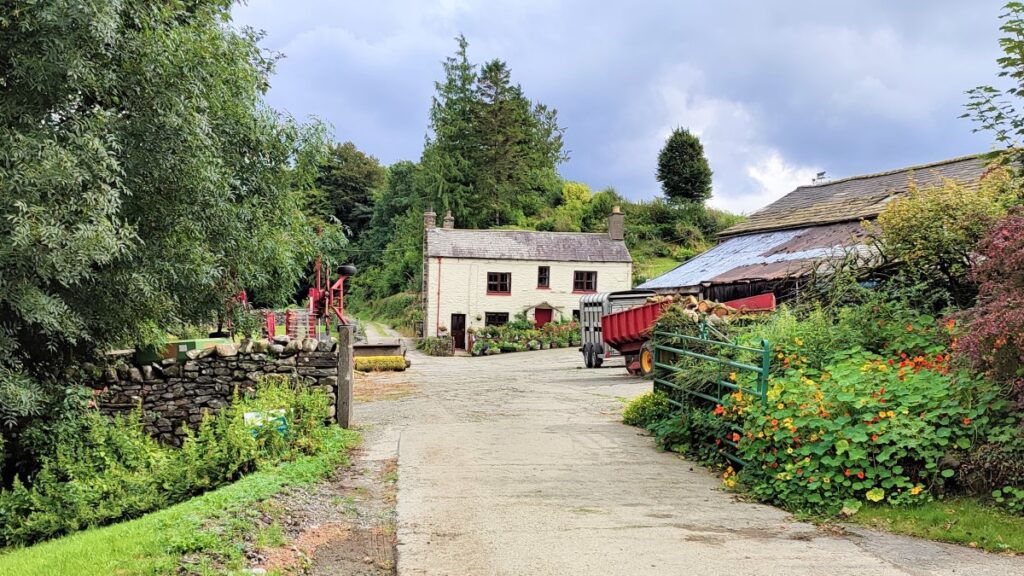
Beyond the part converted mill, the path stays with the riverbank – via a stile at the end of a well mown area of grassland. It may feel like you are walking through a residential garden, but this is the right way.
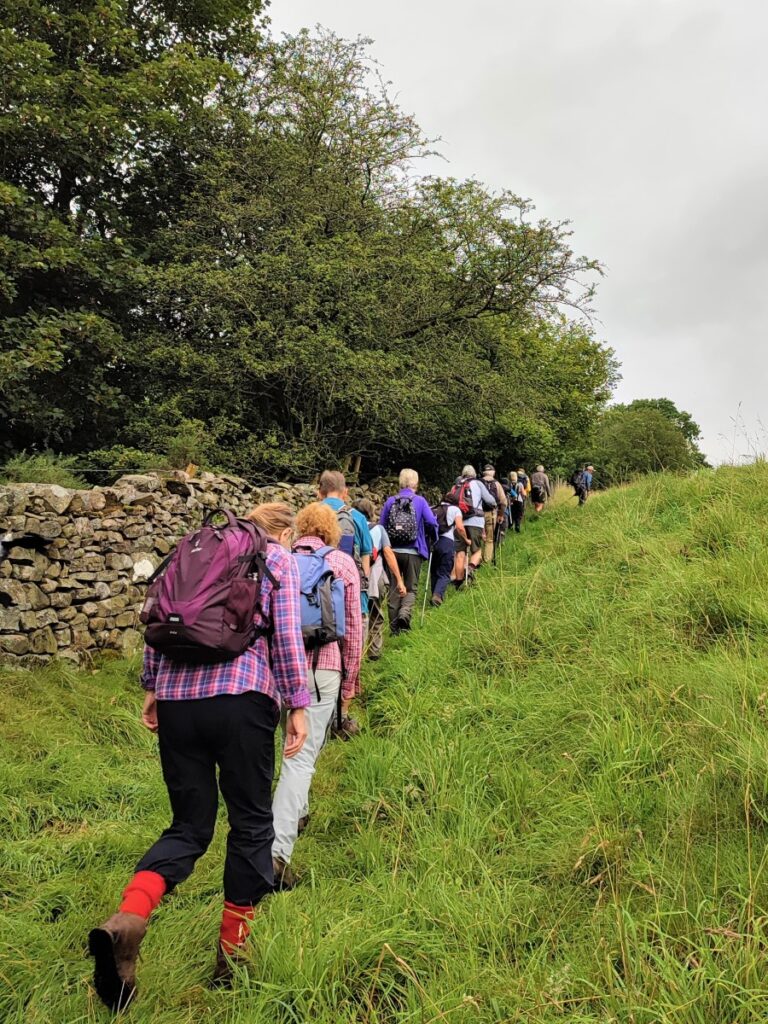
We continue on along the riverbank, until we meet a track. This takes us past a group of pretty farm buildings where we continue from the river and up through fields to a minor road.

As we arrive at the road we see a junction – we take the road opposite which is in effect a continuation of the track we have been following. This leads us straight down to Killington, where we end the walk.
- Total distance 11.6 km (7.2 miles)
- Total Ascent 435 m
- Easy walk