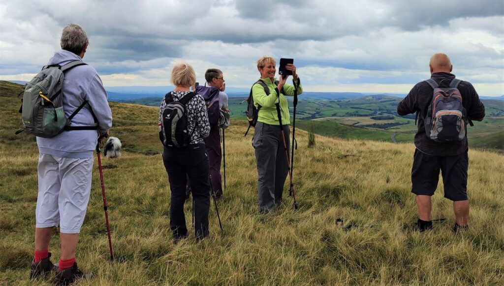
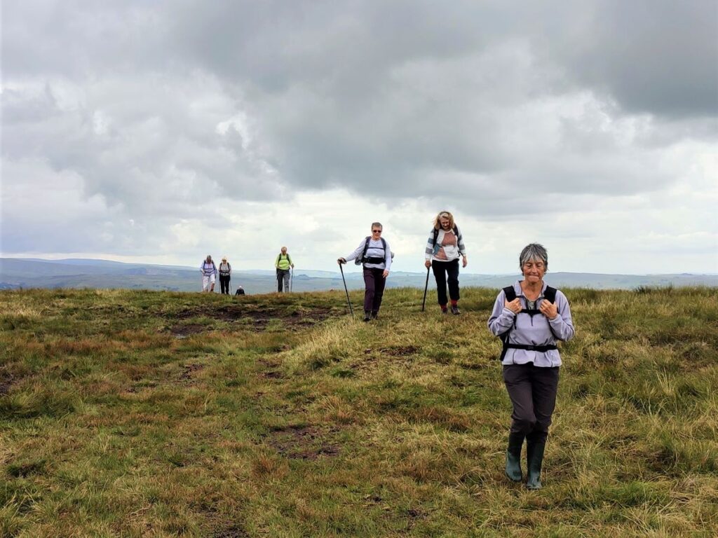
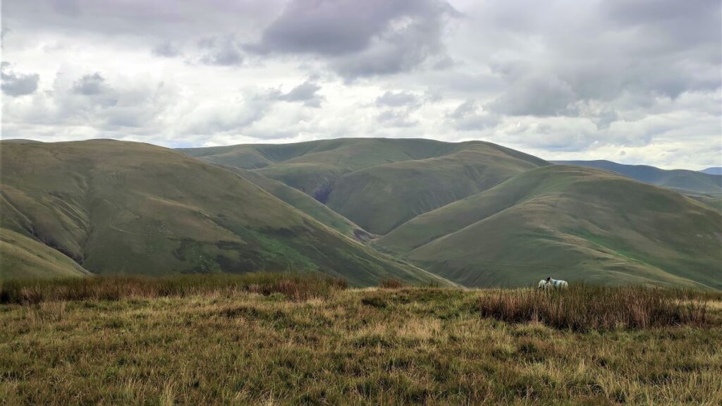
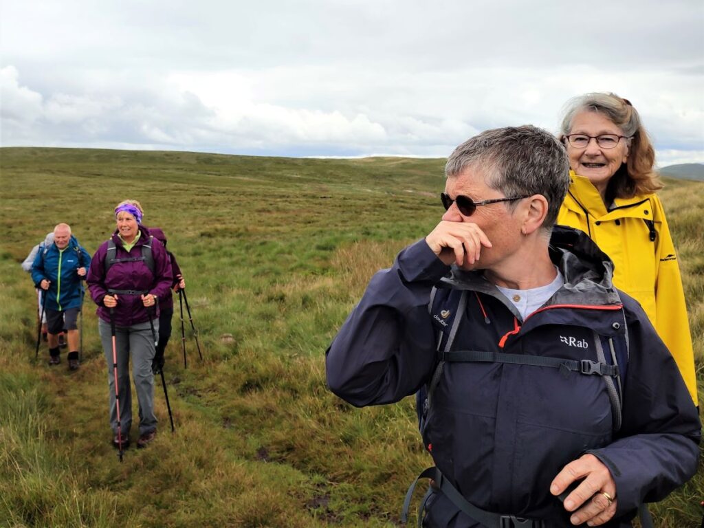
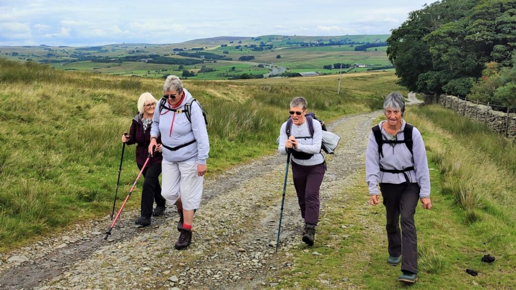
The Howgills are a great place to walk – and a firm favourite of the Bentham Footpath Group. The hills here are formed from Ordovician and Silurian rocks, rather than the Carboniferous limestone elsewhere in the Yorkshire Dales, giving them a characteristic rounded appearance and a lovely velvety texture.
The Howgills are found in the triangle between Sedbergh, Kirkby Stephen and Tebay, and its to the latter that we go for this walk.
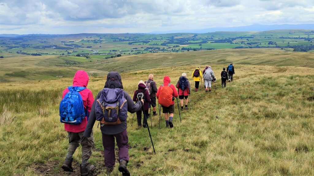
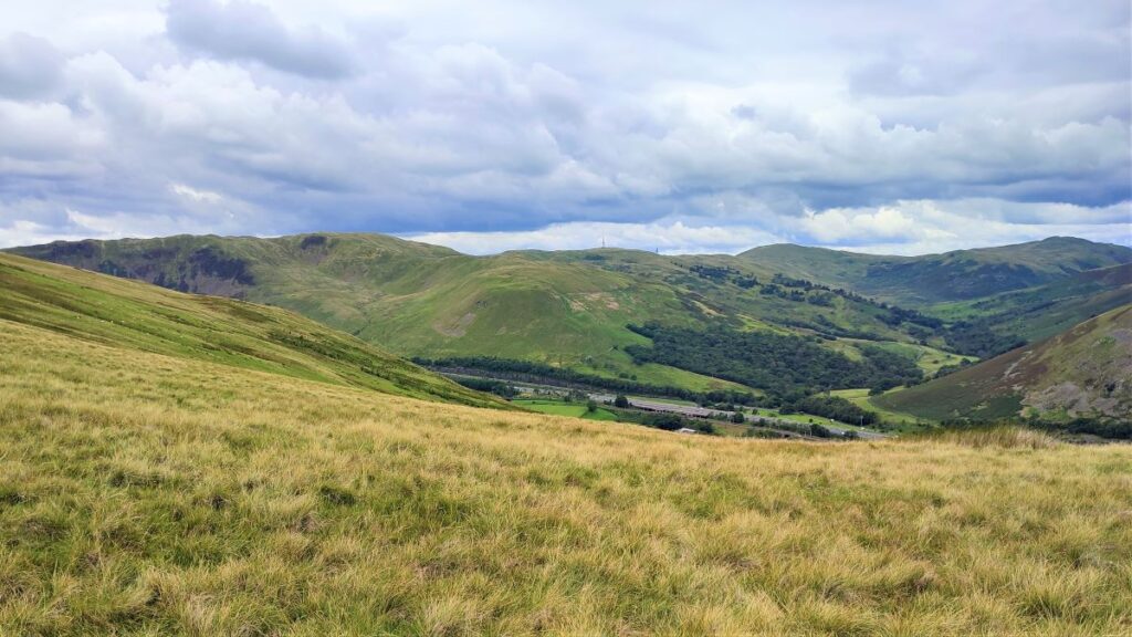
We start in Tebay village, and then head up onto the hills following the edge of Tebay Fell to the south with great views over the valley to Borrowdale until we get to the peak of Blease Fell where the vista down the Lune Valley as far as Morecambe Bay makes the climb seem well worthwhile. We then head round the fell, and back over a flattish top via Hare Shaw cairn, Weather Hill, and Waskew Head to cross Tebaygill Beck at a picturesque stone bridge, before returning to Tebay.
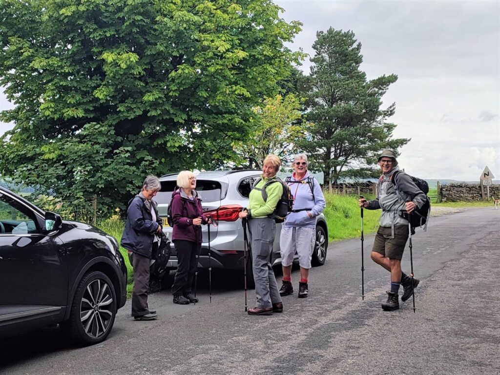
We start at Tebay village. For most people this is best approached via the M6 – a motorway that we see again during the course of the walk as it snakes down the Lune Valley running parallel to the railway line.
Take junction 38, which surprisingly is not signed for Tebay – perhaps to avoid confusion with the services which are North of the junction – so look for Kirkby Stephen on the sign, and then follow the slip road round to the roundabout where Tebay is the third exit.
Head uphill for no more than 300m and then as the road veers right, take a left turn into Orton Road where on-road parking near to the playground or recycling centre is generally available. For those using satnav, then the postcode is CA10 3TP. If you prefer paper maps then the grid reference is NY361954504546 whilst the what-3-words tag tanks.departure.streetcar pinpoints the parking area.
Incidentally, on the journey here, look to the right as you peel off the M6 where the slip road circles round, and you may spot the confluence of the River Lune and Birk Beck. There is a prominent mound here and this is the remains of a 12th century Mote and Bailey castle called Castle Howe (not to be confused with Catle Howe in Kendal). For more detail click here.
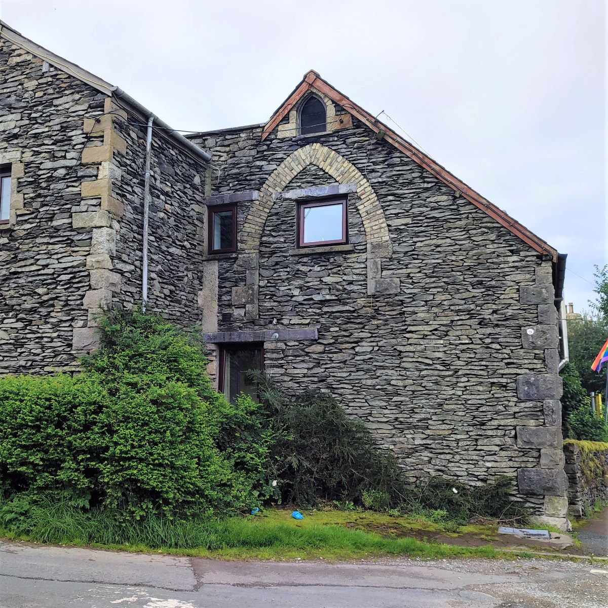
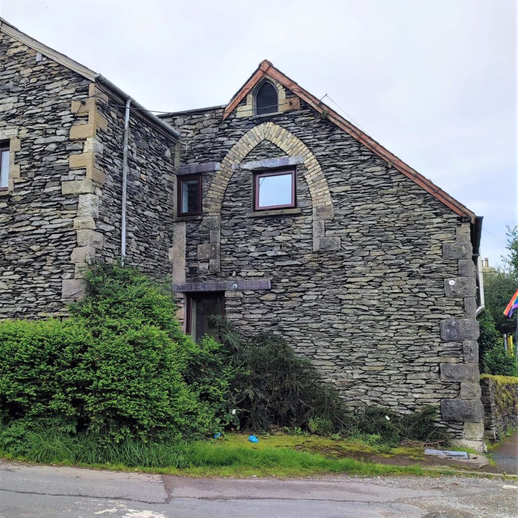
From the parking near the recycling centre, we start be heading beck toward Tebay Village. Ahead of us on the left hand side of the road is an interesting building with a prominent archway. This was once a school, but now operates as a B&B. We need to head up the lane just before the Old School, passing a row of garages as we approach a cattle grid.
Beyond the cattle grid the small, metalled road heads uphill to a fork where we take the right hand option – the left hand route is a private drive to Edge Farm.
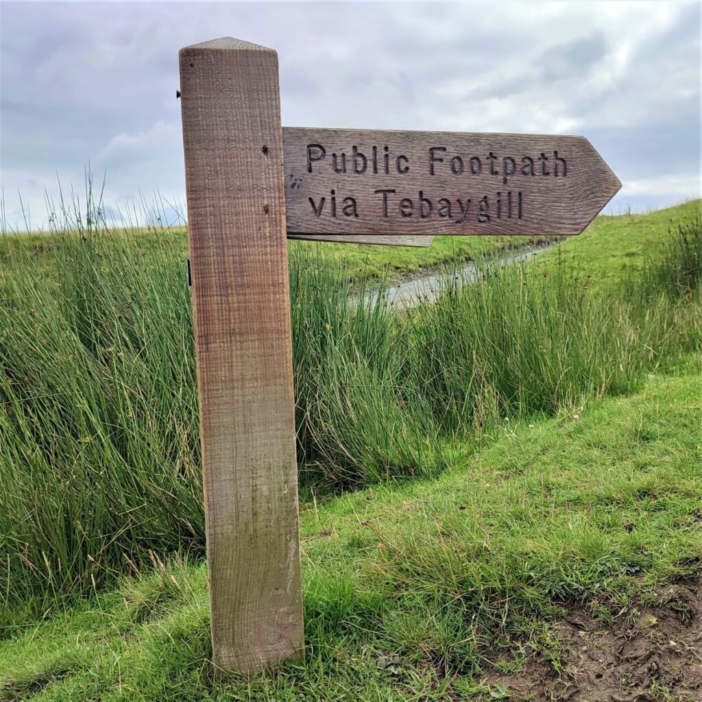
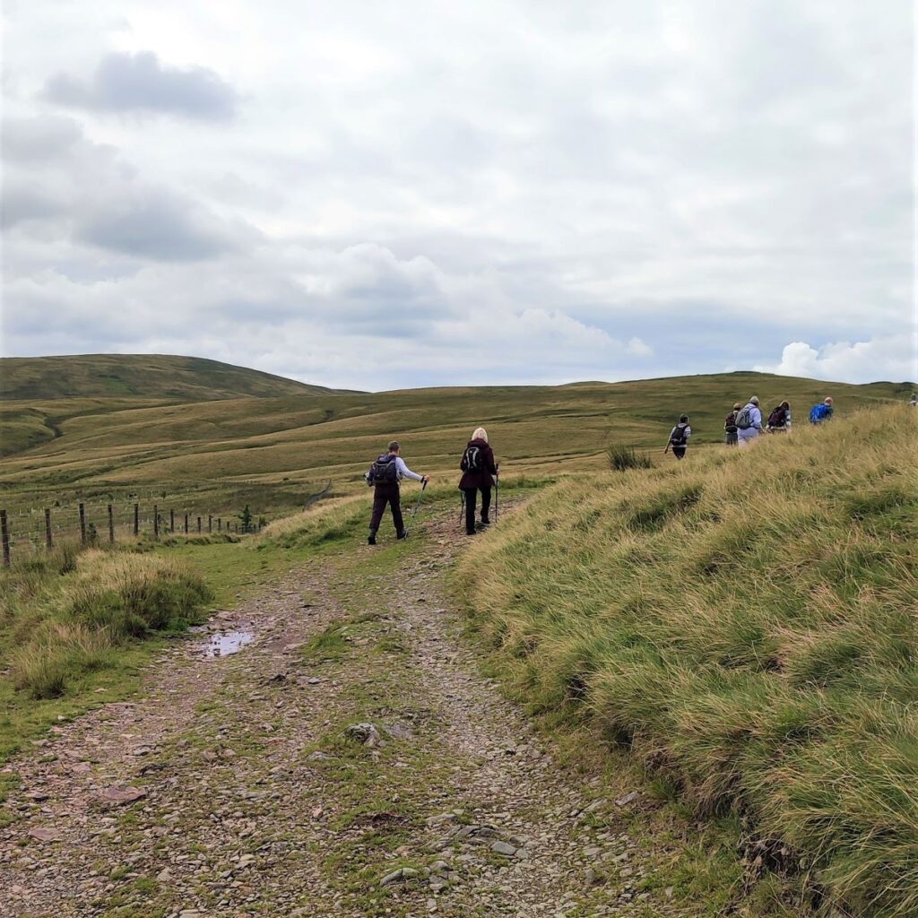
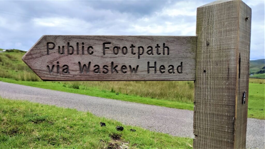
We carry on climbing and heading South until 50m later we find another fork, this one with a curiously short footpath sign offering us two options. To the right, the path goes up to Tebaygill, whilst to the left there is a path to Waskew Head – this is our return route so ignore that for now.
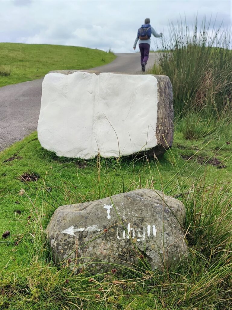
Beyond this there is yet another fork – left this time past the white painted stone following the hand painted indication to Tebaygill: Incidentally, there seems to be flexibility about the spelling of Tebaygill. The OS map indicates it as all one word (like the sign here) at the downstream section but uses Tebay Gill further upstream. Take your pick.
We head up the lane (still a metalled road) for a while now. As we climb though, don’t forget to look back, as the best views are at this stage behind us with fine views over to the quarries at Shap.
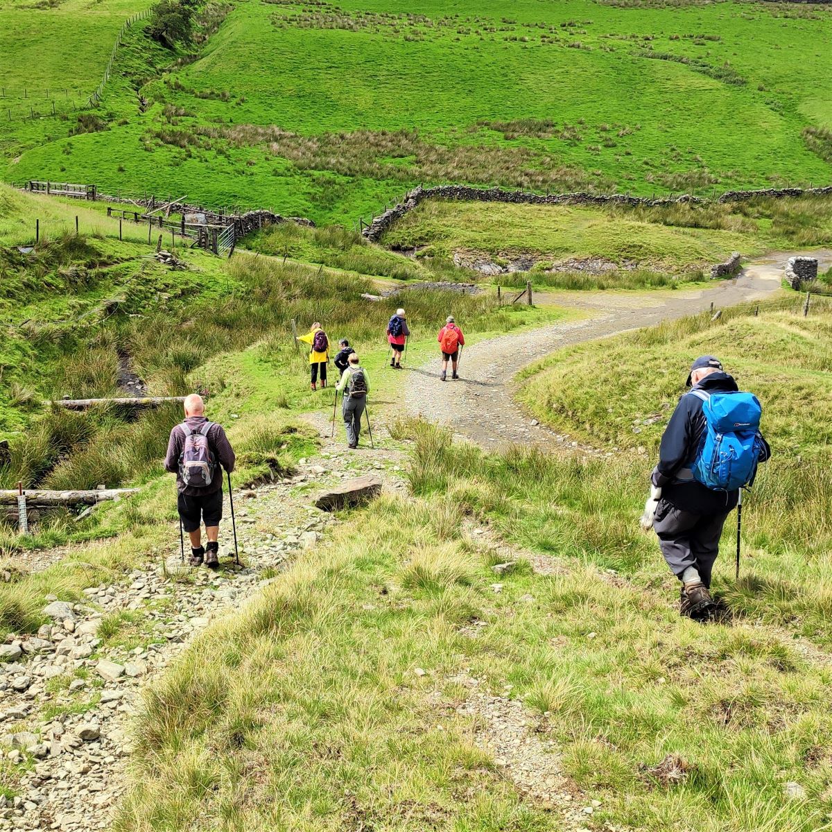
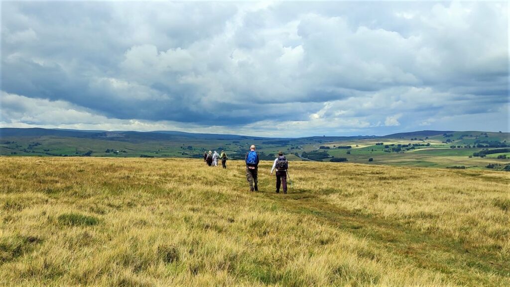
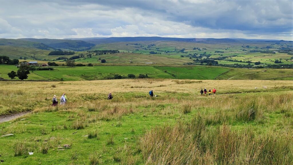
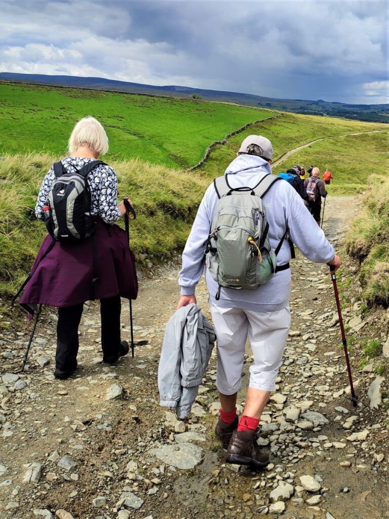
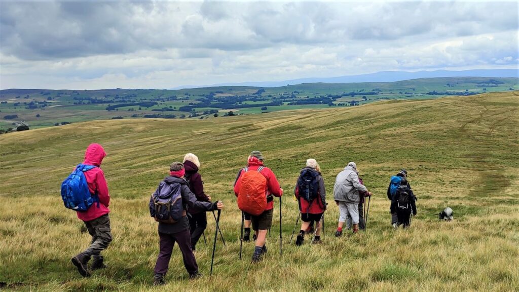
Before long we arrive at a farm where the metalled road ends to be replaced with a gravel track which continues up onto the moorland. Although navigation is still simple at this point, we need to be aware that we are now on Open Access Land and that there are a myriad of paths, quad bike tracks, and sheep trods that we might be tempted to follow. We recommend therefore that you use the GPX data which you can download from our website to check you are on the suggested route.
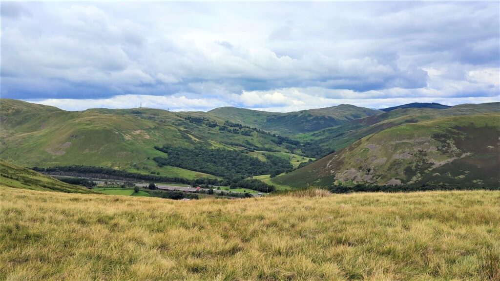
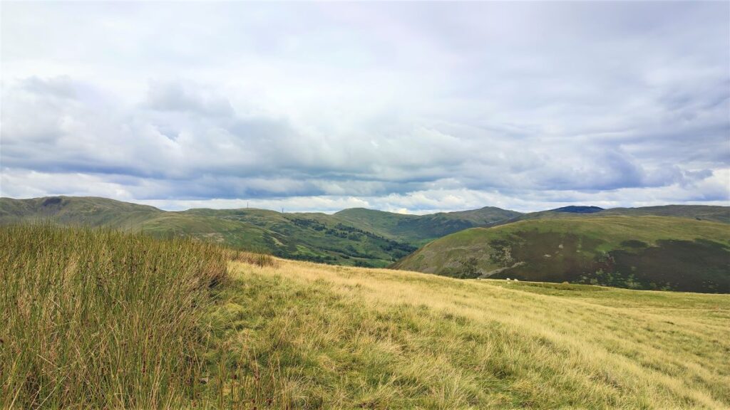
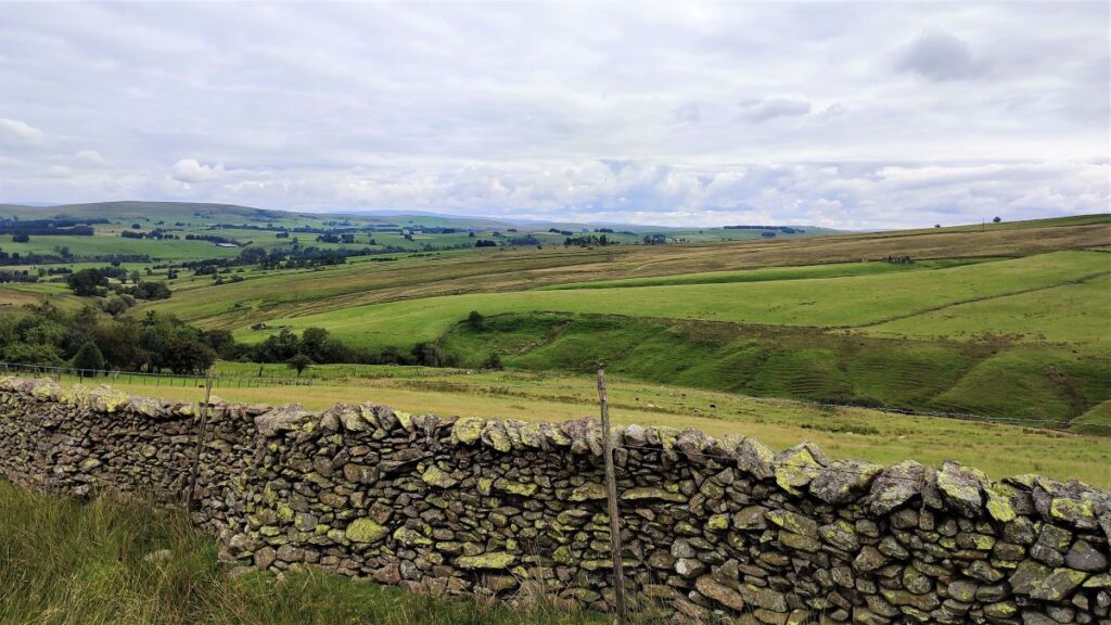
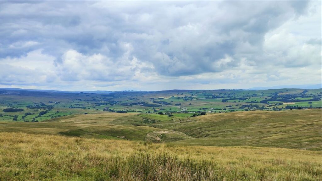
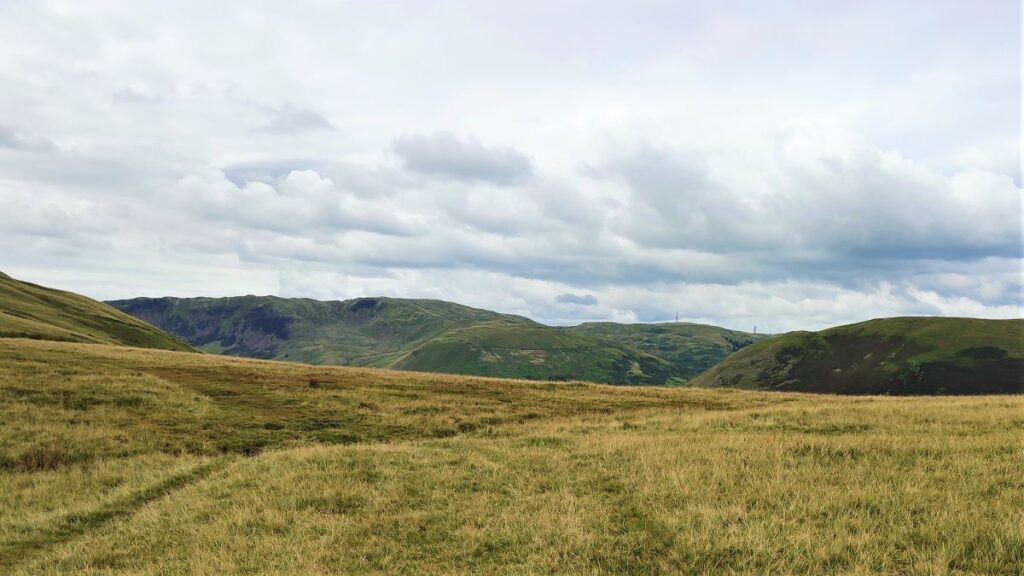
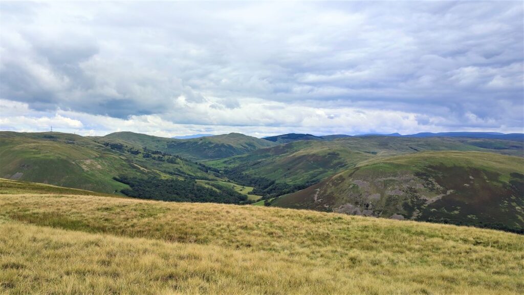
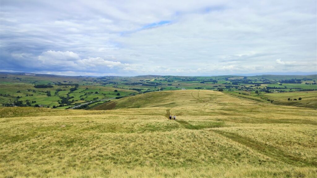
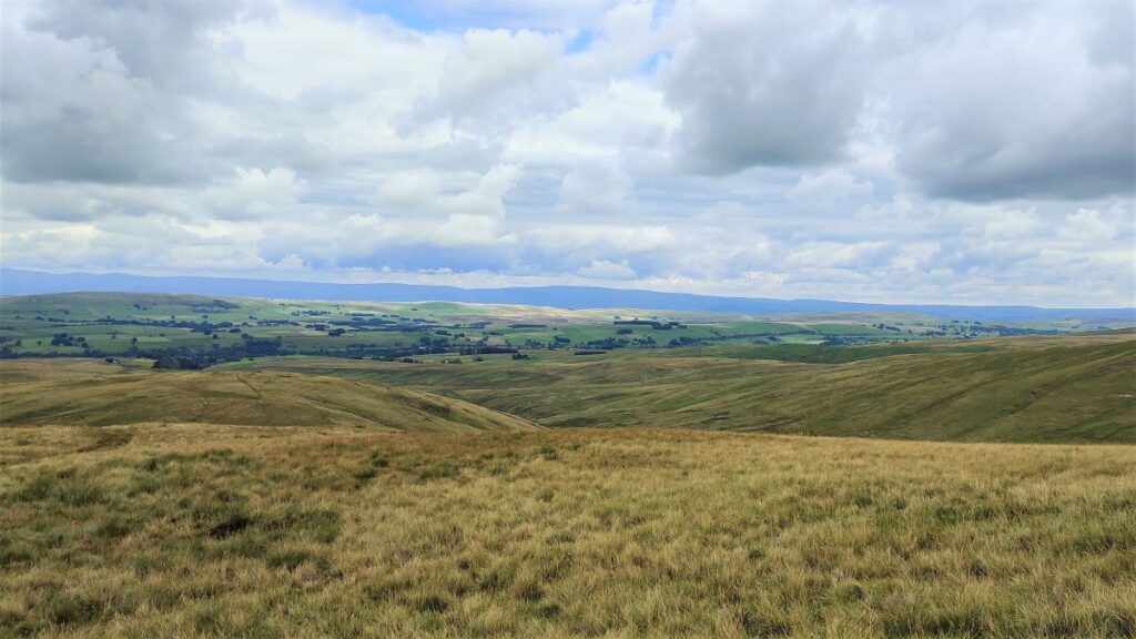
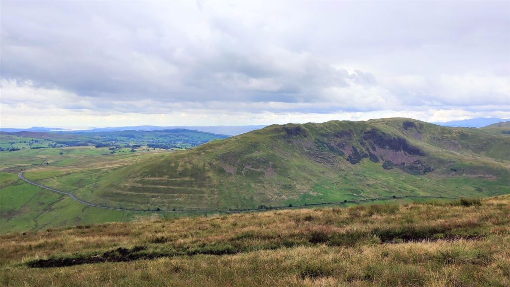
We carry on uphill and note that about 400m south of the farm, the track forks again. We take the route to the right which heads south to a small intermediate peak at 374m – this is Powson Knott, a good place to pause and enjoy the views across the valley toward Jeffrey’s Mount which from this perspective is the right hand side of Borrowdale.
Also worth noting is that at the last fork where we took right, the track heading downhill and to the left is also a public footpath which eventually goes to a waterfall at the head of Tebay Gill – that might be worth exploring if you want to extend the walk or return at another time.
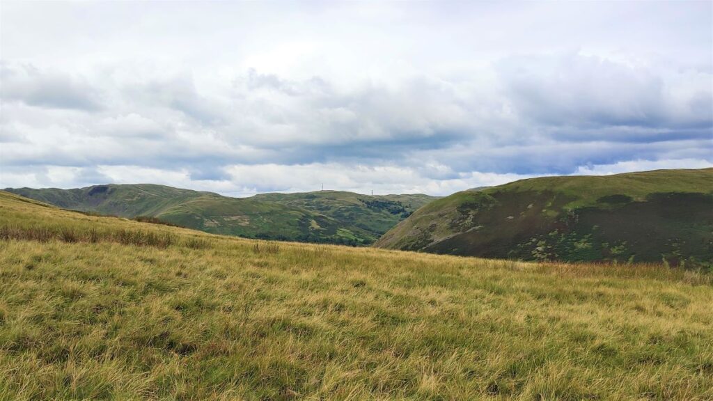
For now, we press on southbound heading toward the edge of Blease Fell some 100m higher than Powson Knott. As we progress, we get a clearer view of Borrowdale over to our right, and even a glimpse of the site of the Roman Fort at Low Borrowbridge, along with the line of the Roman Road which heads south becoming the modern Fairmile Lane, and then Howgill Lane, before finally arriving at Sedbergh. For more information about the Romam Fort, these websites are well worth visiting:
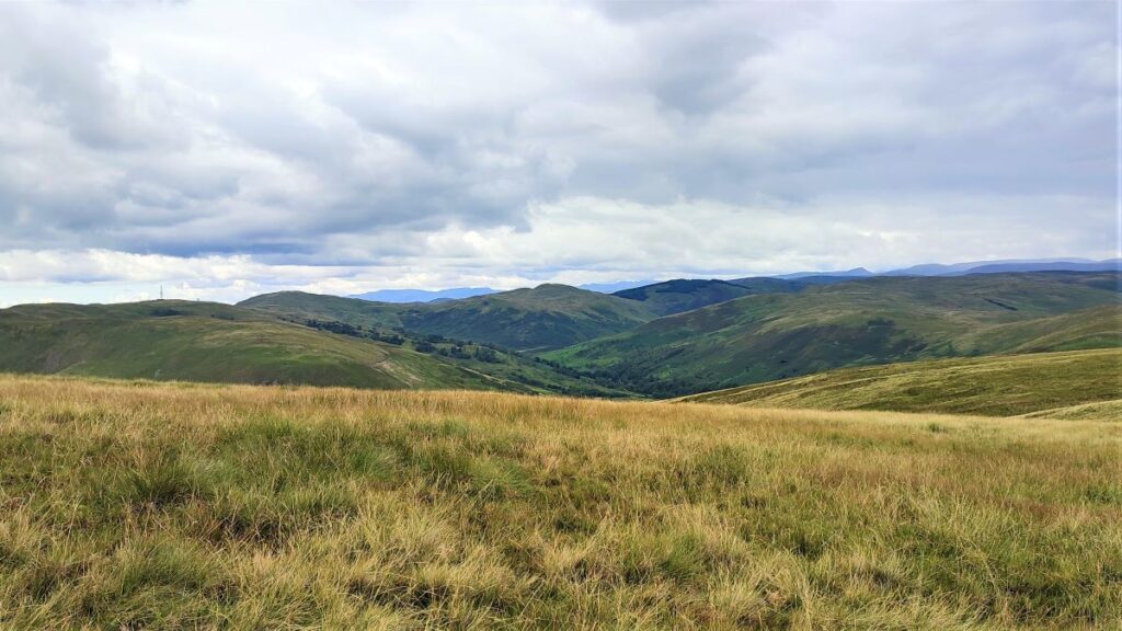
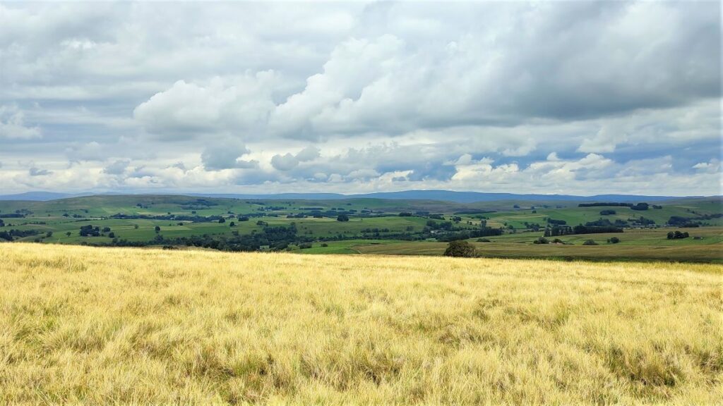
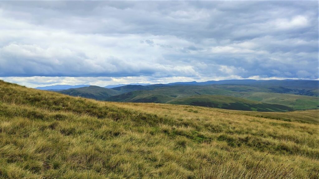
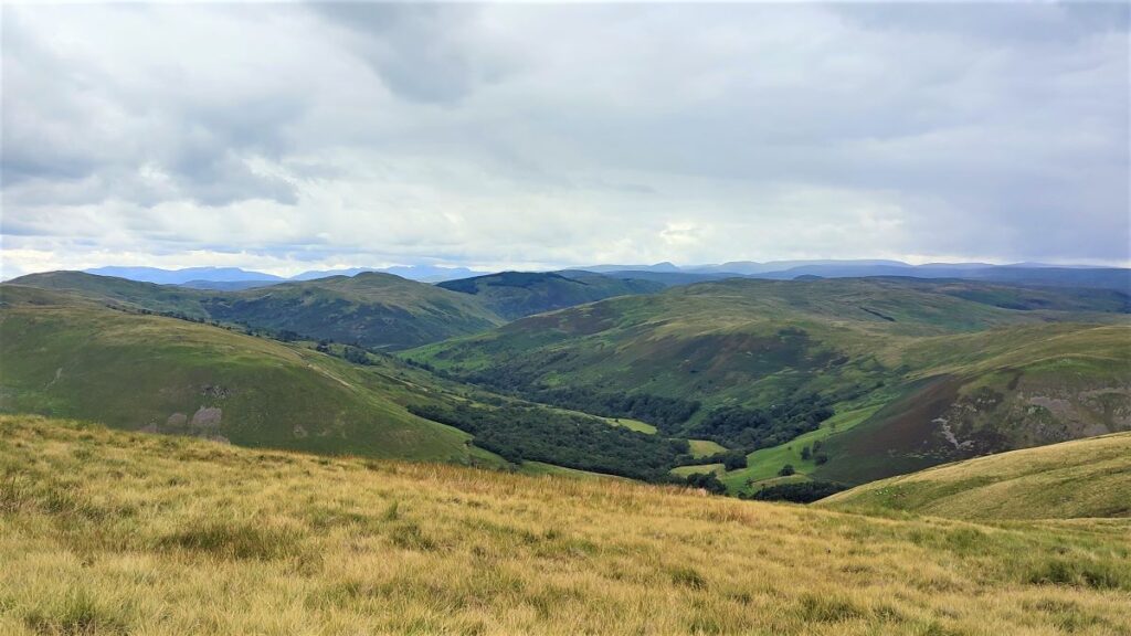
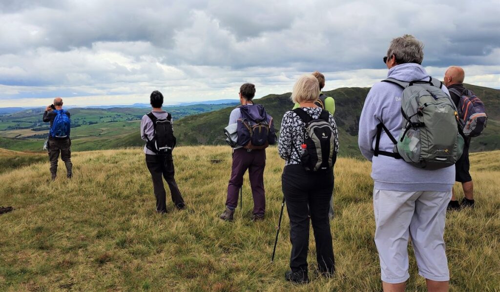
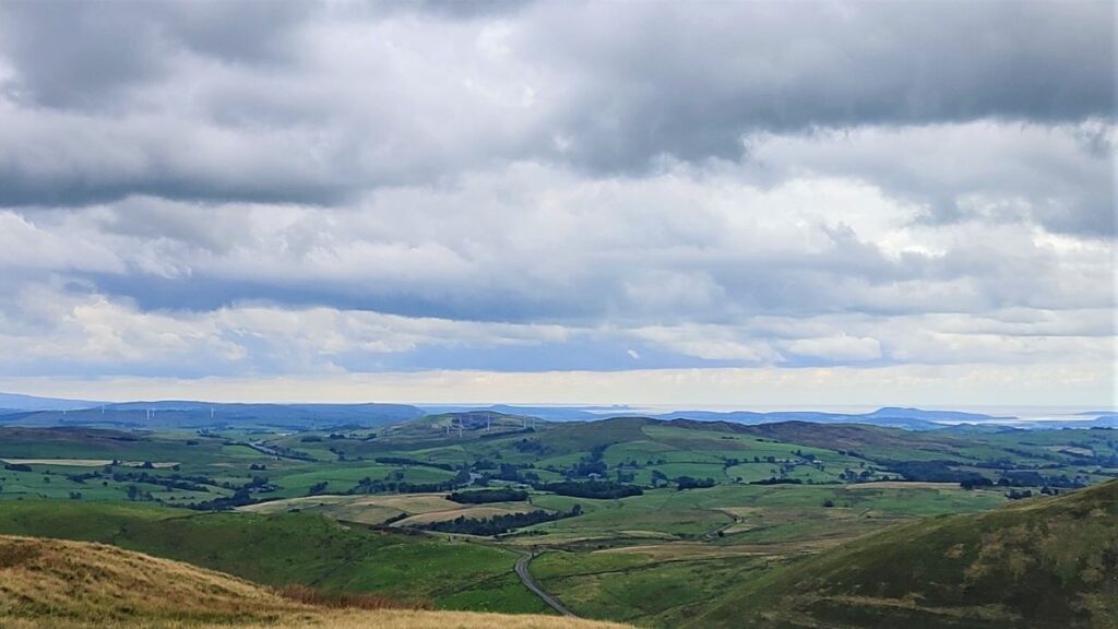
After a short section of rather steeper climbing, we arrive at a the top of Blease Fell. From here the views south down the Lune Valley are very impressive.
On a clear day, the sea will be glistening at Morecambe Bay, and to the right Barrow (50km away) will be visible, whilst to the left (at 45 km) the two block shapes of Heysham Nuclear Power Station are visible. It may also be possible to see Blackpool Tower slightly further left at 70km.
From here we follow the contours round the side of Blease Fell to head North – so our return walk is on the opposite side of the fell to our outbound leg, but broadly parallel with it – if in doubt consult the GPX.
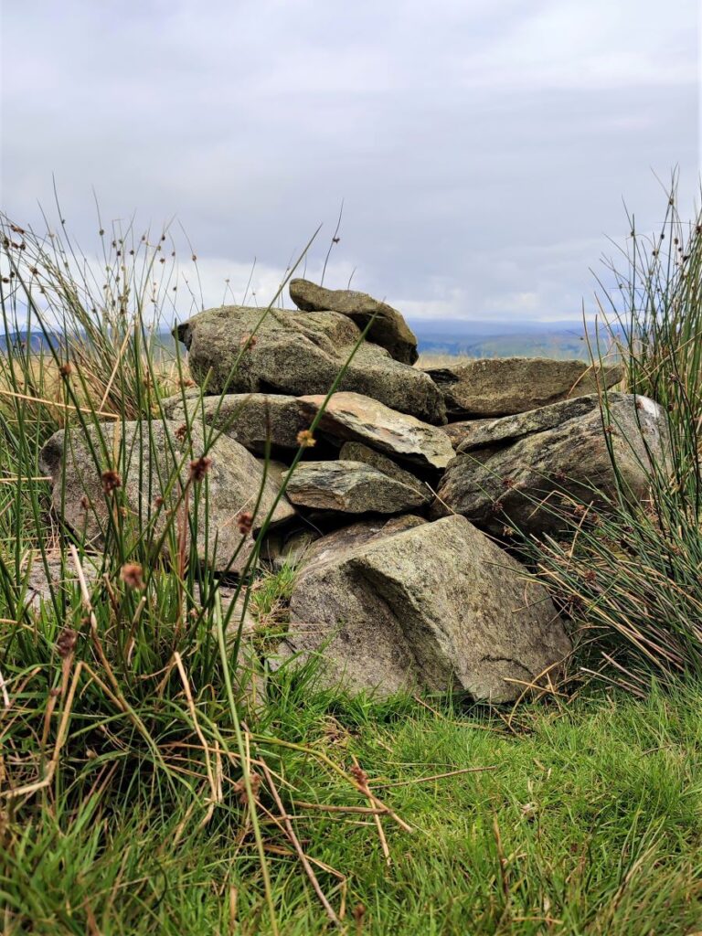
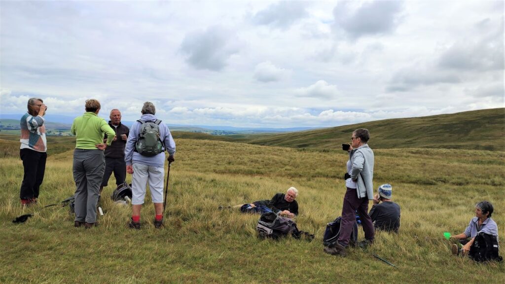
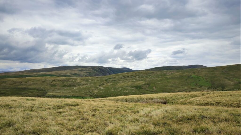
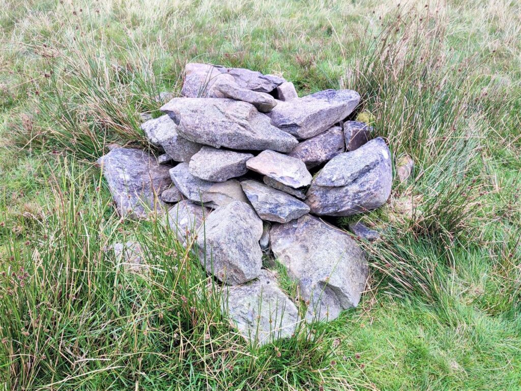
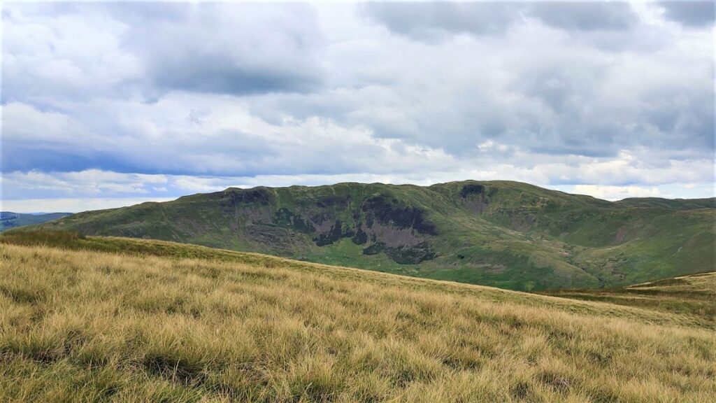
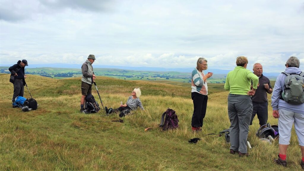
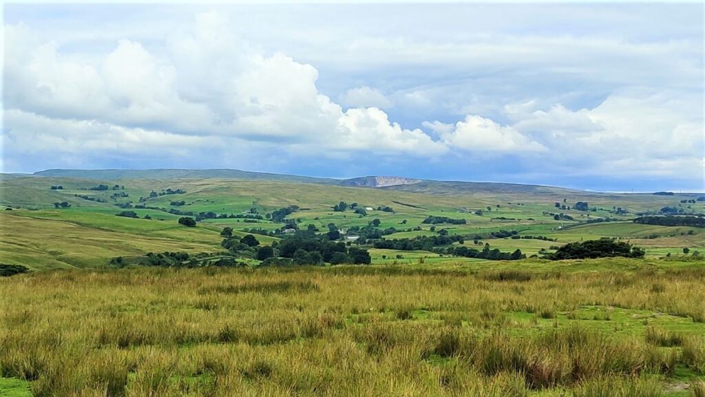
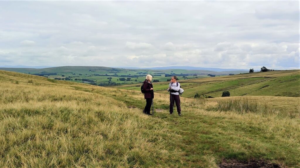
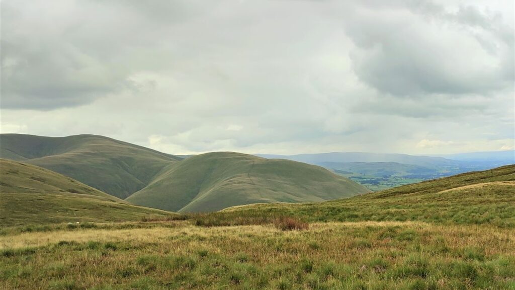
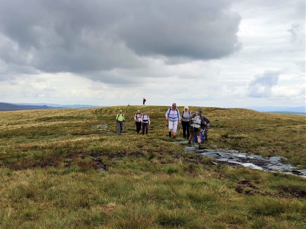
As we head North, the best views are over to the right, where we see the Howgills with countless gills cutting steep valleys into the hillsides. Enjoy the view of these, but don’t forget to look forward and spot the next landmark – a small peak with a cairn – this is Hare Shaw, a great place to pause for a break as we enjoy views of Rispa Pike over to the east.
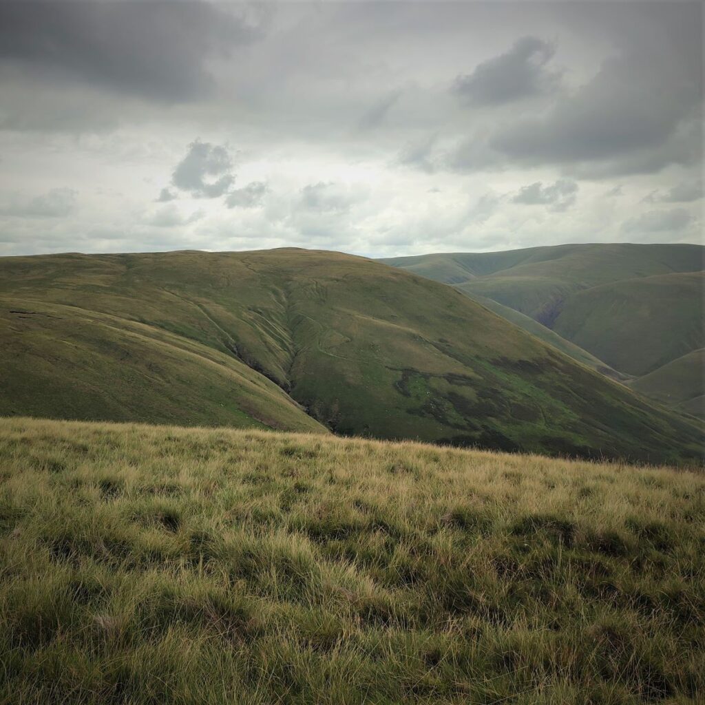
From here the path continues North, dipping away from the cairn at first and then climbing a little to reach the next intervening peak at Knott. From here we head consistently downhill toward Waskew Head.
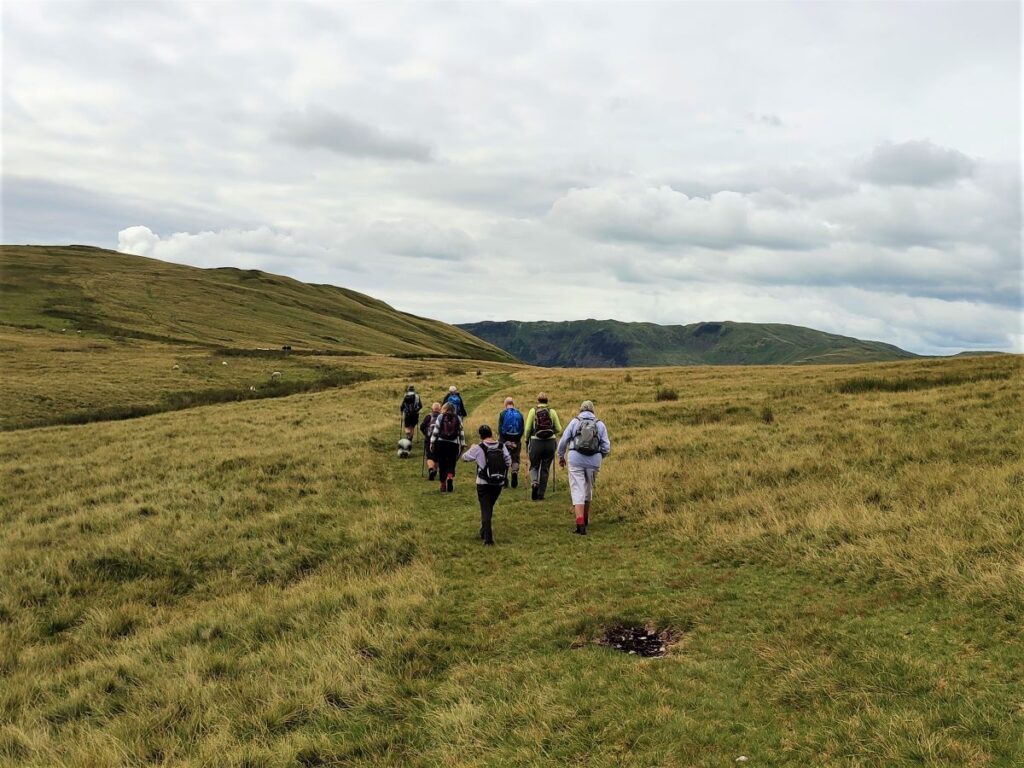
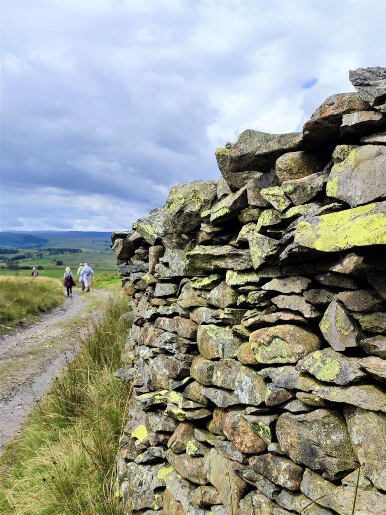
There are many paths in this area, and it would be easy to take the “wrong” one. In practice, this is not a great risk – we are on Open Access Land so there are no wrong routes – just longer ones!
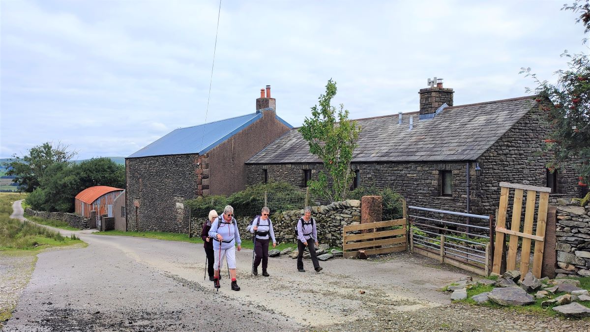
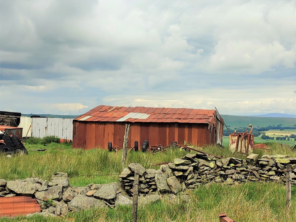
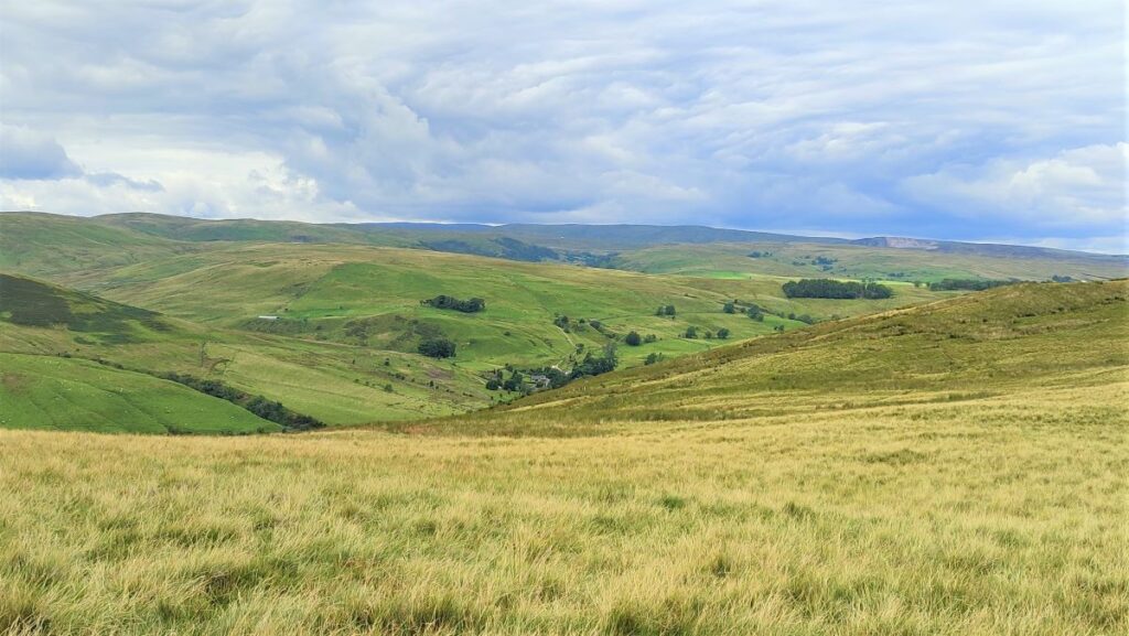
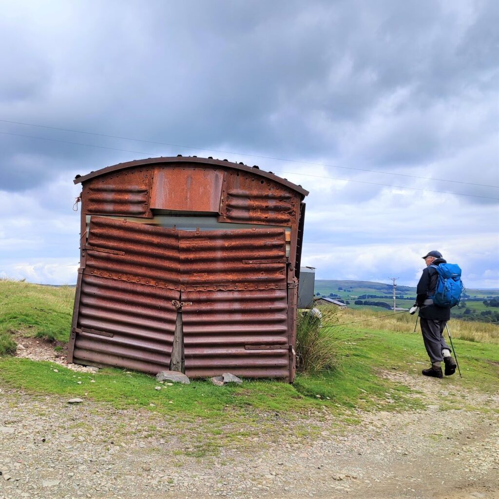
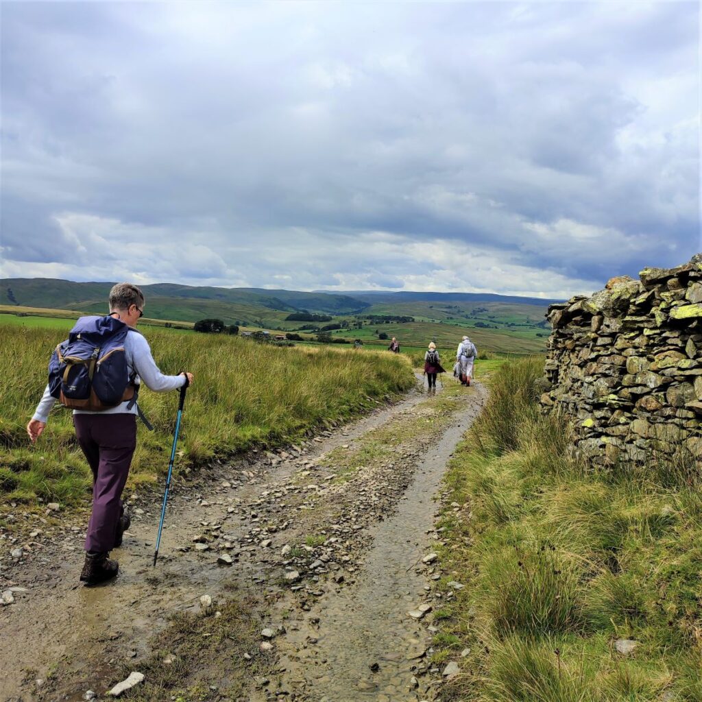
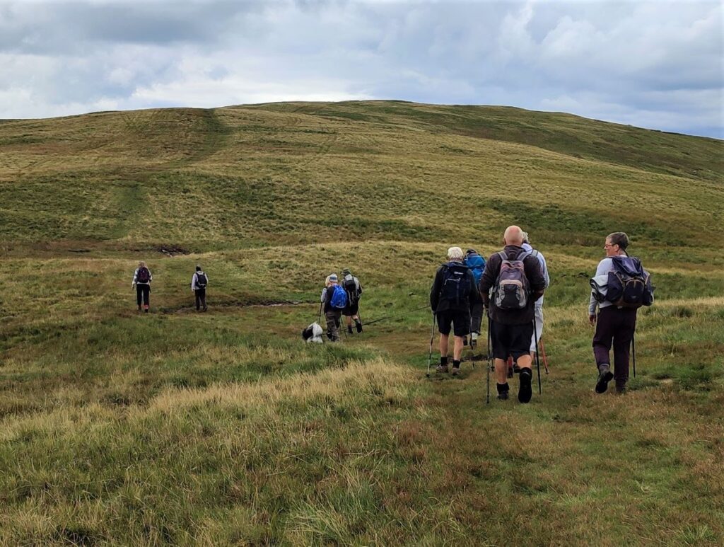
We are heading for the farm at Waskew Head, easily identified by the atmospheric rusty corrugated steel roof, and the most likely error would be to go too far right and pick up a farm track down to Ellergill. If you do this, don’t worry, as you will end up at the minor road we parked on, just head left and walk back to Tebay.
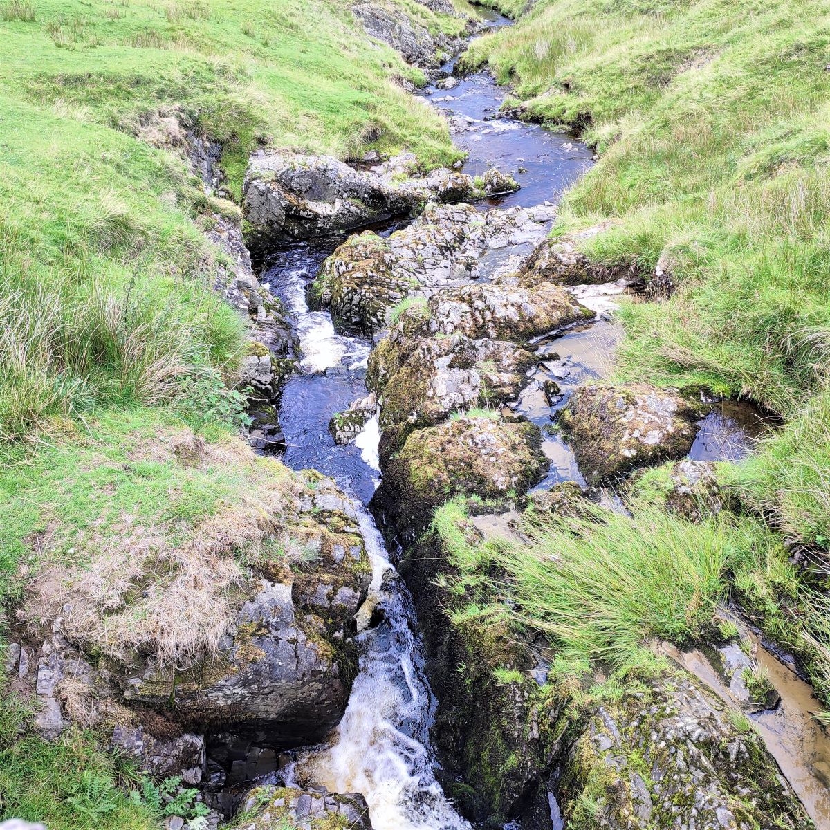
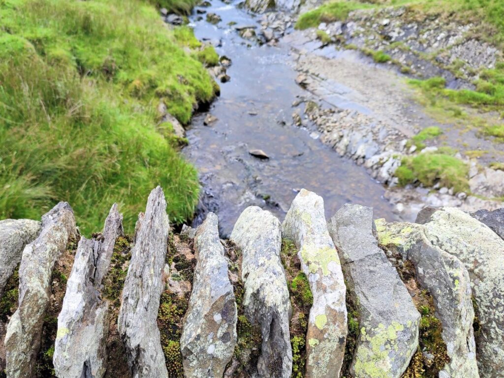
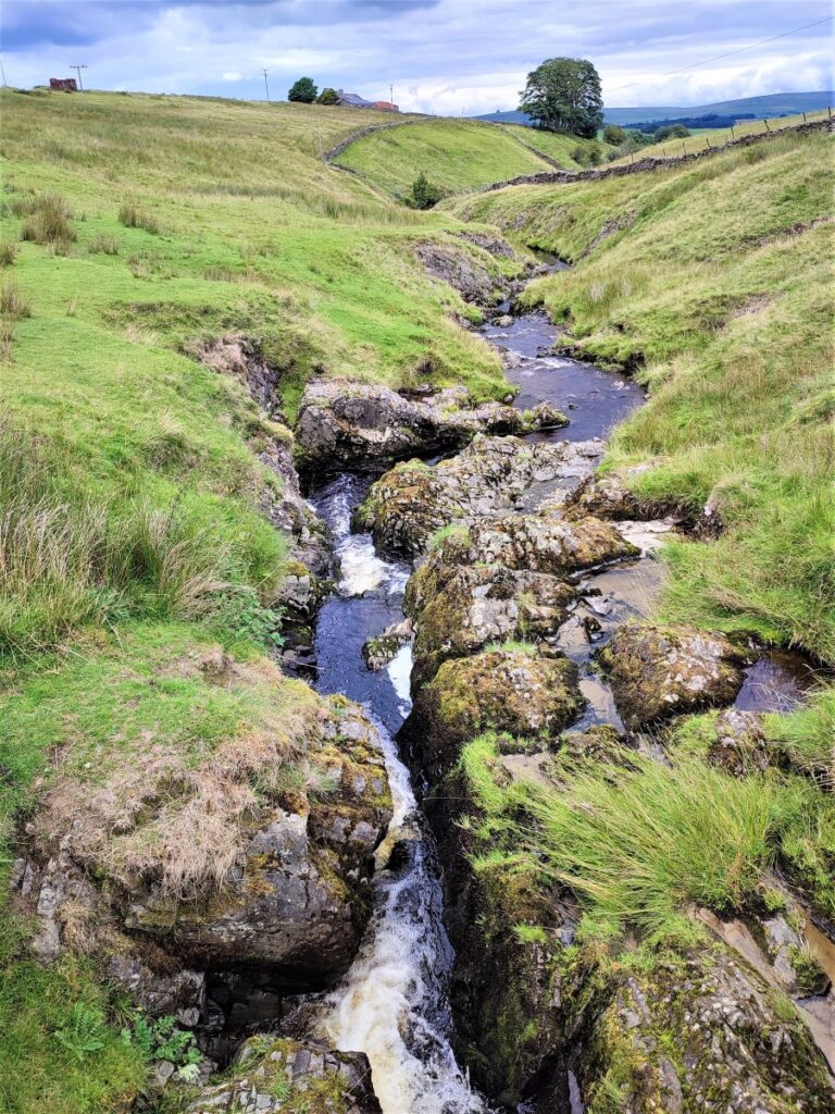
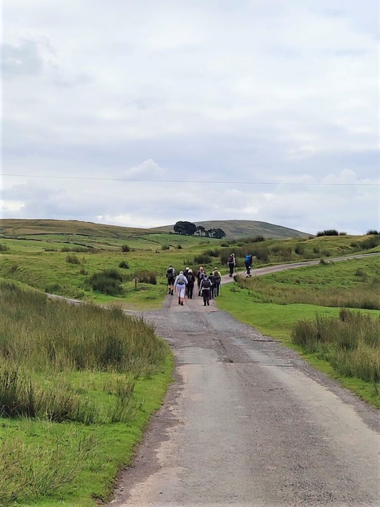
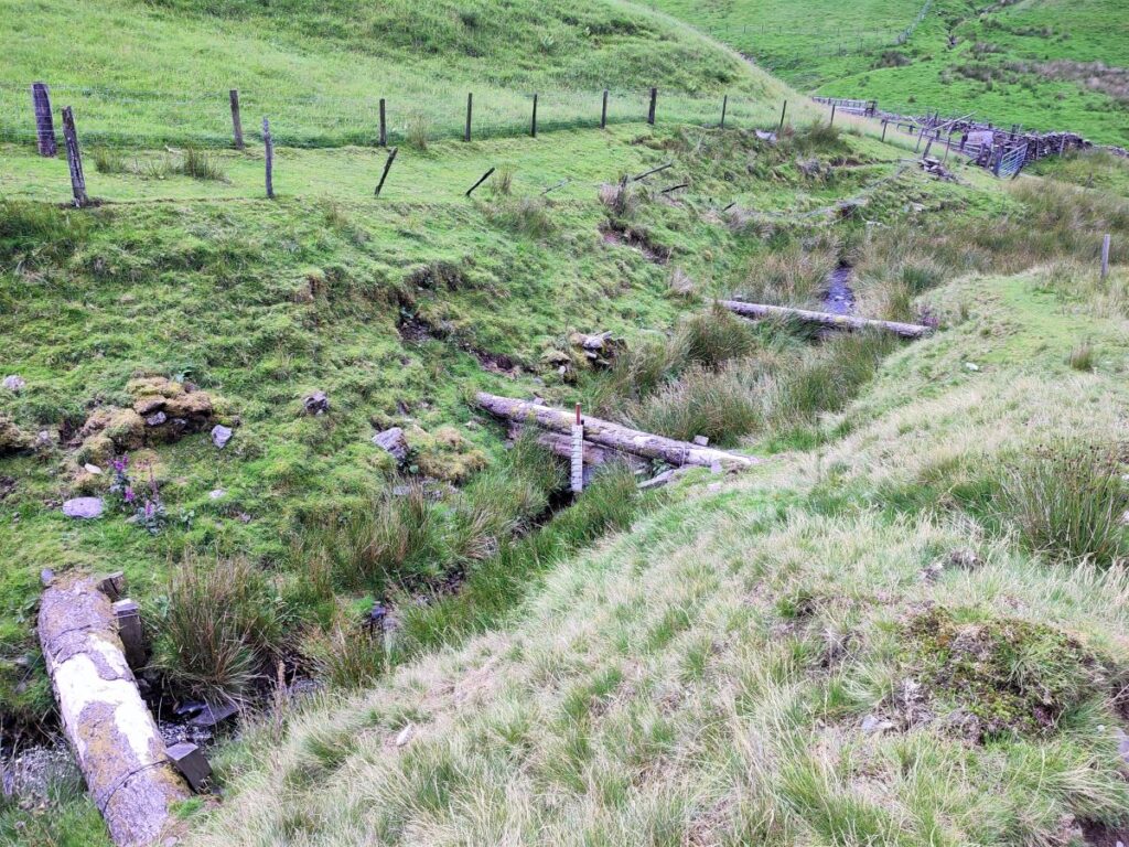
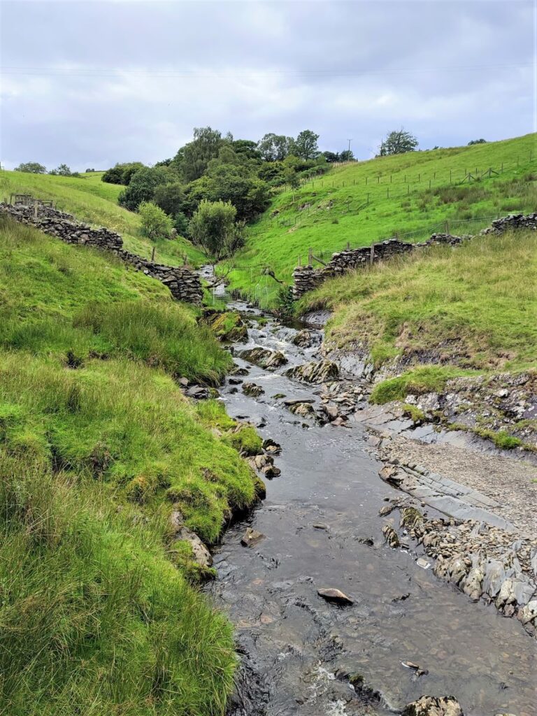
Assuming we correctly found the path to Waskew Head, take the track in front of the farm and follow it downhill. From here navigation is fairly foolproof; the track meanders a little but soon arrives at a pretty stone bridge over Tebaygill beck, where we meet a more substantial metalled road which we follow downhill.
Notice that there are water level markers within the beck and tree trunks laid across it to trap debris– these are part of a scheme to protect the upland peat and reduce flooding in old Tebay.
Much of the remediation work was undertaken by Cumbria Wildlife Trust, and the aim is to reduce flooding downstream by improving water retention at higher levels, and in doing so stabilising or improving peat coverage. To see more about this, click here.
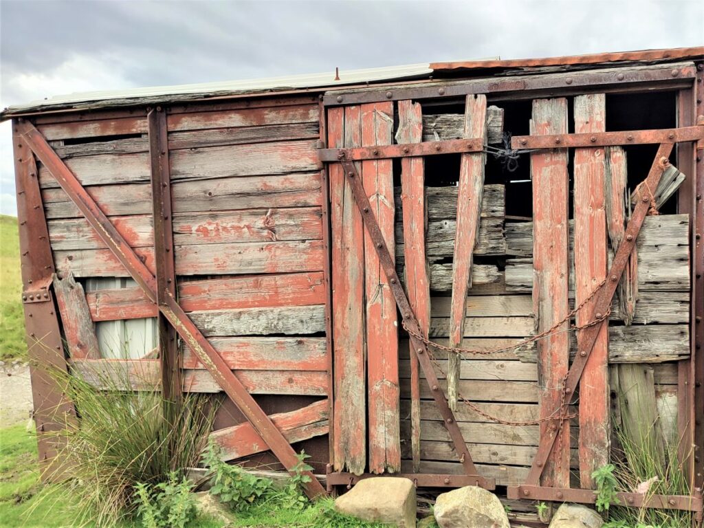
After the bridge follow the road uphill slightly using an old railway goods wagon, repurposed as a storage shed as a landmark. Tebay has a history dominated by the railway, although its importance was greatly diminished by the “Beeching axe” in the 1960s.
Tebay once boasted a station and a large marshalling yard – all now gone, and sadly the reasons that most people now associate the name Tebay with the railways is in connection with two accidents; in 2004 four men were killed by a runaway wagon – there is a memorial in Tebay, and then three years later, the Grayrigg rail crash happened on the West Coast Main Line between Oxenholme and Tebay. For more history about the railways in Tebay, click here.
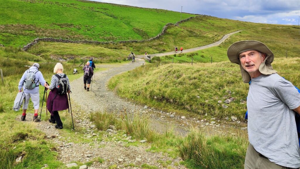
We continue downhill to meet the footpath sign we saw much earlier in the walk. From here, we simply reverse our outbound route to return to Tebay and the parking area.
We recorded a number of video panoramas during the walk, to see them click the following links . . .