Some of the Dales in the Yorkshire Dales National Park take their name from the river running through them – whilst others take their name from a prominent village. Dent is one of the latter; The river is the Dee, and the name is taken from the village of Dent.
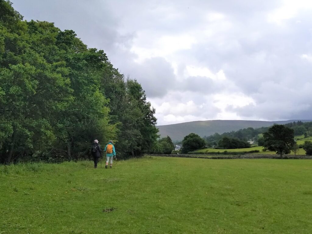
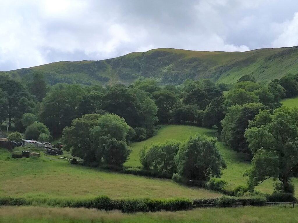
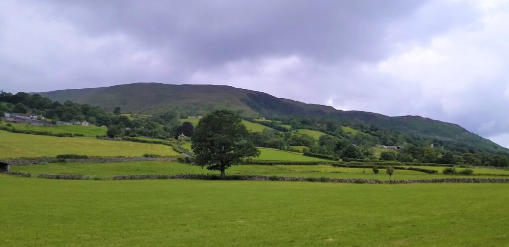
Dentdale and Dent Village are stunningly beautiful, but perhaps because the roads into them are all minor, they tend to be less crowded than we might expect – a good thing in our books.
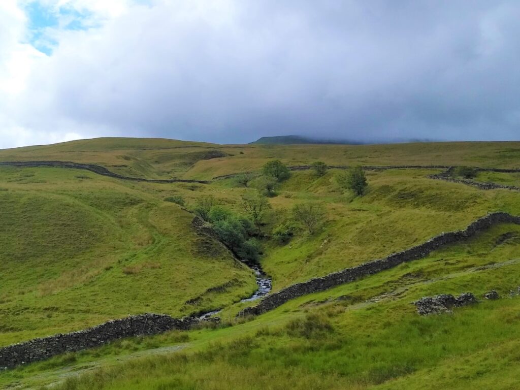
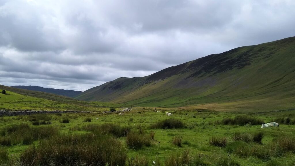
This walk combines the flat tranquil meadows along the Dee with a stroll through the village and up Flintergill where we take the ancient Green Lane known as the Occupation Road, enjoying long distance views down Barbondale, and over to the Howgills.
At the end of the Occupation Road, we turn right toward Gawthrop, and then loop round Stone Rigg, now with views up Dentdale, before following a path down to Dillicar where the Dales Way leads back to our start.
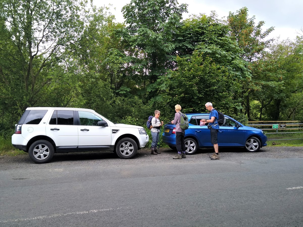
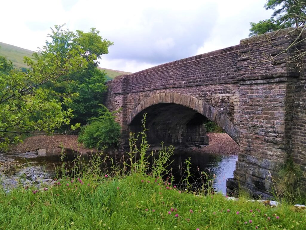
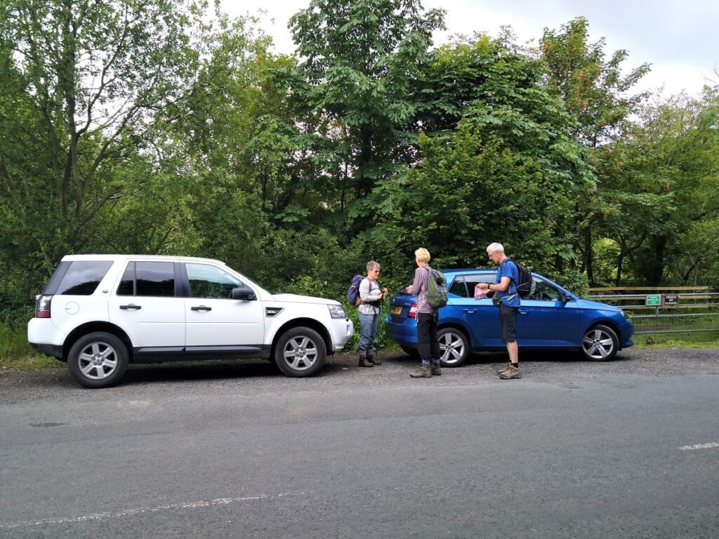
We start at Barth Bridge just to the Northwest of Dent – there is layby parking at the roadside for several cars just after the bridge.
From Dent head out toward Sedbergh, and as soon as the road crosses the Dee, parking spaces should be visible.
Satnav users will find that postcode LA10 5SZ places them in the right general area, but for more precision What-3-Words tag harshest.crab.crib locates the parking. Paper map users will find SD69458791 works.
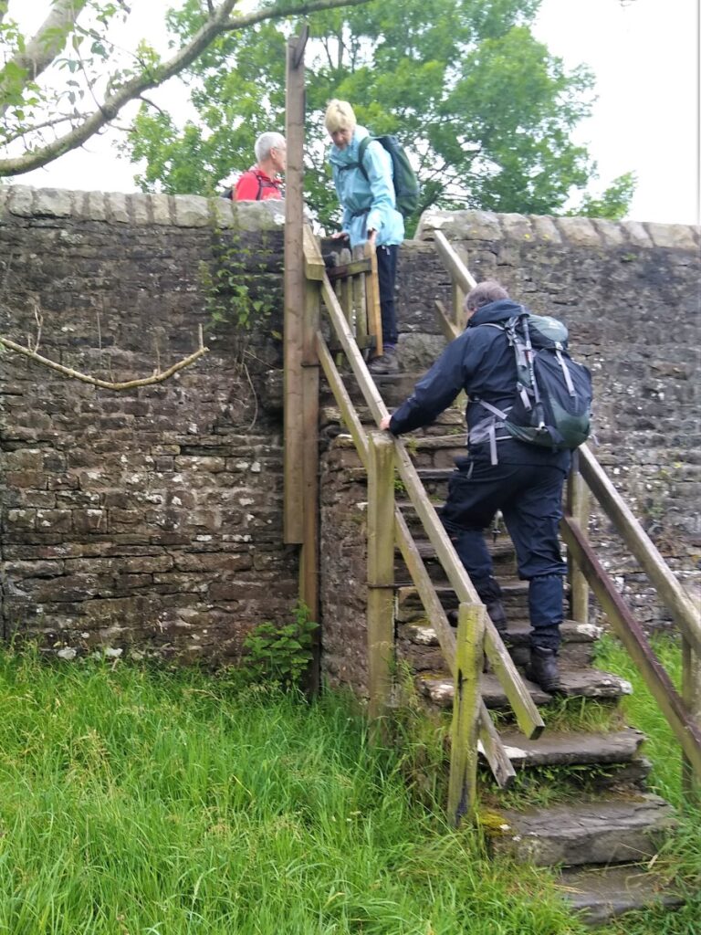
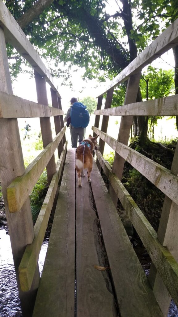
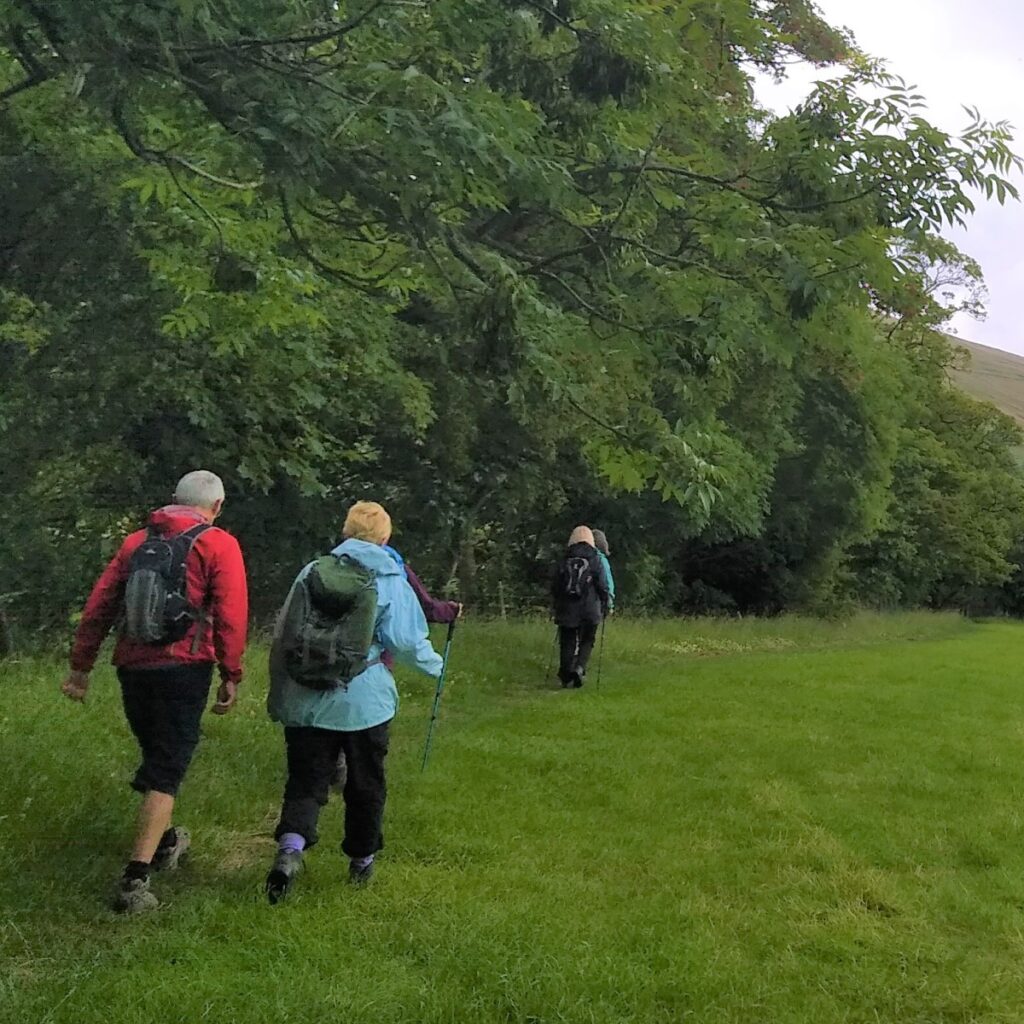
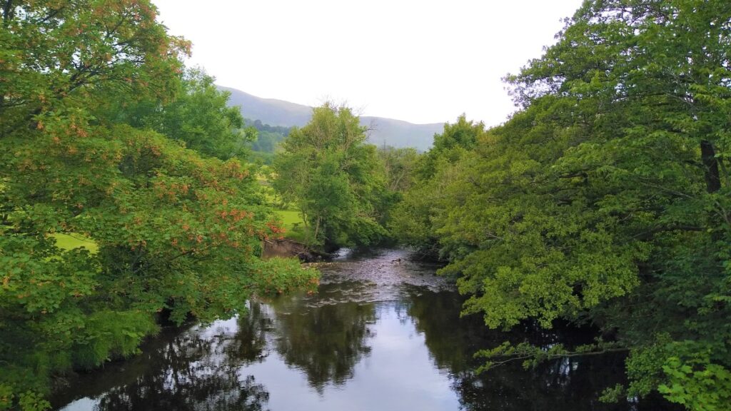
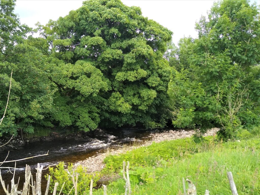
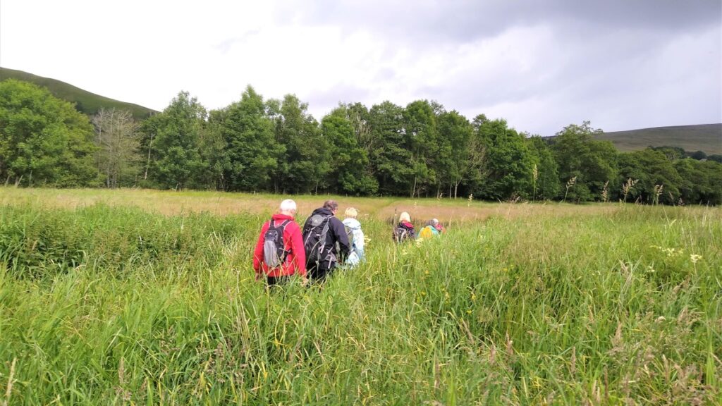
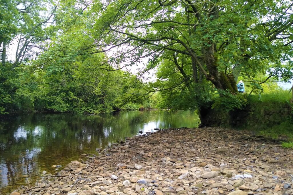
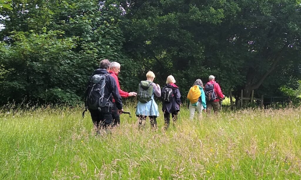
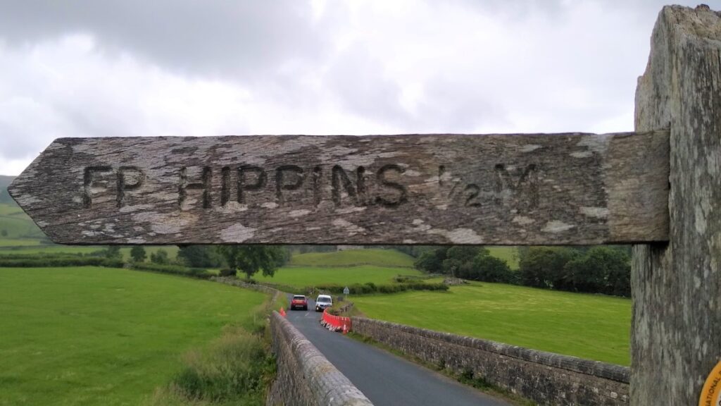
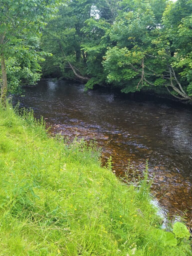
From the parking area, turn back and cross the Barth Bridge heading toward Dent, and look for the stile in the left hand wall of the bridge. There is a fingerpost signed for Hippins here, and we take the steps down onto the meadow and follow the Dee upstream along the footpath – which coincides with both the Pennine Journey and Dales Way paths at this point.
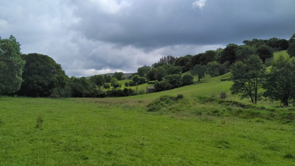
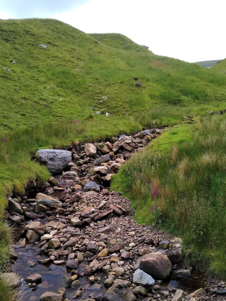
The path remains clear as it passes through a series of meadows – we never stray far from the Dee, and where small becks come in from the side, footbridges are provided.
Water levels in the Dee vary enormously. In the peak of summer, parts of the river disappear as the stream flows through underground rock – whilst in spate, the meadows that the walk starts on can be submerged. It is worth noticing that both the Barth Bridge and the Bridge in Dent feature side arches to allow flood water to pass without damaging the approach roads to the bridges.
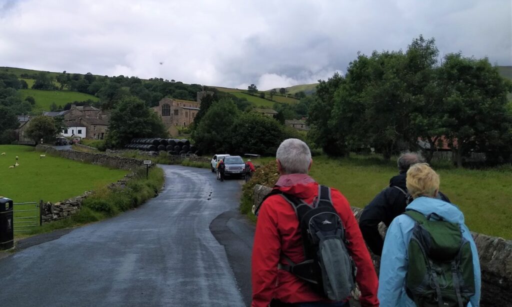
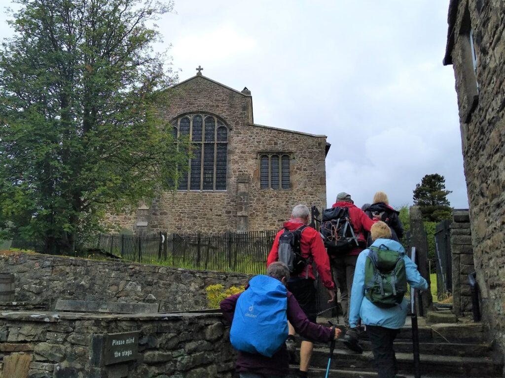
We continue to follow the Dee upstream until we arrive at the Church Bridge in Dent, and here we take the steps up to the road and turn right to head into the centre of the village. Note that the gate at the top of the steps passes directly onto the road with no pavement, so take care.
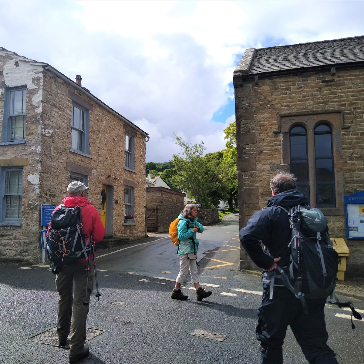
As we follow the road round, and slightly uphill, the church of St Andrew dominates the view. A church was first built here in the 12th century, but little remain of that – it was rebuilt in 1417, and restored first in 1590, and again in 1787.
A further restoration was carried out in 1889–90 by the Lancaster architects Paley, Austin and Paley.
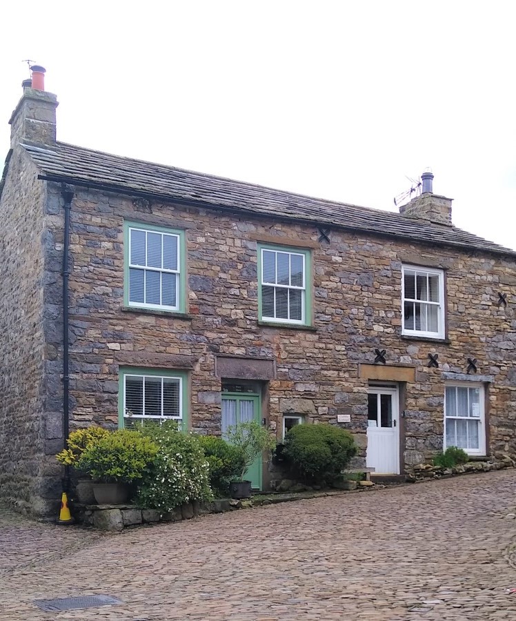
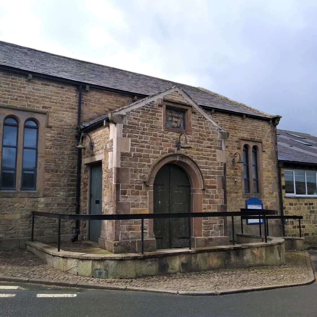
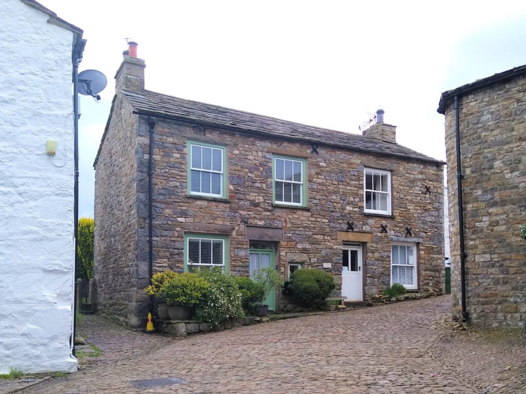
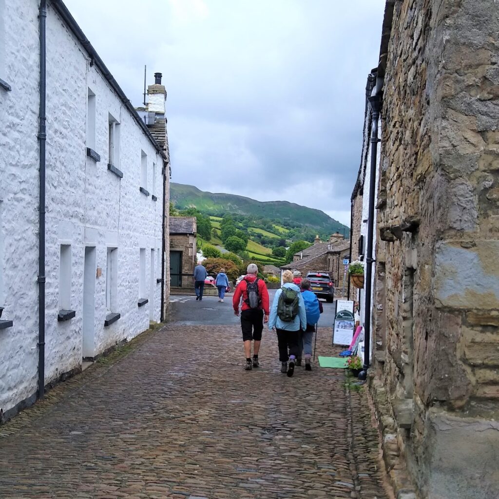
We take the path through the church grounds, which brings us out onto the pretty cobbled Main Street, which we follow down to the National Park car park in the village centre. Toilets are available here – opposite the memorial hall.
Although we did not visit on the day of the Bentham Footpath Group walk, it is worth noting that just a short distance further down the main road on the left is the Dent Village Heritage Centre and Museum.
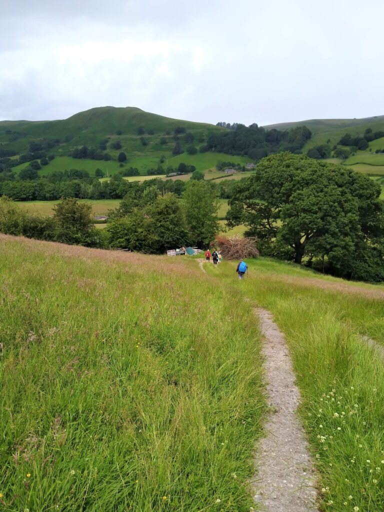
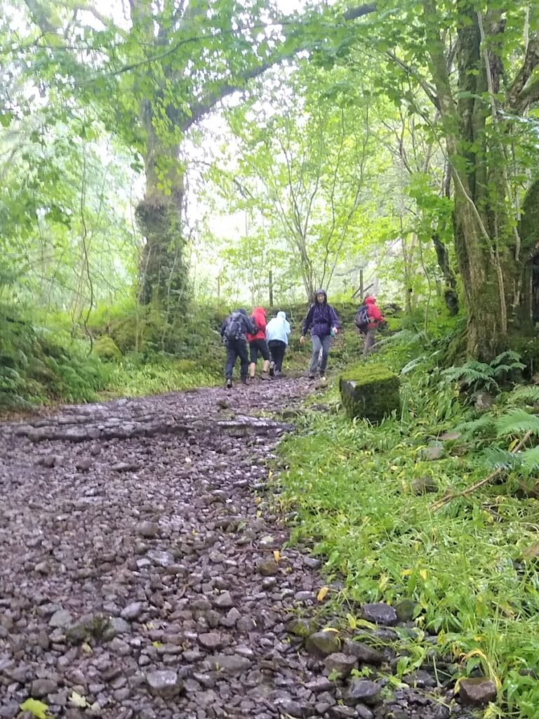
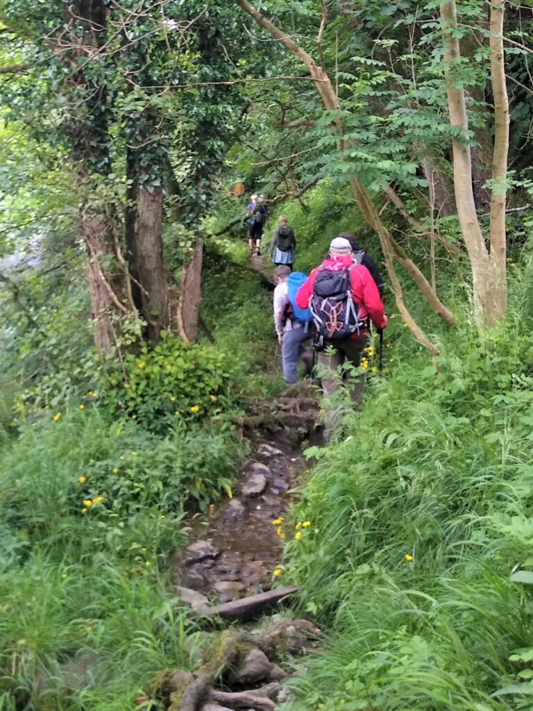
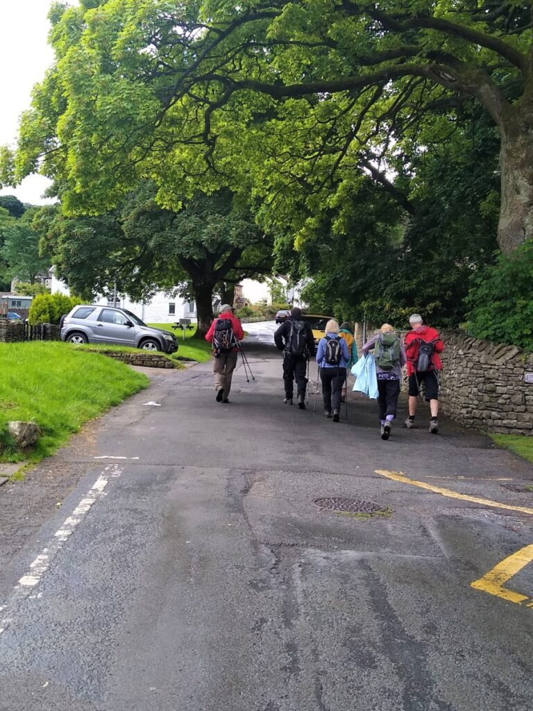
Our walk continues up the side road next to the memorial hall – known as Dragon Croft. We follow this until the road becomes a rough track at which point it is known as Flintergill.
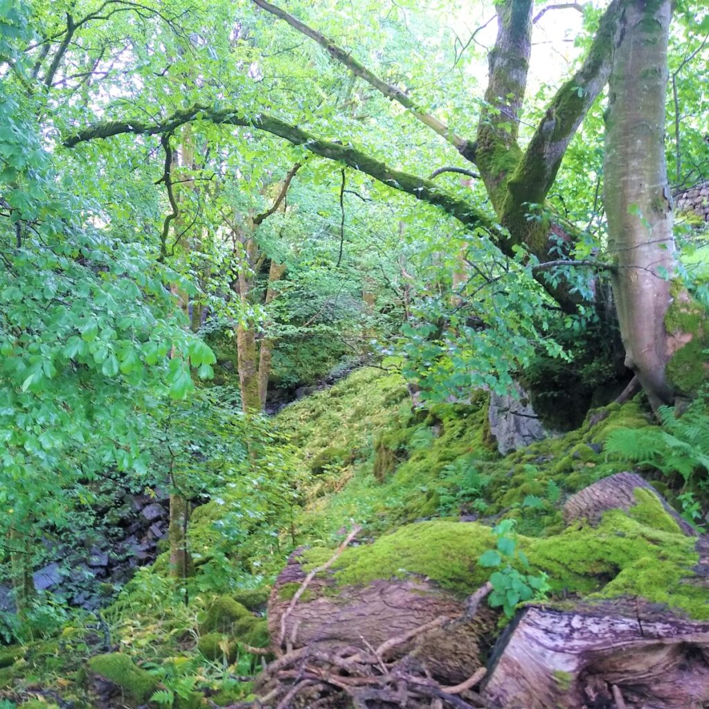
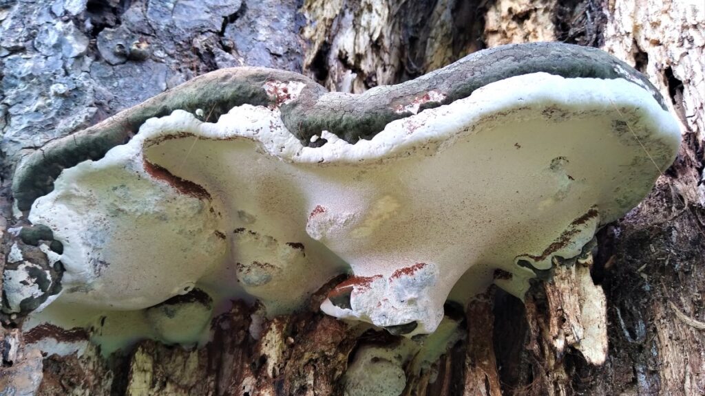
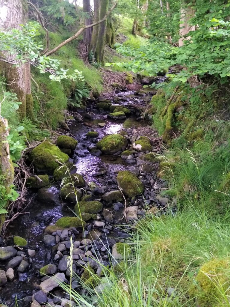
The track here is quite steep, and can be slippery when wet, so take care. When the weather is more clement it is worth taking some time to explore the gorge either side of the path.
Just beyond the cottage at the start of Flintergill is an expanse of naturally occurring flat flagstones in the flow of the gill. These were used for centuries by weavers to “waulk” their newly woven cloth – this involved laying the new cloth on the flags and treading on it to tease open the fibres making it thicker and therefore warmer when dried. The cloth pieces were known as webs, and the practice as “Dancing the Web” – hence the local name for the flagstone – the Dancing Flags.
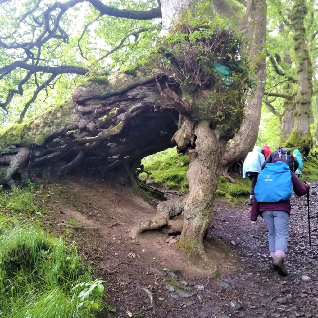
Further up the track, after passing through a gate, we find a particularly unusual tree referred to locally as the Wishing Tree – where a gap in the root structure is wide enough to walk through.
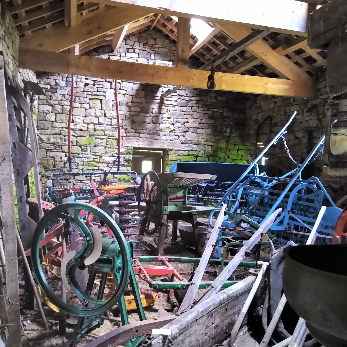
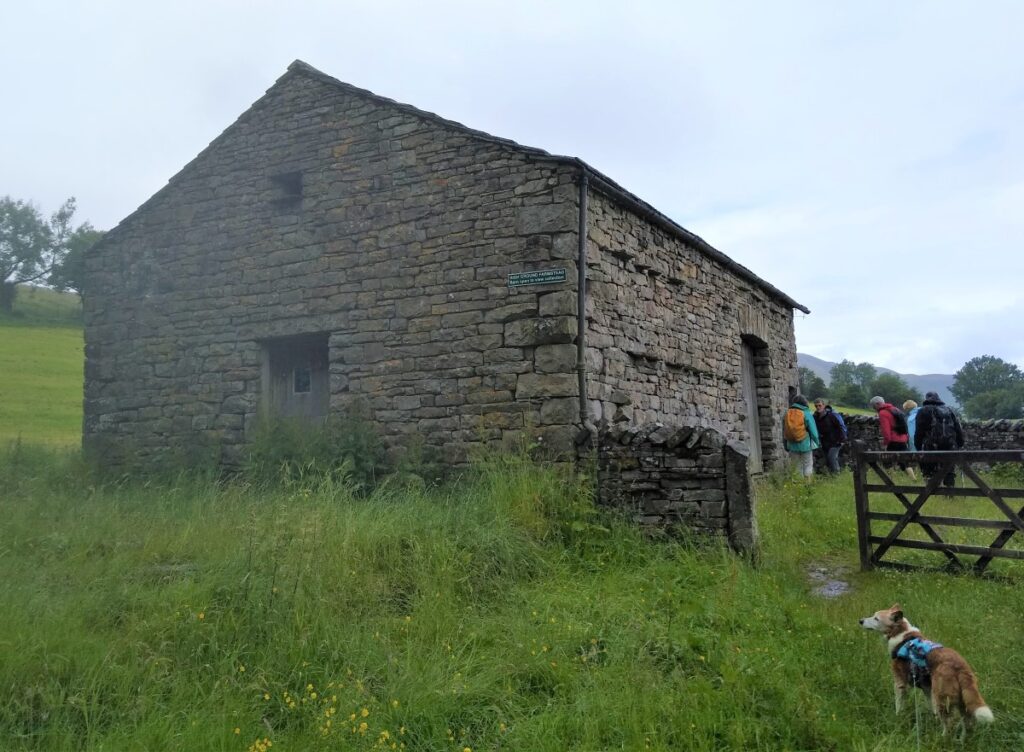
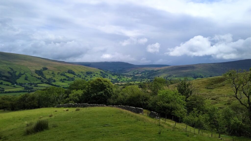
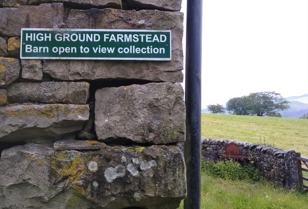
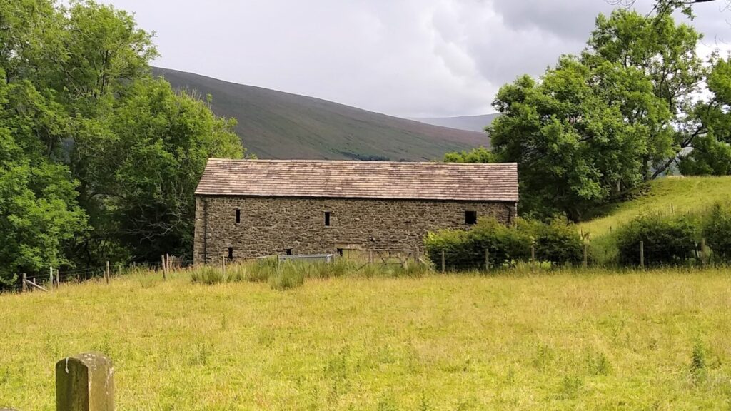
Further on still, and after a particularly steep climb, we see a barn on the right, known as High Ground Barn. This has been converted into a static display of tools and equipment used until recent times in local farms. The front of the barn is a good place to rest and enjoy the views over the valley out toward the Howgills.
Almost opposite is a lime kiln – not uncommon in the Dales, but this one is particularly well restored and cared for.
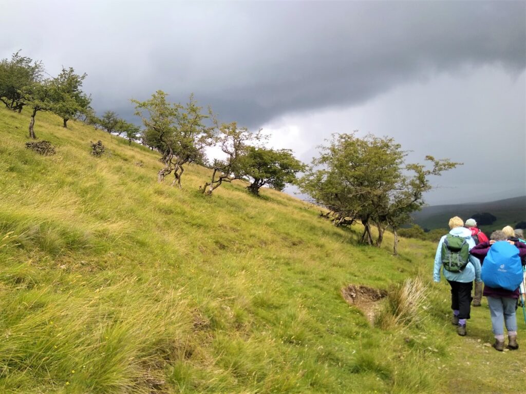
We continue up Flintergill, stopping at the viewpoint and “toposcope” – an engraved diagram that points out the direction of key landmarks before pressing on to the point where the path meets the Occupation Road, or “Occy”.
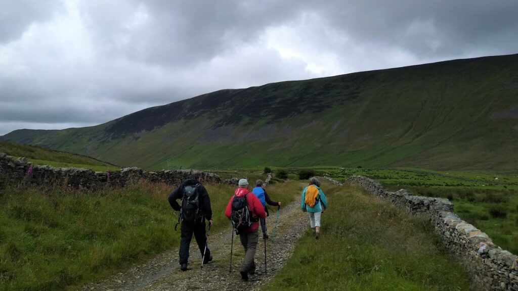
This was originally an ancient Droving Road and was rebuilt as an access road in 1859 as part of the Enclosures Act. The enclosures had the effect of taking commons land out of common ownership and therefore needed access roads to provide routes across newly private property.
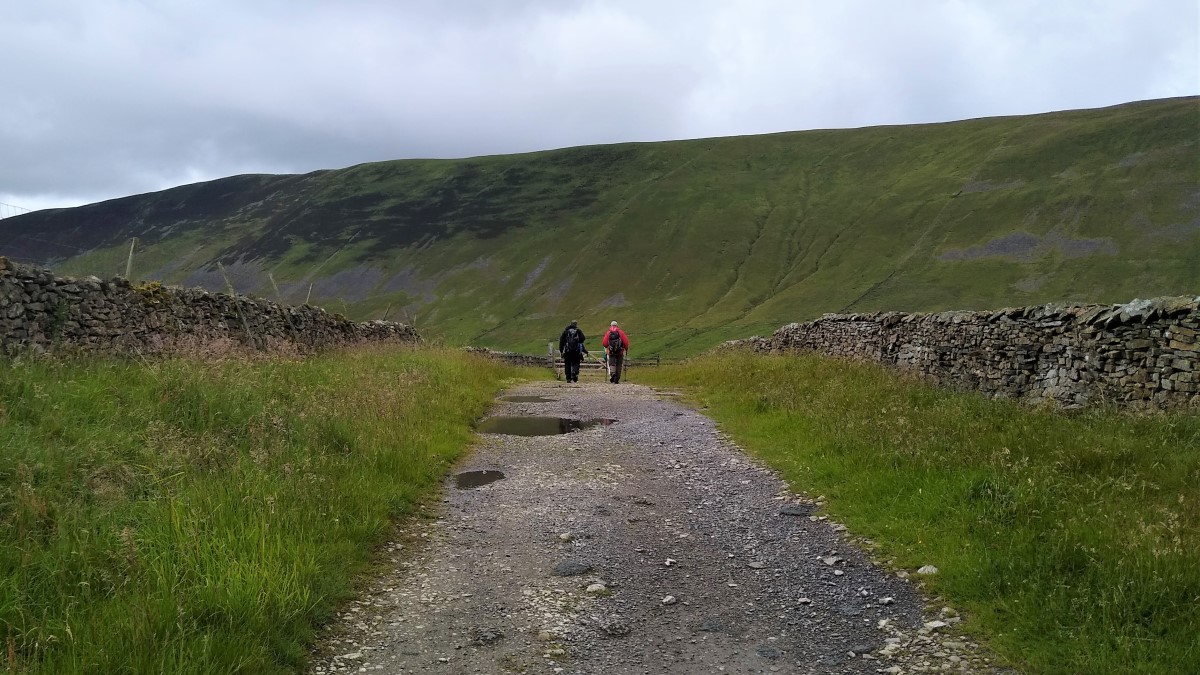
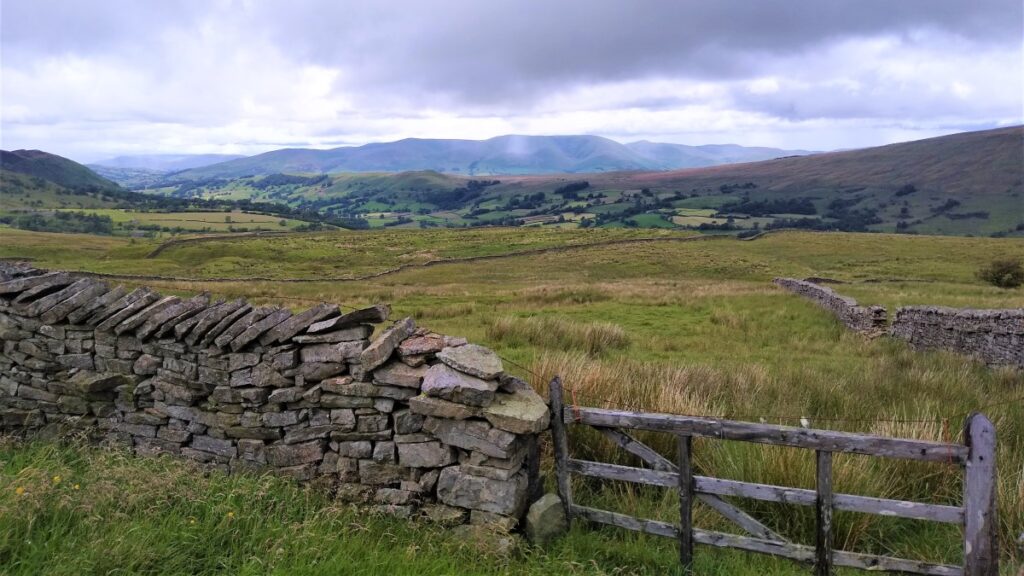
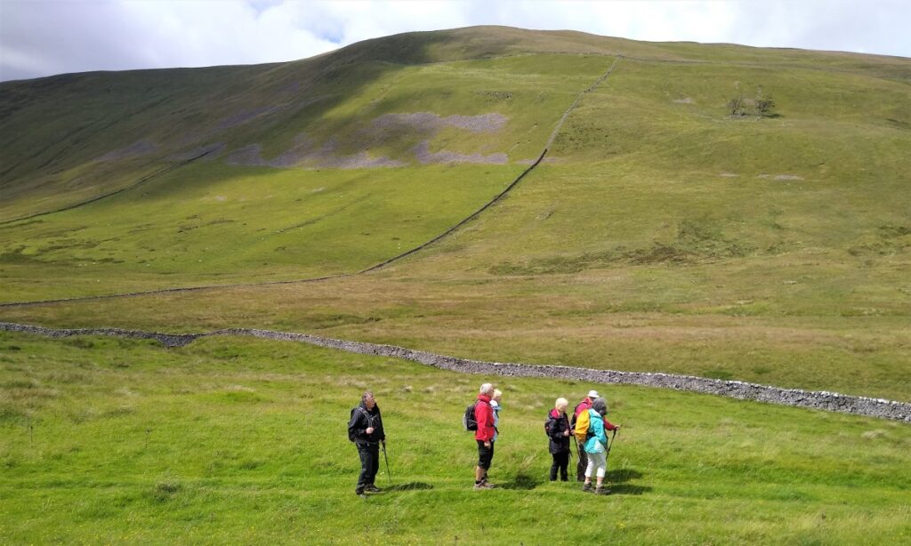
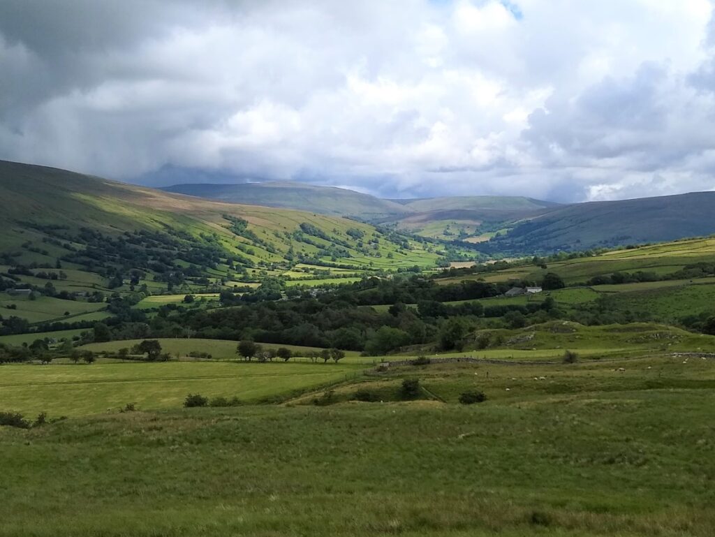
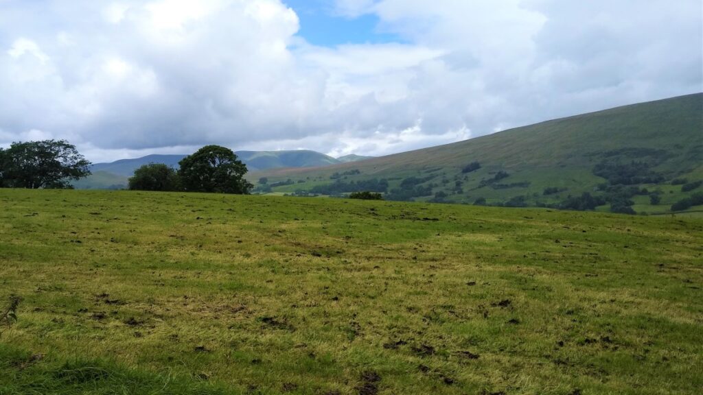
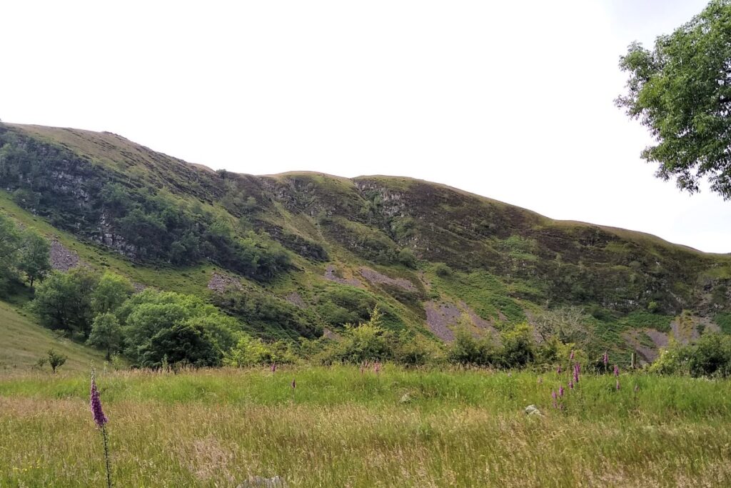
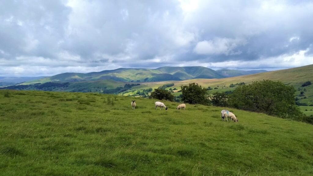
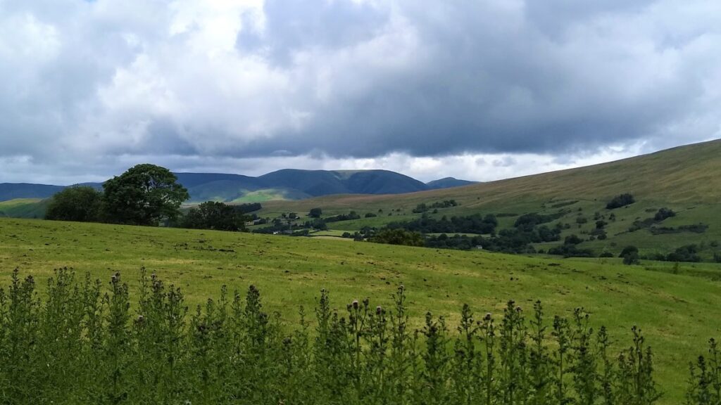
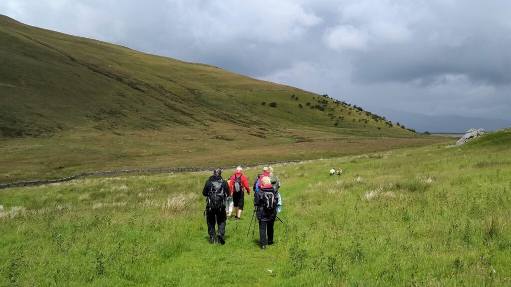
We turn right along the Occupation Road as it winds around the contours of Towns Fell, before turning right and heading downhill to meet the Barbon to Dent road. The views over Barbondale to Middleton Fell are a highlight here.
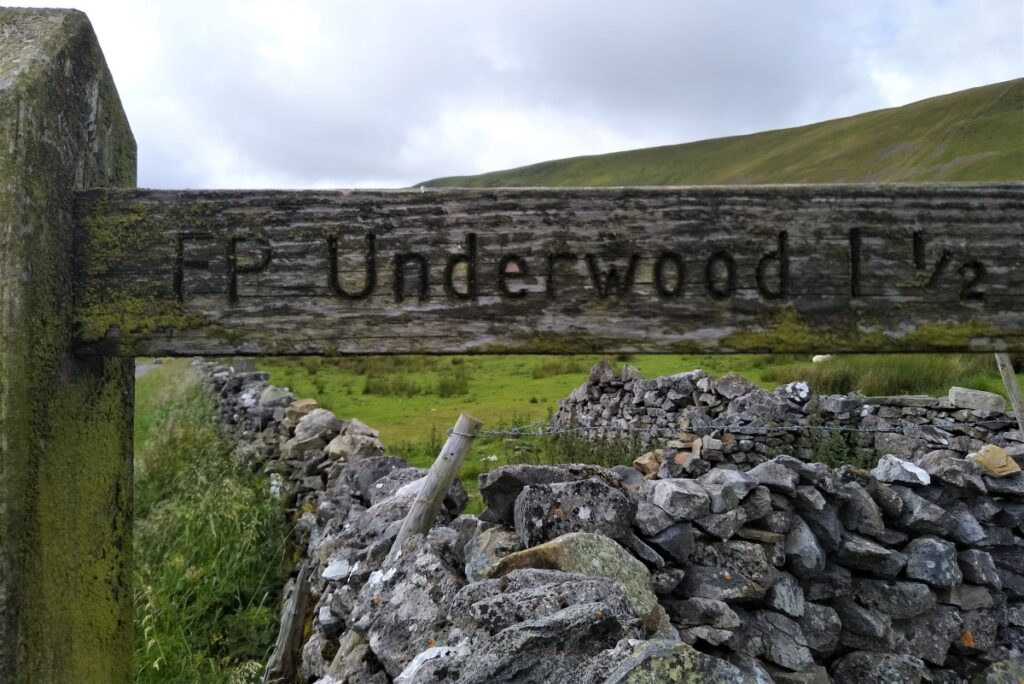
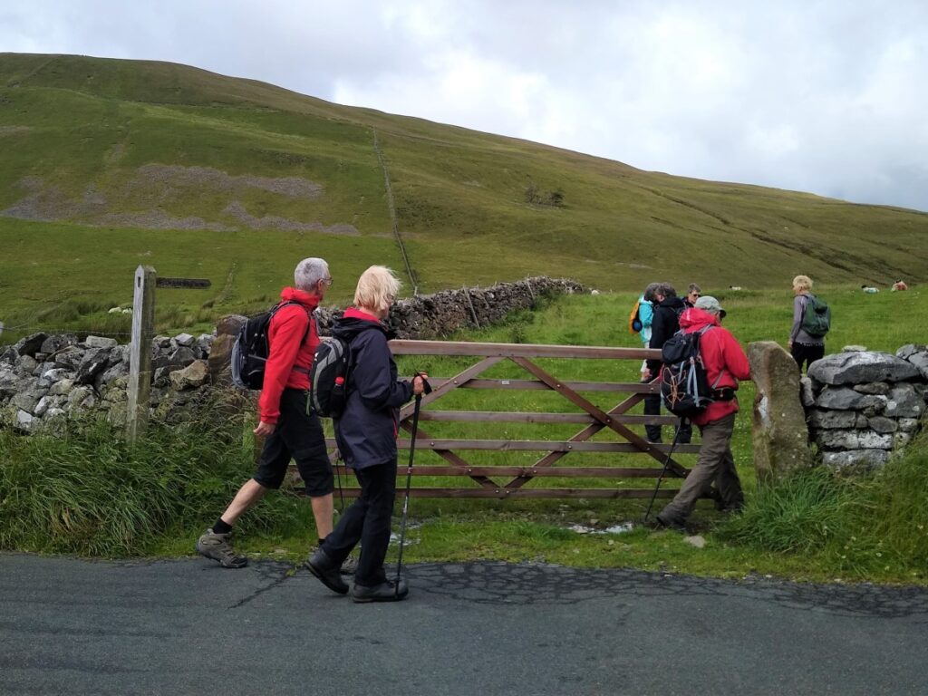
When we meet the road, we turn right and walk for a short while keeping a look out for a finger post on the left hand side indicating a path to Underwood.
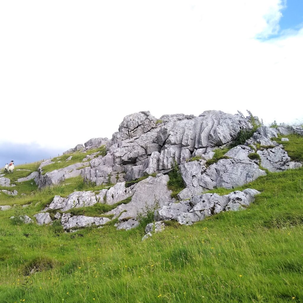
Here we enter the field through the gate and start off along the line of the drystone wall to our left heading slightly uphill. The path is clear, and soon winds round to the right passing behind the small peak of Stone Rigg – the far side is sheltered and has some limestone outcrops which make a good place to stop for lunch.
Ahead of us the path heads to the corner of the field with a stile where we turn sharp left and head Northwest along the inside of the wall. The path then curves round to the right again, and we follow along the contours through a sparsely wooded area.
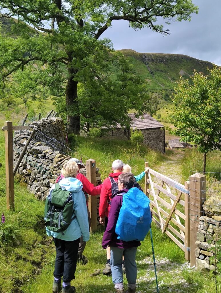
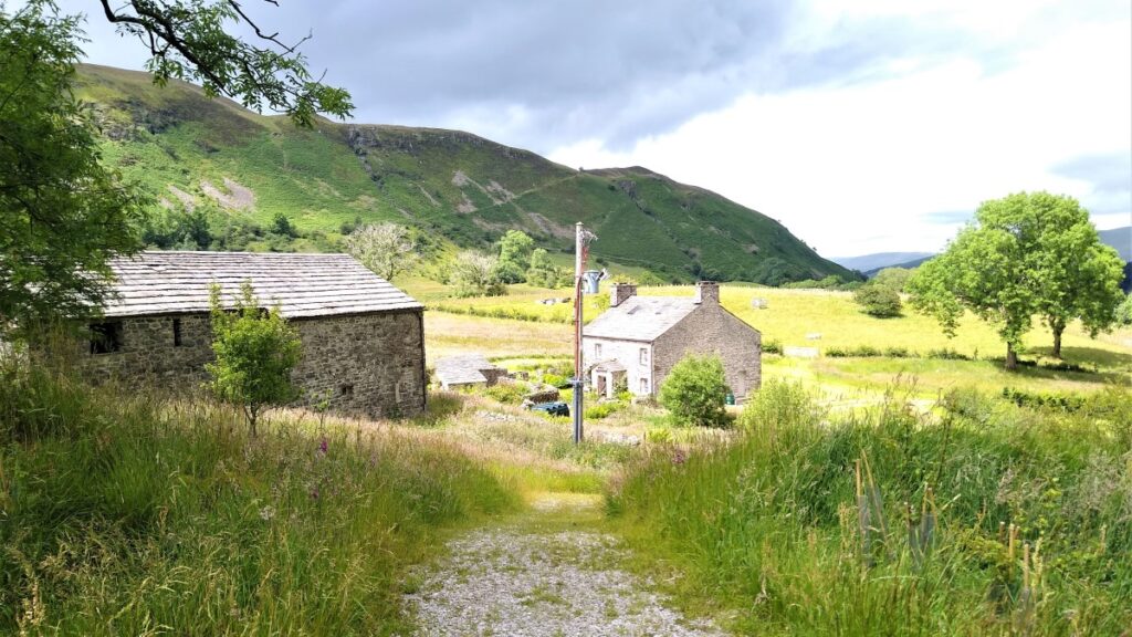
At the end of this, the path bears left and passes through a field boundary to become a small lane which we follow to a gate, with a farm ahead of us.
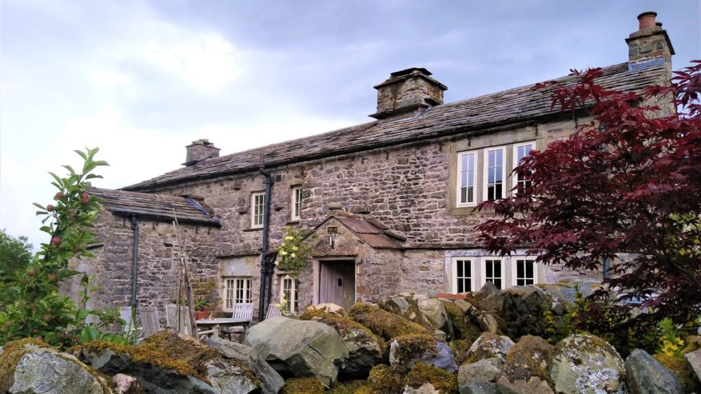
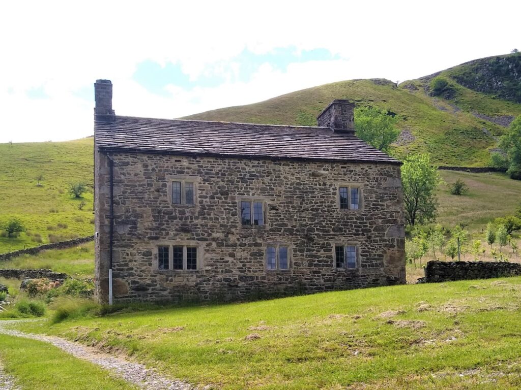
We now follow the clear track downhill and to the right, passing in front of a very attractive house with mullioned windows.
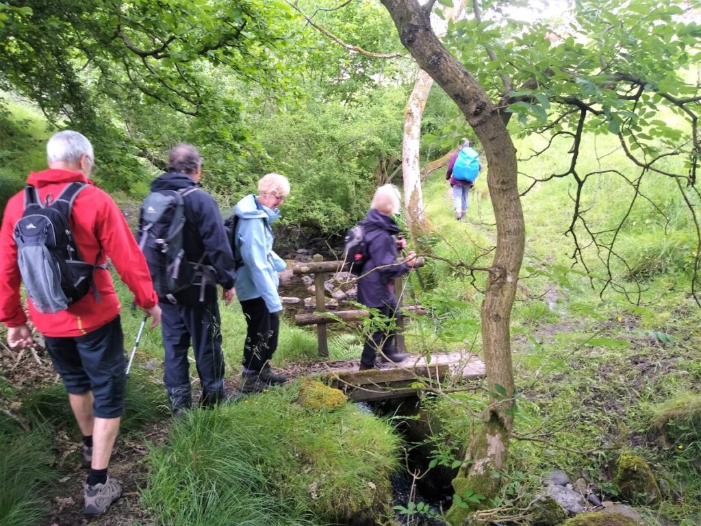
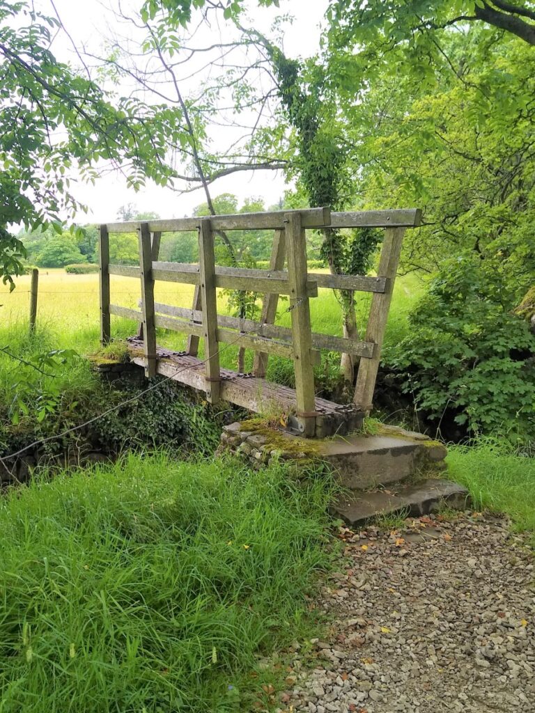
As we follow the track, we look out for a marker on the left which leads us down to a footbridge over a small stream, after which there are steps up to a gate at an attractive cottage named Tofts.
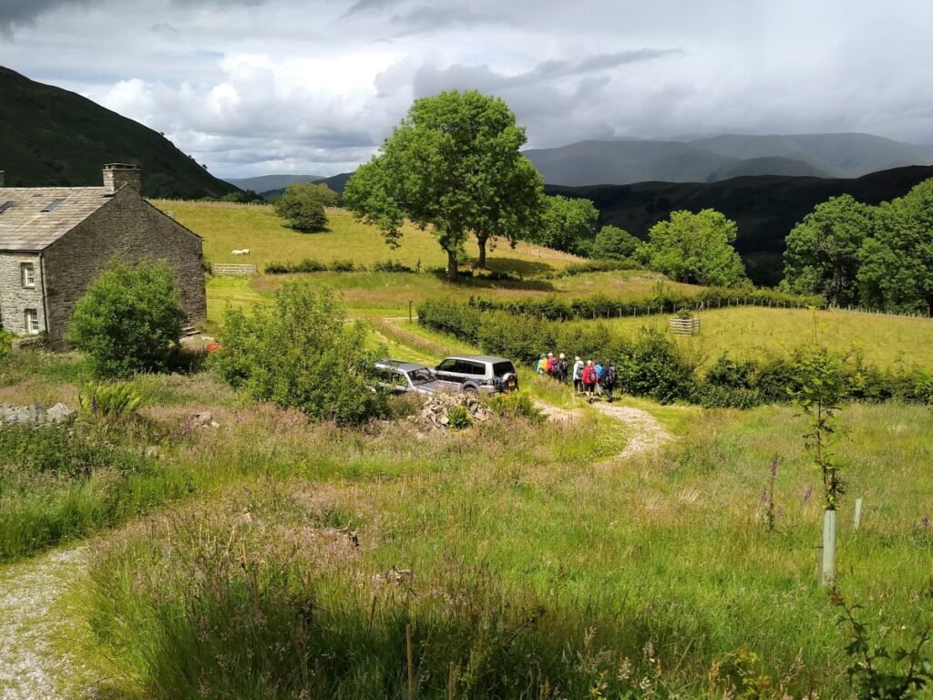
Continuing on, the lane veers round to the right and heads gently downhill. Our next landmark is a fingerpost on the left taking us slightly back on ourselves and down to a gate.
We now walk North and gently downhill passing a derelict barn on our left before arriving at a farm on a very minor road.
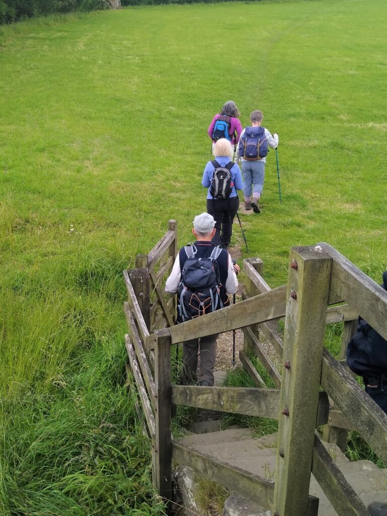
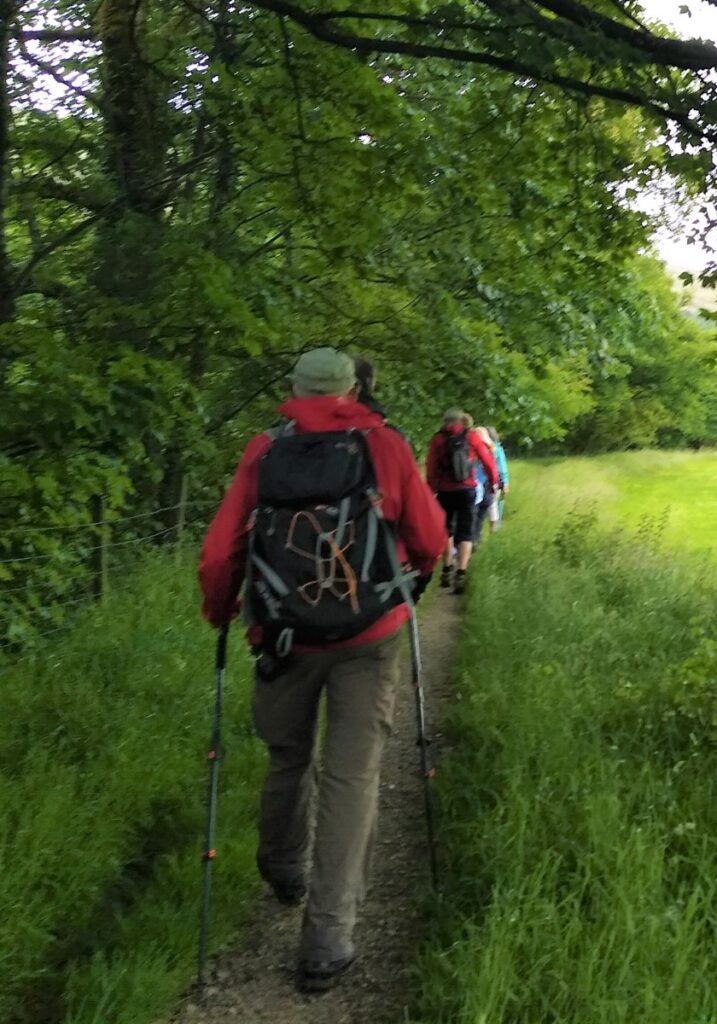
Here we turn left – although you may note from the GPX that we initially got this wrong – and walk up the lane until it forks. We take the right hand route and follow the road round until we see a fingerpost taking us through (somewhat boggy) meadows and back to the bank of the River Dee. We are on the Pennine Journey and Dales Way paths again now, and so the route should be clear
If in doubt the route follows the Dee at the waters edge crossing side becks on footbridges until we arrive back at Barth Bridge where the walk ends.