Jump to . . .Step by Step | OS Map | Downloads | Gallery | Fly through
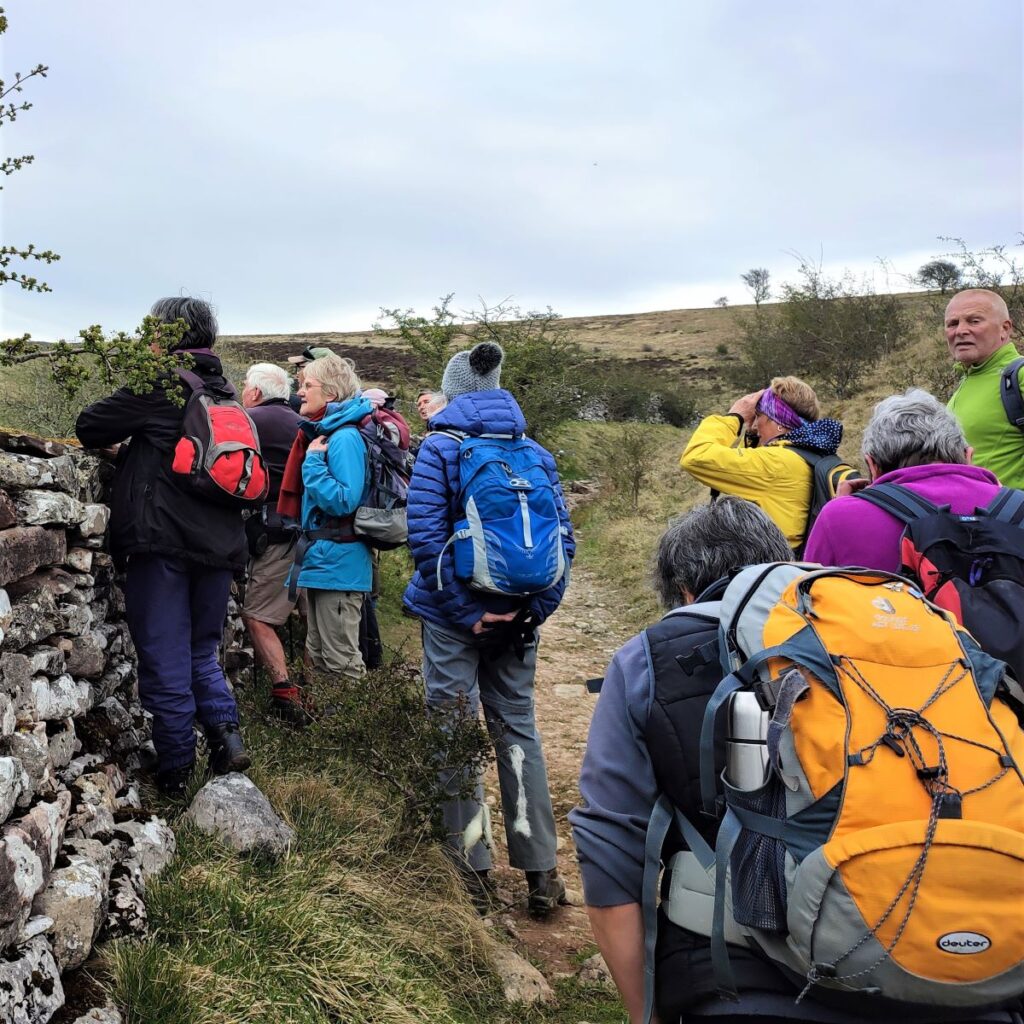
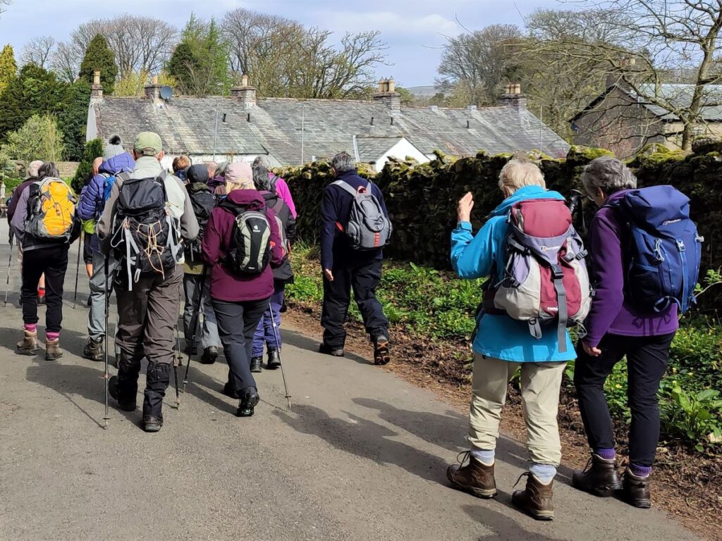
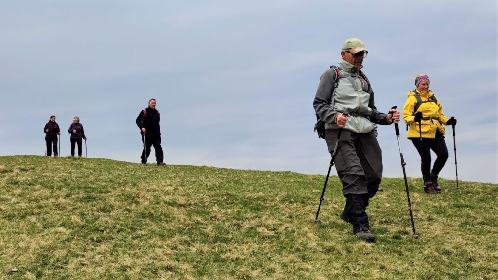
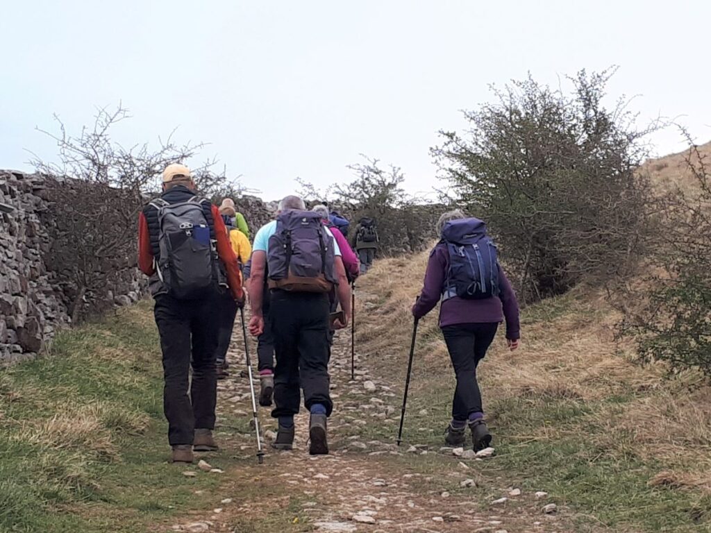
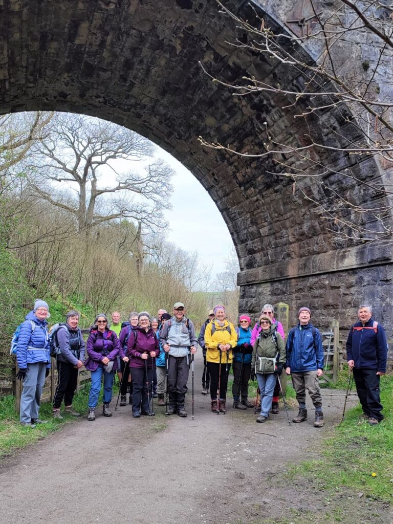
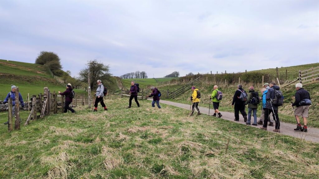
Bentham Footpath Group has enjoyed many good walks in the Howgills. This time we go just a little bit further North and explore Ravenstonedale, Smardale and the fantastic Smardale Gill Viaduct.
The viaduct alone is worth the trip, but this walk offers much more: a thriving nature reserve, great views back to the Howgills and Wild Boar Fell or across to Brough Castle and Warcop Fell, industrial archaeology, and free parking within walking distance of two award winning pubs.
Much of the route is on accessible paths so although the walk is long enough to be classed as moderate, it’s not too challenging and there are some potential shortcuts.
- Total distance 12.6 km (7.8 miles)
- Total ascent 328 m
- Moderate walk
Step-by-Step

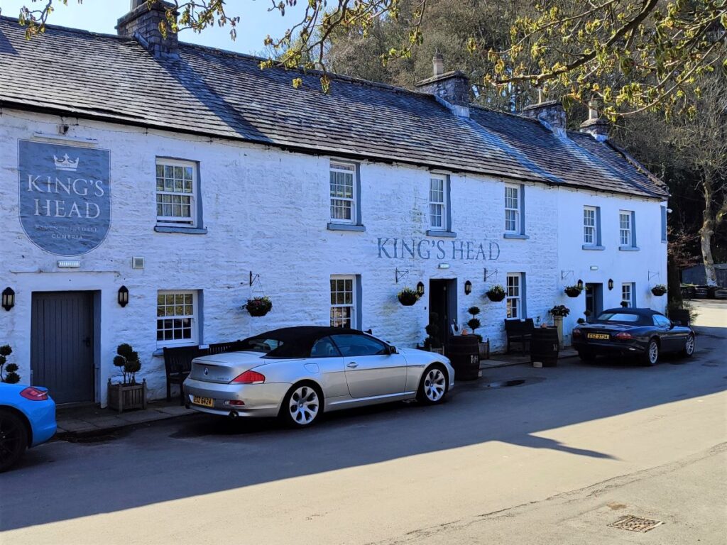
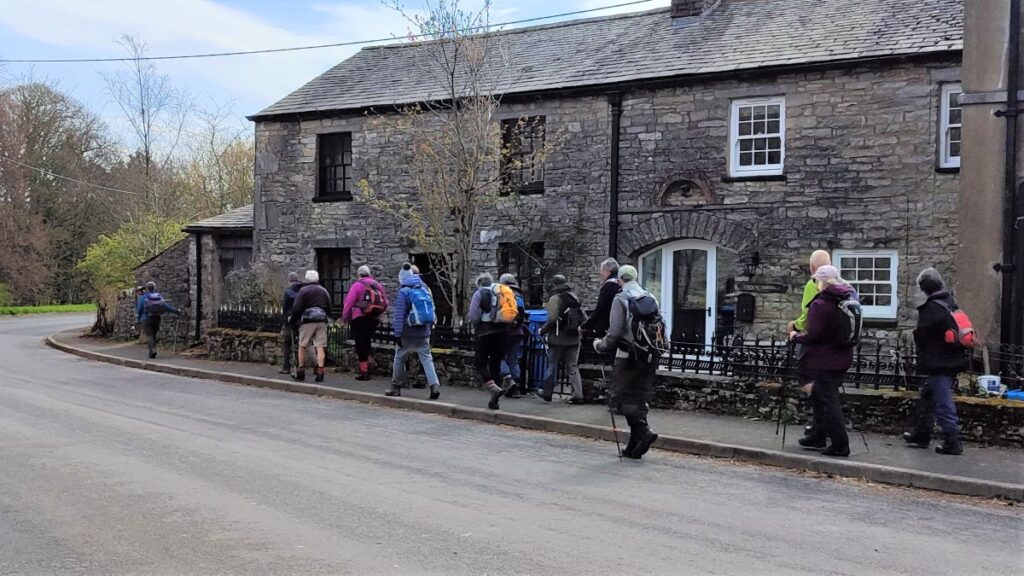
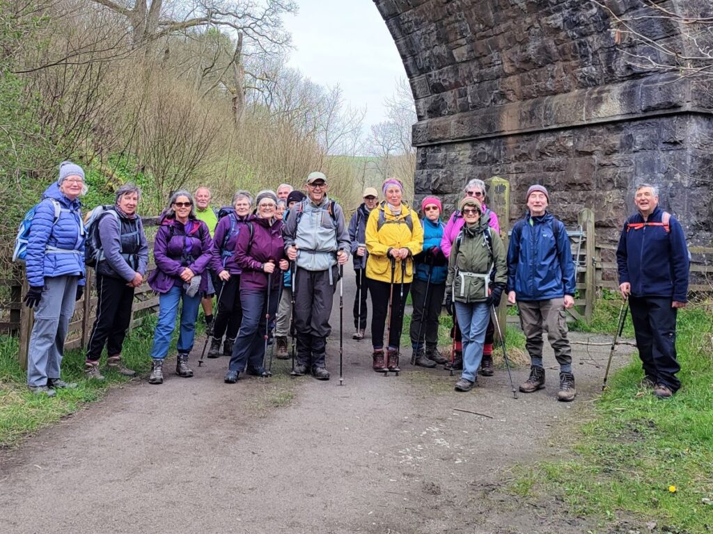
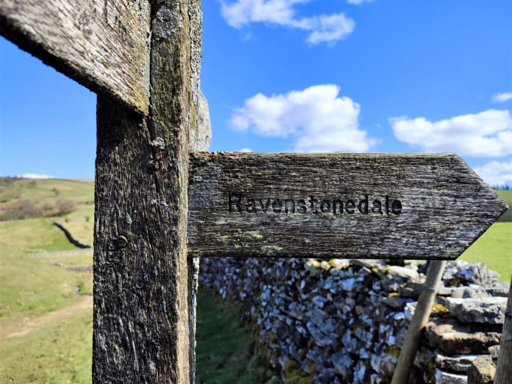
We start in the village of Ravenstonedale – there is ample roadside parking in the village. We started from the road at the side of the King’s Head pub, but anywhere in the village would work equally well. For those using Satnav to get to the start, the postcode for the pub is CA17 4NH, whilst paper map users need the grid reference NY72120428. If you prefer What-3-Words, then the tag is cadet.stated.fury
Although the walk starts in Ravenstonedale, our primary focus is the Smardale Gill railway viaduct. It is worth noting though that the Ravenstonedale has lots to offer, so why not set aside an hour or so before or after the walk to explore the village; There is an excellent village website at that is well worth visiting – click here to see it
We head off down the hill toward the beck at the front of the Kings Head pub – this is the oddly named Scandal Beck – the name is derived from the Old English for “Short Valley”. From there we turn right at the road and head up toward the main road (A685).
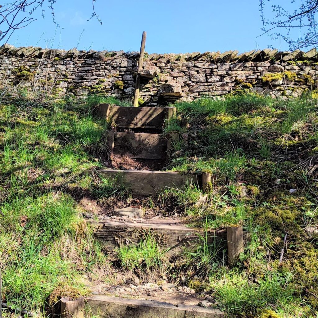
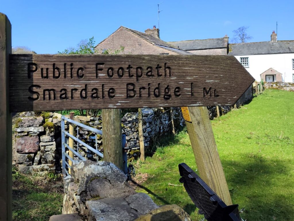
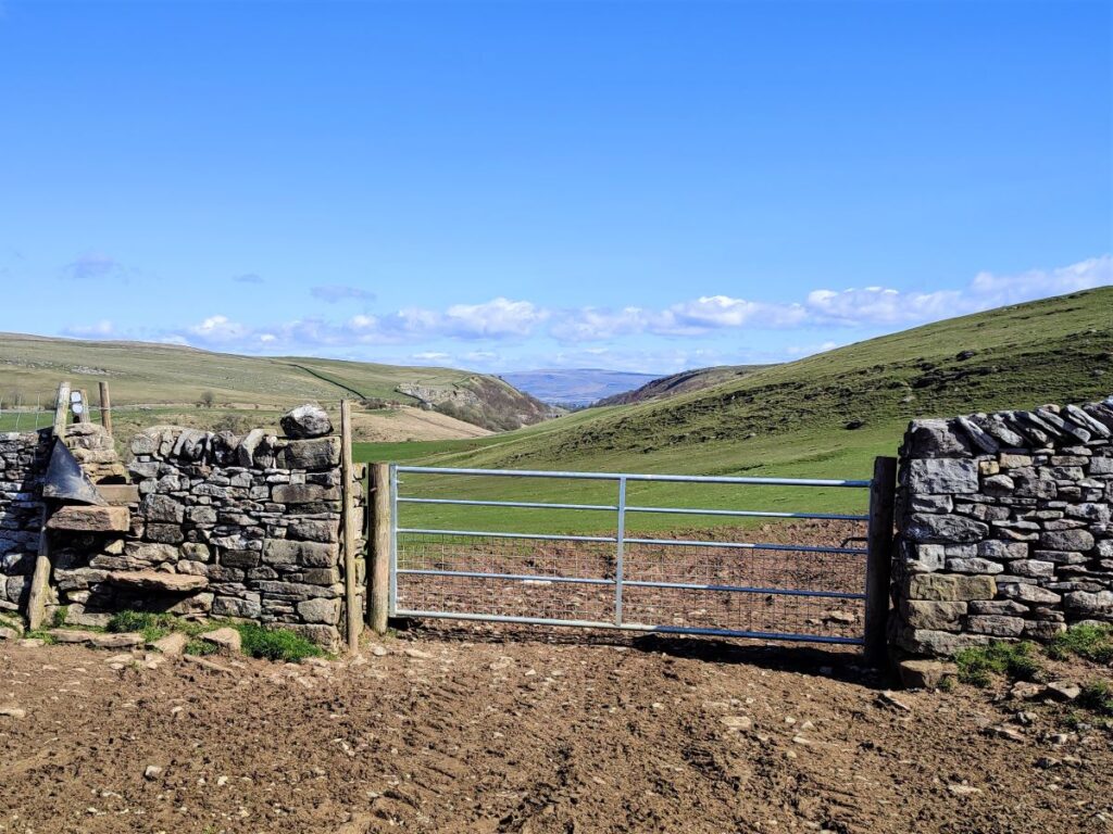
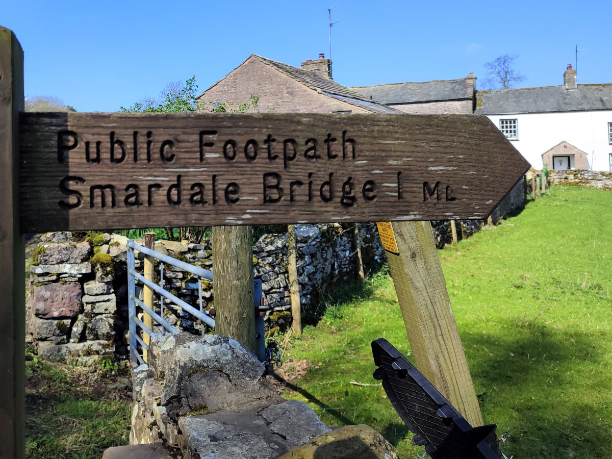
Before we get to the main road though, we see a footpath sign on the left (signed “Smardale Bridge”) which takes us across a field, via a stone slab footbridge, and on to a stile onto the verge of the A685 – the verge is wide and safe. We cross the road and find a set of steps up to another stile, from where we can see a metal gate ahead, where the path continues.
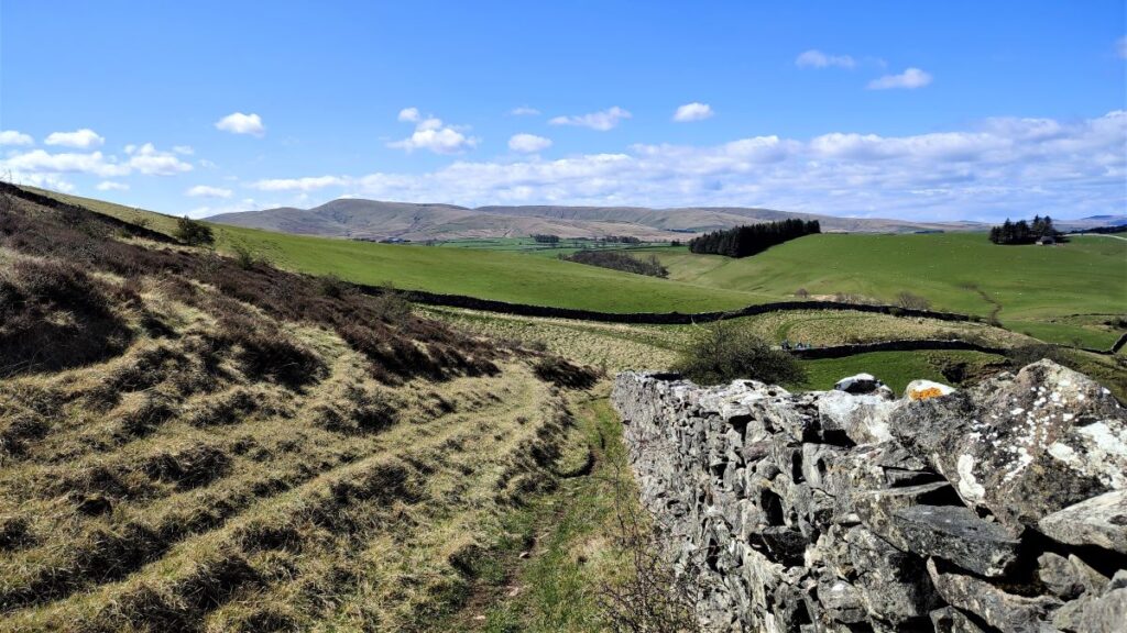
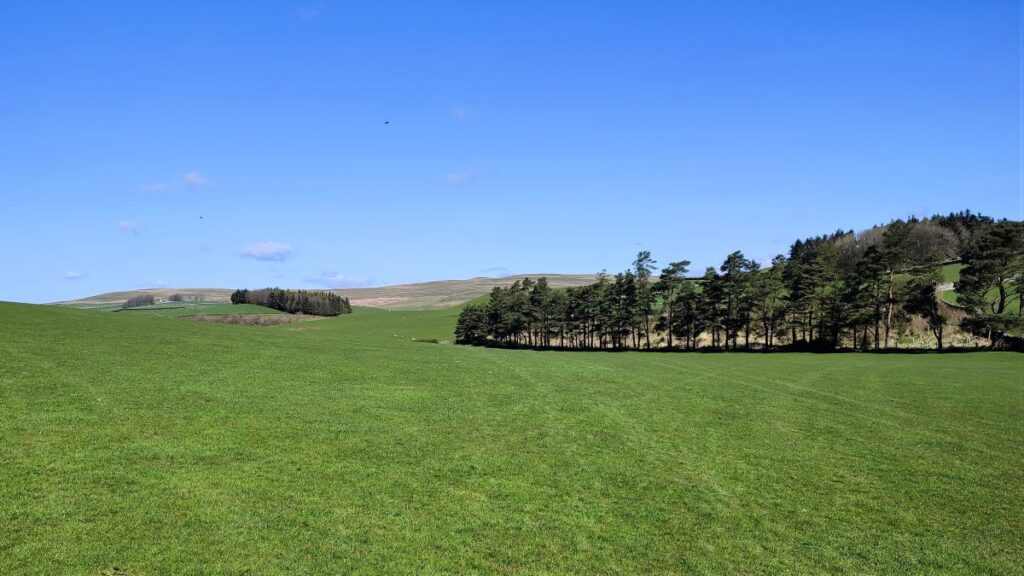
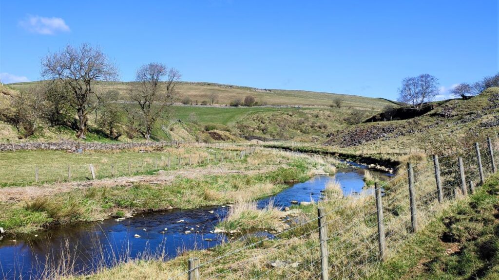
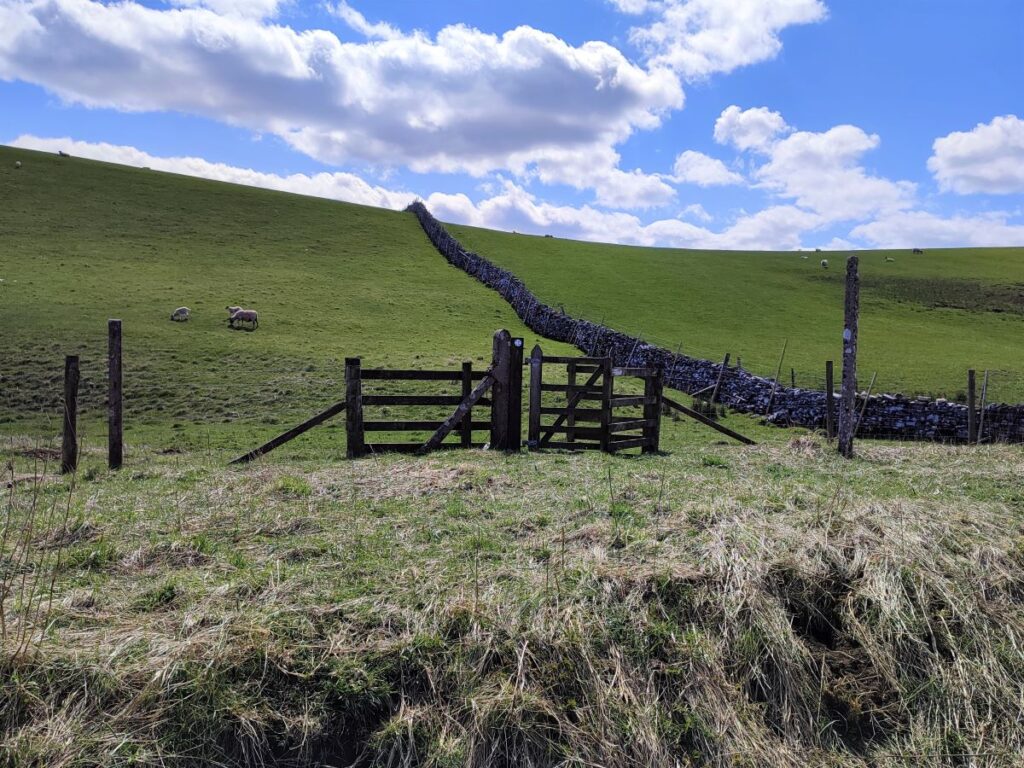
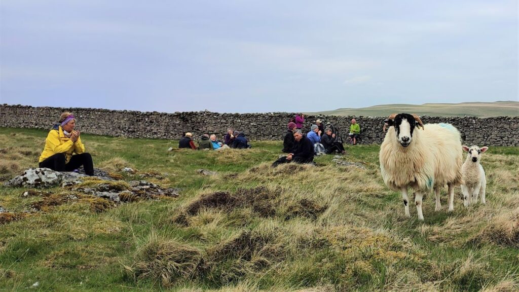
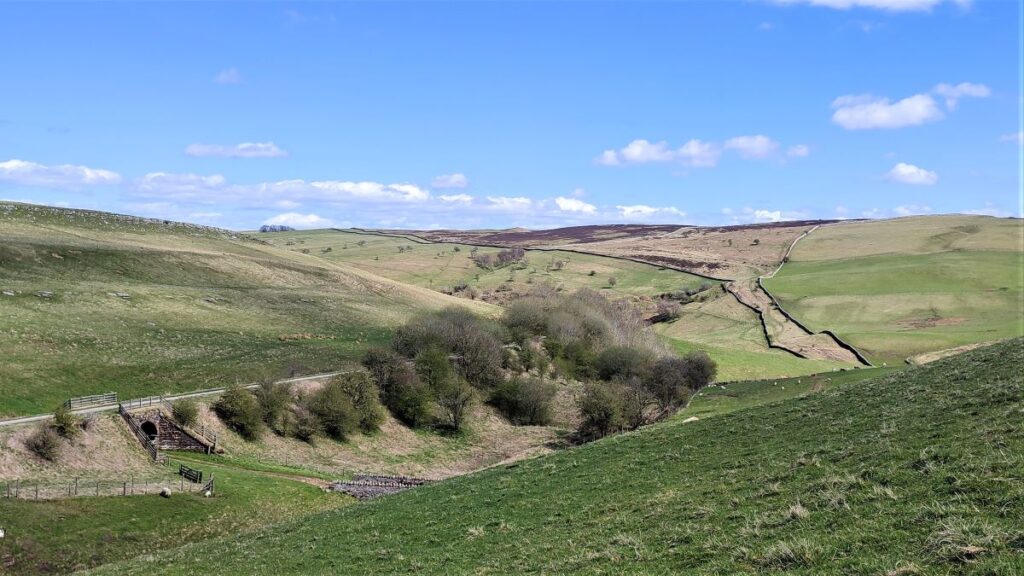
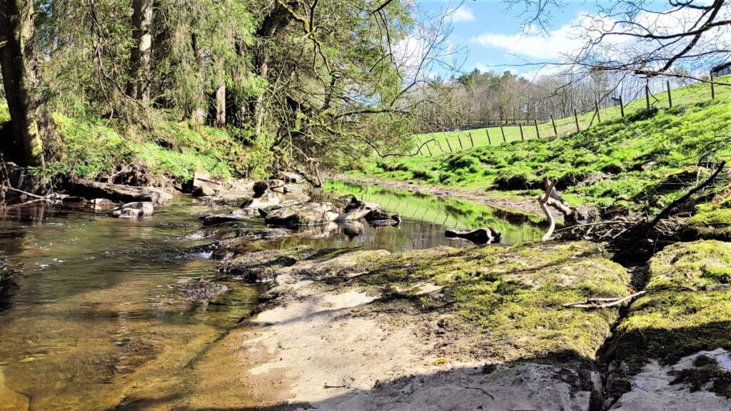
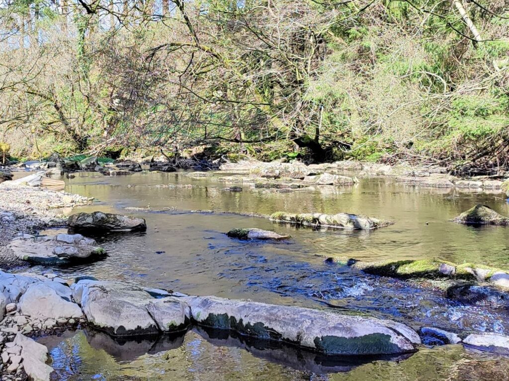
Beyond the gate we enter an area of gentle pasture – being grazed by ewes and lambs at the time of our walk. The path is not particularly clear, but the general direction is North, keeping the drystone wall on your right, heading toward the left hand edge of the stand of trees that lie ahead. As we crest the hill, we see the gate in the corner of the field next to the trees, and from here we continue in much the same direction contouring around the hill. At this point in the walk, we are tracking Scandal Beck upstream – its not visible in the first part of the walk, but we soon see it and then get a glimpse of the packhorse bridge that we pass slightly later.
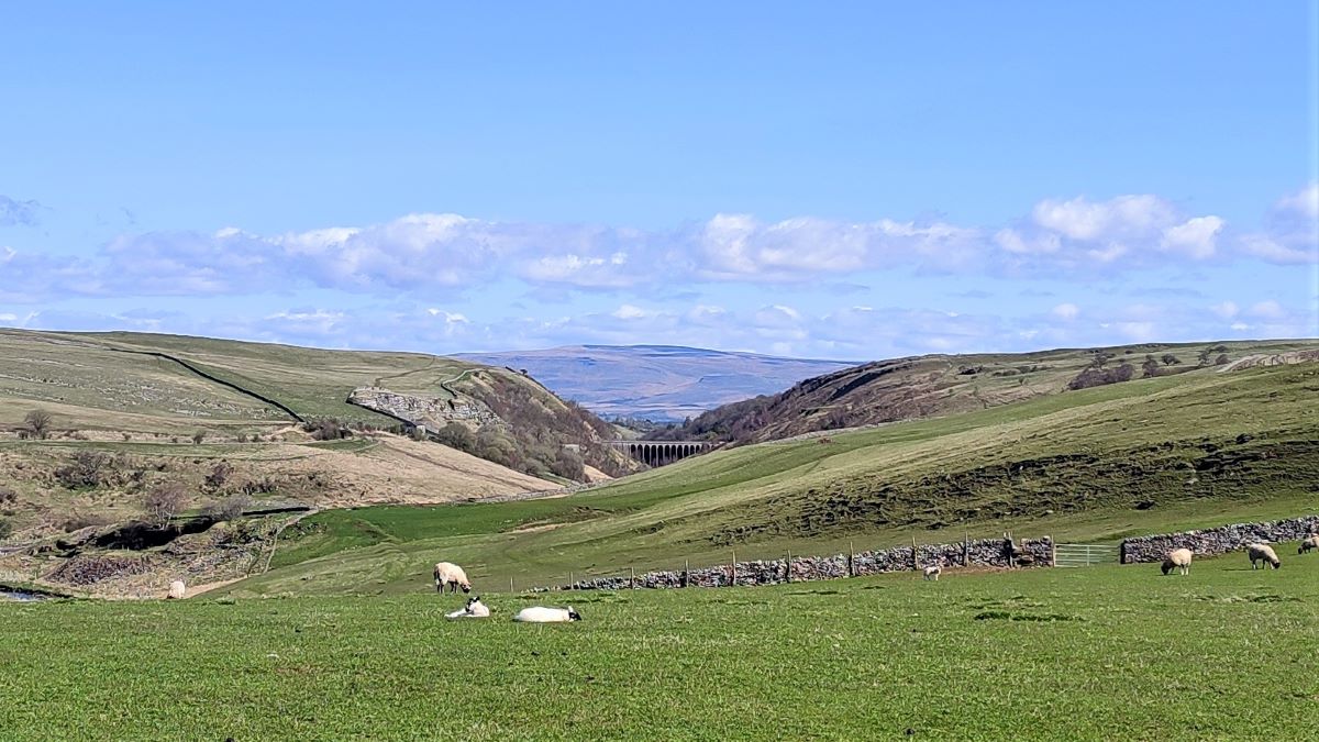
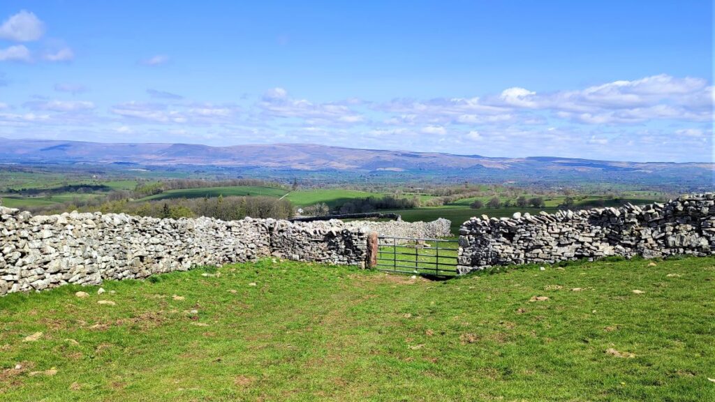
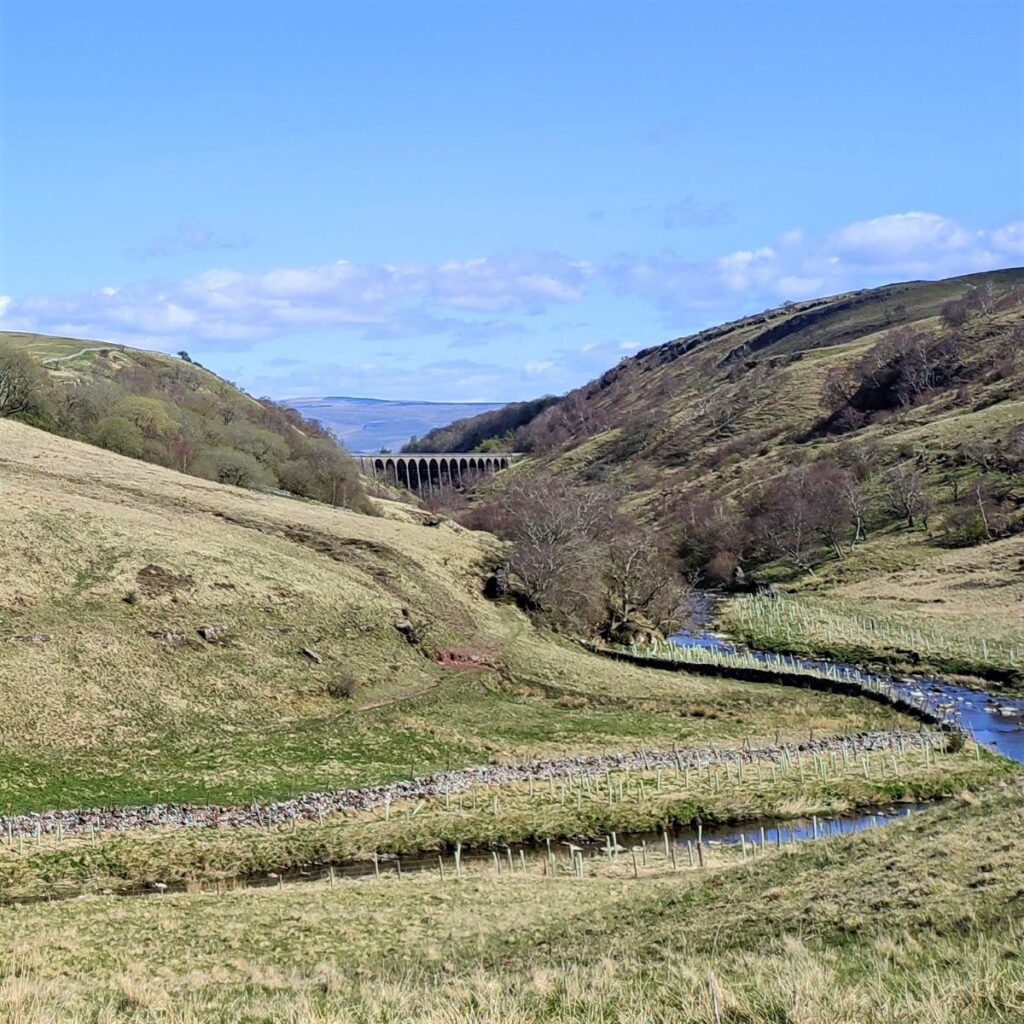
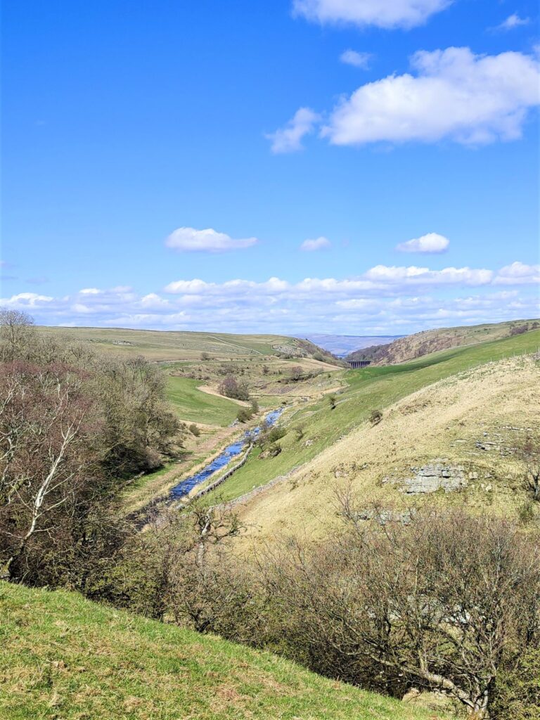
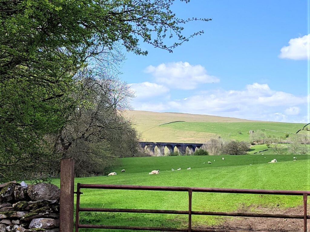
The beck curves round to the right, as does our path, and we see a gate in the drystone wall ahead of us. We head there and as we do, we start to see the magnificent Smardale Gill Viaduct in the far distance. To our right at this point is a rocky outcrop with the curious name of Breakyneck Scar.
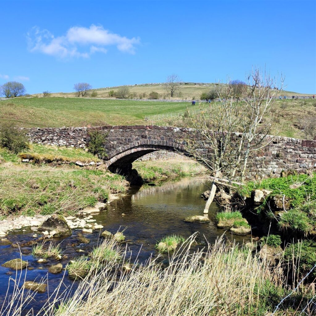
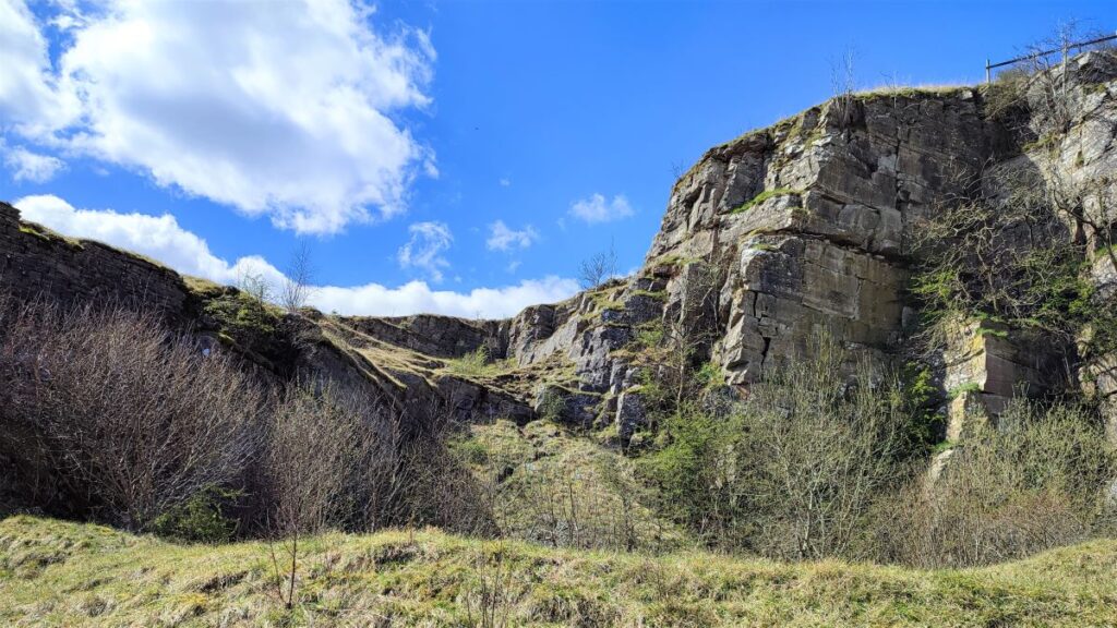
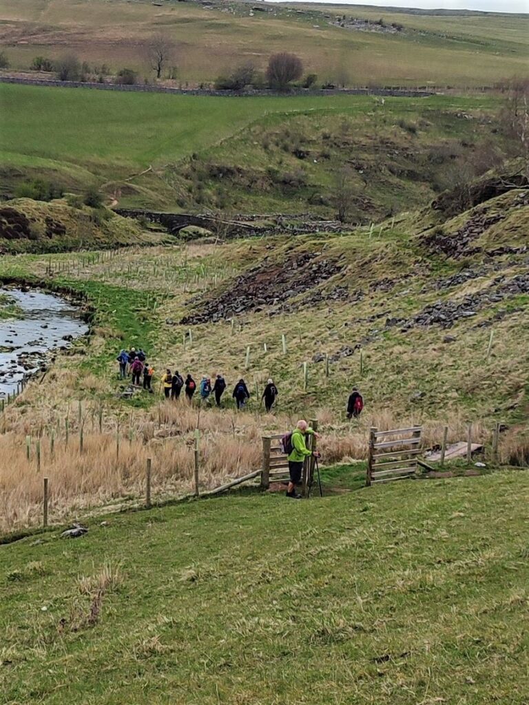
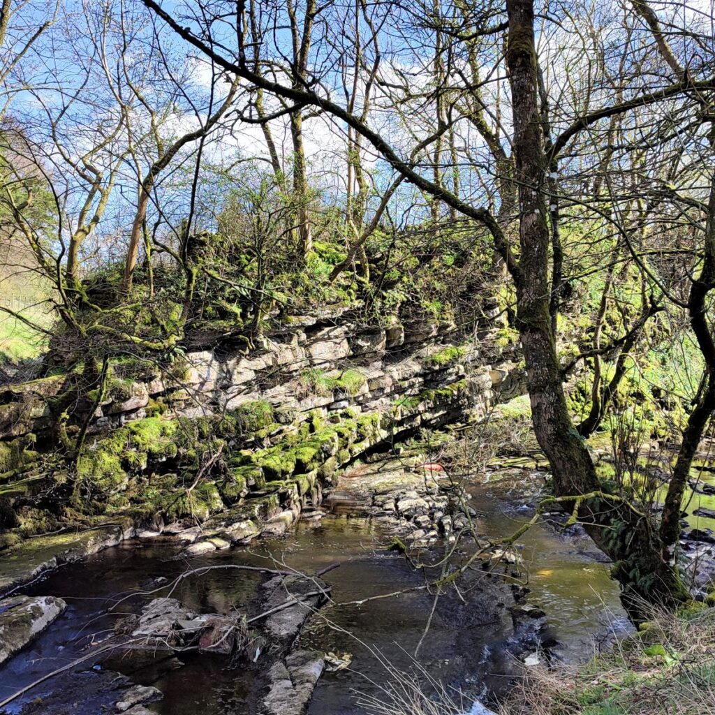
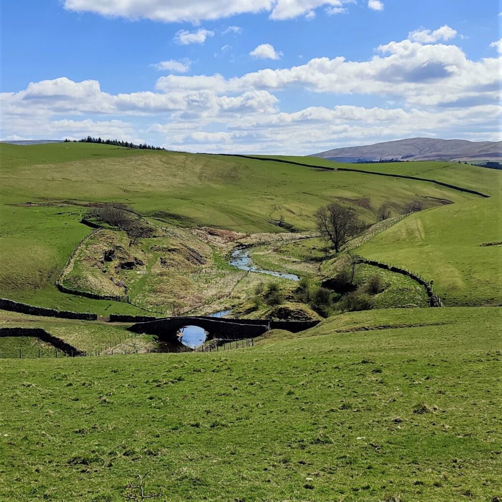
From the metal gate, we head downhill and North to meet the beck – the path goes through a disused quarry adjacent to the river, and then to a track which comes up from the lovely 18th century packhorse bridge. There is also a farm track that runs above it so if you find yourself drawn along the farm track and therefore above the quarry, simply head left afterward to get back to the gate onto the track from the bridge.
Once we are on the track above the bridge, we need to turn right and head uphill – but if you want to take a few minutes to look at the bridge feel free – we pass this way again later in the walk, so you will have another opportunity.

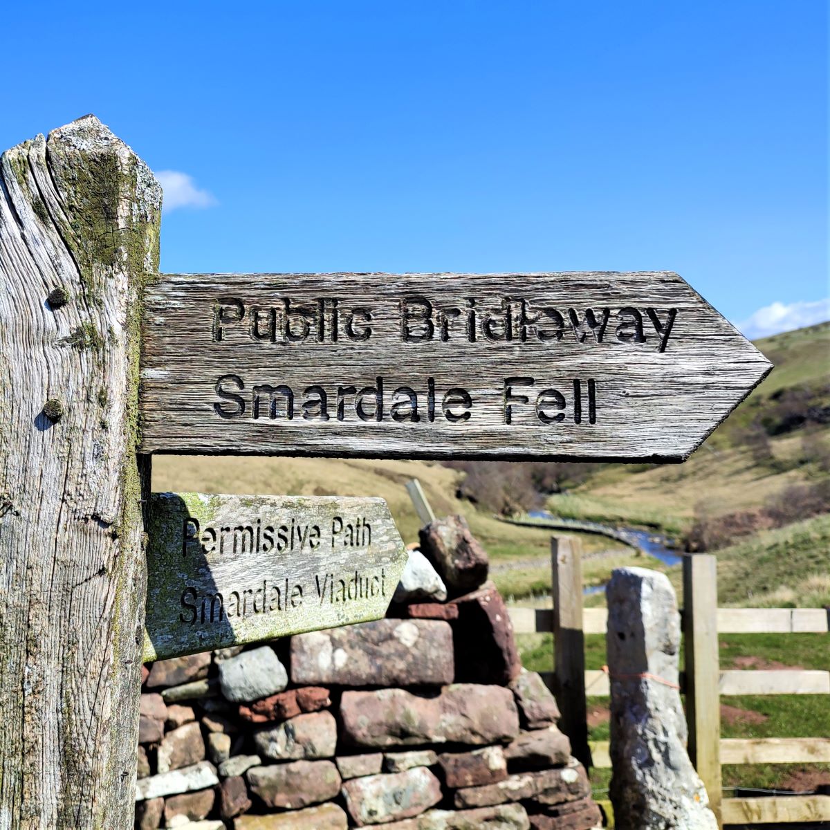
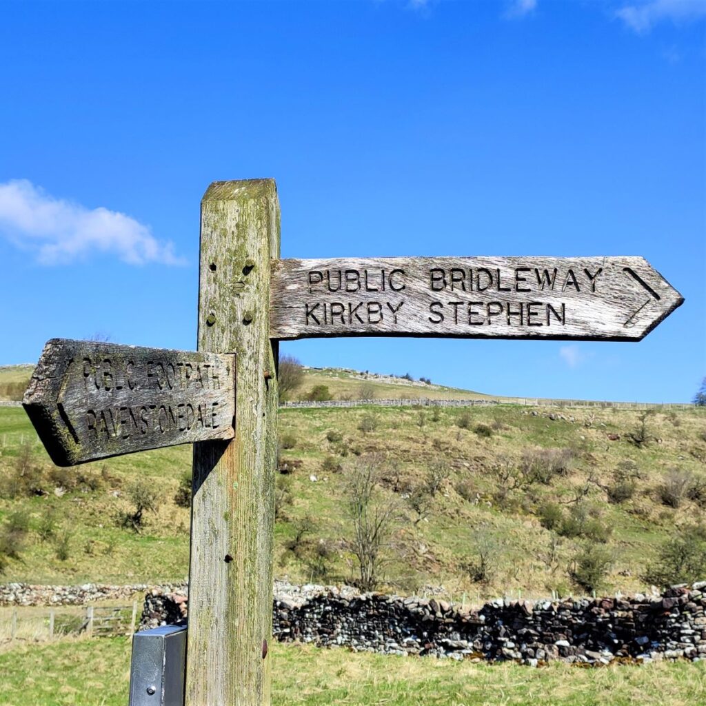
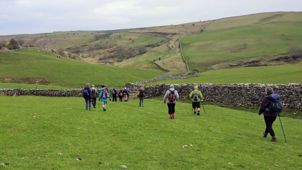
We now head uphill, between two drystone walls on a clear track signposted as a public bridleway to Kirkby Stephen. Before long we see a permissive path leave on the left to head toward the viaduct. Although the viaduct is indeed our destination, we don’t take this path – we head onward on the bridleway and track uphill keeping the drystone wall on our left. It is worth noting though that the other end of that path is accessible from the North end of the viaduct, so if a shortcut is required on the way back, this is a useful option.
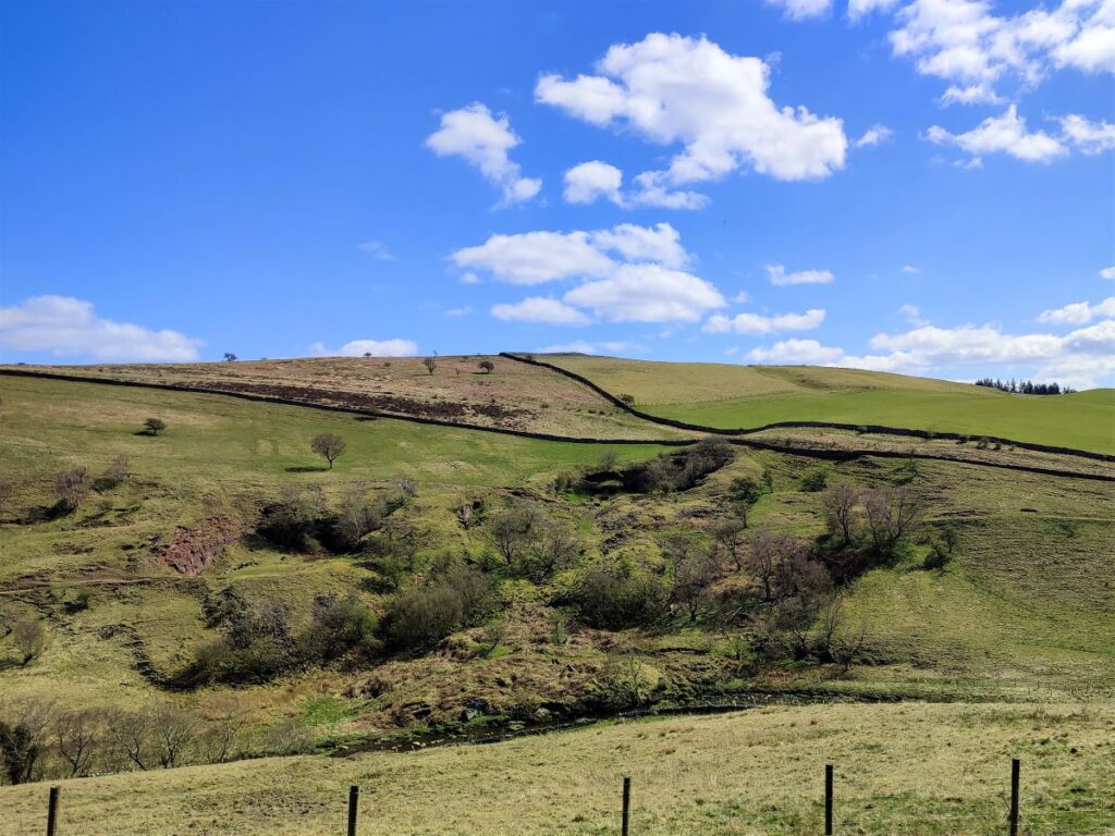
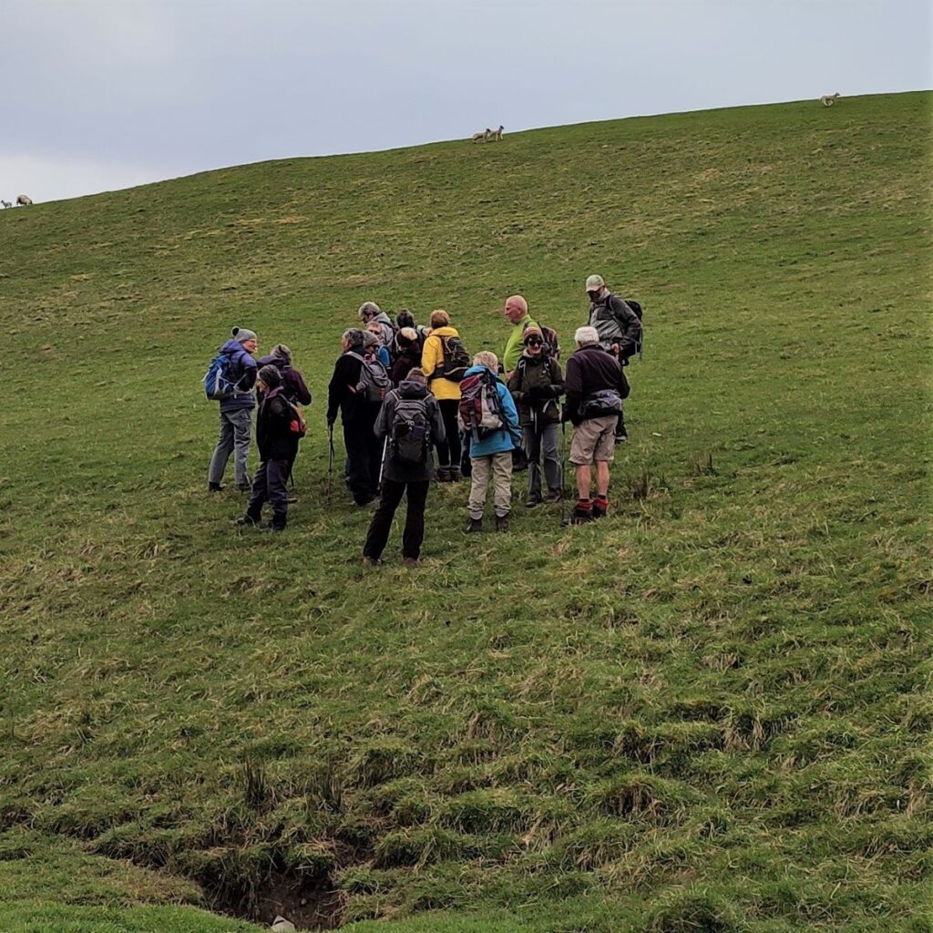
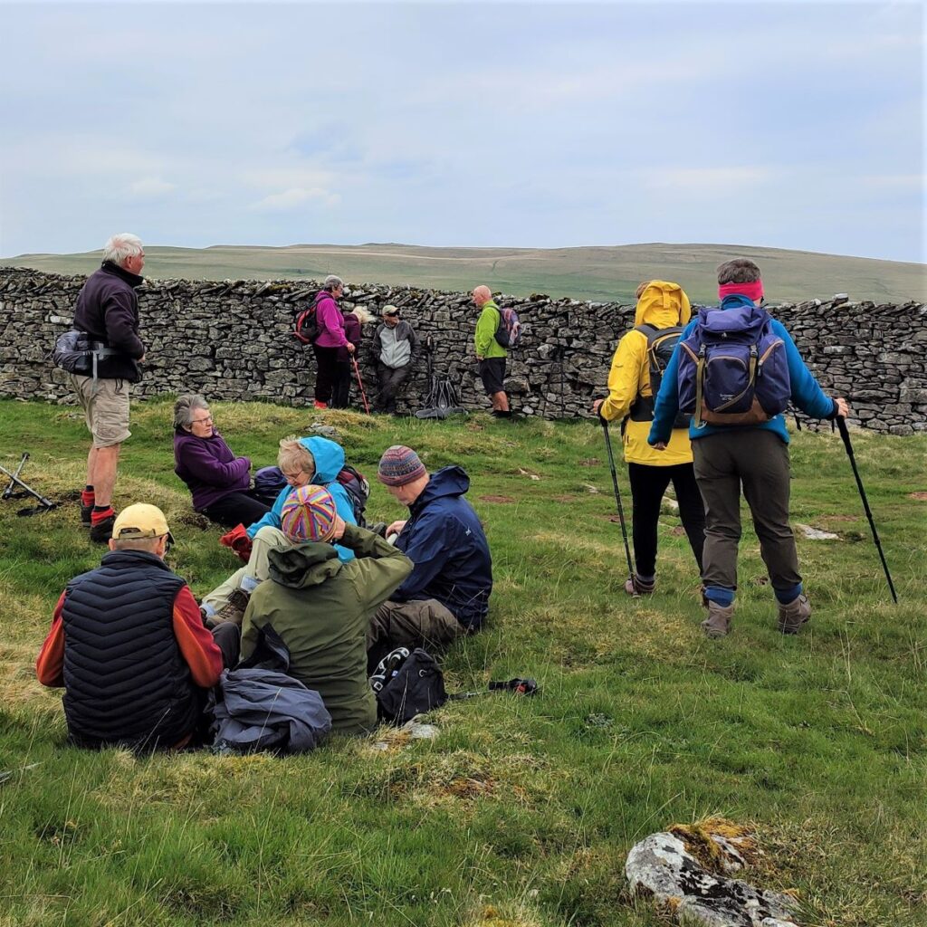
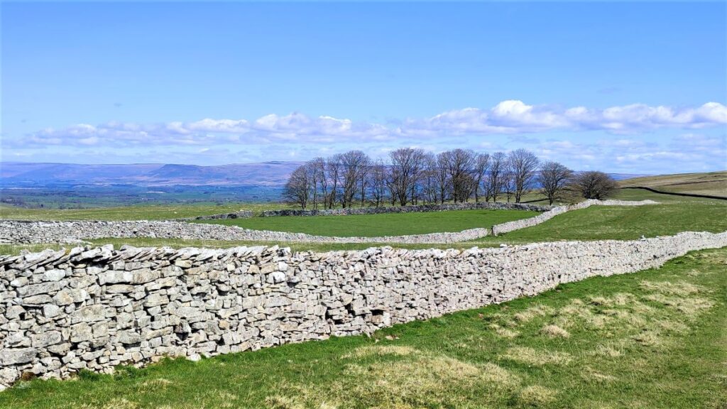
We press on uphill for a while now, losing sight of the viaduct as we head up onto Smardale Fell. The route is clear to start with, but then branches many times. In fact, the branches always come back together so there we don’t need to worry too much about navigation – as long as we keep the wall on our left within sight.
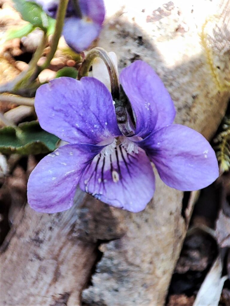
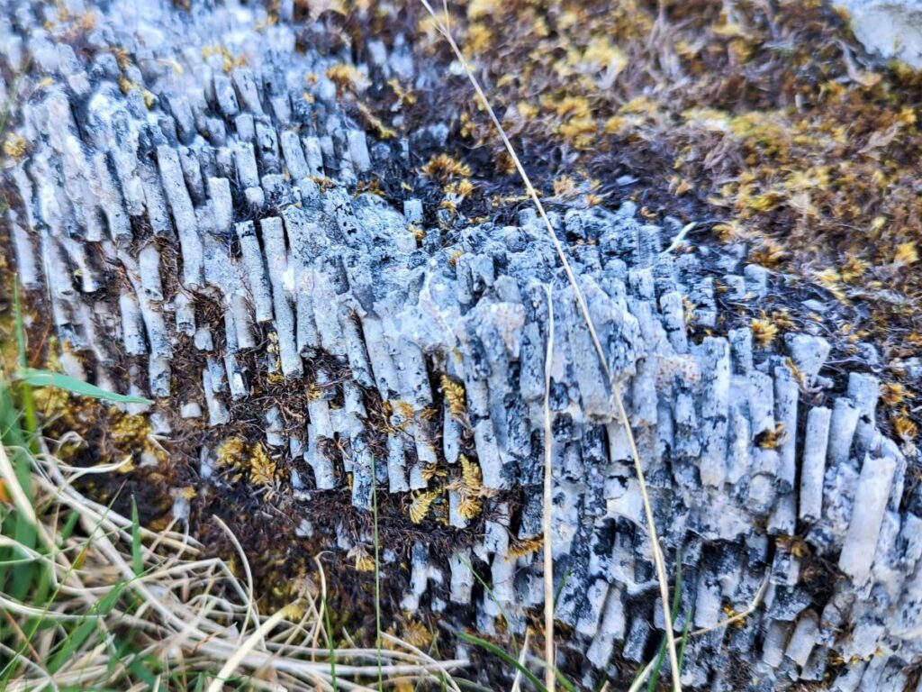
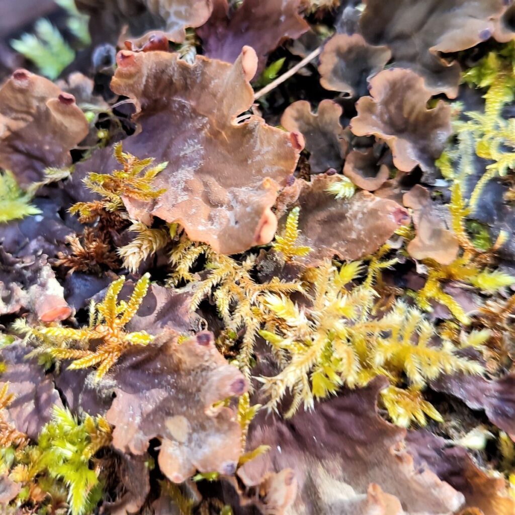
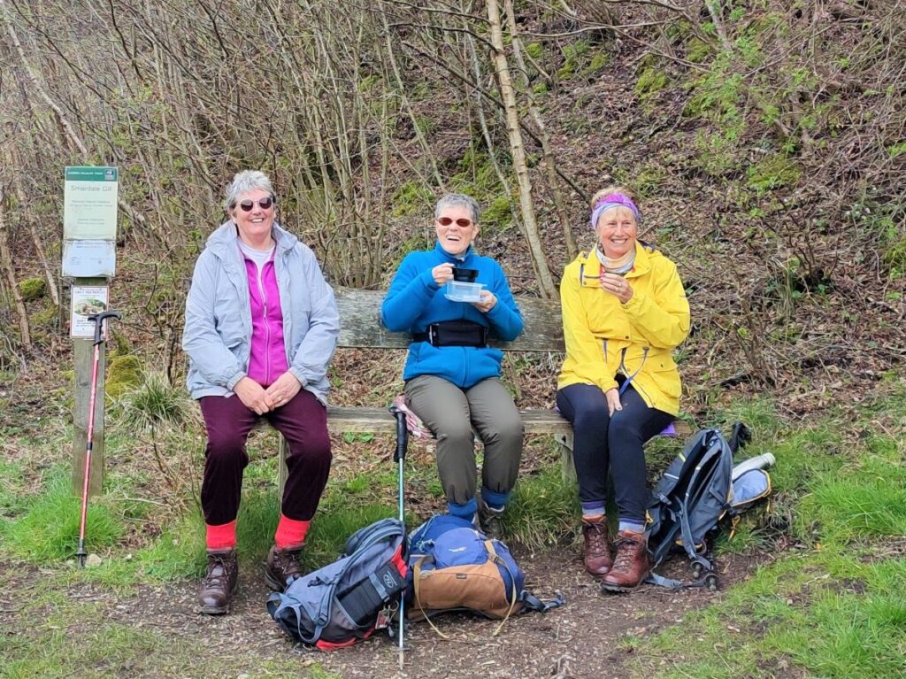
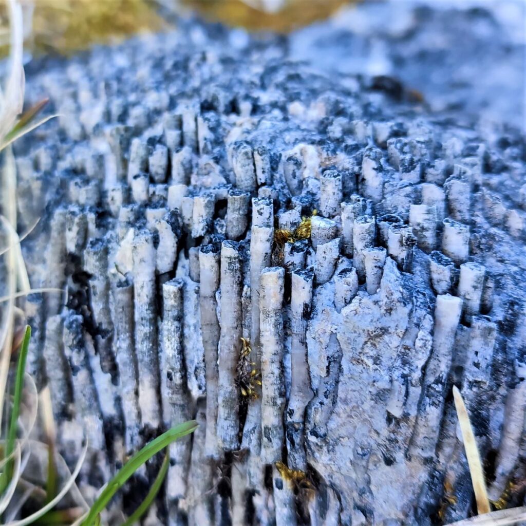
Once we get to the top of the fell, the path levels out and we see an attractive stand of trees ahead of us to the left. We took the opportunity to sit on some protruding rocks here whilst we enjoyed a break and found interesting crinoid fossils in the limestone.
Have a look at this website for an interesting explanation of what these fossils are.

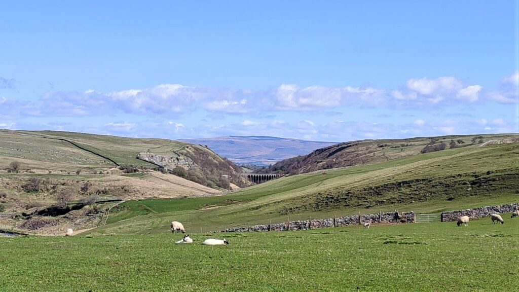
We now head generally north still keeping the wall to our left, and as we start to go downhill, we can see the Settle to Carlisle rail line ahead of us, Smardale village just beyond that, and Kirby Stephen in the far distance, with Brough Castle visible on a clear day. Further over to the left and in the far distance are the Warcop Fells.
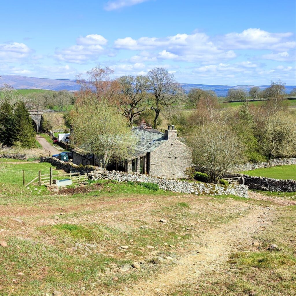
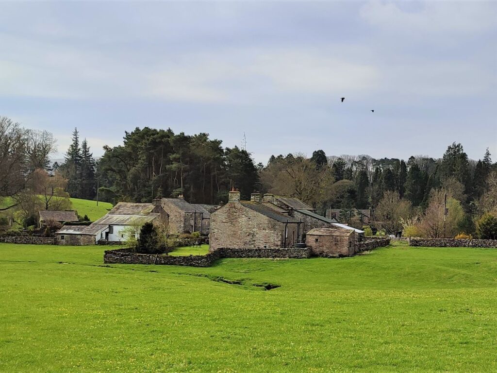
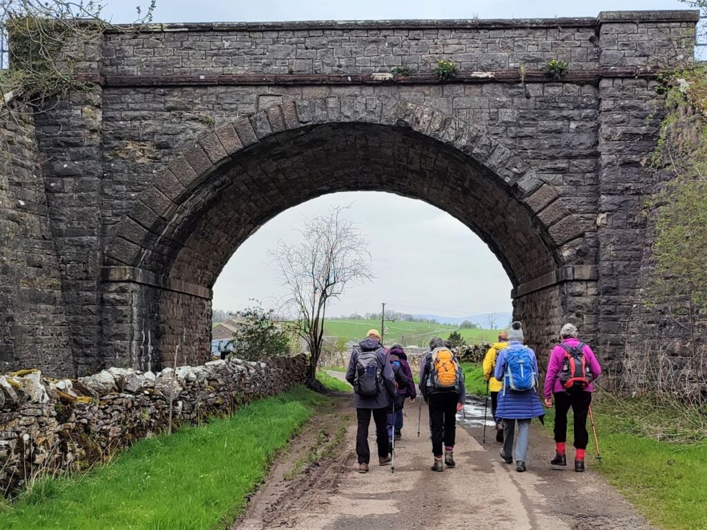
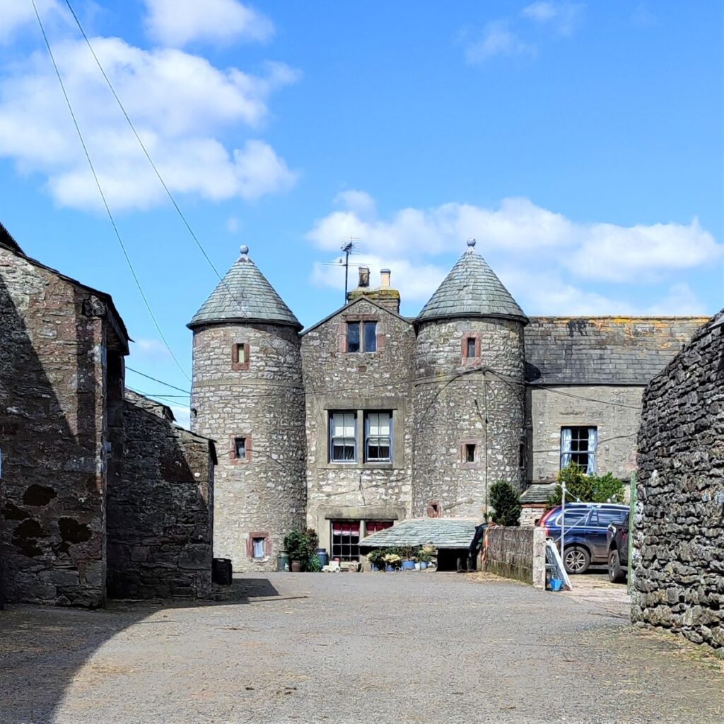
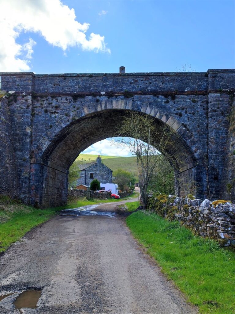
We head down to a gate onto a road at the edge of Smardale. The final part of this is quite steep, so take care if the ground is wet. Through the gate, we are onto a flat lane with Smardale Hall ahead us beyond the railway bridge.
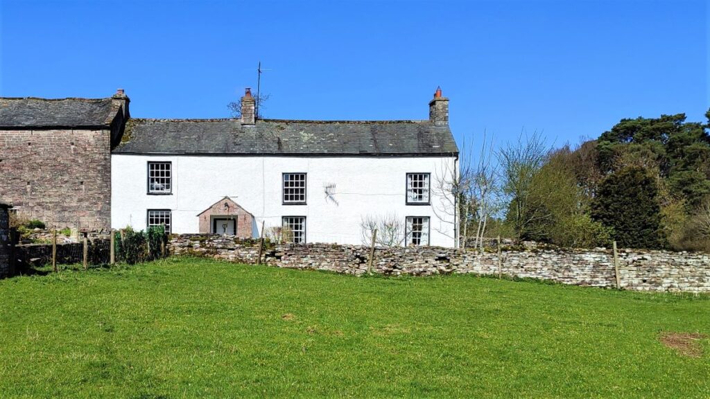
We follow the lane past Smardale Hall. This interesting hall was built in the 15th and 16th centuries. The four towers – one at each corner, create a medieval appearance, although the house is not in fact quite that old. It is thought that there was originally a 14th century pele or tower house on the site, but much of this was demolished to enable the building of the present hall. There are however earthwork remains of another medieval house in the grounds of the hall, as well as the earthwork remains of a medieval motte.


We continue up the lane until we arrive at a road junction – this is School Lane, and to our left we see the station master’s house for the station opened in 1861 by the South Durham & Lancashire Union Railway.
Smardale was the smallest station on the line serving only a few farms and isolated houses. The station had a single platform extending under the road bridge. Although the line opened on the 1st August 1881, Smardale didn’t appear in public timetables until September, although freight records suggest that goods trains called there. There were two goods sidings with a loading dock on the up side of the line – there are still remains of these structures. Initially there was no signal box at Smardale but one was provided by the mid 1890’s. The box was however short lived, closing after WW1, and it has long since been demolished. Smardale closed to both passengers and freight in December 1952 – long before the Beeching cuts.
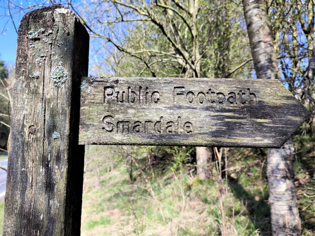
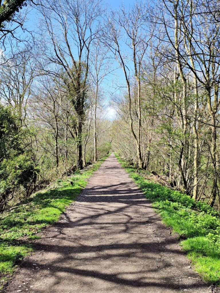
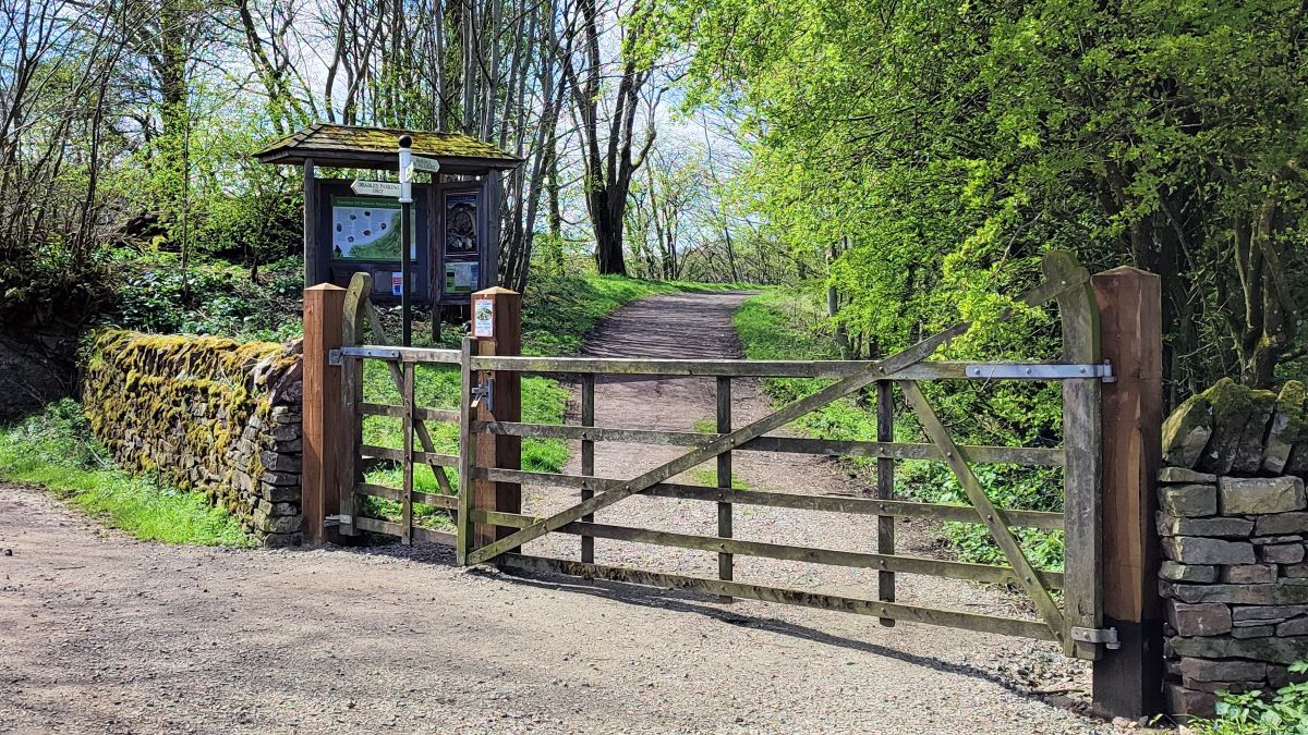
We head out to the left on Beck Lane and look for the start of the Smardale National Nature Reserve – this is on our left just off the track to the rear of Smardale Hall, and it follows the old railway line along the track bed for several miles.
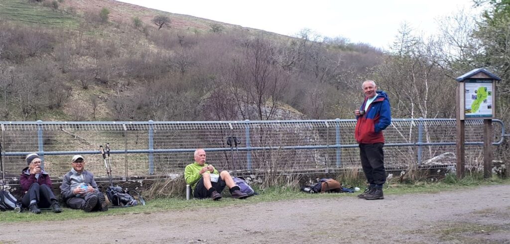
There is an information board at the start of this accessible path (with disabled parking also available at the start) which outlines the many rare species of flora and fauna that may be seen here. You can also visit the Cumbria Wildlife Trust website by clicking here for more information.
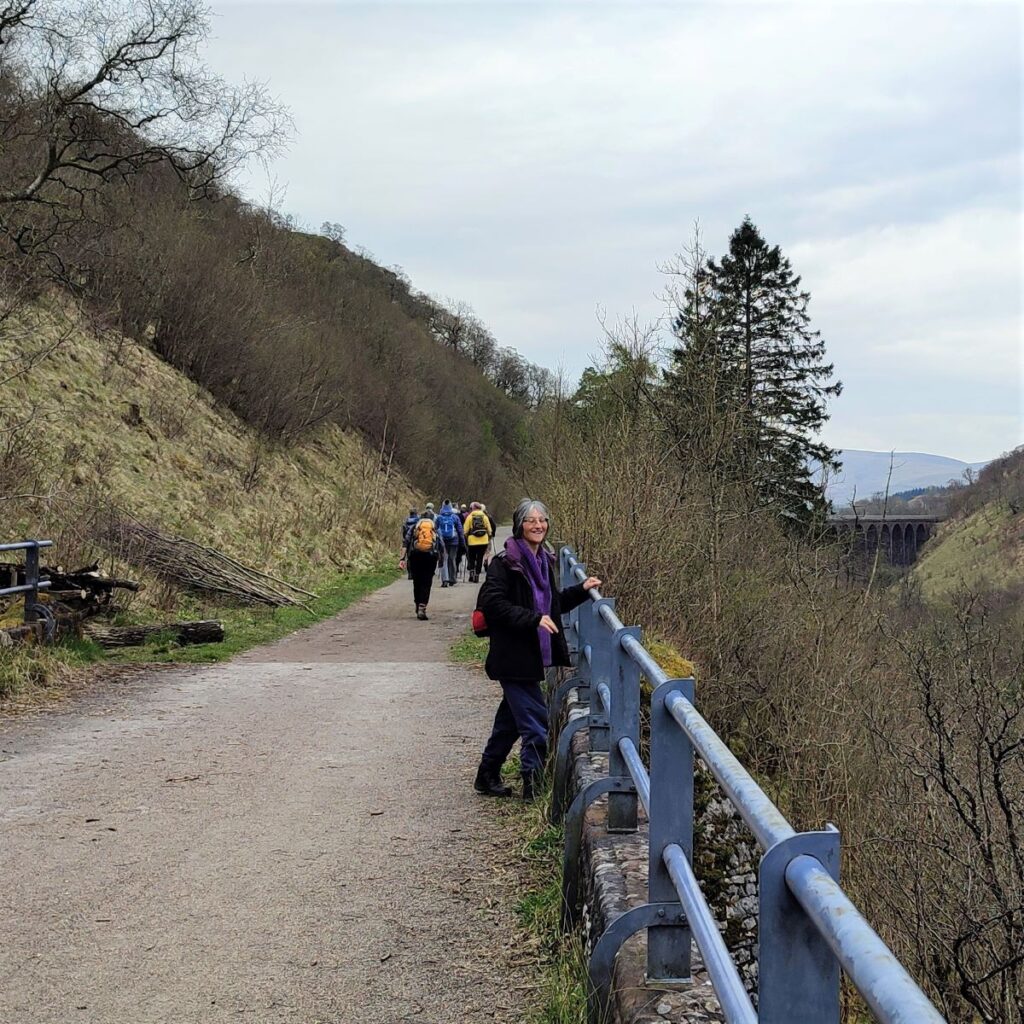
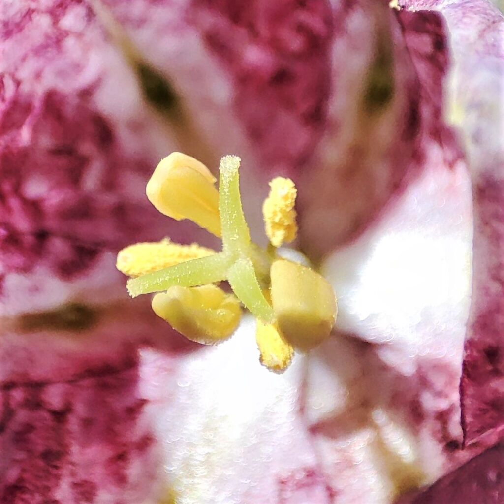
We head down the track for a while now passing under the Settle to Carlisle line with its own splendid viaduct visible on the right and continue until we arrive at the north end of the Smardale Gill viaduct. On the way it’s worth keeping an eye open for red squirrels, lizards, and the many species of butterfly that thrive here, including the rare Scotch Argus.
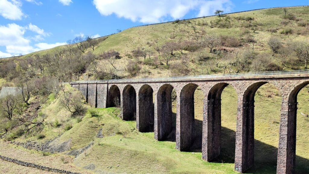
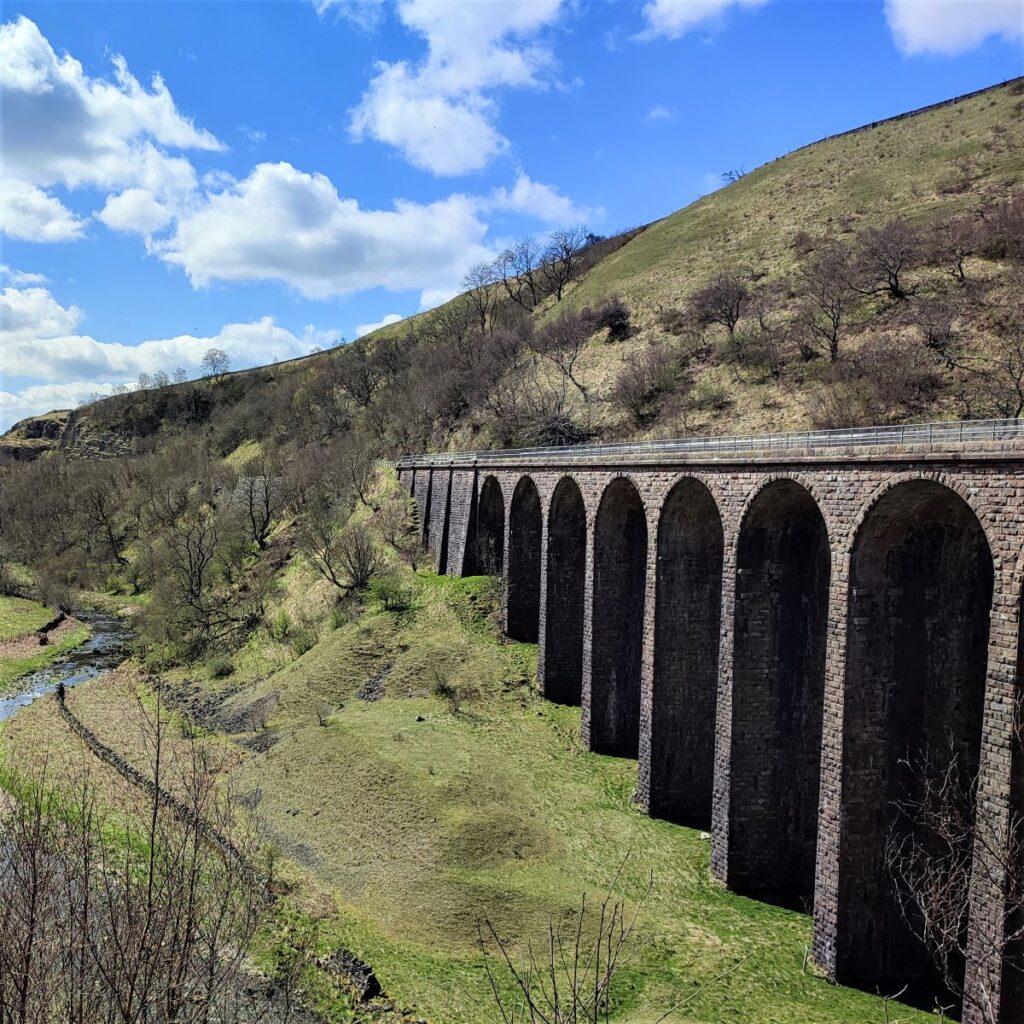
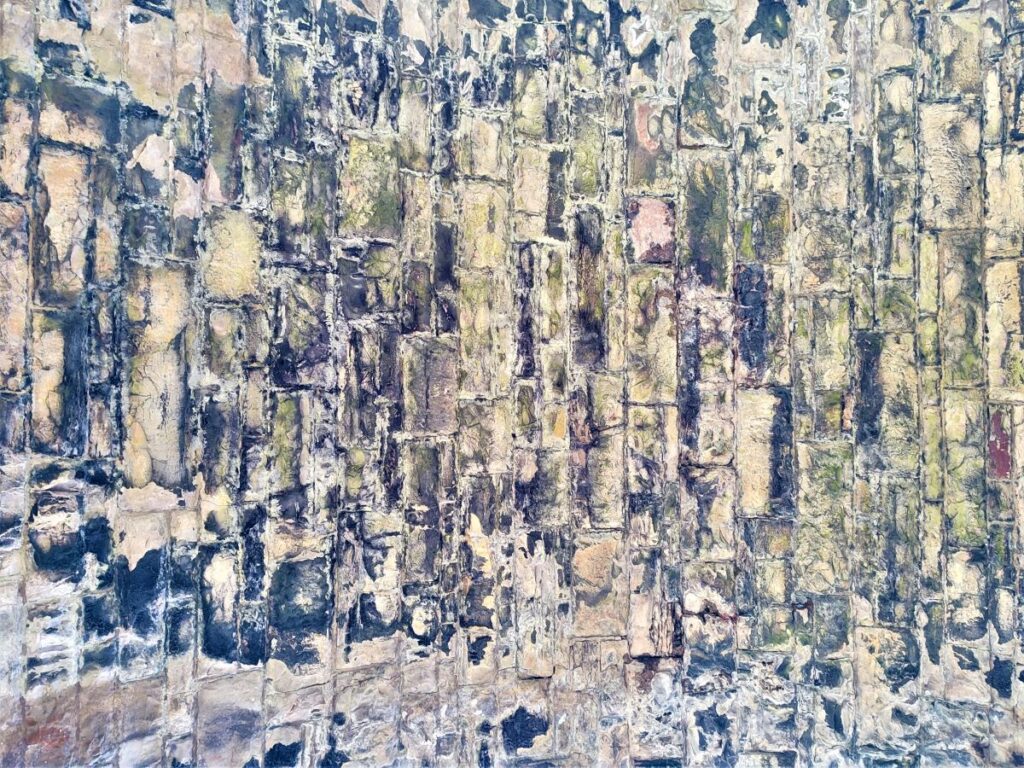
The viaduct was designed by the Cumbrian engineer Sir Thomas Bouch on behalf of the South Durham and Lancashire Union Railway, which served to carry coke to the iron and steel furnaces in the Barrow area and West Cumberland. The viaduct runs across the Smardale Gill, and Scandal Beck, 27m high above the valley and was constructed of locally quarried sandstone featuring 14 arches of 10m span, over a total length of 170m.

It was built in 1861 by Mr Wrigg, a contractor from Preston at a cost of £11,298 – a number that equates to about £1.2 million now. The viaduct was wide enough for double track, but never carried more than a single line of rails. It closed after steelmaking finished and for many years the viaduct stood disused and deteriorating from lack of maintenance and exposure to the weather.
British Rail intended to demolish it as it became dangerous when masonry fell from several of the piers, but Eden District Council stepped in and arranged for it to be listed. British Rail offered £230,000 (the estimated cost of demolition) towards its restoration if a charitable trust could be formed to raise the balance and accept ownership. The Northern Viaduct Trust was formed in 1989 with funds raised via grants from a number of organisations, including local authorities, the Countryside Commission and English Heritage.
In 1992 it was formally handed over to the Trust, together with the nearby Drygill Bridge, to become a permissive footpath. It is now listed Grade II* and has won a National Railway Heritage Award.
The future of the viaduct is not guaranteed however, and funding is always needed, so to learn more about the viaduct and the ongoing funding needs as well as lots of interesting background information and video, please click here.
The permissive path that we saw leaving the Smardale Fell Bridleway earlier in the walk is visible at the north end of the viaduct, so if a shortcut back to Smardale is required – this is your opportunity.
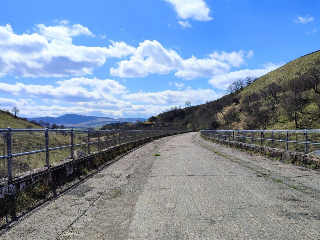
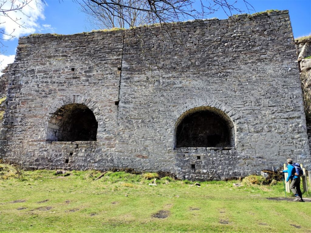
For those enjoying the full walk, we carry on across the viaduct – be prepared for this to be windswept. At the end of the viaduct the track bed continues as a path for several miles. Our first landmark is a huge limekiln – this was not built to help in the construction of the viaduct, it came later as the presence of the railway created a commercial opportunity.
We press on past a pair of abandoned railway cottages, and under an access bridge until we find ourselves on an open stretch of the line with excellent views back to Ravenstonedale and of the packhorse bridge. There are a number of paths which leave the railway track in this section, but we press on for now until the line curves round to the right and we see a way marker on the left at a kissing gate. From the gate we head slightly left to cross a small beck (at Several Gill) before heading over the hill to find a track which leads down to the packhorse bridge, via a metal gate.
As the track approaches the bridge, we see a stile on the right. This is our route back to Ravenstonedale, so if you are taking a moment to visit the bridge, remember to come back to this stile.
Directly ahead, we see a stand of trees, and we need to head just to the left of the tree line to find a metal gate that accesses a path running below the woodland.
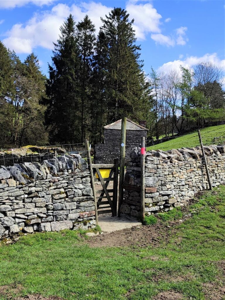
This gradually becomes a track which ends at a further gate which takes us into a wide field with views over a farm and on to Ravenstonedale. We are heading for the track clearly visible at the farm, but don’t be tempted to go in a direct line as this will bring you to a very steep descent. Instead go slightly right first and aim for a pink marker post which soon becomes visible.
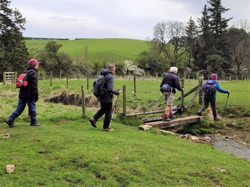
From here you will see a gate in the bottom corner of the field next to a stream crossed by a wooden plank bridge. Cross the bridge and pick up the track, following it round to the left until you see a gate in the drystone wall below.
From here the path goes behind the barn and along the side of Scandal Beck and back into the village, via an underpass at the A685. As you arrive at Ravenstonedale, you will see the Kings Head just to the left – an excellent place to end a walk.
- Total distance 12.6 km (7.8 miles)
- Total ascent 328 m
- Moderate walk