Jump to . . .Step by Step | OS Map | Downloads | Gallery | Fly through
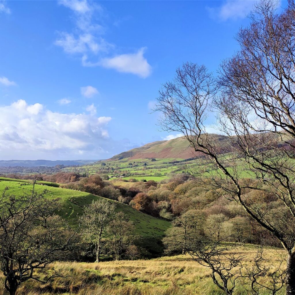
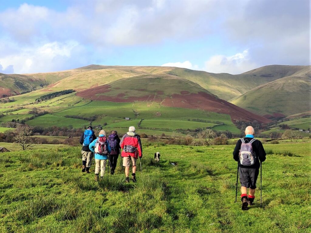
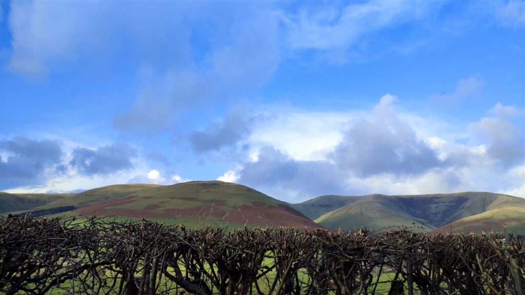
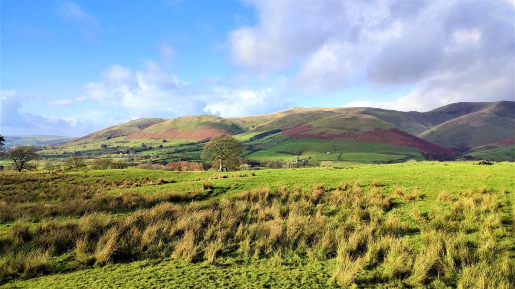
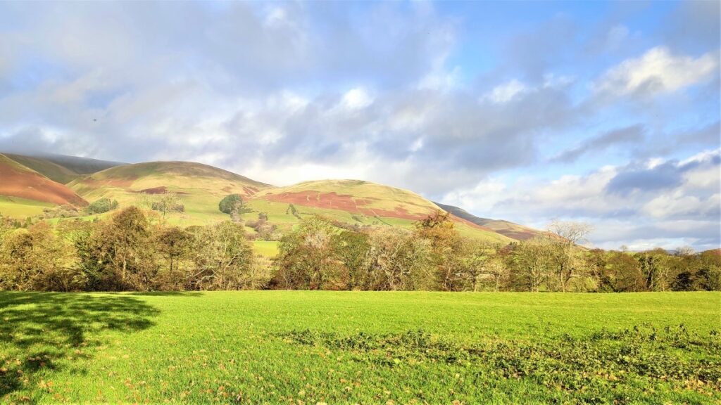
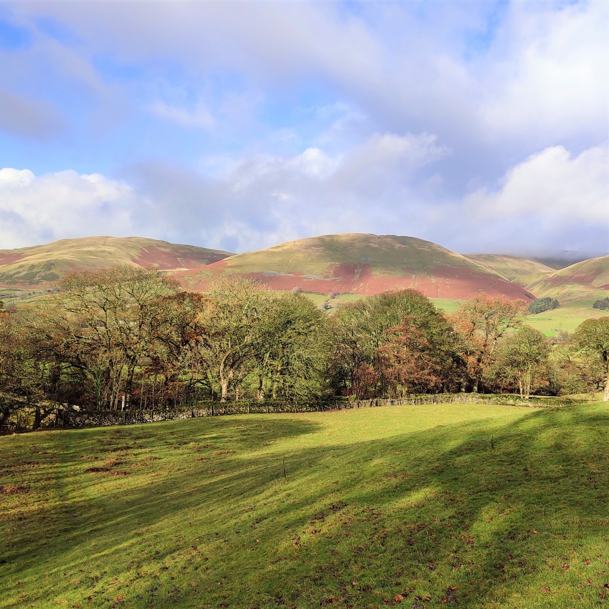
The Howgills, are a firm favourite of Bentham Footpath Group: These distinctive rounded hills with their lovely velvety appearance offer a wide variety of walks with peaks such as The Calf, Calders, and Arant Haw, along with the spectacular waterfall of Cautley Spout.
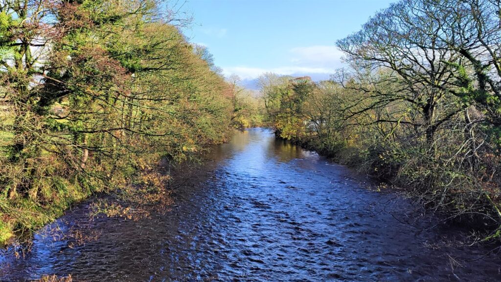
This easy walk does not do any of these big climbs – instead we focus on gaining a great view of the wider area. It starts from New Bridge just outside Sedbergh and then heads East along the Clough River, before turning North at Dovecote Gill. We pass through Dowbiggin and then cross the Hebblethwaite Hall Gill before heading West at Hebblethwaite Hall. We then press on to the A683 via an Alpaca farm at Ghyllas, and after a very short section of road walk take the Pennine Journey path along the Rawthey back to New Bridge.
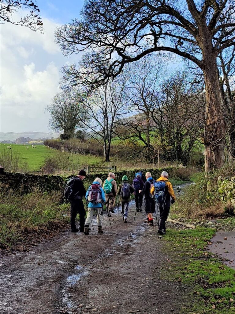
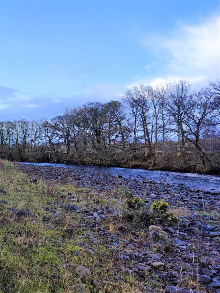
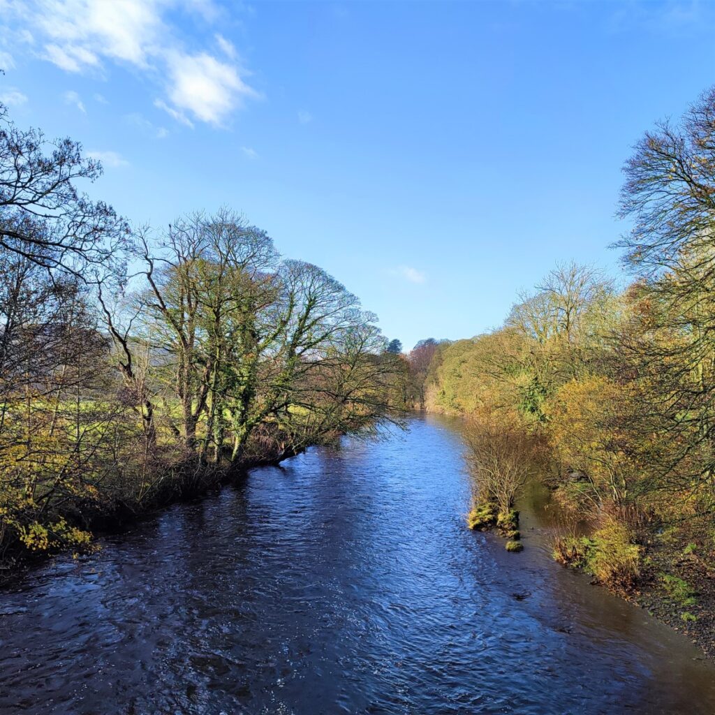
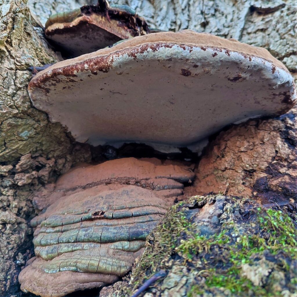
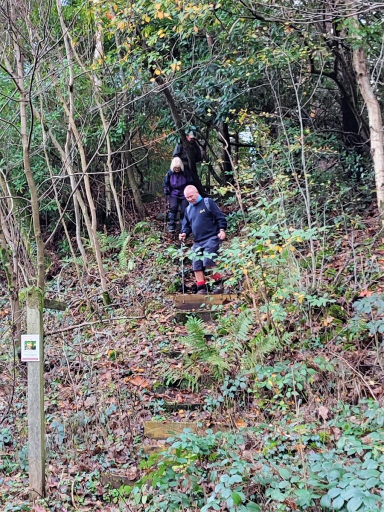
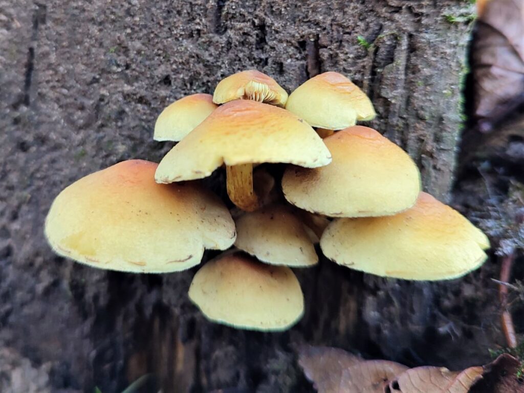
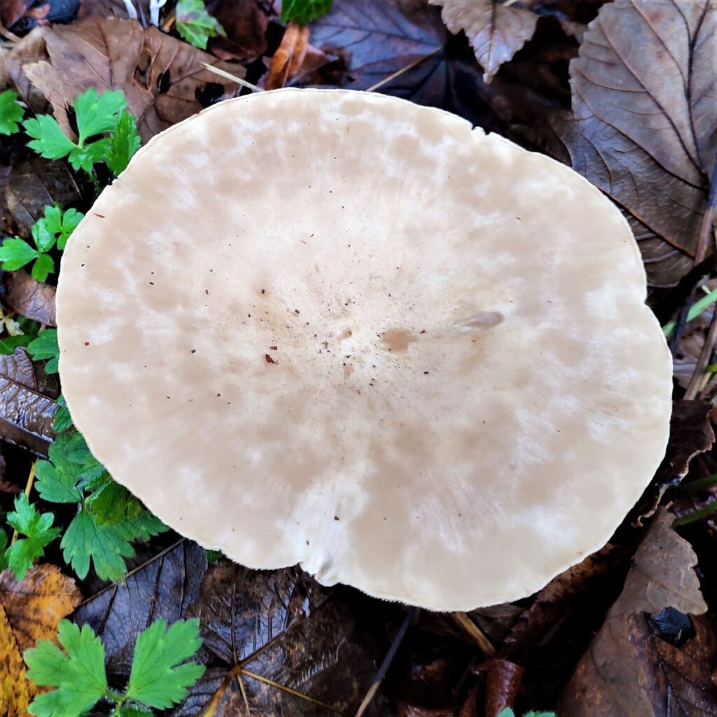
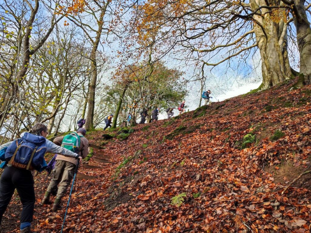
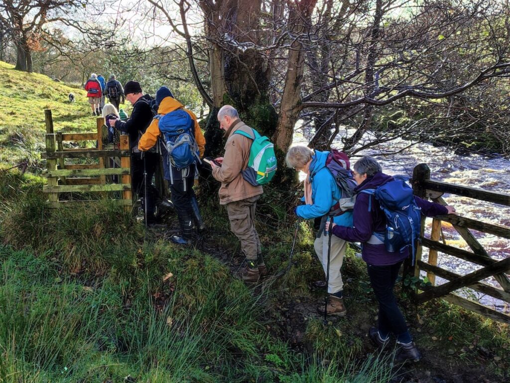
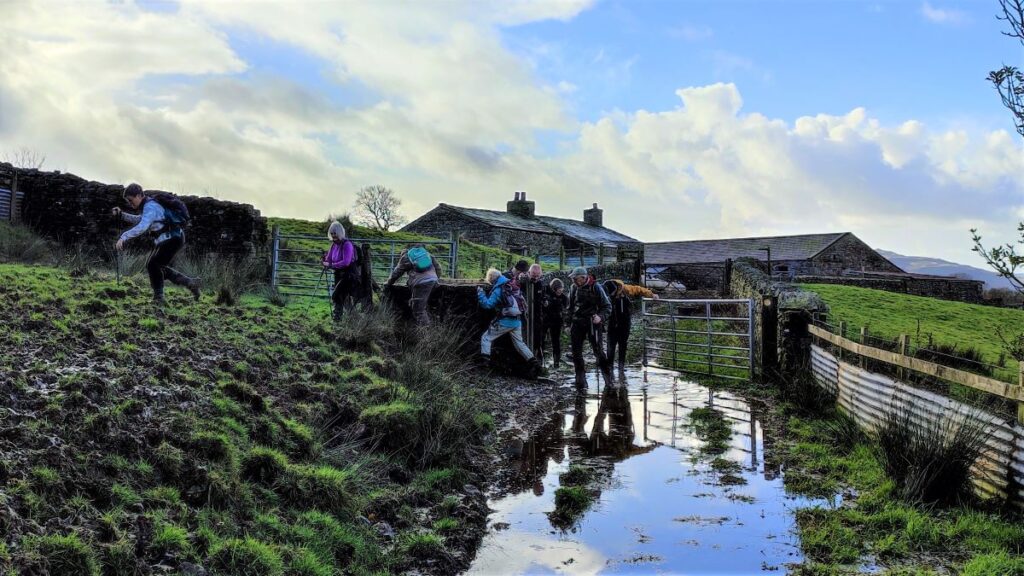
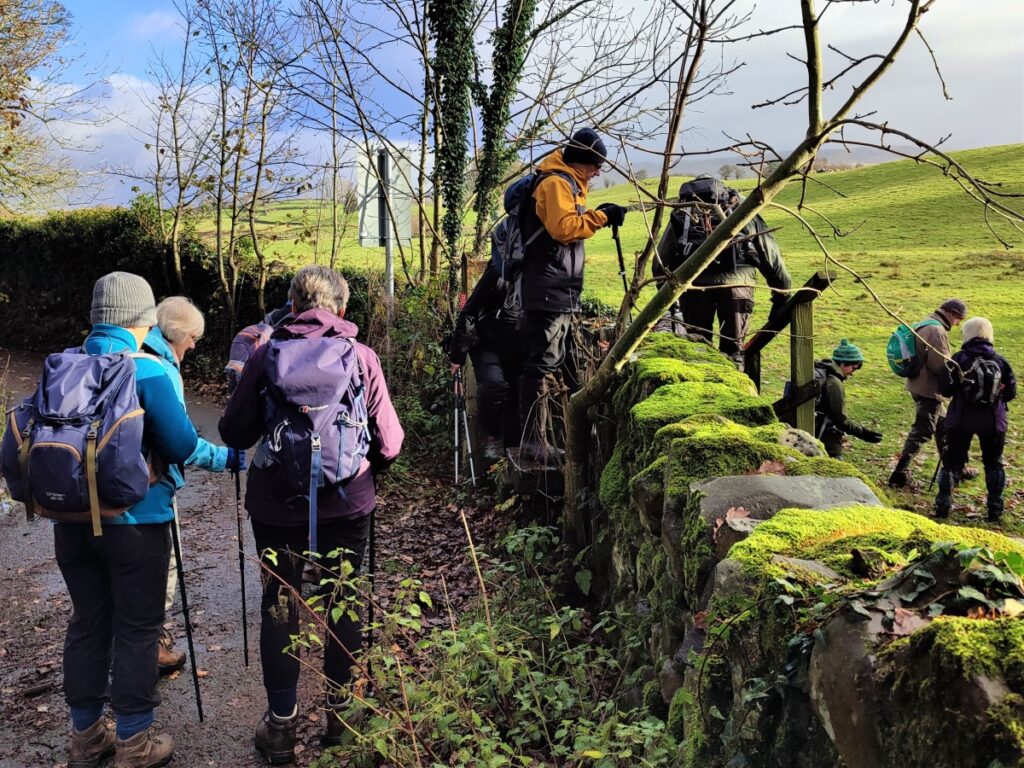
Although the walk is easy in terms of distance and elevation, a quick glance at the gallery shows that there can be lots of wet and slippery sections when the weather is poor – so be prepared to get muddy, it’s worth it.
- Total distance 10.6 km (6.6 miles)
- Total ascent 312 m
- Easy walk
Step-by-Step
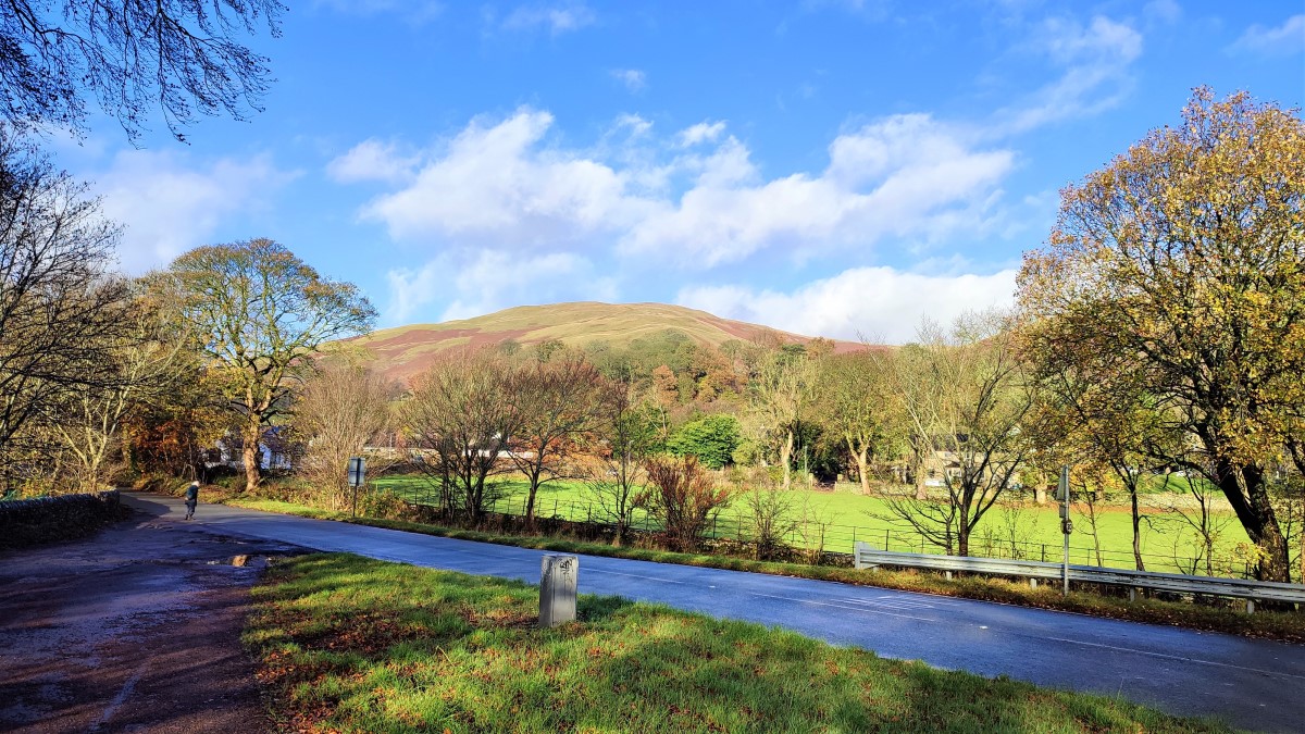
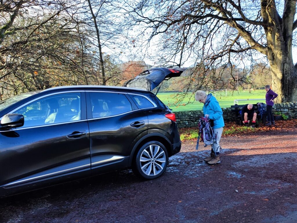
We start at New Bridge on the A684 out of Sedbergh. If you approach from the Hawes side, it’s the last bridge before Sedbergh, or if you enter Sedbergh from the west, follow signs for Hawes and then it’s the first bridge as you leave town.
There is a lay-by with ample parking on the Sedbergh side of the bridge at Grid reference SD66469198. What-3-Words tag girder.dress.legroom pinpoints the parking, and satnav users can use postcode LA10 5JJ to find the right section of the A684.
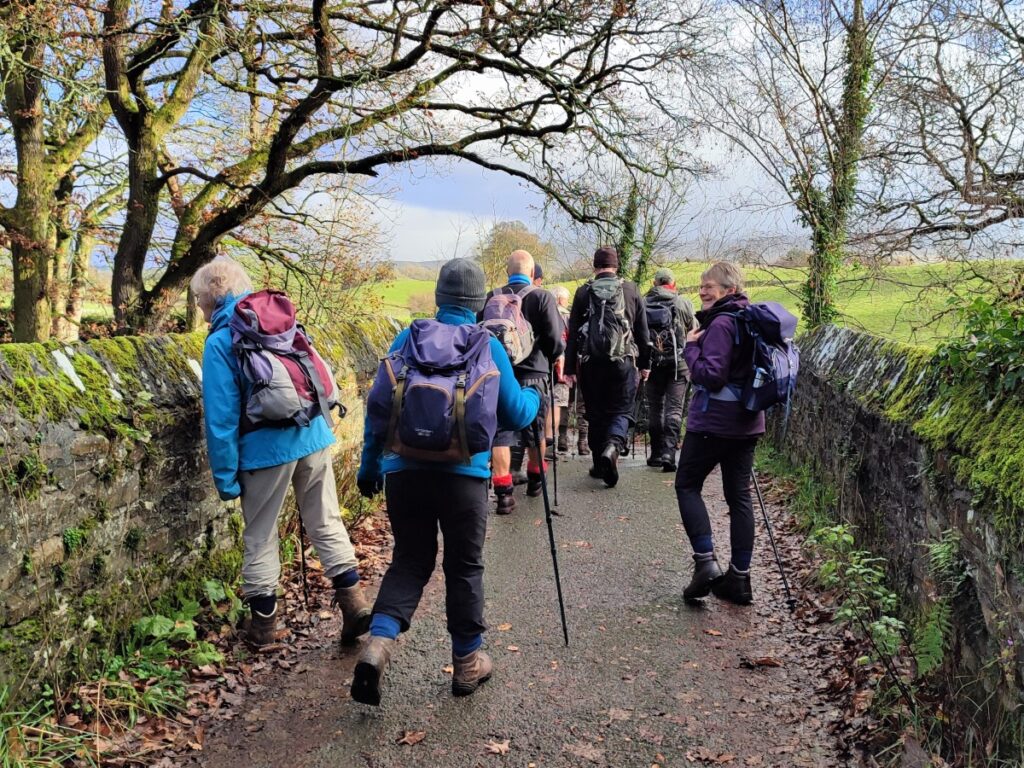
Ignore the tempting footpath along the river Rawthey – that heads back into Sedbergh, instead we cross the river at the road bridge – be careful there is no pavement on the bridge itself – and then continue along the A684 using the pavement on the left hand side of the road. We pass a caravan park on the left and continue until the road – now with no pavement – bears left. No more than 30m beyond this we find a small lane leaving the road on the left and we take this toward Garsdale bridge, running parallel to the Rawthey.
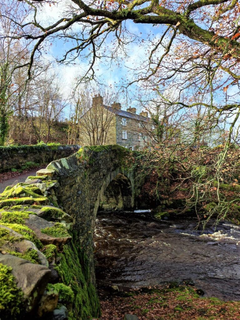
The lane narrows and we soon find ourselves in an attractive narrow track with high hedges on both sides. This soon takes a sharp right turn and heads toward a small collection of houses at Garsdale Bridge.
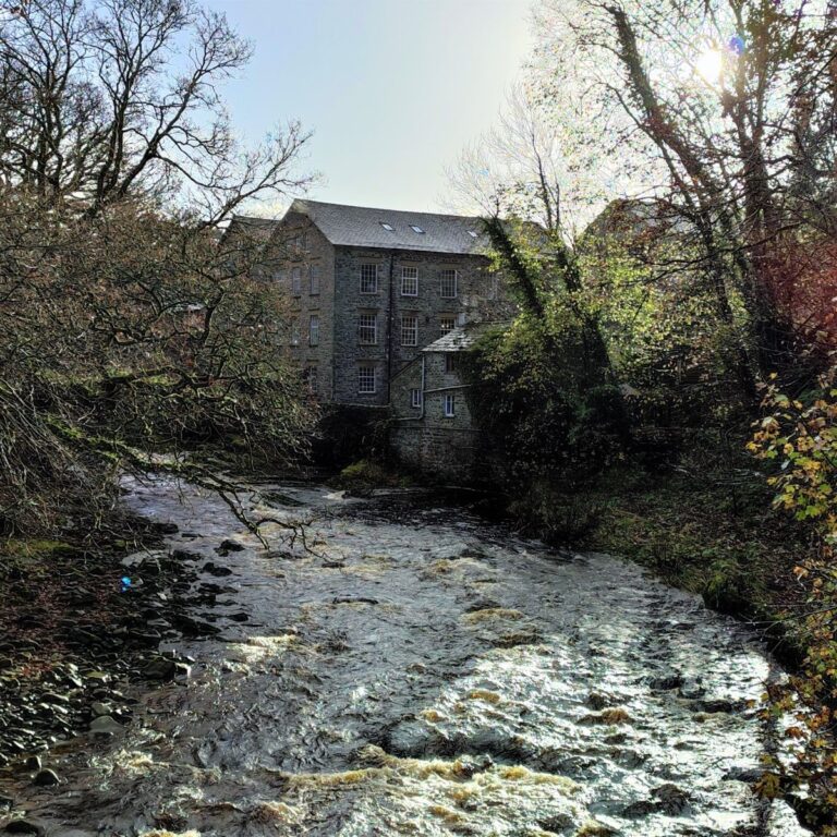
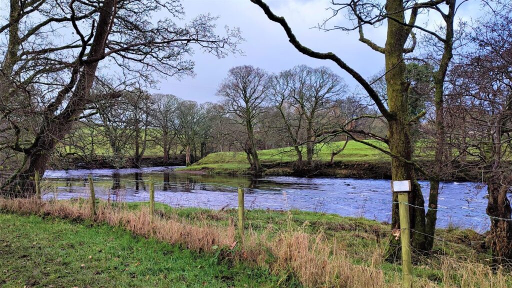
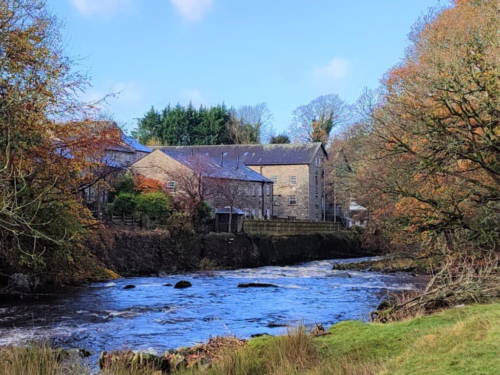
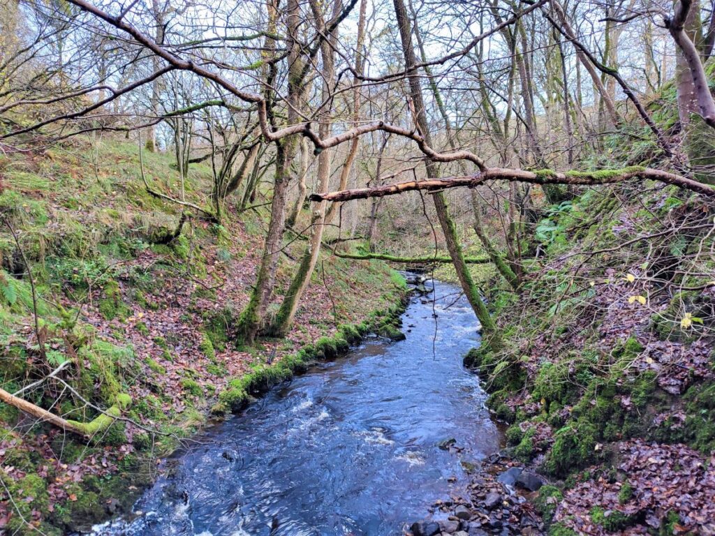
The bridge crosses the Clough River which is one of the tributaries of the Rawthey and a river that features in other BFG walks such as our Lower Garsdale route. The structure dates back to the 17th century, with a significant rebuild in the 19th century – it is grade II listed.
The cottages to the Sedbergh side of the bridge are called “The Row” and were built in 1851 to house workers for the adjacent Farfield Woollen Mill which had started production in 1837. The mill itself is now a museum featuring a range of interesting local craft shops and is well worth a visit. To see details of what can be found there now visit https://www.farfieldmill.org/
After crossing the Garsdale Bridge. look for the stile on the right which takes us into relatively flat meadows at the side of the river and note that if you wanted to briefly visit the mill as an extension to this walk there is a footpath up to the mill on the Sedbergh side of Garsdale Bridge.
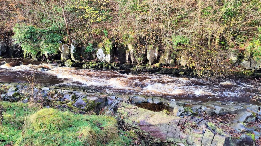
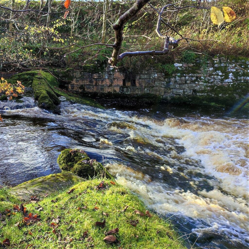
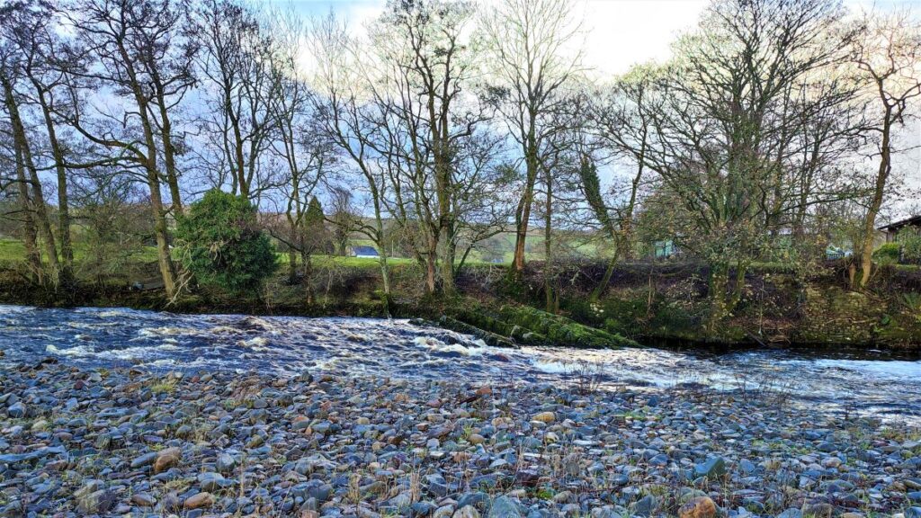
Our path now heads upstream opposite the mill and to a sharp bend in the river where there is a weir. This was constructed as part of the mill project to manage water flow to a waterwheel that originally powered the mill machinery.
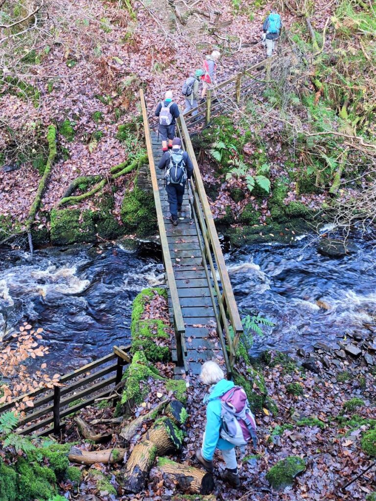
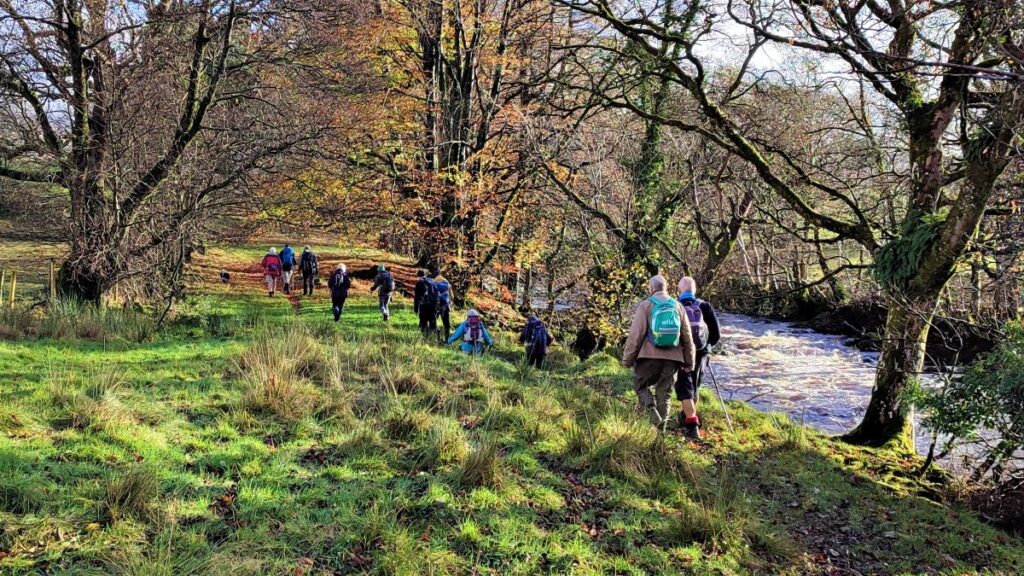
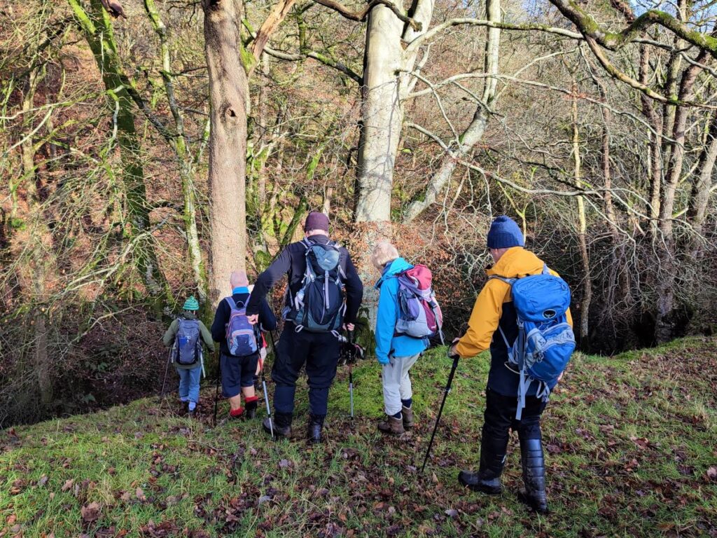
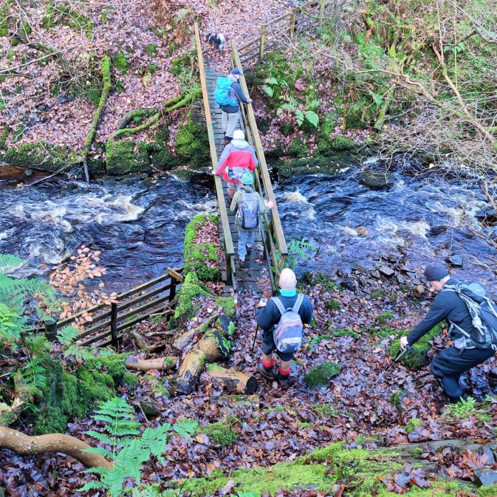
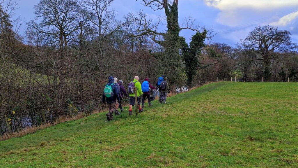
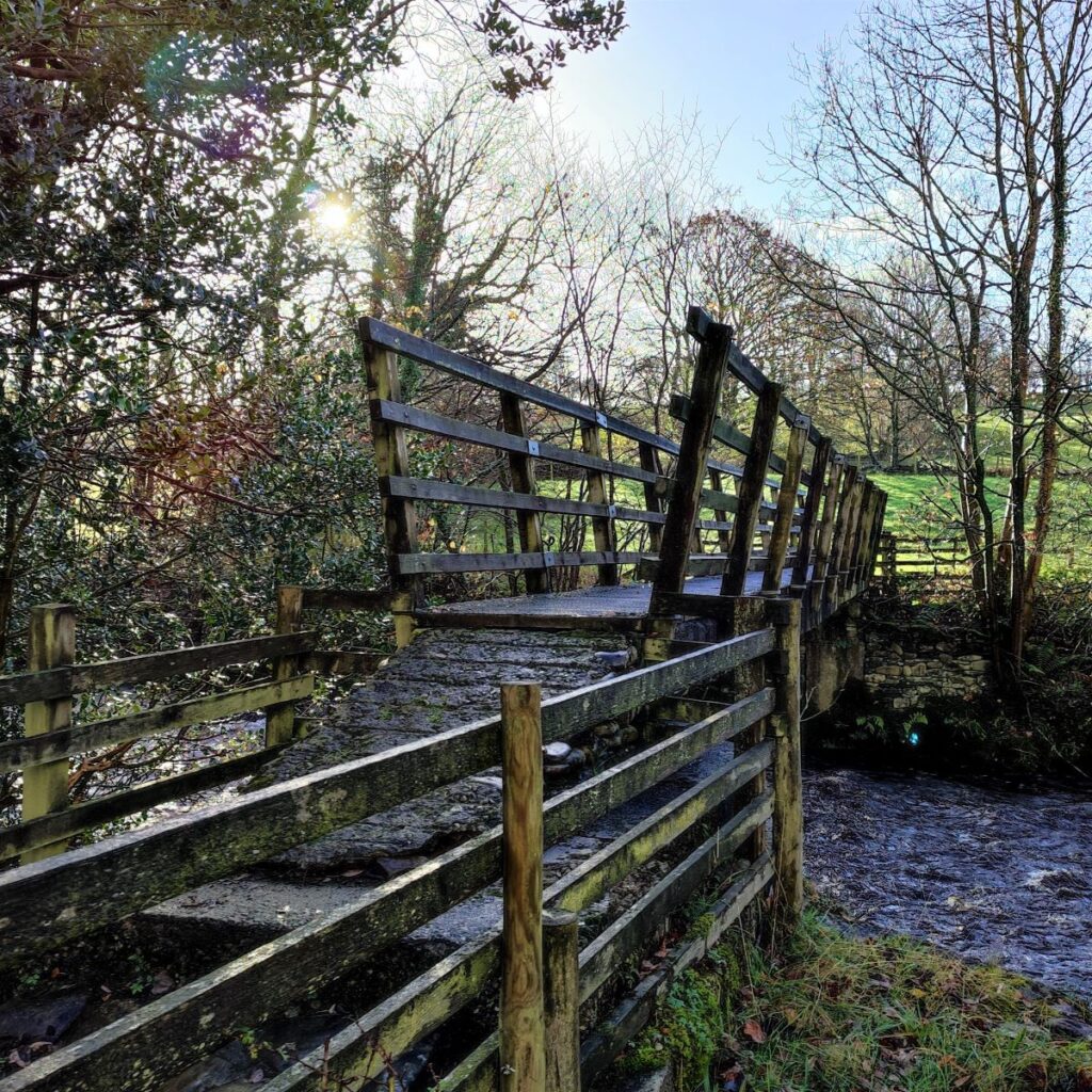
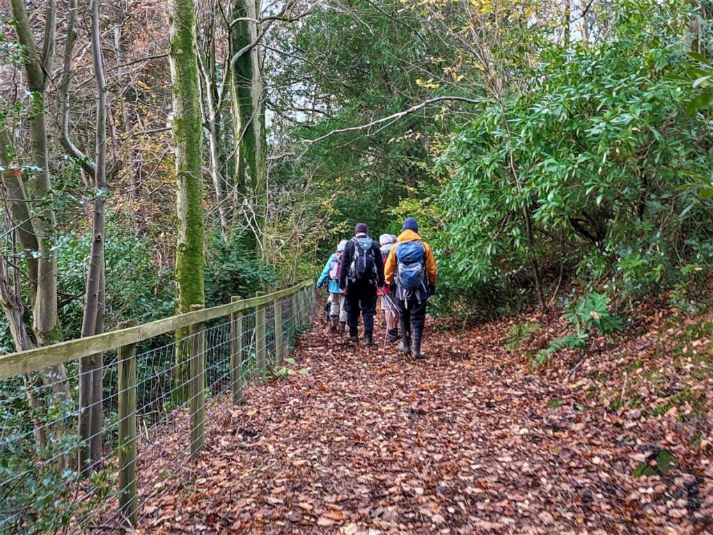
The footpath continues along the left bank of the Clough for a while now – with stiles in fences and walls from time to time – until we come to a footbridge over the river. We don’t take the footbridge today, but it’s a good indication that we are on the right path and that we now need to head further upstream until the path forks at Sweet Dub Hill.
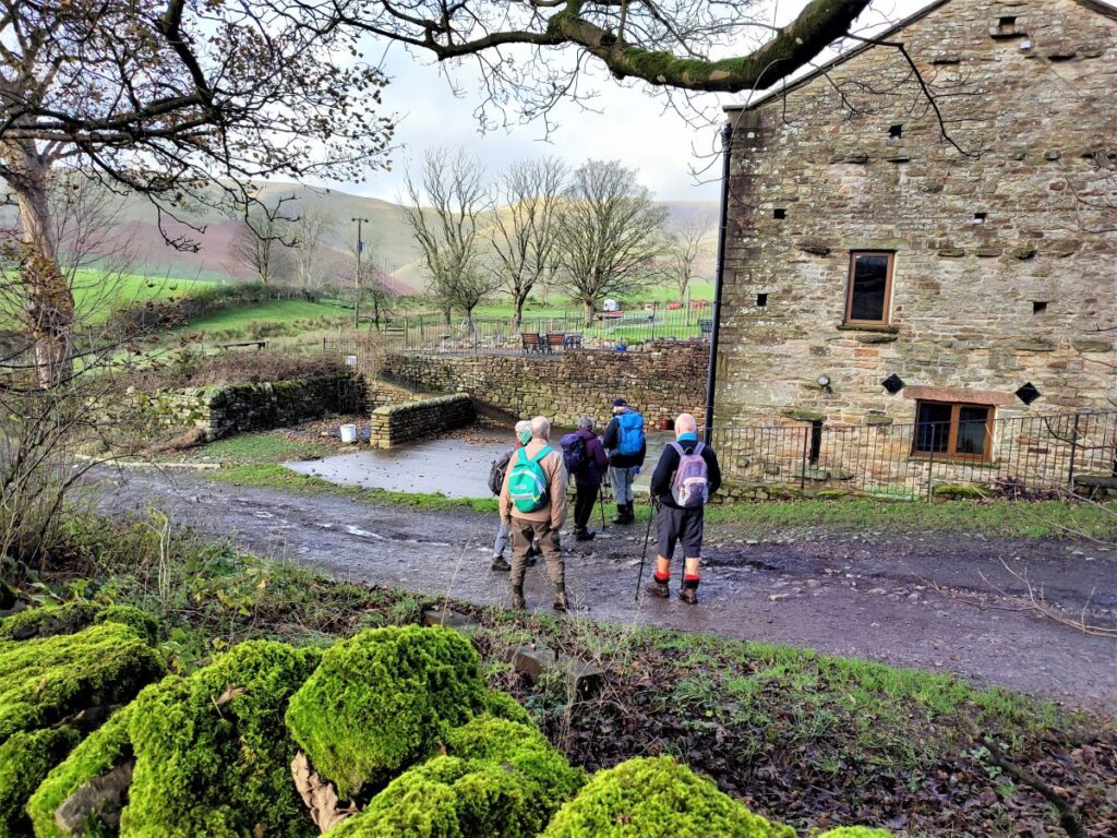
We take the path to the right which heads up to a minor road at the entrance to Dovecote Ghyll farm – the path to the left also goes to the same lane, so it’s not too much of a problem if you take the wrong option – just head left at the road and back down to Dovecote Ghyll farm to get back on track. In practice, the recommended route to the right is more heavily walked and the fork to the left may not even be noticed.

Standing in front of the entrance track to the farm, we note that there is a lane to right heading back down toward the river. This is the route we need – the sign has been damaged, and care is needed to avoid inadvertent trespass at the farm.
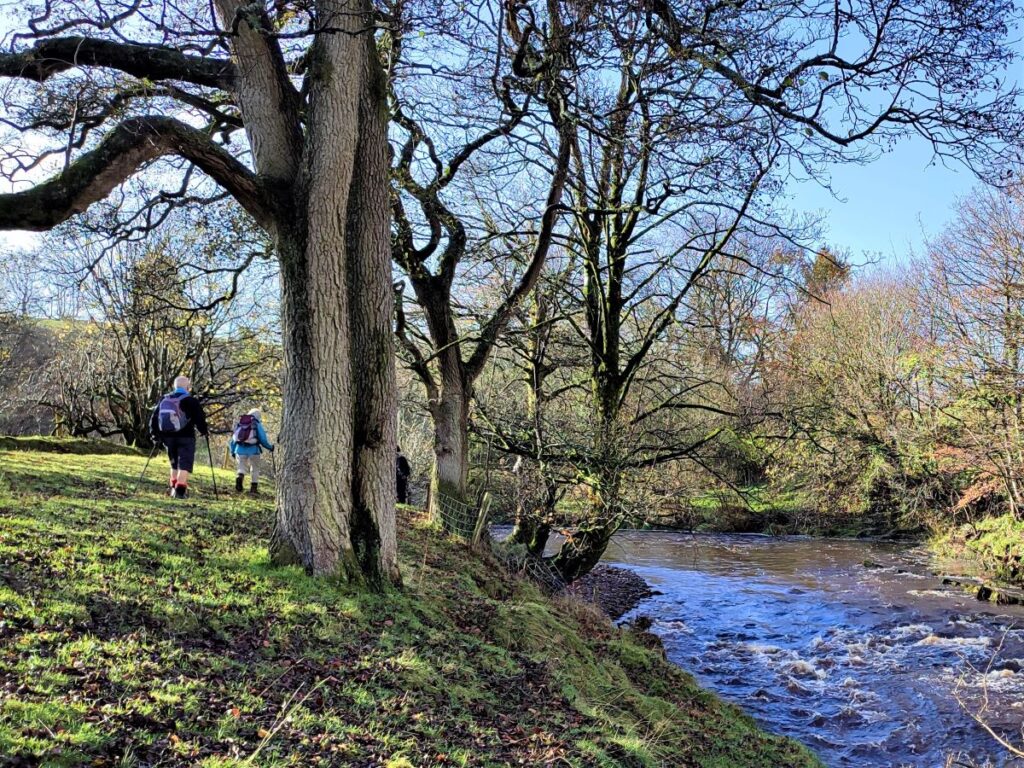
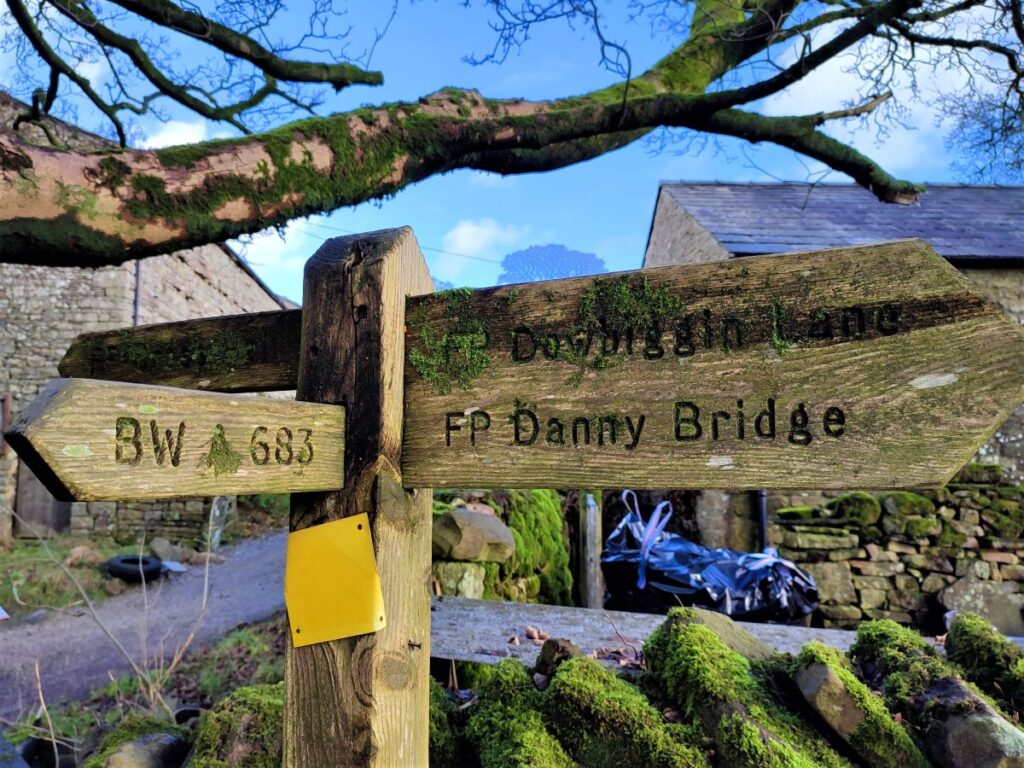
The lane takes us down toward a ford across the Clough, but before we get that far, we pick up a path on the left which loops round to approach the farm from the other side. As we approach the farm buildings, aim for the top barn on the right where a signpost by a metal gate takes us up into the fields as we head toward Dowbiggin.
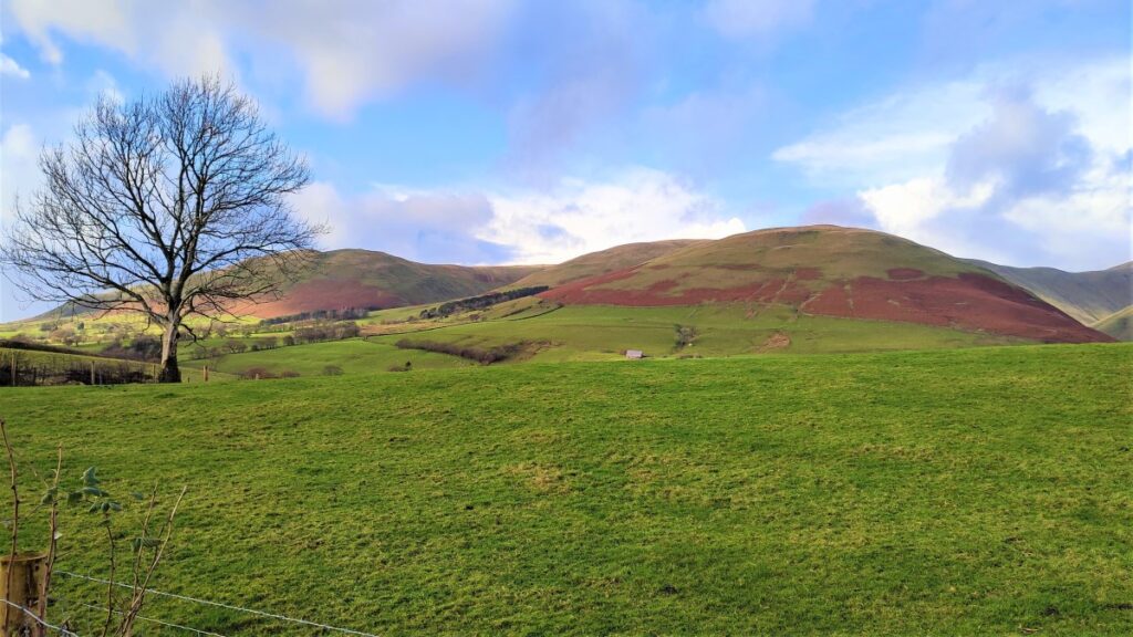
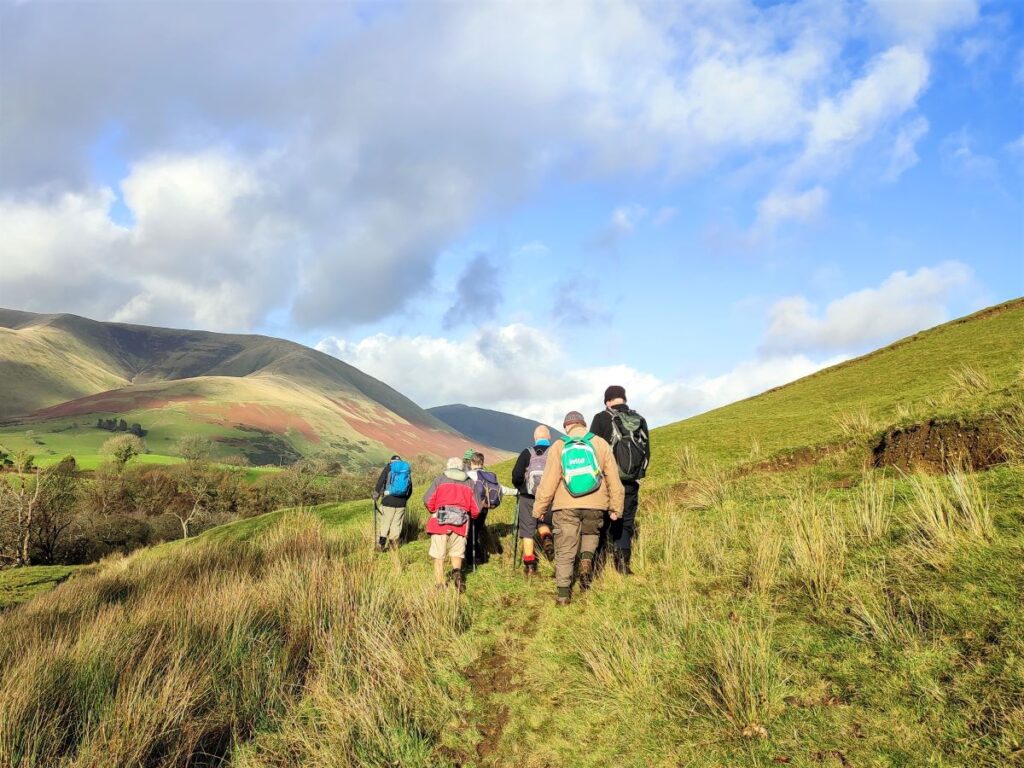
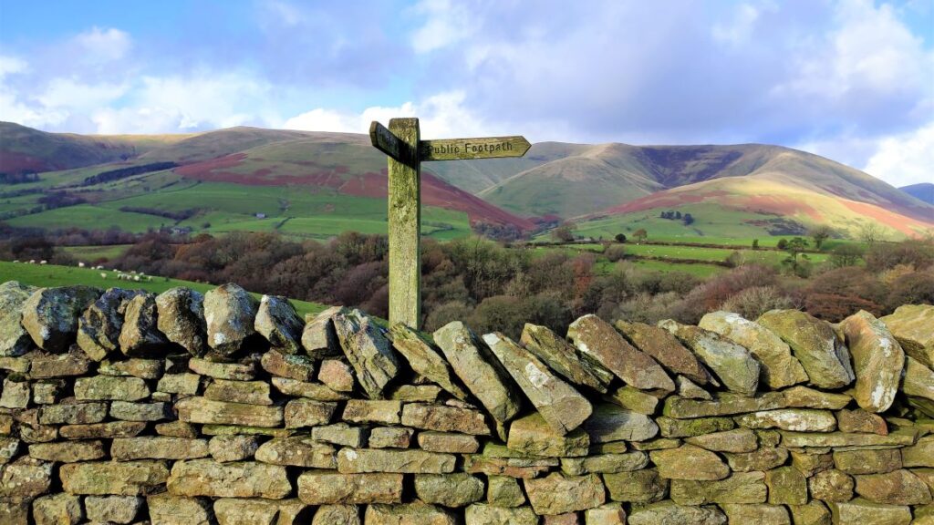
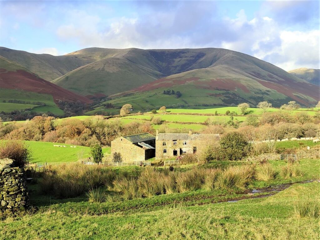
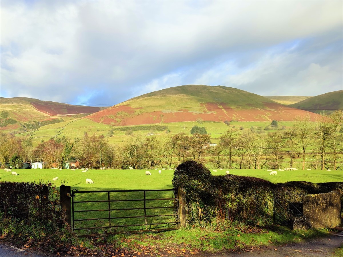
Dowbiggin is an ancient name for a parish that is a collection of just a few houses and farms – so don’t expect to find a clear village centre – in fact don’t really expect to see anything other than attractive farmland and great views of the Howgills. The Name Dowbiggin can be traced to the 14th century and is believed to be derived from dufe (“dove”) and bigging (“building”) – which ties in quite consistently with Dovecote Ghyll.
From here, the route is clearer again – we head uphill at first, and then down to cross a small stream, to find a sheltered spot just beyond the footbridge – a good place to take short rest.
From here we head right and steeply uphill to head Northeast where we see a farmhouse nestling behind trees. The path heads to the right of this and then continues uphill to a further farm at Fellgate where the path crosses a stile onto a lane. The farm is now on our right, and we walk as if heading into the farmyard – and as we do so we take the waymarked path outbound on the left and from here we head over toward Hebblethwaite Hall, and once again we have the Howgills directly ahead.
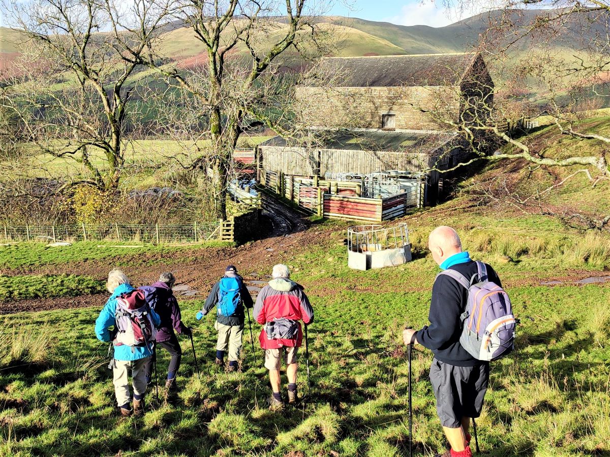
Our route now works round to the left a little and starts to head down hill toward an isolated barn – referred to as New Barn on the OS map – which we pass on the right hand side.
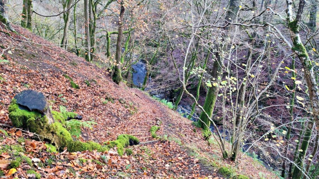
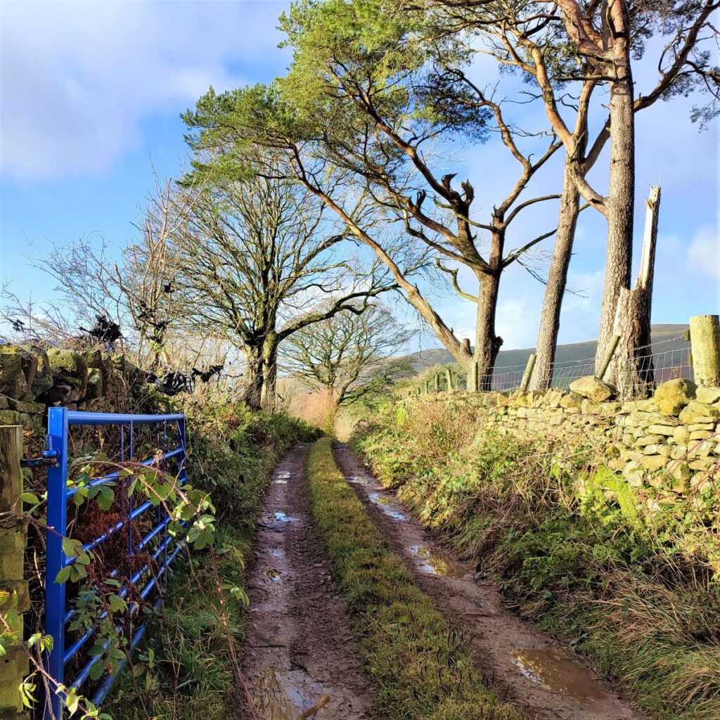
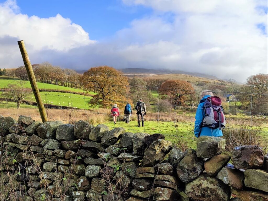
From here the track heads North toward farm buildings at Sarthwaite, and again we pass the buildings on the right to take a lane which exits on the right via a gate and skirt around the hill initially following the contour lines. Note that this part of the route can be quite muddy, and you may find that the safest and most secure route diverges from the official path a little.

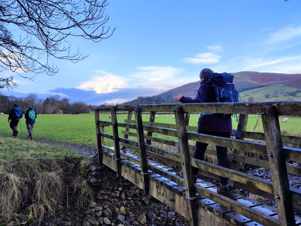
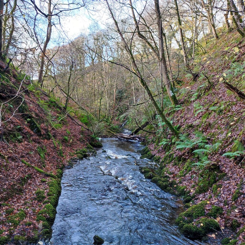
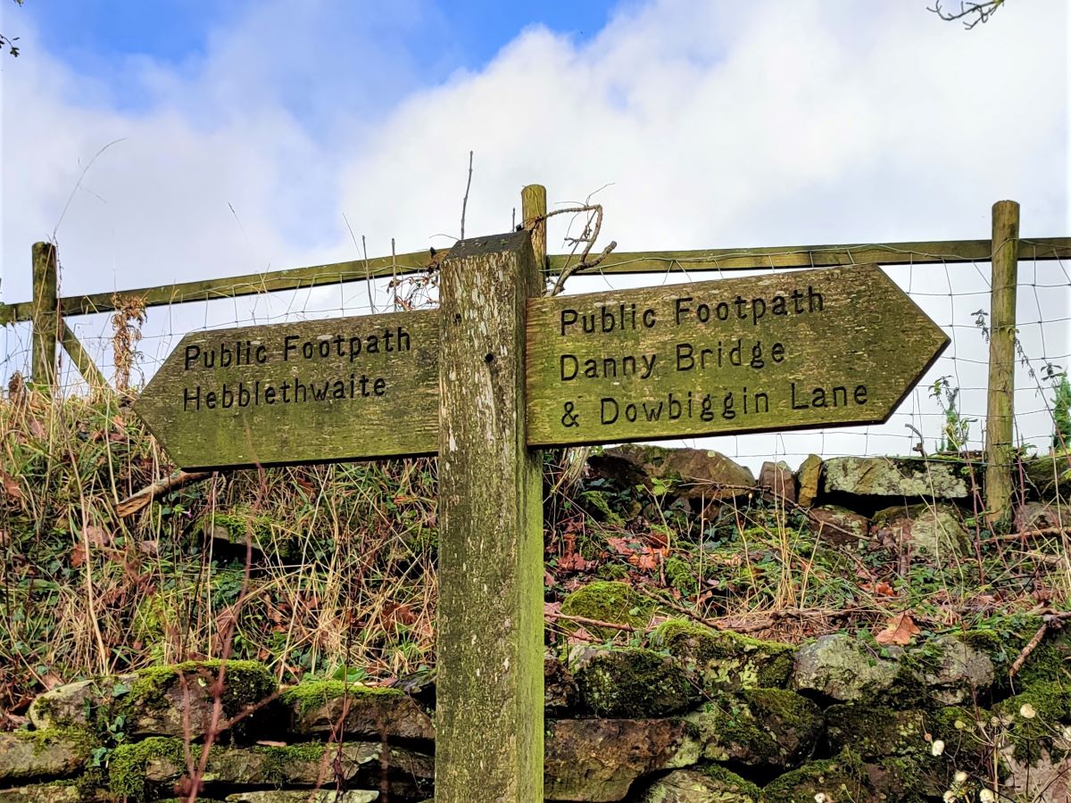
As the lane from Sarthwaite farm heads off in a north easterly direction look for a path exiting on the left – an old gatepost makes a good landmark. Here we head North, and downhill, before following the contours round to the right and then heading steeply downhill toward the footbridge over Hebblethwaite Hall Gill. Note that this is not the Danny Bridge that we saw referenced on the signs earlier – Danny Bridge crosses the Clough further upstream than the point where we left it and can be found on the BFG Lower Garsdale route.
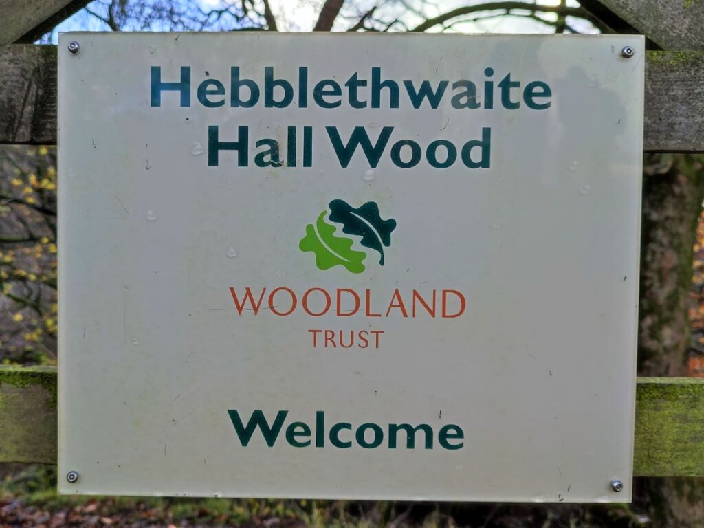
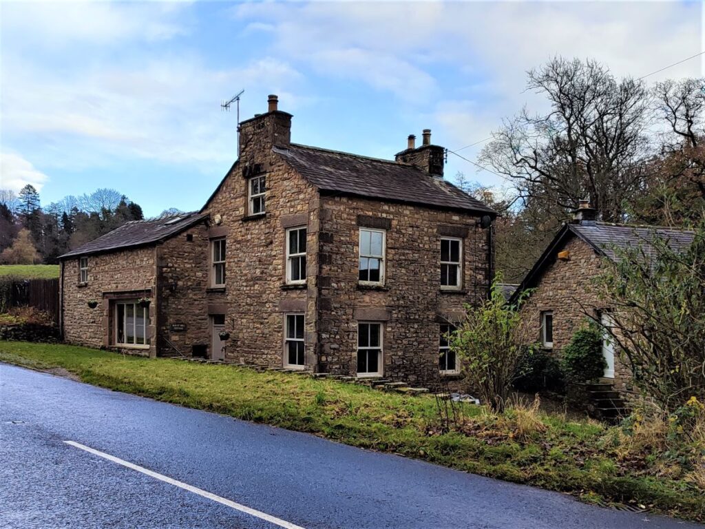
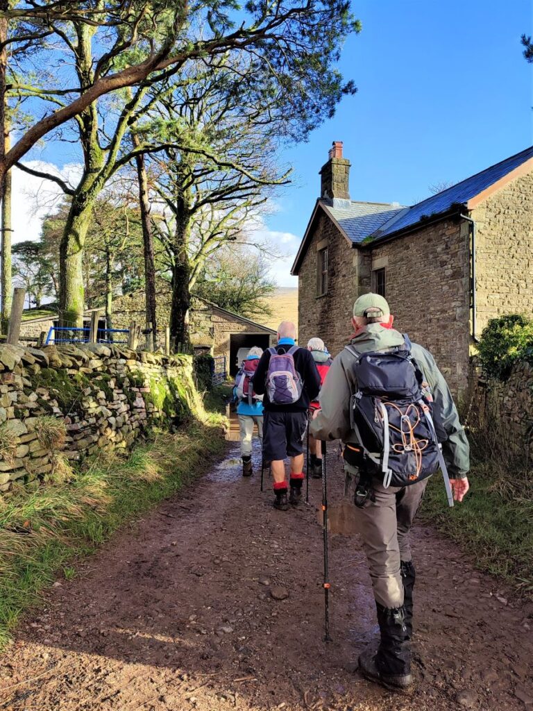
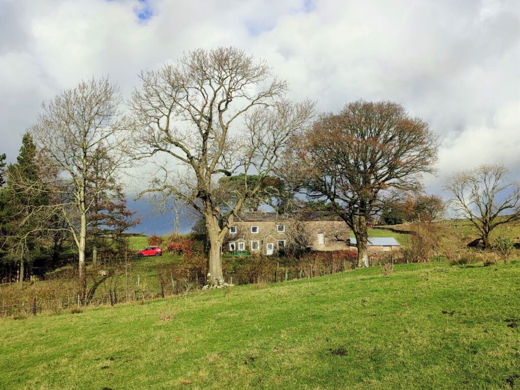
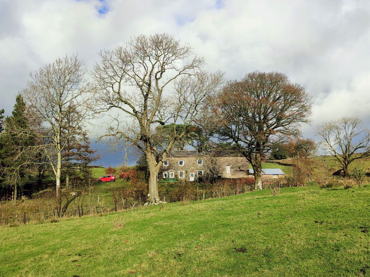
On the opposite side of the footbridge the path climbs steeply through Hebblethwaite Hall Woods and approaches the eponymous hall. Despite the grand name, the hall is nothing more than a farmhouse – albeit an attractive one, dating back to the 16th century. It now offers upmarket holiday accommodation.
As we approach the hall, we see a stile in the corner of the field giving access to a very quiet lane. We head left (signposted BW A683) here and follow the lane for a little while until we see the road turn sharp right. As it does, we take a path on the left into a field and continue in much the same direction as before.
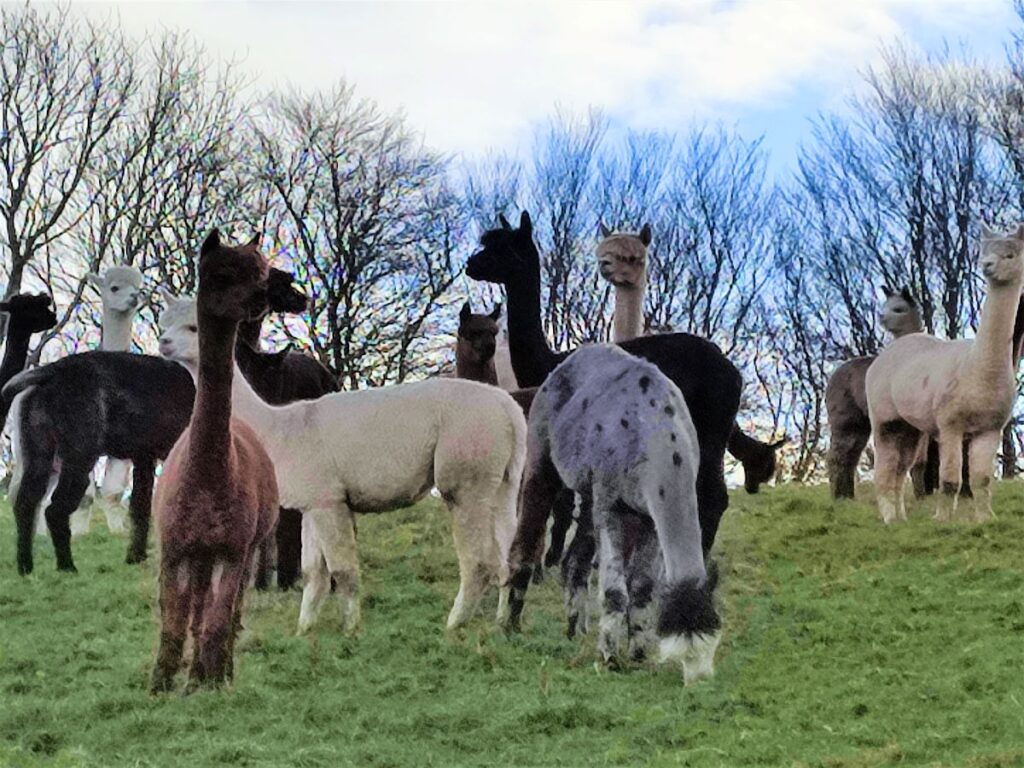
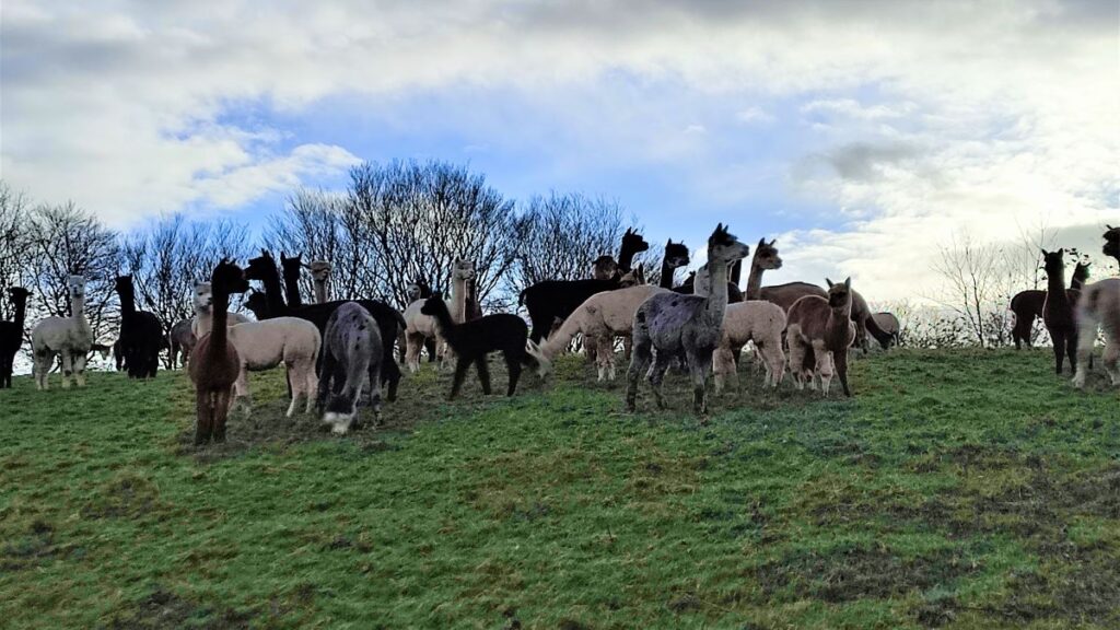
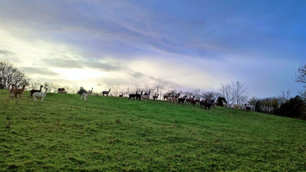
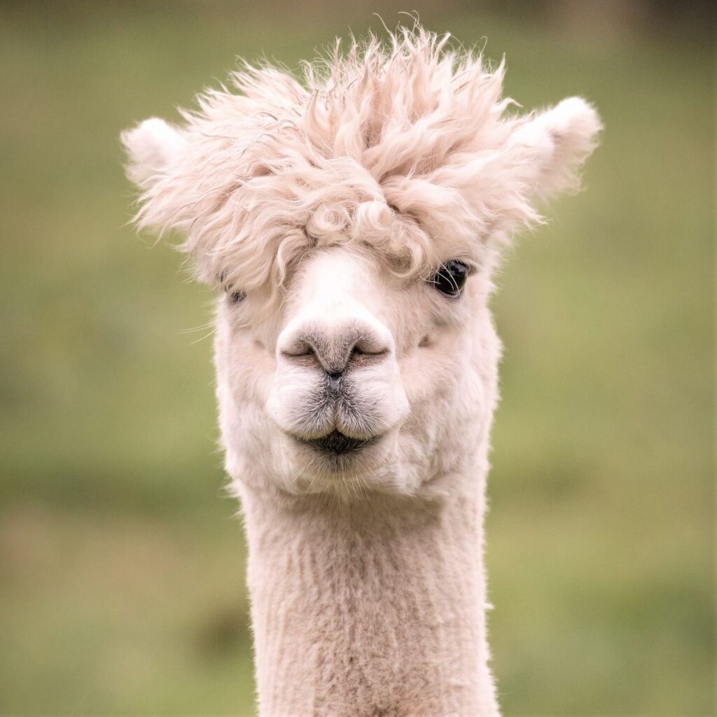
The first field after leaving the road is flat and pleasant and has good views so this might be a good spot to take lunch. As you do so however you may notice that the next field contains a herd of alpacas, and that they may react to your presence by issuing an alarm call. This curious noise sounds like a combination of goose calls and laughter and is issued by just one or two of the alpaca to make the rest of the herd aware that they need to be alert; Interestingly we found that when we progressed through the field containing the alpaca they ceased calling and were entirely relaxed – presumably because they could now see that we posed no threat.
The alpacas belong to an enterprising farm business called Why Not Alpacas. As well as selling products made from the soft alpaca wool, they provide a service where an alpaca is rented to local sheep farmers during the lambing season to act as a fox guard. Visit http://www.whynotalpacas.co.uk/ to find out more.
We now carry on through the alpaca fields to the farmyards where we see a path exiting down through woodland and out to the A683.
We walk left along the road – but only for a short while, because very soon the road turns sharp right over the Rawthey at the curiously named Straight Bridge, which dates back to the late 17th or early 18th century.
Having crossed the bridge, we notice that the Pennine Journey Path crosses a stile on each side of the road at the far side of the bridge. We take the route on the left which heads down to the riverside and back toward Sedbergh.
We pass the point where the Clough River joins the Rawthey, and no more than 1km further on, we reach another road bridge – this is the New Bridge over the A684 where we parked.
- Total distance 10.6 km (6.6 miles)
- Total ascent 312 m
- Easy walk