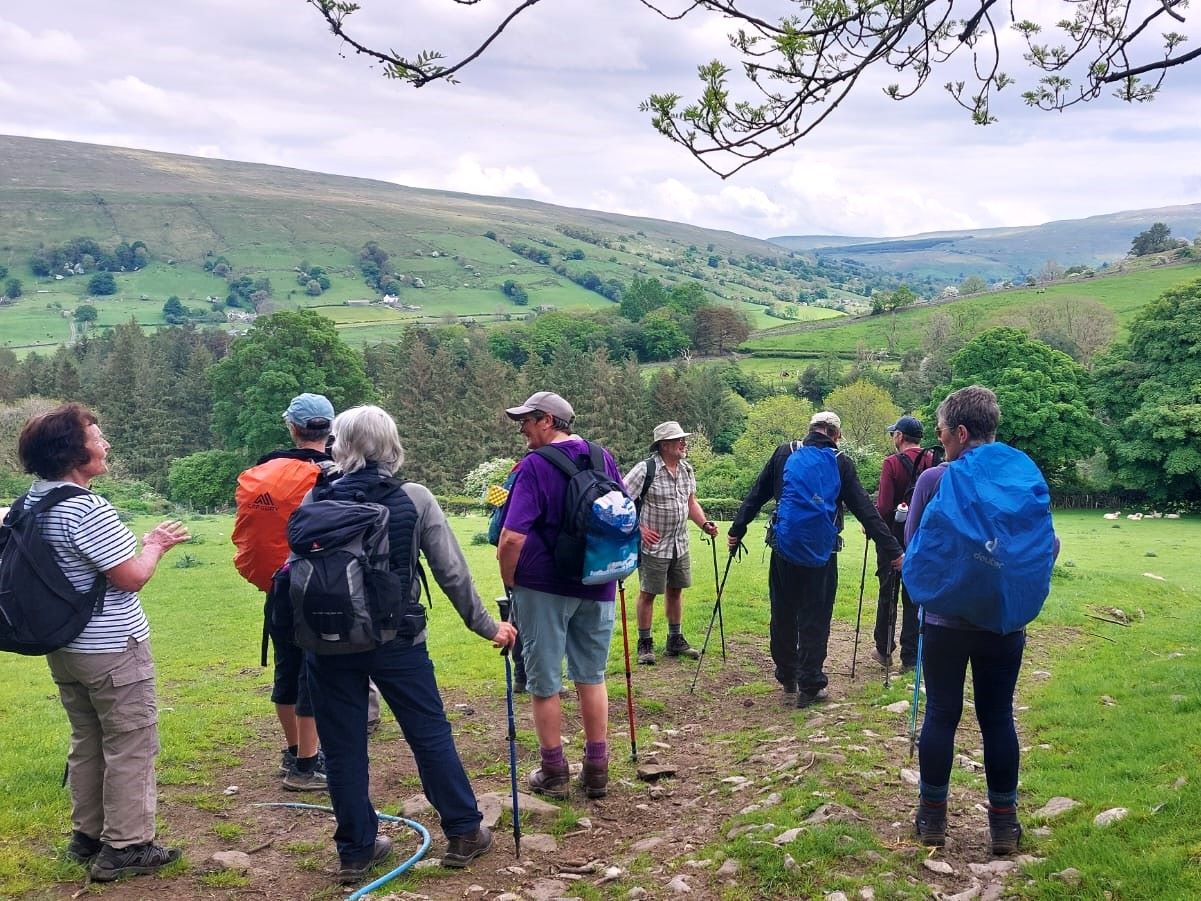
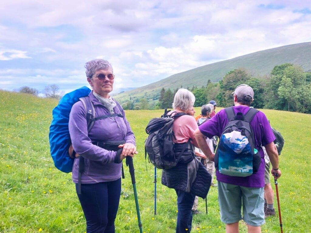
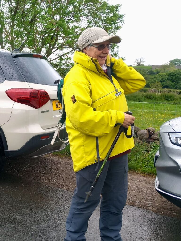
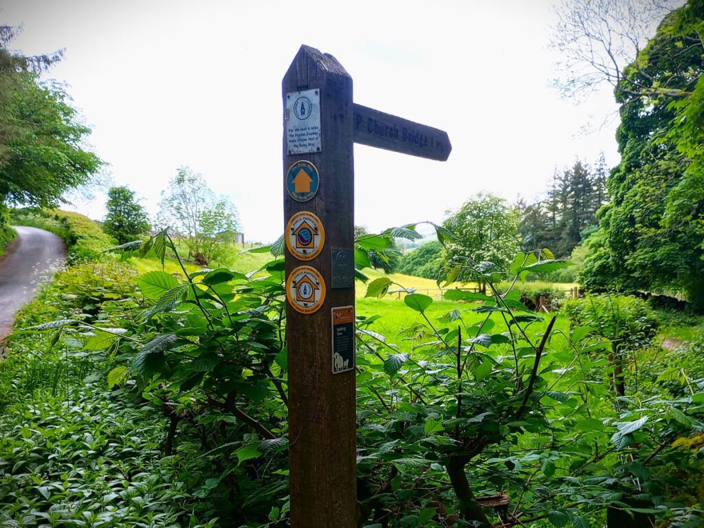
Dentdale is one of the more popular gems of the Yorkshire Dales, and so not surprisingly, Bentham Footpath Group visit regularly. Every time we come here there is something different to see, and this time we start from the Church Bridge and take a riverside path downstream for a short distance before coming back to the centre of the village via the picnic area. We then head up the enchanting Flintergill, visiting an open air museum and enjoying a viewpoint, before climbing to the Occupation Road overlooked by the Megger Stones.
After following the Occupation Road for about a mile we head back downhill along a green lane to High Nun House, then cross the minor road and head down to Deepdale Beck which we follow downstream back to the Dee, which we then follow back to our starting point.
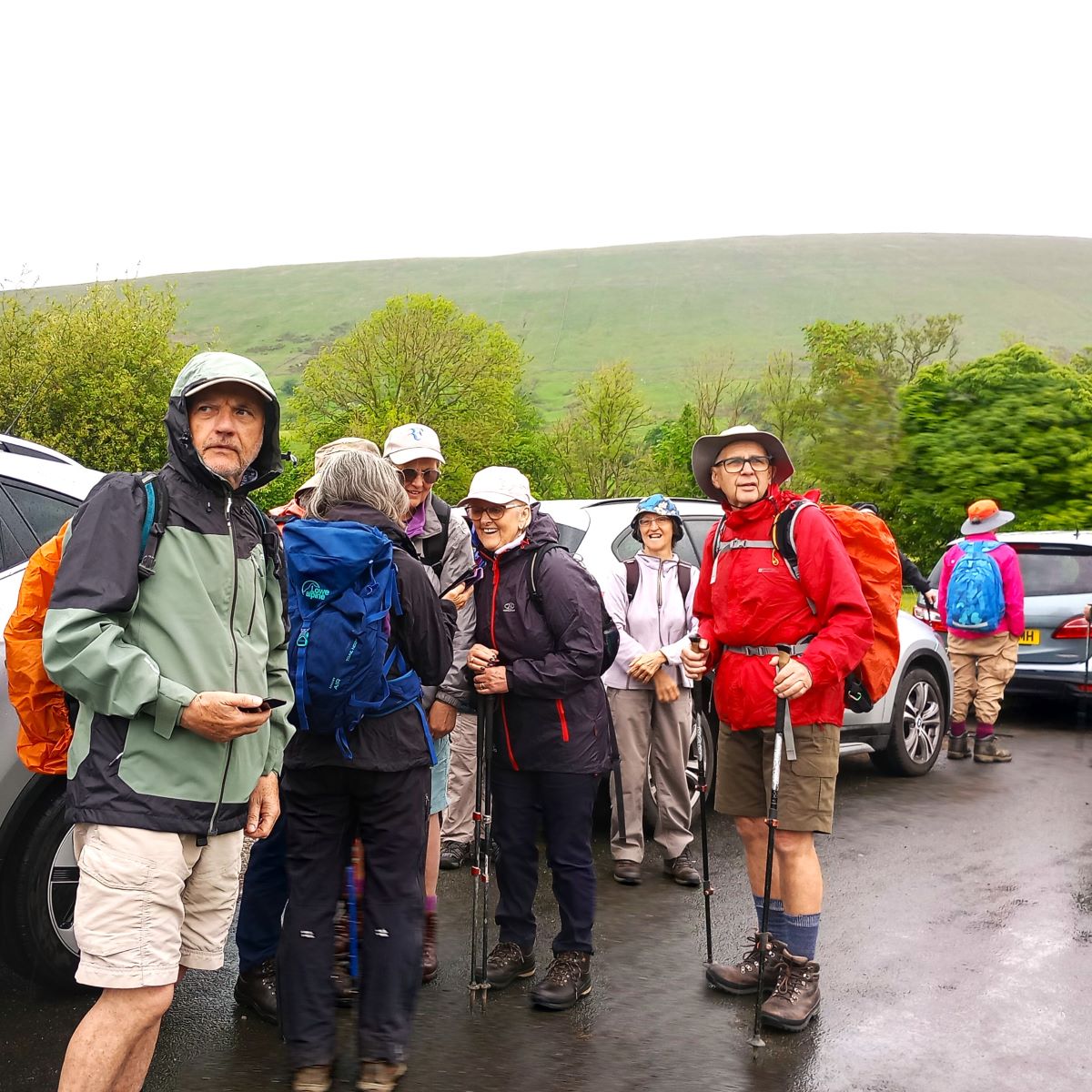
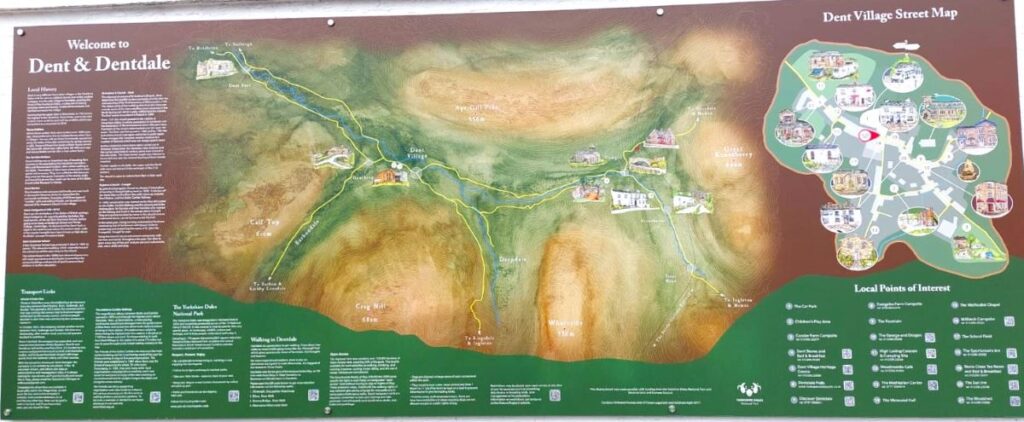
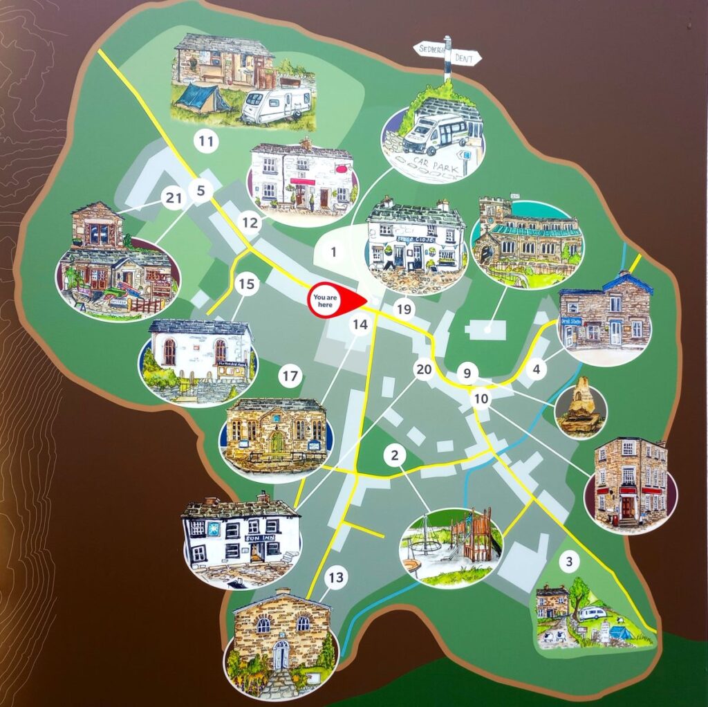
The walk starts in the village centre, with parking at the National Park car park, which boasts toilets and EV charging, or perhaps more conveniently for this route, at the layby just before Church Bridge as you head out from the village toward Cowgill. If you are using Satnav to get there then try Sedbergh & Dent United Football Club, Beech Hill, LA10 5QN as an address, or if you prefer What-3-Words, the tag is clubs.cats.blotting, which corresponds to OS grid reference SD 70698714: If you do opt for the free parking at church bridge, please park in a way that is considerate to local residents. For those who like to get to walks via public transport, please be aware that although Dent has a station on the Settle to Carlisle railway line, the station is a good 3 miles away from the start of this walk.
From the parking spot we start out by heading to the bridge and looking for the footpath on the left hand side. In fact we have a choice of two – one on each side of the river – we use the path on the Dent side of the river Dee and do not cross the river at any time during this walk. If you think the far side of the river looks attractive, then come back and try our Dentdale Circular walk, or if you like this side of the river and want to go further downstream, have a look at our Dent walk.
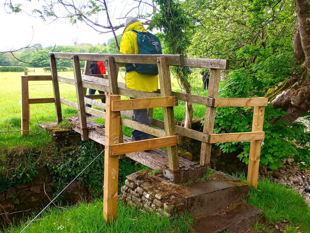
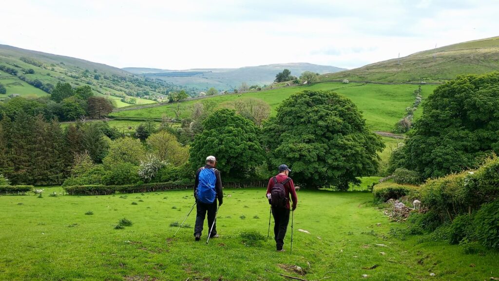
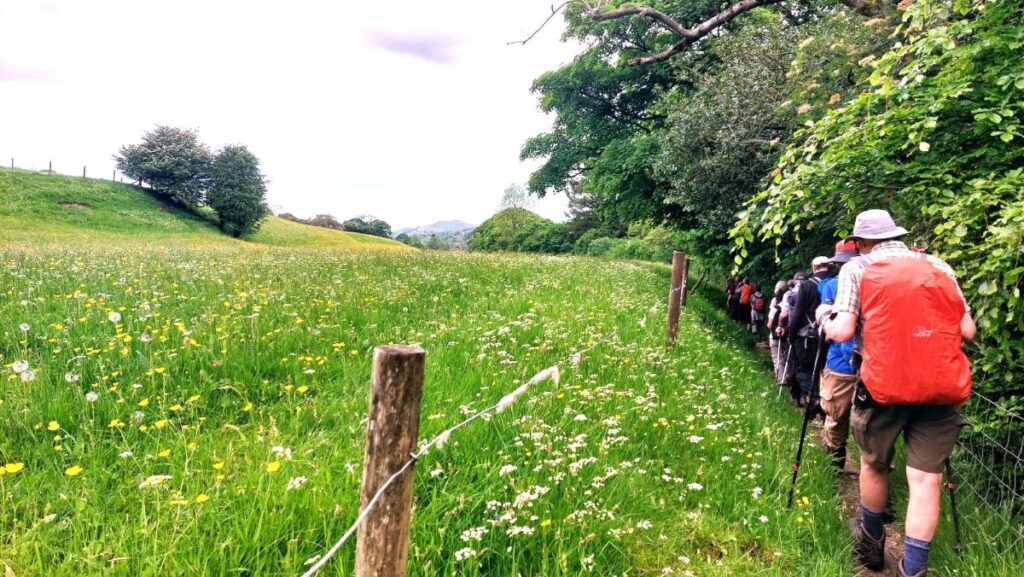
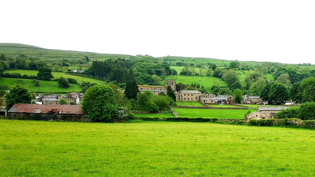
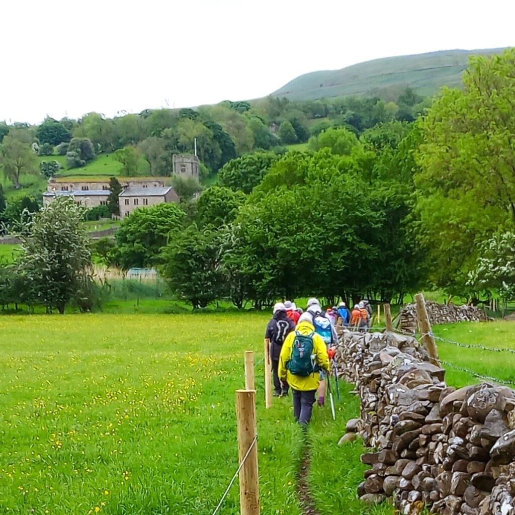
We climb down to the riverside and then follow a path northwest over a footbridge and then along the bottom of fields with good views up to the village with the church of St Andrew dominating the view. A church was first built here in the 12th century, but little remain of that – it was rebuilt in 1417, and restored first in 1590, and again in 1787. A further restoration was carried out in 1889–90 by our favourite Lancaster architects Austin and Paley.
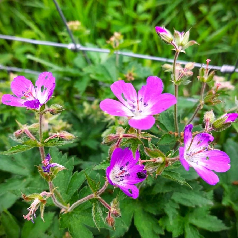
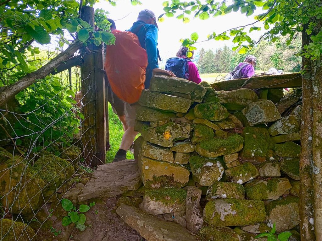
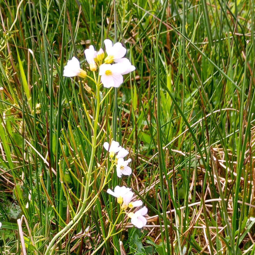
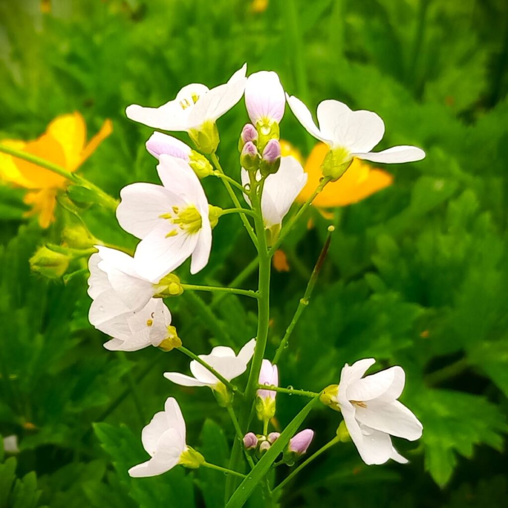
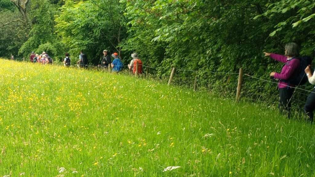
We continue along the riverside for 200m until the river bears left, and then for a further 100m before taking a sharp left hand turn and leaving the riverside path – we are now heading up to the village, using a narrow path between a wire fence and the drystone wall – this is designed to protect the wildflower meadow from footfall.
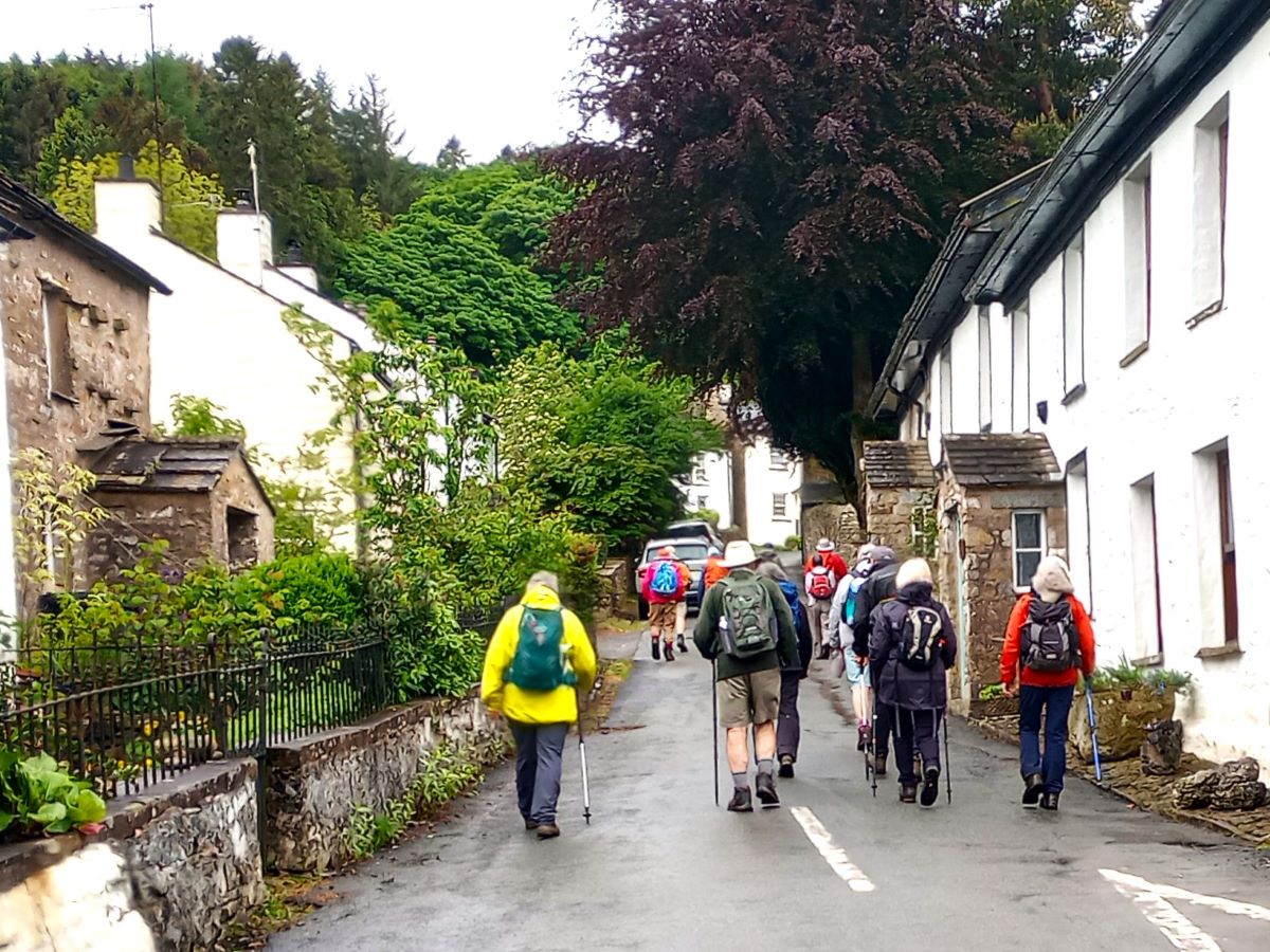
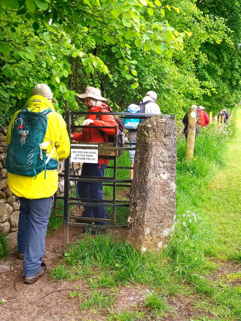
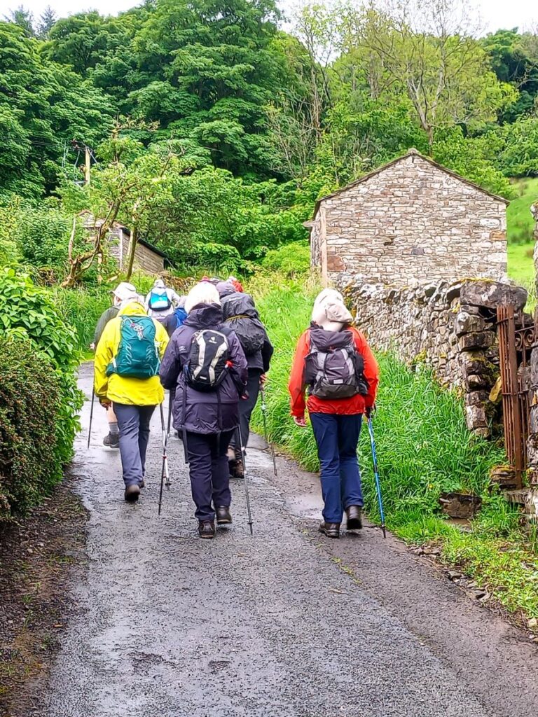
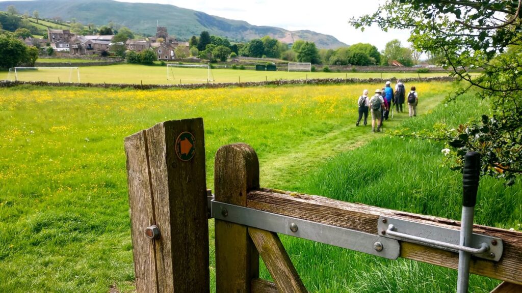
The path continues up via a kissing gate and soon arrives at the road through Dent where we turn left and walk on the road toward the centre of the village. The road is generally quiet, but nevertheless care is needed here.
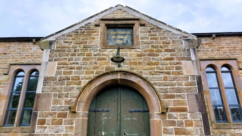
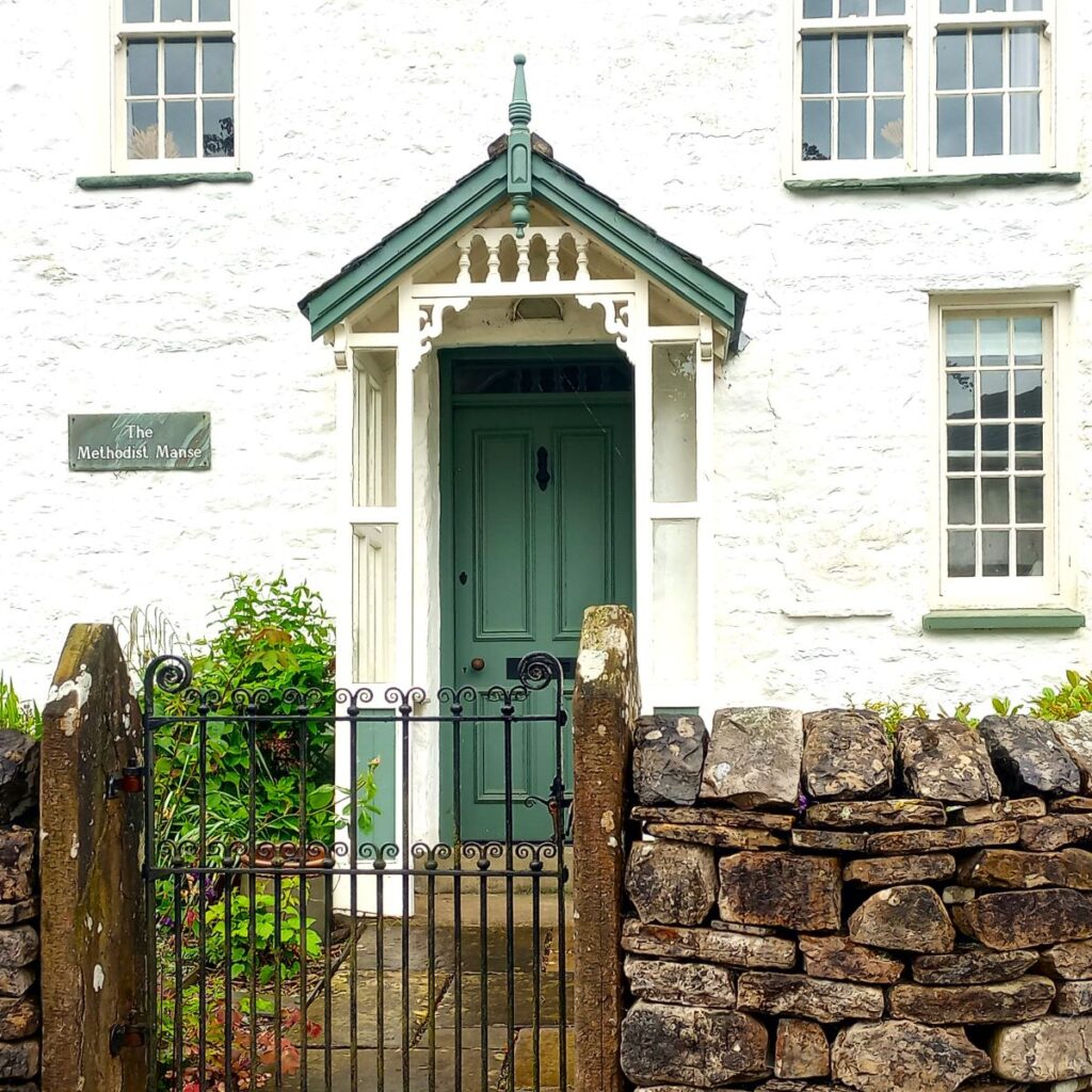
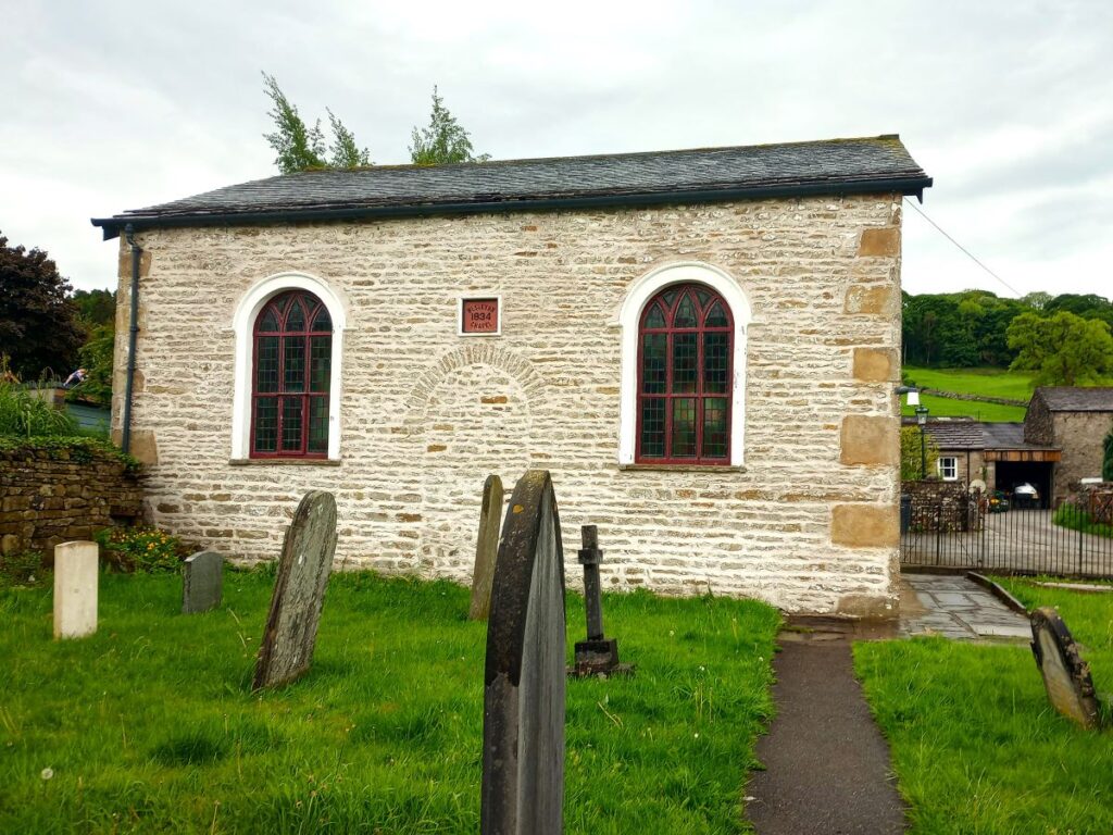
Although we are heading left, it’s worth looking right as we join the road to see the Heritage Centre, a great resource with lots of interesting material focussed on the history of Dent. We then pass the Methodist Church and head down to the Memorial Hall where we see the curiously named Dragon Croft – where we turn right.
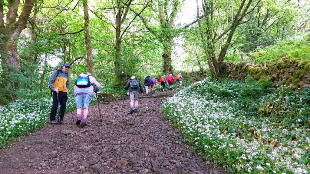
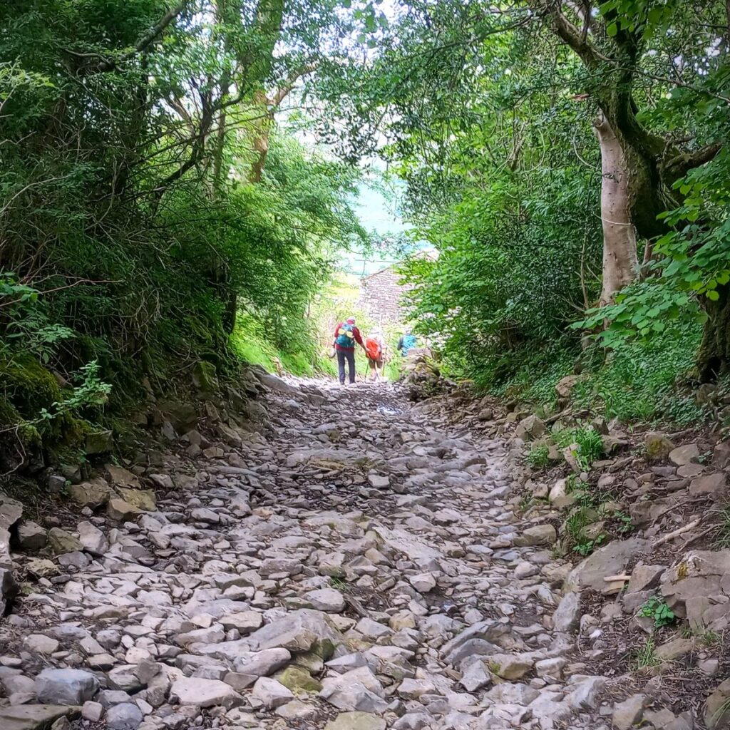
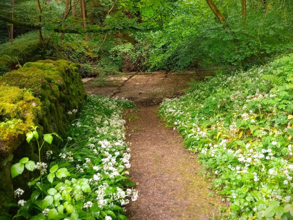
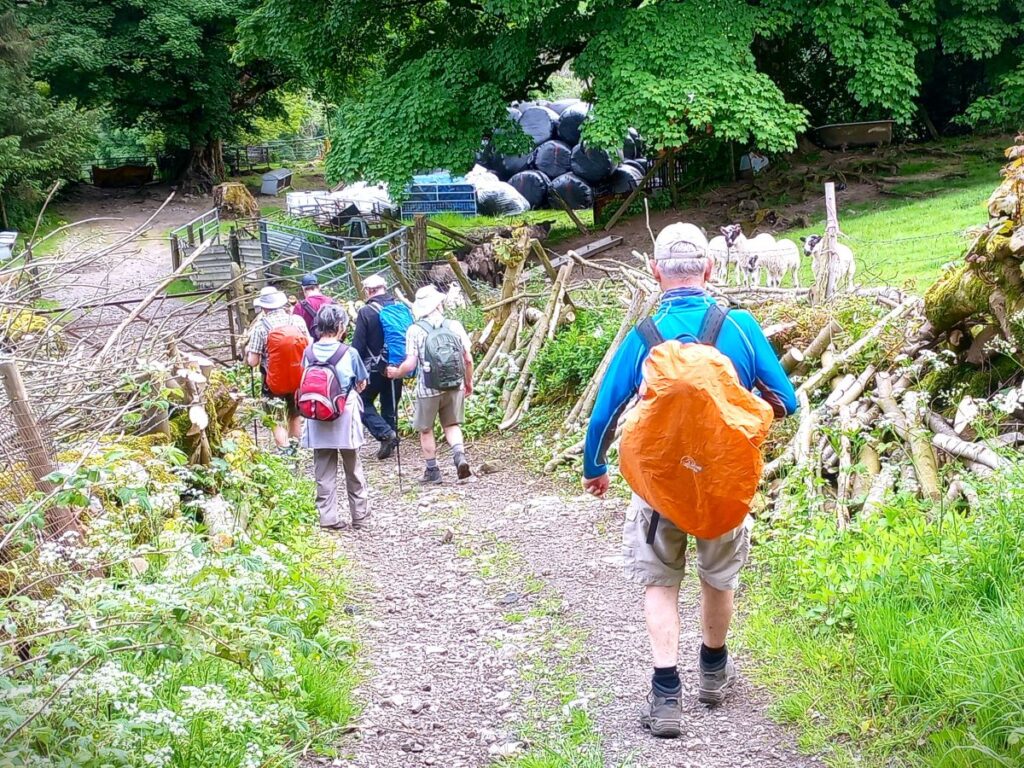
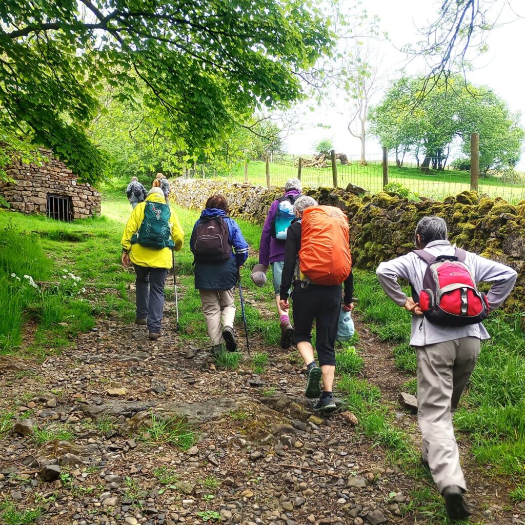
The first 200m of Dragon Croft is a well maintained metalled road, but this soon gives way to a rough track – we are now on Flintergill which takes us (relentlessly) uphill for the next mile or so. The track here is quite steep, and can be slippery when wet, so take care. When the weather is more clement it is worth taking some time to explore the gorge either side of the path.
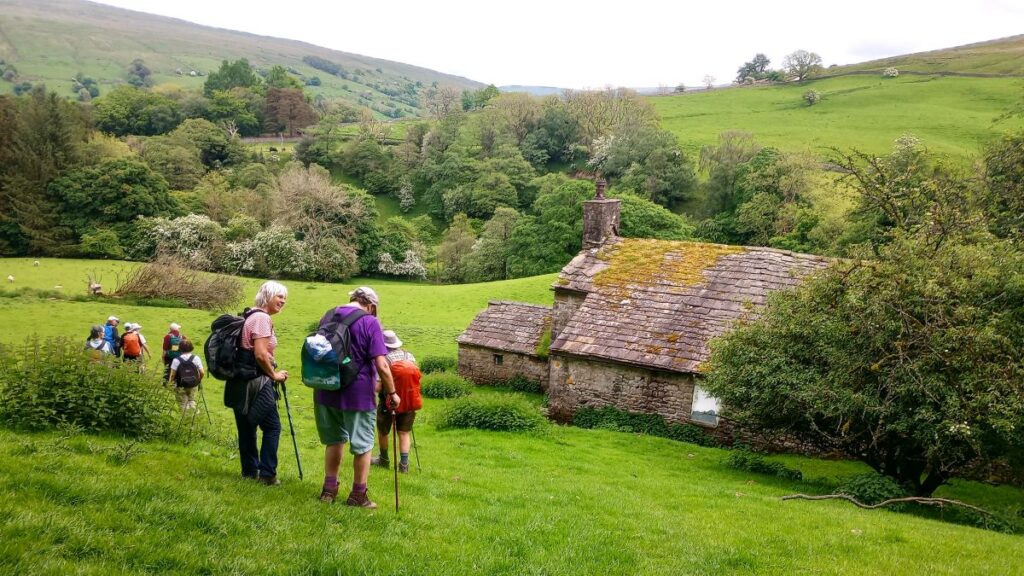
Just beyond the cottage at the start of Flintergill is an expanse of naturally occurring flat flagstones in the flow of the gill. These were used for centuries by weavers to “waulk” their newly woven cloth – this involved laying the new cloth on the flags and treading on it to tease open the fibres making it thicker and therefore warmer when dried. The cloth pieces were known as webs, and the practice as “Dancing the Web” – hence the local name for the flagstone – the Dancing Flags.
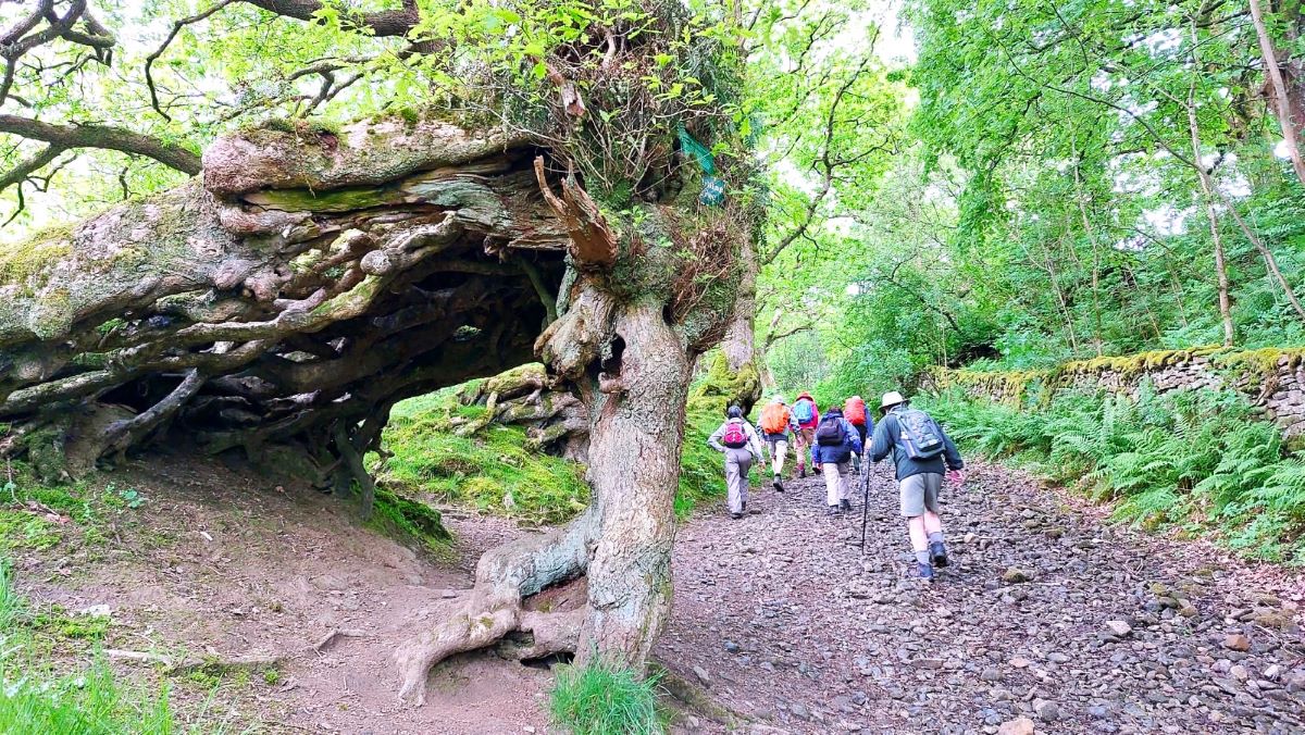
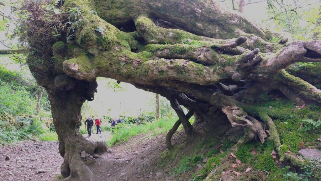
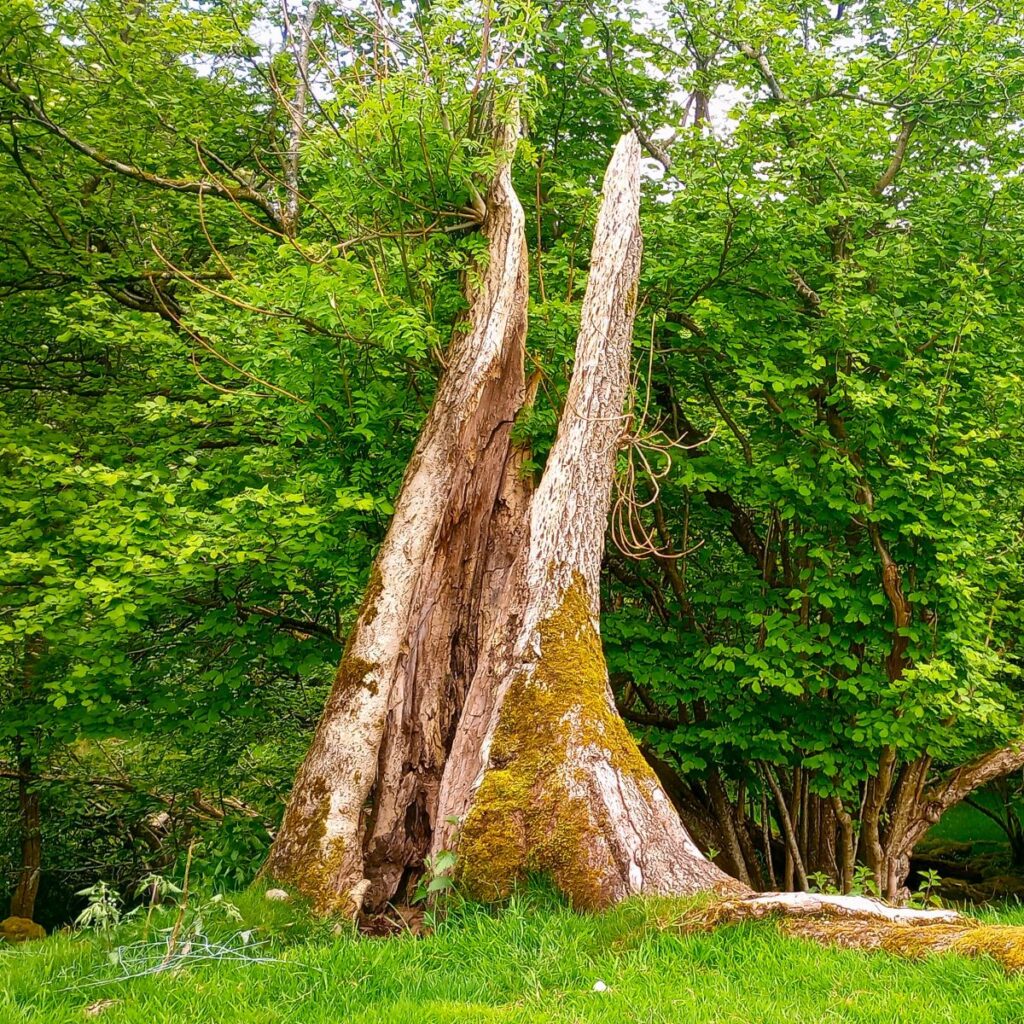
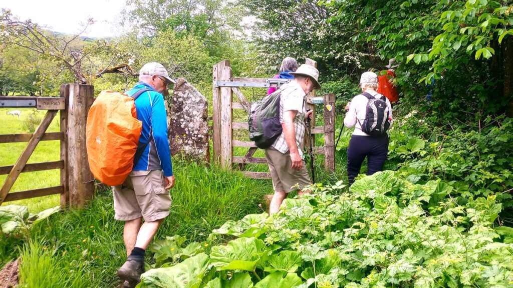
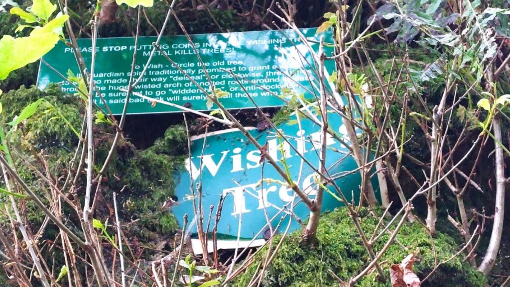
Further up the track, after passing through a gate, we find a particularly unusual tree referred to locally as the Wishing Tree – where a gap in the root structure is wide enough to walk through.
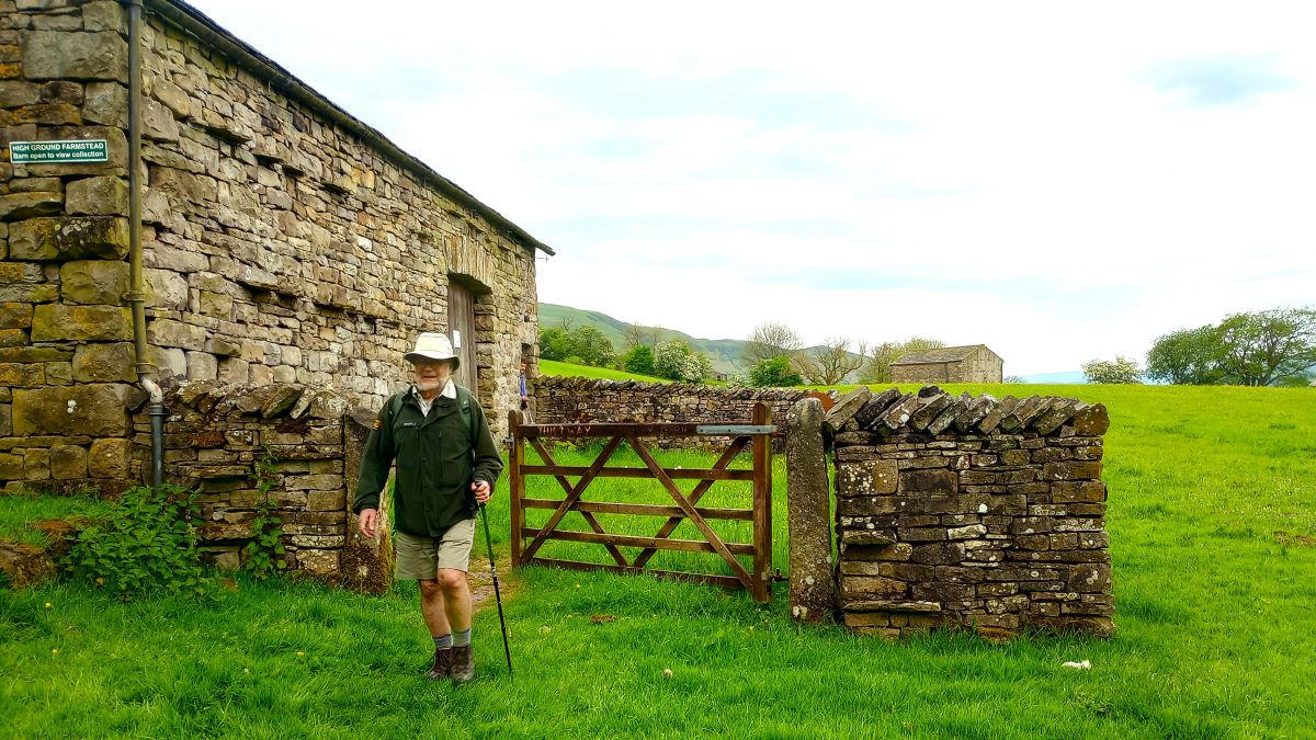
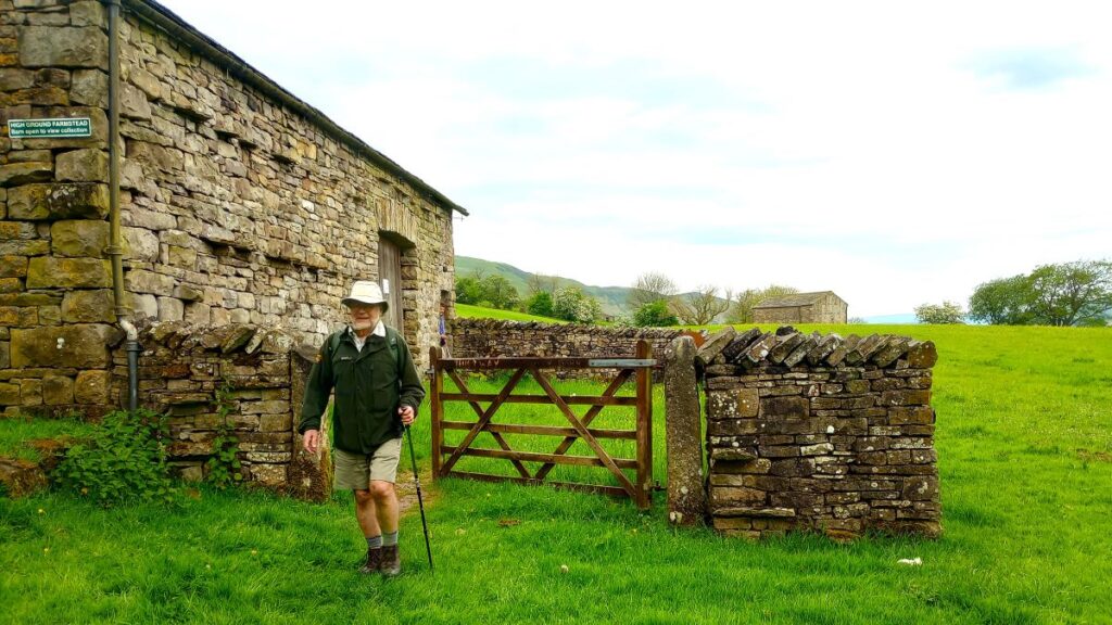
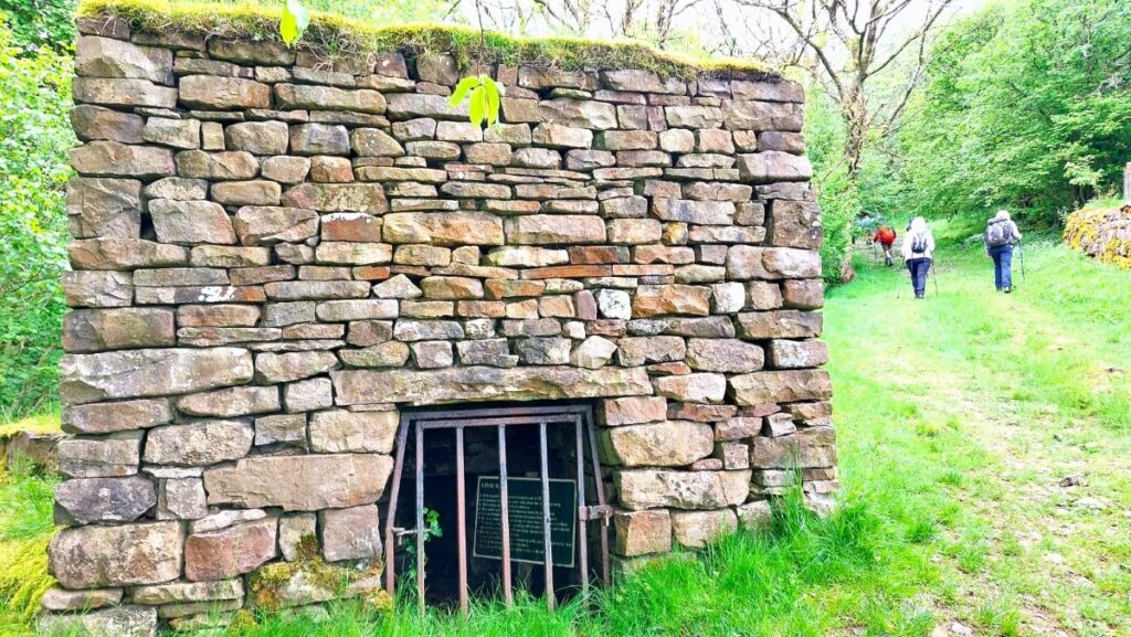
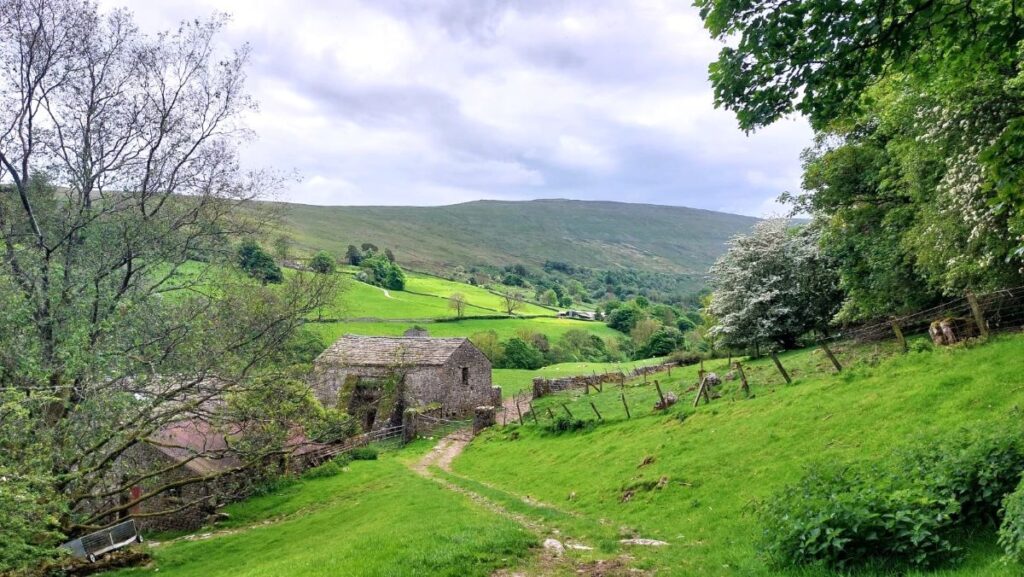
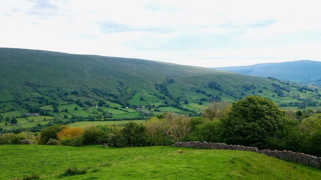
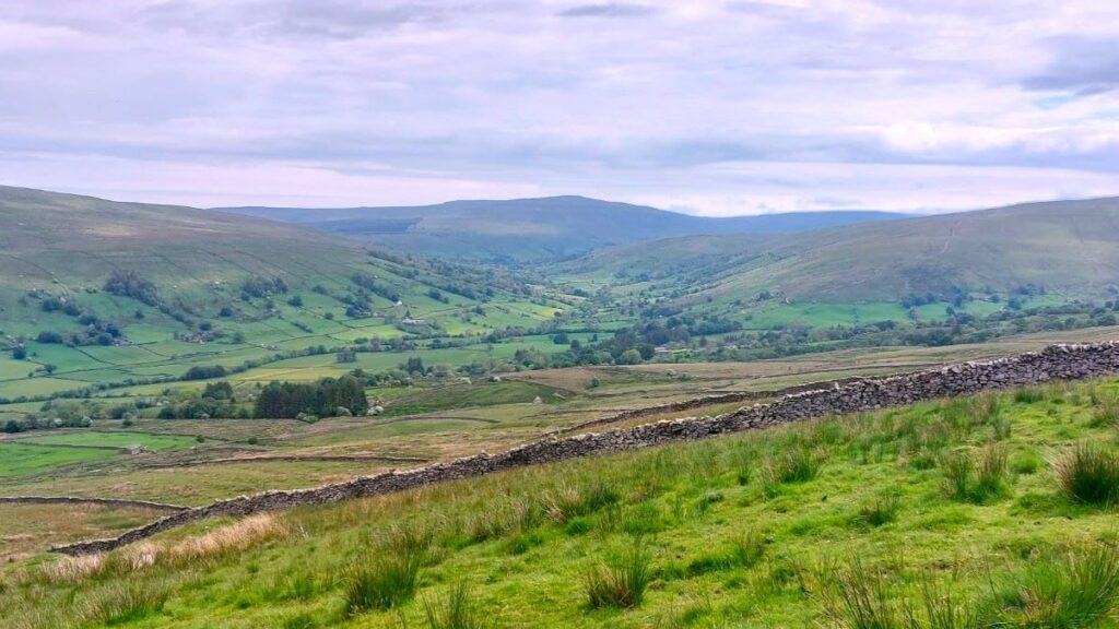
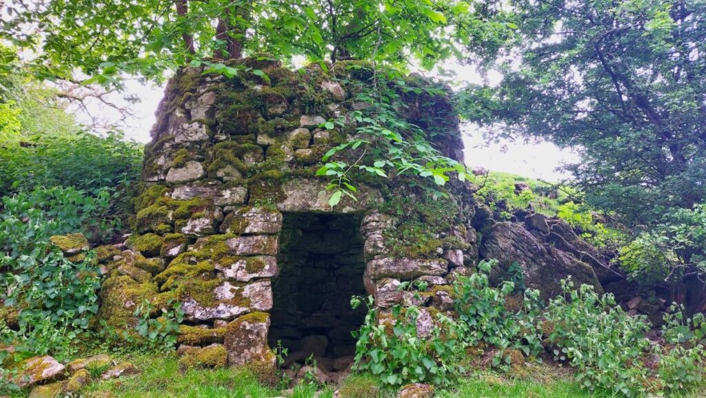
We progress further, and after a particularly steep section, we see a barn on the right, known as High Ground Barn. This has been converted into an open air museum with a static display of tools and equipment used until recent times in local farms. The front of the barn is a good place to rest and enjoy the views over the valley out toward the Howgills. Almost opposite is a lime kiln – not uncommon in the Dales, but this one is particularly well restored and cared for.
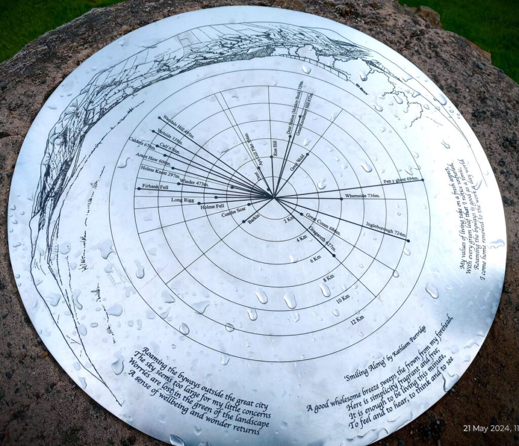
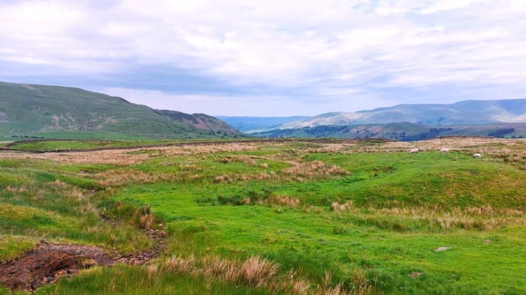
We continue up Flintergill, stopping at the viewpoint and “toposcope” – an engraved diagram that points out the direction of key landmarks before pressing on to the point where the path meets the Occupation Road, or “Occy” – This was originally a Droving route and was rebuilt as an access road in 1859 as part of the Enclosures Act. The enclosures (also spelled inclosures in some sources) had the effect of taking commons land out of common ownership and therefore needed access roads to provide routes across newly private property.
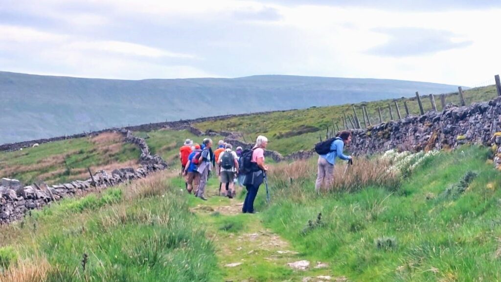
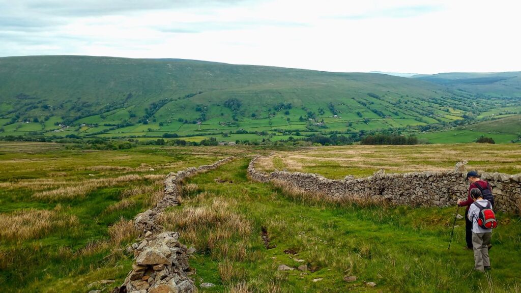
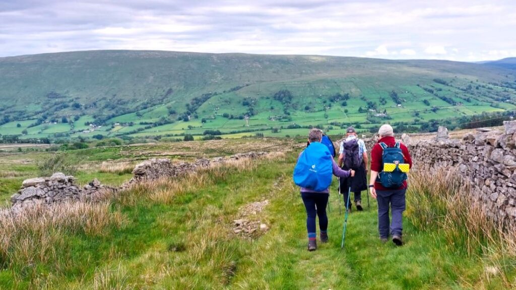
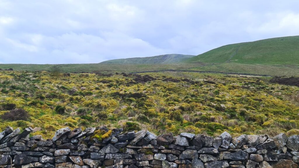
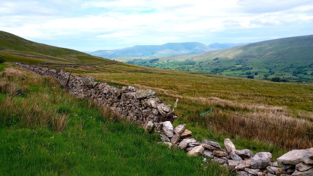
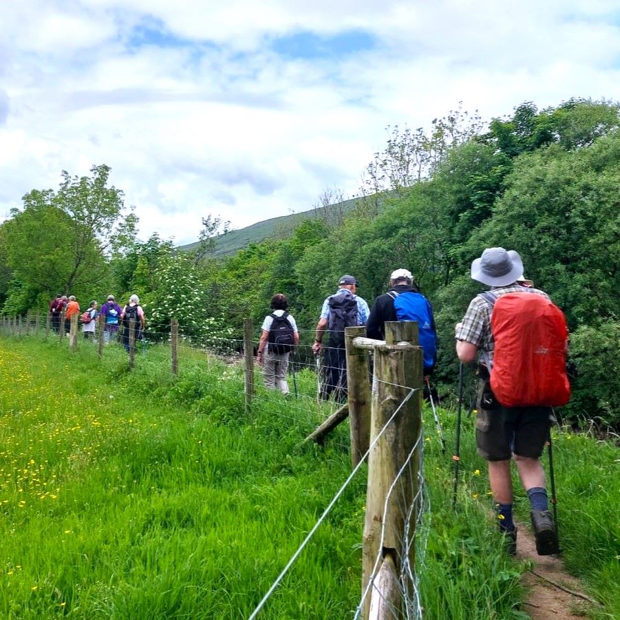
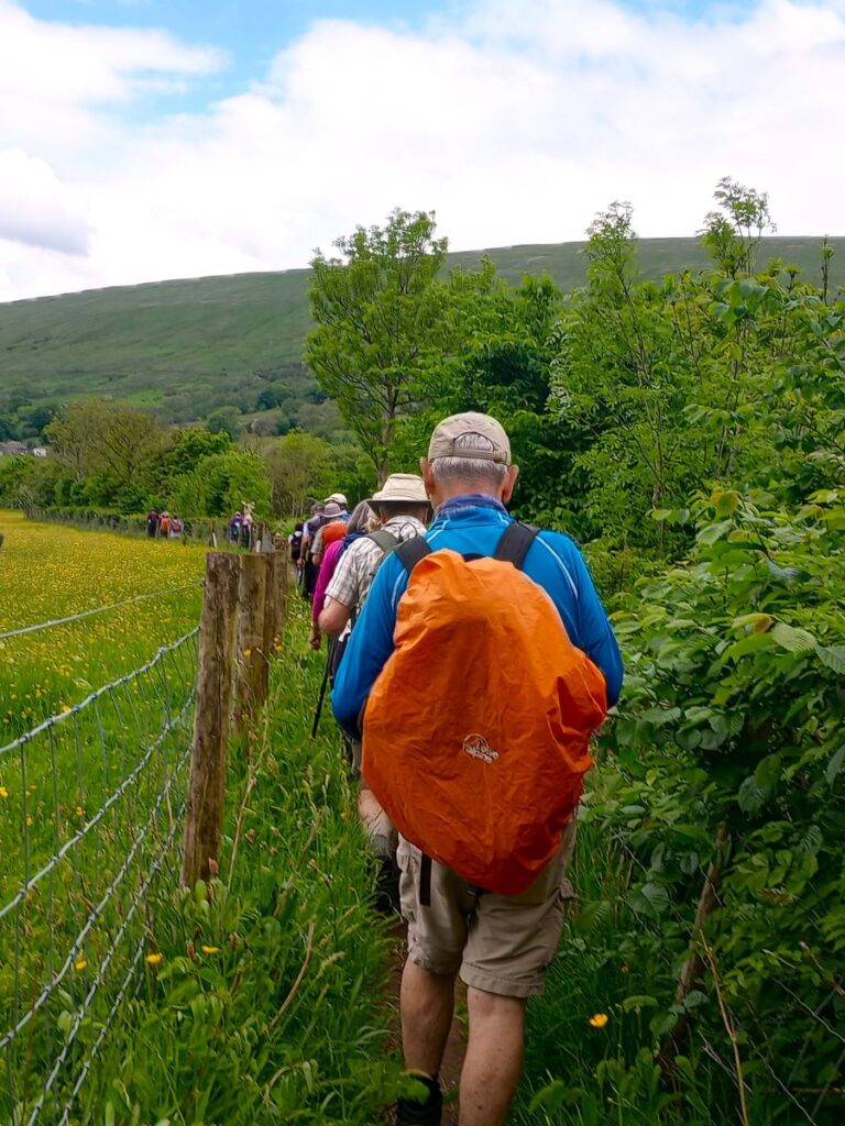
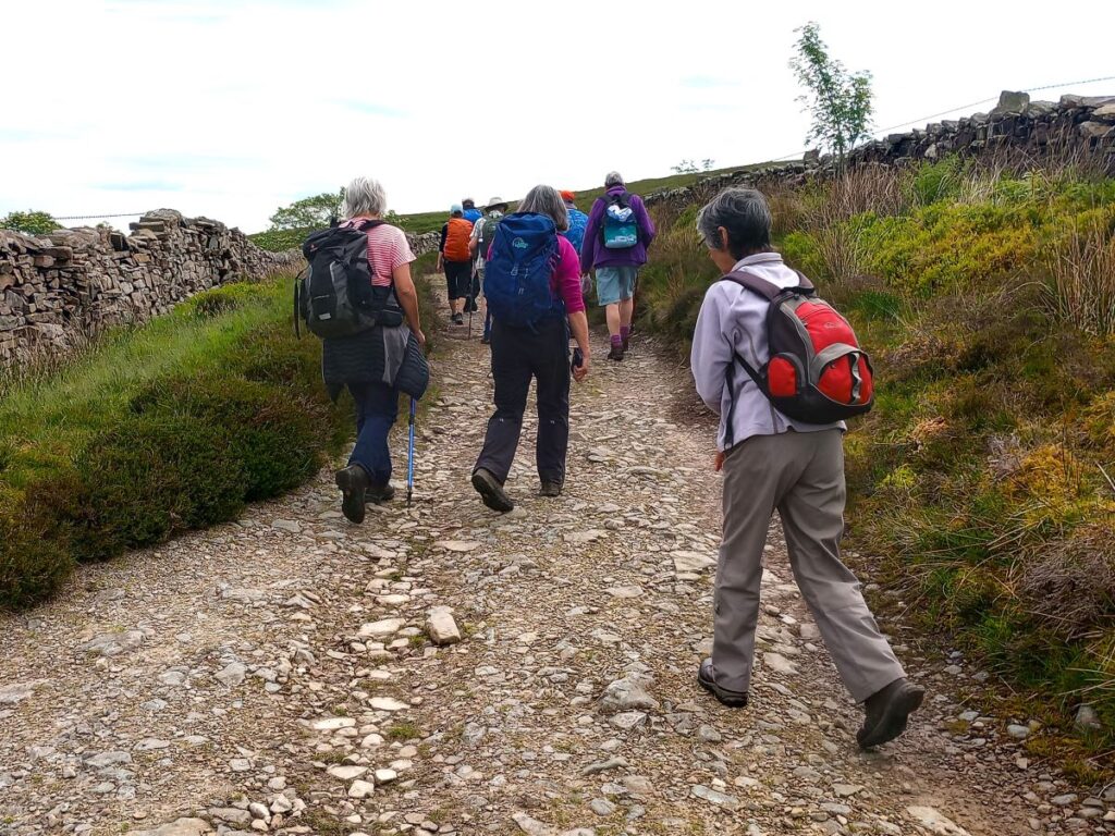
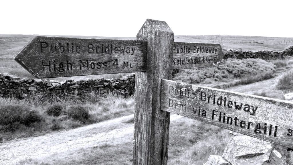
Once at the Occupation Road we turn left following a bridleway signed as High Moss 4 ml, and walk the Occupation Road for the next mile or so. Over to our right the fell continues to rise, and we notice a series of standing stone at the top – these are known as the Megger Stones, and it is tempting to build a narrative that these are ancient places of worship – the truth is more mundane – they were built to resemble standing stones by quarry workers. We visited them on a Bentham Footpath Group walk – but that predates our website.
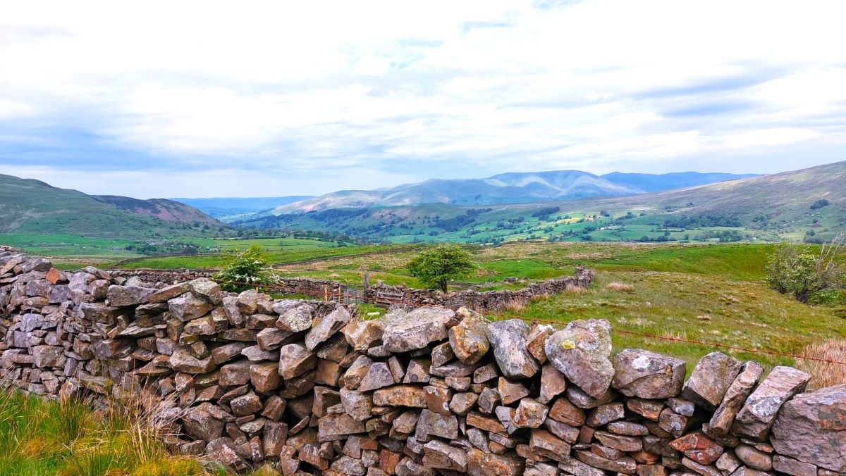
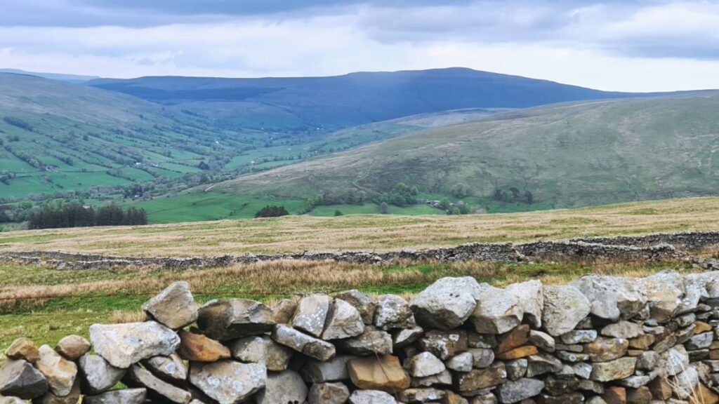
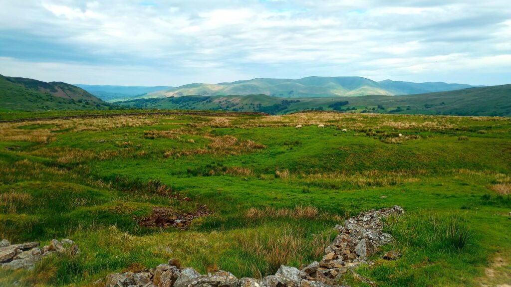
Also worth noting is the view back to the Howgills – when the weather is favourable this is absolutely wonderful. Click hereto see a panorama video of the view.
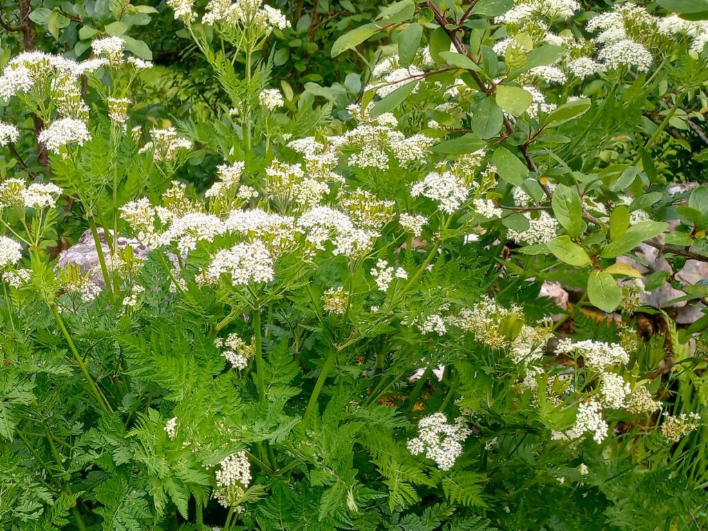
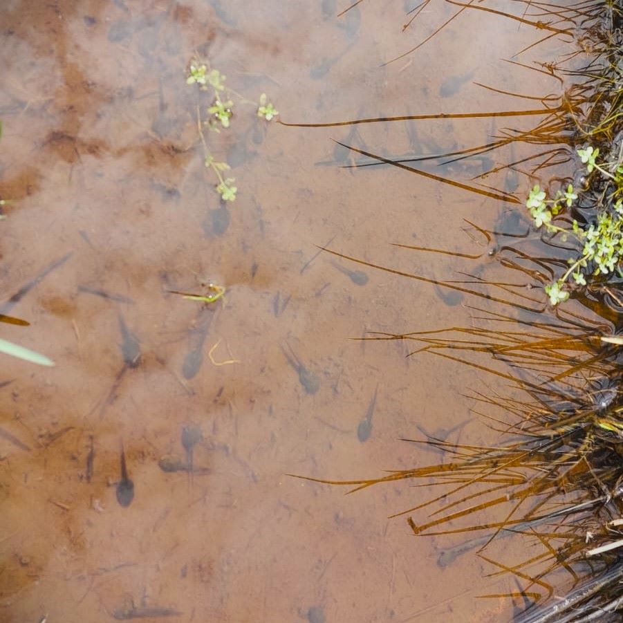
If you can’t see the Howgills, it’s probably raining – it happens quite a lot here, and as the rain runs down from the fells it creates standing pools on, and adjacent to, the occupation road. In the spring these are filled with frog and toad spawn in quantities that seem unbelievable, given that actually seeing a frog or toad here is quite rare. At the time of our walk, the tadpoles were active and at the stage where they were swimming well, but not yet with developed legs.
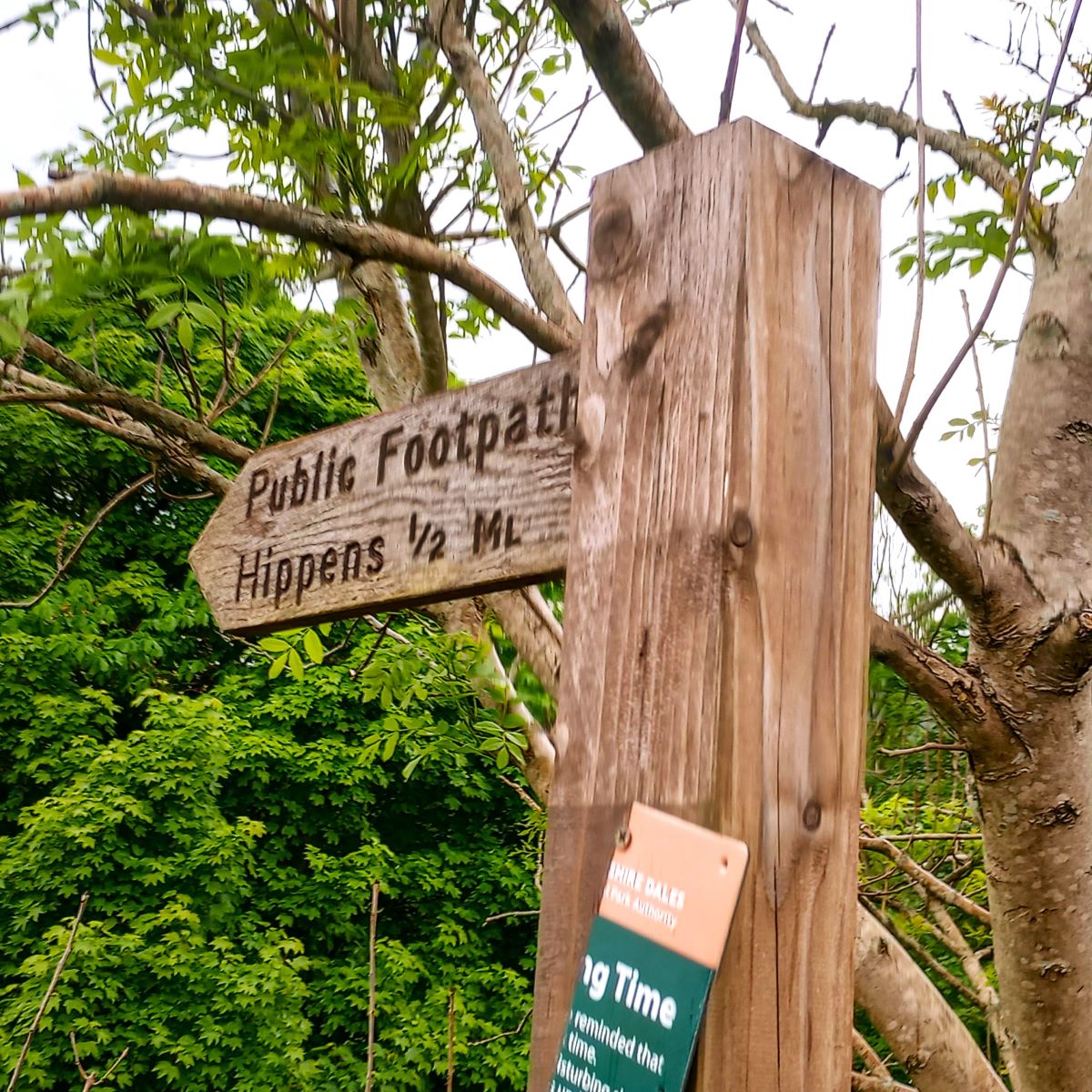
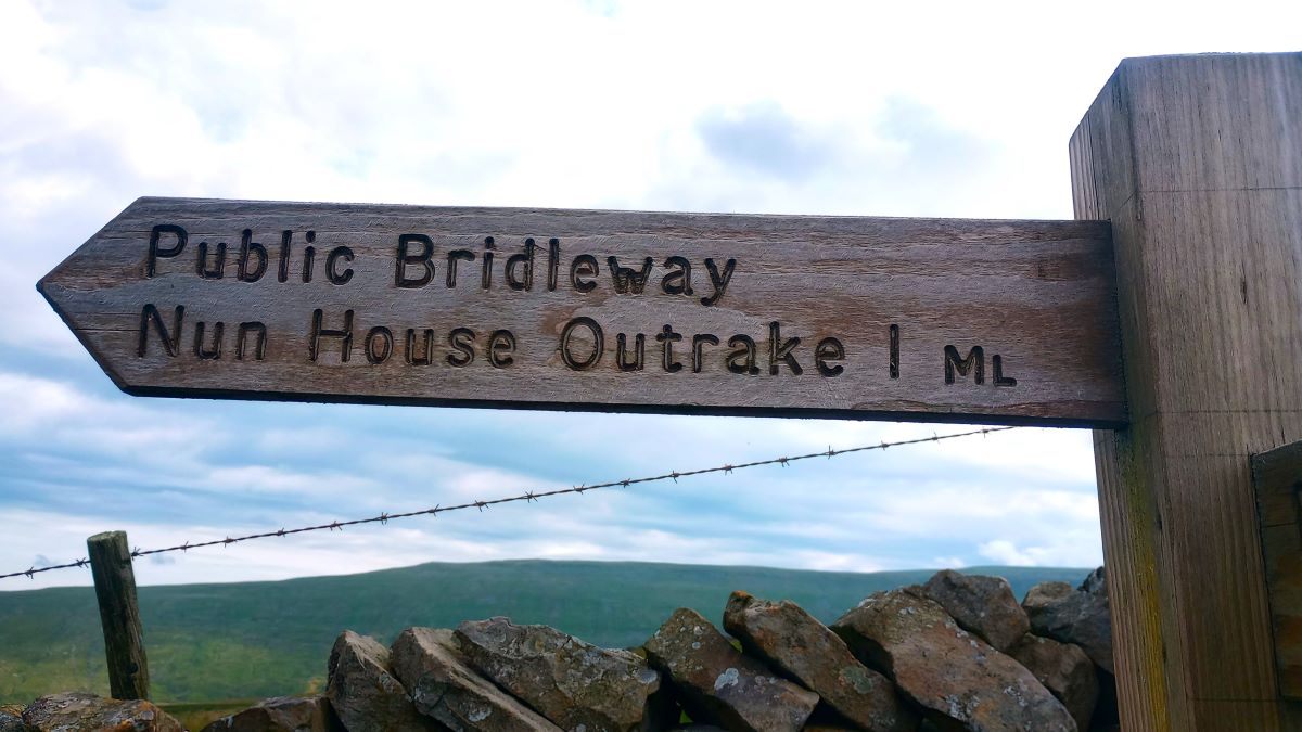
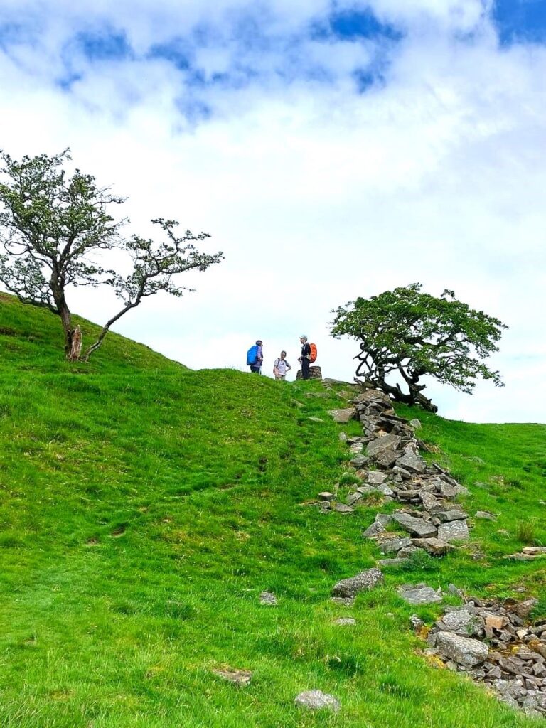
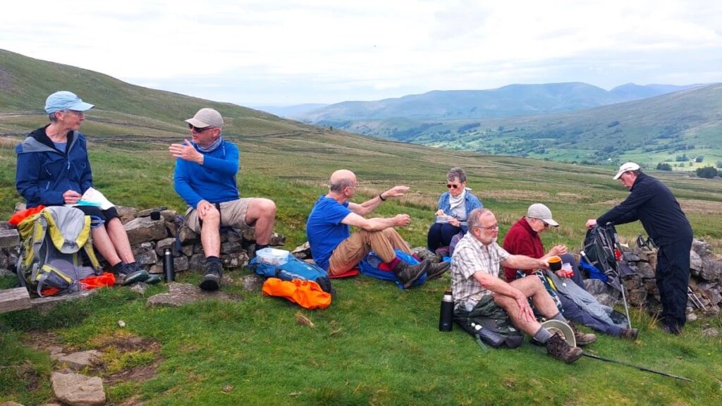
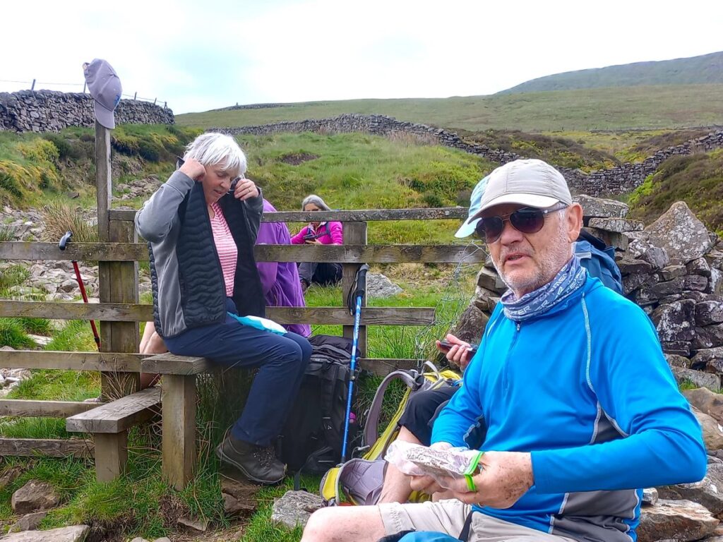
Our next landmark is the junction where a green lane leaves the occupation road on the left to head down to the bottom of the valley. Look for a way marker and follow Nun House Outrake 1ml. At the top of this green lane is a stile and a wooden gate – we took the opportunity to pause here and enjoy the views whilst we had lunch.
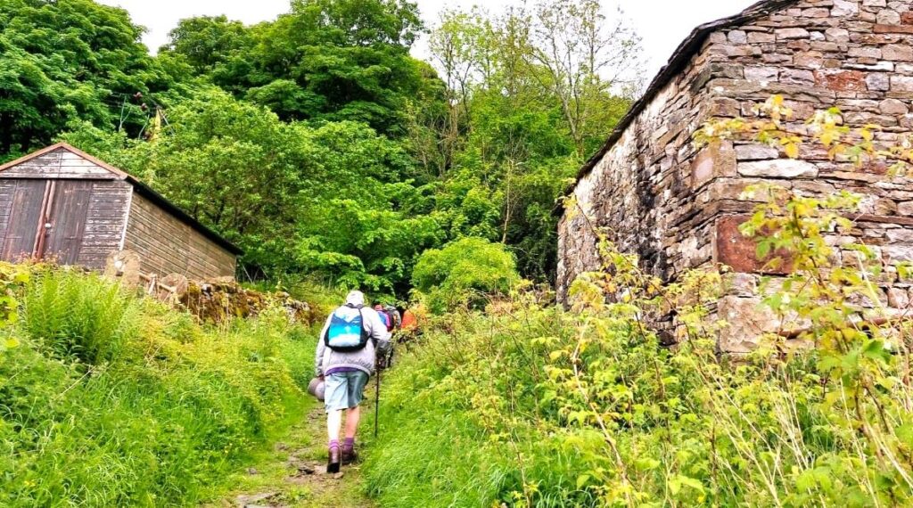
From here we head down the lane – navigation will not a be a problem, although finding a safe route though the deep rutting of the surface can be challenging, particularly in bad weather.
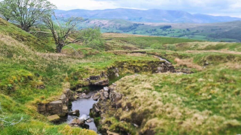
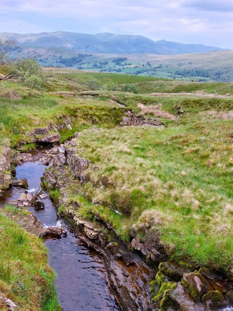
Toward the bottom of this green lane, we pass High Nun House (on our left) and then arrive at a minor road – this is Deepdale Lane – an extension of the Kingsdale Road that features in a number of our walks. Our path continues opposite and heads down toward a farm building at Scow, before taking a sharp left to follow Deepdale Beck down toward it’s confluence with the Dee.
Although we are following the line of the Deepdale Beck along this part of the walk, it is worth noting that we are not walking along the side of it – the path remains about 100m uphill from the stream for most of this section, and the beck is not always clearly visible.
After about 500m contouring around the hillside, generally heading north, the path comes down to another minor road – the easiest way to gain access to the road is by doubling back on yourself a little.
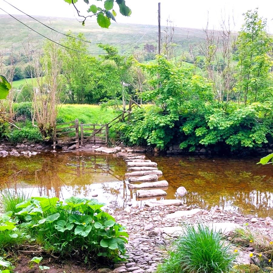
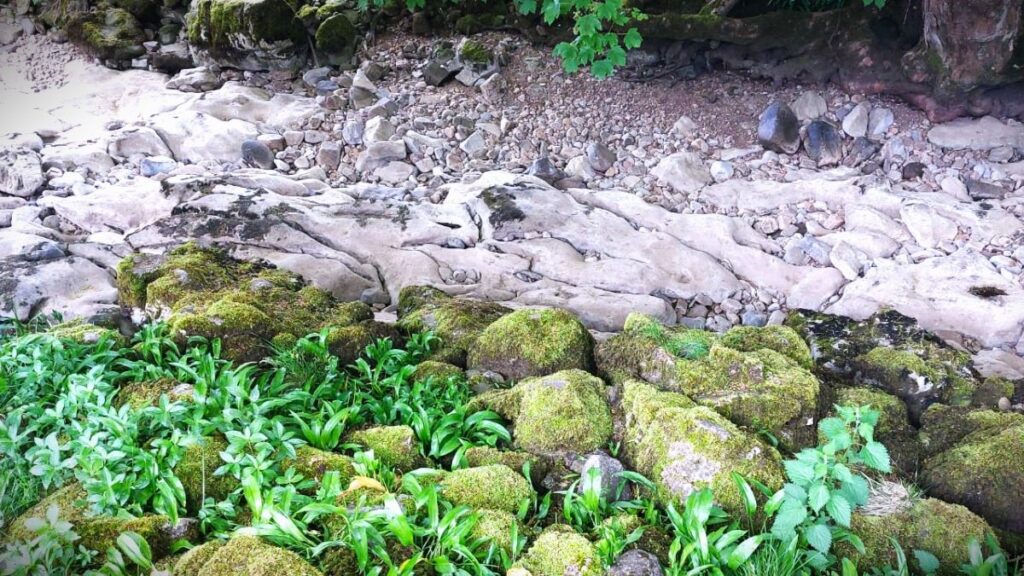
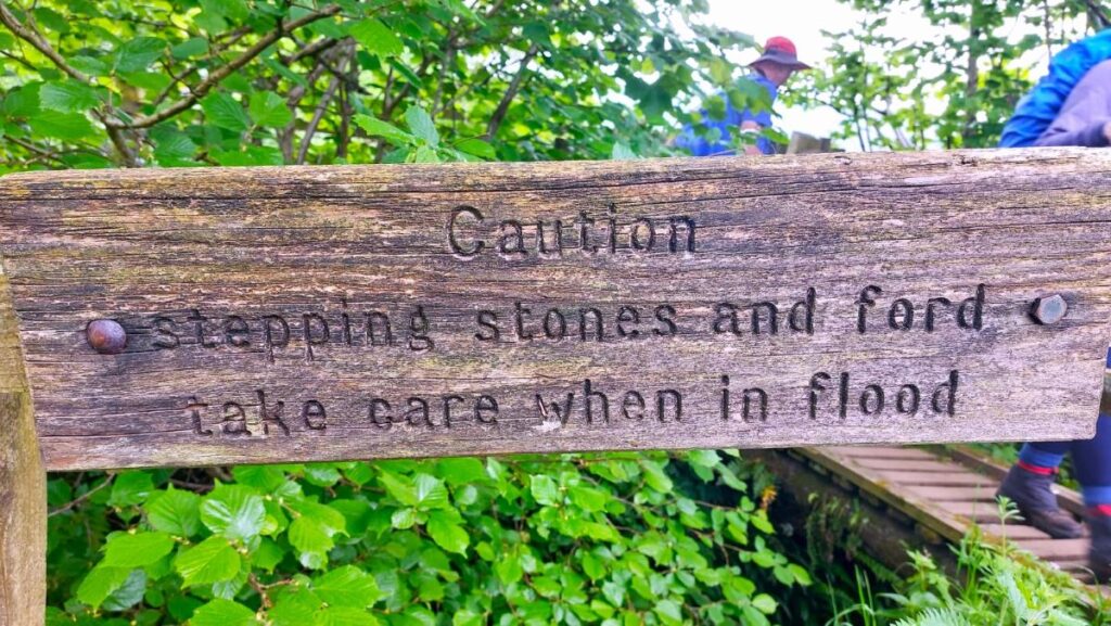
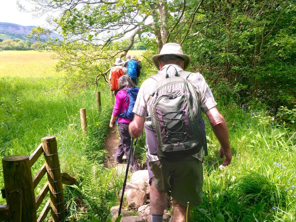
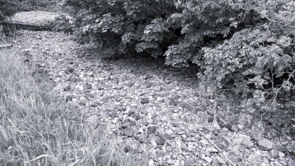
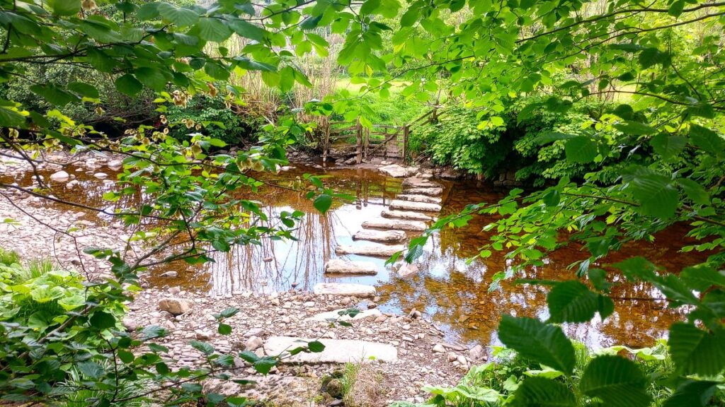
At the road we cross and continue via a way-marked stile on the other side – we are now on the well used Pennine Journey path which follows the Deepdale beck, then the River Dee back into Dent. Once we are at the Dee, we note that the flow is apparently intermittent – there are sections where the water is clearly flowing, but in others, the river bed seems dry. This strange effect is created because there are channels within the bedrock where the flow disappears such that under drier conditions, these unseen channels carry all the water with the visible part of the river remaining entirely dry.
When heavy rains come – as they often do here – the river refills and the flow is impressive – enough for instance to significantly erode much of the bank along this section, and to entirely hide the stepping stones that were clear and safe for use on the day we visited. (note that the stepping stones are not part of our route though).
We stay with the Pennine journey path , which coincides along the Dee with both the Dales Highway and the Dales Waypaths, all the way back to the Church Bridge in Dent – most of this is right next to the river, although there is a small diversion into fields just before the bridge comes into sight.
Our walk ends at the bridge, but a short stroll back into Dent where ice cream or other refreshments can be obtained may beckon. To learn more about Dent try these links . . .
We show this walk as being “easy”. That’s based on an arbitrary cut off of 12km walking or an ascent of 700m as a threshold. It is worth noting however that the Flintergill section is long and steep so may feel more challenging – our advice is to take breaks and enjoy the barn and viewpoints on route to break up the challenge.