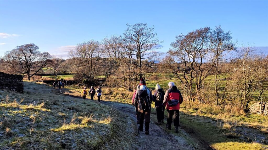
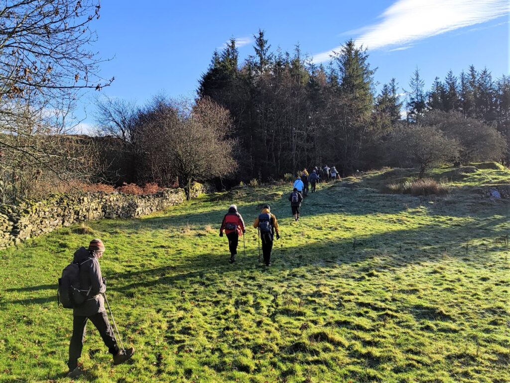
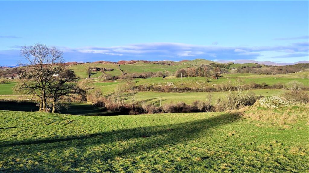
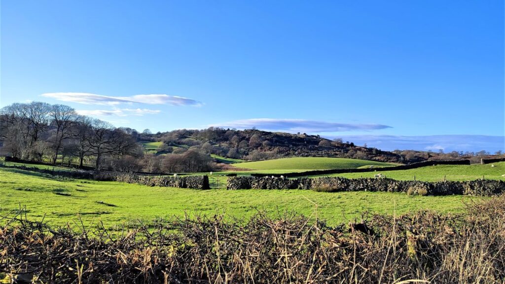
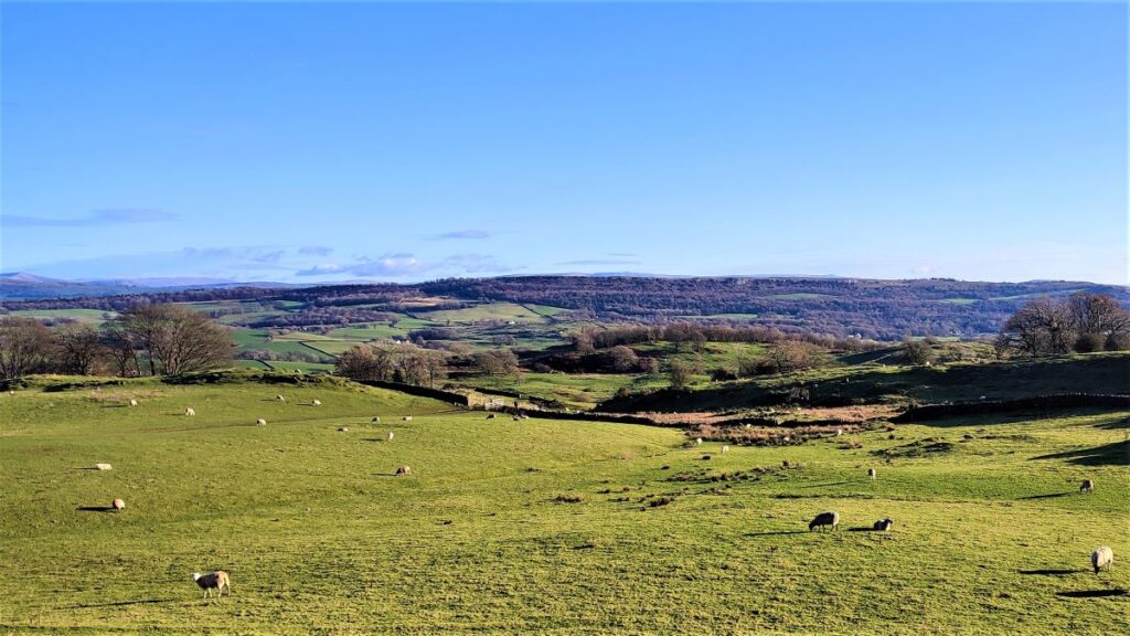
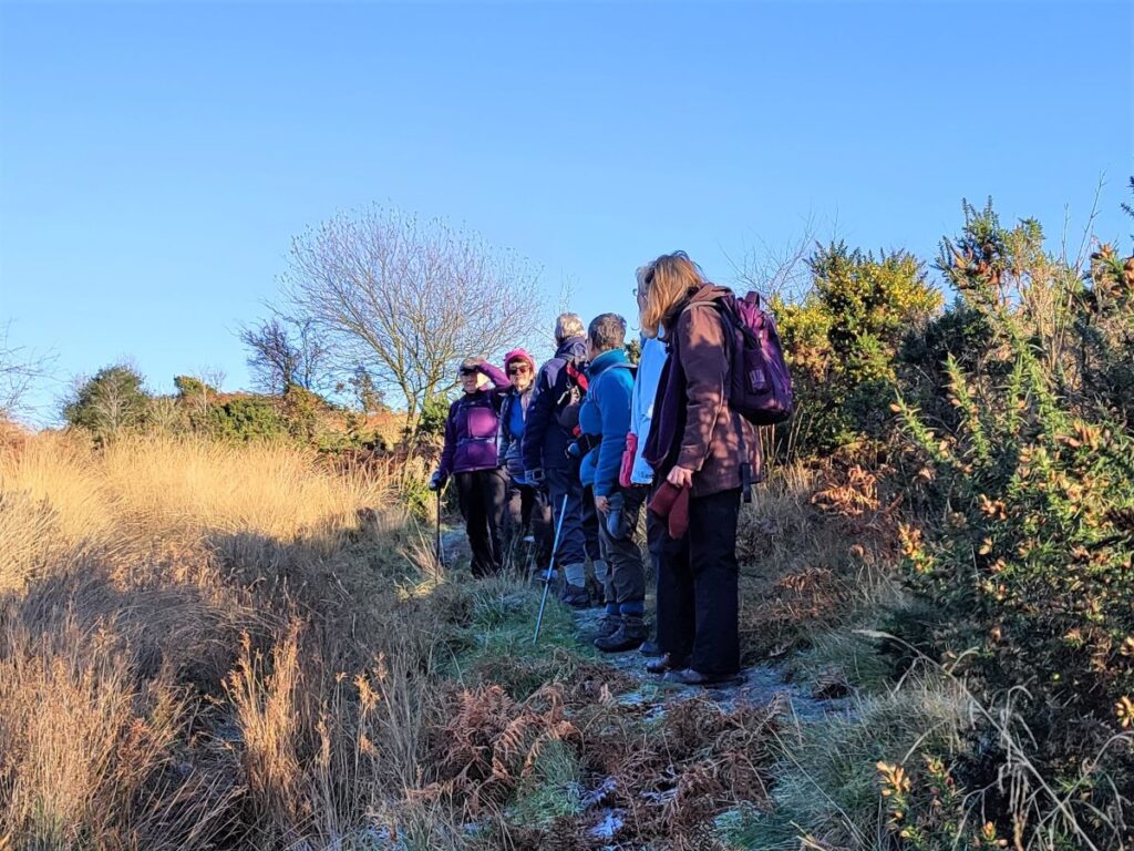
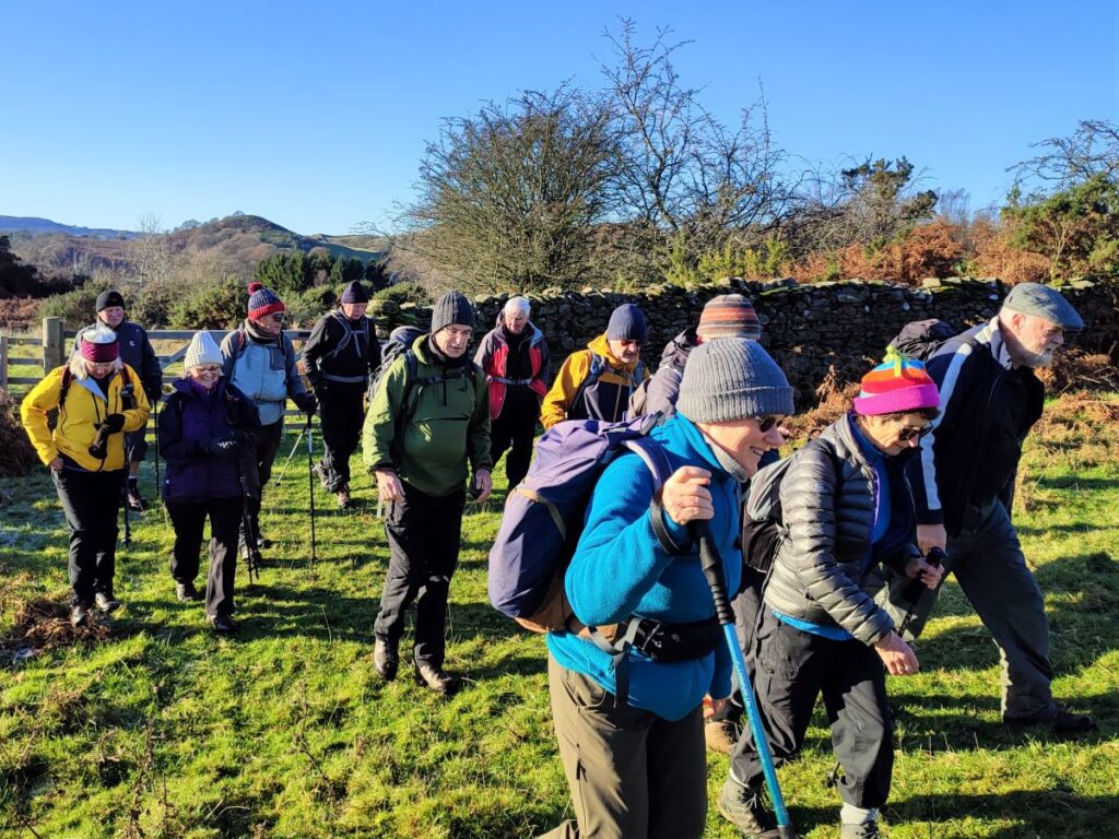
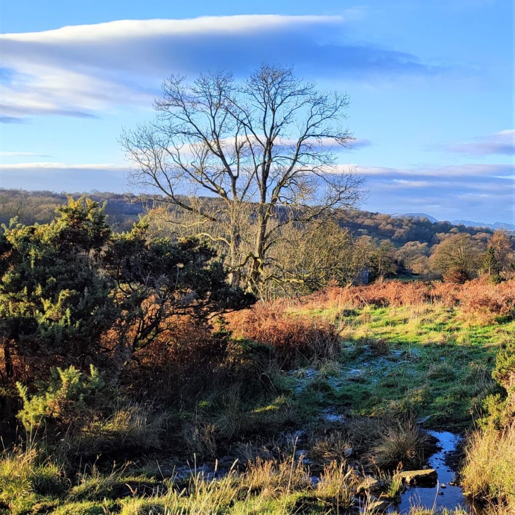
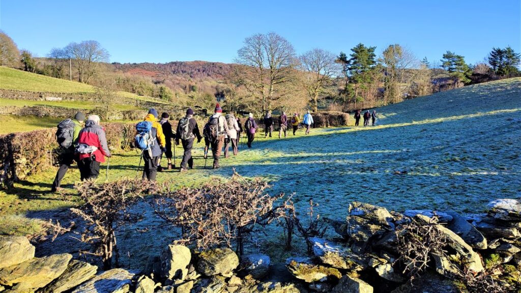
Lord’s Lot is a modest hill in South Lakeland offering tremendous views of the Lakeland peaks to the Northwest and the Howgills to the Northeast. Despite being only a few miles from Windermere this area is refreshingly quiet – the group met no other walkers during our walk despite the near perfect conditions.
This circular walk is classed as easy because it’s below our 12km threshold, but you should be aware that there is some climbing up to Lord’s Lot, and that the paths can be muddy in winter. The views make all this worthwhile though, and if you pick a spring day to do this walk, you can also enjoy the spectacular white blossom that the countless damson orchards in the area produce.
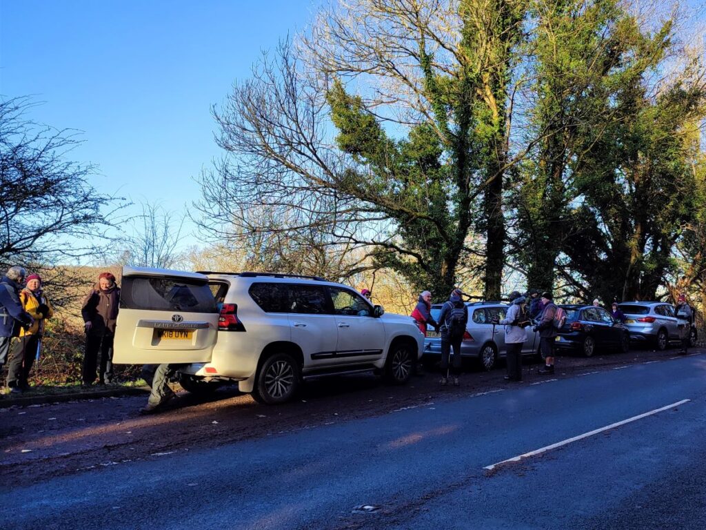
The walk starts at a layby on the A5074 just South of Winster. When travelling from Bentham, this is found by taking the A65 westbound, crossing the M6 and then taking the A590 signposted toward Barrow. Look for signs to Bowness and Windemere A5074 on the right, and then follow the A5074 for a good while (approximately 5 miles).
Continue until the main road takes a sharp left turn with a smaller road on the right signposted for Crosthwaite. You are now heading toward Bowness, and we are about one mile from the layby. Pass a hotel on the right, then Lambhowe caravan park on the left, followed by a minor road, again on the right, then look for the layby on the left. The layby is before Winster so if you get that far you have missed it – turn round and try again.
If you are using a paper map for navigation the first layby is at SD42459259. If you are using Satnav, then the nearest postcode is LA8 8JD, or you might try the road name “Rickettrae Winster”. If you prefer What-3-Words then the tag is scrapping.escape.partly.
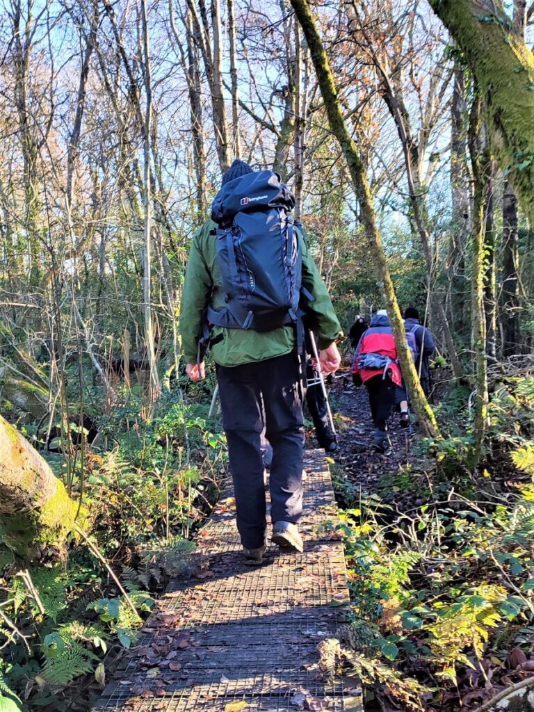
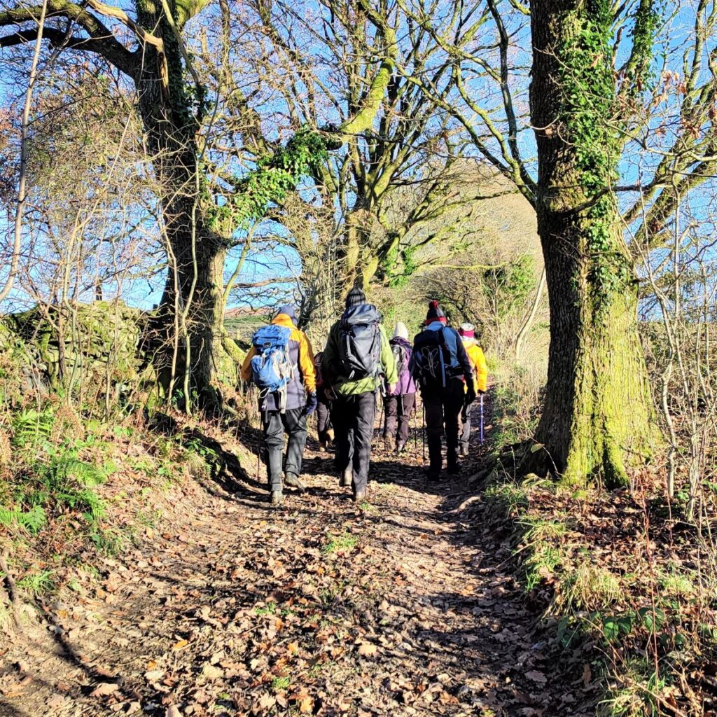
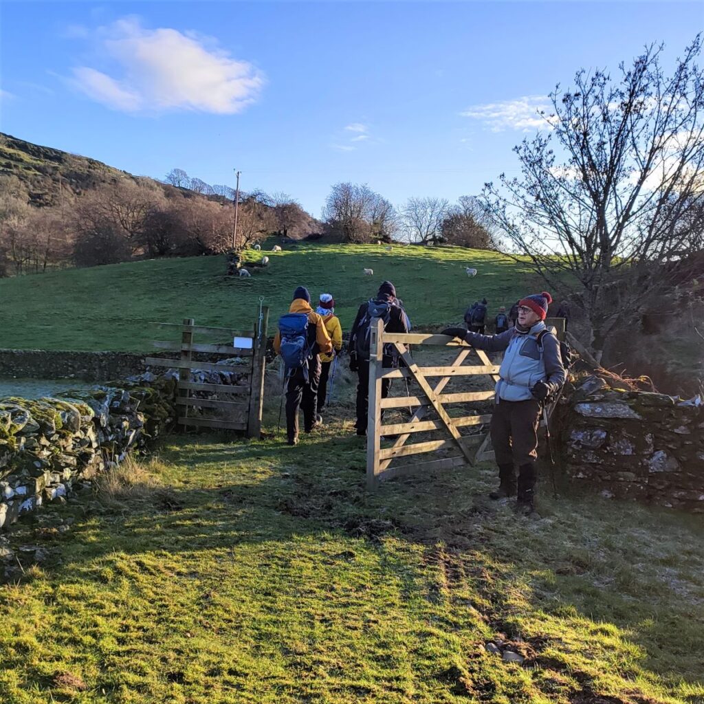
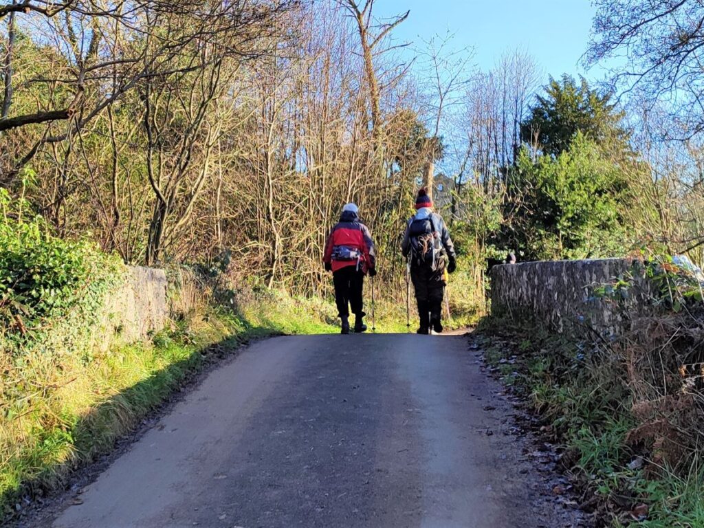
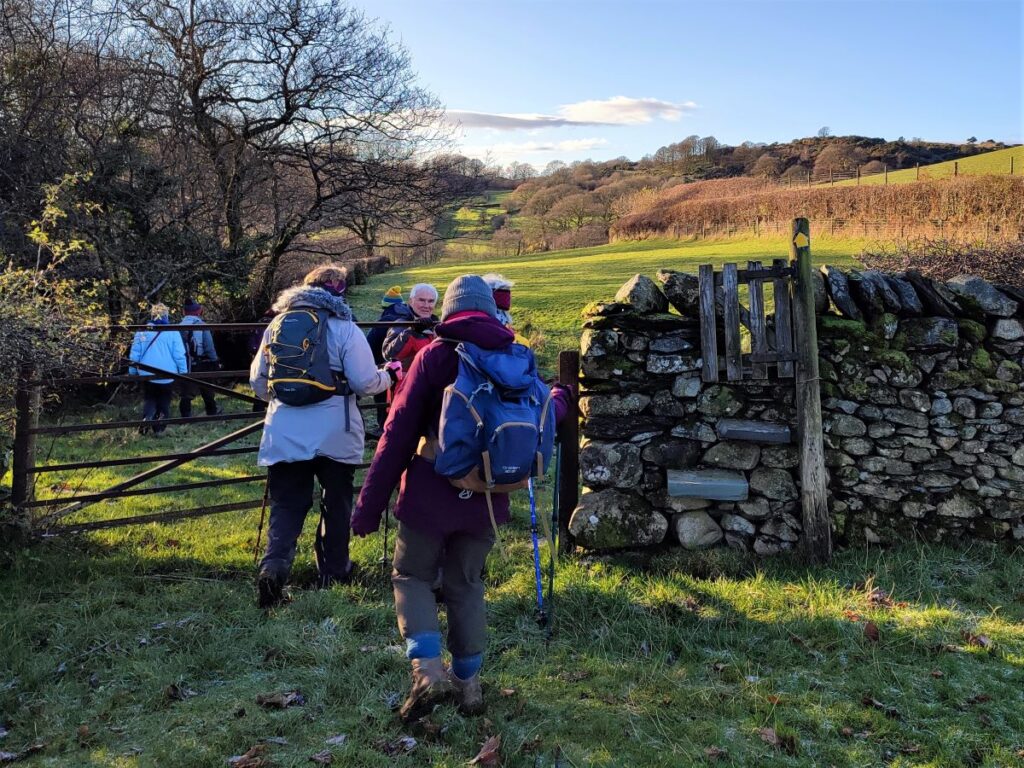
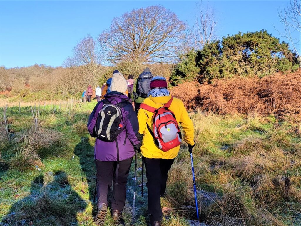
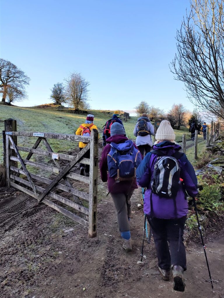
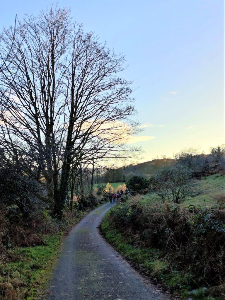
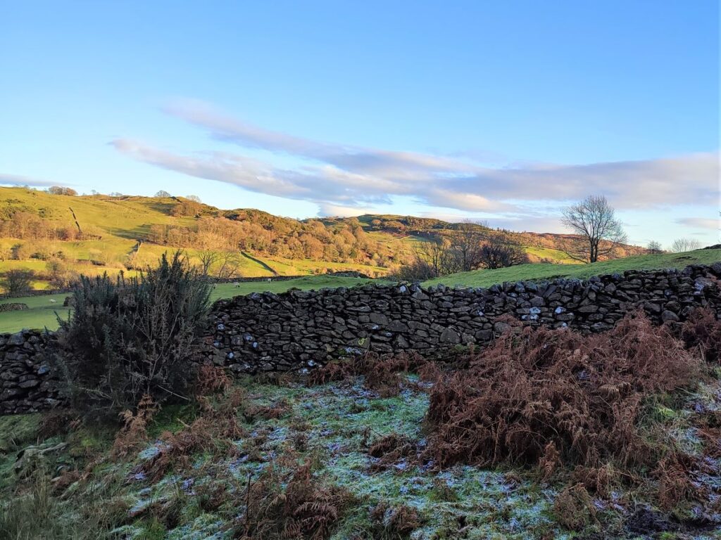
From the layby we head uphill along the road for a short while. This is an A road, so care is needed, but we are only on this road for a very short while, and soon see a minor road coming in at an angle on the right. We turn back on ourselves here and head up this tiny road through woodland at Brackenrigg.
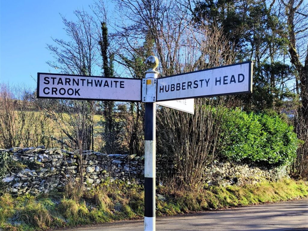
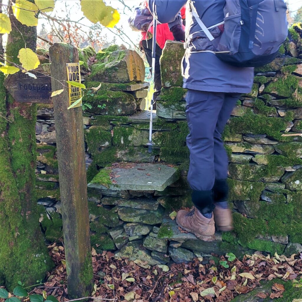
Our next milestone is footpath signed for Hubbersty Head at a stile on the right which takes us through fields and on toward Greenbank Farm. There is also a path on the left hand side of the road – this goes up to Foxhole woods. This might be worth exploring another time.
We follow the path South through a field until we arrive at an access lane to the farm, which we cross, continuing on the far side still heading South.
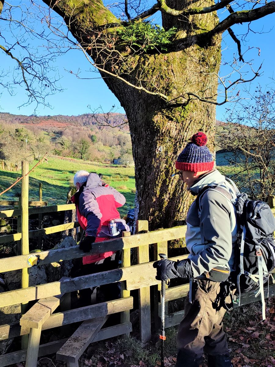
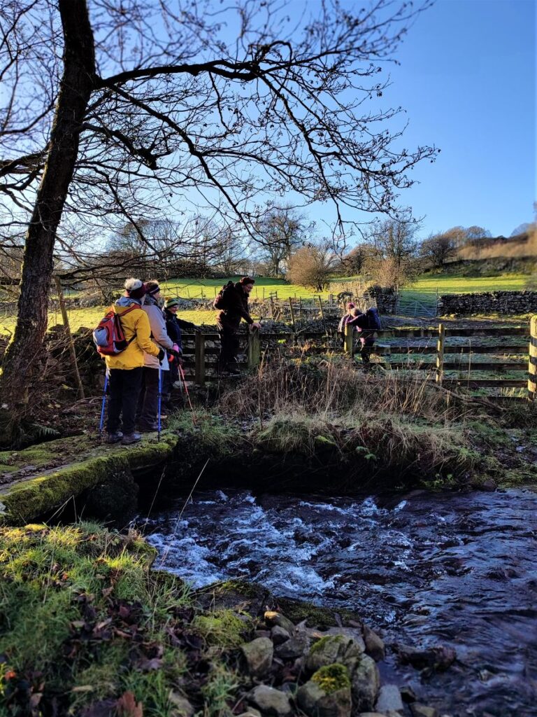
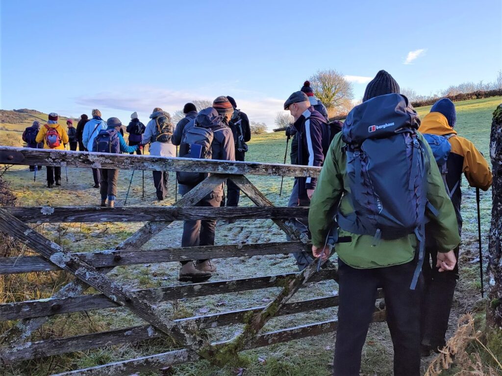
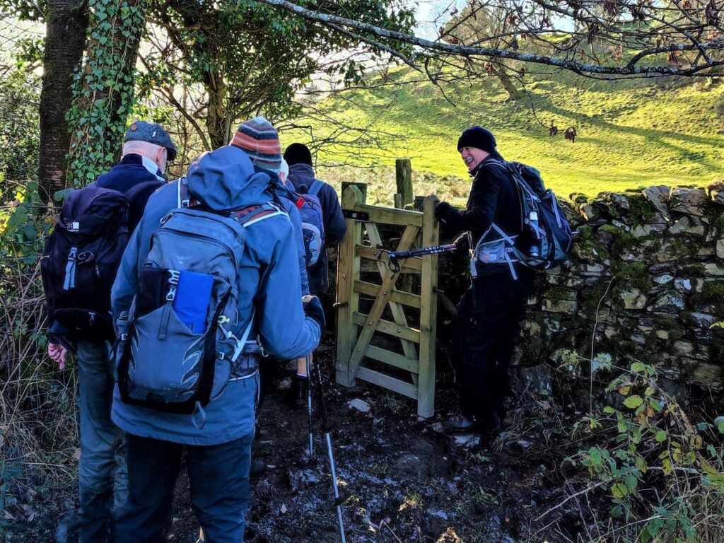
We cross a number of stiles and gates, with this well walked path remaining clear at all times. Before long, we arrive at a small wooden footbridge over a stream and just beyond this we arrive at a minor road – we are now at Hubbersty Head.
Our path now continues on the opposite side of the road – and is well signposted. You will see a large house on the left – this is Hill Top. We continue on past the gates for the house along a narrow road called Head Lane, which curves round to the right around a curious, almost circular garden before heading South. We soon find a wooden gate on the left signposted as a footpath, taking us into fields along a right of way heading toward Mirk Hill.
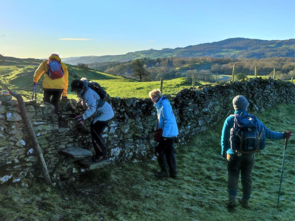
Our path now heads consistently East along the bottom edge of several fields until we arrive at a stile next to a large tree and a very small stream. The stream may disappear during dry weather so don’t worry if you don’t see it – the stile and tree are easy to spot though, and just beyond here we bear right, following a fence line round until we find a stile onto a farm track in front of an attractive white farmhouse.
We follow the track away from the house until it bears sharply to the right, at which point we head left toward the woodland.
As we head into the woodland there is a path on our left which takes us North and uphill skirting the back of Mirk Hill. At this stage we are heading up the left bank of the River Gilpin, and the houses you see on the far side are Dodds Howe.
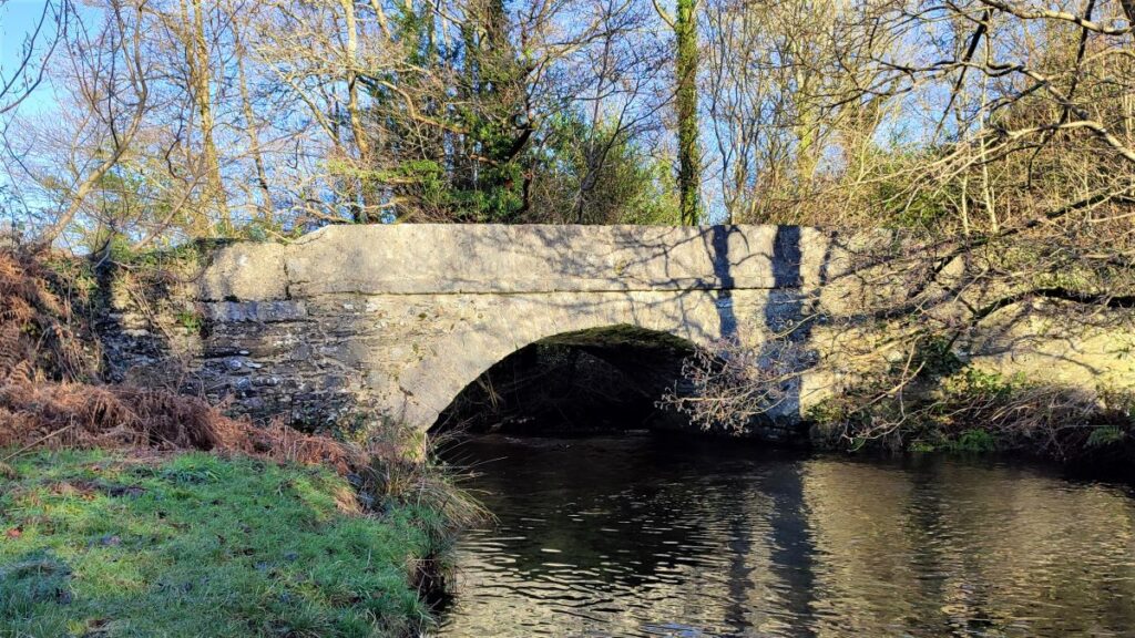
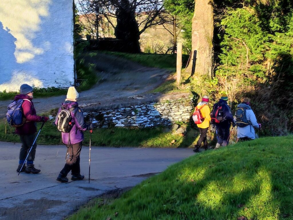
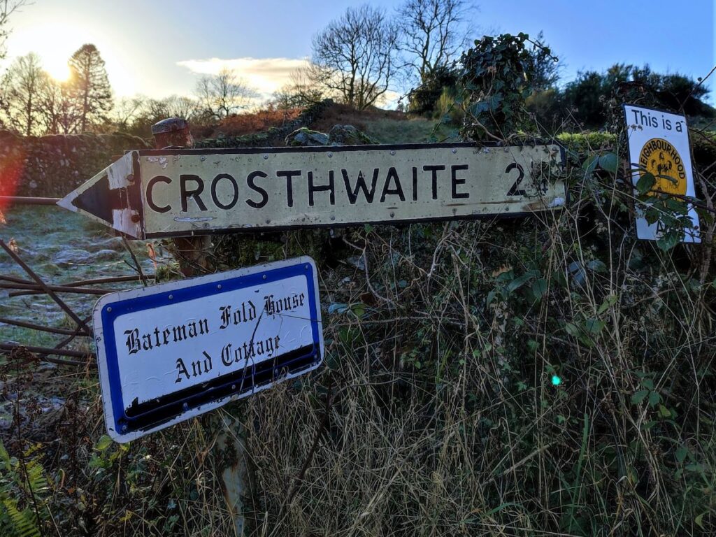
The path continues North, never far from the river until a stone bridge comes into view. We use the bridge to cross to the opposite side of the Gilpin and continue along a minor road for a short while until we arrive at a junction where we take a left, signed for Starnthwaite and Crook, between two buildings to head uphill in a North-easterly direction.
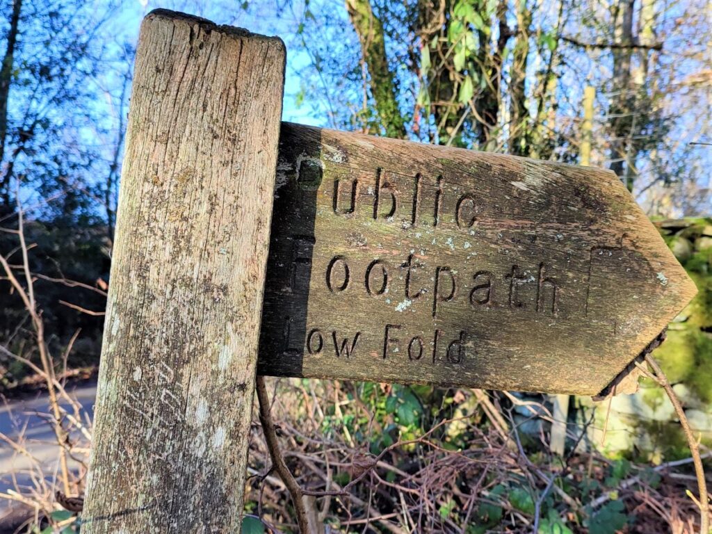
The road soon veers left, with a track continuing on – we take the track and follow it for a short while until we see a path signposted on our left for Low Fold.
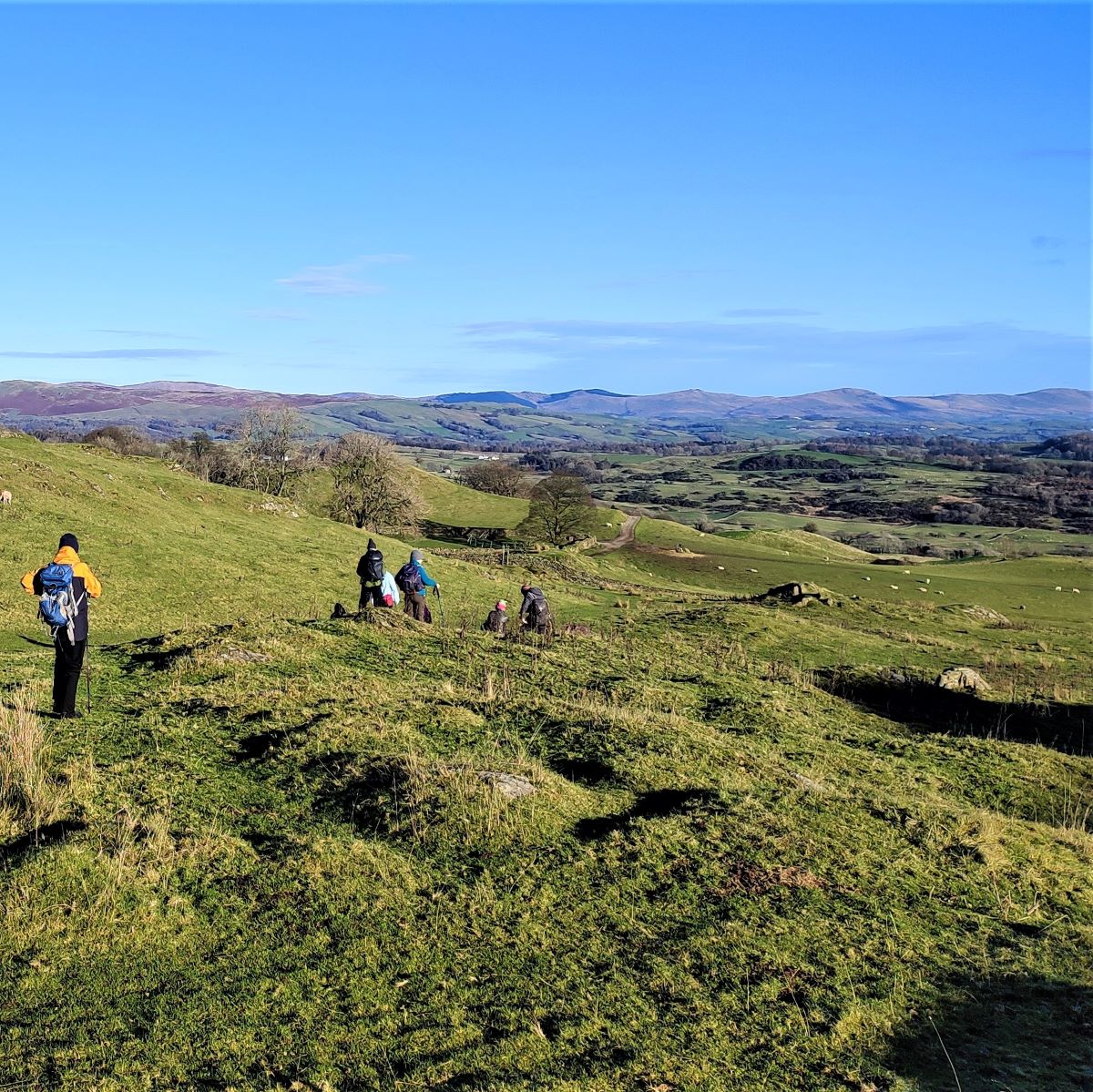
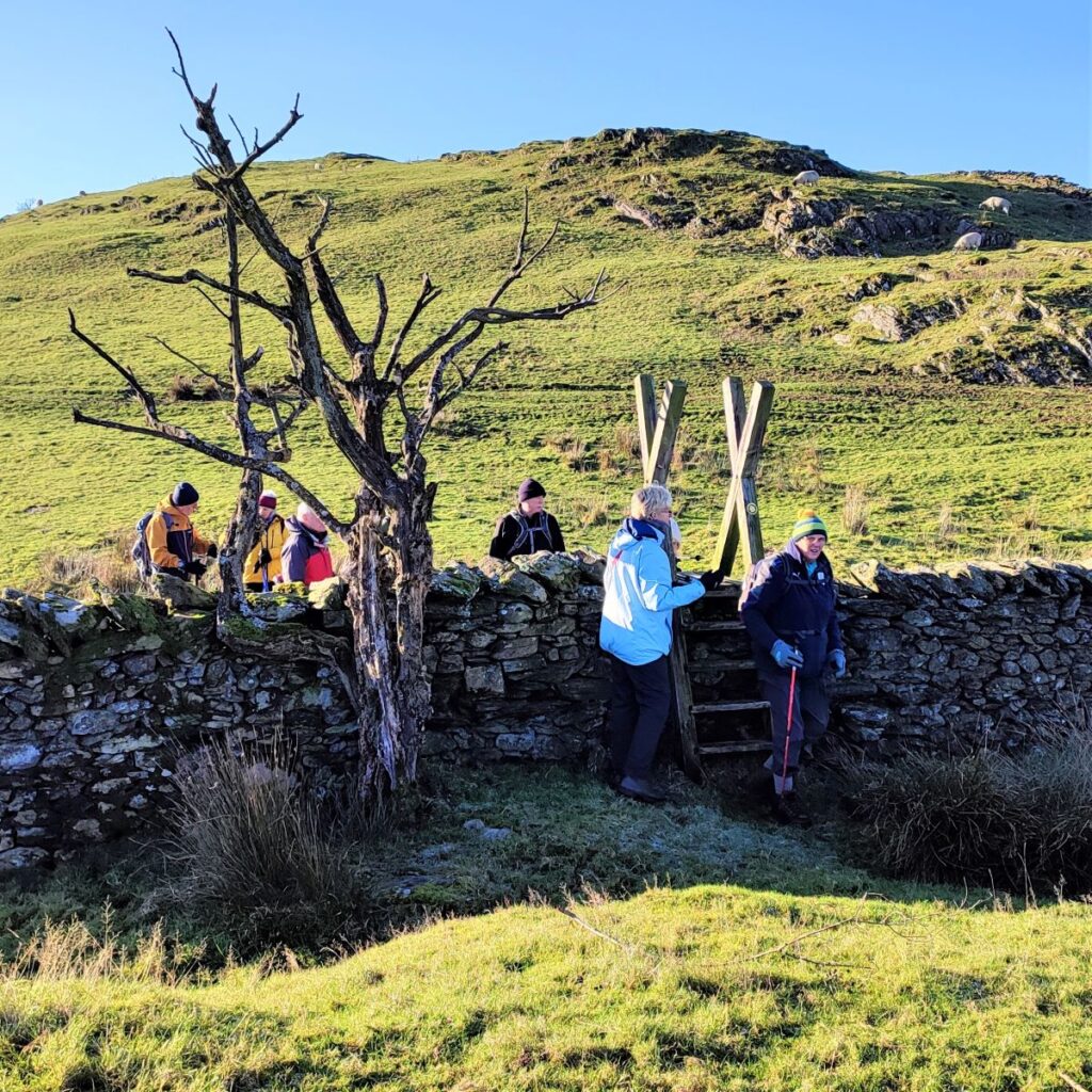
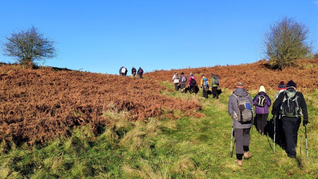
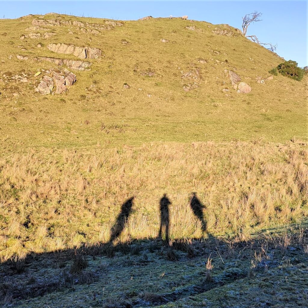
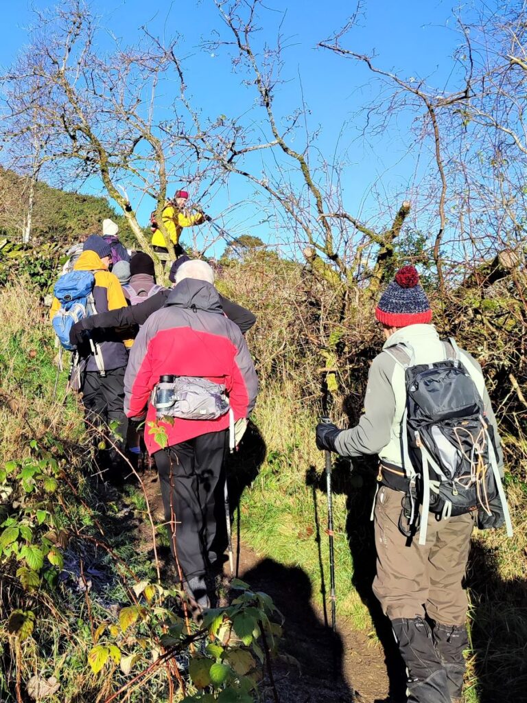
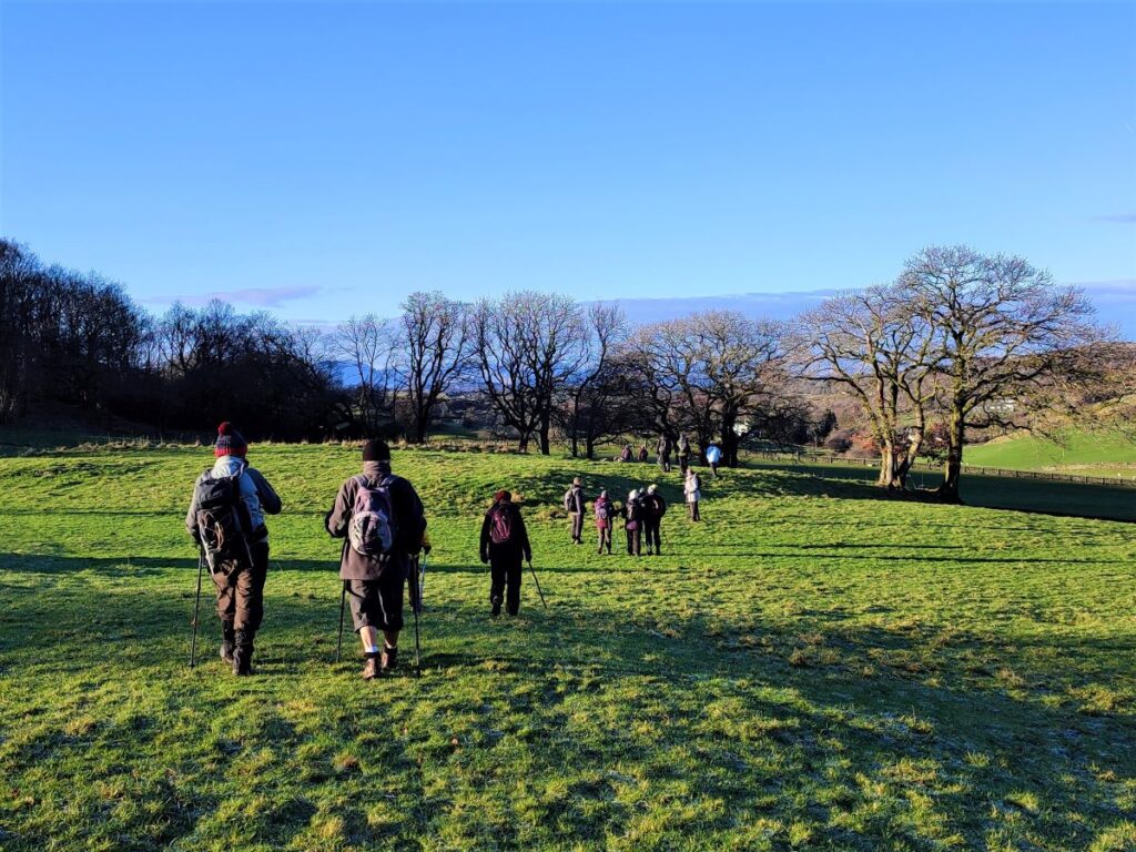
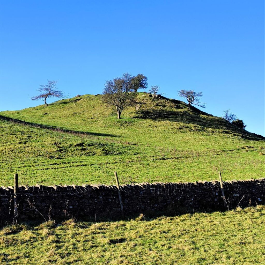
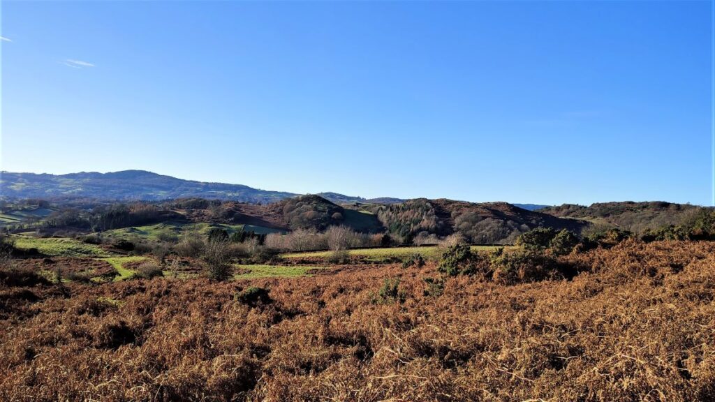
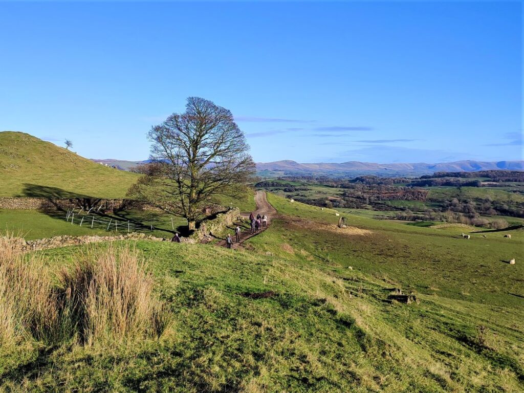
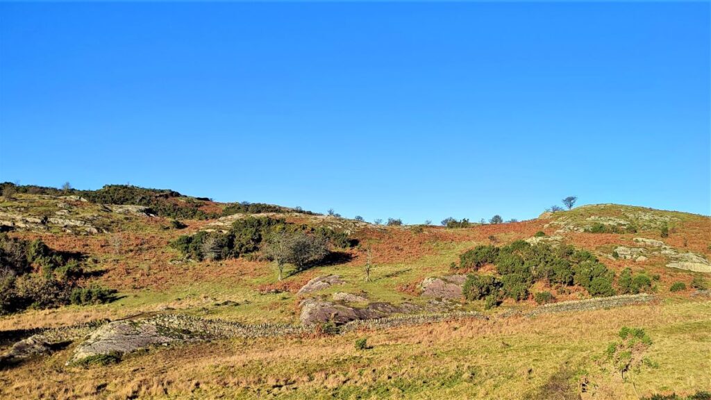
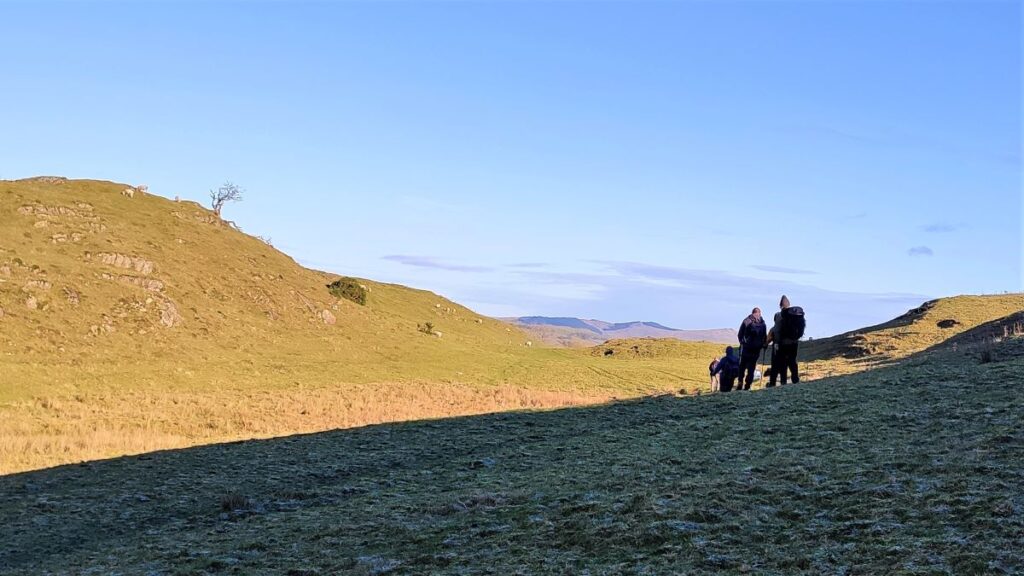
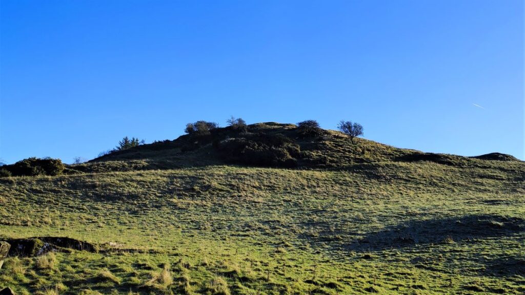
Ahead of us now is Lords Lot, and this is where the climbing begins. We head Consistently Northwest using narrow paths through dense bracken. The visibility of these paths may vary with season – they were clear on a sharp winter’s day, but in spring and summer new bracken growth may hide them, so be aware that the path heads just to the left of the peak at Lord’s Lot – in practice we are heading for the saddle between the peaks at Lord’s Lot on the right and Birkmoss on the left.
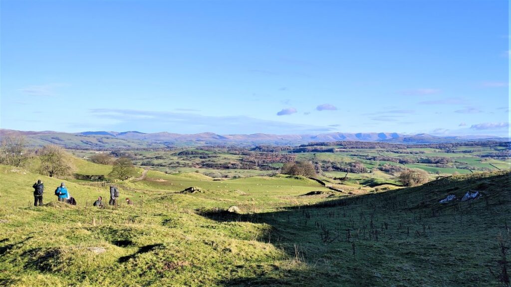
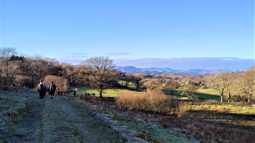
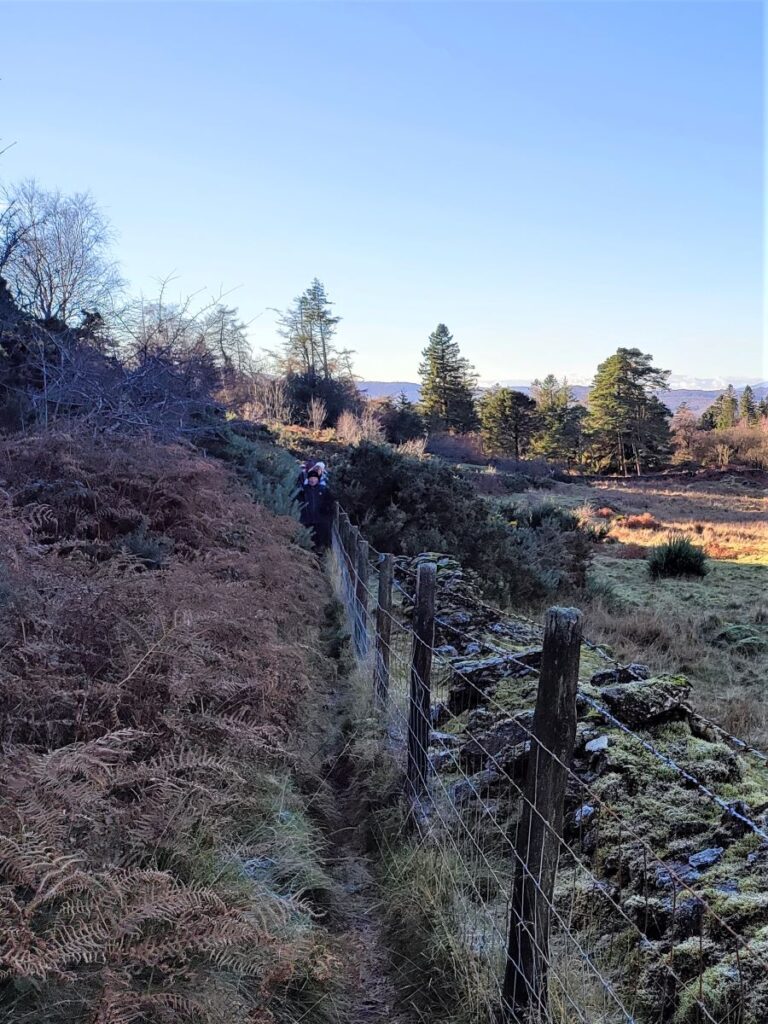
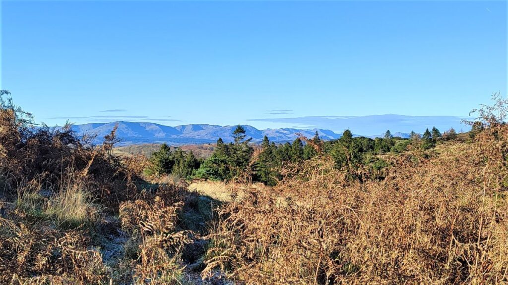
We soon find ourselves walking along a fence line – on the right of the fence as we head uphill. Care is needed here as the path is narrow and the fence is topped with barbed wire. As we progress along toward the top of Lord’s Lot, a view over to the Lakeland fells opens up on our left, and on a clear day the view is quite spectacular.
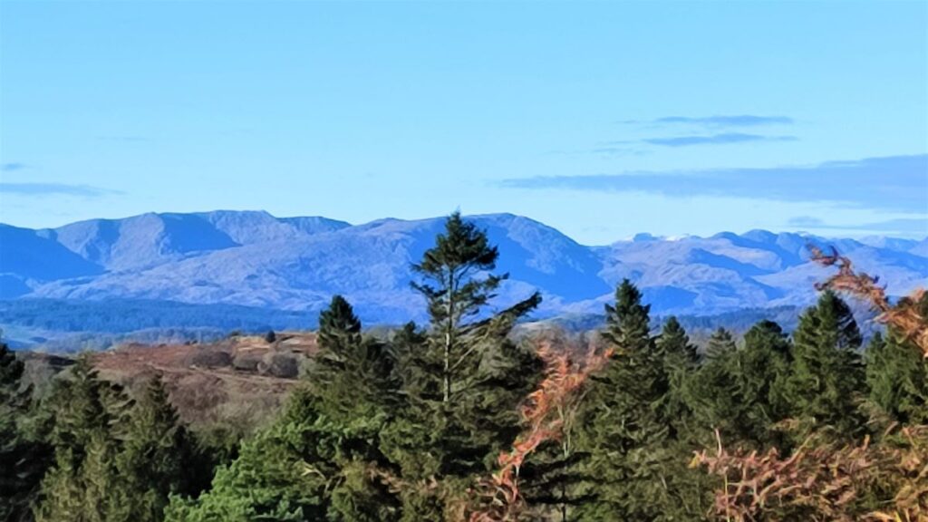
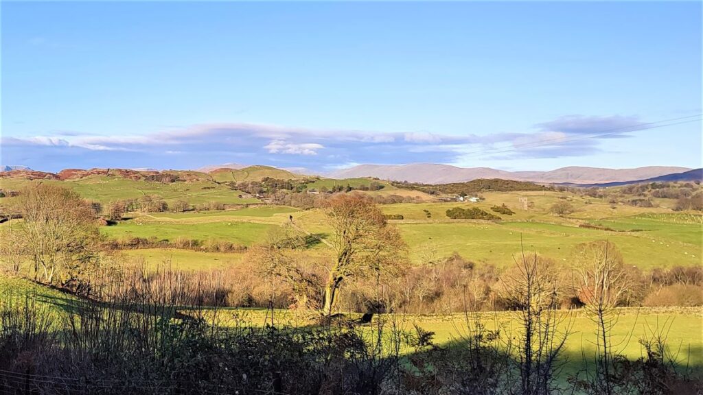
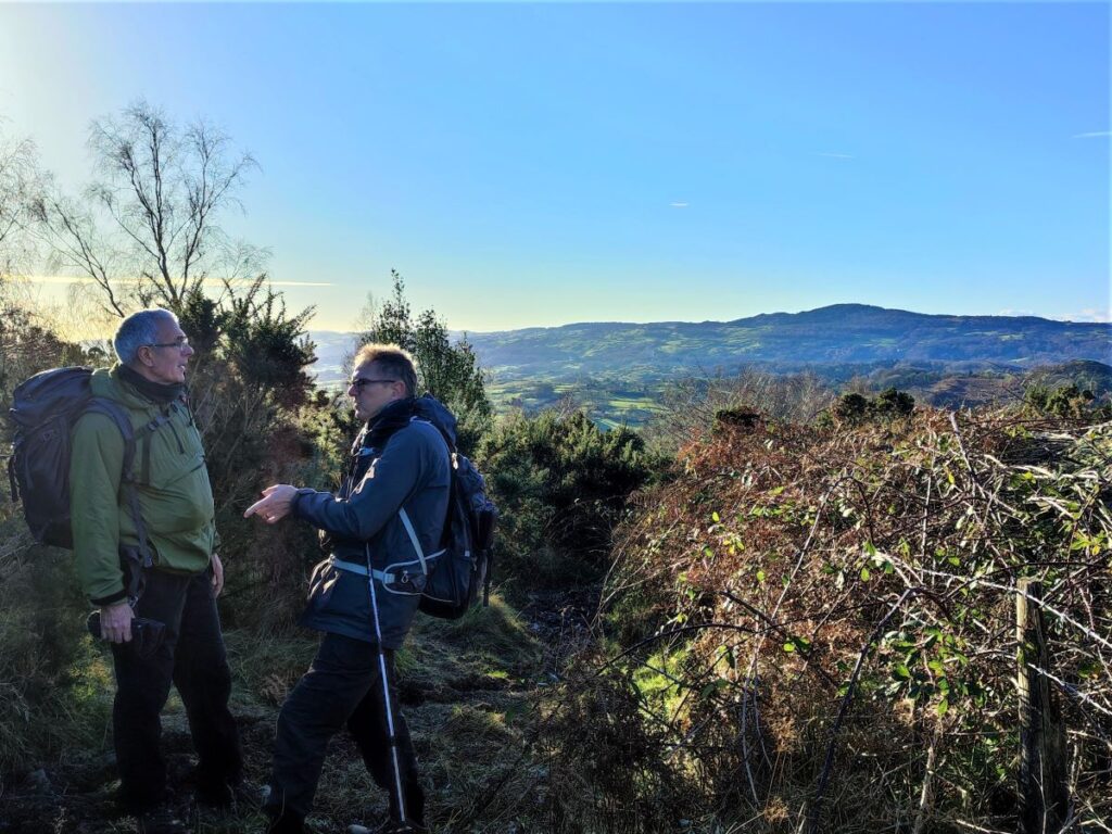
Almost immediately we are caught off guard by a new vista opening up ahead as we pass the high point: We now have a long distance view over Kendal and on toward the Howgills to enjoy.
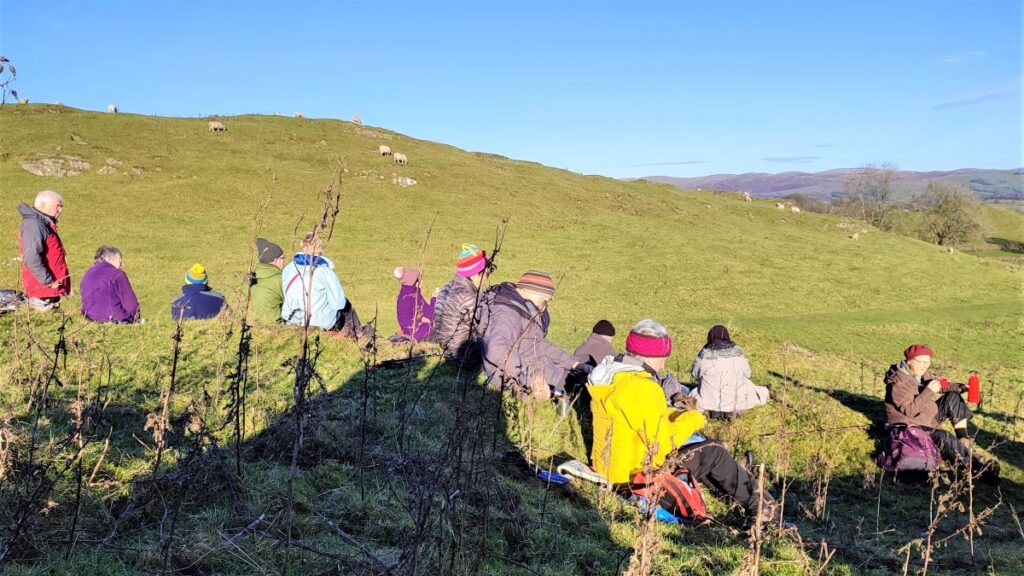
Given that this is the highest point on the walk and the view is so good, this might be a good place to stop for lunch.
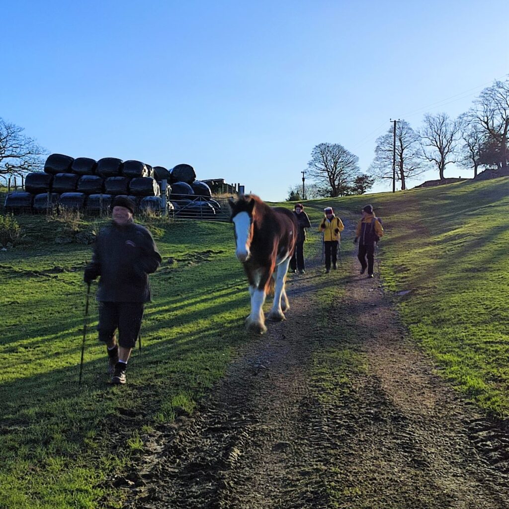
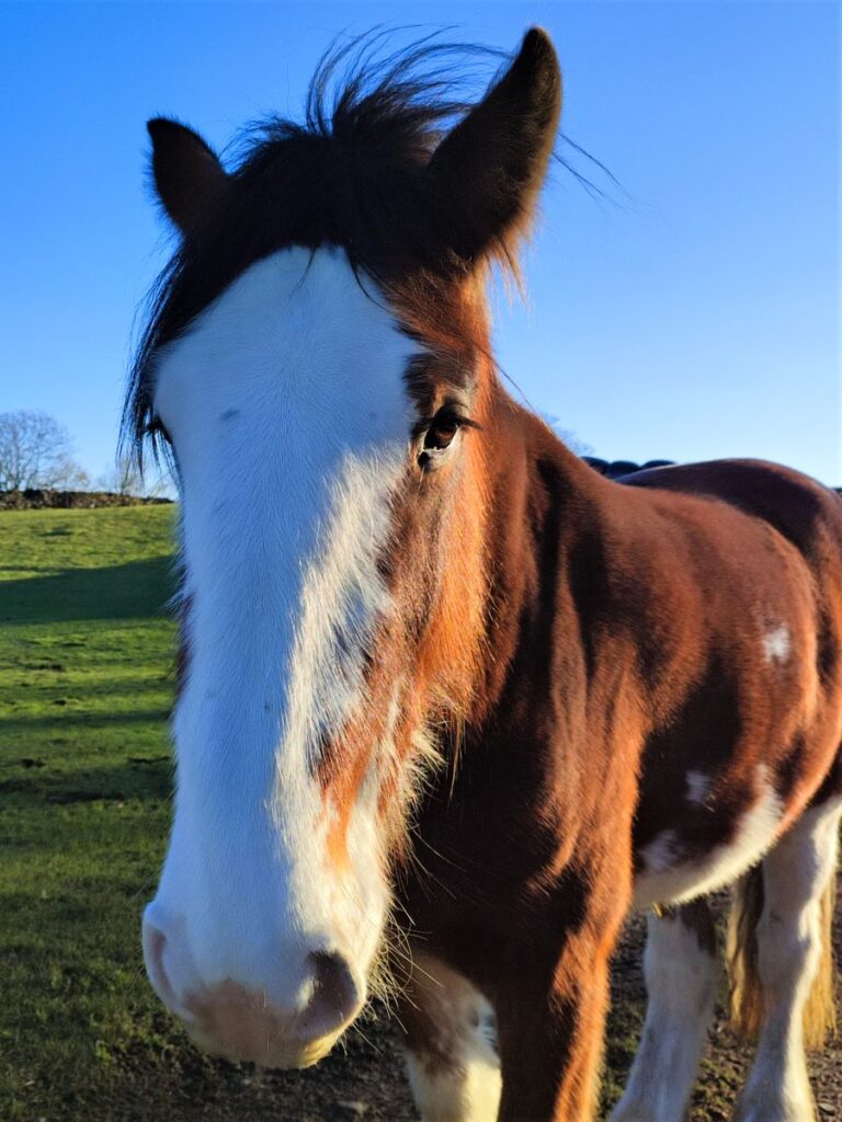
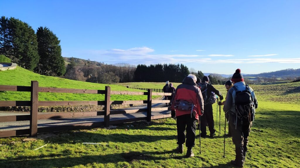
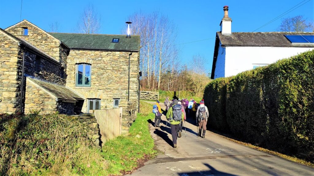
Ahead of us the path continues down to a clearly visible ladder stile which we cross to find a track which we follow right around the front of a farm. This soon meets another track which heads up to the farm and we take this route passing between the farm buildings at Low Fold, where an enormous but very friendly horse may well greet you.
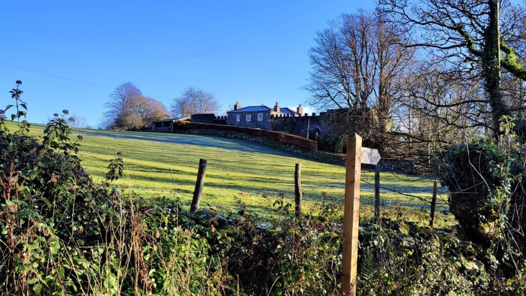
We follow this track for a while now – heading consistently North, until the track bears left to take a North westerly direction – at this point we can see a church tower nestling in the valley – this is all that remains of the old St Catherine’s Church – it was originally built as the manor chapel for Crook Hall and dates to 1620. A newer church still serves the village of Crook but is not quite visible from here.
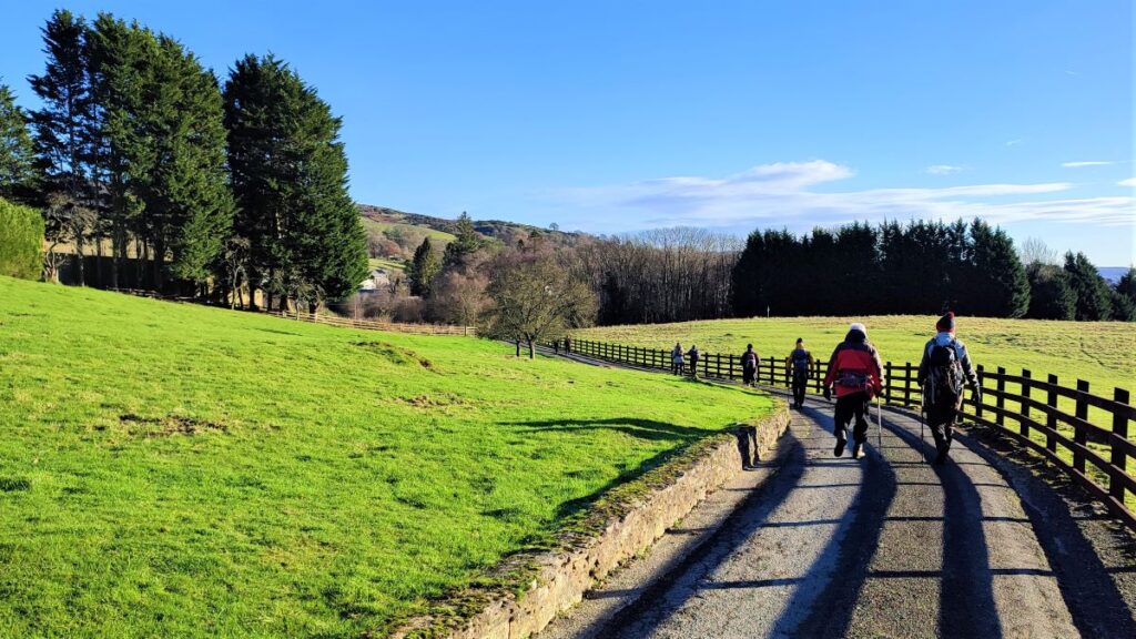
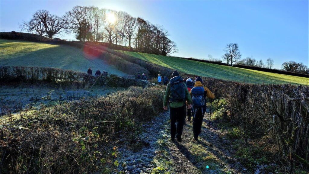
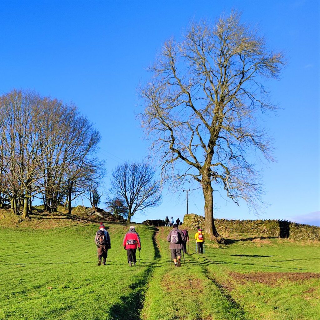
The track eventually fades away and we are left walking a generally clear path though fields in a north-westerly direction. If in doubt, simply head to clip the right hand side of the woodland you see ahead, and then follow the drystone wall to the left to pick up a small road heading northwest.
As we head down this road we see a T junction at the end with a white house ahead of us – this is Brow Head and when we arrive at the house, we take a right and follow the road downhill.
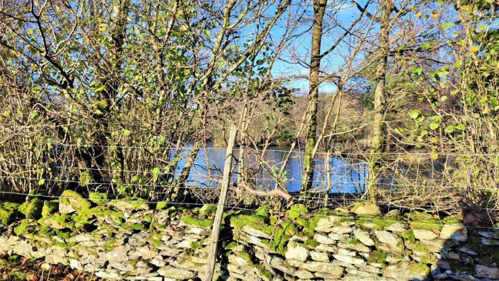
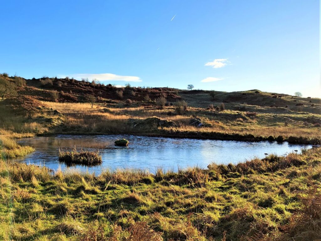
Almost immediately we see a signed path on the left which takes us along a track around the edge of a small tarn.
As we round the edge of the body of water (which is separated from us by a fence) we need to take care as the path forks. The route to the right heads north toward the Howe, but we take left and head away from the tarn toward Spigot House along a clear track.
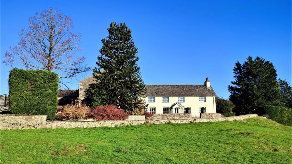
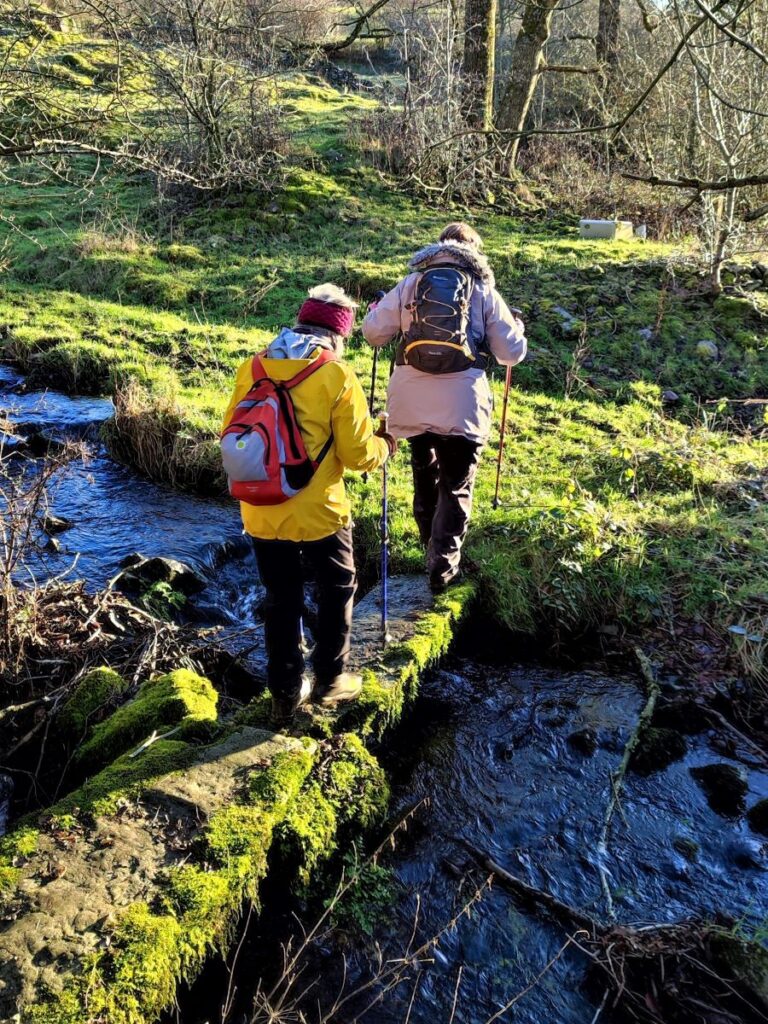
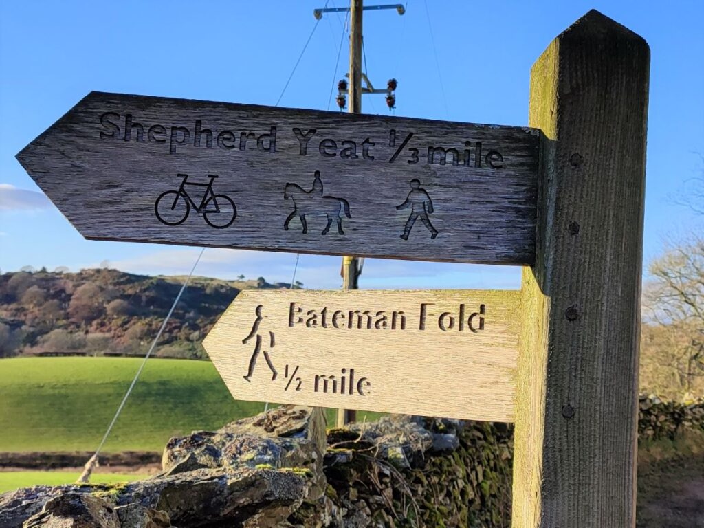
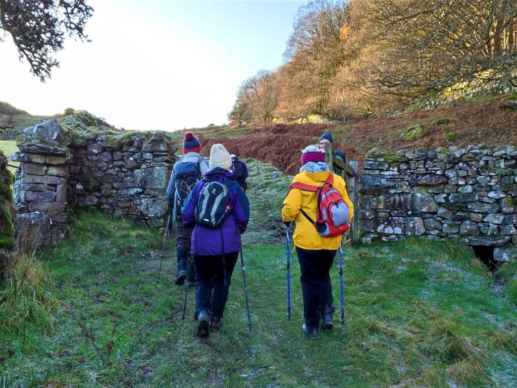
At Spigot House – with traditional round Cumbrian chimney stacks – look for a pair of paths leaving the lane on the left. We take the footpath signed as Bateman Fold. This heads down through a few fields until we arrive at a pair of small stone slab footbridges over streams. From here, we cross a stile into a very muddy field and then follow the wall slightly uphill.
The path now comes round to the left via a gate and heads across fields, which later become recognisable tracks as we head further South.
The track soon meets a minor road at a sharp corner, and we head right – in much the same direction as before.
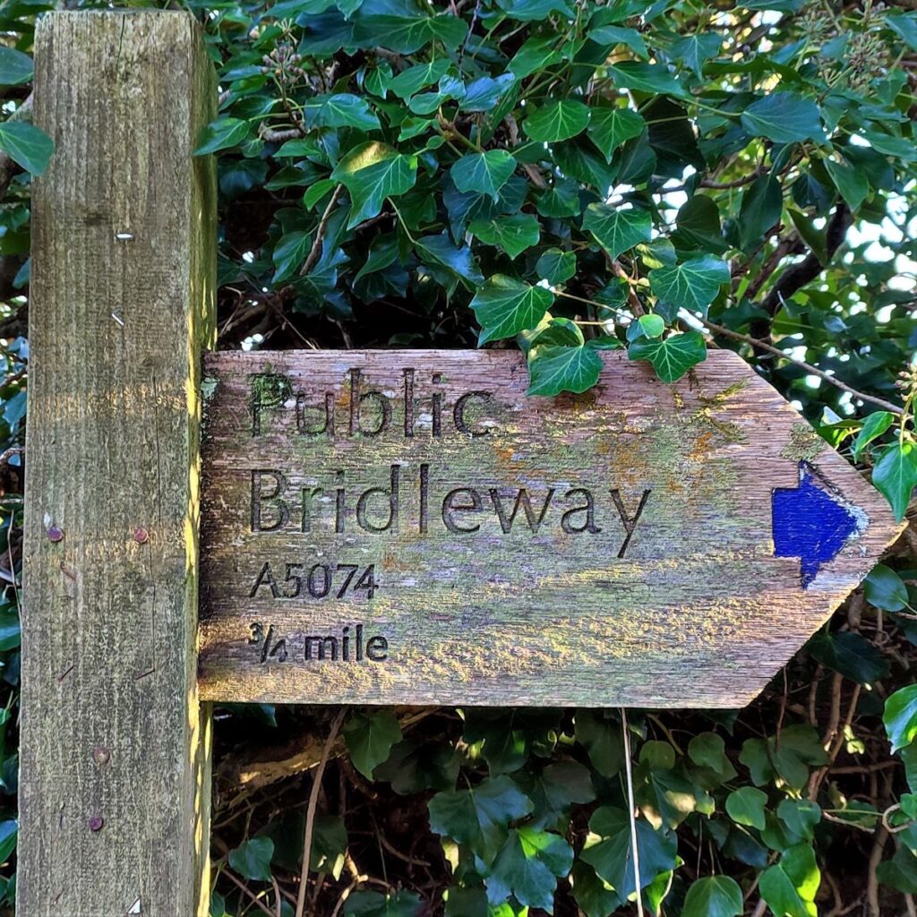
The road then takes a very sharp right turn and as it does, so we leave it to take a bridleway on the left back toward the A5074.
We are initially on a surfaced track but after a modern house we pass through a gate onto open fields.
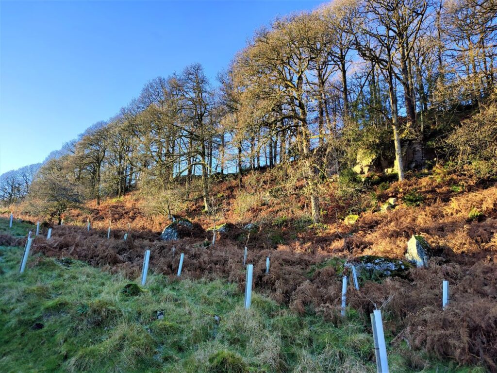
The bridleway remains clear and heads consistently southwest, passing a very attractive scar covered in dense woodland. This is Bow Mabble Breast, and we press on until we meet the main road.
At the A5074 we turn left, and head back a short distance to the layby where we started our walk.
Note that if you wish to avoid this last bit of road walking there is a track continuing on the far side of the main road which heads down toward Bryan House Farm. If you take this head left just before the farm to pick up a path which comes back up to the road just about at our starting point. Note that this is not covered in the GPX download.Total distance