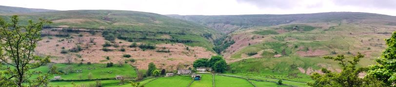
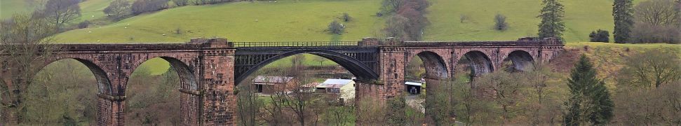
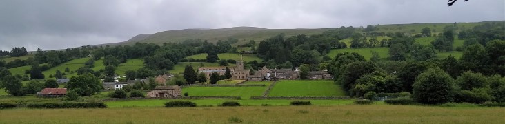
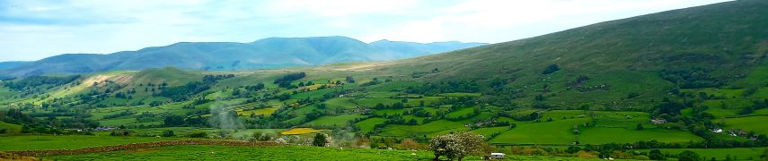
Dales Way

Dentdale

5.6 miles | 9.1 km | 302 m Ascent | 7.1 Naismith miles | Rick Clapham
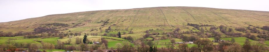
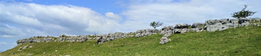
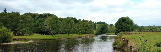
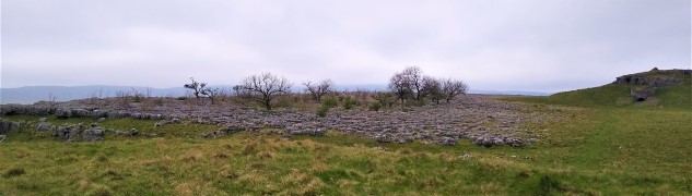
Dentdale is one of the more popular gems of the Yorkshire Dales, and so not surprisingly, Bentham Footpath Group visit regularly. Every time we come here there is something different to see, and this time we start from the Church Bridge and take a riverside path downstream for a short distance before coming back to the centre of the village via the picnic area. We then head up the enchanting Flintergill, visiting an open air museum and enjoying a viewpoint, before climbing to the Occupation Road overlooked by the Megger Stones.
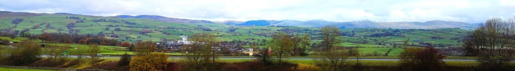
After following the Occupation Road for about a mile we head back downhill along a green lane to High Nun House, then cross the minor road and head down to Deepdale Beck which we follow downstream back to the Dee, which we then follow back to our starting point.

Dentdale Read More »

Buckden to Yockenthwaite

8.3miles | 13.3 km | 262 m Ascent | 9.6 Naismith miles | Sandra Craggs
In February 2024, Bentham Footpath Group visited Kettlewell and walked up to Starbotton – where we crossed the river Wharfe. It occurred to us at the time that just a few miles further upstream was Buckden, another great starting point for walks in the Upper Wharfe valley. So, this time we drive just a little further and base ourselves at the convenient Yorkshire Dales National Park car park in the village and head out on the Pennine Journey path through Rakes Wood, along Buckden Rake, and on to Cray High Bridge where we enjoy the waterfalls. From there we head to the opposite side of the valley and walk down to Cray where we pick up a path that contours around the steep sides of Langstrothdale Chase above Hubberholme before falling to Yockenthwaite.
We then head back down the riverside path, now on the Dales Way, and soon arrive at Hubberholme and its beautiful church before finishing with a gentle stroll back to Buckden. As well as waterfalls, this walk offers great views, limestone pavements, ancient woodlands, and locations that you may well recognise from the TV series “All Creatures Great and Small”. Why do we start with a picture of a mouse? . . . read on.

Buckden to Yockenthwaite Read More »

Dentdale circular

5.7 miles | 9.2 km | 248 m Ascent | 6.9 Naismith miles | Peter Lennard
We start by Church Bridge, and then loop up onto the fell at South Lord’s Land before walking behind the village, with great views across the valley, and then over to Gawthrop, before crossing meadows to get to Barth Bridge. From there we pick up the Dales Highway long distance path and follow it up to Lunds where we walk on an ancient green lane for a while. We soon head right and onto North Lord’s Land looking across the valley with views of where we walked in the morning. Finally, we return to Barth Bridge via High Barth and then take a very quiet road walk on the North of the Dee before one more section through fields back to Church Bridge.

Dentdale circular Read More »

Rather Heath and Burneside

8.8 miles | 14.1km | 212 m Ascent | 9.8 Naismith miles |David & Sheila Longton
The Bentham Footpath Group have completed a number of great walks in and around Kendal – search on the website for Staveley, Levens or the Lancaster Canal to see some of them. This walk adds to that library and because it intersects with earlier offerings, creates a great opportunity to build our mental map of the area.
We start from a layby on the “old road” – once the main route from Kendal to Windermere – and then walk through woodland on Rather Heath passing the edge of Ratherheath Tarn before striking out to Plumgarths where we visit the Cumbria Wildlife Trust’s gardens. We then head parallel to the A591 before crossing onto Kendal Fell at Helsfell Nab. Unusually for a BFG walk, we then go into the outskirts of a town (Kendal), for lunch in the park, before we head out to Burneside. We have a good look at the Church and the paper mills before heading upstream along the Kent to Bowston on a section of the Dales Way. A final section over the railway, then under the main road brings us back to our starting point.

Rather Heath and Burneside Read More »

Yarnbury Lead Mines and Mossdale

9.9miles | 16.0 km | 333 m Ascent | 11.6 Naismith miles | Sandra Craggs
This walk can be considered to connect with at least two other Bentham Footpath Group walks: It physically shares part of the route of our Copplestone Gate and Conistone Pie walk, and although in a different part of the Yorkshire Dales, it shares much of the industrial heritage of the Gunnerside and Old Gang Smelt Mill walk.
The first half of the walk heads across Downs Pasture to the top of the Dib at Conistone, with great views of the Wharfe Valley and as far South as Pendle Hill. From there we head up the Bycliffe Road to Kelber Gate and then on to Mossdale Scar. The return journey takes us over Grassington Moor and through increasingly bleak, but strangely beautiful lead mining spoils back to the mines at Yarnbury where we spend a while exploring the remnants of this once vast industry.
We rate this walk as Challenging mainly because it’s quite long. There are no particularly steep climbs and there are options to shorten the route if needed.

Yarnbury Lead Mines and Mossdale Read More »

Sedbergh Riverside and the Lune Viaduct

6.3 miles | 10.1 km | 248 m Ascent | 7.5 Naismith miles | Peter Lennard
The Dent Foot walk that we completed on 17/03/23, connected with two of the three rivers in and around Sedbergh – the Rawthey and the Dee. This walk completes the set by adding the Lune.
We start by heading out onto the fells at the base of Winder, with great views over to the Lune Valley and the disused railway viaduct. We then cross farmland to pick up the Dales Way and have a close look at the spectacular viaduct.
From there we follow the Lune downstream before cutting back to Ingmire Hall. Next, we head down to the beautiful Friends Meeting House at Brigflatts, and finish by following the Rawthey upstream back to Sedbergh. The walk is classified as easy – althtough there is a bit of a climb at the start.

Sedbergh Riverside and the Lune Viaduct Read More »

Dent

8.0 miles | 12.9 km | 466 m Ascent | 10.3 Naismith miles | Rick Clapham
Dentdale and Dent Village are stunningly beautiful, but perhaps because the roads into them are all minor, they tend to be less crowded than we might expect – a good thing in our books.
This walk combines the flat tranquil meadows along the Dee with a stroll through the village and up Flintergill where we take the ancient Green Lane known as the Occupation Road, enjoying long distance views down Barbondale, and over to the Howgills.
At the end of the Occupation Road, we turn right toward Gawthrop, and then loop round Stone Rigg, now with views up Dentdale, before following a path down to Dillicar where the Dales Way leads back to our start.

Dent Read More »

Barden reservoirs

11.4 miles | 18.3 km | 469 m Ascent | 13.7 Naismith miles | David Longton
In the summer months, the light allows for walks that are longer, more challenging and which start from points that are farther from sunny Bentham.
This is the case for this varied walk in Wharfedale that covers rough moorland and a pleasant riverside view, with industrial and medieval heritage and wildlife.

Barden reservoirs Read More »

Copplestone Gate and Conistone Pie

7.3 miles | 11.8 km | 437 m Ascent | 9.5 Naismith miles | Mary & Kate Taylor
Wharfedale is an exceptionally beautiful part of the world, and this walk from Conistone shows us the best of it. The first part of the walk involves some hard walking up the Dib – a steep gorge.
We then take the Bycliffe road up as far as the Conistone Turf Road where we head onto Conistone Moor and Copplestone Gate.
We then head downhill to find the Dales Way again and follow this back to Conistone Pie before returning to Conistone village via Scot Gate Lane.
The modest distance means that this is classed as an easy walk, but the clambering up the Dib means that you need to be fit and appropriately clothed / booted.

Copplestone Gate and Conistone Pie Read More »