Jump to . . .Step by Step | OS Map | Downloads | Gallery | Fly through
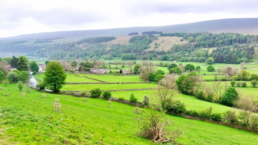
In February 2024, Bentham Footpath Group visited Kettlewell and walked up to Starbotton – where we crossed the river Wharfe. It occurred to us at the time that just a few miles further upstream was Buckden, another great starting point for walks in the Upper Wharfe valley. So, this time we drive just a little further and base ourselves at the convenient Yorkshire Dales National Park car park in the village and head out on the Pennine Journey path through Rakes Wood, along Buckden Rake, and on to Cray High Bridge where we enjoy the waterfalls. From there we head to the opposite side of the valley and walk down to Cray where we pick up a path that contours around the steep sides of Langstrothdale Chase above Hubberholme before falling to Yockenthwaite.
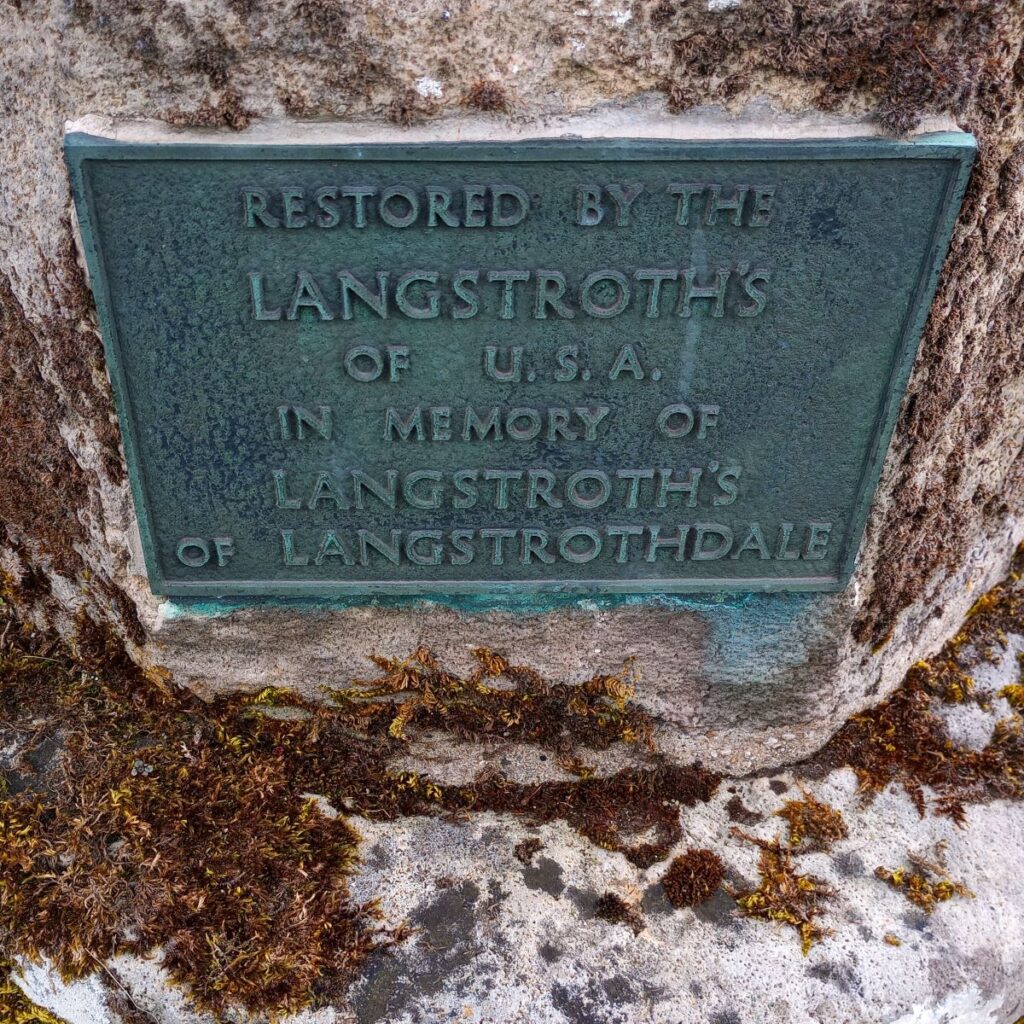
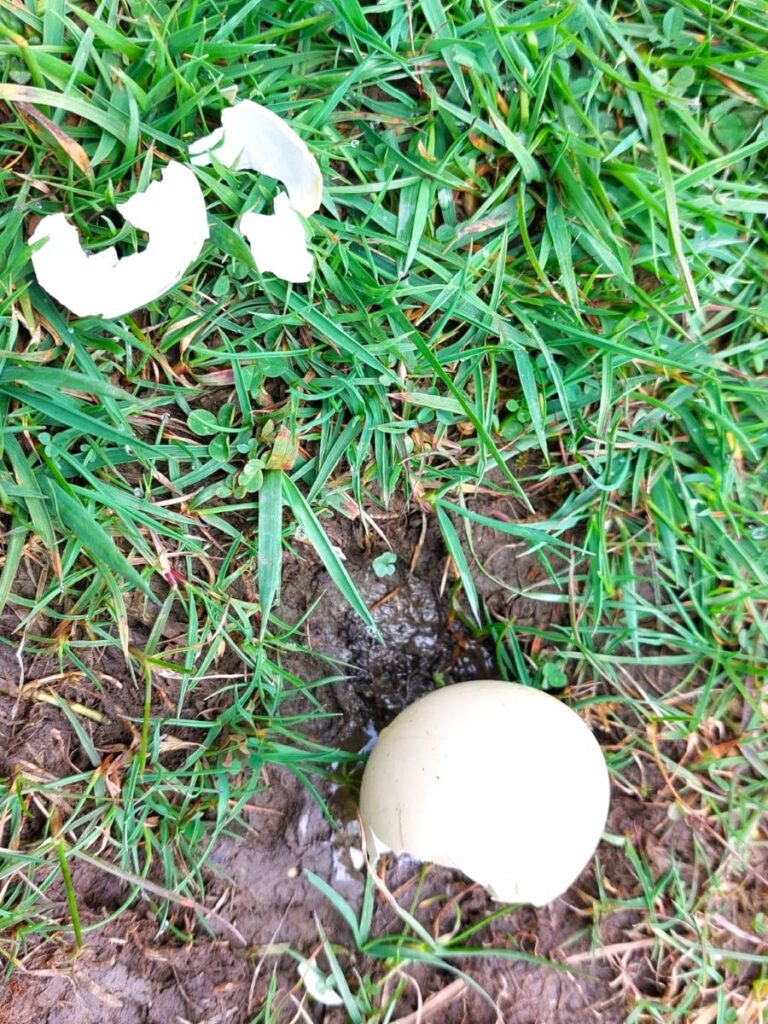
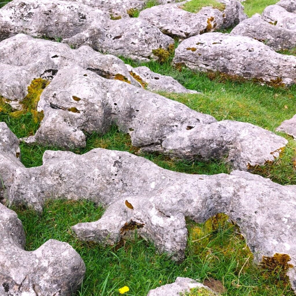
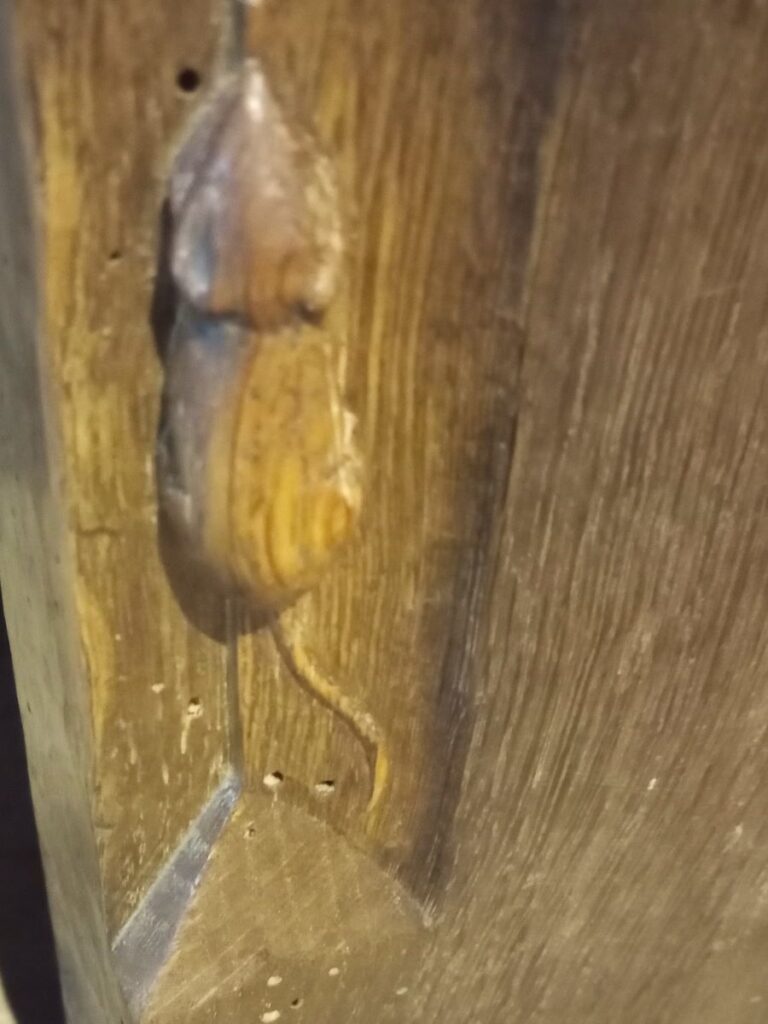
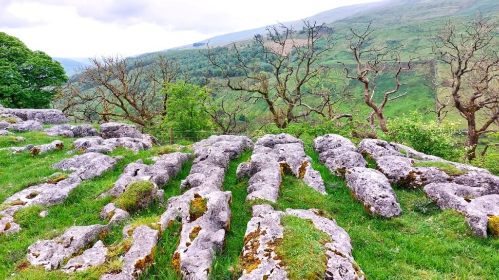
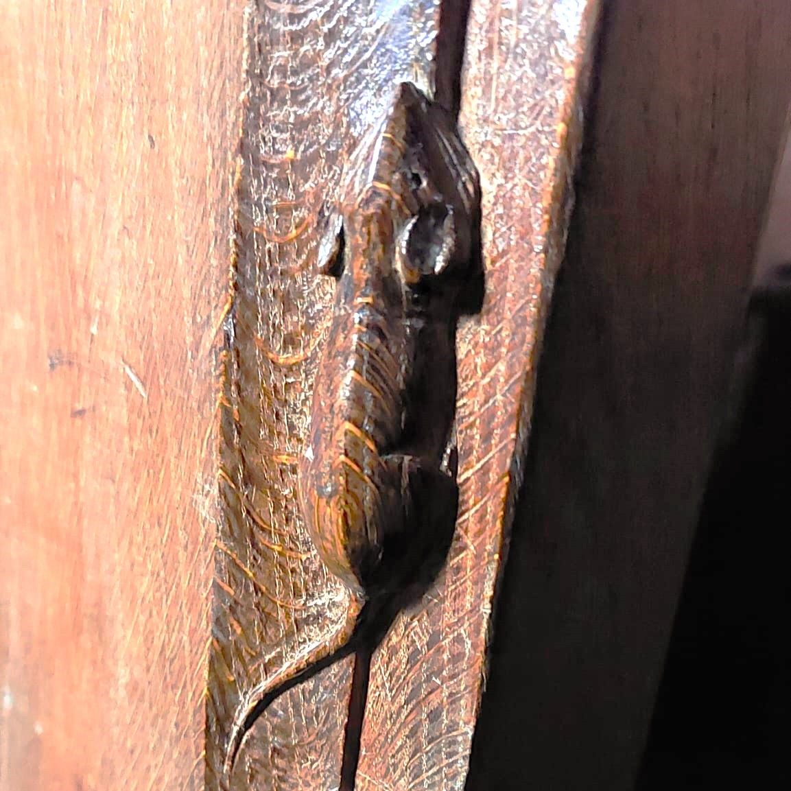
We then head back down the riverside path, now on the Dales Way, and soon arrive at Hubberholme and its beautiful church before finishing with a gentle stroll back to Buckden. As well as waterfalls, this walk offers great views, limestone pavements, ancient woodlands, and locations that you may well recognise from the TV series “All Creatures Great and Small”. Why do we start with a picture of a mouse? . . . read on.
- Total distance 13.3 km (8.3 miles)
- Total Ascent 262 m
- Moderate walk
Step-by-Step

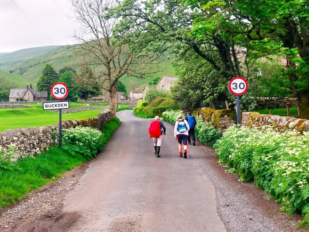
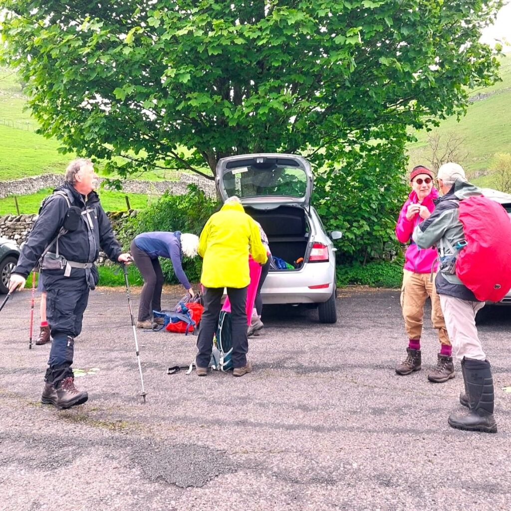
We start from the Yorkshire Dales National Park car park in the centre of Buckden, this is clearly signposted from the B6106. If you are using a paper map to get to Buckden, the OS Grid reference is SD94127740, whilst satnav users will find the address Buckden Wood Lane BD23 5JA works well. If What-3-Words is your tool of choice, then the tag is bonnet.samplers.lentil
Parking is chargeable but is reasonably priced and offers toilet facilities – please do not park roadside in the village and create obstructions. We visited midweek, out of season and found plenty of spaces, but you should be aware that this is a popular “honeypot” village so if you are planning this walk during a summer weekend, an early arrival might be wise.
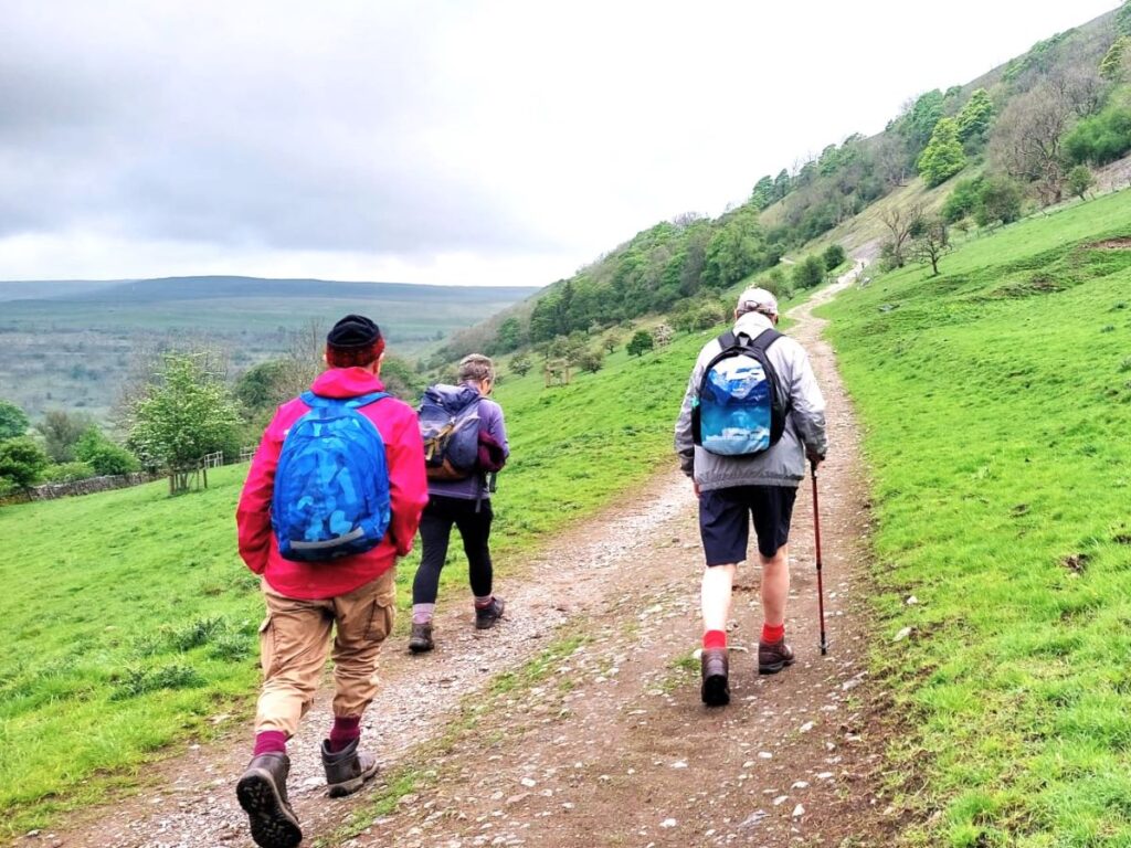
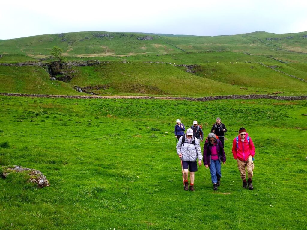
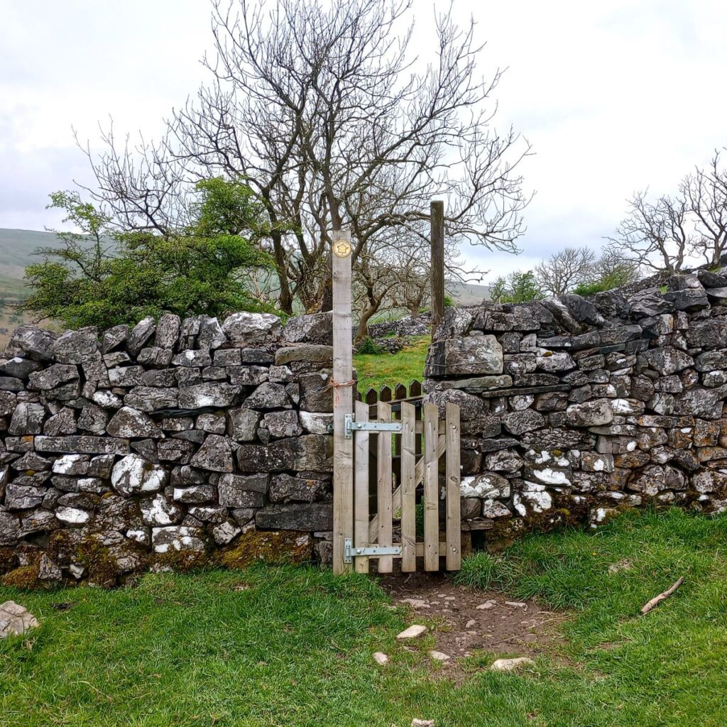
From the car park, we start out by heading toward a wooden gate at the top end of the car park – our direction of travel here is to the north, and we are heading away from the village centre on the Pennine Journey path. This is the main route up to Buckden Pike – a popular destination that is not part of our route today, so don’t be surprised if the path is busy to start with – once we leave the path up to the Pike, things will get much quieter. To read more about Buckden click here or here
As the path rises, we enter woodland – this is Rakes Wood, and we walk within that woodland for about 400m, gradually gaining height and distance from the road below, before the track bears right to head northeast.
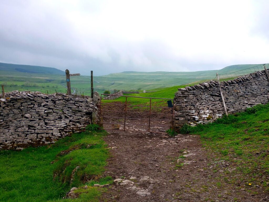
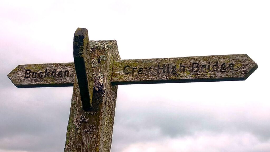
After crossing a field, we meet a fingerpost indicating the steep route up to Buckden Pike. This is a great walk, but not our destination today so we continue on the flatter path heading toward Cray High Bridge.
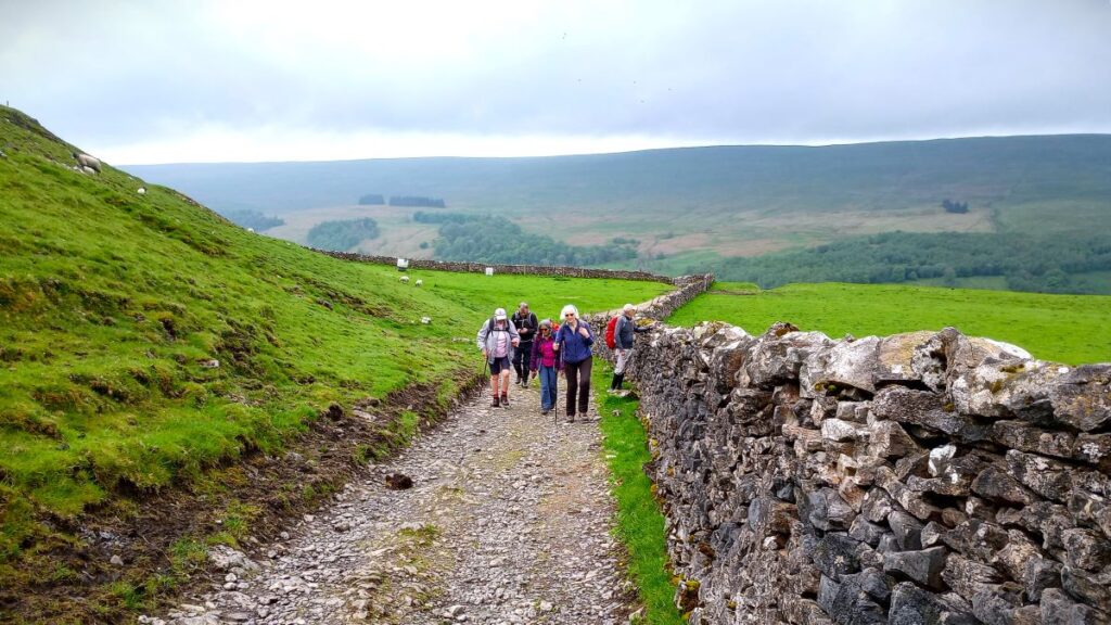
After this we head through a series of fields – generally speaking we are walking along the contours and need to keep the drystone wall on our left as we follow a clear and obvious path.

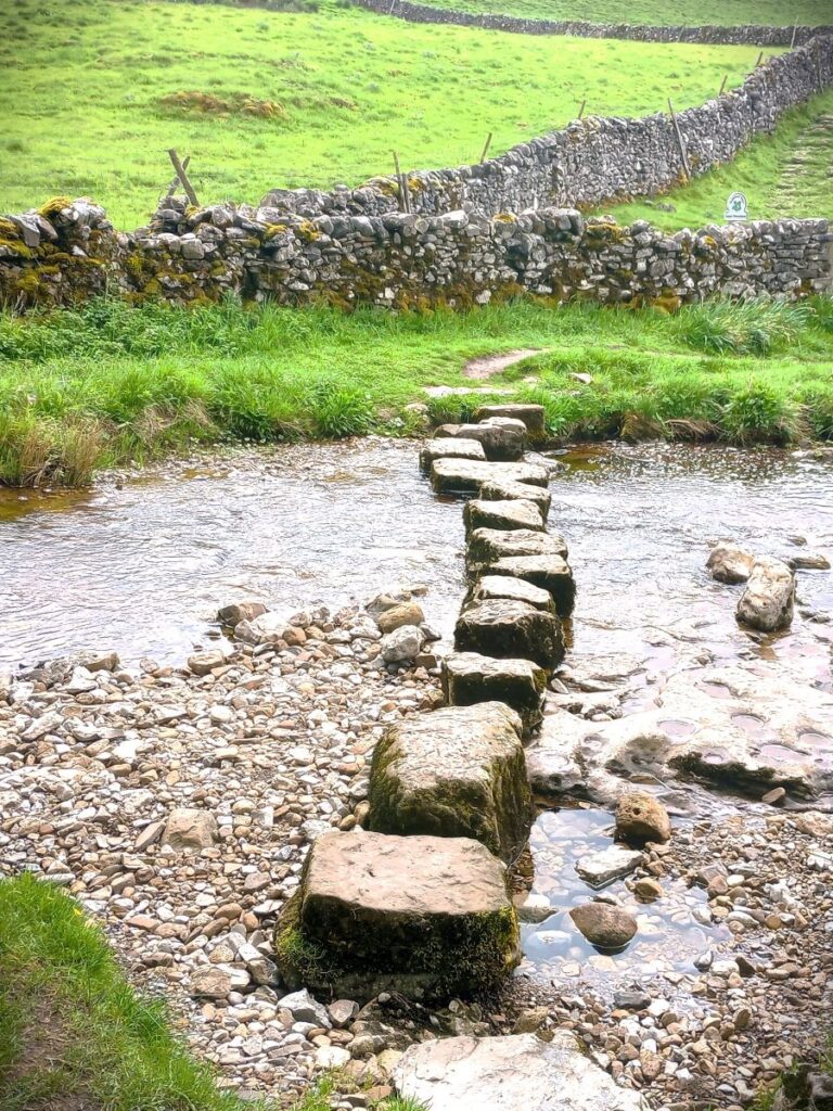
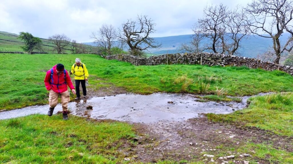
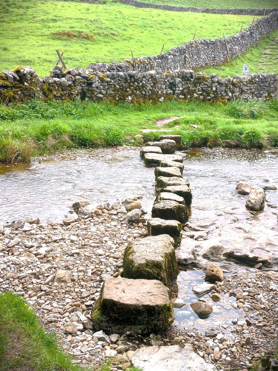
400m or so after the fingerpost shown above, we meet a second which offers us a route down to Cray. Given that we go through Cray later in the walk this is a viable shortcut should you need to save time or shorten the route for any reason. If you do take the path downhill on the left to Cray though, you need to be aware that it crosses the Cray Gill at a set of stepping stones, and that when the beck is in spate these are not safe. You will also miss the waterfalls further up the valley which we think are well worth seeing.
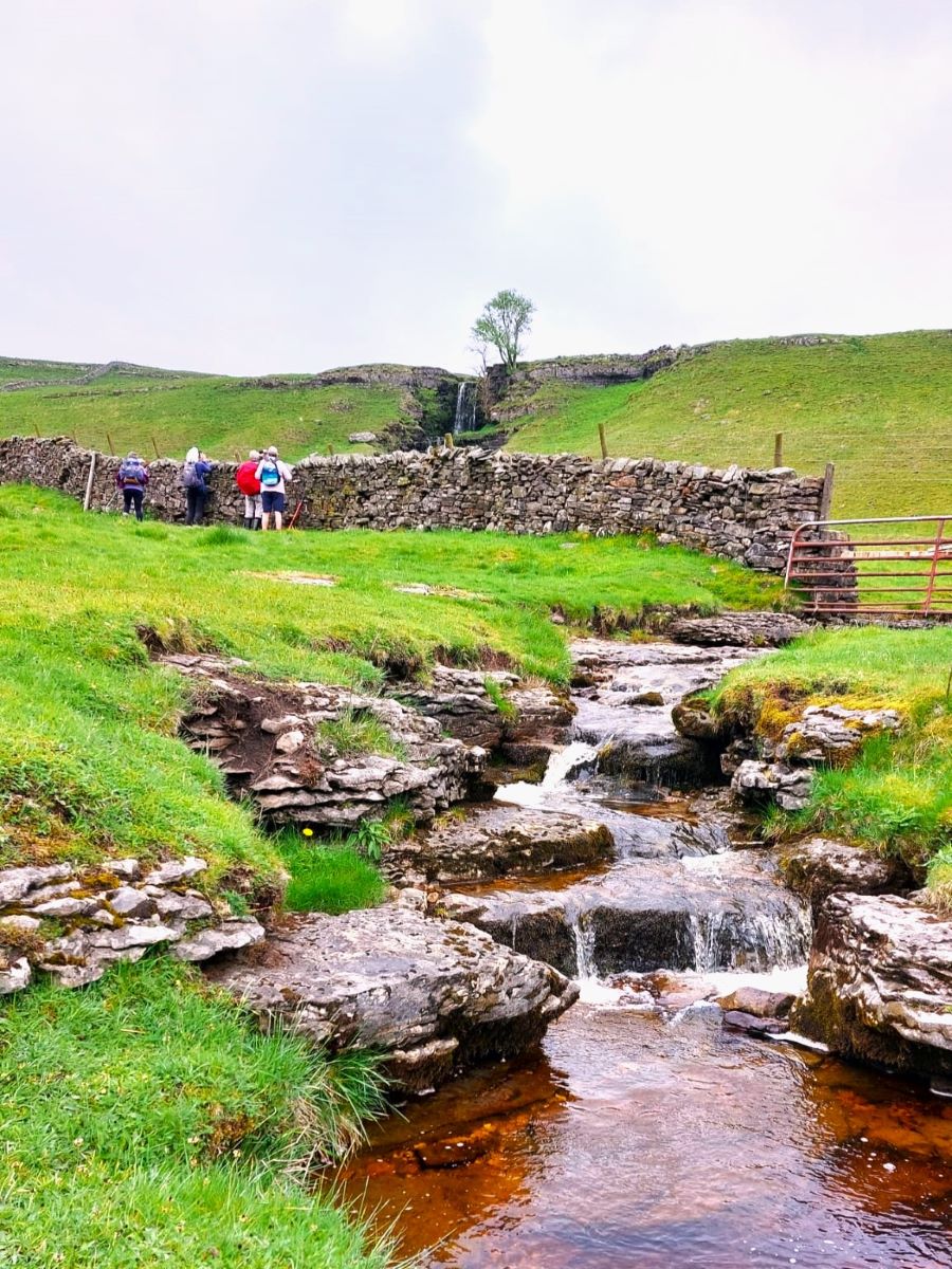
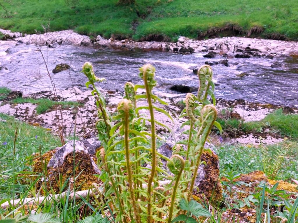
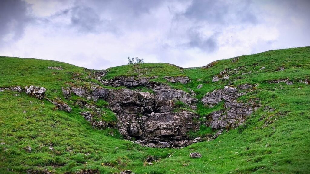
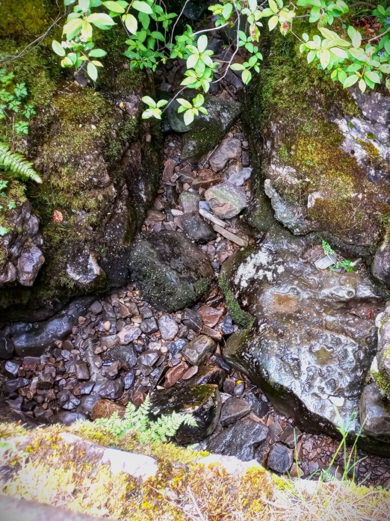
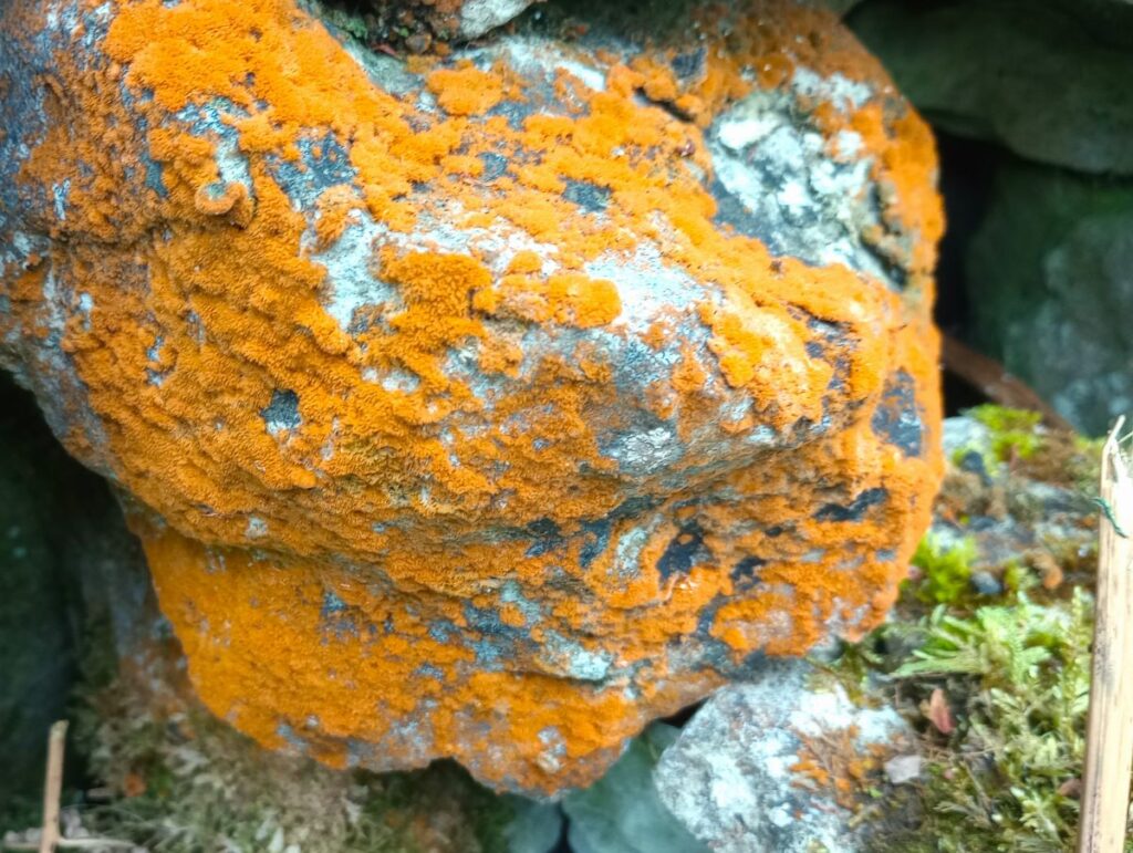
So, we continue north through three more field boundaries, and after 250m, we see the waterfalls to our right where Cow Close Gill tumbles down from the fells. The falls are not next to the right of way, but you can the official right of way for a short while and wander further north to get a good view before returning to the path. We noticed whilst in this area that works for new fencing are in progress, so whether this option will remain useable is a moot point. If this viewpoint is made inaccessible, then we have an alternative . . .
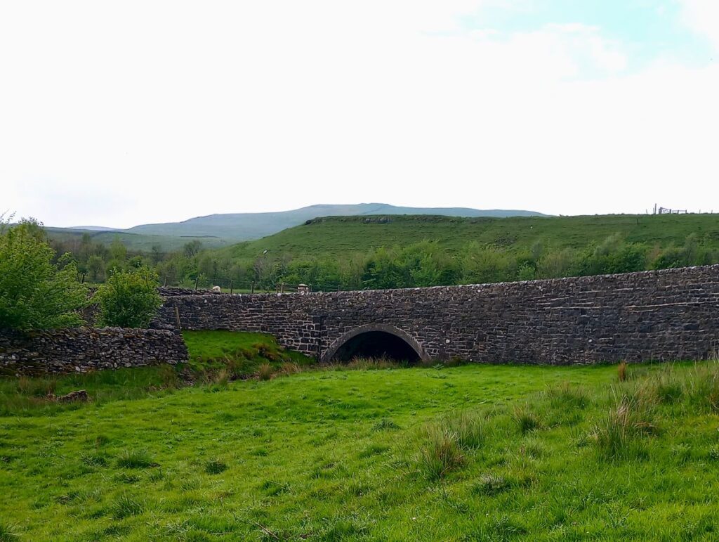
Back at the main path (still The Pennine Journey) we see a clear and obvious route toward a road crossing over top end of Cray Gill. This is Cray High Bridge, and the path joins the road at the right hand side of the bridge. Here we have a second opportunity to see the falls in Cow Close Gill over the drystone wall over to our right as we head toward the bridge.
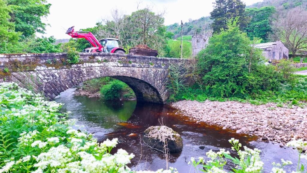
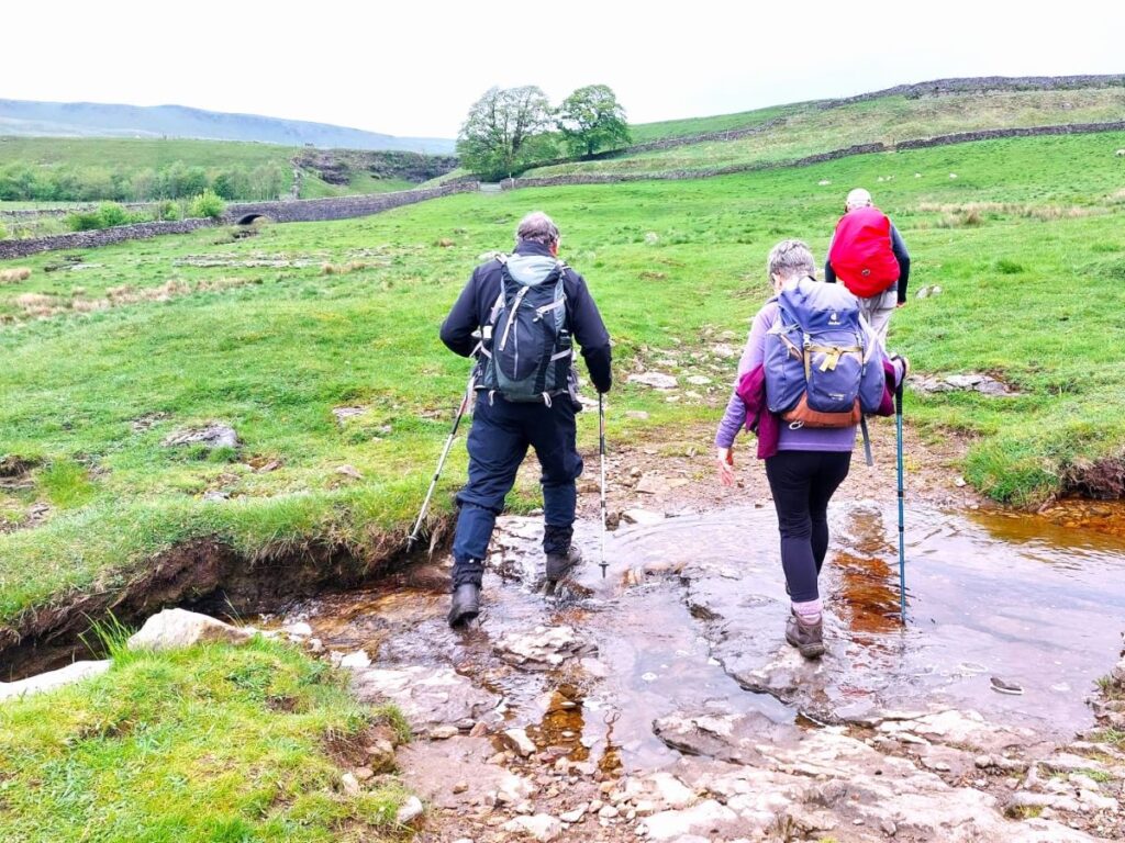
We now head up to the road and turn left to walk over the bridge and then downhill toward Cray. Regrettably there is no alternative to road walking for the next 300m as we walk down Park Lane with Cray Gill to our left more audible than visible. This is not a busy road – but as ever, take additional care.
We soon see a pub on the right hand side of the road – this was the White Lion, now regrettably closed. Opposite the pub are the stepping stones that you will have used if you took the short cut. On a dry mid-May morning they look very inviting, but don’t expect them to be so accessible after heavy rain.

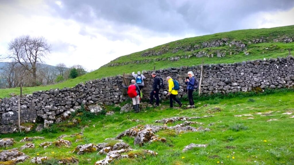
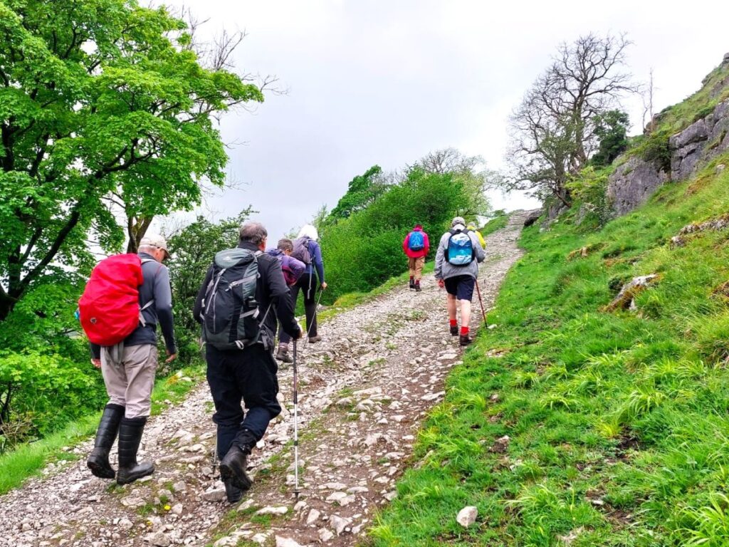
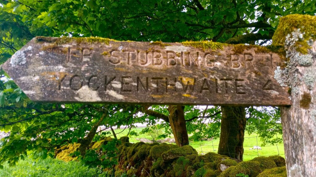
With our backs to the stepping stones, we see a lane leading up behind the old White Lion. After about 30m, the track forks with the route to the left heading to a number of dwellings – we keep right and head gently uphill for a little while, before levelling off to contour around the hillside. 100m beyond the location where we noted vehicle access to dwellings, there is a fork in the footpath. We need the more obvious route to the right – the path to the left would take us downhill to Stubbing Bridge.
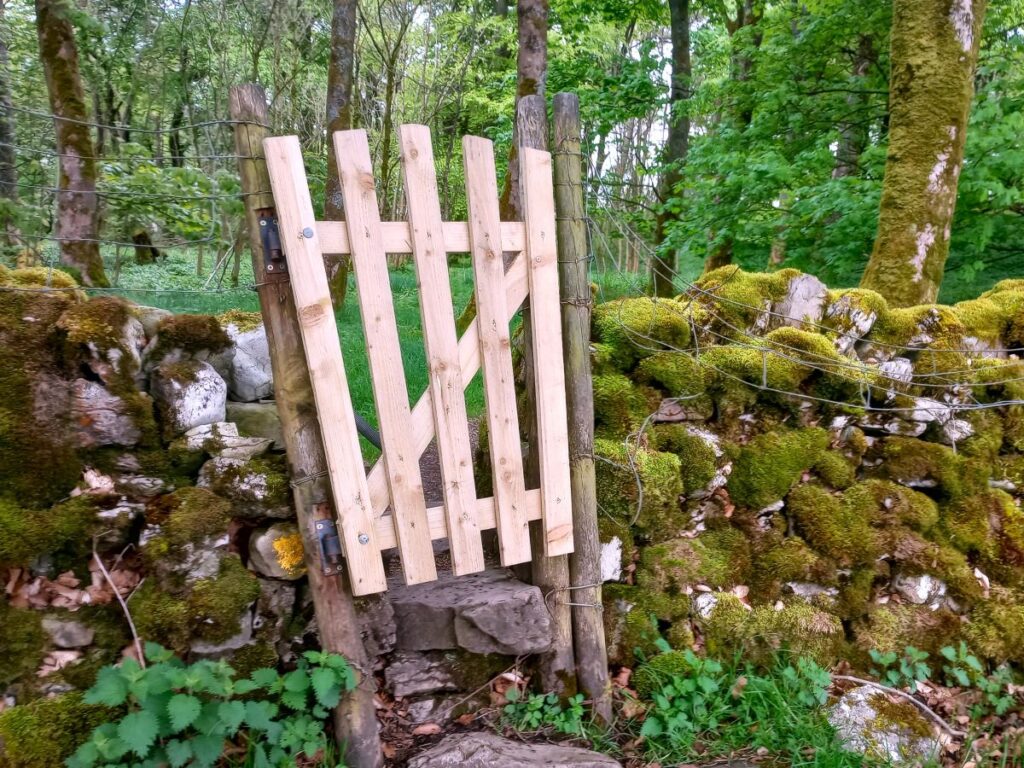
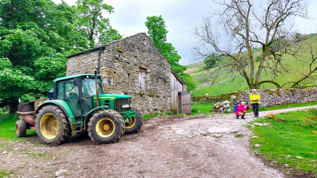
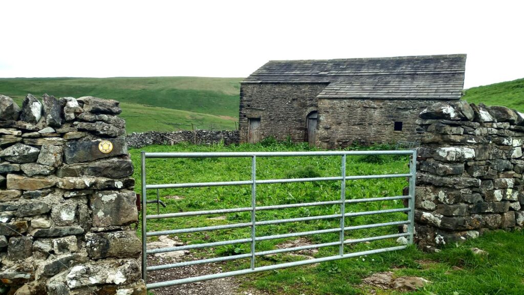
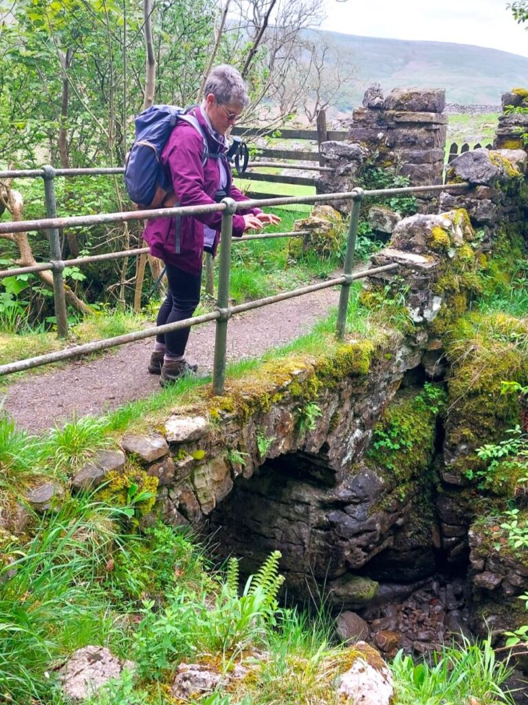
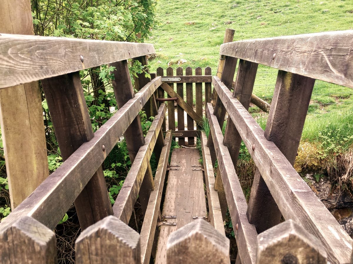
We cross a number of field boundaries and eventually see a disused stone barn – the path goes just to the left of this before heading down into the valley carved by Crook Gill – which we cross on a wooden footbridge. The bridge is about 500m after the path leaves the road at the White Lion.
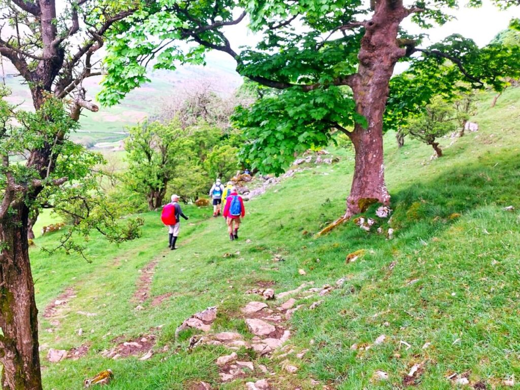
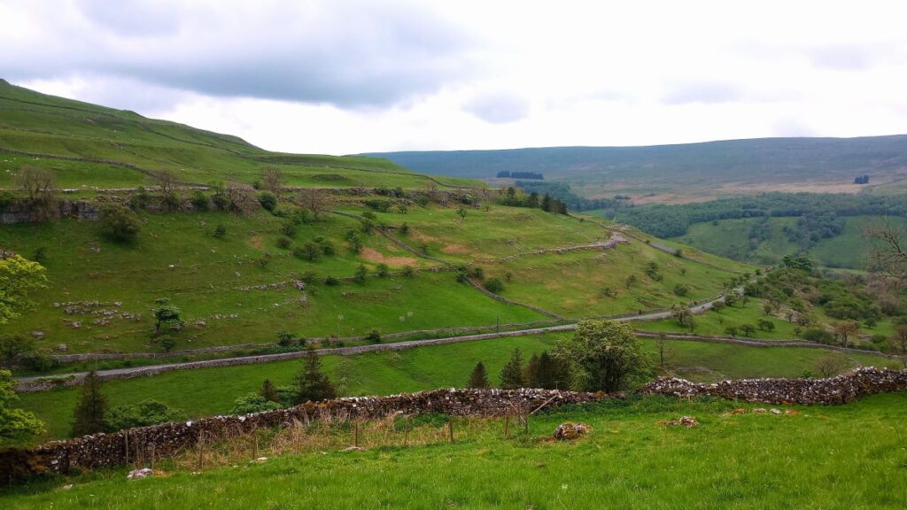
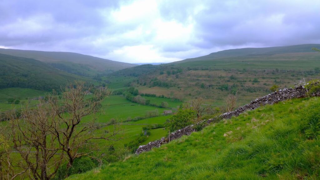
Once over the bridge we head left and follow the contours around the edge of Langstrothdale Chase. Note that the clear and obvious path on the ground here is just above the trees of Todd’s Wood and then Hubberholme Wood, whereas the OS map shows it perhaps 20m higher.
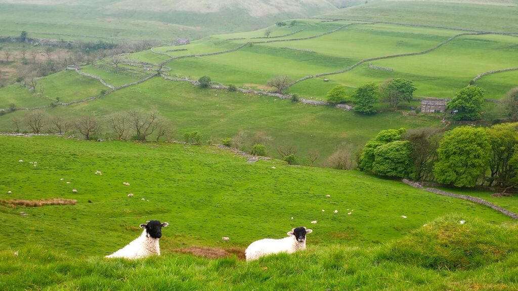
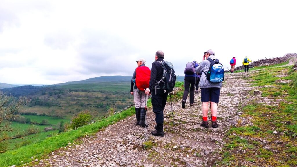
From here we get great views down the Wharfe valley to Buckden where we started, and onward to Starbotton and Kettlewell.
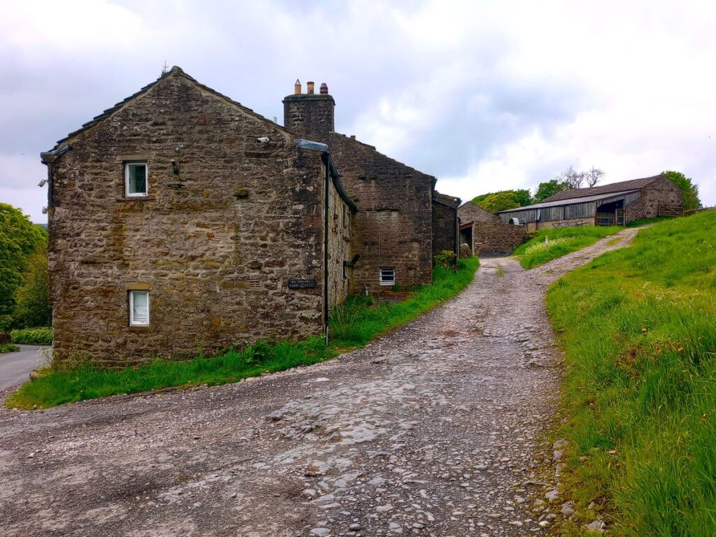
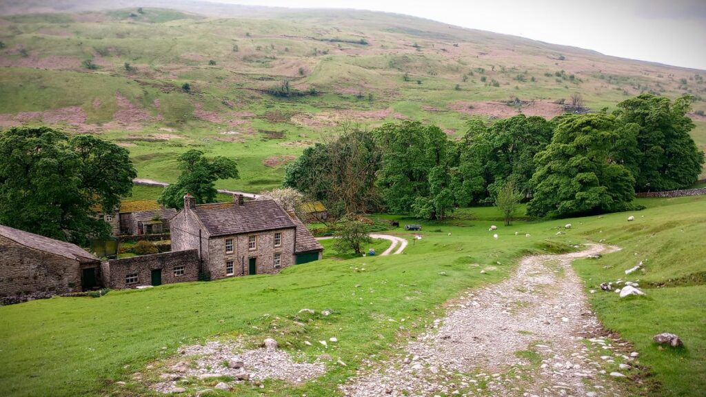
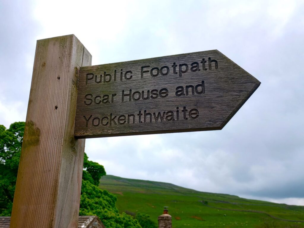
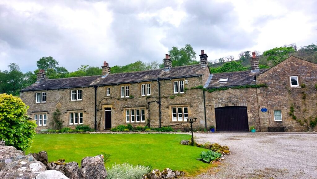
The path follows the contours for about 100m until we arrive at a farm – this is Scar House, and this provides another opportunity for a shortcut: The farm access road leads down to Hubberholme and is a public right of way.
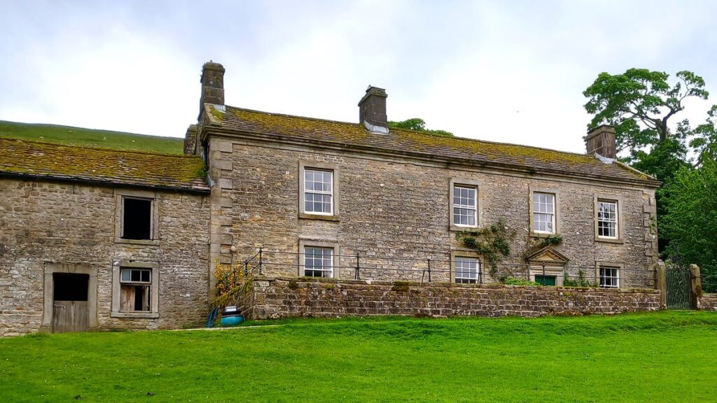
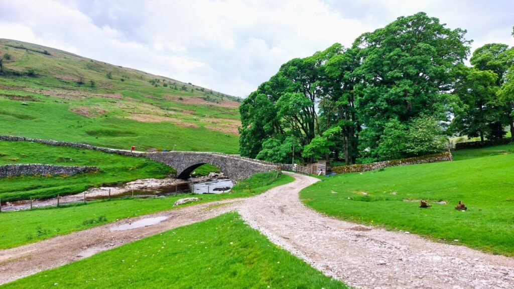
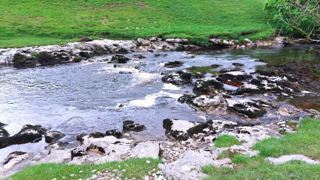
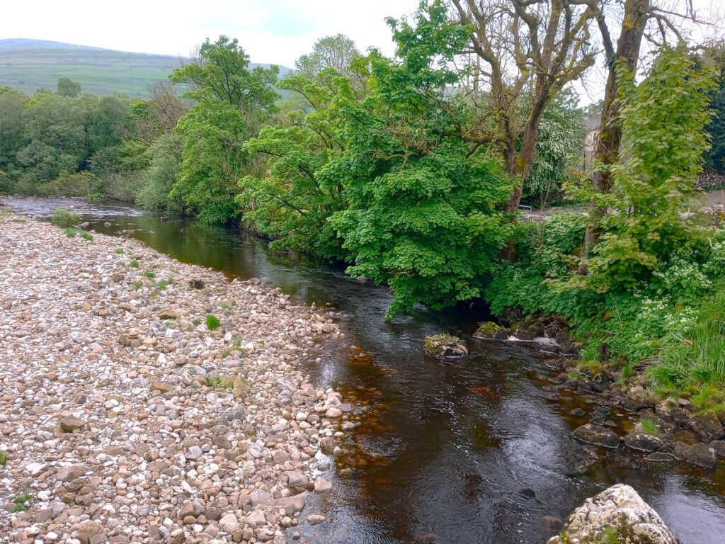
We did not want to miss the chance to see Yockenthwaite though, so we carried on past the farm and further up the valley – largely on the contours still. We pass above two further woods – Rais Wood and Strans Wood – before our path meets a larger track where we head downhill toward farm buildings at Yockenthwaite. As we approach the farm we see a lovely packhorse bridge crossing the Wharfe ahead, and at this point the location may well start to feel familiar to fans of the TV Series “All Creatures Great and Small”: The Alderson’s farm features regularly as Helen’s home before she marries James and moves to the practice. The farm we are now in front of, Yockenthwaite Farm is the location for filming these scenes.
The bridge and the river are beautiful in their own right, and this is a place worth seeing regardless of whether you like the TV series.
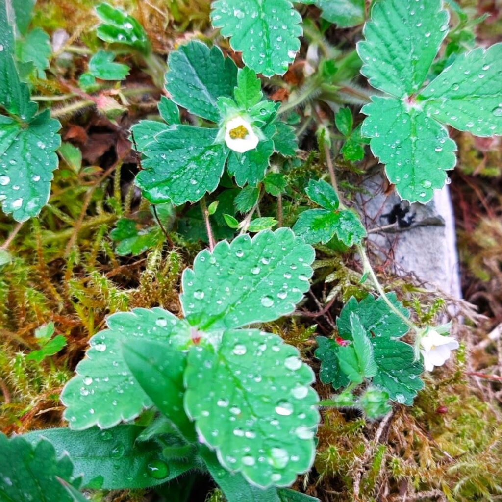
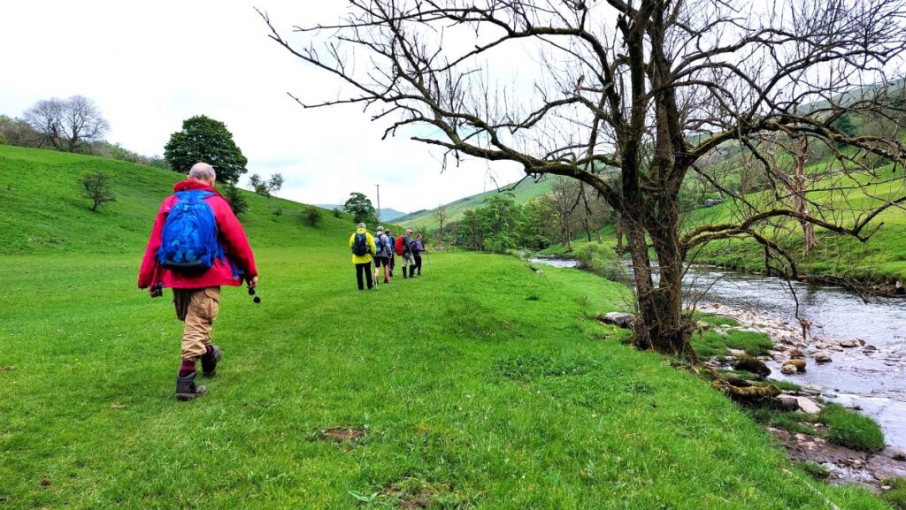
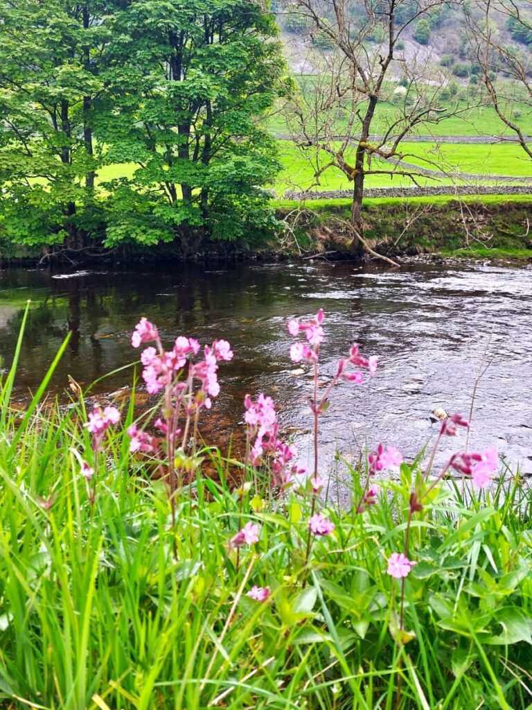
We are now at the far point of our walk and need to head back. The route is quite simple – we first follow clear signage to pick up the path at the side of the Wharfe and head downstream (east) until we get to Hubberholme, about 1.8km away. Please note that the land to your left as we follow the path downstream (now on the Dales Way) is a wildflower meadow – please walk in single file and at the field edge to help conserve this lovely area.
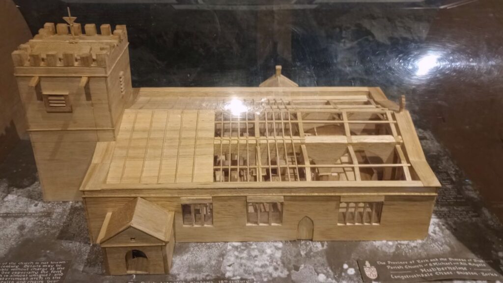
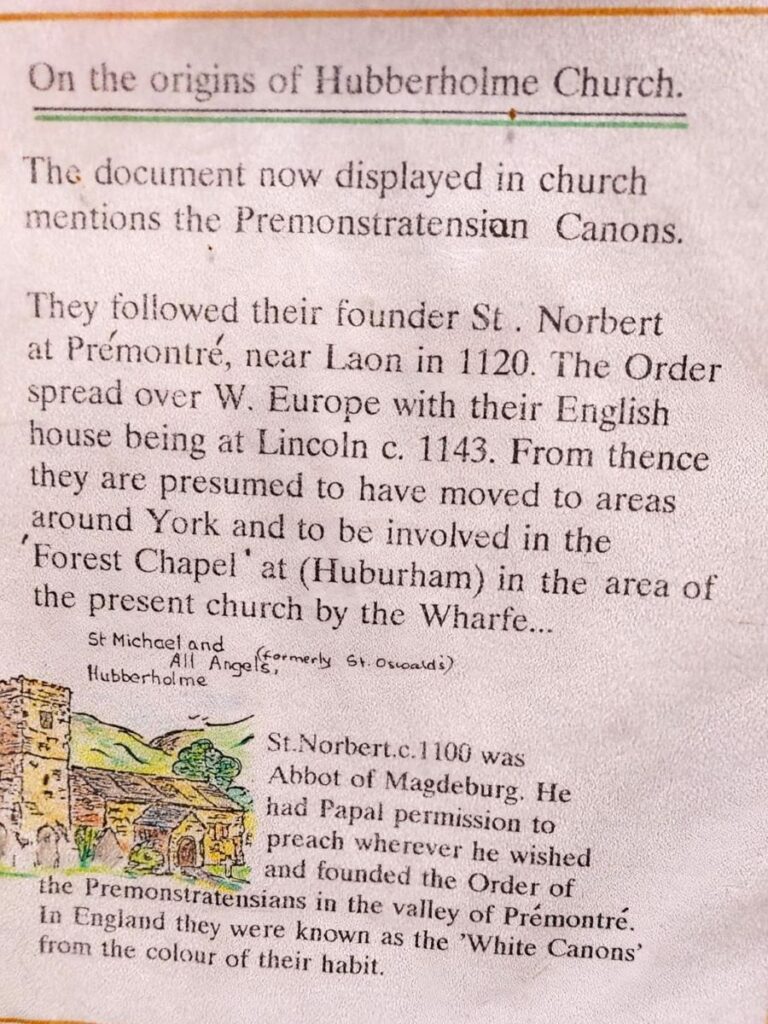
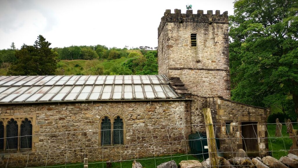
Our next landmark is the church of St Michael and All Angels in Hubberholme. As soon as this comes into view, we can see that it is very ancient. It dates back to the 12th century, when it was founded as a Forest Chapel of the Norman hunting forest of Langstrothdale Chase. Interestingly, it is believed to have been called St Oswald’s at that time, and it is further thought that the site was sacred even before this and may be constructed on the site of an Anglo-Norse burial ground.
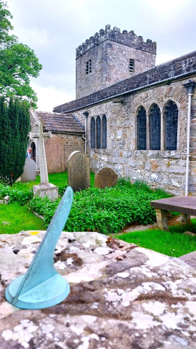
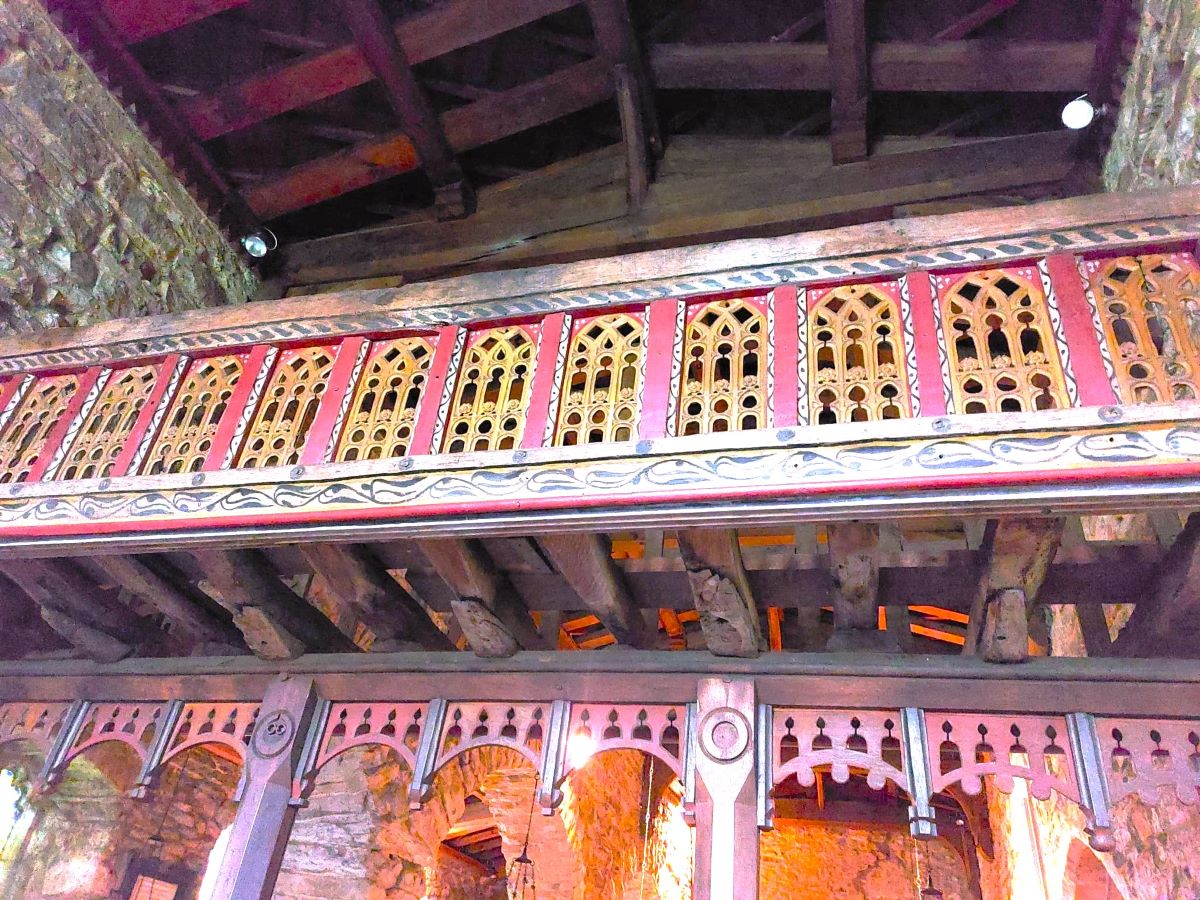
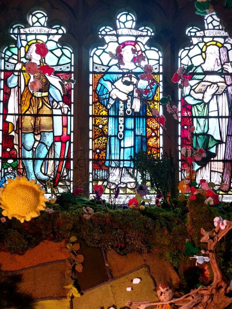
The building is simple from the outside, and very beautiful inside: Of particular note is the rood loft (an ornate gallery above the rood screen) which arrived in the church in 1558 and was probably situated in Coverham Abbey prior to relocation. Only two such lofts still survive in Yorkshire, the other being at Flamborough on the east coast.
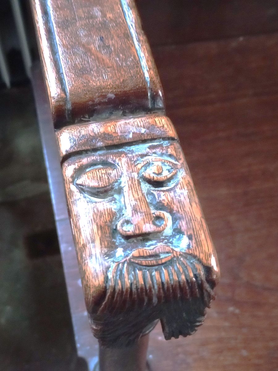
The pews are also worth exploring – they were carved by Robert “mouseman” Thompson and feature a number of his trademark church mice – the apparent explanation for his use of this motif stems from a conversation between Thompson and a colleague where they were bemoaning the fact that although they enjoyed their work, it left them as poor as church mice.
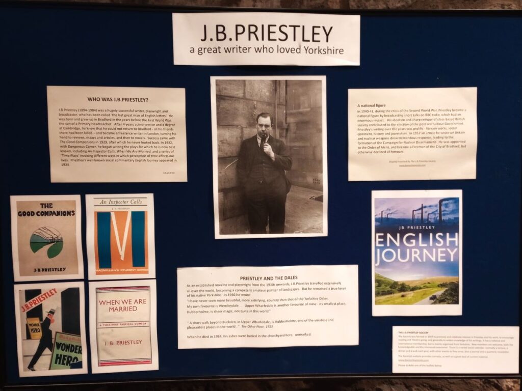
Most small rural churches would be proud to boast just one of these features, but St Michaels and All Saints offers yet more: The author, J.B. Priestley, described St Michael and All Angels Church as “one of the smallest and most pleasant places in the world”. He has a memorial at the back of the church and his ashes were scattered in the churchyard. In addition, there is a stained glass window in the church which commemorates the achievements of George Andrew Hobson, a late Victorian civil engineer who lived in the village. It shows his Victoria Falls Bridge constructed in 1905, which crosses the Zambezi River just below the Victoria Falls.
Formore detail about the church follow these links:
BREAKING NEWS: Walking on roads is always less appealing than a safer separate footpath. This may soon be possible with a new permissive path replacing this road section. Click here for a Craven Herald article explaining the plan.
From the church we have a simple 1.2 k stroll back to Buckden – all of it on the Dales Way. We start by crossing the river Wharfe as if heading for a beer at the George Inn – not something we were able to do as it was not open when we passed.
We then head left and walk along the road (Dubbs Lane) for about 400m, until we find a fingerpost on the left taking us across fields and back to the river.
From here the path hugs the right bank of the Wharfe all the way downstream to the road bridge just outside Buckden where we rejoin the road, head left and back into the village centre, where the walk ends.
We designate this walk as “moderate” because it exceeds the 12km threshold that we use in our classification. However, the terrain is easy throughout and there are a couple of clear opportunities to take a short cut, so users of our “easy” walks should add this to their shortlist.