Jump to . . .Step by Step | OS Map | Downloads | Gallery | Fly through
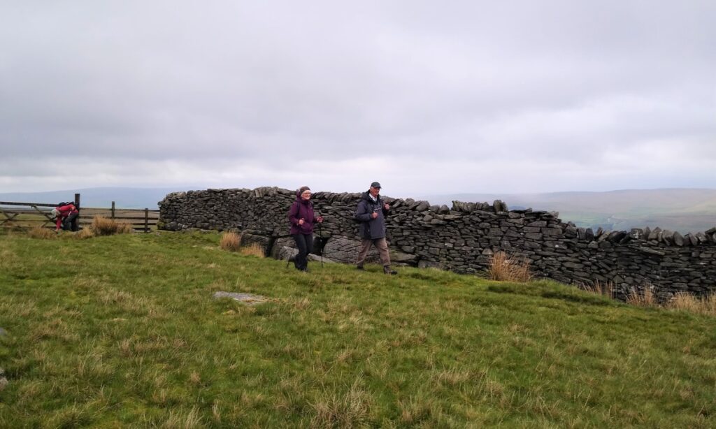
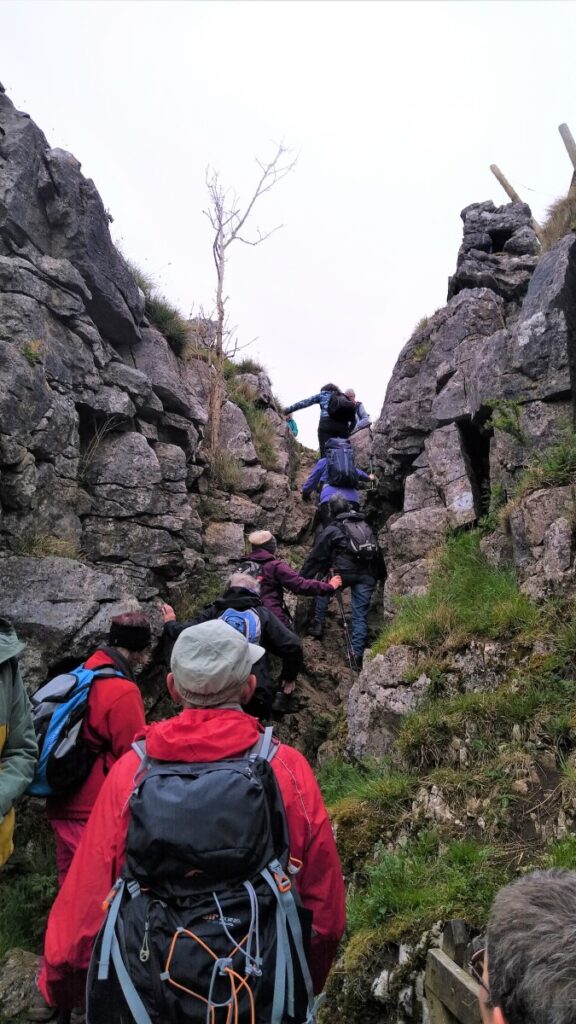
Wharfedale is an exceptionally beautiful part of the world, and this walk from Conistone shows us the best of it. The first part of the walk involves some hard walking up the Dib – a steep gorge with some clambering over rocks required.
To be clear though, this is tough walking rather than rock climbing.
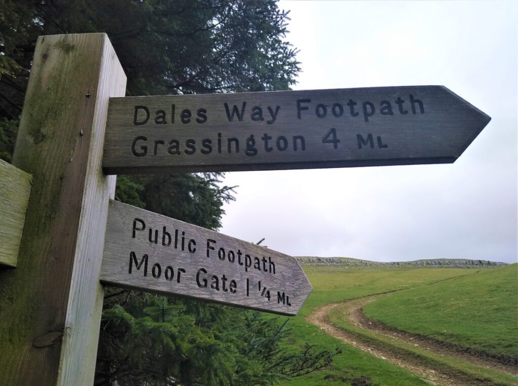
This takes us up to a crossing of paths where we find the Dales Way and Scot Gate Lane. The latter goes back down to Conistone – and is therefore a way to by-pass the Dib if you prefer.
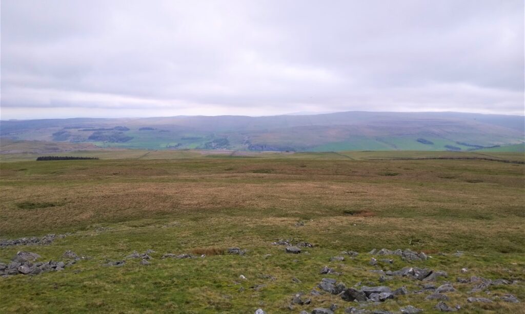
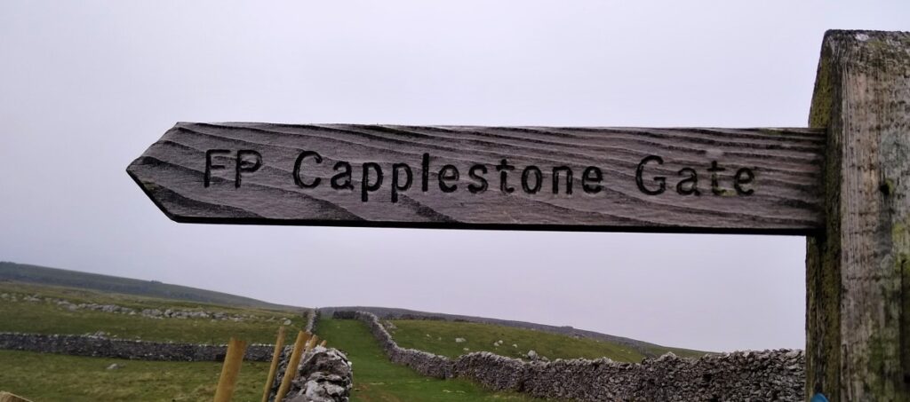
We then take the Bycliffe road up as far as the Conistone Turf Road where we head onto Conistone Moor and Copplestone Gate (also sometimes spelled Capplestone). The views from here across the valley to Kilnsey Crag and Hawkswick Moor are particularly impressive.
We then head downhill to find the Dales Way again and follow this back to Conistone Pie before returning to Conistone village via Scot Gate Lane.
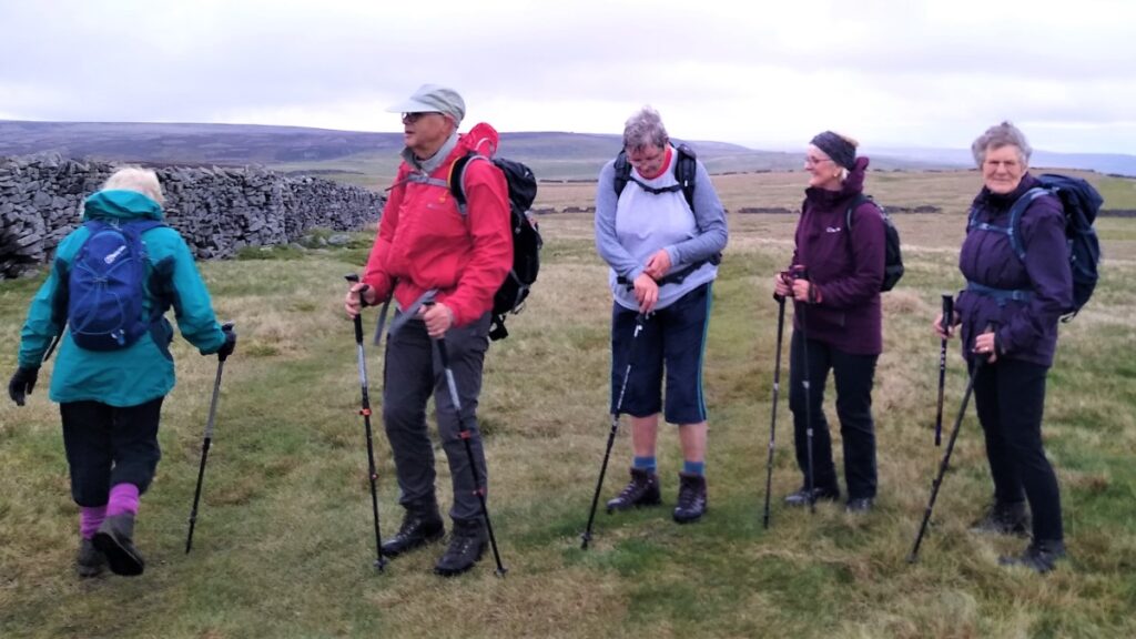
The modest distance means that this is classed as an easy walk, but the clambering up the Dib means that you need to be fit and appropriately clothed / booted.
- Total distance 11.8 km (7.3 miles)
- Total Ascent 437 m
- Easy walk
Step-by-Step

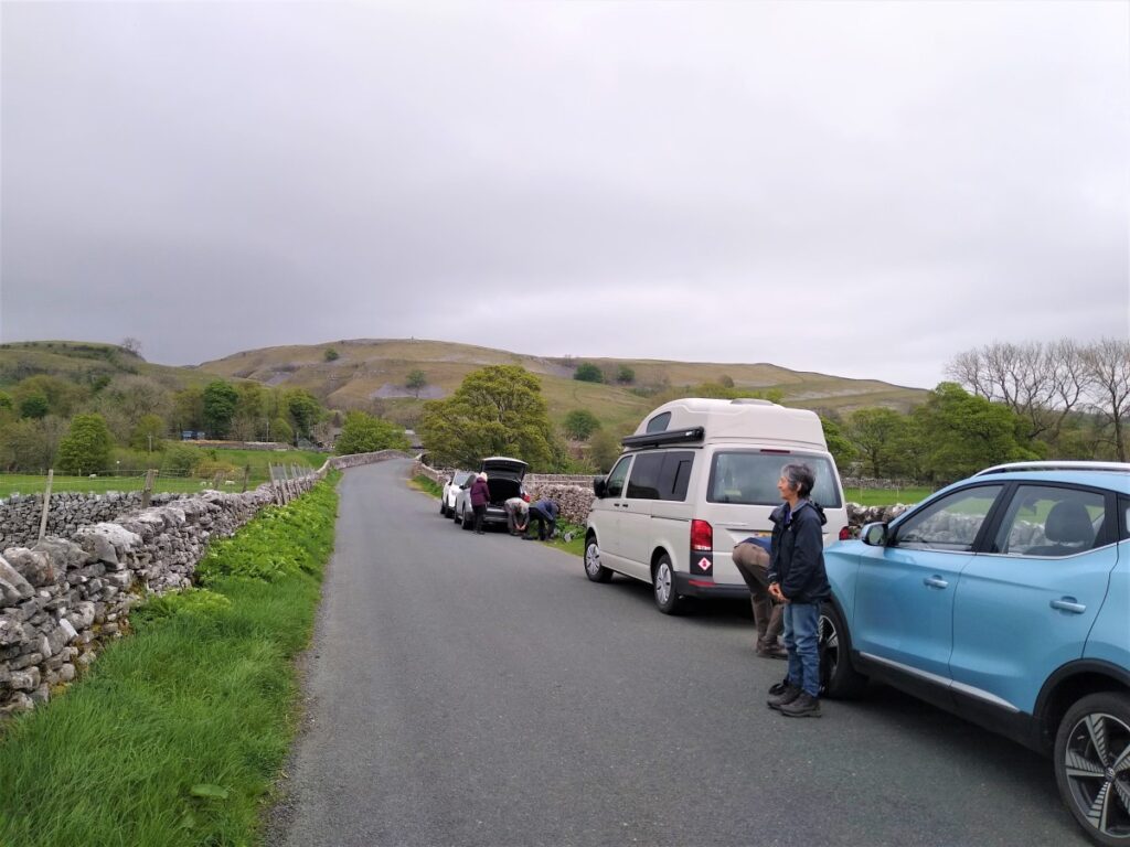
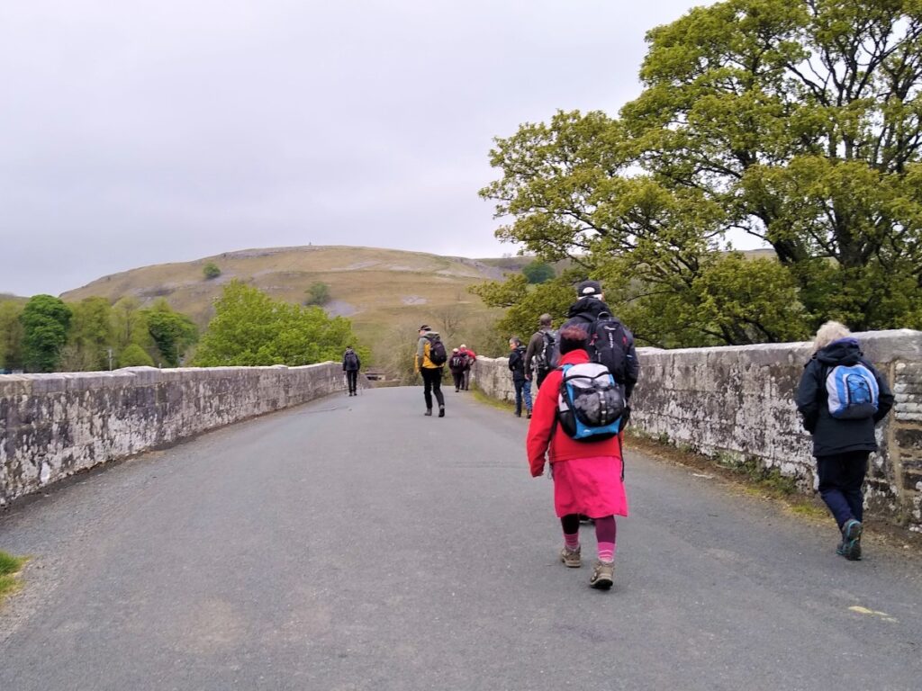
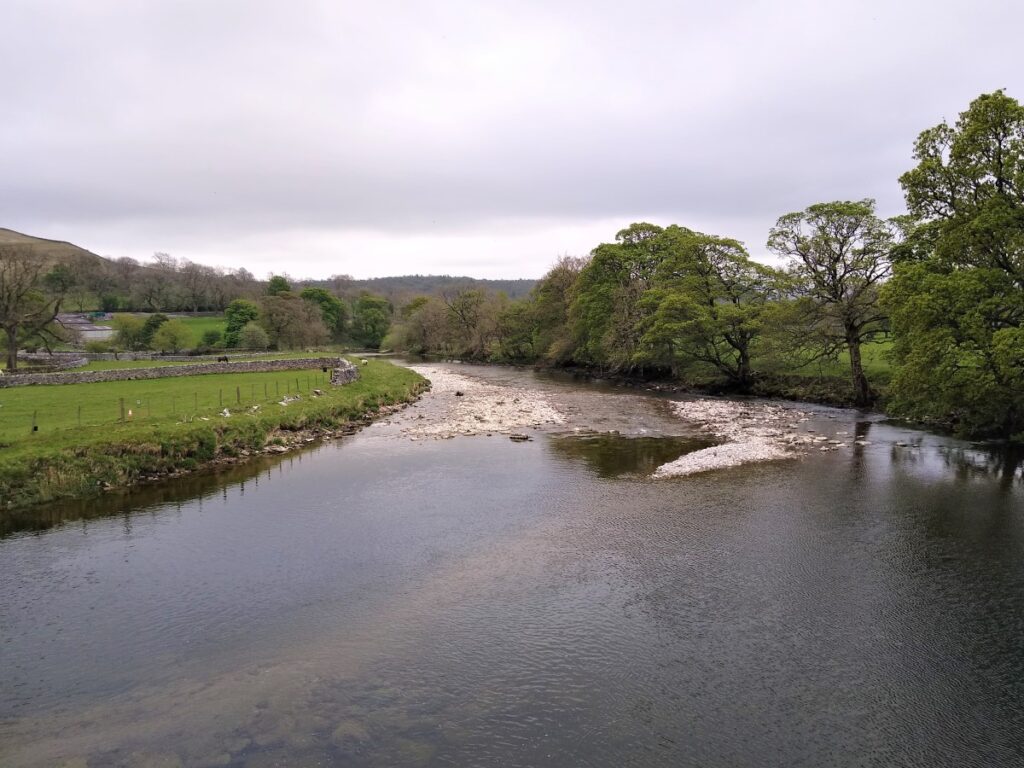
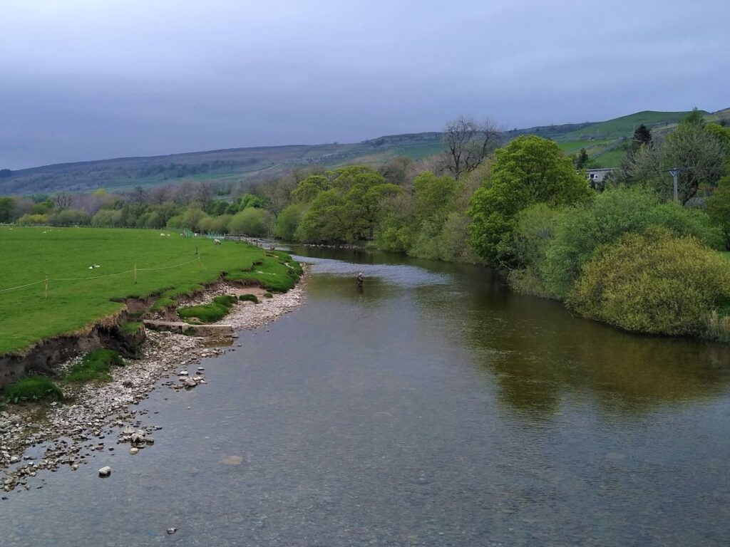
We start at the bridge over the River Wharfe at Conistone. Roadside parking is free, but please park in a manner considerate to local residents.
To find the start use grid reference SD97876750, or the rather splendid what-3-words tag satin.hamsters.dries. Satnav users should find that postcode BD23 5HS gets them to the bridge.
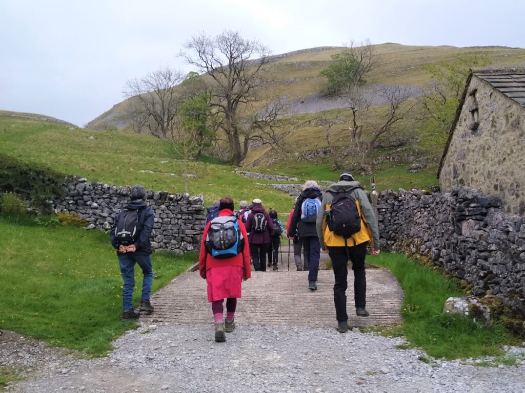
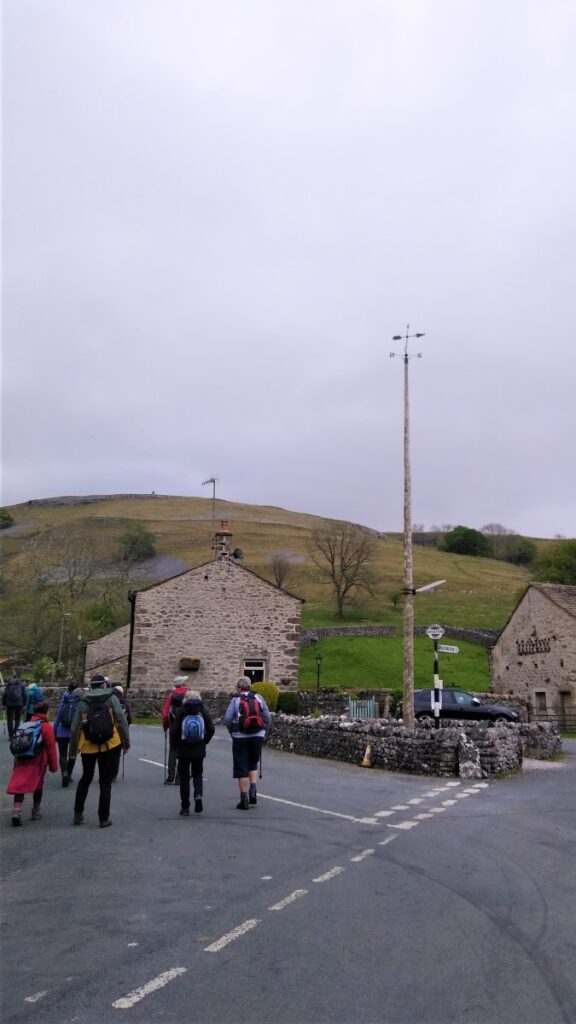
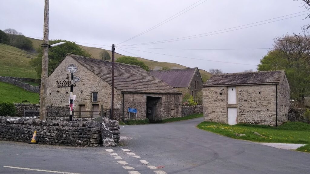
From the bridge we head East over the river into Conistone, passing the trekking centre on our left, to find the centre of the village with the tall maypole ahead of us.
We take the left hand fork to pass the maypole and then almost immediately find a track on our right heading out toward the Dib.
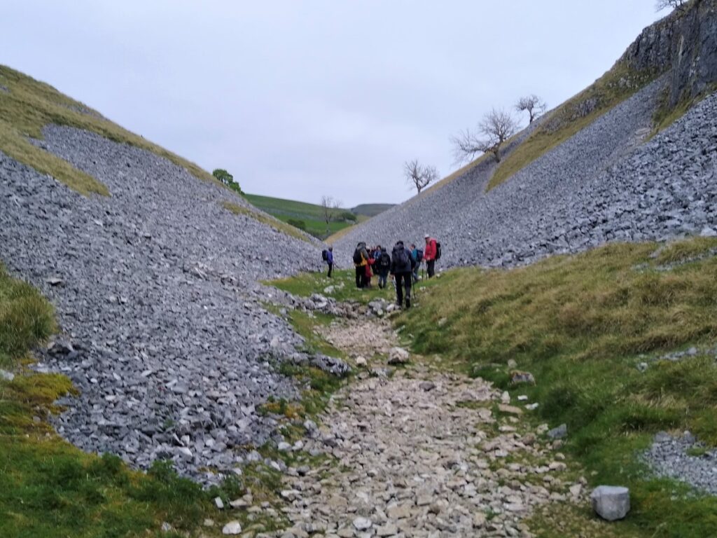
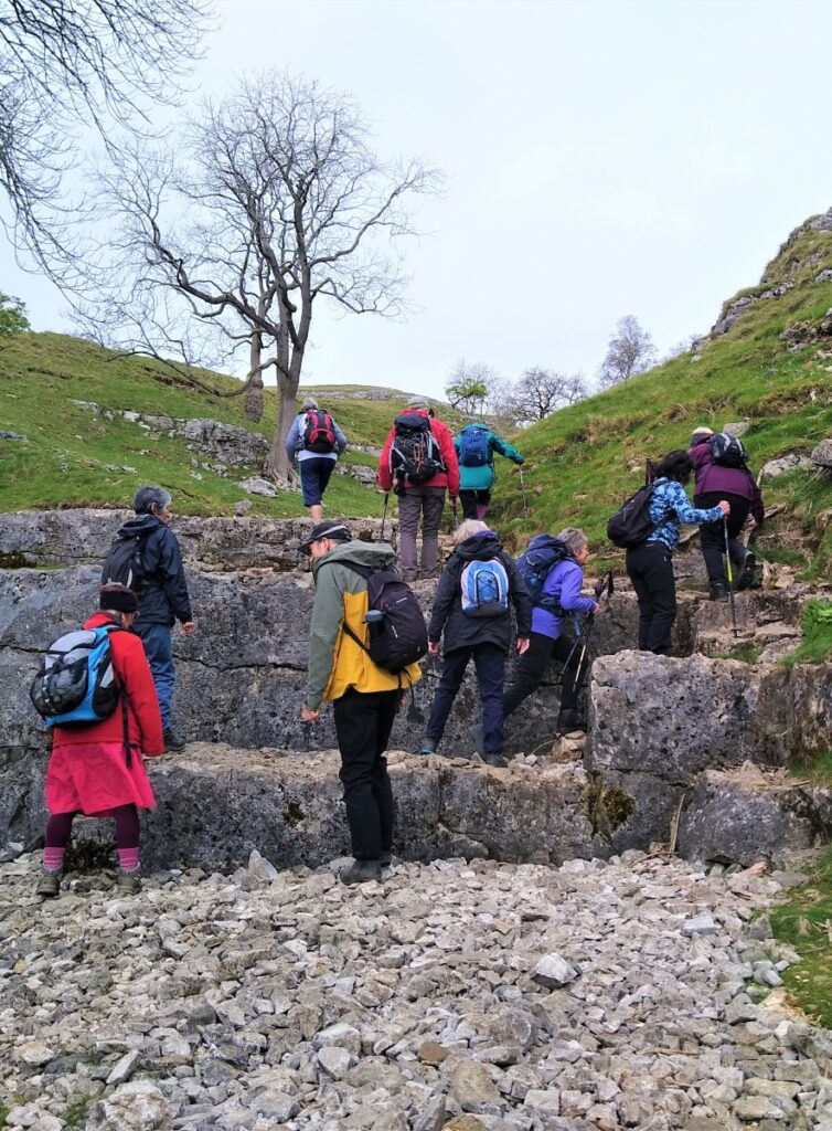
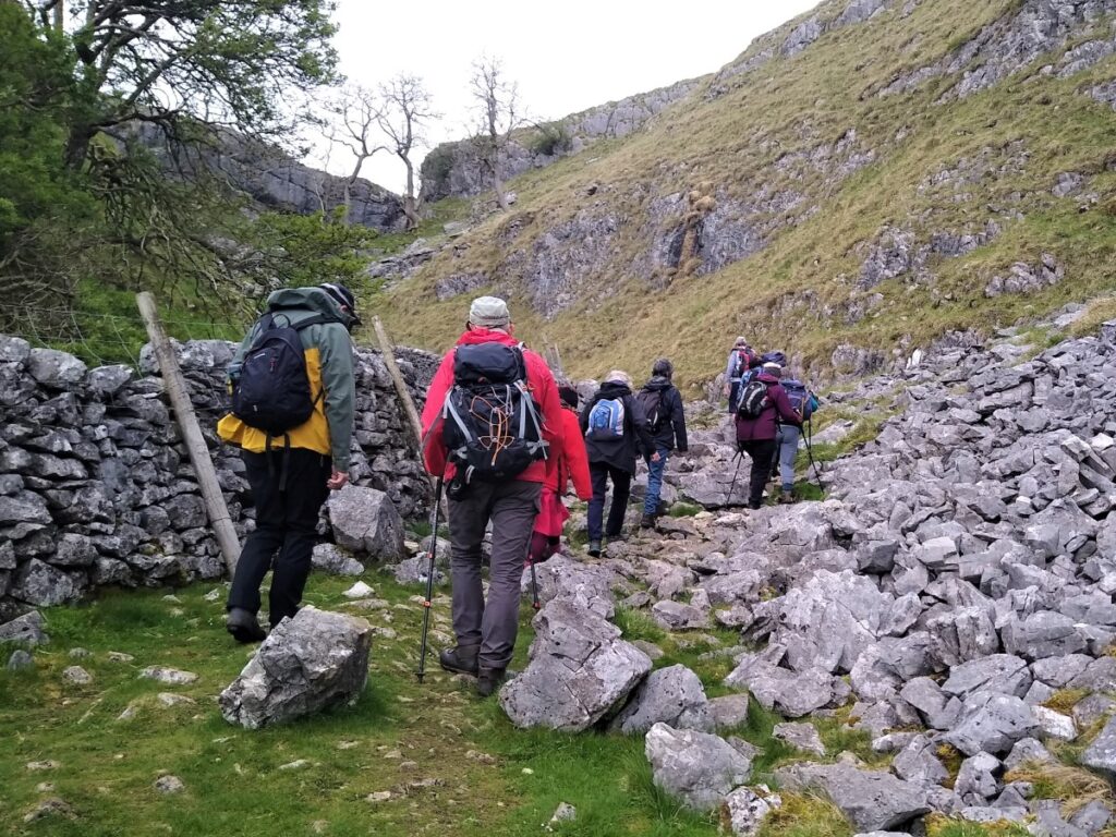
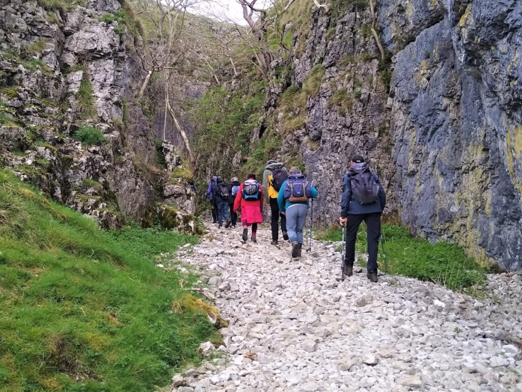
The Dib is believed to have formed as a glacial meltwater drainage channel during the last ice age and although it is now dry, it does feel very much like we are climbing up the route of a waterfall.

The path through the Dib eventually goes on to up to Grassington Moor and Mossdale Caverns – and although we do not go that far on this walk, those options are worth exploring another day.
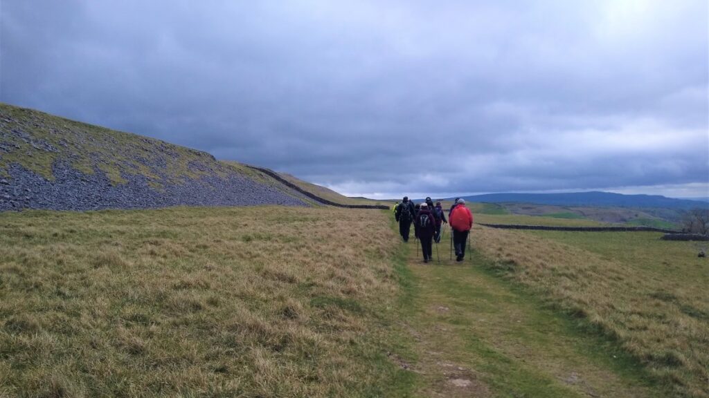
The route through the Dib is clear but can be challenging – particularly in wet or slippery conditions, as some clambering over quite large stone steps is required.
We are in the realm of tough walking here rather than rock climbing, but if a gentler route is required, rather than taking the first lane in Conistone take the road past the church and take a right up Scot Gate Lane until you find the Dales Way where the two alternatives come back together.
We recommend the Dib as the primary route – the sense of adventure is better and the views back through the steep gorge are well worth the effort.
At the top of the Dib, we arrive at a flatter area where we find the Dales Way crossing our path. We briefly take this to the left and head uphill to meet Scot Gate Lane – a wide green lane that eventually finds its way over to Mossdale, where the Mossdale Caverns may be found.
Mossdale is a name etched into the consciousness of UK cavers because of a tragedy that occurred on 24th June 1967. On that day, ten cavers entered the system. Three hours later, four members of the party decided not to continue and exited the cave. One of these four returned to the entrance a while later to find it completely submerged under the rapidly rising flow in the adjacent Mossdale Beck.
Realising that the six colleagues who remained inside the cave system were in grave danger, she ran 4 kilometres (2.5 mi) across the moor to raise the alarm.
Cave rescue teams arrived at the scene, but the high water levels prevented access to the cave until the course of Mossdale Beck had been diverted away from the cave entrance by digging a trench. Even then, the rescue operation could not start immediately because of the high water levels inside.
The following day, entry was possible: The cave rescue teams found the bodies of five of the cavers in the Far Marathon Crawls, a search party went to a location where they believed the sixth might have survived, but without success. The final body was located the next day. The deceased were left in situ, and the coroner instructed that the cave be sealed, with concrete being poured down the only safe entrance.
The entrance was later re-opened and in 1971, with the blessing of the bereaved families, the bodies were respectfully re-buried by their colleagues from the University of Leeds Speleological Association in “Mud Caverns”, a chamber at the far end of the system.
This remains the most tragic incident in the history of British caving, and a stainless steel memorial plaque is fixed to the cliff above the entrance.
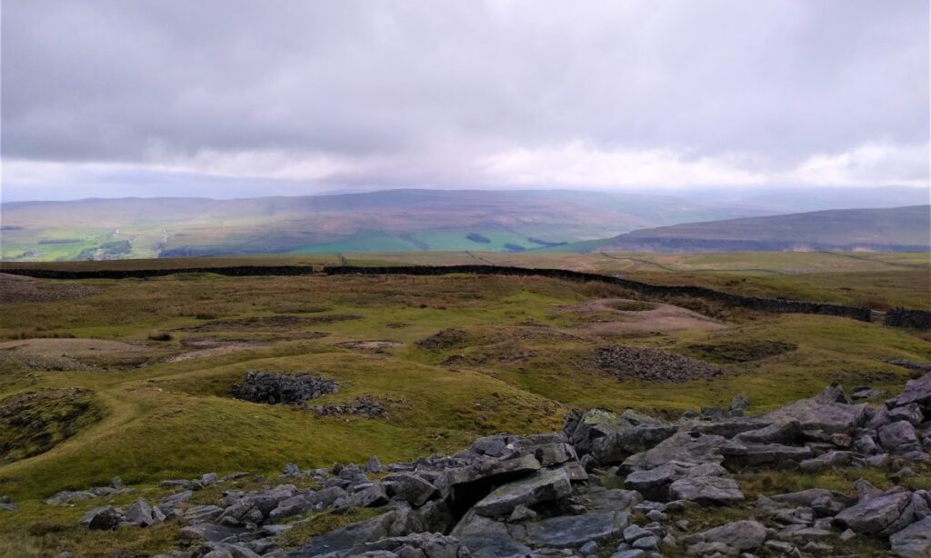
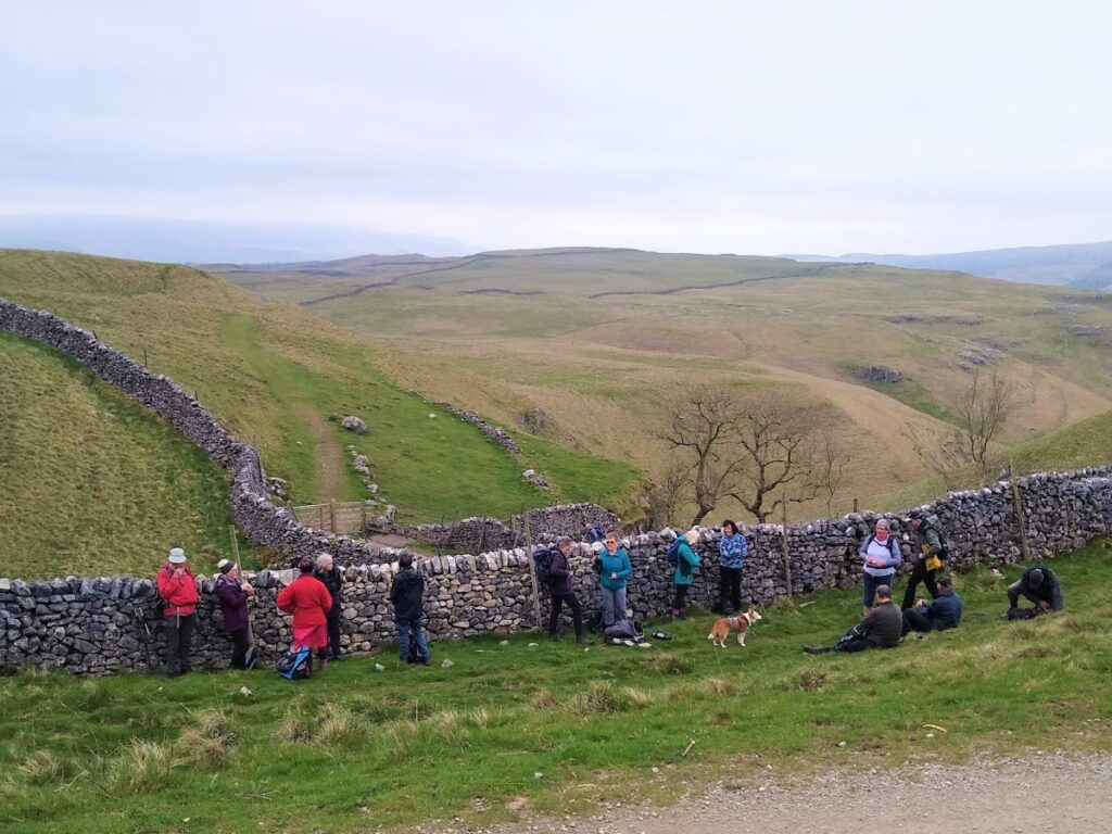
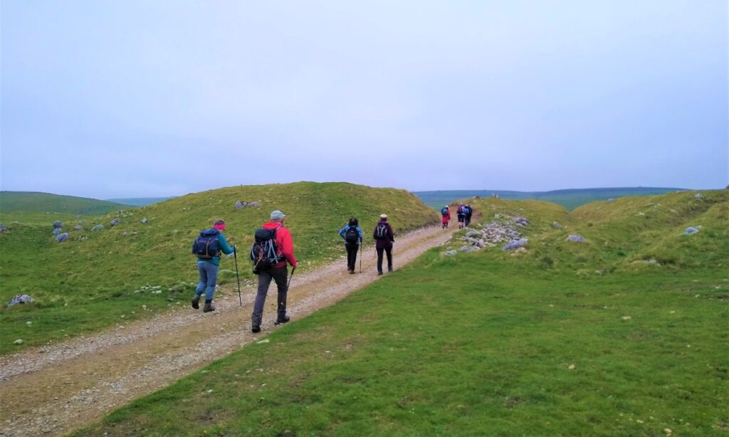
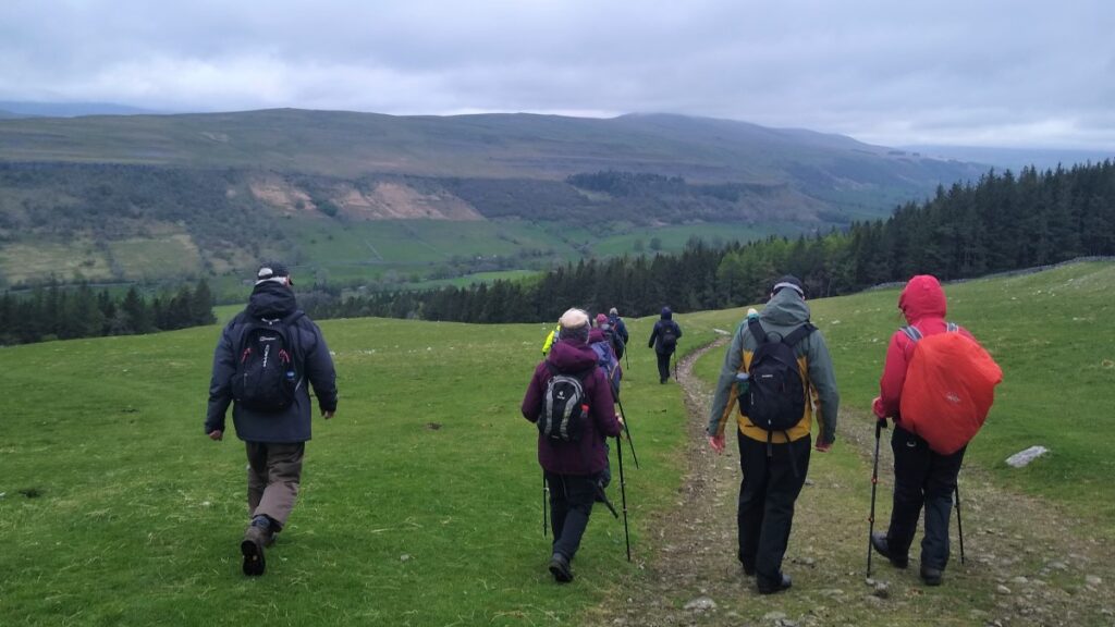
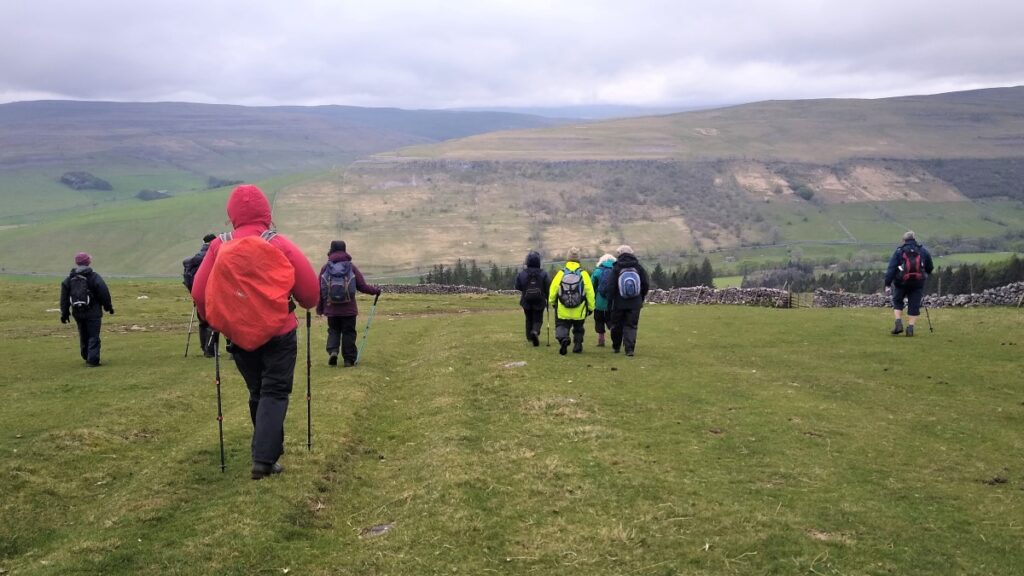
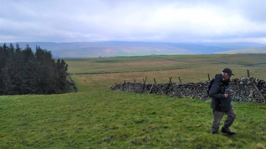
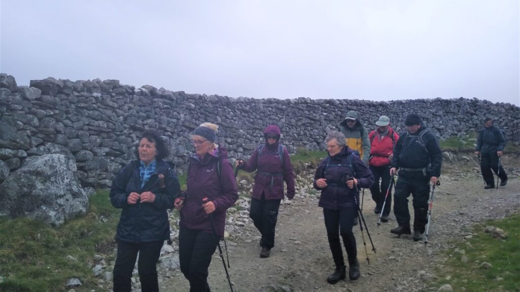
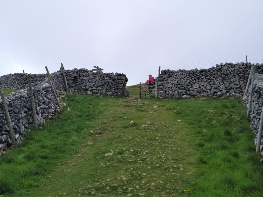
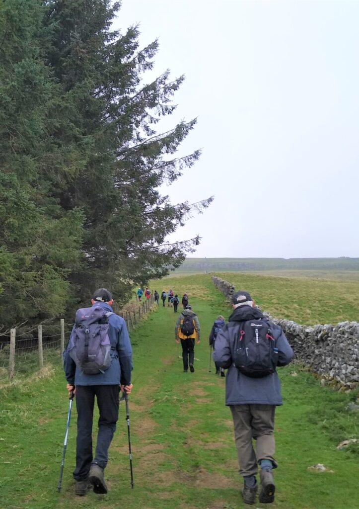
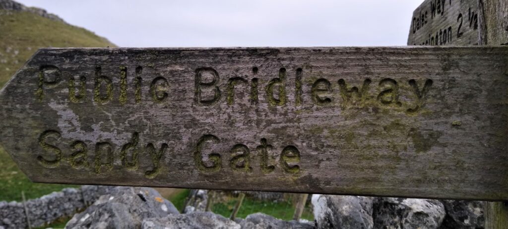
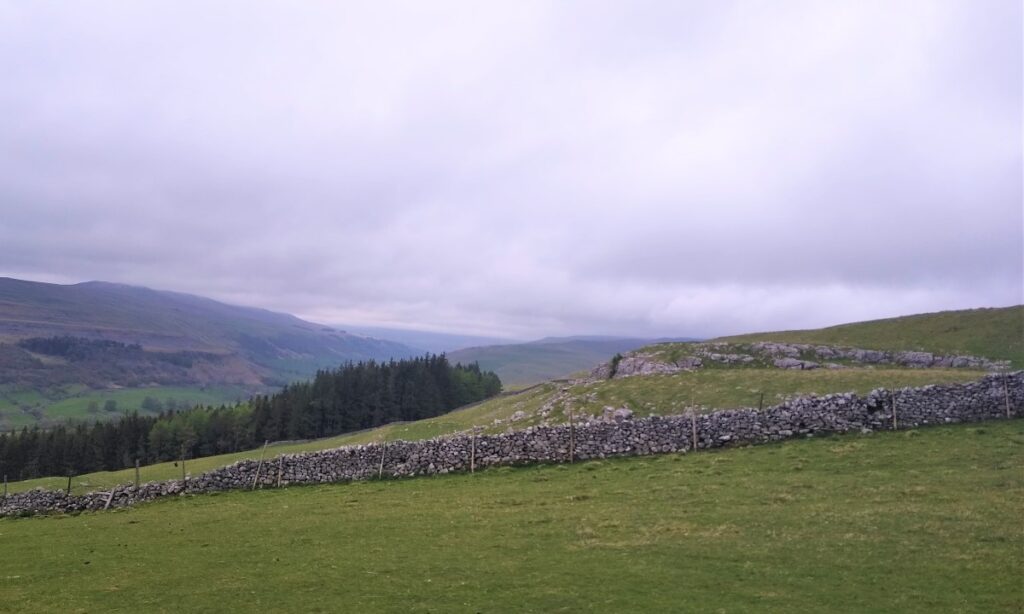
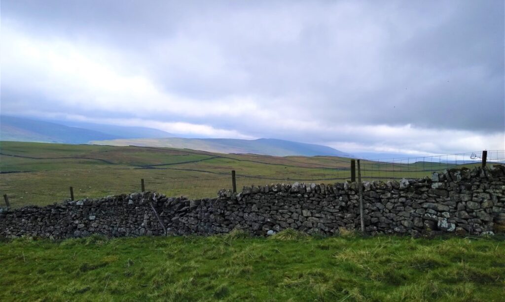
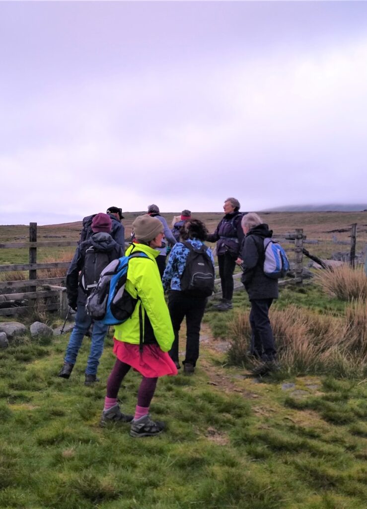
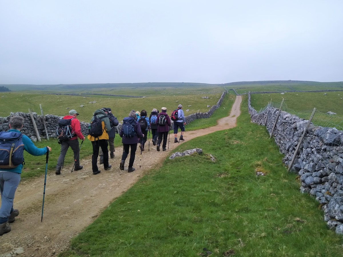
We take the opportunity to rest at the junction of The Dales Way and Scot Gate Lane, before taking the lane Northeast – Scot Gate Lane becomes Bycliffe Road at this point, and despite the names sounding like well made tarmac roads, these are just rough green lanes and there is no traffic, other than the occasional horse to worry about. Our route is signposted for “Sandy Gate”, and we are now walking on much flatter land than at the start of the walk.

After a few hundred meters, look out for a cross roads where the route ahead ends and our route, signed for Capplestone Gate leaves on the left. We are now on the Conistone Turf Road.
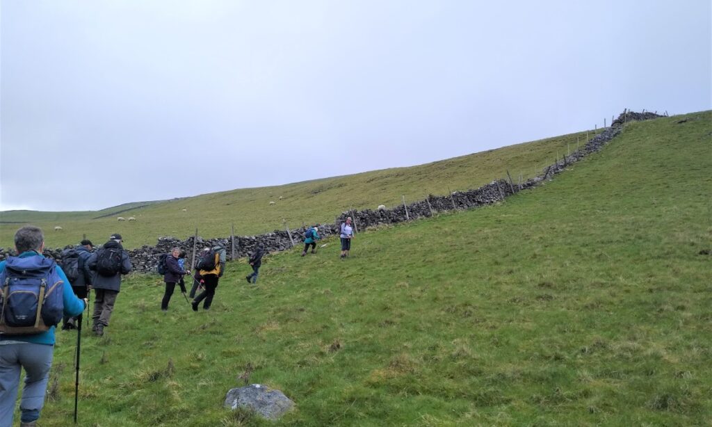
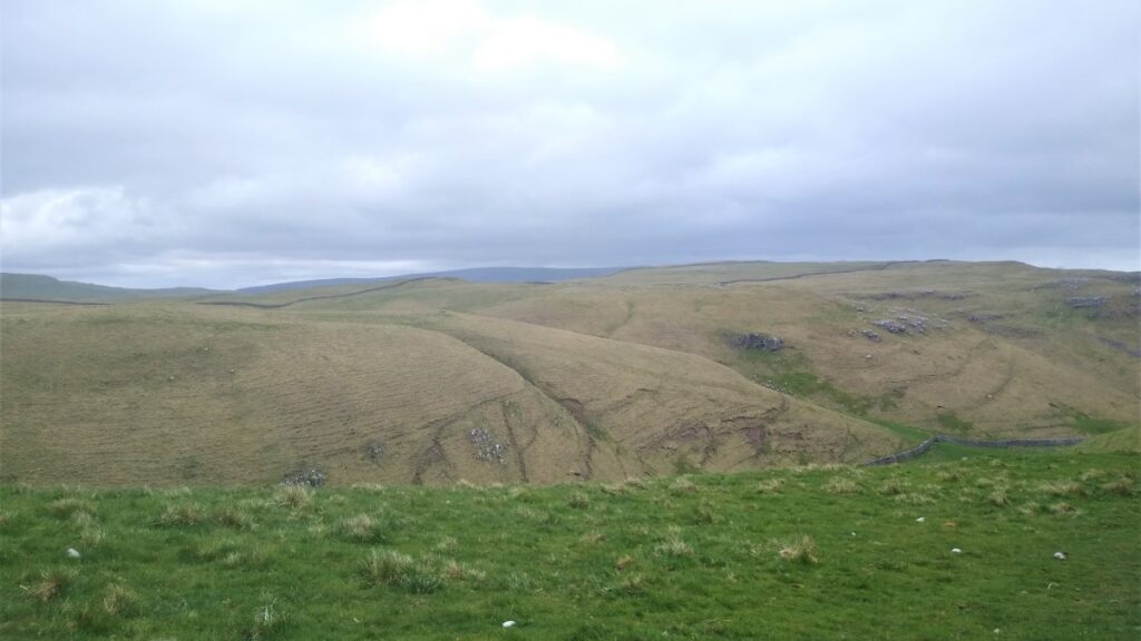
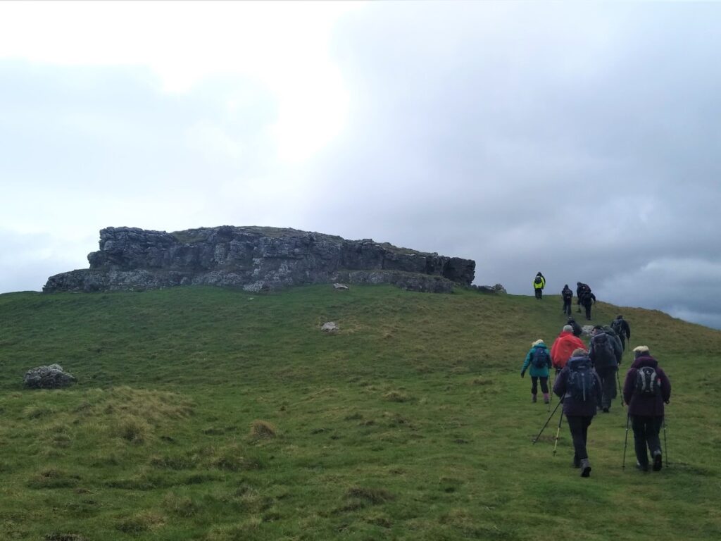
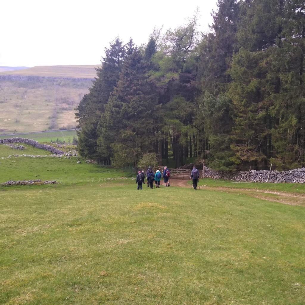
This heads North toward a stand of conifers where we find a gate leading onto Conistone Moor, where we follow round the back of the trees to pick up a drystone wall which we follow up a steep hill. The path here is not particularly clear, and it may be easier to take a somewhat “alpine” approach to the climb.
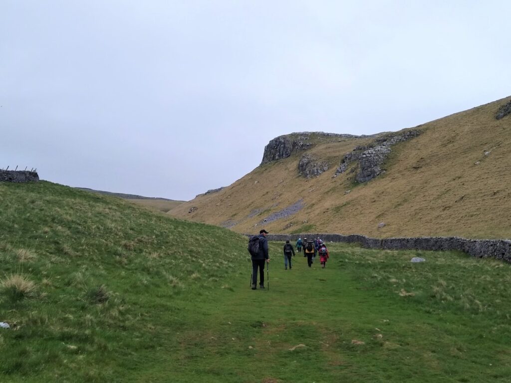
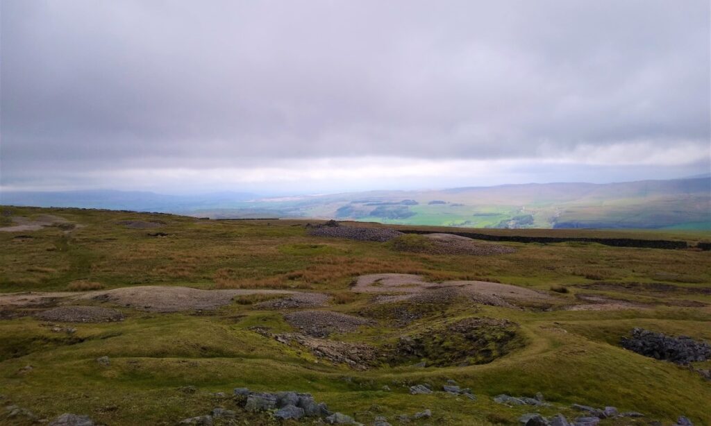
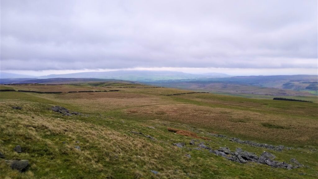
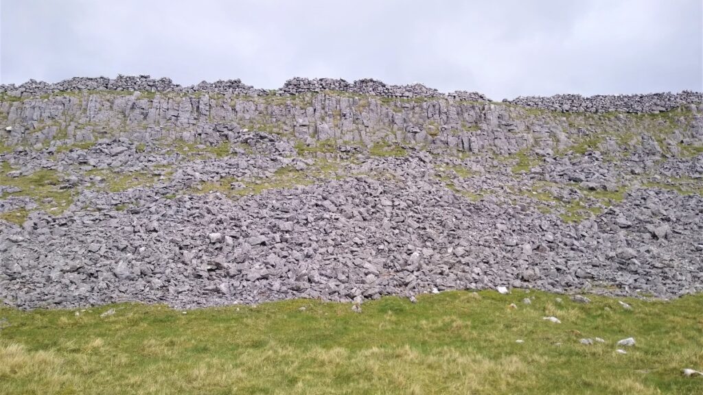
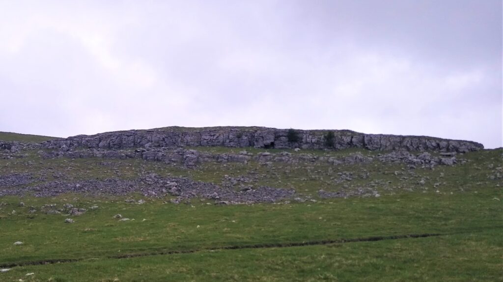
Ahead of us at this stage is a striking limestone scar – we need to crest this before we see the route continuing to climb, but now much more gently, toward Copplestone Gate, and a trig point.
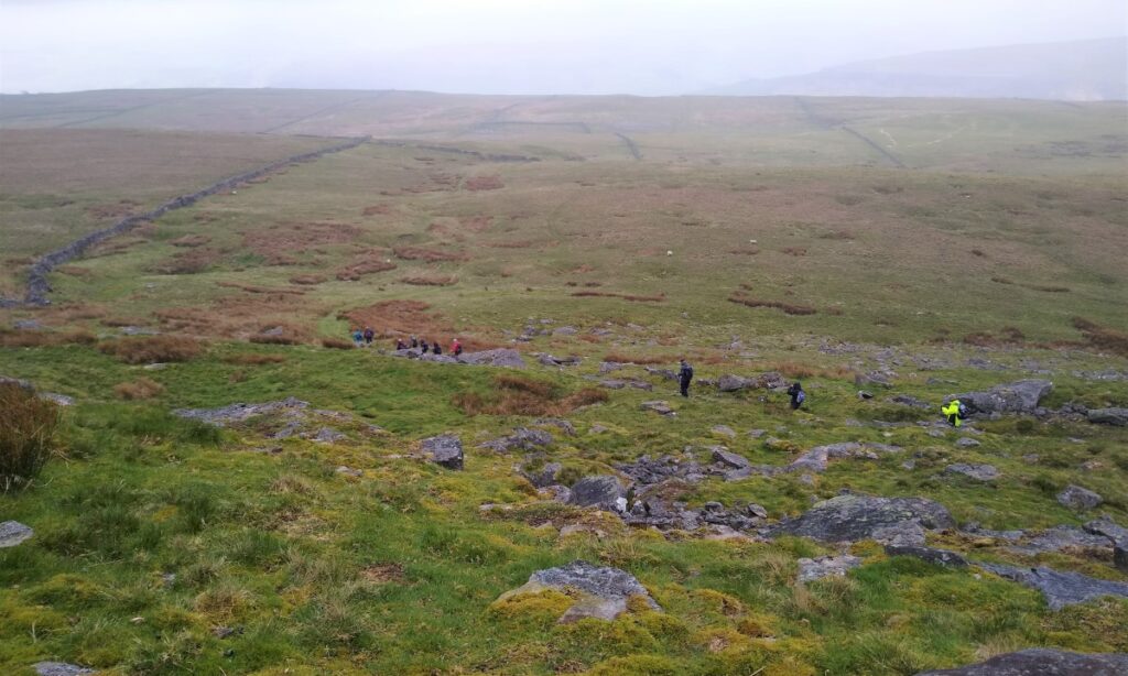
We are now into an area that was once an important lead mining area, and the scars of this industrial activity are still clear.
The mining was based on primitive “Bell Pits” where a shaft is sunk to reach the mineral, which is excavated by miners, transported to the surface by a winch, and removed by means of a bucket, much like a well. These tiny bell pits would have been owned by single miners or their families.

Once the ore – in this case Galena (lead II sulphide) – is reached, the bottom of the shaft is enlarged, and a domed roof is created as the desired mineral and surrounding rock is removed. This is where the reference to a bell comes from; the widening at the base means that in cross section the pit resembles a bell.
Typically, no supports were used, and mining continued outwards until the cavity was considered too dangerous or actually collapsed, at which point another mine was started, often in close proximity. The potential for the loss of life in this approach is obvious.
Bell pits also flooded due to a lack of a drainage system. This, together with the lack of physical support, meant they had a very limited lifespan before inevitably collapsing. For this reason, none remain intact.
The remains of bell pits can though be identified by depressions left when they collapsed – these are clear in the picture above. In some places, they will follow a straight line as the seam of mineral is being followed. Bell pits were not an efficient way of extracting minerals as they only partially exploited the resources, and for this reason were replaced by more effective techniques in later mines.

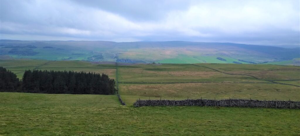
From the trig point we head North and notice a fork in the path. We take the right hand route, but if you miss that, it’s not a problem as the path later merges with our route which now continues along the line of the scar with excellent views across Wharfedale and toward Kettlewell.
We cross a fence and track along a drystone wall to take shelter for lunch before taking a sharp left turn over a stile and heading steeply downhill.
The path is clear and generally heads Southwest initially. A second path crosses – this is the one from the fork by the trig point, so welcome back if you missed that one.
We now head down toward a stand of trees in the bottom of the valley, to arrive at a gate into the woods. However, we do not enter the woods, instead we turn hard left, now on the Dales Way again, to walk along fairly flat ground along the base of Swineber Scar and above a series of Lathes – North Flats Lathe, Hill Castles Lathe amongst them: Lathe is a regional word, of Scandinavian origin for a barn and the area of land around it.
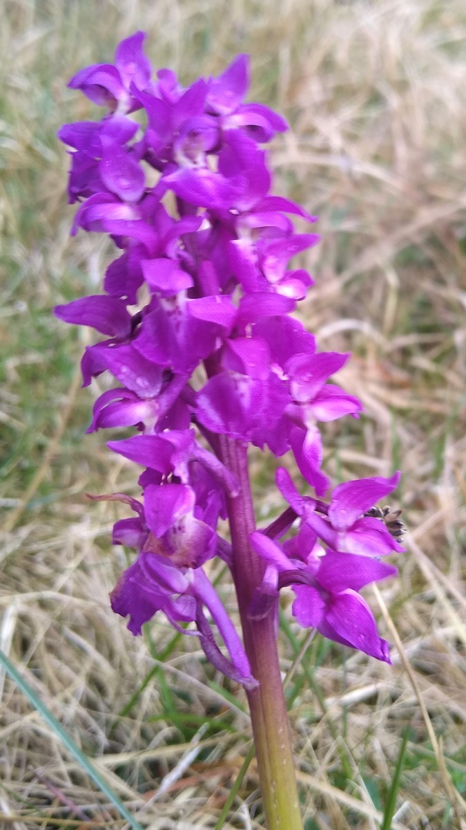
The land here is more fertile, or perhaps more accurately less poisoned than that around the lead mining spoil, and we noted (in spring 2022) that orchids were doing particularly well.

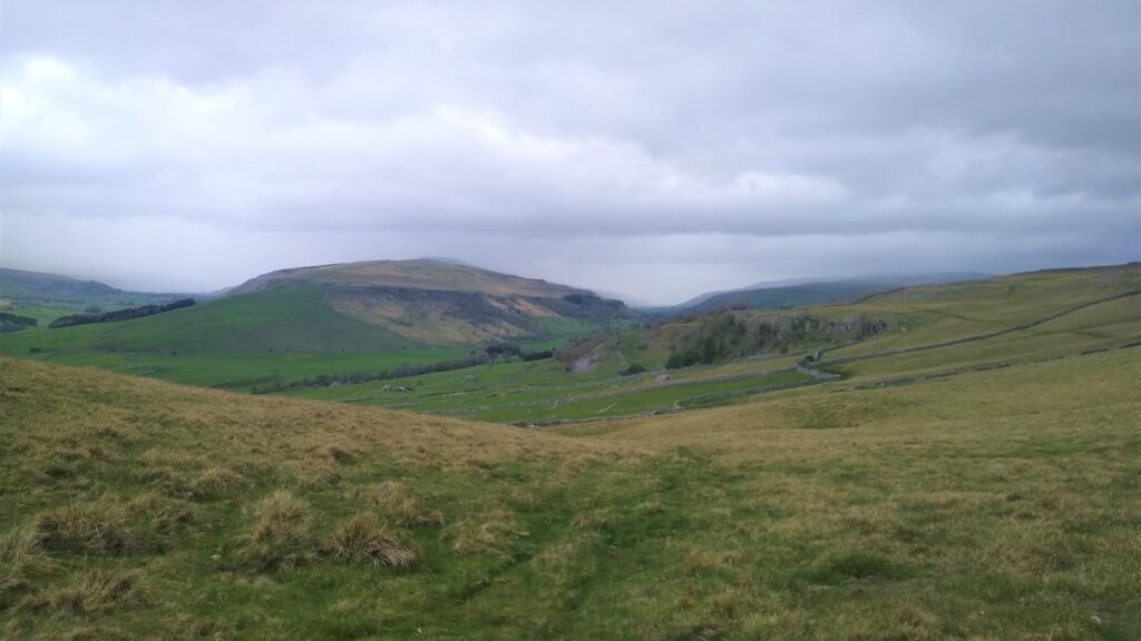
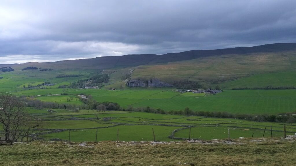
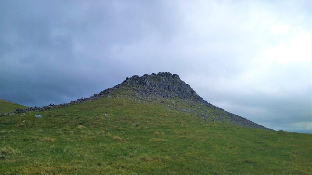
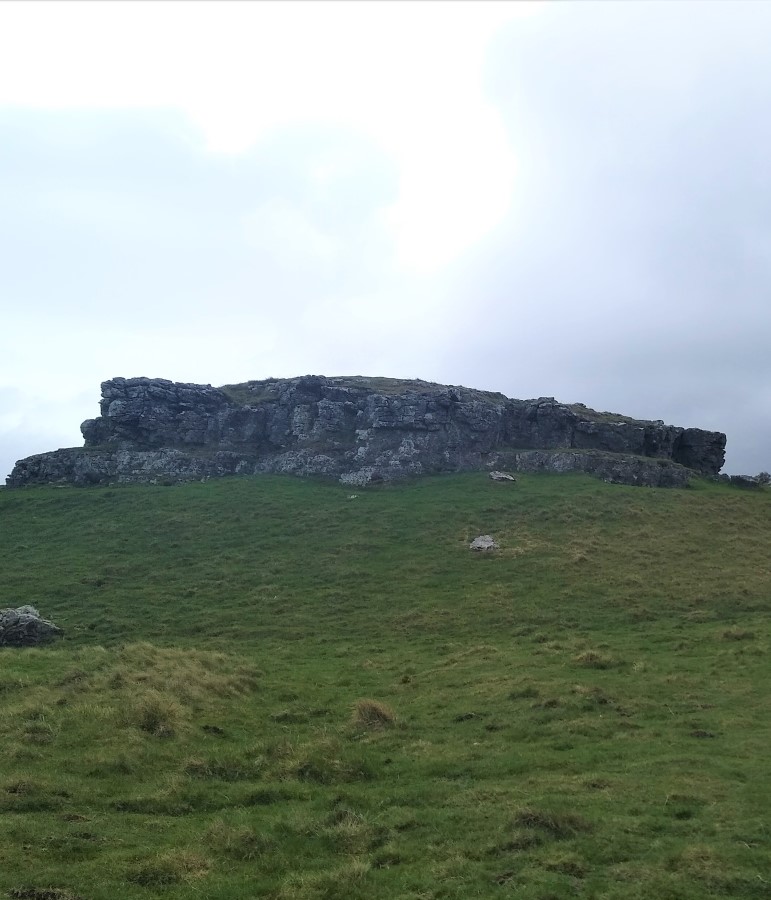
As we continue along the Dales Way, we see Conistone Pie come into view. The Pie is a prominent limestone outcrop shaped, unsurprisingly given the name, like a stand-pie and it commands extensive views of both Littondale and Wharfedale which are divided by the Birks Fell ridge.
The view up Wharfedale extends as far up the valley as Buckden Pike and Yockenthwaite Moor. Down to the left meanwhile is a good view of another of Wharfedale’s finest limestone features – Kilnsey Crag.
From Conistone Pie, we continue to head Southeast along the top of Hill Castles Scar until we meet Scot Gate lane, just below where we had our morning coffee.
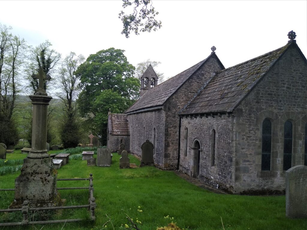
If we felt adventurous, we could clamber back down the Dib, but on this occasion, we opt to turn right down the lane, passing the communications tower at Wassa Hill, so that we can enjoy a different and more gentle view, and so that we see the pretty church in Conistone. Worth seeing inside the church is a memorial to the caving tragedy.
Past the church, we carry on into Conistone where we cross the river and collect our cars.
As an aside, much of this walk under wintry conditions is captured in a YouTube video posted by thetaxidriverj. You can see it at https://youtu.be/ZQP_oDTVffE
- Total distance 11.8 km (7.3 miles)
- Total Ascent 437 m
- Easy walk