The Dent Foot walk that we completed on 17/03/23, connected with two of the three rivers in and around Sedbergh – the Rawthey and the Dee. This walk completes the set by adding the Lune.
We start by heading out onto the fells at the base of Winder, with great views over to the Lune Valley and the disused railway viaduct. We then cross farmland to pick up the Dales Way and have a close look at the spectacular viaduct.
From there we follow the Lune downstream before cutting back to Ingmire Hall. Next, we head down to the beautiful Friends Meeting House at Brigflatts, and finish by following the Rawthey upstream back to Sedbergh. The walk is classified as easy: It starts with a little bit of a climb but after that, it’s all relatively gentle.
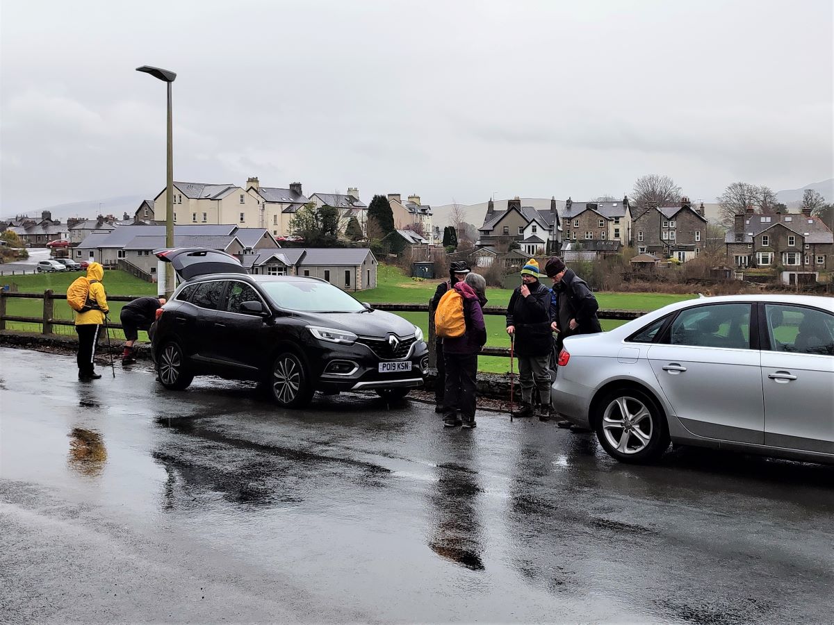
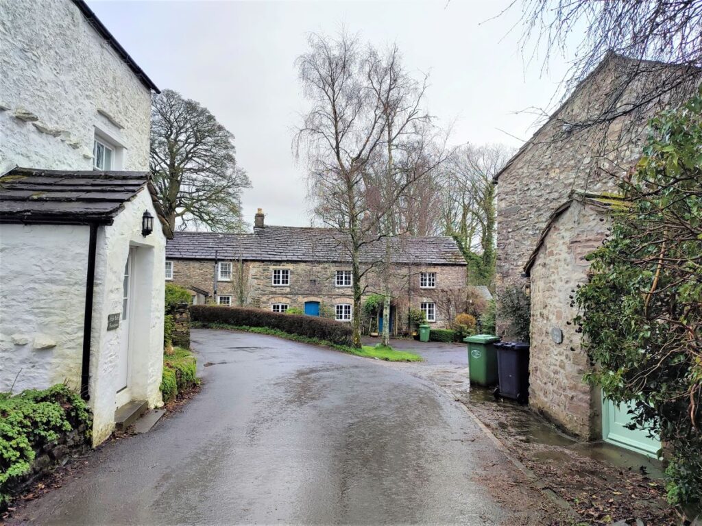
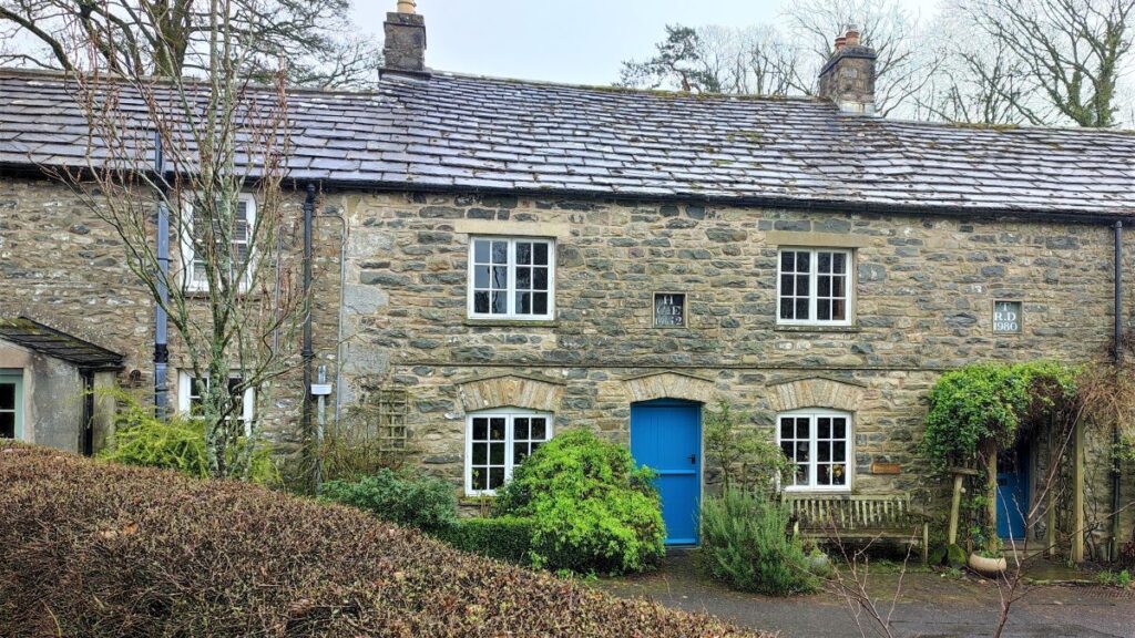
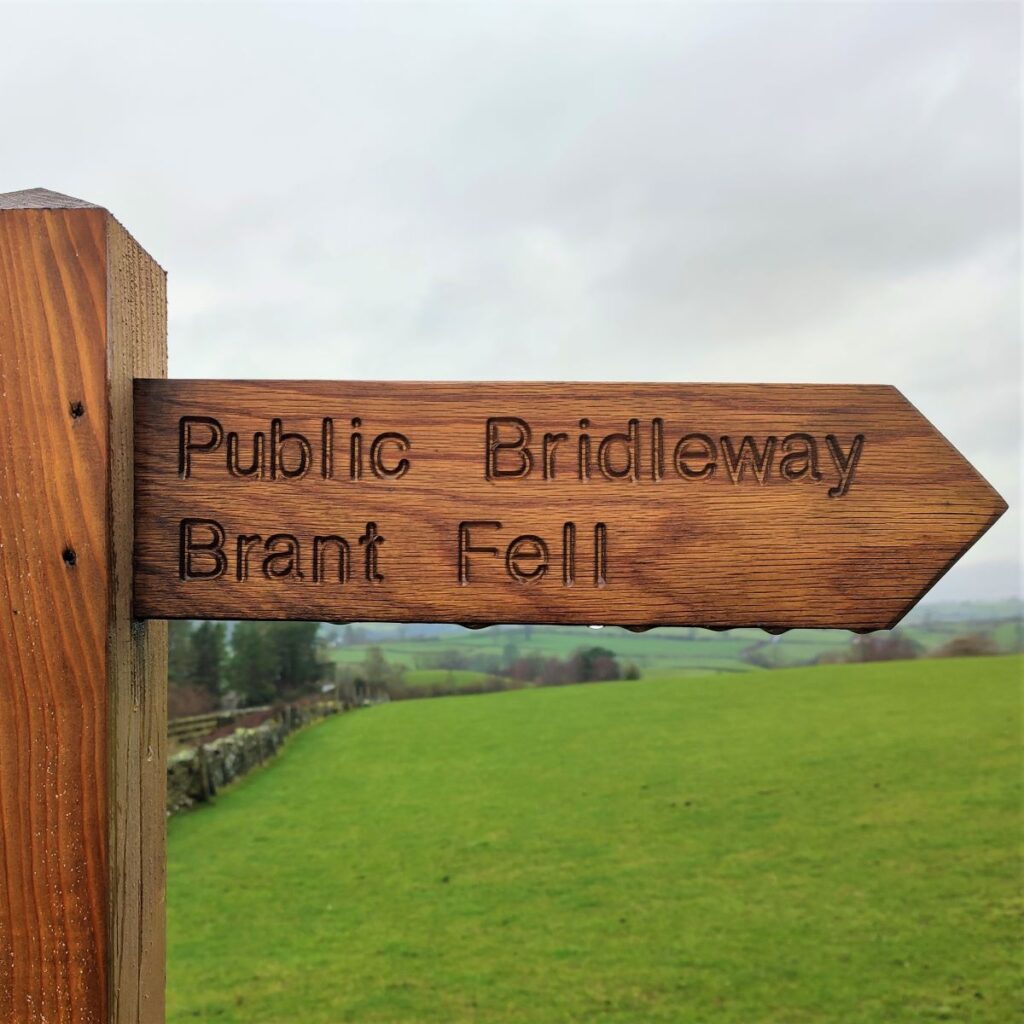
We start in Sedbergh using Howgill Lane as a departure point – roadside parking is free – but as ever, please be considerate to local residents. If you are using Satnav to get to the start, then the address to enter is Howgill Lane, Sedbergh, LA10 5BE. The What-3-Words tag smart.amused.headlines corresponds to the same location as does OS map reference SD65449230.
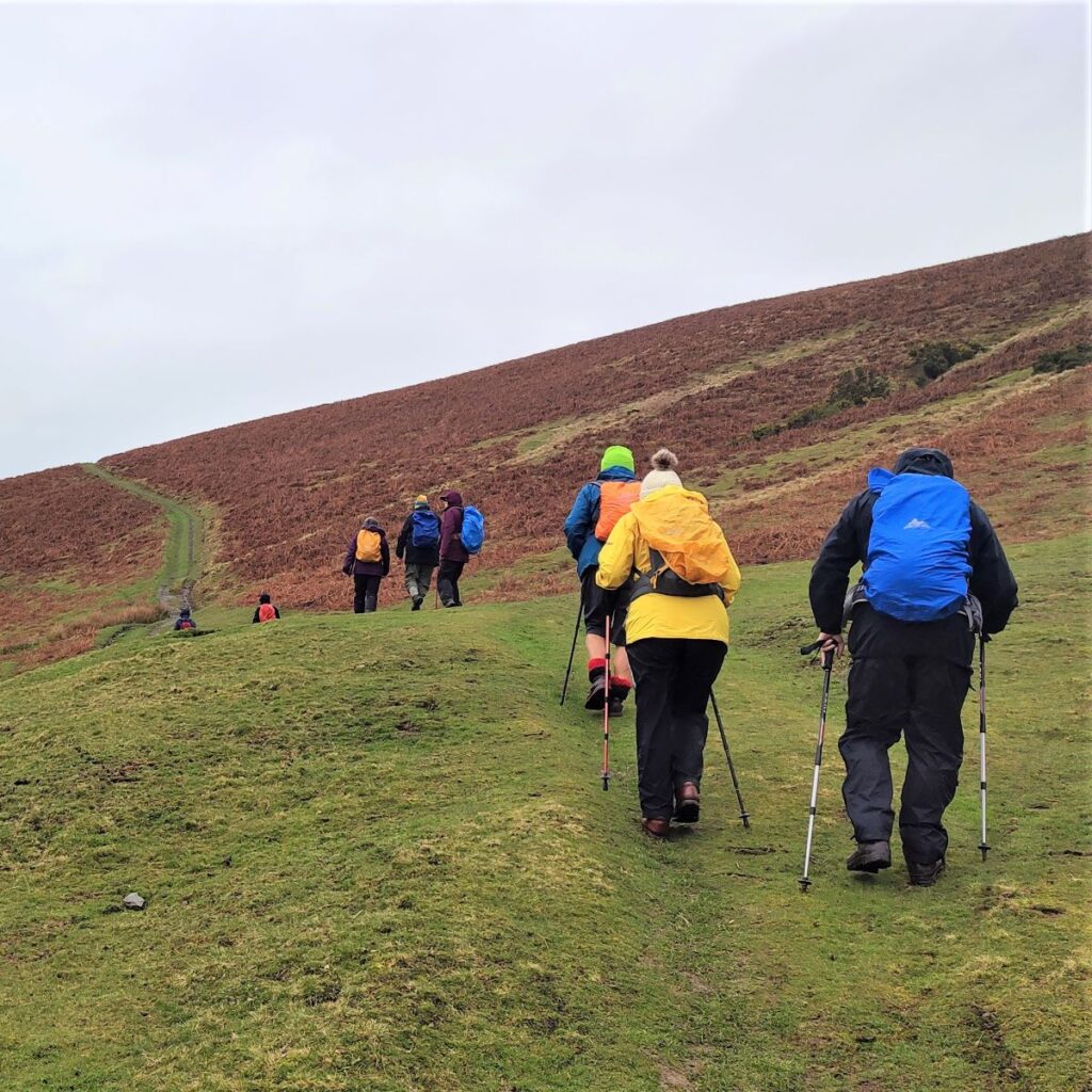
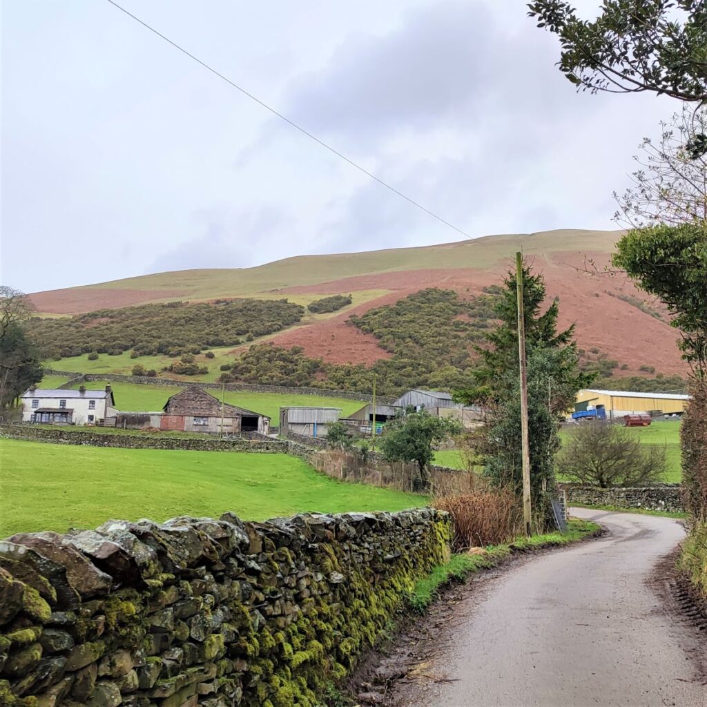
We initially head out uphill along Howgill Lane, passing houses on the left and the Howgill Fells on the right. The view here is dominated by Winder on our right at 473m: We don’t climb Winder on this walk, but Bentham Footpath Group have in the past, and can recommend it.
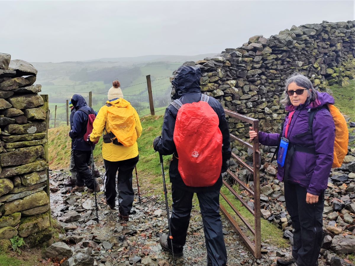
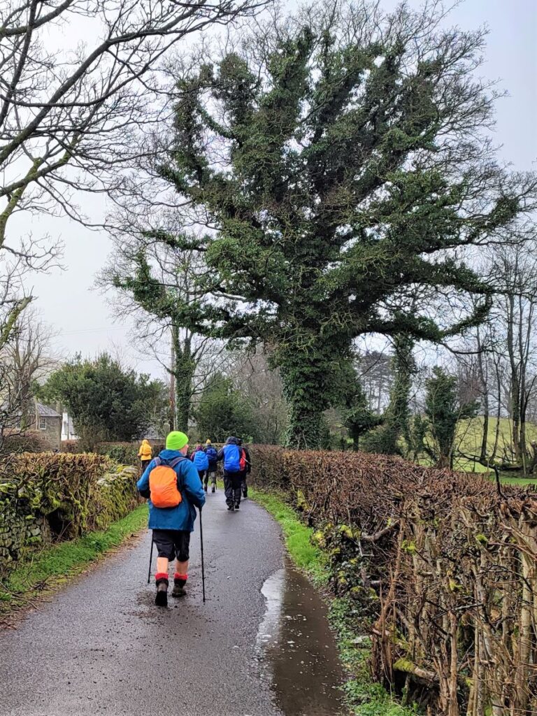
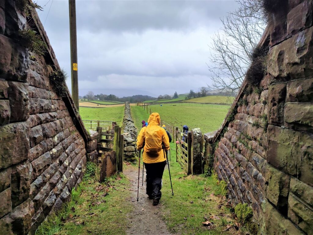
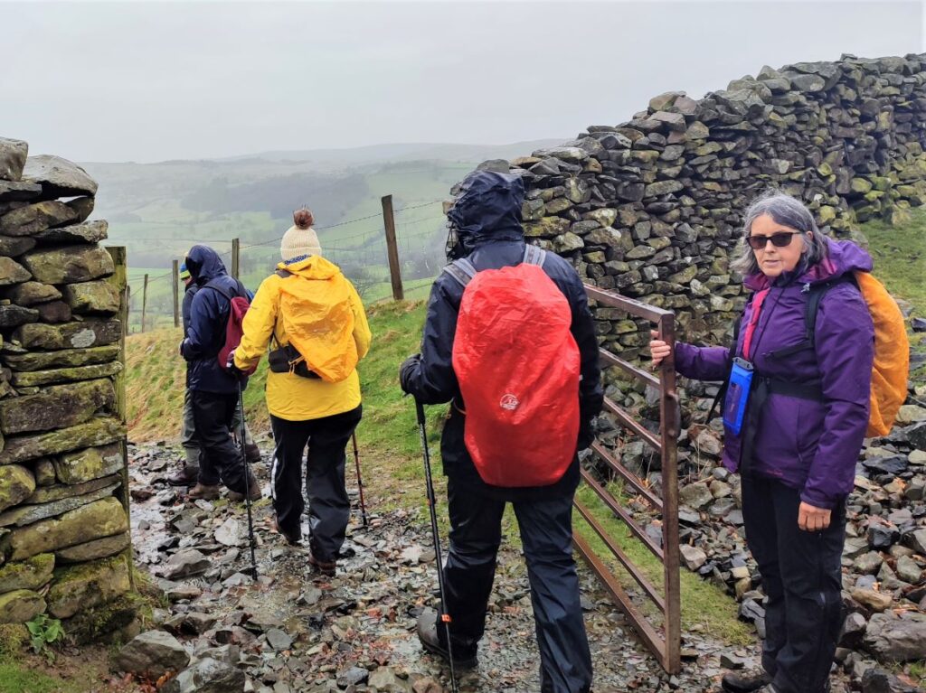
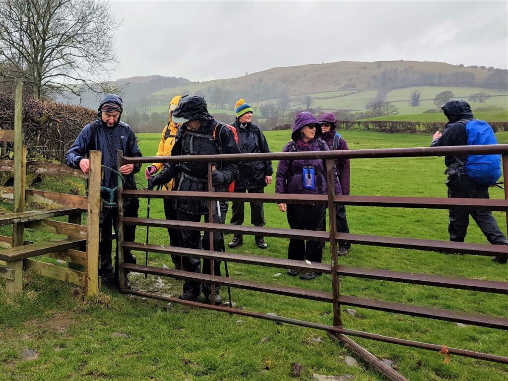
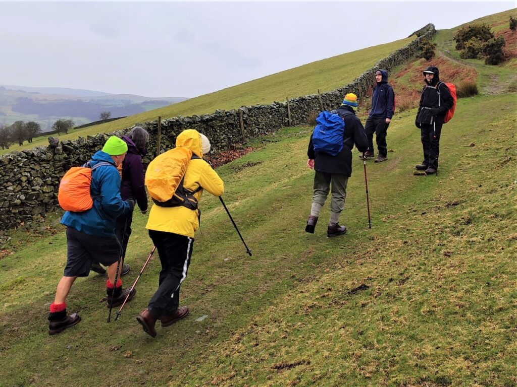
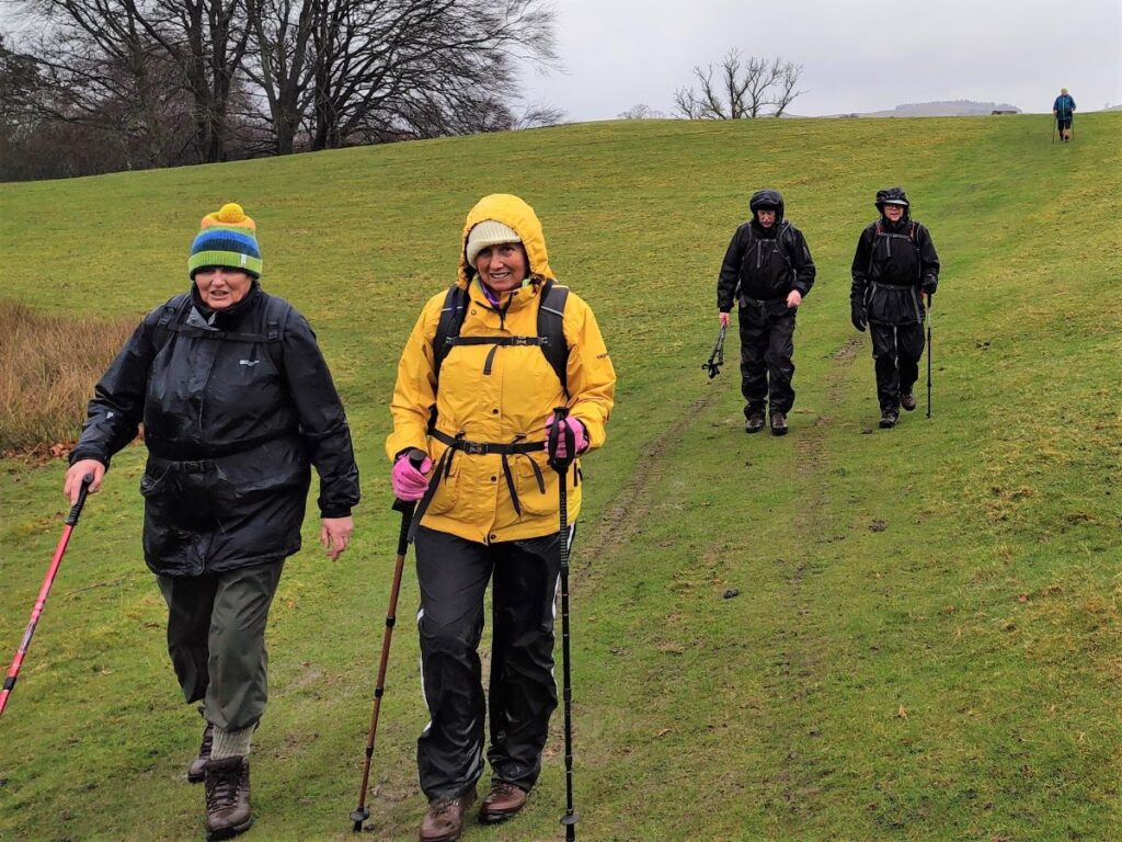
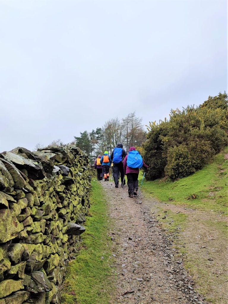
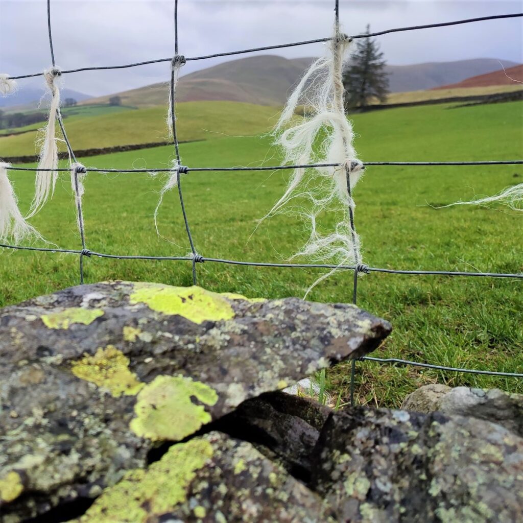
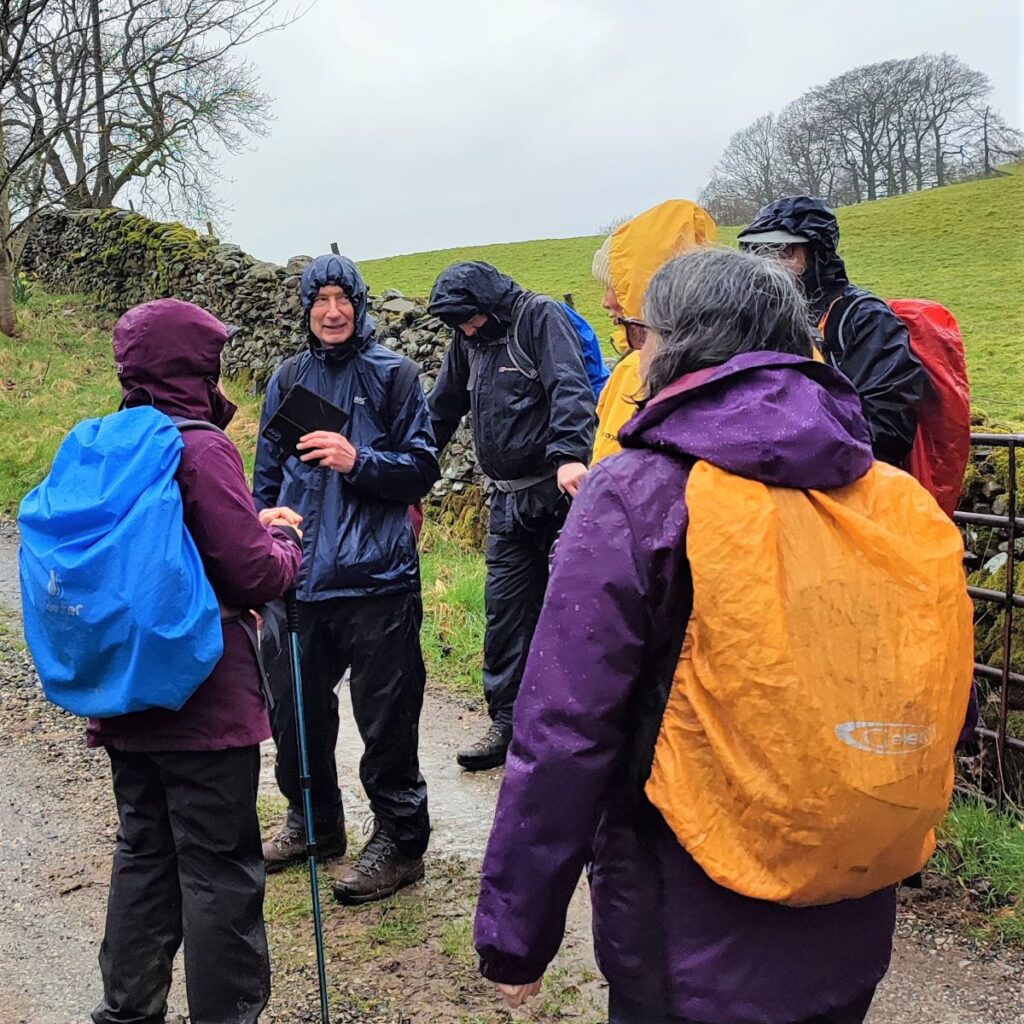
We continue up the road until the end of the housing, where we take a lane forking right which leads us past the back of Lockbank Farm. At the farm we head toward the fells via a pair of metal gates in close succession and then turn sharp left to follow the drystone wall that marks the lower edge of Winder. This is a popular and well-trodden path, so navigation should not be an issue – we initially stay quite close to the wall, but as we climb the path veers a little to the right – just make sure that you don’t stray too far from the wall, and all will be well.
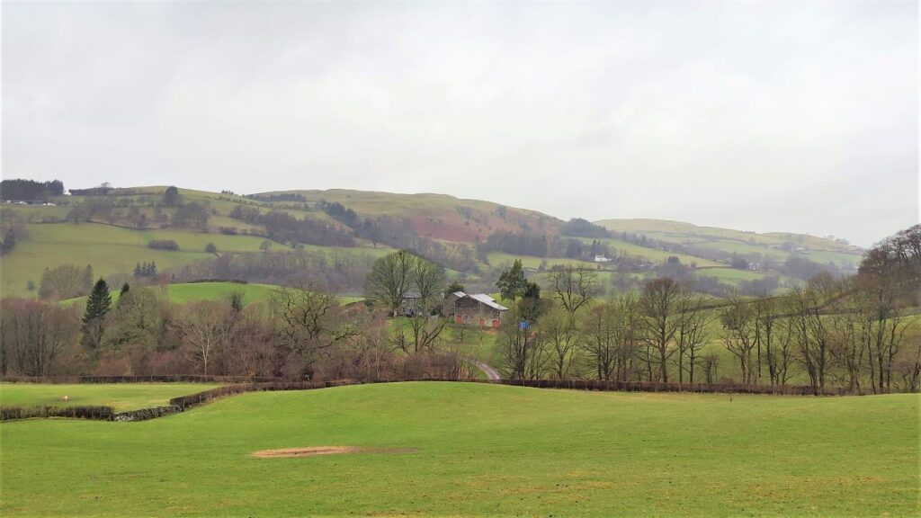
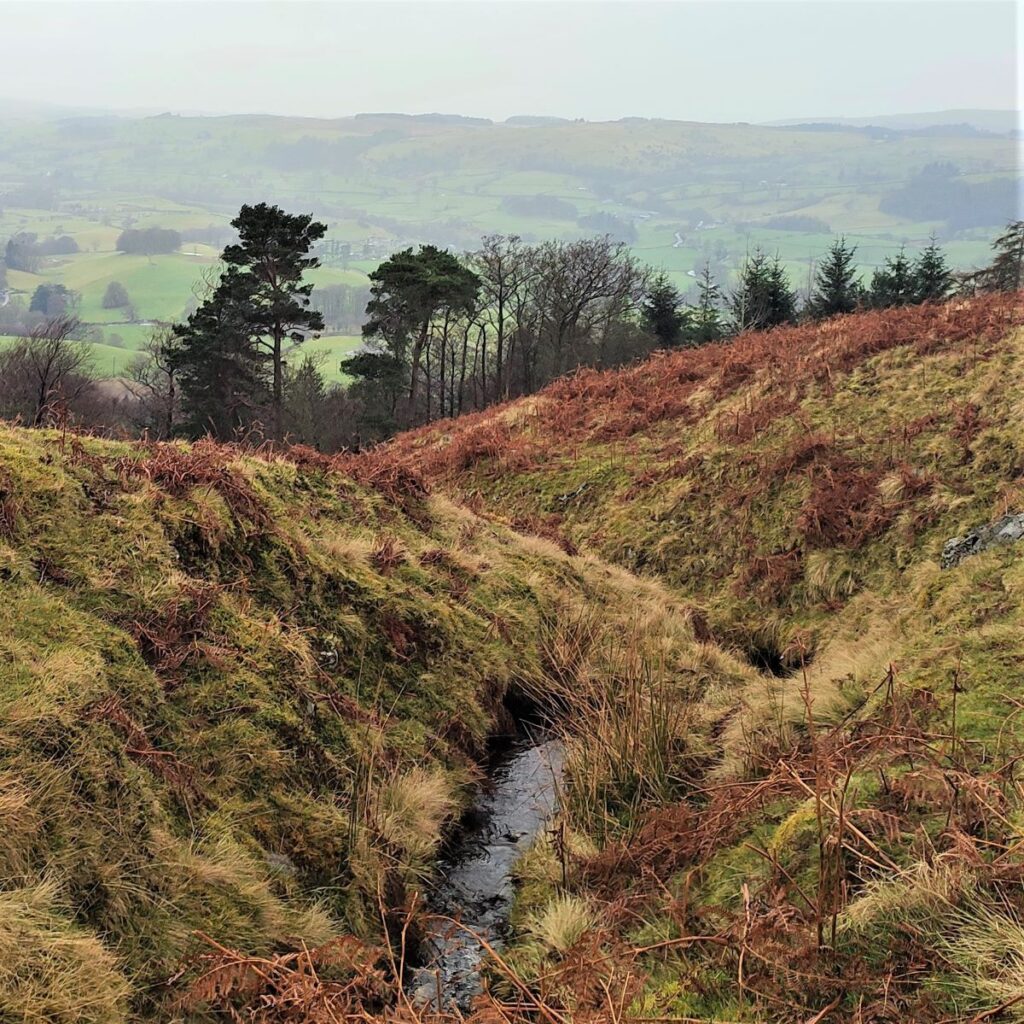
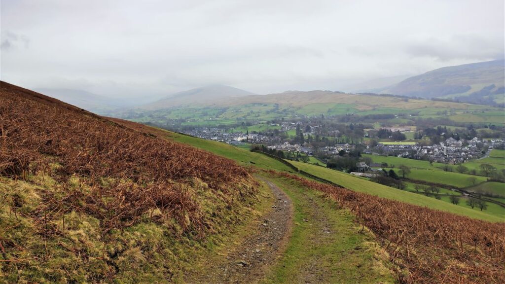
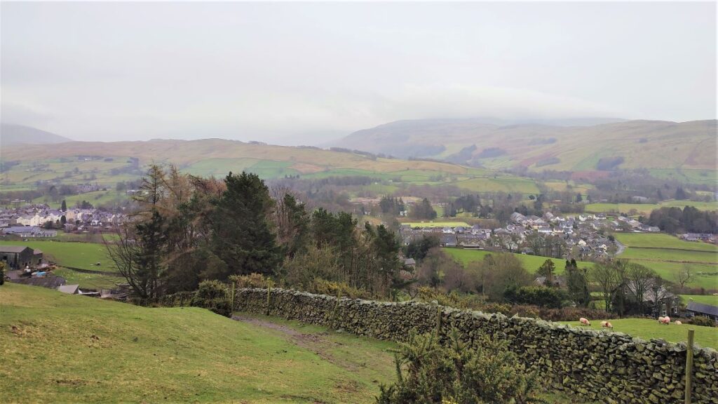
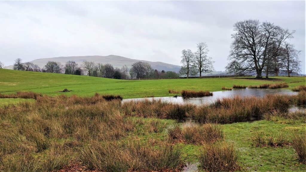
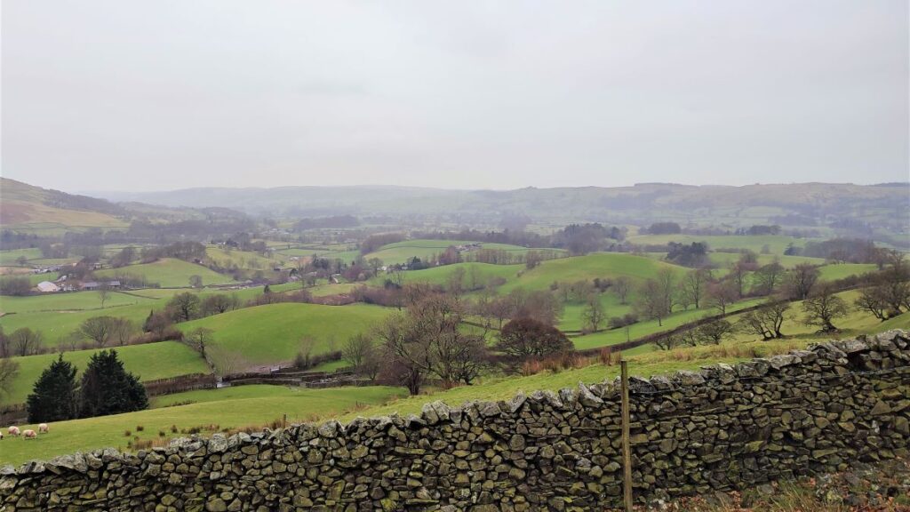
As we rise, we start to get clear views across the valley, with the Lune Valley ahead and to our left. If the weather permits, we get a distant glimpse of the viaduct that we will visit later. Sedbergh is now behind us of course, but the view over the town toward Holme Knott and the Frostrow Fell is worth turning round to enjoy.
After a while, the path starts to come back down to the drystone wall, and ahead we see a gate at the top of a rough lane leading back down to Howgill Lane – it would of course have been possible to walk along Howgill Lane all the way to here, but the view from the base of Winder is much better, and although the road is not busy, traffic free routes are always preferred.
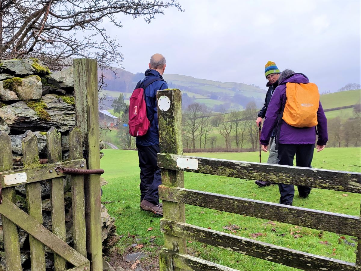
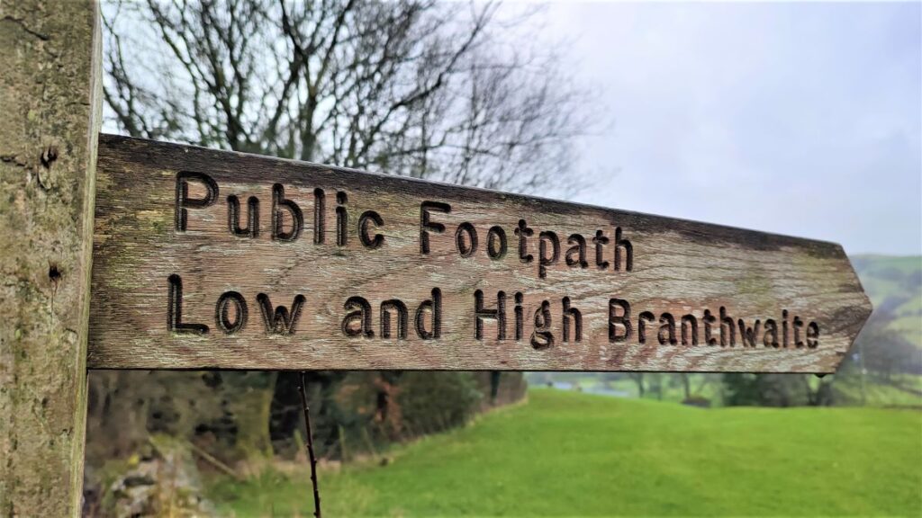
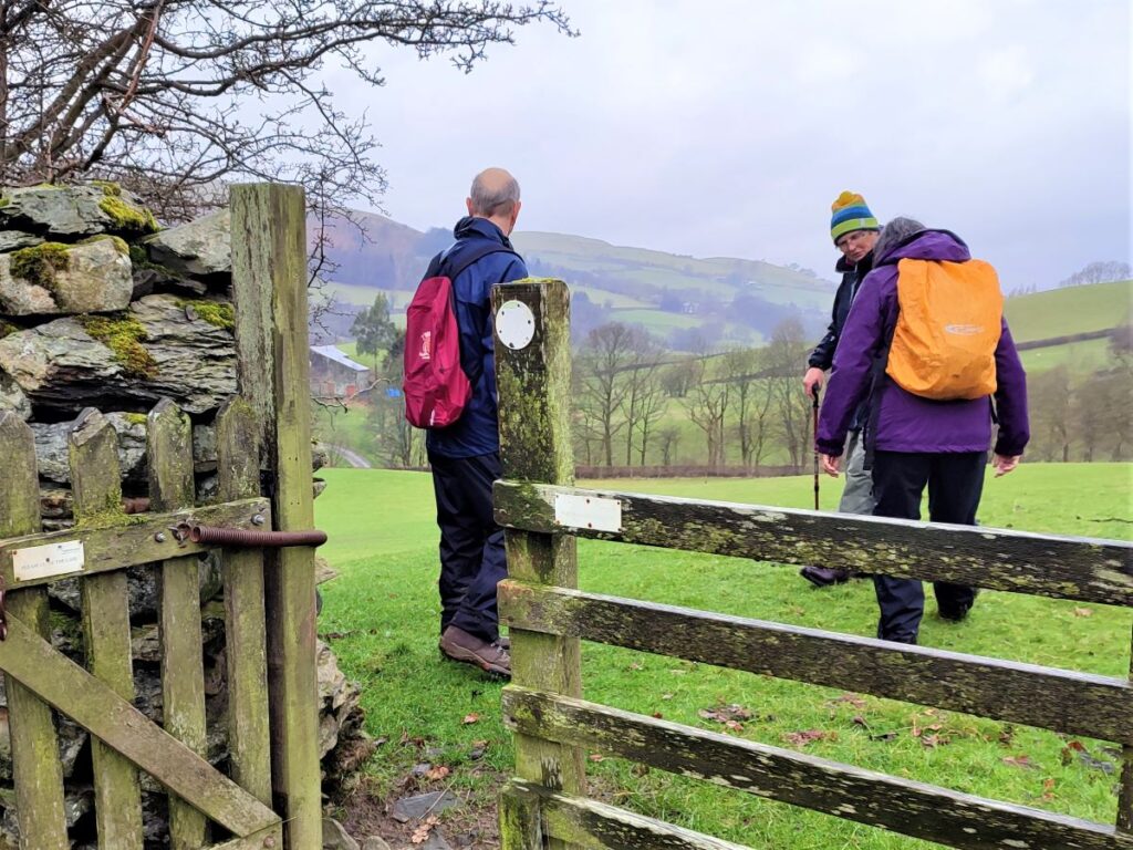
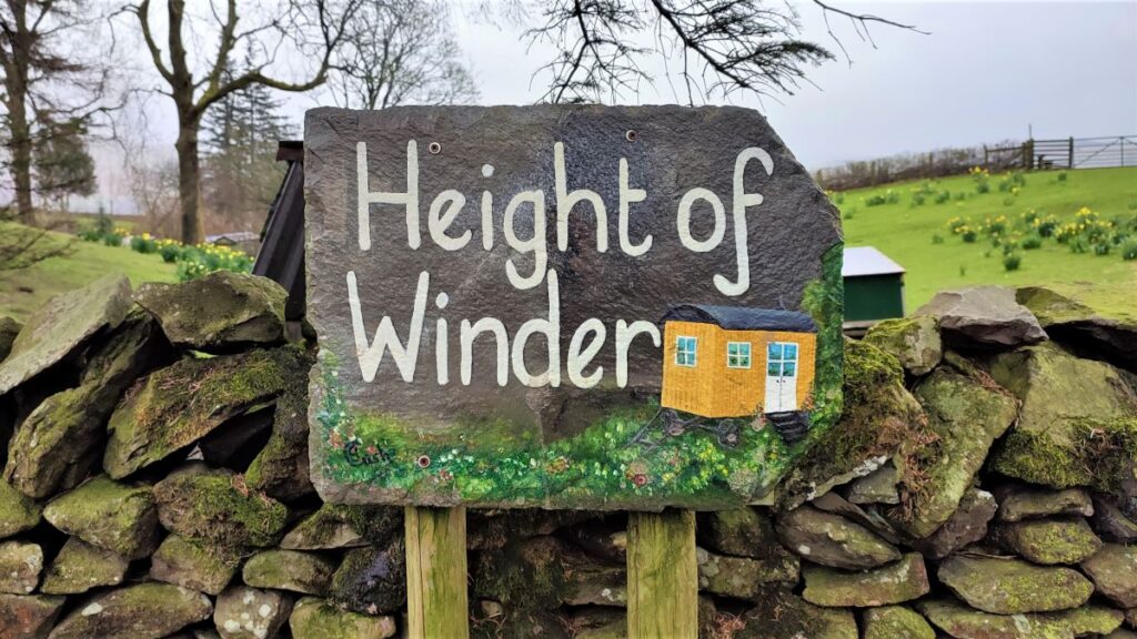
Back at Howgill Lane we turn right and walk along the road for a just a short while. On our left we soon see a farm at Height of Winder where a well-marked footpath takes us Westward through fields toward Low Branthwaite. The path goes around the back of the farm buildings and then into a large field where we head west to cross a stile onto a minor road (Slacks Lane). The stile is not immediately visible – so head for the far left hand corner of the field to find it.
Once at the road, we see a stile opposite and our path continues in an unchanged direction, to pick up a farm track with barns on our right. We follow the track down for a little while, and then spot a waymarked gate in the bottom corner of the field. There are in fact two footpaths exiting this field: The one we want goes to Low Branthwaite, whilst the one further to the right goes to High Branthwaite, so make sure you exit the field via this gate at the bottom corner. If you did want to go via High Branthwaite or you take the wrong path here, then simply turn left when you get to the minor road to get back onto the correct route.
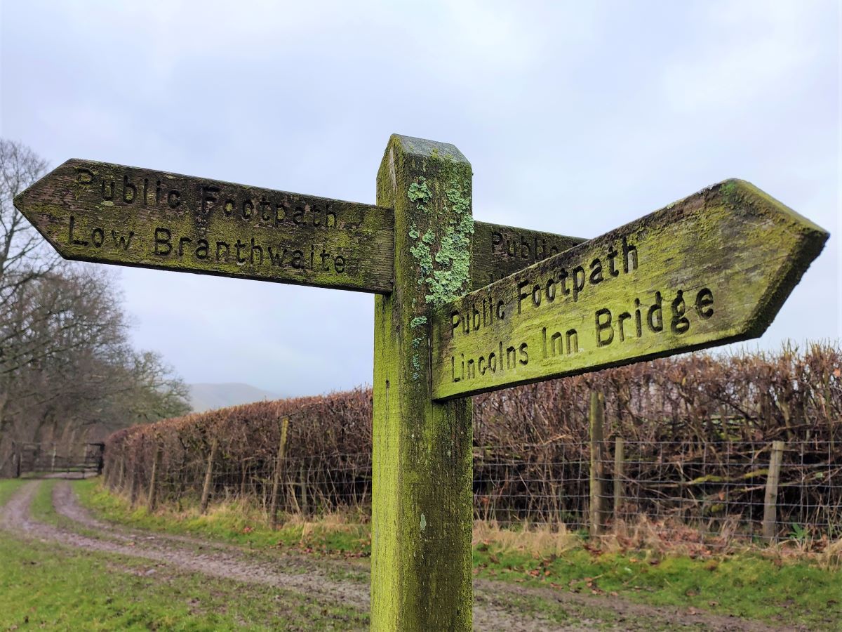
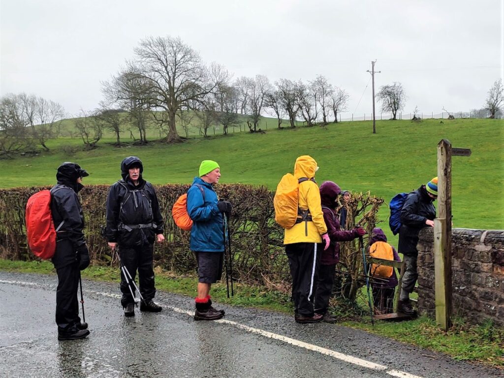
At the bottom of the next field, we exit onto a track and find a way marker showing us a good choice of paths. One of the options is Lincolns Inn Bridge. We will visit the Bridge later in the walk, but we prefer not to take that path now, as it misses the walk under the Railway Viaduct. So, we take the option signed as Low Branthwaite which takes us to a very small road that crosses a beck at a stone bridge before climbing toward a cluster of houses.
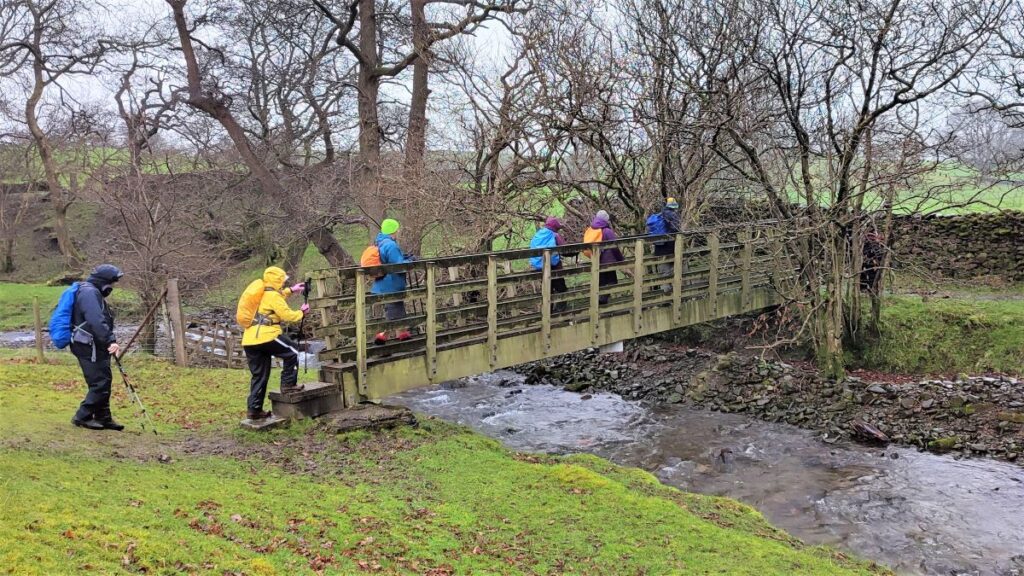
As we approach the houses we see a way marker for the Dales way, where we turn left and head over a stile and then along the hedge line for a while.
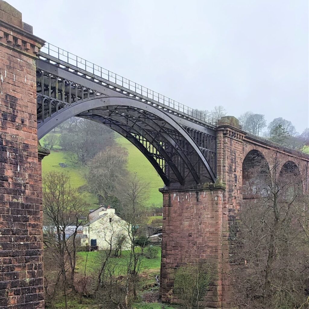
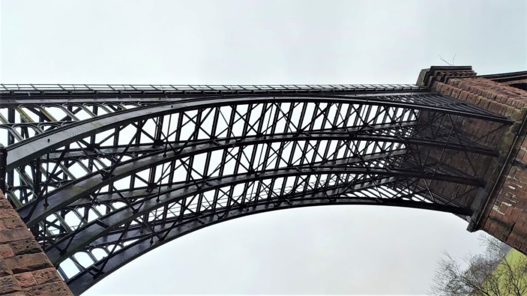
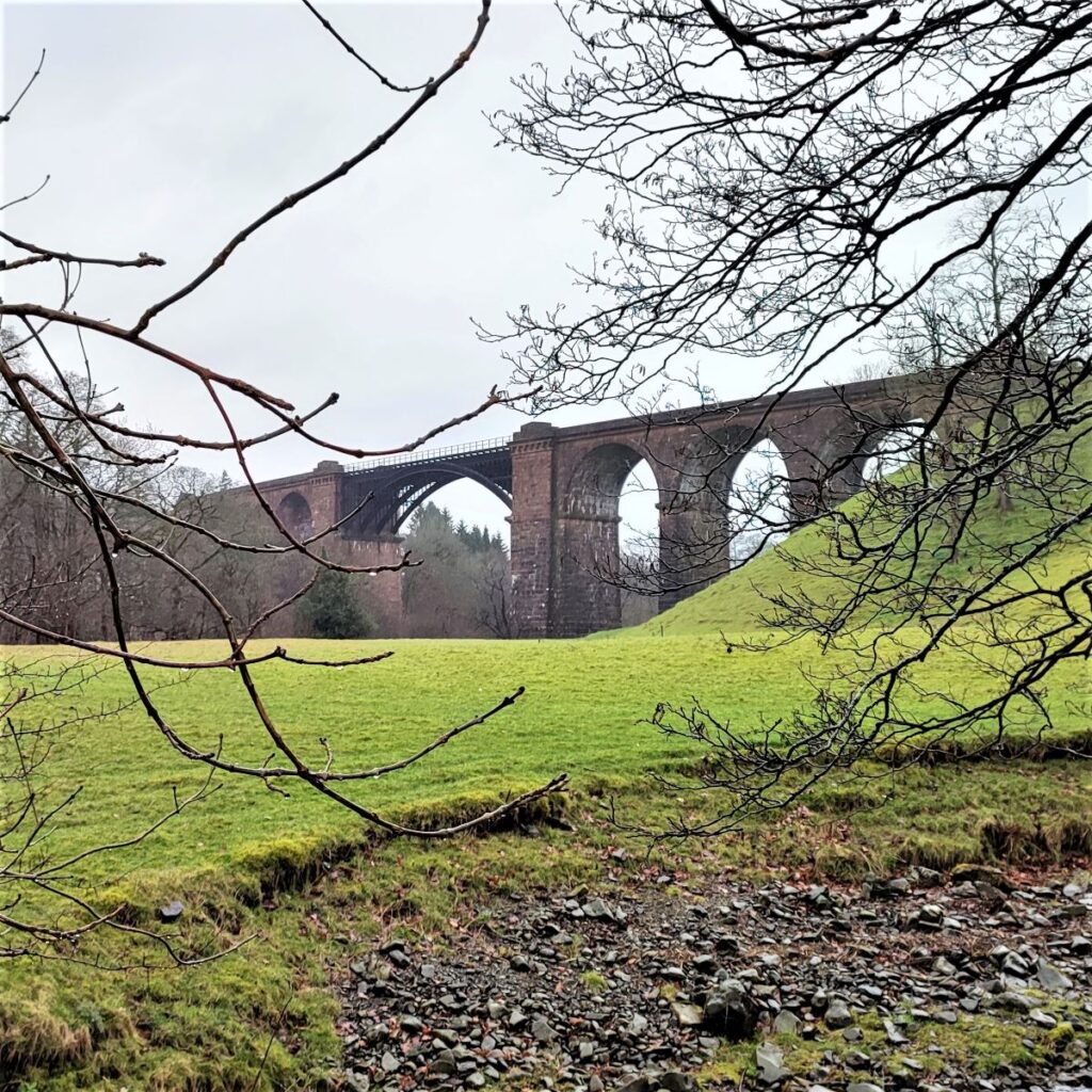
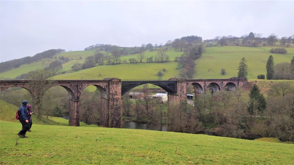
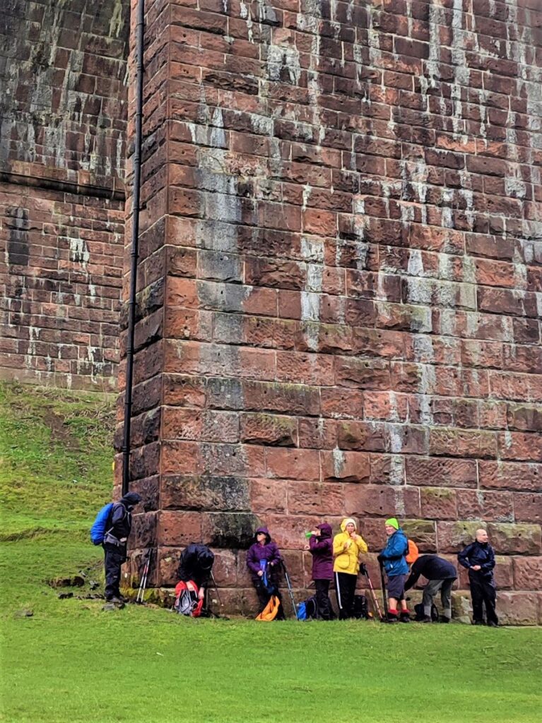
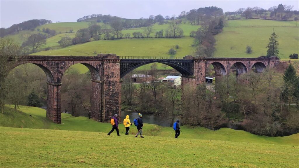
We find a gate at the end of the field and from here the path curves round to the right before the viaduct comes into view. This spectacular structure was built to take the Ingleton Branch of the North Western Railway over the River Lune.
Opened in 1860, the line ran went from Clapham, through Ingleton, Kirkby Lonsdale, Barbon, Middleton-on-Lune, Sedbergh and Lowgill, before joining what is now the West Coast main line, just south of Tebay.
Passenger services ended on 30th January 1954, and the line finally closed in 1967. So, the line failed commercially even before the infamous Beeching cuts of the mid 60’s.
The most impressive features of the line are the railway’s three listed viaducts. These grand structures still dominate their landscapes and all are well worth seeing. The focus of our walk today is the Waterside Viaduct built between 1857 and1861, by Joseph Locke and John Errington. It features a cast-iron central span supported by stone pillars – both ornamented in a way that would never happen in our dull but cost-efficient times. The structure is unsurprisingly grade 2* listed.
Also worth seeing further up the line is the Lowgill viaduct – famous for the height of the pillars, and the similar but perhaps slightly less impressive bridge over the Rawthey at Sedbergh, (more on this later).
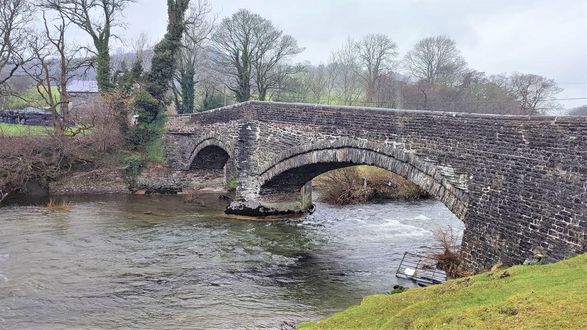
The viaduct is good place to take a break and to enjoy the views before following the river downstream still on the Dales Way. The path initially takes us over a wooden footbridge before following the course of the river down to Lincolns Inn Bridge – another grade II listed structure.
Note that the Dales Way meets the A684 at the Eastern end of the bridge and then continues via a stile on the far side of the road – so there is no need to cross the road bridge, but it is worth pausing in the field beyond the stile to view the bridge properly: It is believed to date back to the 17th century, and is built predominantly of mixed random rubble, with parapets of coursed rubble. There are two low segmented arches of unequal width, with stepped rubble voussoirs – the wedge shaped side pieces that support the weight of the arch. The parapets to the longer eastern span are horizontal, those to the shorter western span slope downwards – both sections of parapet appear to be more recent repairs.
The origin of the name Lincolns Inn is uncertain, but could be as simple as surname of the owner of a wayside Inn in earlier times.
The path now heads Southwest, and initially follows the riverbank, but soon leaves it and heads slightly to the left – it’s very clear where the path is, and there is plenty of signposting, so navigation should not be a problem.
We cross a stile into a flat field and walk around the outer edge of the field toward the farmhouse at Luneside. It is tempting to take the farm lane back down to the A684 here – and this is indeed a public footpath, but we need to take care to take the Dales Way between the farm buildings and out onto a narrow track, heading Southwest.
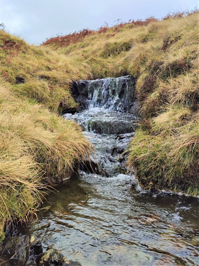
We continue along the track – which narrows to a path after a while. We are following the River Lune still, but it’s not visible at this point.
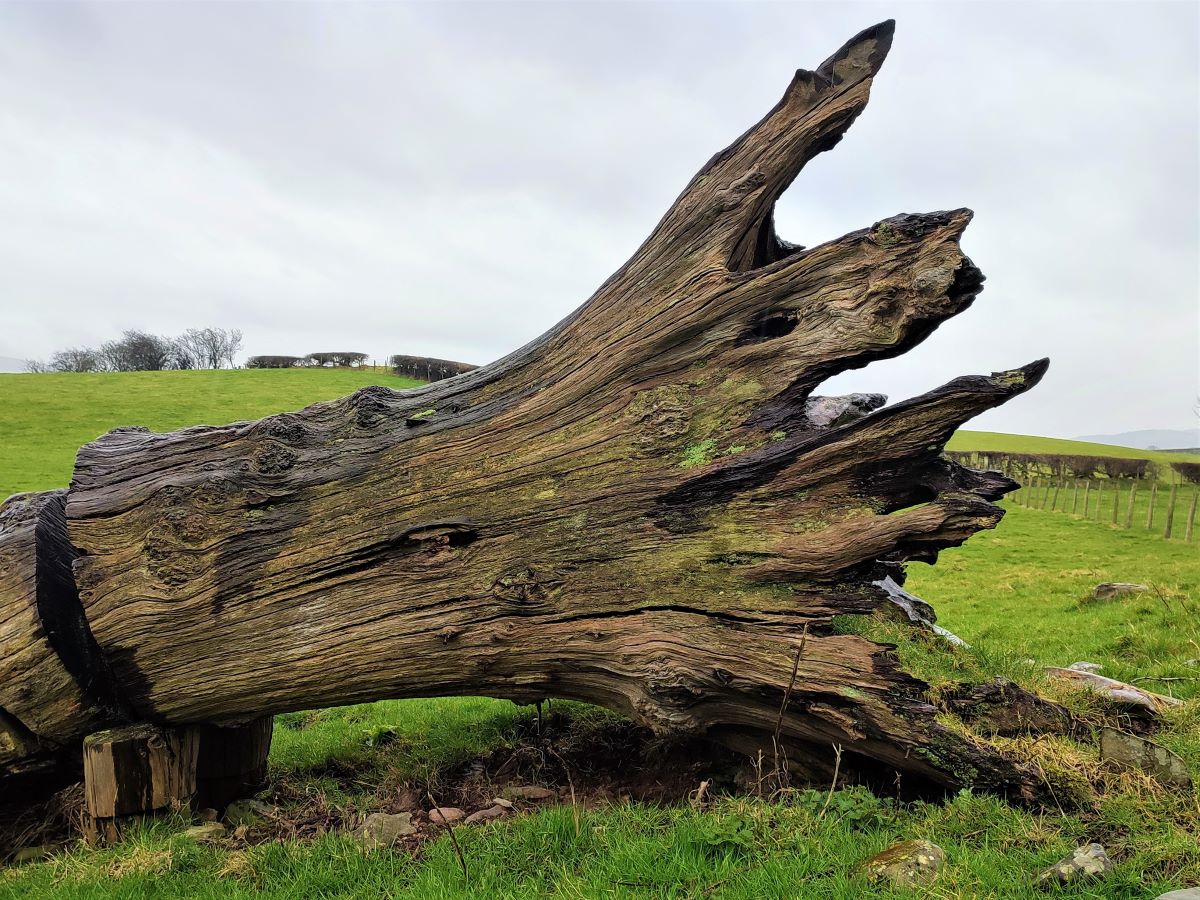
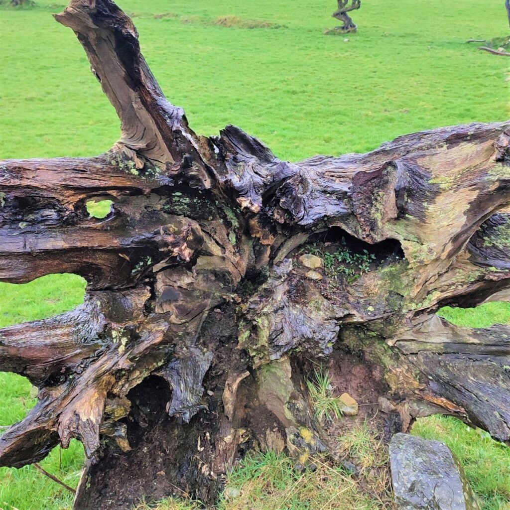
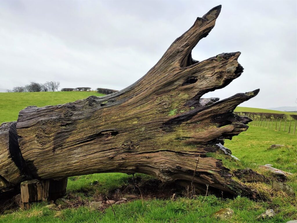
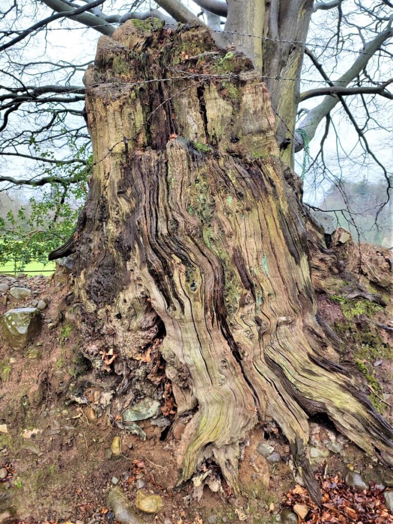
After a while, the path approaches a gate, where, on our left, we see a rotting tree stump. At this point the Dales way meets another less used path, and we need to go through the gate and then immediately back on ourselves over a stile to head in what is very nearly a reversal of our earlier direction. Some effort can be saved by clipping the corner of the field at the tree stump if you wish.
From here we aim to the right of a stand of trees over meadow that can be quite boggy at times. The direction of travel is now Northwest, and we are helped by way markers at each field boundary. A farm, with a recently built haulage yard soon comes into view, and we pick up a lane to the left of the buildings to head down to the main road – the A684 again.
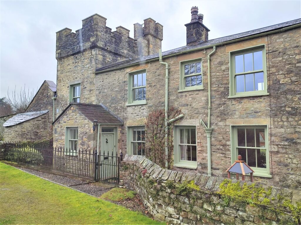
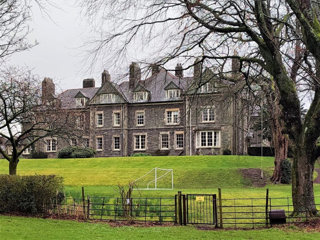
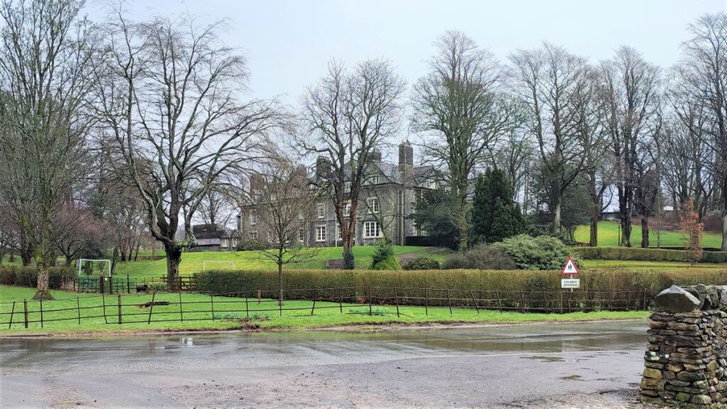
We turn right on the main road, but leave it again almost immediately – again on the right to take a narrow lane toward a curious castle like structure. This cottage is part of the larger complex of buildings that are Ingmire Hall – relatively little of it is visible from the road or public footpaths,
Ingmire Hall is a 16th Century house built around the remains of a pele tower. The mansion was enlarged in the early 19th century, and then extended in about 1900. It was largely destroyed by fire in the 1920s before being rebuilt and extended again.
We continue down a narrow, and clearly ancient lane flanked by magnificent gnarled beech trees until we arrive at the A683.
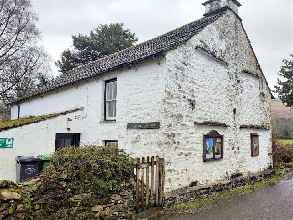
Here we turn left and walk along the main road for a short while – this needs some care because the road is busy, and there is no footpath. The on-road section is short however, and we soon see a sign indicating the Friends Meeting House on the right – this takes us down a very quiet narrow lane toward Brigflatts.
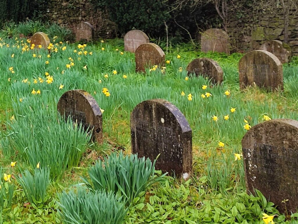
We find the Quaker Burial Ground on our right, and this tranquil site is a good place to pause. Despite being relatively small in area, a discrete information board tells us that more than 700 persons are interred here.
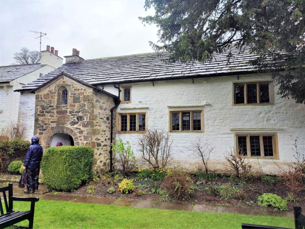
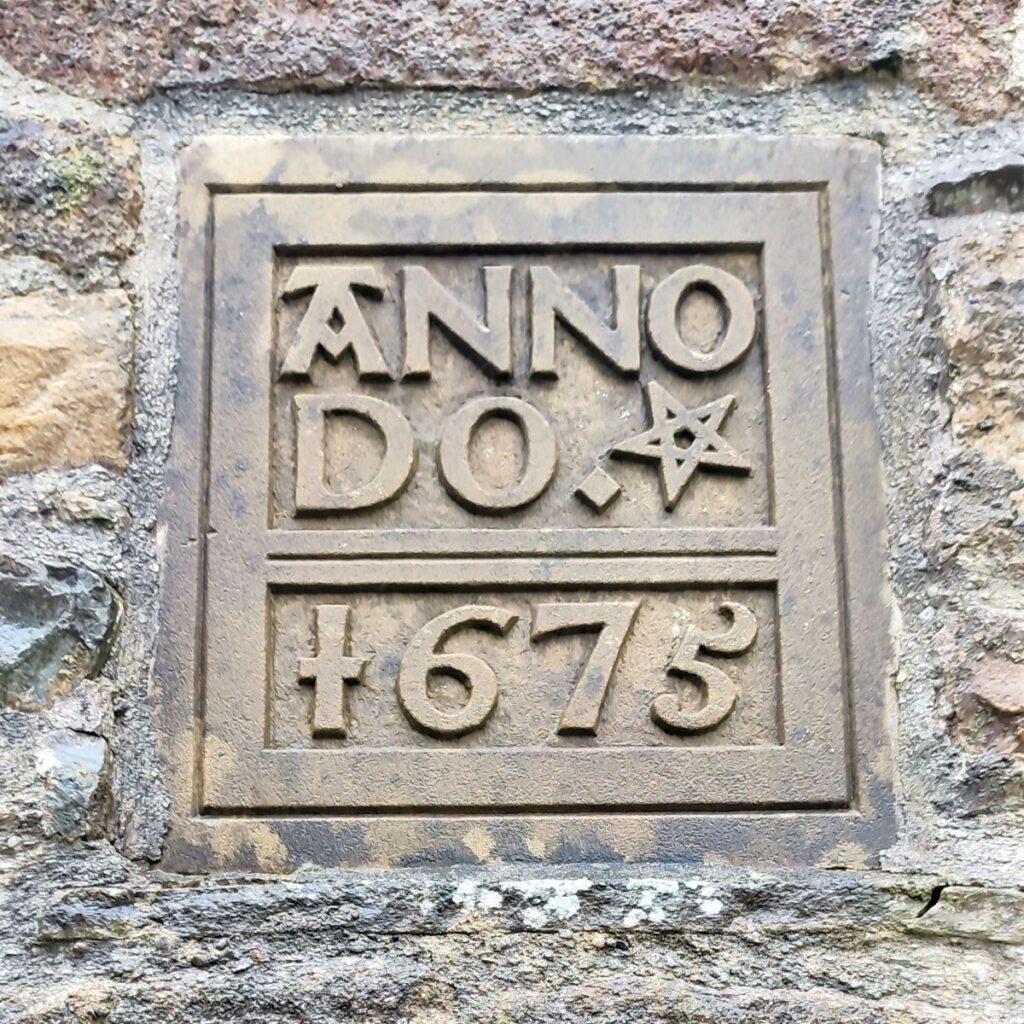
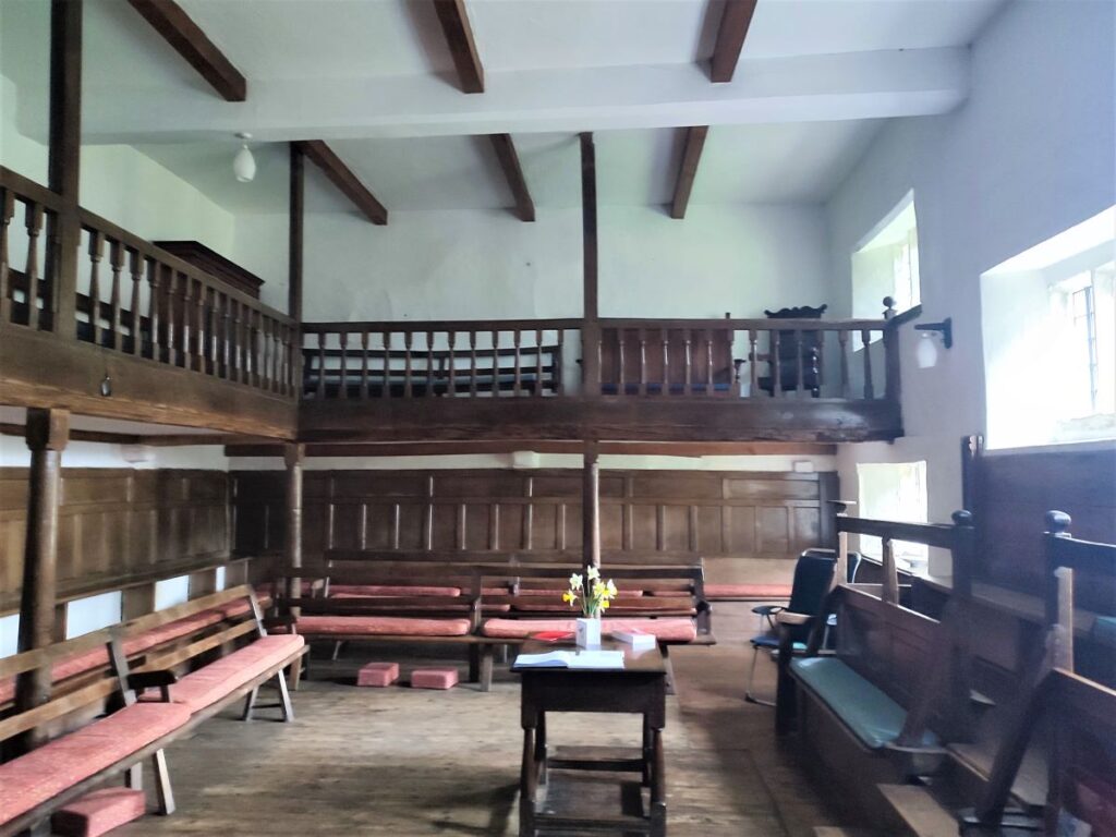
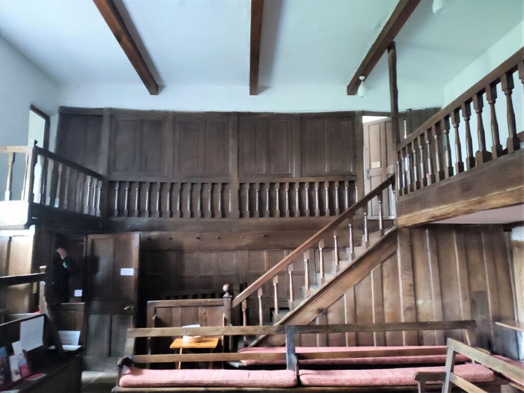
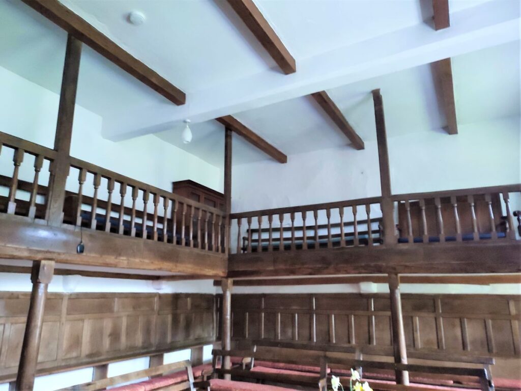
Further down the lane on the left is the Meeting House Itself. The grade I listed building dates from 1674, and is of international significance to the Quaker movement – one of several landmarks in an area which was so pivotal in the birth of the Society of Friends.
Rather than try and summarise the history and importance of the site here, we simply suggest that you visit the society’s excellent website by clicking here.
From the meeting house, we initially head back up the lane and then take a waymarked path just opposite the burial ground. This takes us across fields and toward the track bed of the old railway line, where we find a small tunnel under the line with the path continuing beyond, through fields as far as Birks. Before we go that far though, it is worth looking to the right to see the railway viaduct (as mentioned earlier) crossing the Rawthey – if you wanted to take a closer look, a short stroll down the rail bed to the bridge before returning is an easy addition.
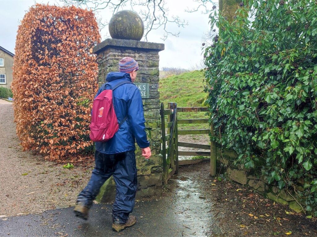
Once we meet the road at Birks, we follow it round to the left until we find the entrance drive to Birks House – just to the right of the drive is a pedestrian gate giving access to the public footpath that comes around the front of the house and then heads into Sedbergh.
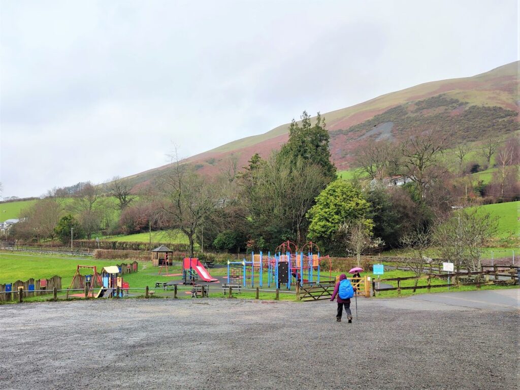
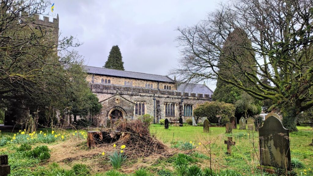
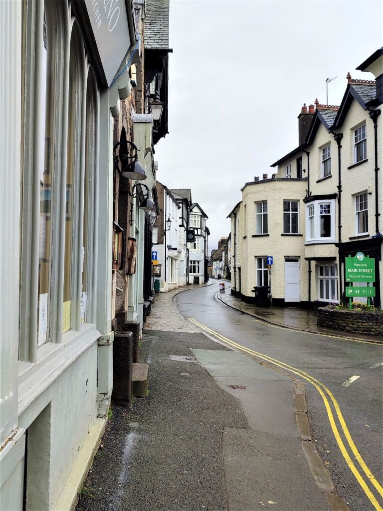
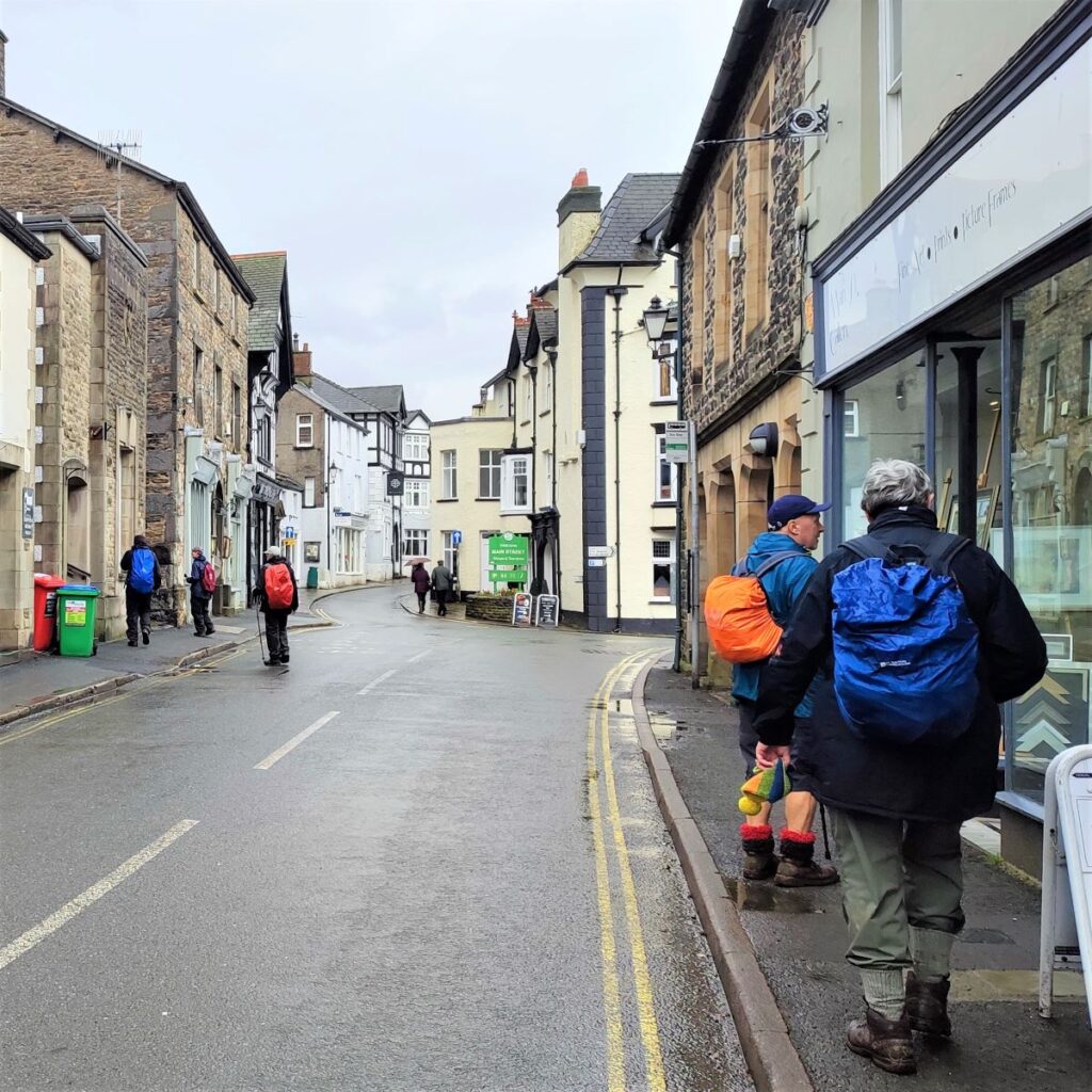
The path passes the sports centre for Sedbergh School, and then meets a minor road. We cross, and continue on the far side taking a clearly signed route through the school buildings and over to the church of St Andrew where a path behind the church brings us onto main street Sedbergh.
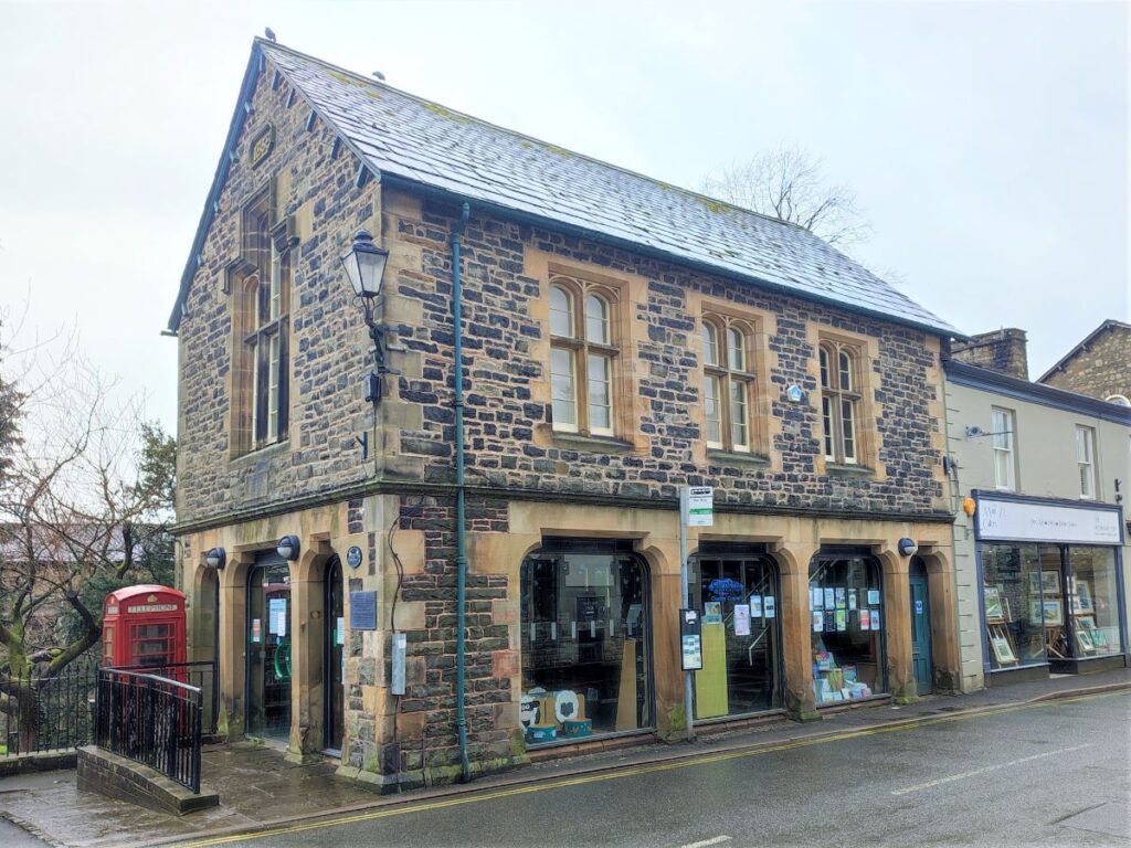
It is worth taking a few minutes to explore Sedbergh, before returning to this spot to take the alley opposite the Tourist Information Centre which leads up to Bainbridge Road – we cross here and continue on a second walkway to meet Fairholme where we turn left and walk to the end where we encounter Howgill Lane once again. From here we head right and back to our starting point.
Total distance 10.1 km (6.3 miles)
Total ascent 248 m
Easy walk
Note that the route shown below includes a short detour into Sedbergh – obviously that’s optional.
Having completed the walk you may feel that you have earned a delicious locally-made ice cream. If so, be aware that Howgill Fellside Ice Cream is based nearby at Lockbank Farm.
Walk or drive up Howgill Lane, past the farm track we used at the start of the walk – the entrance to their yard is the next right.
Bentham Footpath Group have sampled their delights before and they are highly recommended. Click here to see their website for opening times, flavours, recipes and more. They are generally open at weekends during the summer. The Spar in Sedbergh is also a stockist.