In the summer months, the light allows for walks that are longer, more challenging and which start from points that are farther from sunny Bentham.
This is the case for this varied walk in Wharfedale that covers rough moorland and a pleasant riverside view, with industrial and medieval heritage and wildlife.
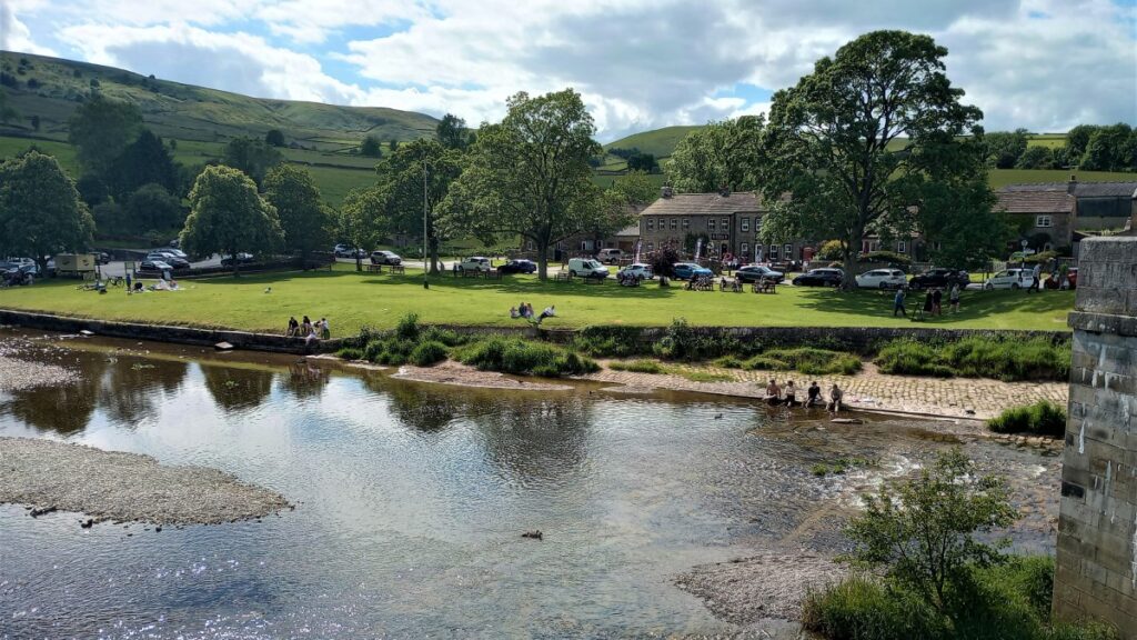
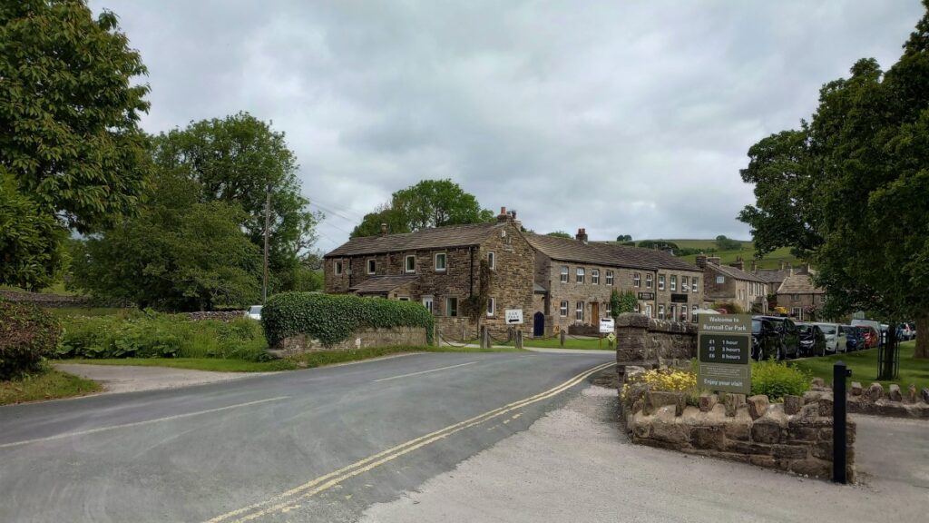
We start in Burnsall village, at the pay car park at the Riverside Café – £6.00 per day when we were there but other “pop-up” parking at various prices may be available, depending on the day & the weather. The toilets by the café are run by the village on a donation scheme but be aware they close when the café closes!
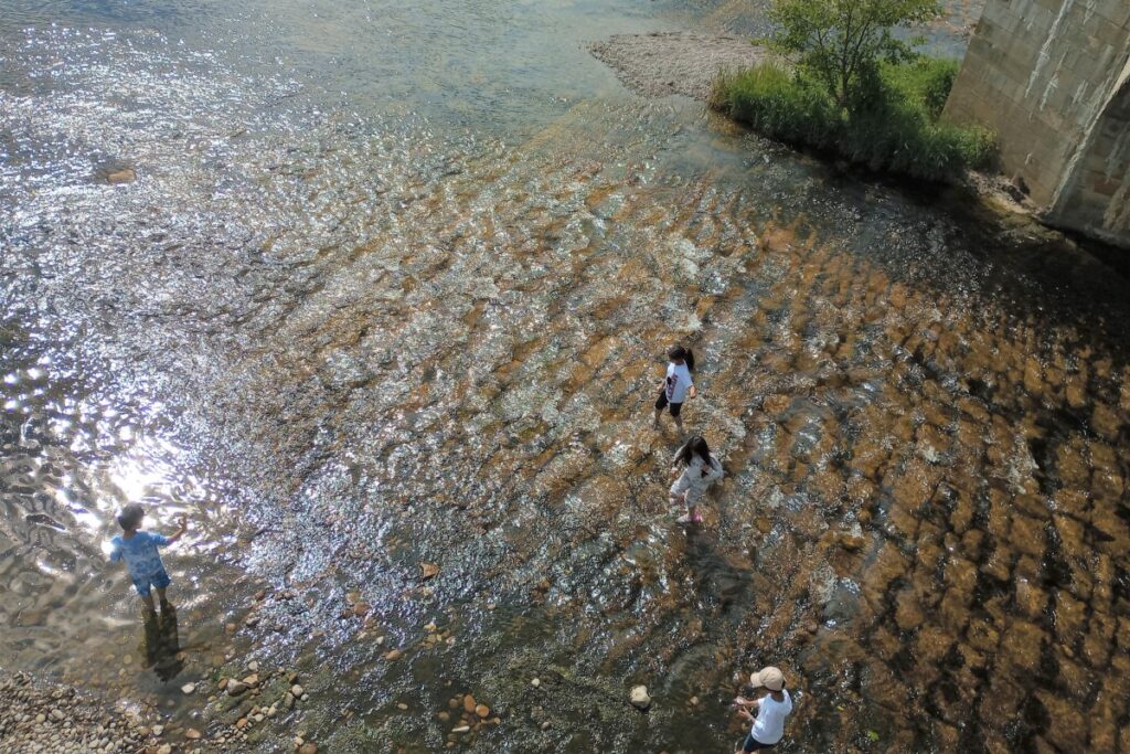
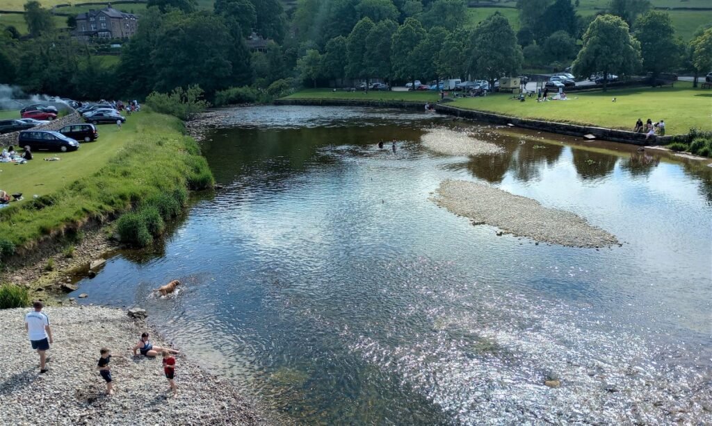
Burnsall is a lovely spot and draws the crowds to the river & pebble beach.
Sat Nav users will find that postcode BD23 6BS gets them to this spot along from the bridge, whilst the What-3-Words tag gosh.roadblock.pelting or grid reference SE03346077 adds some precision.
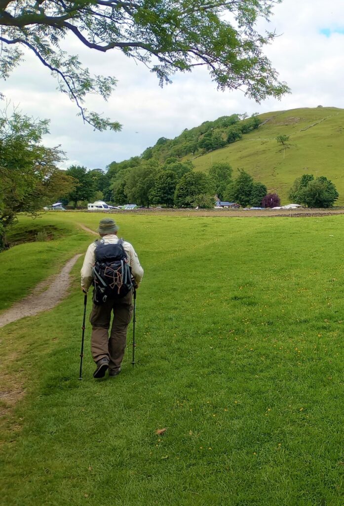
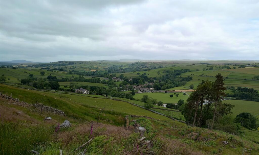
From the car park we turn left, to walk up the minor road that leads to Barden Tower, passing the Devonshire Fell on the right. There are great views back down to the river Wharfe & the bridge.
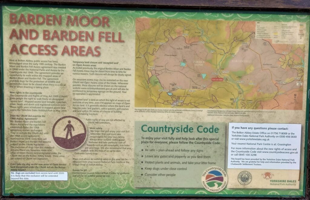
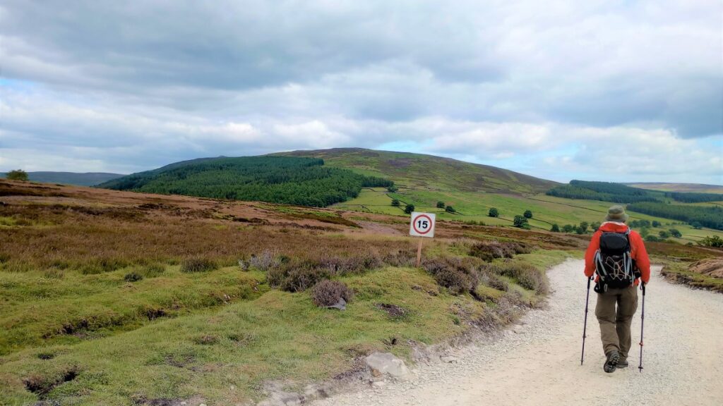
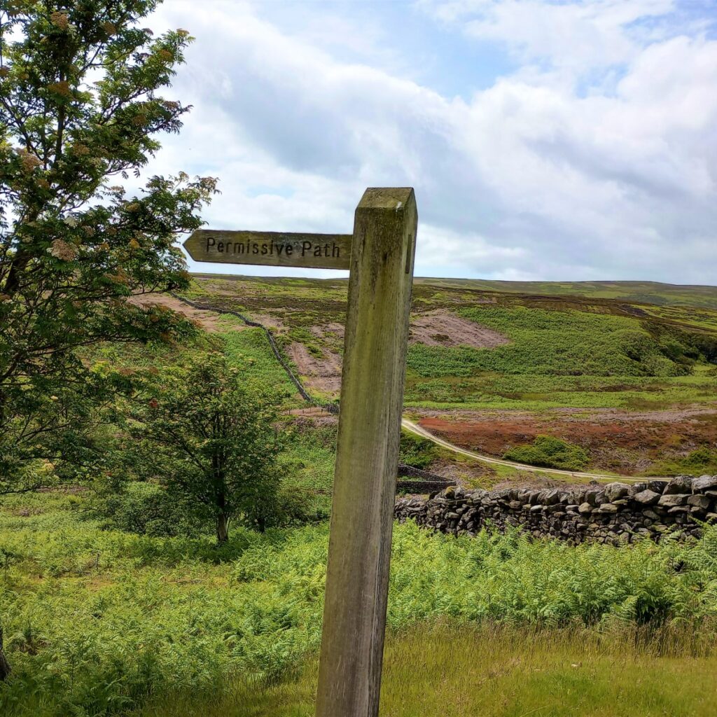
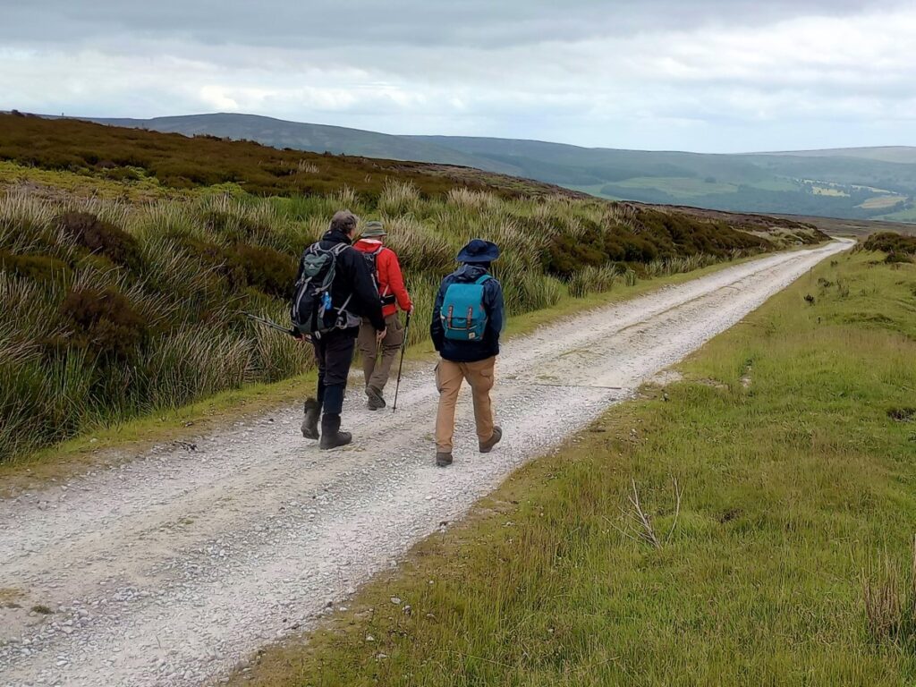
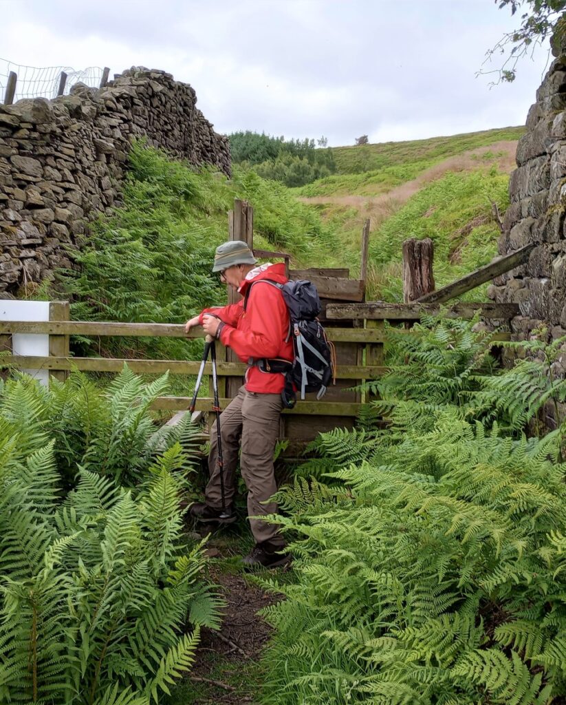
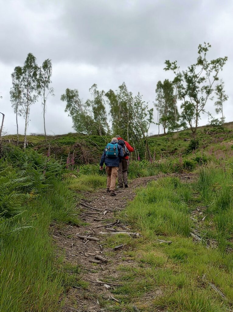
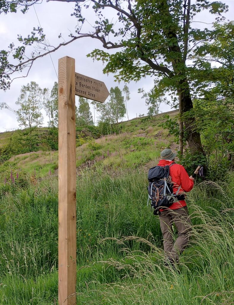
We take the permissive path on the right and after the Barden Fell Access Areas information board, we start to climb steeply on the forest path – the trees have been cleared. There are wildflowers in plentiful array. A finger post indicates a 90⁰ turn to the left which leads to a narrower track between two walls & a stile / gate. The main plantation is in view as we continue to climb more gradually, with fine views across the Wharfe valley. A slight detour around a fallen tree may be required at points, with the terrain becoming more difficult away from the path with heather & bracken. The path narrows but is still clear.
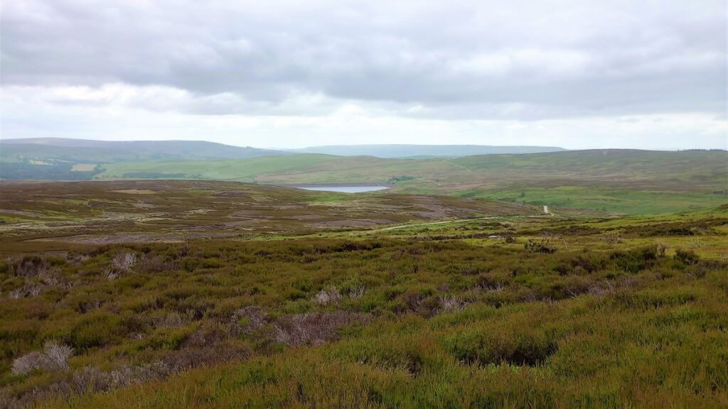
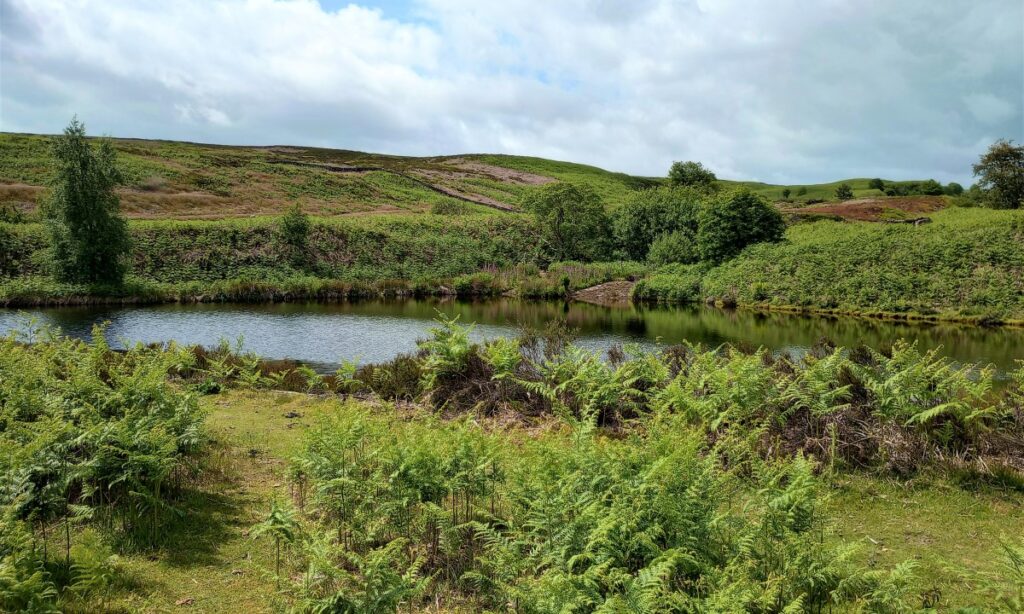
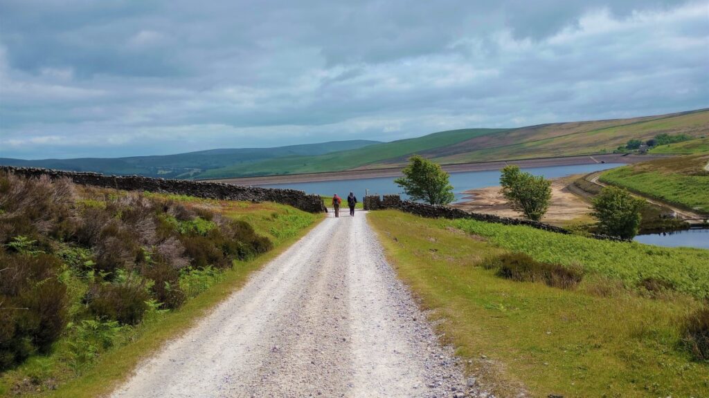
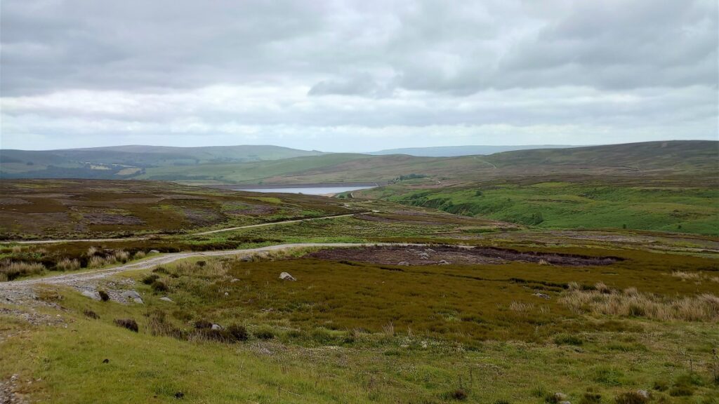
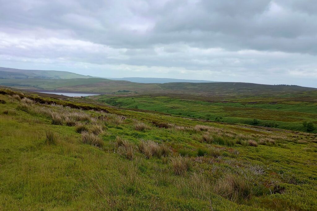
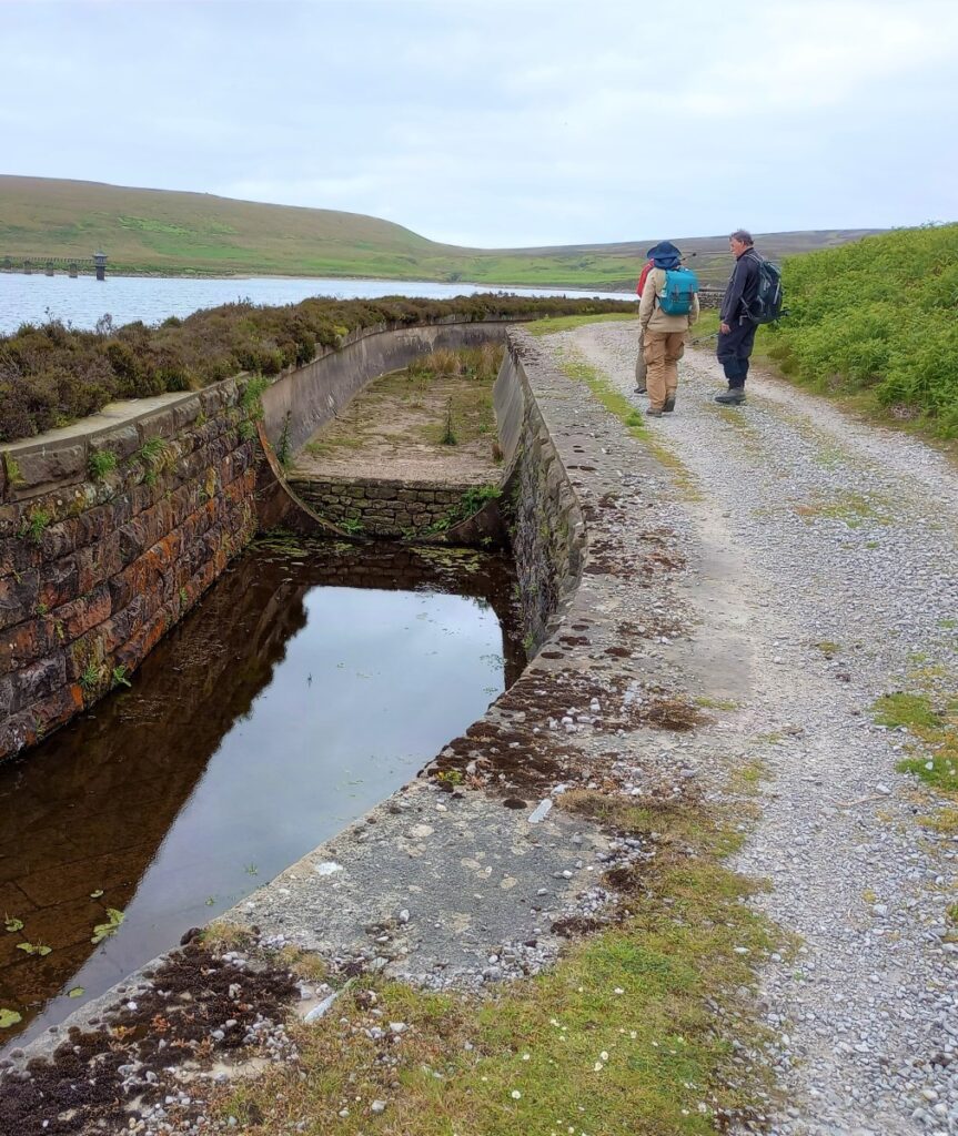
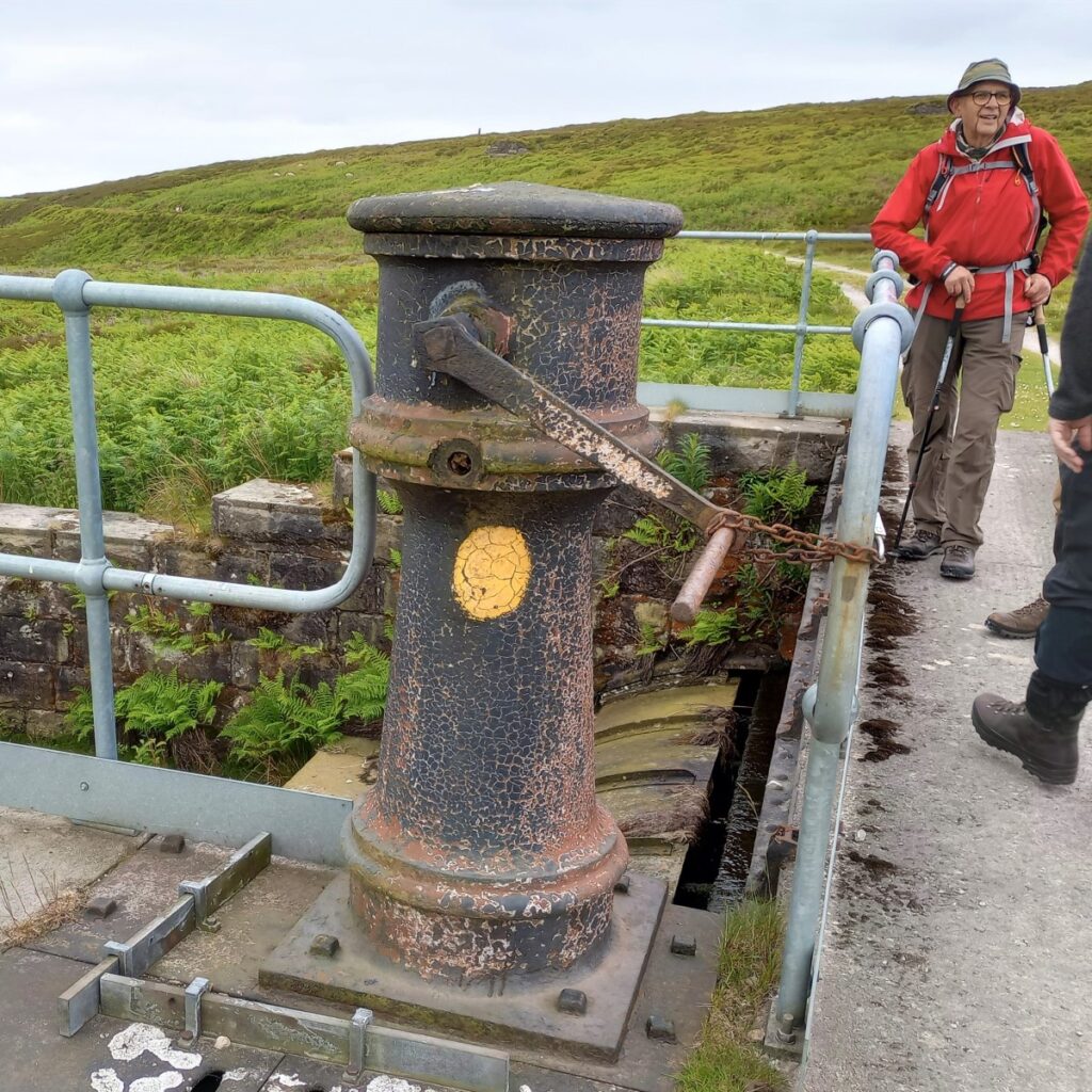
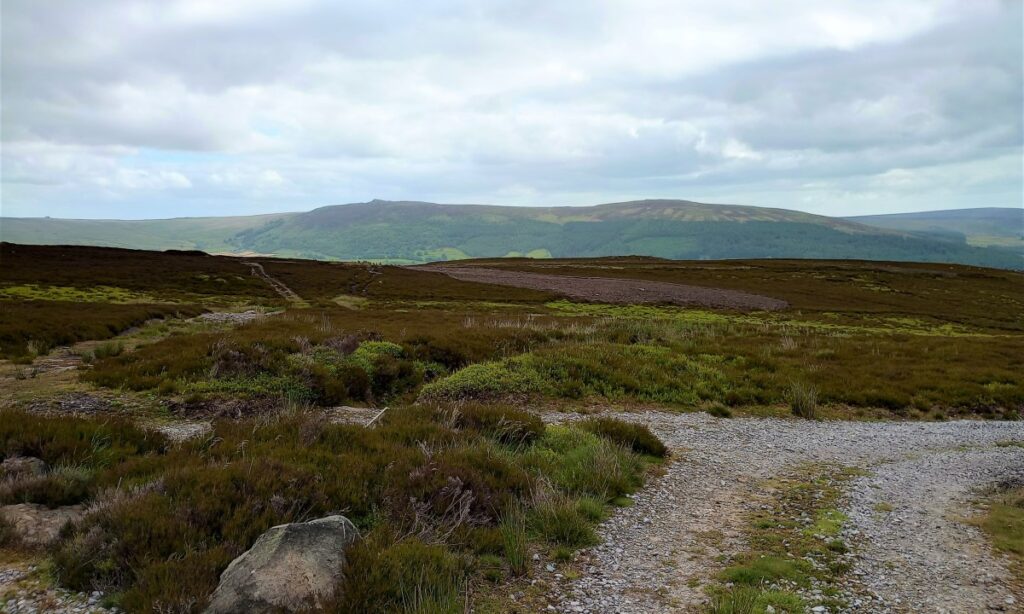
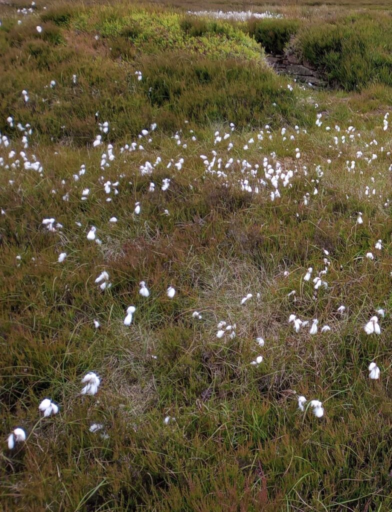
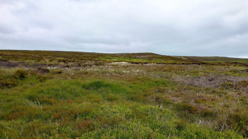
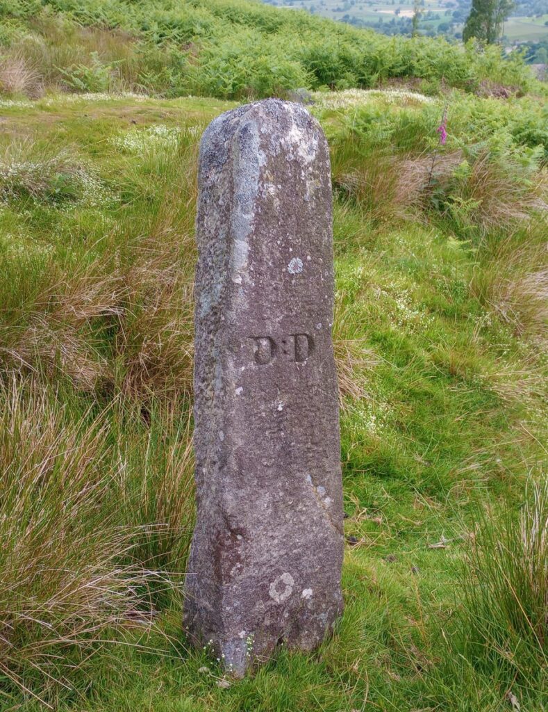
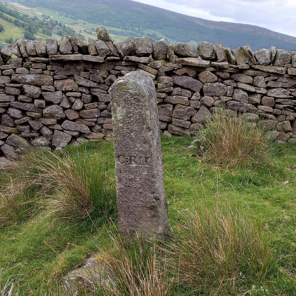
We saw an unusual isolated stone post – marked C:RII on one side & D:D on the other but we couldn’t work out the meaning. The moor levels out, with some slightly boggy areas, & patches of cotton grass, with the path becoming a track with a loose stony surface. This easy-to-follow track bends to the right along the contour lines and leads towards a small feeder reservoir, with overflow channels & flow control gear. Here we turn left again along the top of the reservoir on another stony track. At this point Lower Barden reservoir is just visible, but the Upper Reservoir is hidden behind The Whams.
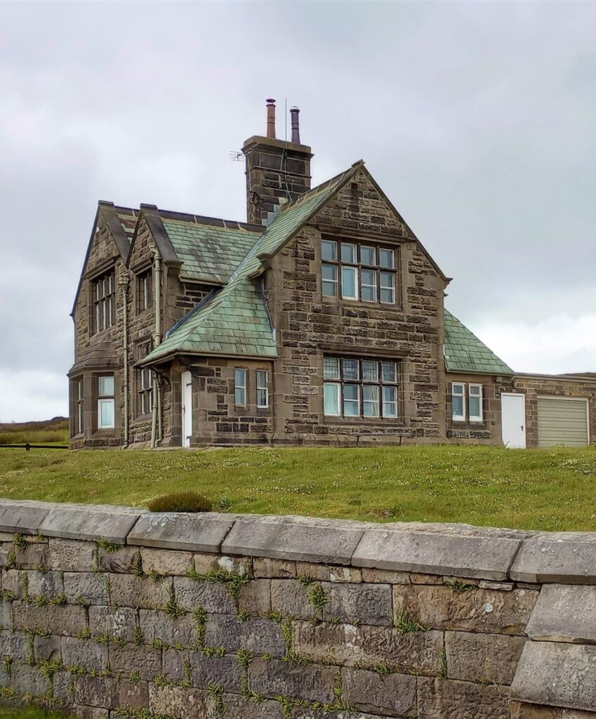
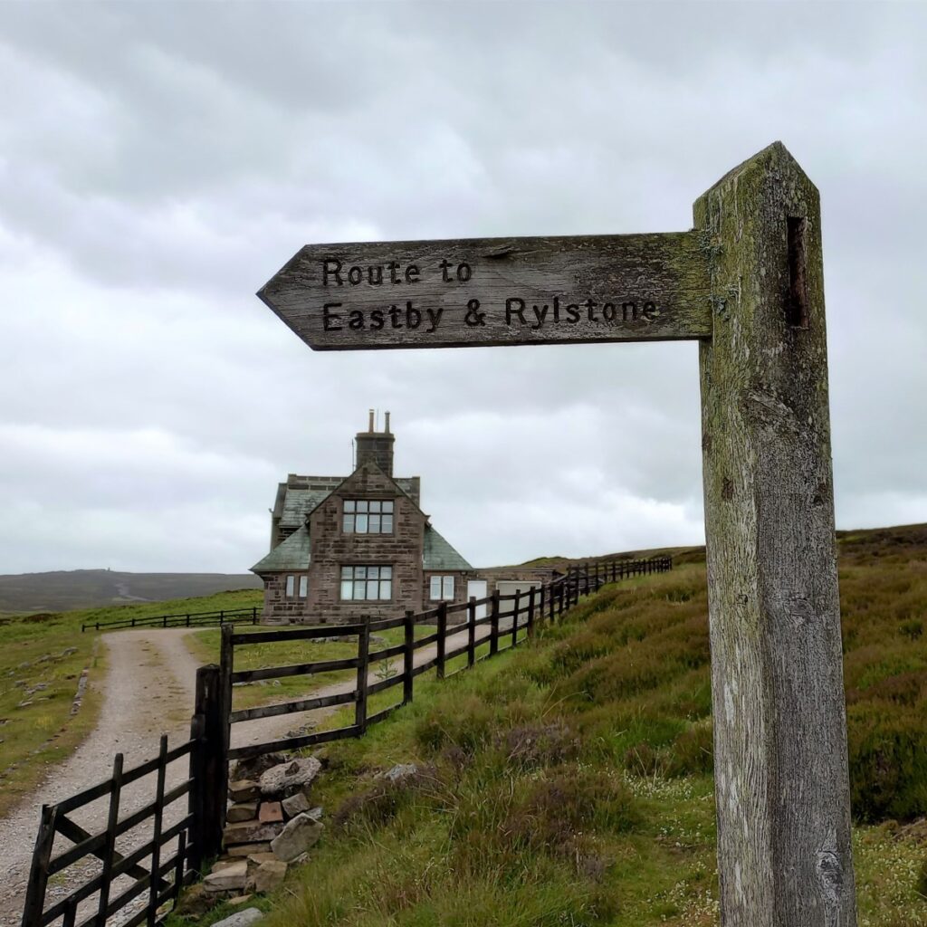
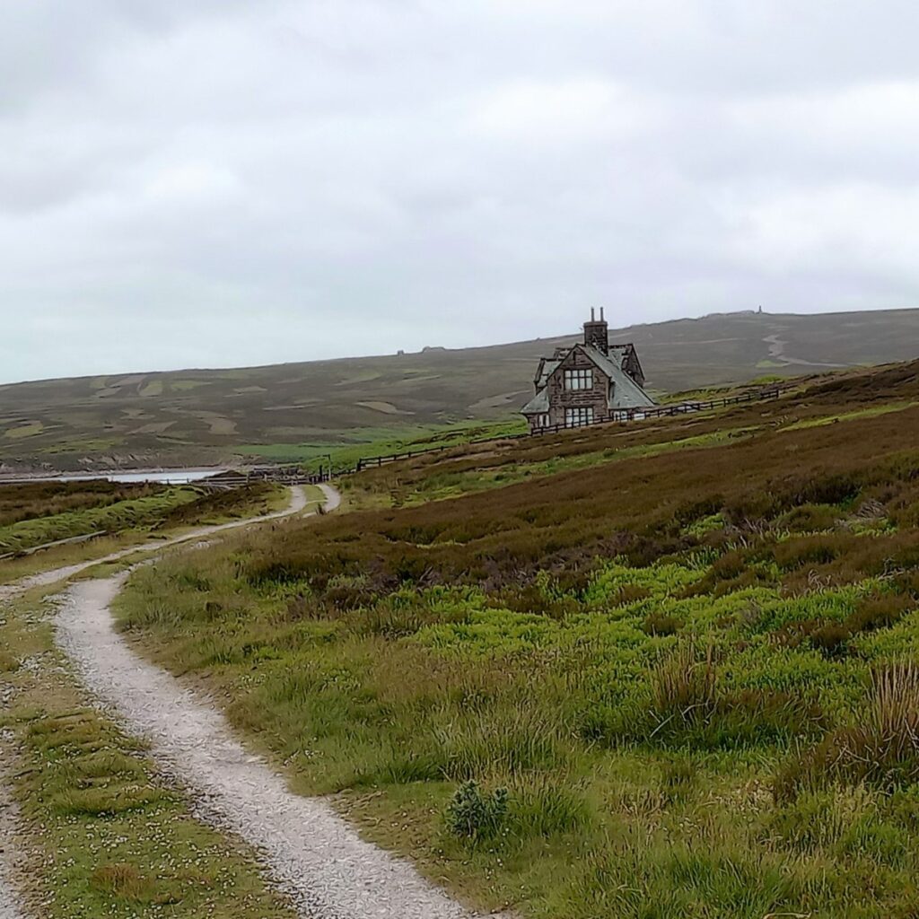
The path remains clear & flattish and eventually bends right and we finally see the house by the Upper Barden reservoir. As we approach the house & reservoir, we ignore the fingerpost to Eastby & Rylstone.
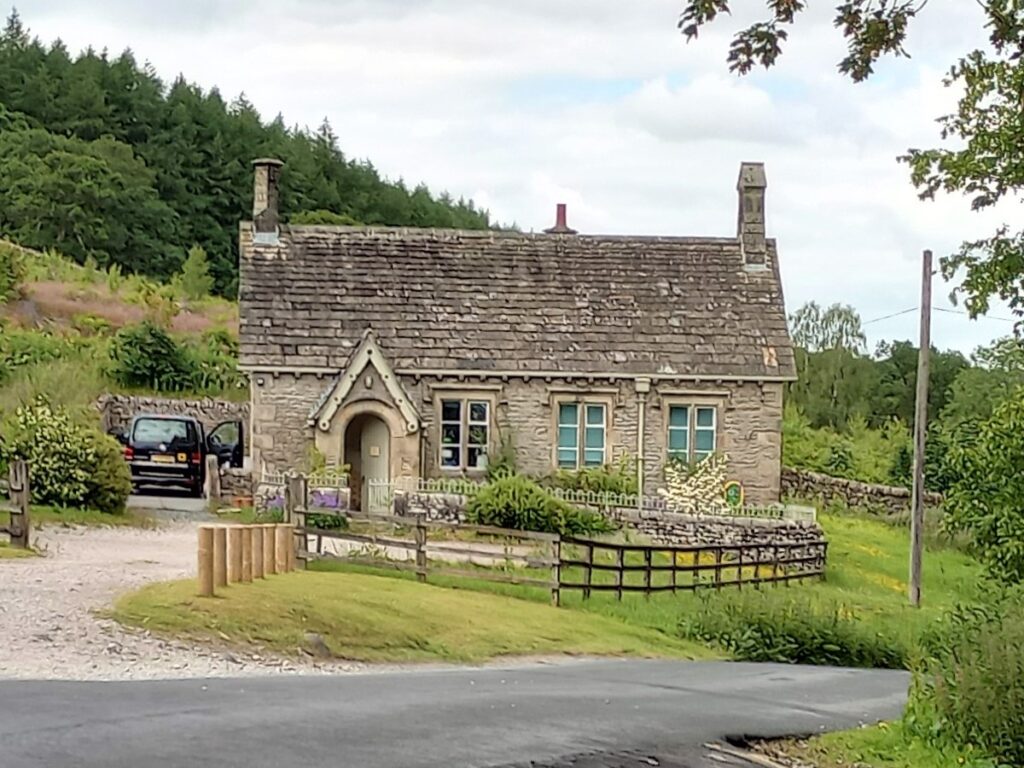
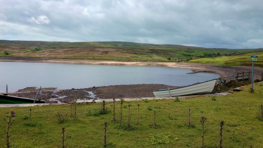
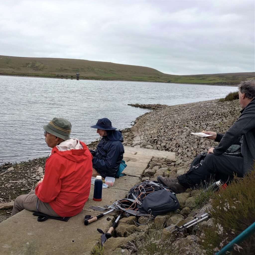
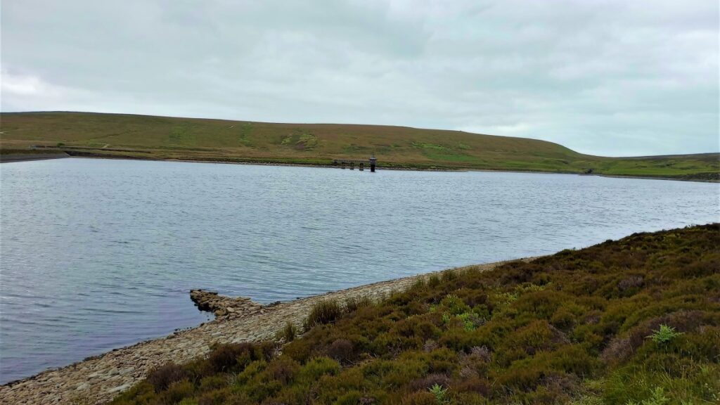
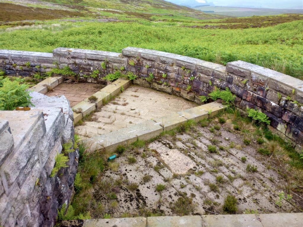
The stonework of the house proudly proclaims BCWW – Bradford Corporation Water Works 1883. The Upper reservoir was opened in 1882, after the Lower reservoir (1860). The embankment at the upper reservoir was one of the first to be built using concrete, and at the time of its construction was the highest in England, at 125 feet (38m). The water uses the Nidd Aqueduct as one route to make its way to the City of Bradford, otherwise feeding Barden Beck & the river Wharfe. We stopped for a snack on the edge of the reservoir to watch the bird life – a red kite & a flock of black headed gulls.
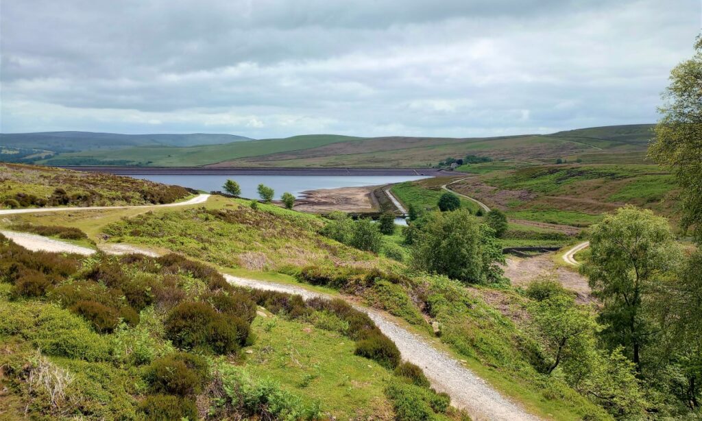
After our (optional) exploration of the various channels, overflows & items of sluicing gear, we return to the wide Waterworks track down towards Barden Lower reservoir.
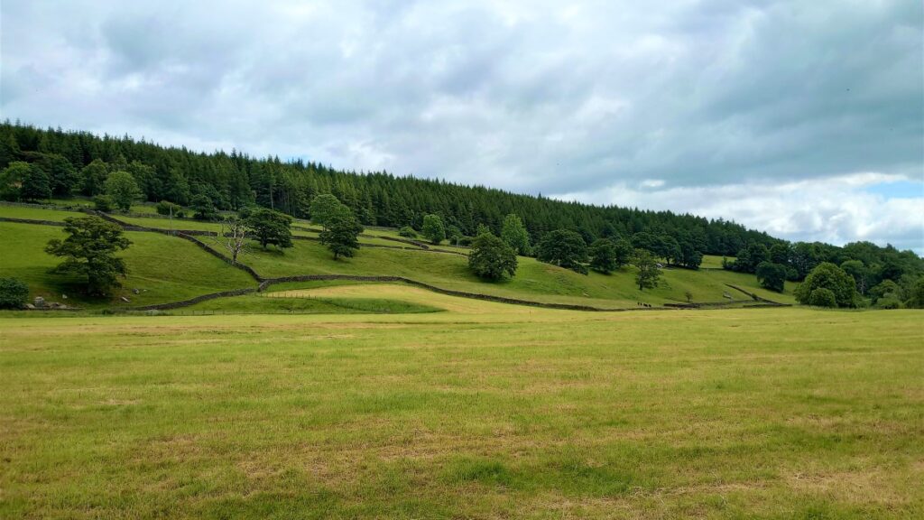
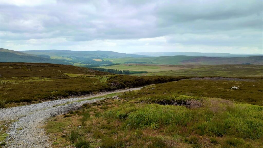
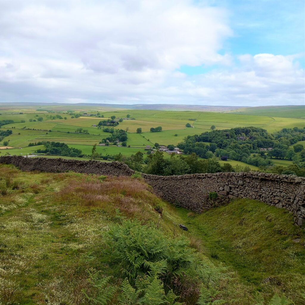
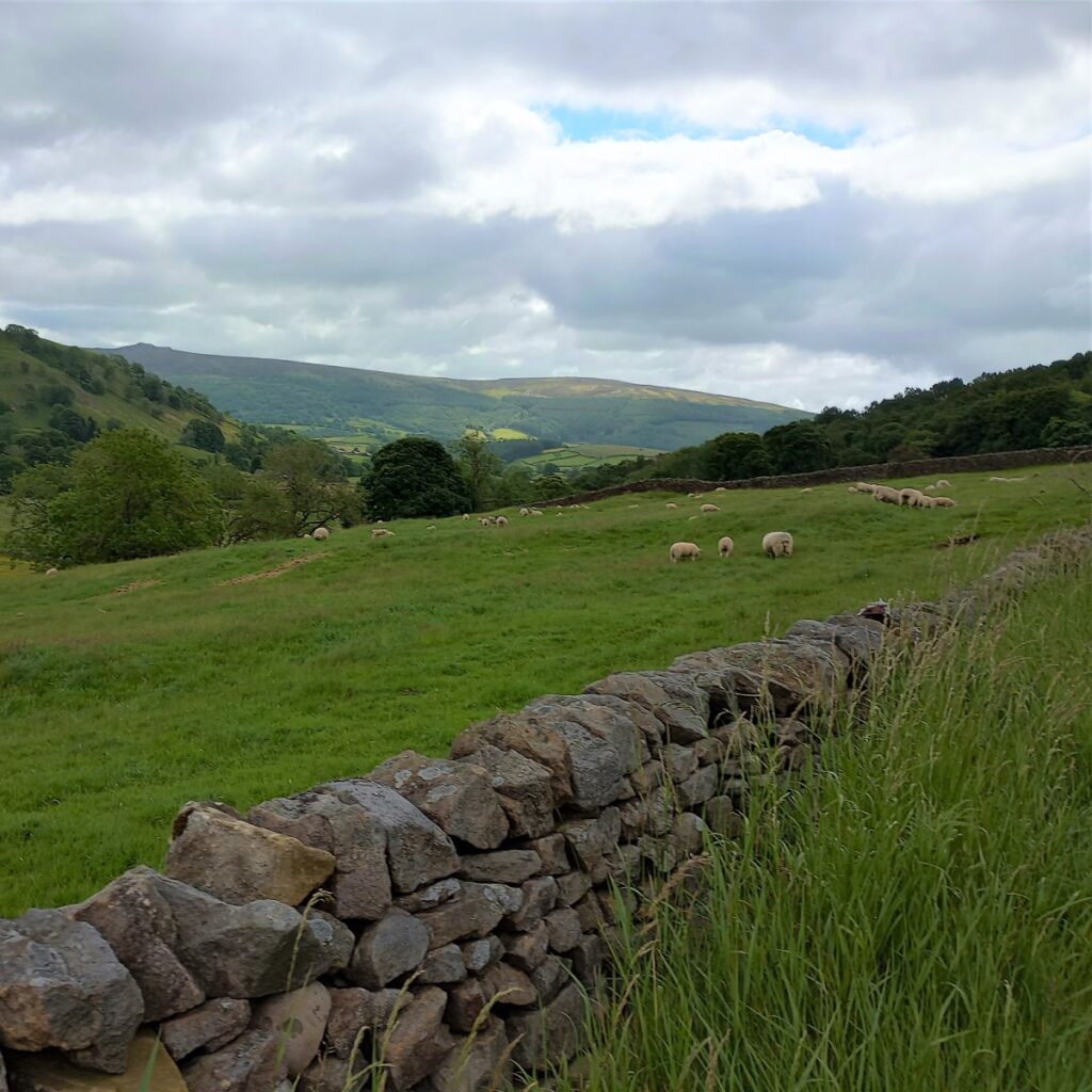
This clear but not straight track gradually moves down the moor side, just above Barden Beck, giving open views across the Bolton Abbey estate, towards Simon Seat. We pass above the Brass Castle – a shooting shack backed on to a rocky outcrop.
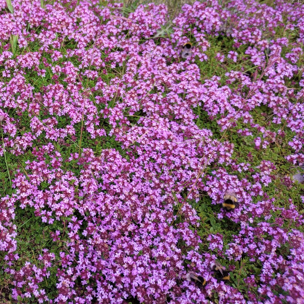
Along this stretch were tiny wild strawberries & bees busy on patches of creeping red thyme.
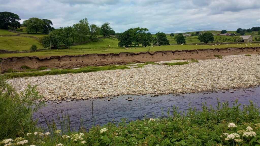
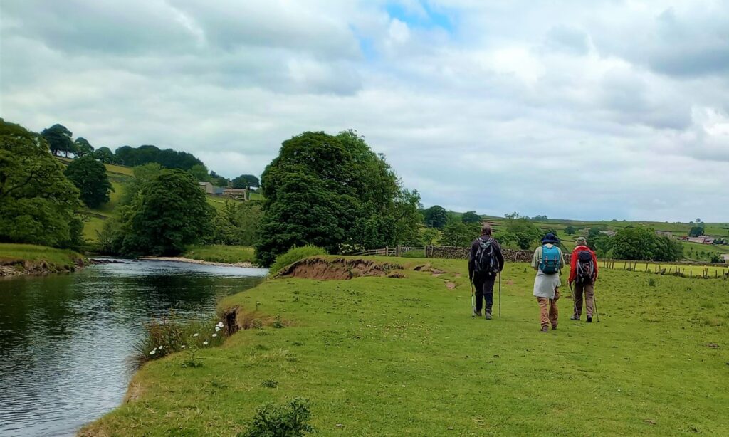
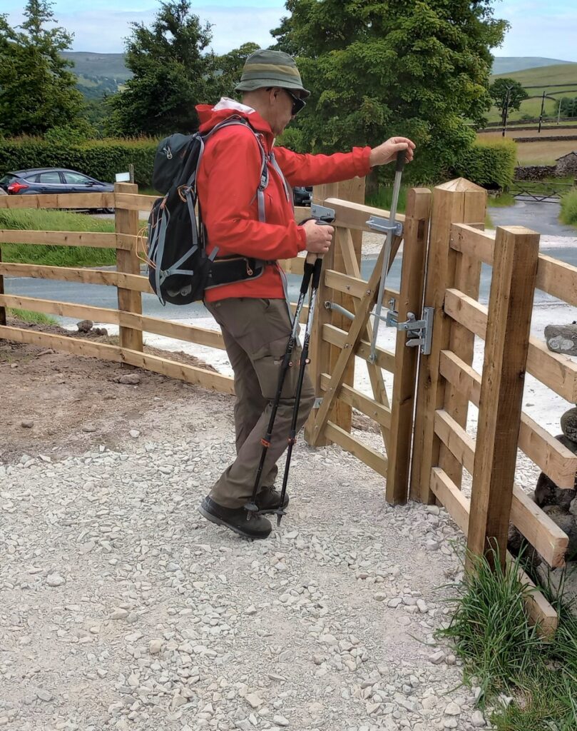
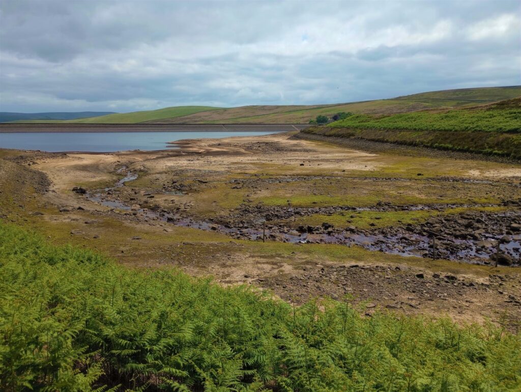
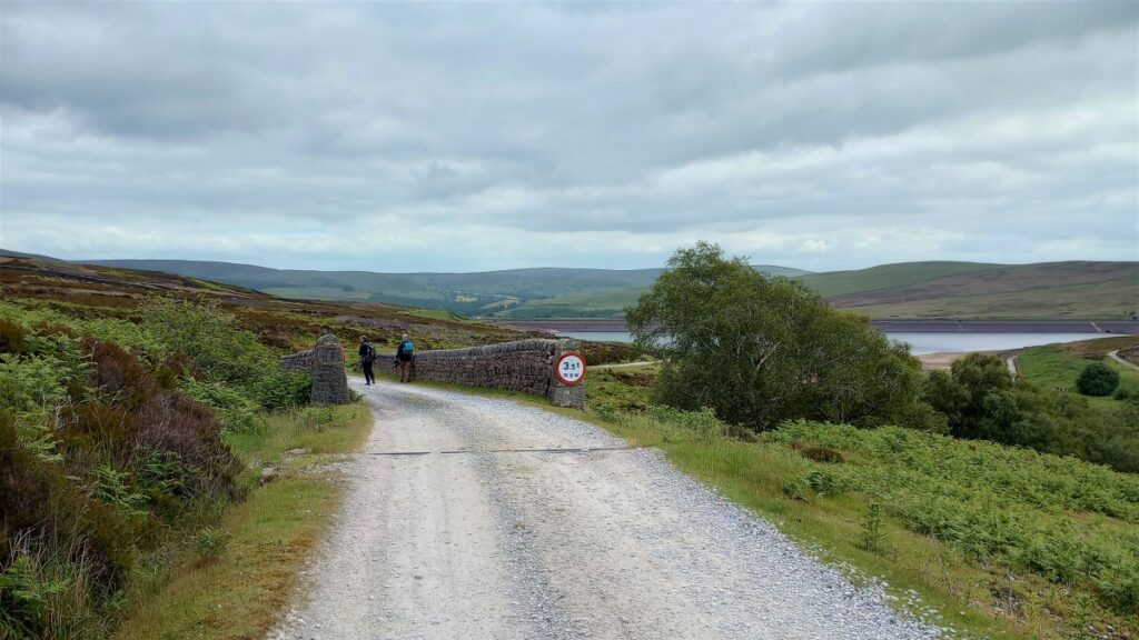
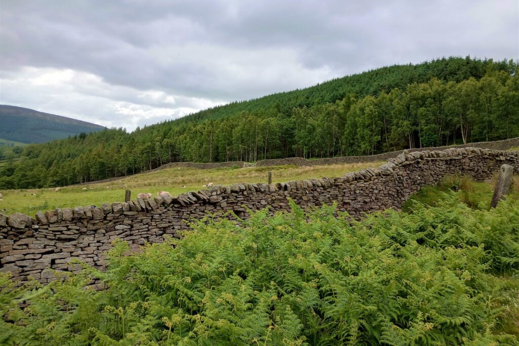
Shortly after crossing a small bridge, we reach a cattle grid where we leave the main track to the right to pick up a Permissive path, a less distinct but well-walked narrow trod through the heather at the edge of the reservoir. If the bracken is too well grown, staying on the main track may be preferable. At the sluices we exit through a wide gate. The level was low in the reservoir on our visit, due to various engineering works and a considerable quantity of heavy plant was in evidence as we reached the far sluices. The track onwards has been widened & well covered in aggregate. Walking during the week would cause an encounter with the workers (and dust!) and there are signs about pedestrians & sheep to remind the digger drivers once we pick up the main track away from the reservoir.
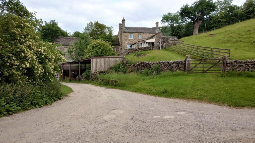
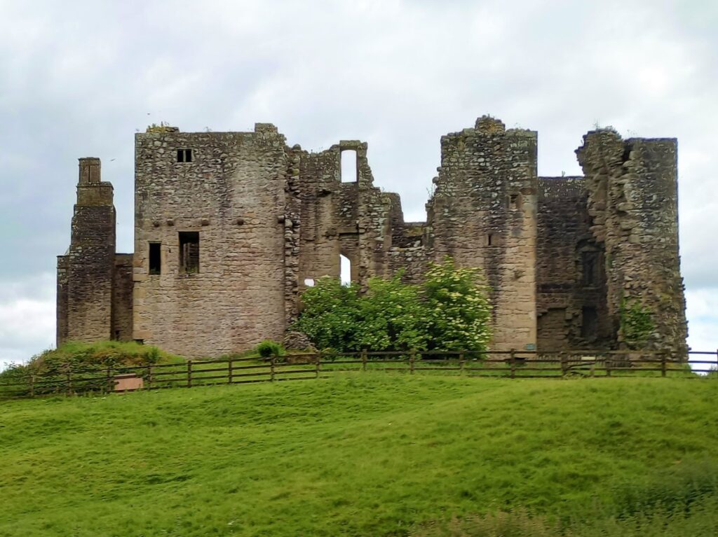
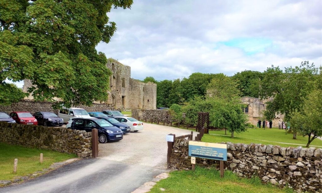
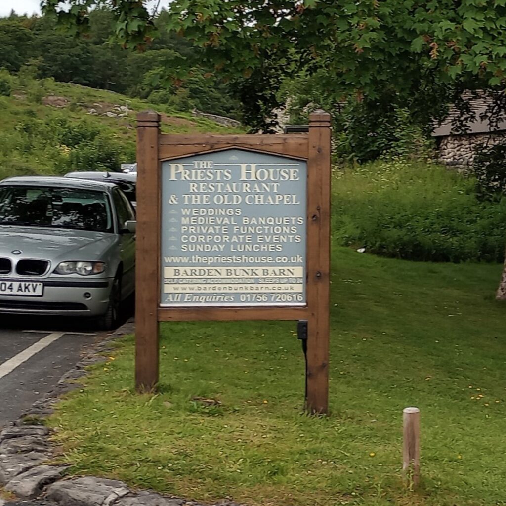
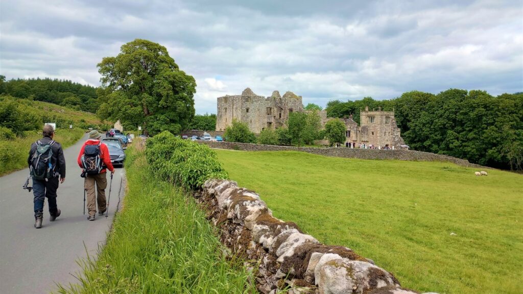
The waterways track we left earlier to follow the reservoir side, re-joins as we drop down the moor to the side of a small wood. We pass through a new gate with further information on the access land, to join a minor road from Halton Moor, before almost immediately reaching a junction with the B6160. We turn left, passing the sign for Barden, as the remains of the Tower and the Priest’s House restaurant appear on the right. Barden Tower is a ruined former hunting lodge, originally built in stone c 1485 by Henry Clifford.
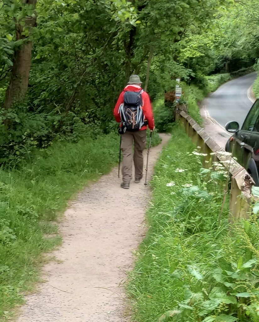
The Tower was restored in the 1650s by Lady Anne Clifford, a character we have come to know quite well when walking in North Yorkshire & Cumbria. The Priest house is thought to date from 1513 & was converted to be a restaurant & wedding venue in 2016. We bear right at the road junction here & walk downhill on the narrow lane, at the side / back of the ruined tower. Extreme caution is required here as the road bends considerably & the traffic can be very close to the side of the road as it leaves the Barden Bridge crossing and pedestrians cannot be easily seen!
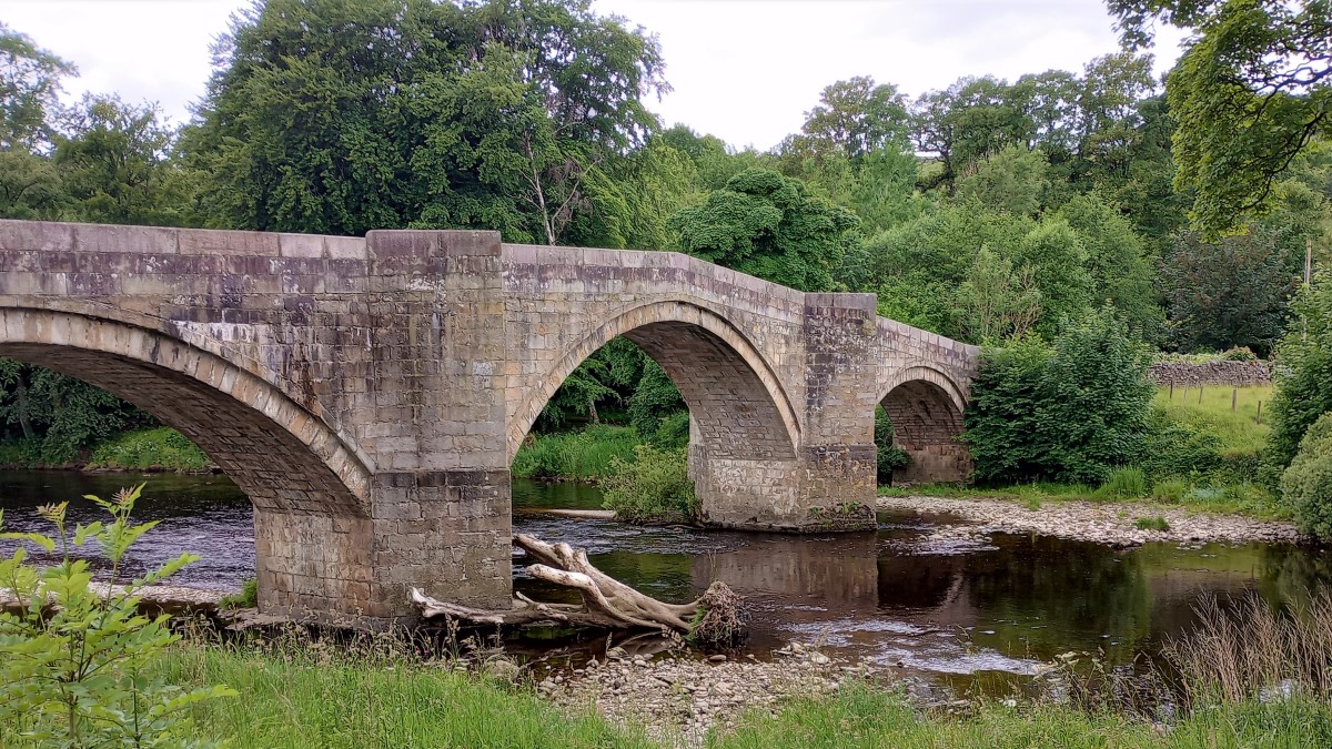
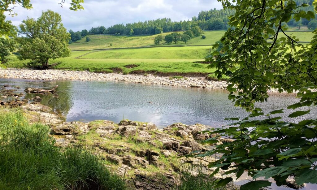
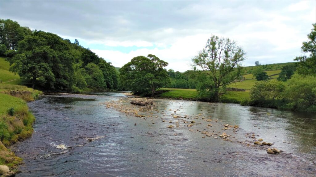
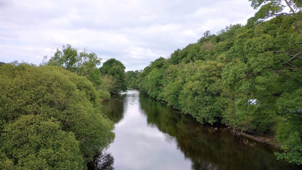
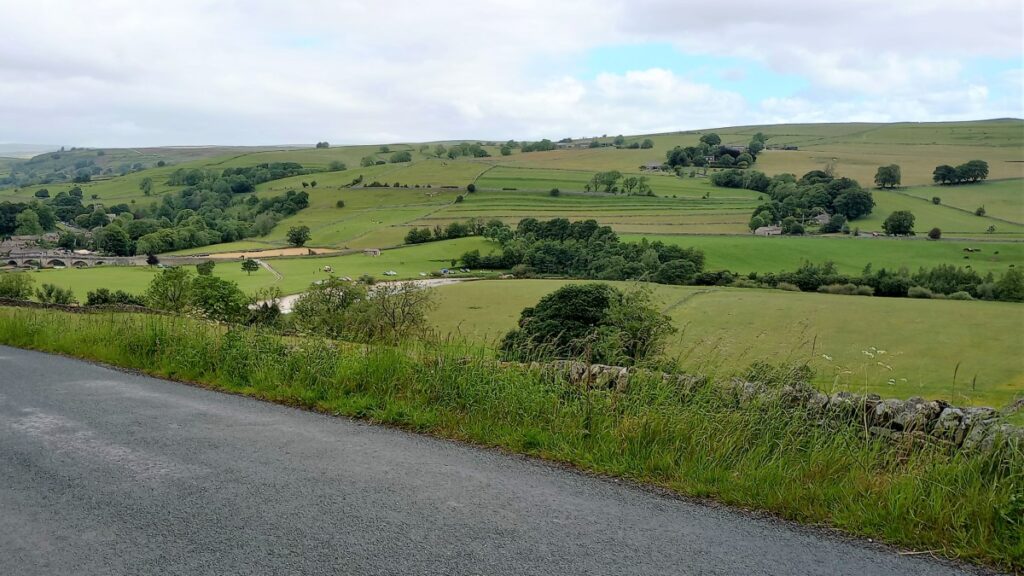
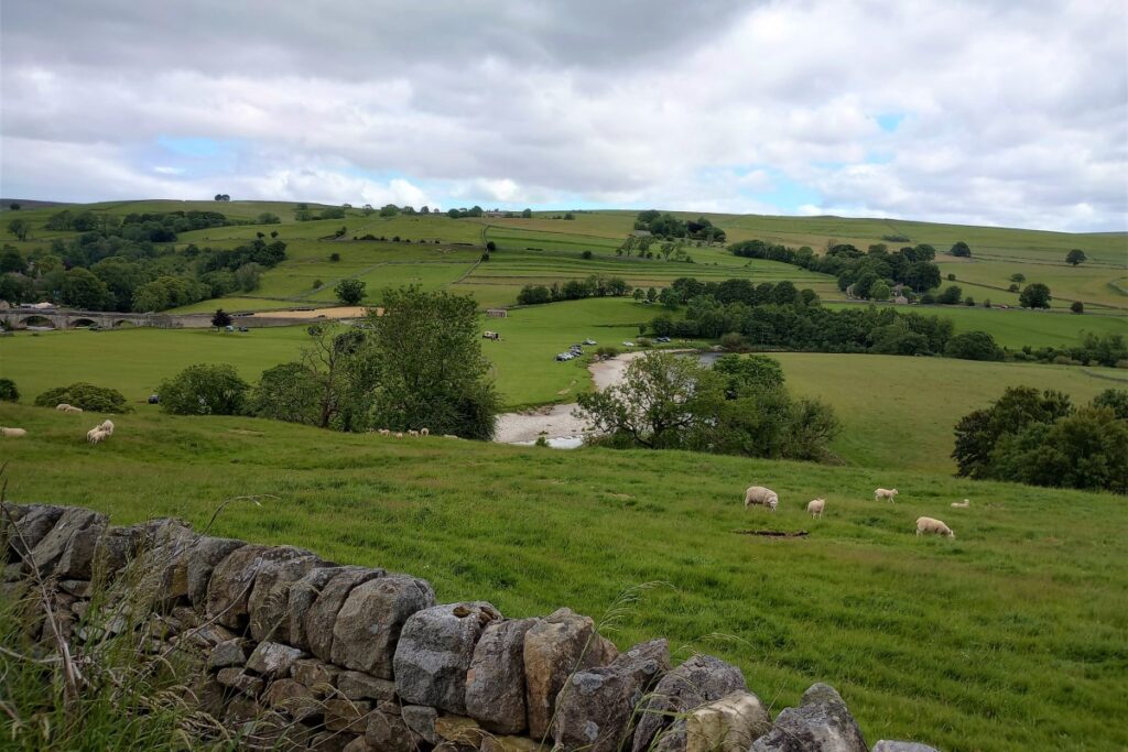
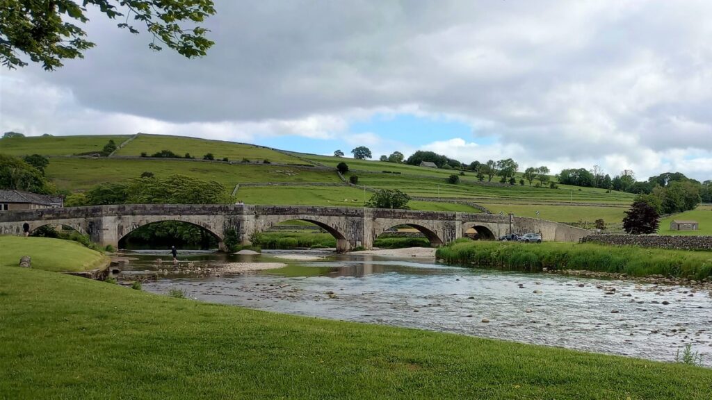
Barden Bridge, across the river Wharfe, is a well-known landmark at the upper end of the main Bolton Abbey estate and the road can be busy here, with cars entering & exiting the car park, stopping for ice cream & waiting to cross the single carriageway bridge. The views from the bridge are lovely, up & down the river Wharfe. The bridge is a Grade II listed building and was built in 1659.
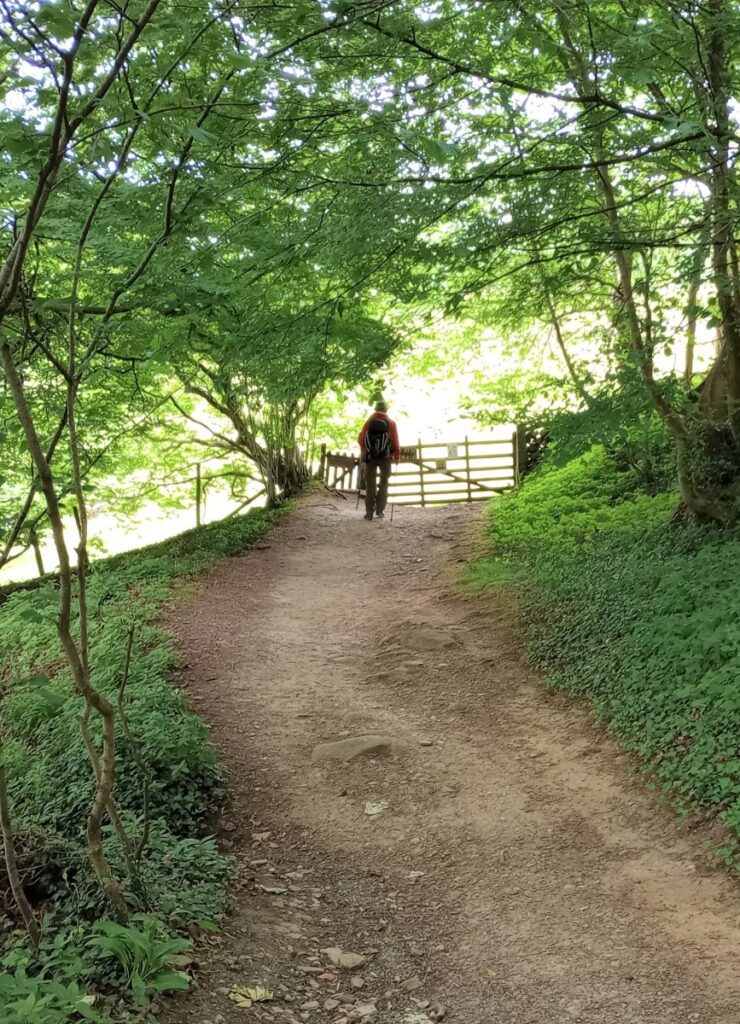
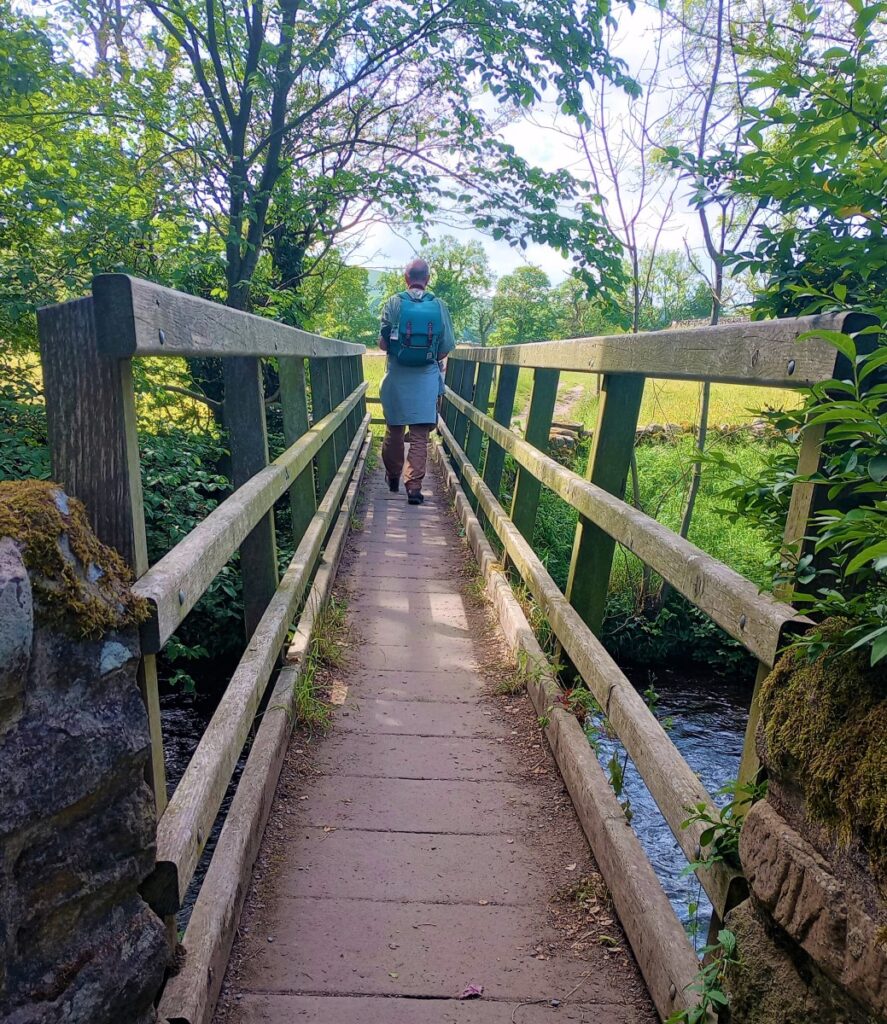
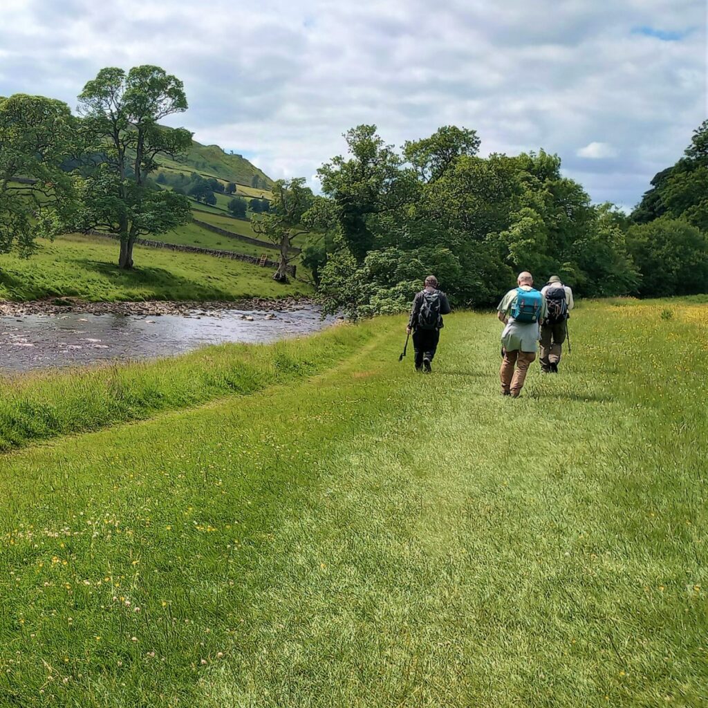
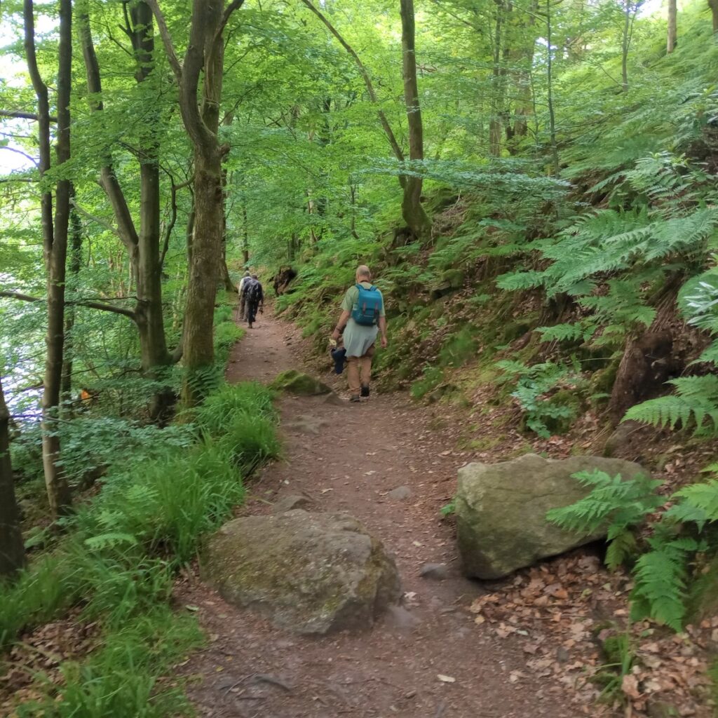
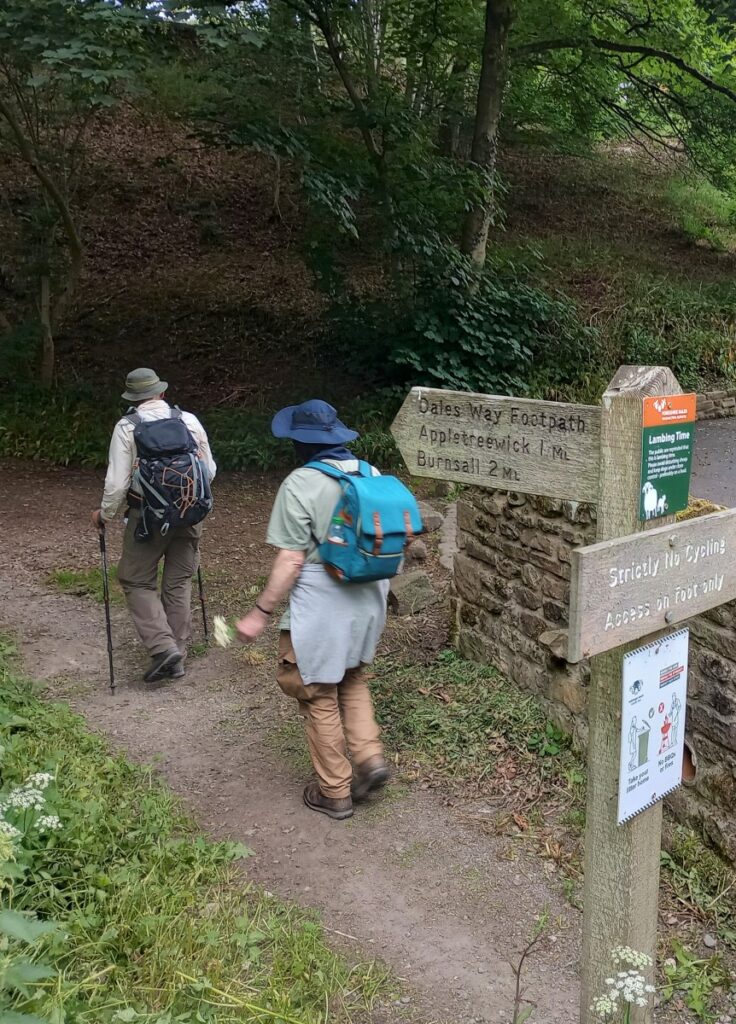
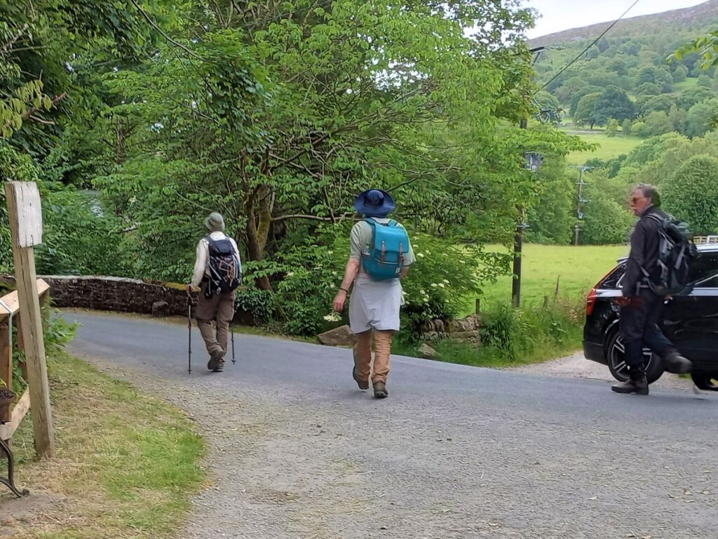
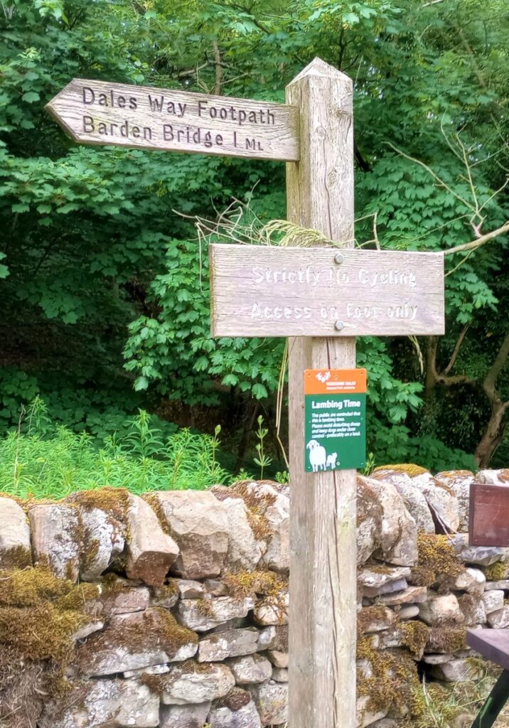
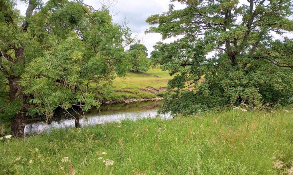
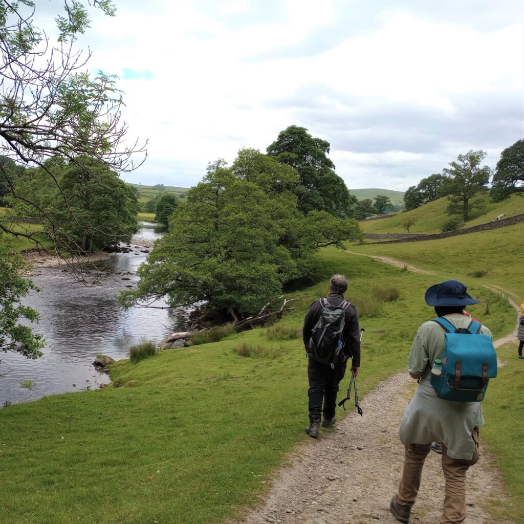
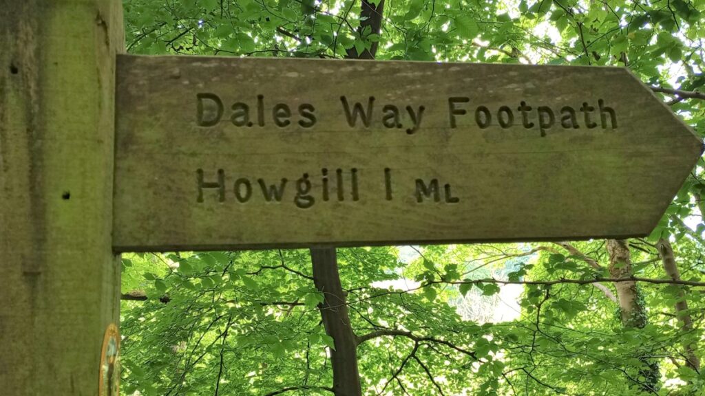
After a very short further section of road, the Dales Way peels off to the left and we follow, initially parallel to the road & then nearer to the riverbank, in the direction of Howgill. This is a lovely stretch of path but can be busy with day visitors out for a stroll as well as hardened walkers undertaking the Dales Way long distance walk.
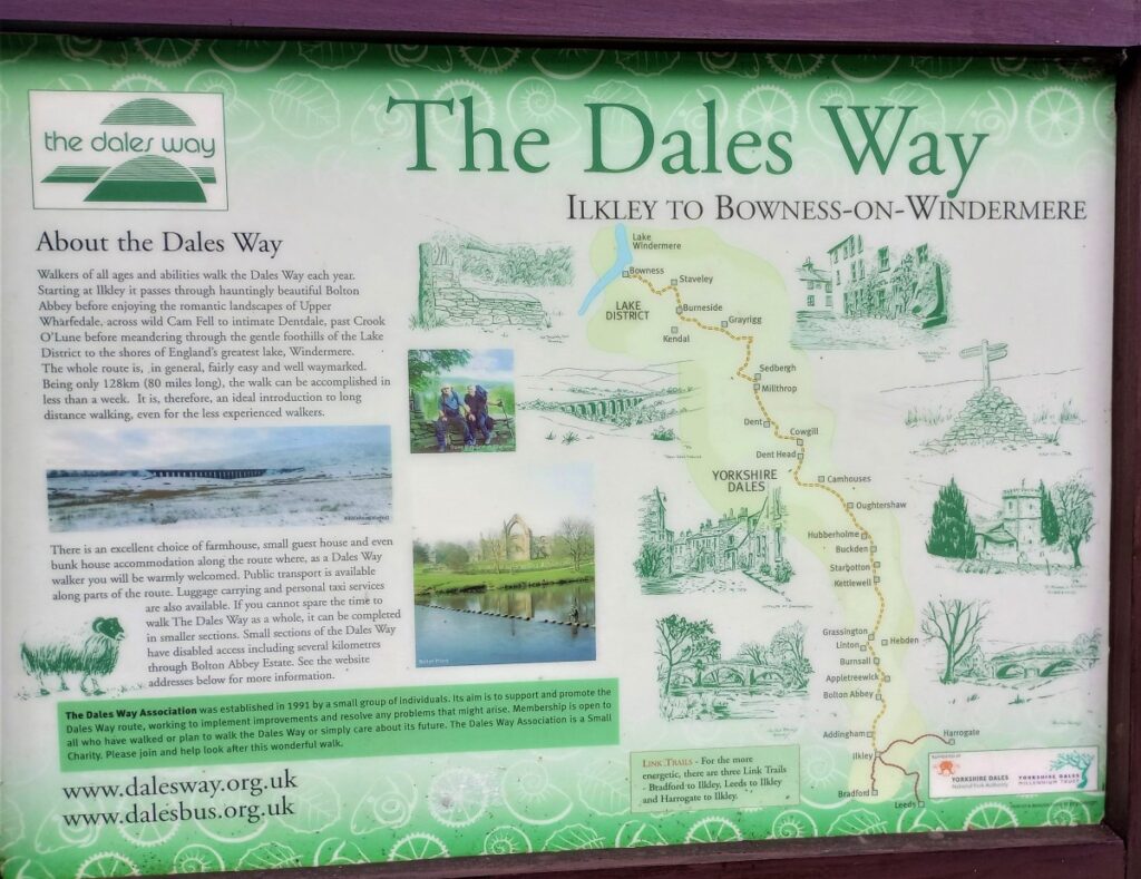
The Dales Way runs for 80 miles from Ilkley to Bowness-on-Windermere, following mostly riverside paths. Several of the Bentham Footpath Group’s walks make use of stretches of this long-distance route.
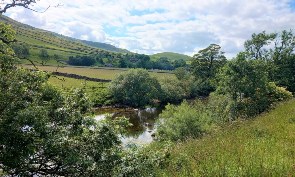
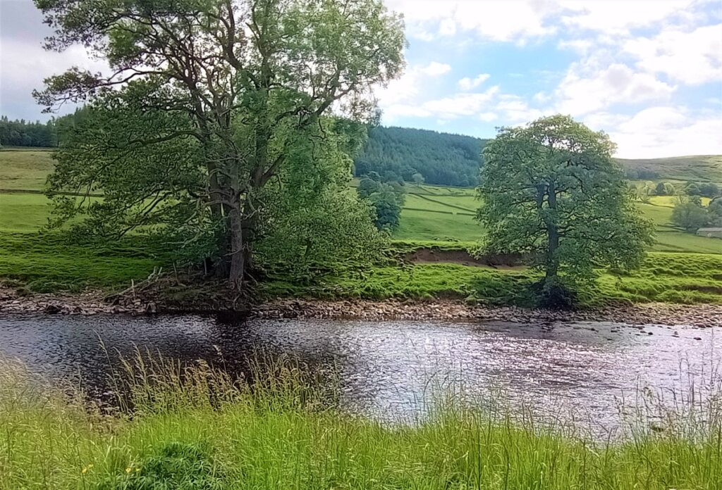
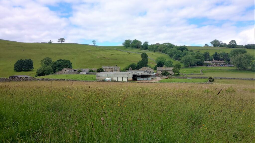
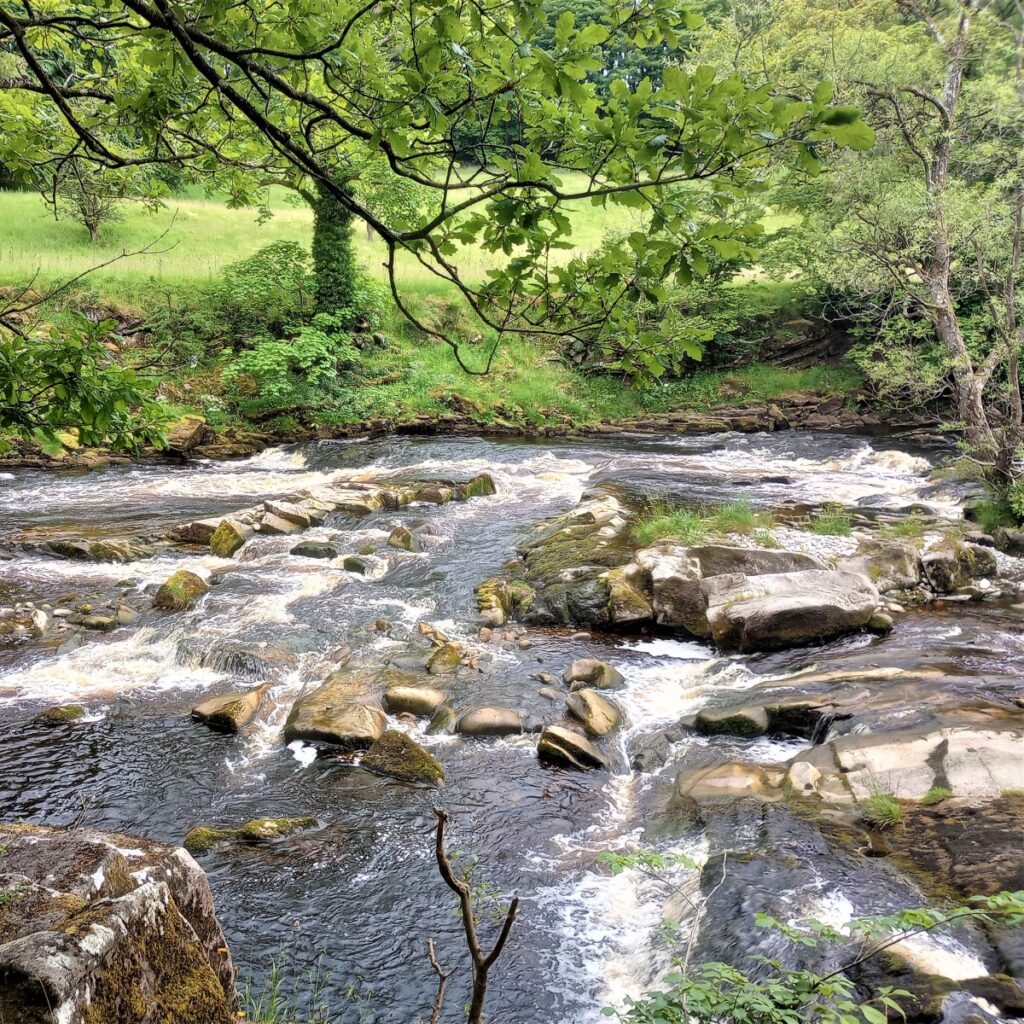
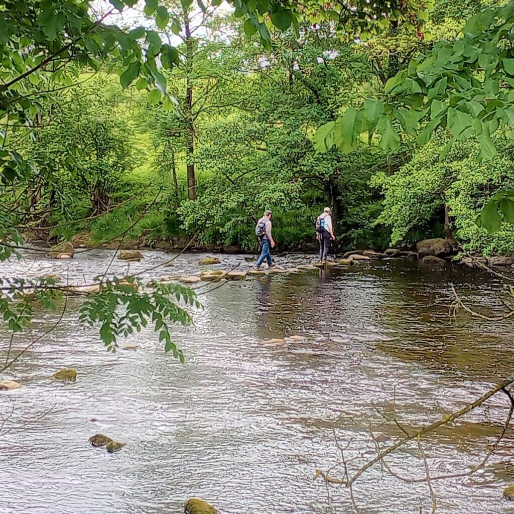
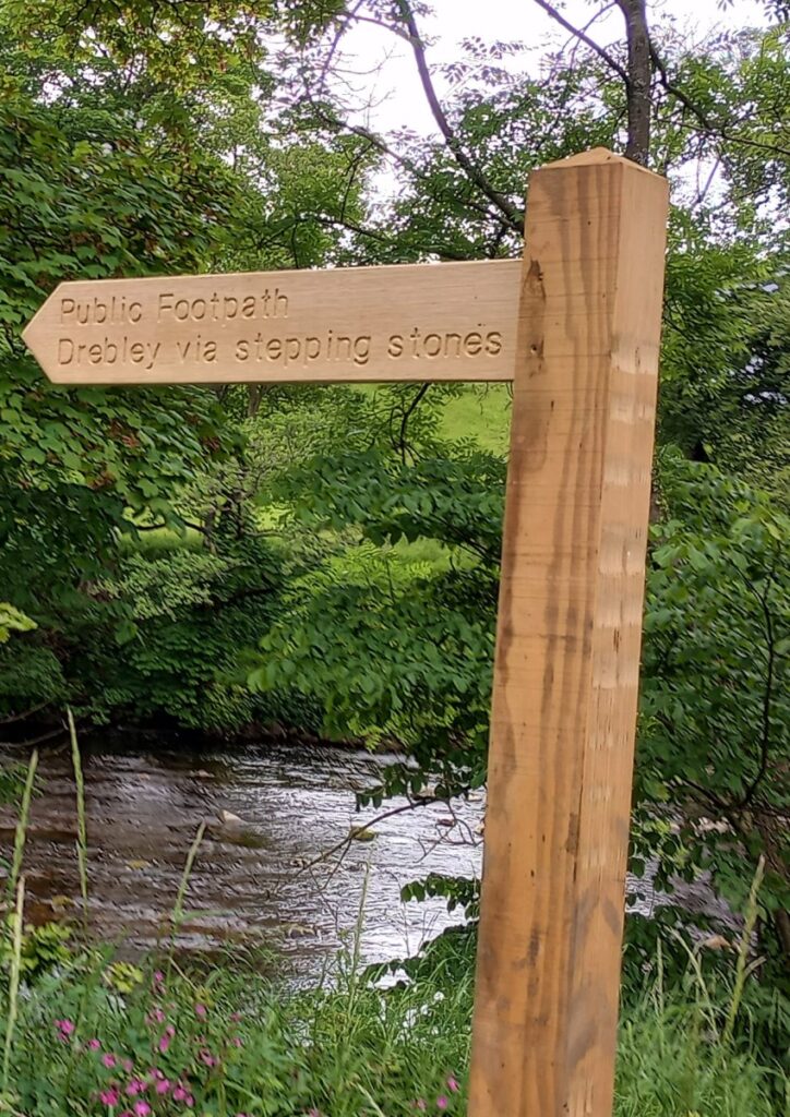
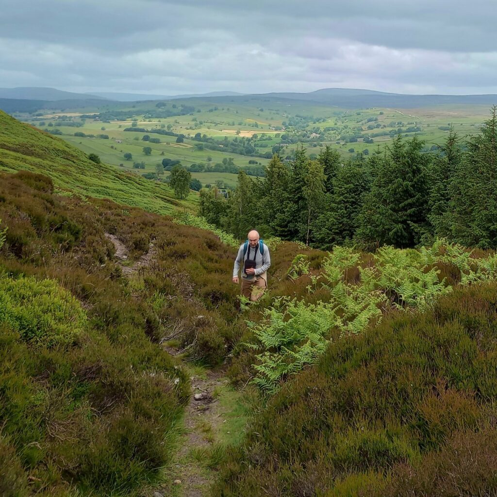
Our path meanders along at the river’s side, in wooded areas and open fields, before turning right up to the roadside again near Howgill. A short excursion to the left following the sign before reaching the farm at Howgill allows a view of the steppingstones across the Wharfe (river level permitting) on the path to Drebley.
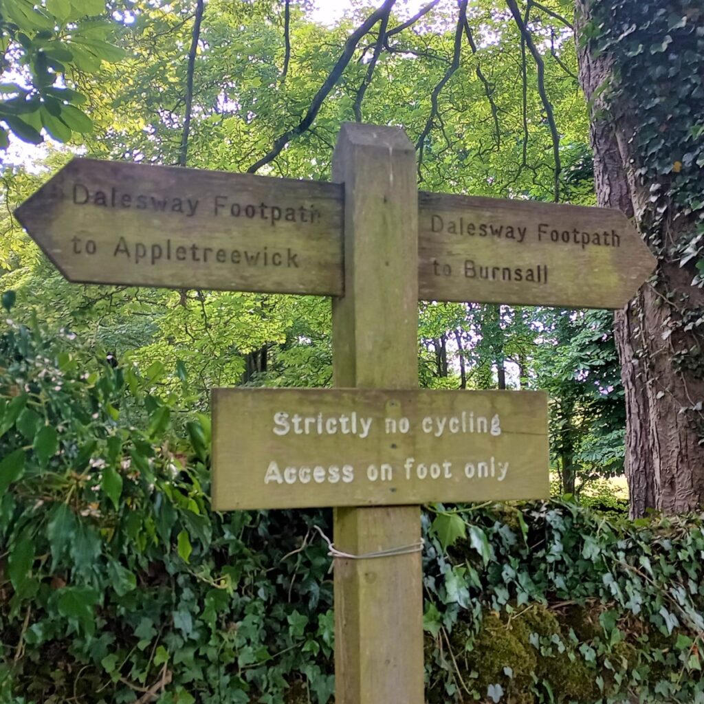
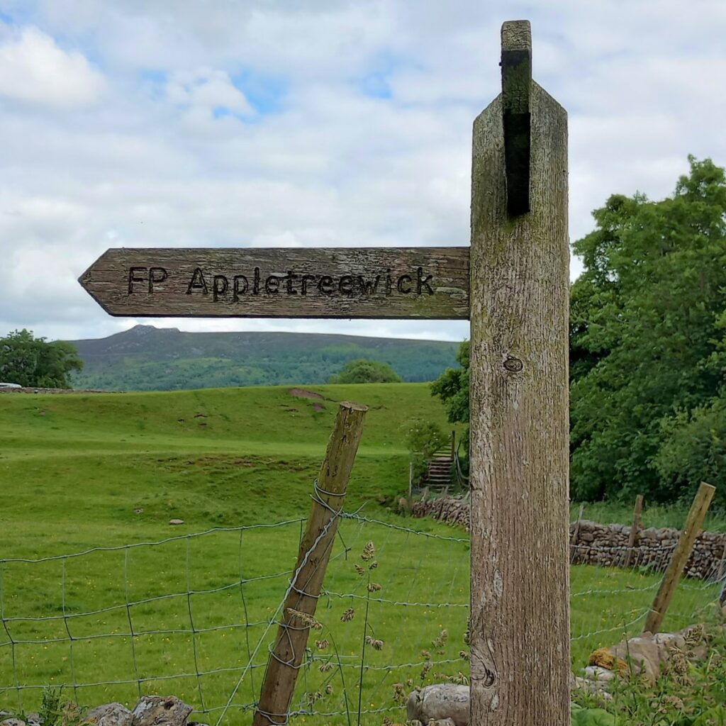
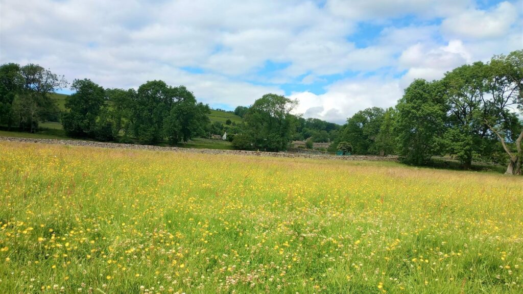
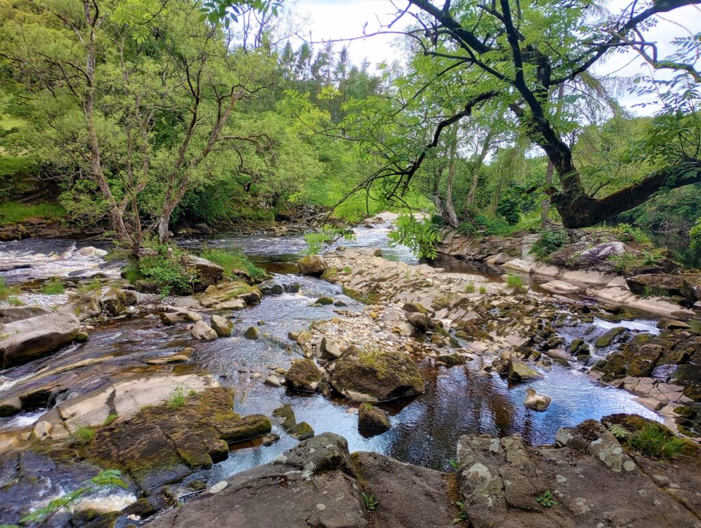
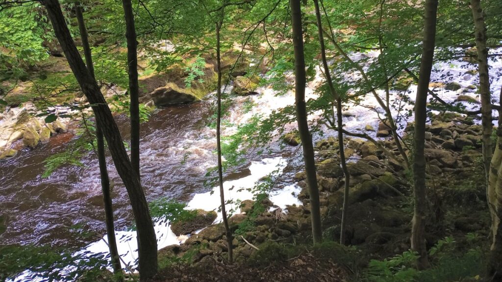
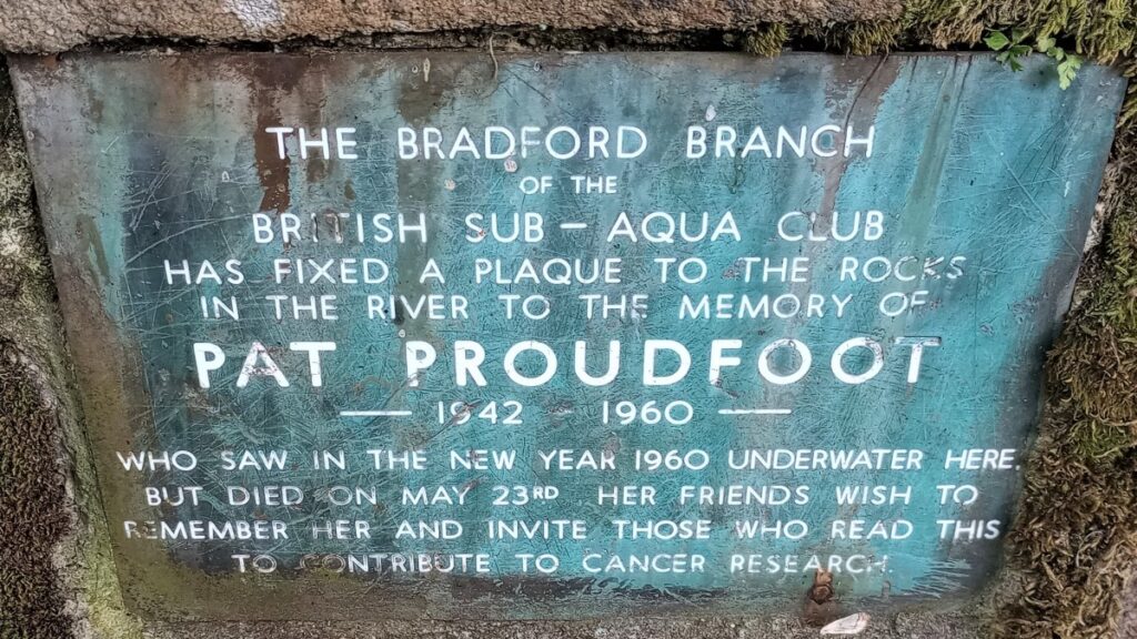
Following the track by the house / farm buildings we briefly touch the road and cross a small stone bridge, before leaving on the left again, Dales Way signed for Appletreewick & Burnsall. The path remains close to the river side, and we noted a memorial stone to a lost member of the Bradford branch of the British Sub-Aqua club. The river is flat pools & small waterfalls at this point and the path again runs through shady woods & open meadows (filled with flowers on our visit).
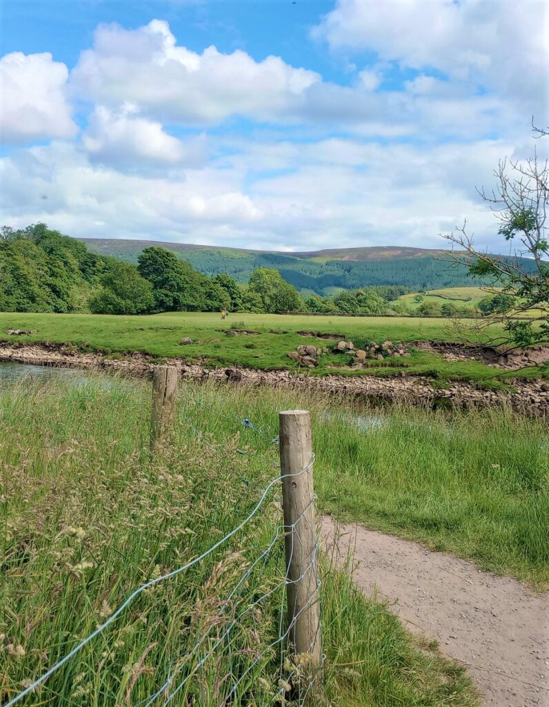
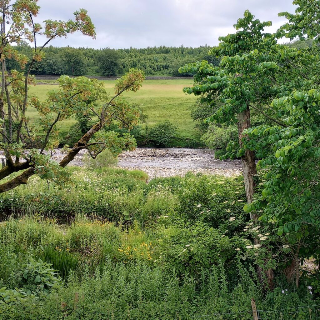
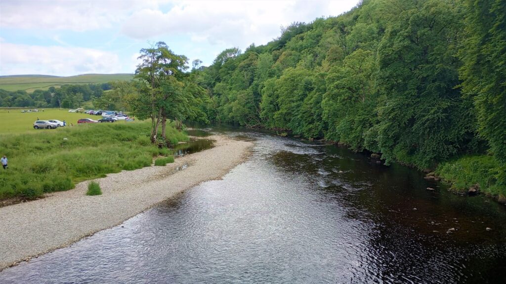
We drop down some steps to come out in fields by Appletreewick (path up to the village here is an option) and are briefly walking immediately next to the minor road, before bending left & then away from the river as it meanders. After Woodhouse we cross a footbridge over Barben (not Barbon!) beck and the path re-joins the river bank before we pass through a gateway announcing the Hartlington car park.
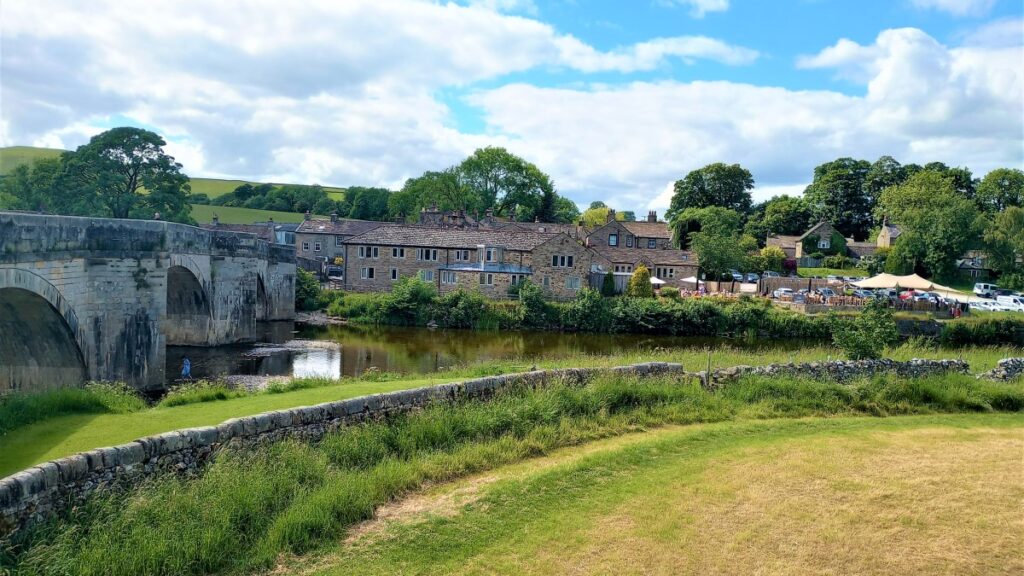
This extensive riverside pasture includes a toilet block and is very popular as a parking / picnic area in the summer. As the sign indicates, parking and use is supervised! Walking through is allowed though. We reach the road & turn left to cross Burnsall Bridge before meeting the “main road” and turning left again to get back to our start point.