Jump to . . .Step by Step | OS Map | Downloads | Gallery | Fly through
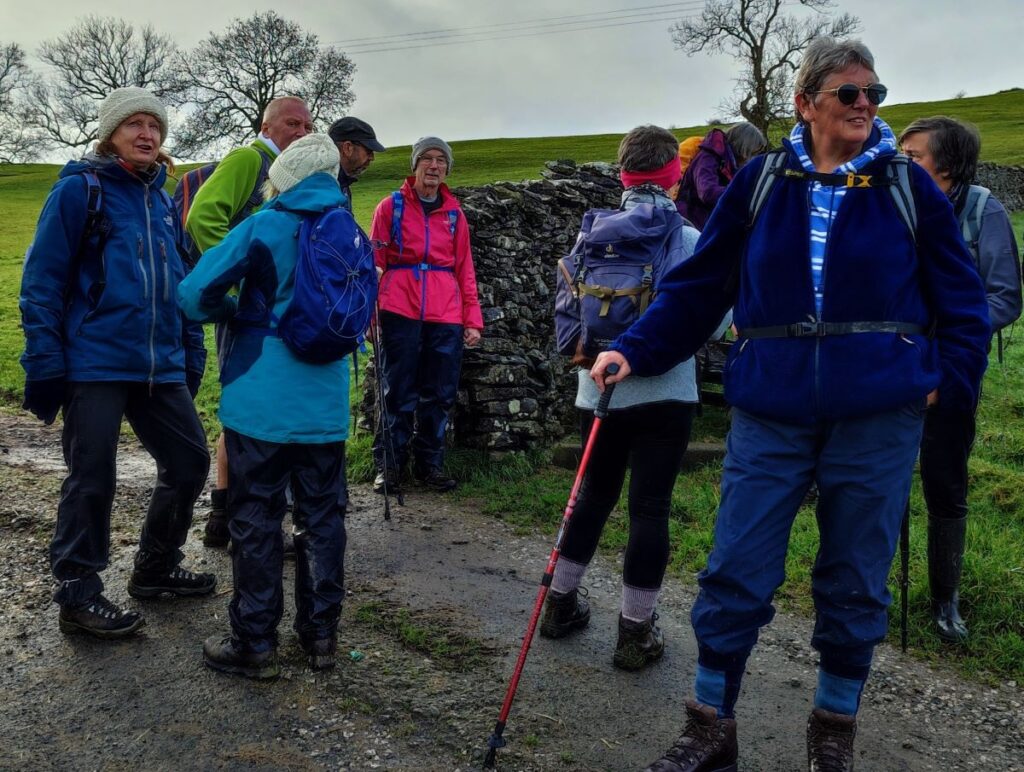
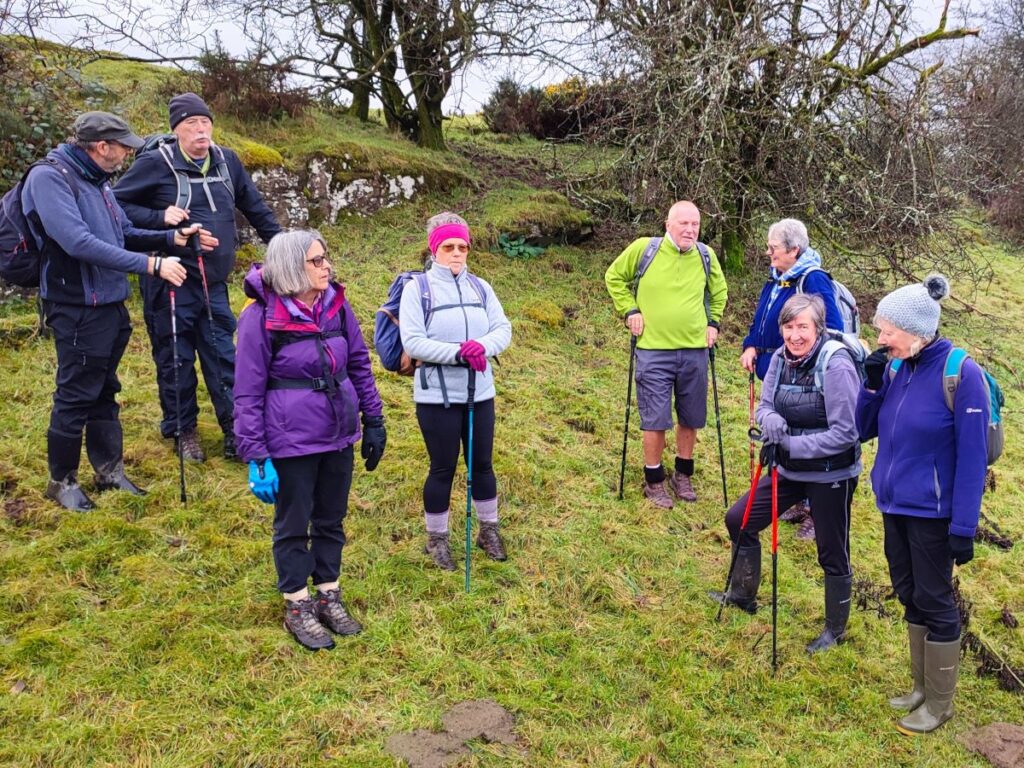
The Bentham Footpath Group have completed a number of great walks in and around Kendal – search on the website for Staveley, Levens or the Lancaster Canal to see some of them. This walk adds to that library and because it intersects with earlier offerings, creates a great opportunity to build our mental map of the area.
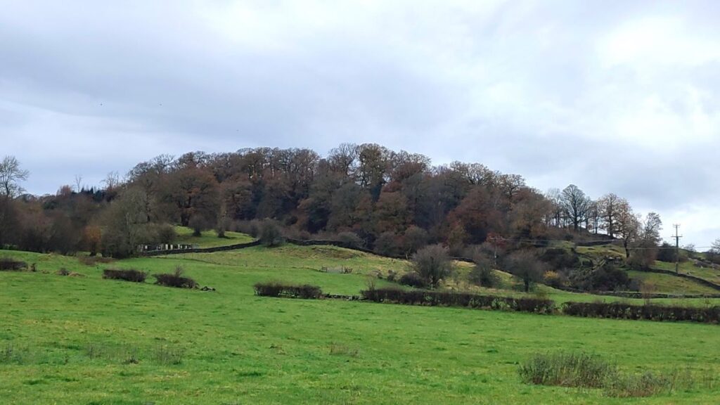
We start from a layby on the “old road” – once the main route from Kendal to Windermere – and then walk through woodland on Rather Heath passing the edge of Ratherheath Tarn before striking out to Plumgarths where we visit the Cumbria Wildlife Trust’s gardens. We then head parallel to the A591 before crossing onto Kendal Fell at Helsfell Nab. Unusually for a BFG walk, we then go into the outskirts of a town (Kendal), for lunch in the park, before we head out to Burneside. We have a good look at the Church and the paper mills before heading upstream along the Kent to Bowston on a section of the Dales Way. A final section over the railway, then under the main road brings us back to our starting point.
- Total distance 14.1 km (8.8 miles)
- Total ascent 212 m
- Moderate walk
Step-by-Step
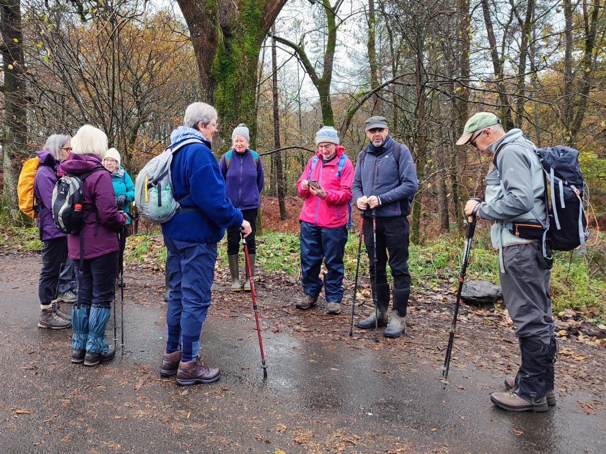
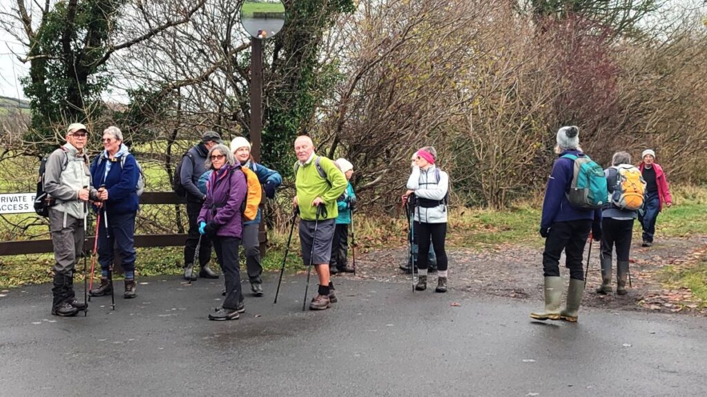
We start at a layby just off the A591 on a section of road that since the new bypass was built has become a pleasant backwater and a great place to park to start a walk. To find it, take the A590 until it becomes the A591 and head toward Windermere. At the Plumgarths roundabout, take the road to Windermere (still the A591). There is a short section of dual carriageway, and just before this ends, look for signage to a caravan and camping site on the left – this is Ashes Lane. Head down there for about 120m until the road forks, and park on the right branch in any one of several laybys. The grid reference for the starting point is SD48659625, whilst the what-3-words tag for the layby we parked at is interview.rival.custodial. If you are using Satnav to get there then try Ashes Lane, Staveley, Kendal, LA8 9JS as a destination.
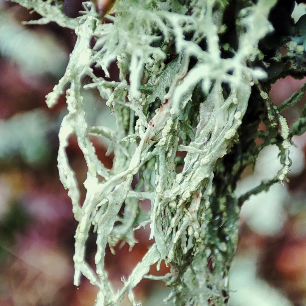
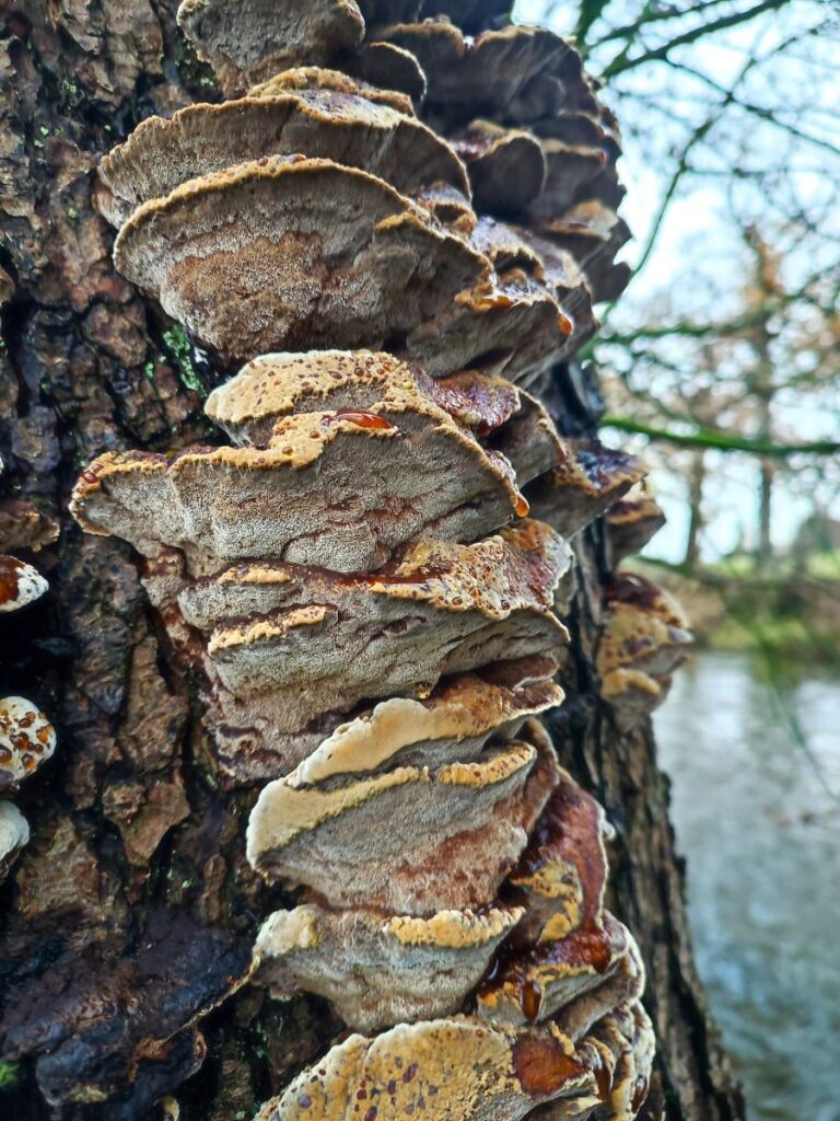
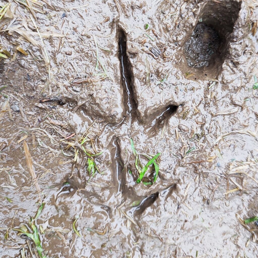
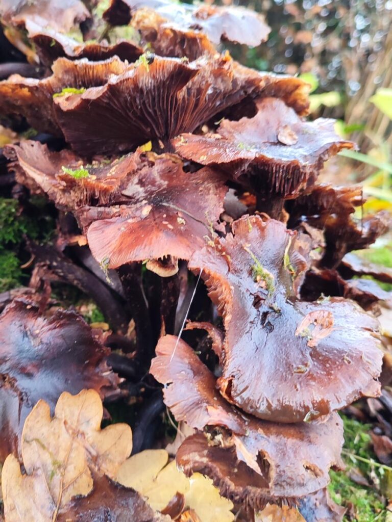
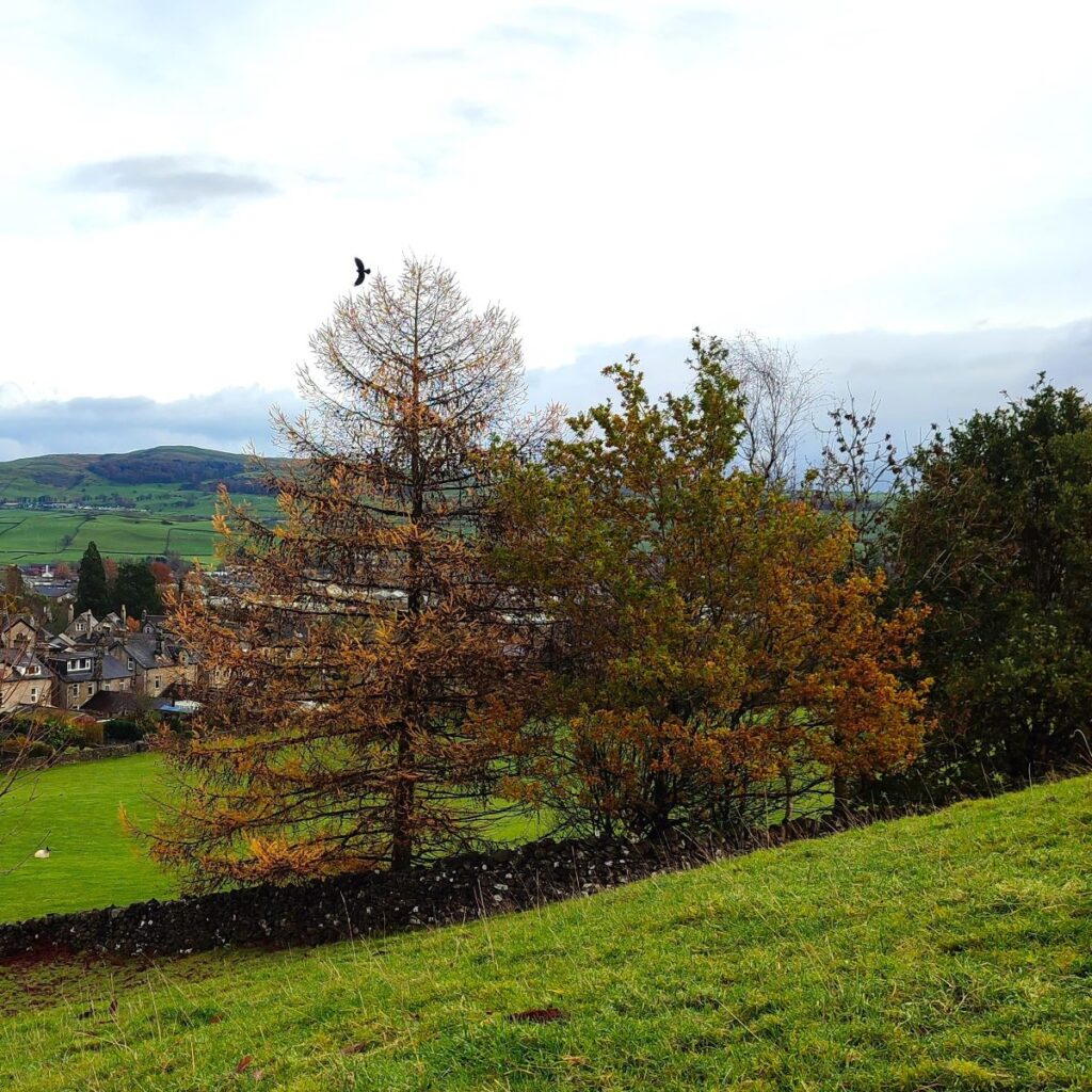
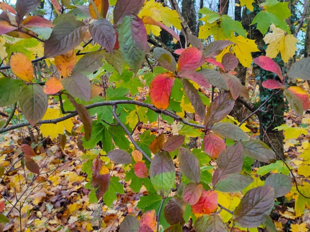
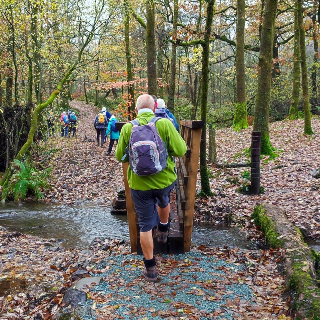
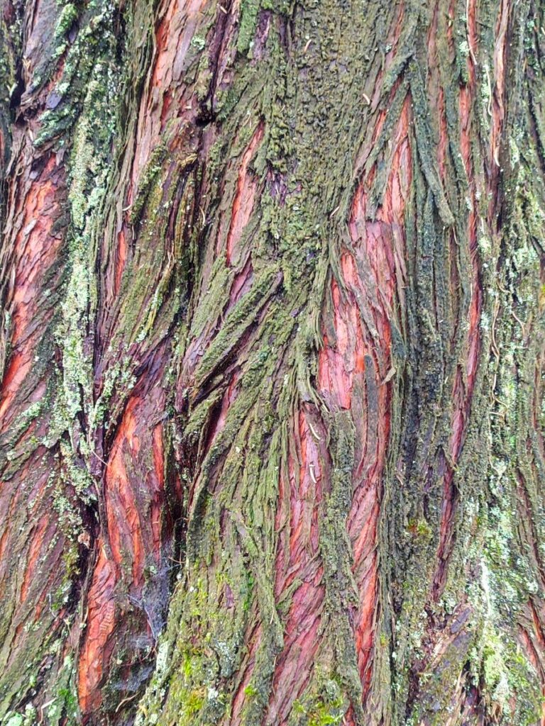
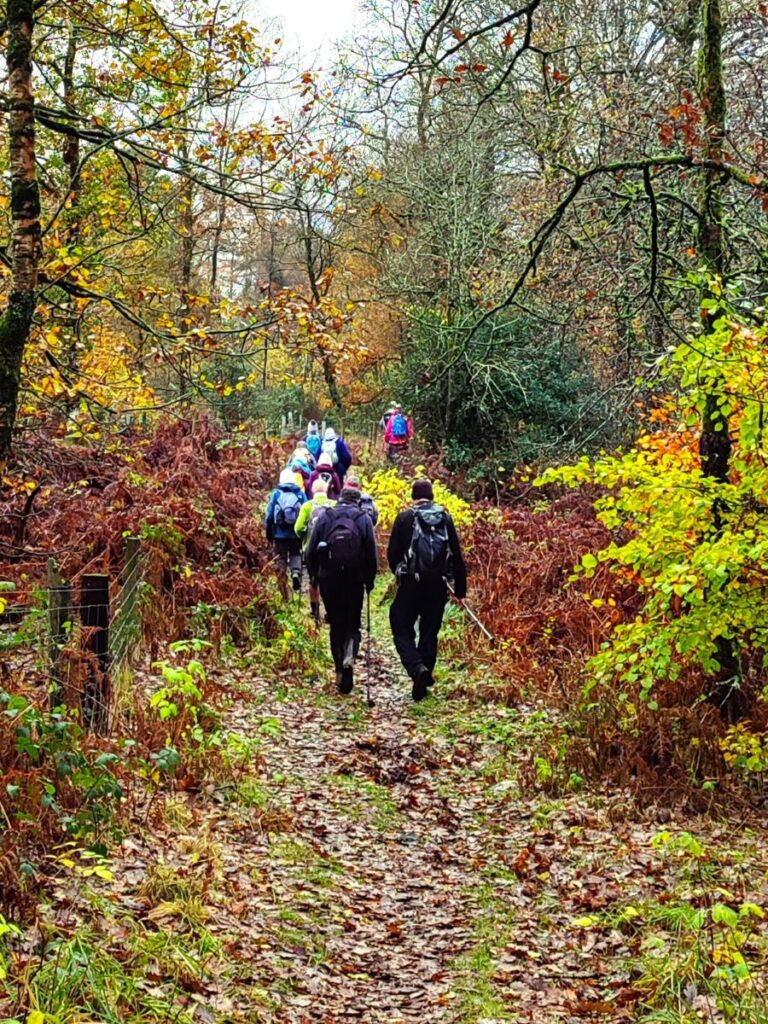
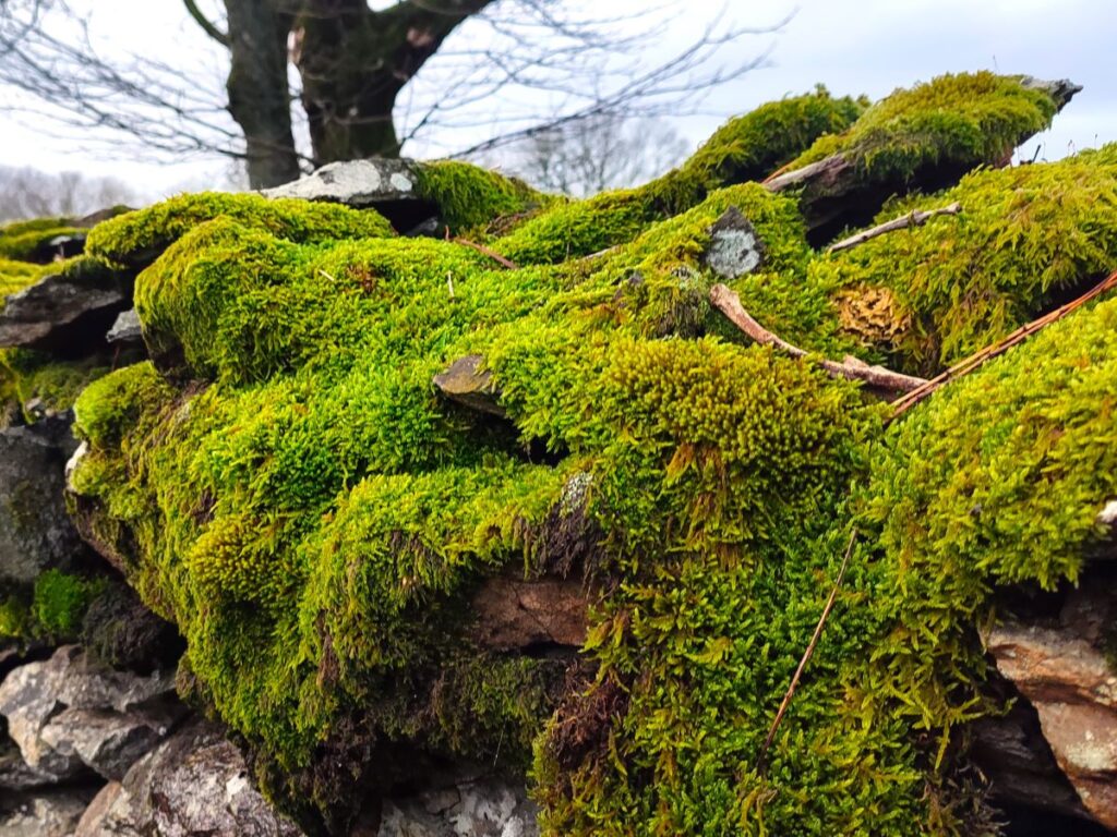
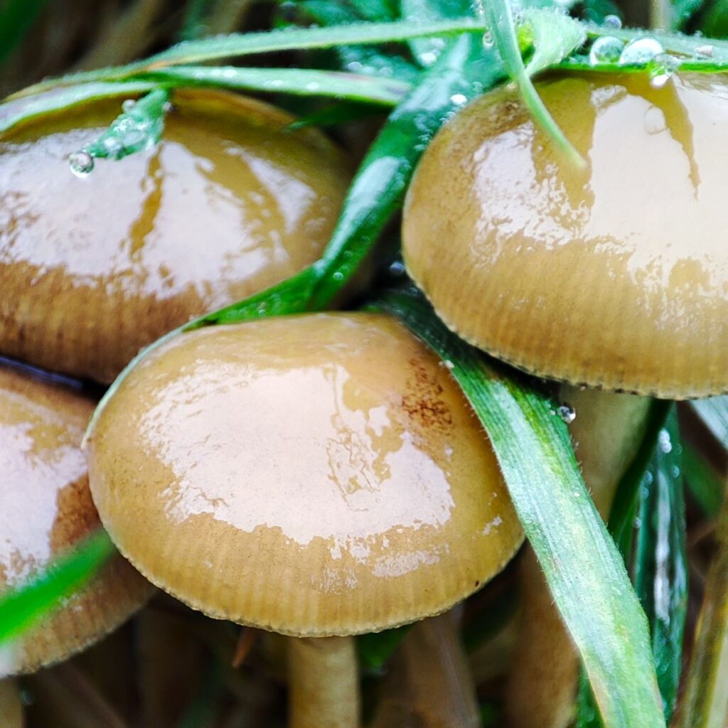
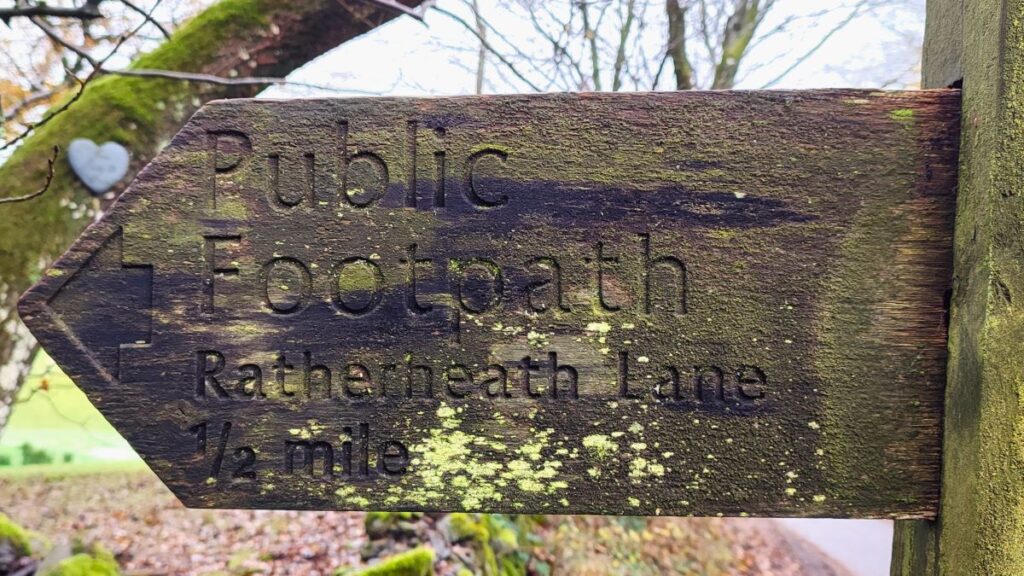
We start by heading along the road, looking for the public footpath sign on the left hand side of the road – this takes us into the woodland at Rather Heath, along a clear path. We follow this in a generally South-westerly direction for 50m to cross a wooden footbridge and then continue for a further 50m until we arrive at a minor road – this is the left hand fork off the road we saw when we arrived. We cross and continue along the same path, until we get to the edge of Ratherheath Tarn. The name suggests that this will be one of the delightful mountain tarns that so characterise the Lake District – not so: Ratherheath Tarn is an artificial lake created for fishery purposes. It is privately owned and not accessible to walkers – the enormous ugly fence ensures compliance as well as ensuring that otters are kept away from the fish. Fortunately, the woodland offers much to see with a good selection of fungi, late berries and wonderful autumn colours during our walk.

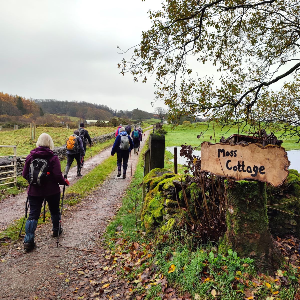
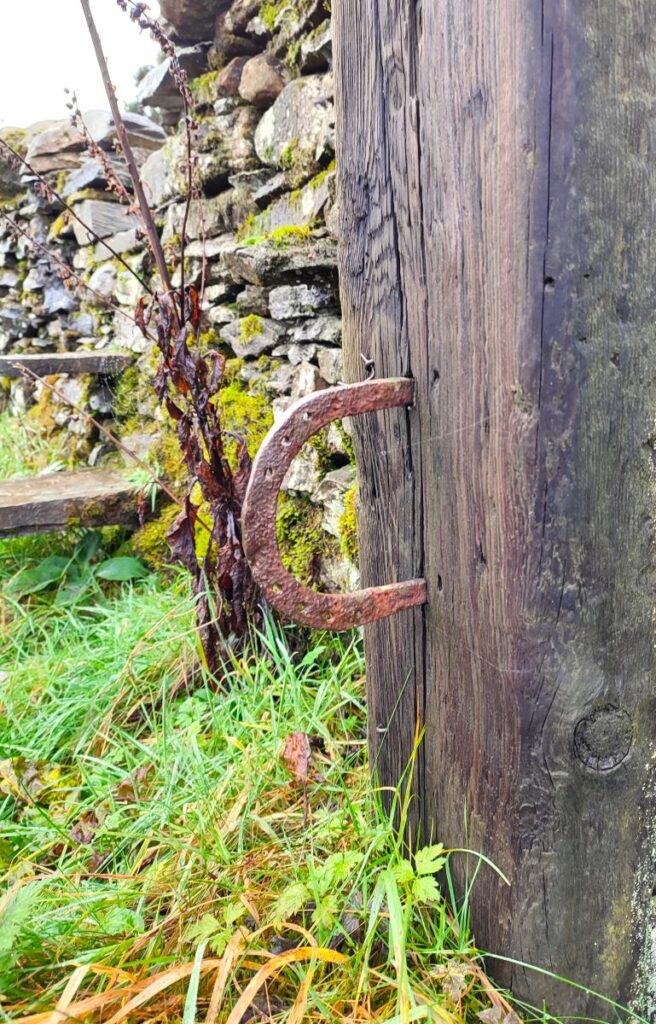
We continue with the path, crossing a stile where we noticed a horseshoe used as an ornamental feature, and then continued across the field to a stile onto a minor road – this is Ratherheath Lane, and we turn left to walk along the road for a short while – it is unlikely that you will meet any traffic. After no more than 150m we find a track on the right hand side heading South down to Moss Cottage – ahead we can see a group of farm buildings – this is Moss Side.
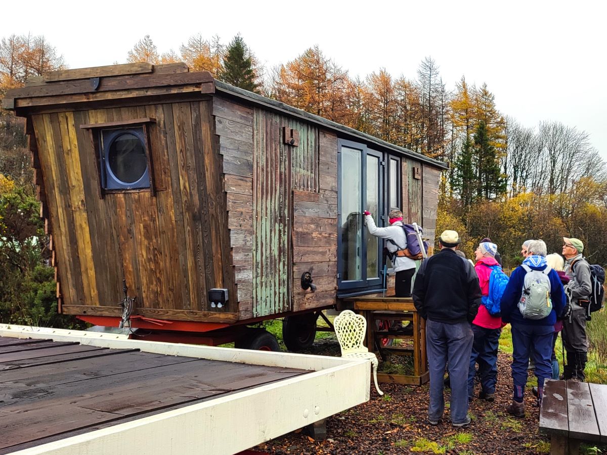
Just before we get to the farm, the track heads left into what at first looks like a small industrial area – there is a fascinating business here where an entrepreneur takes long disused hay wagons and converts them into mobile shepherd’s huts – we had a good time chatting to him and looking at a finished hut awaiting delivery.
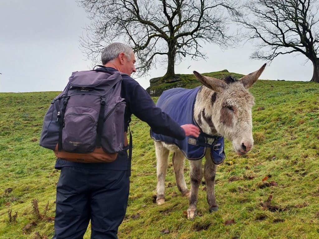
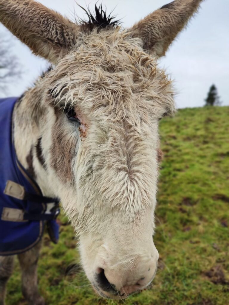
The path continues past the side of a pond through a field with friendly donkeys, and then over a stile heading Southeast toward a large house at Bank End. The path skirts an area of woodland before arriving to the right of the house, and we then pick up the track to the house heading out to the right.
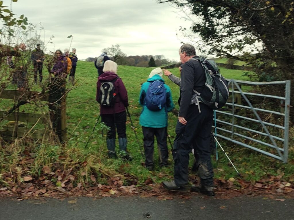
We stay on the access track, heading South for no more than 100m, and need to look for a footpath sign heading up through a gate on the left hand side of the road – on the day of our walk this was partially obscured by a fallen tree, so some searching may be needed here. From here the path continues along the field edge crossing several stiles and eventually arriving at a minor road – we are now at Plumgarths.
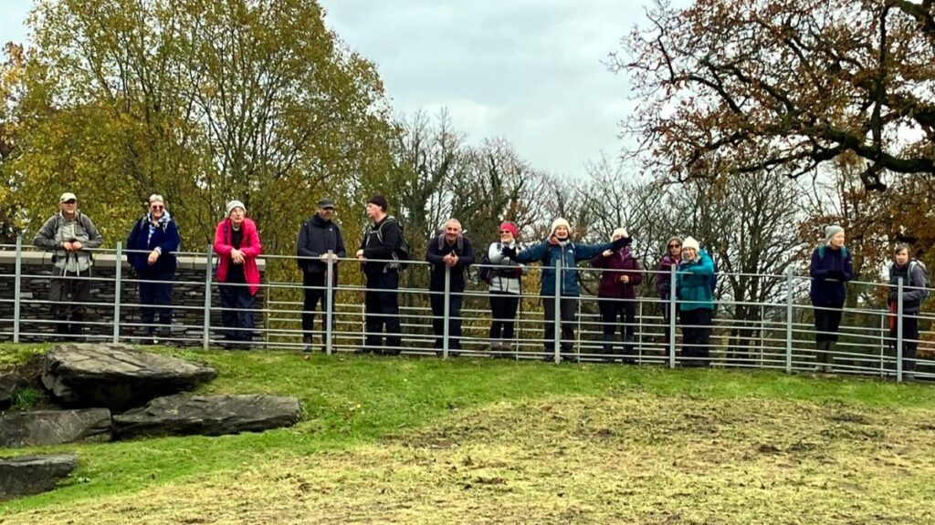
At the road we head left – so no change of direction – and walk along the road for 100m until we arrive at the head office of the Cumbria Wildlife Trust. This is not a visitor centre in the usual sense – it’s a working office, but visitors are welcome to explore the gardens – there is something of interest here in all seasons, so we took the opportunity to sit here for a while and enjoy a brew. Click here to visit their website:

Fully refreshed we return to the road and head left again, where we immediately see what could be an alternative (or additional) place to stop – the Plumgarths Food Park – a collection of high quality artisan food producers including The Two Sisters Café, Ginger Bakers, The Wagtail Kitchen, Rinaldo’s, and Lovingly Artisan, all centred around the Plumgarths Farm Shop. This is also accessible from the Plumgarths roundabout, so if you want to sample their delicious wares without carrying a shopping bag round the walk, pop in on the way back home.
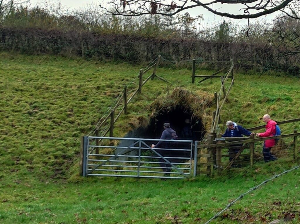
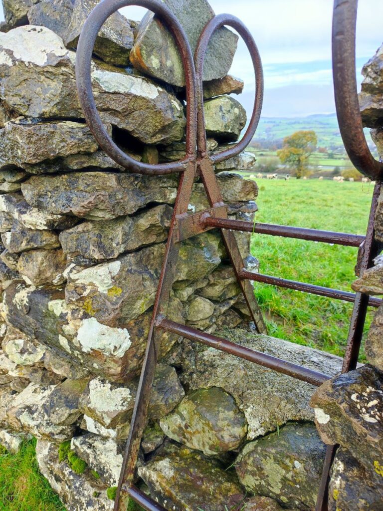
Our walk continues along the right hand side of the road just past the farm shop, and we need to look for a gate into the fields about 50m before we get to the roundabout. The path from here heads south – parallel to the main road – and gently uphill through three fields until we meet a farm track coming up from a tunnel under the road, and then on to the farmhouse ahead. We follow the track uphill until we get to Helsfell Farm and follow it between the house and barn before turning hard right to walk behind the house and over to a stile in the drystone wall which features an unusual ornamental wrought iron ladder.
As we climb down from the stile we look to the left and see a footbridge over the A591 – this is where we head next.
On the far side of the bridge, we have a choice of paths. Our route is to the left and downhill back along the far side of the main road, bit it’s worth noting that there are alternatives to the right which go to Kendal Fell Quarry and straight on which explore the top of Kendal Fell and Kettlewell Crag.
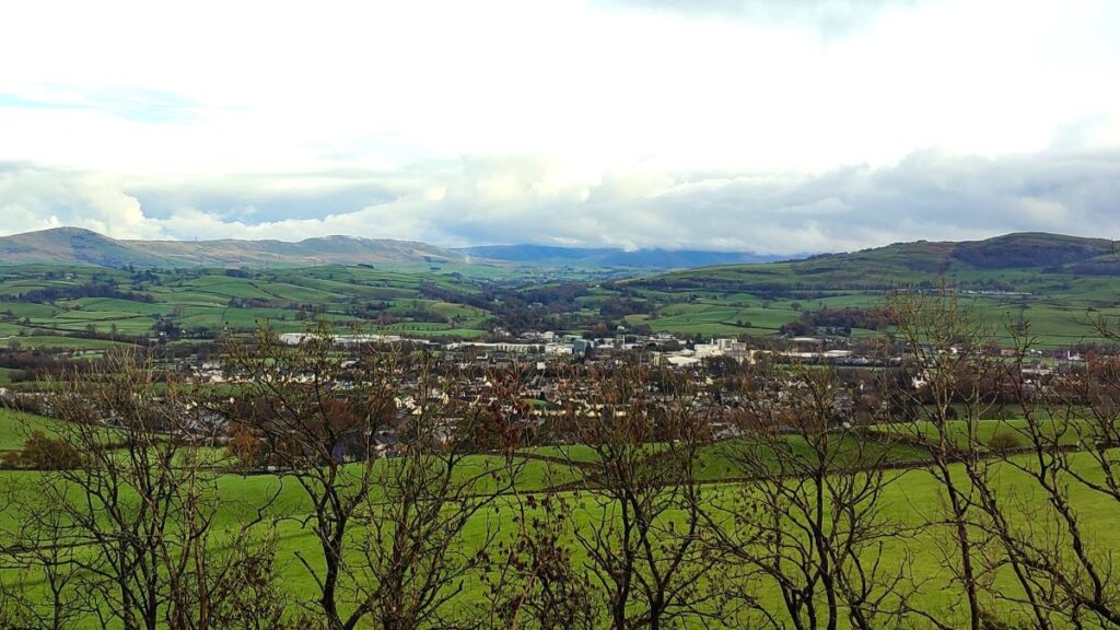
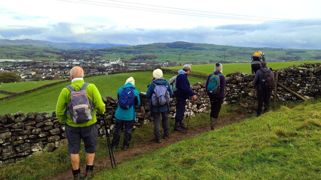
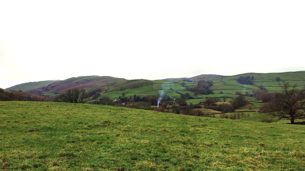
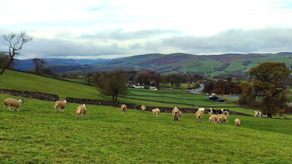
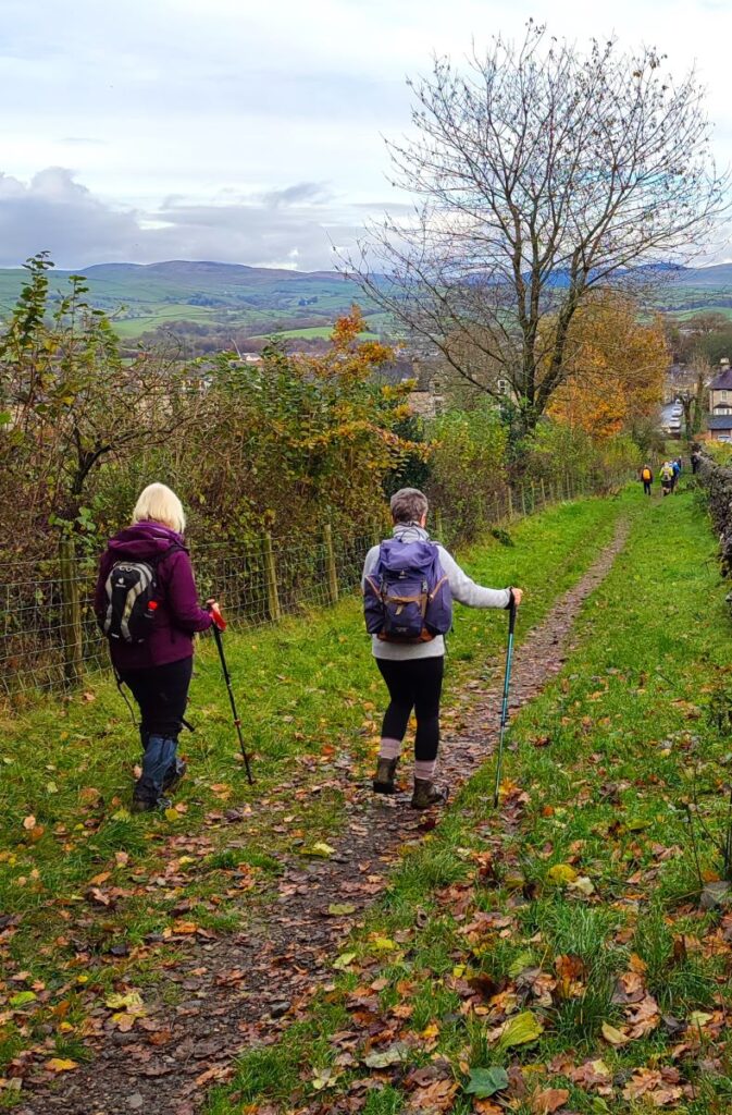
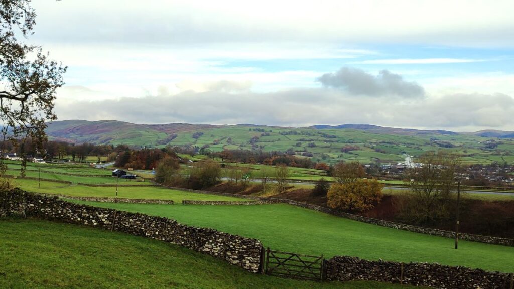
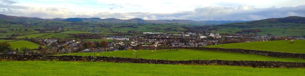
As we follow the path down the side of main road (far enough away so that traffic noise is never an issue) we have Helsfell Nab to our right, Cunswick Fell over to the left and a great view of Kendal and the Lakeland hills beyond straight ahead.
After following this path for about 200m, we see a large barn, and the path turns right to track along the contours toward the woodland at the base of Helsfell Nab – we found lots of interesting fungi growing on rotting wood in here, before exiting back into open fields to follow a path, which becomes a track, finally arriving at allotments on the edge of the town centre.
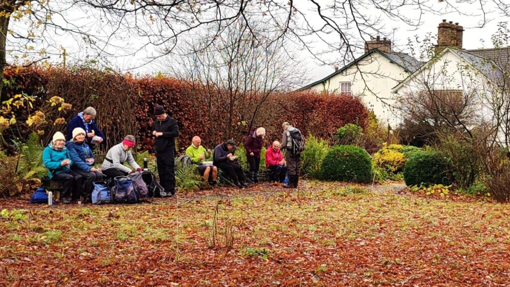
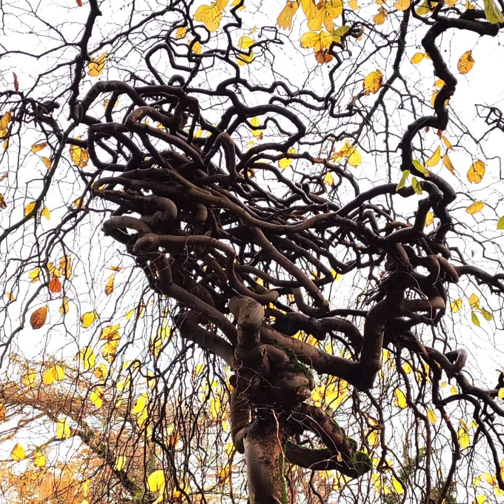
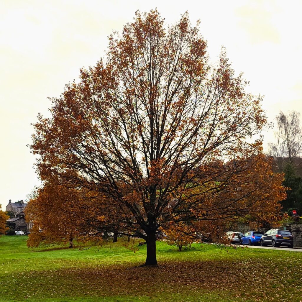
We take a clear track down hill and past the side of the allotments to arrive at a main road – this is the A5284 Kendal to Windermere road. We cross and head left for just a short while (50m) before heading right into Fairfield Lane. We follow this for 100m and then emerge into a delightful park with wonderful mature trees overlooked by grand Victorian houses. This is a great place to stop for lunch – there are many benches to choose from.

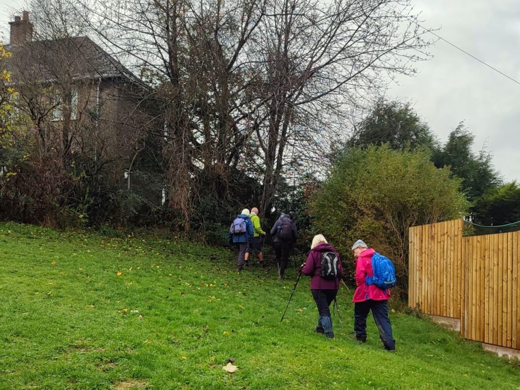
We are now about half way round the walk, and to start the return journey, we head back to where we emerged from Fairfield Lane and head left again, following the road uphill for 50m and then left into Underley Avenue, where we find a narrow passage between the houses and back into more open land, where we are presented with a choice of two paths – we took the left hand option, but in fact it makes very little difference, both go down to the same road (Low Garth) which follow to the right.
We follow Low Garth round in a loop looking for an area of grassland on our right where the footpath exits back into open countryside – there is a sign but it’s easy to miss.
At the end of the passage between the houses we cross a stile and then head Northwest toward farm buildings at Lane Foot. We do not go as far as the farm however as the path curves round to the right a little such that we skirt the front of the farm and then head North toward Burneside.
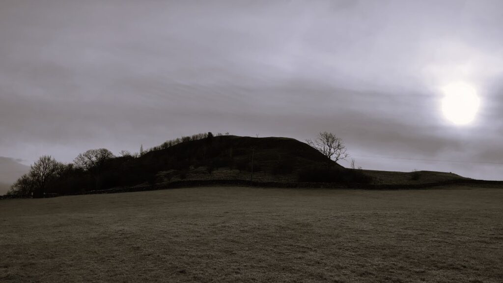
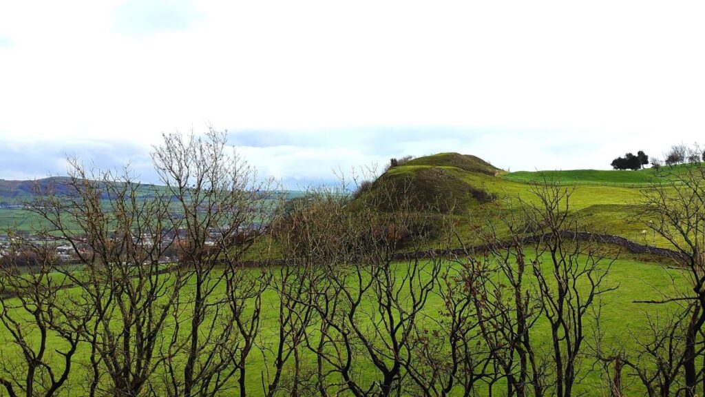
As we cross the fields, it’s worth glancing to the left to see the Elba Monument. There is a curious story behind this obelisk; It was built in 1814 to celebrate the imprisonment of Napolean on Elba, and a plaque was planned to indicate that this was the reason for the structure. However, by the time the monument had been built, Napolean had escaped, and it therefore seemed that that addition of the plaque would simply draw attention to this failure. The monument stood there with no explanatory inscription for a full century until a plaque was added in 1914 explaining the original purpose. Click here to find out more.
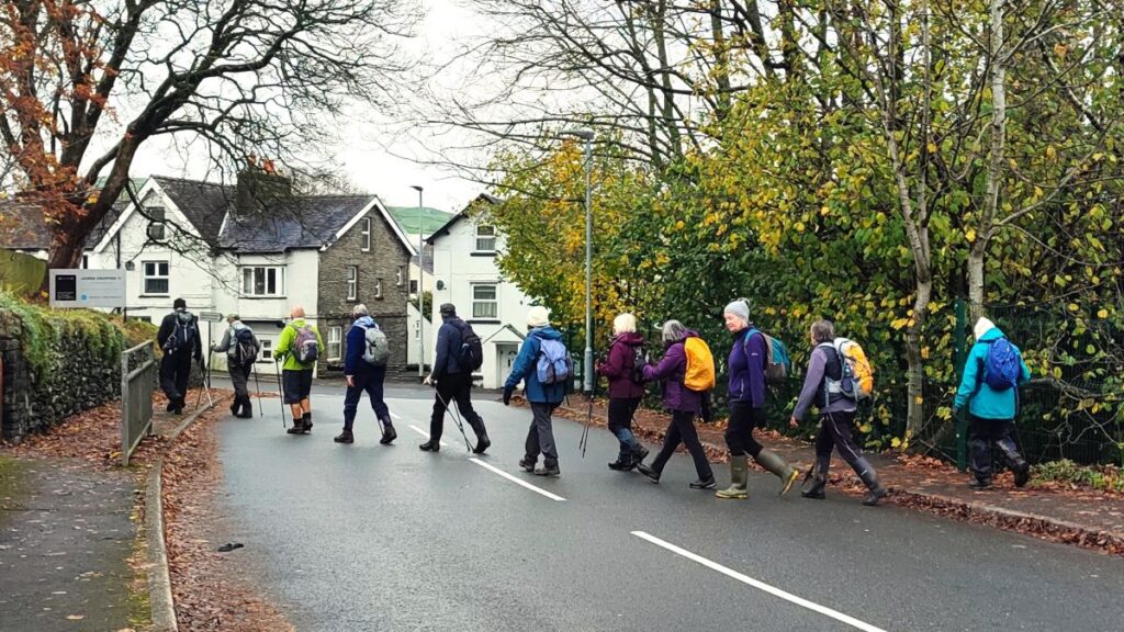
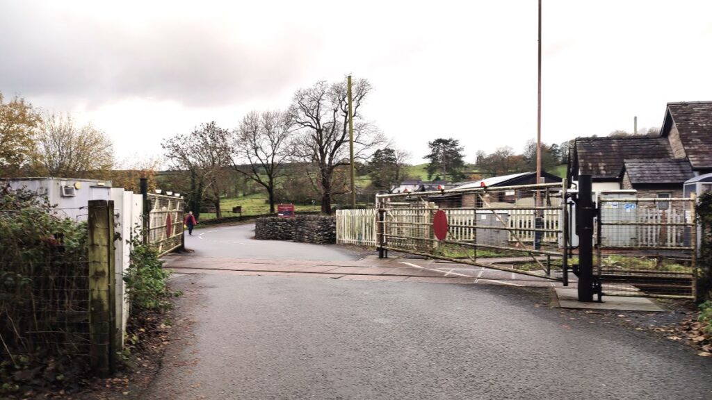
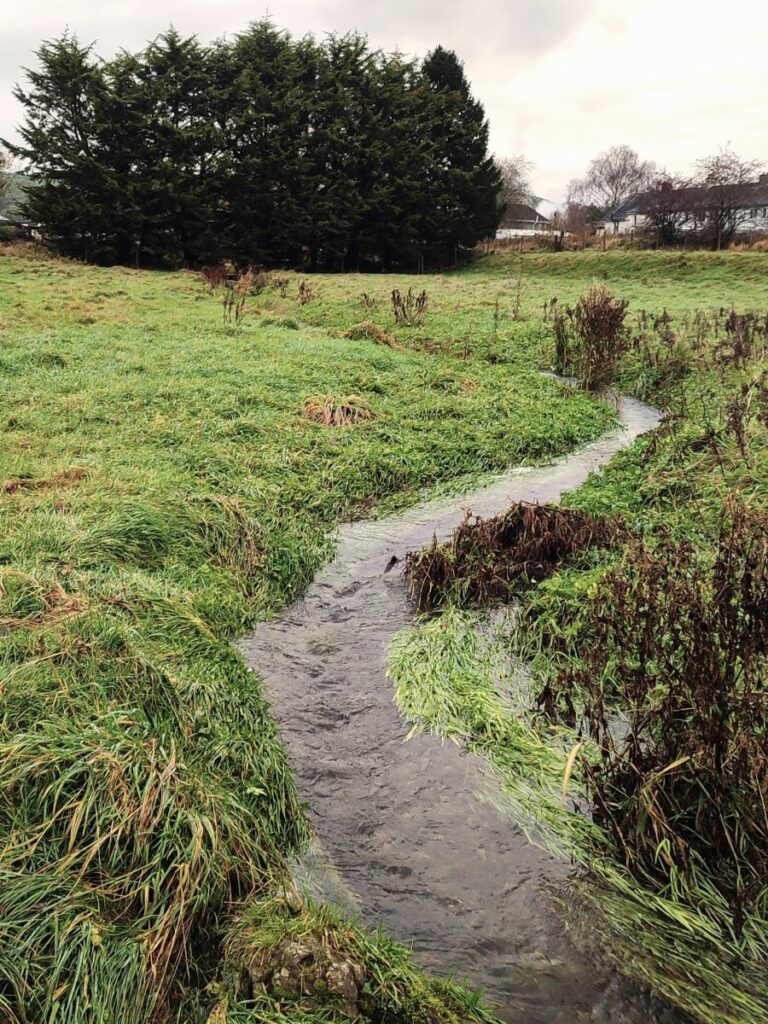
We cross a beck, and then the path forks – we head right getting closer to the railway line over on our right. If you make a mistake here, don’t worry too much the path on the left also goes to Burneside. We press on heading consistently North and after a few muddy gate holes have been negotiated come up to Burneside at the cricket and football clubs where we meet a road (Hollins Lane). We head right and cross the railway at a level crossing – this crossing became quite famous when a car driver had a well-documented near miss with a train – click here to see a jaw dropping video.
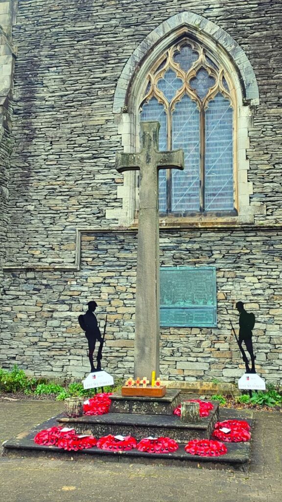
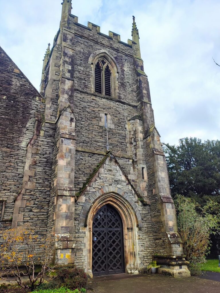
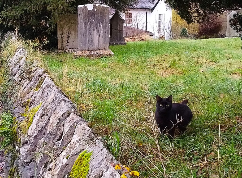
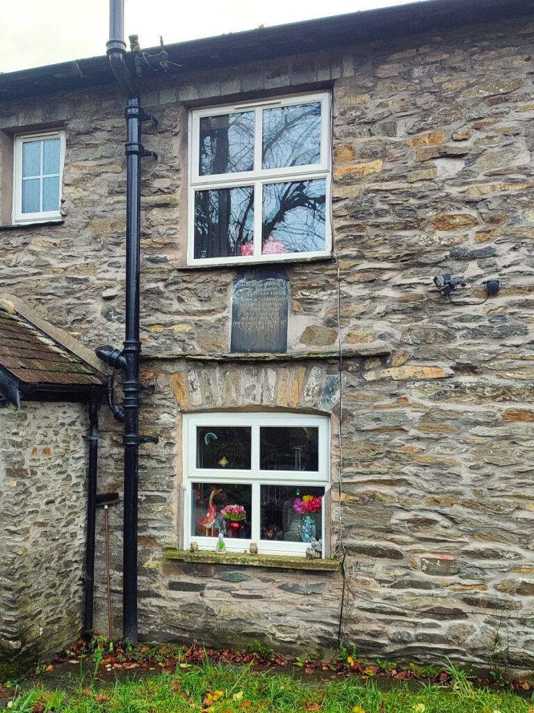
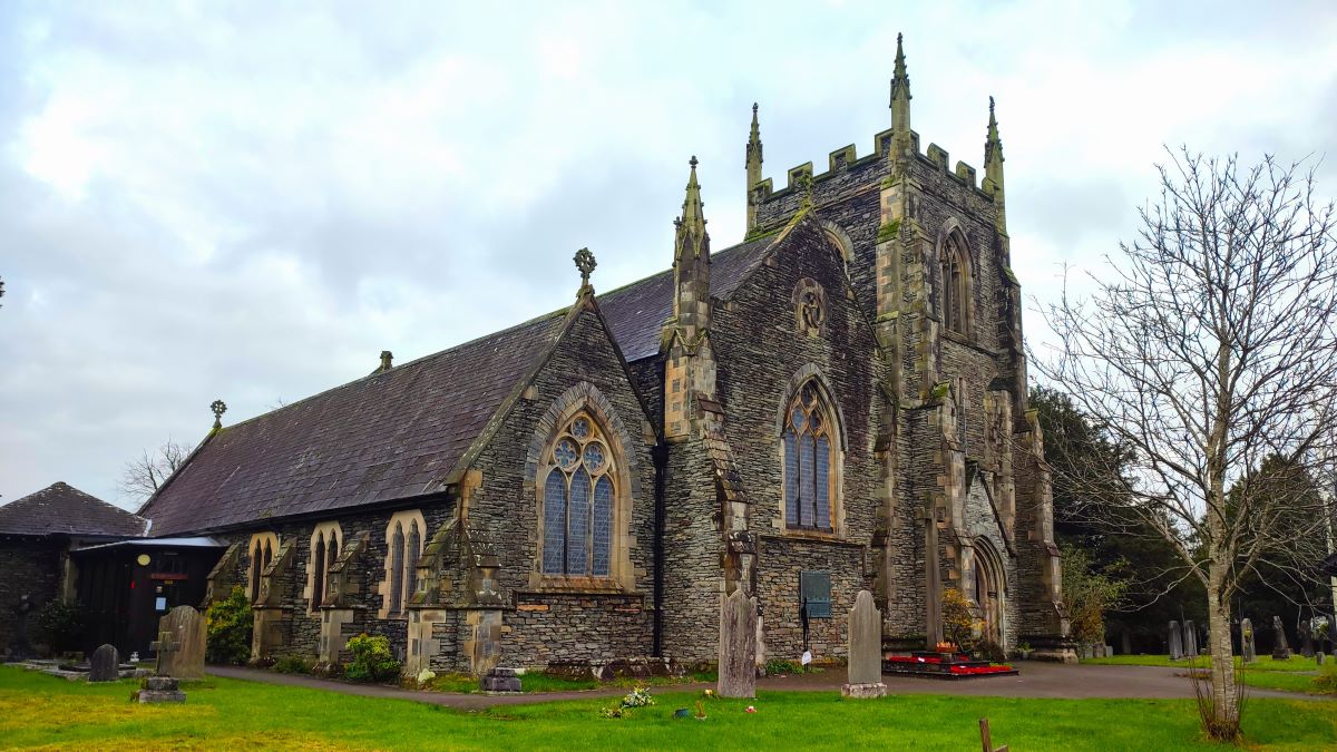
We follow the road for a little while until after about 120m we arrive at a T junction. We head left here and see the church of St Oswald ahead on our right. This rather fine late Victorian church was designed by Ferguson – presumably Austin and Paley were too busy.
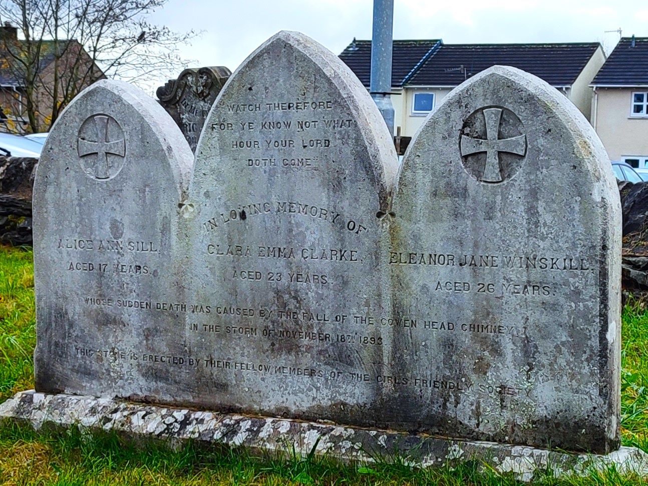
The site is large and hosts a Commonwealth War Grave, and among the civilian graves there is a rather poignant triple gravestone where three young women all killed when a chimney collapsed at Croppers Mill, Cowan Head are buried. Given their similar ages and the location, it seems likely that all three were employed at the mill when the chimney blew down.
We take a right turn at the side of the church and head toward the James Cropper plc paper mill – the dominant employer in the village for many generations. The role of the papermill in the local economy is a well-documented and is an interesting story. Rather than try and summarise it here click here to see an excellent website with all the detail:
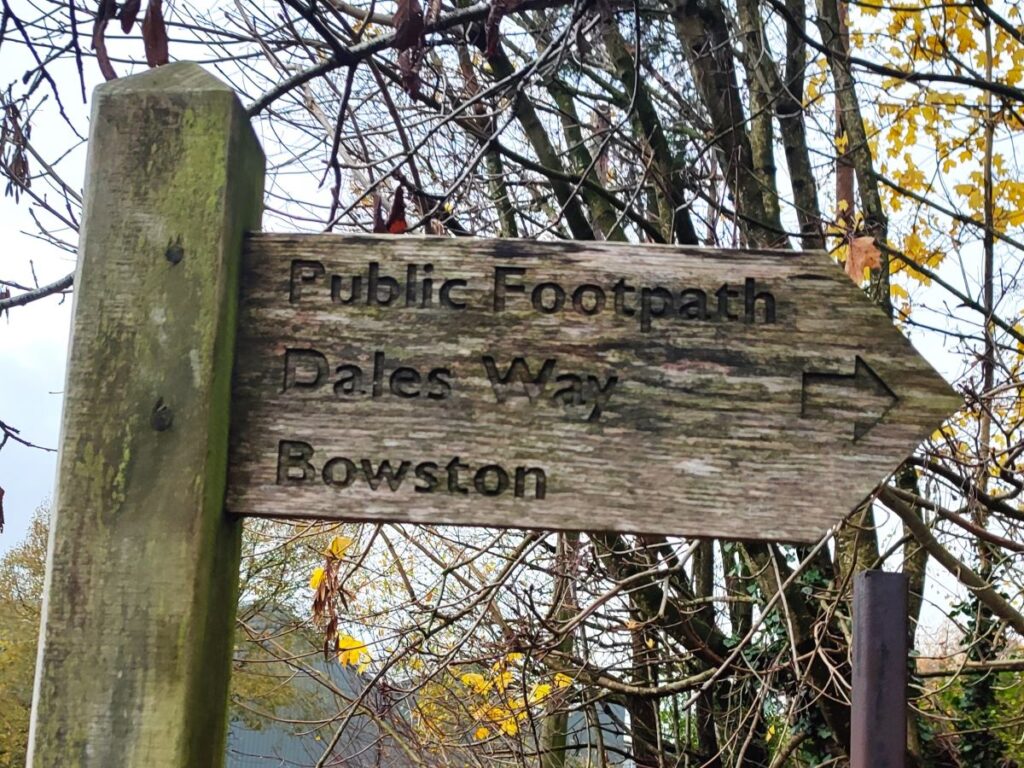
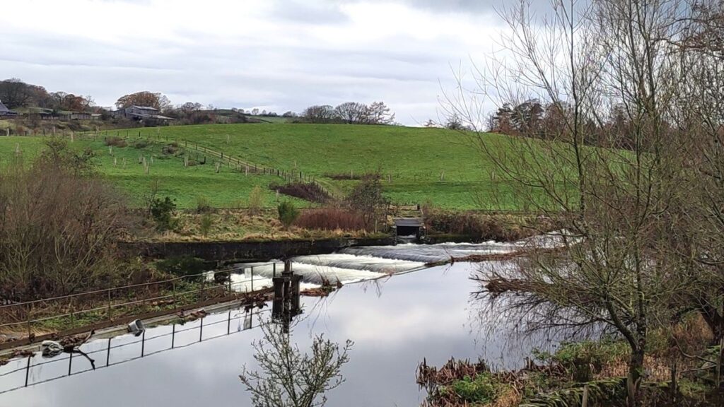
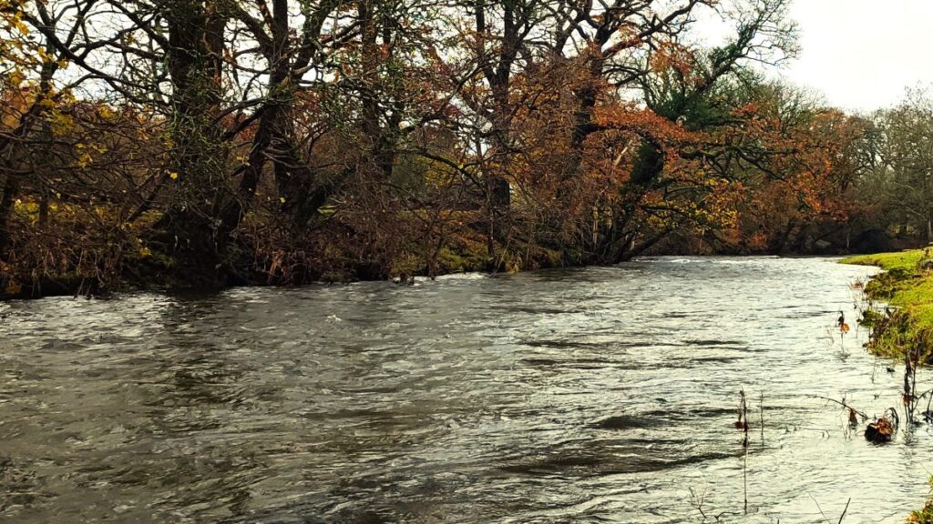
Our route from the paper mill is downstream along the right hand side of the river Kent and down to the first road bridge where we cross and head slightly uphill on Hall Road. We soon see a footpath sign on the left hand side of the road and pick up the Dales Way on a path that loops round the back of the mill and returns to the river so that we can follow it upstream. Once at the far side of the paper mill, we can see the weirs that were built to provide a steady head of water to the waterwheels that once powered the mill.
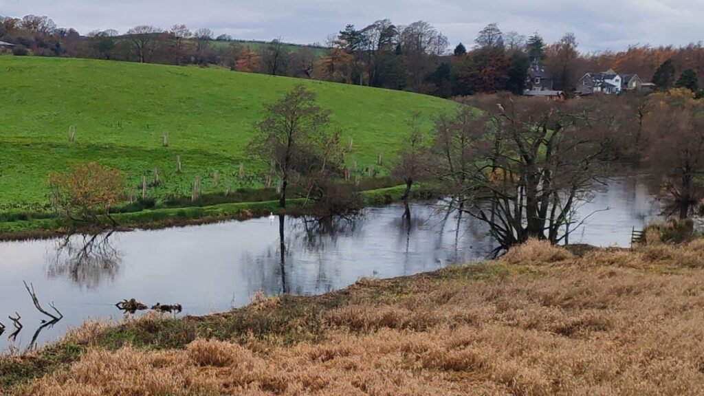
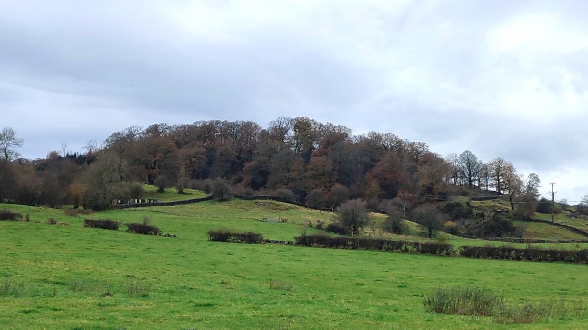
We follow the right hand bank of the Kent for a while now – this is a good area for bird spotting so keep your eyes open for herons and woodpeckers. After about ½ mile we arrive at Bowston where there is a road bridge over the river. The Dales Way way path moves to the left bank of the river here, so we cross the road bridge and follow the road round to pick up the footpath on the left bank of the river – this arrives at a minor road after about 200m and we need to turn left to head away from the river. Just before we do though, it’s worth looking ahead to the hill at Cowan Head – the mill complex where the chimney collapsed is sited just to the right of the hill.
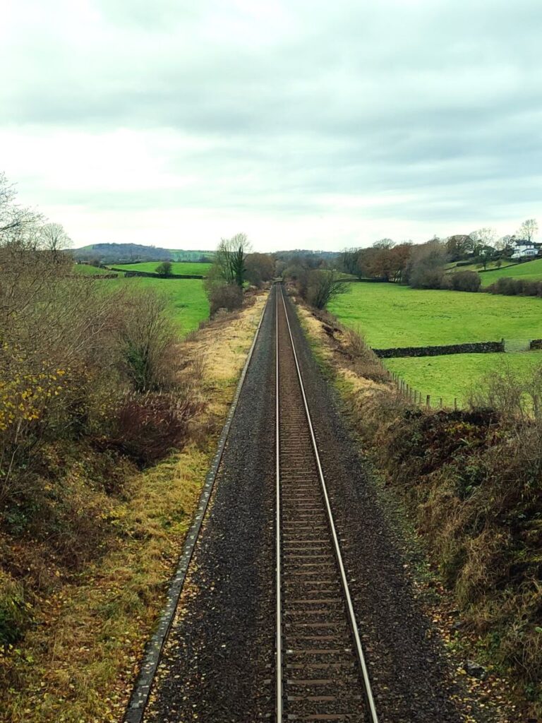
We now walk up to the T junction at Winter Lane and look for the path continuing almost opposite – the path heads South across a couple of fields to meet a track where we turn right to cross the railway line at a bridge. We follow the track and after a while it approaches a house where we pick up the access road and head back toward the busy A591.
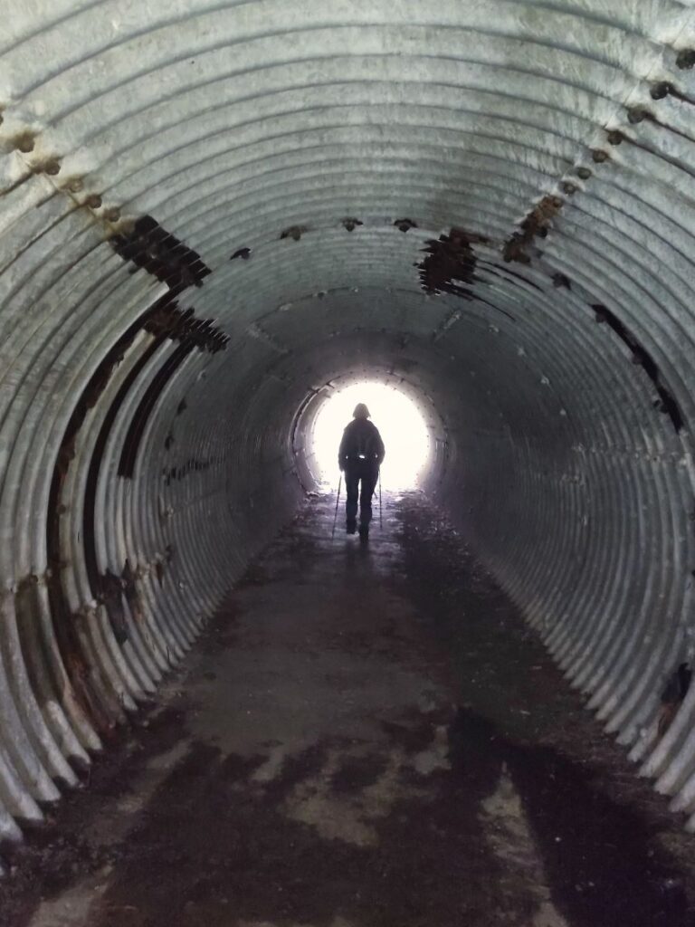
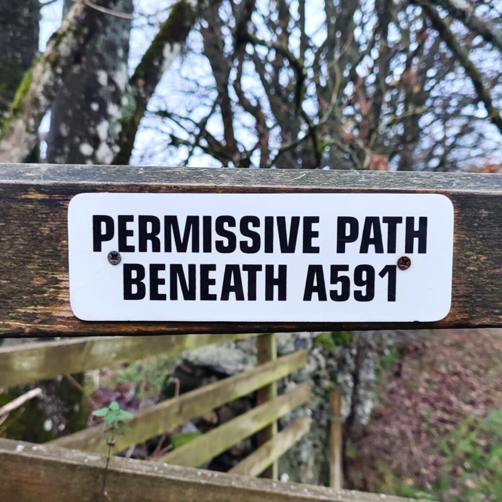
We need to cross the main road to get back to our cars, and the best way to do this is via the permissive path under a subway to the left of the access road. Once through this, we bear right and cross a stile before following the wall back to the minor road where we started – we are slightly downhill of the start, and so need to walk left up the road for a short distance to finish.