Moderate

Flookburgh, Cark and the coast

8.3 miles | 13.4 km | 138 m Ascent | 9.0 Naismith miles | David & Sheila Longton
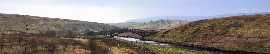
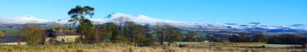
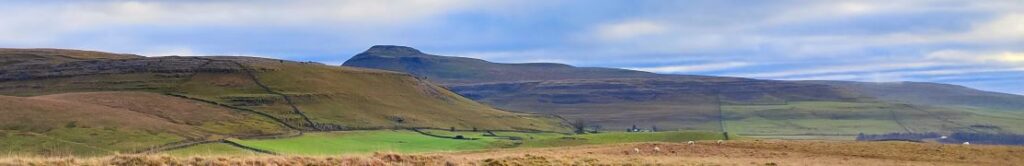
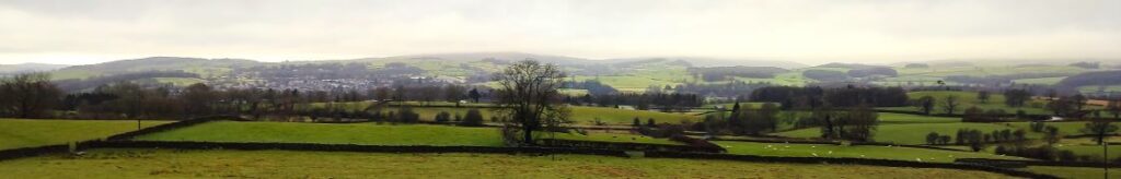
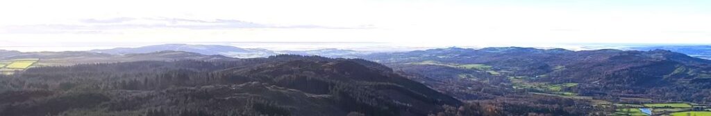
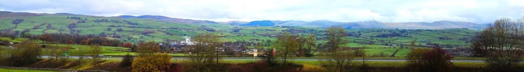
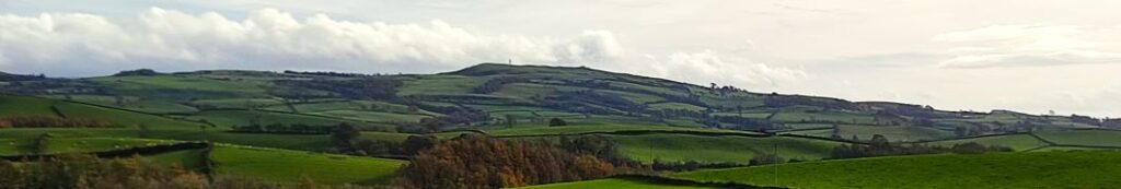
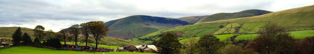
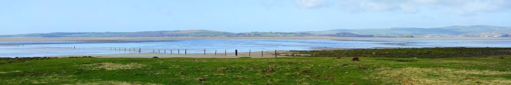
A number of Bentham Footpath Group walks feature views of Morecambe Bay – usually with the Kent or Levens estuaries as the backdrop to higher level walks such as those at Cartmel or Silverdale. This time we do the full seaside experience: Starting at Flookburgh, we walk along the coast getting sand on our boots for a while, before heading inland to Cark, on to Low Bank Side, then across the valley to Templand before returning on a route running through trees below Boarbank Hall. On the way we pass old airbases from both world wars, atmospheric salt marshes, bridleways across the bay, signs of the old shrimping industries, grand Italianate houses, and the odd lime kiln.

Flookburgh, Cark and the coast Read More »

Far Moor Bridge and Ribblesdale

7.8 miles | 12.6km | 297 m Ascent | 9.3 Naismith miles | Sandra Craggs
Horton in Ribblesdale is a great place to start a walk, and the “three peaks” are the big draw with Pen-y-Ghent an obvious choice, as is the Sulber Nick route over to Ingleborough.
Both are good walks, but there is much else to see in this area, as we show with a route including a tarn, the stunning Far Moor Bridge, disappearing rivers, atmospheric lime kilns, a National Nature Reserve, extensive limestone pavement, and vast quarries, all of which is accessible via the Settle to Carlisle railway. What more could you want? A blue lagoon? – well there was one until recently, and we can offer pictorial evidence.

Far Moor Bridge and Ribblesdale Read More »

Sunbiggin Tarn and Great Asby Scar

7.9 miles | 12.7 km | 233 m Ascent | 9.0 Naismith miles | Valerie Eccles & Mary Pickstone
Limestone pavement is one of the defining features of the Yorkshire Dales, and when asked to think of an example, most people mention Malham: that pavement and the Cove are indeed spectacular, and Bentham Footpath Group have enjoyed a number of good walks there.
This walk however visits the much larger (15 square miles) and rather more secluded Great Asby Scar National Nature reserve. Malham famously has a tarn, so we throw one of those in and start at Sunbiggin tarn before taking a gentle climb to the scar using the Dales Highway path. We then head west along the top of the scar and visit Castle Folds, the remains of a Romano-British walled settlement. From there we pick up the path coming up from Asby Winderwath Common and circle round the scar to head down to the Gamelands stone circle, before taking the Coast to Coast path back to the tarn.

Sunbiggin Tarn and Great Asby Scar Read More »

Bents moorland

7.7 miles | 12.3 km | 279 m Ascent | 9.0 Naismith miles |Ed Badley
A quick glance at the pictures associated with this walk will show you that we undertook this route on a beautifully crisp icy day – but the date was not as originally intended: our plan had been to walk at Ribblesdale, but the risk of black ice on the journey over prompted this last minute swap.
The walk showcases the best of the local area – with views of the Three Peaks dusted in snow, horses running on the moorland, an exciting clamber down to the delightfully named Burbles Gill using steps installed by BFG many years ago, a view of the Big Stone, and then a walk across the moorland at Bents where we have great views of the Lakeland Fells. We then go to Low Bentham and head up the riverside path back to High Bentham. We love it when a plan comes together.

Bents moorland Read More »

Kingsdale via the Turbary Road

8.0 miles | 12.8 km | 337 m Ascent | 9.6 Naismith miles | Mary & Kate Taylor
Walks for the Bentham Footpath Group are planned in four month programmes – which means that the date of this walk was fixed in September 2023. It could easily have been the case then that we encountered miserable rain with poor visibility whilst sliding around in ankle deep mud.
But we were lucky – we could not have had a better day for the start of 2024 – bright sunshine and clear air on the tops and atmospheric inversion clouds in the valley bottoms were even more beautiful than the pictures convey. Add potholes, caves, natural fountains, ancient monuments, and informed guides, to make for a perfect start to the new year.

Kingsdale via the Turbary Road Read More »

Barbon Beck and Brownthwaite

8.2 miles | 13.3 km | 385 m Ascent | 10.2 Naismith miles | Rick Clapham
Barbon is great place to start and end a walk. Not only is there convenient parking – either at the layby at Hodge Bridge, or at the Village Hall – but there is a great deli and a highly rated pub, the remains of a Roman Road, the course of a disused railway, grand houses, ancient stone circles, and a motor sport venue.
This moderately challenging walk offers all that, plus artworks by Andy Goldsworthy, great views down the Lune Valley, an invigorating climb up Brownthwaite, a very attractive waterfall, and then an easy finish along the banks of Barbon Beck in the grounds of Barbon Manor.

Barbon Beck and Brownthwaite Read More »

Gummer’s How and Cartmel Fell

8.9 miles | 14.3km | 467 m Ascent | 11.2 Naismith miles | Susan Badley
The Bentham Footpath Group typically undertakes about 50 walks each year. Given where we live, many of these will be in the rain or have poor visibility. Sometimes though we are spectacularly lucky with the weather and get to enjoy simply stunning views, and this walk was just such an occasion.
If you follow this route, you may or may not be so lucky, but whatever the weather, this will always be a great walk: We start from a free and convenient parking spot, climb up to one of the best views of Windermere, sharing the How with Luing cattle. We then head over to Sow How Tarn, clip the edge of Middle Tarn, and then go via Heights Cottage onto Ravens Barrow, and a curious monument. From there we visit a lovely ancient church and old schoolhouse, and through fungi-rich woodland to Thorphinsty Hall, through Crag Wood and up to an atmospheric derelict farmhouse en-route to Simpson Ground. We round the day off with a tranquil reservoir, and more woodland with lovely gnarled old trees. A perfect day.

Gummer’s How and Cartmel Fell Read More »

Rather Heath and Burneside

8.8 miles | 14.1km | 212 m Ascent | 9.8 Naismith miles |David & Sheila Longton
The Bentham Footpath Group have completed a number of great walks in and around Kendal – search on the website for Staveley, Levens or the Lancaster Canal to see some of them. This walk adds to that library and because it intersects with earlier offerings, creates a great opportunity to build our mental map of the area.
We start from a layby on the “old road” – once the main route from Kendal to Windermere – and then walk through woodland on Rather Heath passing the edge of Ratherheath Tarn before striking out to Plumgarths where we visit the Cumbria Wildlife Trust’s gardens. We then head parallel to the A591 before crossing onto Kendal Fell at Helsfell Nab. Unusually for a BFG walk, we then go into the outskirts of a town (Kendal), for lunch in the park, before we head out to Burneside. We have a good look at the Church and the paper mills before heading upstream along the Kent to Bowston on a section of the Dales Way. A final section over the railway, then under the main road brings us back to our starting point.

Rather Heath and Burneside Read More »

Levens Bridge and Holme

8.7 miles | 14 km | 115 m Ascent | 9.2 Naismith miles | Ed Badley
Most of the walks that Bentham Footpath Group offer are circular – we need to end where we started because that’s where our cars are.
That’s not a problem in itself, but sometimes there is an attractive route that’s well worth walking, but which offers no route back – without simply turning round.
So, here’s a solution: This walk is linear – we park at Holme and get the bus to Levens Bridge, then walk through Levens Hall Deer park to pick up the disused Lancaster Canal which we follow all the way back to Holme. Not only do we get to see more of the canal and its industrial archaeology than would otherwise have been possible, but we can include the deer park, which is simply stunning in autumn, as well as enjoying great views of the Kent estuary from the top deck of the bus.

Levens Bridge and Holme Read More »

Rawthey Bridge

9.0 miles | 14.5 km | 431 m Ascent | 11.1 Naismith miles | Sandra Craggs
The Howgills are always a great place to walk, and autumn can be particularly beautiful with the bracken turning orange, hawthorn berries bright red, the grass still green, and the trees showing hints of purple as they start to drop their leaves. Add to this the many glorious becks and waterfalls, and the relatively secluded paths, and we have a recipe for a perfect day out.
This walk starts at Rawthey Bridge on the A683 then takes woodland paths to Narthwaite. From there, we contour around Wandale Hill using an old Pack horse route to Adamthwaite. We cross Wandale Beck and Stonely Gill and then head back toward Murthwaite, turning just before we get that far, to come back round the eastern side of Harter Fell on a public by-way. We cross the A583 at Fell End and then head up to the waterfalls at Uldale before returning to the start over moorlands at Bluecaster.

Rawthey Bridge Read More »