Jump to . . .Step by Step | OS Map | Downloads | Gallery | Fly through
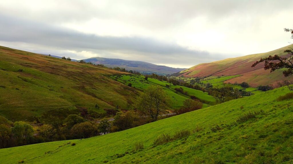
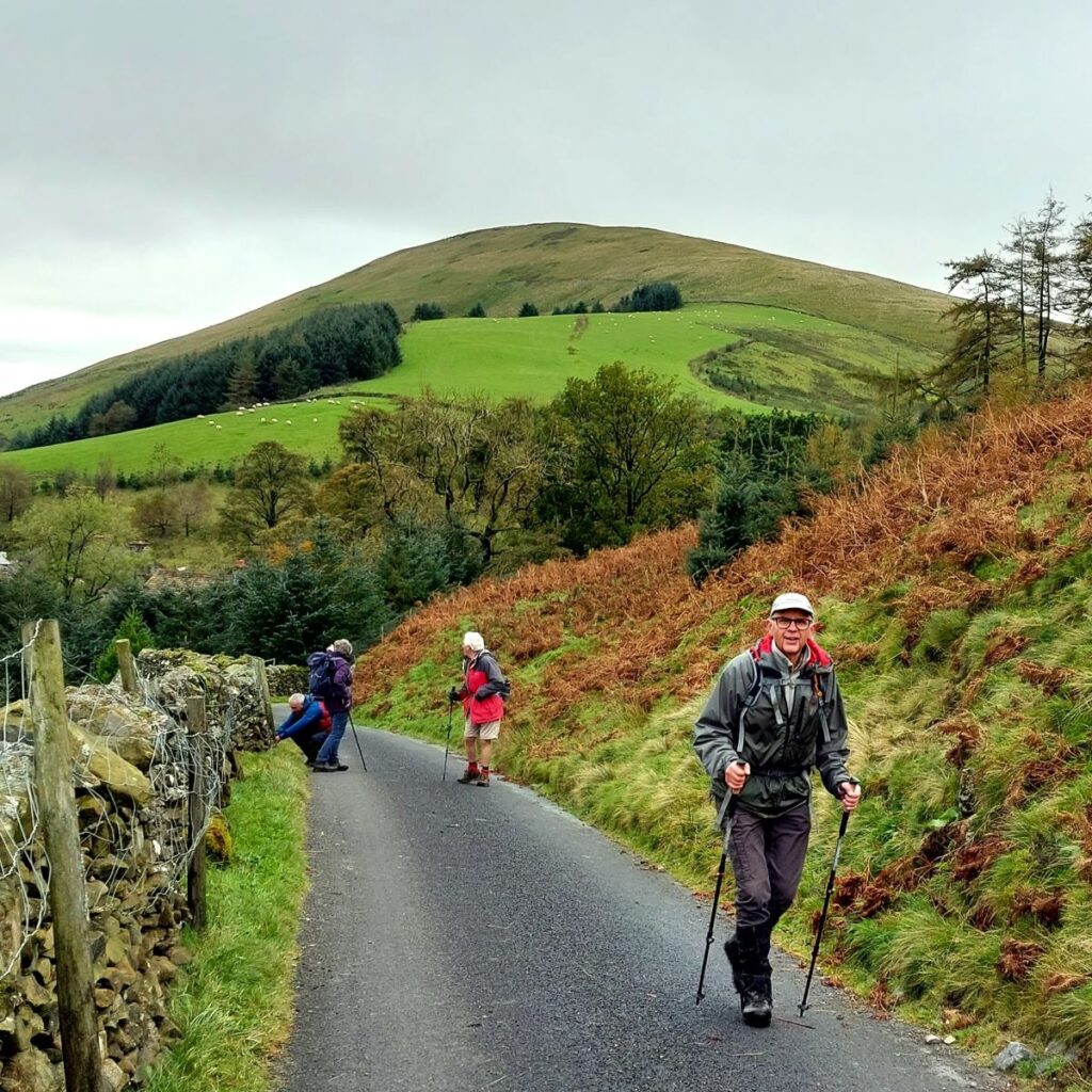
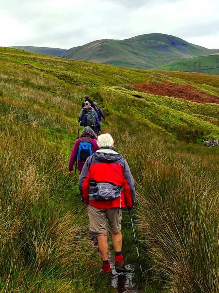
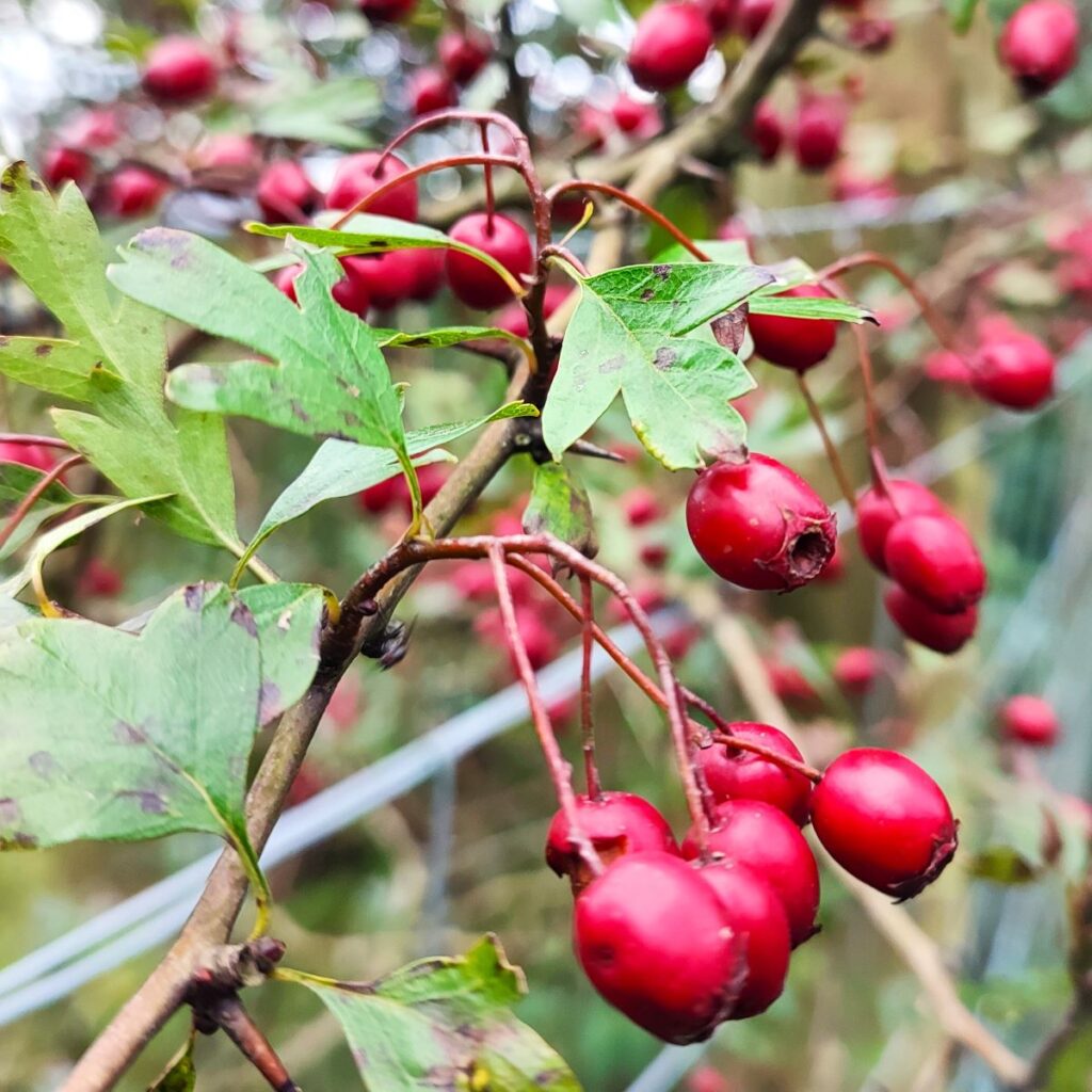
The Howgills are always a great place to walk, and autumn can be particularly beautiful with the bracken turning orange, hawthorn berries bright red, the grass still green, and the trees showing hints of purple as they start to drop their leaves. Add to this the many glorious becks and waterfalls, and the relatively secluded paths, and we have a recipe for a perfect day out.
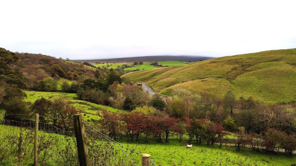
This walk starts at Rawthey Bridge on the A683 then takes woodland paths to Narthwaite. From there, we contour around Wandale Hill using an old Pack horse route to Adamthwaite. We cross Wandale Beck and Stonely Gill and then head back toward Murthwaite, turning just before we get that far, to come back round the eastern side of Harter Fell on a public by-way. We cross the A583 at Fell End and then head up to the waterfalls at Uldale before returning to the start over moorlands at Bluecaster.
- Total distance 14.49 km (9.0 miles)
- Total ascent 431 m
- Moderate walk
Step-by-Step
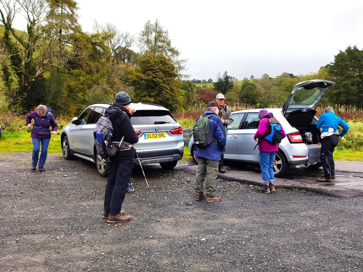
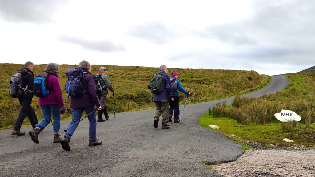
We start at Rawthey Bridge on the A683 – the main road between Sedbergh and Kirkby Stephen. There is ample parking available at a lay-by at the Sedbergh side of the bridge. If you are approaching from the Sedbergh direction, our start is one mile after the Cross Keys, or if you are approaching from the Kirkby direction, look out for the Wesleyan Methodist chapel on the right and continue for one more mile. The OS Grid reference is SD71219789, and the what-3-words tag is teamed.defenders.darker. If you are using Satnav to get there, try CA17 4LN as a postcode – but bear in mind that this covers a larger area, so expect the “you have arrived at your destination” message rather too soon.
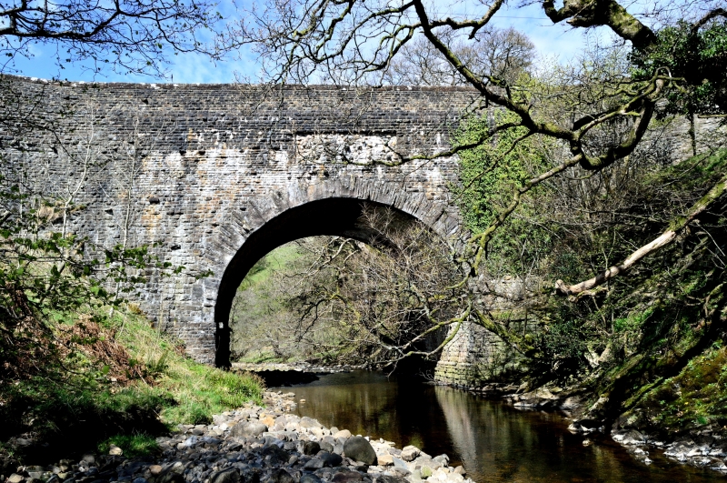
We initially walk up the main road to cross the bridge –where the main road crosses the river Rawthey. It dates back to 1822 and was built after the earlier 16th century bridge was destroyed in a flood.
Looking at the bridge from the riverside adjacent to the parking area we can see a panel in the western wall which looks like it ought to carry a dedication stone or some other message – whatever the plan was, there is no indication of anything having been installed.
At the far end of the bridge, we note the minor road to Uldale on the right – we walk on part of this road later in the day, but for now keep left and stay with the A693 for a short while – this is a busy road so take care.
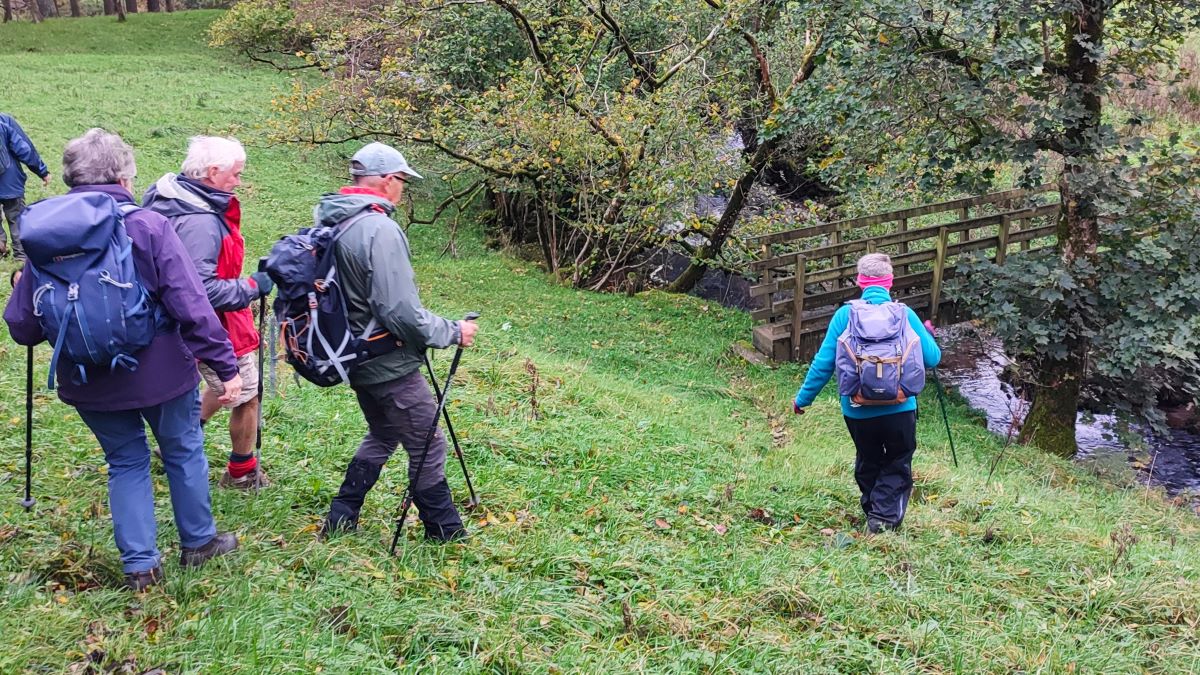
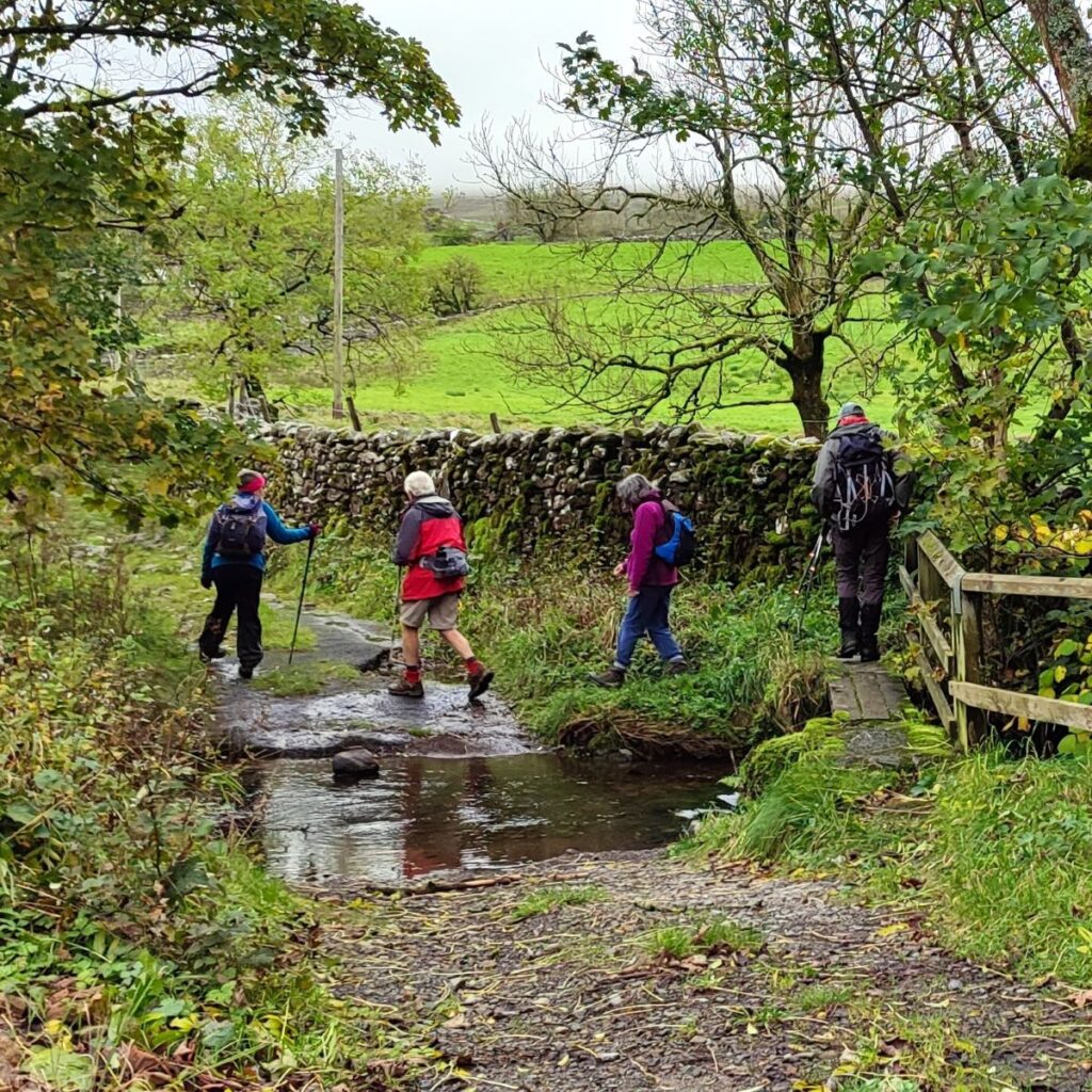
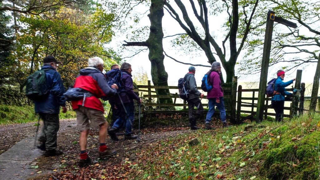
After about 50m, we see a gate and stile on the left accompanied by a public footpath sign. We take this path and follow it down a steep bank to a footbridge over a beck. From there we head left, tracking along the beck until it meets the Rawthey, then following the river west heading toward woodland.
As we arrive at the wood, we find a stile and then follow a path through the woods. This is generally clear, but there are a couple of locations where trees have fallen – presumably in storm Desmond – and you may need to find a way round these before returning to the “official” path.
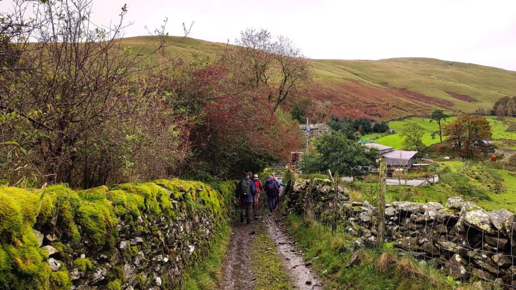
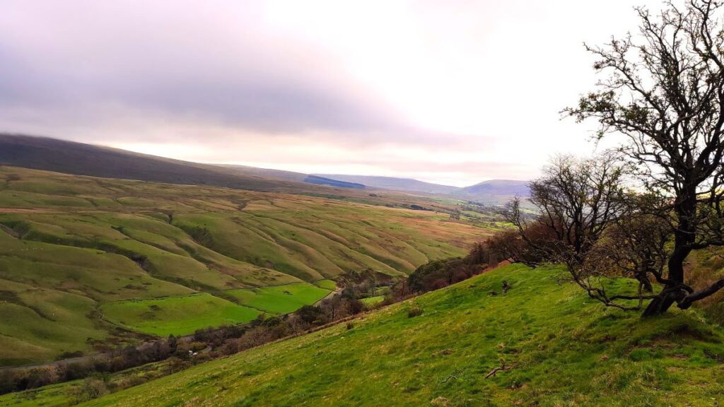
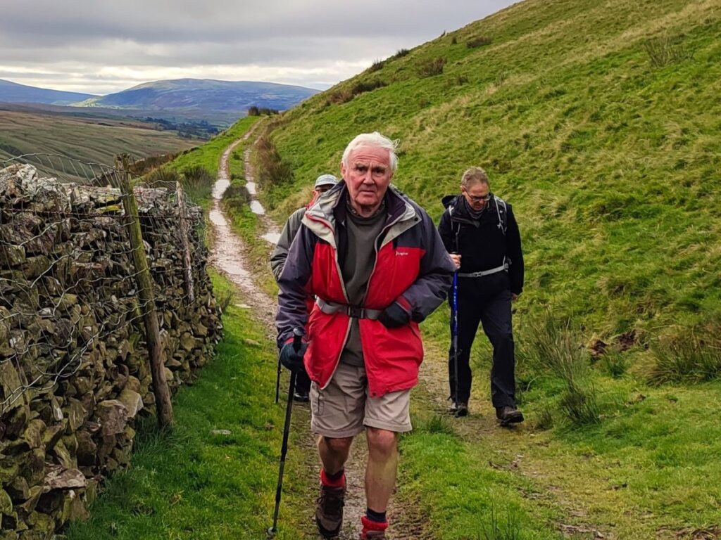
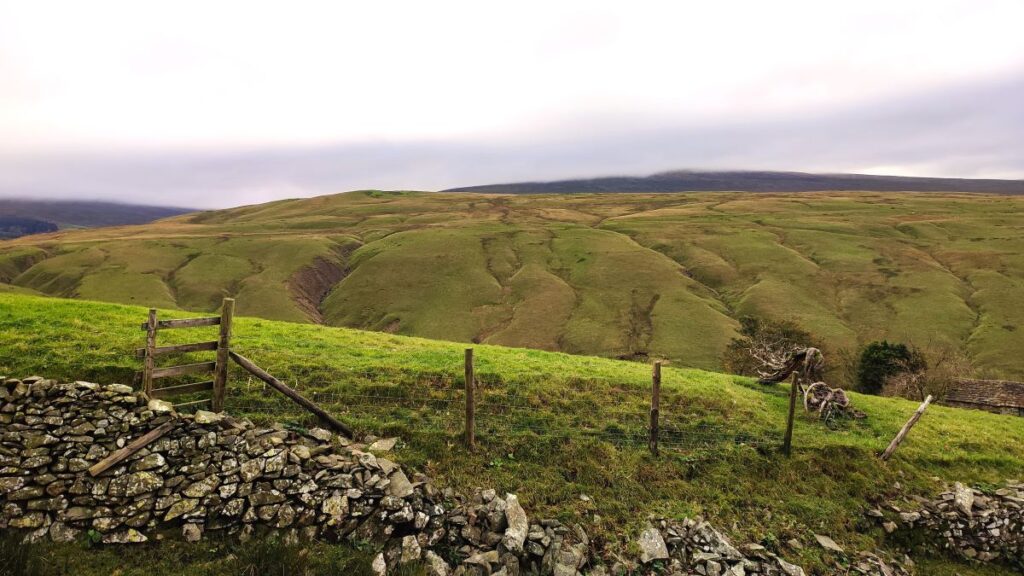
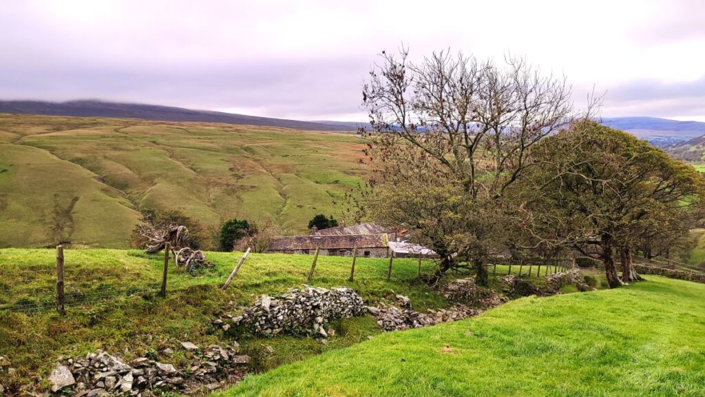
After about 100m of dense woodland we exit via a stile into a meadow, and now have the woodland on our right. The path stays just below the trees and then goes through a gate back into the woods and down to a ford over Wandale Beck as it heads down to join the Rawthey. If you find that the water level is too high to safely ford – as was the case on the day of our walk – then an alternate route is to return to the gate and then follow the fence line round to a farm bridge, once over this you will see the path from the ford which we rejoin. We now head uphill toward Narthwaite – from this meadow we have great views of the Rawthey valley with the fell at Bluecaster on the left with numerous gills cutting into the hillside, and Wandale Hill to our right – we get to see much more of this later in the walk.
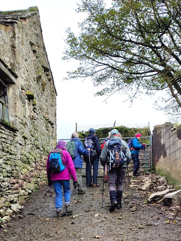
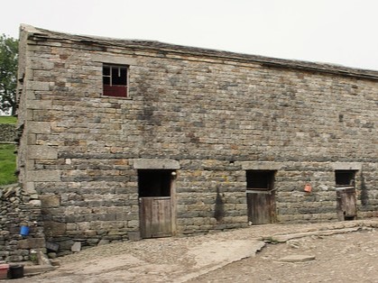
We head for a metal gate at the far end of the field and pick up a farm track heading right, and uphill, toward Narthwaite – an isolated farm which hosts a communications mast which serves as a useful landmark. Narthwaite was once a hamlet with a number of families – as can be seen from the once splendid house that is now used for animal husbandry. It is also an important part of the history of the Quaker movement in Ravenstonedale: As the track comes round to the right and we pass the modern mast, we see a barn on the left. This has a very rare architectural feature referred to as a high end window – in effect the agricultural use of the building was supplemented with a small quaker meeting house in a second story lit only by this modest window – enabling discrete meetings when religious intolerance was rife. For more detail on this, click here
Once in the farmyard, there are a choice of routes; over to the left is a route downhill toward a ford over Backside Beck and then on to Cautley Spout – this would be well worth exploring another time, but for now we take the route uphill and to the North so that we can take a path round Wandale hill. This goes through a metal gate within the farmyard and then comes round to the right to follow an old packhorse route up the hillside above the farm – a steep climb for a short while.
At the top of this we have a choice – there are two gates:
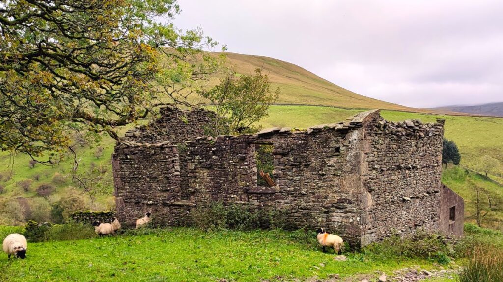
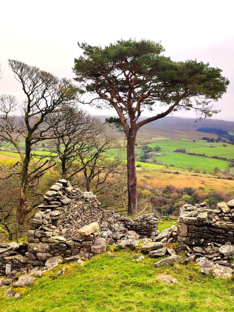
- The one on the left gives us a route round the back of Wandale hill and features great views of the spectacular screes at Yarlside and Kensgriff, along with a farm building that although now derelict was clearly once rather grand – this has the name Mountain View – so you know what to expect.
- The one to the right continues with the pack horse route to Adamthwaite, and the view in this case is over the valley to Bluecaster and Wild Boar Fell.
Both routes come back together at Adamthwaite, so the choice comes down to taste – we chose the drier route along the front (eastern side) of Wandale – the western side can be very boggy so perhaps a route for midsummer.
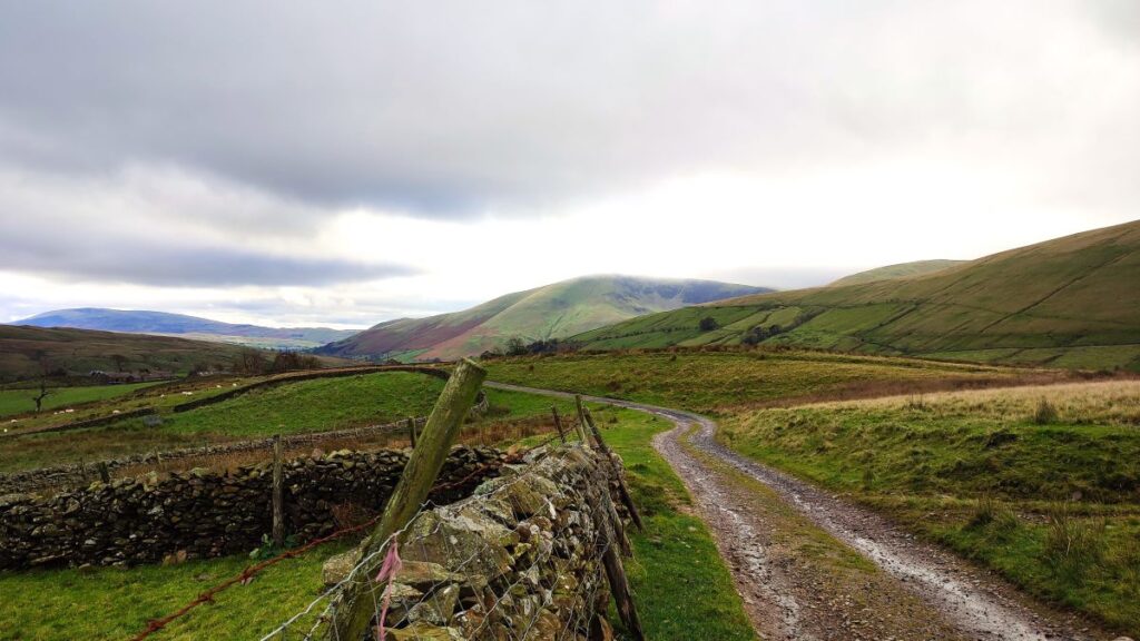
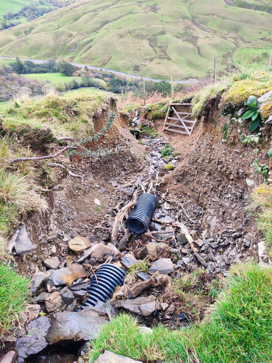
So, we take the gate to the right and see the packhorse route heading north along the contours of Wandale hill. Over the years, the lane has in effect become a stream bed during times of heavy rain, so for much of this route it is easier to walk along the contours just below the packhorse road – some works have been undertaken to provide drainage to stabilise the route – but in places this too has been washed way, so the general guidance is to use the use the old route as a visual guide and walk wherever is safest.
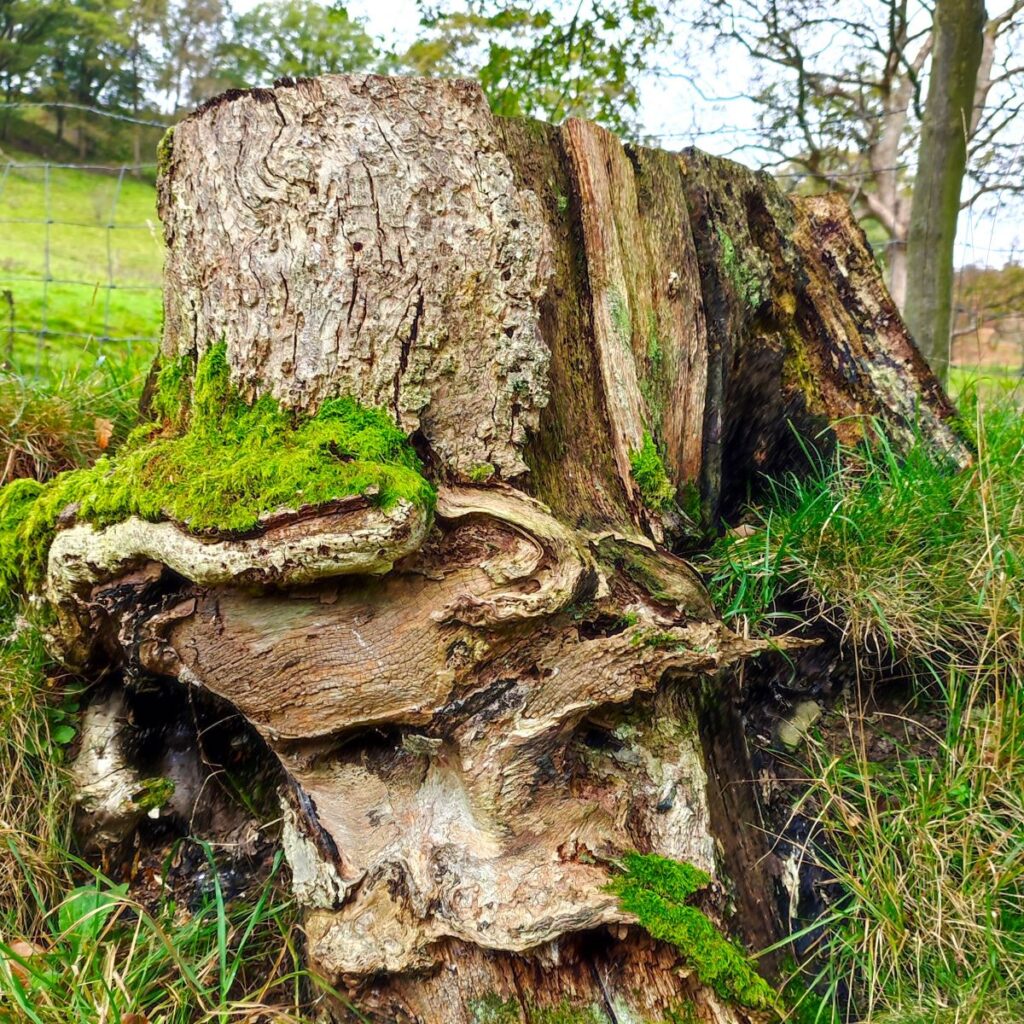
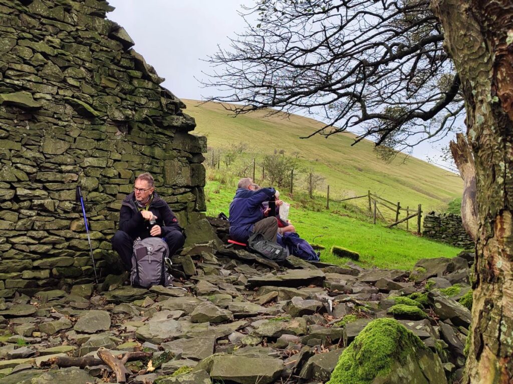
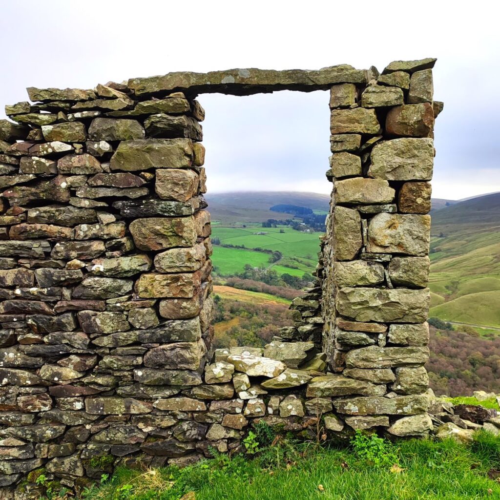
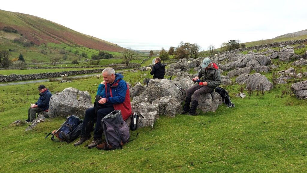
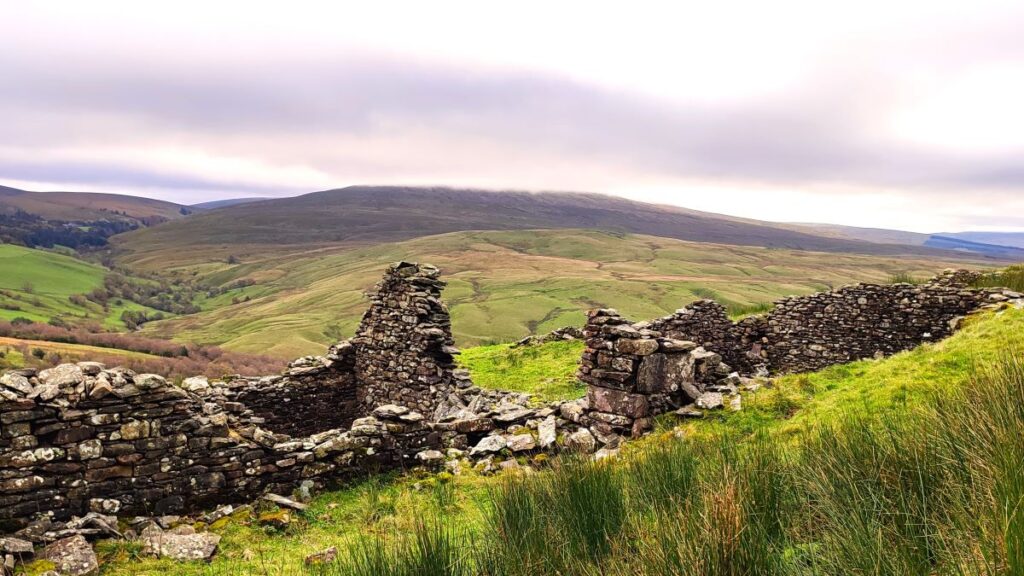
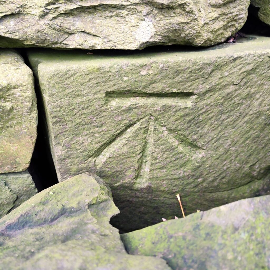
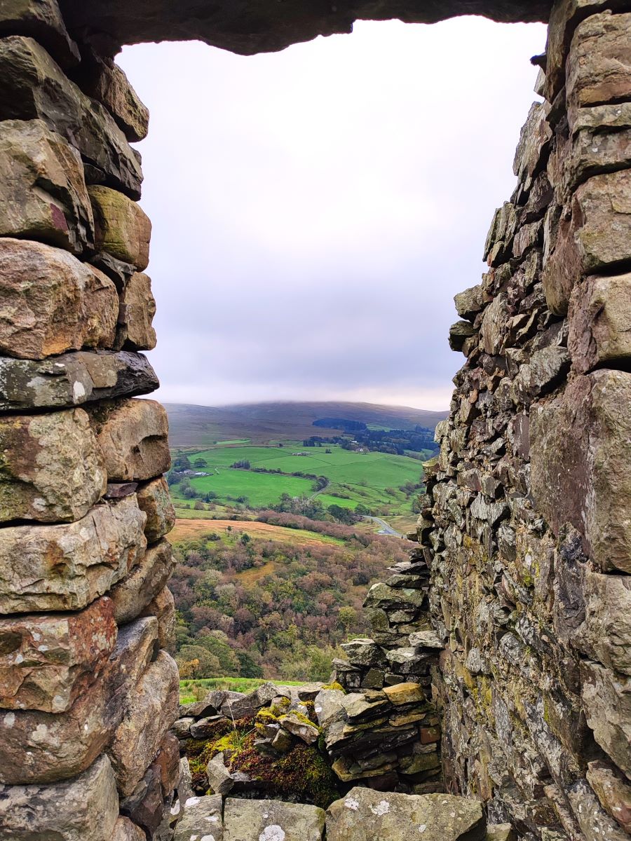
The quality of the route soon starts to improve, and ahead we see a derelict farmstead, which was obviously once quite impressive – with a dwelling to the right, with signs of good quality mullioned windows and well-dressed stonework, and mason’s mark, with a rougher barn to the left where animals would have been housed. A cobbled courtyard outside makes this a pleasant place to pause for a break.
As we set off again, we notice a path coming in from the left just beyond the buildings – this is a path linking the two routes around Wandale hill.
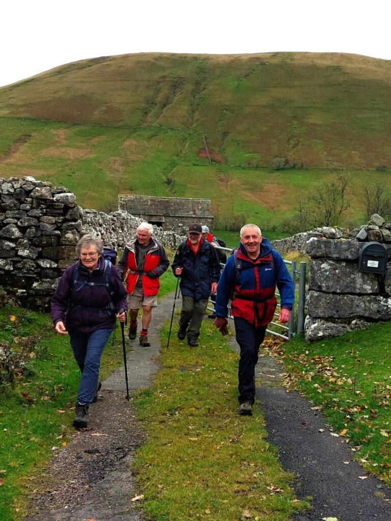
Ahead we see a gate and we press on through this and continue along the packhorse route for a while. Navigation is clear, and we carry on until – having passed a number of derelict barns – we get to Adamthwaite, another hamlet with a farm at its core. The path here is through the farmyard in front of the house, and then up a metalled road to the north – notice the waterfall to the left of the farmhouse – this is where Adamthwaite Sike tumbles down from the fells.
The road climbs steeply for a short while, and we notice a way marker on the right where the alternate route round Wandale hill rejoins. Ahead we see a cattle grid, and just beyond this we see a path down on the right leading to a ford over Stonely Gill, which then leads round to the right to climb up to a clear footpath. This is generally passable, but if not – continue along the metalled road for 200m to find a way marker indicating a path coming back south – this meets our route over the ford as it contours around Harter Fell.
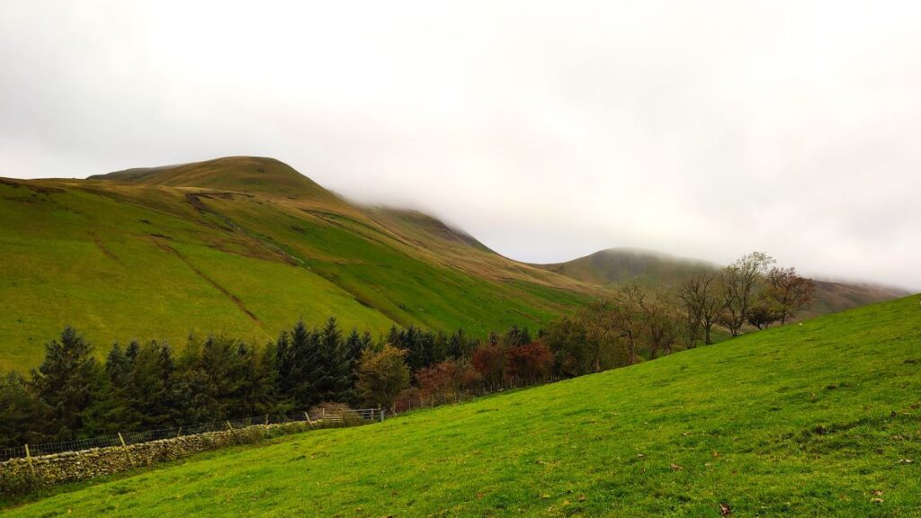
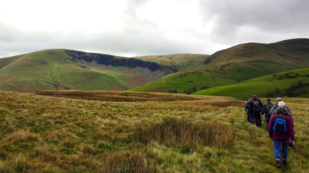
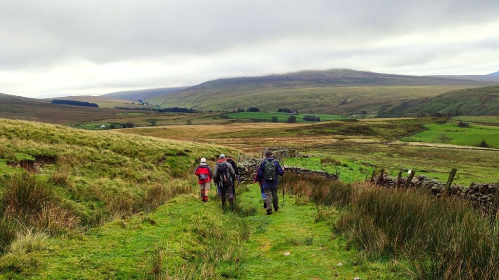
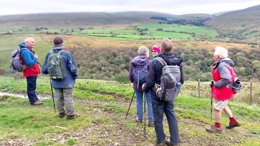
We follow the track around Harter Fell, heading south for a while, with views of Adamthwaite and the pack horse route to Narthwaite that we followed earlier on our right, and Harter Fell on our left. After about 1 km on this track, we meet another track coming in at an angle on the left. This is the road access to Murthwaite – technically it’s a public byway. Here we head sharp left to come around the east of Harter Fell, following the by-way down to the A683.
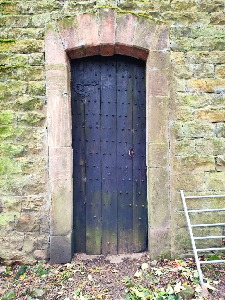
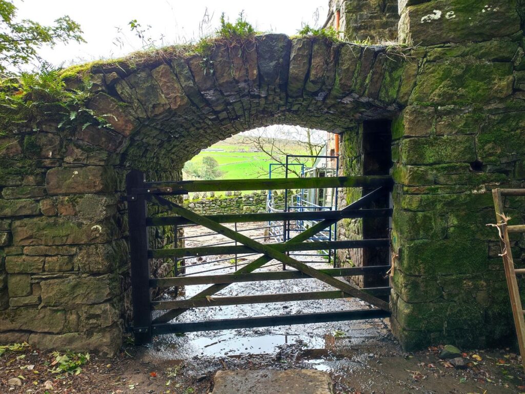
On the way down we pass two sets of building – High and Low Sprintgill. The first is a holiday cottage, whilst the second is still used as a farm building – and it is interesting in that it features a very impressive oak door within a fine sandstone reveal, a well-crafted pair of water troughs and an impressive arched ramp up to a second storey.

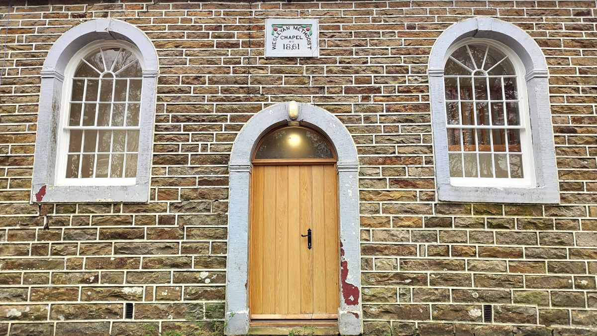
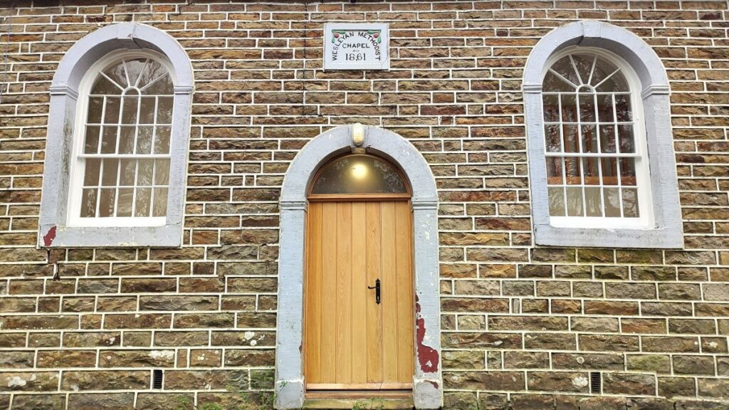
The by-way eventually meets the A683, and as it does, we see the Fell End Wesleyan Methodist chapel, which was opened in 1861, and in use until 2012. It now part way through conversion into a dwelling.
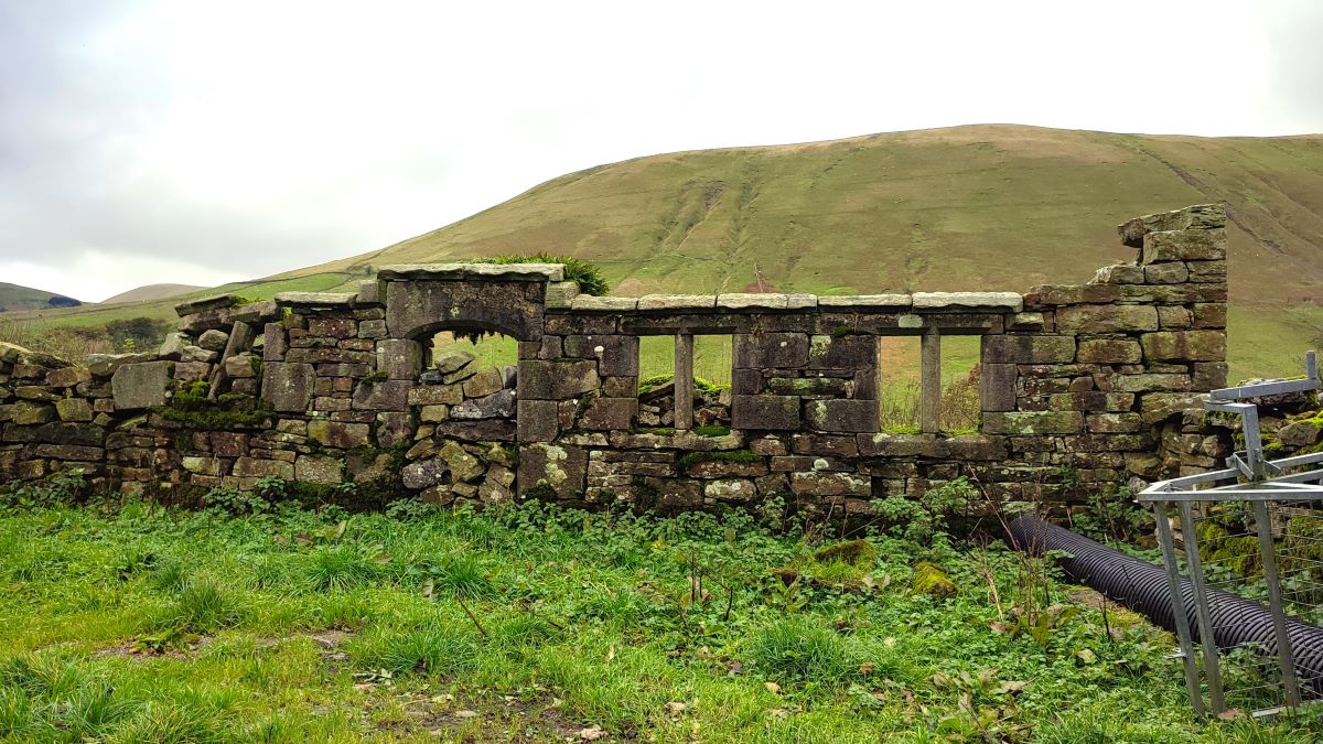
Opposite the chapel on the far side of the A683, we see a lane down to a ford over a small beck – if this is not passable, there is a convenient footbridge to the right. From there we head up the lane, soon crossing a second ford (also with a bridge as an alternative). We pass a house on the left, and then the track becomes a steep metalled road passing some derelict buildings with surprisingly fine mullioned windows on our right. It is not clear whether the windows and doorway we see here were always part of this building, or whether this is a relocation of stonework as architectural salvage – either way it’s an interesting and wonderfully atmospheric feature.
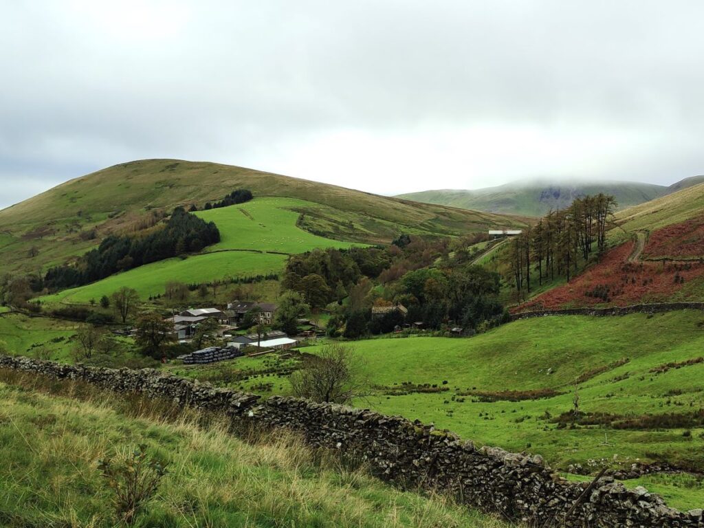
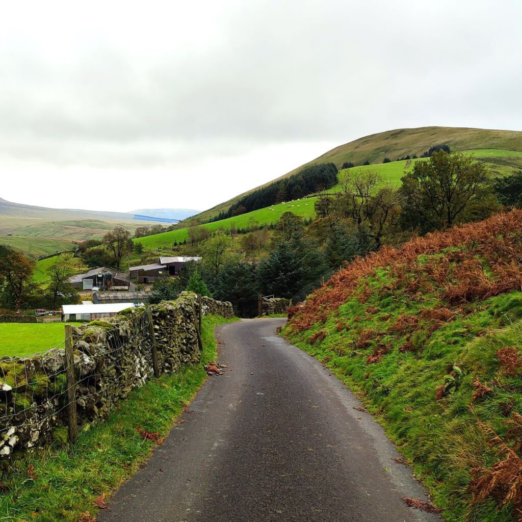
Having pondered this, we continue up the lane until we arrive at a minor road – this is the Fell End Road – it runs more or less parallel to the A683 and judging by the layout of the roads where we started, was probably the main route through the valley when the Rawthey Bridge was first built.
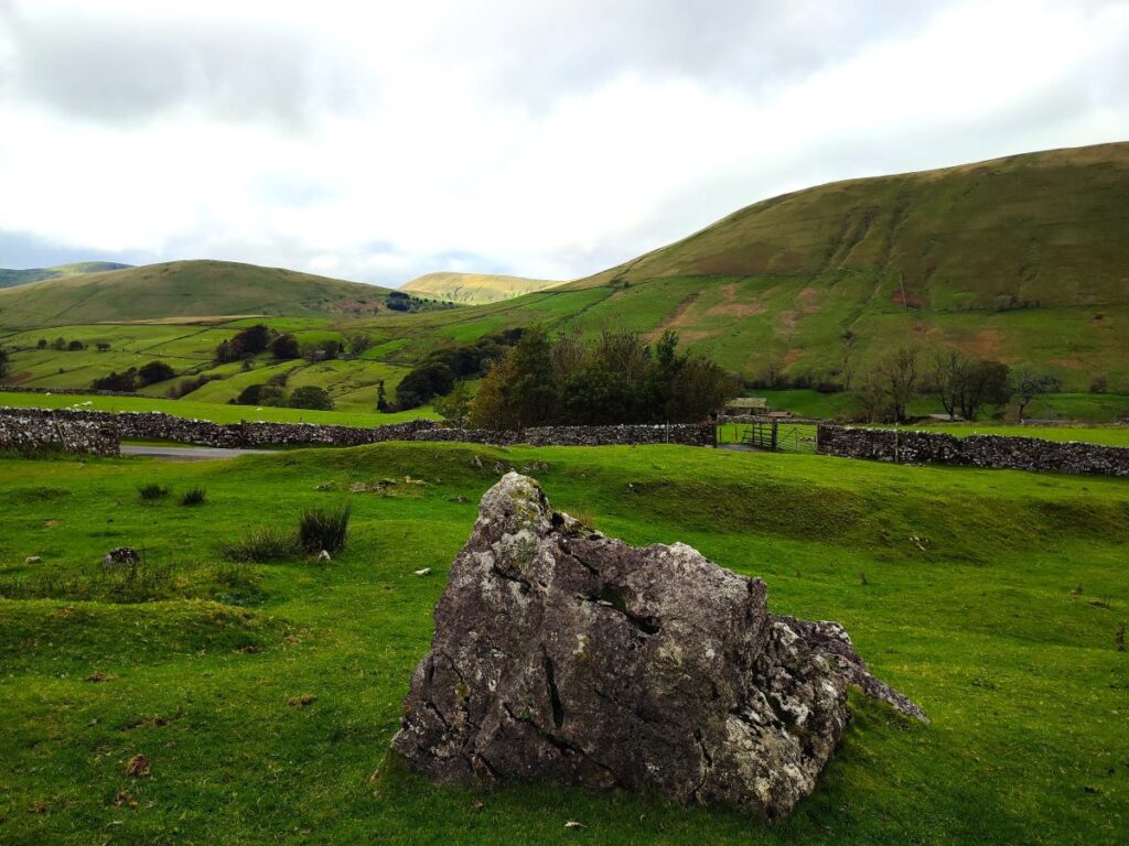
Ahead of us as we reach the road is a field of boulders – perhaps erratics – this is a great place to take a break, and as we do so we can look over to the left noting that the boulder field continues up to the peak of Fell End and Stennerskaugh. These attractive features appear like mist hugging the hillside and are noted on the OS map as Fell End and Stennerskaugh Clouds. It would be quite simple to add an exploration of these features to the walk – we did not do so, but for those who wish to explore this area, click here for a route.
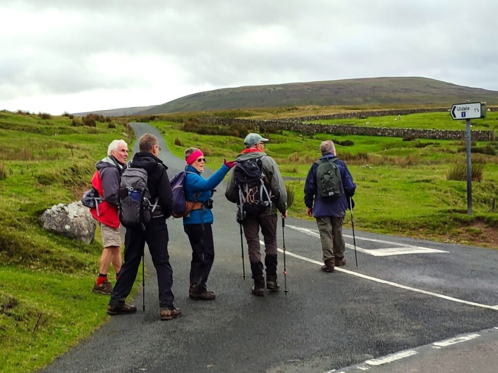
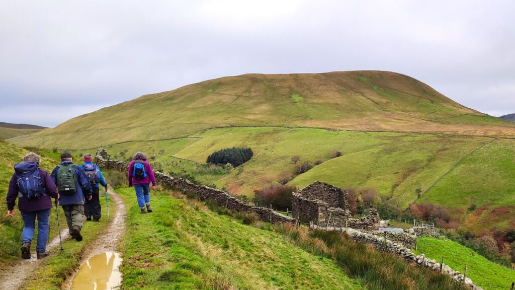
We now start the final third of our walk – we head back to the minor road and turn left, so we are now heading Southwest and back toward Rawthey Bridge. We pass a couple of farms, and soon arrive at a road junction where we have the option to turn left heading toward Uldale, or should we want a shortcut, straight on and back to Rawthey bridge.
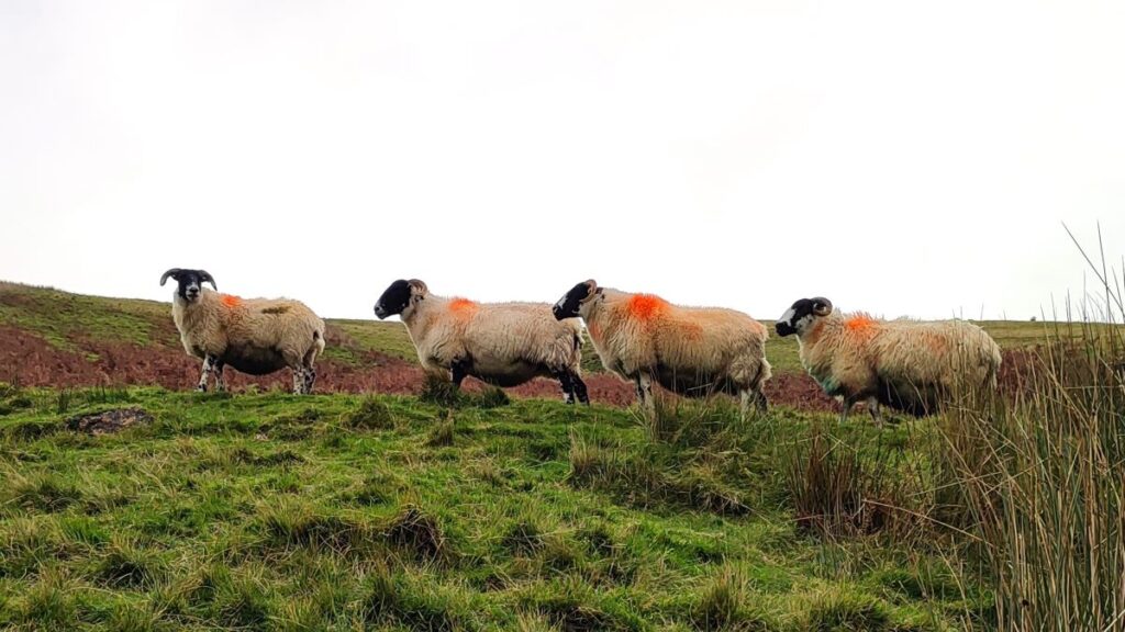
The weather was holding for us, and we opted to continue to Uldale – where there is much to see. The road to Uldale winds through a strange landscape littered with startlingly deep sink holes – we presumed that this area is where the millstone grit gives way to limestone, and that the water running down the fell therefore erodes the limestone.
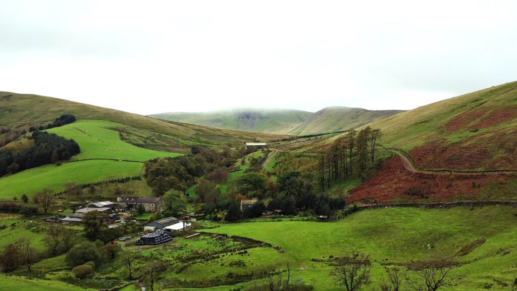
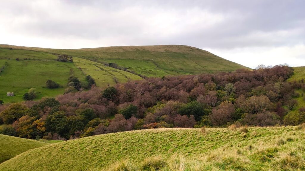
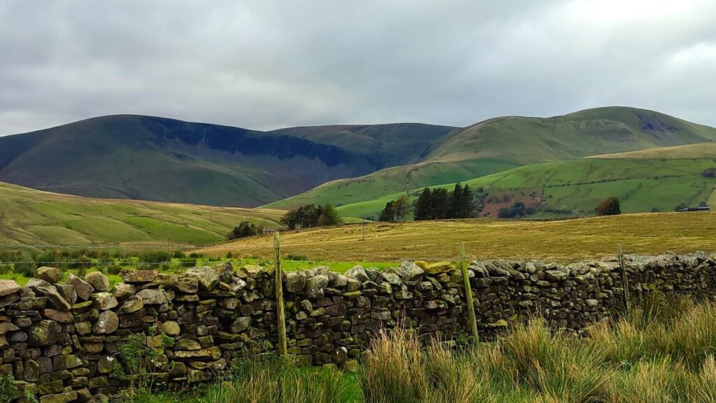
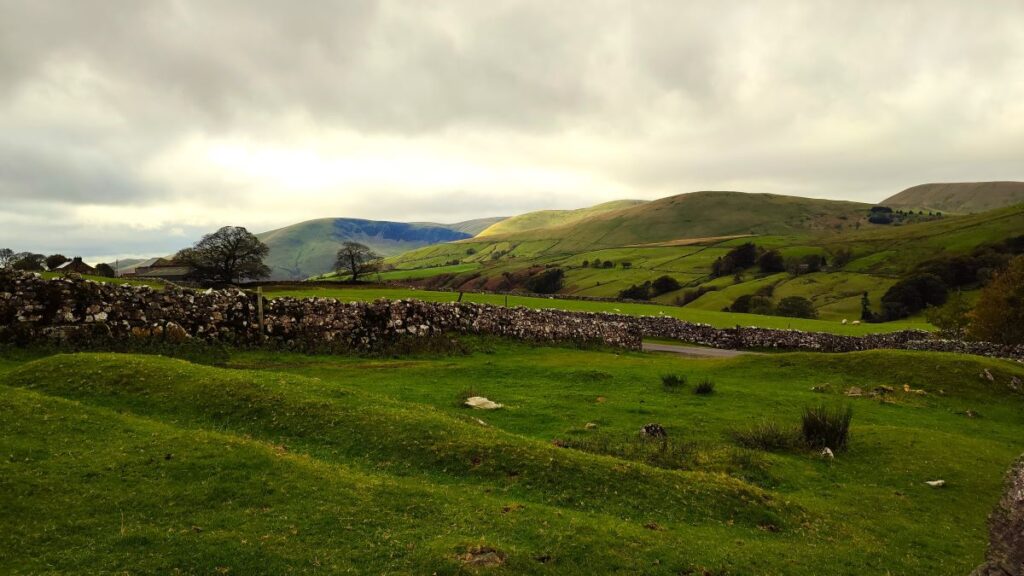
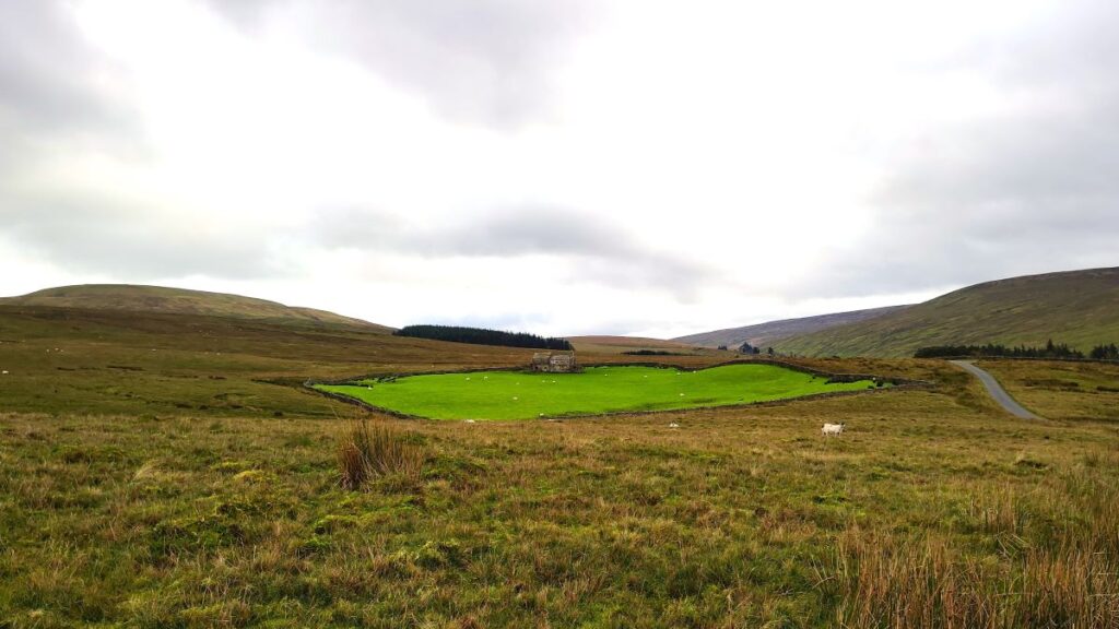
As we continue on the metalled road – which has a surprisingly good surface – we need to remember to look back and enjoy views of Cautley Spout – the top of the waterfall is clearly visible if the weather is fine. Also worth noting over to the left is a walled pasture with a farm building where the land has clearly been well-grazed and sweetened by the addition of lime over many years, The grass in this one field is startlingly green within the brown scrub that characterises the rest of the moorland. Rather counter-intuitively, this is noted on the OS Map as White Green.

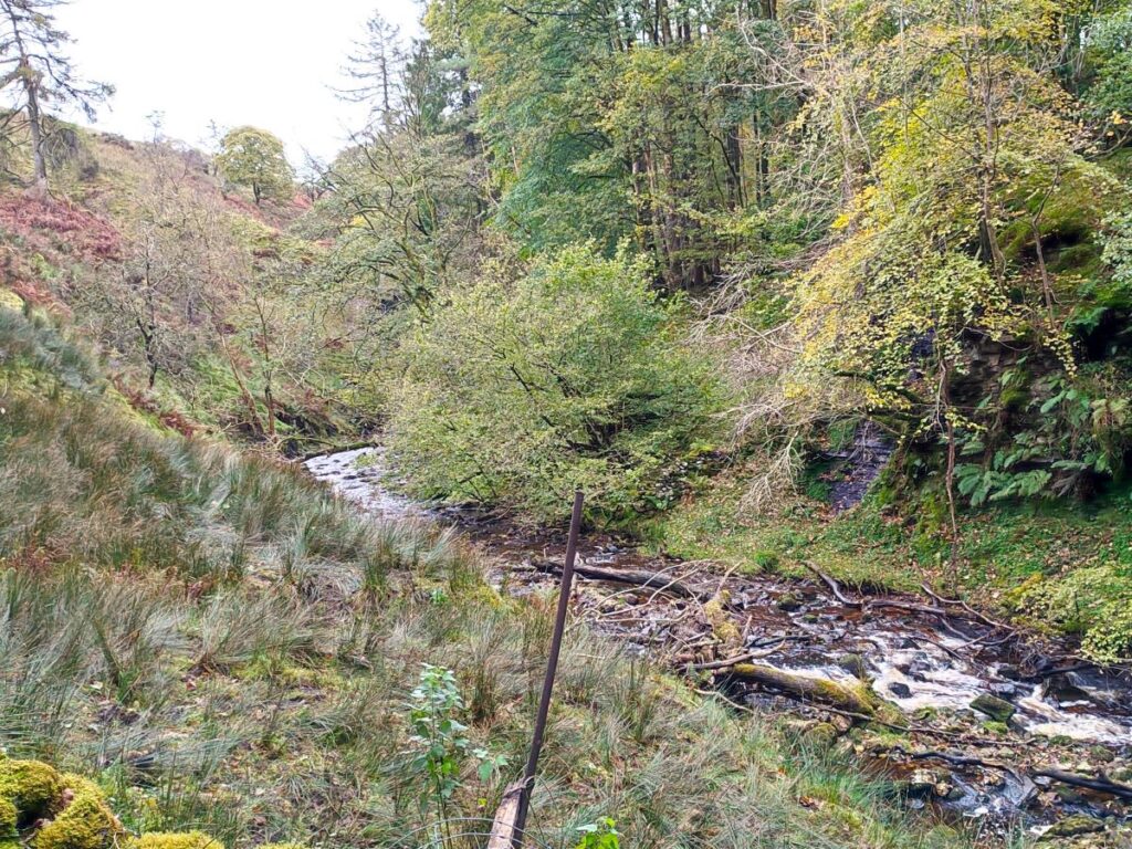
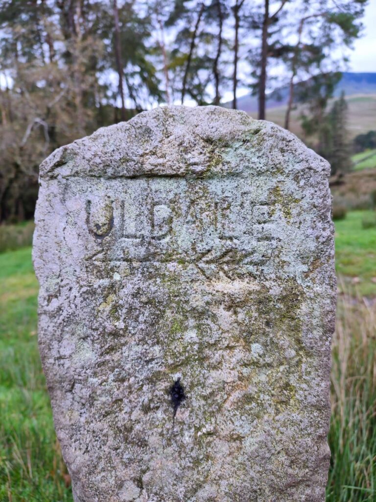
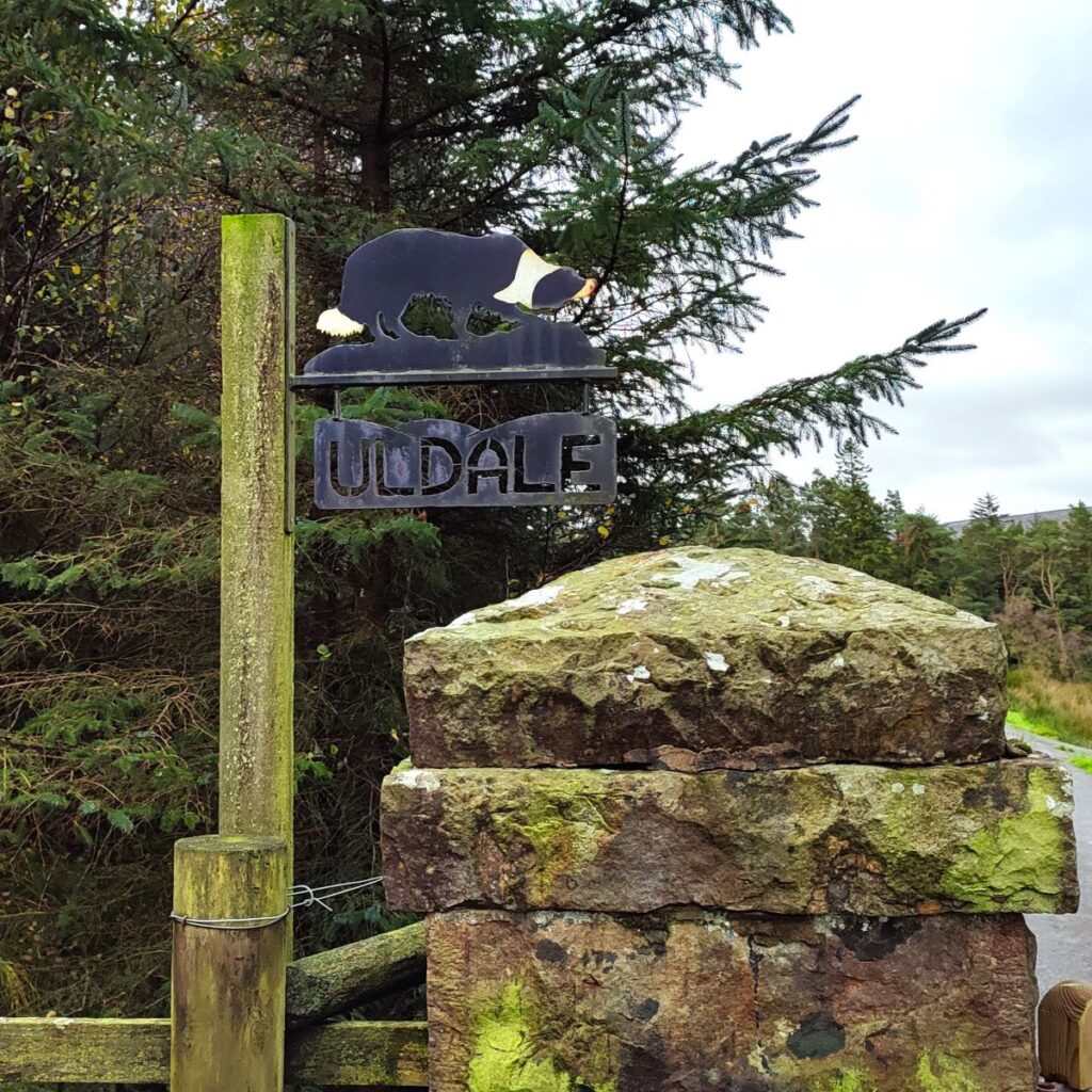
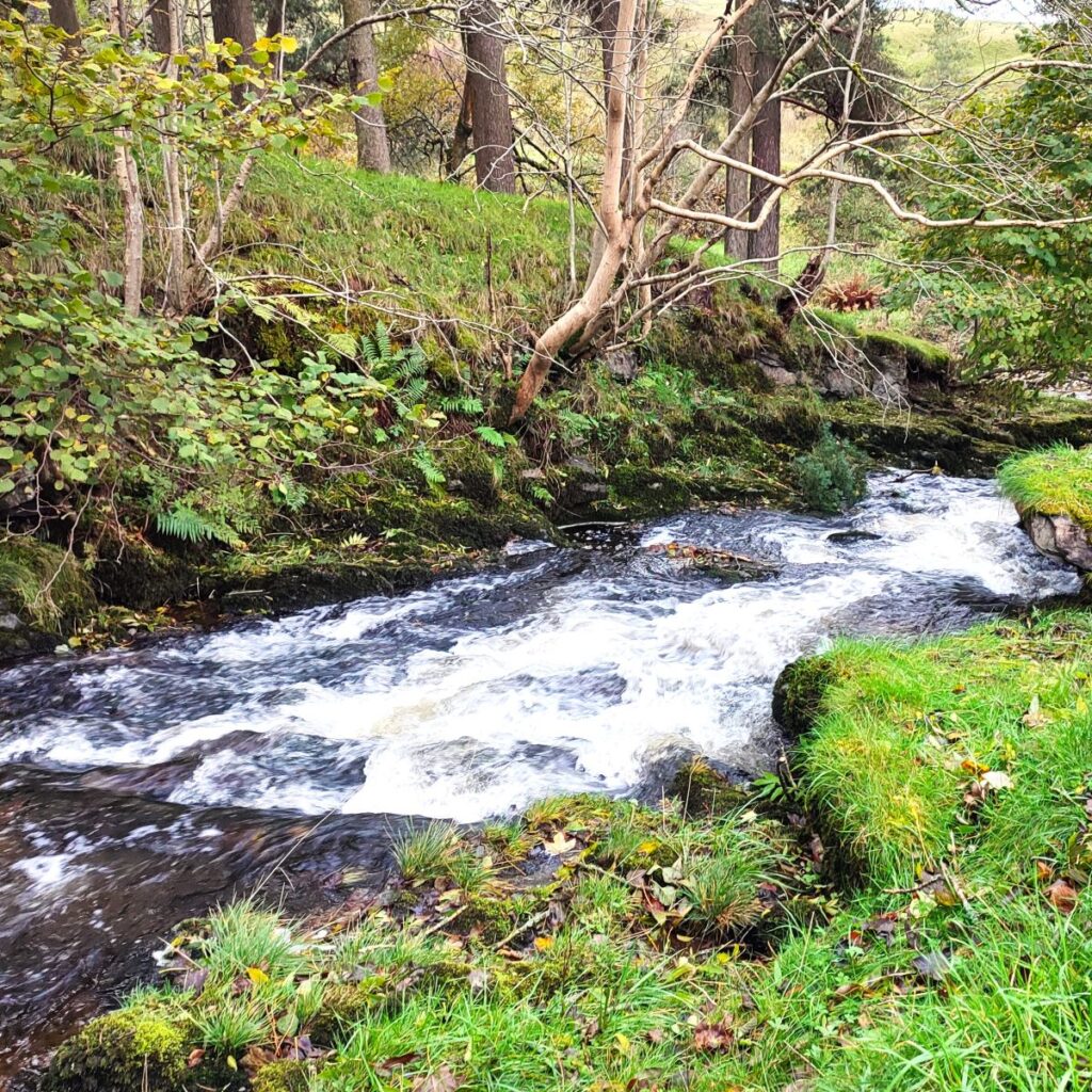
From here we continue up the road until it forks – we take the route to the left and soon arrive at a gate with an interesting sheepdog motif on the adjacent post. Through here, we see continue along the road, passing a stone market for Uldale over to the right, before the road bends round to the right and drops to a stone bridge over Needlehouse Gill – we are now in dense woodland and there are very attractive ferns growing on the riverbank opposite the bridge.
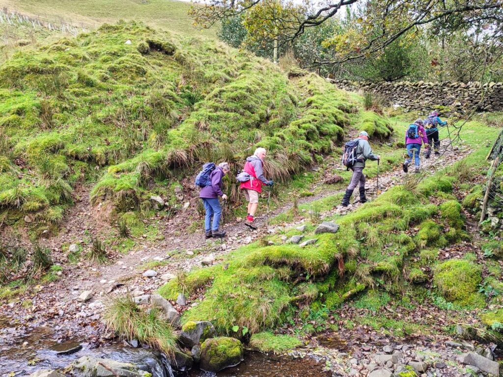
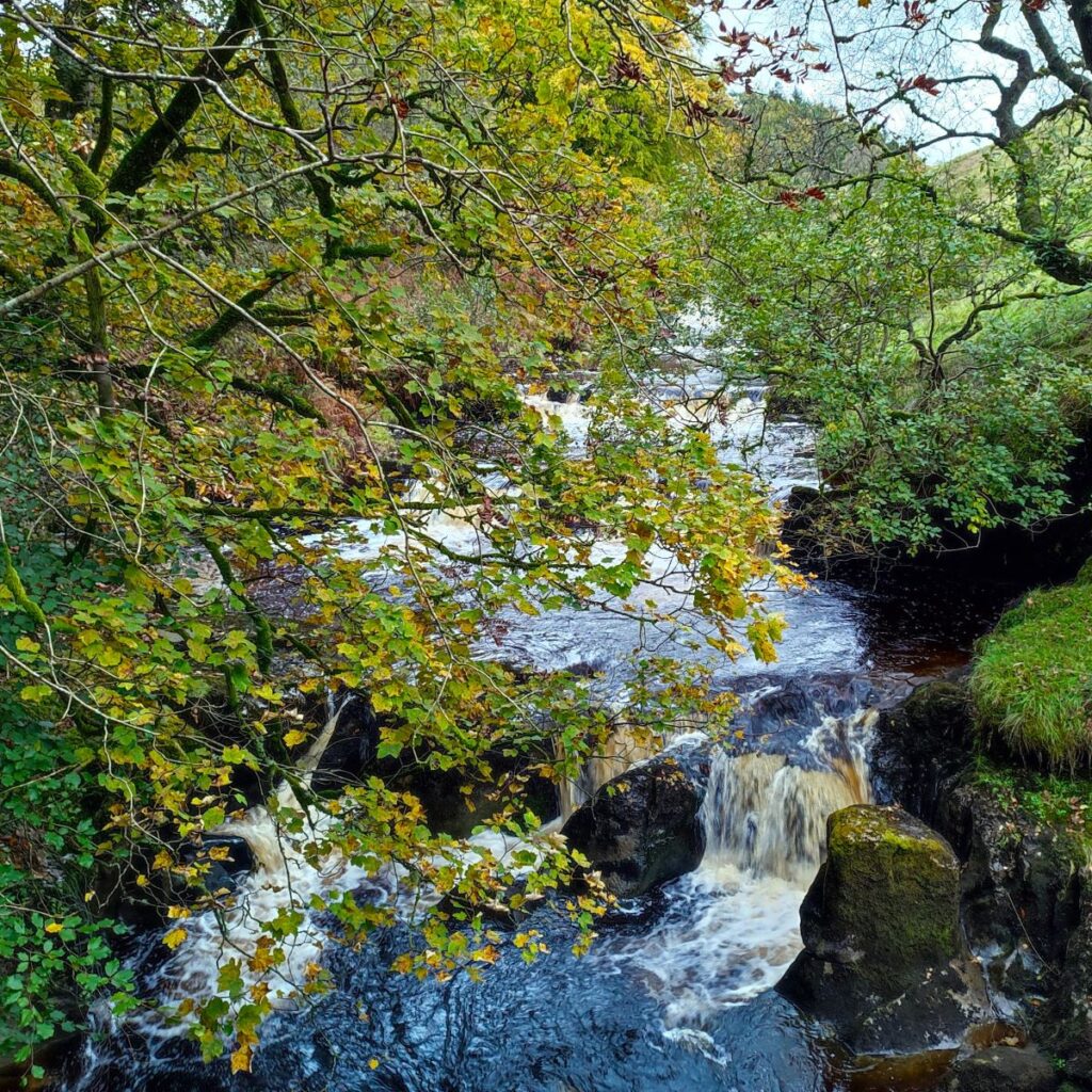
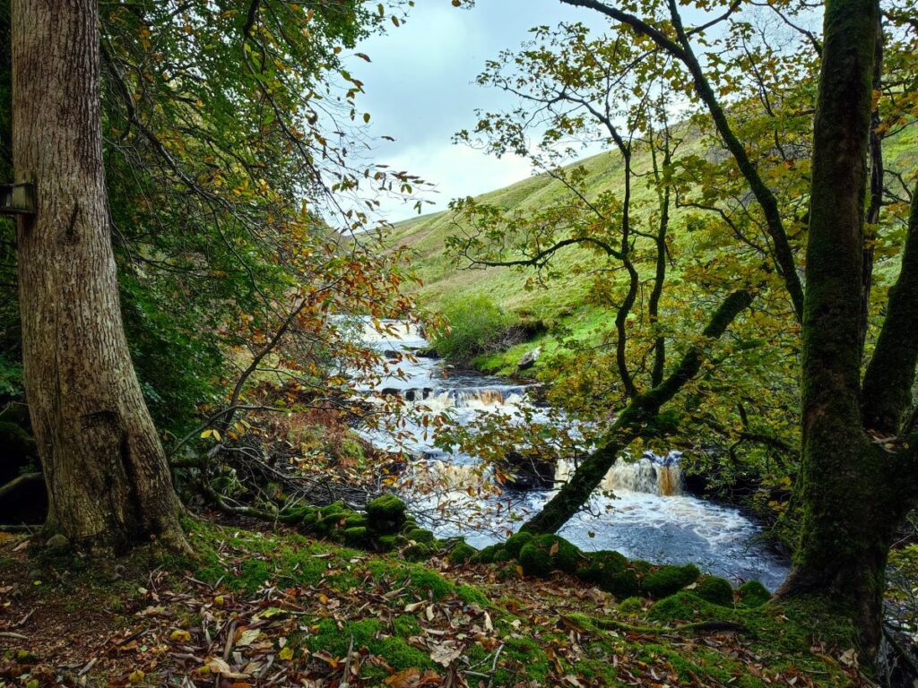
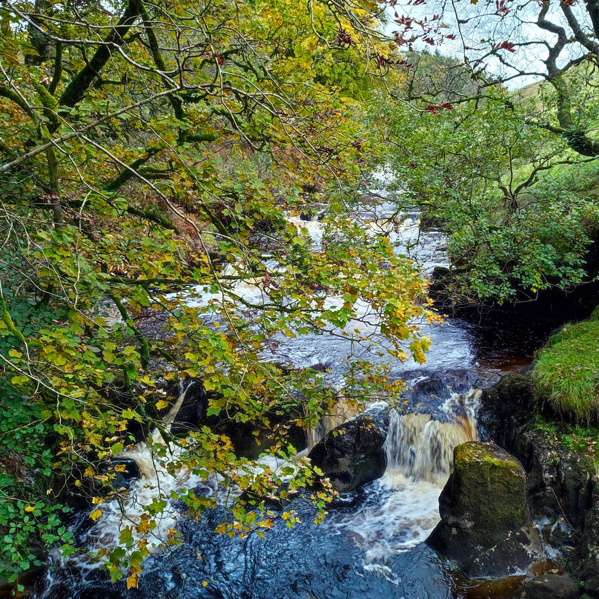
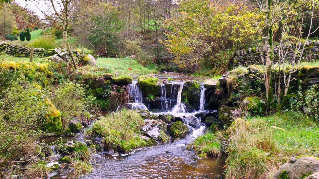
As we follow the road round, it starts to rise quite steeply. It soon levels off though, and as it does, we notice a bridleway on the right signed for Bluecaster. We take this and follow it down through the woods to a wooden footbridge over the upper reaches of the Rawthey with lovely waterfalls upstream of the crossing. It is worth noting that if we were to disregard the Bluecaster Bridleway and continue – the path continues to Grisedale, and could easily connect with our Grisedale and Garsdale walk
After the bridge, we head right and from here follow a path across the moorland. Apart from a fork just after the start (where we need to keep right), there are no navigational decisions to be made and although the path meanders around, it remains clear to see, even if it is quite boggy in places.
We are now heading along the contours of Bluecaster fell, following the route of the Rawthey down the valley – but as we go, we get further and further from the river – so don’t be too concerned if you lose sight of it. We persevere with the path across Bluecaster for a while, and eventually arrive at a junction with a larger track – we head right here and zig downhill back to Rawthey bridge and the car park. Although the route is clear for this last part of the walk, the surface is quite poor, so be prepared to find a safe route a little to the side of the badly damaged track.