Jump to . . .Step by Step | OS Map | Downloads | Gallery | Fly through
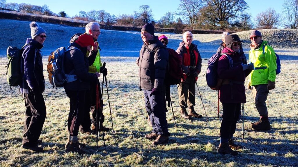
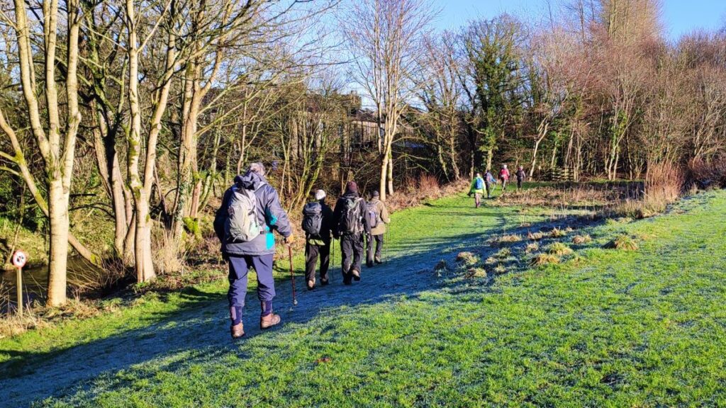
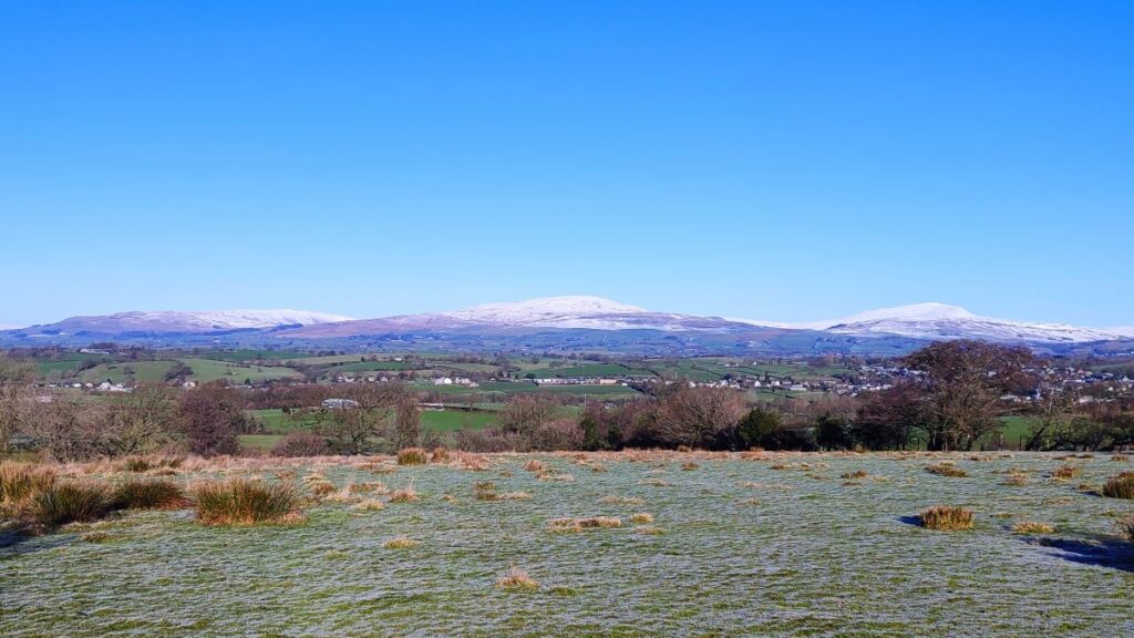
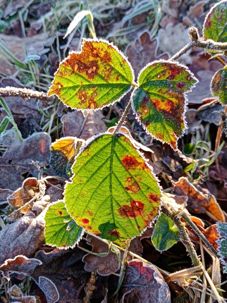
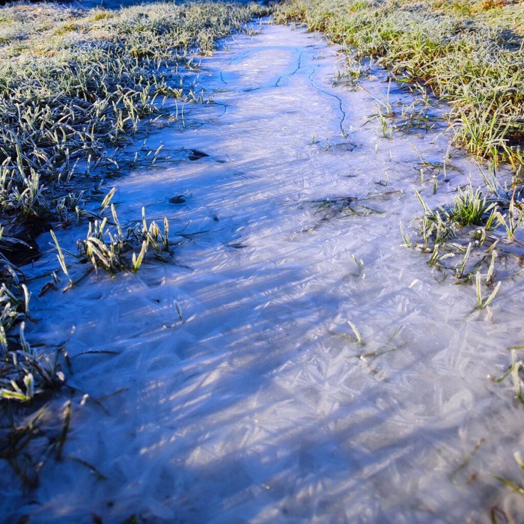
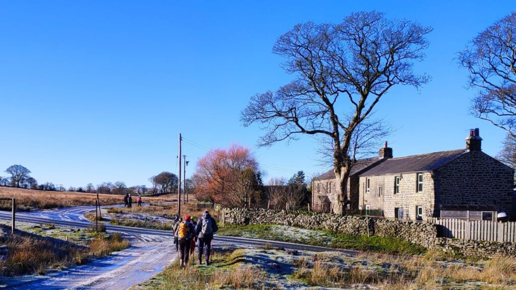
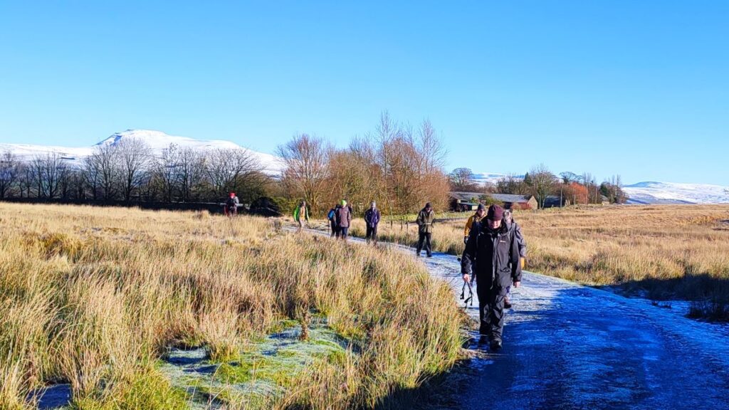
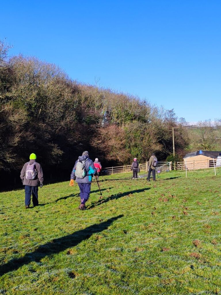
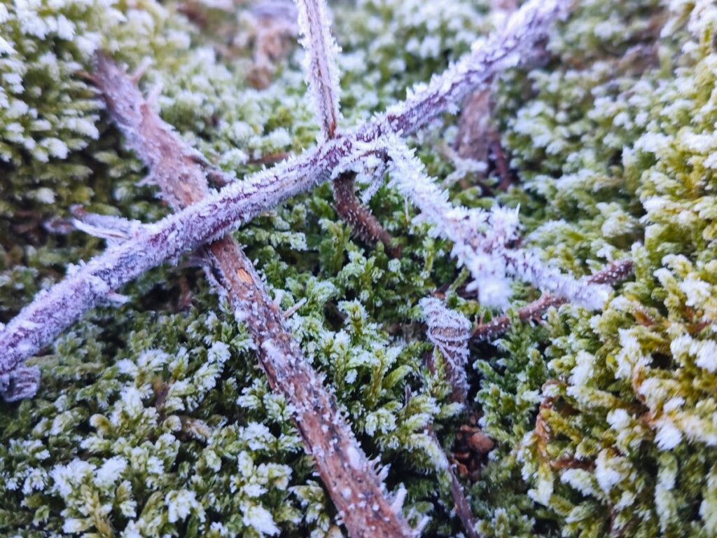
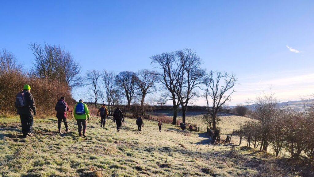
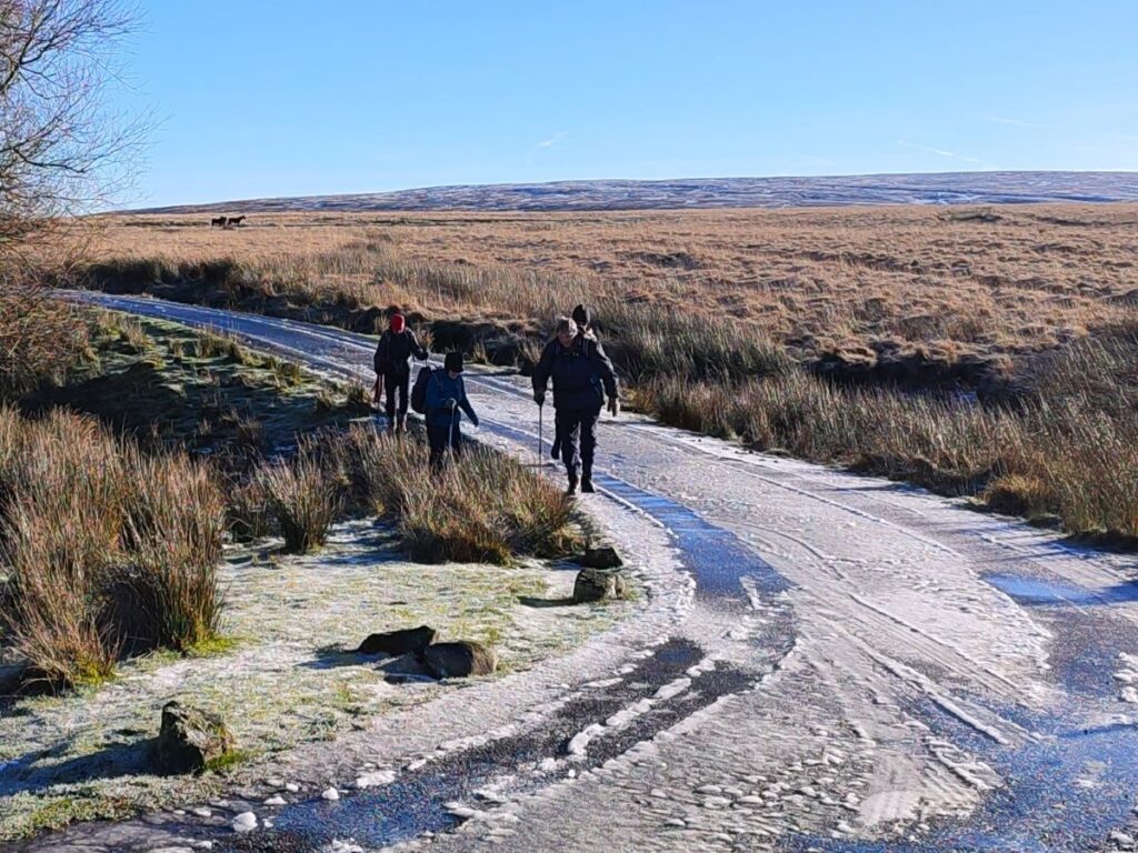
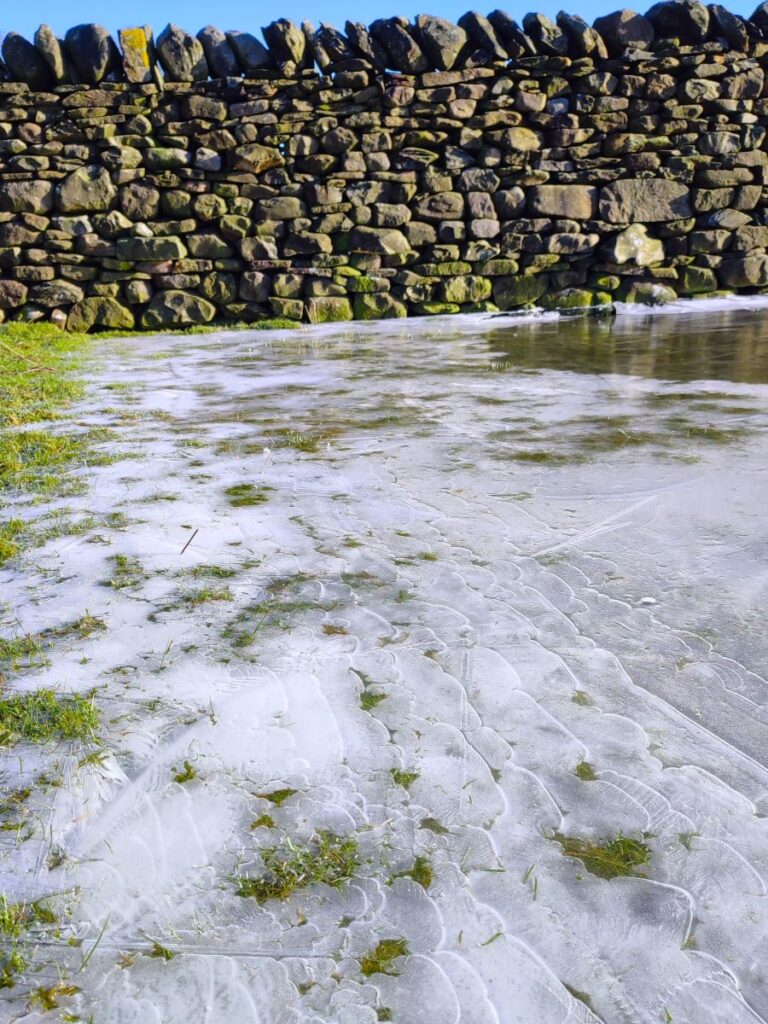
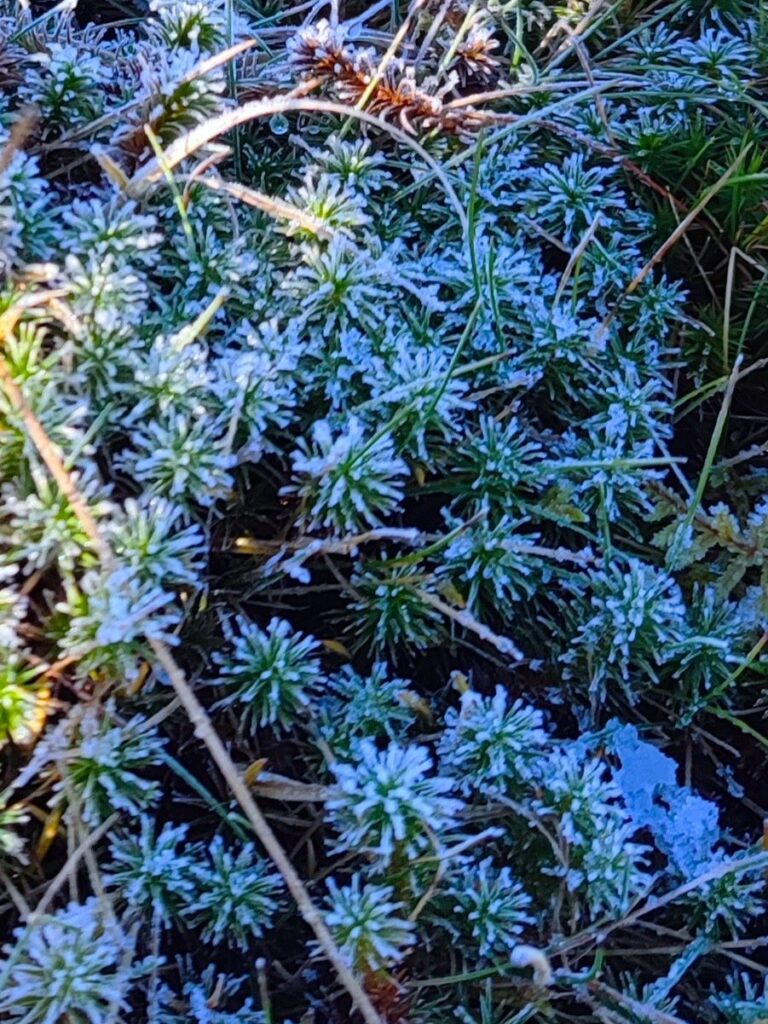
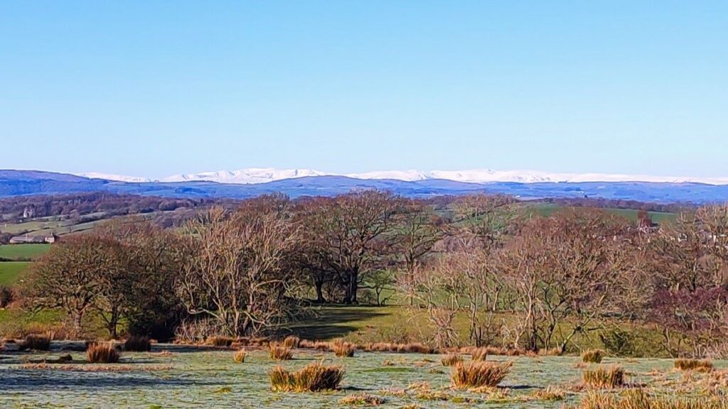
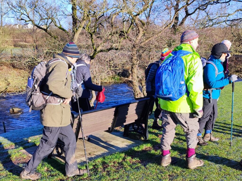
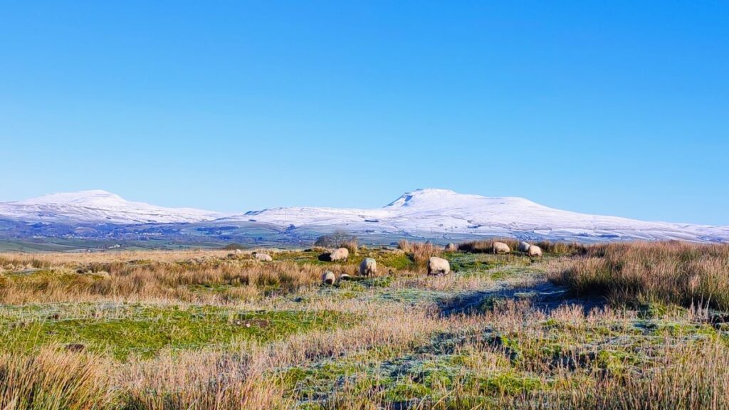
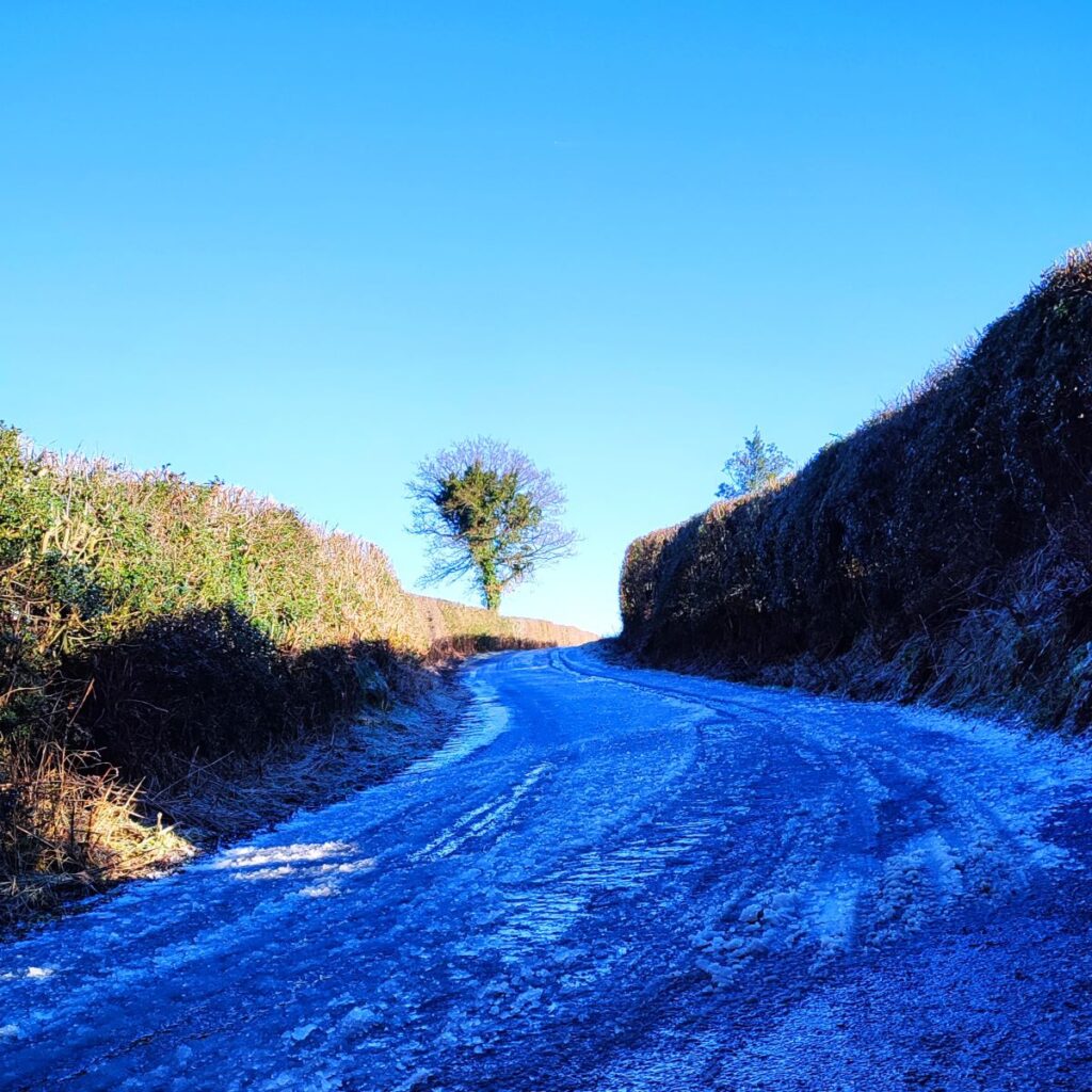
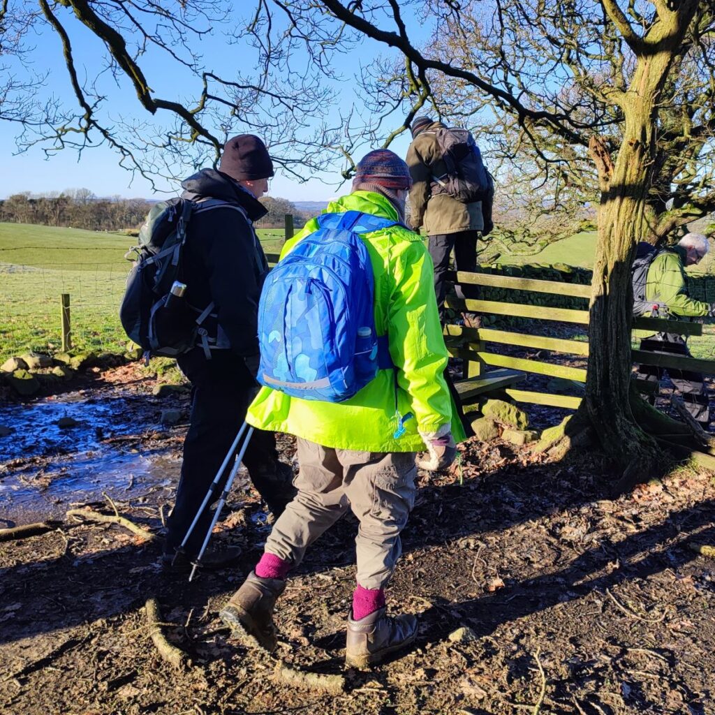
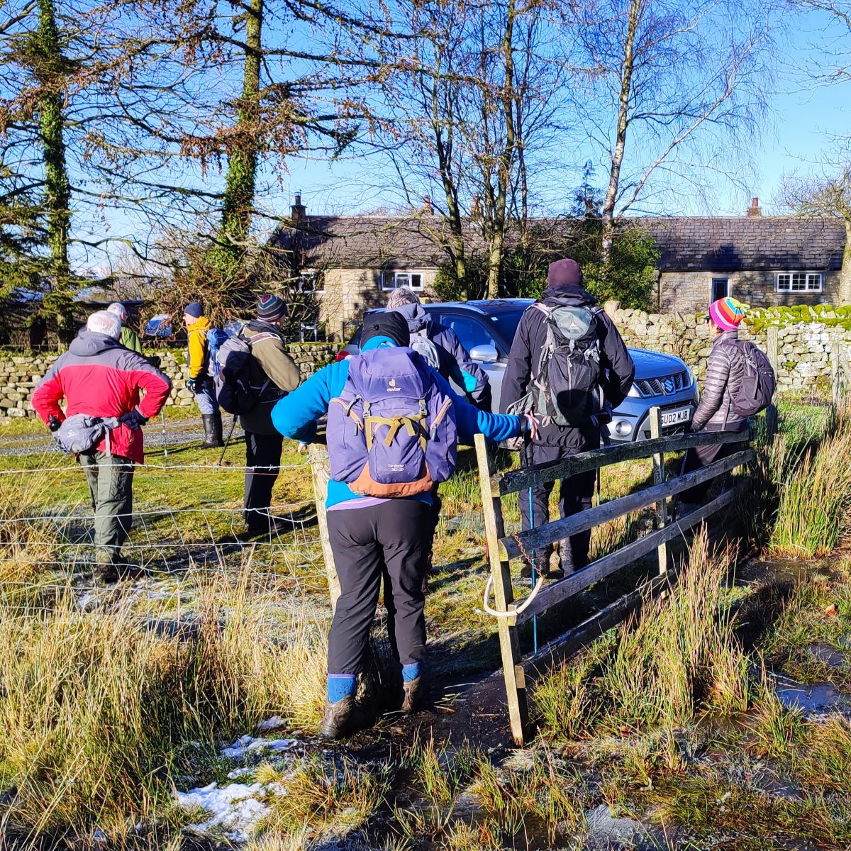
A quick glance at the pictures associated with this walk will show you that we undertook this route on a beautifully crisp icy day – but the date was not as originally intended: our plan had been to walk at Ribblesdale, but the risk of black ice on the journey over prompted this last minute swap.
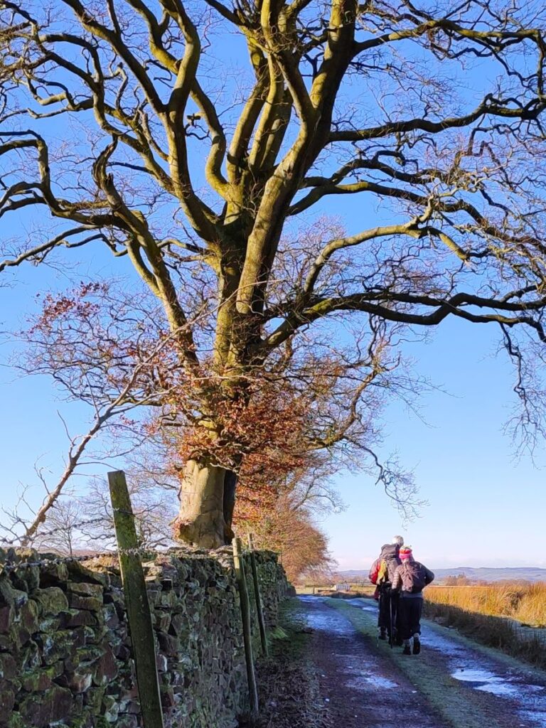
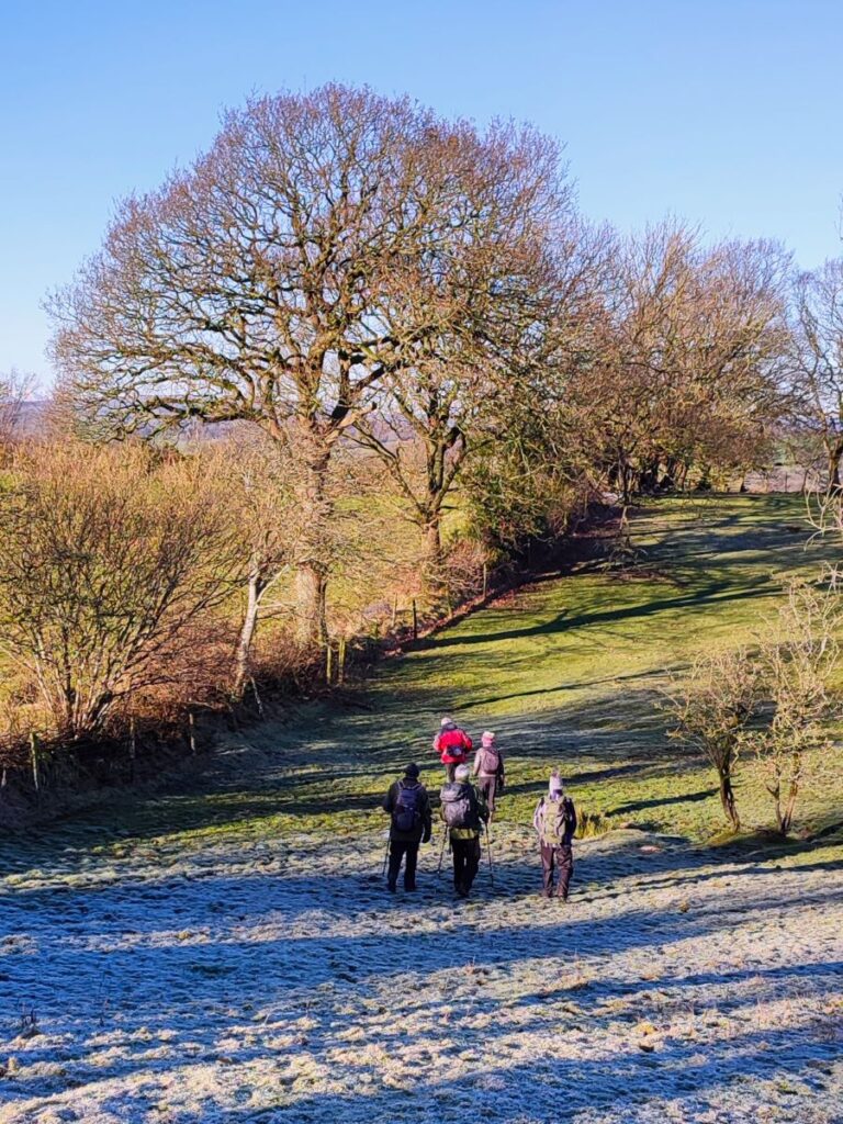
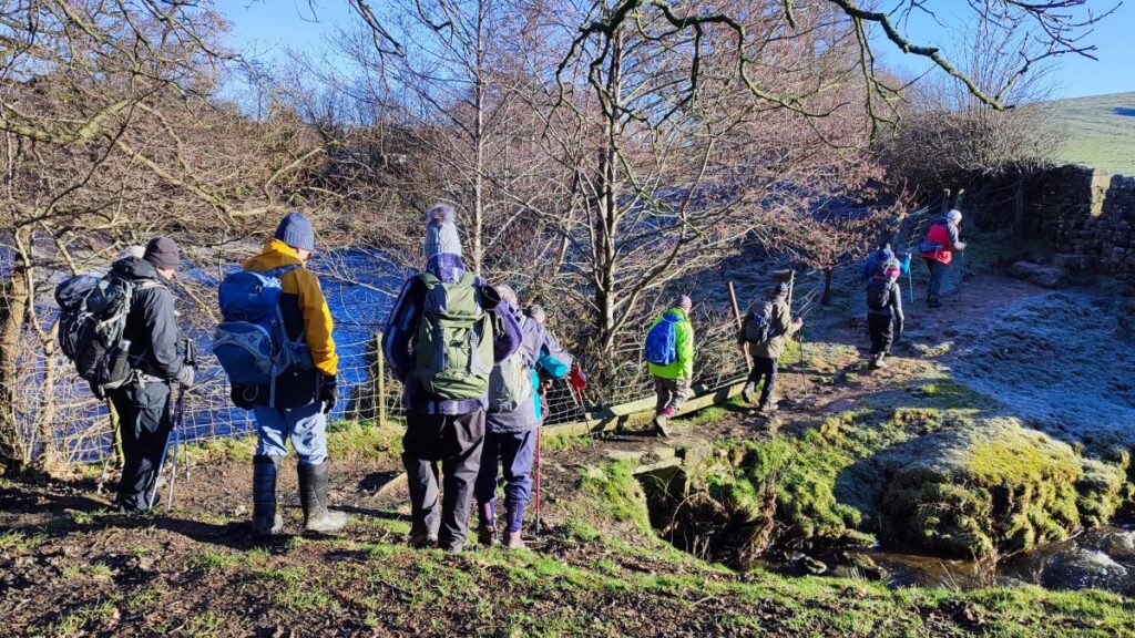
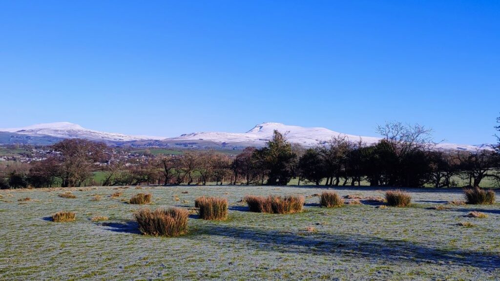
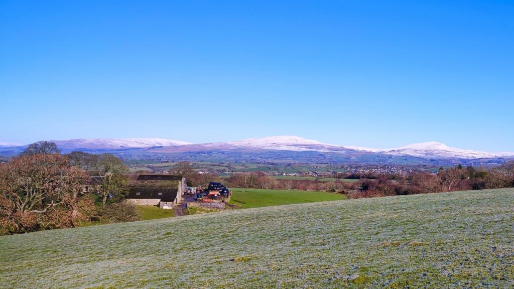
The walk showcases the best of the local area – with views of the Three Peaks dusted in snow, horses running on the moorland, an exciting clamber down to the delightfully named Burbles Gill using steps installed by BFG many years ago, a view of the Big Stone, and then a walk across the moorland at Bents where we have great views of the Lakeland Fells. We then go to Low Bentham and head up the riverside path back to High Bentham. We love it when a plan comes together.
- Total distance 12.3 km (7.7 miles)
- Total ascent 279 m
- Moderate walk
Step-by-Step

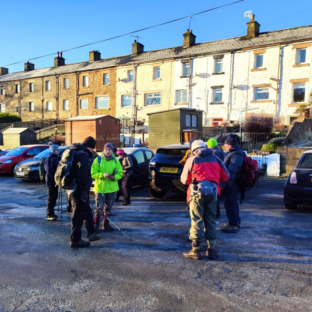
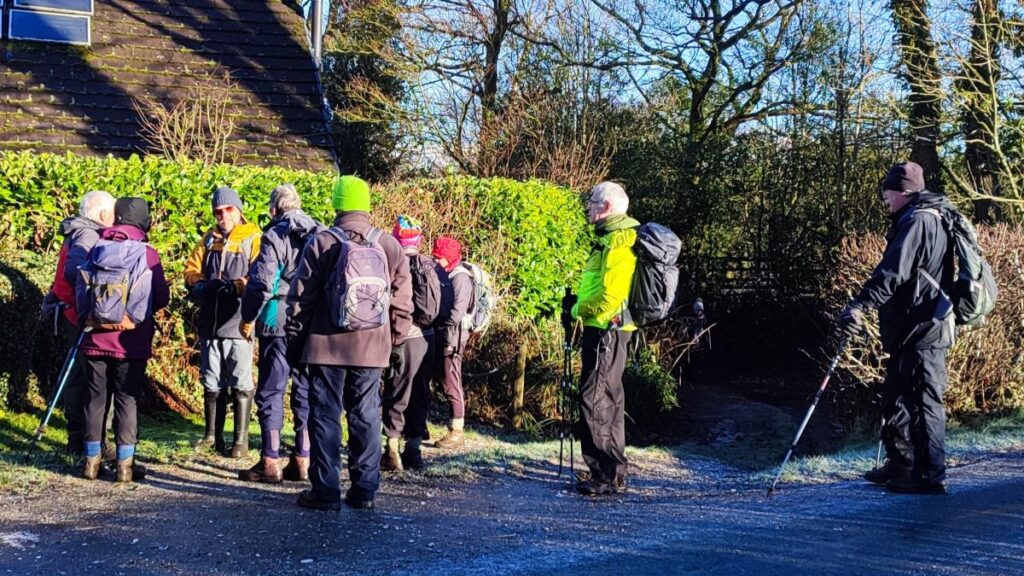
We start from the car park at Lairgill in High Bentham. This doesn’t need any introduction for group members, as it’s where we meet for all our walks, but if you are picking up this walk via our website, and need to know where Lairgill is, the address for your Satnav is Butts Lane High Bentham LA2 7JZ. If you prefer paper maps, then the grid reference is SD67096933 and the what-3 words tag is quieter.node.canal Parking is free.
We set out by walking down to the bottom of Butts Lane and heading left along the B6480 toward Clapham. We are on the main road for only a short distance – about 50m, after which we take a right turn following a signposted right of way. In fact, at this point there appear to be two roads running next to each other. Strictly speaking, the right of way is down the right hand of the two lanes and then over a stone stile to cross the left hand lane and then take a path off on the left – just 50m down the track from the B6480. If you inadvertently follow the left hand just look for the pathway on the left.
The path leads down to a step stile and from here we are into fields behind the houses at the edge of Bentham. We need to head downhill toward a concrete slab bridge over a small beck – the path is clear – and on the far side of the bridge we cross a gated stile and climb a gentle hill noted on the OS map as Cowslip Hill. The path then enters an enclosed lane which we follow uphill toward a cluster of buildings at Summerfield Farm.
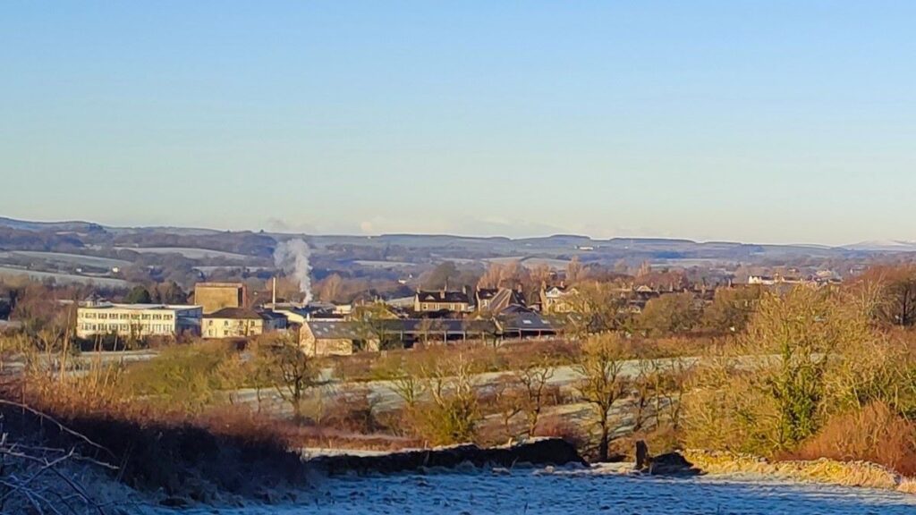
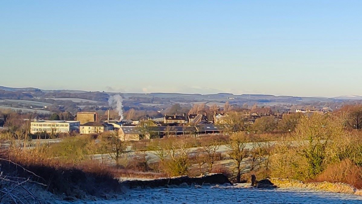
As we climb, it’s well worth looking back to see Bentham in the distance – the large Angus factory which manufactures fire hoses and other firefighting products is clearly visible and has been a mainstay of the economy in Bentham for many years. The company can be traced back to 1788, but its presence in Bentham dates to 1904 when George Angus & Company Limited purchased the hose and belting operations of the Bentham Spinning & Weaving Company and started to manufacture hose at Bentham. Since then, the company has diversified and manufactures a wide range of fire fighting products. To find out more, click here
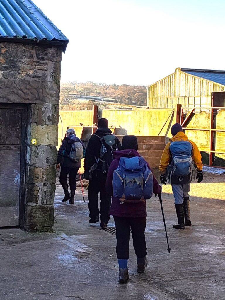
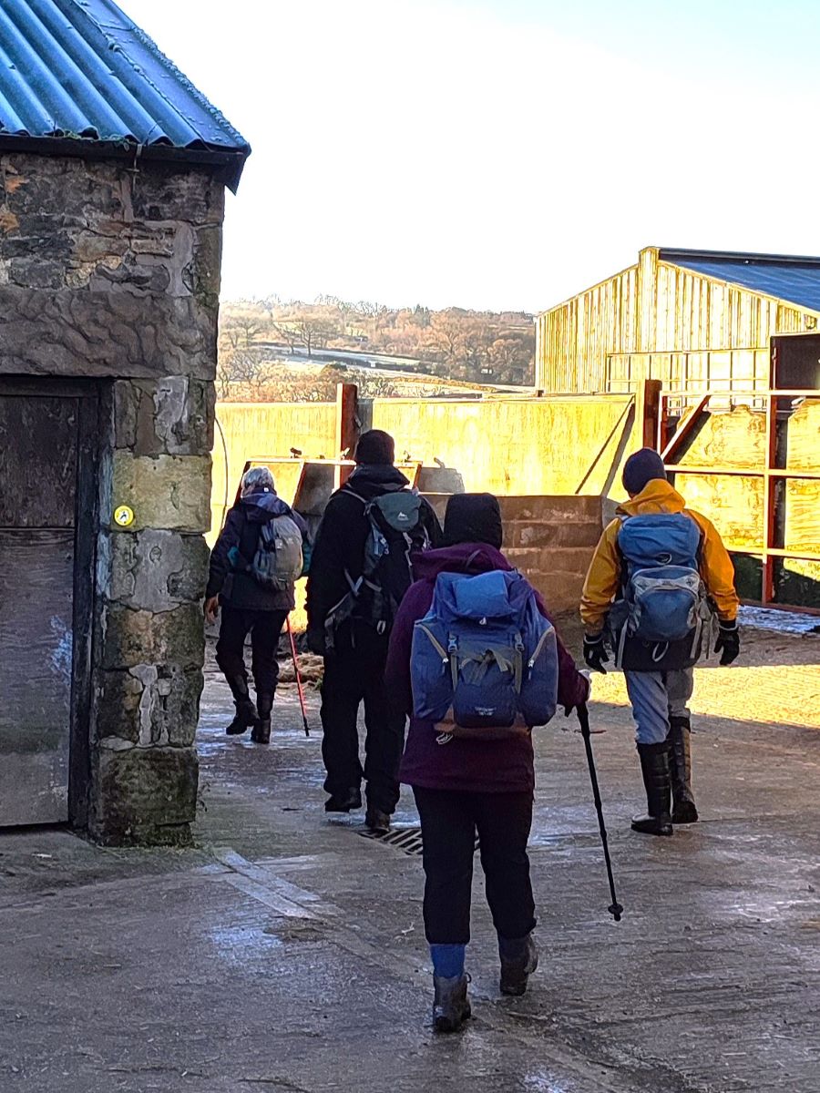
As we follow the enclosed lane uphill, we soon see a stile in the righthand wall and take the path over the field heading east along the contour lines. This takes us through a gate, and we then start to head downhill to cross a pasture heading toward the large cowsheds of the farm ahead. As we approach this, we have a further stile to climb, before we take a path around the left hand side of the cowsheds. Note that the OS map shows the path heading directly through the sheds, which is clearly not possible.
We follow the path round through the farm and then once we come down into the farmyard need to be careful with the route: There are paths up the access road to the farm on our left, straight ahead to continue up the Wenning Valley, both of which we ignore, and a path to the right and between the farm buildings – this is the one we need. There are way markers, but they are easy to miss.
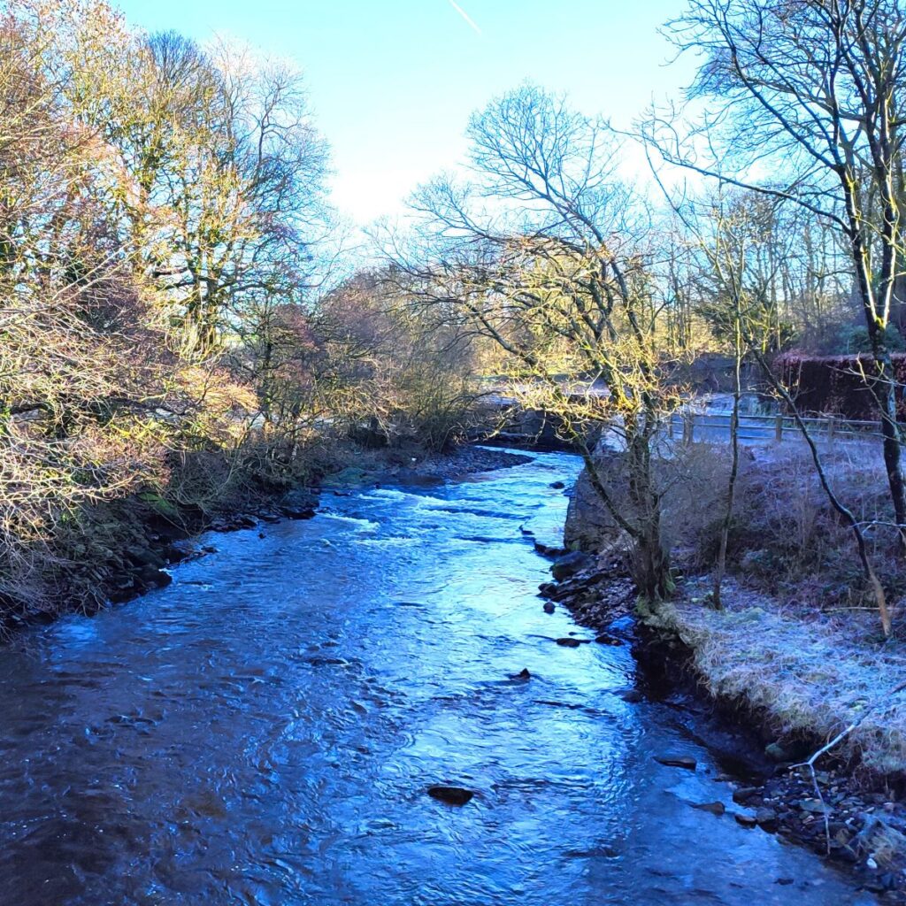
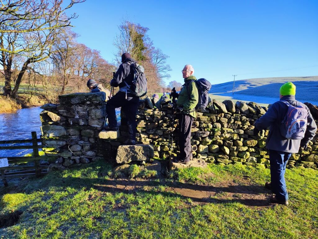
We are now on a lane which leads down to the railway where we pass under the line and arrive at a gate with a stile to the right. Ahead of us at this point is a short crossing over a field to a pedestrian bridge over the river Wenning – the field can be very muddy at times, but after a deep frost we were lucky enough for it to be easy to navigate.
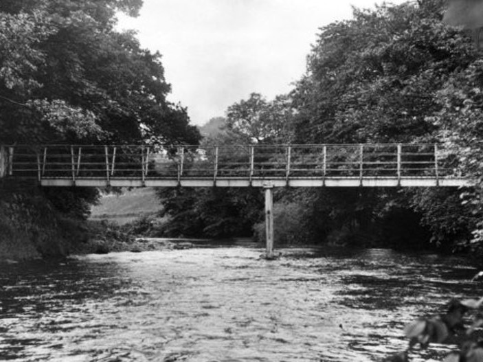
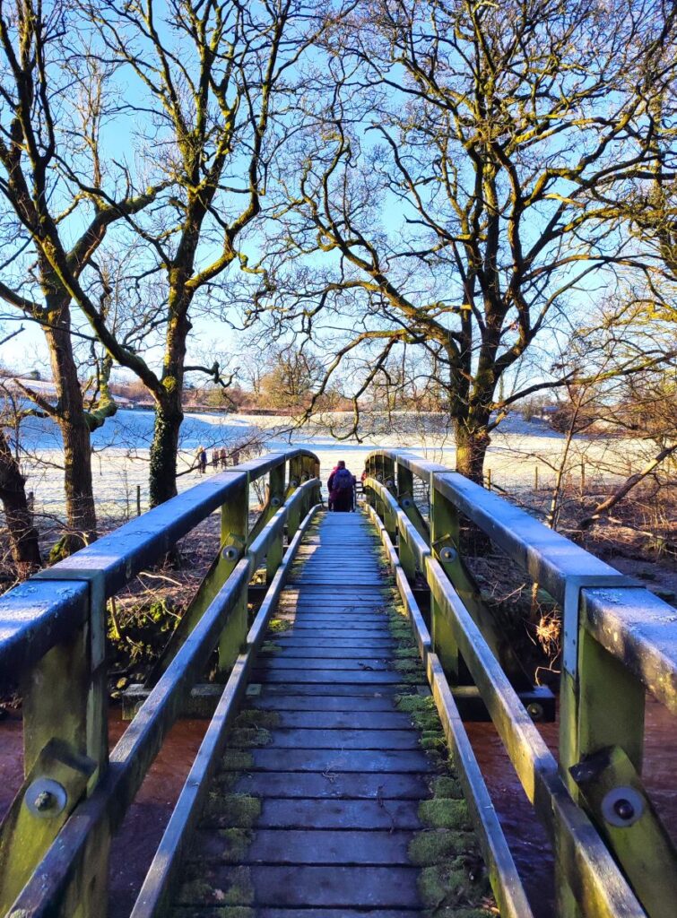
The bridge we now cross is referred to locally as “Shaky Bridge” and given that we cross on a well-constructed wooden deck sitting on an enormous steel arch, we may wonder why this somewhat dismissive name is used. It dates back to the days before the current bridge was built – the previous structure was a less robust looking bridge with one central support which did indeed shake. This bridge shown in this picture from the 1950s also had a steel superstructure and replaced an even earlier and distinctly more rickety wooden bridge – it would seem likely that the name was first attached to that wooden bridge There is a rare archive picture of that to be found here.
When Bentham Footpath Group was founded, it was more of an activist organisation than it is today, and working parties got heavily involved in the installation of bridges, stiles and other path infrastructure. We found this 2003 picture in the group’s archives, and it shows the current iteration of shaky bridge at the time of installation, but it is unclear whether the group took the picture as a point of interest or whether they helped with the installation. Whoever completed the installation though, it’s stood the test of time well.

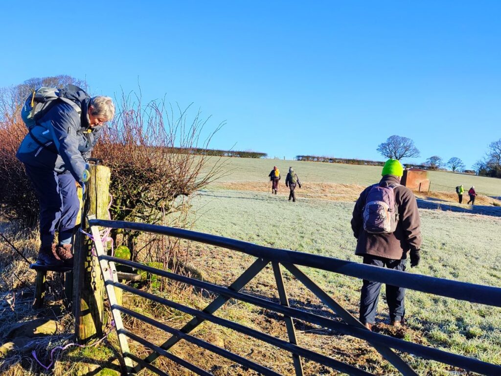
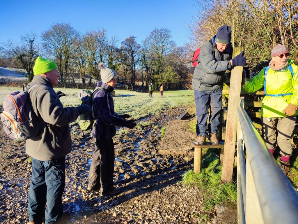
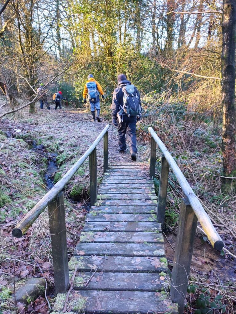
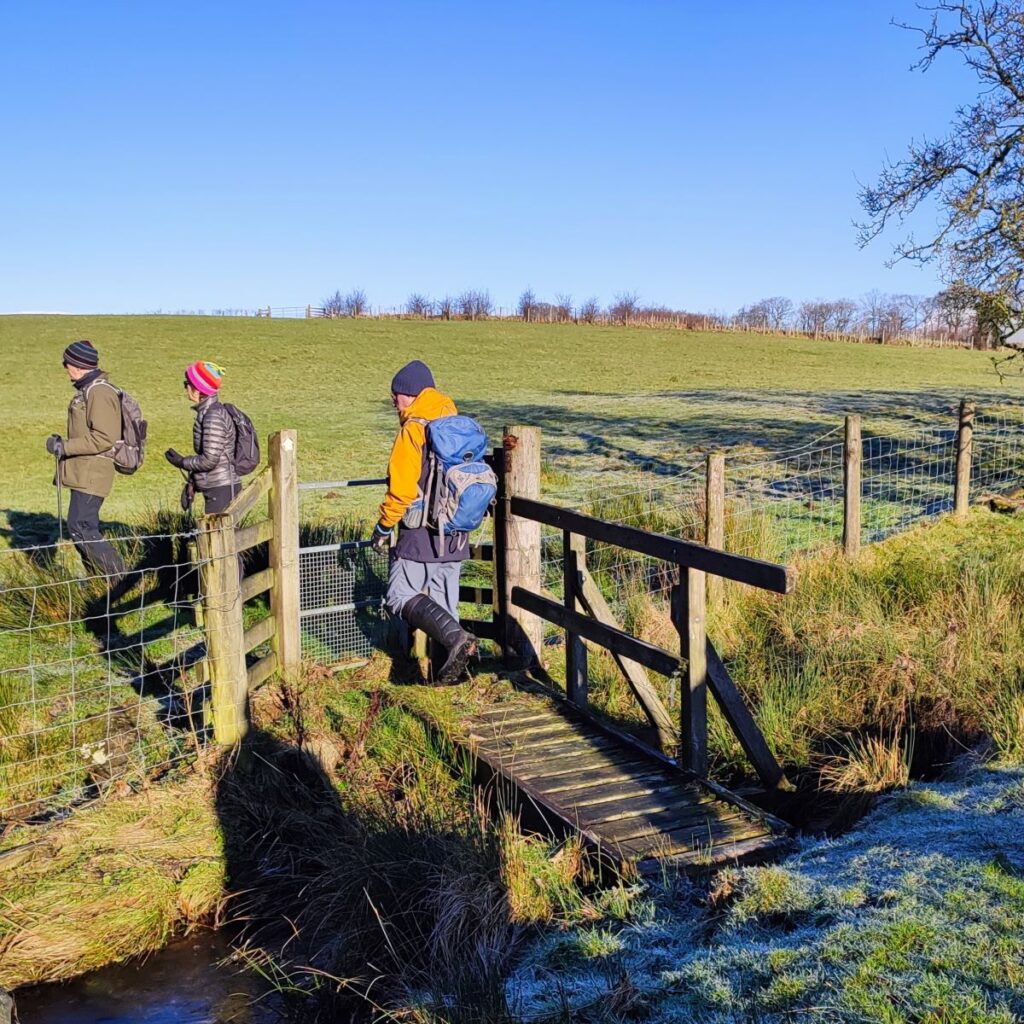
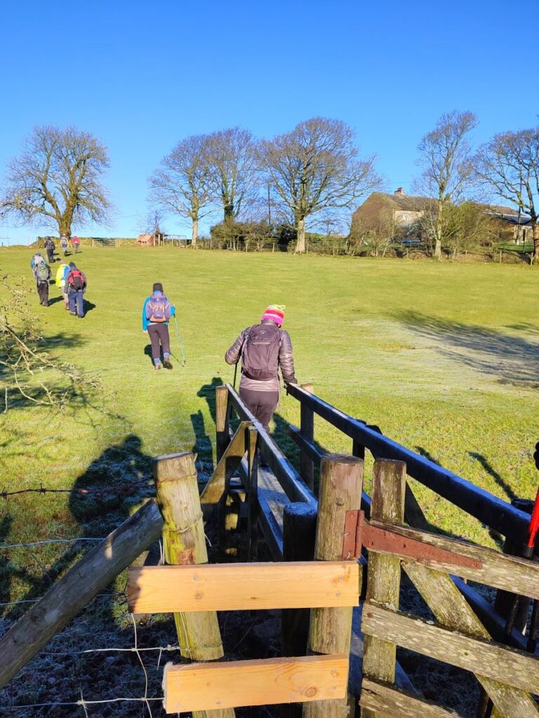
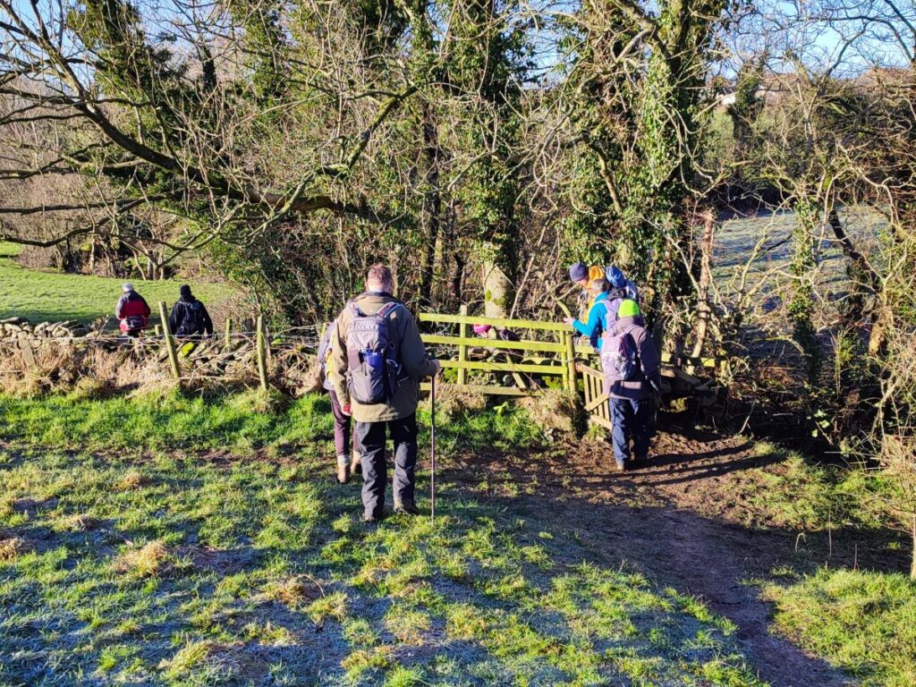
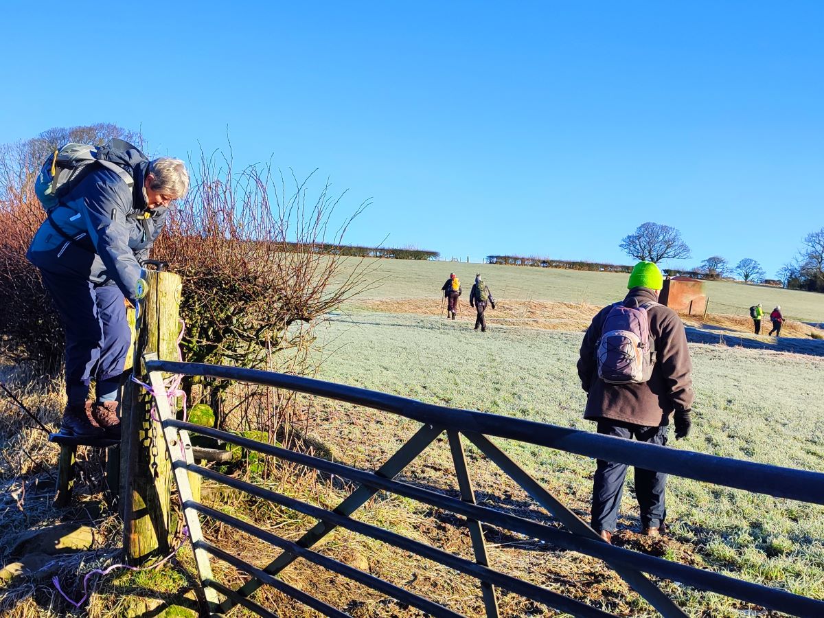
Once across the bridge we have a fence in front of us with a stile to help us cross. Beyond this, we head across the flat field and then uphill toward a stone stile where we again have a choice of paths.
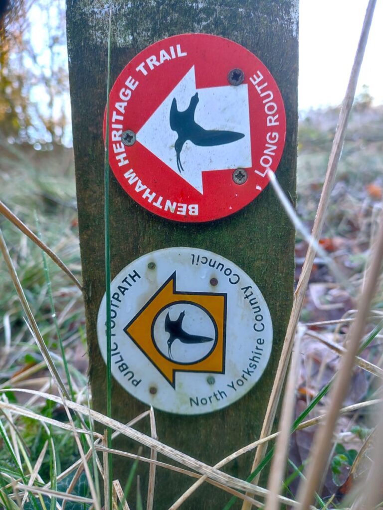
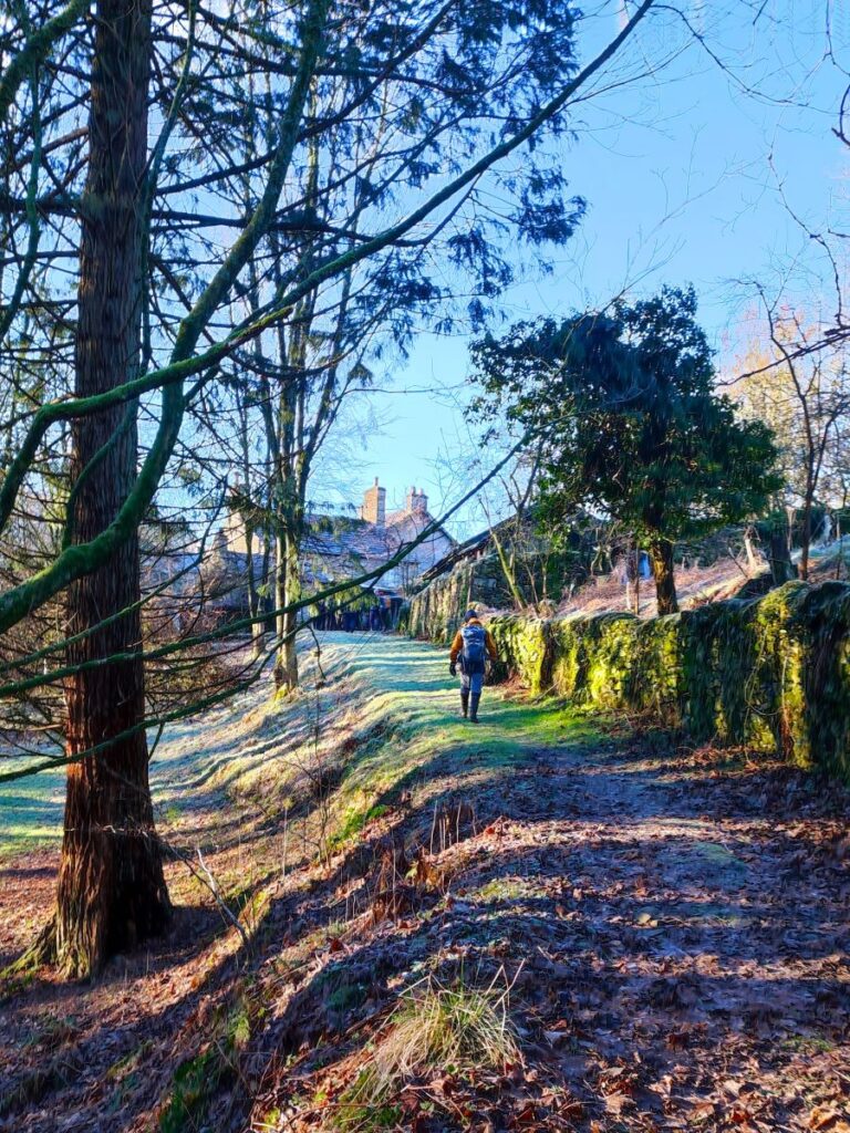
If we were to turn left, we would be on one of the Bentham Heritage Trails heading toward the bend in the river at Bowtham Wood. Instead, we go straight ahead and up into the woodland that sits either side of Branstone Beck. The path initially heads up the left hand side of the beck, before crossing to the right at a wooden footbridge, then climbing toward a house. As we approach the house, we need to pass it and then head left, and it looks tempting to walk to the left of the house to do this. It is important to note that the right of way is round the right hand side of the house adjacent to the garage / workshop, so please be respectful of the owners, and take the marked route.
Once past the house, we head left and follow the track between the properties and down to a gate. Beyond that, the track heads uphill and across a field toward Mewith Lane. On the way up the field, the path branches again – the route on the left heads over toward Sunny Bank, but we stay straight ahead and find a stile and somewhat muddy path along the side of a house and then on to Mewith Lane.
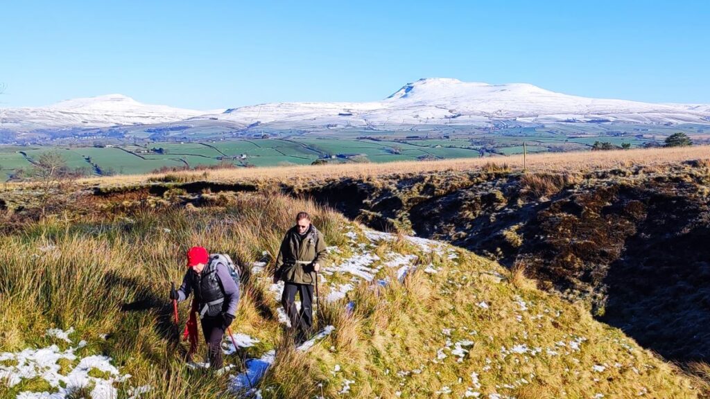
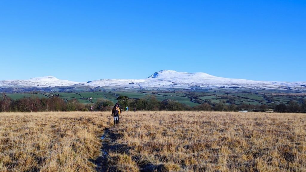
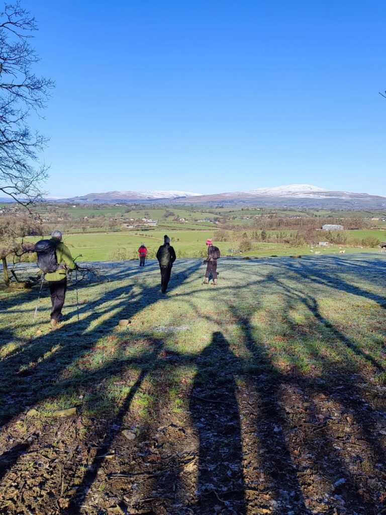
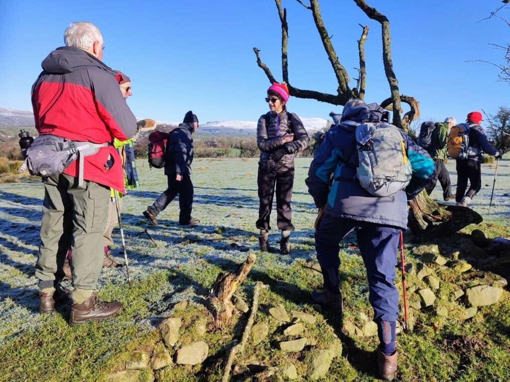
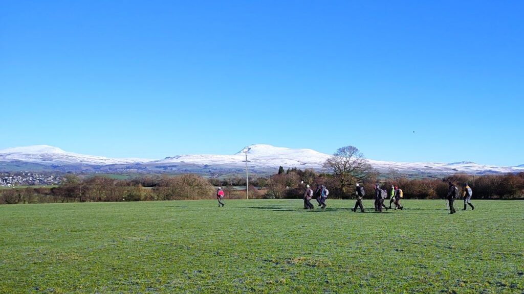
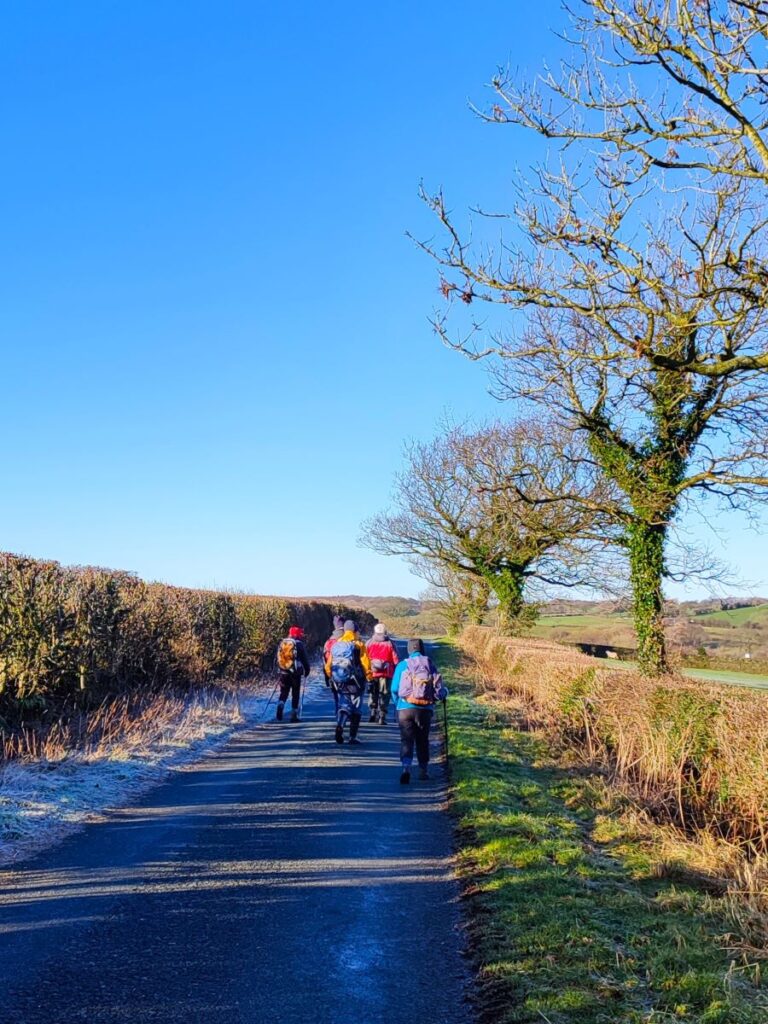
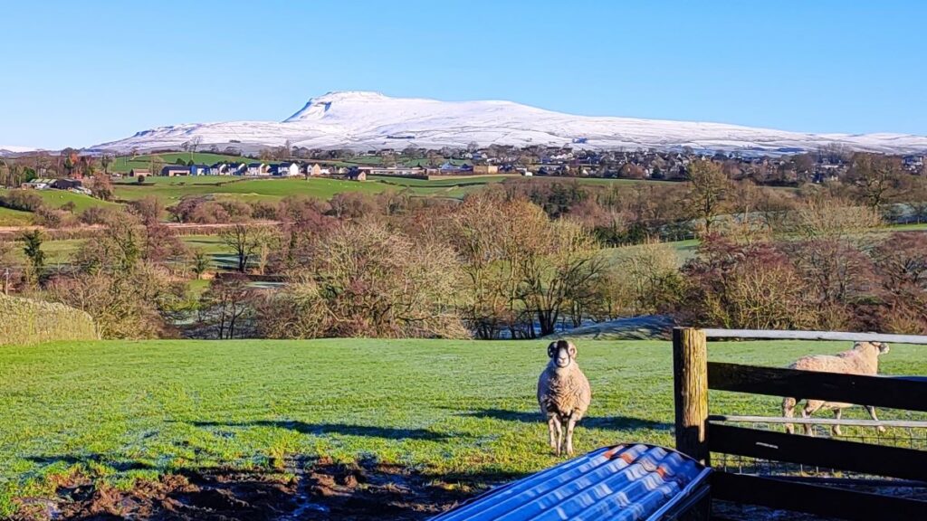
Immediately opposite we see a gravel track which heads up onto the moors at Banks. We follow the track up to a cattle gride and then once clear of that, head slightly to the right to cross the moor diagonally toward a clearly visible patch of woodland and a few houses – the path here will generally be clear, but if you stray off it a little, don’t worry just keep heading toward the houses visible ahead and to your right. As we go, don’t forget to look back as this is one of the areas where we have stunning views with all three peaks in our field of vision in some parts.
To see a panorama shot from the day of our walk, click here

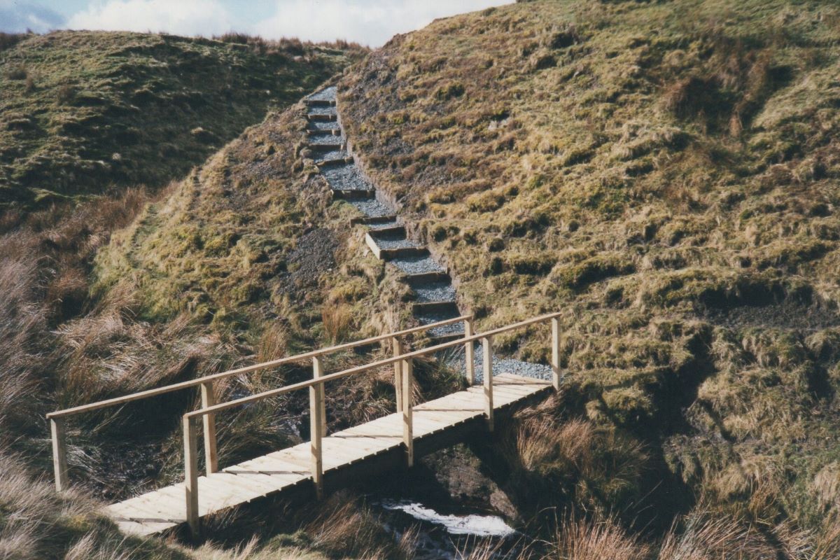
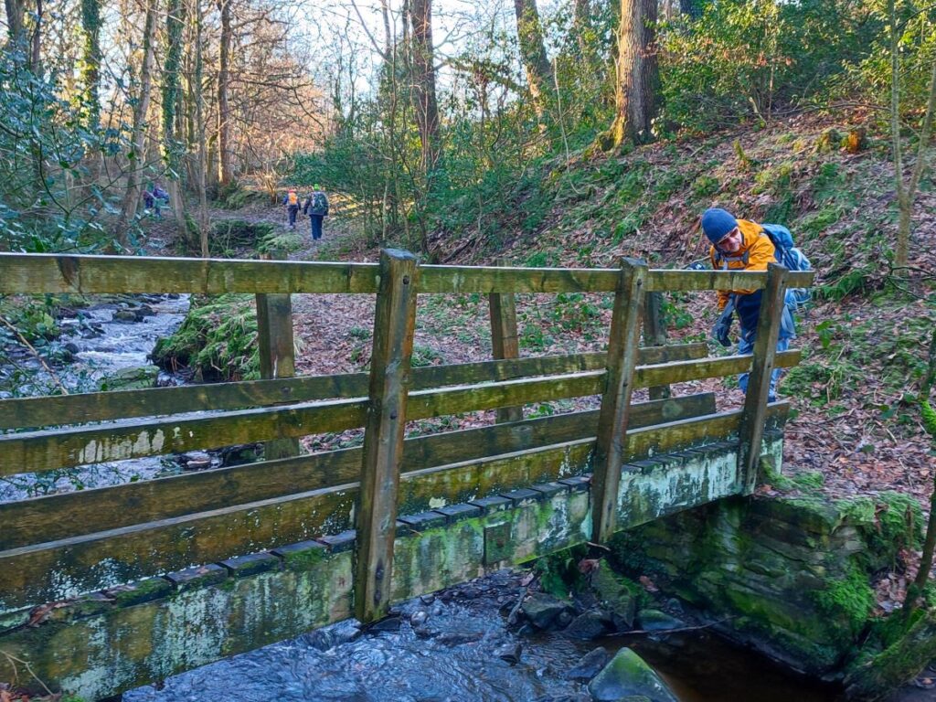
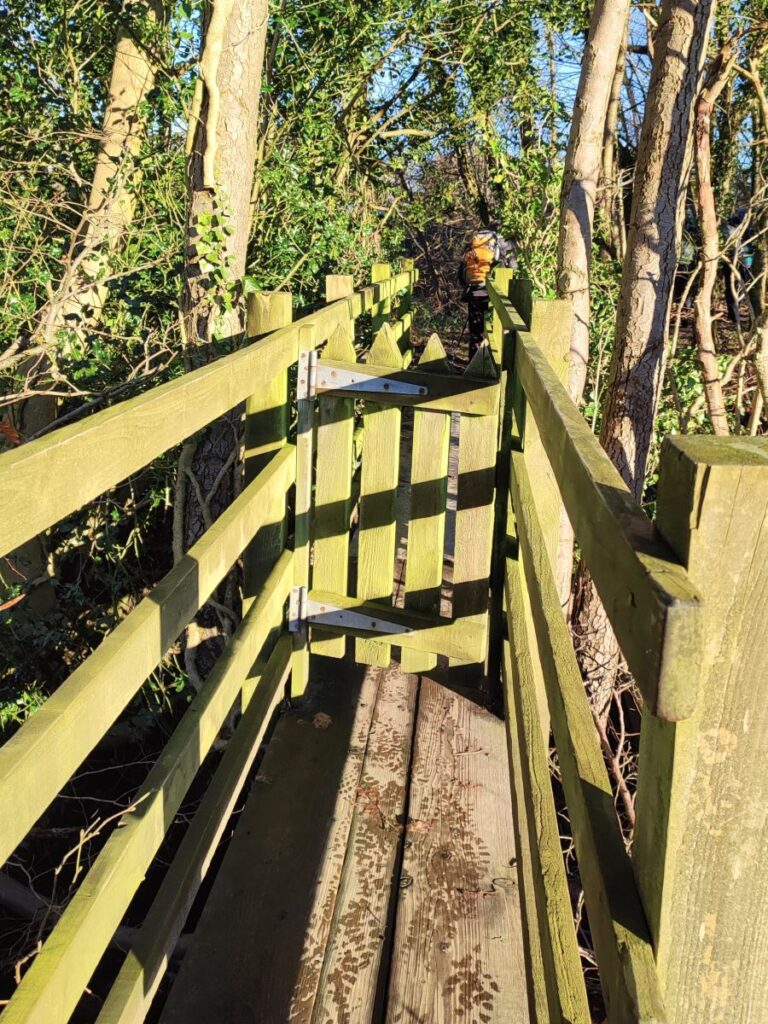
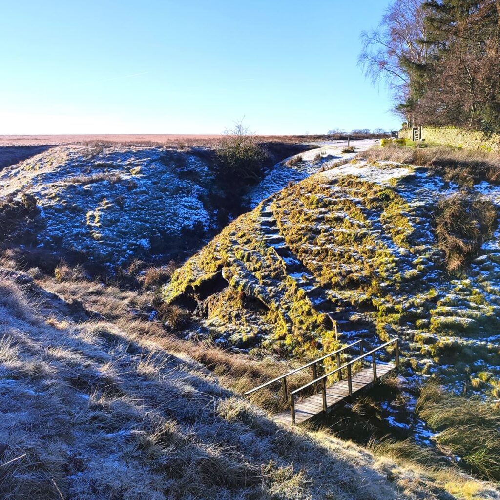
As we reach the far side of the moor, we arrive at a small stream in a deep ravine – Burbles Gill – it becomes Branstone Beck further down toward the Wenning. This is another area where Bentham Footpath Group were active in the creation of one of our local paths many years ago, and again, we have archive photos showing the steps and wooden footbridge that we use today being built by group members: This picture dates from around the millennium and was taken at the end of an ambitious installation program.
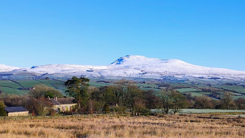
As we climb up the far side, we arrive at a rough road that serves the cluster of houses, and we follow it back to the Slaidburn Road, where we have the Big Stone in our view.
Also known as The Great Stone of Fourstones, the Big Stone is a glacial deposit straddling the county border between North Yorkshire and Lancashire. The name suggests that there were once four stones, but only one is visible now. The other three were possibly broken up for building stone, centuries ago. Large stones such as this were useful as boundary markers in the open countryside, and this one was used as a boundary marker not only for the Lancashire/Yorkshire boundary but also between Tatham and Bentham parishes. The walk we present here does not go directly to the Big Stone, but a short diversion could easily be added – simply walk up the Slaidburn road for about 400m to find the access path and interpretation board. Or . . . you could watch a Youtube video at for more information.
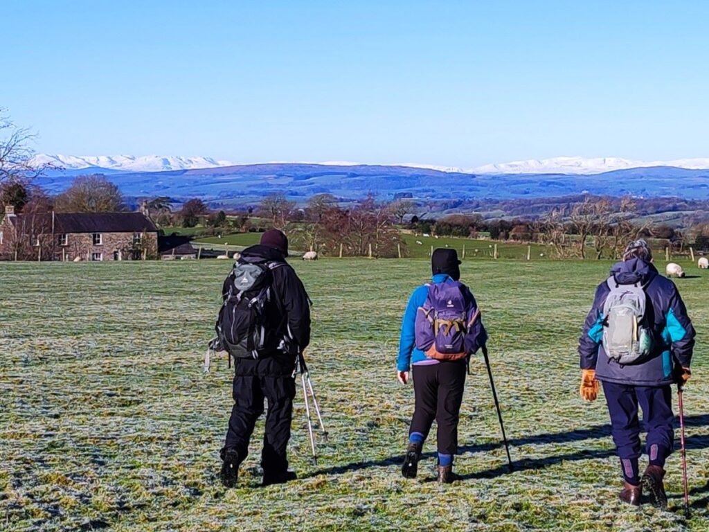
Once we get to the Slaidburn road, we look opposite and see a continuation of the small road we have been using and we follow this past the front of several houses and then on to a junction where we need to keep left and head west along a rough track. There are a number of paths in this area, but in practice, our route is the clear one – just stay on the rough road that we have been on since we crossed the Slaidburn Road. This takes us toward, but not as far as, a farm at Moorlands, and to our right now is the open moorland referred to as Bents – hence the name of this walk. We need to keep heading west now, which in practice means that we need to leave the track about 100m before the gate to the farm, head slightly to the right, and then follow the drystone wall, keeping it to our left as we head over to a house on the far side of the moor about 500m away.
As we approach the house, we cross a gate and find ourselves on the access lane for the property. We follow this down to a bridge over a small stream – this is County Beck which marks the boundary between North Yorkshire and Lancashire – and then on up to a cattle grid, after which we head sharp right.

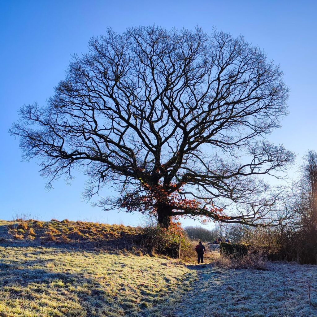
We now head north through a couple of large fields, passing Tunstall house on our left and then heading steeply downhill. As we descend, we see two farms – Oakhead on the right and Oakhead Bank on the left. Our path goes between the two so look for a stile and footbridge at the bottom of the valley where we cross a small beck and then head up to a large oak tree to the left of Oakhead.
Once we are on the lane, we go through the gate at the side of Oakhead and then left through a stile, where the path continues north with Oakhead Bank on our left. We keep to the left of the large field ignoring a tempting stile just past the farmhouse and press on down to the far end where we arrive at Mewith Lane again.
We cross the lane and see a way marker indicating the route almost opposite – our route is simple for a little while now: We head consistently north through six fields directly toward Low Bentham.
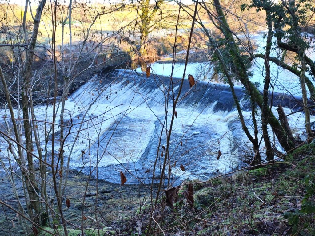
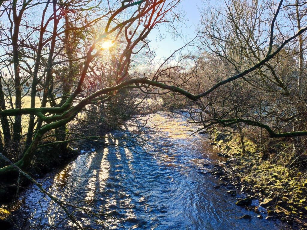
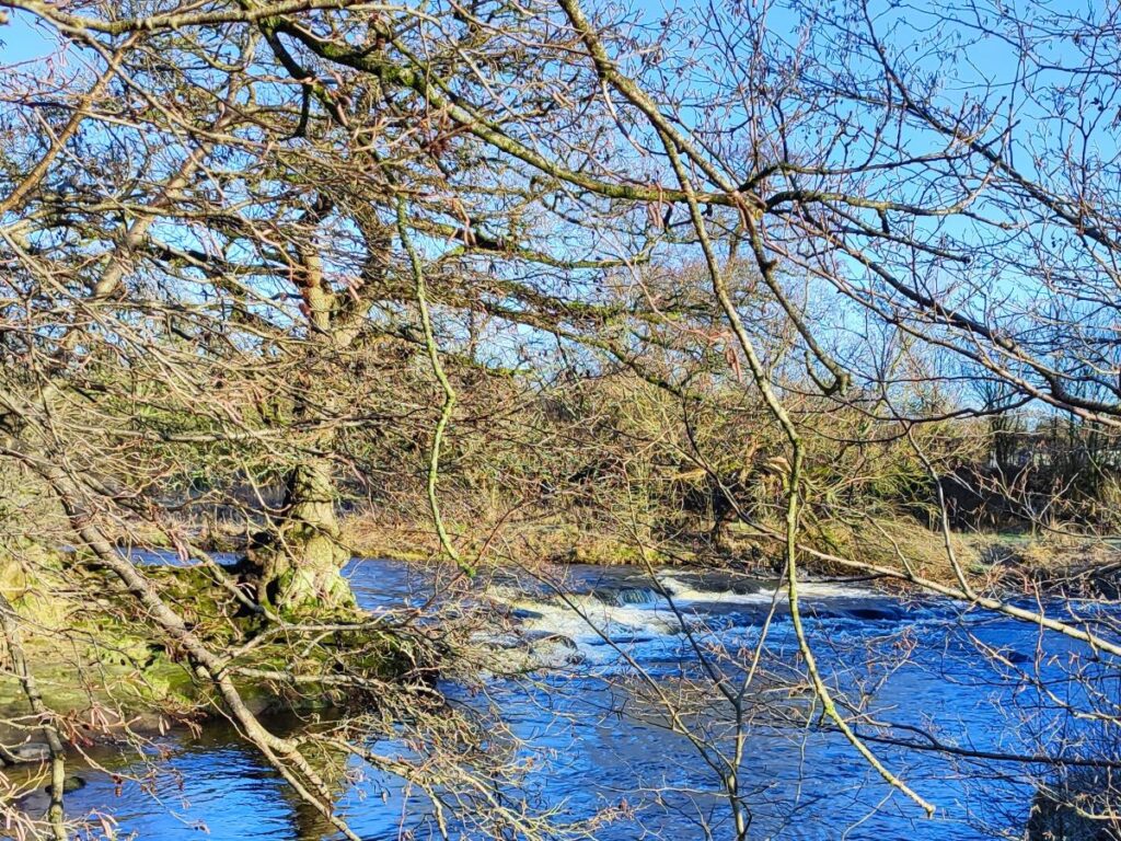
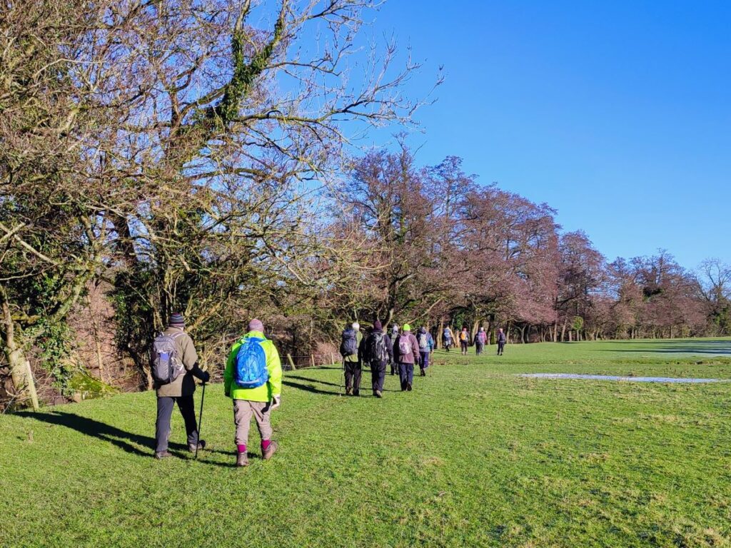
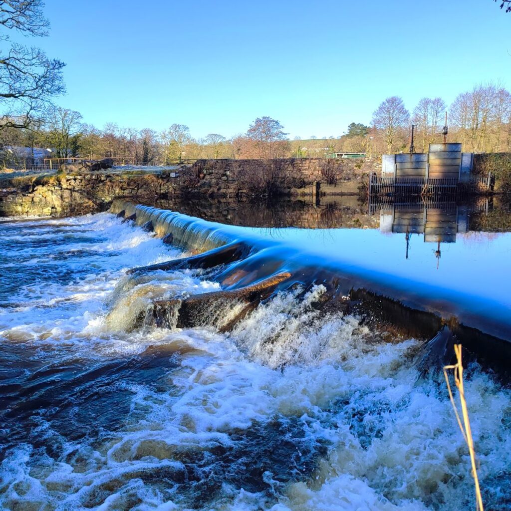
In the last of those six fields, we will likely meet horses (friendly) and need to aim to the left of the stable block that we see ahead. This takes us onto a yard at the side of the stable and then onto Mill Lane in Low Bentham. We turn left at Mill Lane and walk along the road until we get to Cloudsbank where (on the right) we see the start of the path along the edge of the Wenning up to High Bentham. The route from here is clear – and very well used – so there is little chance of any navigational error. Simply follow the river upstream to the caravan park, passing the weir and fish ladder on the way.
Once at the caravan park we head right along the internal road – still part of a public footpath, and then once past the reception building, follow the right of way through the caravans at the side of the Wenning crossing a stile then a footbridge to access a patch of woodland at the side of the Wenning.
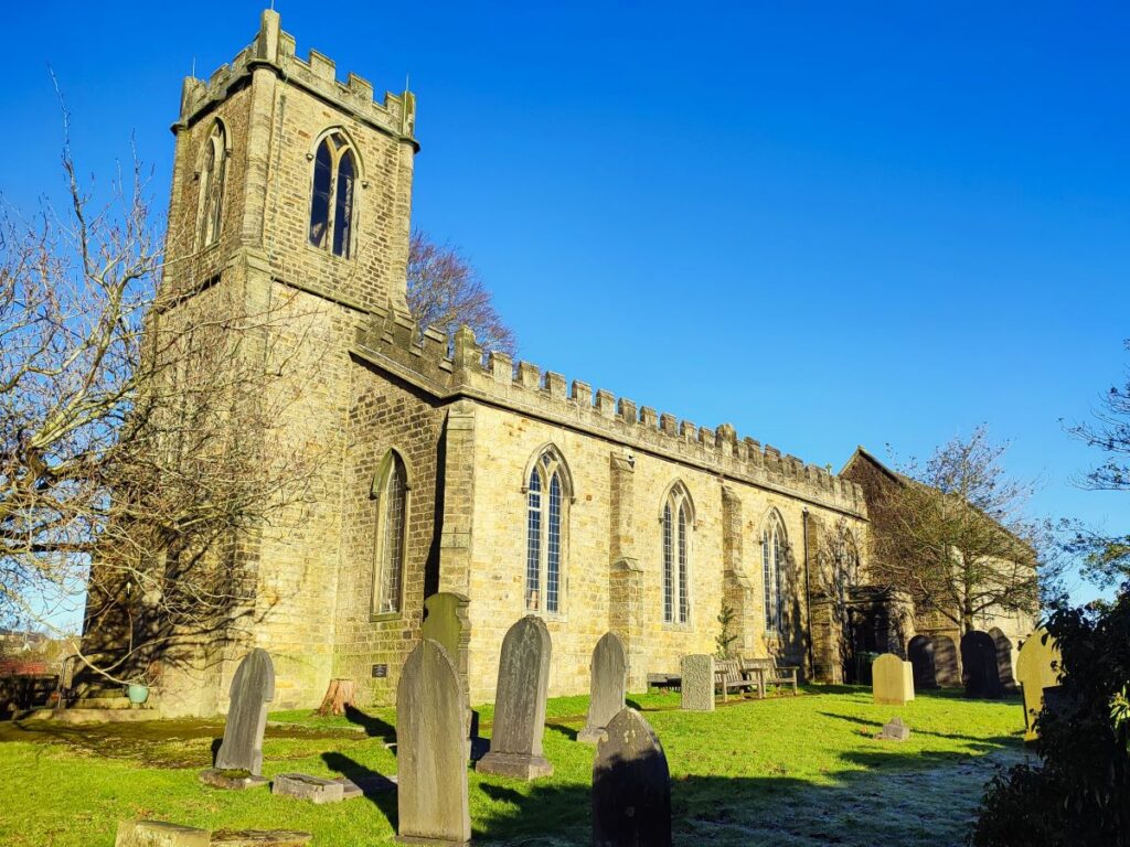
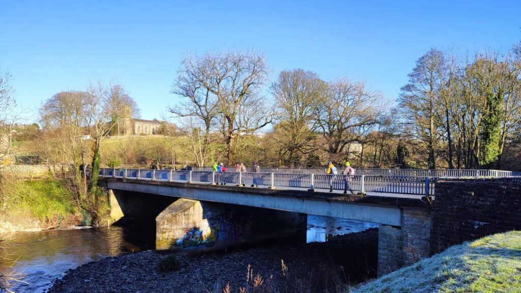
As the path emerges from the trees, we pick up the access road for the site again and take it up to the Slaidburn Road where we see the road bridge. We cross the bridge, move to the other side of the road and soon see St Margaret’s Church ahead of us on the right, with Angus on the left.
St Margaret’s was built in 1837 and was extended in 1901–02 (almost inevitably) by the Lancaster architects Austin and Paley. The additions included a new chancel, transepts, organ chamber and vestries. The plaster ceiling was removed from the nave, new pews, a tower screen and pulpit were installed. These alterations cost £2,014 (equivalent to £300k in current value). The church was closed in 2012 and subsequently converted into two private homes, (at least) one of which is a holiday let click here for more detail
We head up past St Margaret’s, and then take the path around the right of the church, noting the allotments further to our right. The path then follows the railway line until we arrive at a crossing where we cross carefully and continue uphill opposite. This brings us up toward the enclosed lane at Cowslip hill, so the route back to Lairgill is then a simple reversal of our initial outbound steps.
This walk is just over 12km so we define it as “moderate” but those who favour our easy walks should note that there are no steep sections, and under dry conditions the paths are generally easy going.