Jump to . . .Step by Step | OS Map | Downloads | Gallery | Fly through
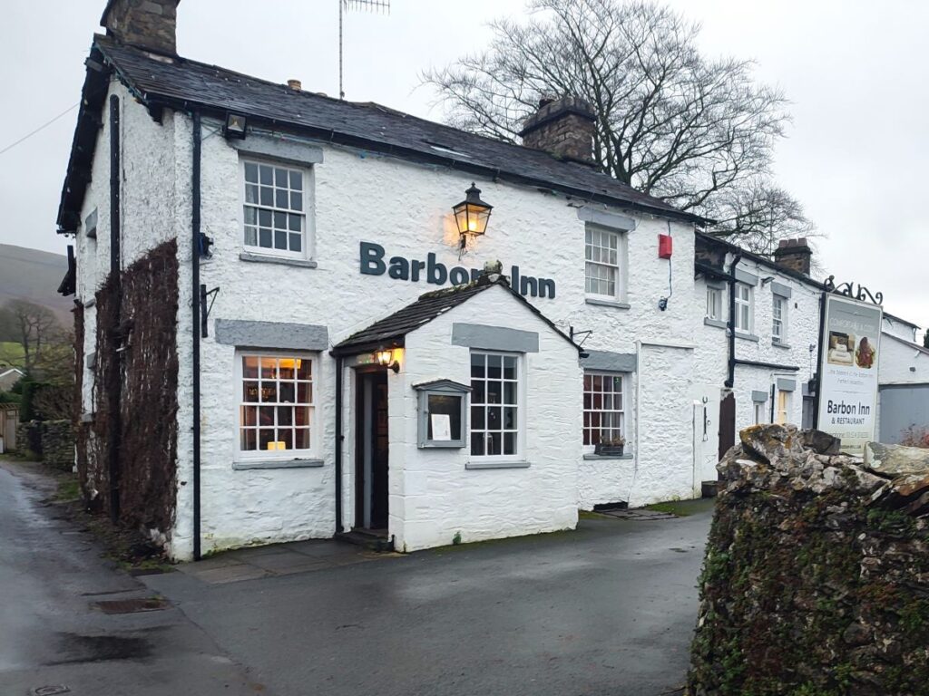
Barbon is great place to start and end a walk. Not only is there convenient parking – either at the layby at Hodge Bridge, or at the Village Hall – but there is a great deli and a highly rated pub, the remains of a Roman Road, the course of a disused railway, grand houses, ancient stone circles, and a motor sport venue.
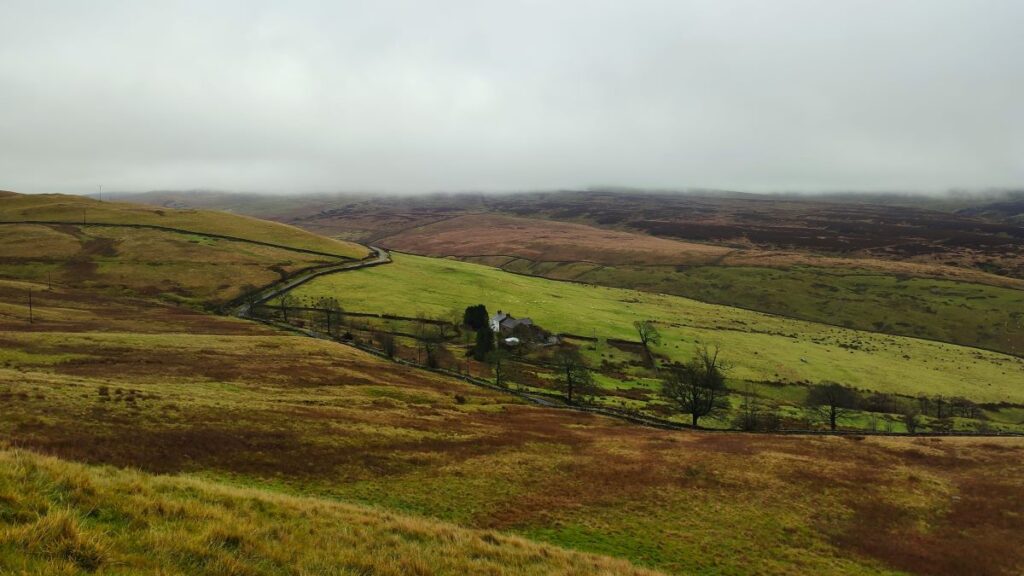
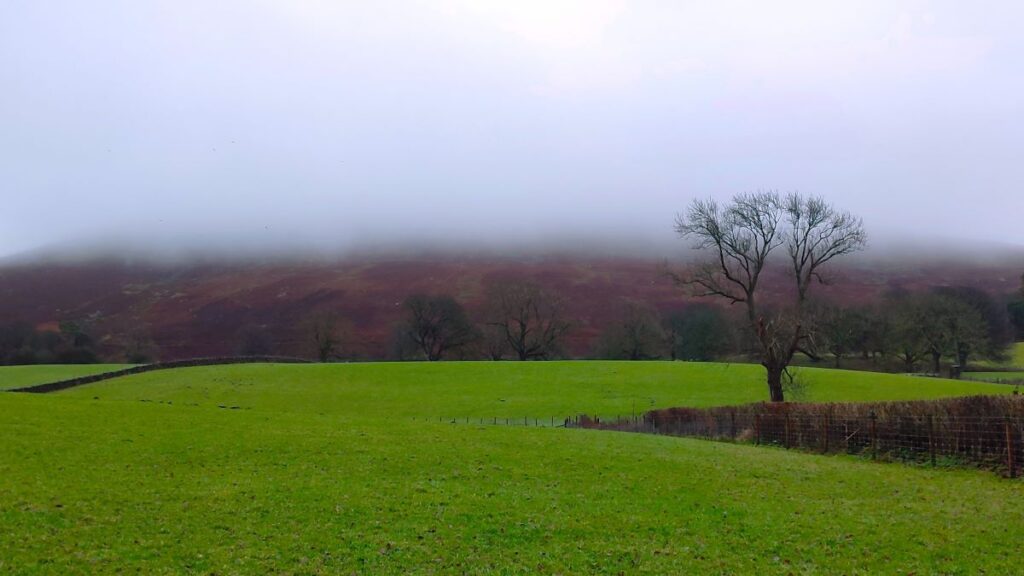
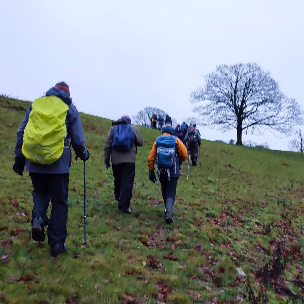
This moderately challenging walk offers all that, plus artworks by Andy Goldsworthy, great views down the Lune Valley, an invigorating climb up Brownthwaite, a very attractive waterfall, and then an easy finish along the banks of Barbon Beck in the grounds of Barbon Manor.
- Total distance 13.3 km (8.2 miles)
- Total ascent 385 m
- Moderate walk
Step-by-Step

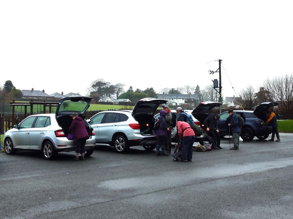
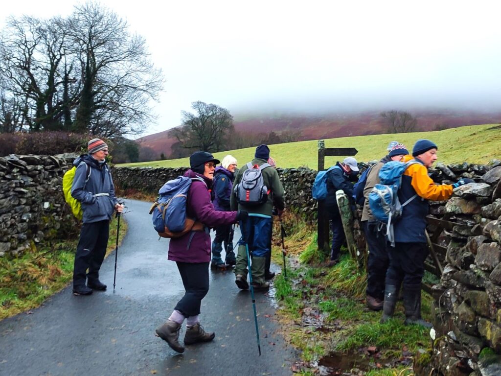
We start at the Village Hall in Barbon, where there is convenient parking – this is chargeable, and works on an “honesty box” principle. The team at the Village Hall do great work, so please support them with a suitably generous donation. Click here for their website
Barbon is easy to find – take the A683 from Kirby Lonsdale toward Sedbergh and then follow the signs after Casterton. The Village Hall is right in the centre of the village and is easy to find. If you are using Satnav to get there then the address is New Road, Barbon LA6 2LL, the what-3-words tag is sprayed.sprinter.selling, or if you are using the OS map then the grid reference is SD62778230.
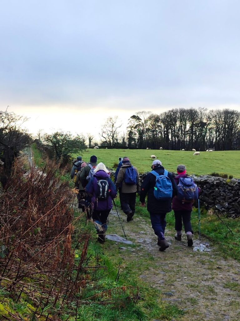
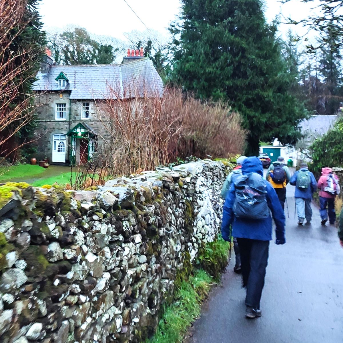
From the car park, we first feed the honesty box, then head back to the road – so that the Church Mouse at Barbon is nearly opposite us – and then head right along New Road for a short distance. We are on the road for only 50m, and soon see a metalled lane on the left heading toward a cluster of houses at Town End. We follow this lane down to the end where we find a footpath sign directing us to the left of a house and to a gate where we cross what was once the rail bed for the Ingleton Branch of the North Western Railway.
The line opened in 1860, and ran from Clapham, through Ingleton, Kirkby Lonsdale, Barbon, Middleton-on-Lune, Sedbergh and Lowgill, before joining what is now the West Coast main line, just south of Tebay. There was once a station at Barbon – we will pass the site later in the walk.
Passenger services ceased on 30th January 1954 – so well before to the “Beeching cuts” – and the line finally closed in 1967. There are signs of the route visible in many places up and down the Lune Valley, including the spectacular viaducts at Lowgill, Waterside (Sedbergh) and Ingleton, so this line features in many Bentham Footpath Group walks.
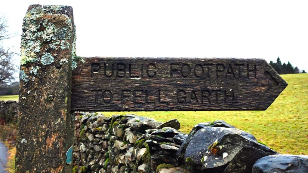
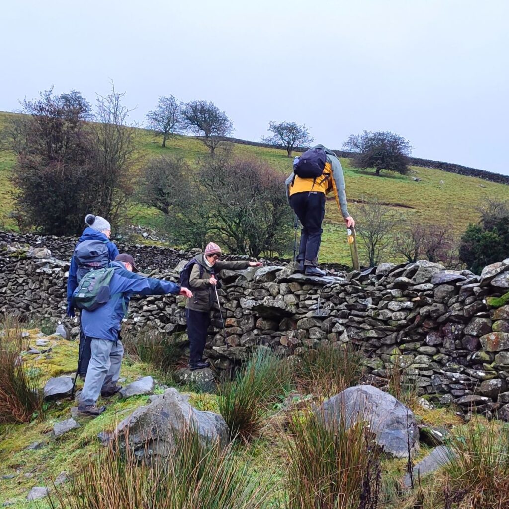
Having crossed the course of the old railway we find ourselves in the well-tended grounds of a large pink house – with a rather impressive tree house and aerial walkway. We head diagonally across the grounds in a South easterly direction to find a stile onto a minor road. The path continues via another stile on the opposite side (sign posted “Fell Garth”) and we then follow that path through a narrow gap behind a patch of woodland to a working farm at Low Bank House.

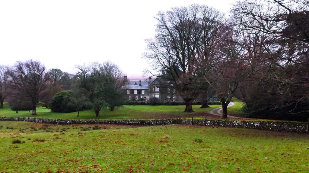
As we come through the gate into the farm, we need to head left to find the track that takes us round into the well-manicured grounds of Whelprigg Hall. This rather impressive house was originally a simple farmhouse dating back to 1700. A major part of the current building represents a complete rebuild, and dates from 1834, with a further small addition in about 1900, making it a “William IV country house in the Jacobethan style” – according to it’s website. It is now used as an upmarket holiday let and events venue.
The path heads south through the grounds – the route should be clearly visible, but if in doubt we are aiming to keep the house a little to our left, so that we arrive at the access road without trespassing. From here we see a stile which gives access to a south bound path through four fields until we arrive at Fell Garth and a minor road.
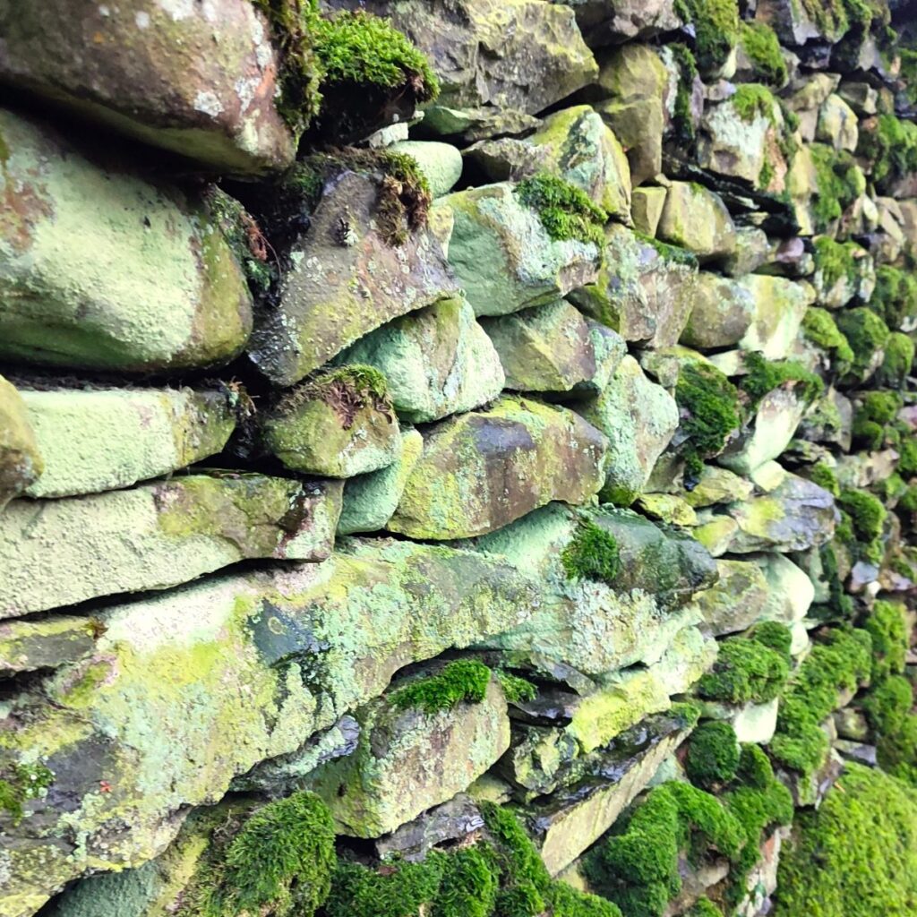
Once again, we simply cross the road and continue with the path on the far side to head south across a field, to find a gate. Beyond this we find a choice of paths – with roundels on a post to indicate their direction. In practice, the roundels only act as a source of confusion – simply go through the gap in the wall ahead and then follow the drystone wall on your right toward Hole House – easily identified by its tennis court.
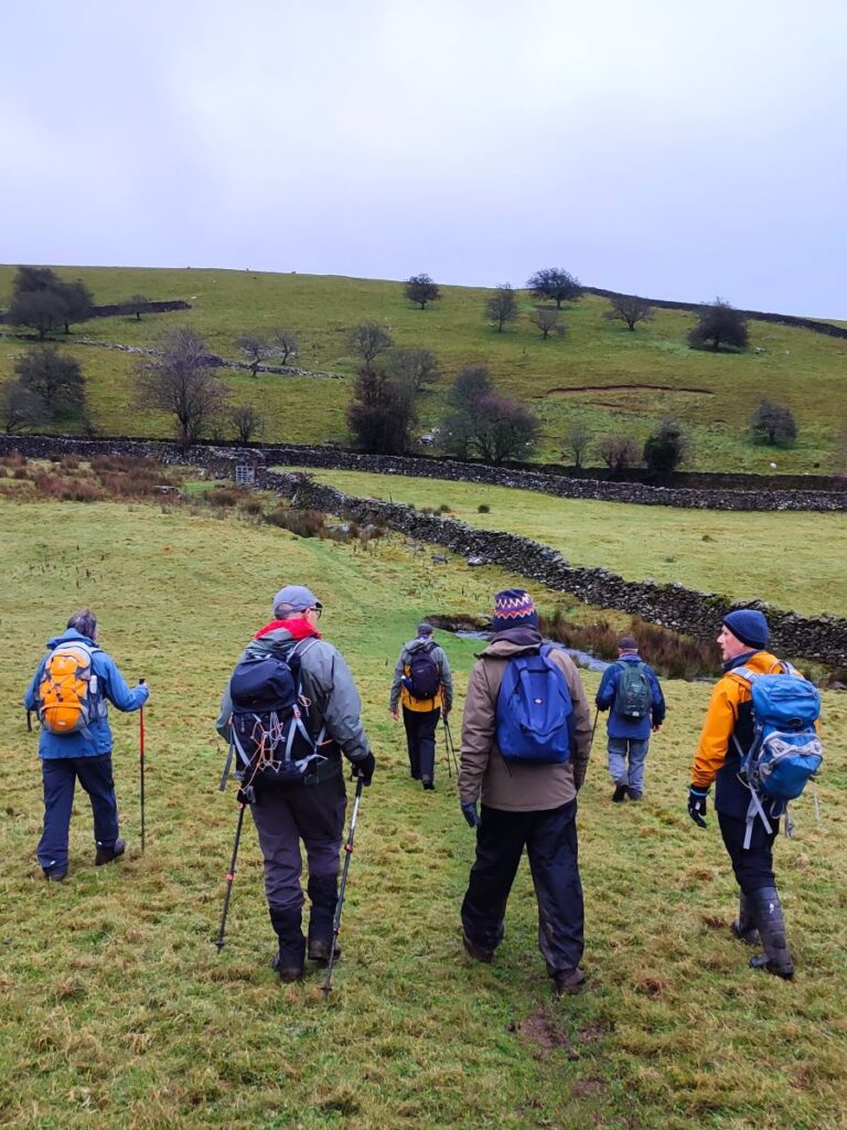
We continue south, passing a second house (Langthwaite), which is also to our right, and when we arrive at the access lane to the house, we take a small left-then-right dog-leg to continue with the path still heading south through four more fields, and eventually bearing slightly to the left and uphill toward a green lane that runs around the contours at the base of Barbon Low Fell. Not surprisingly then, this is called Fellfoot Lane
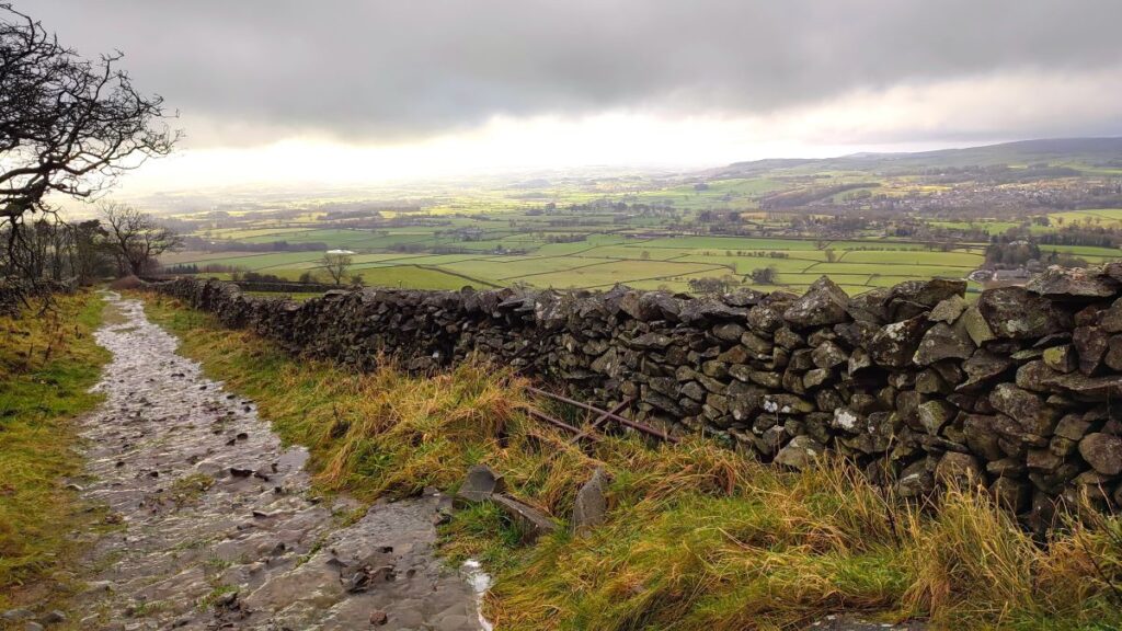
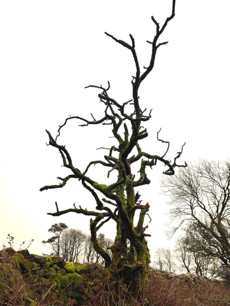
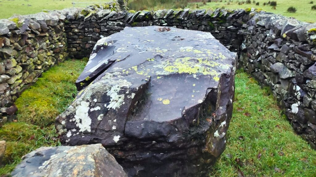
Once we reach the lane, we head right – keeping our eyes open all the way along here for the curious sheepfolds that sit next to the lane – these are a series of artworks by Andy Goldsworthy – each features a traditional drystone wall sheepfold enclosing a large boulder – and we pass several along this stretch of the lane. Click here for more detail

After a short while we arrive at a minor road. To our right, and downhill is Casterton – if you want to see more of the course of the Roman road take a short diversion to the next road junction – the road you meet running from Casterton toward Barbon is on the route of the Roman road. Our route however continues to the left along the road and steeply uphill for a little while. As ever, take particular care when road walking, but expect very little traffic on this road as it is not a through route.
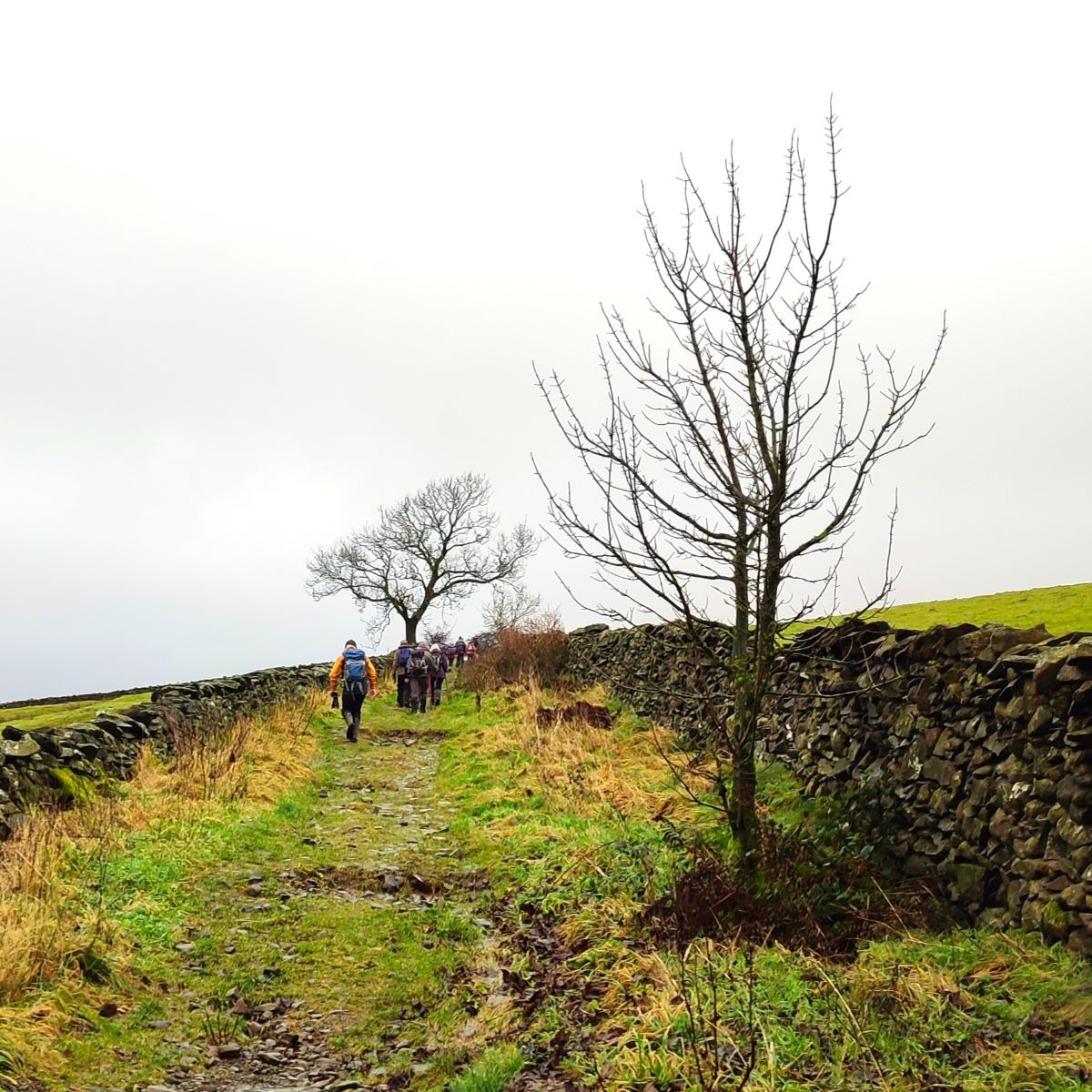
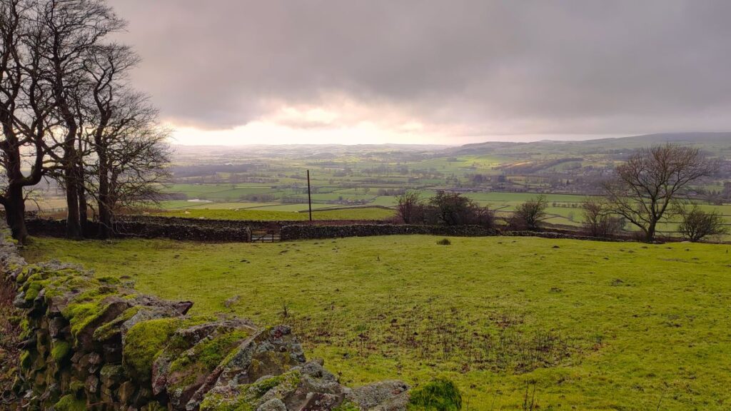
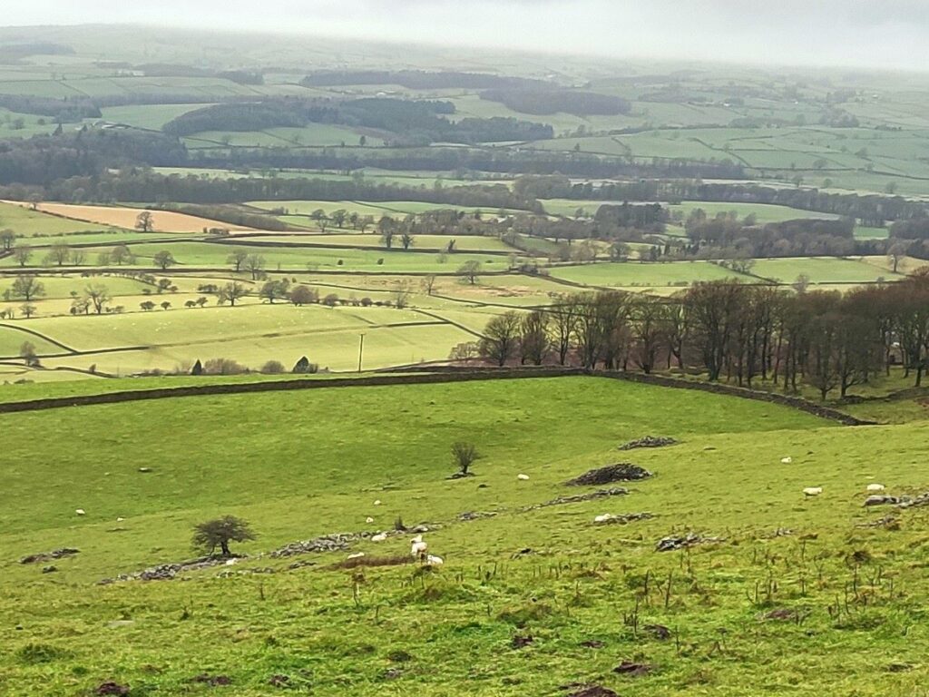
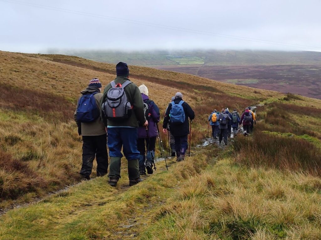
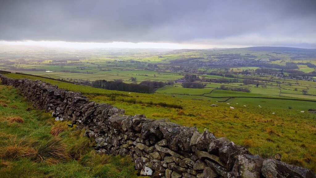
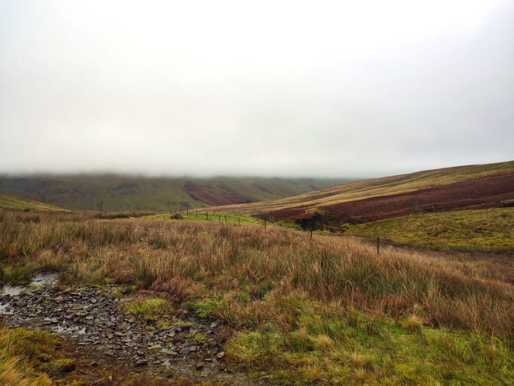
After no more than 500m on the road we arrive at a lane on the left similar to Fellfoot Lane where we passed the Goldsworthy sheepfolds. We take this track and head steeply uphill for a while – don’t forget to take the opportunity to look back and enjoy the views down the Lune Valley and out to Morecambe Bay.
Also of note on this stretch of the walk is an ancient stone circle, usually referred to as Casterton Stone Circle – it is visible in the fields to the left of the lane. Unfortunately, there is no direct access to the site on public footpaths – and we are not on open access land at that point. To find out more, click here
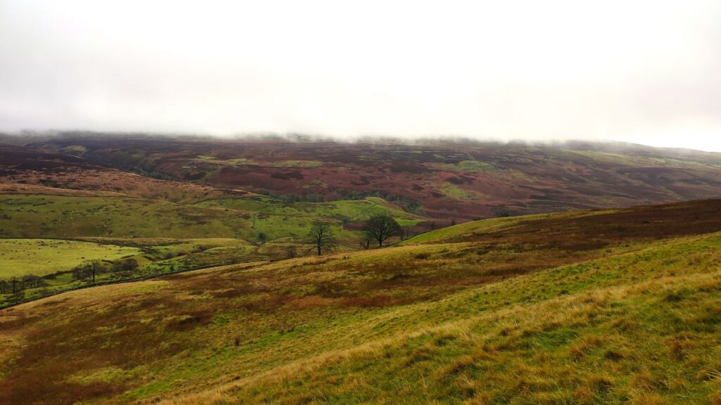
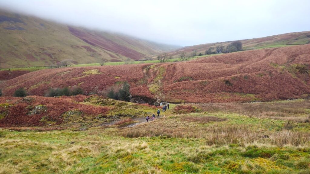
At the top of the lane, we pass through a gate and then turn right to continue toward Brownthwaite – we are heading northeast now, and after about 400m have the cairn at the peak of Brownthwaite clearly in view to our left. A short diversion to the cairn is well worth making if the weather is clear, as the views are fabulous, but the cloud was so low when the group made this trip that we opted to press on toward Bullpot.
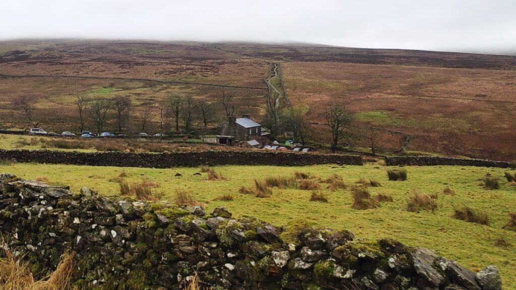
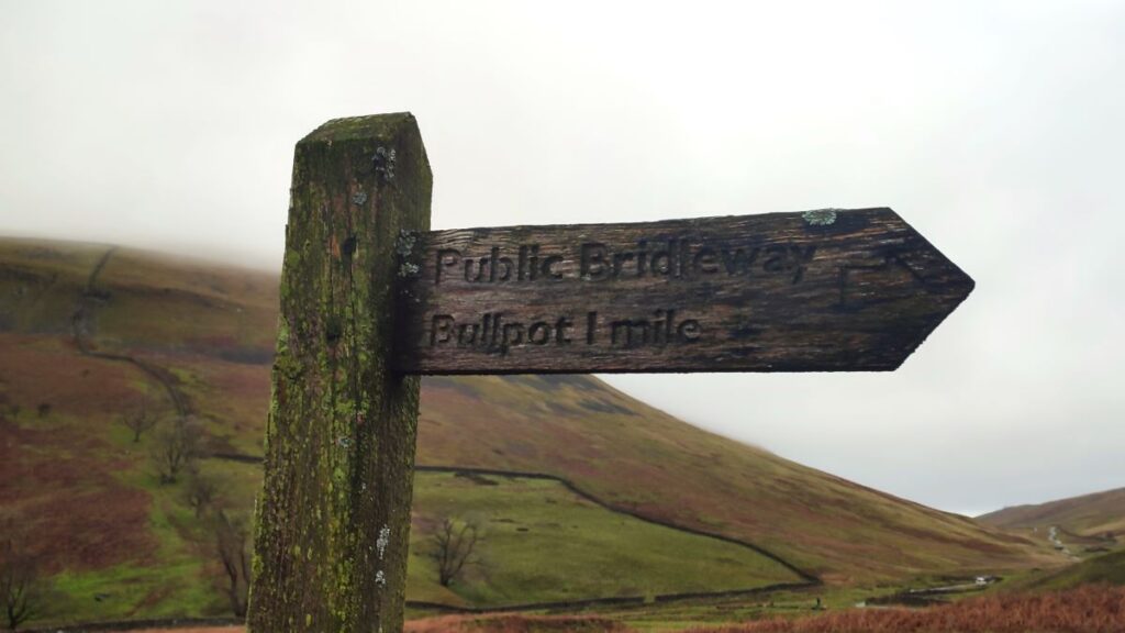
We have done most of the climbing now, and the route around Brownthwaite largely follows the contours, eventually arriving back at the road we left earlier – we go left and follow the road right to the end – which is Bullpot.
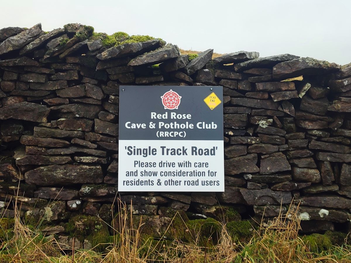
Conspicuous at the end of the road is Bullpot Farmhouse – once a working farm but now owned by the Red Rose Cave and Potholing Club. Just behind the house is the eponymous Bull Pot – one of many entrances to the famous “Three Counties” Easegill Caverns cave system – which is constantly being explored and surveyed by the club. On the day we walked past we spoke to a group who were arriving to take part in an underground treasure hunt with mince pies as the winner’s prize – and we thought our hobby was odd.
To see a YouTube video of a descent down Bullpot, click here
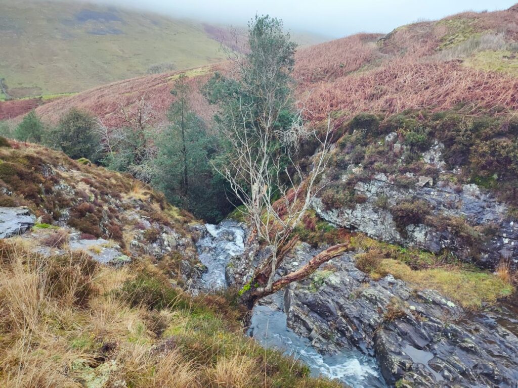
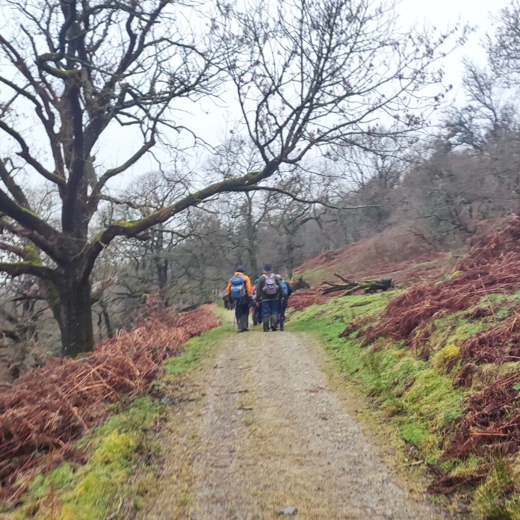
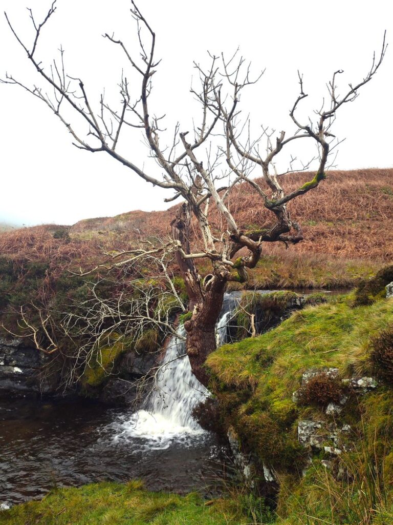
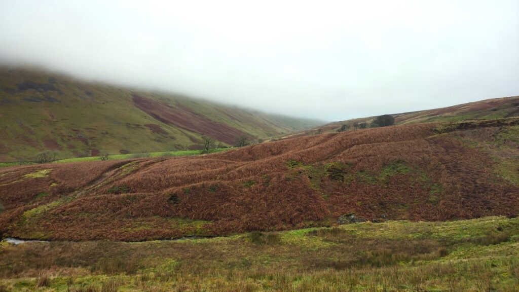
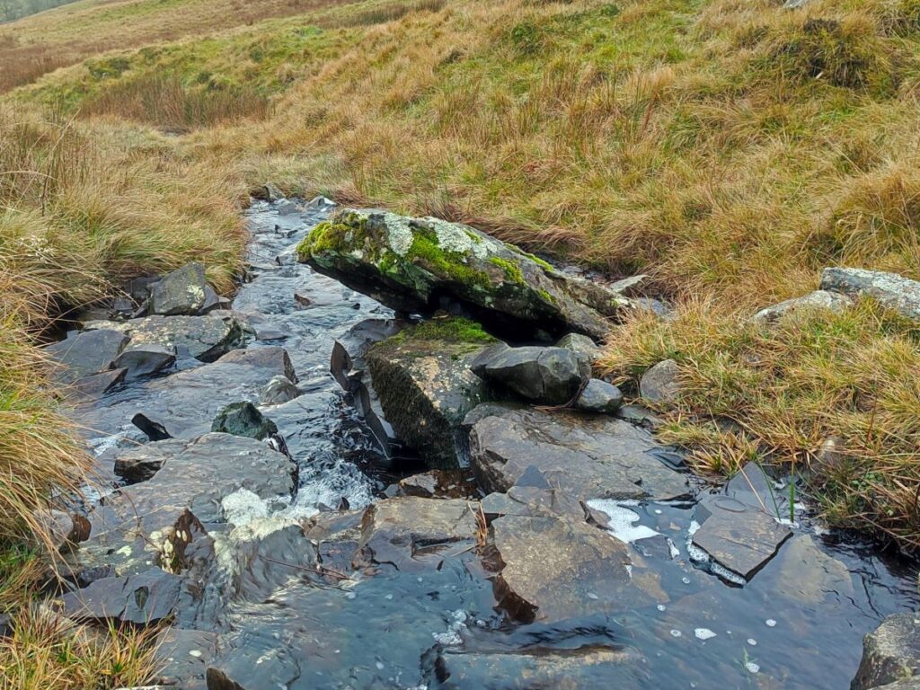
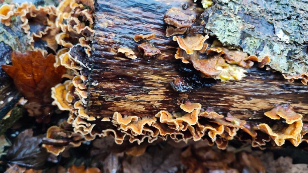
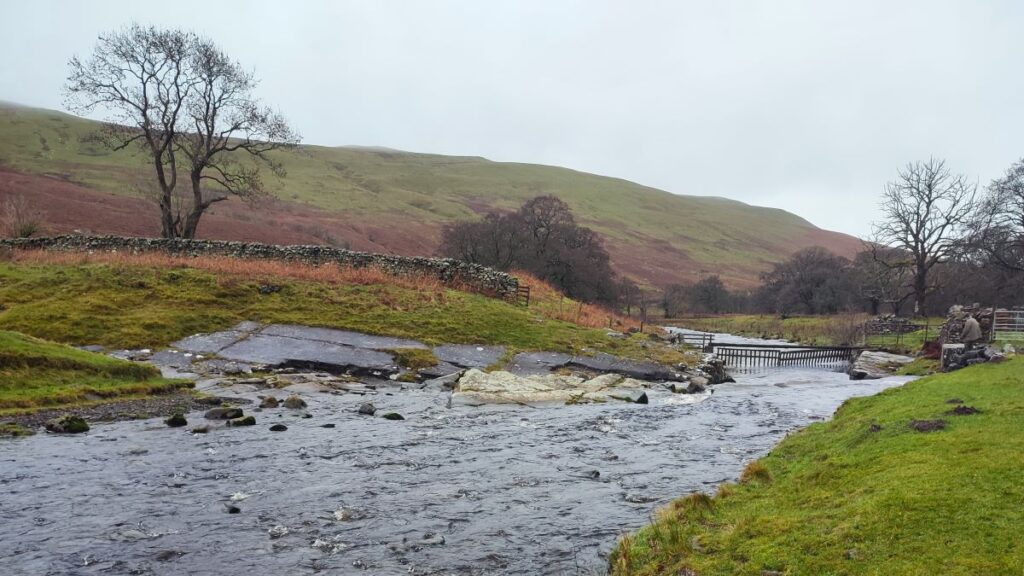
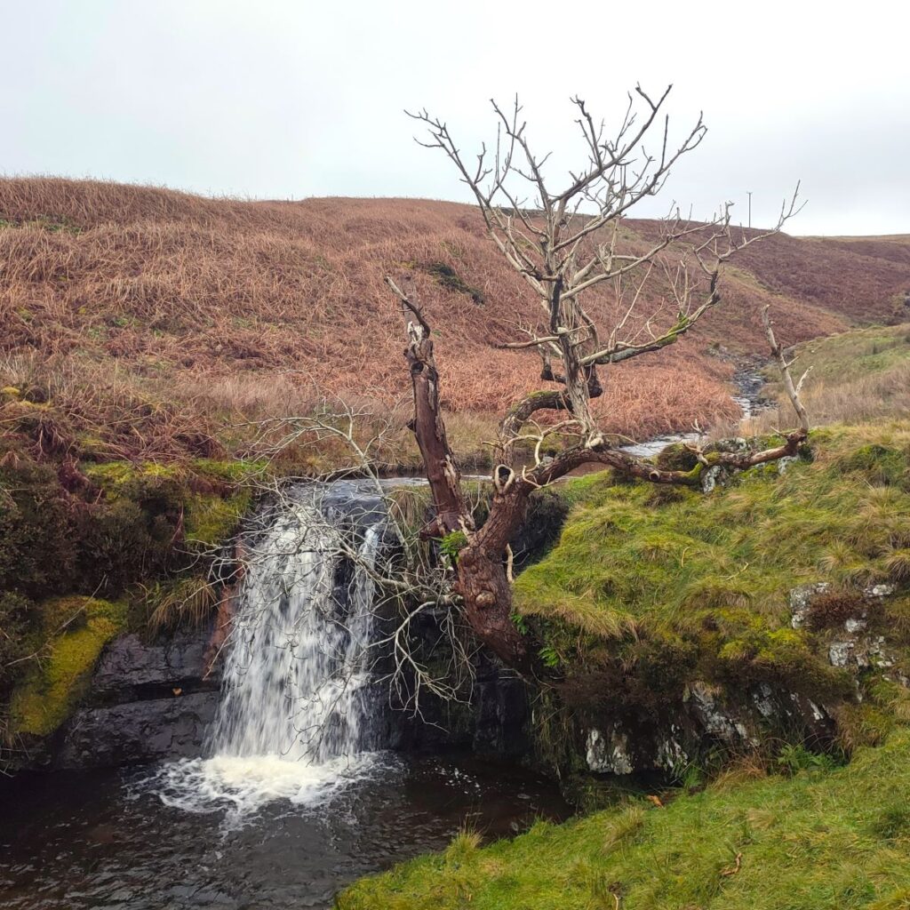
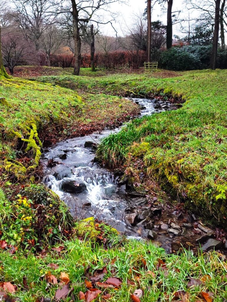
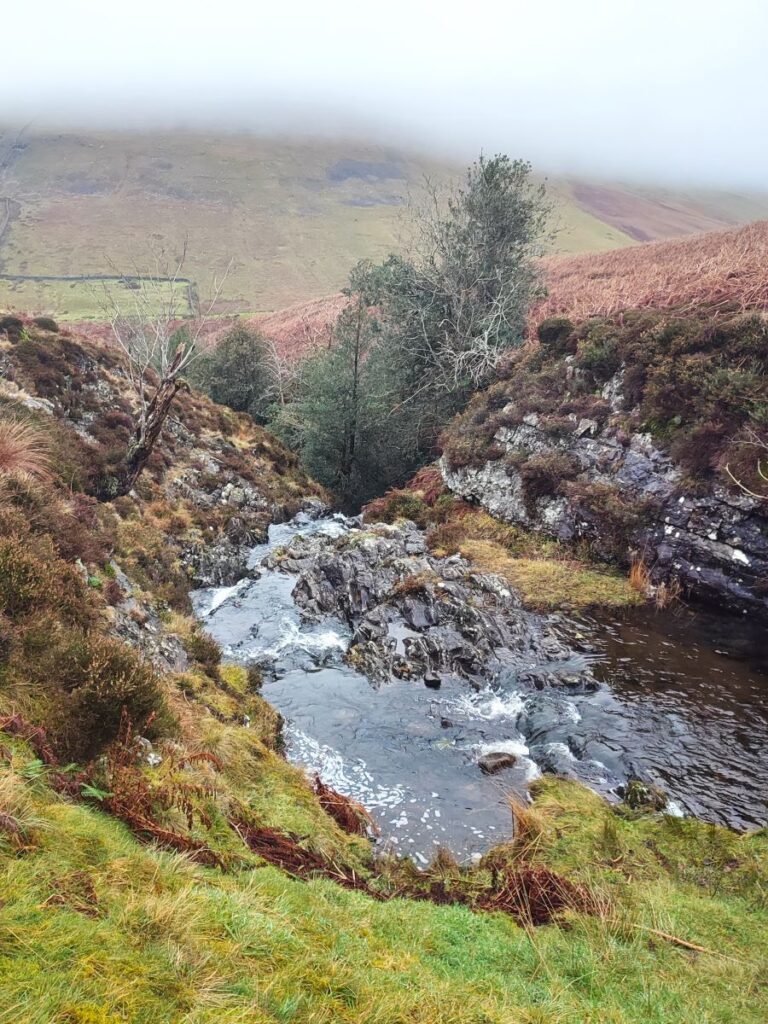
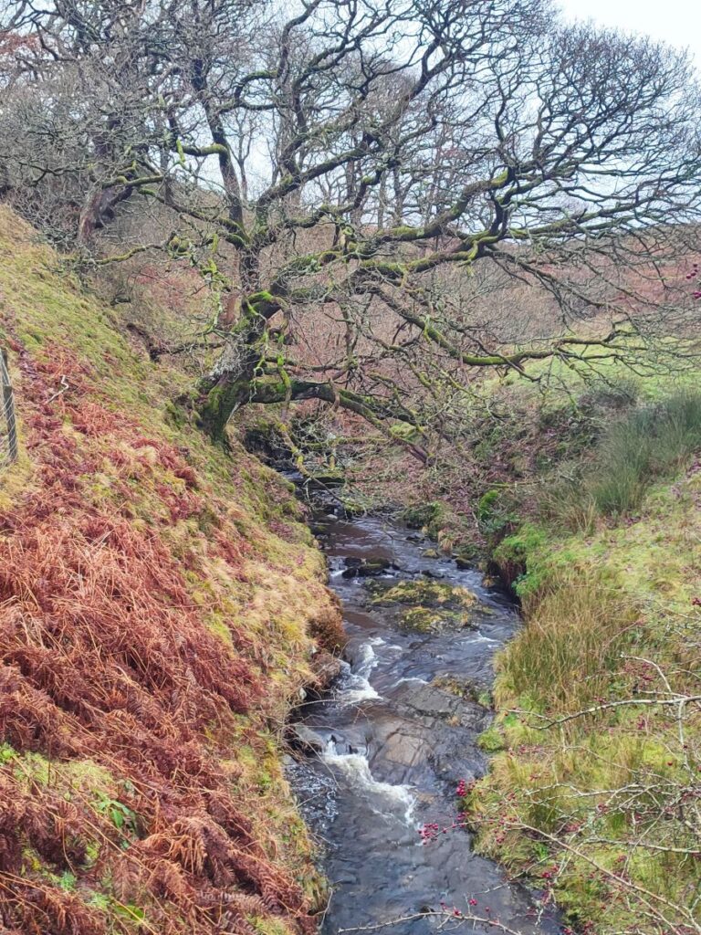
At the end of the metalled road, we have Bullpot Farm on our right, and a rough lane on our left – we take the lane and start to head back toward Barbon, initially between drystone walls, and then after a gate on open moorland. The direction of the path is clear, but erosion is a constant problem here and you may need to wander a little way away from the track on the OS map to find secure footing. Before long though, the path improves and turns to the right heading toward a waterfall – which will be spectacular after heavy rain and almost un-noticeable after prolonged drought.
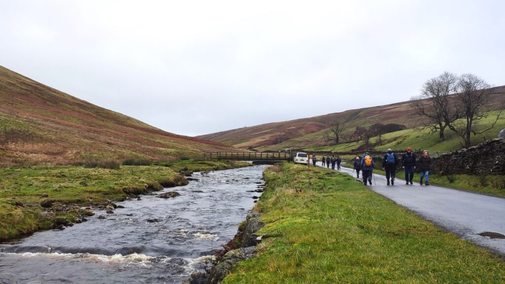
From here the path continues down to the metalled road which runs between Barbon and Dent, where we turn right to walk along the road in the direction of Dent for a short while.
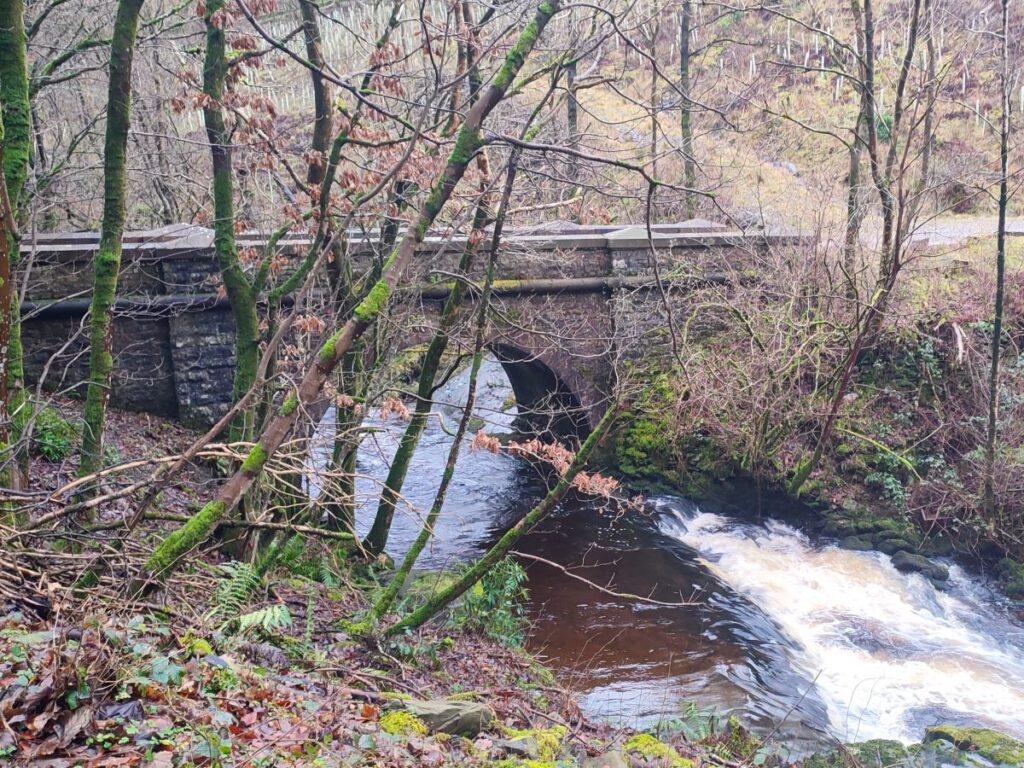
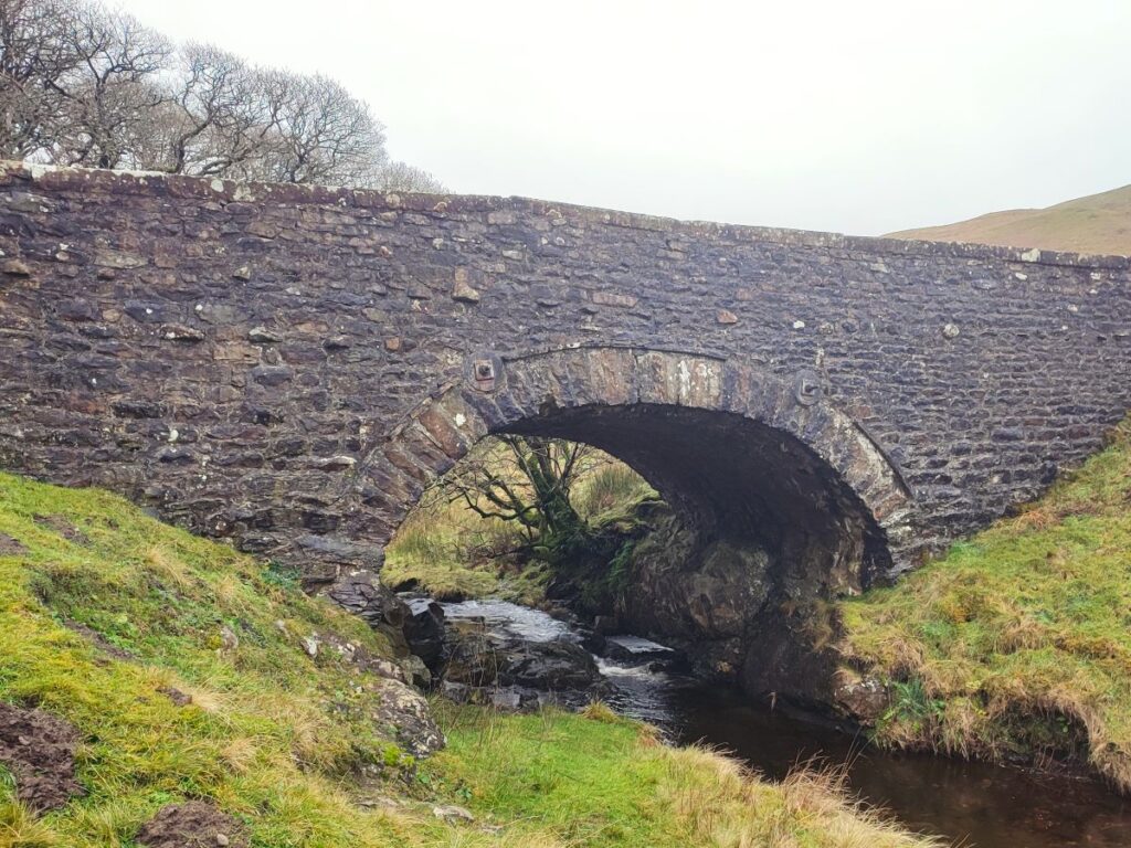
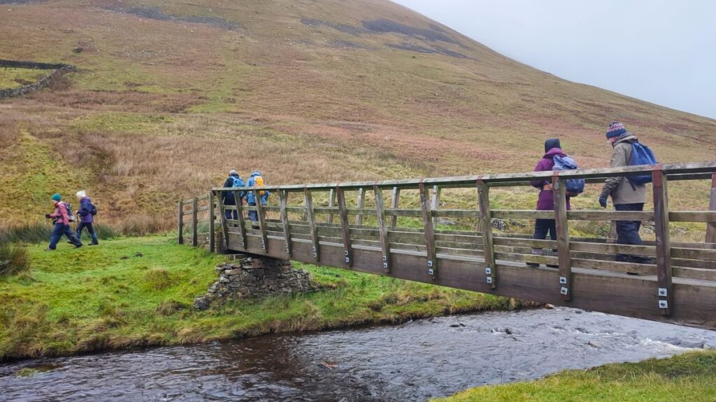
We cross a stone road bridge and then as the road bears right see a wooden footbridge over the Barbon Beck on our left. As we cross the footbridge, we can enjoy views up Barbondale toward Dent on the right, whilst ahead and a little to the right we have the looming peak of Castle Knott – rising more than 200m higher in just 600m of linear travel. That’s not a challenge we choose for today, so we turn sharp left and follow the path on the right hand bank of Barbon Beck for a while.
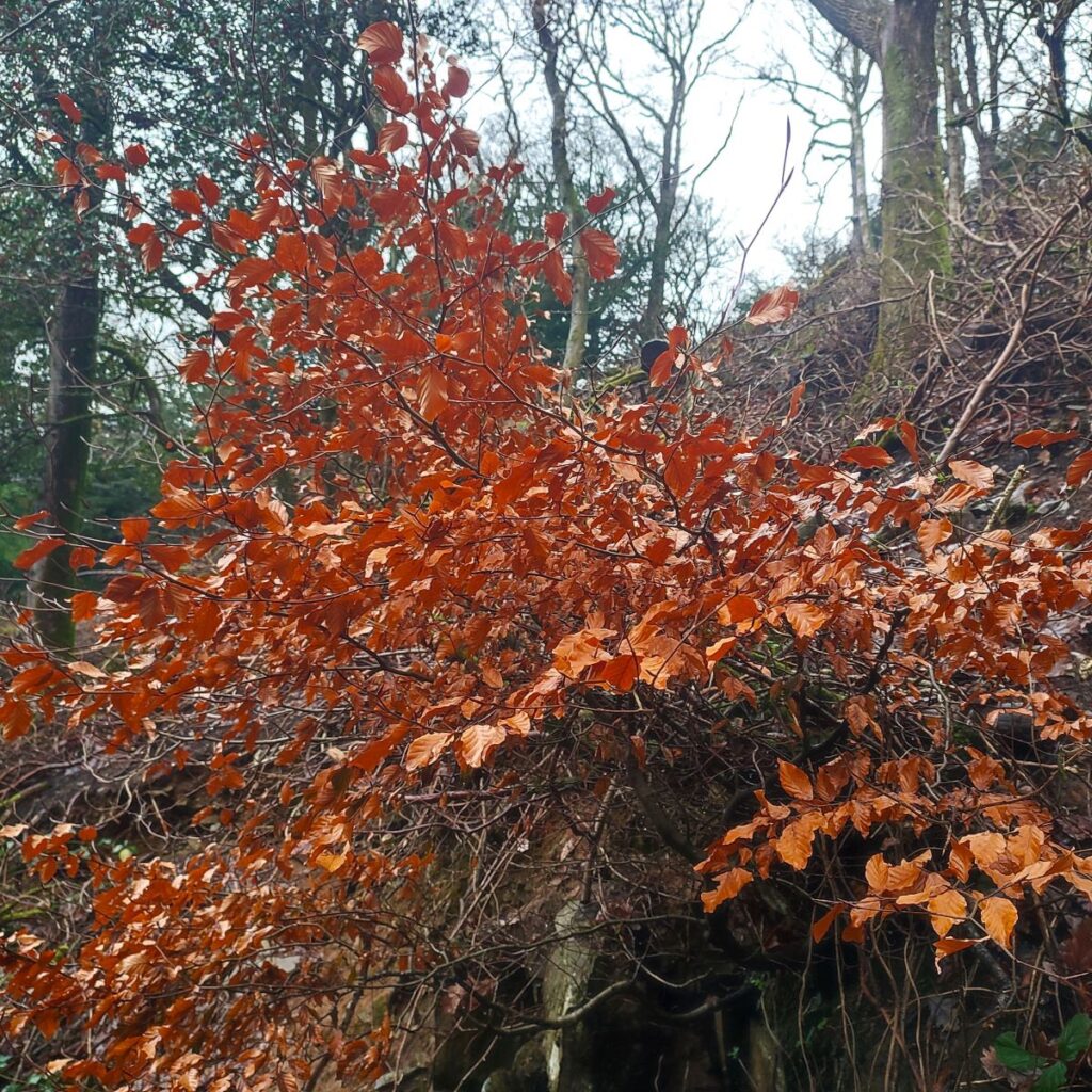
This takes us through well managed woodland that belongs to the Barbon Manor estate – the paths are wide and clear and where they intersect with estate tracks that are not open to the public there is clear signage.
After following the path through the woodland for about 1km, we arrive at a slight rise to a twisting metalled road, where we see “Armco” barriers on the corners, painted with black and white stripes – this is because the section of road is used for motor racing as part of the famous Barbon hill climb. Click here for more details of the event, and here to see a YouTube video from the cockpit during a recent race
The route down through the estate grounds toward the church at Barbon is clear – we don’t walk directly down the road used for the racing – rather we cut diagonally across with the church as landmark.
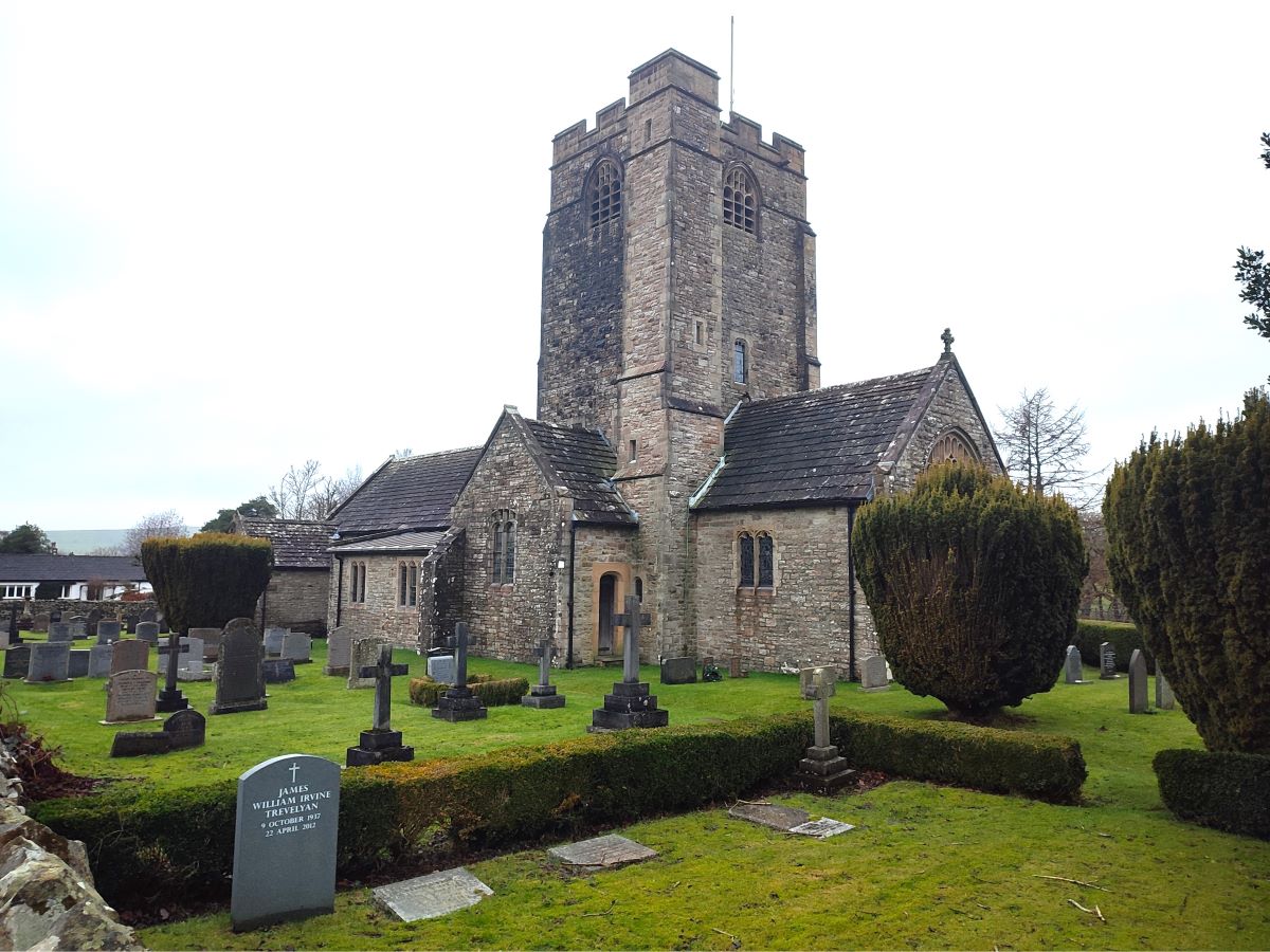
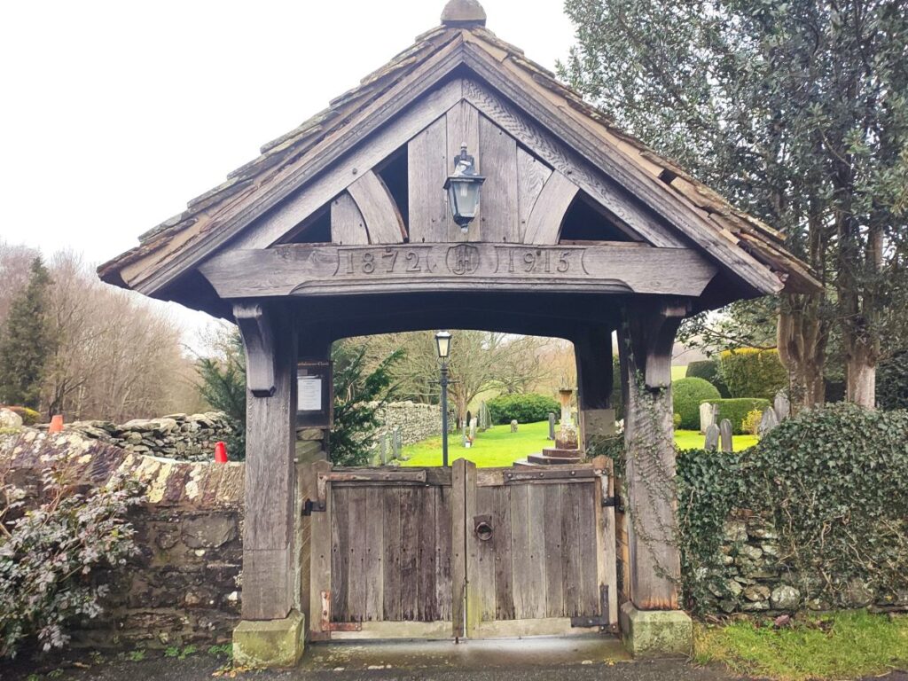
We soon arrive at another stone bridge over Barbon Beck, after which it’s just a short stroll to St Bartholomew’s, where we admire the lychgate and the simple but very attractive church: It is thought that there was a “chapel of ease” in Barbon as early as 1610. A chapel of ease is a church building other than the parish church, built within the bounds of a parish for the attendance of those who cannot reach the parish church conveniently.
The new church was built in 1815, but must have been very short lived, as the Paley and Austin designed church, we see today replaced this one in 1893.
We now head right, and downhill back to the centre of Barbon – notice on the left as we walk down the hill a development of modern bungalows. This is the site of the old railway station – there is little to tell us that there was ever a station here – but photographs do still exist from the time when the station was in use.
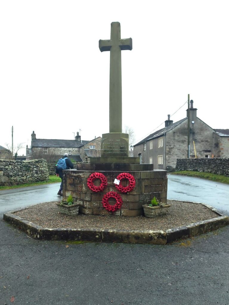
Our final landmark for the day is the war memorial – we turn left here and walk back to the Village Hall where the walk ends.
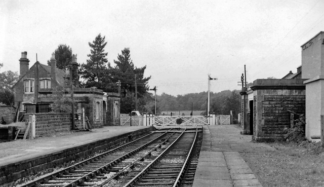
By Ben Brooksbank, CC BY-SA 2.0, https://commons.wikimedia.org/w/index.php?curid=12763553